


Heading East
How it all began: Background and preparation
Traveling has been our passion long before we started flying. Besides numerous trips mainly to Southeast Asia and South America, we had traveled around the world twice. The first of these journeys was an adventurous trip that started on a cargo ship from Hamburg, Germany to Guayaquil, Ecuador and involved all sorts of transportation thereafter. The second was on an RTW (round-the-world) ticket with Oneworld.
Around the World, Around the World
When we bought our Mooney in 2012, it was already with the dream to fly her across the Atlantic one day, what we already did in 2014. However, despite our previous experience, it didn’t cross my mind that somebody could fly around the world in a single engine piston aircraft.
I can’t remember exactly when I played around with possible routes for the first time but it must have been before our South America trip in 2017. The previous owner of RM planned a round-the-world attempt with his Malibu at that time and told us about it. He successfully completed his trip about the same time we returned from South America. However, back then I came to the conclusion that a round-the-world trip would be beyond the capabilities of our Mooney, but it became the ultimate dream from then on.
In 2019 I learned that flying through Russia was possible for Western aircraft and that a company called MAK offered to deliver Avgas to any airport in the vast country. The flight time from Anadyr in northeastern Siberia to Nome in Alaska would not even be three hours, and reaching Anadyr from Japan with one or two more stops in Siberia should be no problem.
It was only a year or so after our return from South America and we were not ready yet for such a trip but at least we thought about it. We knew that getting to Japan via the Middle East, the Indian Subcontinent and Southeast Asia would require much more planning and preparation than what was necessary for the South America trip. Plans solidified beginning of 2020 – we seriously considered a round-the-world attempt via Anadyr for 2021. We looked for possible routes, the best season to go, requested the first quotes from MAK and other handling providers on the way. Leaving Japan behind mid-June, before the typhoon season starts, appeared to be a good idea and to our surprise the quote from MAK wasn’t as outrageous as we had expected.
In March 2020 the pandemic hit with harsh restrictions all over the world. I was convinced that this would be over after a few weeks and Tina and I agreed to pause our planning for a while – there was still plenty of time. By fall 2020 it was clear that I had been completely wrong and that planning for 2021 was not realistic. The situation with regard to restrictions was volatile and chaotic all through 2021. We made the best out of it and flew all around Europe whenever possible but we didn’t start planning again. Everything appeared so uncertain that we simply couldn’t get ourselves motivated.
2022 started and finally the pandemic seemed to come to an end, when Russia attacked Ukraine in February. Not that we would have flown through Russia after the attack but the war made that impossible even if we had the intention. At that point I was absolutely sure that we would never fly around the world – at least not with RM.
In 2023 we were ready for a long journey once again and we started preparing a trip that would take us to Australia and back. We stopped at Chattogram for fuel on the way down as well on the way home, and the handling agent we had there turned out to be a really nice guy. During our stop on the way home I chatted with him on the ramp and he was of the opinion that trips like ours with Avgas planes would probably not be possible any more in five years. I had to concur but it somehow left a thorn in my side.
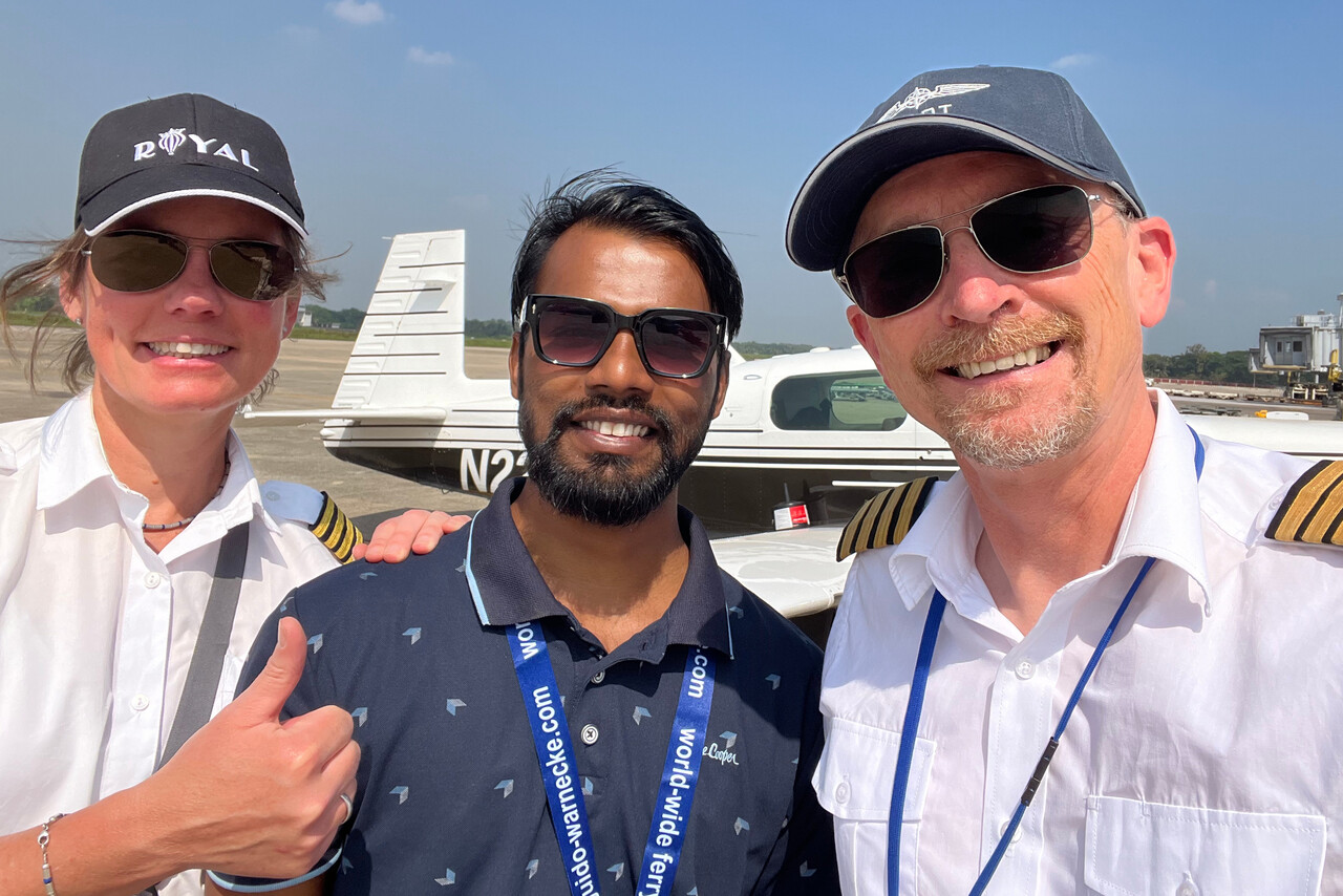
In the summer of 2024 Tina saw a Facebook post about a round-the-world flight with a Mooney 231. She forwarded it to me and we were electrified. The pilot was Pieter Nel and it turned out that we even had been in contact before because of our trip to Oz. He did his RTW in the difficult westerly direction against the prevailing winds but he was solo. We immediately thought that if he could do it solo but against the wind, then we should be able to do it with the wind but two up. We followed Pieter’s journey closely, he would become our biggest inspiration.
Now you are committed
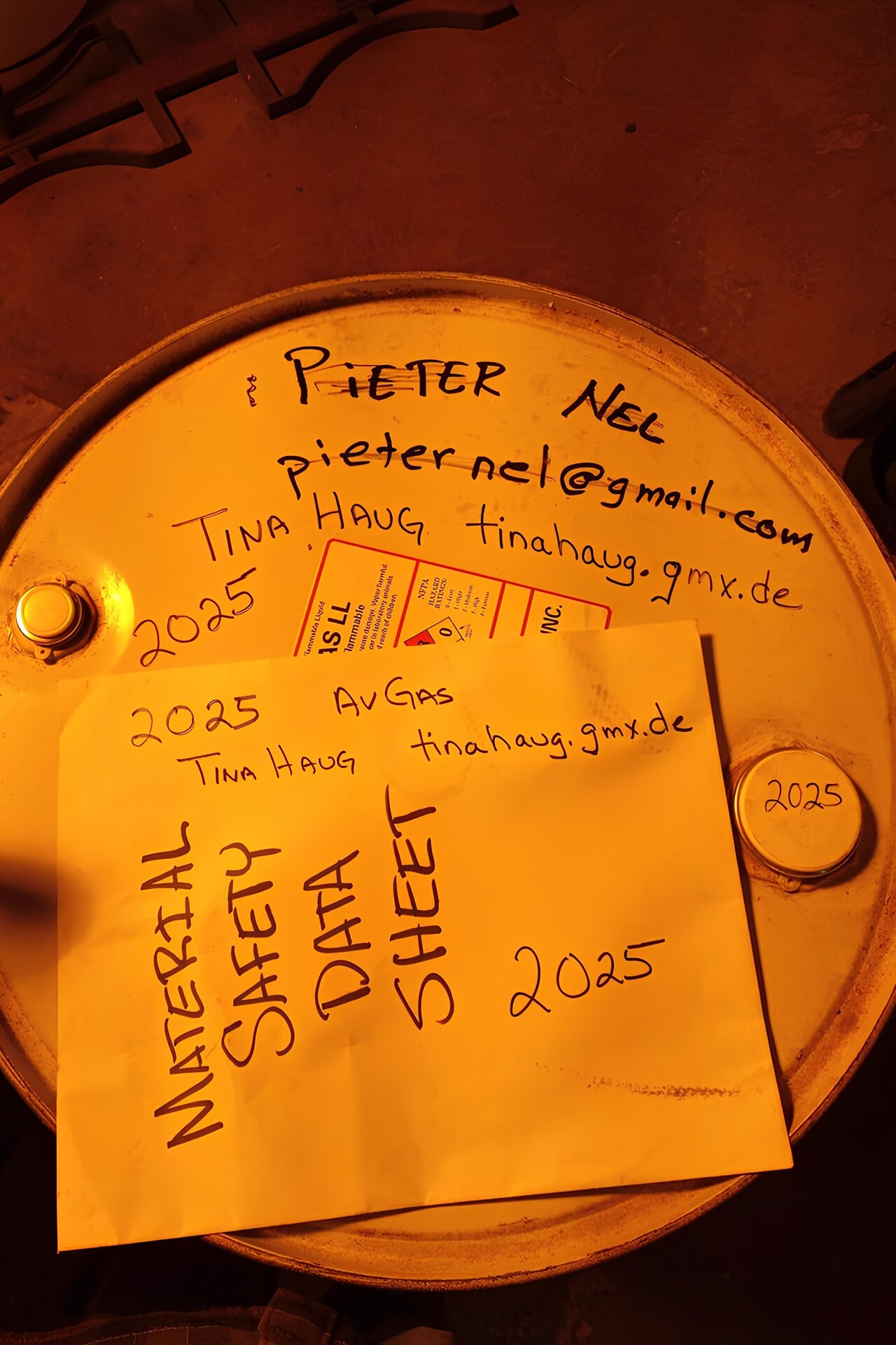
What really amazed me was that Pieter was able to cross the North Pacific. To the best of my knowledge there was no Avgas available between Obihiro in Japan and Cold Bay in the Aleutians – a great circle distance of more than 2,200 nautical miles. In practice it would be much more as the great circle route would lead through Russian airspace. However, we learned that Pieter was able to refuel in Adak which is 500 nautical miles closer to Obihiro, at least along the great circle. We asked him how he managed to get Avgas in Adak as we needed that as well. He replied “In this case I have a solution for your problem”. Pieter had arranged the transport of his Avgas to Adak in drums and he had ordered an additional drum in case he had to turn around. This drum was still in Adak with his name written on it. He was willing to sell it to us for the price of the fuel. Tina transferred the money to Pieter and he informed the guy in Adak who took care of it about the change in ownership. We received a picture as proof, and from Pieter a one-liner: “Now you are committed”.
We were sitting on the terrace of a bar in Lorca, Spain when Pieter’s email reached us. This was not even half a year after our return from Australia and actually too early for yet another big trip but still, having the conversation with our Bangladeshi friend in my ears, I said “we’ll have to fly next May”. We ordered two more cañas and the project was formally kicked off.
When we returned from Spain, both of us suffered from a really bad cold, but as soon as we had recovered after a few days, we started planning and preparation of our round-the-world trip.
Initial planning and preparation
We certainly planned this journey much more thoroughly than any of our previous ones. Making a rough plan on when and how to fly wasn’t too hard, though. First we could dig out the research results from 2020 and second it was only half a year ago that we had flown between Europe and Southeast Asia.
It would be very cold up in Alaska before mid May or so and from July the Aleutians are often plagued by fog. Summers are rainy in Japan but typhoons usually don’t occur before mid June. Therefore it was obvious to hinge the schedule on the Pacific leg which should be flown beginning of June.
Taking into account our experience from the flight to Oz and Pieter’s reports, I came up with a suggestion for the route to Japan. The stops were dictated by the availability of Avgas, as usual. We knew all of them till Singapore. We had learned from Pieter that there is Avgas at Clark, RPLC in the Philippines. The stop in Balikpapan, WALL in Indonesia wouldn’t have been absolutely necessary but it had two advantages: it avoids a very long leg in the tropics and it’s in the southern hemisphere. While it’s not a requirement to cross the equator to make an RTW attempt count, we felt it would make our journey complete.
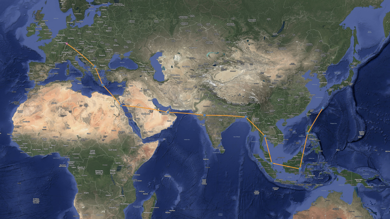
For some reason I was of the opinion that we should complete our trip as quickly as possible. Tina later convinced me that this was nonsense but initially I planned accordingly. We would need one stop somewhere in central Japan, so leaving Germany mid-May would have worked. If we had sticked to this “as quick as possible” idea, it would have been feasible to be back at home by the end of June.
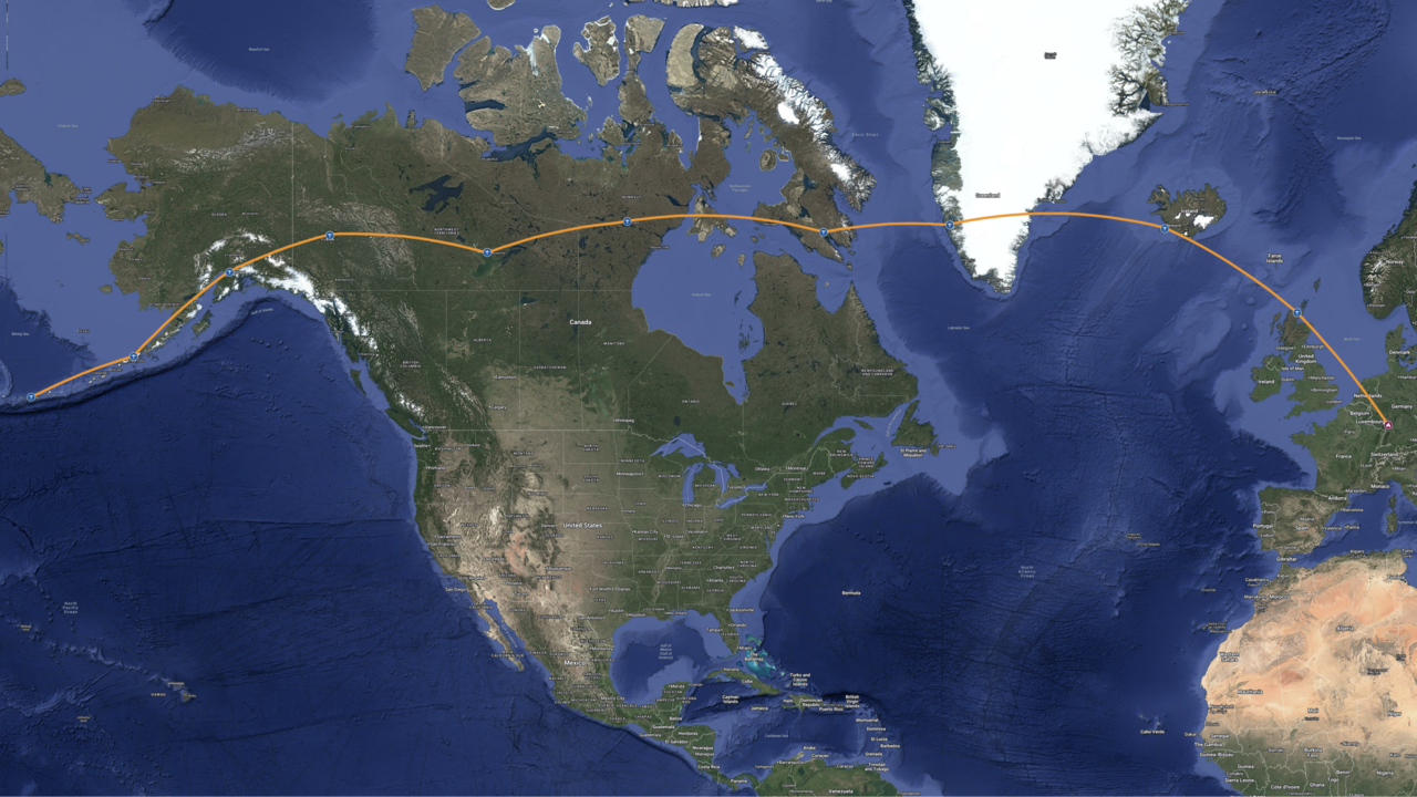
White Rose Aviation had obtained the permits (except Indonesia) for our trip to Australia and we were very happy, so it was obvious to use them again. We had done Indonesia ourselves with AFM Aviasi what was also good. Finally, already back in 2020 we had been in contact with Peter Steeger about flying in Japan. Tina shot all three a mail, asking if they would work with us (again). The answer was yes and we got the confirmation that Avgas would be available in Balikpapan.
The route from Adak back home was not in our focus at all at that point, we would be completely free there. As it was obvious that we would enter Japan in Naha and the route to get there was pretty much fixed as well, it was the route within Japan that needed rough planning. Peter Steeger suggested to stop at two places in Japan between entry and exit. While the entry point was fixed, the exit point was not clear at that time. It would either be Obihiro or Kushiro.
Tina convinced me that we should spend two weeks in Japan and also take it a bit more leisurely from Singapore onwards. This meant that we would have to depart Mannheim around the first of May. This timing was probably as close to ideal as one can get. We would pass the subcontinent before the onset of the monsoon. It wasn’t perfect for the stretch from Chattogram to Singapore but some compromises have to be made. May is considered a drier month in Singapore, Borneo and Luzon, but then again this doesn’t mean much in this part of the world. As I’ve already written, late May/early June are ideal to cross Japan as well as to tackle the North Pacific and Alaska, and the North Atlantic is best done in summer too.
Once we had a departure date and knew with whom we would work, we could continue in our usual way. We set up a shared directory where we would put in all the digital resources including a text file that would contain the project backlog. And there was a lot we had to write into this file.
Adak is not a port of entry to the US, so we had to check on this with the US Customs And Border Protection (CBP). Moreover, we had to finalize the route within Japan and decide where we would exit the country. Neither our entry into the US nor the Japanese route were completely sorted until we commenced the journey, but at least we were confident we could get it done on the way. Fuel supply in Indonesia didn’t work as smoothly as we had hoped for last time, so we had to make absolutely sure we would get fuel in Balikpapan. We therefore requested a fuel release way in advance and it worked well this time.
In addition to the big potentially show-stopping items there were a lot of minor things to be worked on: A customs decal is required for an aircraft entering the US. Maintenance on the plane had to be scheduled and carried out before we left. Moreover, maintenance on the way had to be organized. The USA and India require visas if you enter by private plane, so we had to obtain them. We had to extend our nav data subscription for our avionics to worldwide and we had to look for a cell phone data plan that would work everywhere we would land at. Finally we had to work on the spreadsheet with all the fixed dates and routes all the way to Japan.
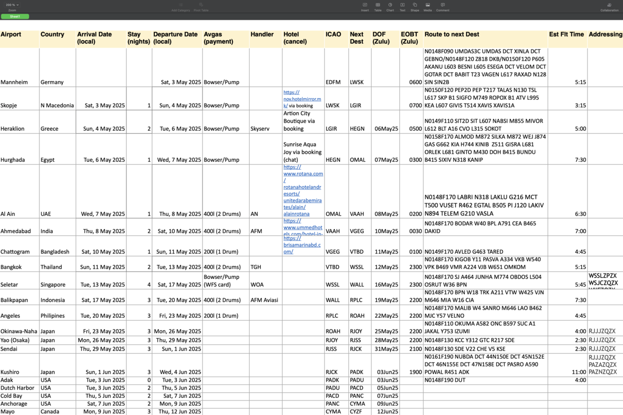
There were quite a few more things to be considered and worked on, besides the ones mentioned, but I will elaborate just on two more in greater detail: insurance and HF.
Insurance
Our regular insurance policy covers everything worldwide except the USA. We enjoy quite favorable conditions, but unfortunately our insurance company is not fond of small GA. Apparently they would be happy to get rid of us, the sooner the better. Therefore they try to make things as complicated and expensive as possible. When we flew to the US for the first time in 2014, we had to pay an additional 500€ to extend the coverage to worldwide for half a year. When we needed this again in 2017, they asked 1,500€ but in the end we were able to bargain it down 500€ again.
Insurance companies don’t interact with private customers directly, so we had to make our broker ask the insurer for a quote to extend coverage to worldwide once again. When they got the quote from the insurance company they hardly dared to forward it to us. They wanted almost 4,000€ in addition to our regular premium! As this wasn’t enough – they came up with several constraints and conditions: Insurance would be void if we stayed anywhere in the US for more than three days without hangarage, deductible would be much higher and a few minor dirty tricks.
Tina worked on the insurance topic and it was not much fun. Our broker is a nice lady and dealing with her is pleasant, but trying to negotiate with the insurance company was really tedious. Everything took for ages and in the end they simply didn’t move a bit.
Our broker suggested to ask for quotes from other insurers what we told her to do. Again it took forever to get any replies at all. Only one company showed any interest but the proposal was not very favorable for us. We would have had to change insurers completely and accept a much higher regular premium. Fortunately Tina had started working on this right away in October, so we had plenty of time.
I can’t remember when it was exactly, but one day I received an email from PPL/IR Europe, an organization I’m a happy member of. A French insurance broker offered free consultation for members and promised good conditions. I forwarded the mail to Tina without much hope that it would be of any help. We agreed that asking couldn’t hurt, though.
It should turn out that I was very wrong – what we saved in the end will pay my membership with PPL/IR for decades. The French broker was slow to reply but really friendly. We learned that they couldn’t help us directly but they partnered with a broker in the US who probably could. It took months but in the end we could get insurance just for the USA (and Canada, what we actually didn’t need) from a US company in addition to our regular contract. The US company was willing to consider my previous experience when calculating the premium and asked for 1,000USD for two months. Tina wouldn’t be allowed to fly while we were in the US, but that was OK for us.
HF
The Pacific leg would require HF, at least under IFR. As we wanted to be able to fly it IFR, we needed a solution. This would be one of my work packages but it wasn’t an easy one for me. I’m a computer scientist by training and this analog and RF stuff was always obscure to me. Anyway, even though it was way out of my comfort zone, it was much more fun than dealing with insurance companies.
Pieter went the expensive and – what he thought to be – more reliable way in this respect: he had an HF radio installed in his Mooney by an avionics shop in the US. Although he really paid a lot, he wasn’t completely happy with it. I wasn’t keen on spending a fortune on an installation that might not work as it should, so I decided to try out a non-permanent, “velcroed” solution.
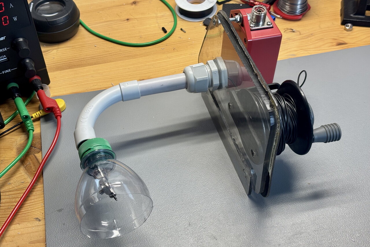
I had found a video of a guy who had such a solution in a DA42. His antenna was a long wire hanging out of the pilot’s window. I wanted to do it a bit nicer, but the basic idea would be the same. Of course I was afraid that the wire would interfere with the empennage of our plane and possibly jam the control surfaces. The only way to find out if this was a feasible solution was to try it out. I used a piece of wire that was just long enough to reach the leading edge of the horizontal stabilizer from the pilot’s window. I attached the wire to a wooden stick to have something in my hands when we would try it out. The stick would also prevent that the whole thing could get sucked out. I cut off the top of a water bottle and attached it to the other end of the wire as an aerodynamic stabilizer. We did a first test flight and to my relief it was not an issue at all. As soon as the wire had reached the trailing edge of the wing, it got pushed downwards. When it had reached the leading edge of the horizontal stabilizer, it was at least a meter below it. It seemed as if this could actually work.
Unfortunately I still had no clue of all this stuff, so I had to attend the YouTube University. I learned that I was building a random wire antenna. It is non-resonant and its length should be as far away from all integer multiples of ƛ/4 of all bands it would be used on, as possible. Furthermore I would need an 9:1 unun to get the impedance right. My internet research led me to the belief that a Yaesu FT-891 radio would be suited best for my requirements. As this device has no inbuilt antenna tuner, I would need an external one. The LDG Z11 Pro II looked good to me.
Fortunately I know a private pilot who is a ham radio enthusiast. He was willing to help me, so I told him all I had learned so far and what my idea was. He didn’t find it unreasonable and recommended I should go ahead. He would go flying with me once I really had the hardware.
I had kept the old pilot’s window when RM got new windows a few years ago. This would be the base for my antenna. My idea was to open the pilot’s window and clip in the antenna instead. To prevent it from falling out, I bolted a strip of plexiglass to the old pilot’s window. I installed tubes normally used by electricians as duct to guide the wire. I found a reel in a sport fishing online store that I considered ideal for my purposes. I attached all this stuff and the unun to the old pilot’s window and my antenna was almost complete.
I wrote a script that would calculate the best length for a random wire antenna from a number of bands the antenna would be used on. I made a list of all HF frequencies used by aeronautical radio stations world-wide that I could find and fed it to my script. It put out 19.71 meters. It felt a bit like when Deep Thought put out 42. Anyway, my ham friend said I should try it. I cut the wire to the exact length and attached my bottle top stabilizer to it.
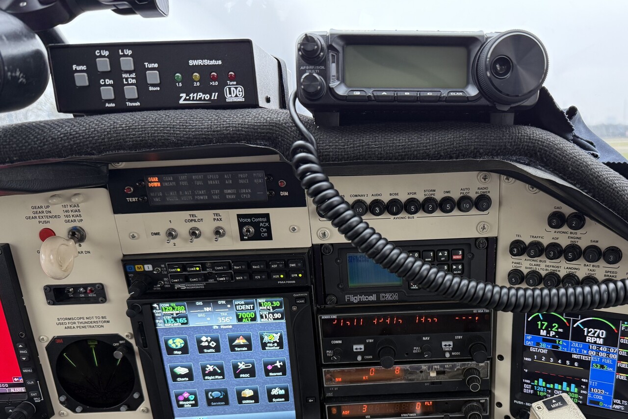
I decided to velcro the radio and the antenna tuner on top of the glare shield on the copilot’s side. This was not ideal but I couldn’t find a better solution. Unfortunately the radio as well as the antenna tuner only run on 14V while the electrical system of our Mooney is 28V. Therefore I needed a step-down converter to be able to connect it to the cigarette lighter. Finally I was able to connect the audio-out of the radio to the aux-in of our audio panel. I didn’t use any output of the audio panel – we would use a separate microphone.
Once I had all the hardware in place, my ham friend and I were ready for a ground test. I connected RM to ground power and pulled out the antenna wire in front of our hangar. I suspended the end of the wire using a ladder but I couldn’t get it up very high – just two or two and a half meters above the ground. We could receive the VOLMET (weather report) on 13.264MHz and my friend was able to get a contact on a ham band. The station was just 200km away but he found it wasn’t too bad considering how I had suspended the wire. However, he was concerned about RF in the shack – common mode current on the coax cable to the antenna that would impair transmission quality and possibly interfere with the aircraft’s avionics.
Our ground test took place on a miserable November day and it took a while until we could take to the air. When weather finally cooperated, my friend had arranged to contact another ham enthusiast who had control of a station down in Portugal via the internet (hams are as crazy as pilots, apparently). From 4,500 feet over Mannheim we had very good contact to the Portuguese station, even better than to the ham’s local station only a hundred kilometers away. Moreover, we could perfectly read VOLMETs on different frequencies.
As ultimate test we wanted to try to get hold of an aeronautical radio station. We didn’t have current information on what frequencies were in use that day so we tried some that we had found on the internet. We started at three or four MHz, IIRC. We couldn’t hear anybody talking on any of the frequencies nor could we raise anybody with our transmissions. However, the higher the frequency we selected, the more apparent was the interference from current mode current. Some annunciation lights would dimly glow and engine monitor data went crazy while we transmitted. When we tried something around 17MHz the effect was dramatic. Both alternator field breakers popped with a bang when we pressed the PTT button. This scared me quite a bit and even though everything was back to normal once I had recycled the breakers, we returned to base immediately.
My ham friend suggested that I should add a choke, aka 1:1 unun to the antenna to get rid of the common mode current. This was no surprise to me after binge-watching ham radio videos on YouTube for the last months, so I purchased one immediately. I was able to attach it directly to the 9:1 unun that was already part of the antenna.
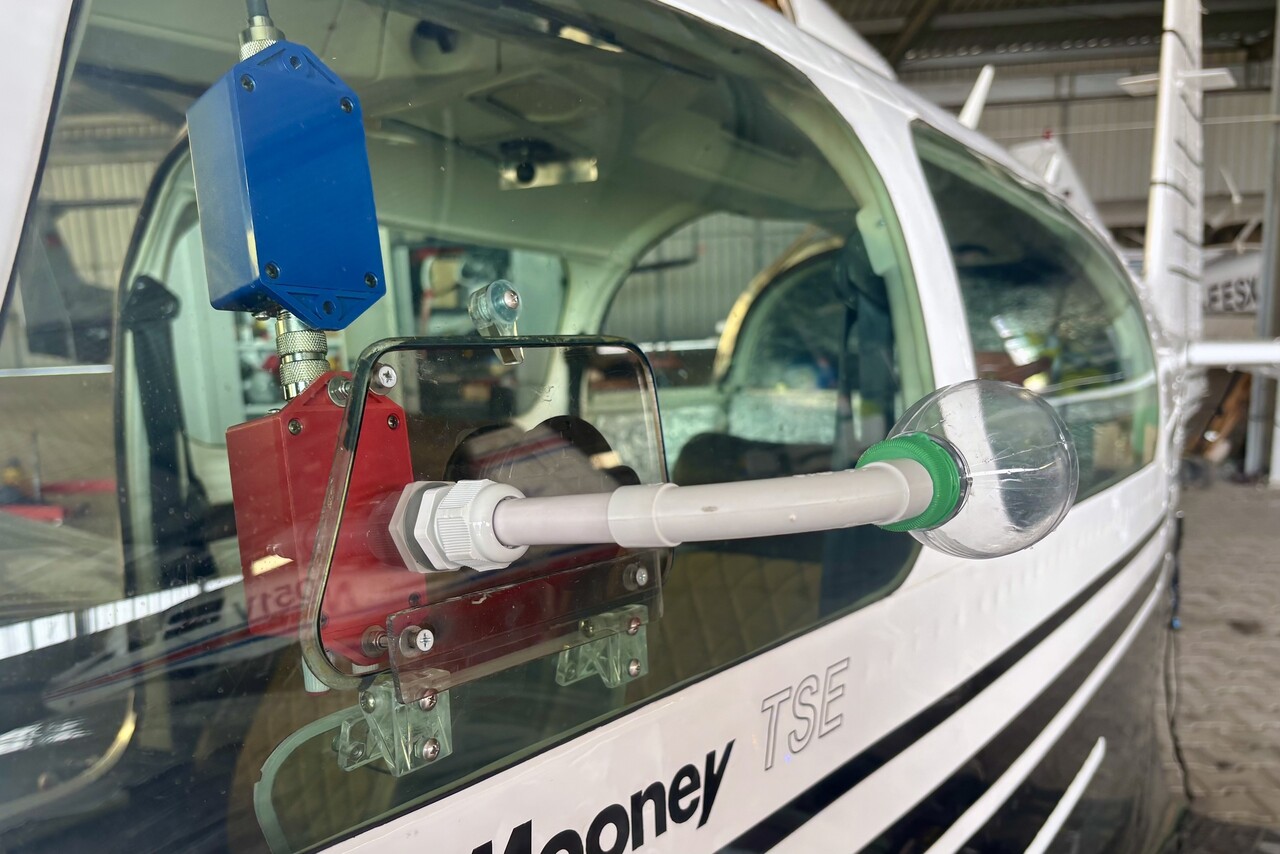
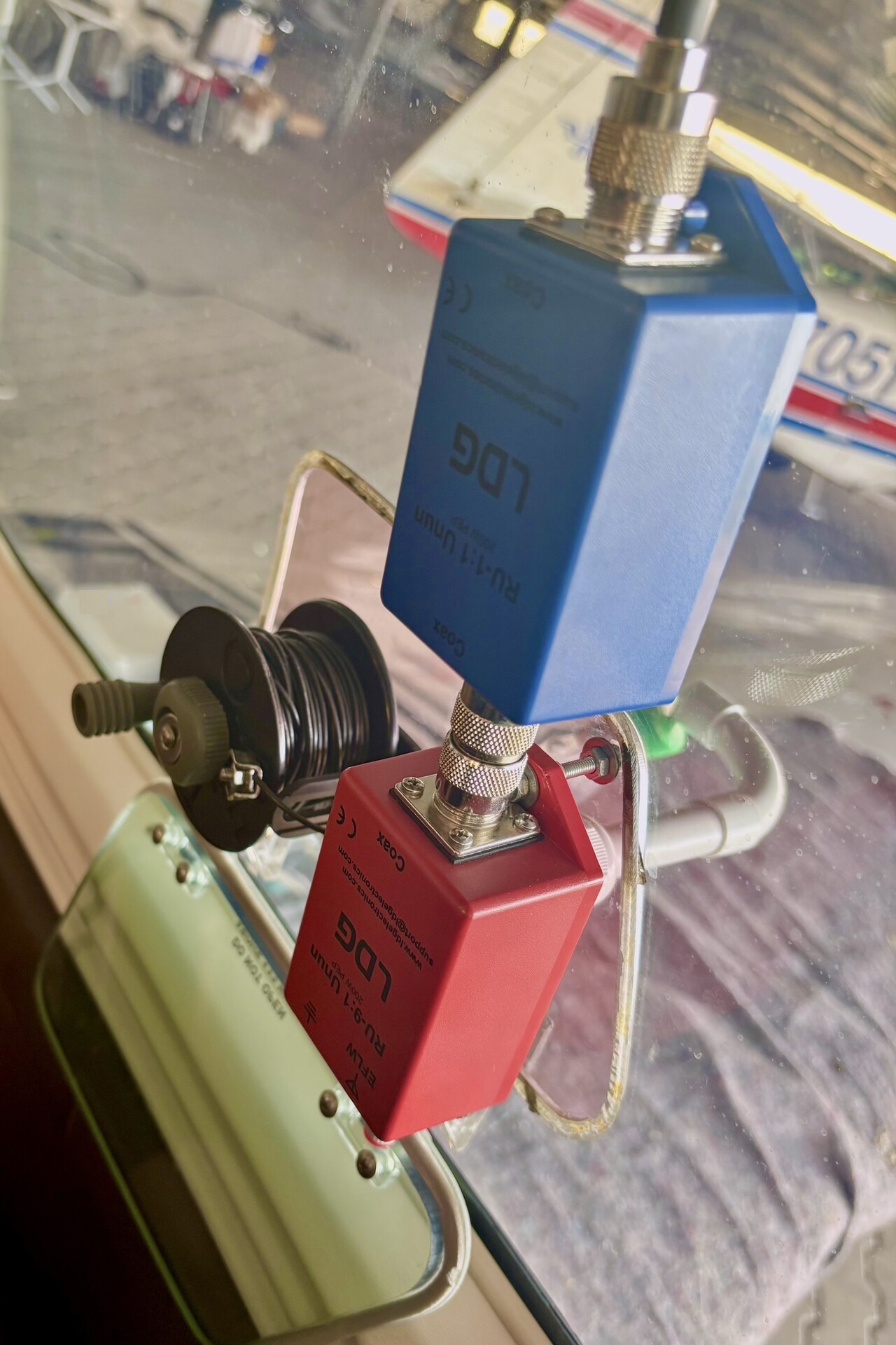
I did another ground test, transmitting on the problematic frequency and apparently the choke did the trick. Tina and I went for another test flight to get a little familiar with our new equipment and to do a few more tests. Everything was fine on all frequencies and even though we could never raise anybody from an aeronautical radio station, we were pretty confident that it would work when we would need it. I removed all the stuff again, it would be baggage till Singapore.
Final planning
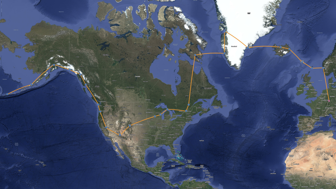
While we were busy with preparations, our plans evolved somewhat and eventually solidified. There wasn’t much change to the initial phase from Mannheim to the Philippines, but we had decided to stop at Kyoto and Sendai in Japan. We had learned that we would not be allowed to fly to Cold Bay directly from Adak but would probably have to clear C&I in Dutch Harbor. My idea of doing the whole journey rather quickly was off the table, we agreed to fly down to the continuous US and attend the Airventure in Oshkosh a second time. I looked at the map one evening and said to Tina “Let’s try to make the destination of each flight at least a bit east of its origin”. She immediately agreed and called it the east mandate from now on.
As the date of our Pacific crossing was more or less fixed, we would have plenty of time to visit a few interesting airfields in Alaska as well as in the Lower 48 and still reach Oshkosh in time. We just had a rough idea about that and we hadn’t really planned the Atlantic crossing at all at that time. However, we wanted to do it slowly and we wanted to make sure never to take it lightly even after crossing the Pacific – “Fly that plane to the hangar” as Tina keeps saying, putting a Juan Brown tone to her voice 🤣.
Our journey around the world
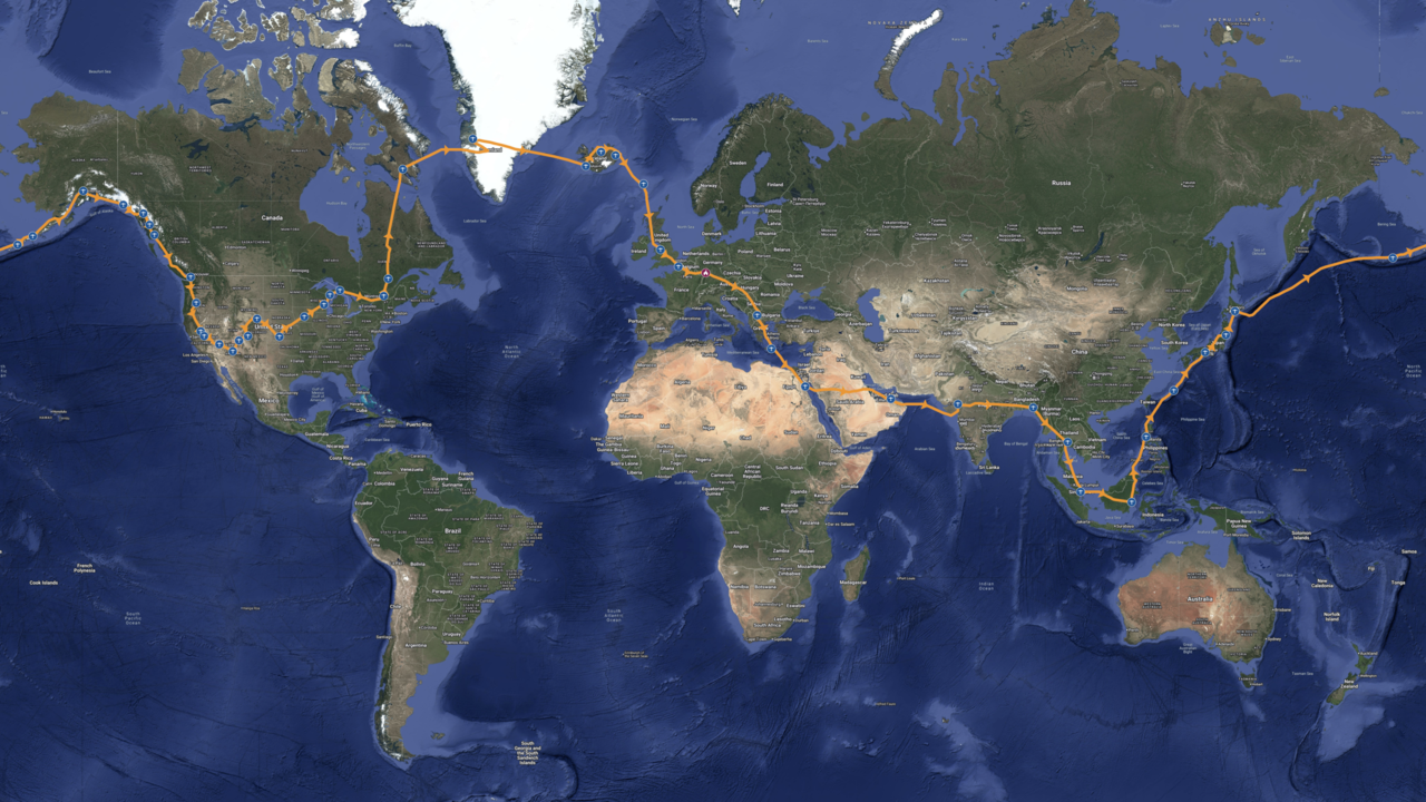
We left home on May 3rd and returned after almost three and a half months on August 13th without violating the east mandate. The route we took in the end wasn’t too far away from what we had planned or what our general idea was for the parts where we didn’t have a real plan. The exception was Greenland where things went differently, but that was still a long way ahead at the time we left Mannheim.
Each journey begins with the first flights: To Crete
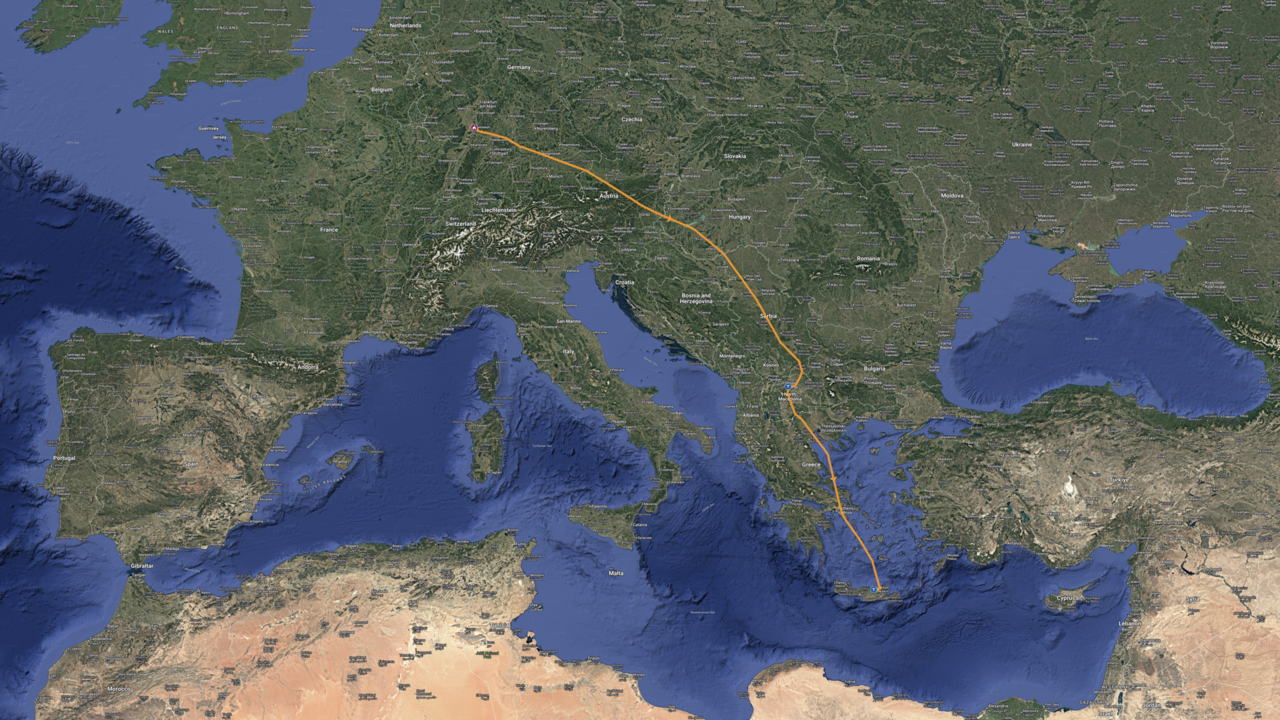
Hurghada in Egypt would be our first stop where an overflight and landing permit with an exact date had to be obtained in advance. It’s almost 1,800NM from Mannheim to Hurghada and we didn’t want to rush it. Therefore we decided to land at Skopje, LWSK and Heraklion, LGIR on the way, even though we could have reached Hurghada in two legs without a problem. Actually LWSK and LGIR both require prior permissions as well, but these can be easily obtained following the procedures described in the respective AIPs.
Technical issue on the first leg
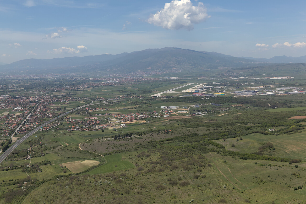
Weather was quite hazy when we left home on the third of May. The flight to our first stop, Skopje, the capital of North Macedonia, was rather uneventful but visibility was poor and there was not much to see.
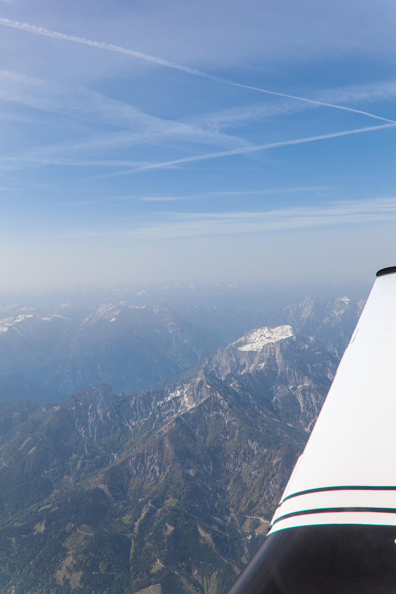
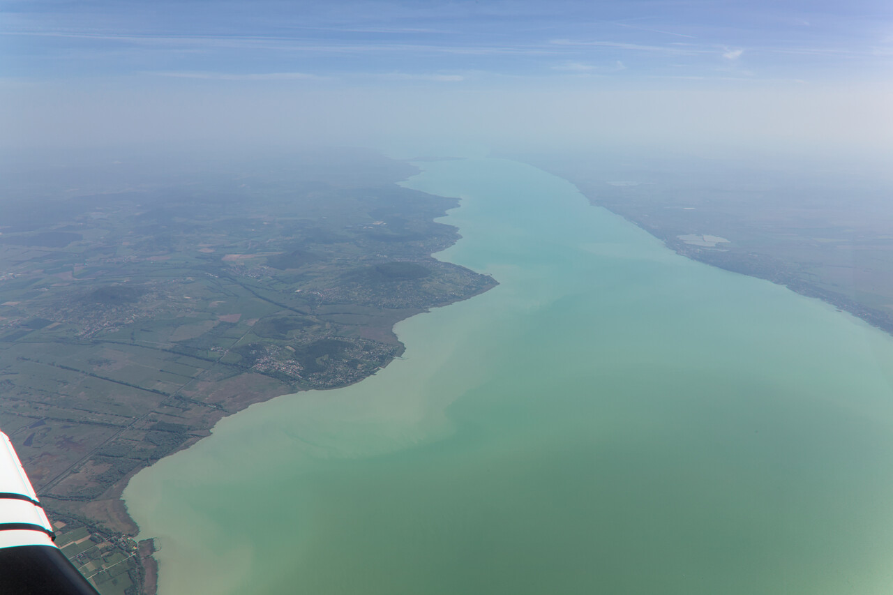
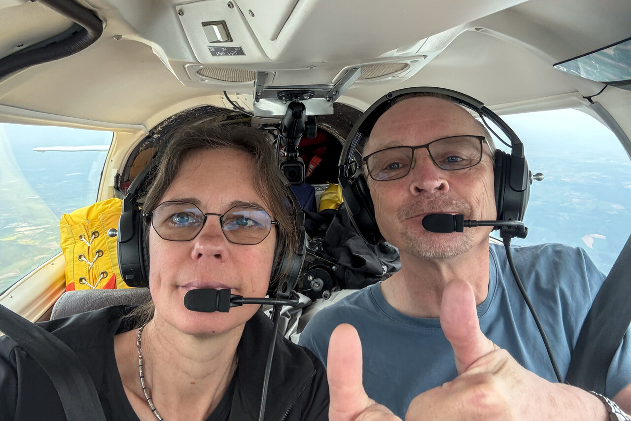
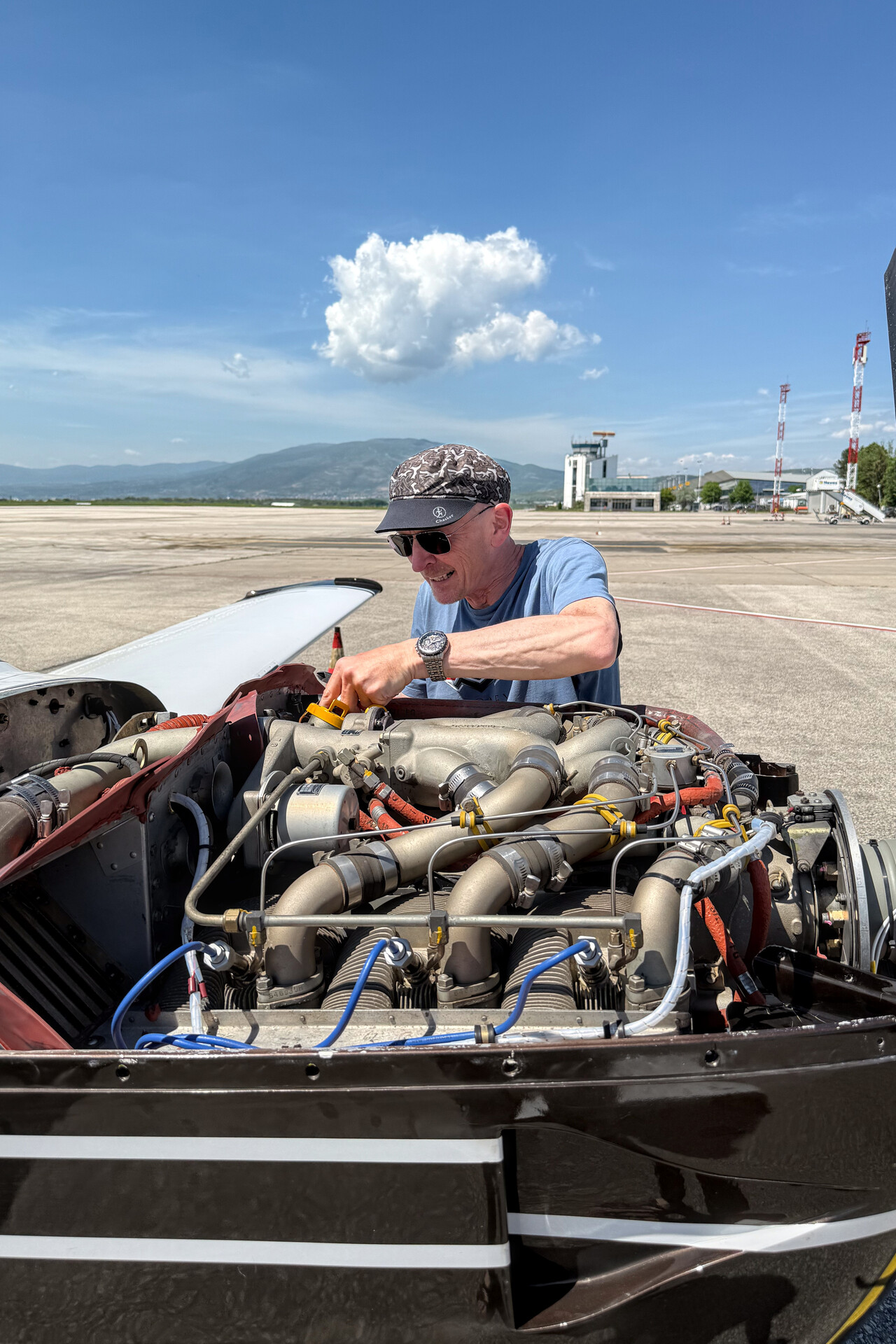
However, while we were cruising along over Serbia, the oil temperature indication on the engine monitor went crazy. As the values were all over the place between 100F and what would be normal for the conditions (about 180F), we were sure it was just a broken wire and not a serious problem, but nevertheless this drove me completely nuts for a few minutes. I had tried to do everything possible to maintain this plane to best standard one could imagine and we had prepared this trip for months. And now there was technical problem on the first leg! After a while I said to myself, just fix it and get over it.
We removed the upper cowling once we had refueled in Skopje and in fact I was able to find and fix the oil temperature issue in a couple of minutes. As expected, it was just a broken wire at one of these overlap clamps the manufacturer of our engine monitor, E.I. uses.
One more problem had occurred, albeit not critical it was a bit of a nuisance: one of the action cams we use kept overheating. We had spent quite some effort to optimize the camera setup, so we were a bit annoyed but didn’t have an immediate solution.
We spent the late afternoon and the evening in a nice hotel near the airport which we already knew from previous visits.
Relaxed flight to Heraklion
The leg to Heraklion, LGIR wasn’t terribly long, so we enjoyed a nice breakfast before we took the shuttle to the airport and departed for a beautiful flight all over Greece in the best of weather.
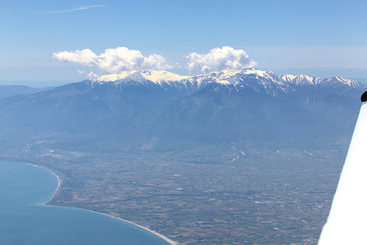
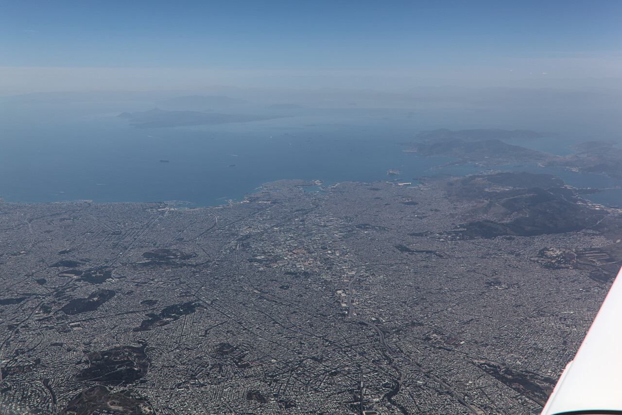
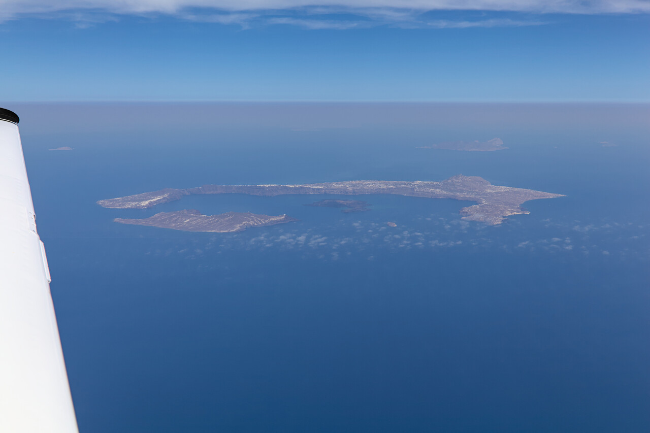
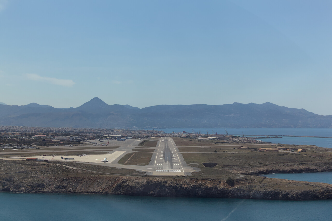
After Heraklion the spreadsheet phase of our journey would begin. We called it like this because from here on we would need landing and overflight permits which are normally only valid for one particular date. To keep track of them we maintained the aforementioned spreadsheet with all the data.
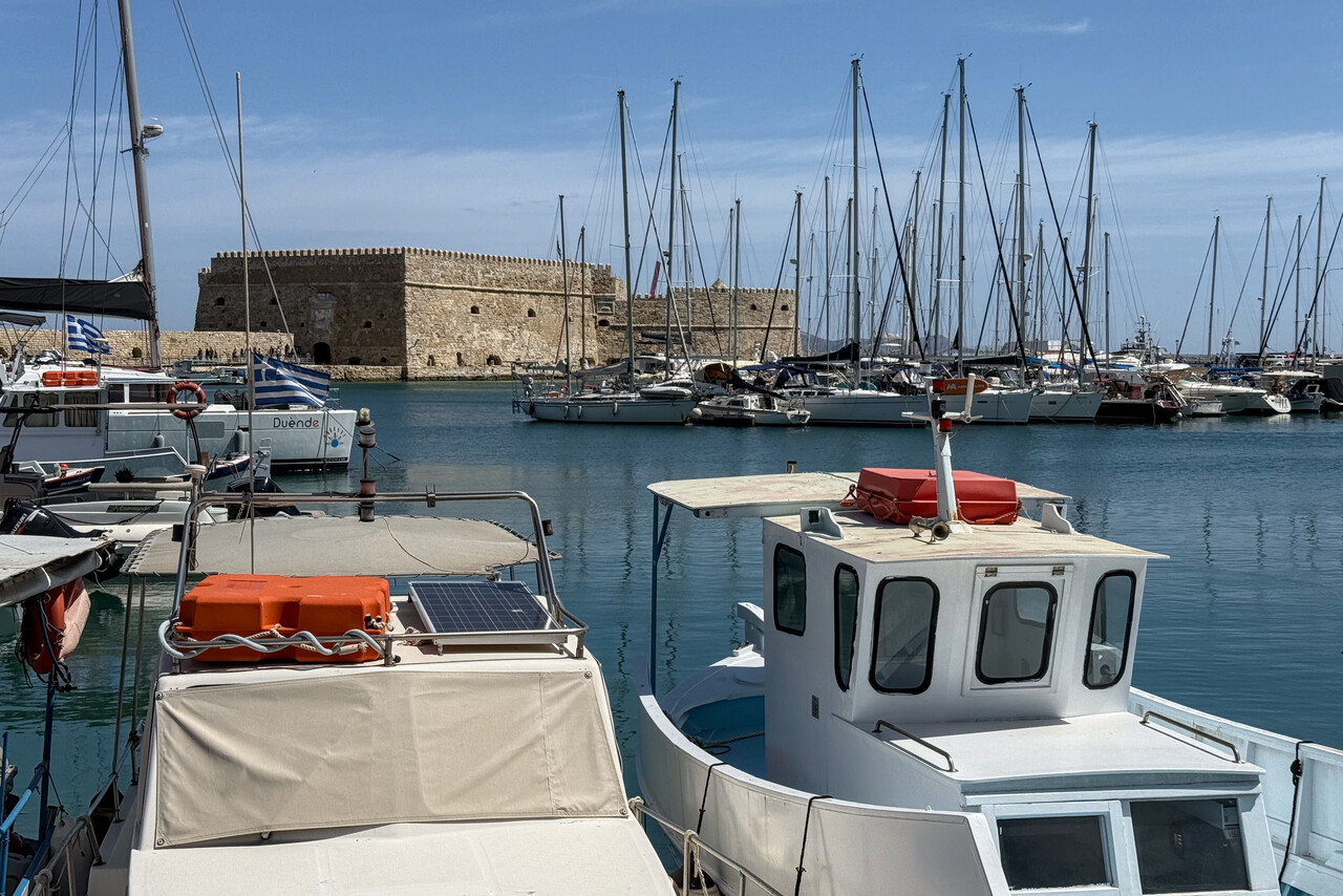
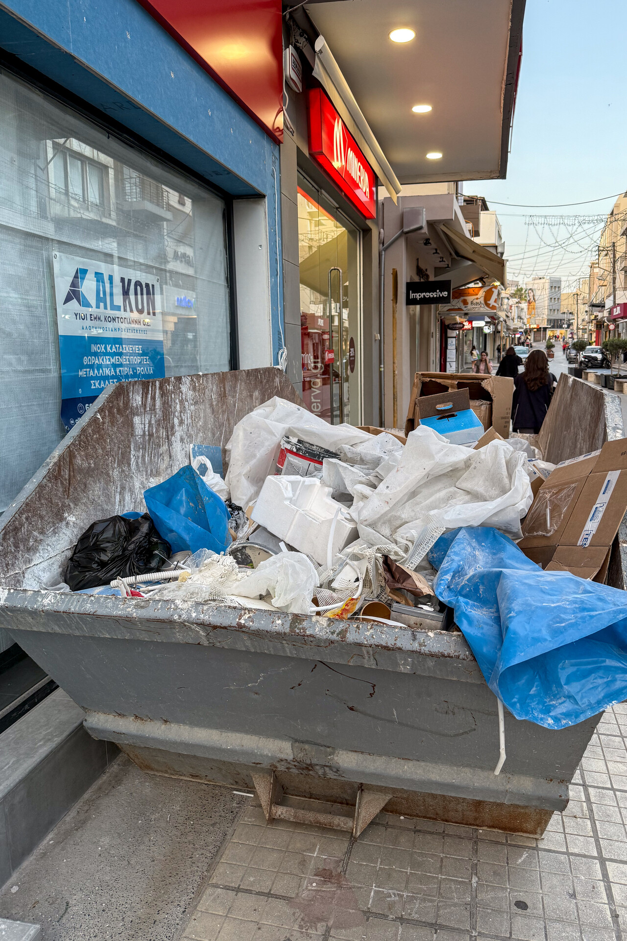
As we wanted to make really sure not to ruin the schedule right from the start, we had planned two nights in Heraklion. We had been to Crete several times before, but never visited the capital. It turned out that the city doesn’t offer too much to see, but there was some exceptionally good food to be found. Moreover, we found a solution for the camera overheating problem – in a waste container full of building rubble.

Covering distance: To India
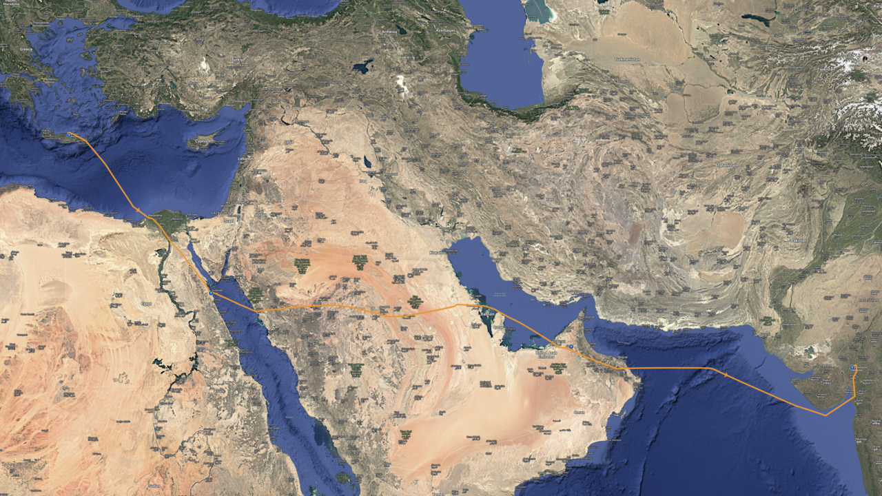
We had been to the six stops that would follow Crete during our trip to Australia either on the way down or on the way home. Therefore we scheduled the flights more tightly than during the last trip. We planned the first non-flying rest day in Ahmedabad, what meant there would be three days with long flights back to back. As we were a little more self-confident now, we also did longer legs this time. The following days were really intense.
Egypt
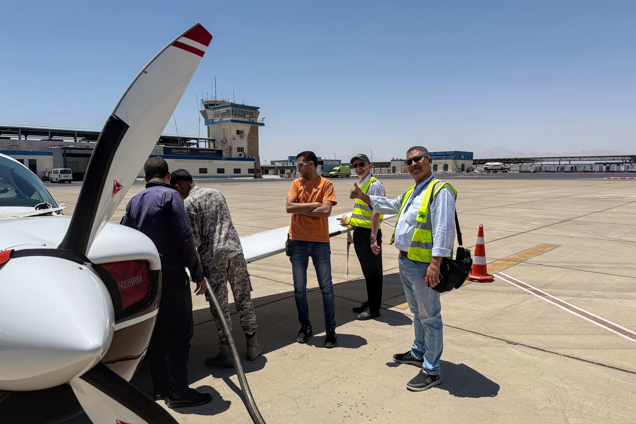
The leg to Hurghada, HEGN wasn’t terribly long, weather was not an issue and Egyptian ATC were really good.
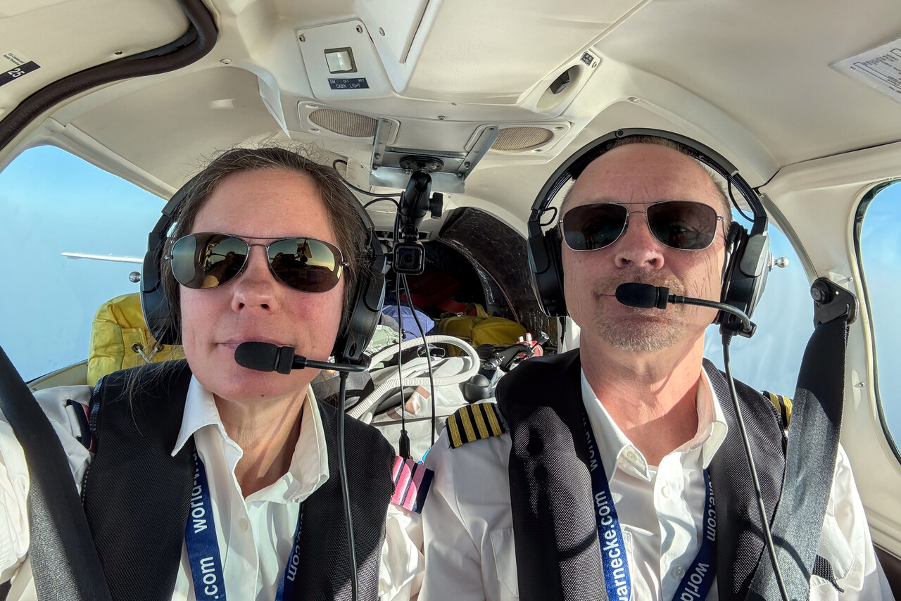
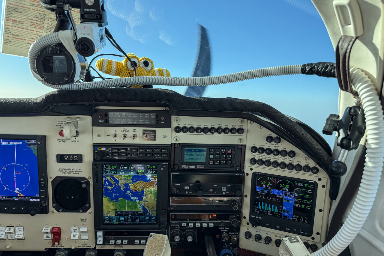
We wore our fantasy uniforms again, Tina even with new very fancy epaulettes. And we could test our new action cam cooler. We had salvaged a piece of hose from the waste container in Heraklion which we connected to an eyeball vent on the co-pilot’s side to direct air towards the camera. Besides the hose a little duct tape and a tie wrap was all we needed. It worked perfectly.
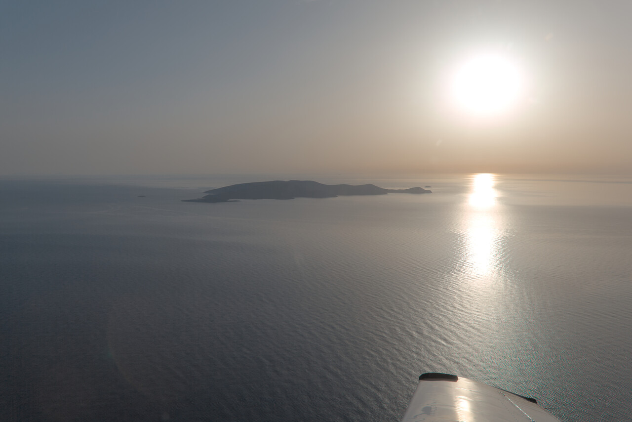
The flight was uneventful except for a GPS outage near Cairo due to jamming. We were on vectors at that time, so it was not an issue. I don’t know if they give you vectors because they know about the problem or if this was by coincidence. Anyway, we got a nice routing that provided some spectacular views.
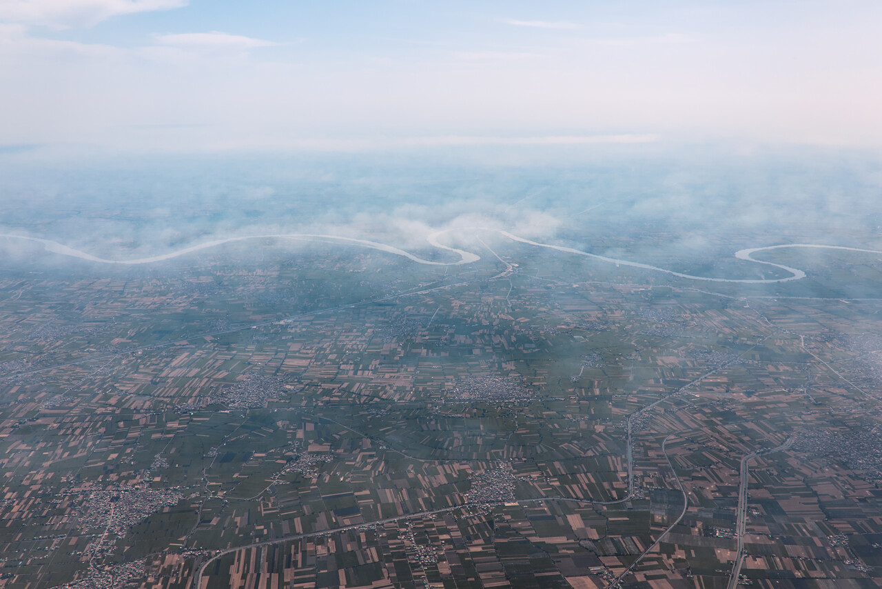
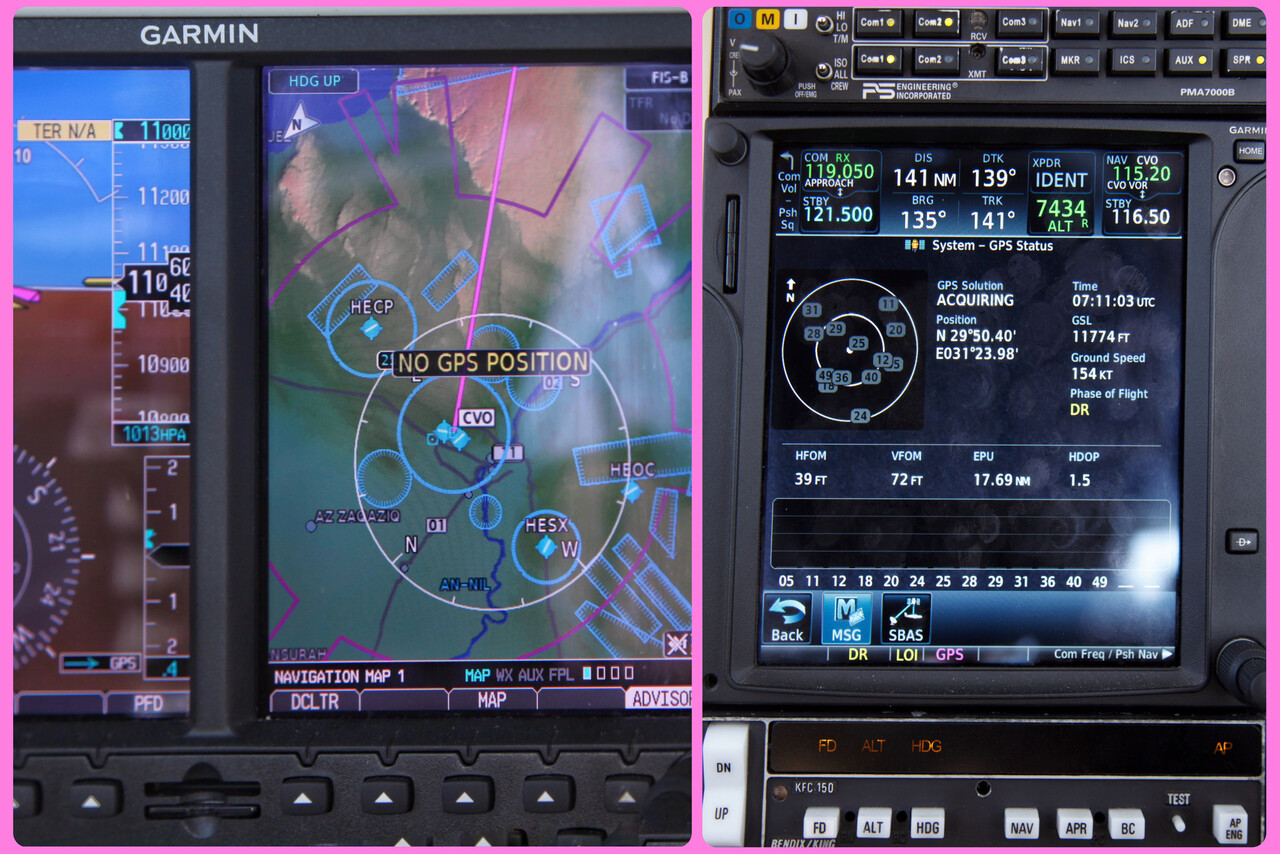
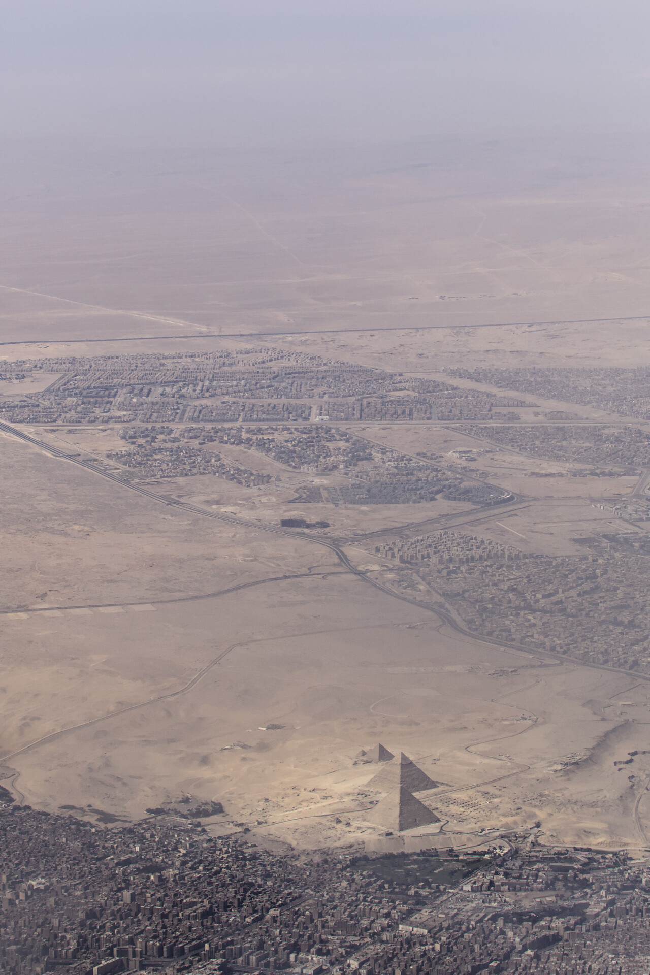
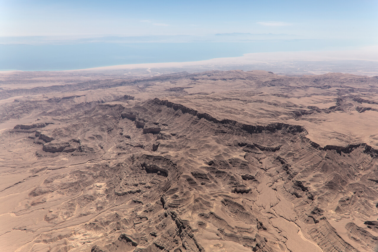
ATC rushed our approach a bit, but Hurghada is a really busy place. We asked for a visual which was granted and the controller sent us to what we thought would be a long downwind. He rather suddenly decided to squeeze us between two airliners and asked for a short approach what surprised us a bit, but all worked out fine.
Handling was also a pleasant experience (except for the price), the Avgas truck arrived in no time and getting us landside and to our hotel didn’t take too long either.
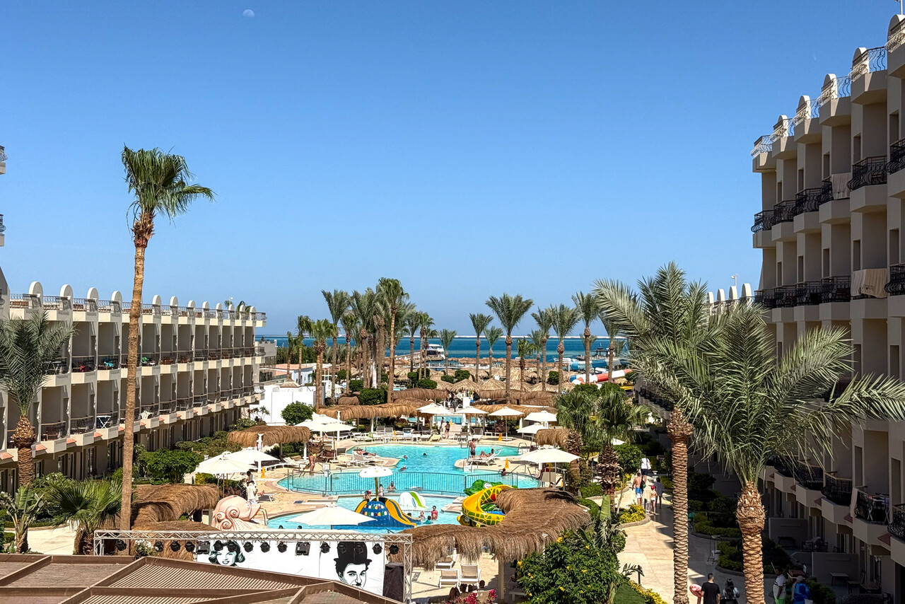
Unfortunately, the only kind of accommodation that can be found reasonably close to the airport are all-inclusive resorts. We opted for the closest one with passable reviews but found it terrible. Anyway, it was good enough for one night.
A few days before, Huthi terrorists had successfully launched a missile attack on Tel Aviv’s airport and the flight path of that missile must have crossed our intended route for the next day. There was talk about airspace closures that didn’t happen in the end, but we weren’t too relaxed that evening.
Across Saudi Arabia to the Emirates
The next leg to Al Ain, OMAL was 1191NM long (as direct flight), so we planned for an early departure. When we got up at half past three local time, we found a message that the flight plan we had filed in the evening was rejected by Qatar. I had made sure to plan along airways at legal levels throughout the flight. Nevertheless, Qatar decided that the route was not available. At least they came up with an alternative inside their FIR. However, this didn’t connect to any airway outside Qatar. I quickly hacked together a new route with their hints and some directs, but this also required some route changes in Saudi Arabia. The new flight plan didn’t get rejected immediately but we already felt somewhat stressed out when we got picked up at our resort before dawn. The weather forecast for Al Ain — 17 knots wind, gusting 27 knots right across the runway and blowing dust — didn’t do much to calm us down.
Handling at HEGN worked fine again and after a bit of waiting for the customs officer and the transfer bus, we were dropped at our Mooney’s stand. There wasn’t too much traffic that early, so we were airborne shortly after sunrise.
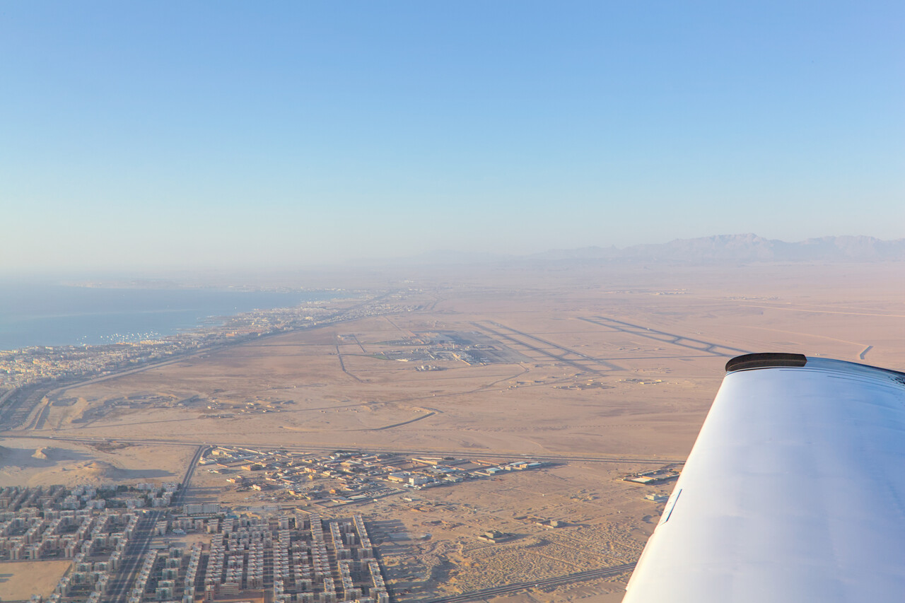
All was fine for a while and we flew our flight planned route. Even at FL170 radio contact got worse and worse over central Saudi Arabia and ATC had to ask airliners to give relay. They suddenly gave us weird directs to waypoints not on our route, resembling more the route of the rejected flight plan. We were worried that something went completely wrong with the two flight plans but it was impossible to clarify with ATC as we had no direct contact. High over the desert we discussed what we should do but luckily after a few dozens of miles they turned us back towards our route of the active flight plan. We never found out what the reason for this confusion was.
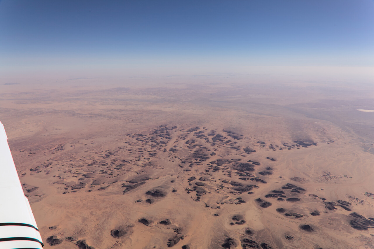
When Saudi ATC handed us over to Bahrain, they first complained that we were not on a standard route toward Qatar but they offered to sort it out. In the end we flew a track that was really close to what I had originally filed – apparently now the route was available again.
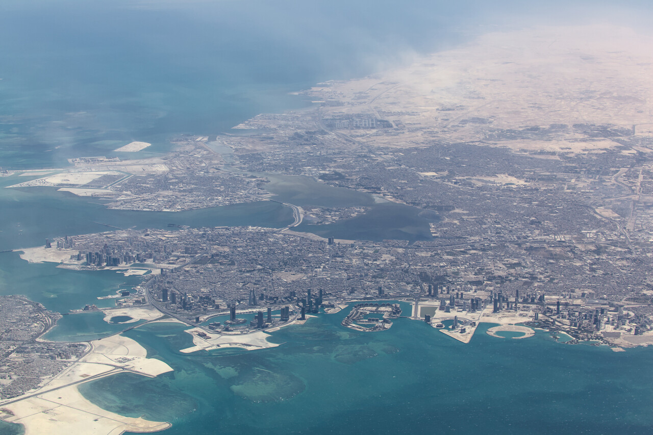
Once we got closer to Al Ain we checked the weather, and in fact they had the blowing dust and the strong crosswind that had been forecast. The approach was a rough ride and the last wind report on short final was 20G25 direct crosswind. In the end all worked fine, we had enough rudder authority and even made a relatively smooth touchdown.
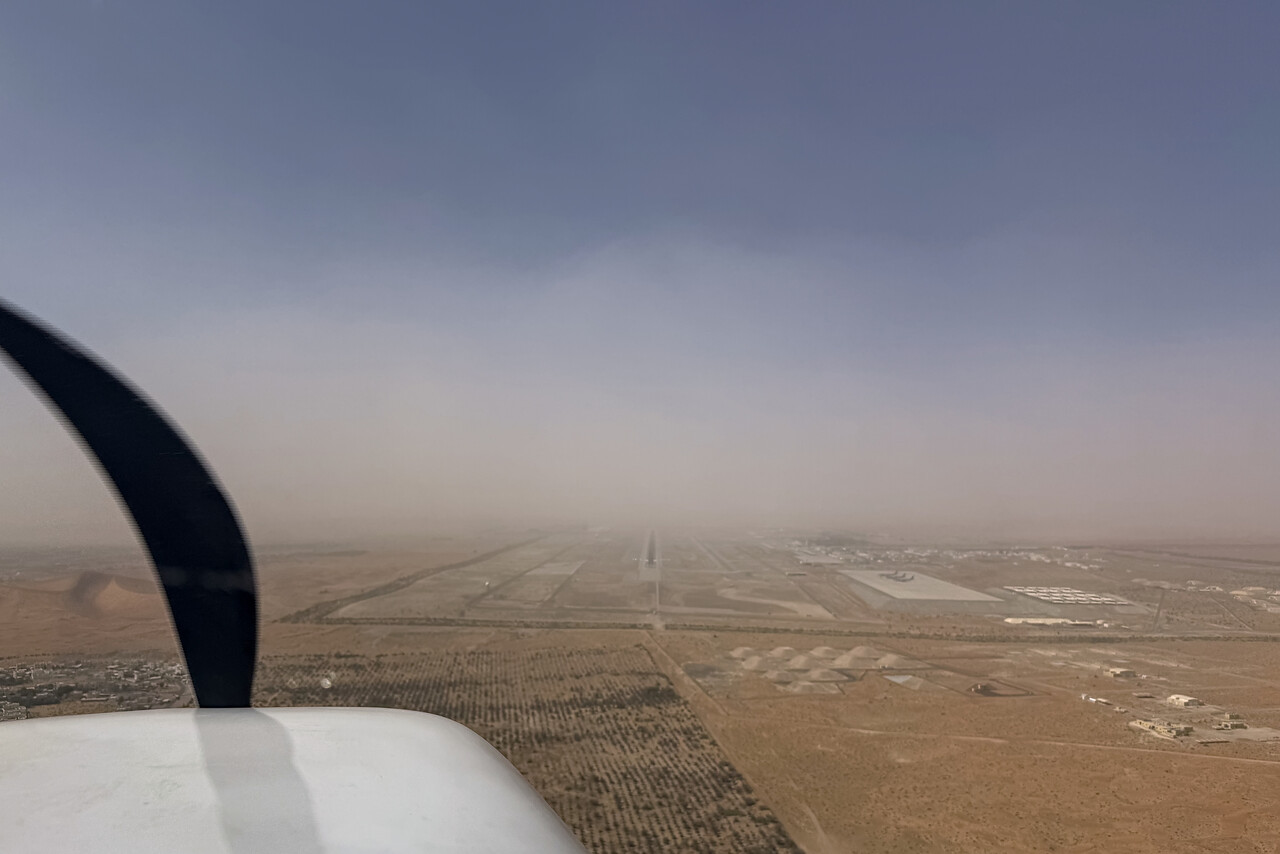
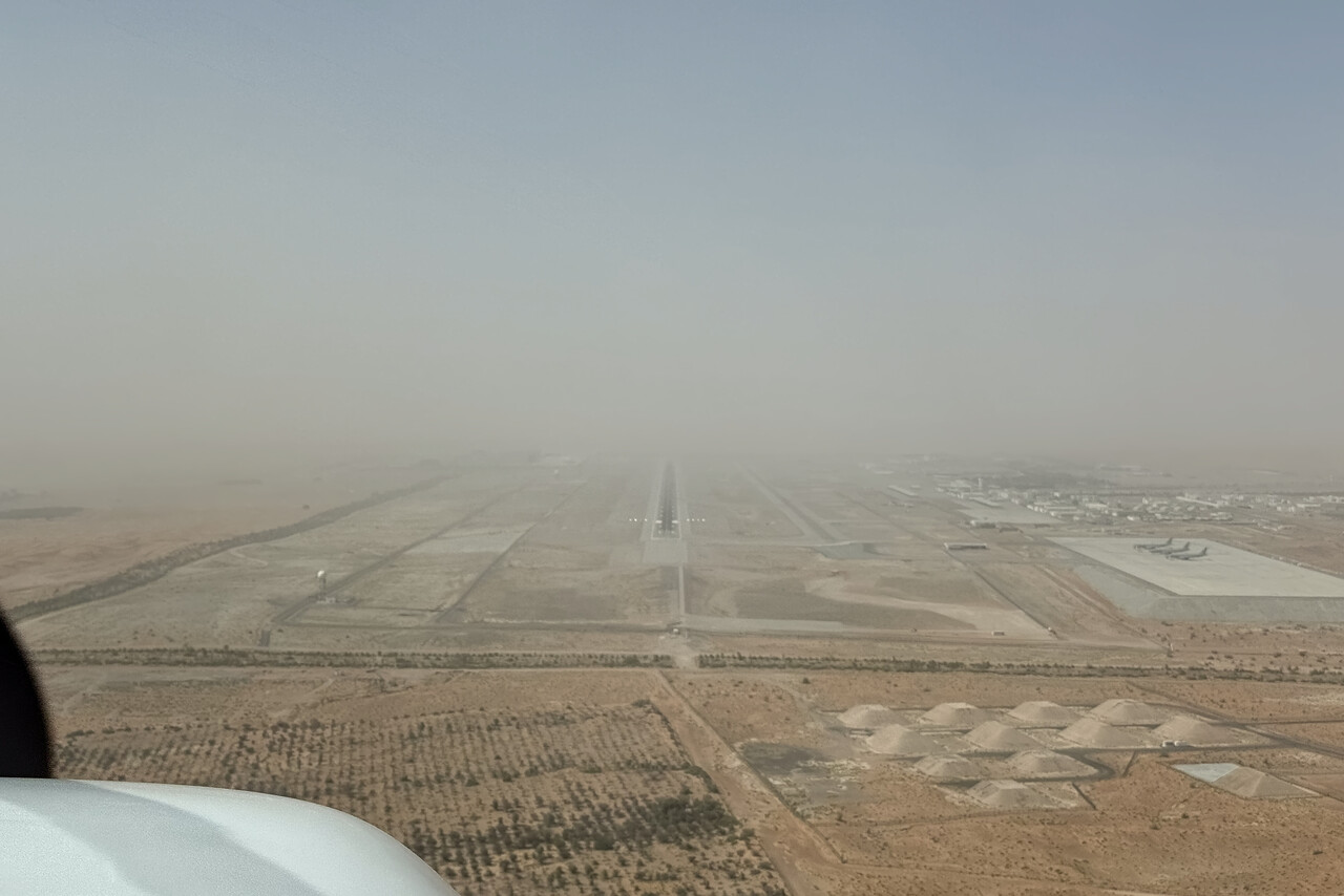
At our stand we were greeted by our handling agent, a really nice guy we knew from our previous visit. We refueled from drums for the first time during this trip and were really glad that we were taken to our hotel quickly after seven and a half strenuous hours in the air. We had our usual flight planning dinner but it was a bit more complicated than usual this time.
Another Indo-Pak war?
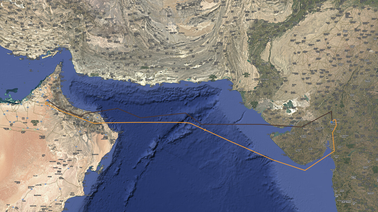
We had planned to fly from Al Ain to Ahmedabad, VAAH via Pakistan and had the permits for that flight all sorted out. However, the day before our flight, India had launched air raids agains Pakistan as a reaction to the terrorist assault on Indian tourists in Kashmir a couple of days earlier. Pakistan had brought down several Indian fighter jets and the two nuclear powers stood at the brink of a full-fledged war. While still in the air, we had received the message that Pakistan had revoked our permit, so we would have to fly over the open water of the Arabian Sea, avoiding Pakistani airspace. Again I quickly hacked a route and we filed it immediately. We finished our beer and went to bed soon after, as the next day would start early again.
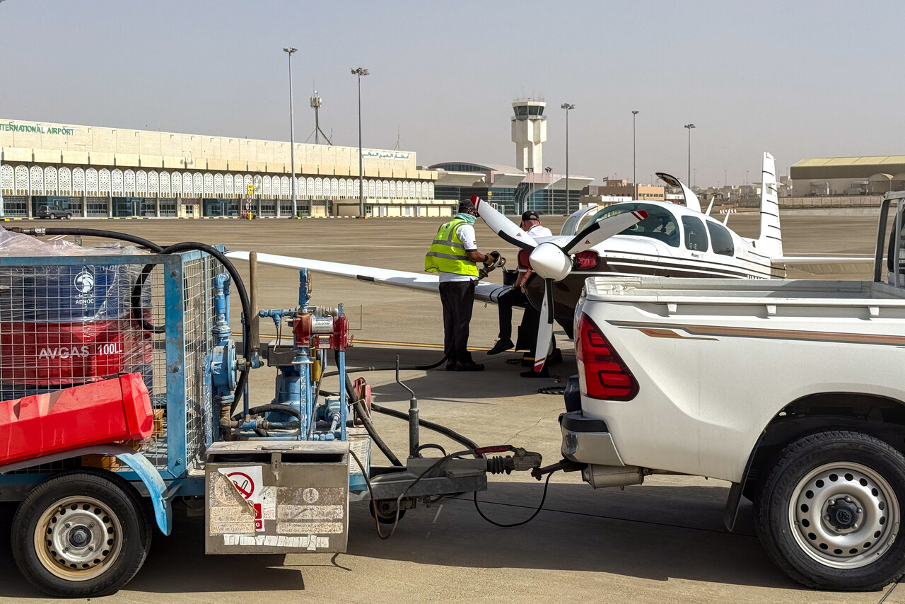
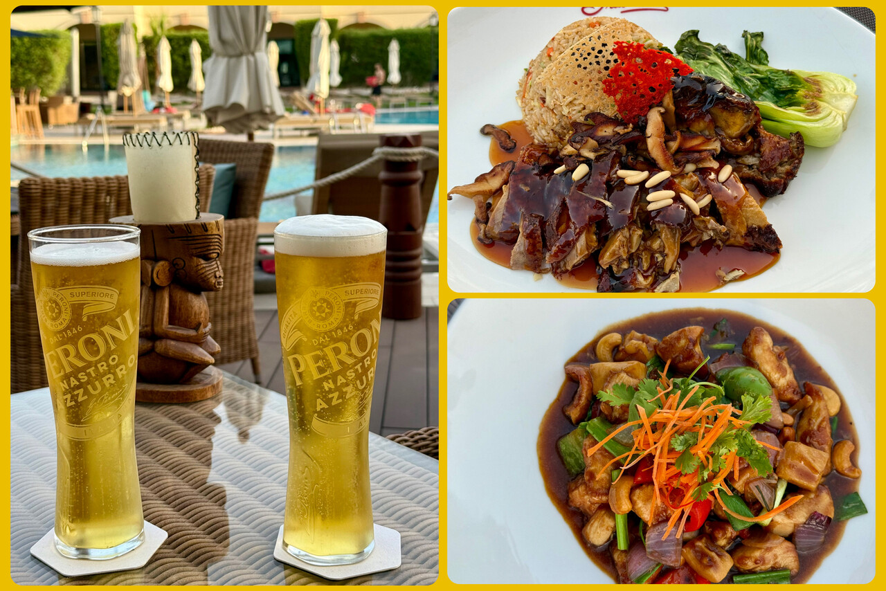
The alarm went off at two thirty in the morning, but of course we had lost an hour again, coming from Egypt. At least there was no reject message, so we were still good to go. We arrived at the sleeping airport in the pitch black night, but security as well as customs and immigration were in a good mood already. They were eager to chat and immediately googled our Mooney. This time we were able to take off before sunrise.
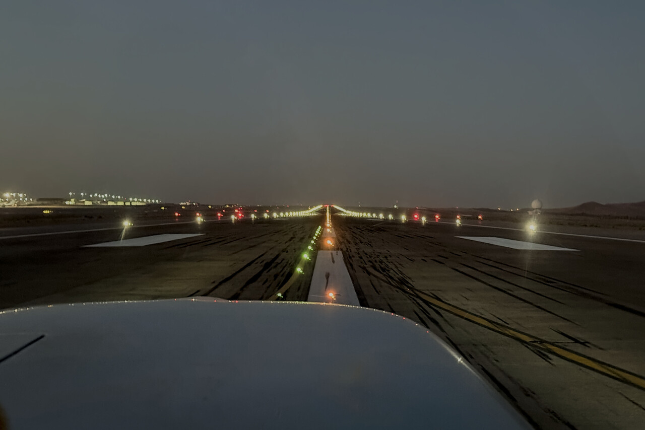
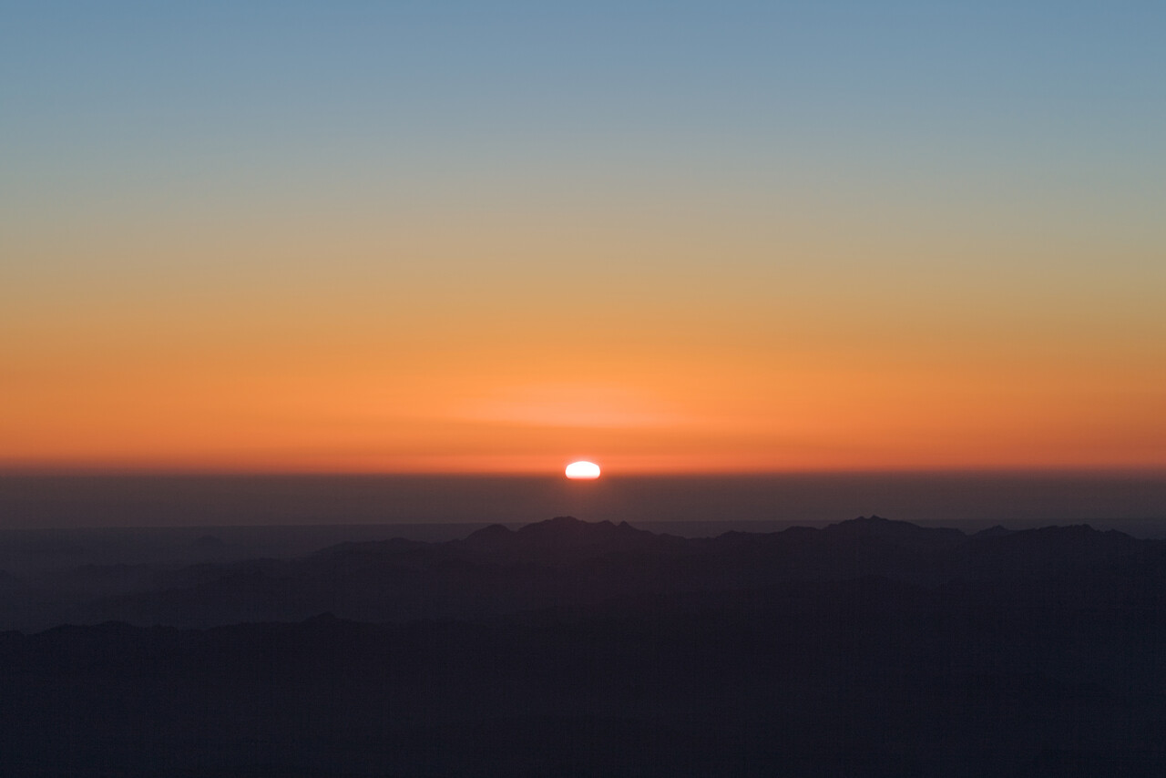
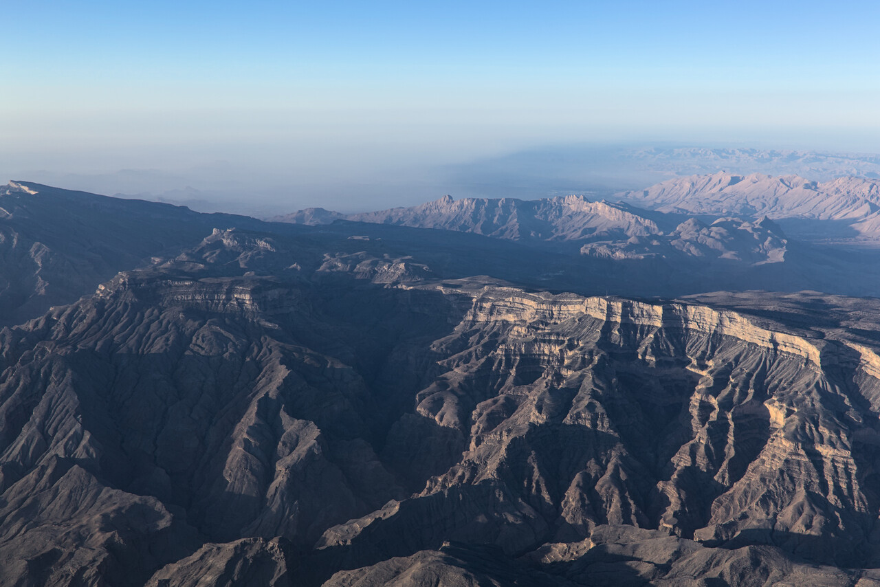
Omani ATC complained about our non-standard route too, probably I got something wrong but again they said we should just continue, they would sort things out.
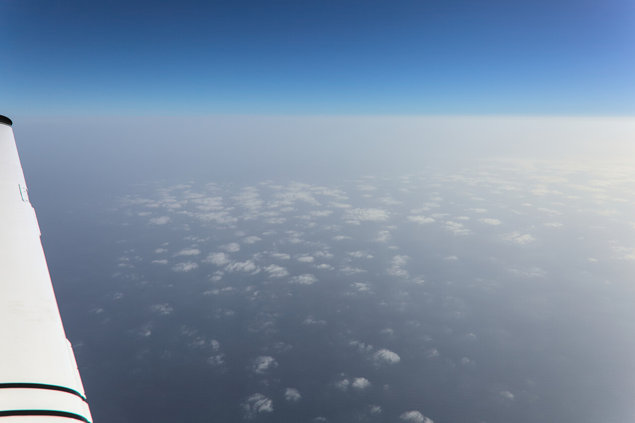
Contact to Omani ATC was already getting difficult when they called us and said they had a message from Indian ATC: India would not accept us in their airspace, we would have to turn around immediately. We replied that we had a flight plan and a permit for India but the Omanis said they couldn’t help us, they were just relaying the message from Indian ATC. Tina and I discussed briefly and then told Omani ATC that we were unable to return for operational reasons and that we would continue. The Omanis confirmed that they had received our message and gave us approval to leave frequency.
We continued for a couple of minutes and then got called by an airliner on guard giving relay from Indian ATC. We should turn right immediately towards Mumbai, we were told. They also gave us a frequency to monitor. Of course we complied and hoped for not too much trouble. After half an hour or so we got contact to Mumbai and to our surprise everything was back to normal. After a while we complained about the poor routing to Ahmedabad and ATC replied they would give us a better route as soon as possible. In fact they did after a while and no questions were asked thereafter.
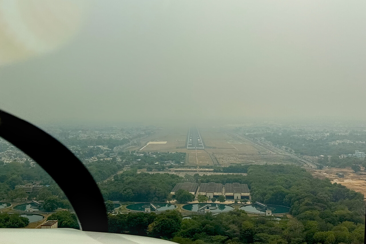
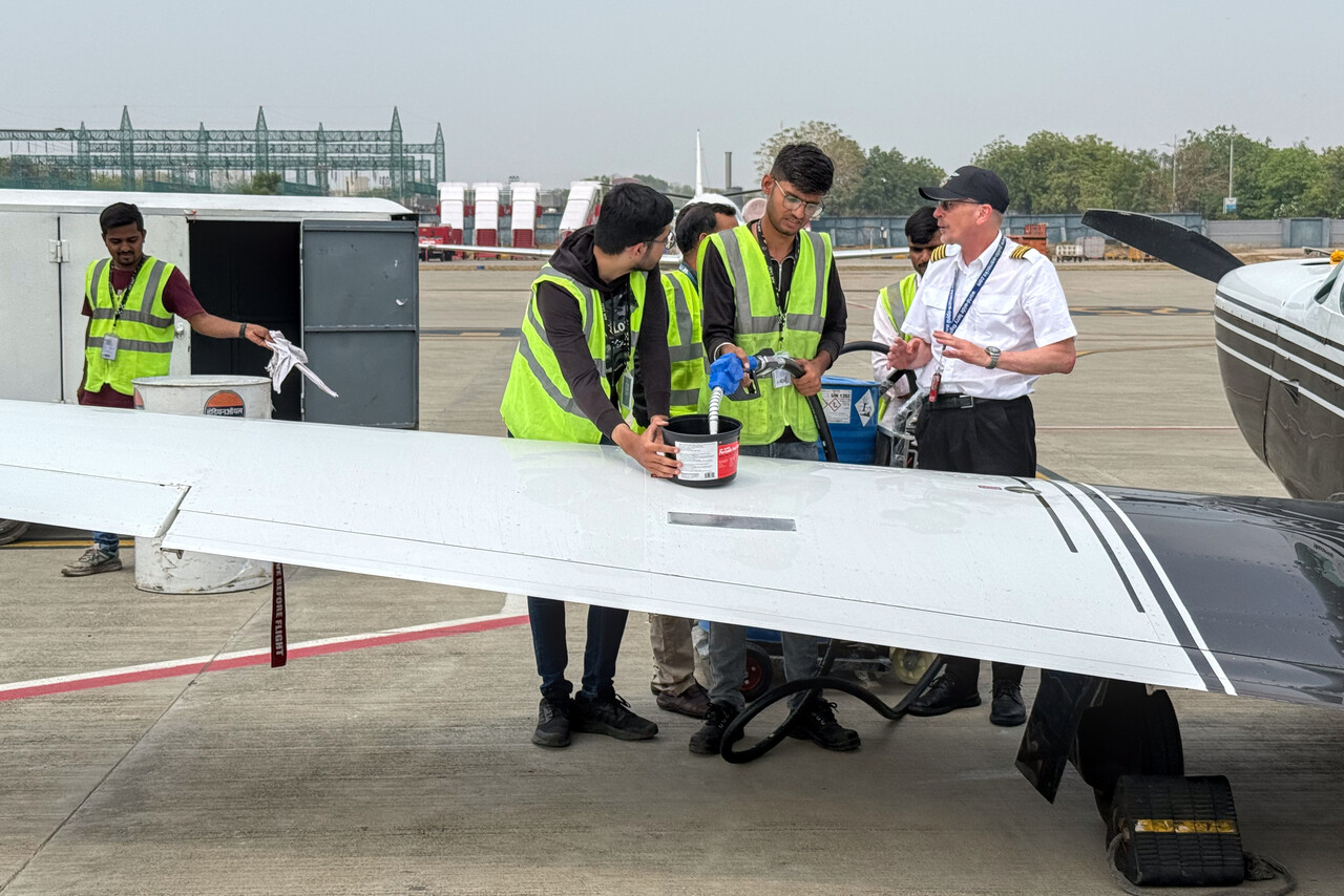
There were no clouds and only light winds when we approached Ahmedabad, but visibility was poor. We landed uneventfully and refueling worked smoothly as well. As bureaucracy in India always tends to be, immigration was a long and tedious process but nothing out of the ordinary. Finally after over seven hours flying and two or three hours at the airport, we could take an Uber to our hotel.
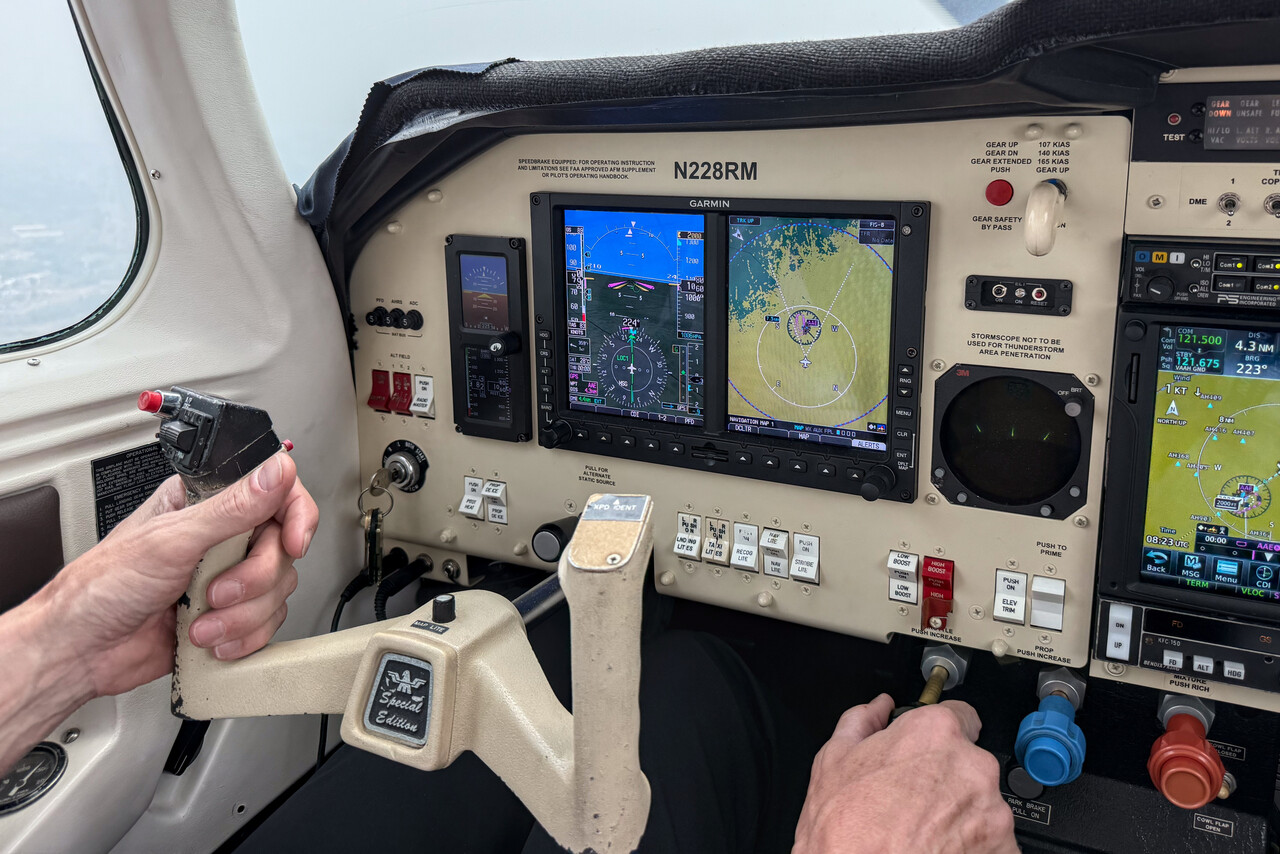
This time we had lost one and a half hours due to the different time zone, so it was already late when we arrived. Just enough time for a shower before dinner. We were really looking forward to a non-flying day.
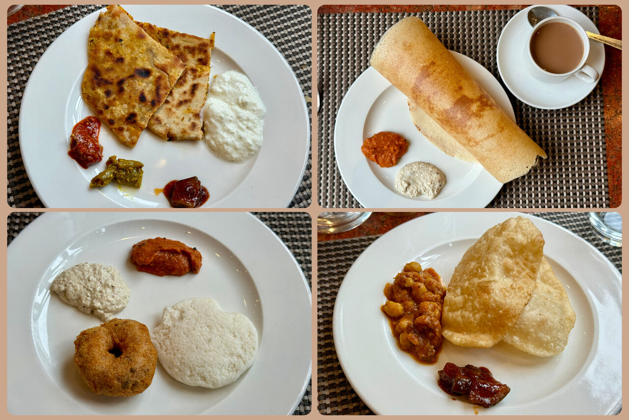
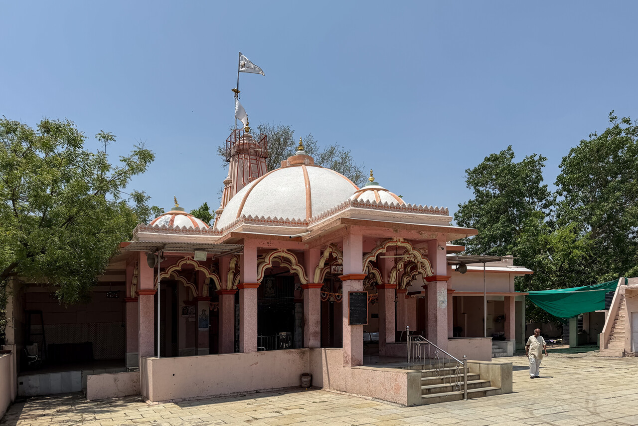
We didn’t do much the following day, just enjoyed a hearty Indian breakfast and strolled around the neighborhood to check out a few temples.
Across the subcontinent: To Southeast Asia
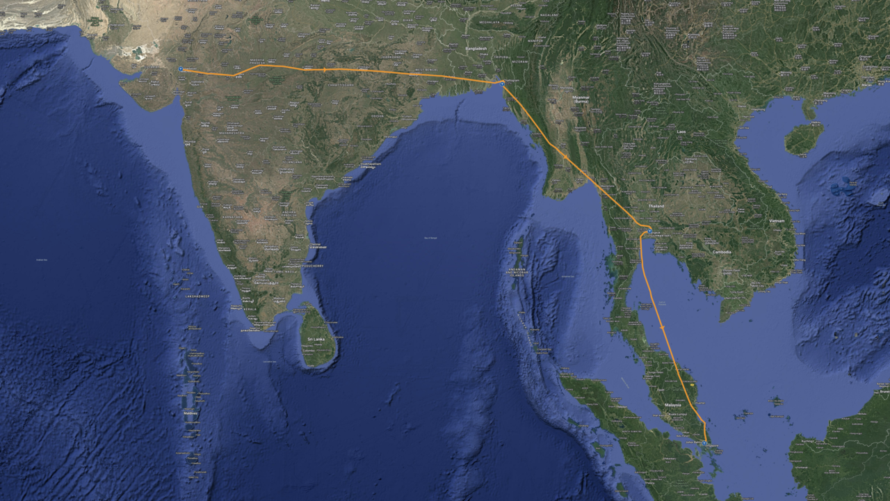
Although the tensions between India and Pakistan hadn’t escalated any further, we were eager to leave this hotbed.
All across India
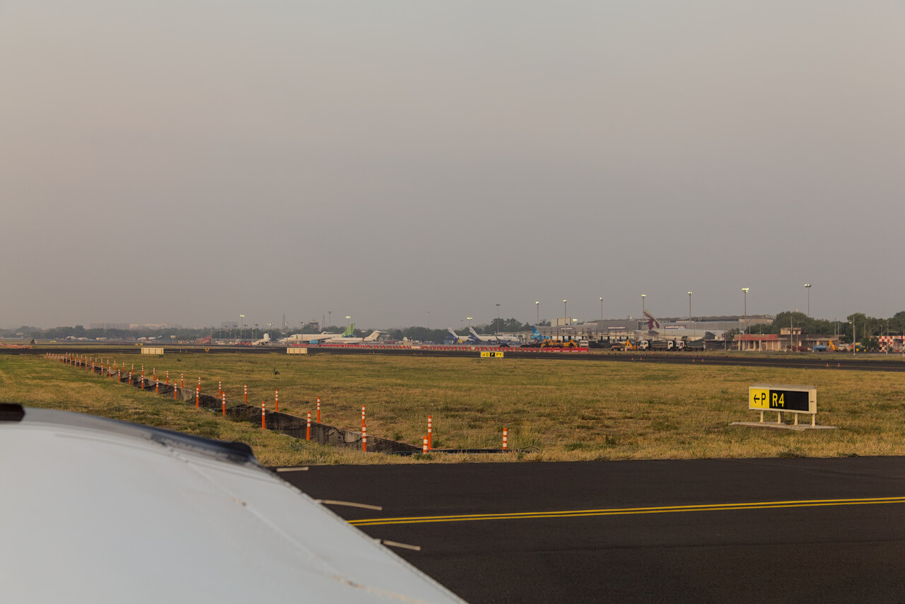
Weather was very convective when we had flown to Ahmedabad, and many airliners asked for deviations that day. We were lucky though, our flight path was clear of clouds. After landing I asked one of the fuel guys if this was an early onset of the monsoon, but he replied, no – just bad weather. Nonetheless we wanted to leave Ahmedabad, VAAH for Chattogram, VGEG as early as possible, just in case there would be more bad weather, so we filed for six local time. We were told that we would have to be at the GA terminal at four, what we were. Nothing happened until five, but then we cleared C&I in five minutes and were at our stand shortly after. We prepared the aircraft and waited for another half hour to request start-up at 5:45 only to be told that we should call our ops, as there was a problem with our flight plan. We already knew that they were talking about our handling agent, so we called them. We learned that root cause of the delay was that the landing fees hadn’t been paid, but somebody was on the way to the tower, so we were told, to settle it. This may appear strange as this process should not be news to the handling people – but this was India! To the greatest surprise of Tina, I guarded my Buddhist calm and only after one more hour and countless phone and RTF calls to our agent and ATC respectively, we received our clearance.
Almost immediately after take-off, our panel mount GPS stopped working. Actually we should have expected this as the border to Pakistan wasn’t too far, but it caught us off guard. It wasn’t a big deal, we asked ATC for vectors and soon after we heard several airliners complaining about the loss of GPS. As usual, our iPads kept working, we were in VMC and we tuned in two suitable VORs quickly, so when ATC asked us if we were able to resume own navigation, we could confirm that.
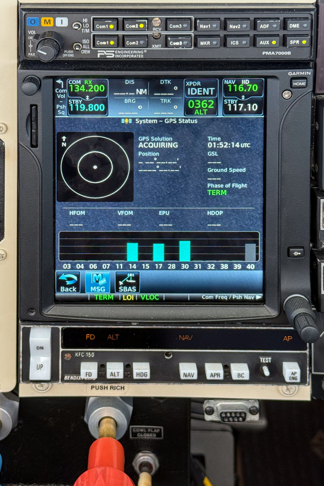
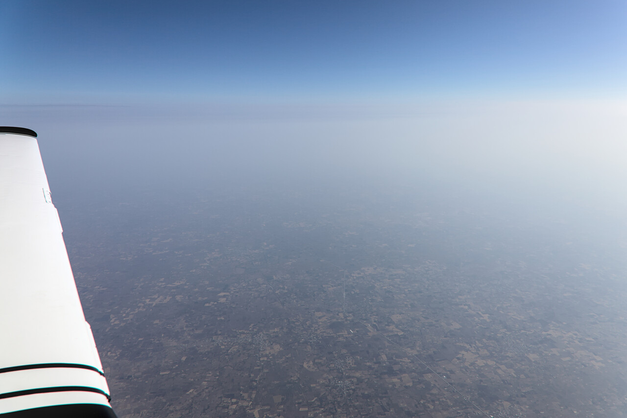
Our 750 regained a fix after a few minutes and the remainder of the flight was completely uneventful. It was very hazy and the tailwind wasn’t as strong as we had hoped for, so it was a long flight once again.
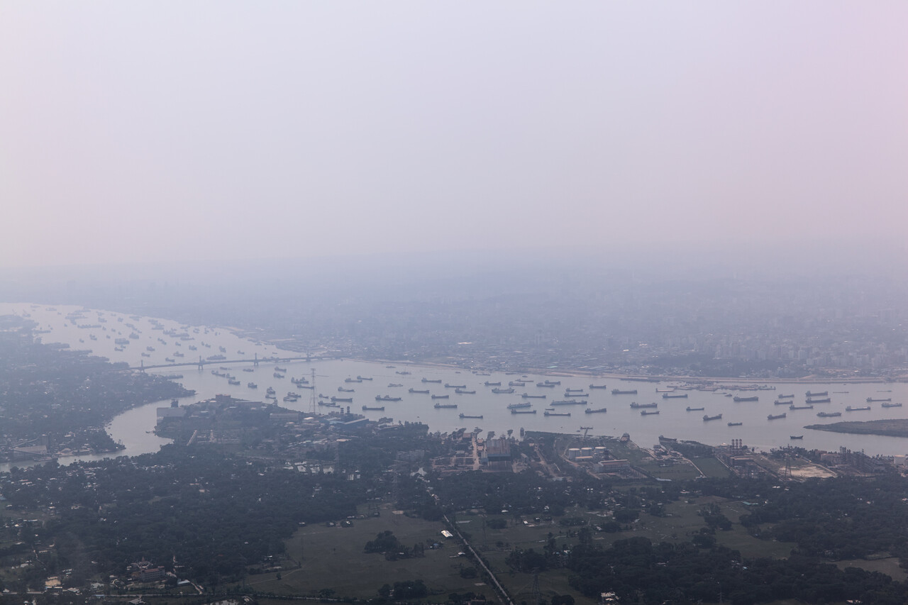
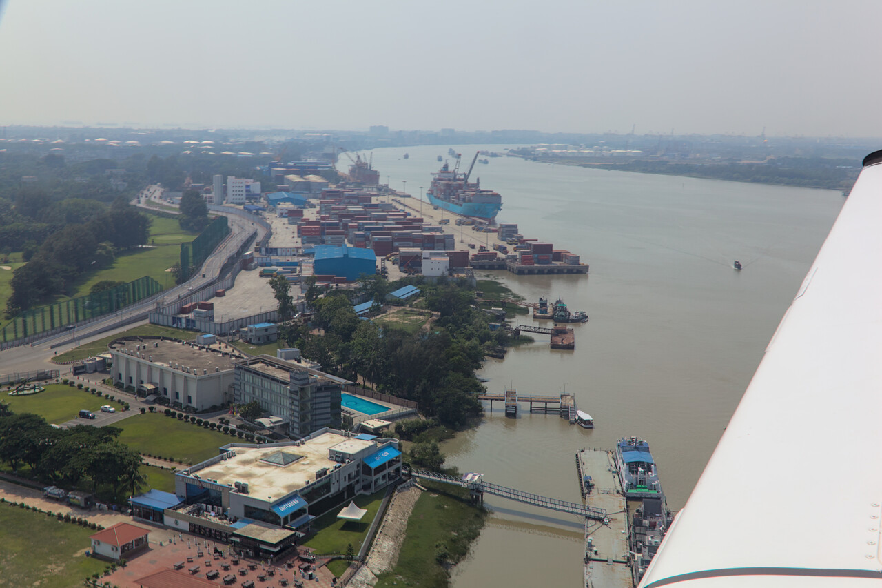
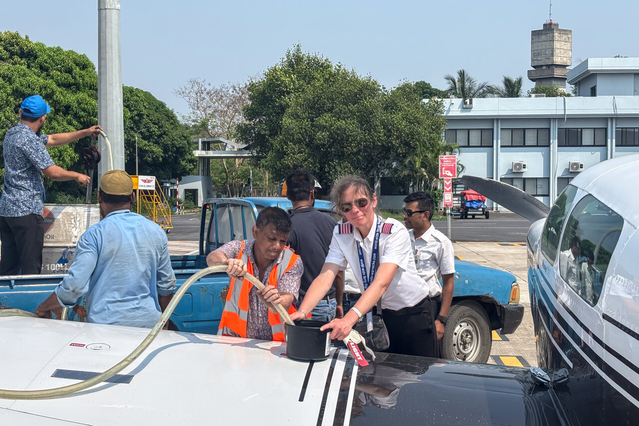
We knew our handling agent at VGEG from our last visit, a really nice and friendly guy. Refueling worked quickly and we were at our hotel an hour after landing.
Spoofing over Myanmar
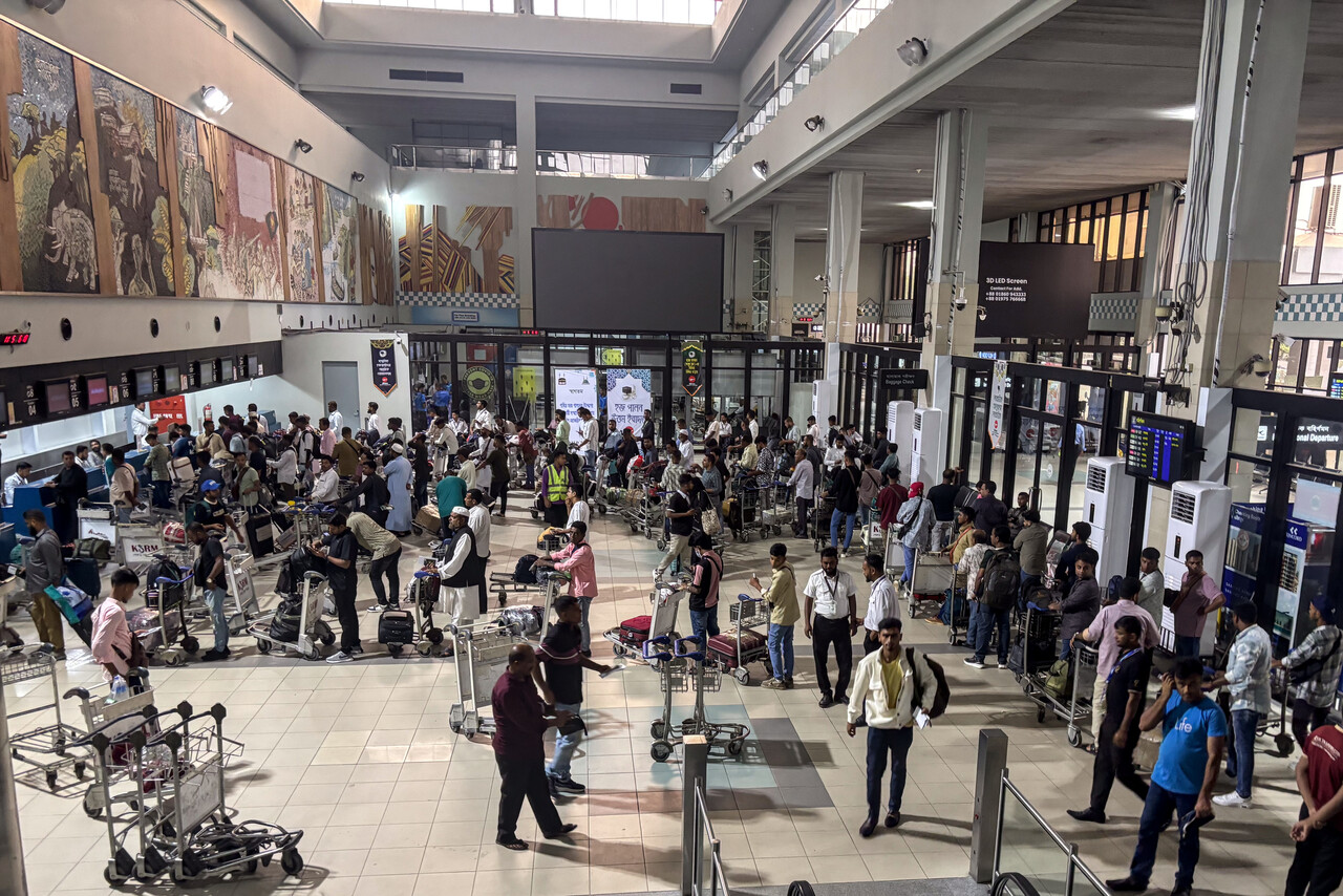
Chattogram airport only opens at seven local time, so we could not depart as early as we would have liked to, but otherwise it was a very good experience once again. Handling was quick and friendly as was everybody at the airport.
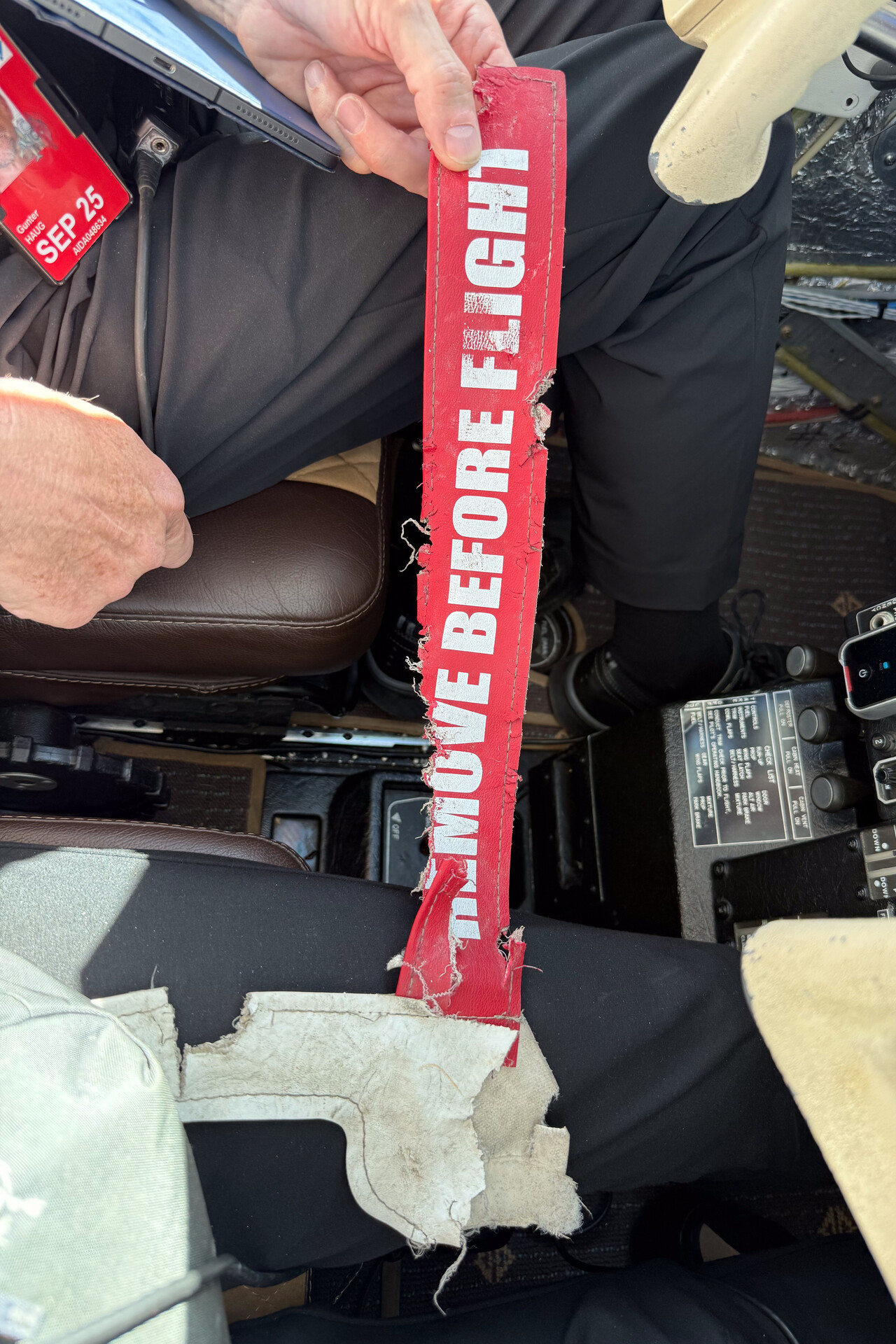
Once we arrived at RM’s stand, we found the pitot cover missing. Our handling agent guessed that stray dogs took it as a toy in the night and in fact we found it in very poor shape, not too far away. I asked myself why street dogs would roam the ramp of an airport in the first place but on the other hand everything had worked so nicely here, so I couldn’t be upset.
It was a very hazy morning once again when we departed for Bangkok, VTBD. We received our clearance promptly and were airborne shortly after.
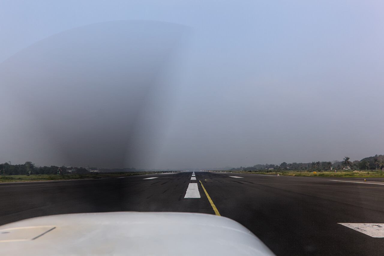
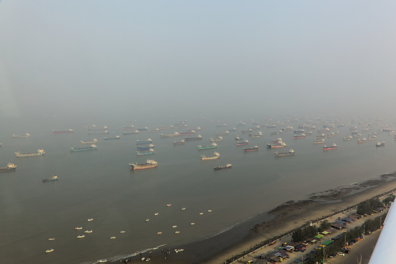
It takes only half an hour to reach Myanmar from Chattogram, and from our overflight last year we knew that GPS was about to fail shortly after overflying the border. Sure enough, our 750 lost its fix as we had expected but we were prepared: we had already tuned two VORs that would allow us to follow our filed route.
After a while we fell victim to GPS spoofing for the very first time. At least our panel mount GPS and one of our mobile devices did. Our iPhones and iPads are current or one generation old and while the iPhones and one iPad appeared to be immune, the other iPad and the 750 displayed our position way to the east.
Interestingly, Iridium didn’t work either. We tried to download the weather with our ADL device but it didn’t work for hours. Of course there is no weather radar coverage over Myanmar, but the METARs along the way and infrared would have been nice.
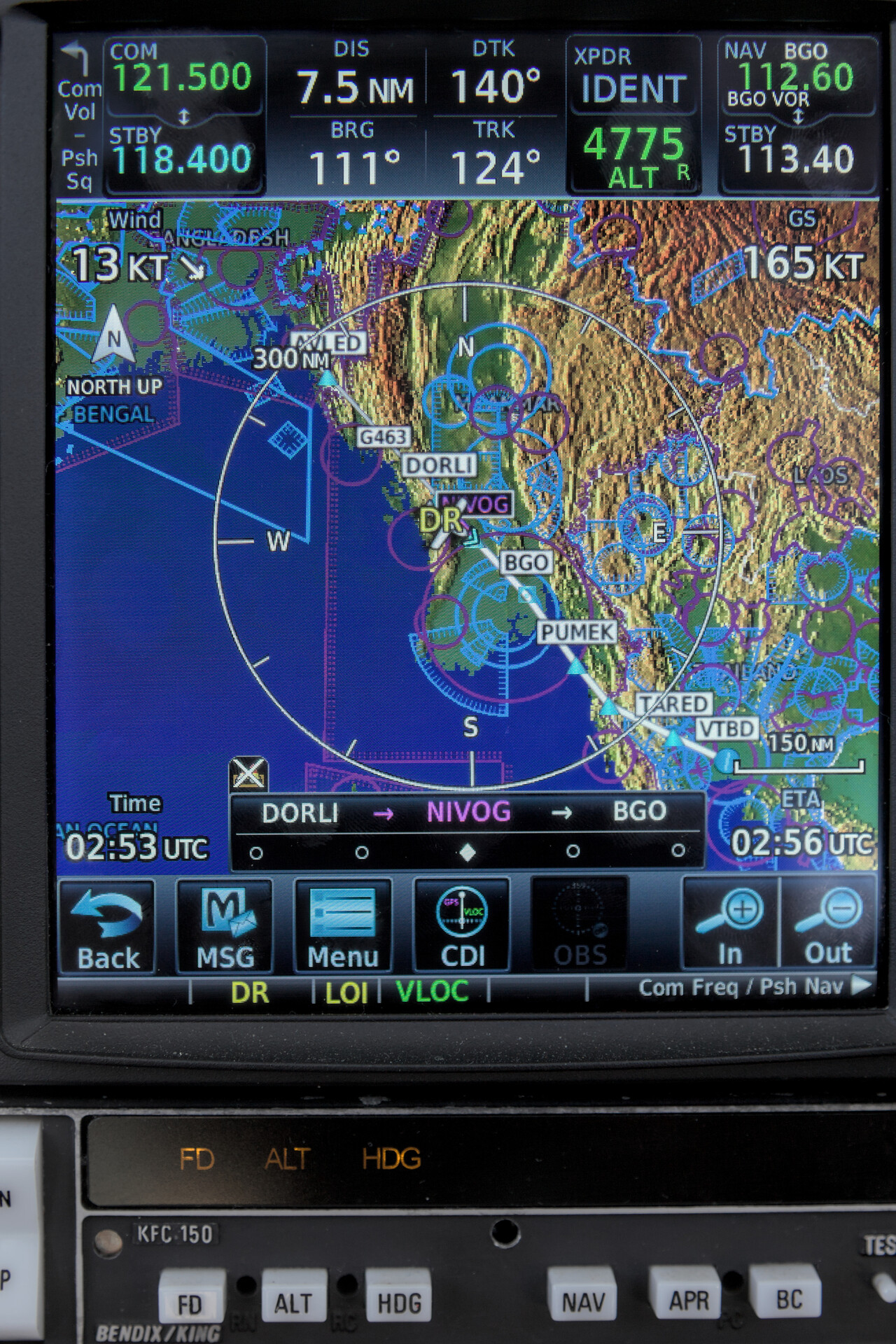
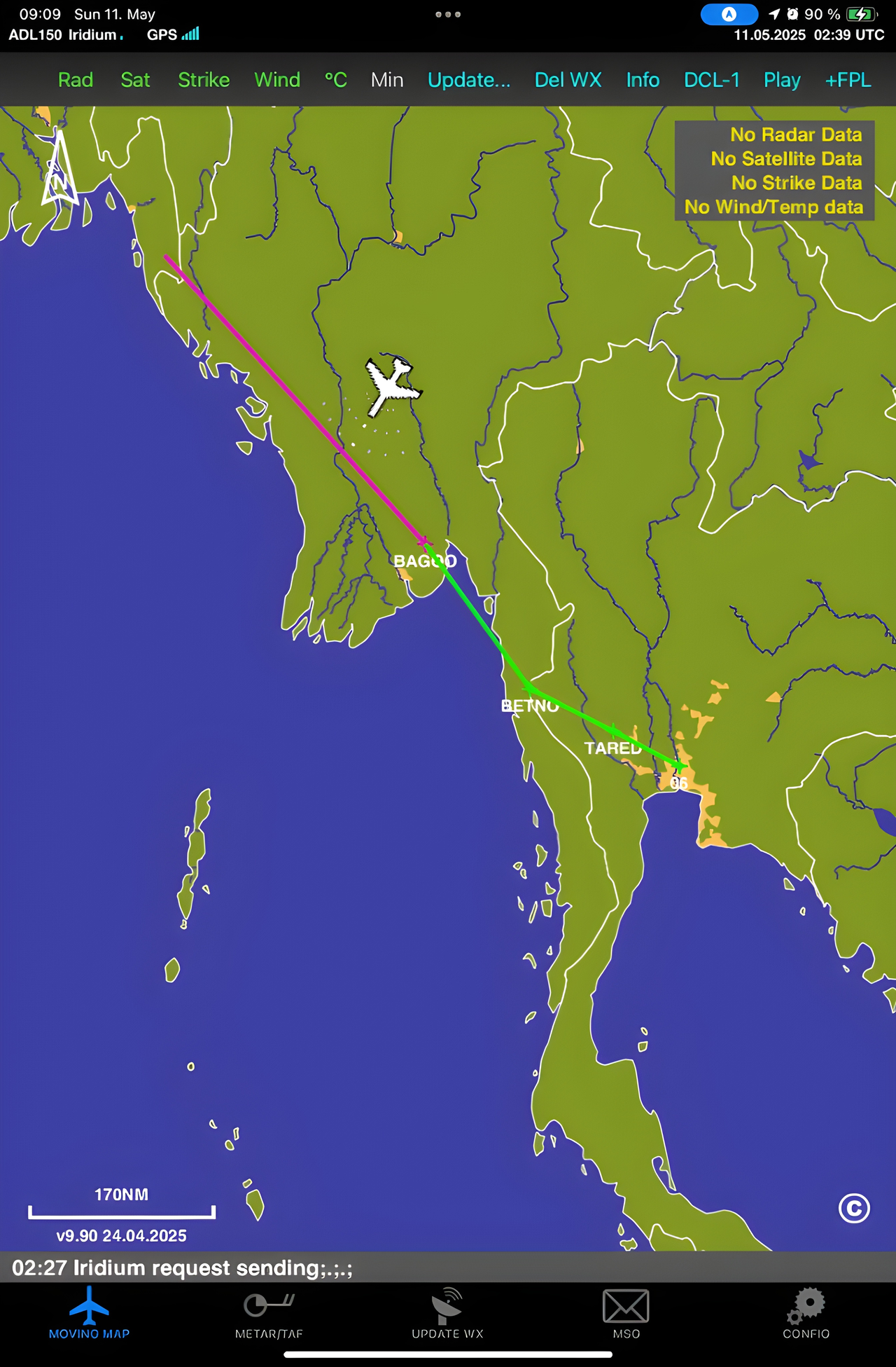
Radio communication with ATC was difficult, even though we weren’t that low at FL170. We didn’t care much in the beginning, but after a while build-ups began to rise. It was only via relay that we could talk to ATC, but we could get approval for all deviations we requested.
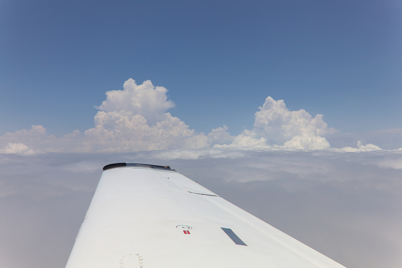
We were well over Thailand when we finally regained a GPS fix. Thai ATC were as excellent as we remembered it from our last visit. They vectored us to final approach and managed to squeeze us between heavy aircraft without any fuzz. I did my best to keep airspeed above 140 until three miles final.
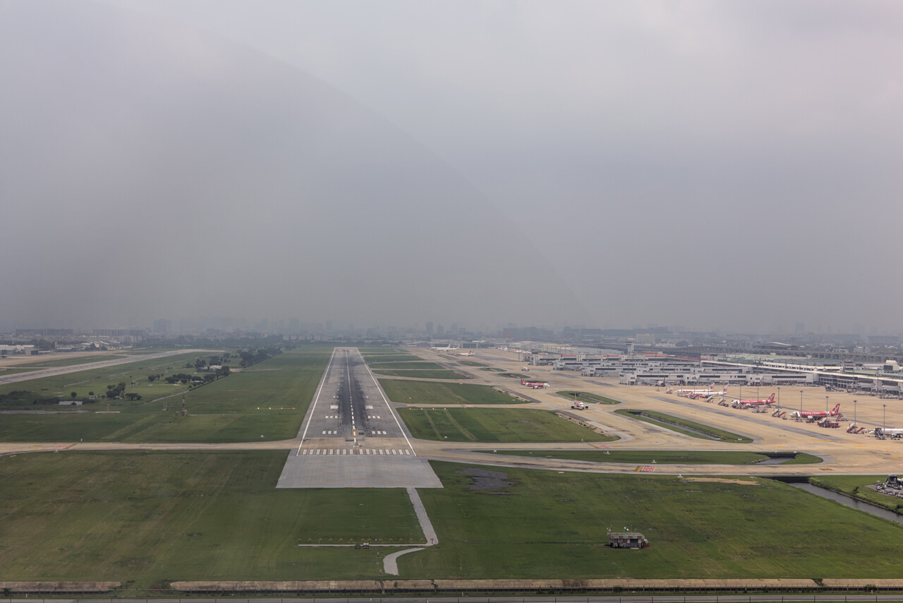
Two nights in Bangkok
Bangkok is an expensive place for small GA but service was immaculate. While we refueled our plane, somebody cleared immigration for us so we could just walk past the counter once we were in the GA terminal.
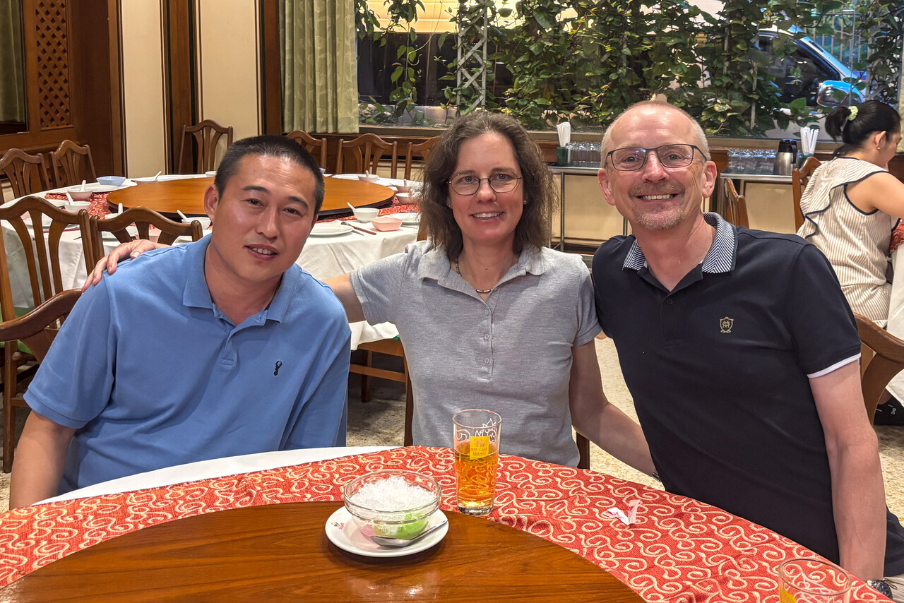
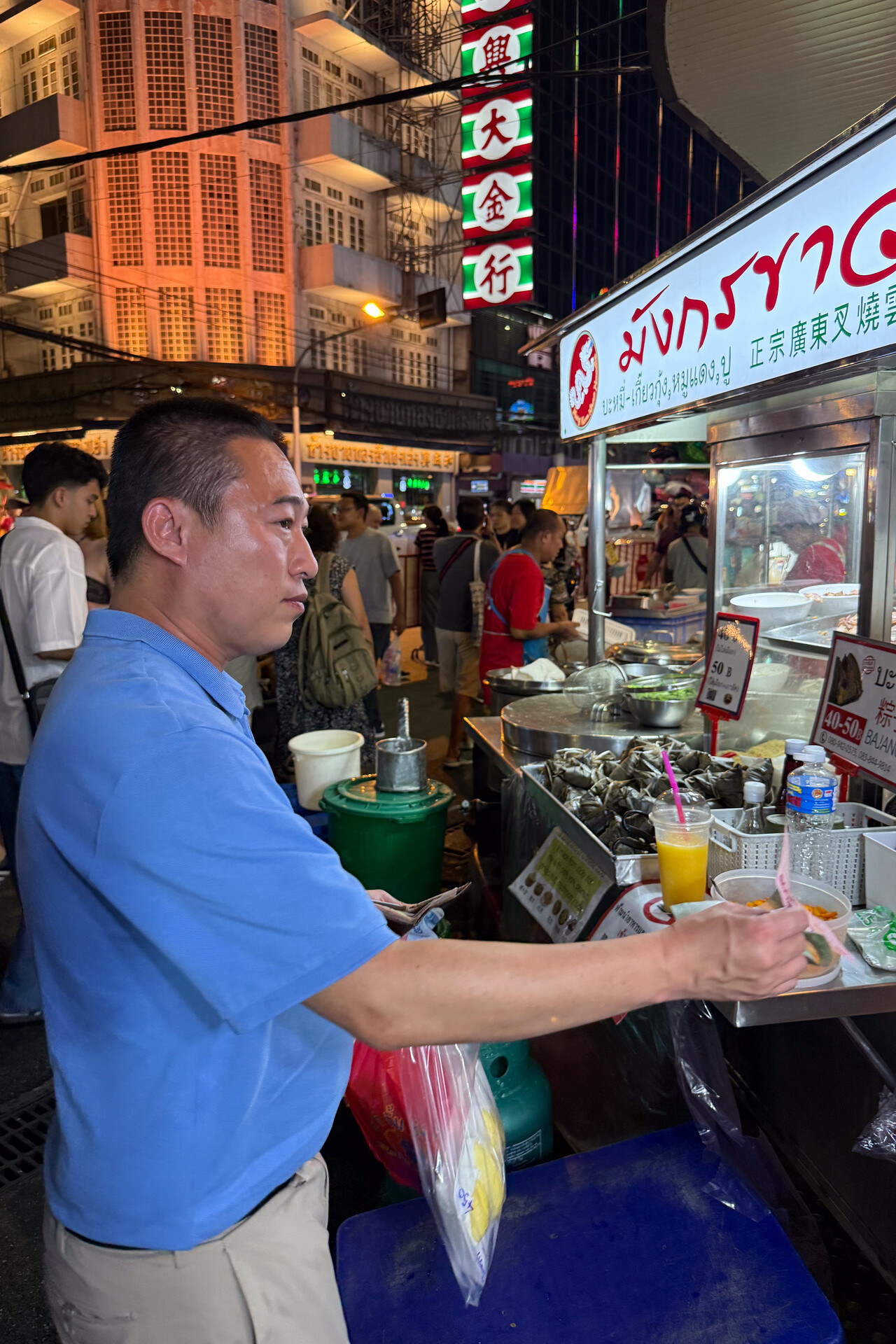
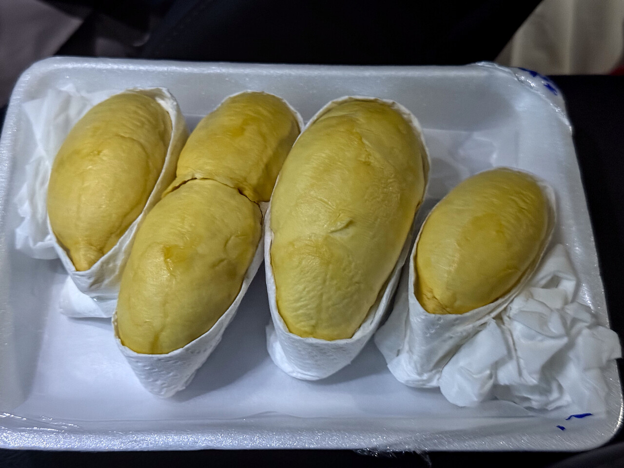
We have a Thai pilot friend who picked us up and took us out for dinner. After a delicious meal we went to Bangkok’s Chinatown with its lively night market. It was Durian season and of course we had to enjoy the stinky fruit together.
Across the Malay peninsula in the rainy season
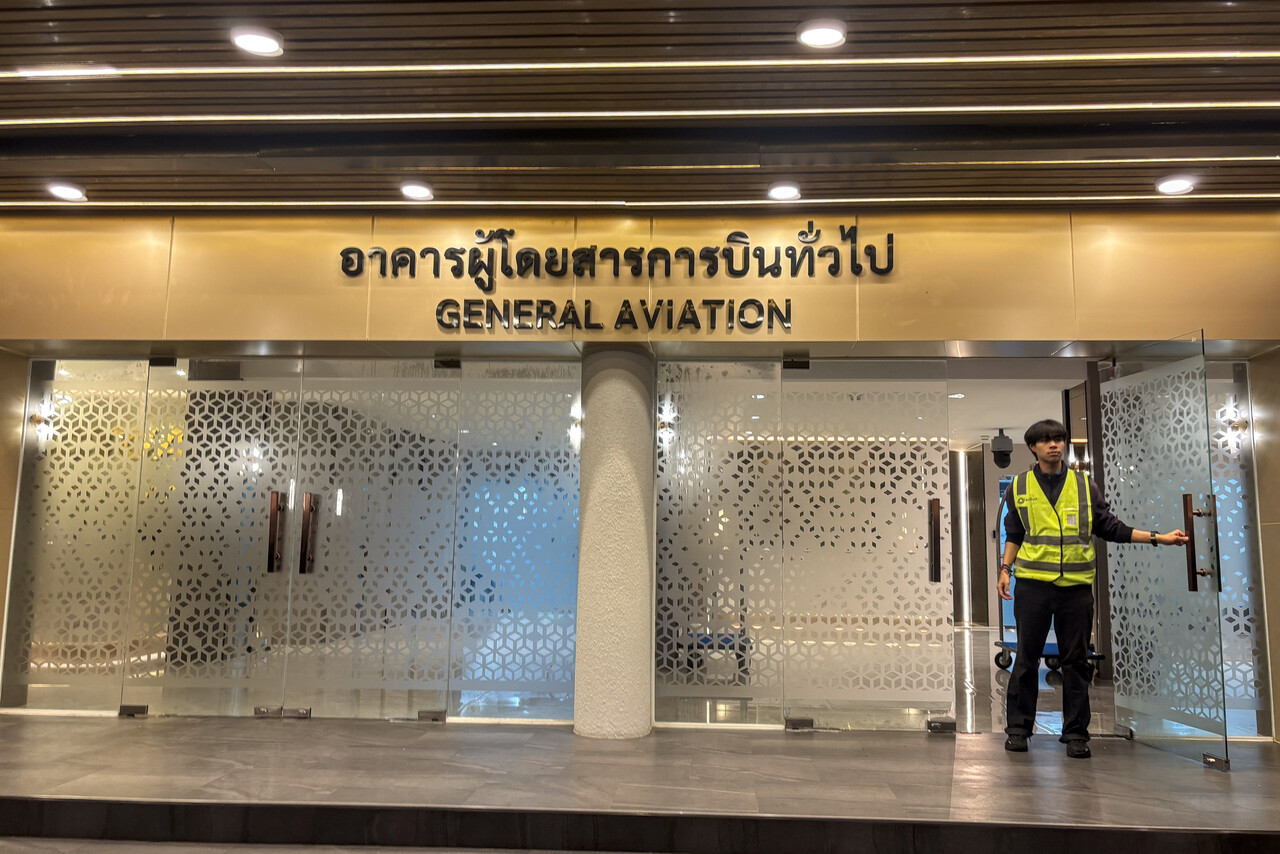
Our next destination was Singapore Seletar, WSSL. Our friend picked us up early in the morning and dropped us at the GA terminal. As on arrival, things worked super smoothly again and we were at our Mooney’s stand in no time. We took off right before sunrise.
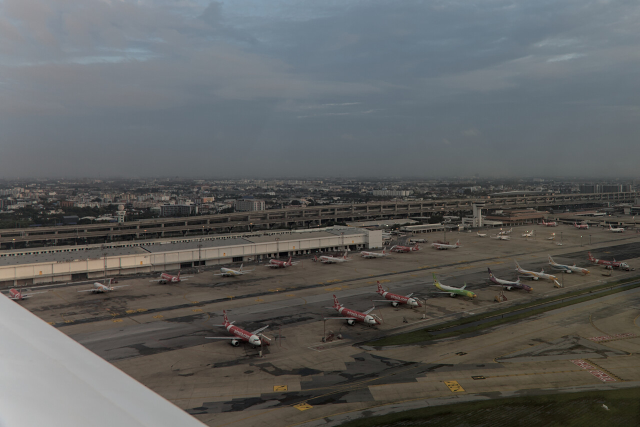
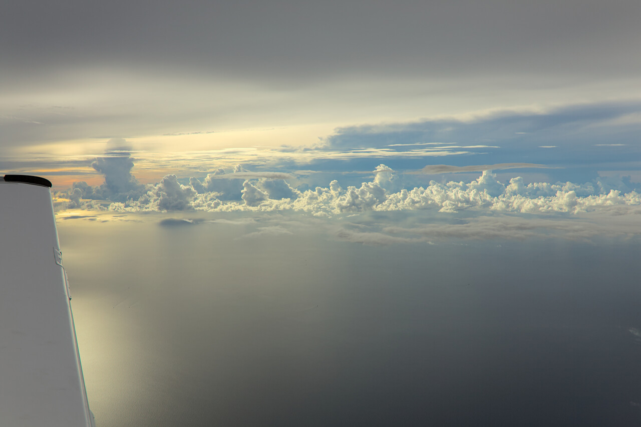
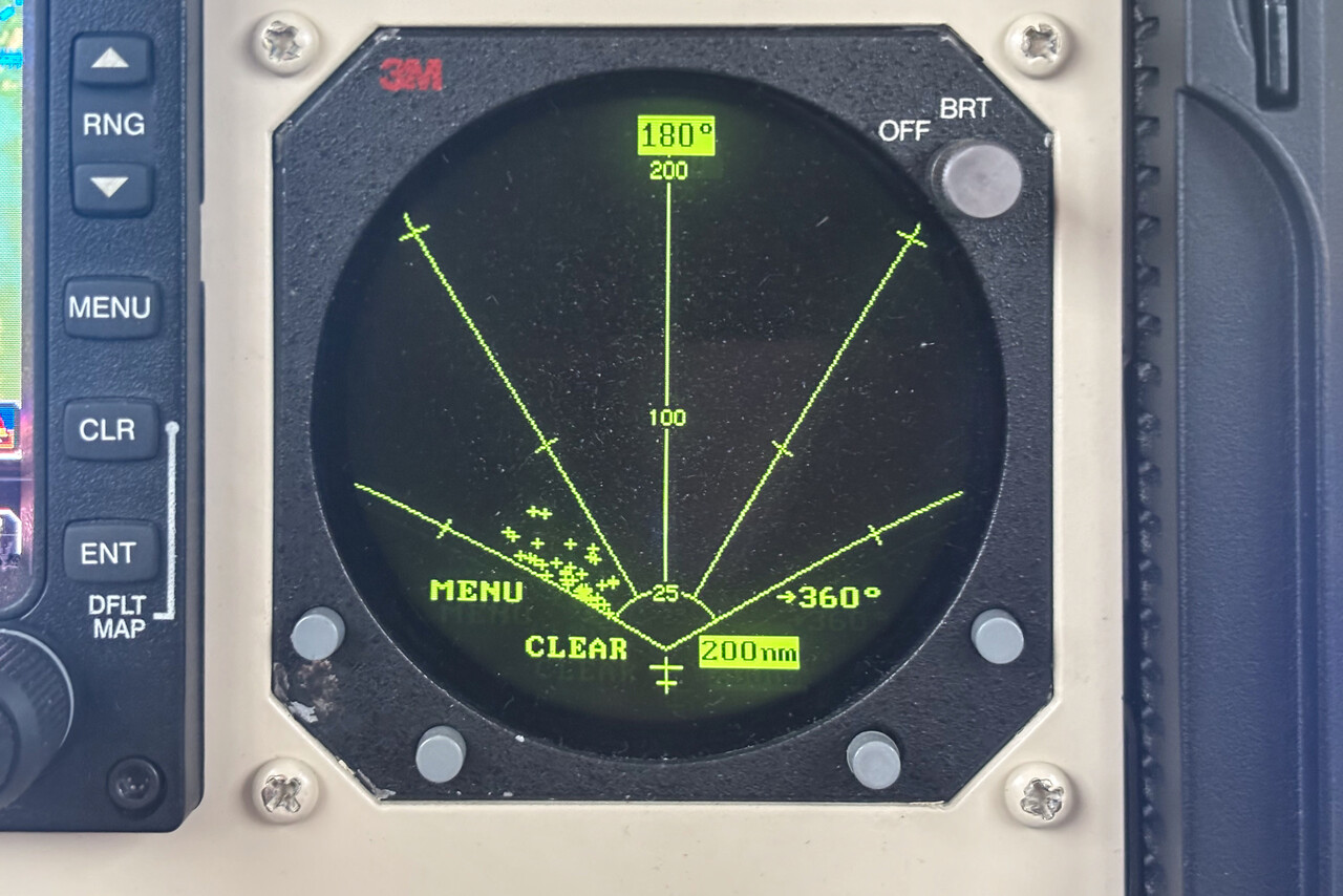
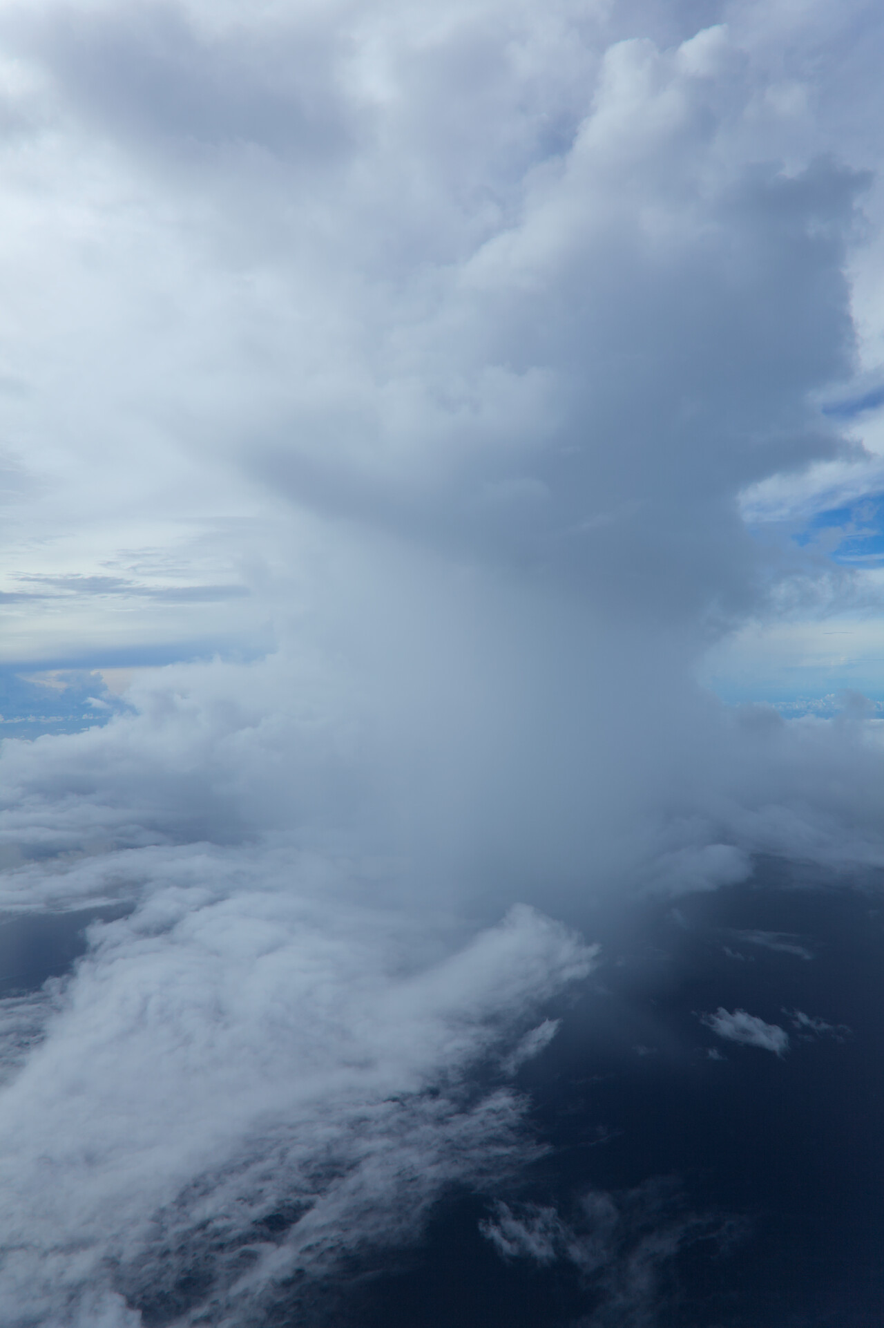
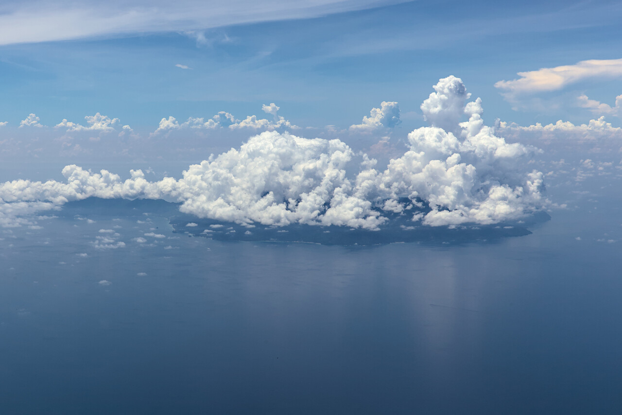
It would be another six hours flight in difficult weather. It was already very convective when we departed Bangkok, but Thai ATC were very good once again. They apparently understood well that we didn’t have the capabilities of airliners and that we needed to stay VMC. All our requests were approved immediately.
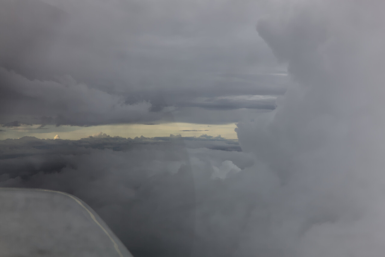
It got a bit calmer for a while, but that didn’t last long. As on all flights since Egypt, we were cruising at FL170 and had to ask for many deviations.
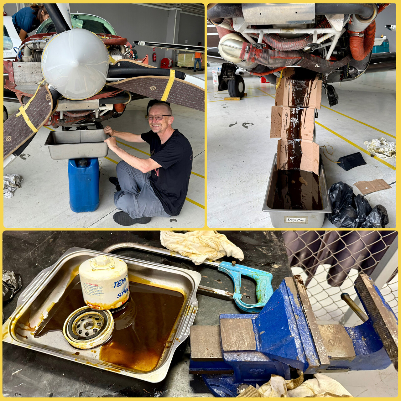
Maintenance for RM, a litte break for the crew
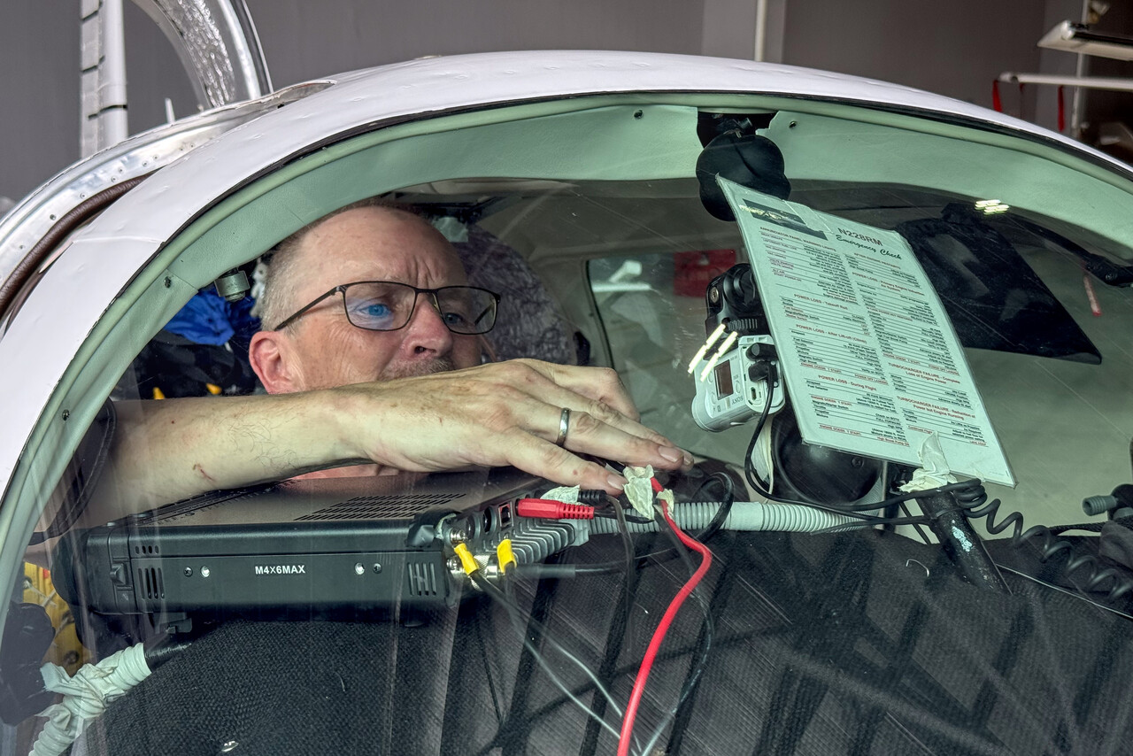
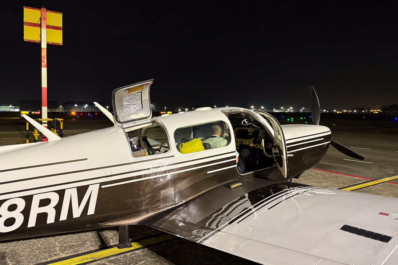
Finally we reached Seletar, where we had arranged to use a shop for maintenance. Right after we had passed C&I, we started to work. Tina and I changed the oil while a local mechanic filled up our oxygen. Moreover, I reinstalled our non-permanent HF equipment on the glareshield.
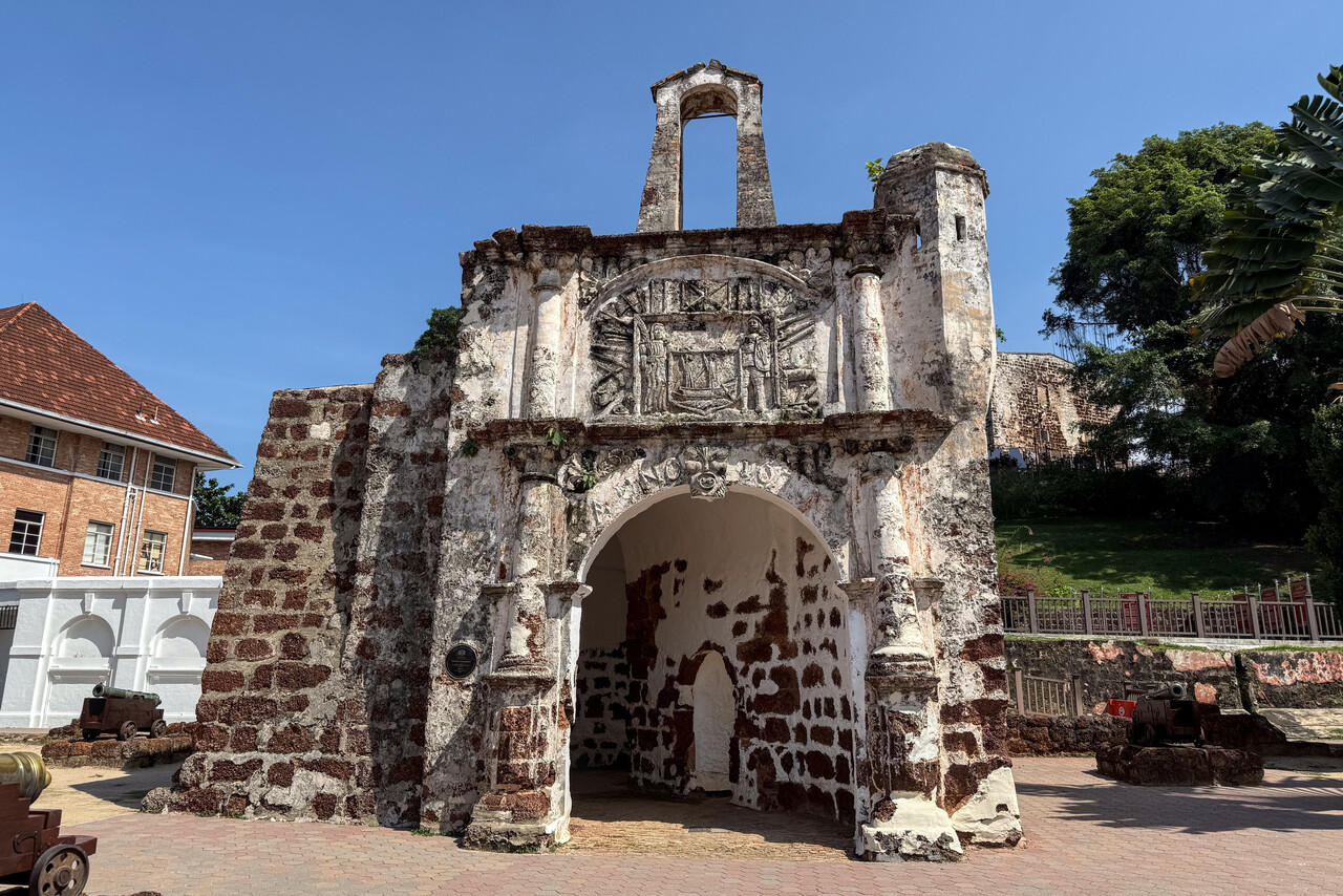
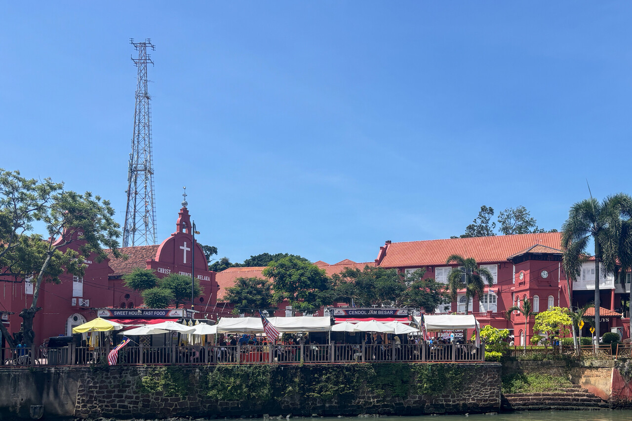
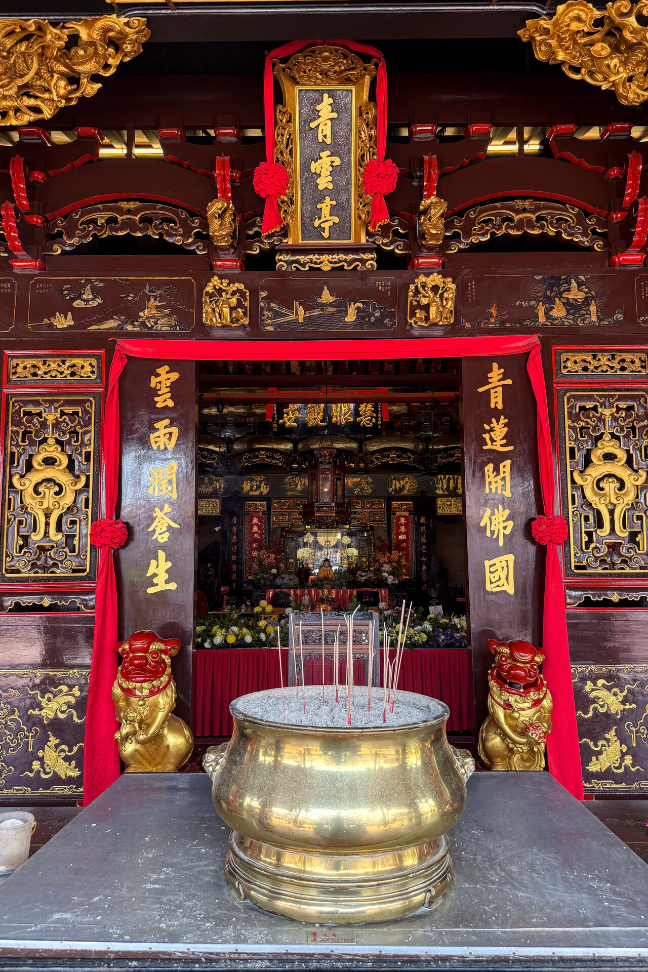
We had planned a four nights stay in Singapore. First, we weren’t sure if we could do the maintenance immediately and how long it would take. Second, we thought we could use a little break. However, as last time, we were at our hotel with all work done by six pm on the day of our arrival. Four nights in Singapore, where we had been so many times before, appeared a bit long, so we took a bus to Malacca the next morning. We had been there before as well, but that was decades ago. It’s a touristy place with a long history and it’s easy to spend a day exploring the sites. We stayed for two nights at a nice hotel before we took another bus back to Singapore.
Venturing into the unknown: To the Philippines and Okinawa
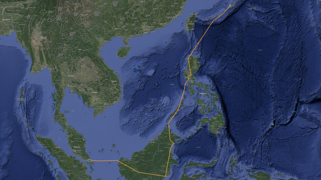
Something really new would start after Singapore. We had never been to Borneo, the Philippines or Japan.
Across Borneo
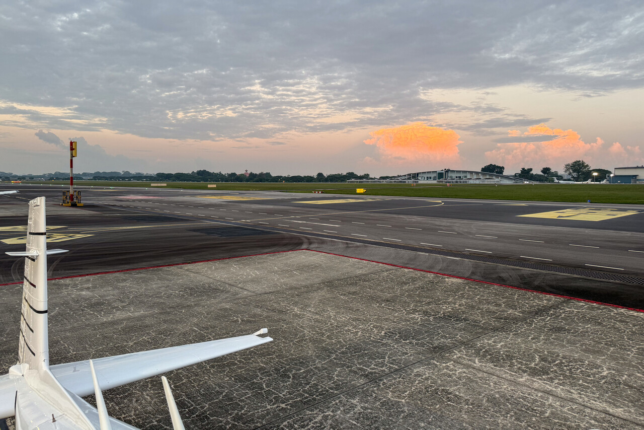
Actually end of May is in the drier season of the year in Singapore and Borneo, but this doesn’t mean too much in the middle of the ITCZ. Of course we tried to get an early departure, but there were active storms in the vicinity of the airfield before we could even request start-up, luckily not in the direction of our departure route to Balikpapan, WALL.
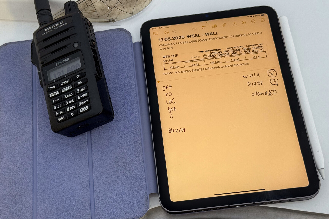
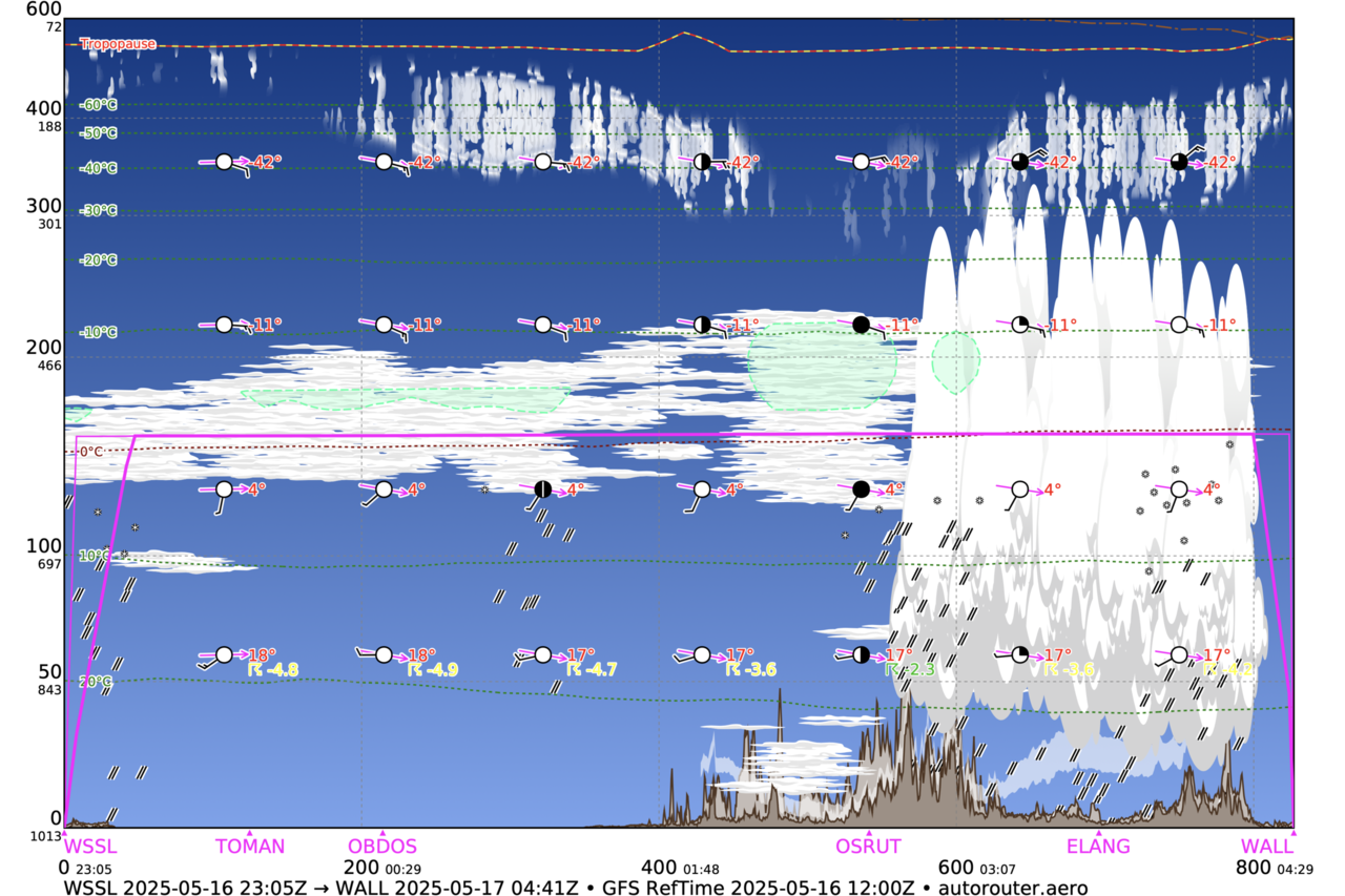
Westerly winds don’t prevail inside the ITZC and in fact we would have to face a headwind, the higher up the worse, on this leg. Moreover, besides all the convection there were stratiform clouds forecast, which we would probably not be able to get on top of. We decided to try our luck lower down and to cruise at FL110. Maybe we were just lucky, but this flight tactics worked really well.
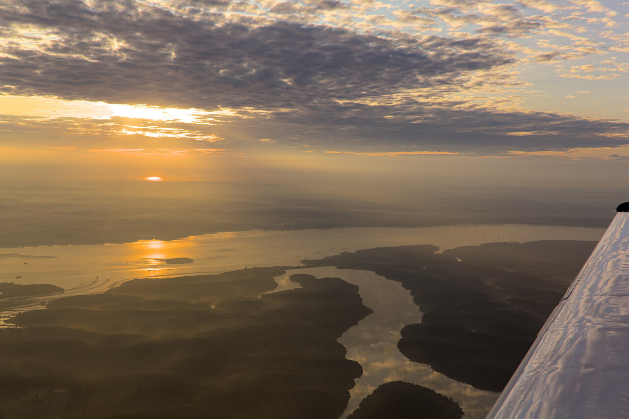
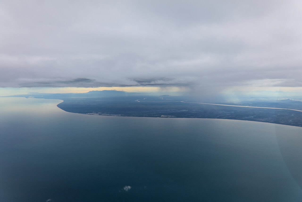
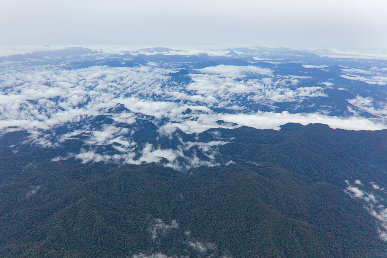
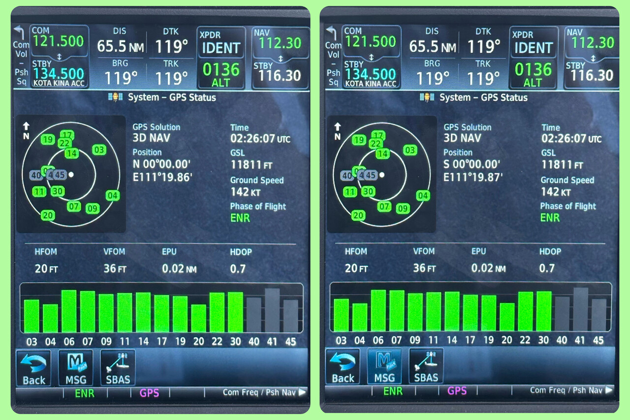
On this flight we crossed the equator for the fifth time with our Mooney. It was in a very shallow angle, this time, so we had plenty of time to prepare and celebrate the event.
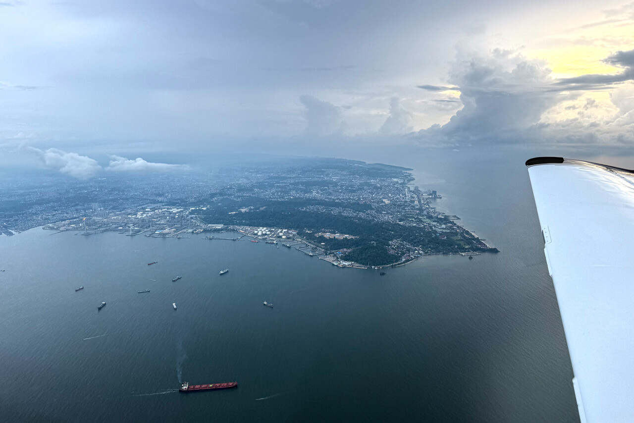
A heavy shower over Balikpapan was reported when we downloaded the weather for our arrival, but it was gone when we actually reached the airport. We asked for a visual approach which was immediately granted.
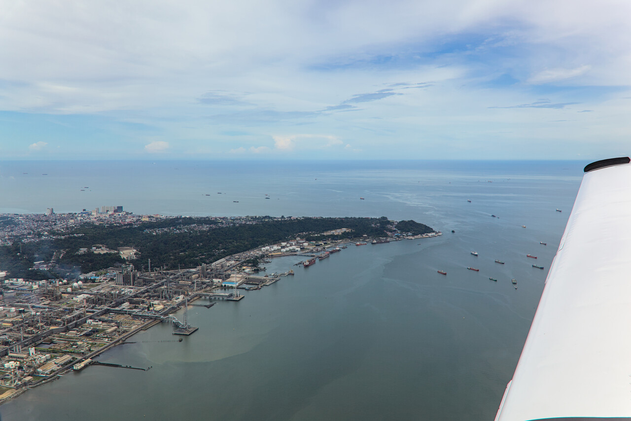
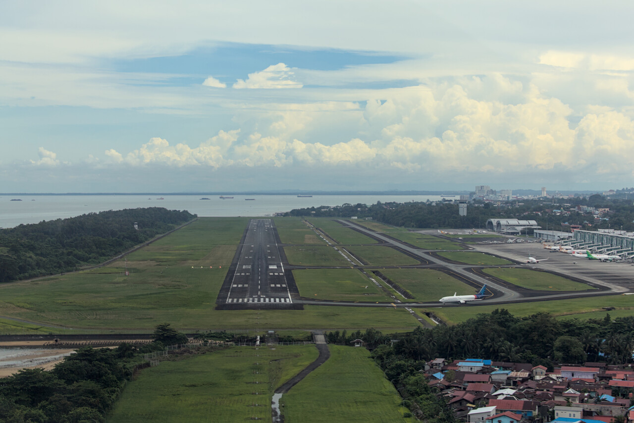
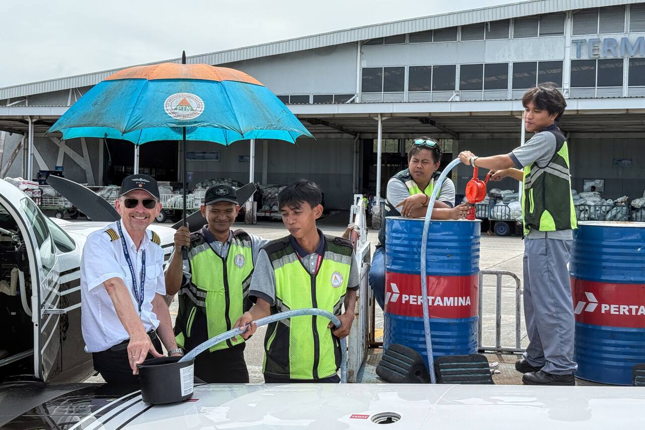
The heat was oppressive when the sun came out after the shower and refueling was a sweaty affair. However, our handling crew was excellent and really friendly.
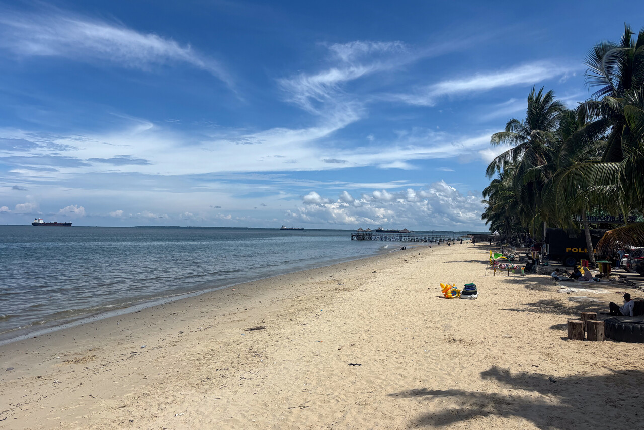
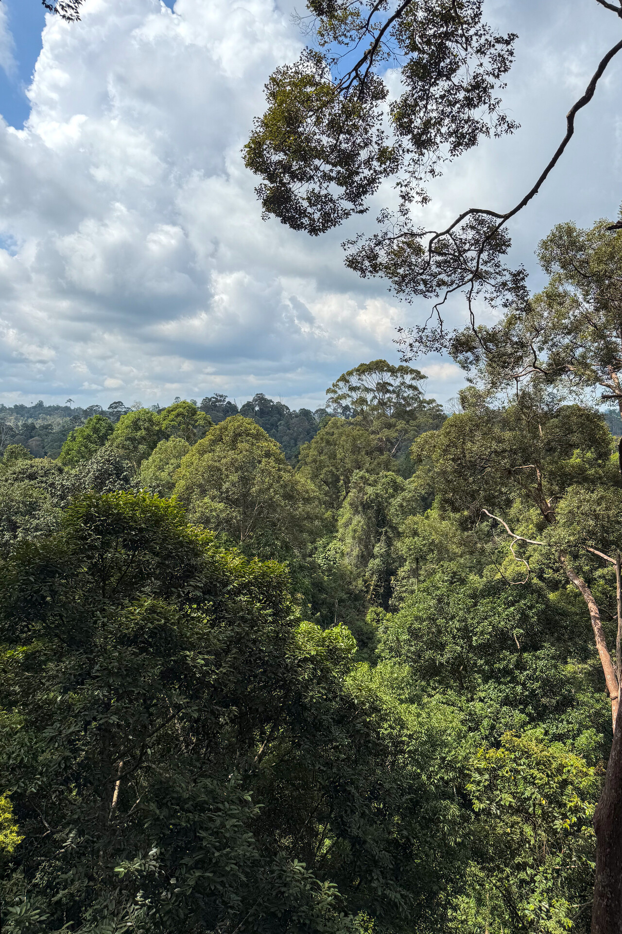
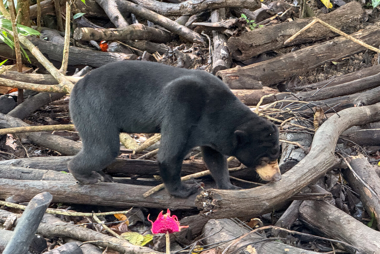
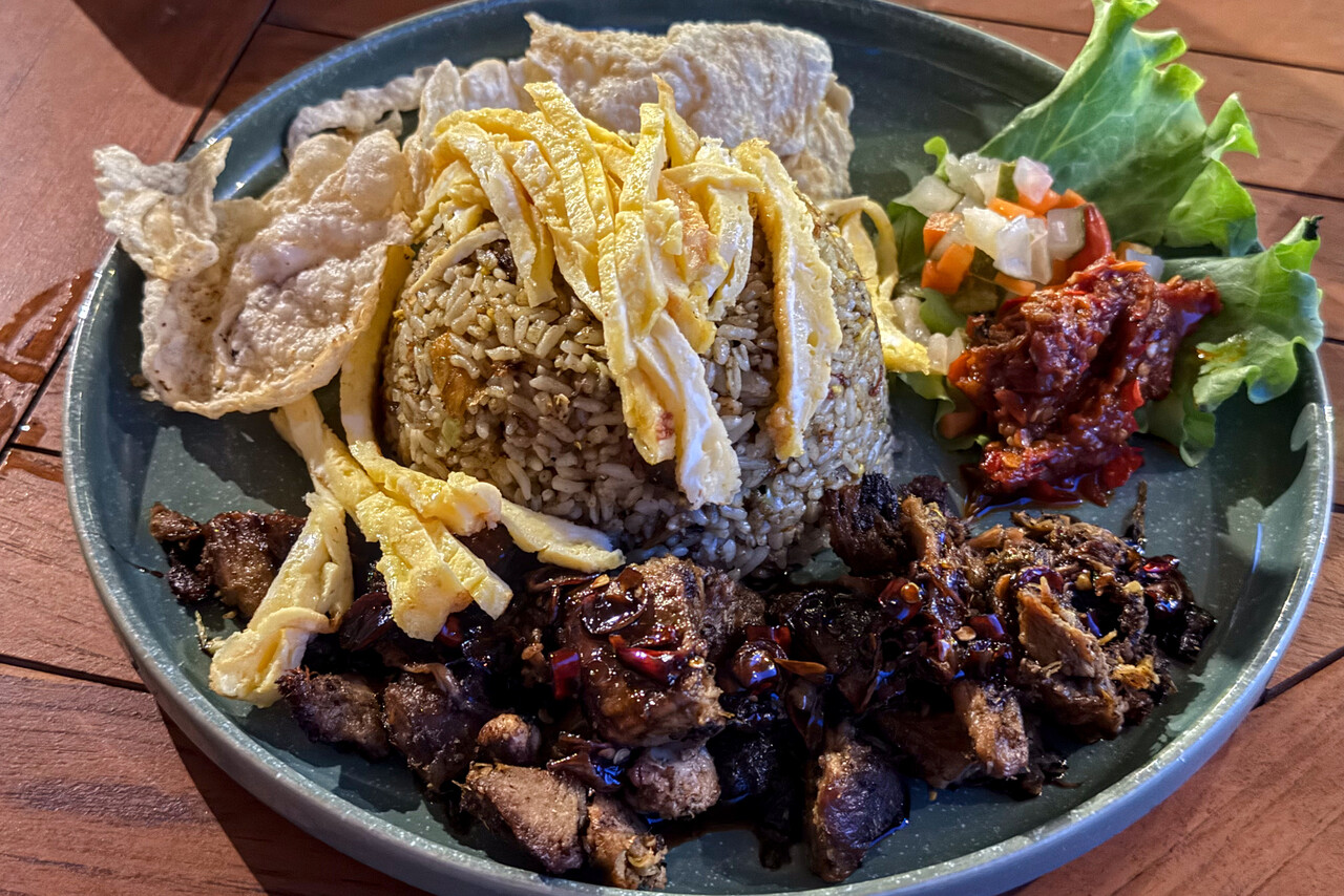
Besides the two visits on the way to Australia and back we had been to this country many times before, but never had we been to Balikpapan. There weren’t any surprises though – Balikpapan is a typical Indonesian city and not the most exiting one. We spent two days there. On the first we explored the town and on the second we took a car to see the surroundings. A species of small bears lives in the jungle of Borneo, called the sun bear. There is a wildlife refuge about an hour drive outside town where the sun bear can be seen.
Flying to the Philippines
Flying to Clark, RPLC, in the Philippines meant that we would now venture into the unknown for real – we had never been to the Philippines before. Reports from other pilots flying light planes across this country weren’t too positive, so we expected the worst but in the end all worked fine.
Weather was forecast to be somewhat similar to the previous leg, so we decided to fly at FL110 once again. With more than one thousand nautical miles distance it would be a rather long flight again.
As on all previous occasions Indonesian ATC were really good: excellent English, friendly and helpful.
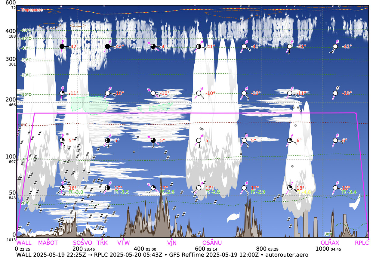
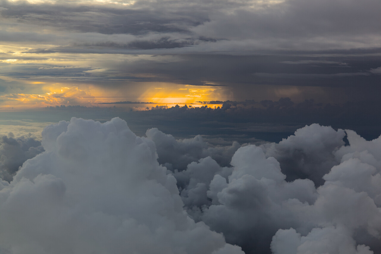
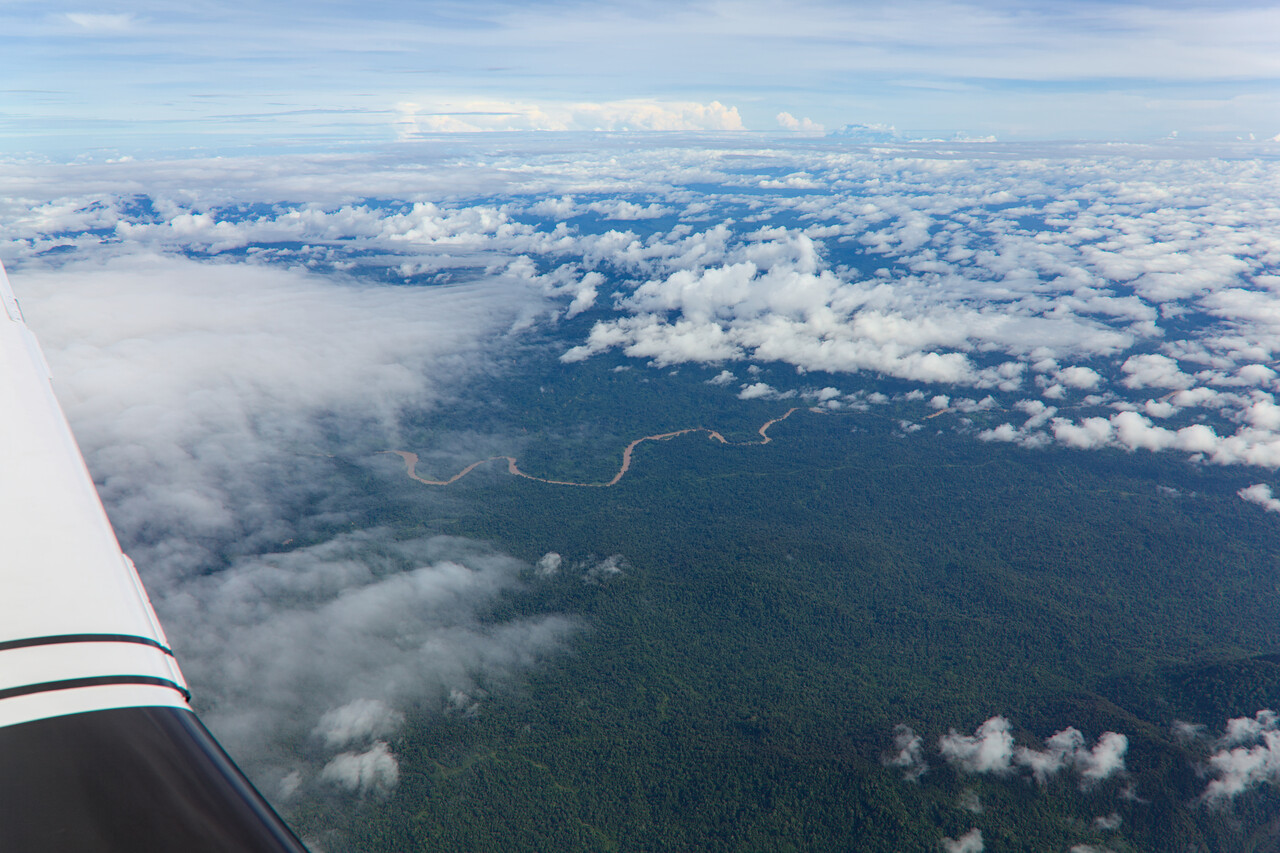
The Philippines don’t allow IFR below FL170. We had therefore filed that but requested stop climb at FL110 with Indonesian ATC what was happily granted. There was a little confusion with the first Malaysian sector as they didn’t expect us at that level and didn’t have our flight plan. However, this was easily solved.
A few minutes before we reached the boundary to the Manila FIR, Malaysian ATC informed us that the Philippines would not accept us IFR at FL110 and asked if we wanted to cancel, what we did. We were handed over to Manila to whom we reported our next fix and level. This was acknowledged and we continued on our filed route for maybe half an hour. Manila came back to us and asked if we were VFR. We confirmed that and were told to proceed off airway. I still don’t understand what this was about, as there are no IFR flights at FL110 (there was no terminal near by), so there are no airways. I thought it might be best to fly direct towards our destination, what we did. ATC instructed us to monitor a different Manila frequency, what we did as well. When we came closer to our destination, we tried to leave frequency but they refused to talk to us even though we knew they could hear us well. We contacted Clark approach and to our surprise they treated us as IFR traffic again. They first cleared us for a STAR and took us on vectors shortly after.
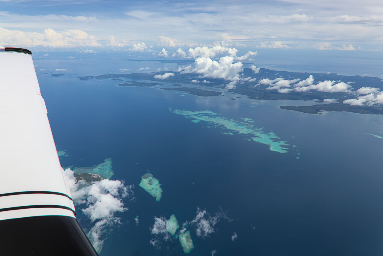
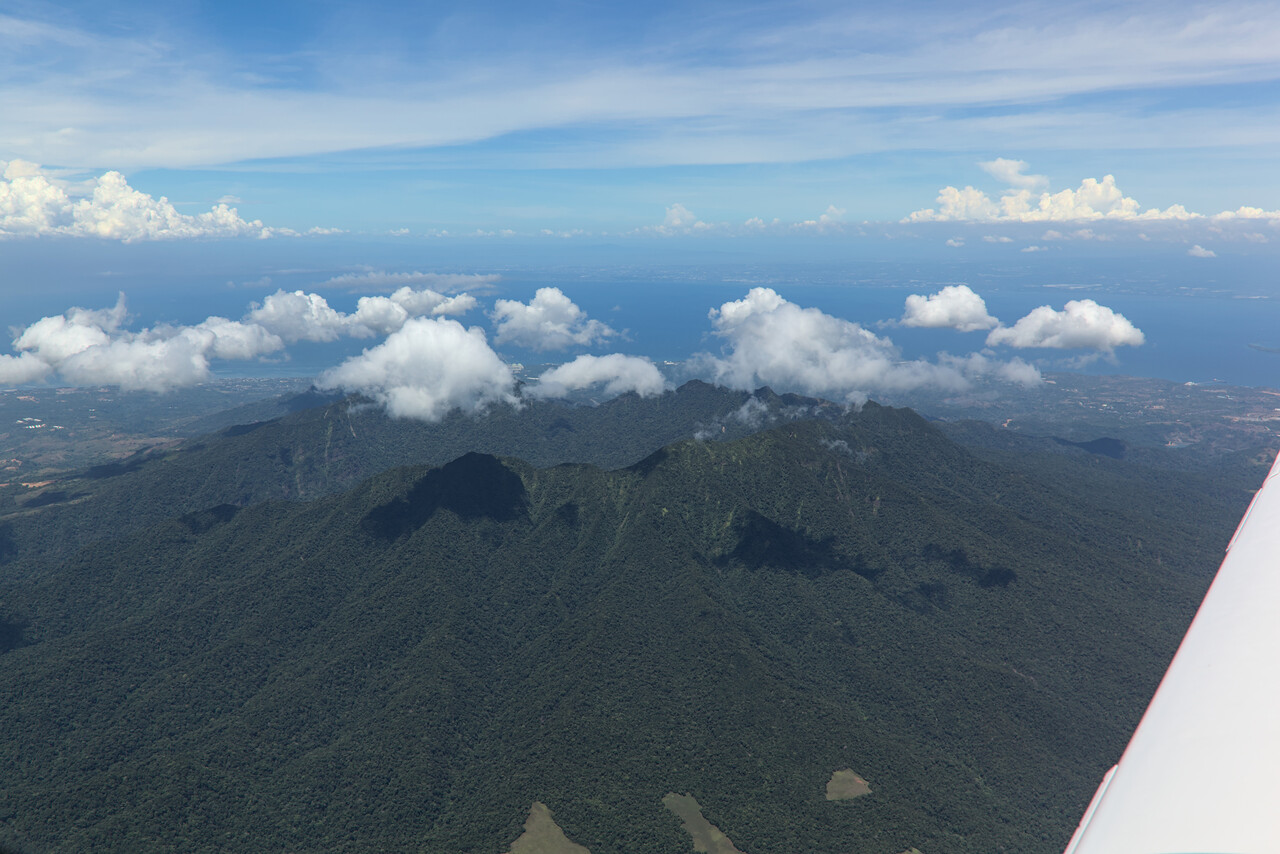
Clark is busy with cargo flights and there was quite some traffic. We were vectored around for a while and landed without an issue. Our handling agent awaited us at our stand and fuel arrived shortly after we shut down the engine. Unfortunately the pump the fueler had wasn’t very good, it leaked badly, but we were able to empty the drum to the last drop.
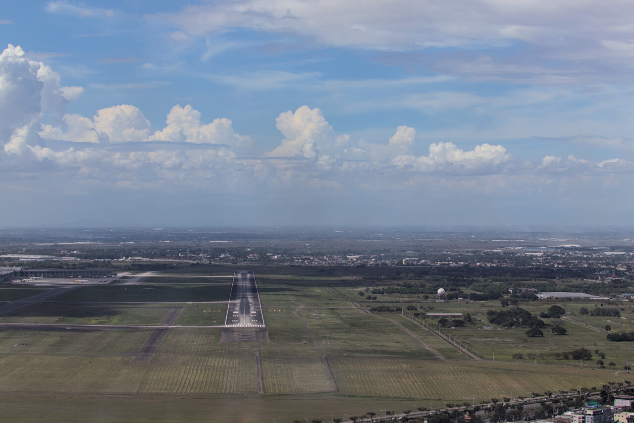
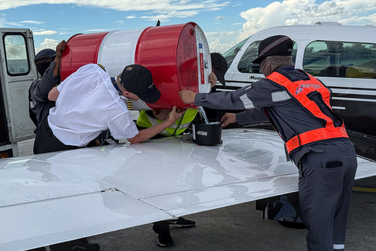
Clark airport is a former US airbase and it’s located near the city of Angeles where we stayed for three nights. Unfortunately, Angeles is not the prettiest place and most famous for its abundance of brothels.
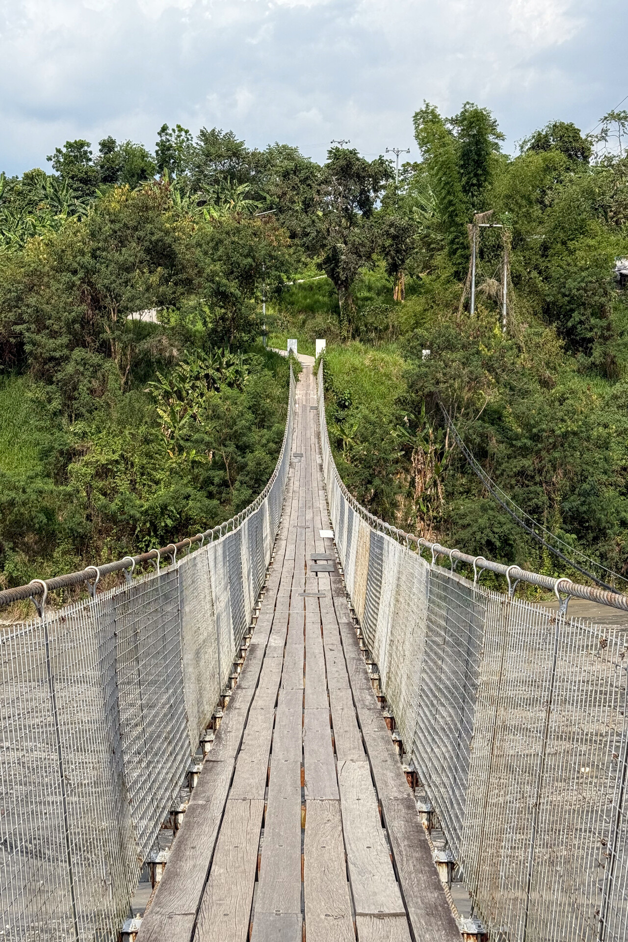
I played with google maps a bit to see what was in the vicinity and found a waterfall that could only be reached on foot only few kilometers out of town. A narrow but long pedestrian suspension bridge has to be crossed to get into a different world from Angeles. The waterfall was a bit underwhelming but getting there was a lot of fun.
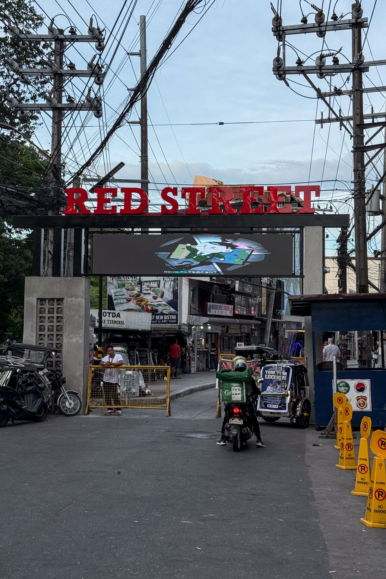
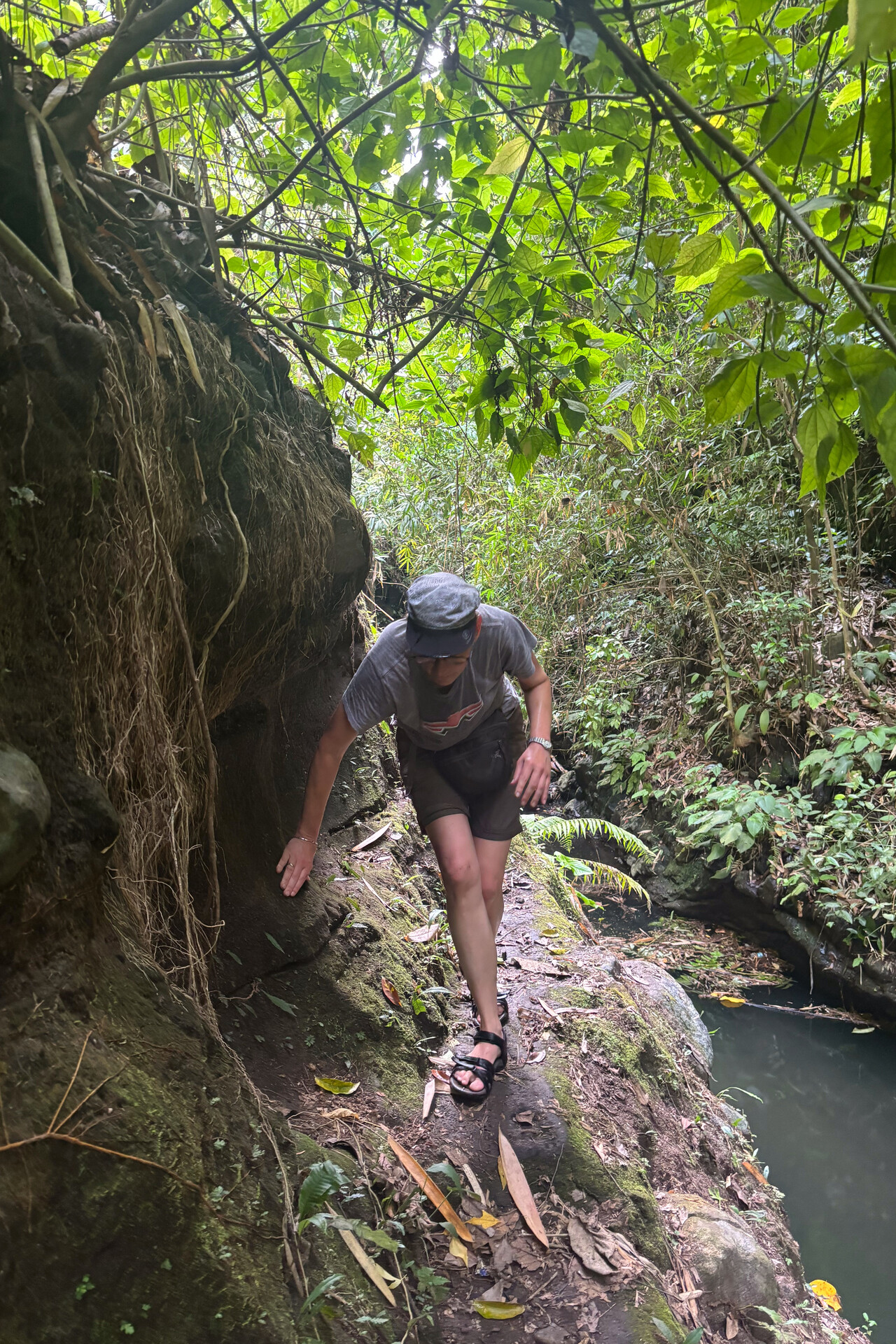
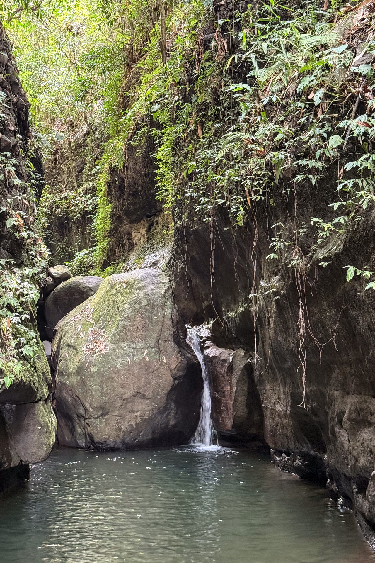
The next day we hired a car and a driver to take us to Manila, what was less than two hours drive. Unfortunately Manila is not very pretty either even without the zillions of prostitutes. The city was completely destroyed in World War Two and there are almost no historic buildings left.
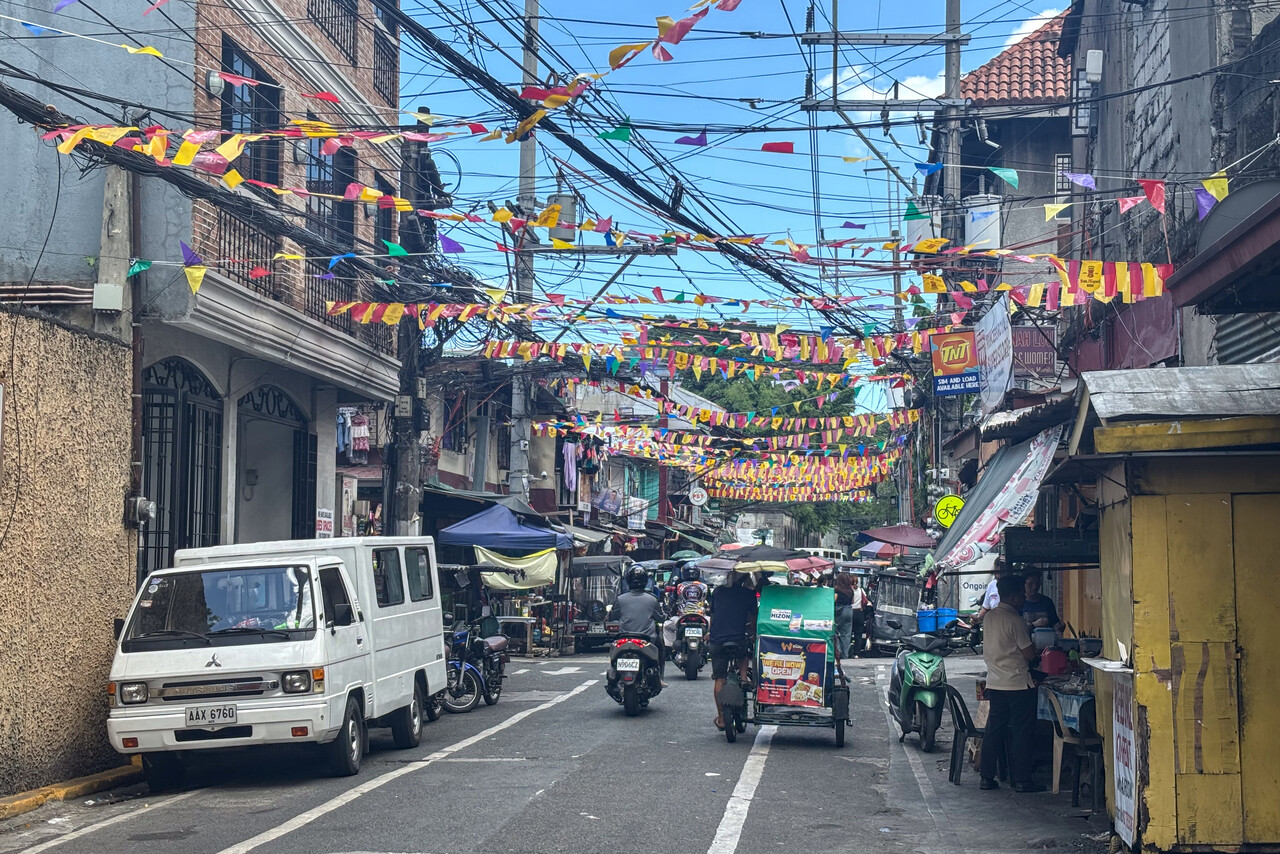
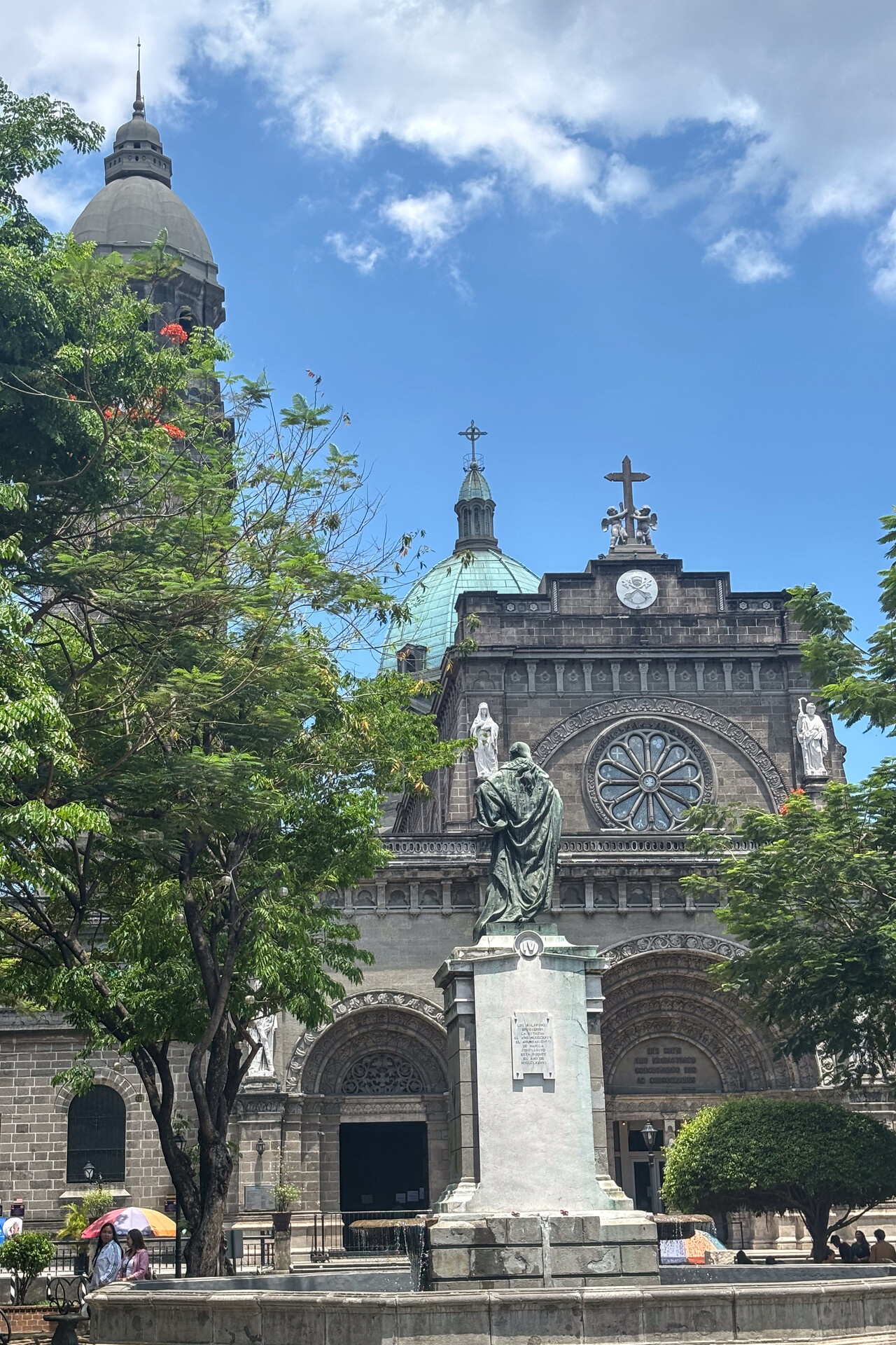
All in all we didn’t really fall in love with the Philippines, but we should probably give the country a second chance, skipping Angeles and Manila.
Leaving Southeast Asia
On the day of departure our handling agent picked us up at our hotel on time and drove us to the airport. There is a separate GA terminal and everything worked really well. As planned, we could take off at six am local time for the five and a half hours flight to Naha, ROAH on Okinawa Island, Japan. This time we flew at FL170 as filed, so Philippine ATC had nothing to complain about and weather wasn’t an issue either.
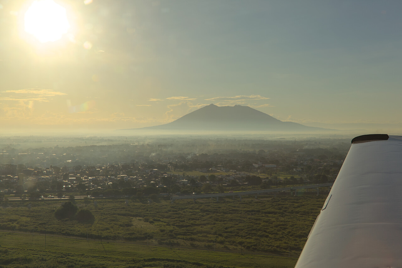
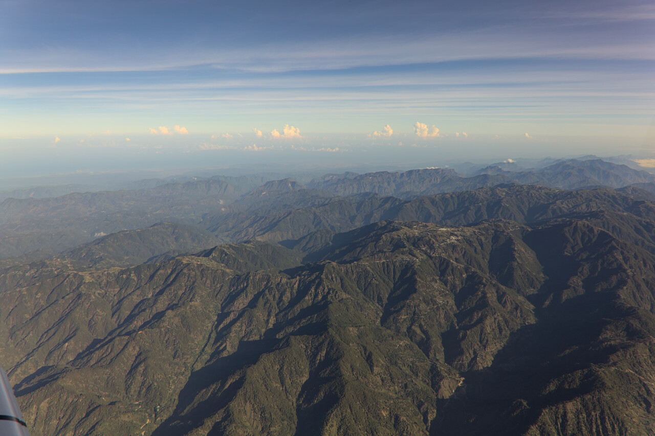
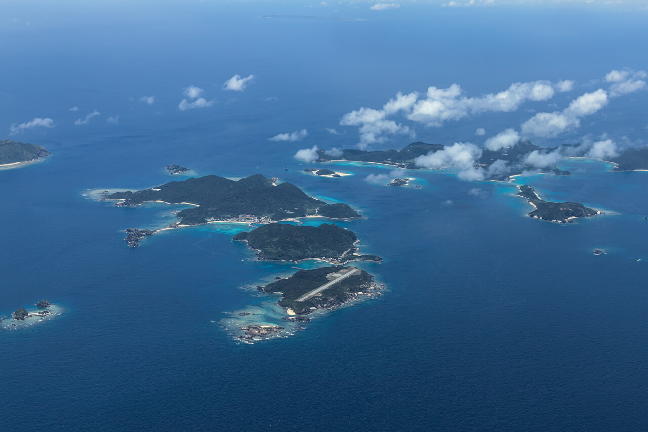
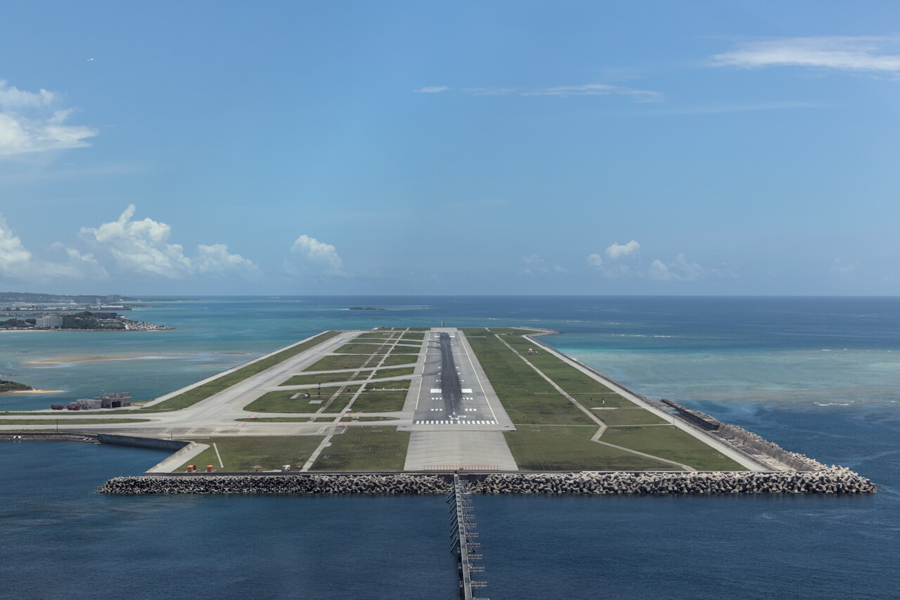
This was the end of the spreadsheet phase of our journey, at least in some sense. We had managed to do all the flights exactly on the planned date even though sometimes not exactly along the planned routes. As mentioned earlier, we used Mike’s White Rose Aviation for all the permits except for Indonesia once again and couldn’t be happier – everything worked out really nicely. For Indonesia we worked with AFM Aviasi directly, as Mike is not keen on doing that. I don’t know why that is, maybe they had problems getting along in the past. Last time there were a few glitches with fuel availability and our visas in Indonesia, but this time everything worked perfectly fine.
Kon’nichiwa, Nippon: Japan
Visiting Japan had been on our bucket list since forever, but neither was there ever the opportunity for a business trip nor did we ever get around to do it privately. That we arrived to the country in our own little Mooney was special, of course.
Light GA in Japan
There is private light GA in Japan, it’s just not as common as in Europe, let alone the US. There is even an AOPA Japan that serves the needs and interests of aircraft owners. There are GA friendly airports and even dedicated GA fields where Avgas is available. However, they mainly serve flight training organizations, and private owners apparently piggyback on this infrastructure.
Unfortunately, English is not widely spoken in Japan. This is especially problematic as Japan is a very bureaucratic country and dealing with this bureaucracy is only possible in Japanese. Fortunately, there is a friendly guy by the name of Peter Steeger running a small company that caters to visiting light GA. Peter calls his service handling on his website but it’s actually much more. He arranges the required permits and has people at several airports all over Japan who will take care of visiting pilots on the ground. This means mainly guiding them through the bureaucracy and translate wherever this is necessary. Moreover, Peter being a Westerner in Japan and an avid pilot himself, provides invaluable hints on feasible airports and possible itineraries. Finally he’s a very interesting person to talk to. He has spent half of his life in Japan, is married to a Japanese woman and speaks Japanese fluently. He knows the country inside out but still sees it through Western eyes.
All along Japan
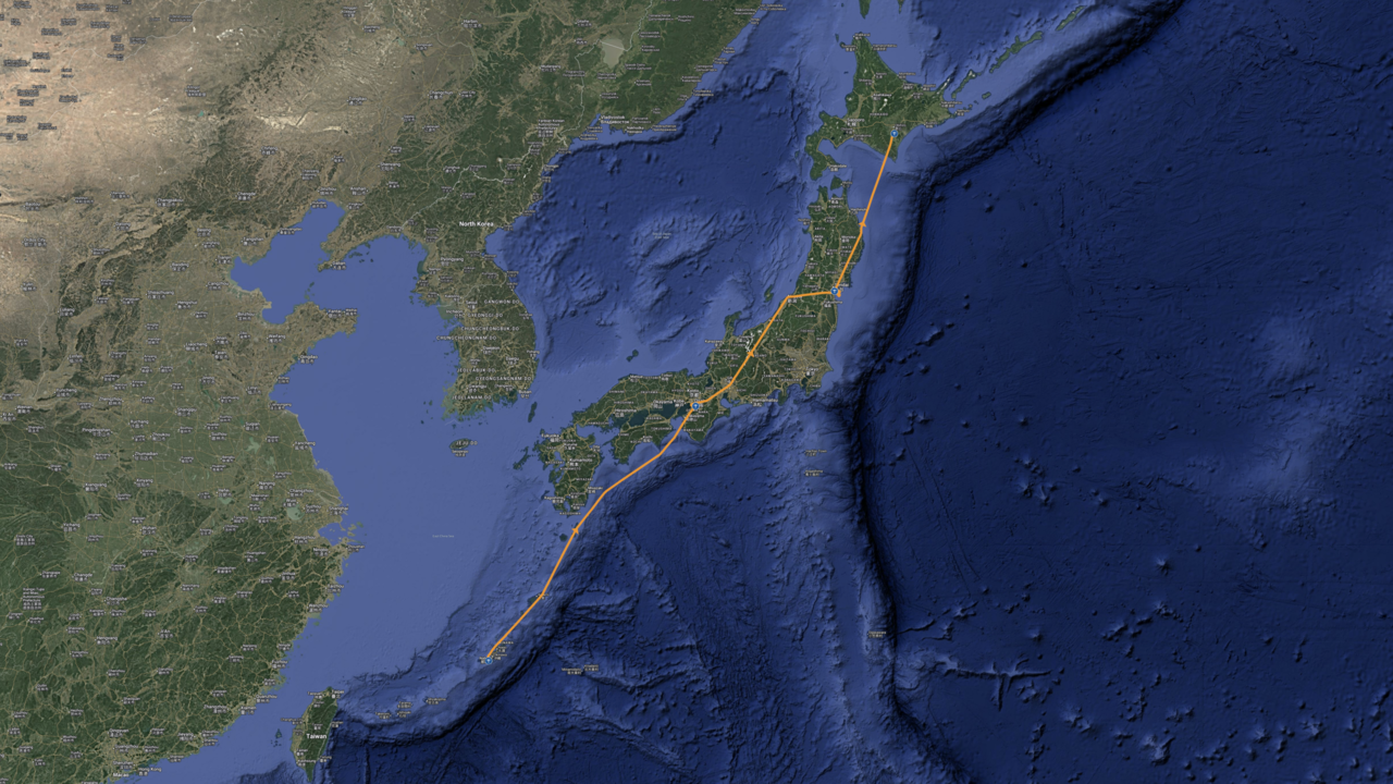
We had agreed that we didn’t want to rush through but try to see as much as possible of this dream destination of ours. Unfortunately, many Japanese airfields give only parking permission for three days. Moreover, not all airports are suitable for light GA. Therefore the spreadsheet phase was not completely over, we still had to plan our Japanese itinerary with exact dates. After some back and forth our planned and actually flown route was Naha, ROAH – Yao, RJOY – Sendai, RJSS – Obihiro, RJCB with a planned stay of three nights at each stop.
Arrival in Naha
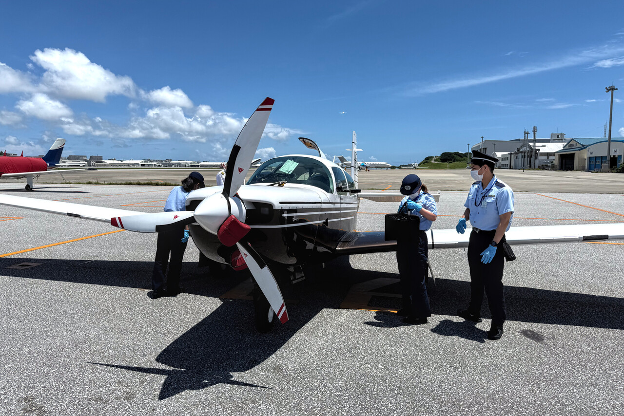
We were greeted by two young Japanese ladies when we reached our stand at ROAH. They worked for JAL which Peter had hired as our handling agents. ROAH is a huge airport and there is no way getting along without a handling agent. Their English was a bit limited but they were extremely friendly and apparently in a very good mood. We were really glad to have reached Japan so we got along nicely.
Shortly after, a van with a few officials arrived. With the translation of the JAL ladies we were able to comply with the procedures. We showed our passports, unloaded our baggage and RM was inspected. We had to demonstrate how much fuel was left in the tanks (easy with a Mooney as fellow Mooniacs will know). Everybody treated us with extreme kindness but the process took a while. Rather abruptly one of the officials said something to one of the handling ladies and she translated that they were satisfied with all the documents and the inspection and we were good to go. We secured the plane and a van took us for a lengthy ride to the terminal.
In the terminal building our passports got stamped and we passed the green ‘nothing to declare’ customs line. This wasn’t really true though, as we had fuel in RM’s tanks. In Japan one has to pay import duties on every gallon of fuel that remains in the tanks of the aircraft after landing and this has to be done in cash, Japanese Yen only. To comply, the ladies took us to an office that we reached after passing a maze of corridors. Many men and women in uniforms were working there and one of them took care of our case. We were told to take a seat on a bench in the corridor outside the office. After half an hour the verdict was announced: we had to pay around forty Euros. Once all was settled, the ladies took us through another maze of corridors to the main arrival hall, waived good-bye and we were ready for our culture shock.
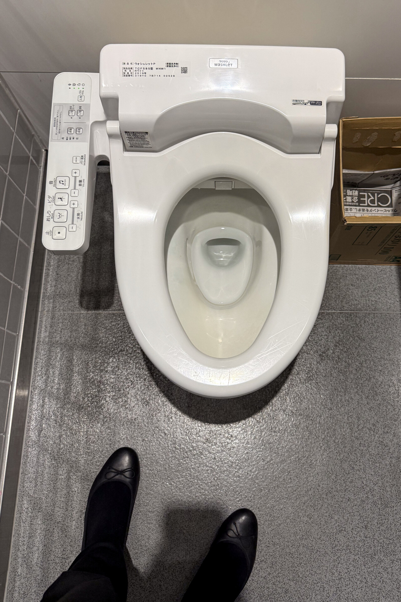
At this point I have to concede that everything I write about Japan is uninformed. I’m convinced that it’s impossible to get an understanding of a foreign country without being able to talk to locals, preferably in the local language. Therefore all that follows expresses just a subjective impression of mine.
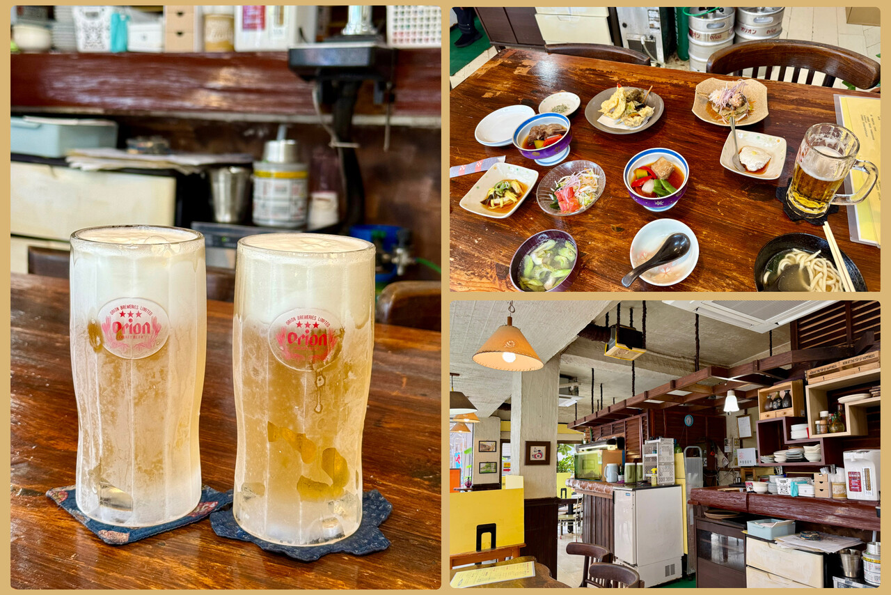
And one more confession: probably it’s obvious by now, we are foodies. Besides flying, eating is an obsession of ours. Japan is heaven on earth if you’re into food, and the good thing is that this doesn’t require any deeper understanding. You just try as much as you can and decide what you like or dislike. In Japan we liked almost everything!
Naha on the island of Okinawa is not a particularly pretty town. We had chosen it as the southernmost point in Japan where we could possibly land. Okinawa is the only Japanese island that was actually invaded by the Americans in World War Two (except for some really tiny ones, I think). The 82 days long battle was the bloodiest of the entire war and Naha was completely flattened in its cause. Naha is an interesting place nonetheless, with a few sites well worth a visit.
Japan was culturally influenced by China for centuries, what is still most apparent in the Kanji script. Chinese merchants that came to Japan mostly arrived in Naha and, as we have been told, it was therefore the most Chinese city in Japan.
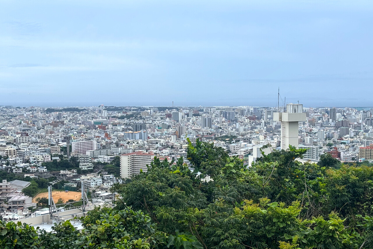
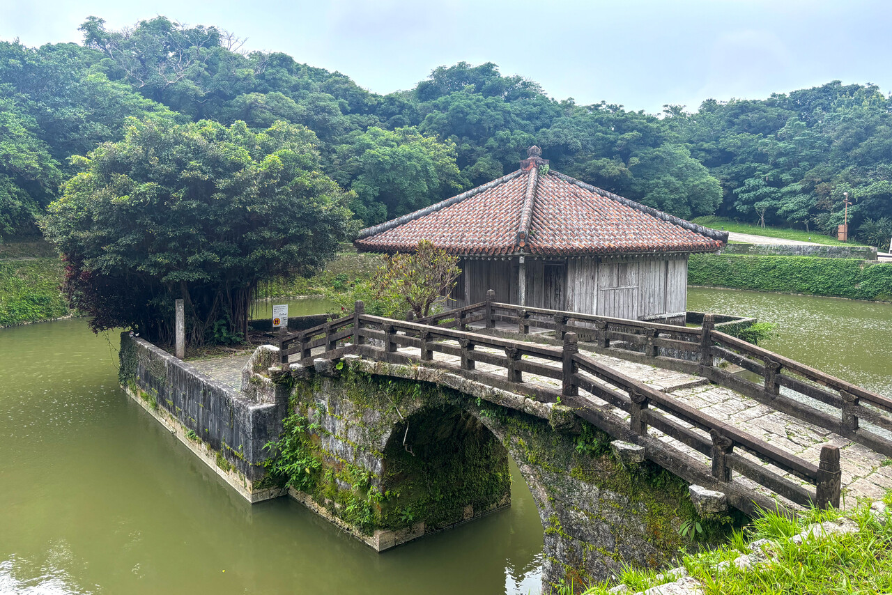
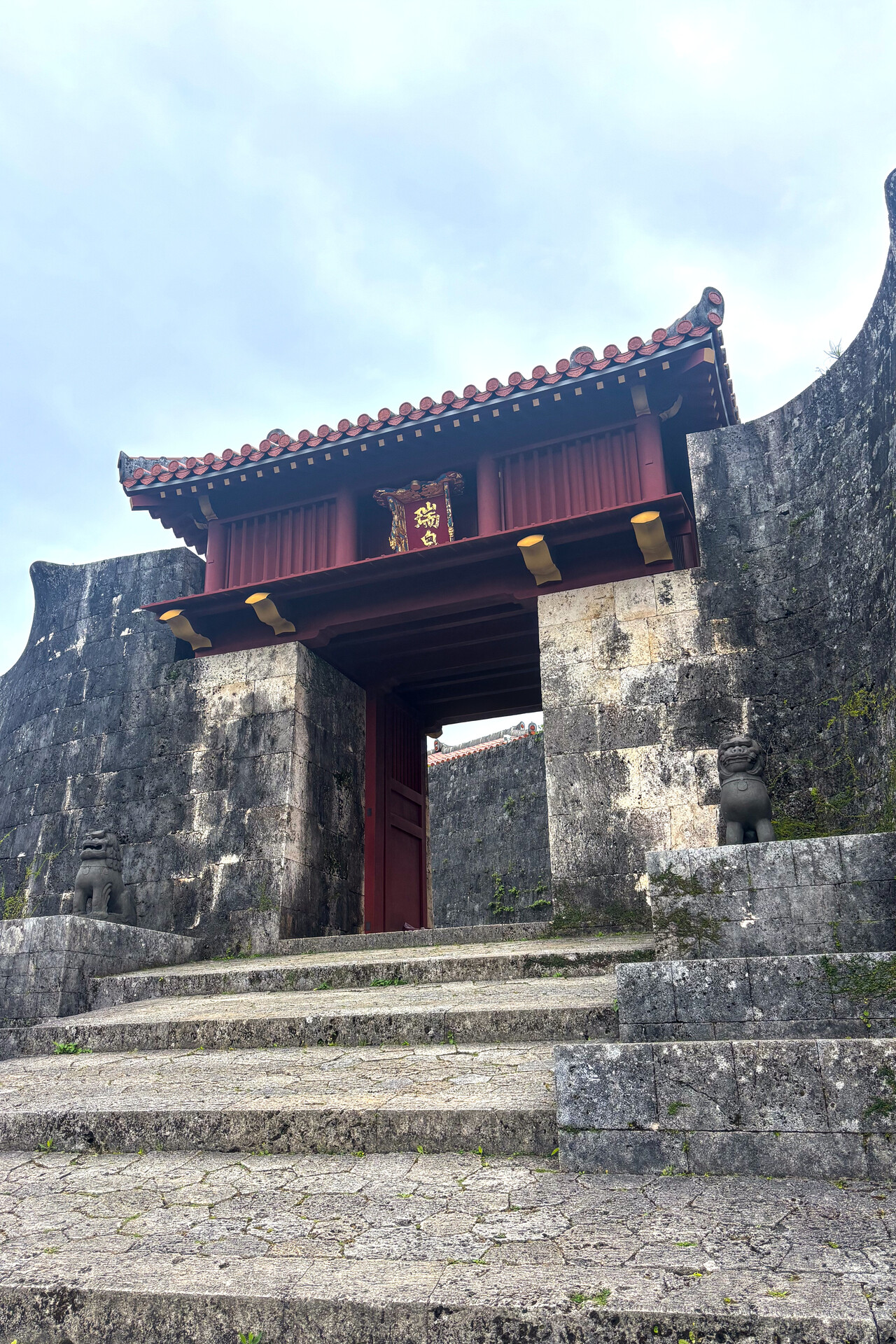
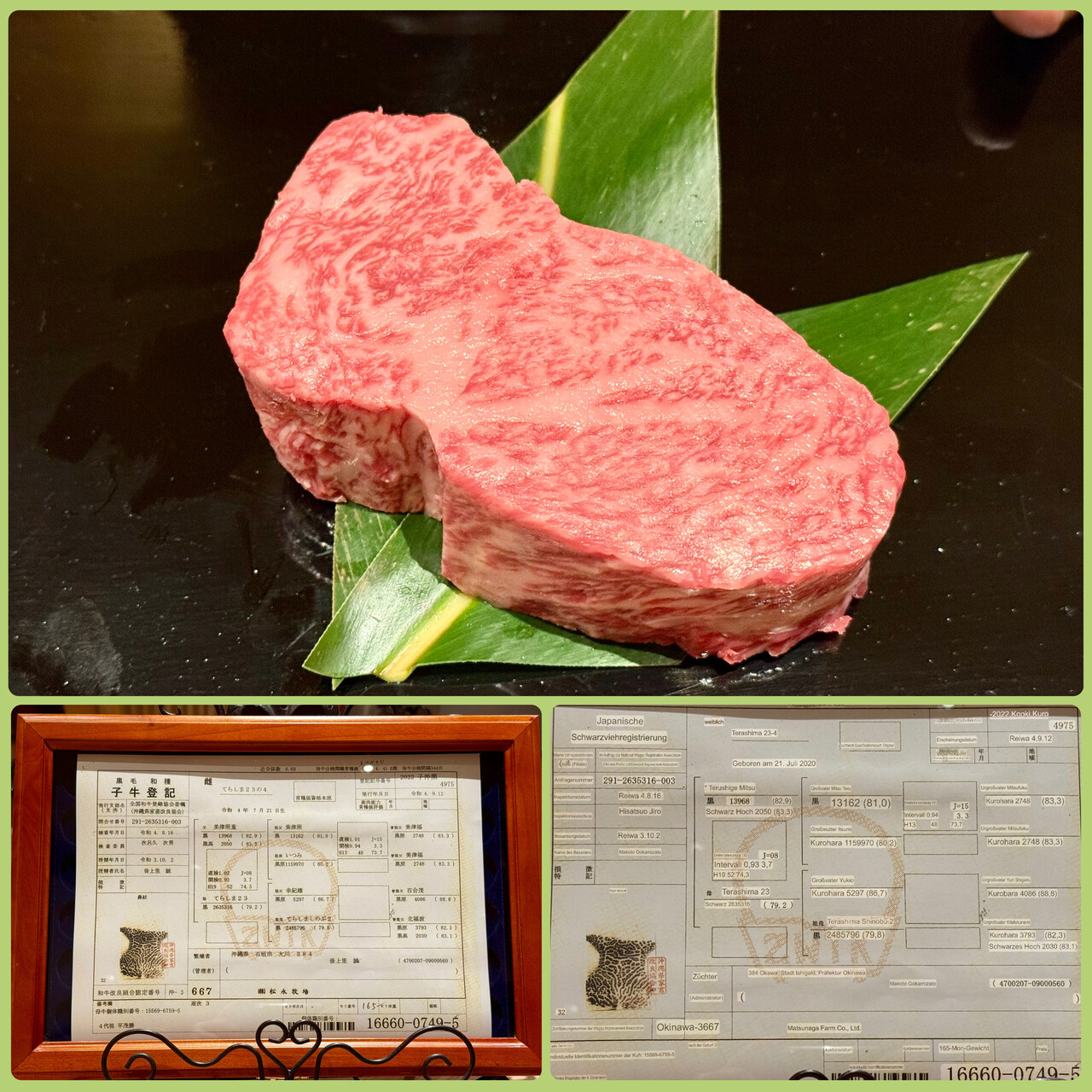
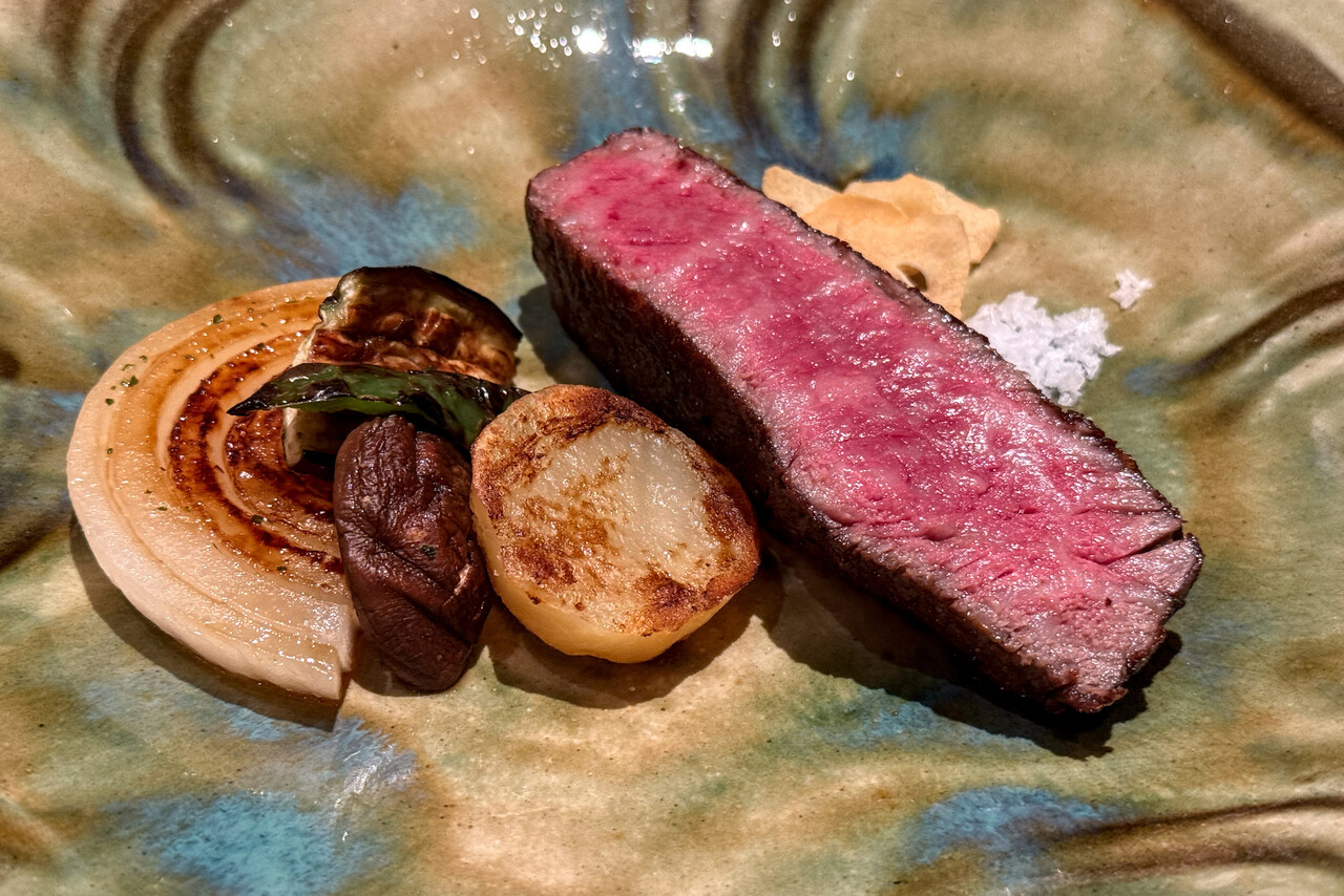
On the first day of our stay we walked uphill to visit the castle. It was nice and offered spectacular views of the city. On the way up and down we strolled through several different quarters of the city. In the evening we tried Wagyu beef for the first time in Japan. We learned that the animal we ate was called Terashima and that cattle can be identified by their nose prints, as humans can be by their fingerprints.
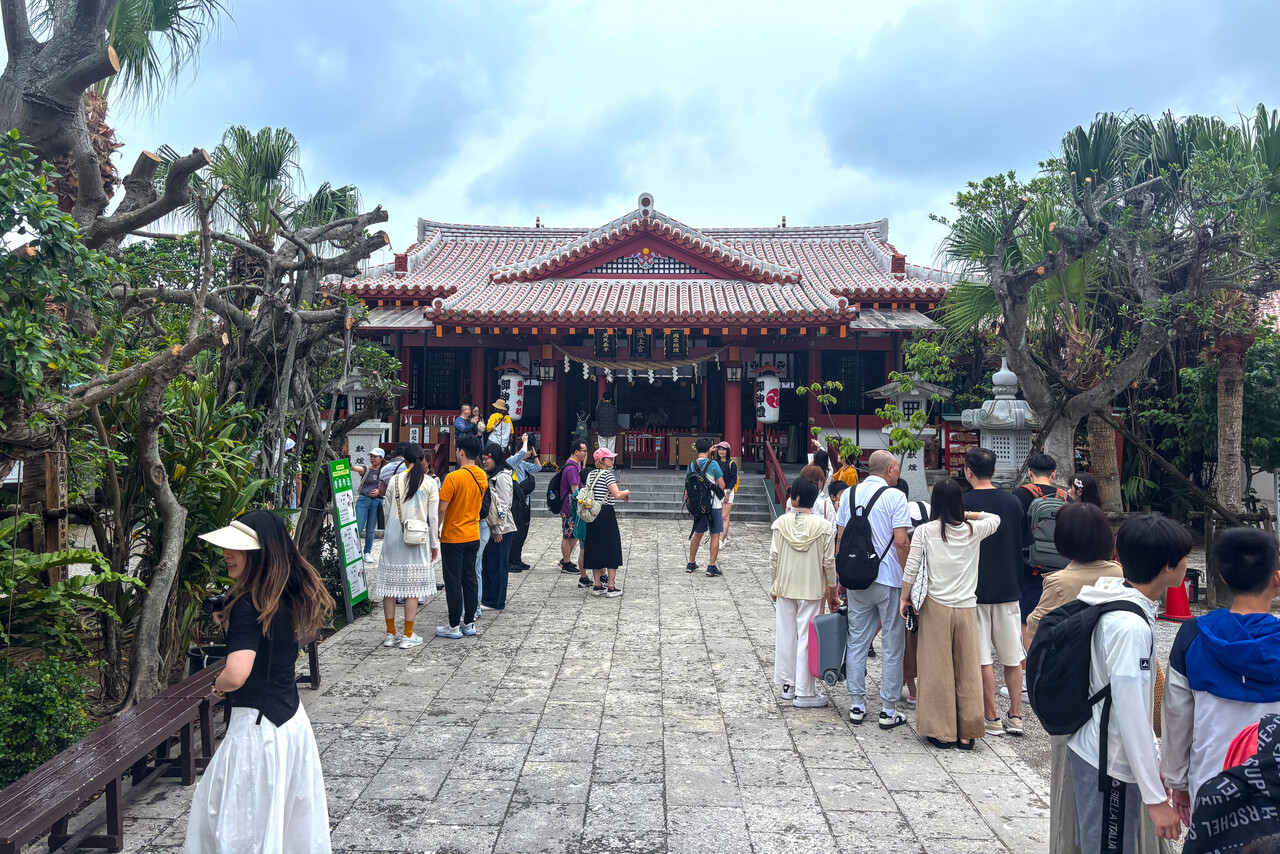
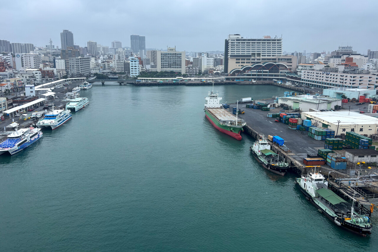
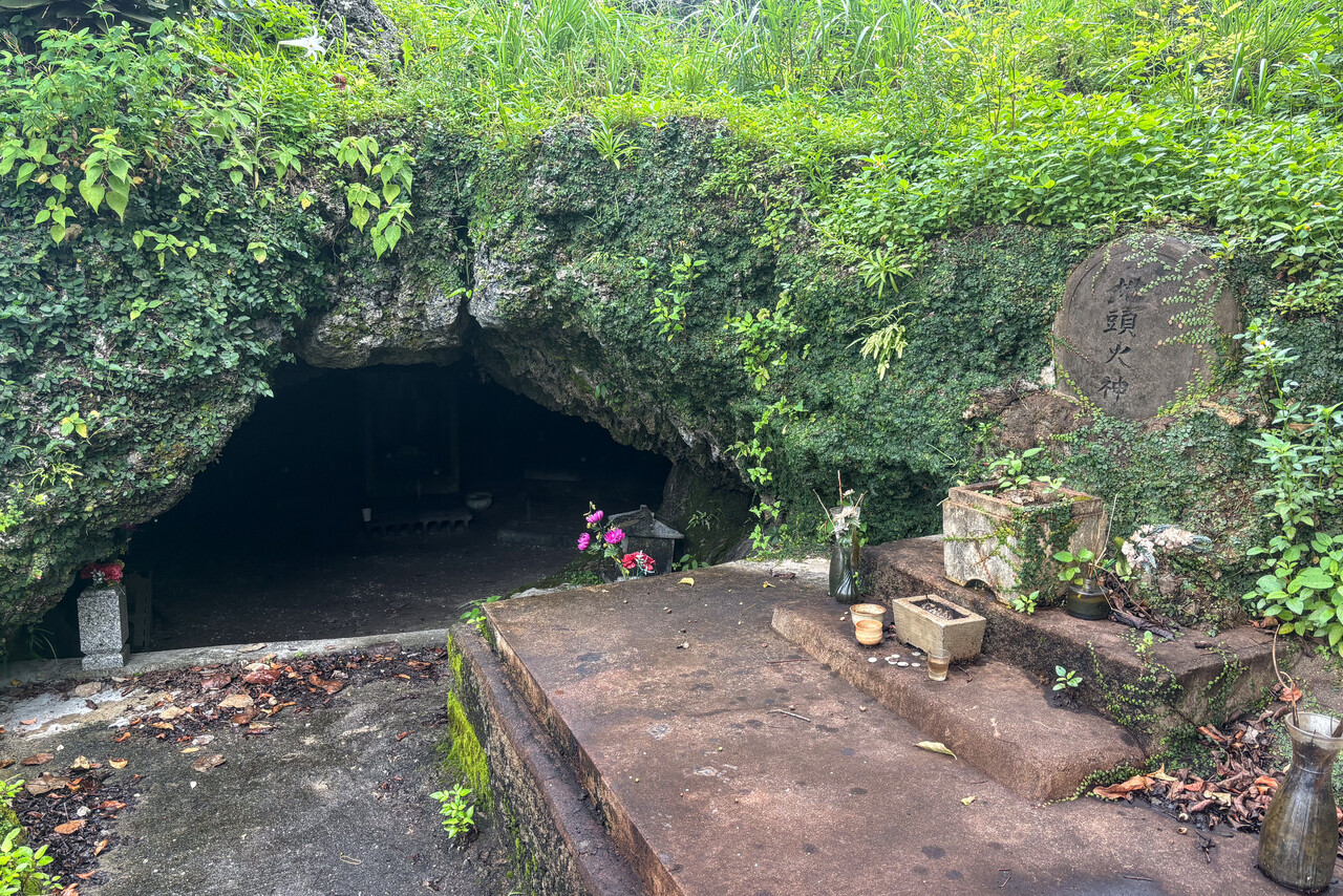
Our second day in Naha was really rainy, unfortunately. We walked to the beachfront, visited a shrine, the port of the city and a graveyard which was really very close to a Chinese graveyard, as far as I can tell.
To Japan’s major islands
Unfortunately weather forecast for our flight to Yao, RJOY on Honshu Island wasn’t great – rainy but not convective. We had no idea how to plan an IFR flight in Japan, so I just gave it a try. I planned along airways that allowed flying below freezing level and filed my plan using EuroFPL as Peter had suggested.
We were not able to refuel on the day of our arrival, so we had to do this before departure. We really don’t like to do this, but this time it worked nicely. We were a bit nervous when we requested our clearance and in fact delivery asked us to stand by, they had to check our routing. However, after a while they came back with “cleared to Yao as filed”.
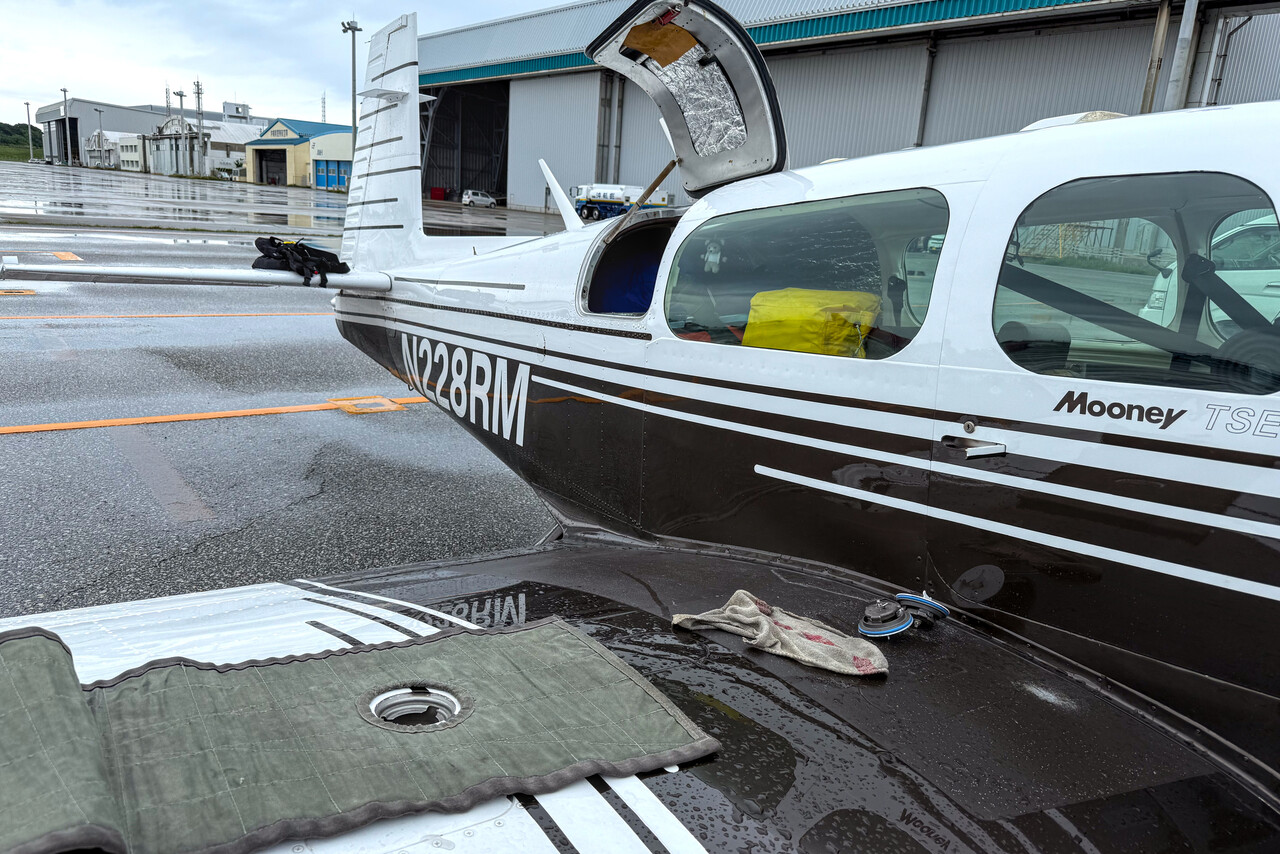
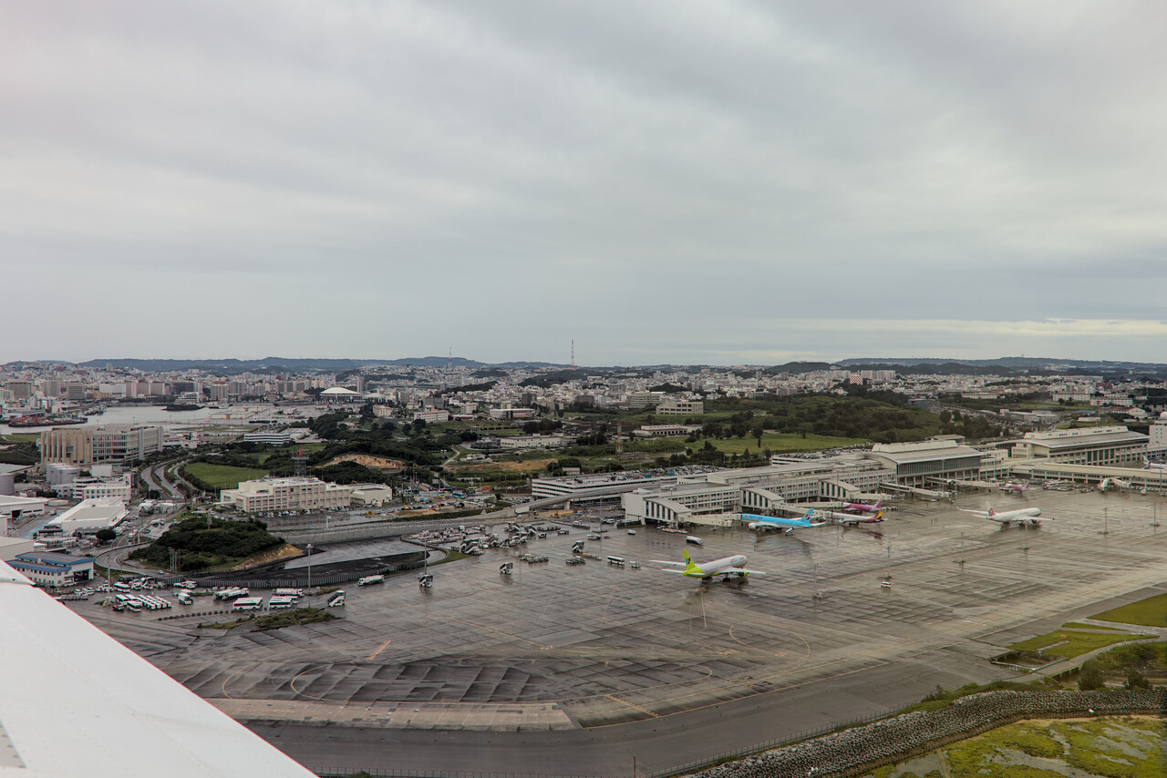
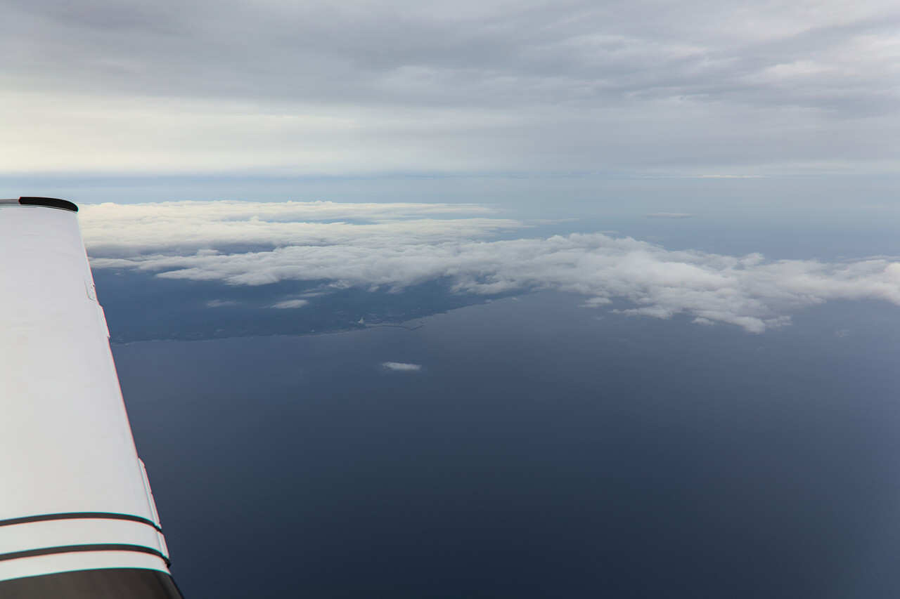
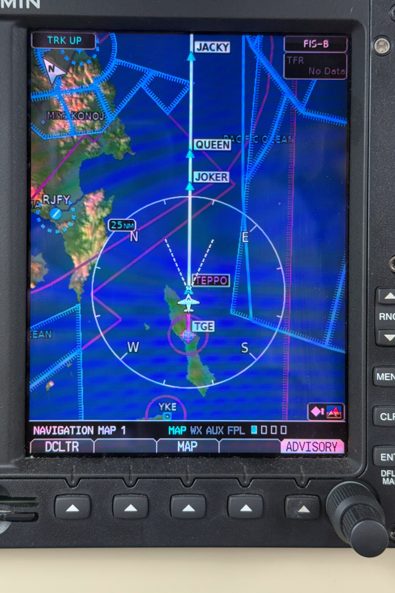
RJOY is a GA field in the Osaka area. Osaka blends with the surrounding cities of Kobe and Kyoto and many less well-known ones, forming an incredibly large built-up area. ATC offered us a visual approach what we accepted, but we really had a hard time spotting the field.
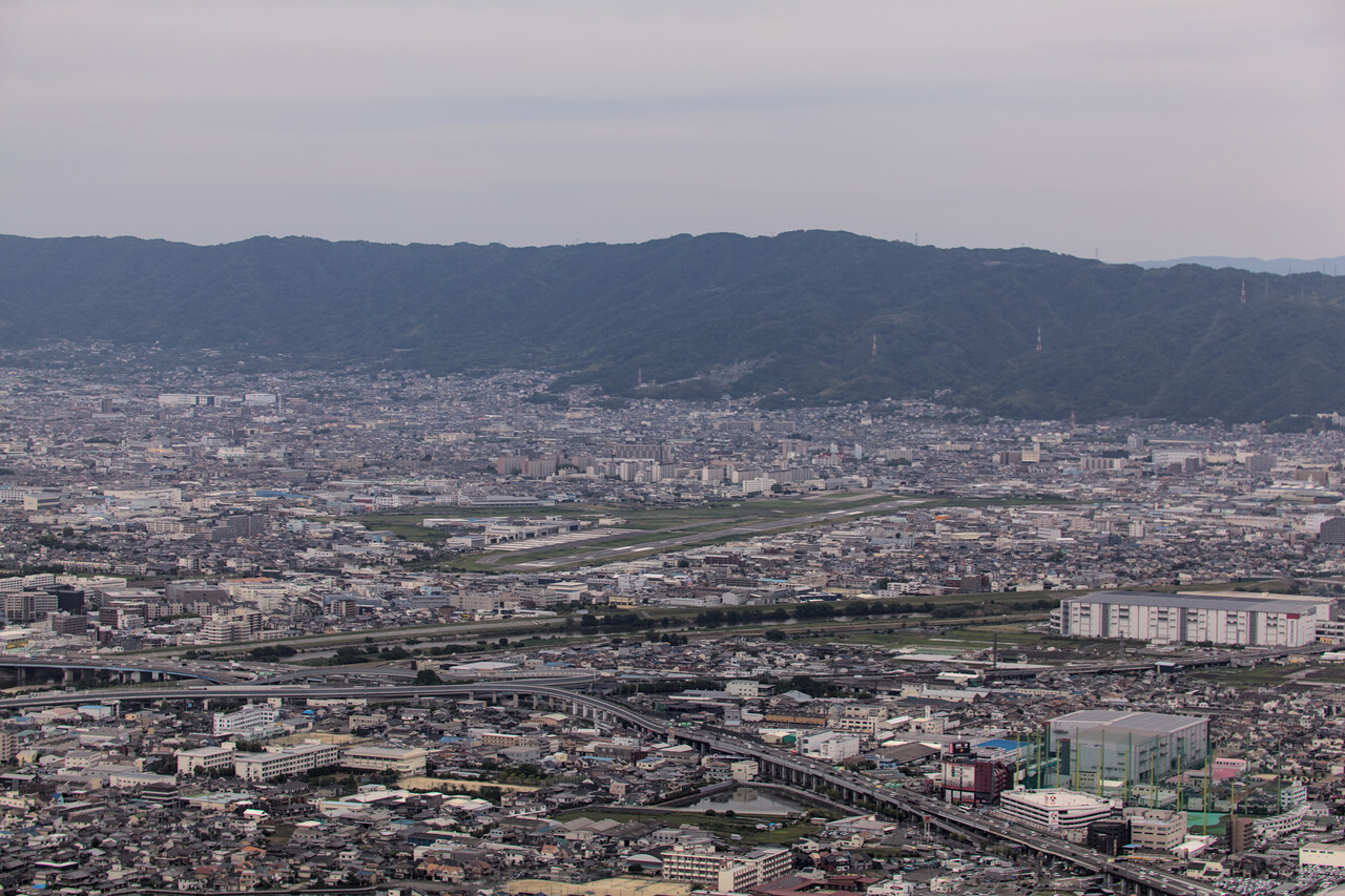
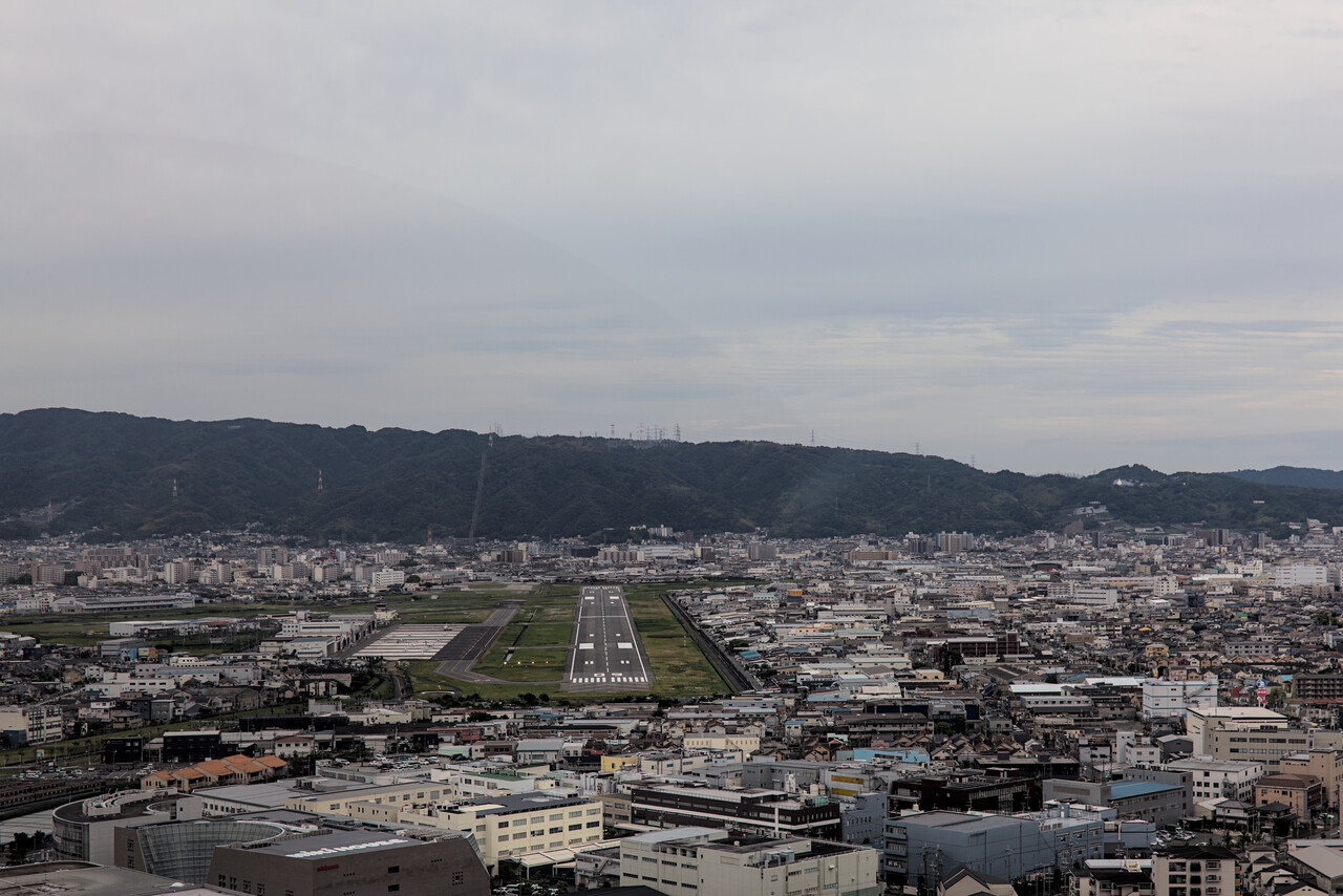
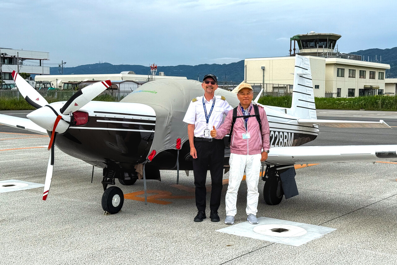
After landing we were greeted by a friendly gentleman Peter had organized to help us on the ground. His name was Taco and he was a pilot himself, now semi-retired and flying biz jets as a freelancer. He spoke excellent English and helped us with the airport administration. This took a couple of minutes only, and we were good to go. We were only granted three days parking and we didn’t want to lose precious time, so we asked Taco if he could call a taxi that would take us to Kyoto. He agreed that this was a good idea and we were sitting in a car in an instant.
Honshu
Kyoto is probably the city most visited by foreign tourists in Japan, because in contrast to most other major cities, it suffered only minor destruction in World War Two. This is a two-sided sword – of course it’s crowded, but tourist infrastructure is well developed and at least some English is spoken.
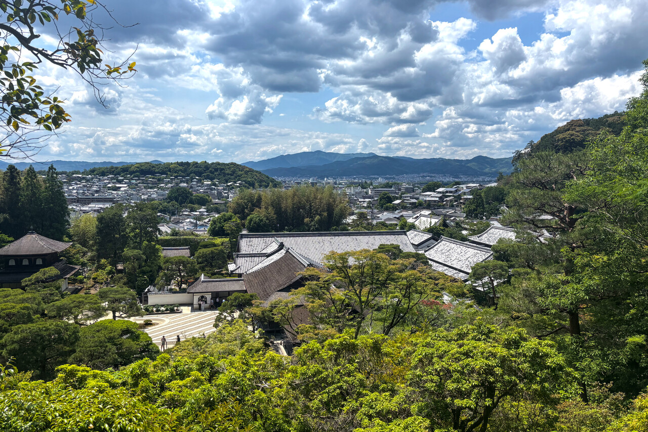
Kyoto has been the seat of the imperial court for centuries before Tokyo became the capital, and the city is packed with palaces, gardens, shrines and good restaurants. We spent two full days trying to see at least the most important sites and went to different Izakayas in the evenings.
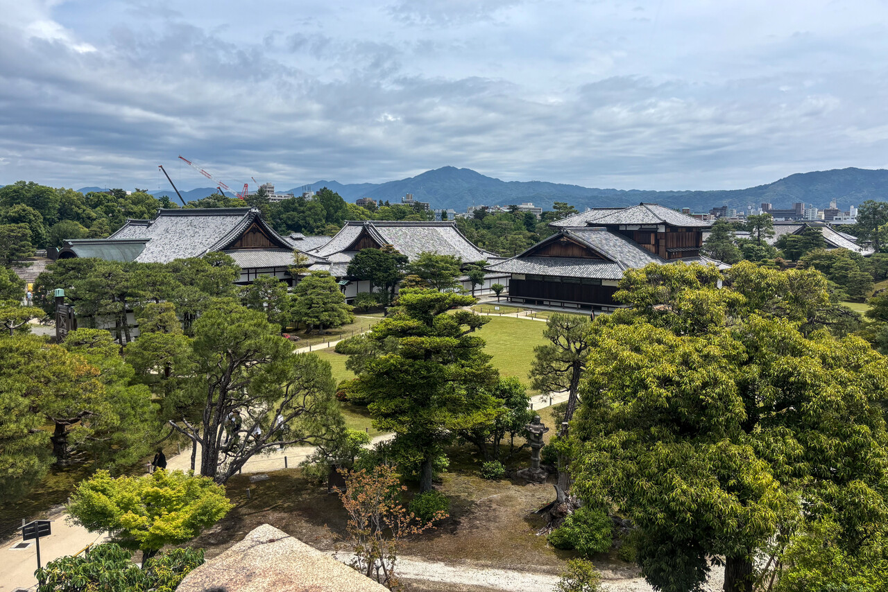
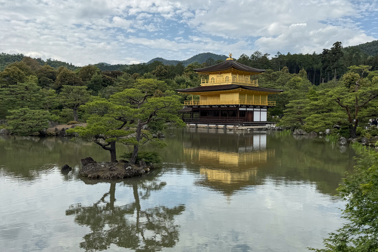
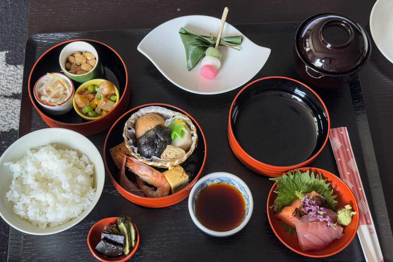
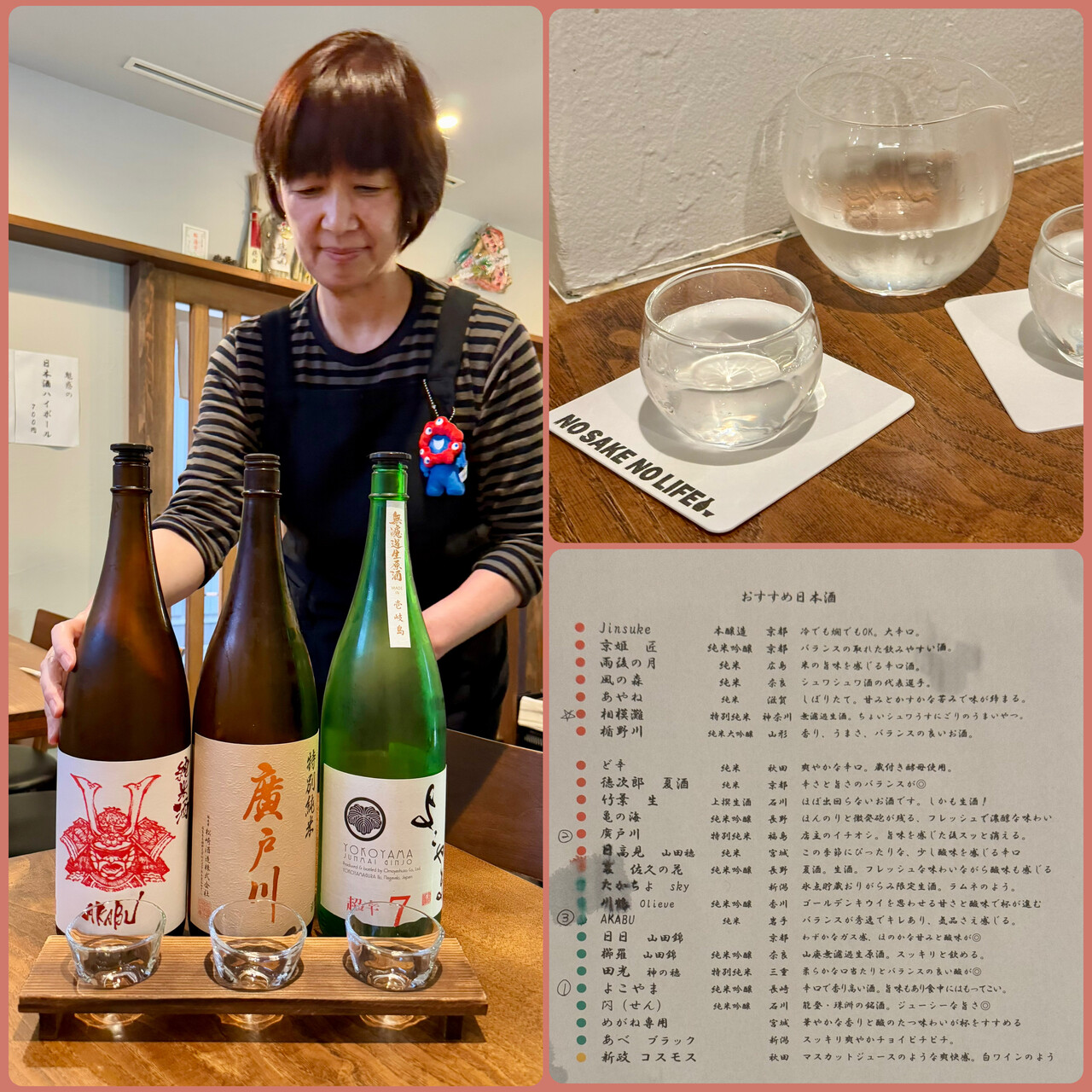
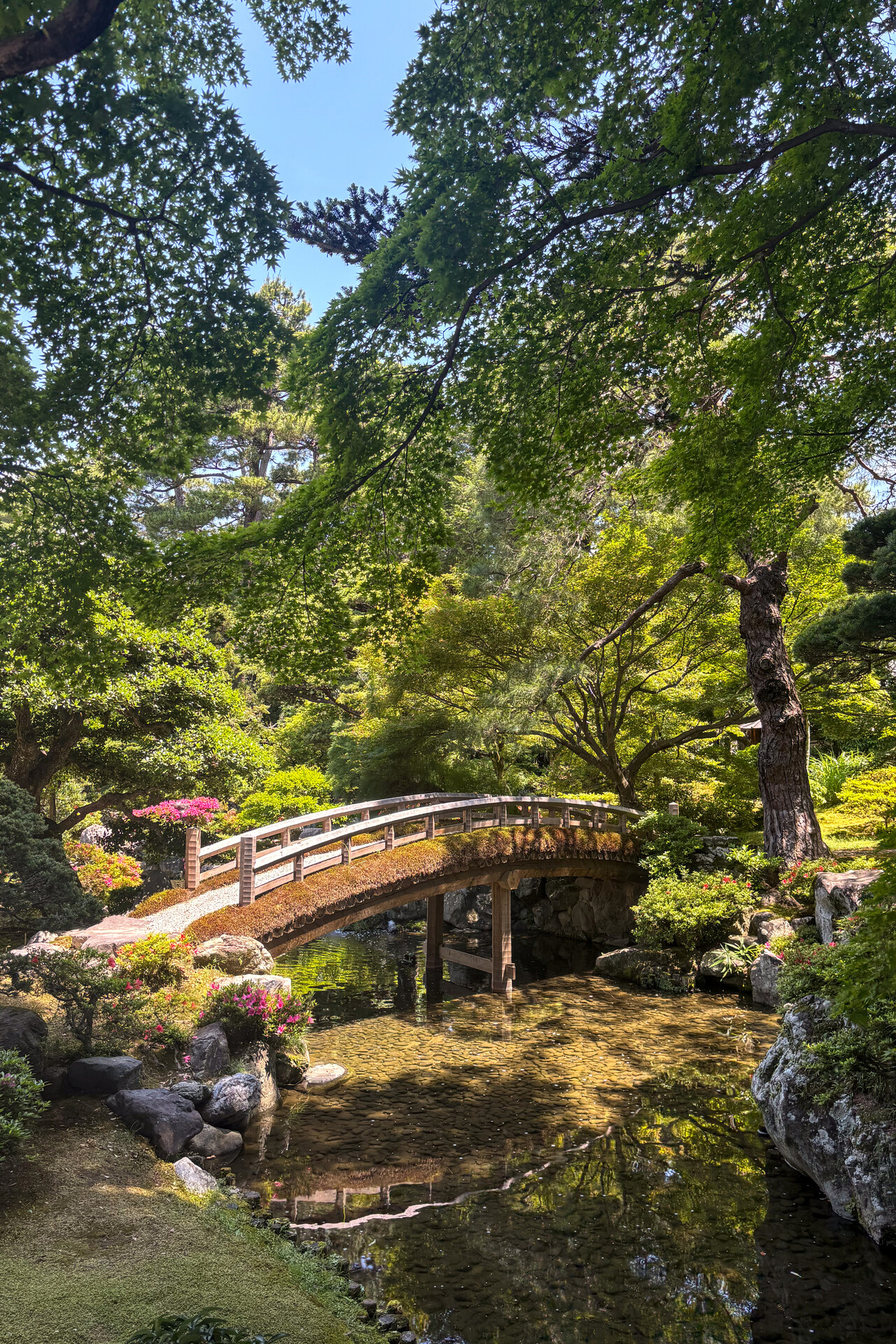
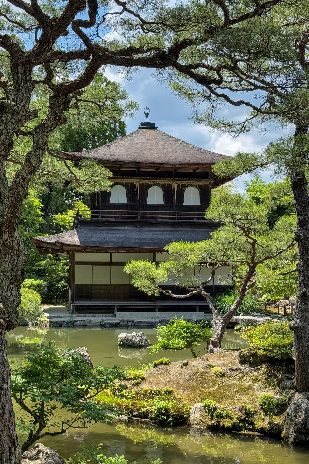
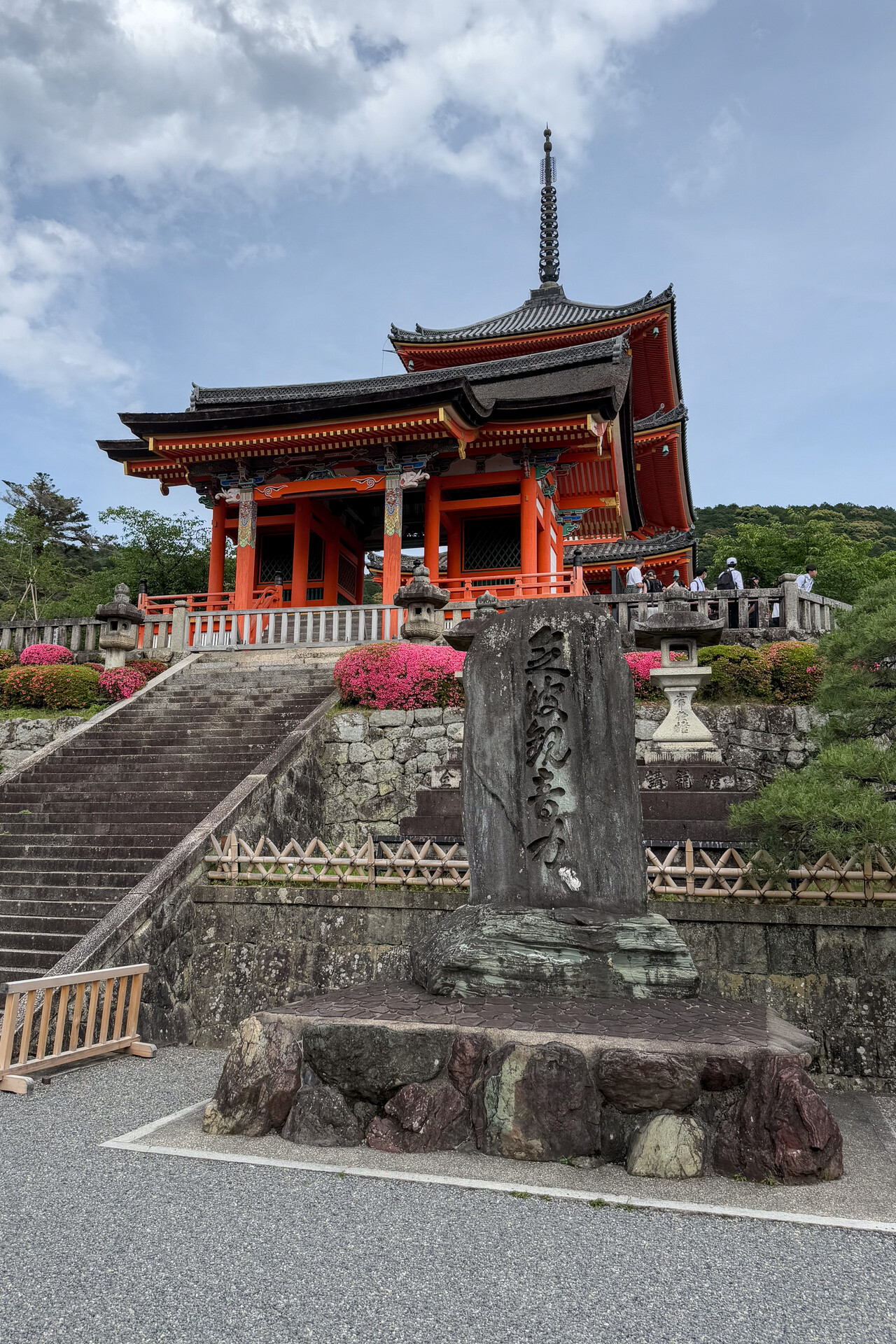
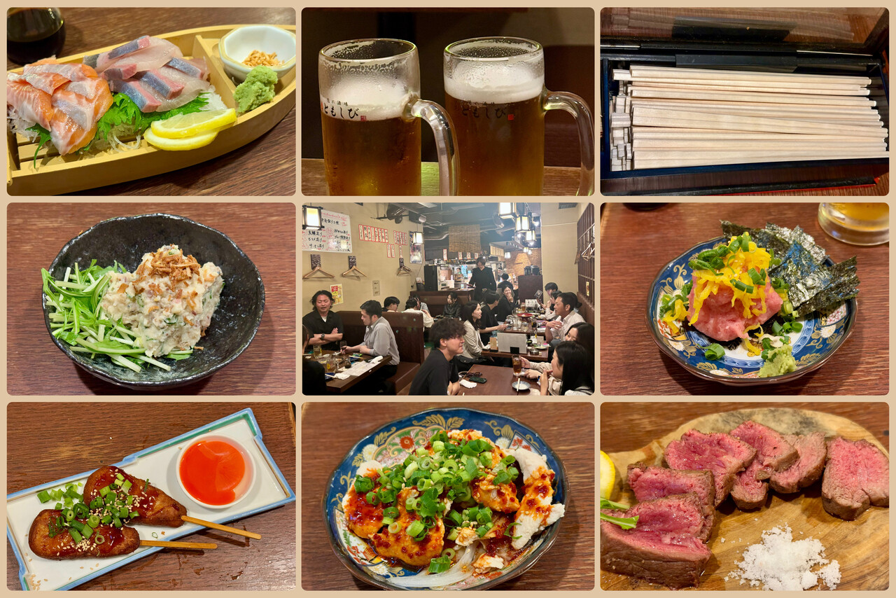
Our next leg took us all across Honshu to Sendai, RJSS. Again weather wasn’t great, especially during the first third of the flight. I had filed IFR along airways using EuroFPL again and it worked nicely. Japanese ATC were really good and friendly. Their accent was a bit hard to understand in the beginning, but after a bit of getting used to it, we didn’t have any problem.
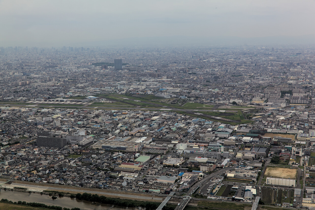
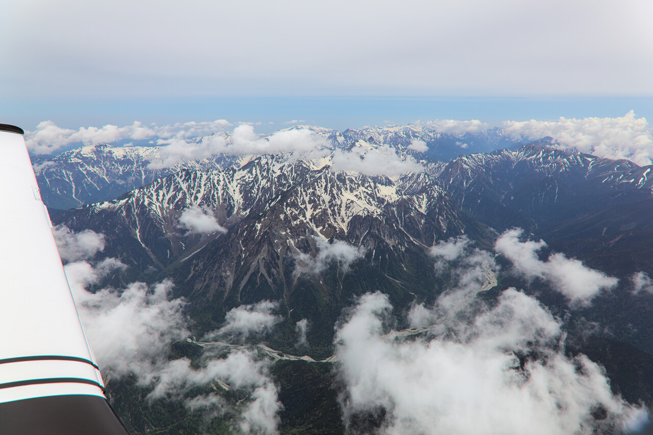
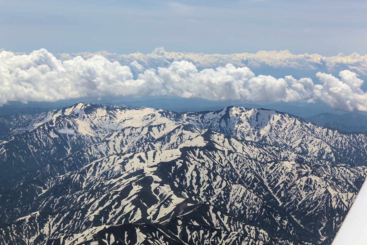
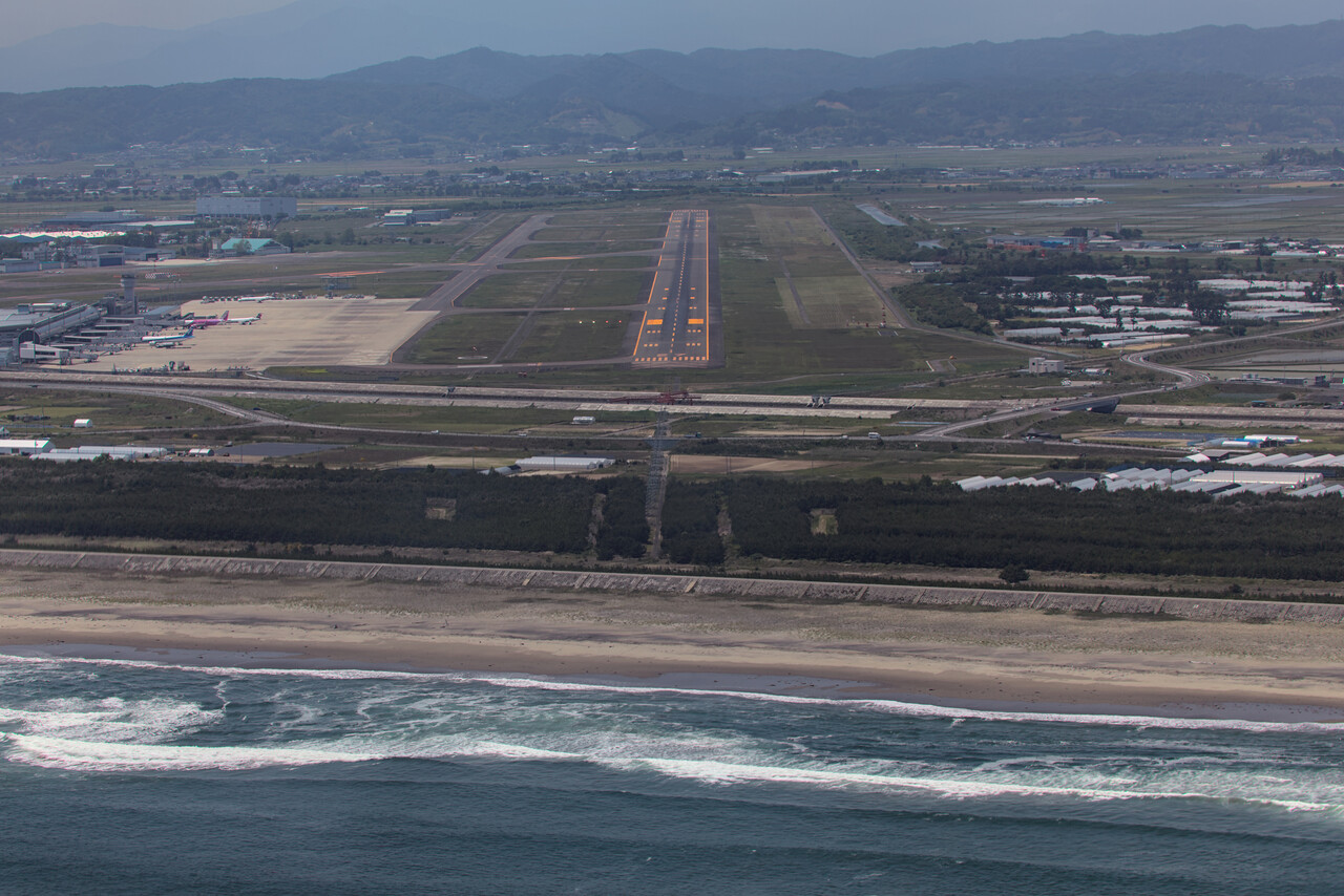
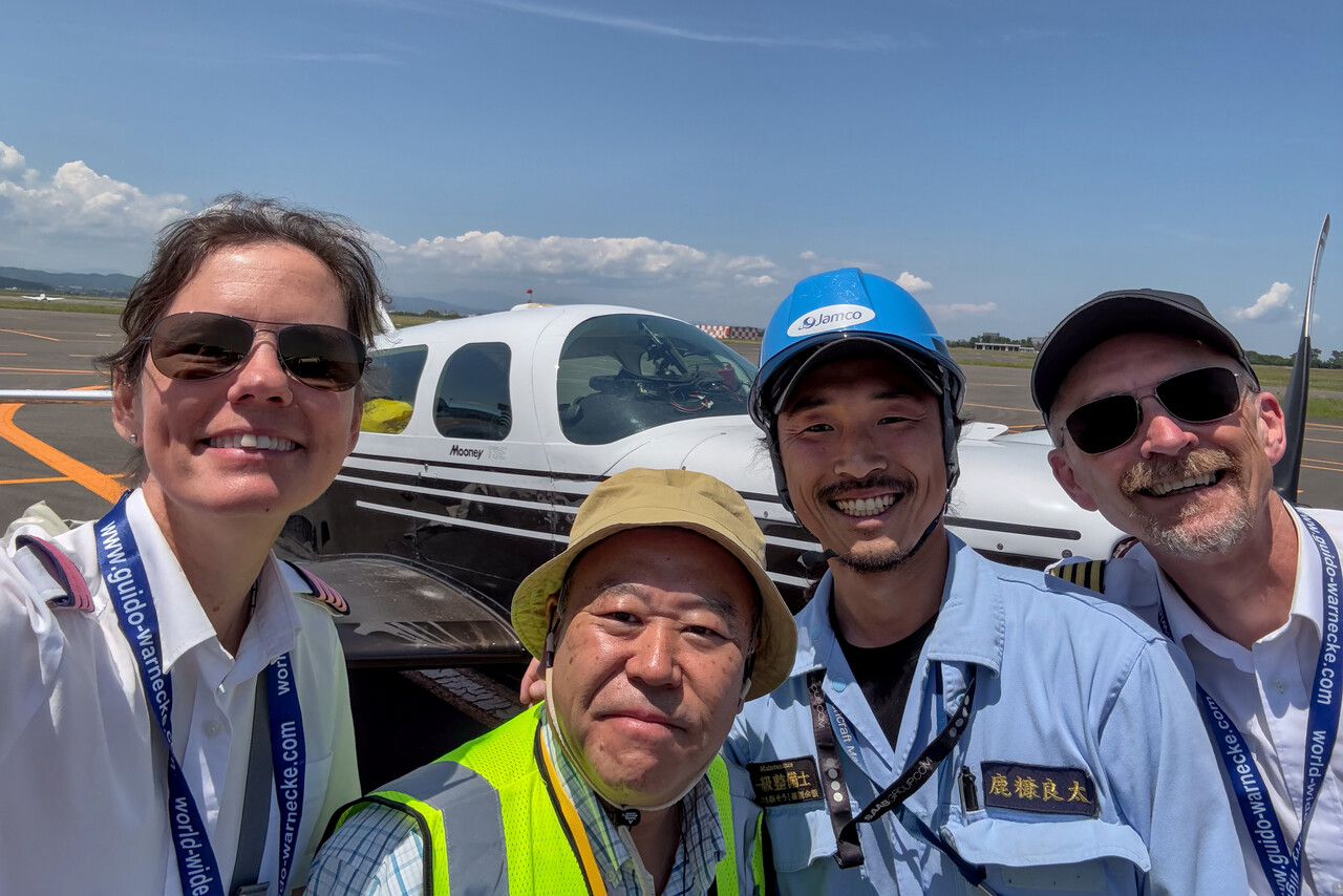
Once on the ground we were greeted by Aki, who took care of us. He was a very nice guy as well who flies a Bonanza he partially owns. RJSS is a large airport with quite a bit of airline traffic, but there is a GA ramp away from the main terminal. One can get landside and back to the aircraft without too much fuss, but this would be impossible without local help. After refueling, Aki took us to the train station of the main terminal from where we left only minutes later. It’s a bit of a distance to the city, but it didn’t take long to arrive in Sendai downtown.
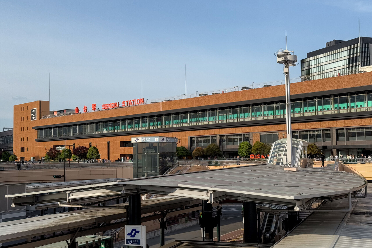
Sendai was very different from Kyoto, it’s not a touristy place at all. It has been heavily bombed in the war so there are not that many historic sites to visit and probably there weren’t that many in the first place. Anyway, there are a few nice places to visit, but we found it even more interesting to experience a completely normal Japanese city.
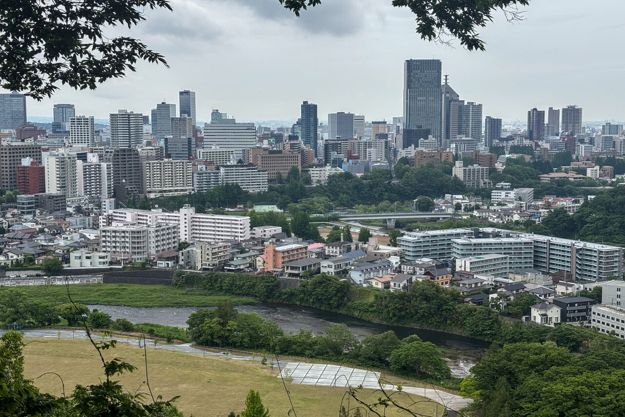
Sendai, as most of Honshu, usually has hot and rainy summers, and in fact it rained a lot while we were there. This gave us time to not only sample the local speciality which is beef tongue but also try sushi at two different restaurants.
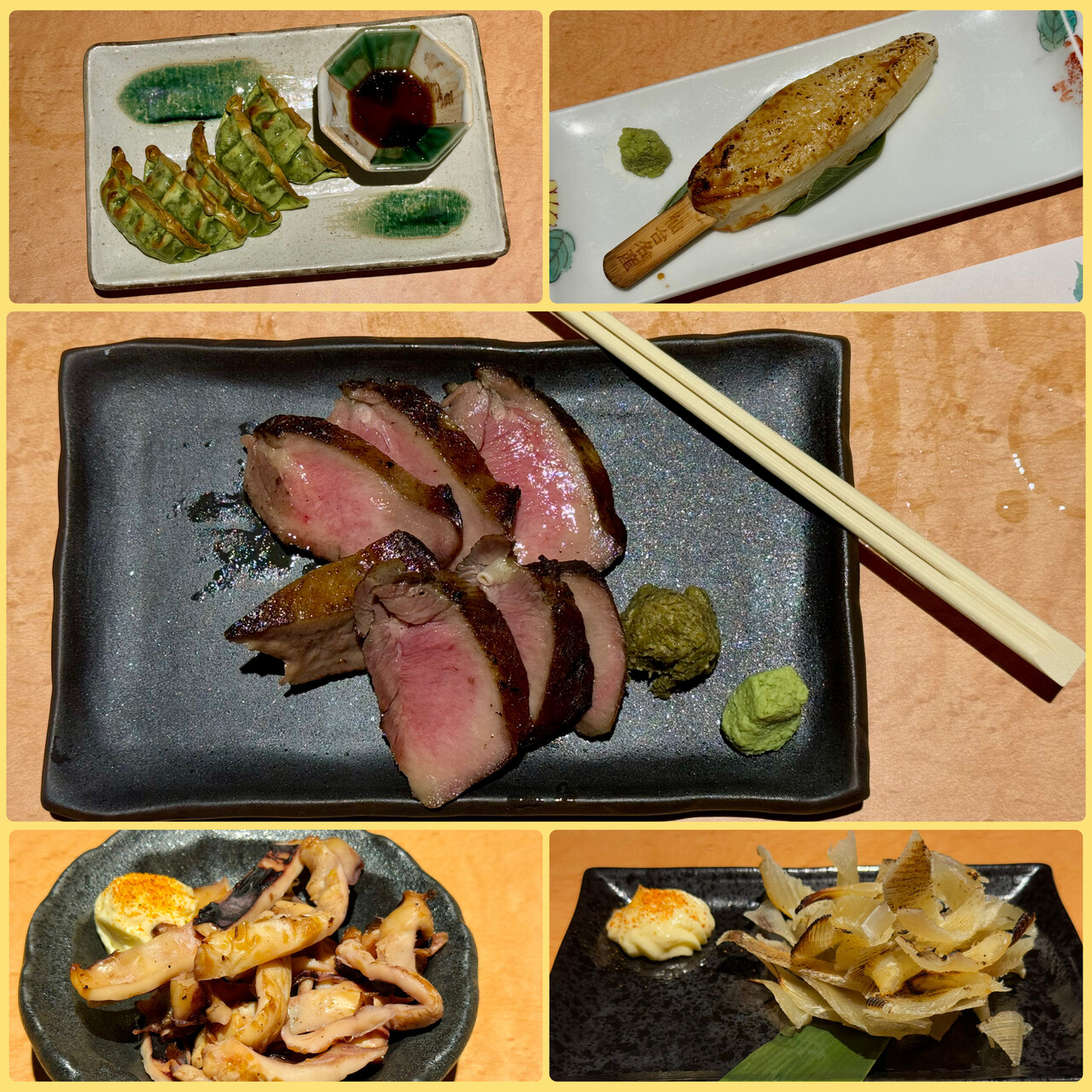
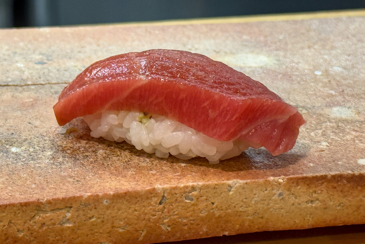
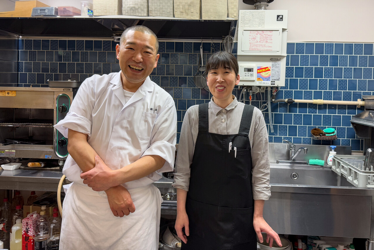
One evening we went to a mom-and-pop style sushi restaurant and, needless to say, the menu was Japanese only. We were sitting at the counter where we could see him preparing the fish while she served us and a few other guests. As usual, we used Google Lens to translate the menu and DeepL on an iPhone to communicate. People are incredibly friendly in Japan and sometimes even feel embarrassed that they don’t speak English. Our dinner went really well, we had a lot of excellent raw fish and were finishing our second beer when we asked for the check. She seemed to be a bit hesitant but then showed us her phone where she asked ‘What are you doing in Sendai?’. Tina wrote ‘We flew here in a small aircraft from Europe.’. She called her husband and we had to show pictures and type a lot in DeepL. They invited us to have another beer and all the typing on the phone took really long.
As mentioned, sightseeing was a bit hampered by the rain, but we were able to visit the ruins of the old Sendai Castle and another Shrine that survived the war. On the last evening in Sendai we went to a more upmarket sushi restaurant. The food was probably even better than the day before, but the atmosphere was not half as good.
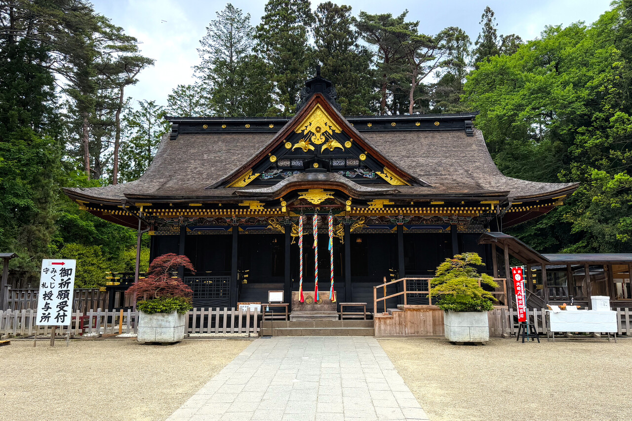
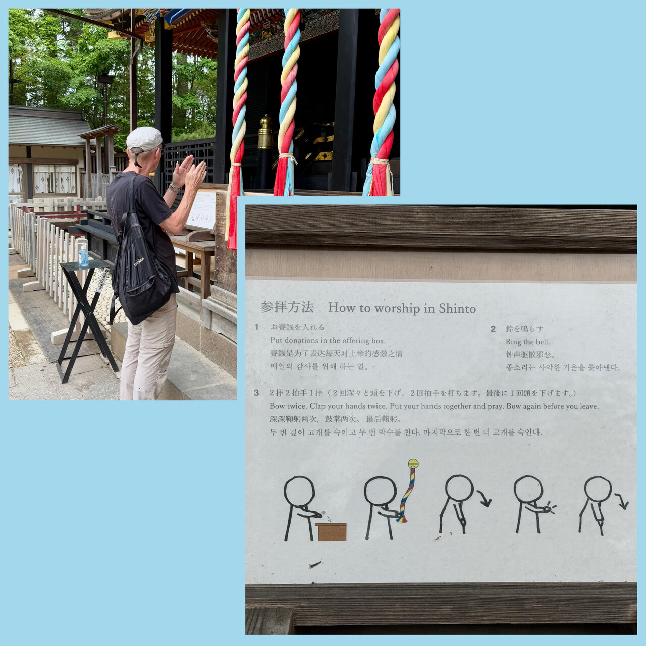
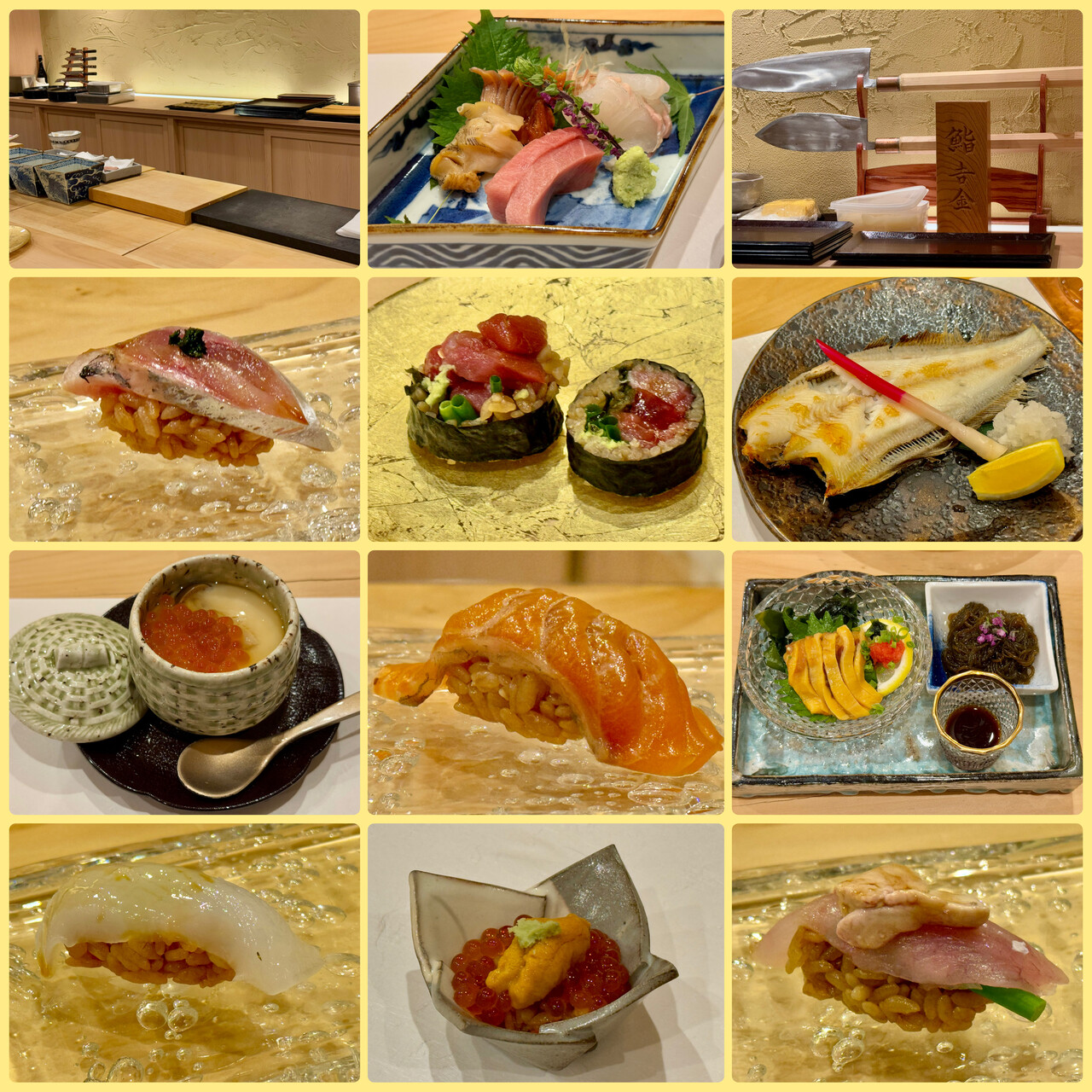
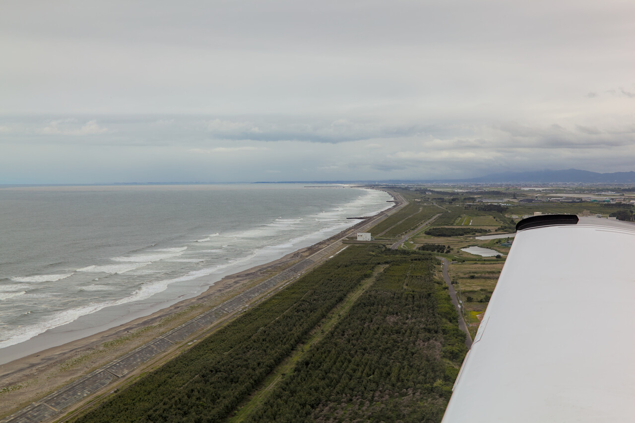
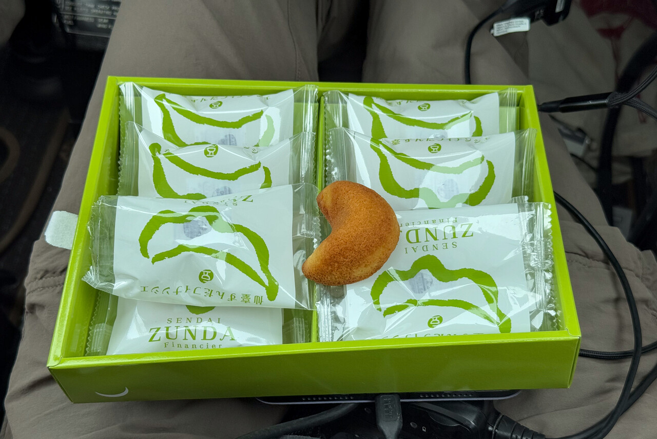
The flight from Sendai to Obihiro, RJCB on the northern island of Hokkaido, was the last domestic leg in Japan for us. Aki picked us up at our hotel, he lived quite close by, as he told us. He even gave us a box with local cookies as a present. Catering for the two and a half hours flight, he said.
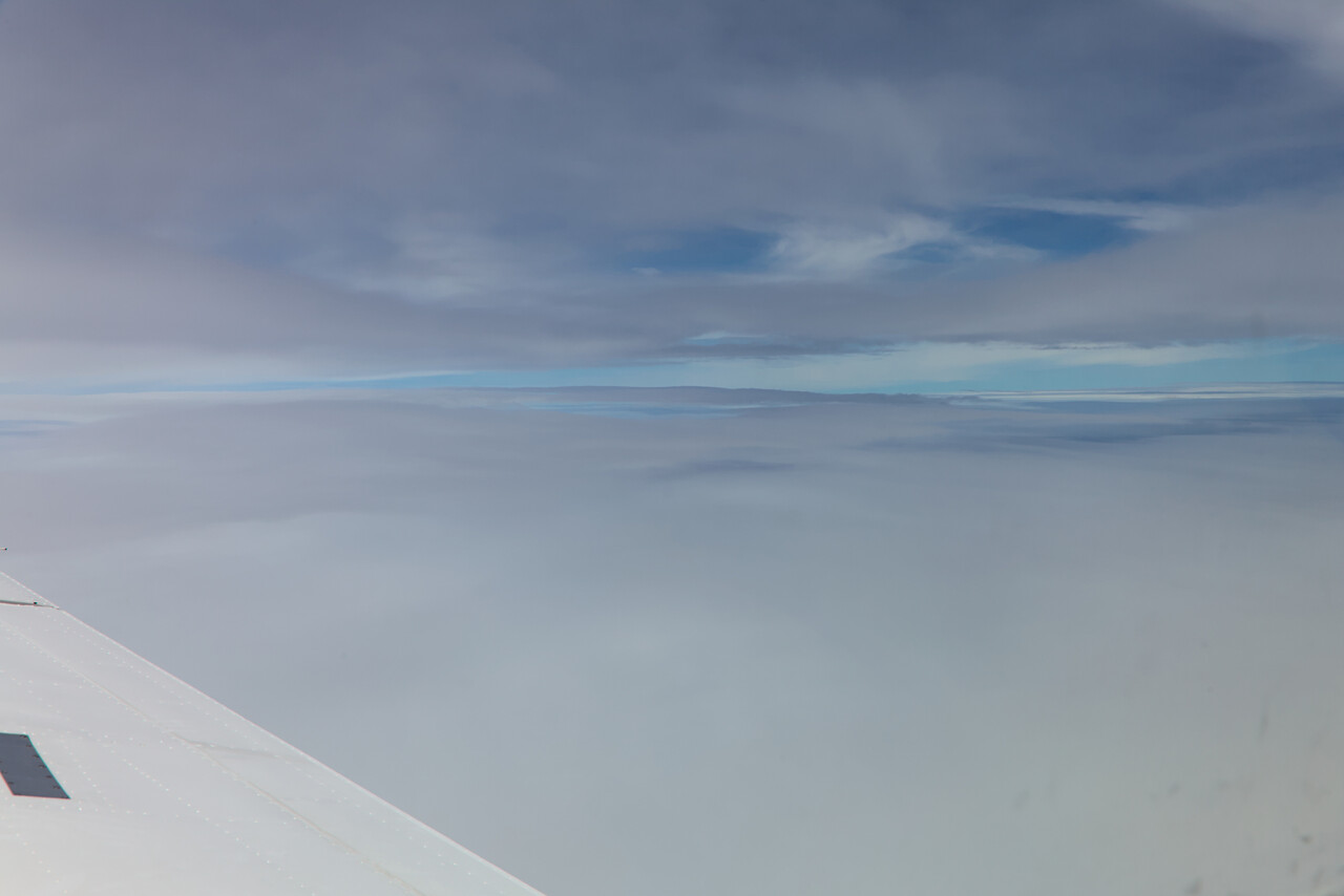
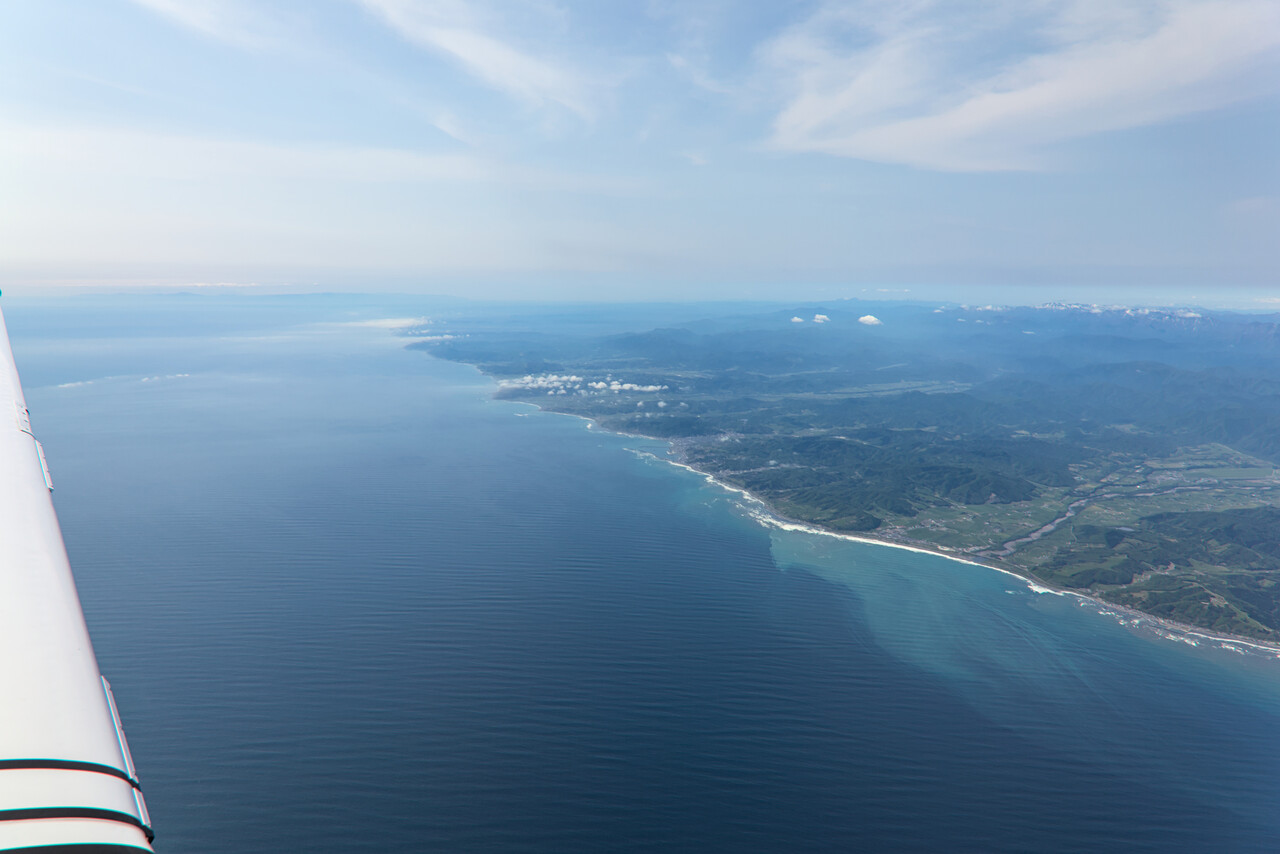
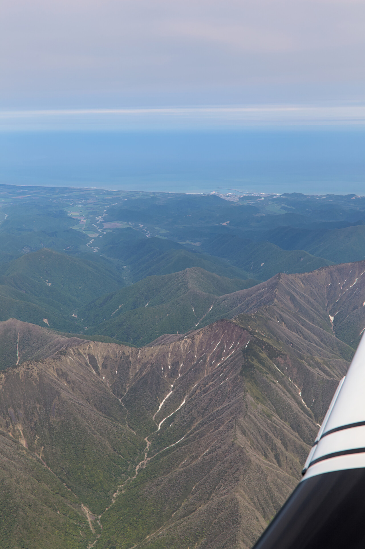
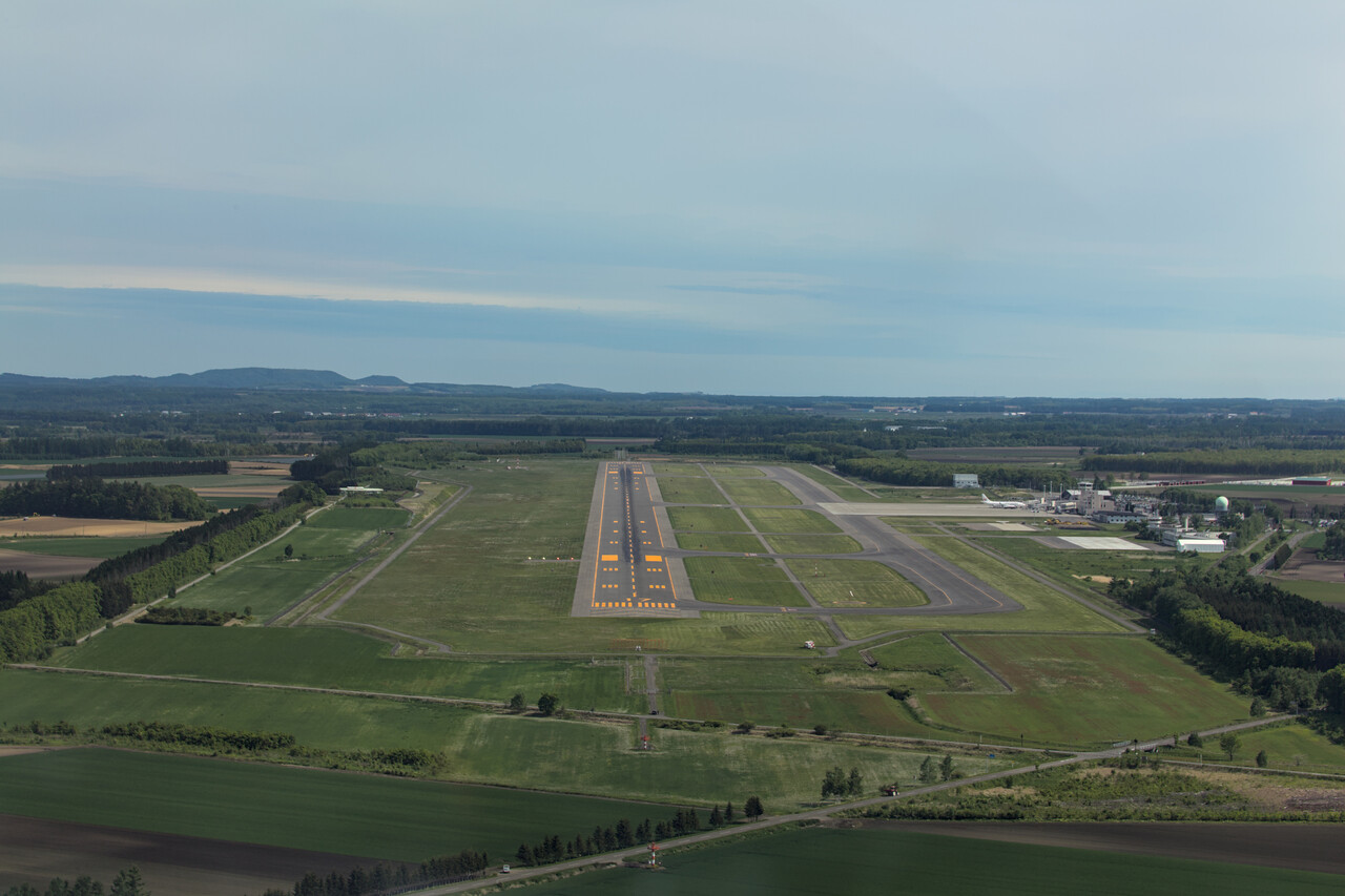
Unfortunately weather wasn’t great once again. Ceiling was low, the summer months are apparently not that great for flying in Japan. At least it cleared up when we reached the coast of Hokkaido and we were granted the visual approach into RJCB we had asked for.
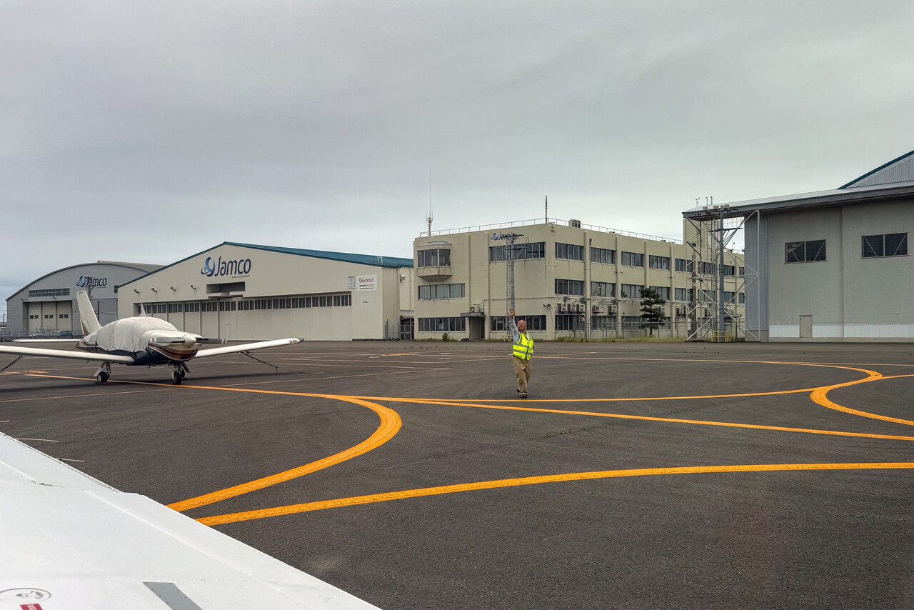
Hokkaido
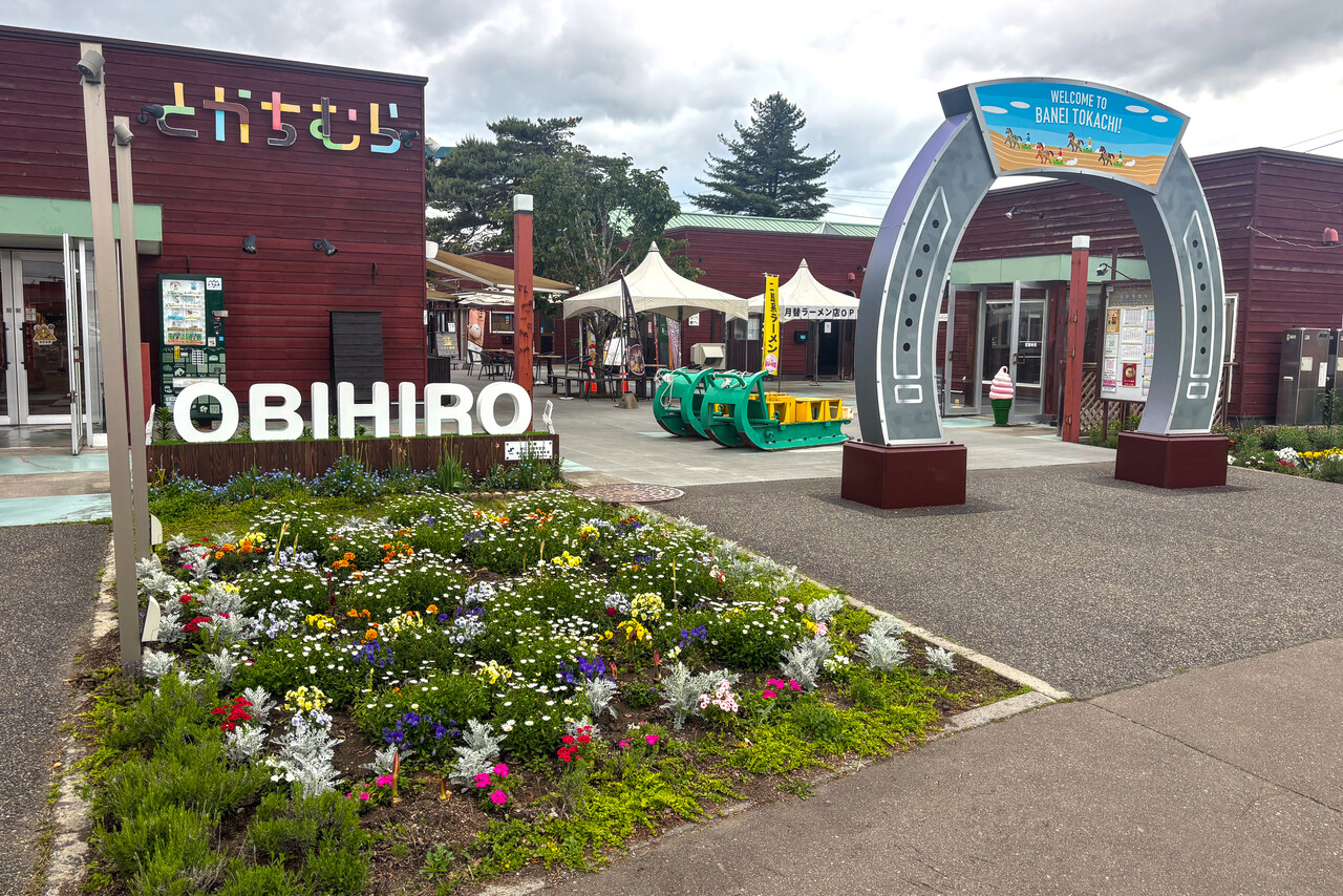
Obihiro was our last stop in Japan for practical reasons – there is Avgas available and Peter was able to arrange C&I. Moreover, it’s really uncomplicated for a Japanese airport. Peter didn’t have anybody there to help us, but we didn’t need anybody. He had arranged everything in advance though. We were assigned to a stand on the main ramp and the fuel truck arrived shortly after we had shut down the engine. A friendly guy working at the airport spoke a little English and was eager to help. He came out to the ramp and told us how to get landside once we were done.
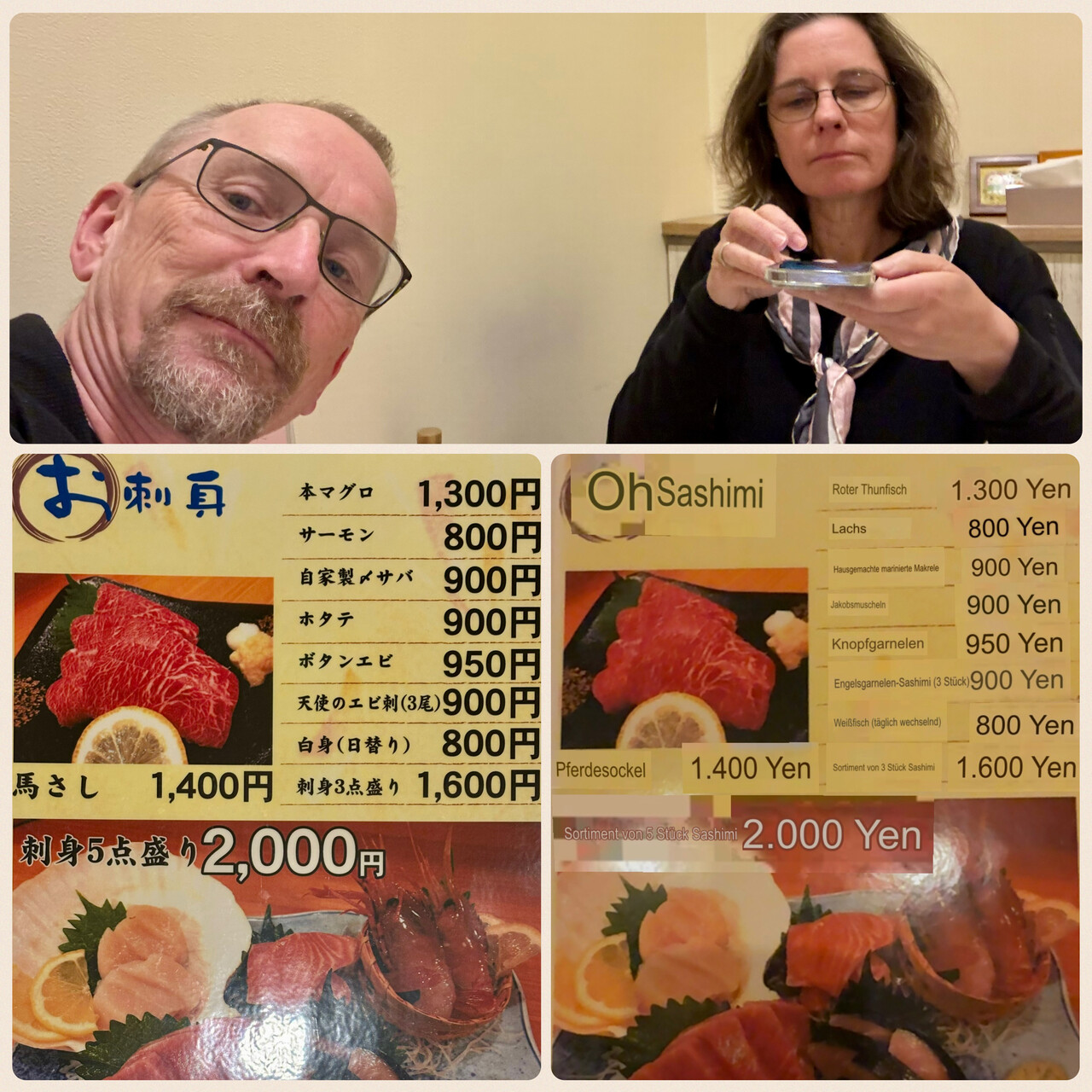
Few, if any, tourists find their way to Obihiro. That’s for a reason, there’s not much to see, OTOH it makes for an authentic experience. As mentioned, eating in a restaurant was only possible with Google Lens and DeepL. Despite all technical progress that has been made, this was still a bit adventurous and sometimes really funny.
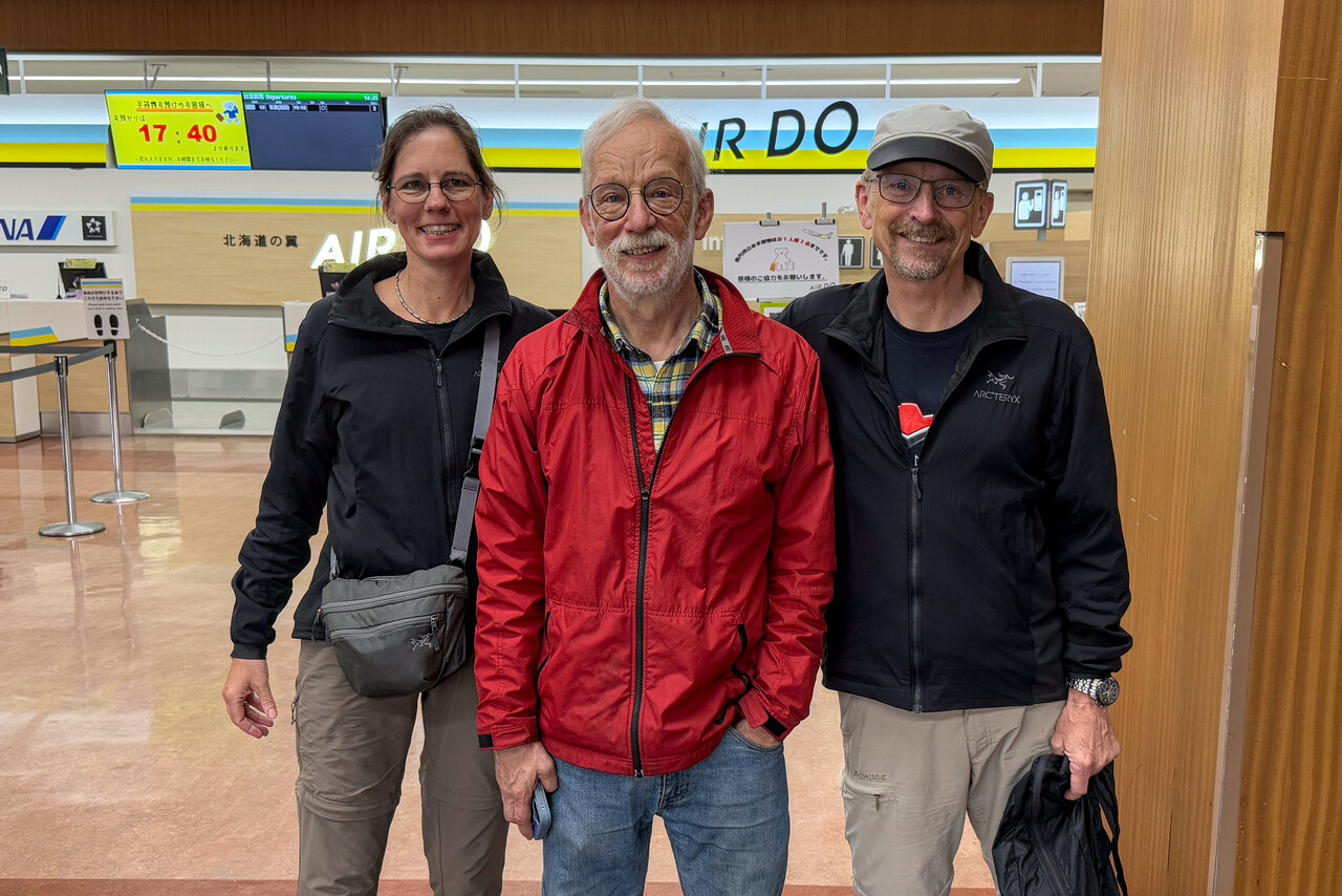
Peter flies a Maule and lives on Hokkaido, not too far from Obihiro. He offered to meet us for lunch at the airport the next day what we happily accepted. He flew over in his Maule, we had lunch and a lot to talk about. We showed him our Mooney and he showed us his Maule, and of course we were very curious about his life in Japan. Later we took a bus back to town and he flew back home.
Peter suggested that we could take the train to Kushiro the next morning as Obihiro was a bit short of sights. As the train doesn’t take long, we were happy to do so.
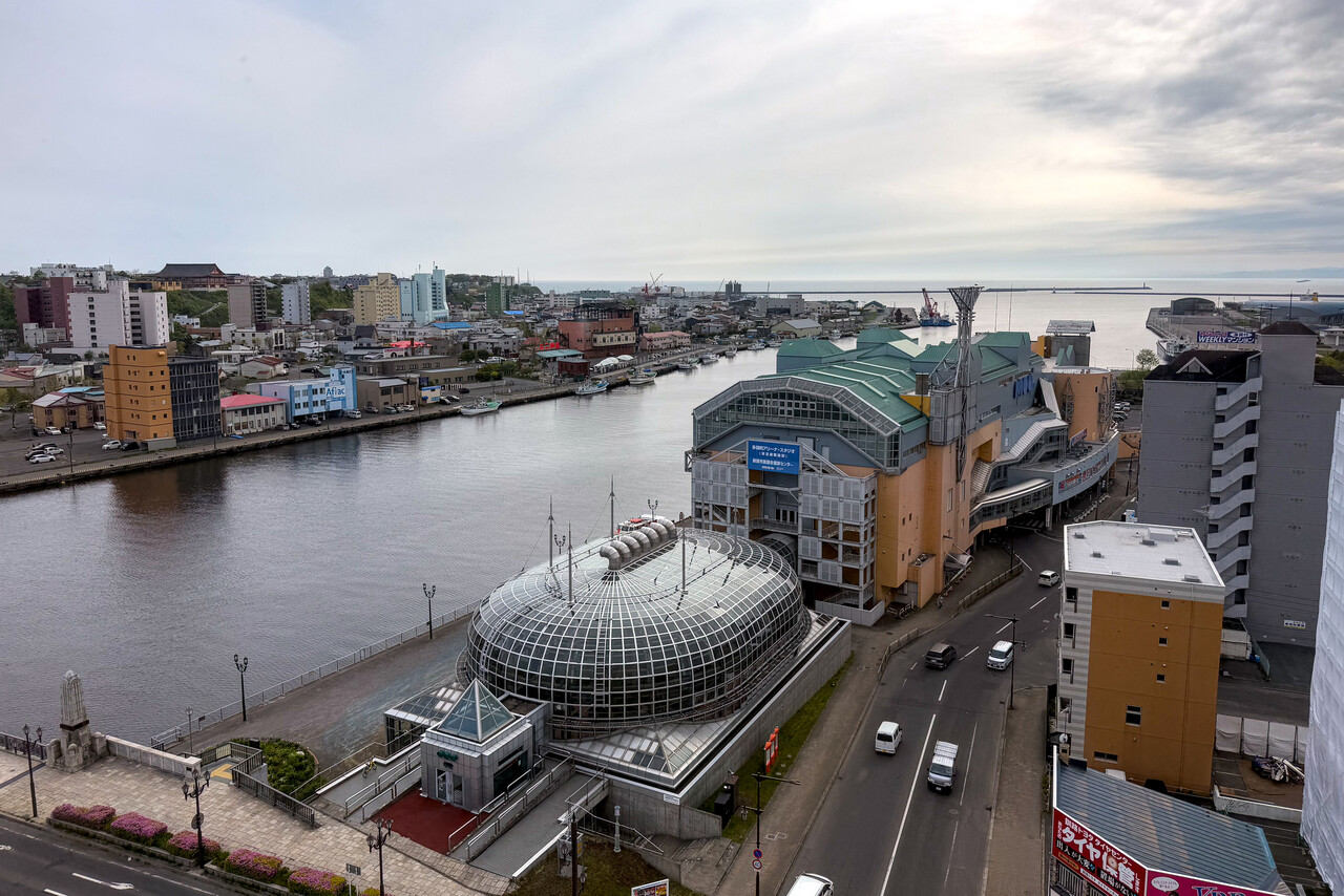
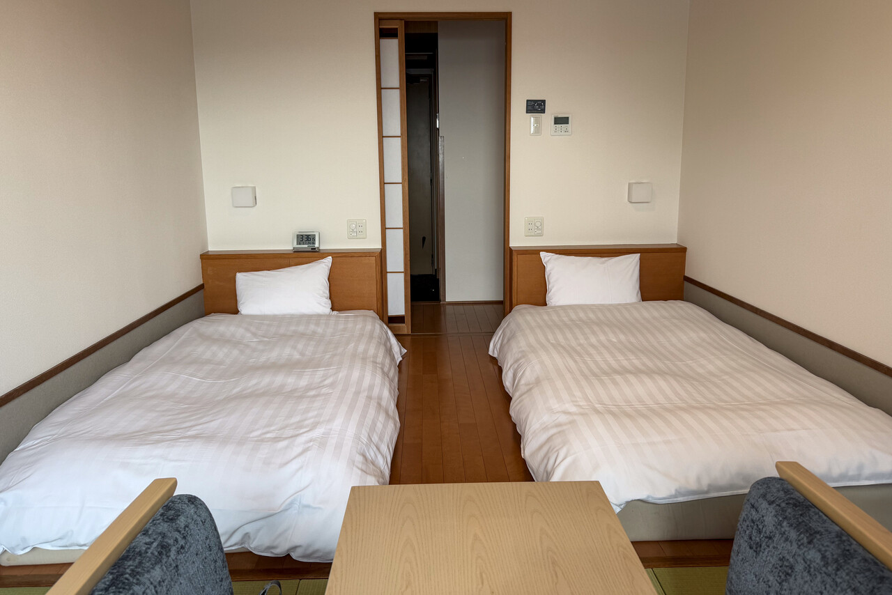
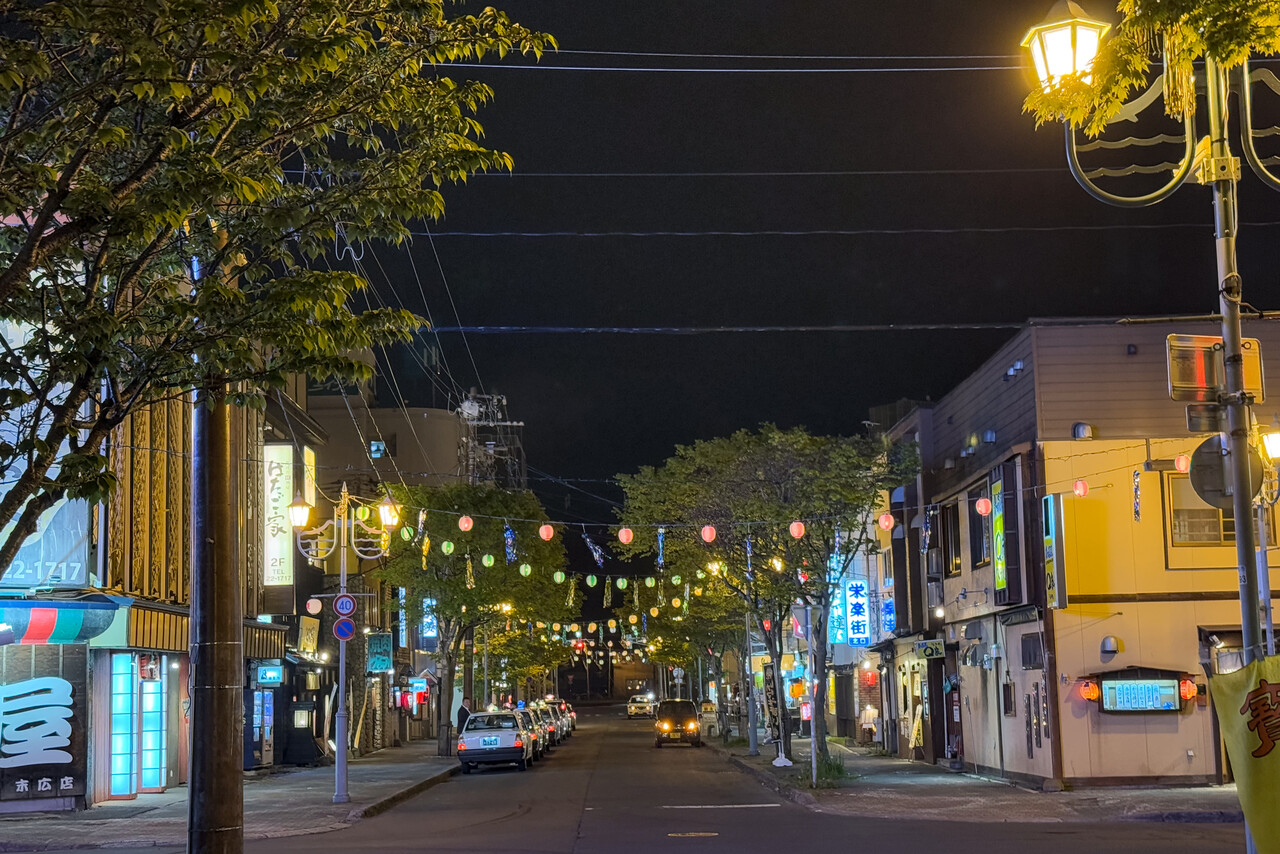
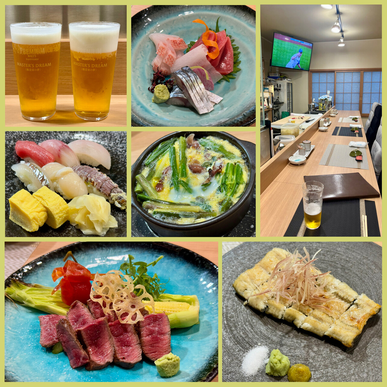
Kushiro is a bit livelier and its location on the Pacific coast is quite scenic. However, half a day is plenty to see the sights. We booked a hotel with an Onsen and chose a traditional Japanese room. There were plenty of good restaurants to choose from in Kushiro’s amusement district.
The Monster and its little friend: The North Pacific
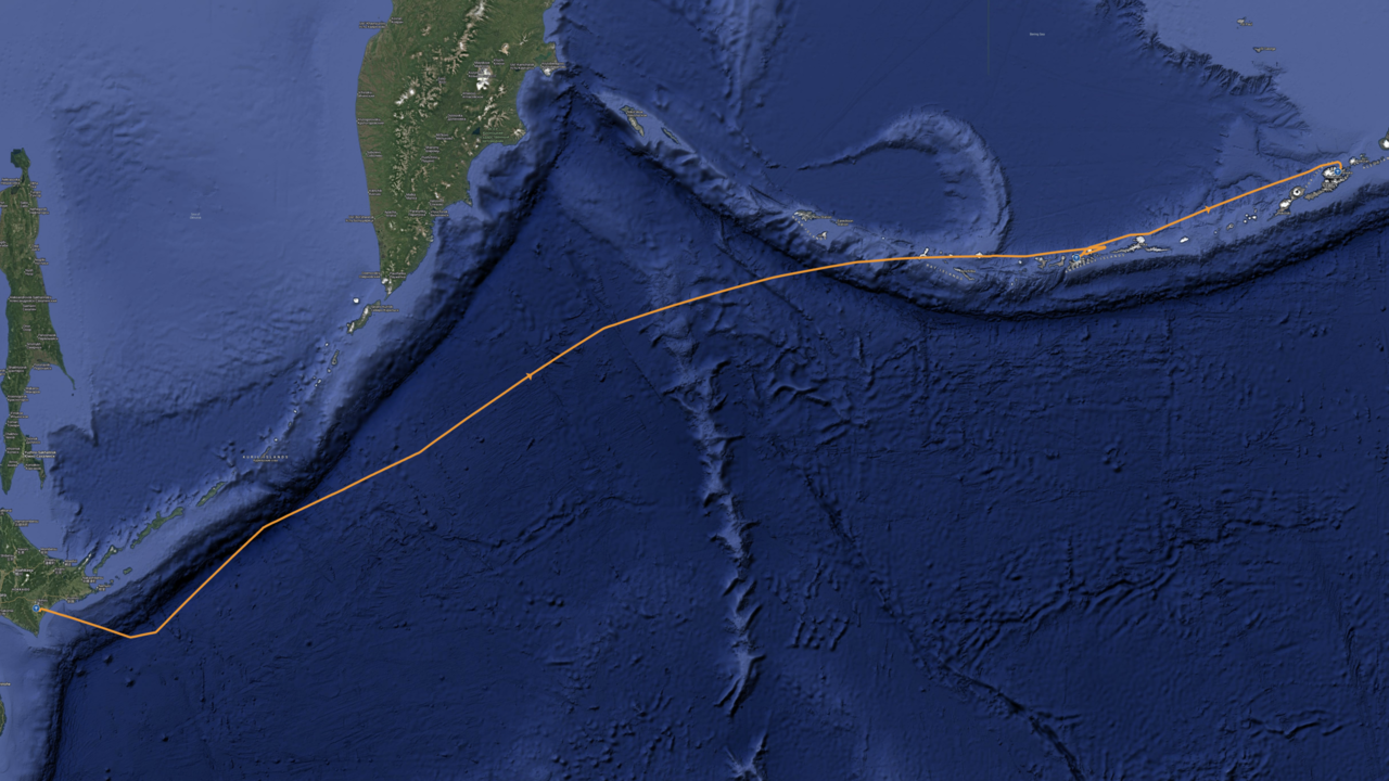
We finally really did fly across the North Pacific with our little Mooney, from Obihiro, RJCB to Adak, PADK and on to Dutch Harbor, PADU. It’s no exaggeration to say that the flight from RJCB to PADK dominated our lives for a couple of months. We prepared for it as thoroughly as we could, and of course we talked about it daily. At some point we started calling it the Monster. That it was to get a little friend wasn’t clear in the beginning.
Preparation
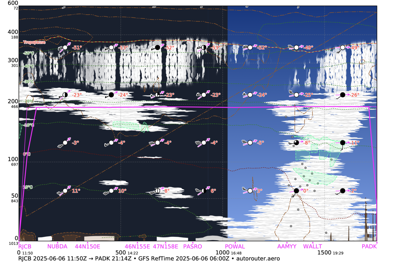
First of all and most obvious, this flight would be long. The great circle distance from RJCB to PADK is 1,700 nautical miles. However, the shortest route crosses Russian airspace which was blocked for Western aircraft (not that we were keen to fly there). Of course, all depends on the wind, but even with some tailwind we would only be able to fly this leg at around Carson speed, lean of peak. Even in favorable conditions that meant at least ten hours flight time.
Adak is a remote island at the far end of the Aleutian Arc. The Aleutians suffer from poor weather with low clouds and high winds year-round, but to make things worse, during the summer months the risk of fog is very high. As the island is really remote, there are no reasonable alternates. Moreover, getting weather information for PADK is difficult. An automated METAR is about all you can get. There is no TAF, no weather radar and not even satellite IR, as it is too far north. So all you have before take-off is the numerical models shown in Windy or some such, and that doesn’t give you a very comfy feeling.
The flying aspect is not all, though. Normally there is no Avgas in Adak, but we had solved that problem beforehand as described in the very beginning. The first and only airport on the way to Anchorage that has Avgas is Cold Bay, PACD, about four hours from Adak.
The other thing that made life complicated for us is that Adak is no port of entry into the US and Cold Bay isn’t either. We knew that others had landed in Adak from abroad, so it was definitely possible. The only way to find out how this could work was to ask CBP directly. Tina trawled the internet months before we left and found a few email addresses. On her first email she got the immediate reply “not our business, but try this and that”. After a few hops she had a phone number of an officer in charge in Anchorage. She called and was told to explain our case by email to another address. After several more emails and phone calls she finally got in contact with a competent CBP officer. He said “OK, I understand you want to land in Adak, coming from Japan and enter the US. Adak is not a port of entry and unmanned, so what do you want to do?”. We suggested that we would land in Adak, spend a night or two there, continue to Cold Bay and, after one or two nights there, continue to Anchorage to clear C&I. The answer was “completely impossible”. He even cited some laws or regulations that would prohibit that. However, he suggested a solution: we would land in Adak, refuel and continue immediately to Dutch Harbor, where there was CBP officer who could clear us. This wasn’t exactly what we wanted to hear, but at least it was a solution.
Adak is a challenging destination when you have to complete a 1,800 miles flight before you get there, but unless weather is inclement, it’s not a demanding airport. Not so Dutch Harbor: even in the best of weather you have to know what you’re doing when you fly there, but weather is poor there, most of the time. This is why the Monster got a little friend – the leg from PADK to PADU and the landing there.
Flying from Hokkaido to Adak meant crossing six time zones and the date line eastwards. In other words, at the time of our departure in RJCB it was six hours later in PADK on the previous day. However, this would not be a problem if we could depart early. Even with zero wind we would be able to reach Adak in daylight if we departed Obihiro around sunrise. Unfortunately we learned that there was no way to depart RJCB that early. The airport opened four or five hours after sunrise and there was no way to get out before that, even if we threw money at it. Arriving in Adak after dark was not an option, so the only solution was to leave Obihiro shortly before it would close at 21:00 local time. The advantage was that we would reach Adak in the early afternoon, however we would have to take off long after dark and fly in the pitch black night over the Pacific for hours.
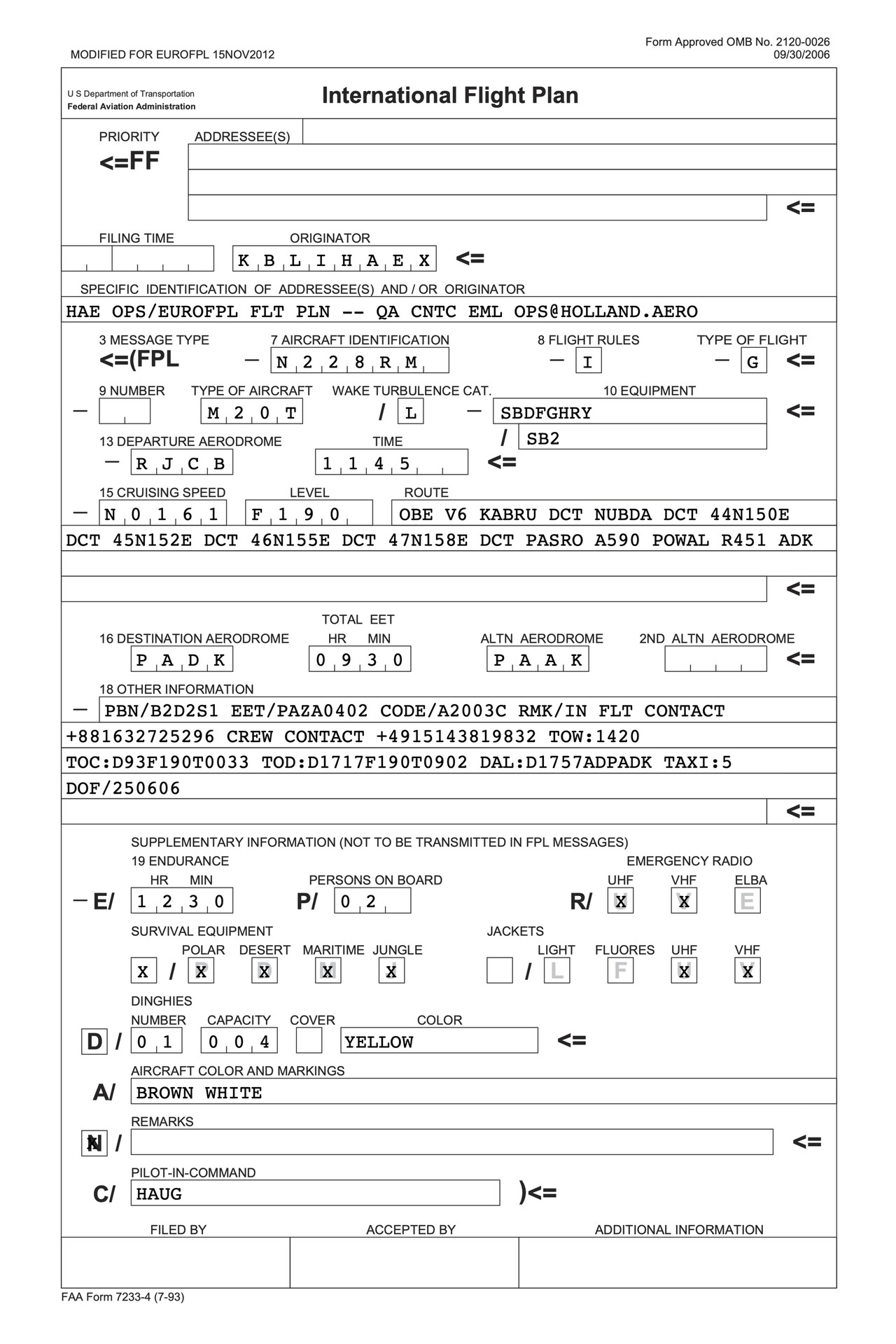
Fukuoka FIR as well as Anchorage Oceanic FIR require HF equipment for the leg from RJCB to PADK, but we had solved that problem in advance as described in the first chapter. Finally, we had no idea how a flight plan from Obihiro to Adak had to look like. We had crossed the Atlantic several times, so at least we weren’t complete novices to oceanic flying, but the Pacific charts looked somewhat different from the Atlantic ones. There were airways in the Anchorage (Oceanic) FIR that would suit us but nothing in the Fukuoka FIR. I prepared a route avoiding Russian airspace, along coordinates for the first part and along airways for the second, but we were a bit worried how that would work out.
Waiting for the right day to come
According to our spreadsheet we would stay in Obihiro for three nights before we had to fight the Monster, but this was only a placeholder, of course. We needed the right weather over the North Pacific: some reliable tailwind, no icing en-route and acceptable conditions at our destination. We would fly on the first day that combined these three. We arrived in Obihiro on a Sunday and back in Sendai it even seemed that we could fly Monday night, but forecast got worse and worse when we got closer to Monday. We weren’t unhappy about it – we somehow didn’t feel ready yet.
We had decided to only look at the weather for the leg to Adak and don’t care about the second leg to Dutch Harbor. We would try to continue to PADU if possible but only if we considered it safe.
The first day after Monday that looked promising was Friday, so this was the reason for our trip to Kushiro mentioned in the previous chapter: we had at least three days to burn. Anyway, we had to return to Obihiro which is not packed with attractions, but it’s not a bad place to wait either.
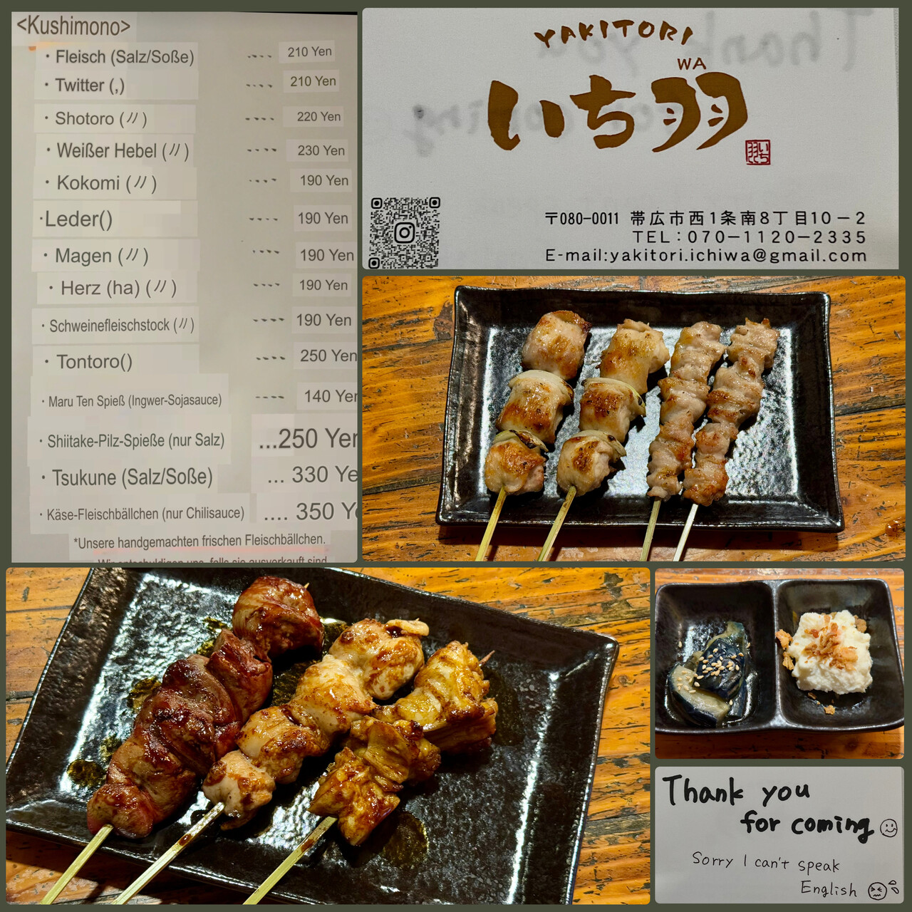
As at all other places in Japan that we visited, we were treated with exceptional friendliness. We went to a Yakitori restaurant one evening where the hostess apologized in writing that she didn’t speak English. We really felt embarrassed. In this place Google Lens translated one dish as “White Lever” what appealed to me. I ordered it and it turned out to be grilled liver. Luckily I like liver 😋
Friday came closer and closer and the weather forecast stabilized. Tailwind was forecast to be really solid and we should be able to climb without suffering from icing up to our cruising level.
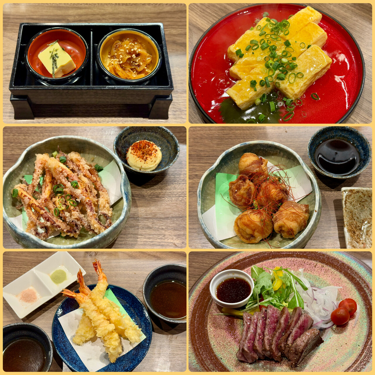
On Thursday night we walked around Obihiro’s amusement district for a while (you won’t get soar feet from doing that) and chose an upmarket restaurant for our last real dinner in Japan.
The forty-hour Friday
We had arranged for a late check-out at our hotel on Friday as we only needed to be at the airport at six pm. We hoped we could sleep in but of course this didn’t work. We usually get up at six am unless we want to fly early. As we were nervous there was no chance to sleep even that long. By six in the morning we had already checked the weather twice and I had filed the flight plan I had prepared.
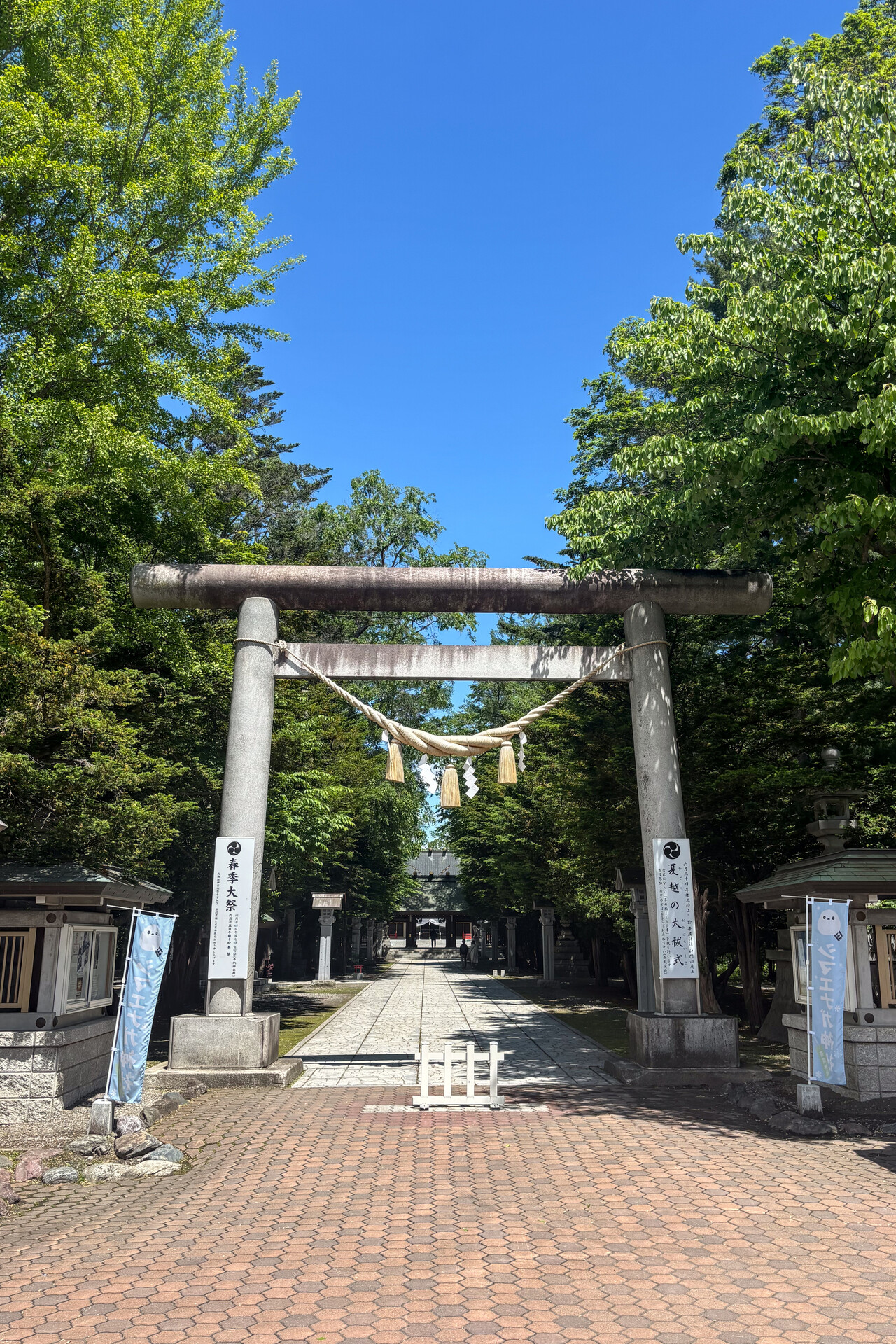
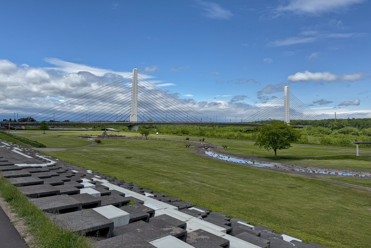
After breakfast we walked a bit out of town to a little shrine and continued along the river. We rested in our hotel room in the afternoon but couldn’t get any sleep. At five we took a bus to the airport.
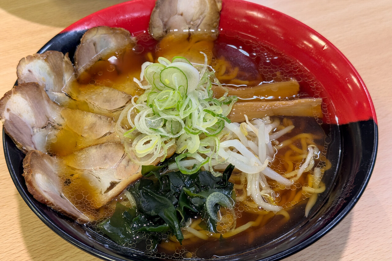
At the airport the friendly guy that had already greeted us when we arrived took care of us. We were allowed to access the ramp to prepare the plane and load our luggage when there was still some daylight. He then took us to C&I where our passports got stamped. It was a very friendly and pragmatic process. They allowed us to go back to the main terminal, so we wouldn’t have to wait in the transit area for two hours. We had our last bowl of (not so good) ramen in the airport restaurant. At around eight they closed and we went to the operations office for the last time. A couple of people were still working there and all waved us good-bye. The last commercial flight had left and we were allowed to cross the now empty ramp to the only aircraft remaining there.
It was completely dark when we put on our immersion suits and life vests and boarded our little Mooney. You don’t have to request start-up in Japan for light aircraft even under IFR, so we just fired up the engine and requested clearance and taxi. ATC gave us an instrument departure and an initial routing even further south than I had filed but then “as filed”. We weren’t too happy with the departure as it would mean flying in the right direction for quite a few miles and then back to the field and the southerly routing wasn’t to our liking either, but the rest of the clearance was a positive surprise.
Exactly at nine pm local time we took off at RJCB, and I found it astonishing how dark it was. I had to refer to instruments immediately after pointing the nose up. Hokkaido was very different from the neon-lit cliché of Japan I had in my mind. There was a scattered cloud layer high up but we could see the moon. Tina requested a visual departure but we had to fly the procedure for a while. We even had to turn inbound again but shortly after were taken on vectors and could fly roughly in the right direction.
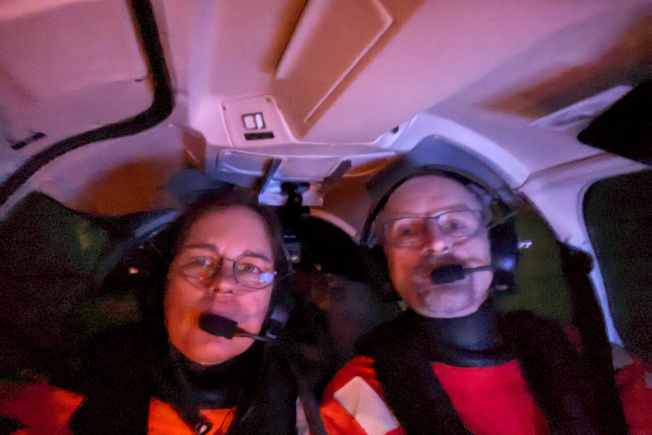
To my disliking it was not as cold as I had hoped for when we reached FL190, only -15C. There were very thin clouds around us and these were potential icing conditions but as long as the clouds would be that thin we would be good. Tina could see the moon to her right and I was able to spot a star or two to my left. Not getting into thicker clouds without noticing was our biggest concern for the next few hours.
Once we were out over the Pacific for a while, ATC instructed us to contact Tokyo Radio on 6655, secondary 8915. We were less than sure that our HF installation would work as desired, so Tina replied that we also had a satellite phone in case we couldn’t get HF contact. Japanese ATC were not interested at all and just repeated that we should contact Tokyo Radio.
I cranked out the HF antenna and Tina turned on the radio. She dialed in the frequency and made the antenna tuner do its work. SWR was good so she took the microphone and yelled “TOKYO RADIO, TOKYO RADIO, NOVEMBER TWO TWO EIGHT ROMEO MIKE!?!”. A bit to our surprise but great relief the reply was readable at least four out of five “November two two eight Romeo Mike, Tokyo Radio, go ahead!”.
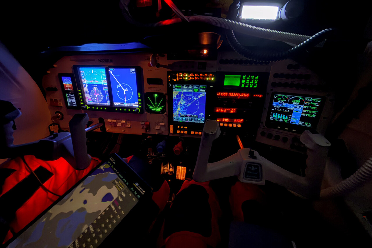
The only issue we had was that the display of the HF radio was way too bright. I had tried to get the brightness of the various displays in our panel balanced at night and was pretty successful with that. However, I had never tried the HF radio in the dark. It was really annoying but we couldn’t work out how to turn it down.
Tokyo Radio requested a position report at each of the waypoints we had filed what meant reporting roughly every hour. We used the time between the reports mainly to worry about icing. It was very hard to assess how thick the clouds were. I stared at the stars through the left window and suddenly I could see the Big Dipper and even Polaris! For some reason that gave me a very comforting feeling.
The moon went down and from time to time we took our flashlight to inspect the leading edges of the wings, but there was absolutely nothing. That was to be expected, of course, as I could still see the stars almost continuously, but over the North Pacific at night it’s easy to drive yourself crazy.
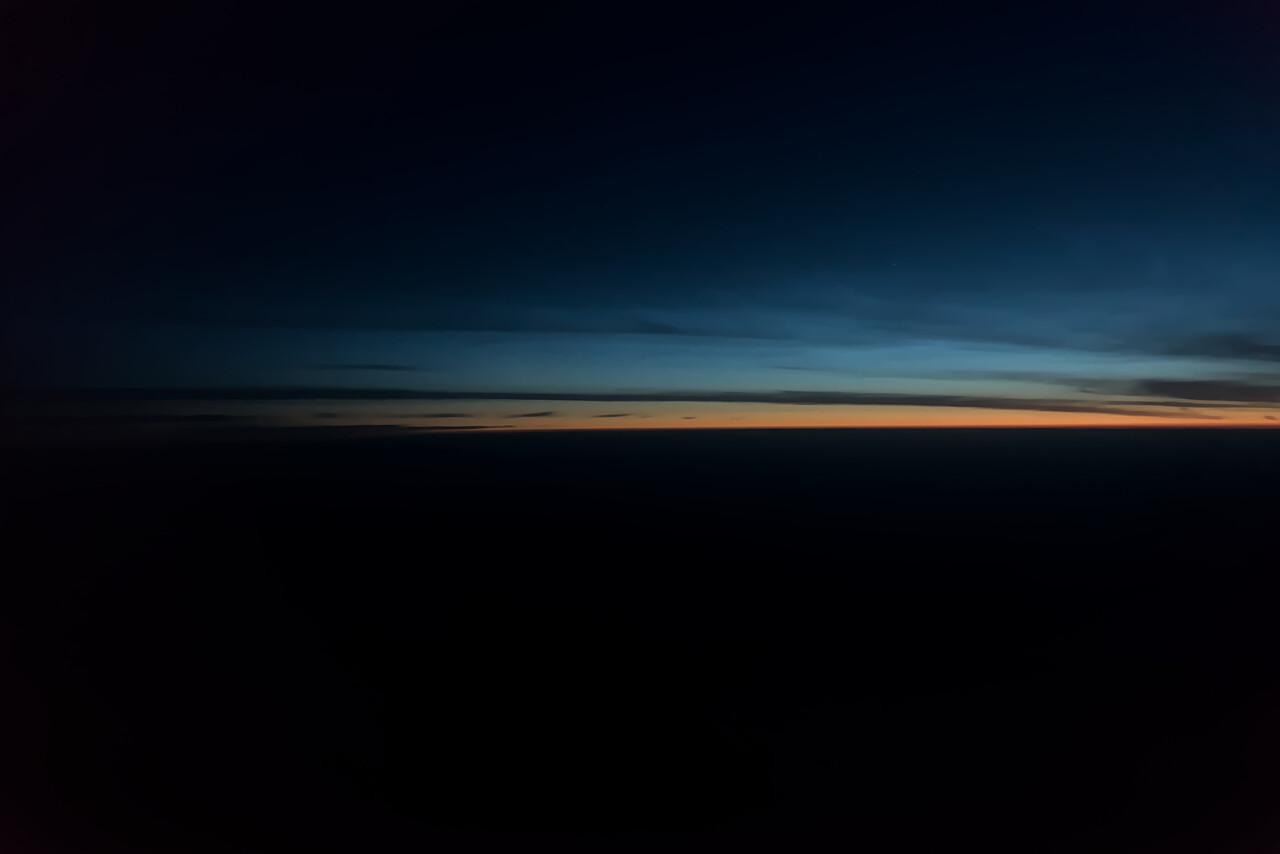
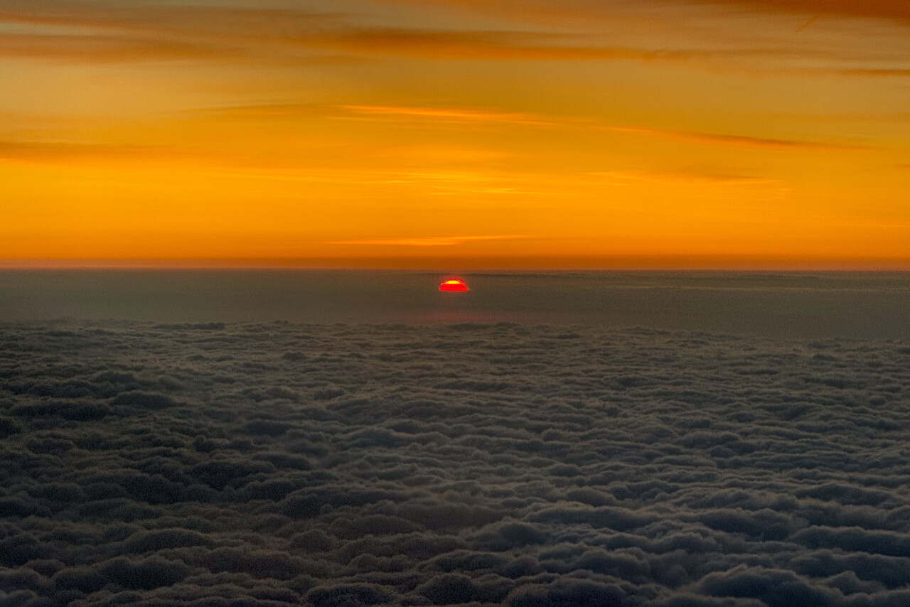
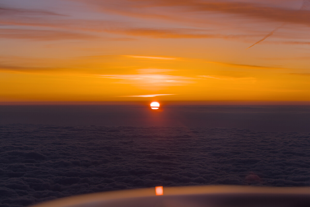
After about four hours in the air, while I tried to find the Big Dipper again, I saw a silver lining. In disbelief I mumbled “It’s getting light!”. Tina wouldn’t believe it, but after a few minutes she could see it as well.
The funny thing is: before our departure we had tried for days to calculate how long we would have to fly through the night, and four hours was our best guess. Still we were kind of surprised and even though this sunrise was painstakingly slow, it gave us an incredible moral boost.
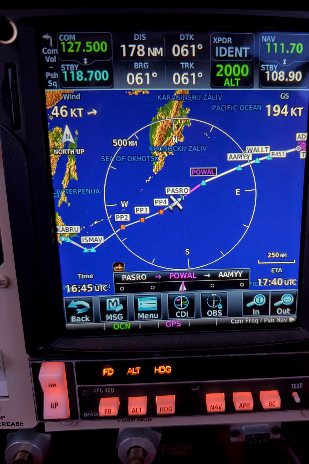
Even though the North Pacific is a remote place, you’re not alone here. The airways between Japan and Alaska are well trodden by airliners. A friend of ours is a pilot on cargo 747s and he flies here regularly.
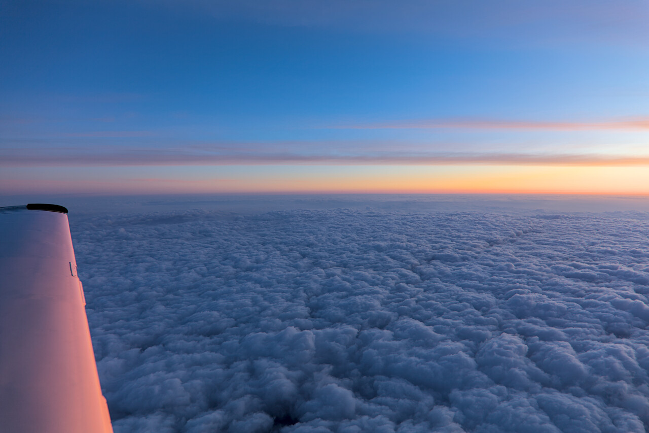
Weather was better than forecast from now – we flew in the clear over a cloud layer. In fact, we never really saw the Pacific Ocean before we descended into Adak.
Once we got close to the Anchorage Oceanic FIR boundary, Tokyo told us to call San Francisco Radio on 10048, secondary 13339. Primary worked perfectly well, but after one position report Anchorage ATC were fed up with the HF detour via San Francisco Radio and asked airliners for relay. Probably this was more convenient for them, for us it certainly was. I could crank in the HF antenna for good.
The remainder of the cruise flight was uneventful, we were in the clear all the time. We didn’t see much of the Pacific Ocean though, we flew above an undercast that got more and more solid when we came closer to the Aleutians. ATC had advised us well in advance via airliner relay at which point and on which frequency we could expect contact to Anchorage center. We had to fly the ILS in Adak because of the clouds and this meant the full procedure because there is no radar coverage. We weren’t too happy that we had to fly that far past our destination, but the procedure offered spectacular views of some volcanoes. The Aleutians are part of the Pacific Ring of fire.
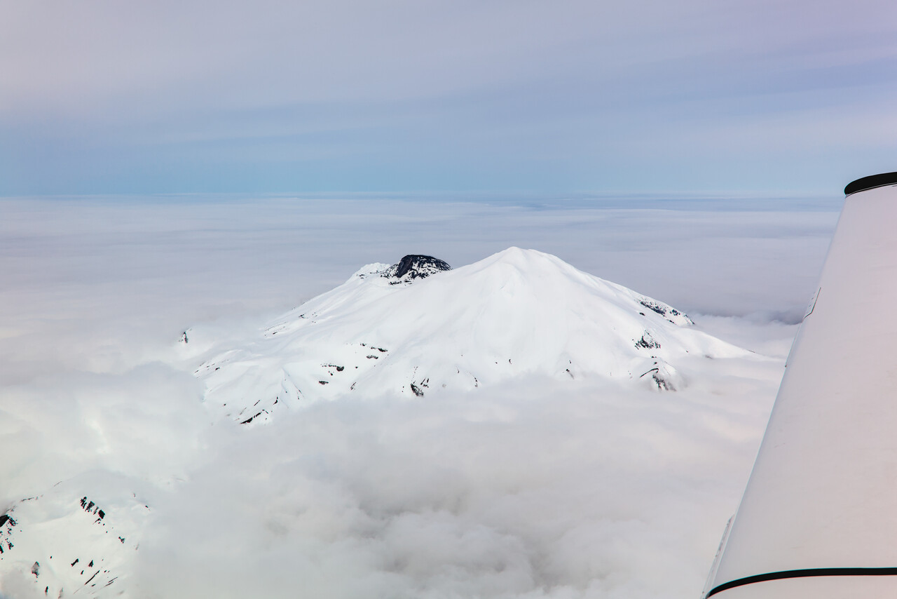
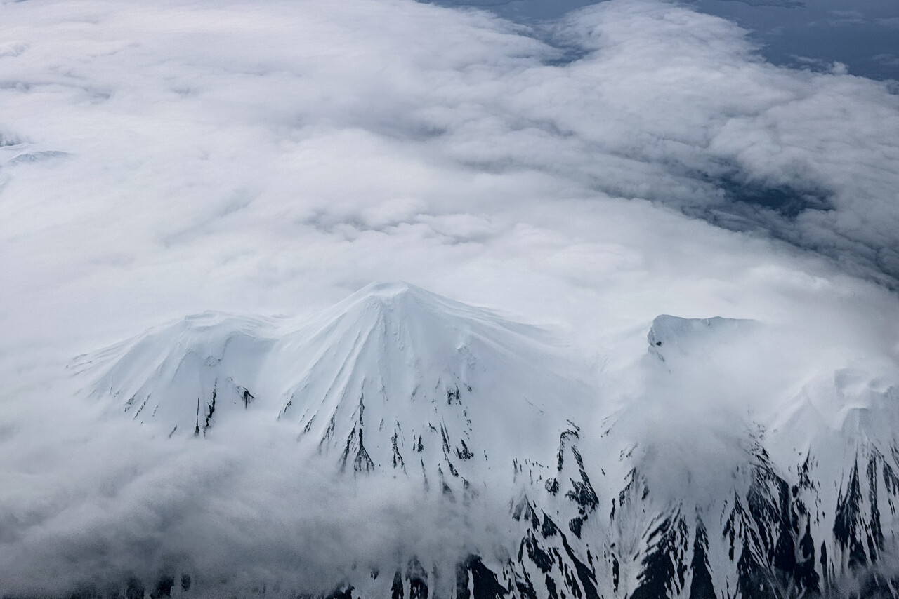
We broke out of the clouds at around a thousand feet and were able to close our flight plan with ATC while we were still in the air. We landed at PADK after ten hours and eleven minutes flight time and 1,882 nautical track miles.
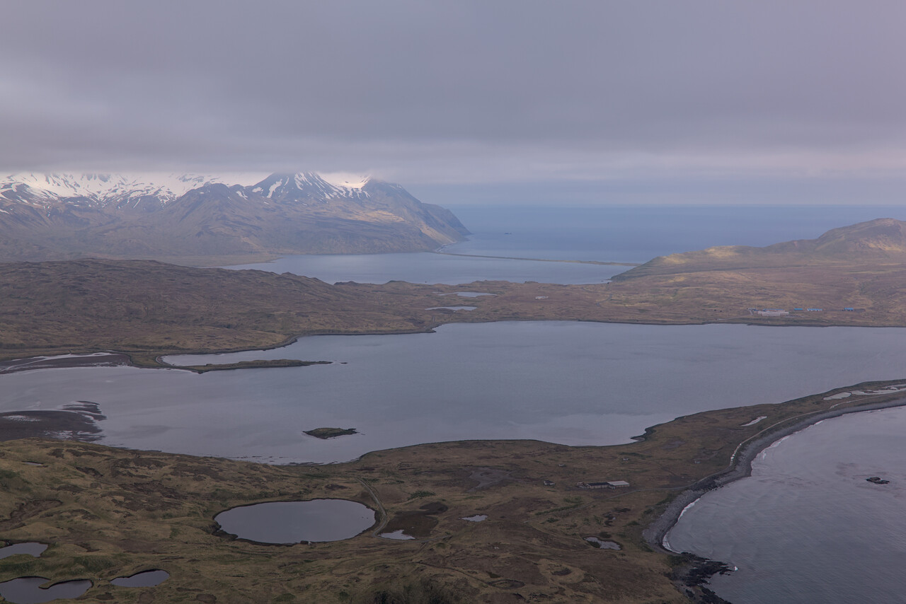
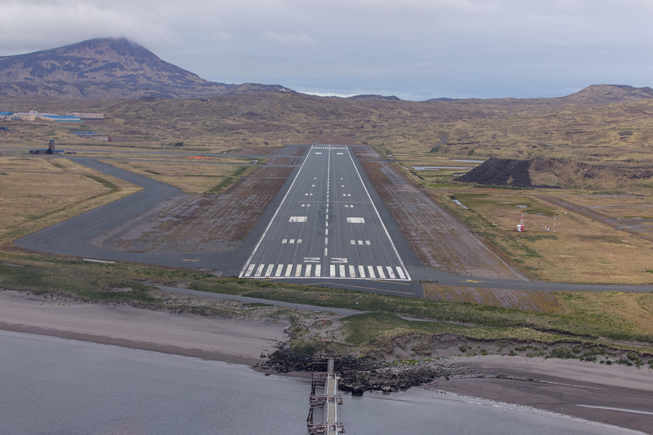
On the ramp we were greeted by a grumpy guy who made it immediately clear that he would only refuel our plane because he had to and that he was absolutely not in the mood to help us in any way. The first thing we wanted to do was call CBP in Dutch Harbor because that was what they had told us to do. Unfortunately, neither of our cell phones worked, even though we had purchased two different eSIMs that were supposed to work in Alaska. We asked old grumpy if he knew where to find a phone but he said that was not his business.
It was not the guy with whom we had been in contact before and he claimed not to know anything about the email conversation we had. When he had pumped the drum of fuel into our tanks, he asked us for a credit card and presented a little receipt: 600$ for the fuel “handling” (not for the fuel) plus 300$ for the pump we had to buy (I'll spare you this story). Once he had the credit card data, he drove away and we were alone on the ramp and we didn’t know what to do.
Fortunately it didn’t take long until another pilot showed up. He was curious what this little Mooney was doing in Adak. Luckily he had a working cell phone which he immediately gave to Tina so we could check the weather in Dutch which wasn’t great. Tina called the CBP officer in Dutch and this time he was much friendlier. He said, he wasn’t a pilot but to him the clouds appeared low. Nothing would happen if we decided to stay in Adak for the night because we deemed the flight unsafe. However, if we decided to fly, we should tell him and he would come to the airport.
The friendly pilot told us that he wasn’t local either, he did some sea plane training with an Alaskan pilot who was about to arrive as well. He suggested that we should talk to the local pilot, he would know what the best course of action was.
Shortly after, the other pilot arrived and I explained our situation. He was of the opinion that weather would be worse the next day. However, he immediately called an Adak local to check if we could get a room for a night. There would have been accommodation but in the end we didn’t need it.
Conditions in Dutch were close to IFR minimums or even below that. There are no straight-in instrument approaches into Dutch. You can get down over the water almost perpendicular to the runway, but then you have to find your way into the bay visually, and minimums are quite high. As we knew from our approach into Adak, it would have been no problem to get on top of the clouds but getting into Dutch seemed difficult to me.
I explained my concerns about the instrument approach in PADU to the Alaskan pilot, but he just replied “In Alaska we usually fly VFR”. I told him about my reservations regarding the low ceiling but he still considered it a good day for VFR flying.
Tina and I have an agreement that when a decision has to be made (not only in flying), the more conservative opinion always wins. I thought for a few moments and then said that I would opt to fly VFR now. She thought for a while as well and then said “OK, let’s fly!”. It would be a terrible flight of two hours and fifty-four minutes at 1,000 feet over the sea or below.
The Alaskan pilot suggested that we should file a DVFR flight plan even though legally it wasn’t strictly necessary. We did so using his phone, Tina called the CBP officer in Dutch once again and off we went.
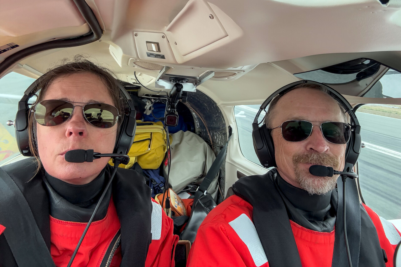
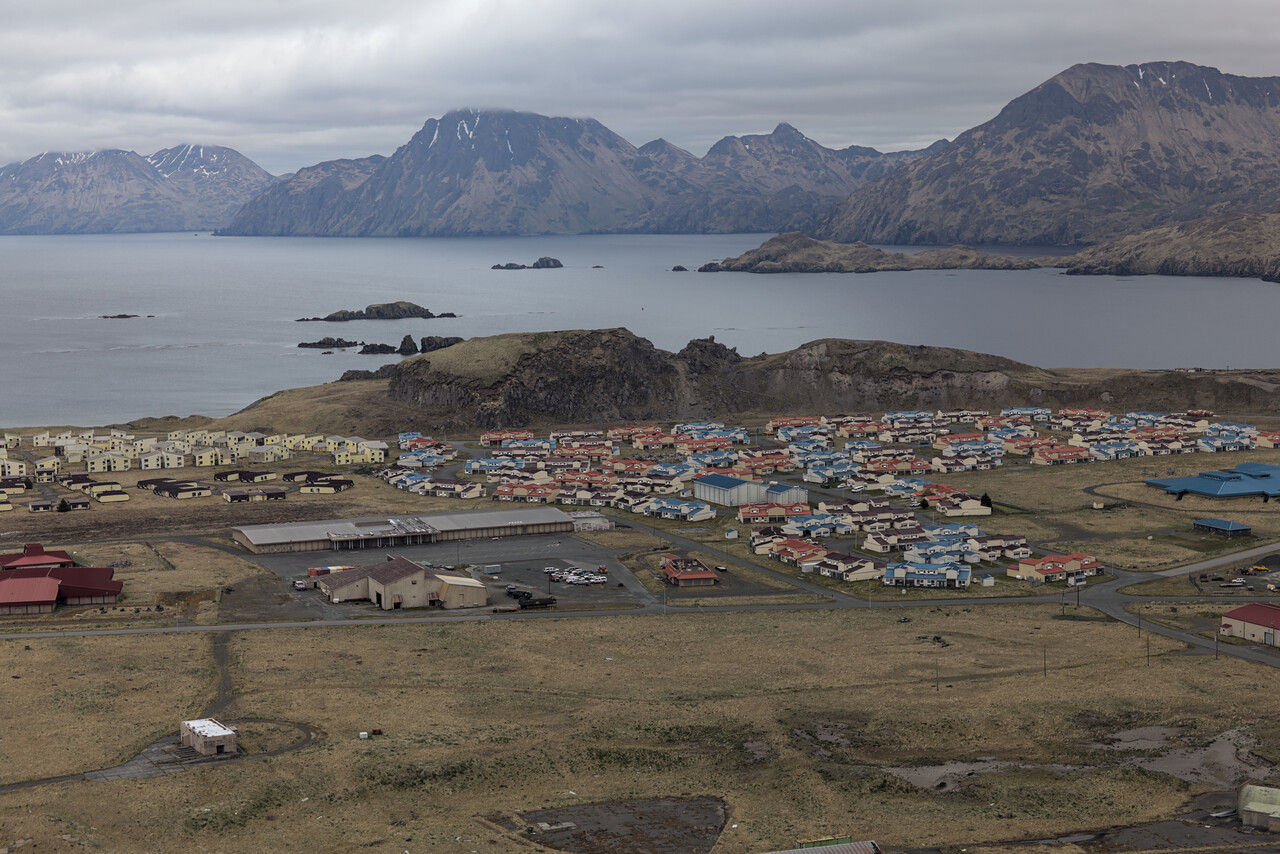
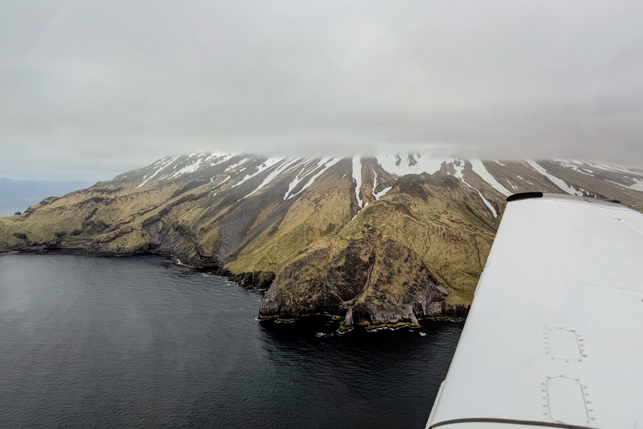
When we approached Dutch Harbor, even at 600 feet there were scattered clouds. We did our best to stay clear of them and find our way into the bay.
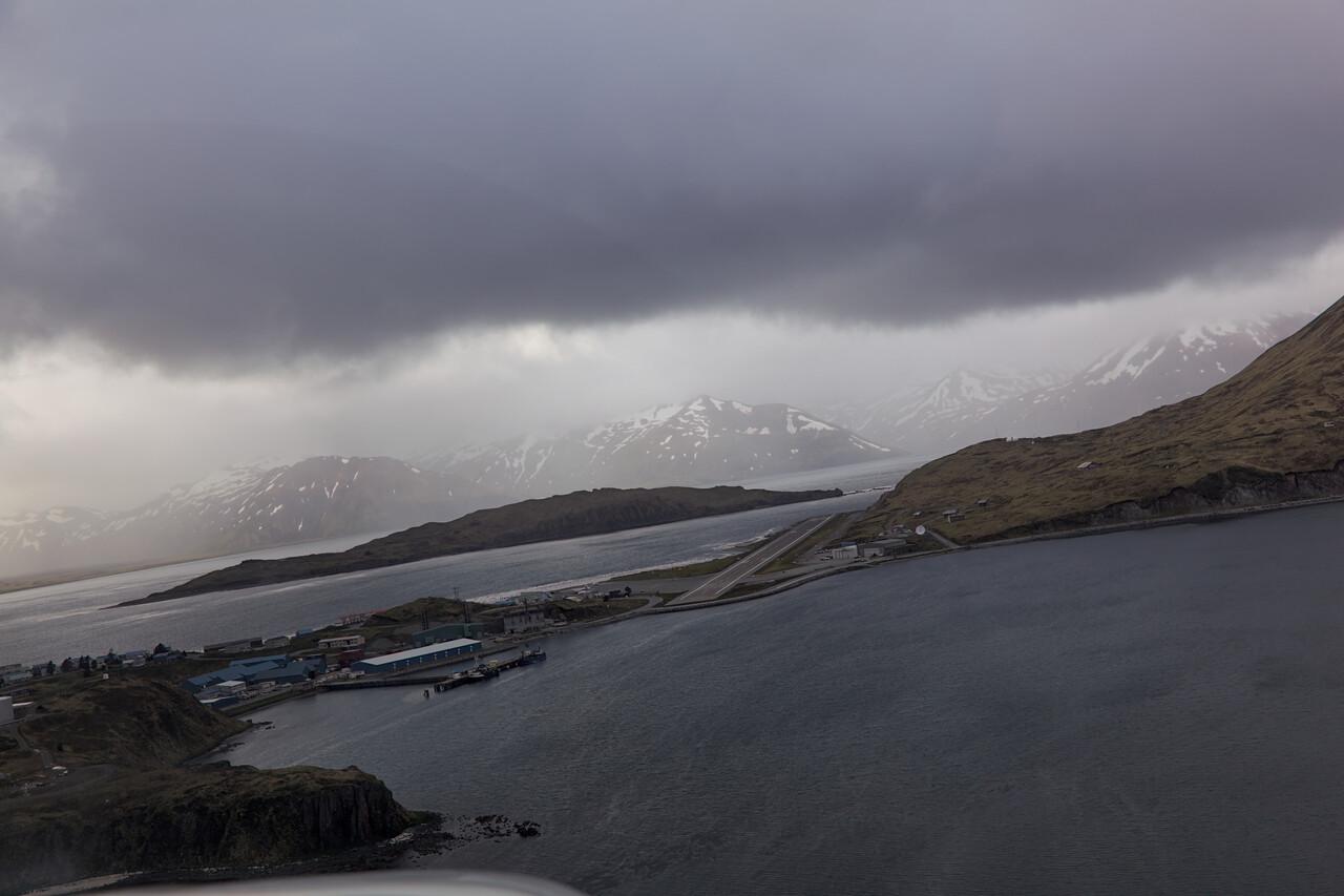
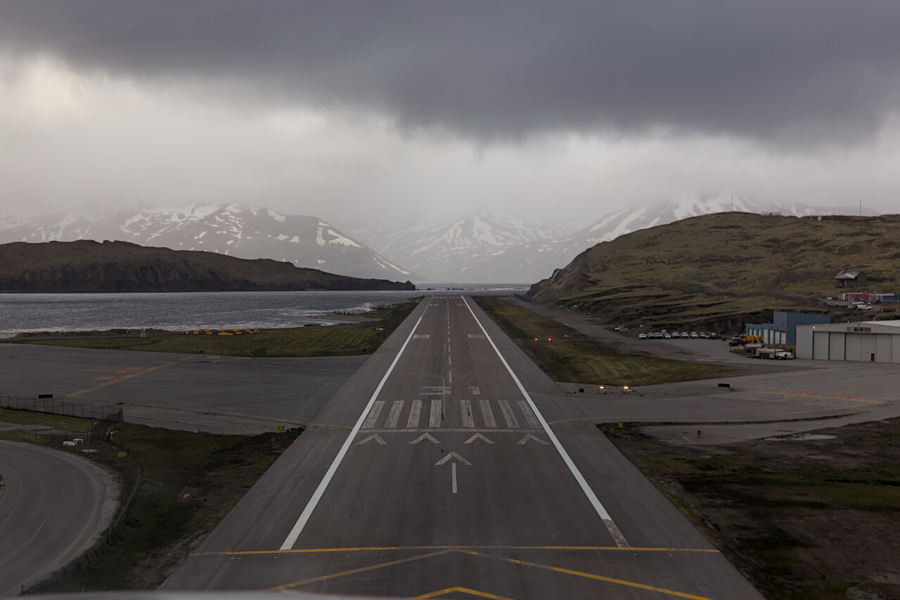
There is one more time zone to cross between Adak and Dutch Harbor and we landed at PADU shortly after 5 pm local time. On the ground we searched for a designated yellow customs box you have to wait in at other airports but there wasn’t one. There was a radio operator on site who noticed our confusion and he said “Just shut down on the ramp, the CBP guy will find you!”.
In fact the officer came to us after a couple of minutes and was rather relaxed. He asked what our intentions were and we said that we had booked a room at the only real hotel in town for the night. He seemed to be quite happy with that and suggested that we would do all the paperwork the next day, as it was already after hours for him. He would pick us up at our hotel at noon. He even offered to give us a ride to our hotel, but we preferred to walk the two kilometers or so — we had to secure the plane before we could leave and we had been sitting for quite a while.
We walked to our hotel, checked in and took a shower. When we finally went downstairs from our room to the hotel’s restaurant, it was shortly before ten pm. We ordered a cheeseburger and a beer. By the time we had finished our dinner it was still Friday – for forty hours already!
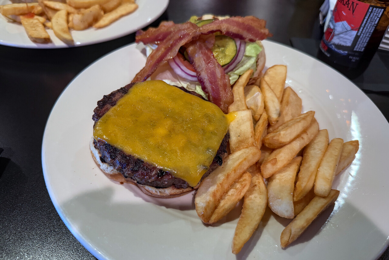
The last frontier: Alaska
Now that the North Pacific as well as the difficult regions we had to cross to get to Japan were done, we finally were liberated from the spreadsheet and the constant staring at weather forecasts. We would continue our journey at a more leisurely pace and with shorter flights now.
To get down to the Lower 48 we flew along South Alaska from Dutch Harbor (PADU) to Bellingham (KBLI) in Washington State with stops in Cold Bay (PACD), Anchorage Merrill Field (PAMR), Yakutat (PAYA), Juneau (PAJN), Petersburg (PAPG) and Ketchikan (PAKT).
All of these stops except Anchorage were “islands”. Not all in a geographical sense but in terms of transportation. None of them can be reached by road from other places in Alaska or Canada.
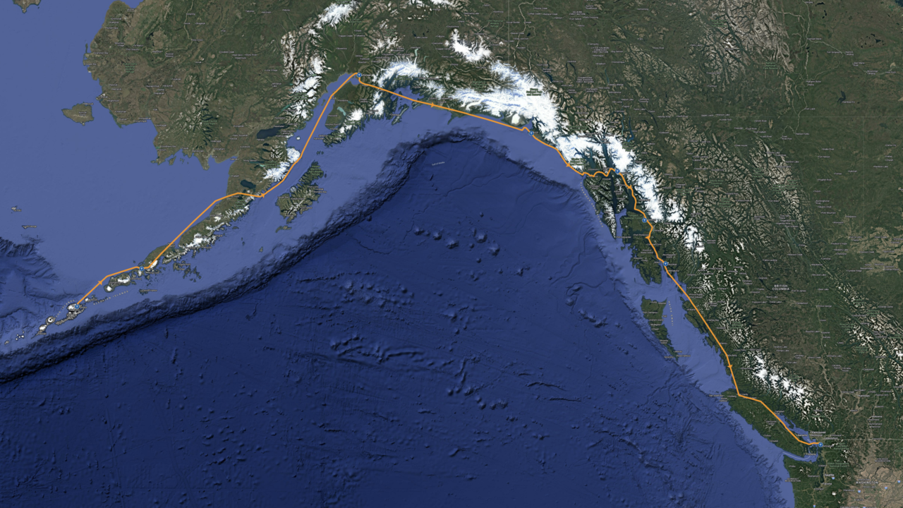
Celebrating in Dutch Harbor
First of all we enjoyed our victory over the monster for two days in Dutch. The CBP officer picked us up as agreed and we drove to the airport together. He inspected the plane and stamped our passports what only took a couple of minutes. He offered to take us back to our hotel but again we preferred to walk as weather was really nice.
It was chilly though and we had to purchase some warmer clothes on the way. We had packed only the bare minimum to save weight. We had even thrown our uniforms into the bin back in Japan.
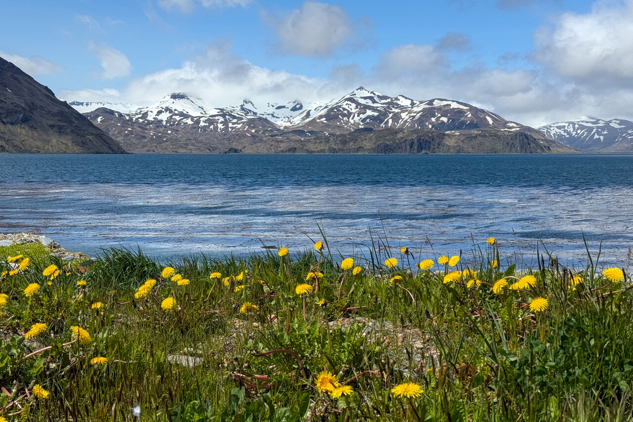
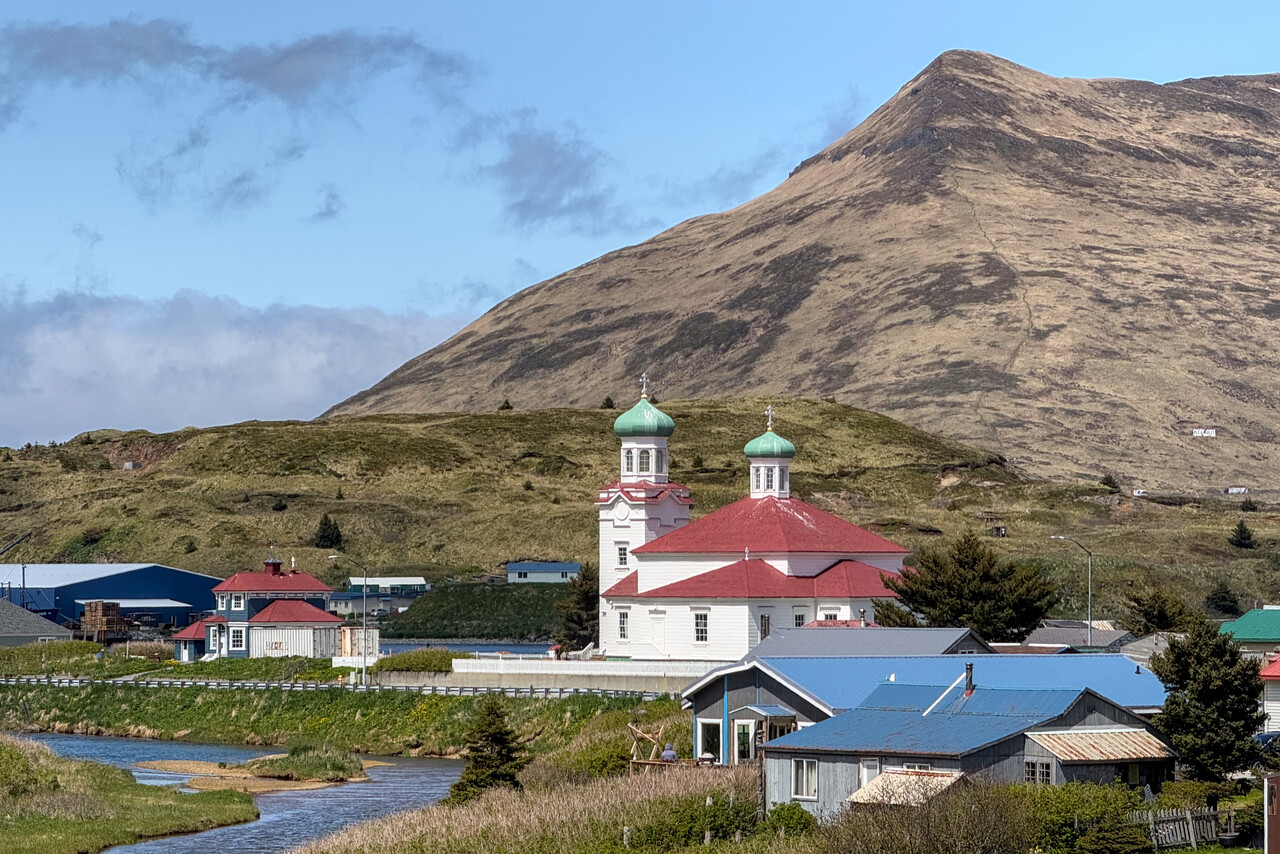
I had learned about the existence of Dutch Harbor by watching Deadliest Catch – a TV series on Discovery Channel. It was funny to find some of the boats featured in that series moored in Dutch.
Other than that, there is really not too much to see and do in Dutch Harbor, but it was just an incredible feeling to be there. The Pacific was behind us and we had covered more than 180 degrees of our RTW attempt. In fact home was now closer towards the east than towards the west. We just strolled around and enjoyed two days without flying.
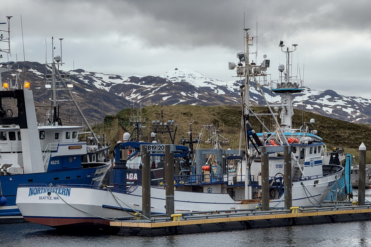
Continuing to Anchorage
As mentioned, there is no Avgas in PADU, but PACD is only an hour away. We would have loved to stay a night or two in Cold Bay but unfortunately we couldn’t find accommodation there. We had filed DVFR to PACD and weather was beautiful when we departed PADU but only so-so on arrival.
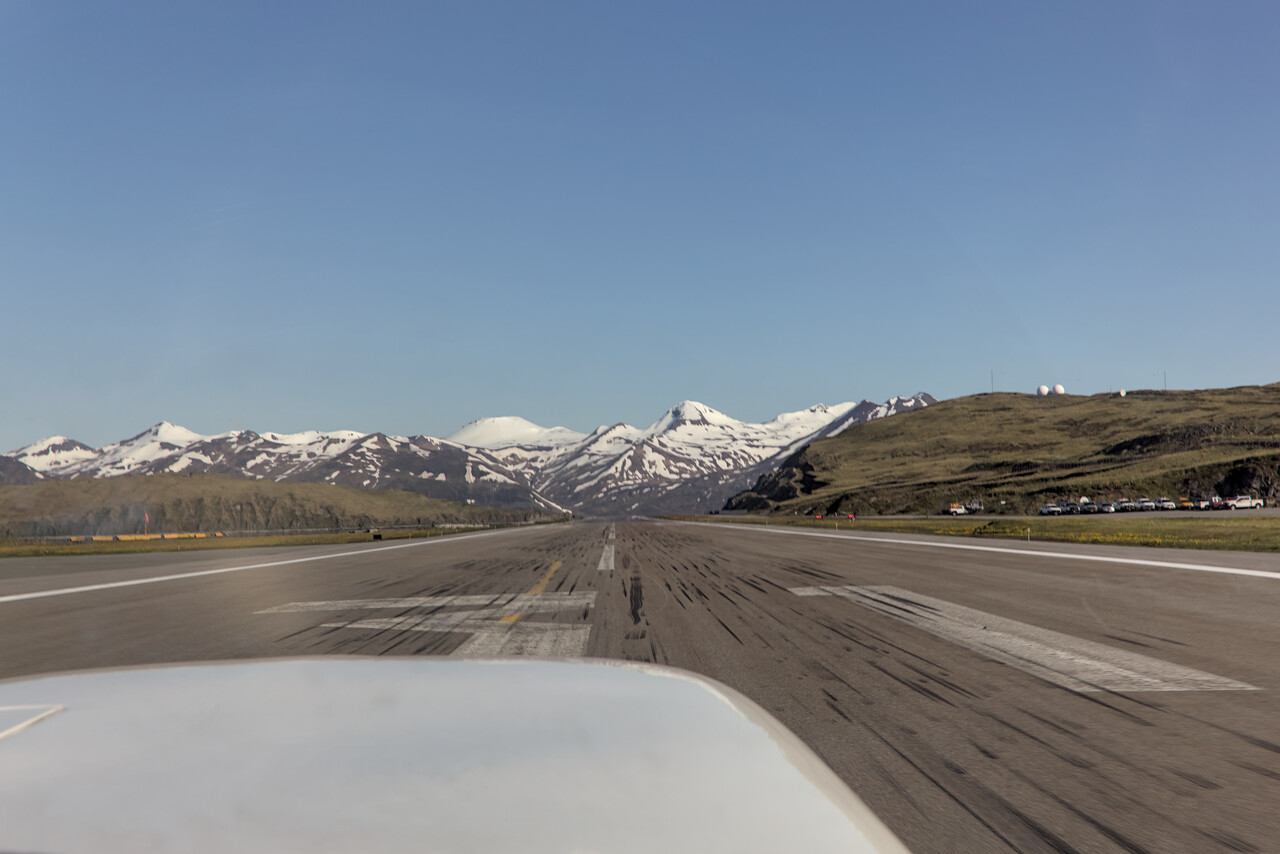
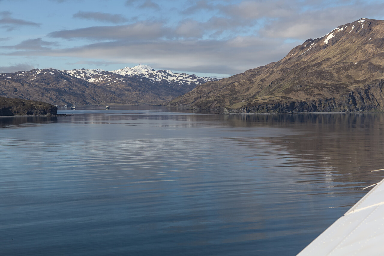
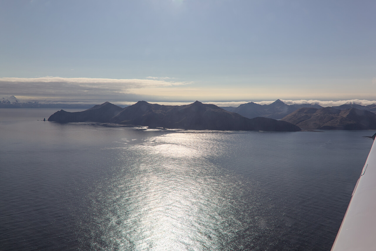
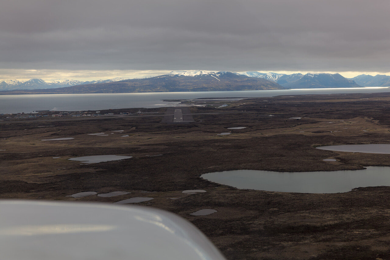
For the flight to Anchorage we had filed IFR, but that turned out to be nonsense. We departed VFR, picked up our IFR but canceled shortly after. The scenery we could enjoy was stunning.
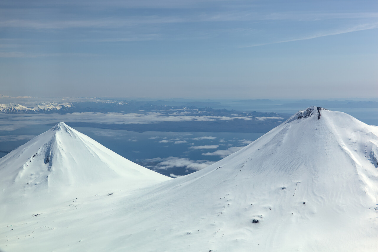
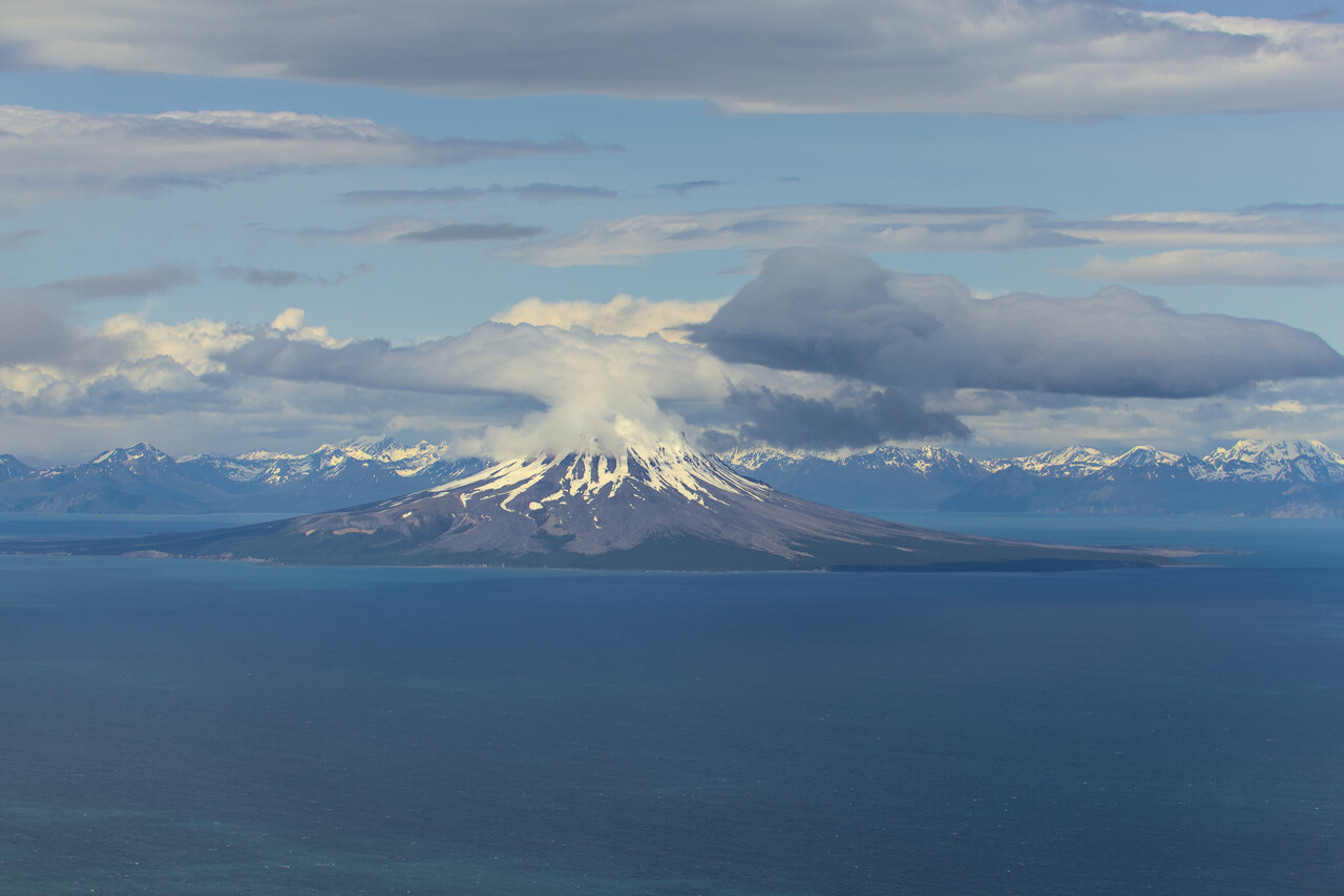
Weather deteriorated when we came closer to Anchorage and Merrill Field is a really busy place, so the approach was a bit stressful.
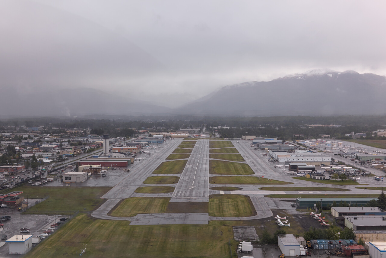
We had arranged that we could do an oil change at the FBO and use their facilities to cut open the filter. This worked out very well. They just let us alone and do our business. Once we were done, the local A&P helped us to cut open the filter.
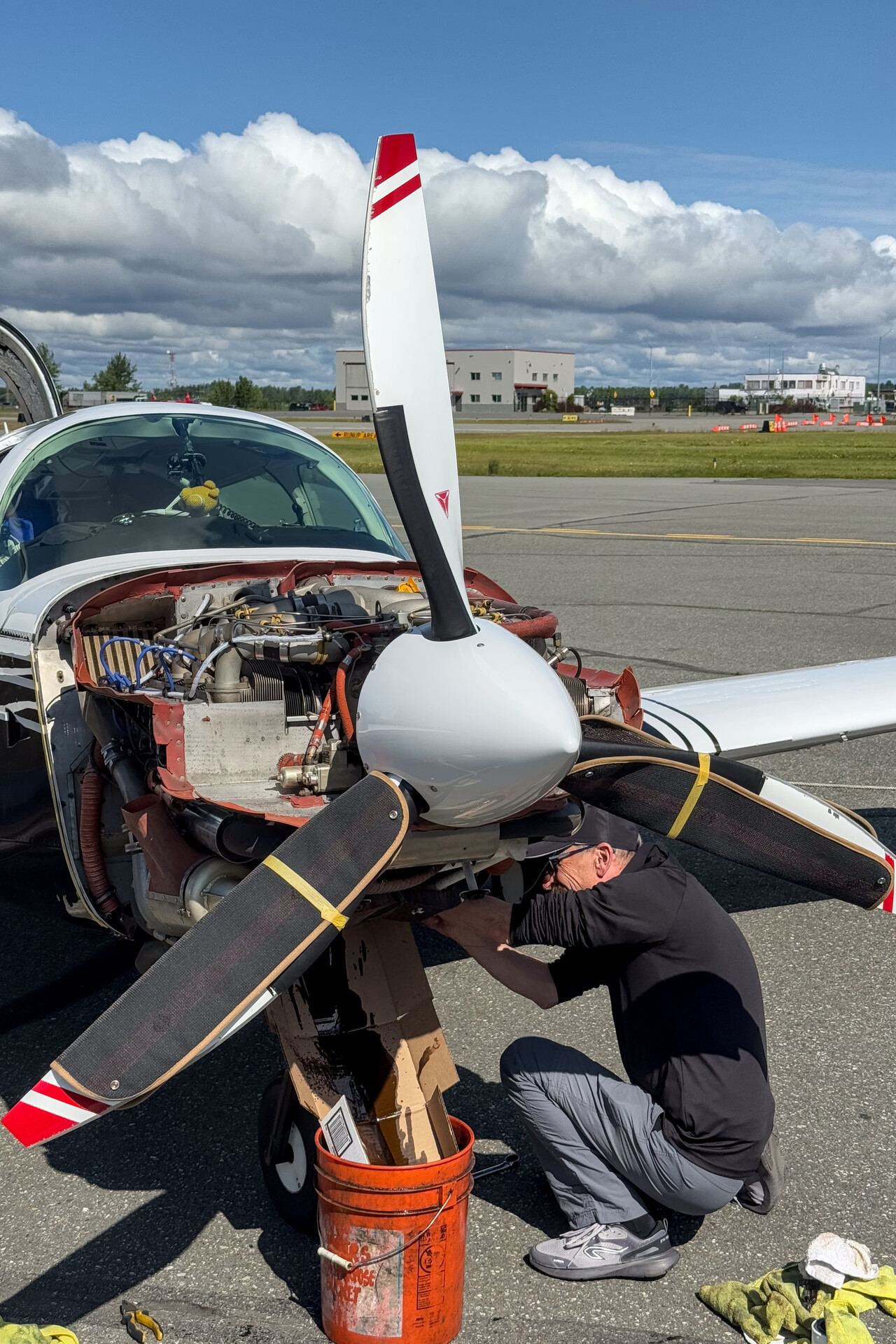
Cruise ship tourism is a big thing along the southern coast of Alaska. Numerous enormous ships ply the Inside Passage mainly between Vancouver and Anchorage. These ships transform the ports they call at completely. Not only do passengers of the ships flood these mostly tiny places during shore leaves, they also partially (dis)embark and need accommodation before/after their flights in and out. We took roughly the same route as the cruise ships do, just a bit higher. By coincidence every second of our stops along the coast was one of the cruise ship ports while the others weren’t. The contrast couldn’t be more extreme.
While Anchorage is not a tiny place, the large number of cruise ship tourists still make hotels very expensive and we actually didn’t find the town very appealing. We took a rental car and drove to Talkeetna which we quite liked. We could get nice views of Denali from there.
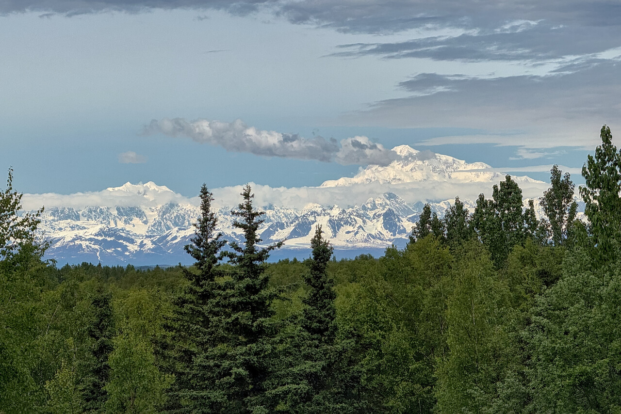
Our Inside Passage
Weather for the flight to Yakutat was excellent in the beginning but poor towards the end. We had filed IFR for the last time for a while but requested a VFR departure – Z flight plans are not common in the US.
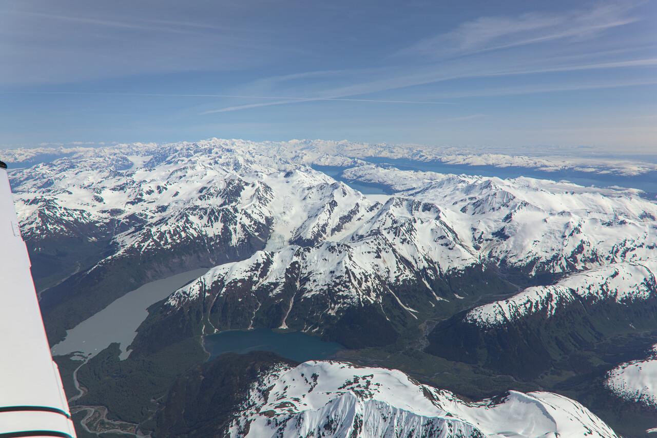
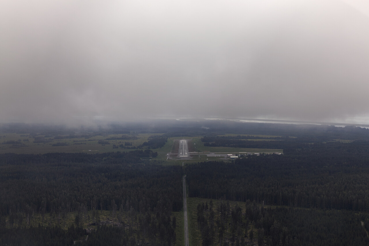
Even though Yakutat was the closest place to Anchorage that we visited, it was the quietest one. There is one restaurant that belongs to a lodge but it’s way out of town. Otherwise there is a grocery and a liquor store, but that’s about it.
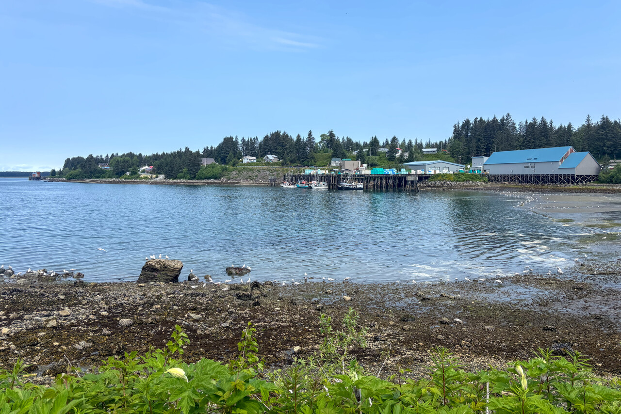
The flight from Yakutat to Juneau was a real highlight. Weather was OK in Yakutat and excellent further southeast. The coastline is rugged and glaciers reach down to sea level.
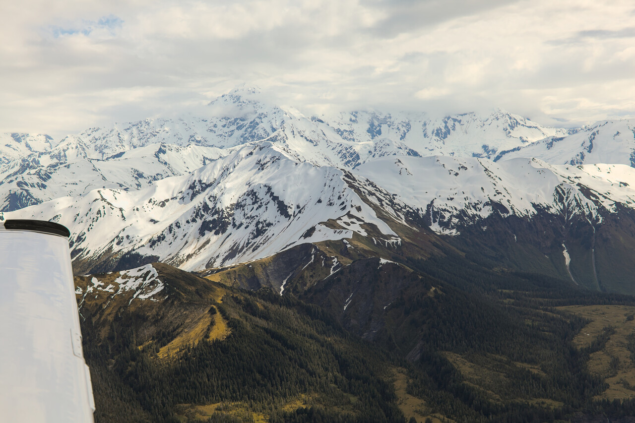
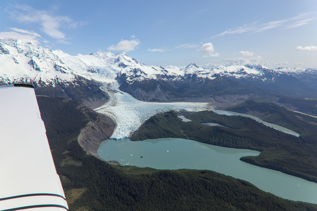
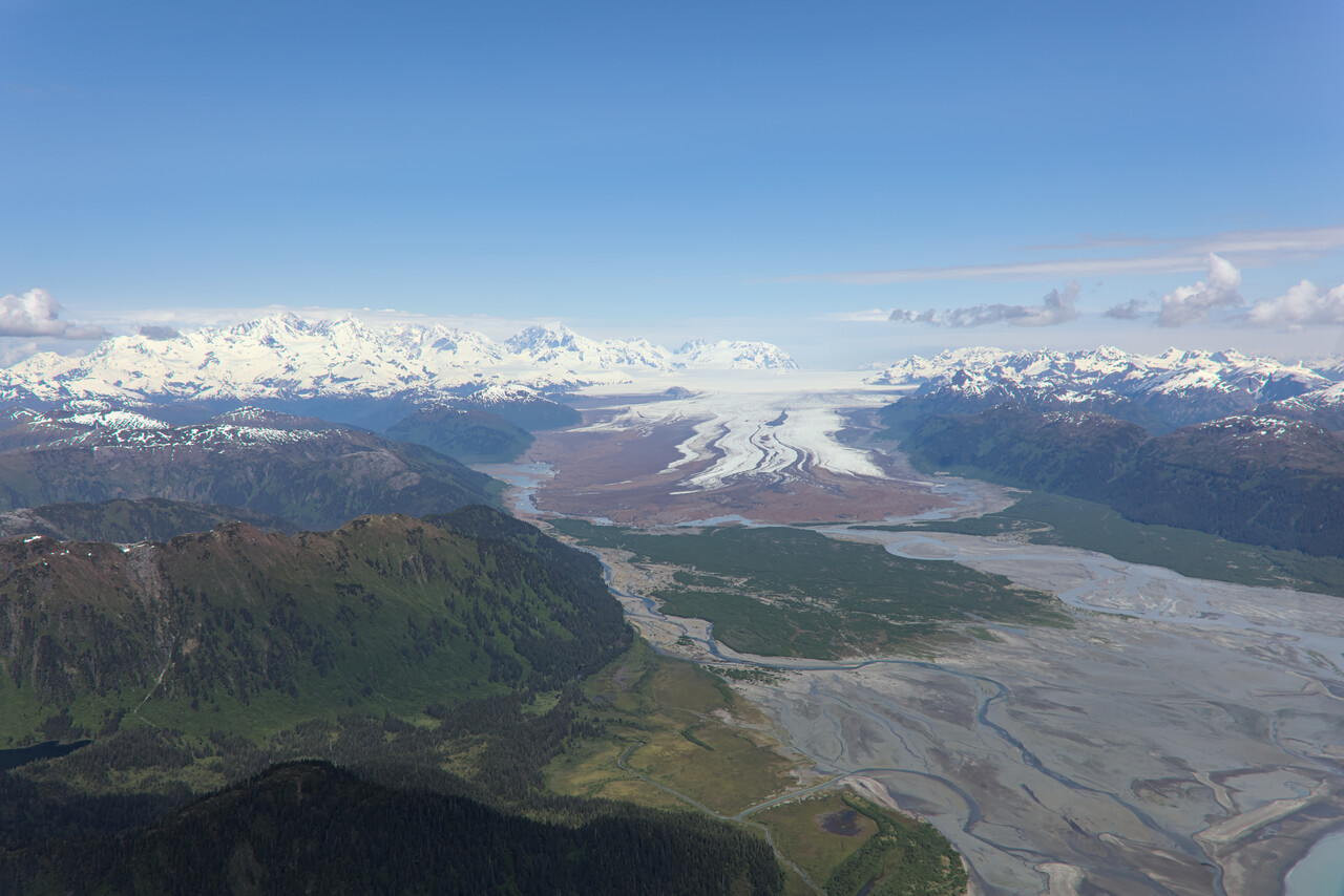
The chart supplement for PAJN describes a VFR procedure called the Super Bear Arrival that we considered appropriate. When Tina called Juneau Tower to request the Super Bear Arrival, the reply was “Fly the Super Bear Arrival, report the Bear!”. We happily did so 😀
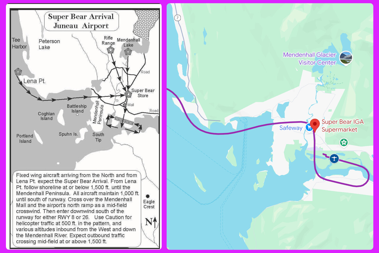
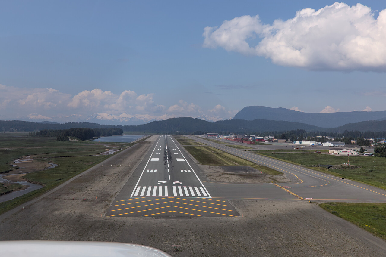
Juneau is the capital of Alaska, so there are probably quite a few jobs in the public sector. However, at least downtown is completely dominated by cruise ship tourism. There is a cable car that takes tourists up a mountain and from there, there are really nice walks.
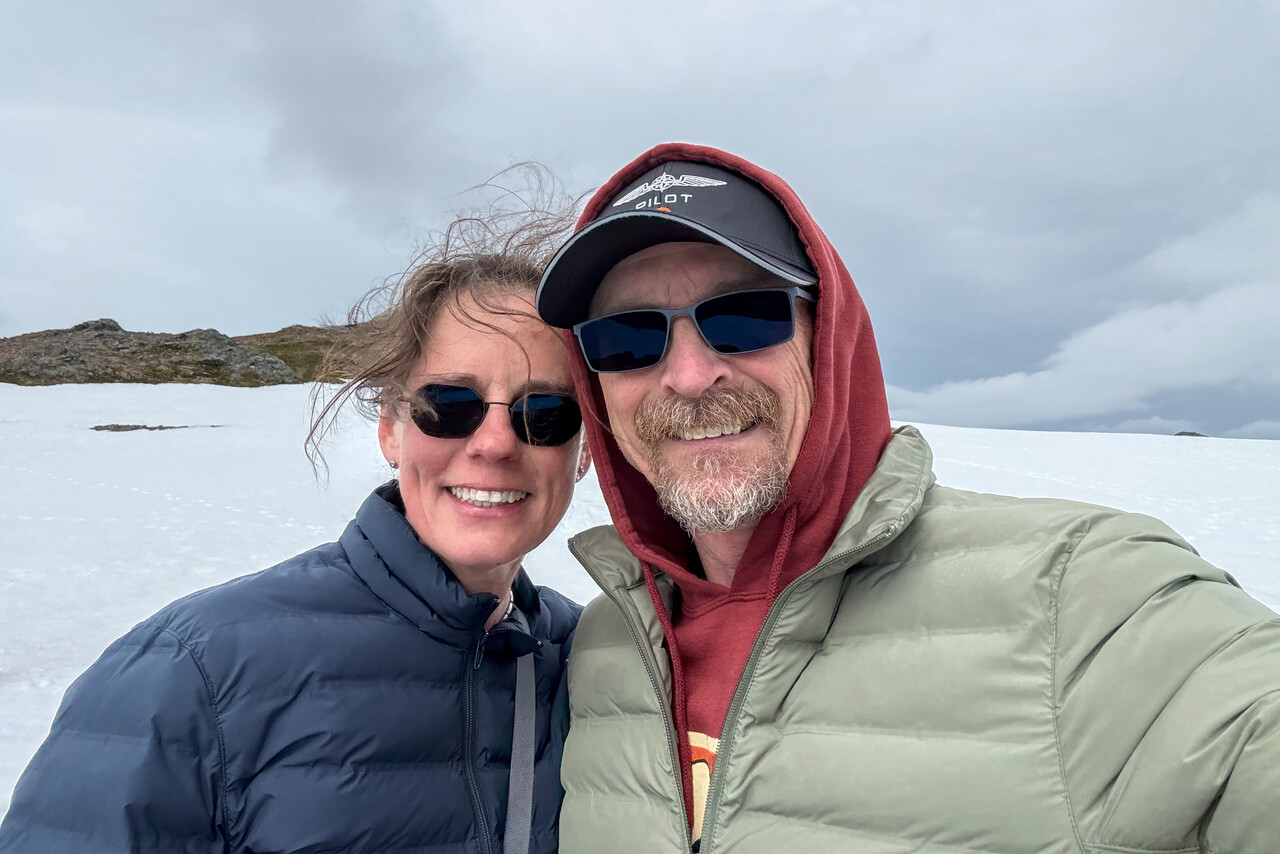
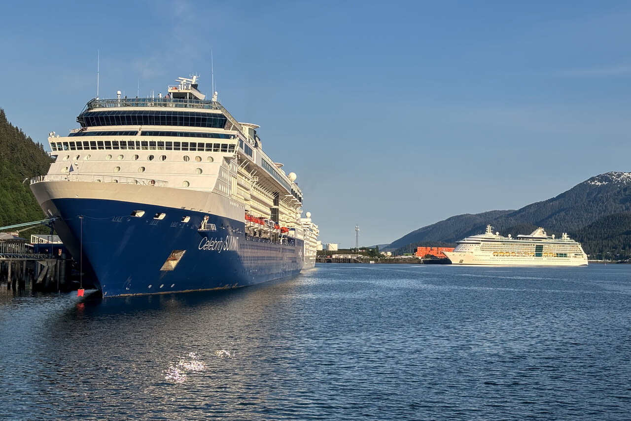
Our next stop would be completely different again, the tiny town of Petersburg on Mitkof Island. The flight to PAPG was short but really nice once again.
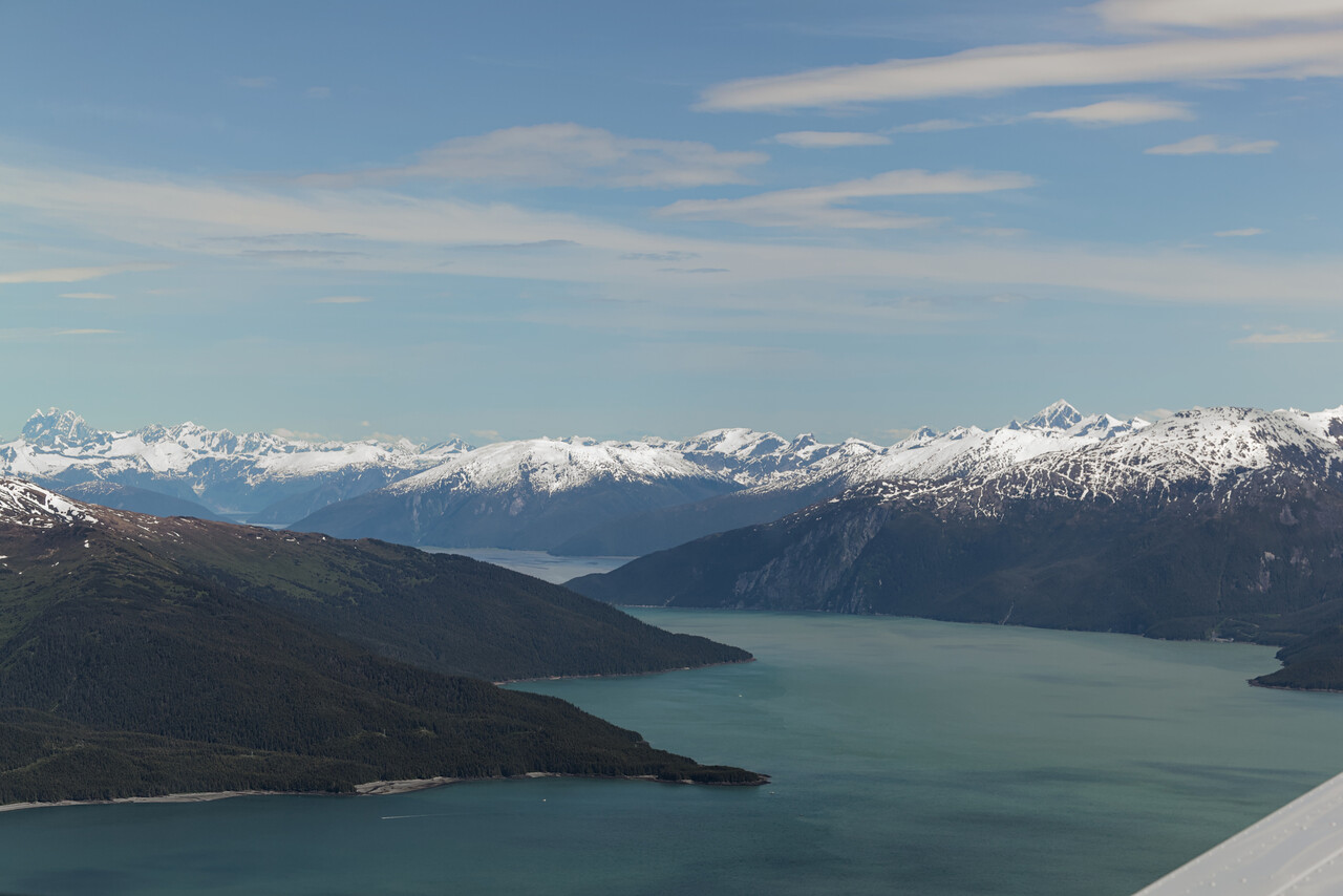
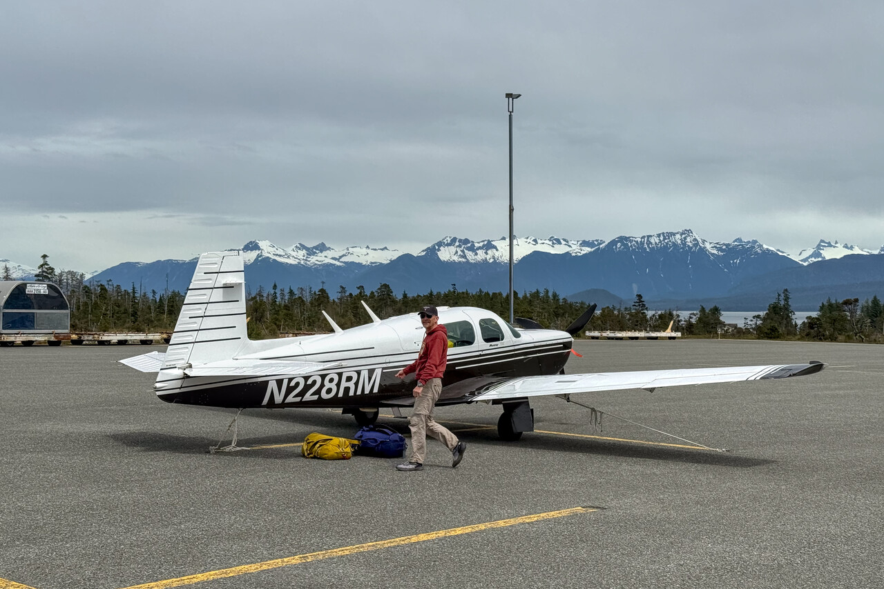
The port of Petersburg is too shallow for cruise ships, but there is quite some commercial fishing going on there. The town offers a bit more than Yakutat, there is a proper supermarket and even one or two restaurants as well as a nice hotel. The hotel rents out cars to explore the island, but in one day you can drive almost all the roads on the island at least once. We successfully tried to do that but unfortunately the weather was quite poor.
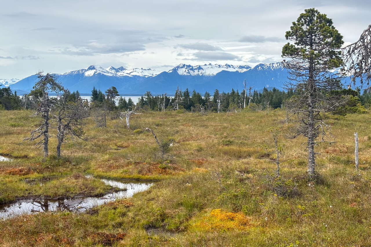
The day we flew from Petersburg to Ketchikan was a typical Alaskan VFR day – not as bad as our very first VFR flight in Alaska but not too pleasant either. The landscape was stunning nonetheless.
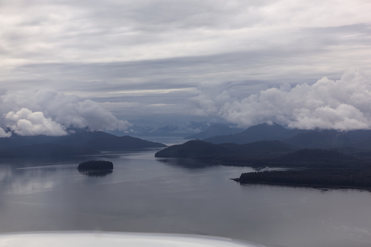
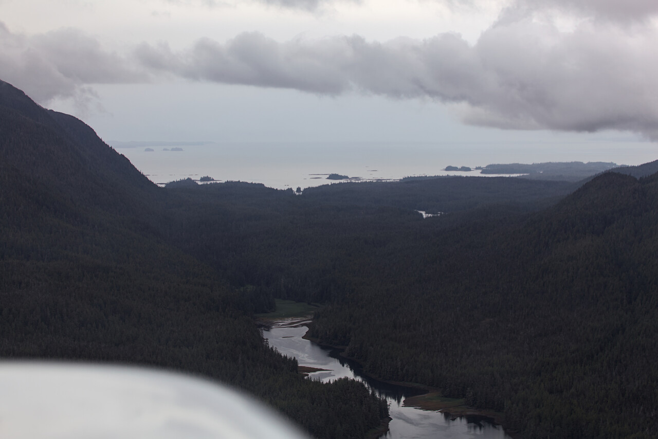
The airport of Ketchikan is located on an island which is separated from the mainland by a narrow channel. Floatplanes operate from that channel, and the island as well as the mainland are mountainous. PAKT is uncontrolled, but there is a radio operator at the field. On final he informed us “Opposing traffic: Beaver, Otter, Beaver” and visibility was rather low.
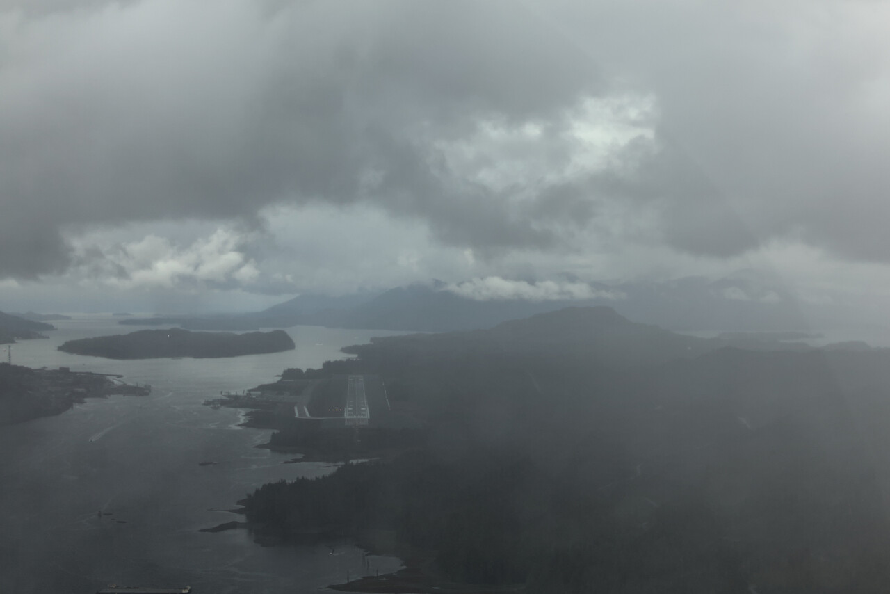
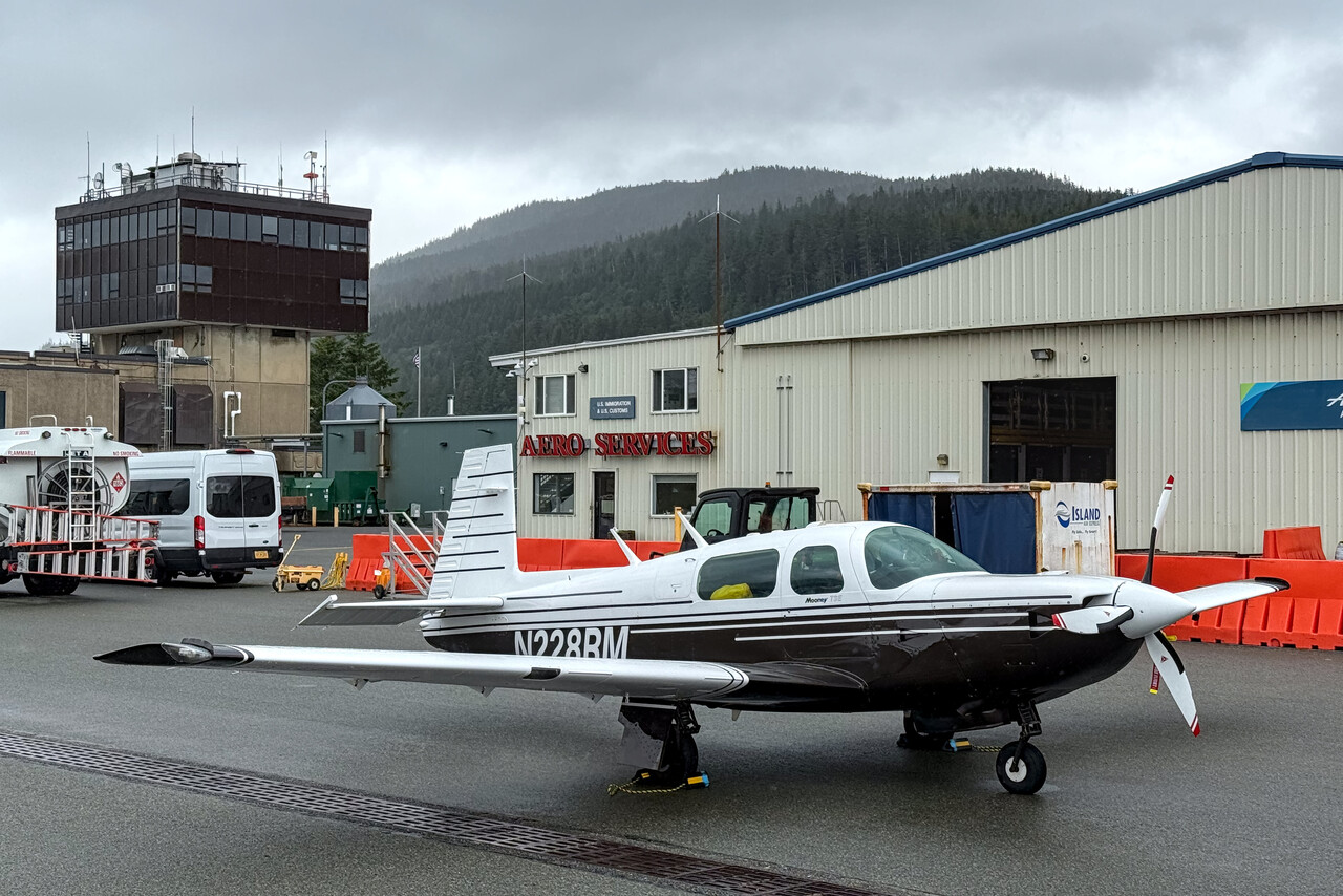
Ketchikan was the place most dominated by cruise ship tourism we visited. The town has 14,000 inhabitants, and on peak days 20,000 tourists pay a visit to this place. We were told that the overwhelming majority of the stores in town are owned by the cruise ship companies. There are signs all around that advertise Ketchikan as the shopping capital of Alaska. It escapes me why I would board a ship, disembark in Ketchikan and purchase stuff that I could get on the ship from the same vendor. Anyway, most of the cruise ship tourists seemed to be very happy, so it’s not on me to judge. One could ask why anybody would fly a small aircraft from Europe via Japan to Alaska, spend a fortune on it and still couldn’t be happier 😂
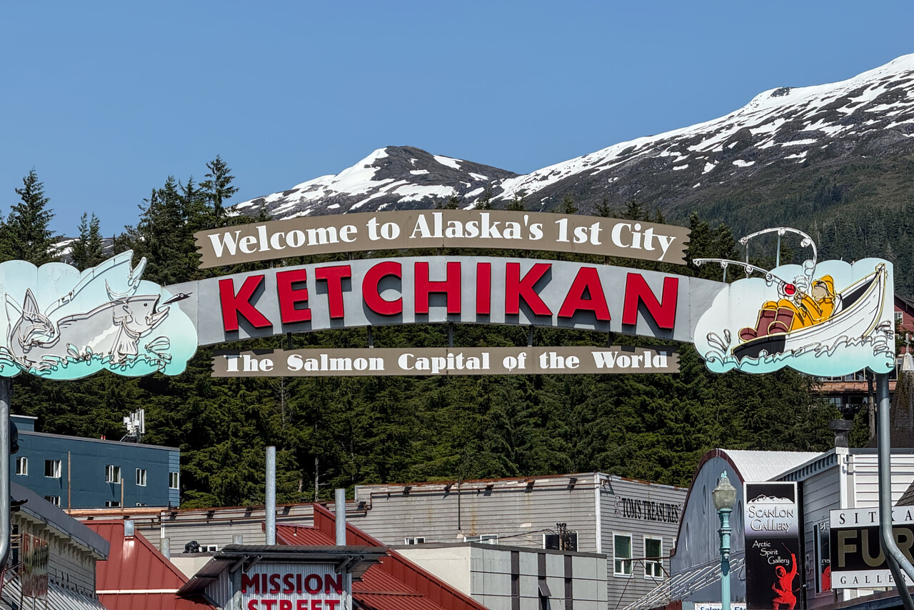
The landscape surrounding Ketchikan is incredibly beautiful. One can climb Deer Mountain from downtown Ketchikan, but it is a thousand meter scramble. The vistas from the summit are exceptional, though.
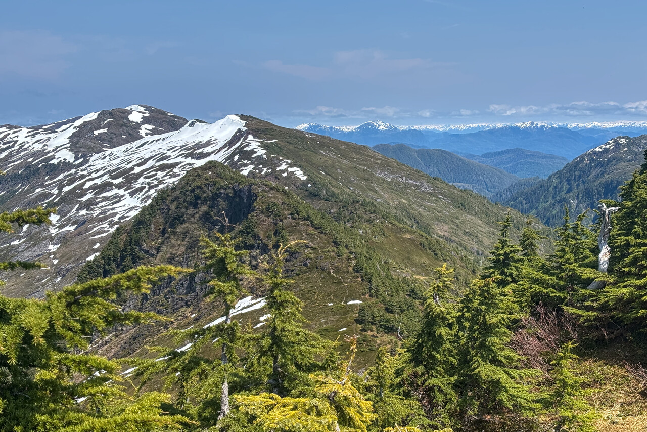
The flight to Washington state crossed Canada, so a flight plan would be necessary anyway. While weather was forecast to be nice for the first two thirds of the flight, it was expected to be poor at our destination, so we filed IFR. Unfortunately it was very hazy so we didn’t get the nice views of BC we had hoped for, but at our destination it was much better than forecast.
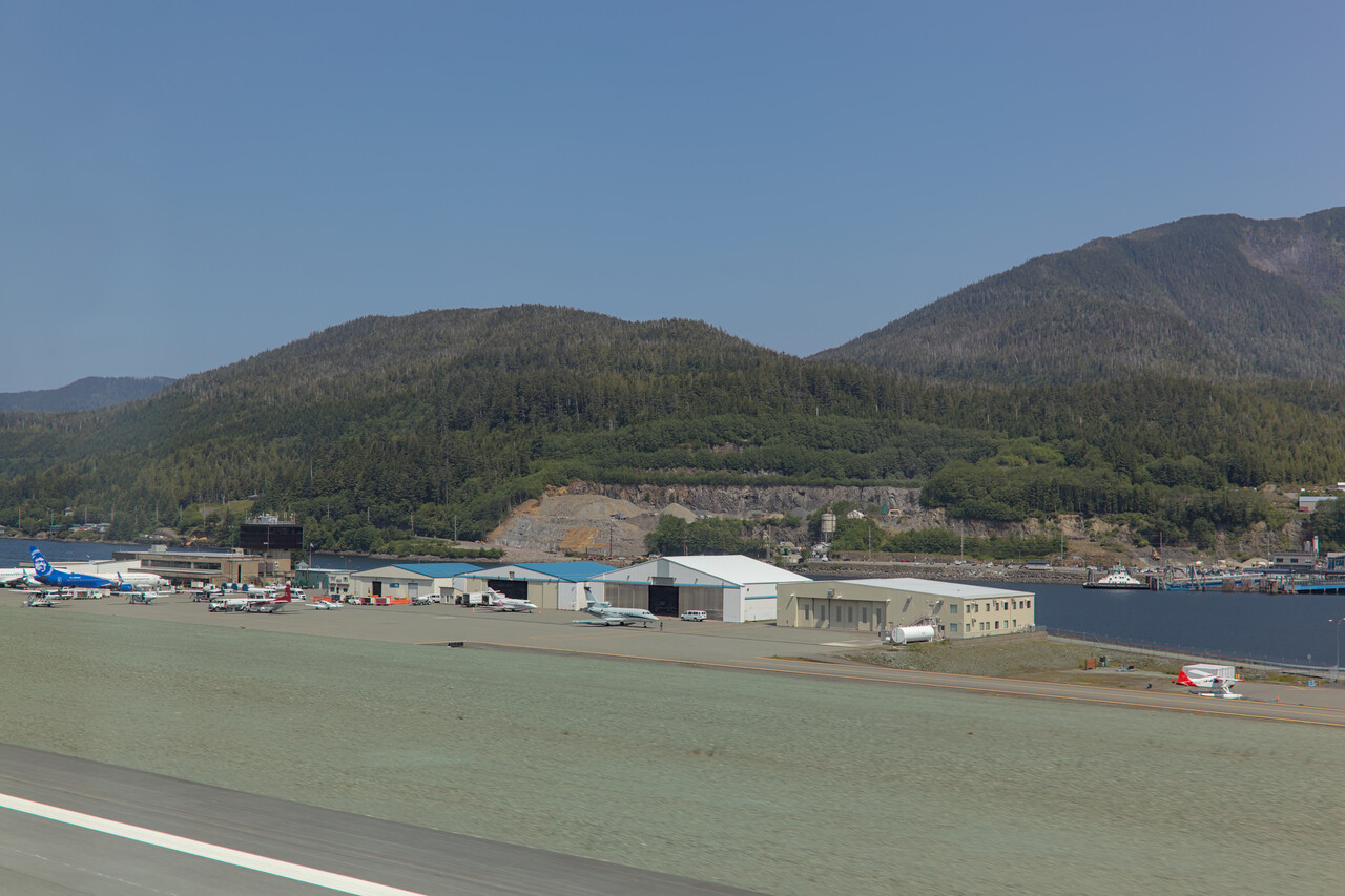
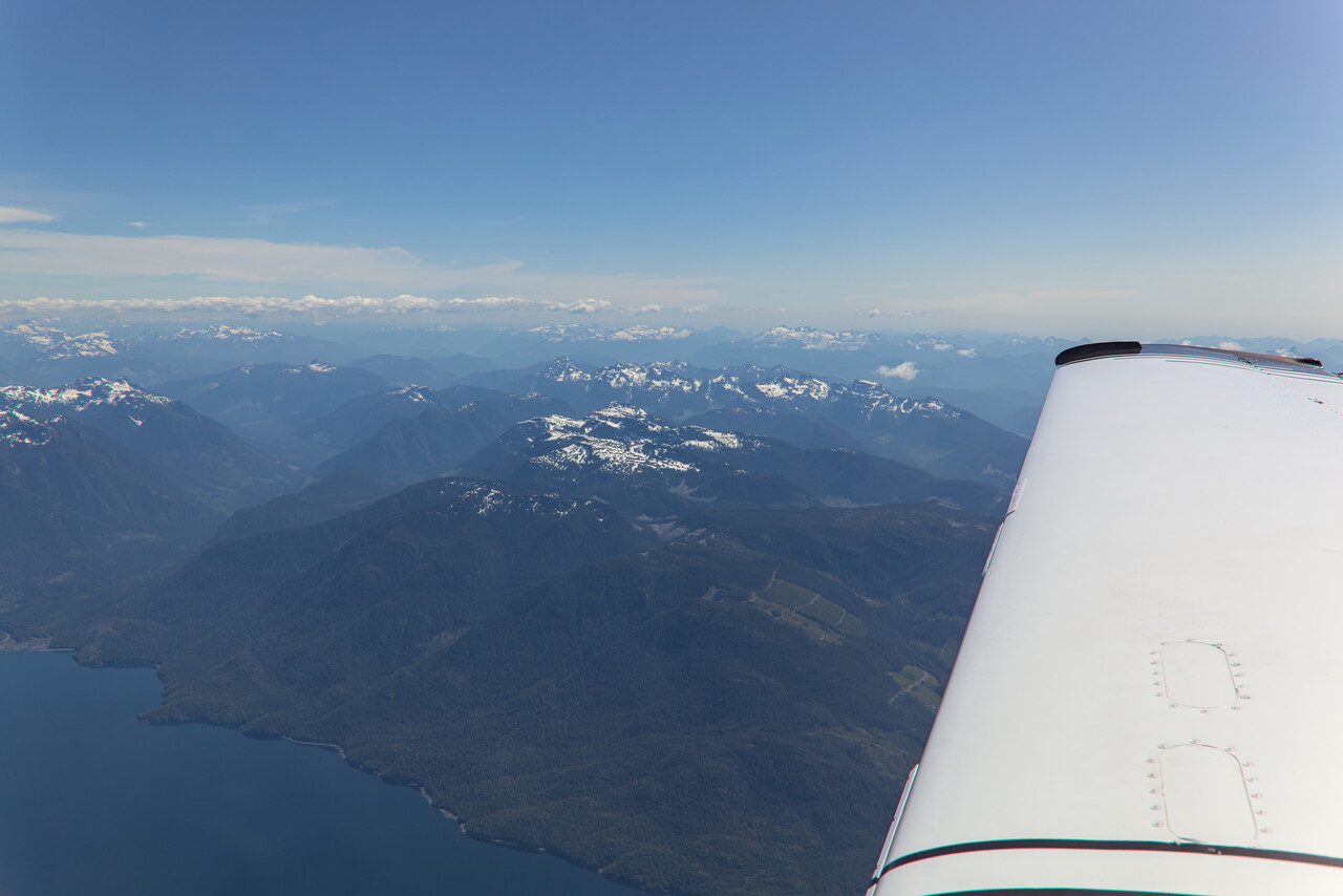
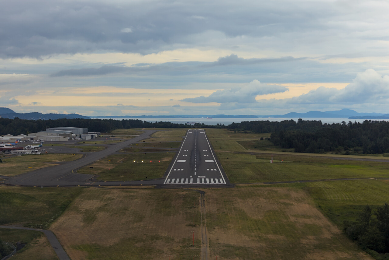
Pilgrimage to OSH: Across the Lower 48
This wasn’t our first visit to the US with RM. Besides the rather brief overflights during our South America trip we had flown around the US for a couple of months in 2014 when we visited many of the top tourist attractions. We paid our first visit to the EAA Airventure in Oshkosh back then as well.
We really love the natural wonders in the US and there were quite a few we hadn’t visited (there still are more) yet. Moreover, we wanted to land at some interesting airfields and do some scenic flights, mainly in the southwest. We chose our route accordingly and ended up flying Bellingham (KBLI), Redmond (KRDM), South Lake Tahoe (KTVL), Lee Vining (O24), North Las Vegas (KVGT), Sedona (KSEZ), Monument Valley (UT25), Telluride (KTEX), Laramie (KLAR), Dodge City (KDDC), Ankeny/Des Moines (KIKV), Oshkosh (KOSH), Escanaba (KESC). Flights were not as adventurous and destinations not as exotic, so there is not that much to write about but we took a few nice pictures, I hope.
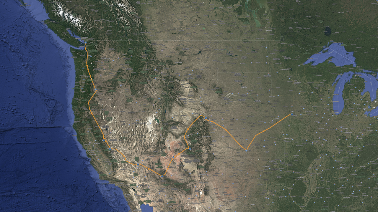
West Coast States
Visiting national parks and other sites in the US usually requires a vehicle so we had to rent a car at most of the stops. We did so in Bellingham and drove to the east for two hours to visit the North Cascades NP. It’s one of the less visited parks, but it is a spectacular destination if you like hiking. We found a rustic lodge and spent two lovely days in the area.
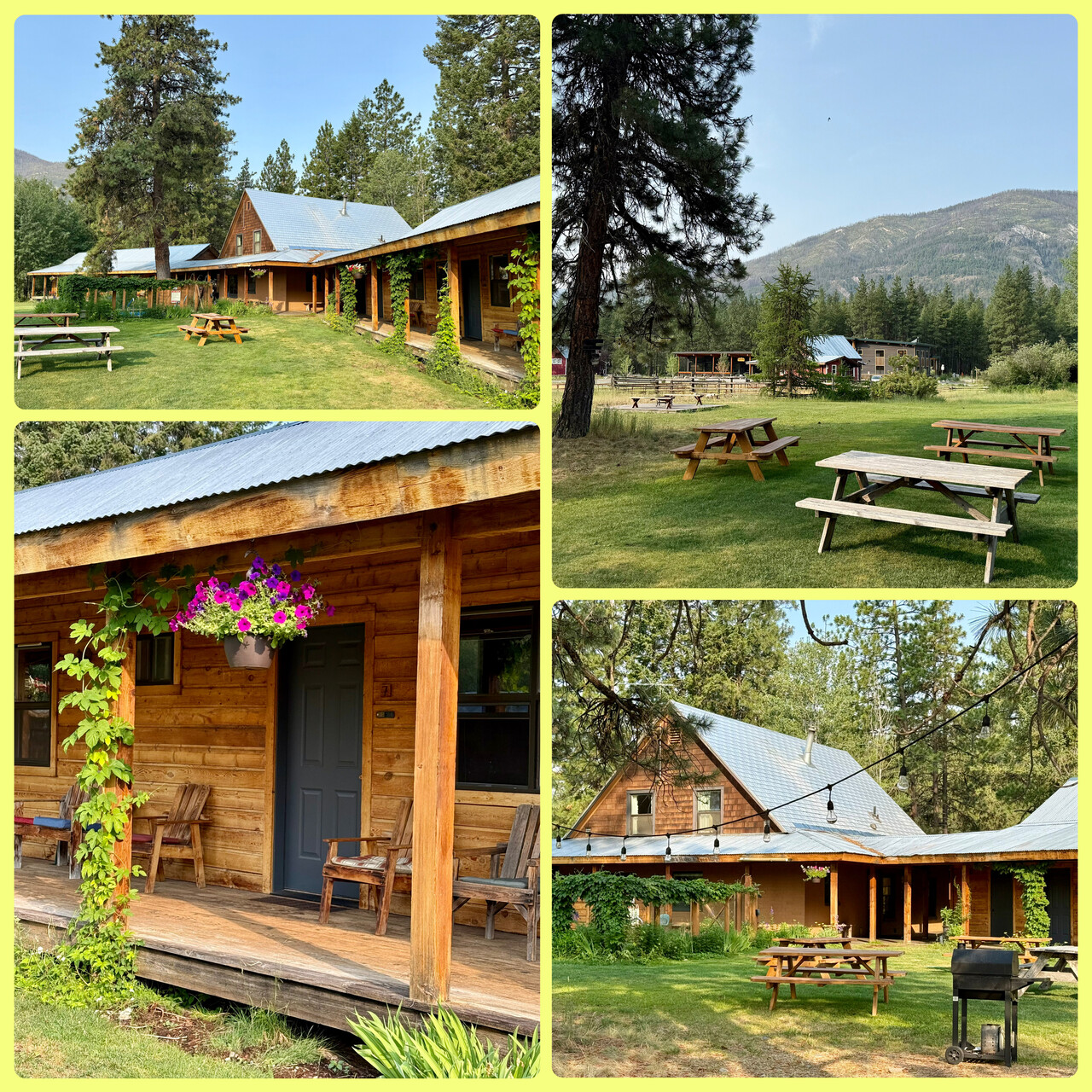
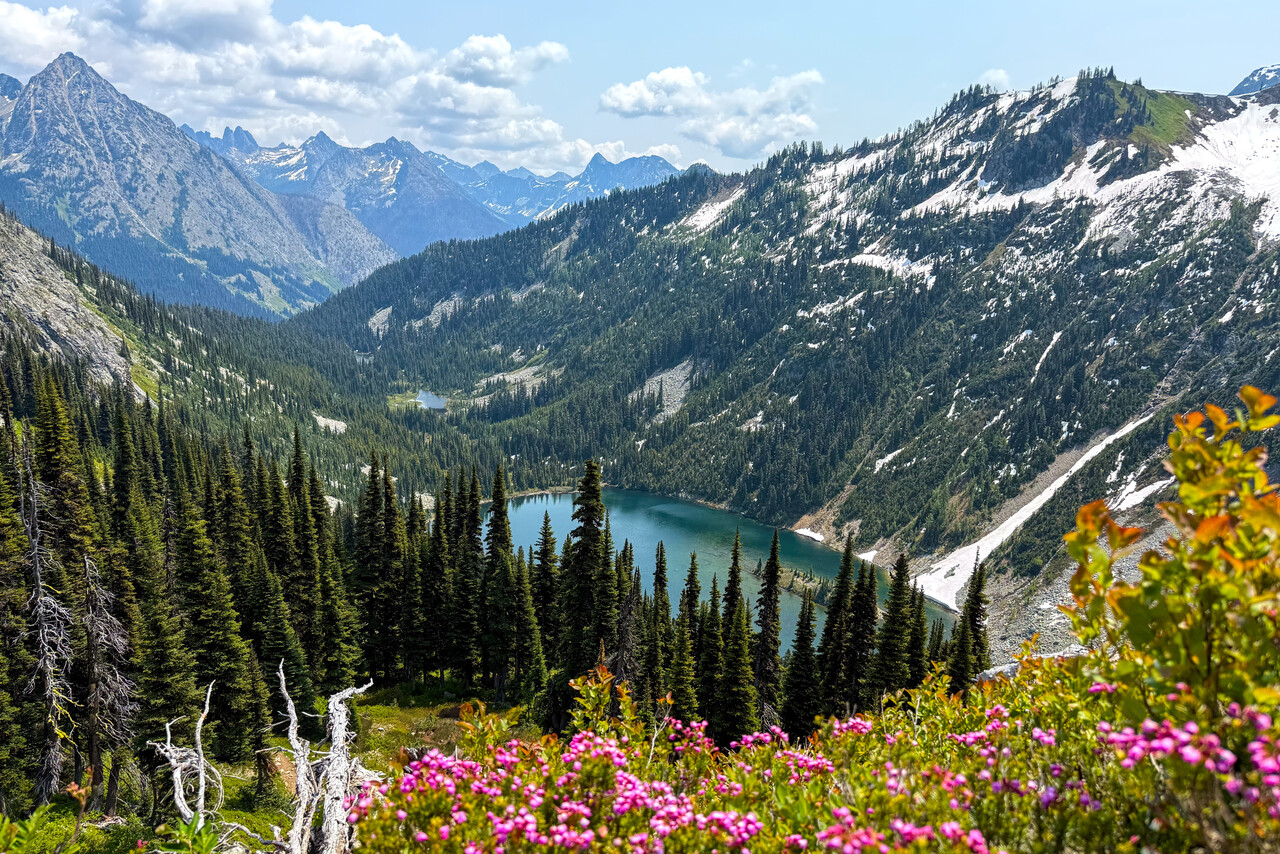
We had to depart Bellingham IFR but were able to cancel once we were on top of the clouds. In fact this was our last IFR flight in the US. Once we were VFR, we had nice views of mighty Mt. Rainier and we circled Mt. Saint Helens.
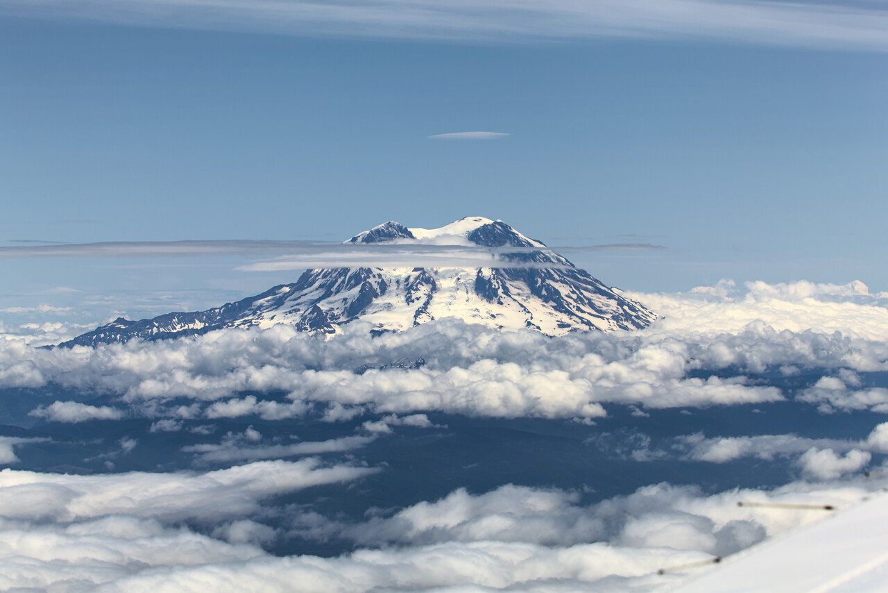
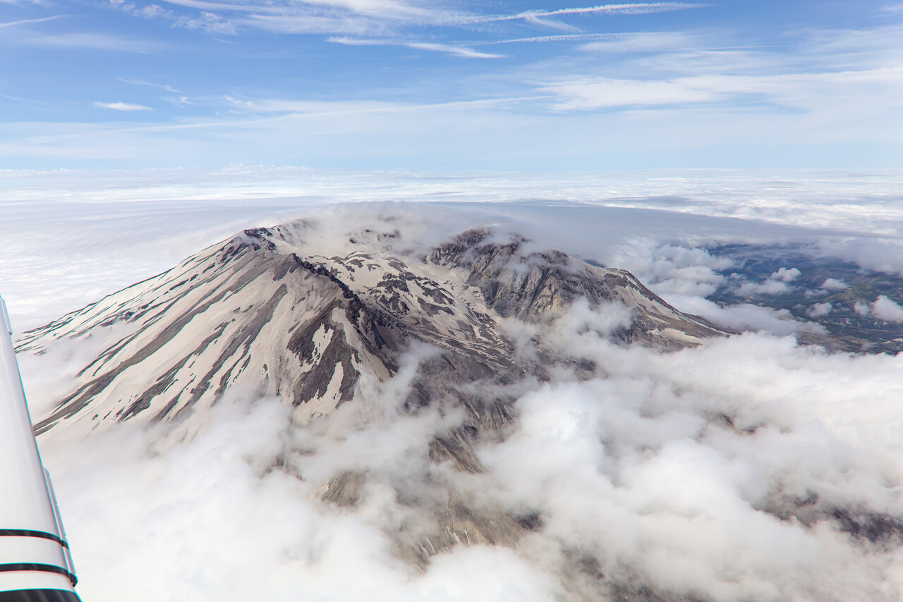
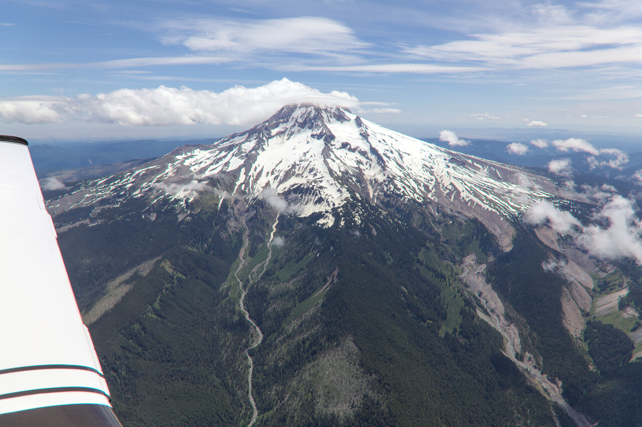
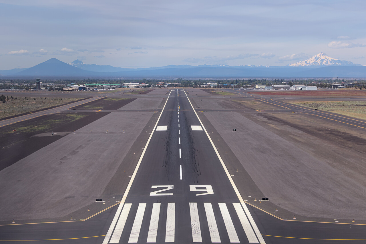
We had chosen Redmond because we could get a rental car there what wasn’t that easy in Bend, where we wanted to fly initially. However, our actual destination was the Crater Lake NP and a few other sites nearby.
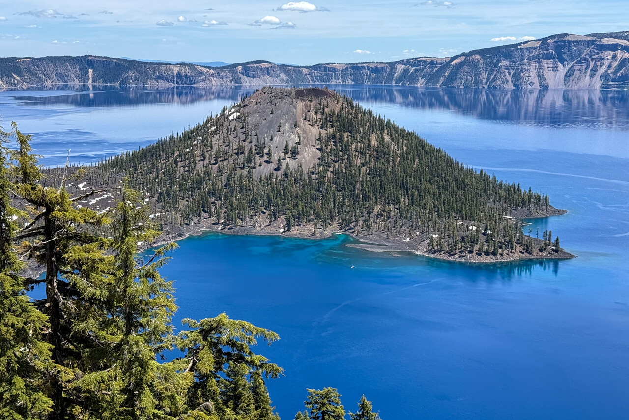
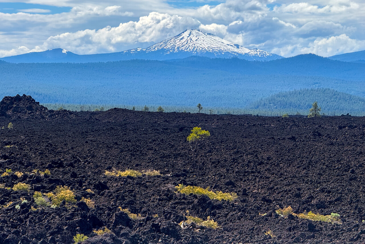
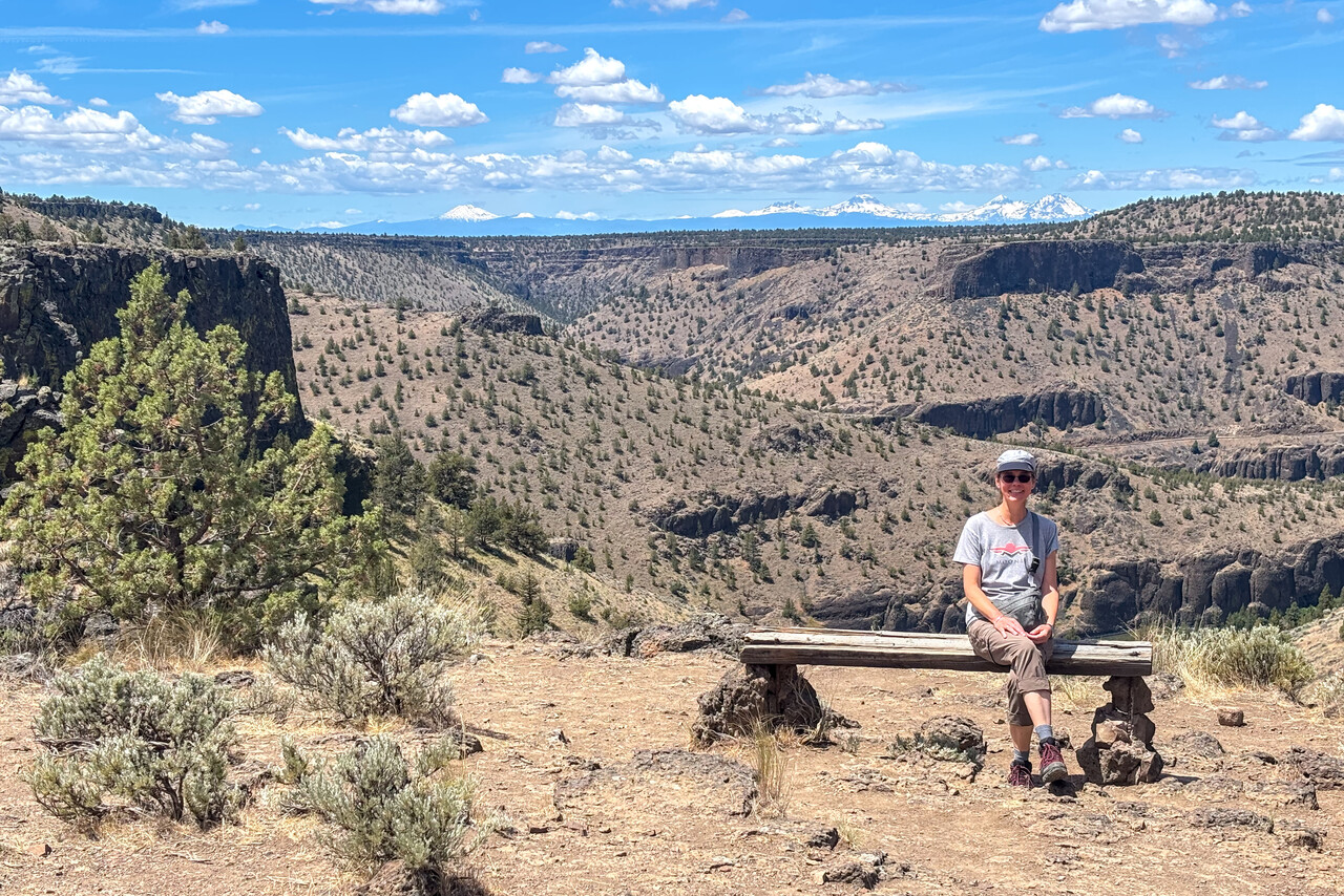
We enjoyed really beautiful weather on our flight from Redmond to South Lake Tahoe, as we did on nearly all our flights in the US. We made a little detour from the direct route, so we could take photos of Crater Lake from the air.
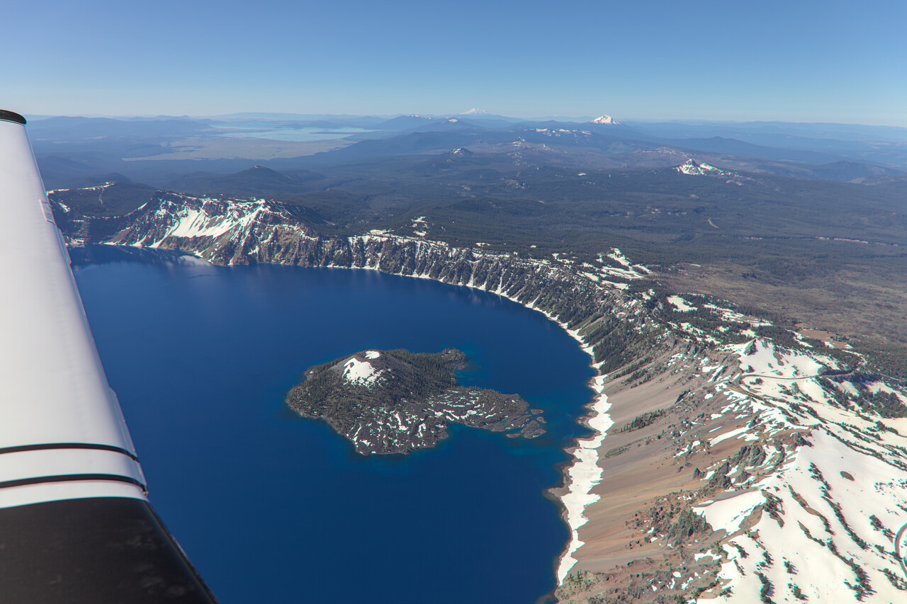
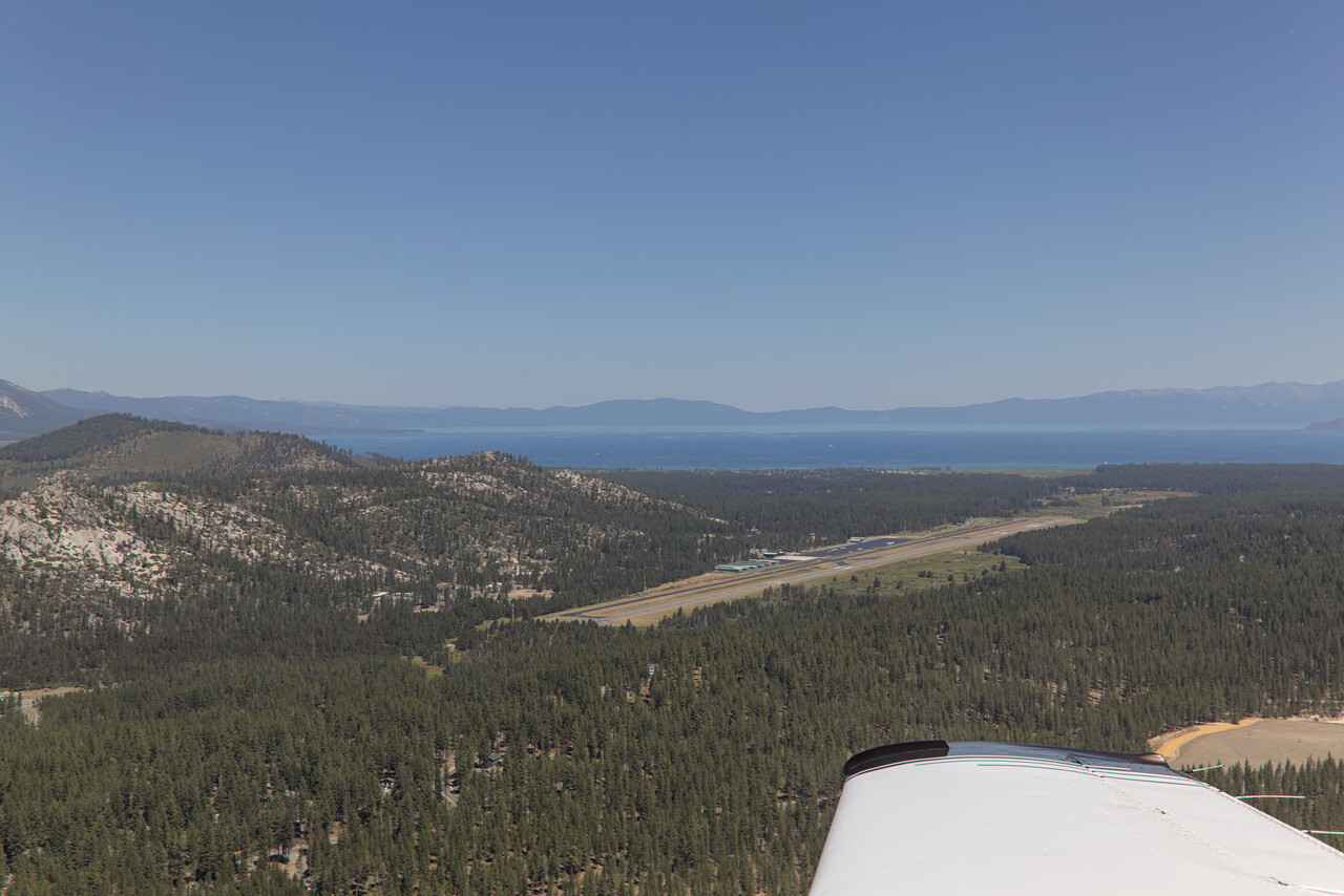
Unfortunately we arrived at South Lake Tahoe on a Saturday and were not able to get a rental car. It would have been nice to explore a little more of the area but at least we were able to do an extended hike on Sunday.
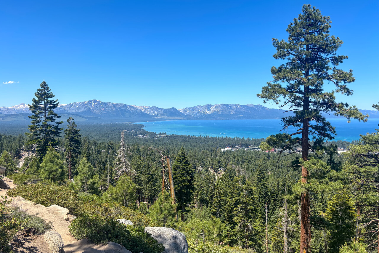
When we flew around the USA back in 2014, we saw Mono Lake from the air, and ever since I wanted to return to see it from the ground. We found out that Lee Vining on the western shore has a little airstrip and motels in walking distance, so we made this our next stop.
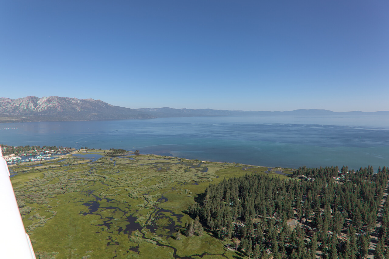
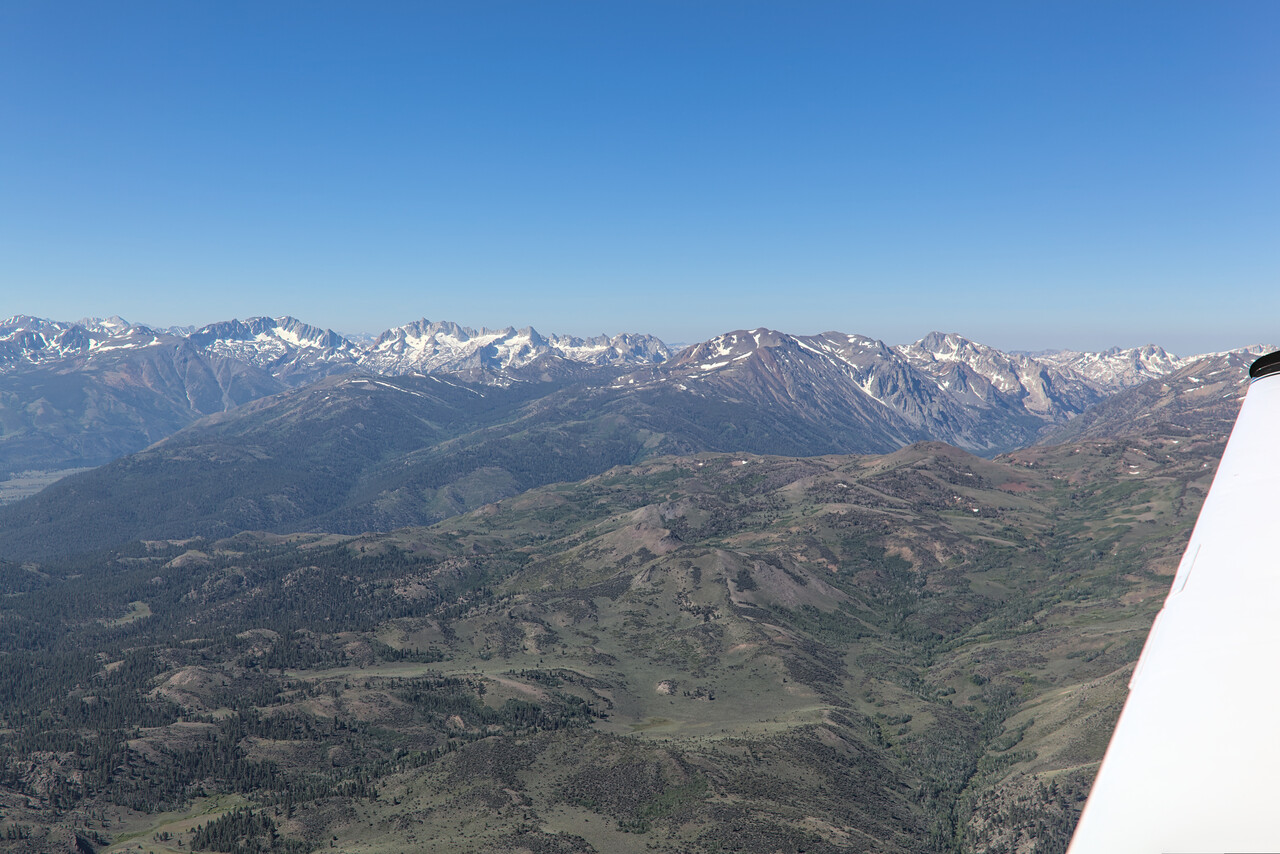
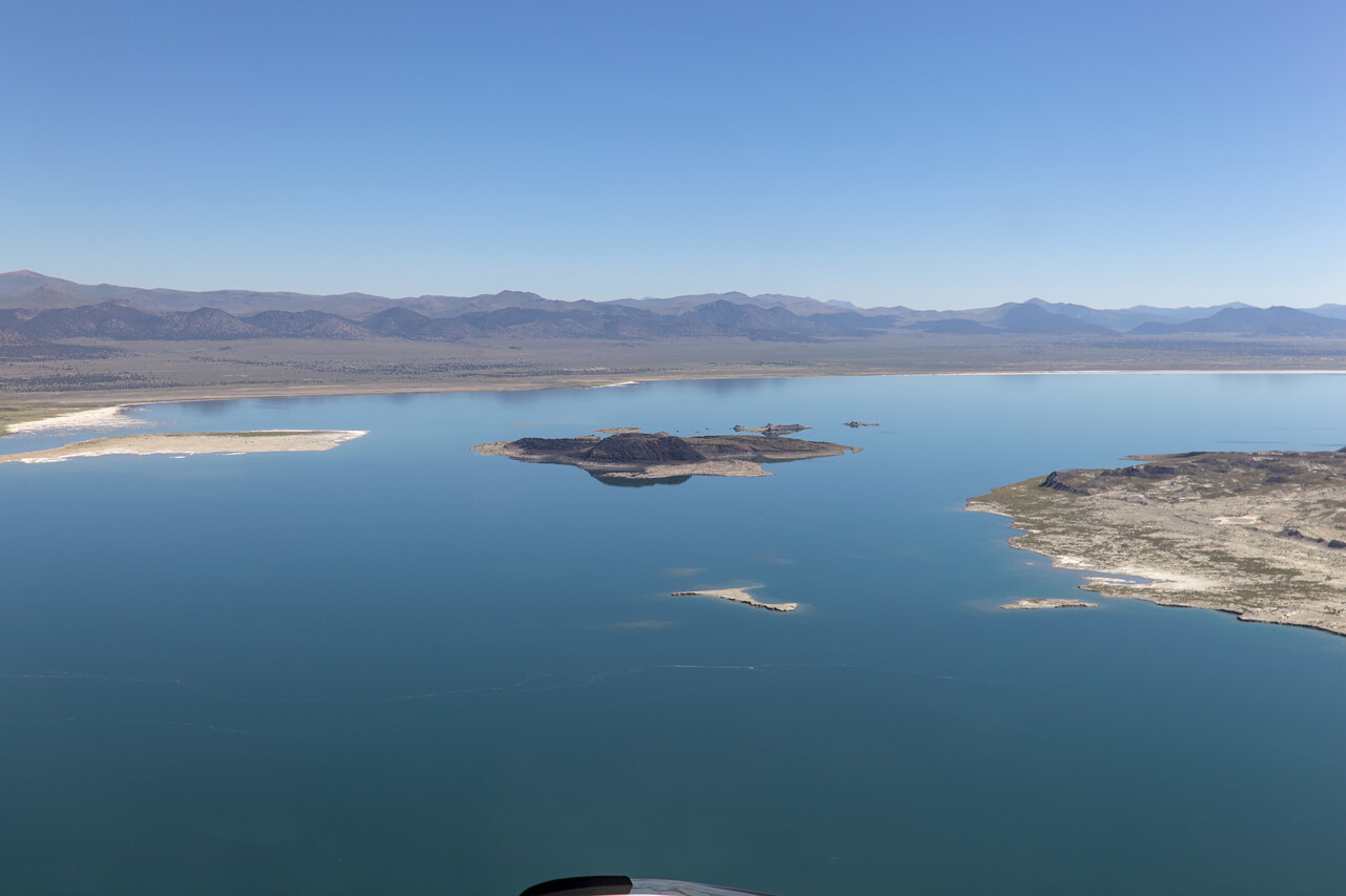
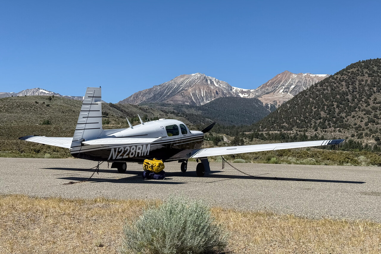
There are only streams flowing into Mono Lake and it only loses water by evaporation. It is therefore extremely salty. Some species of migratory birds seem to like this environment very much.
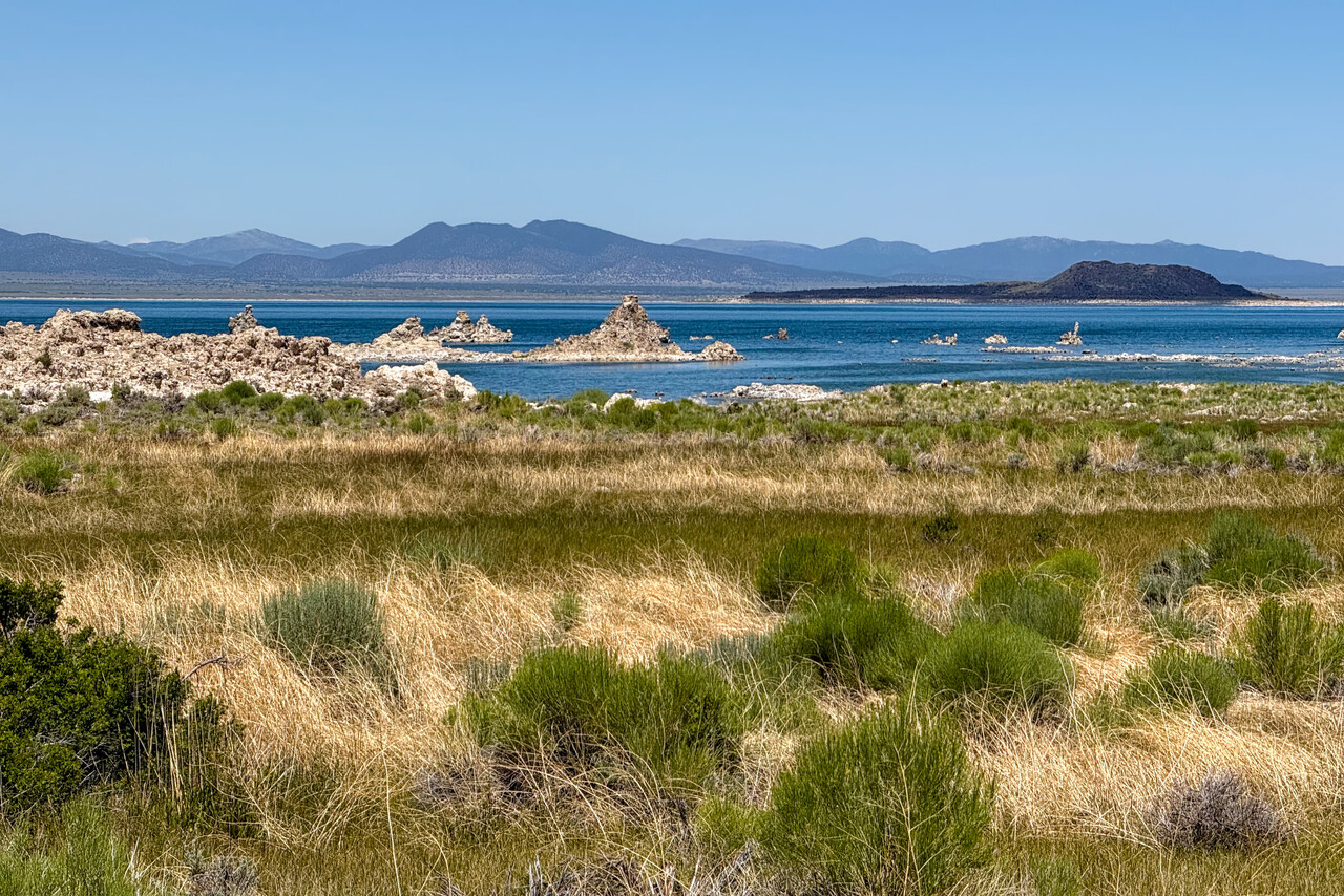
Another place I really wanted to land at would have been Furnace Creek in the Death Valley – the name alone would make it worth the journey. However, the chart supplement for the airstrip contains the following note: “Rwy 15–33 pavement heaving extremely rough sfc. Potential for dmg to acft using this rwy. Not rcmdd for acft with wheel pants. Rwy 15–33 up to 4 inch salt heave arnd rwy cracks. Could dmg acft with wheel farings or cause a potential to blow out a tire. CA State pmt has been suspd until further notice.” This didn’t really sound suitable for a Mooney. I still wanted to see Death Valley though and the nearest place we could get a rental car was North Las Vegas so we made that our next destination.
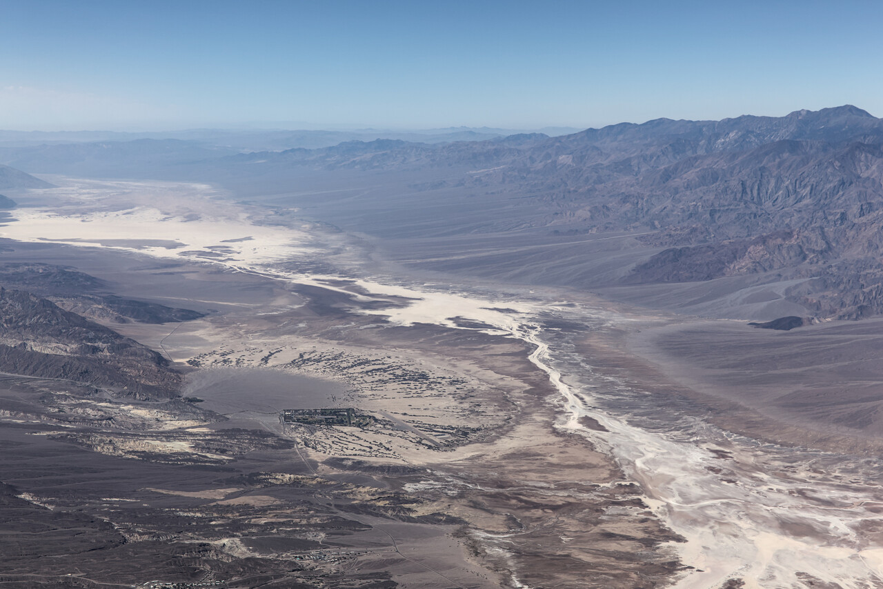
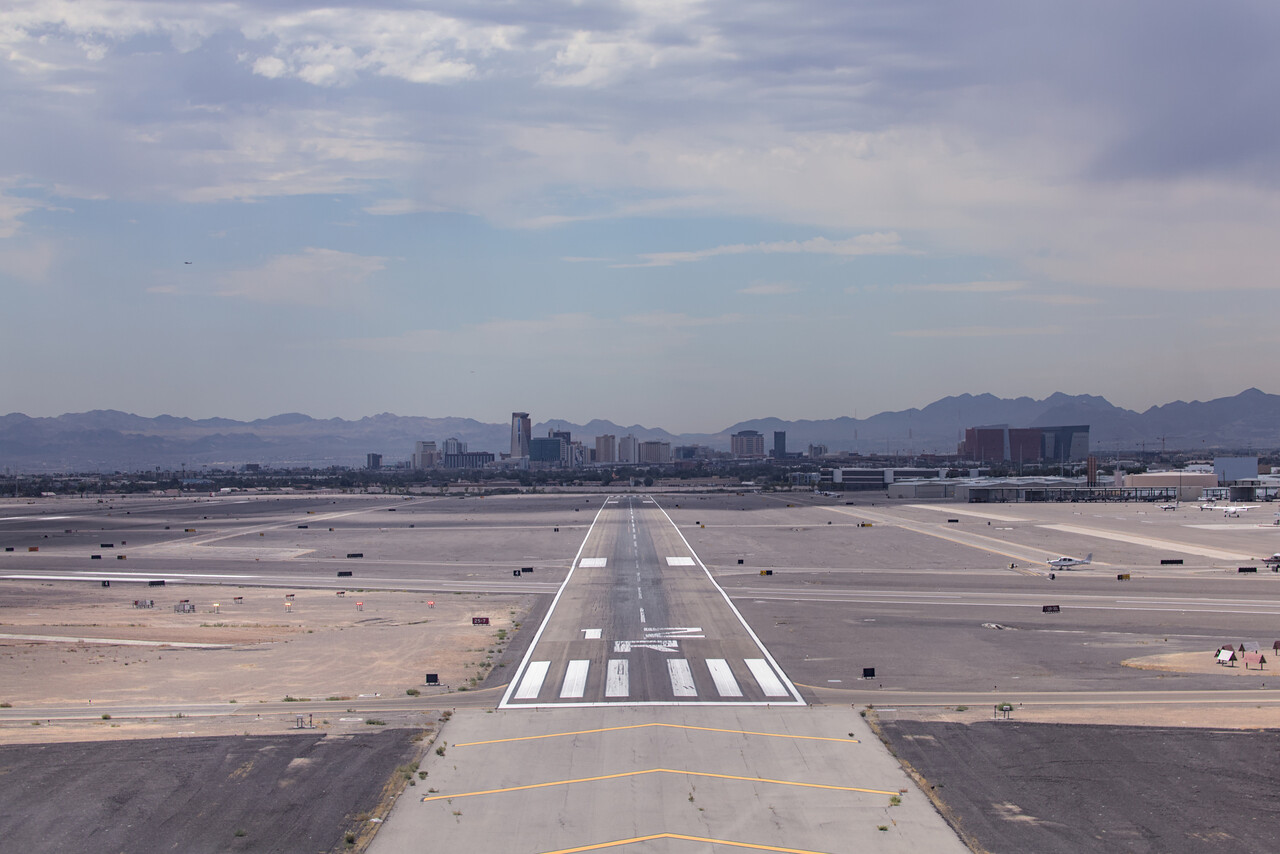
Desert Southwest
I was not too keen on visiting Las Vegas even though I had never been there while Tina had, but she said “we can’t land there without spending a night on the strip”. We did so, of course, and while I don’t consider it a highlight of our journey, it was quite nice. However, our visit to Death Valley and our stay at The Inn at Death Valley was really great.
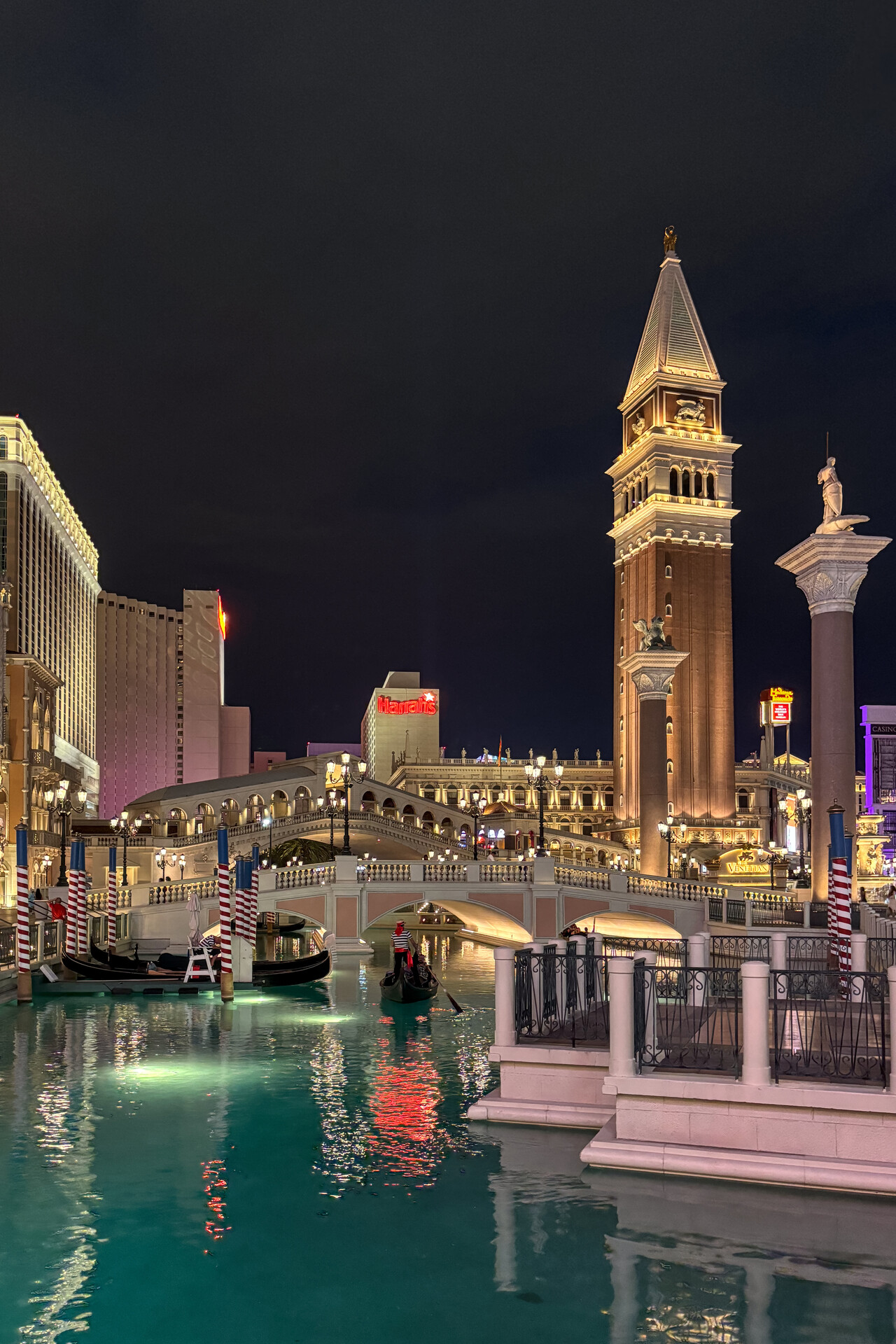
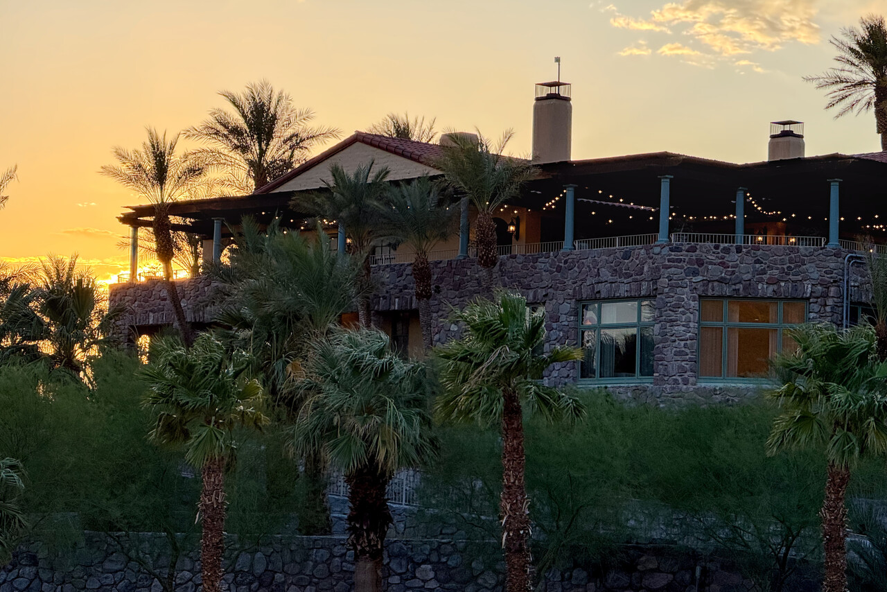
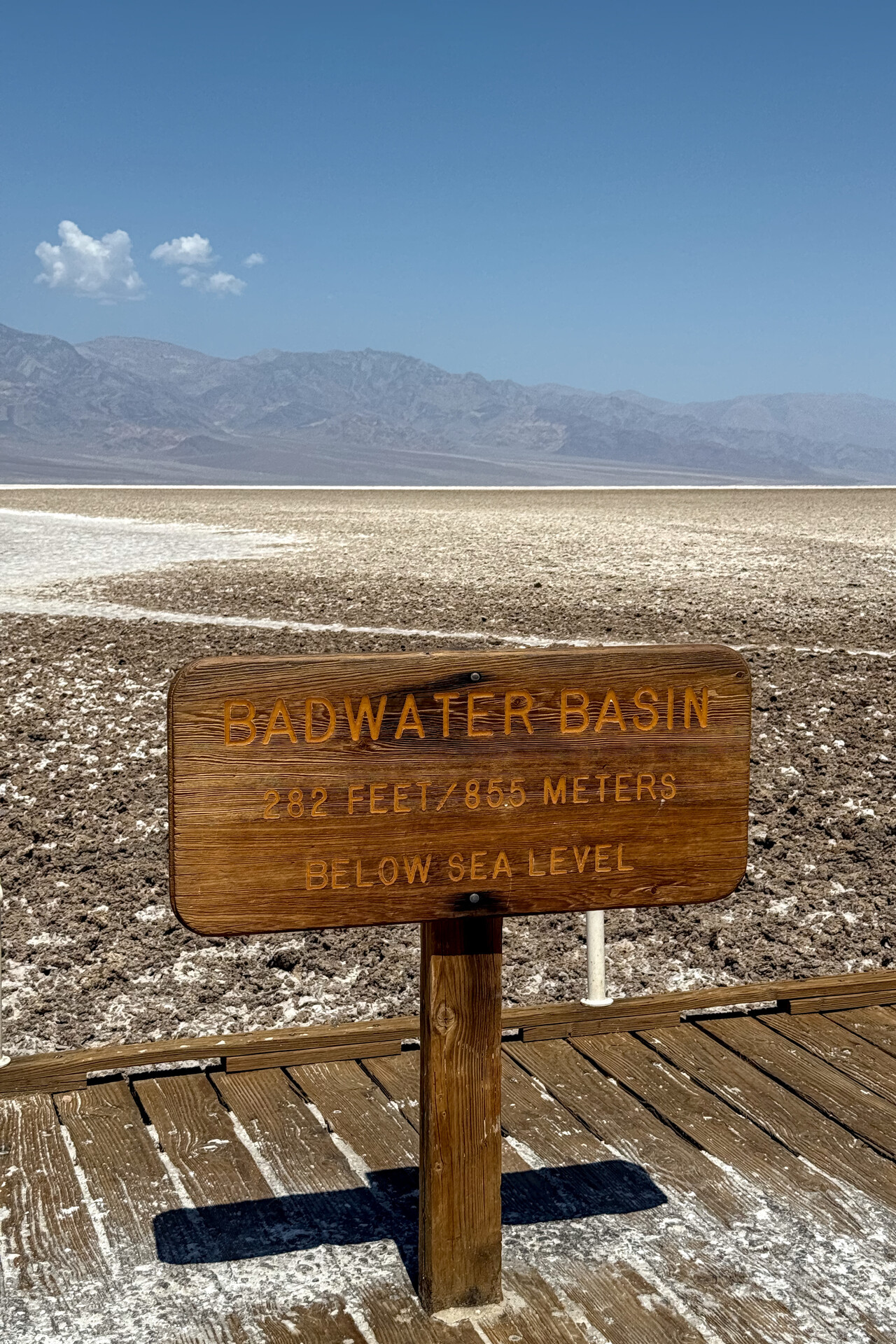
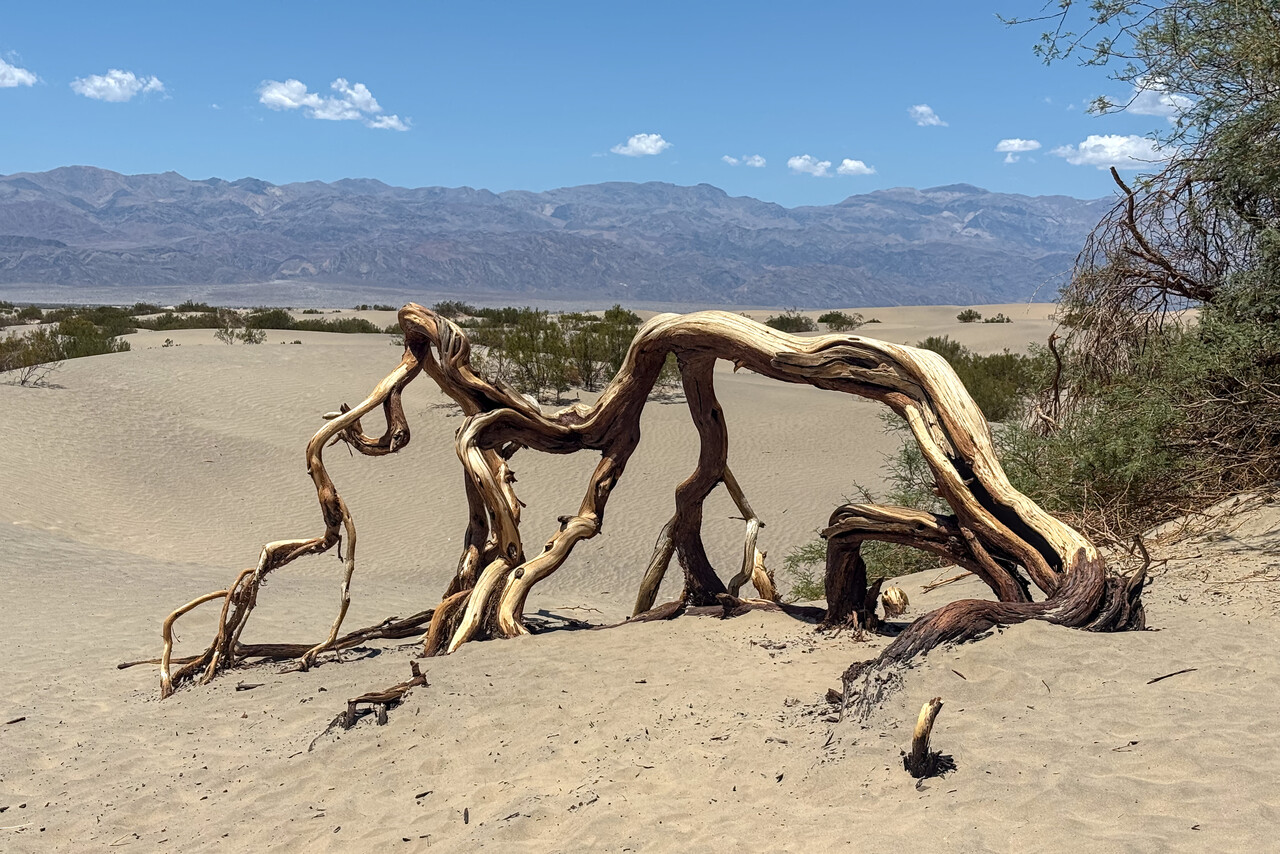
If there is one airfield in the southwestern United States that is known among pilots around the world, it is probably Sedona. The landscape around the town is spectacular and the location of the field on top of a mesa is unique. We had to skip Sedona last time, so it ranked high on our list this time.
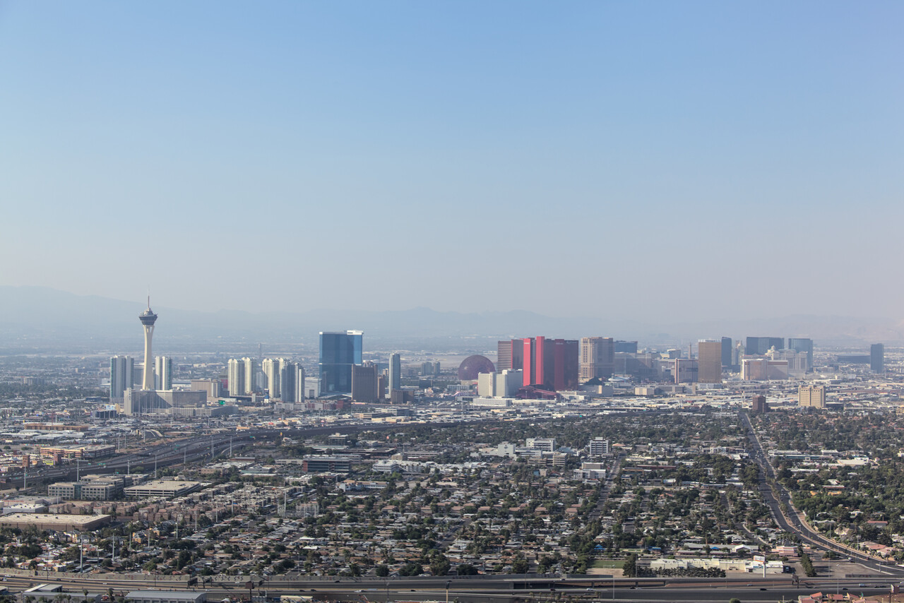
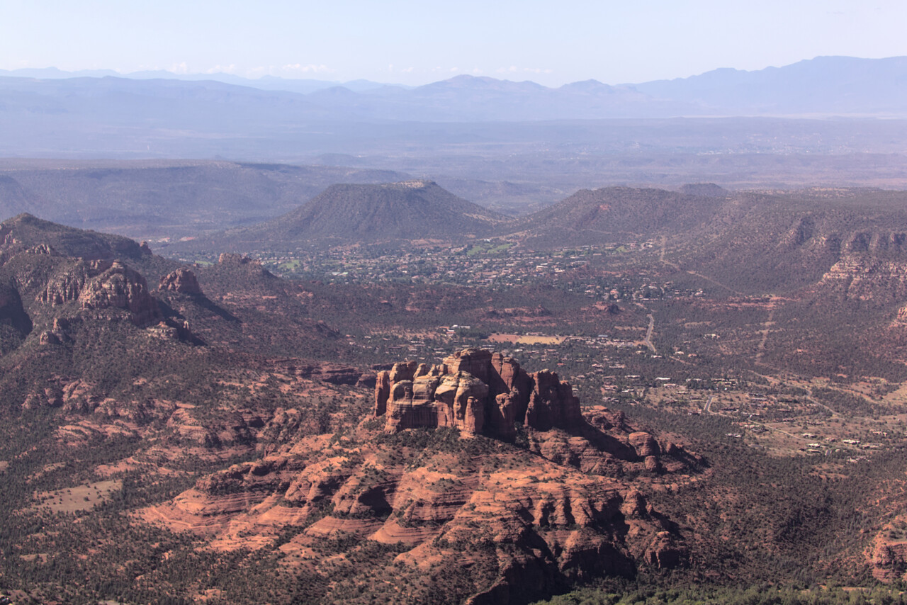
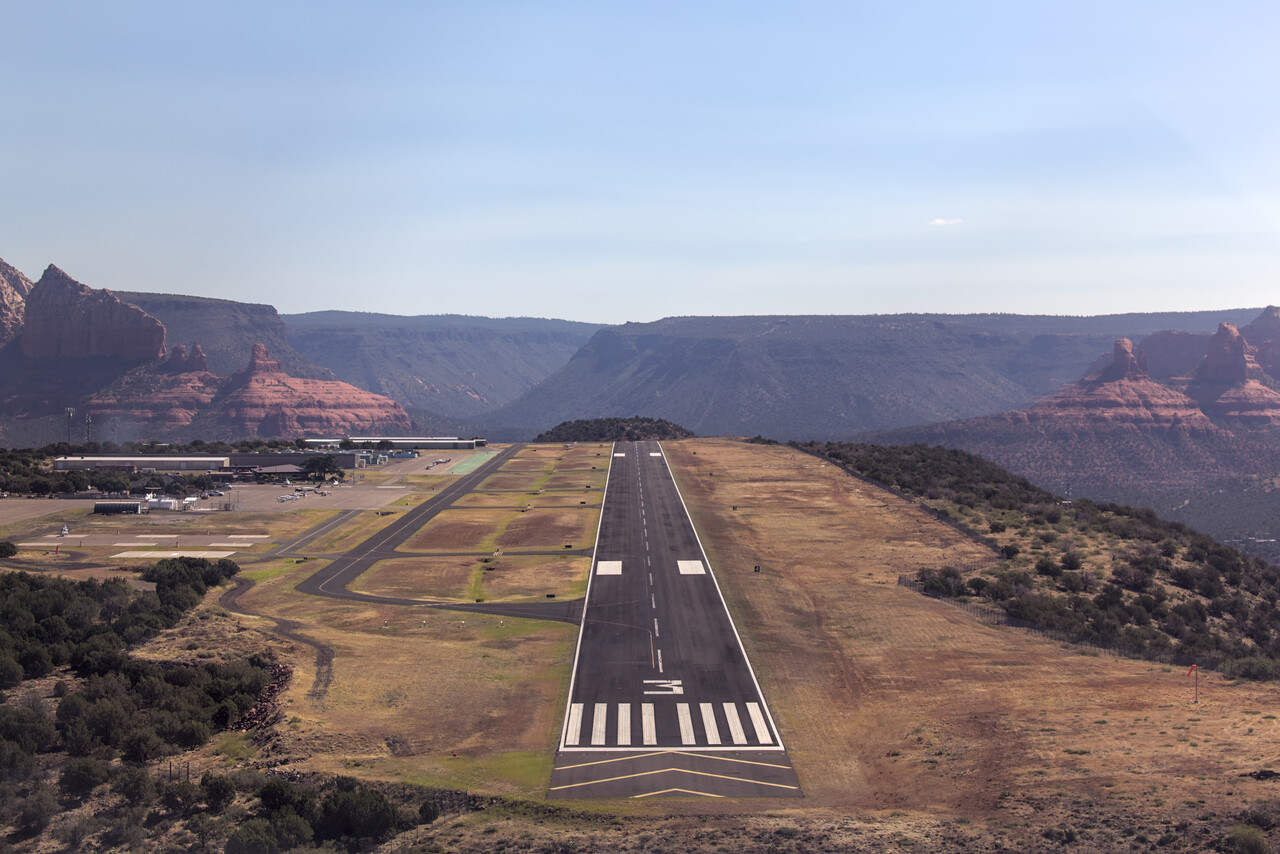
Some people say that KSEZ is the most dangerous airfield in the US and in fact many incidents do happen here. However, this is mainly because many pilots flying in are ill-prepared. This place deserves respect, but with a little mountain flying experience and proper preparation it is not a problem at all.
After our arrival we were able to rent a car for cheap in the FBO’s building. It was a wreck but at least it didn’t break down while we had it. We stayed for two nights and we did a long hike that we enjoyed very much on the second day, but it was really hot!
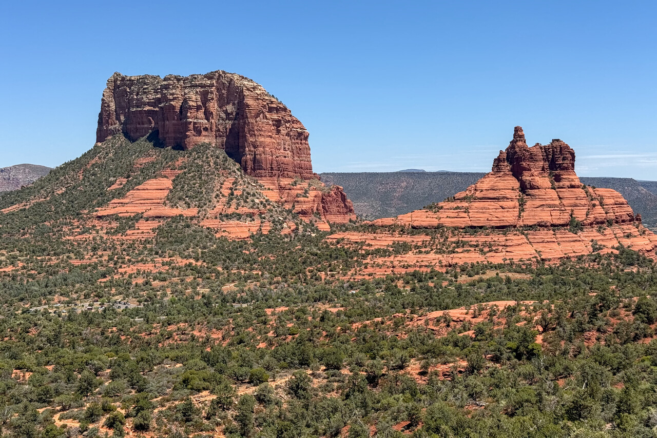
We had done a sunrise flight over Monument Valley in 2014 but we didn’t land there back then. The airfield is quite interesting and we really wanted to see these rocks from the ground as well, so this was our next destination. The flight from KSEZ to UT25 was really enjoyable.
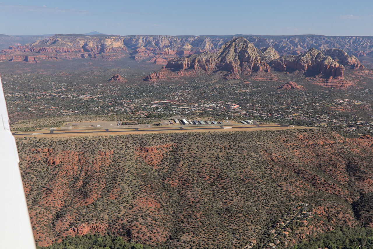
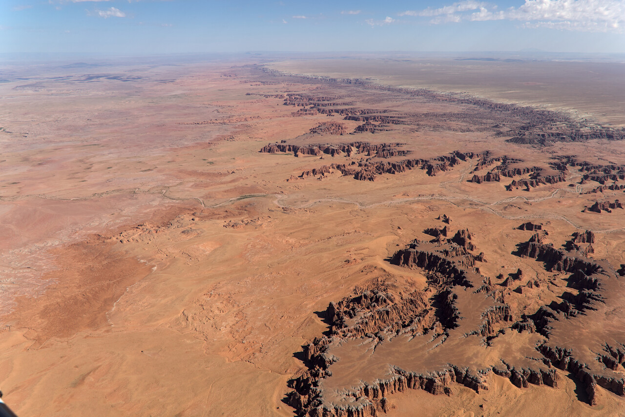
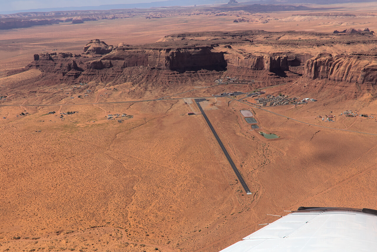
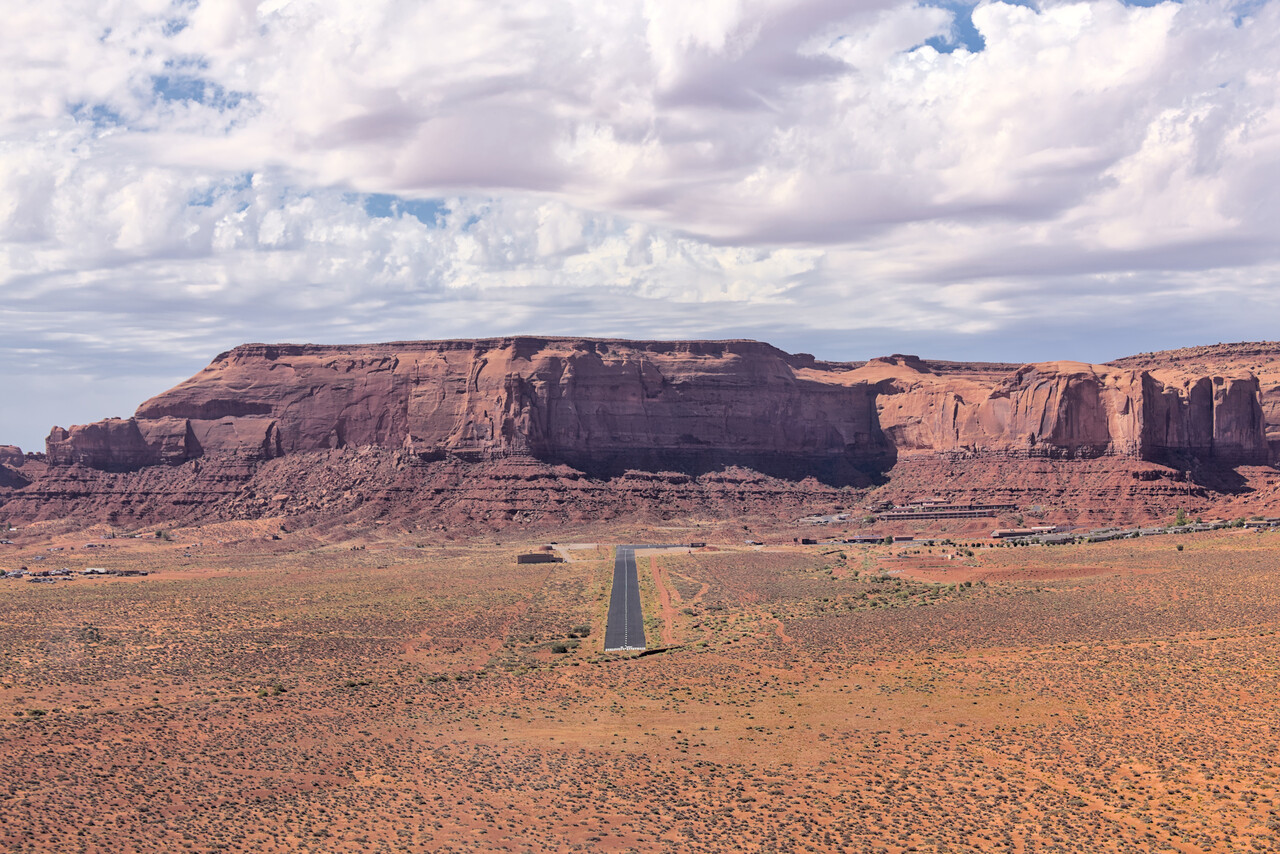
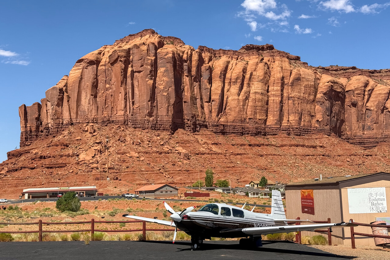
We had booked a room at the incredibly expensive lodge (a simple motel, actually) and took a tour to the rocks in the afternoon. While it was kind of a rip-off, the tour was nice and the view from our balcony was top notch.


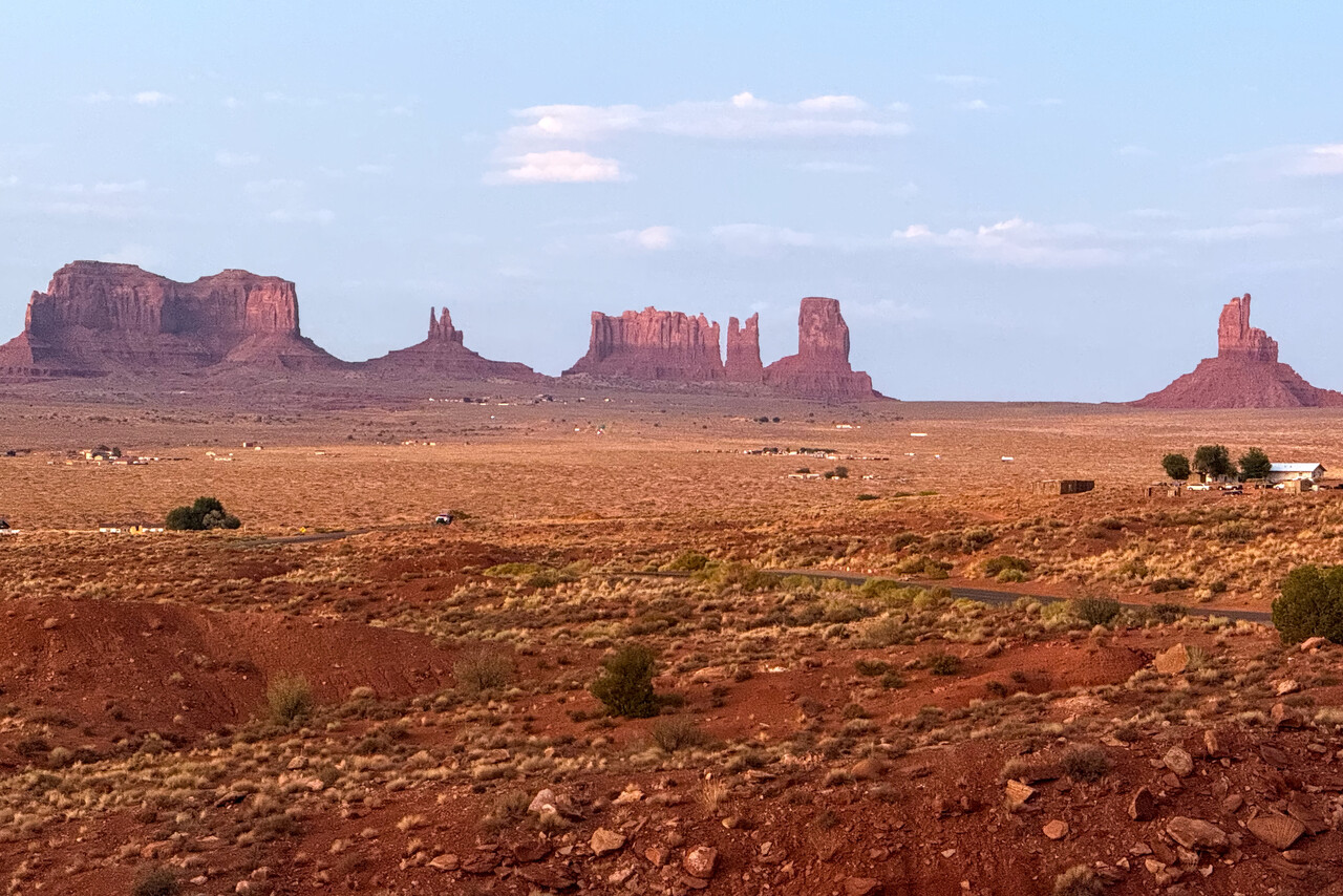
Already back home we had arranged to meet with a German friend in Oshkosh. He had flown his RV8 across the Atlantic several times before and we wanted to attend the show together. On the evening we spent at the lodge we learned that he was in the area as well and so we had a little impromptu formation flight over the rocks the next morning.
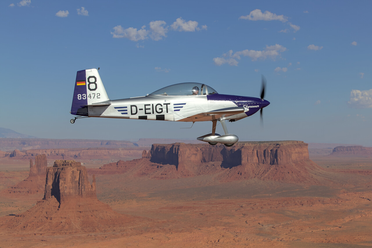
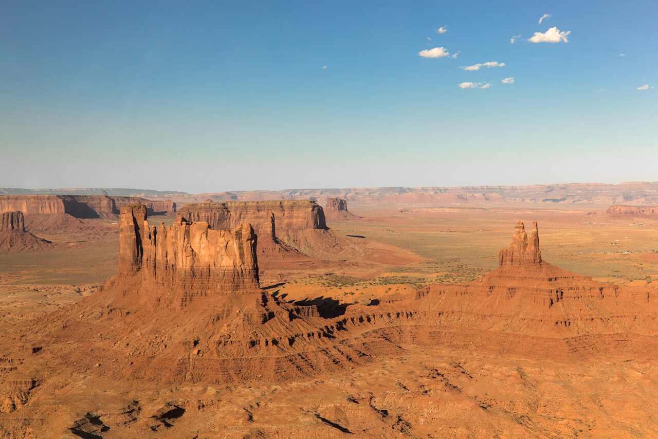
The Rockies
We continued our flight to Telluride, which is also an interesting airport at an elevation of around 9,000 feet. Density altitude is usually much higher and it’s located on a mesa, but otherwise it’s not difficult. The runway is long and the valley offers ample room to maneuver.
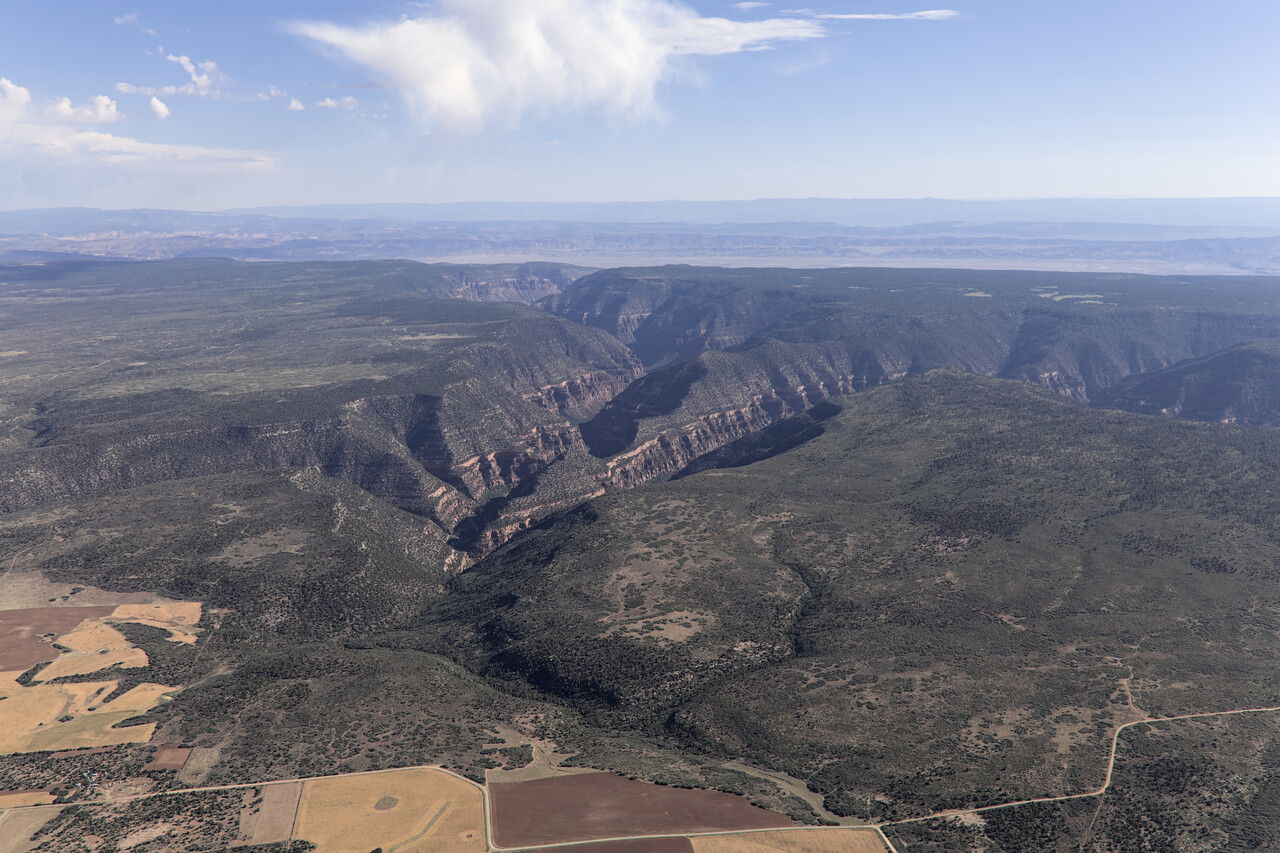
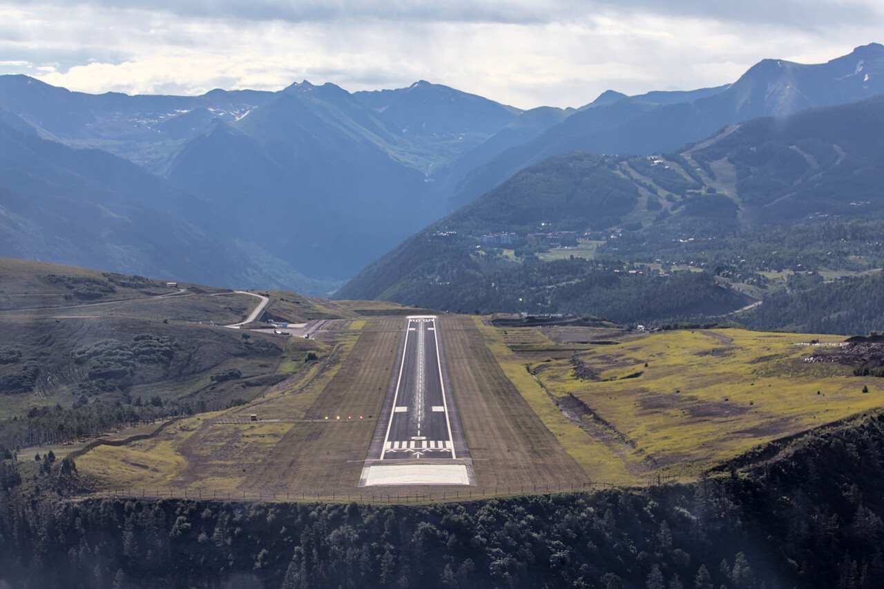
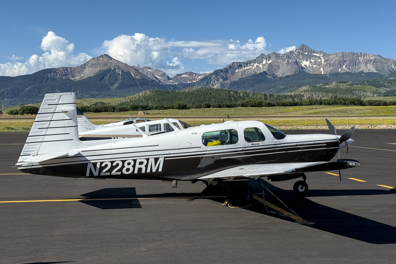
As we had done before, we had booked the surprise package with Hertz for three days. This means for around forty dollars a day you get whatever is available, usually a small Japanese car. When we showed up at the counter, a very nice lady told us that she had assigned a Jeep to us. Moreover, she recommended the best 4WD roads and passes in the area. We crossed Ophir Pass to Silverton where we spent two nice days.
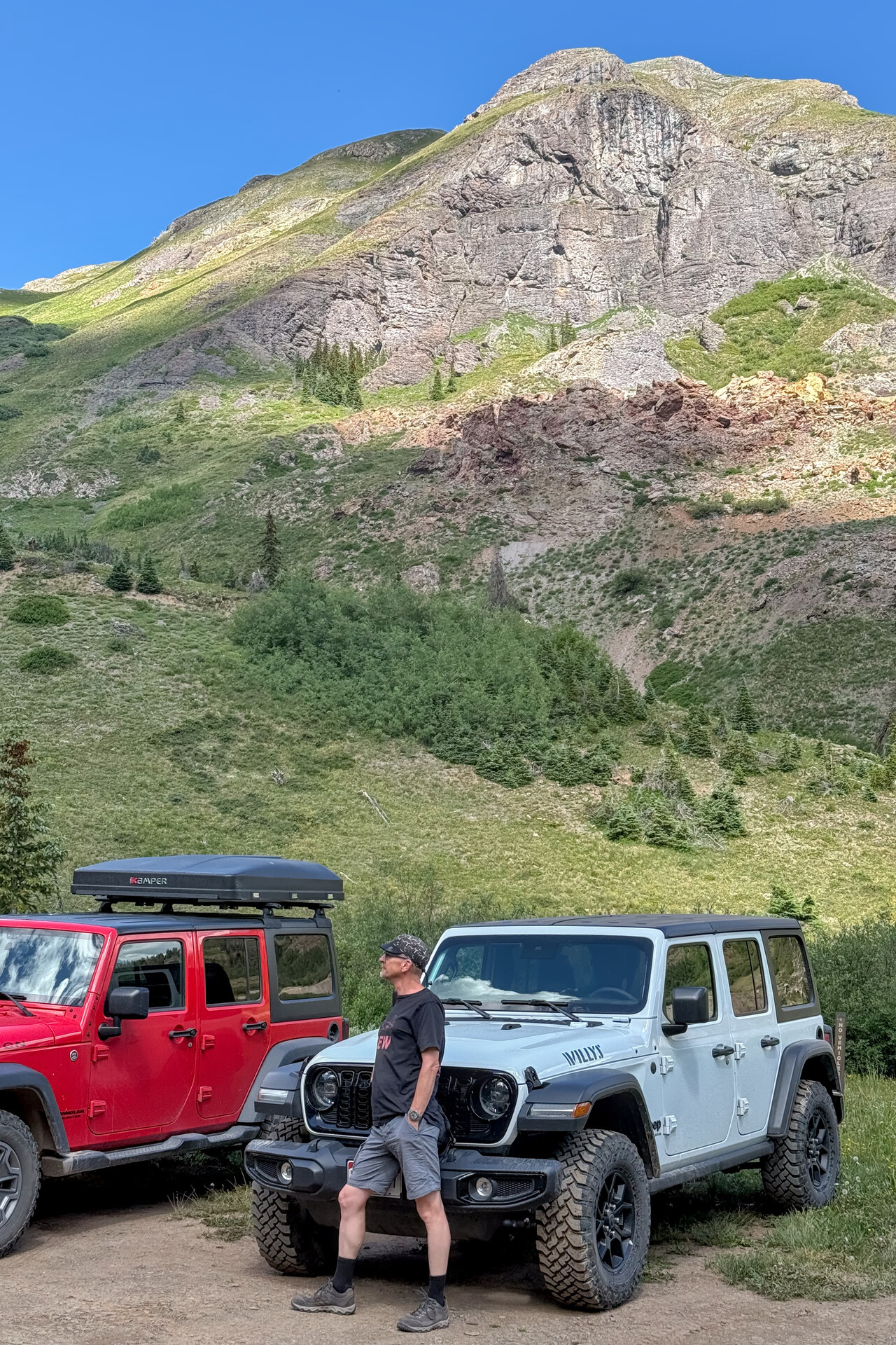
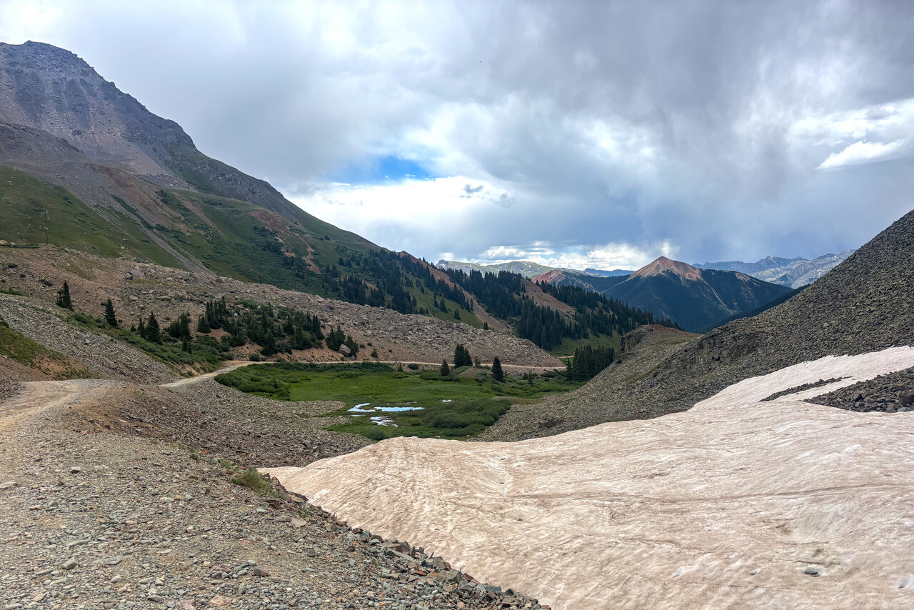
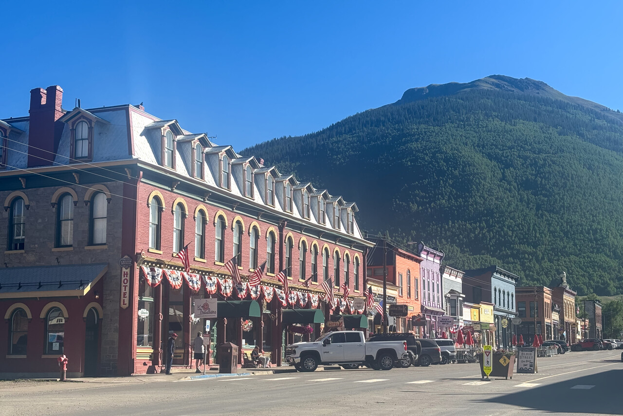
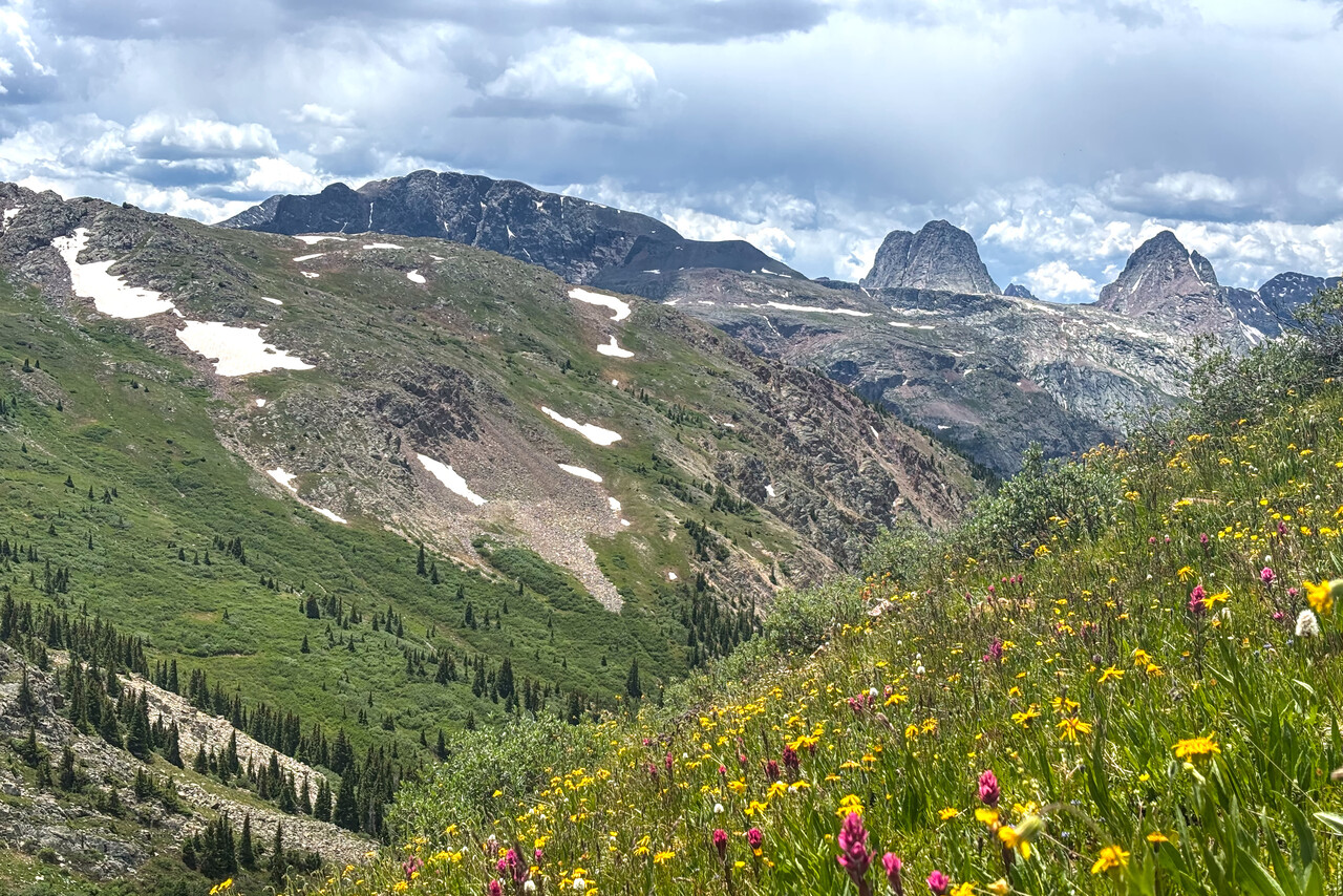
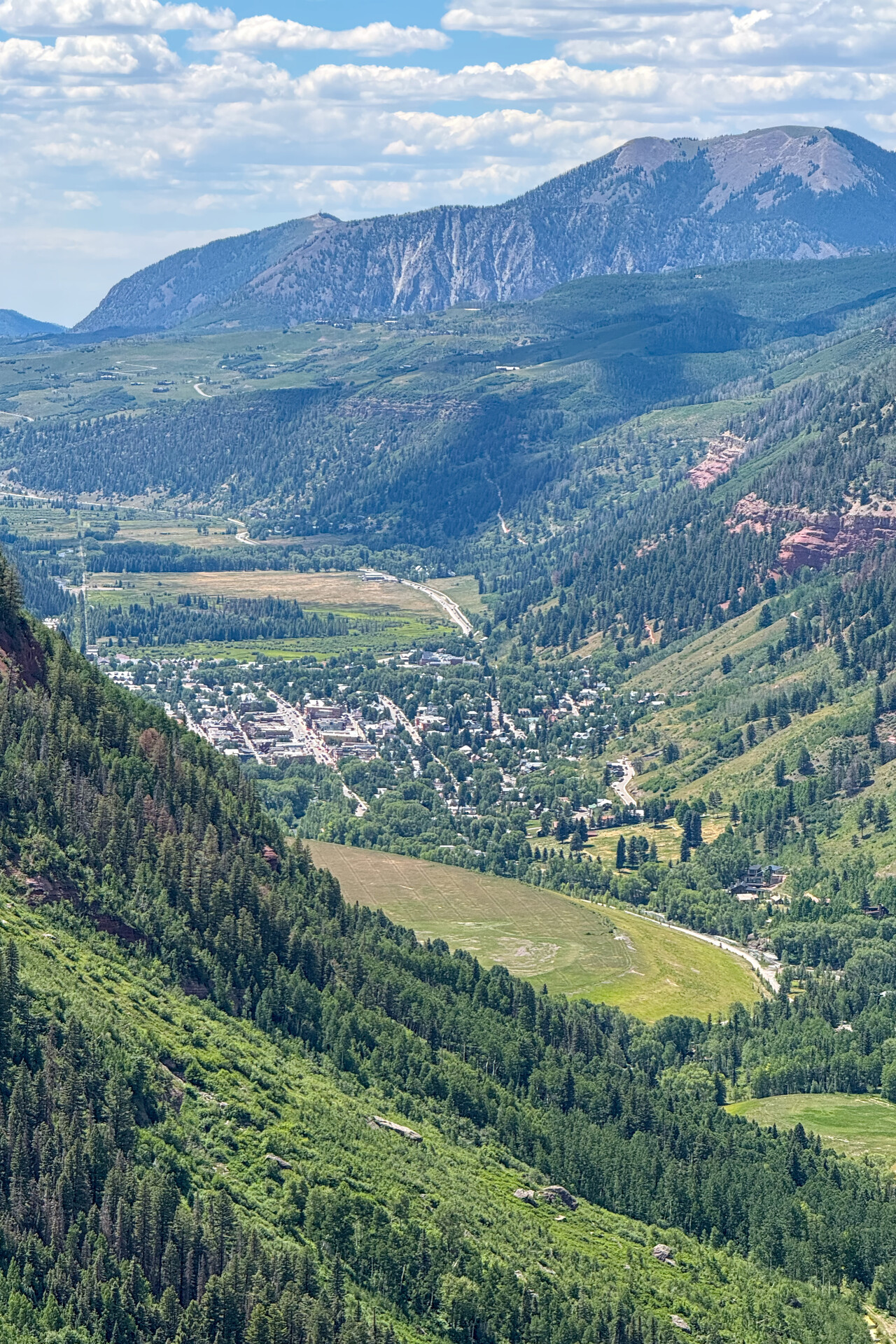
We spent one night in posh Telluride before we wanted to continue to Laramie in Wyoming. Weather forecast was good and I had planned a flight over Ophir Pass, through several valleys and over other passes.
The first thing we heard after waking up was rolling thunder. Despite the promising forecast, weather was quite poor with mountains and most passes in the clouds. Flying through the mountains wasn’t an option but circumnavigating the highest peaks towards the West was easily possible. We hadn’t liked the town of Telluride much and waiting it out was therefore not too appealing, so we parted with the Rocky Mountain scenic flight and took the dog leg to the West.
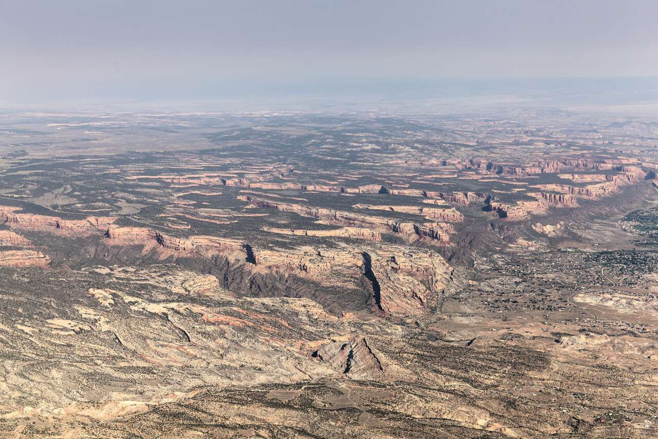
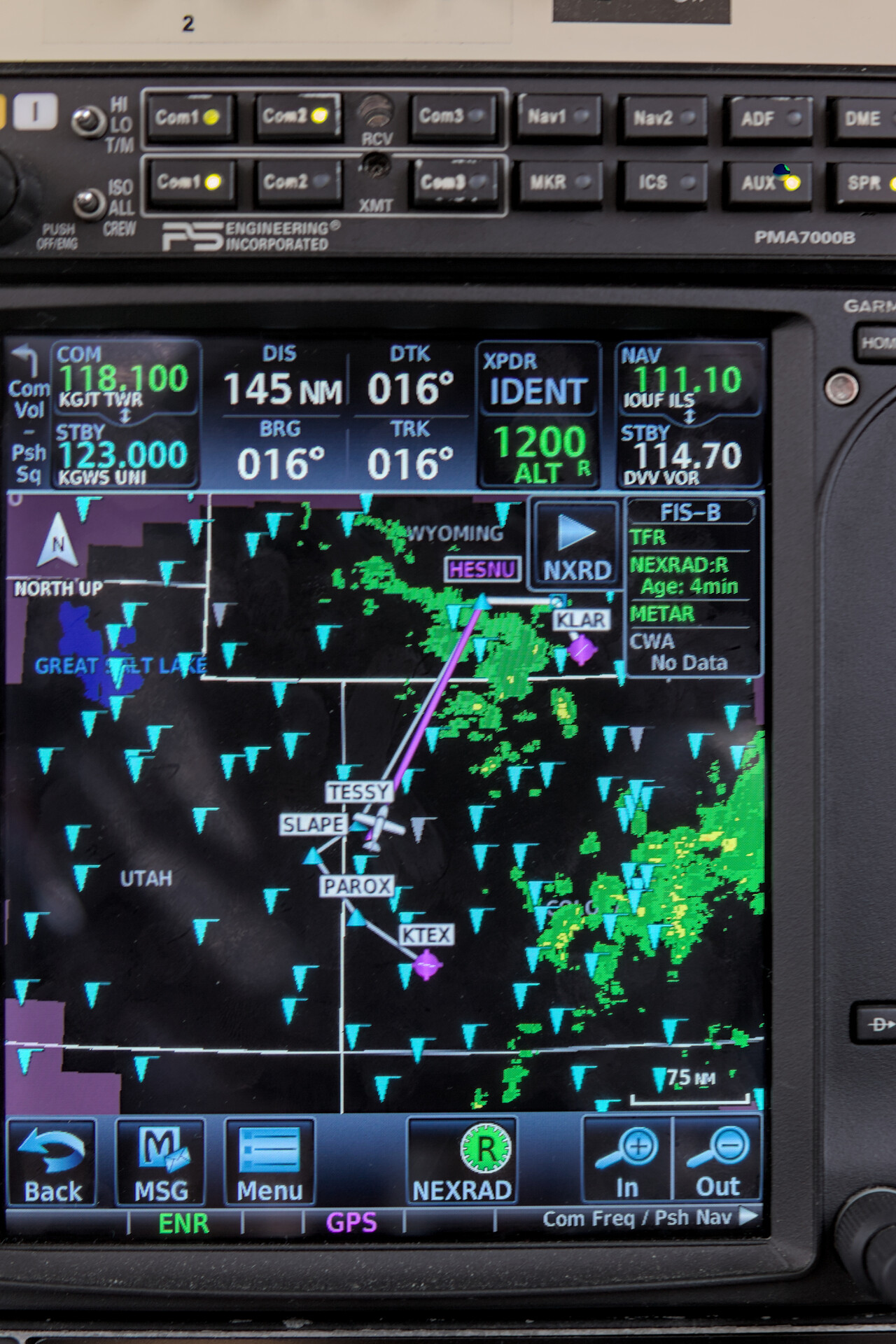
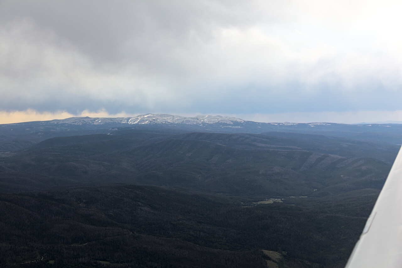
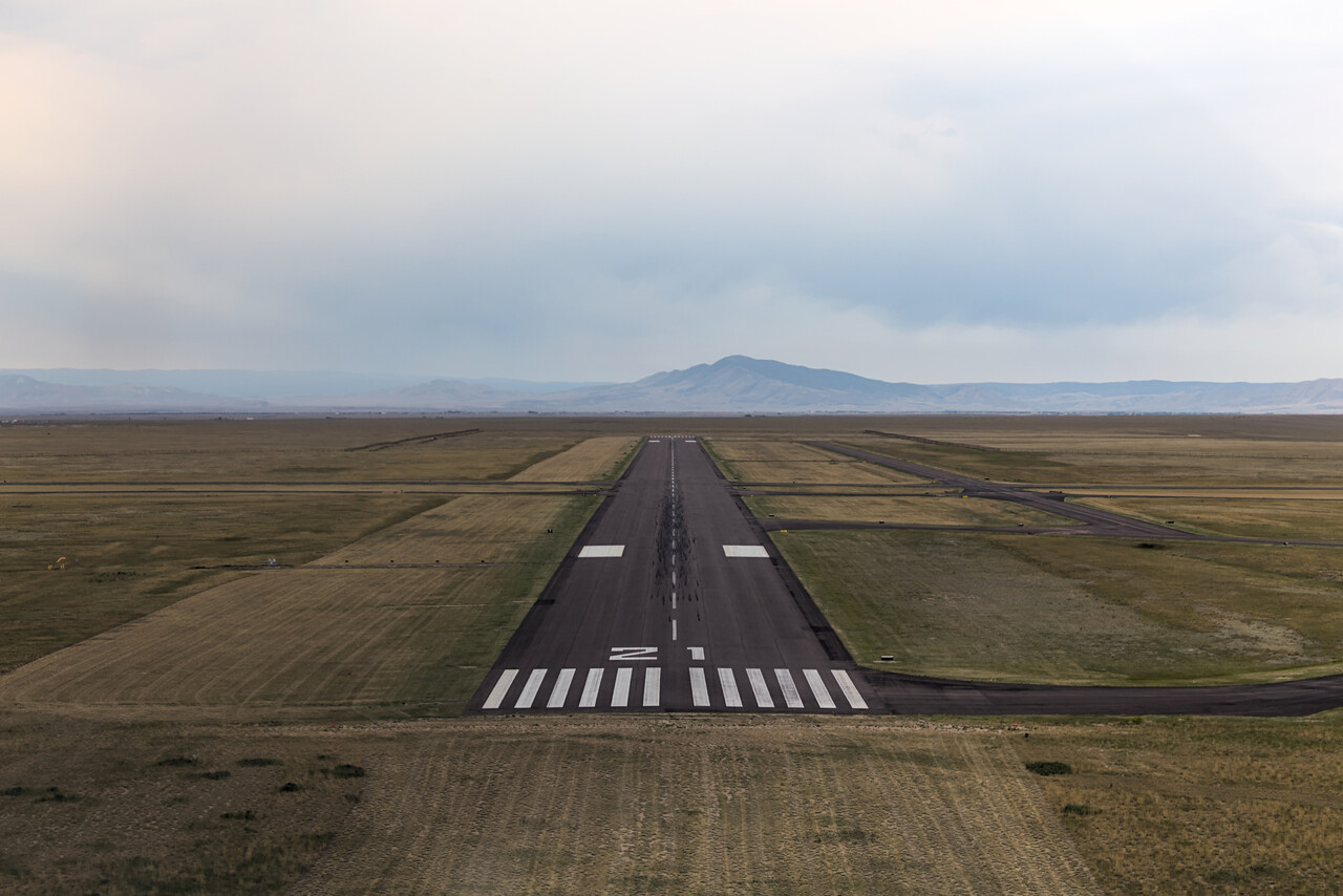
The reason we flew to the Southwestern corner of Wyoming was Medicine Bow Peak in the Snowy Range and the superb hiking it offers. The contrast between fancy Telluride and rural Laramie was really striking.
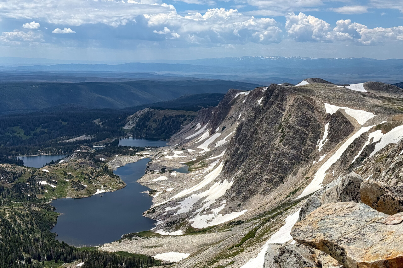
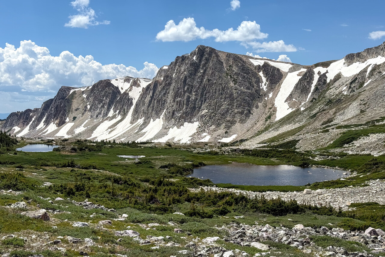
Flying over flyover country
It is still a long way from Wyoming to Oshkosh, so we had to look for a place (or better two) to break the journey. Of course we always look for tourist attractions when we decide on a destination to stop at, but they are scarce and far between in this part of the US. We had visited Mount Rushmore and the Badlands National park back in 2014, so we had to search for something else.
Looking at the chart, I found Dodge City in Kansas and the name somehow resonated with me. After a while it dawned on me: Gunsmoke, the TV series I used to watch as a child, played in Dodge City. We had one more oil change to do and the FBO at Dodge offered maintenance as well. No doubt, Dodge City was the place we had to stop at.
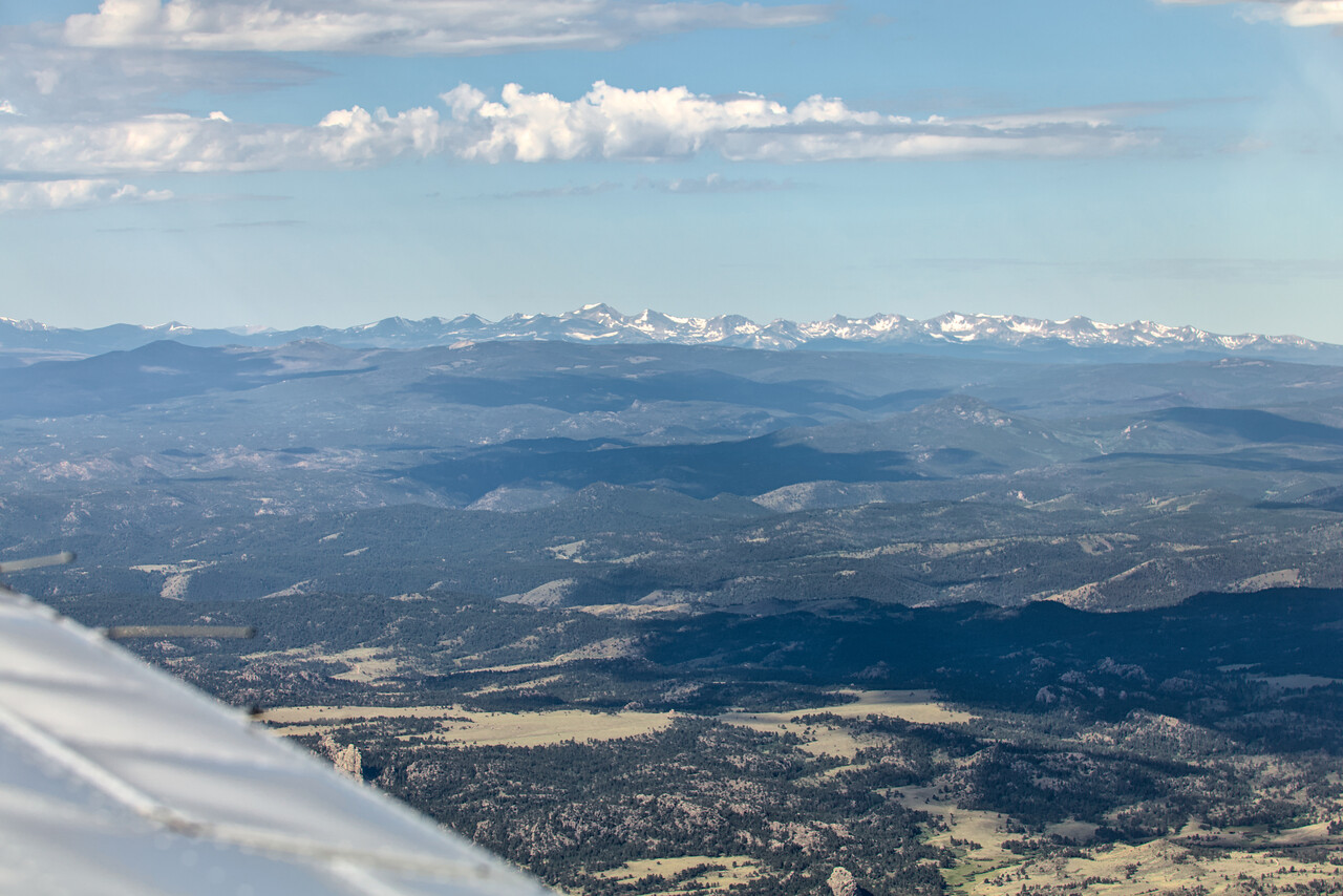
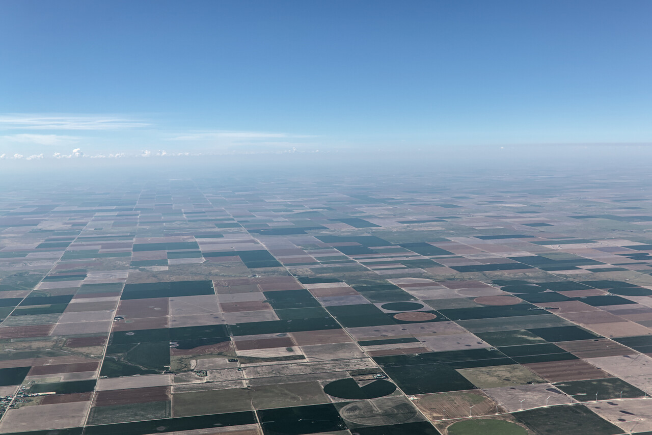
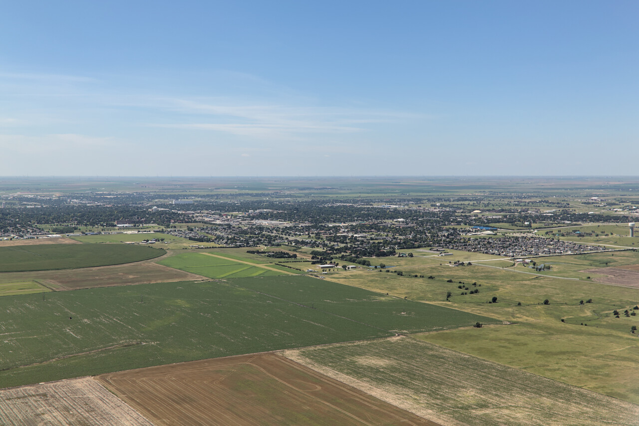
In the end our experience was a bit mixed. The folks at the FBO, especially the guys on the shop floor, where we were allowed to do our oil change, were among the nicest people we had ever met. Dodge City was, to be honest, a terrible place.
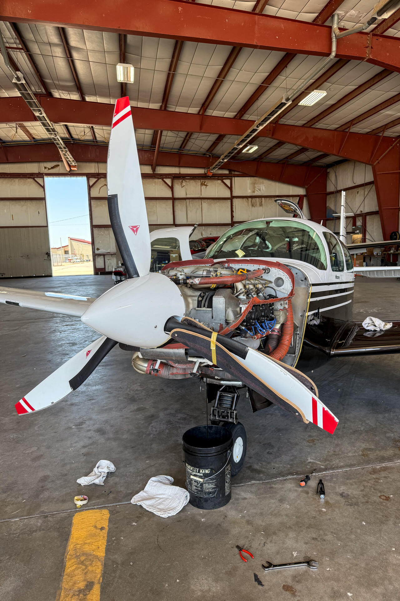
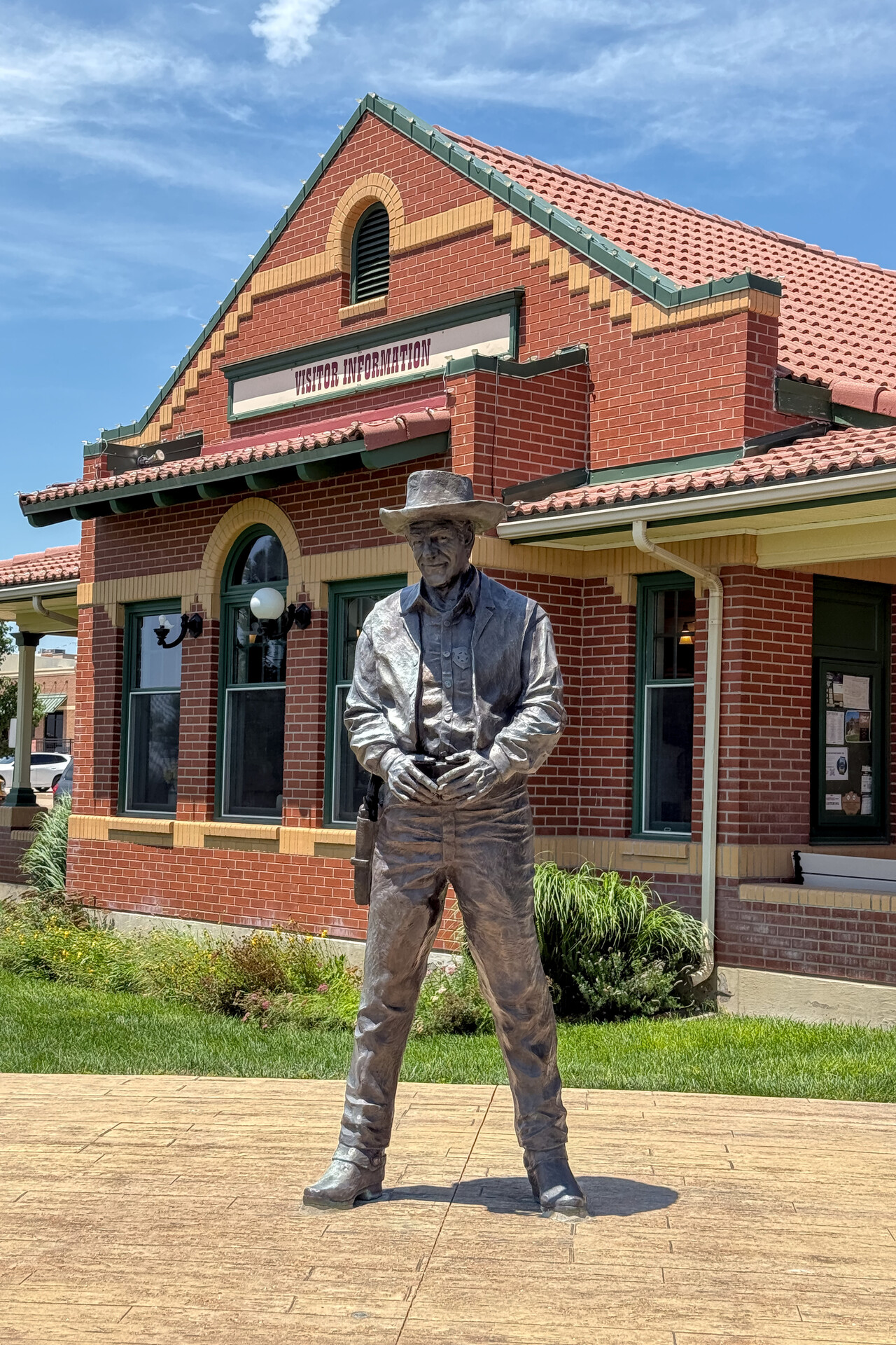
To make up for that, at least a bit, there is a site called the Monument Rocks, about two hours away by car, that was quite nice.
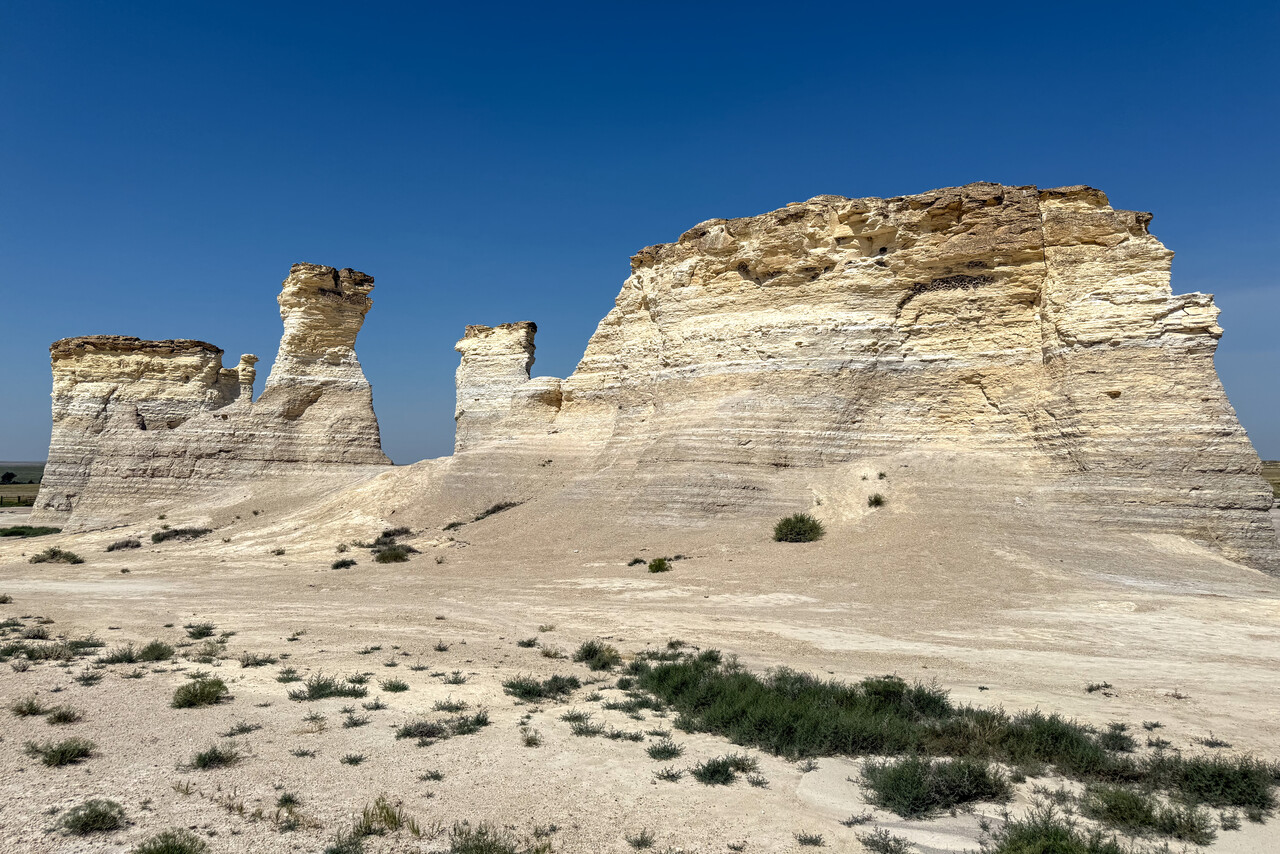
The leg from Dodge to OSH would still have been a bit long to our liking and we were too early anyway so we looked for one more stop in-between. Des Moines, the state capital of Iowa was about half way, and we had never been to Iowa before, so we decided to fly there.
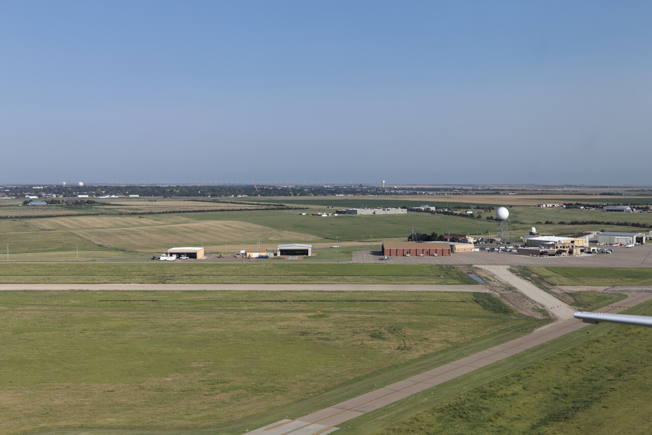
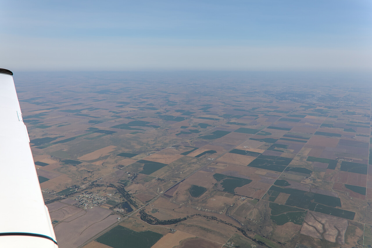
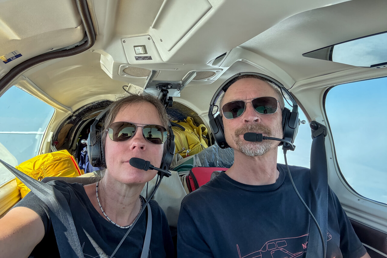
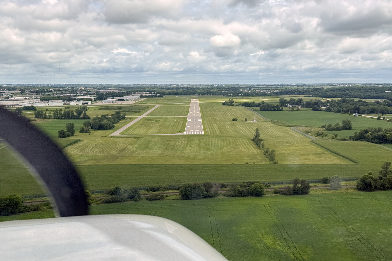
I’m not a big fan of US cities, to be honest. Besides very few exceptions I found many of them rather boring and not very appealing for tourists. However, Des Moines wasn’t too bad at all. We spent a nice day walking from downtown to Iowa’s Capitol Hill and exploring the neighborhoods in-between.
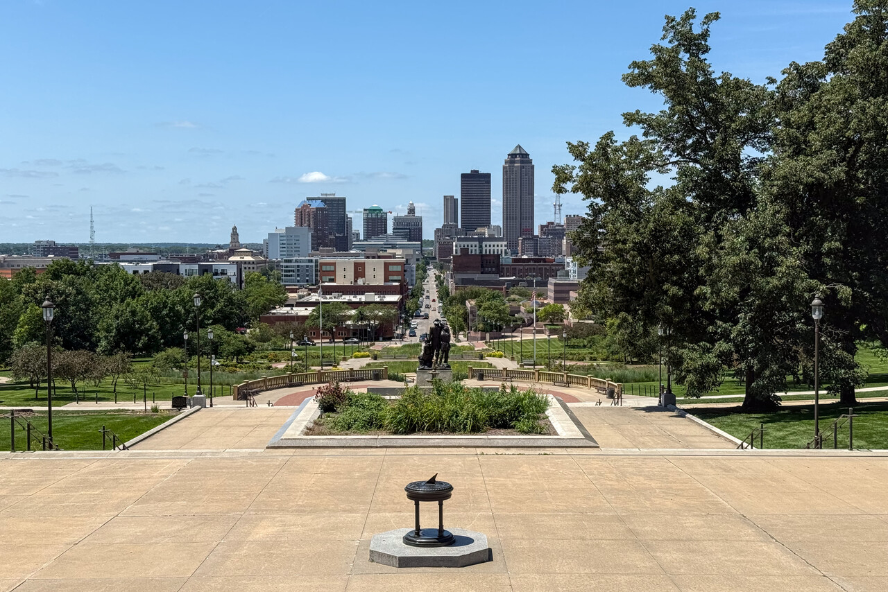
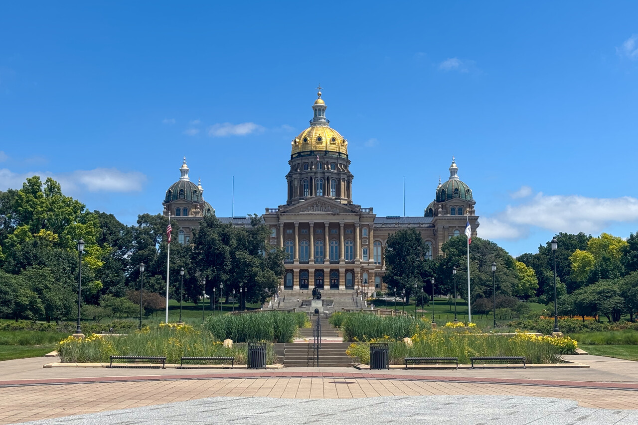
Welcome to the show: Airventure 2025
The Oshkosh Airventure was the only fixed date we had after the spreadsheet phase of our journey was over. It was also our last planned destination in the US and we camped there next to our Mooney for six days. We only did a brief stop in Escanaba, KESC, to clean our gear and have two nights in a proper bed before we continued to Sault St. Marie, CYAM, in Canada.
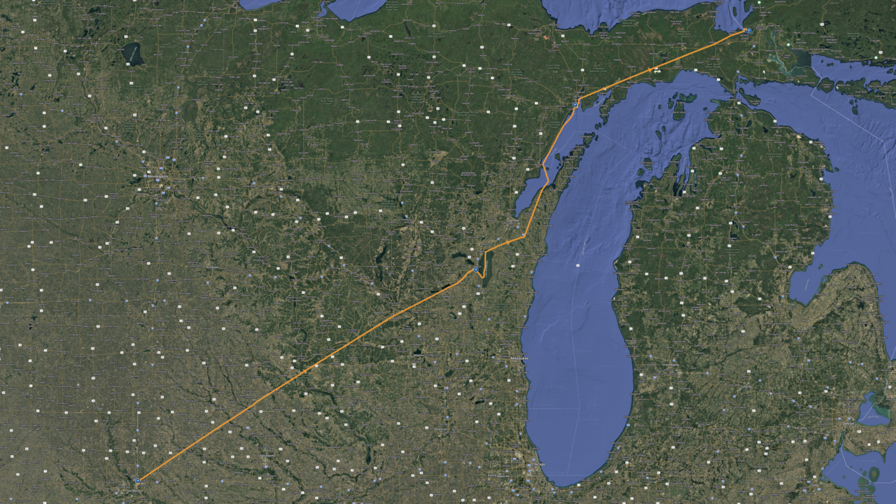
The Fisk Arrival
It had been eleven years since our first visit to the show at Oshkosh, and of course we were curious of what would be different. It wasn’t too much as it turned out.
The FAA still publishes a 32-page document called the NOTAM or Notice wherein the special flight procedures are described in detail.
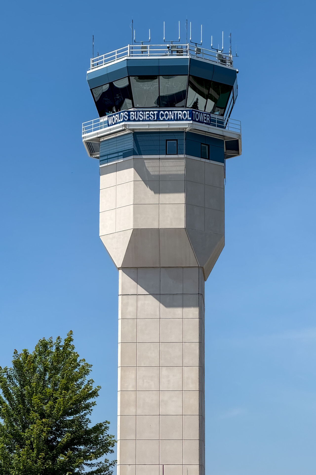
Still IFR arrivals are discouraged, as the VFR procedure called the FISK arrival allows for a much greater number of aircraft to arrive. There are different entry points defined where the procedure may commence. The point currently in use is announced in the ATIS. All arriving aircraft have to fly to the active point at 1,000 feet ground and 90 knots airspeed. At the active point pilots have to self-organize without using the radio to form a string of aircraft with one mile separation, so you have to find an aircraft you want to follow. If you can’t maintain separation from the aircraft you are following, you have to abort the arrival and return to the active entry point.
The show starts on a Monday and last time we arrived the day before. Apparently people tend to arrive earlier and earlier so we planned on flying in on Saturday to be sure to get a nice place to camp and to avoid too much traffic. However, weather forecast for Saturday was terrible, so we even made it Friday. We arrived around noon and it was quite busy already, but still a far cry from what goes on at peak times. Green Lake, the entry point closest to Oshkosh, was active when we arrived.
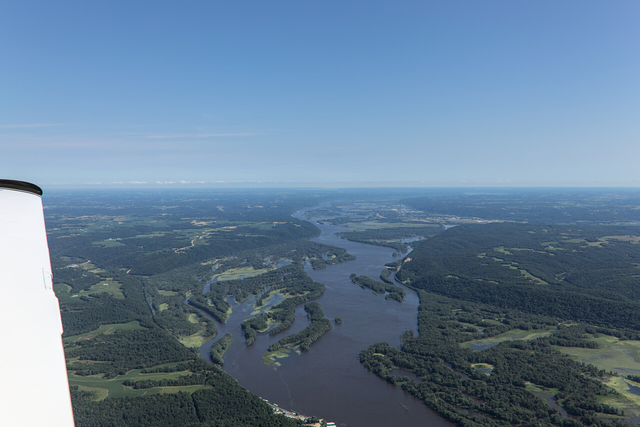
One thing has changed completely: while transponders had to be switched off eleven years ago, they stay on now. As everybody has ADS-B in/out, finding an aircraft to follow and maintaining separation is much much easier now.
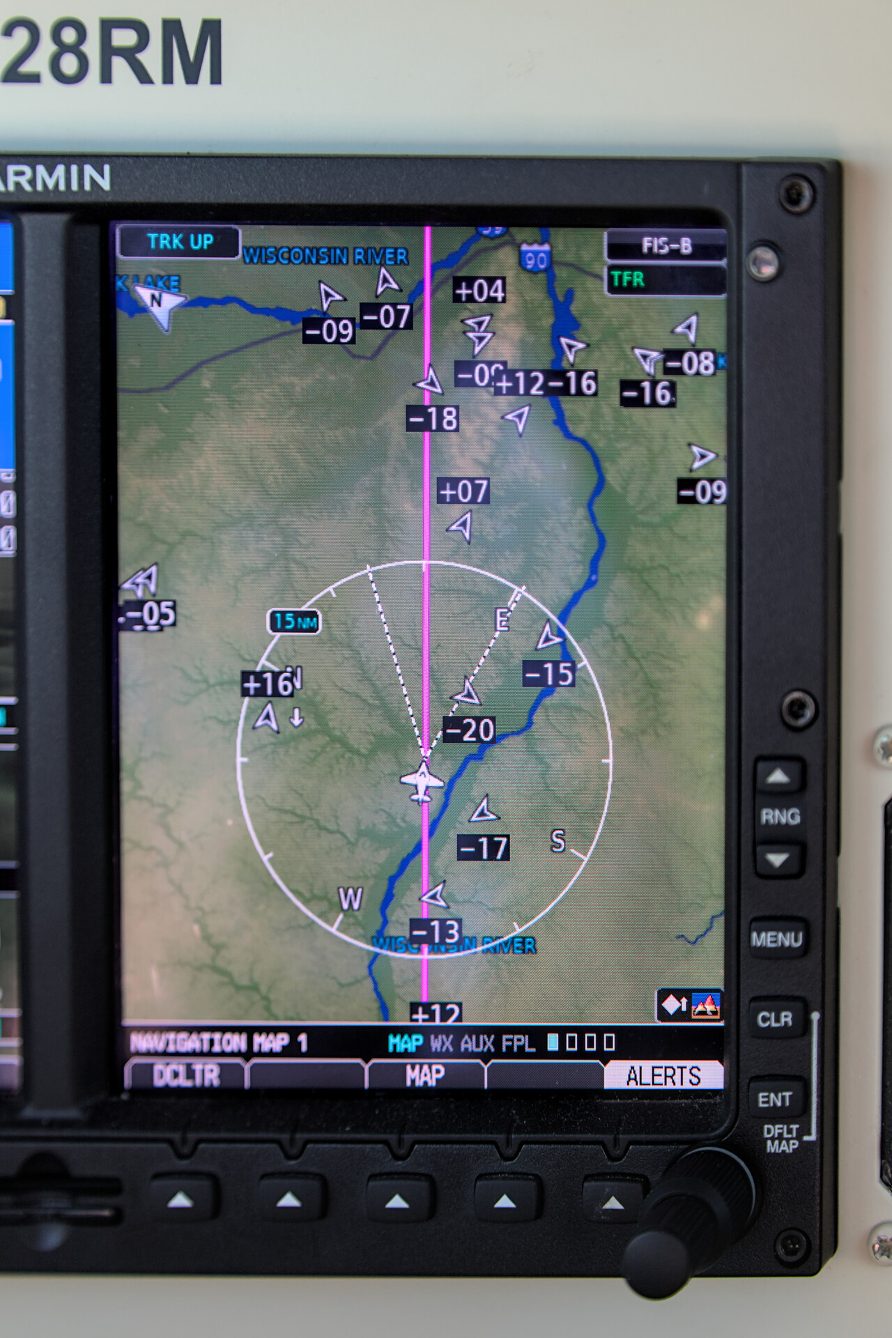
From the entry point you fly to Ripon, where the string of planes should be stable. When we arrived in the proximity of Green Lake, there was a Cessna next to us, about a mile away and another aircraft about two miles ahead of us. I could see the Cessna but not the other guy. I thought it would be best to get closer to the plane ahead of us and went a bit faster. The Cessna pilot apparently agreed, closed the throttle and followed us. We got visual contact to the preceding aircraft shortly after – it was an RV. Im pretty sure, all others had ADS-B in as well. Compared to the arrival in 2014, I found it much more relaxed and less stressful this time.
Besides minor changes, like how long you have to keep 90 knots, the procedure is pretty much the same as it was eleven years ago. You are not supposed to transmit unless you’re told to do so. Once close to Fisk, ATC will instruct you to rock your wings. If you do it right you’ll get a “good rock” and further instructions. When we arrived, there was even time for ATC to ask where we are from and we were happy to say “Mannheim, Germany”.
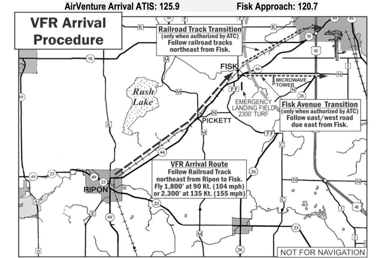
ATC asked the RV ahead of us where he was from as well and this guy used the opportunity to request RW 36 which had also been assigned to the aircraft preceding him. ATC were not too happy but agreed if he would fly real slow. We were directed towards 27, but we preferred this anyway as we wanted to camp at North 40 again. There was quite a big gap in front of us and we didn’t even get assigned a dot to land on.
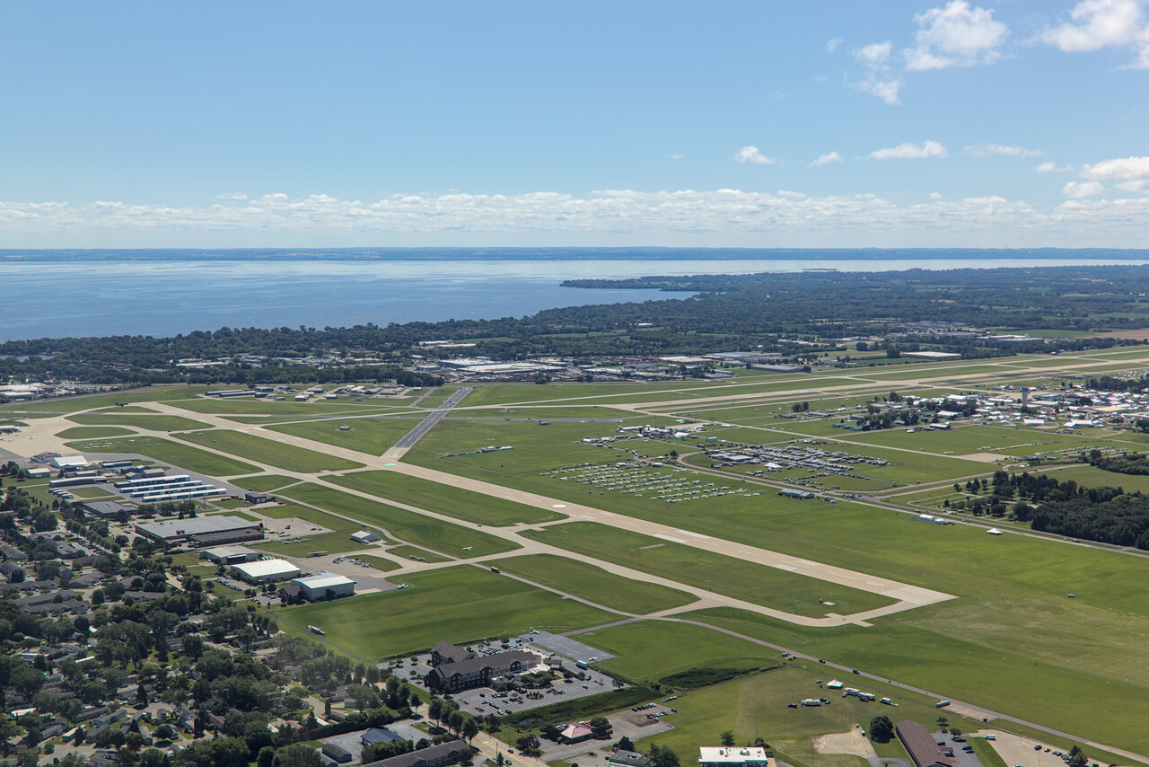
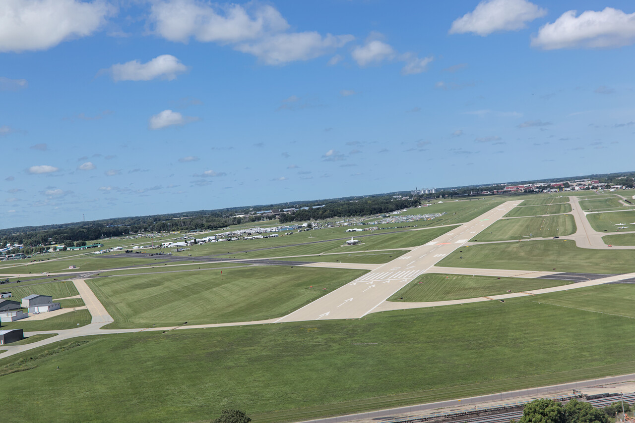
Enjoying the show
As can be seen in the pictures, there was still ample space at North 40 when we arrived. We got a perfect spot to park and camp, directly abeam the white dot and not too far from the building with the restrooms and the showers.
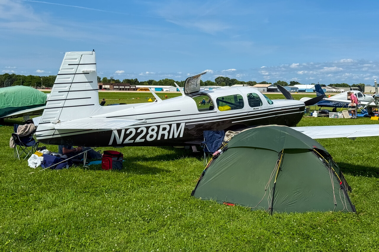
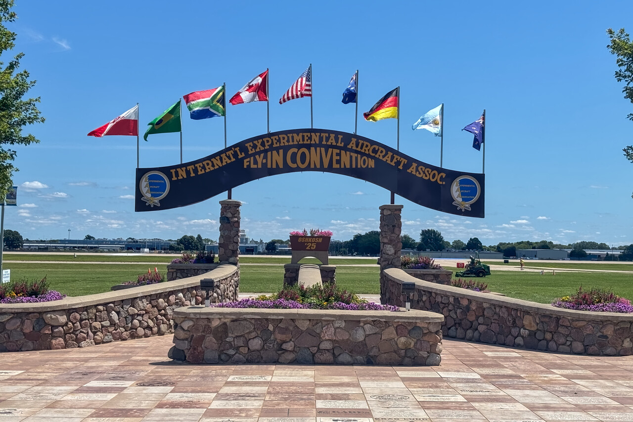
We had Saturday and Sunday to buy a few supplies and meet friends who flew in as well or came by airline. We also chatted with our neighbors and learned that the ban of alcoholic beverages that was still in force back in 2014, had been lifted.
On Monday afternoon we went to see the airshow and I wasn’t as thrilled as I was eleven years ago. That was probably my fault but in fact a lot was exactly the same as in 2014.
What was really spectacular IMHO were the formation aerobatics displays. This sort of stuff can be seen rarely back home.
As last time, there was some really noisy military stuff flying around, but none of the official teams of the US Air Force, Navy or Marine Corps flew displays.
After all I’m not really sure if the airshow in fact wasn’t as great as in 2014 or my glorified memories tricked me. Anyway, camping next to our plane and the feeling that thousands of others concurrently do the same and take the same enjoyment from it, was as good as ever.
No Oshkosh Airventure experience would be complete without the occasional downpour, and we had one or two of them as well. However, overall we were quite lucky with the weather, although it was very hot.
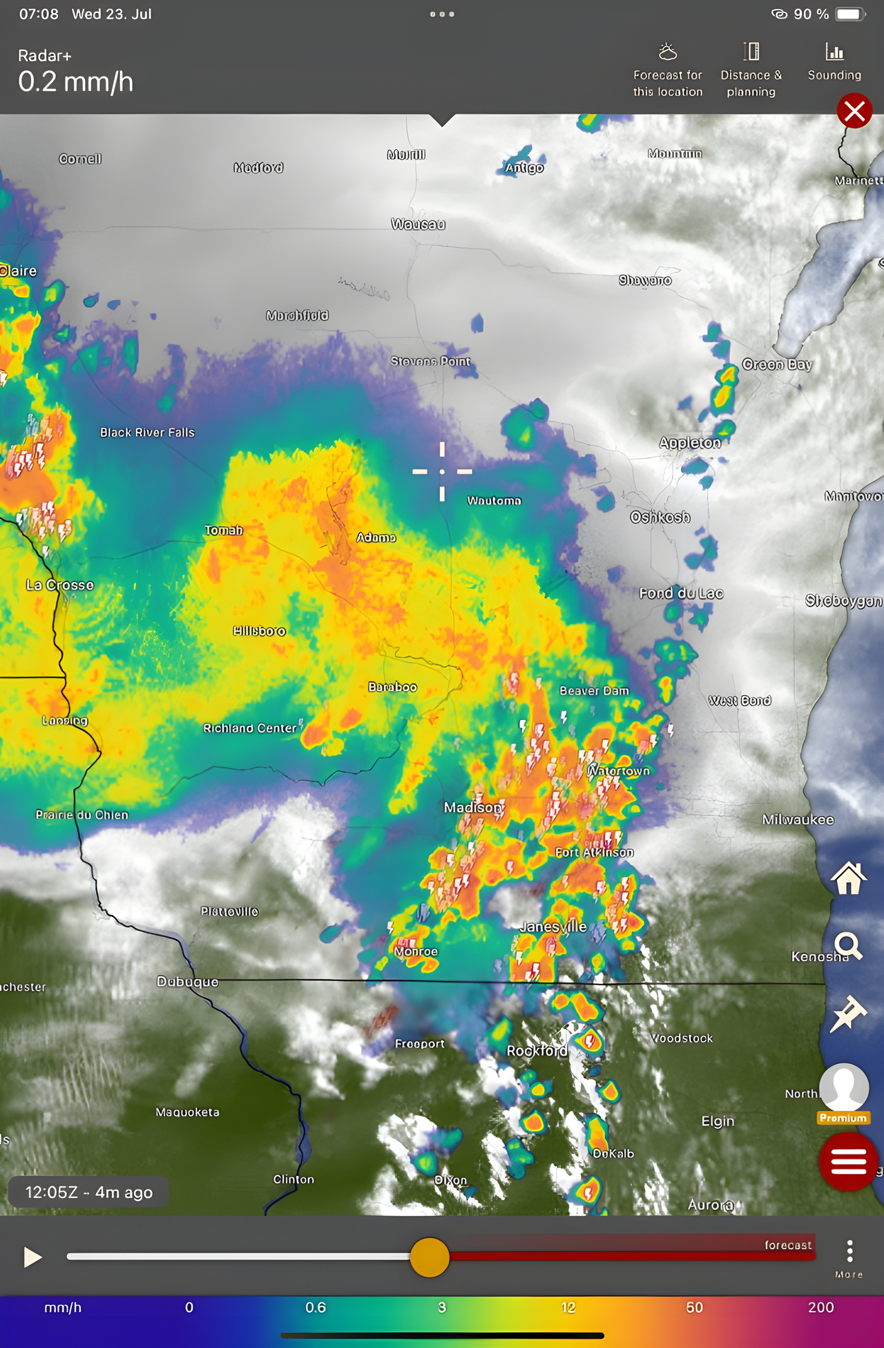
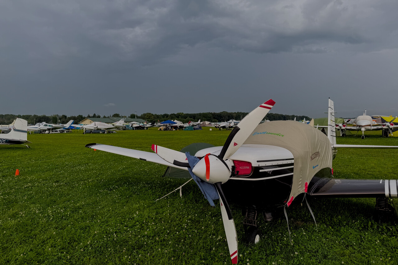
One more thing that had changed was the night airshow and fireworks. It now featured an additional drone show, something we hadn’t seen before. While I was already really impressed eleven years ago, it was even better this time.
Bye bye Oshkosh
We departed on Thursday morning after the night show, and we were not alone with this idea. It was really busy and we were assigned runway 36 for departure what meant a really long way to taxi. Of course there is also special procedure to be followed when departing from Osh. You have to stay at 1,300 feet and, after an early turn, leave the area on a prescribed track. Again the whole procedure has to be followed without transmitting on the radio. After copying the ATIS you follow the signs of the marshalers in pink shirts, and when you finally reach the hold short line, ATC will clear you via the radio.
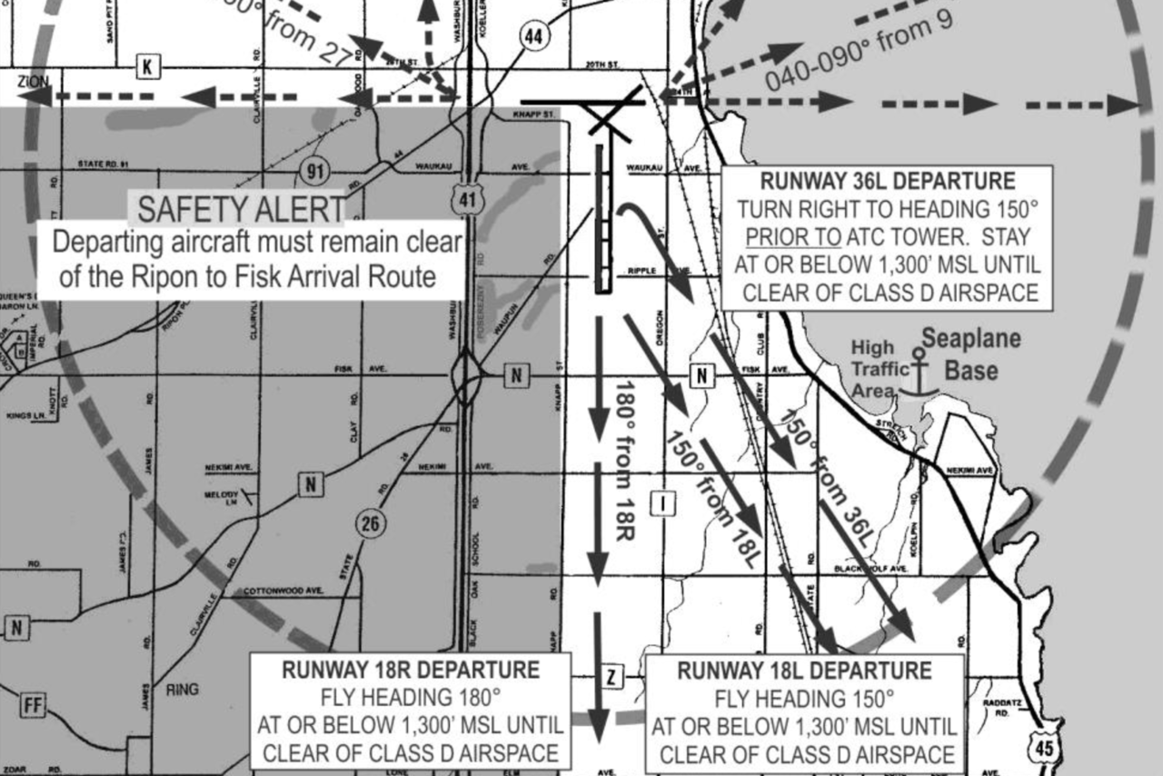
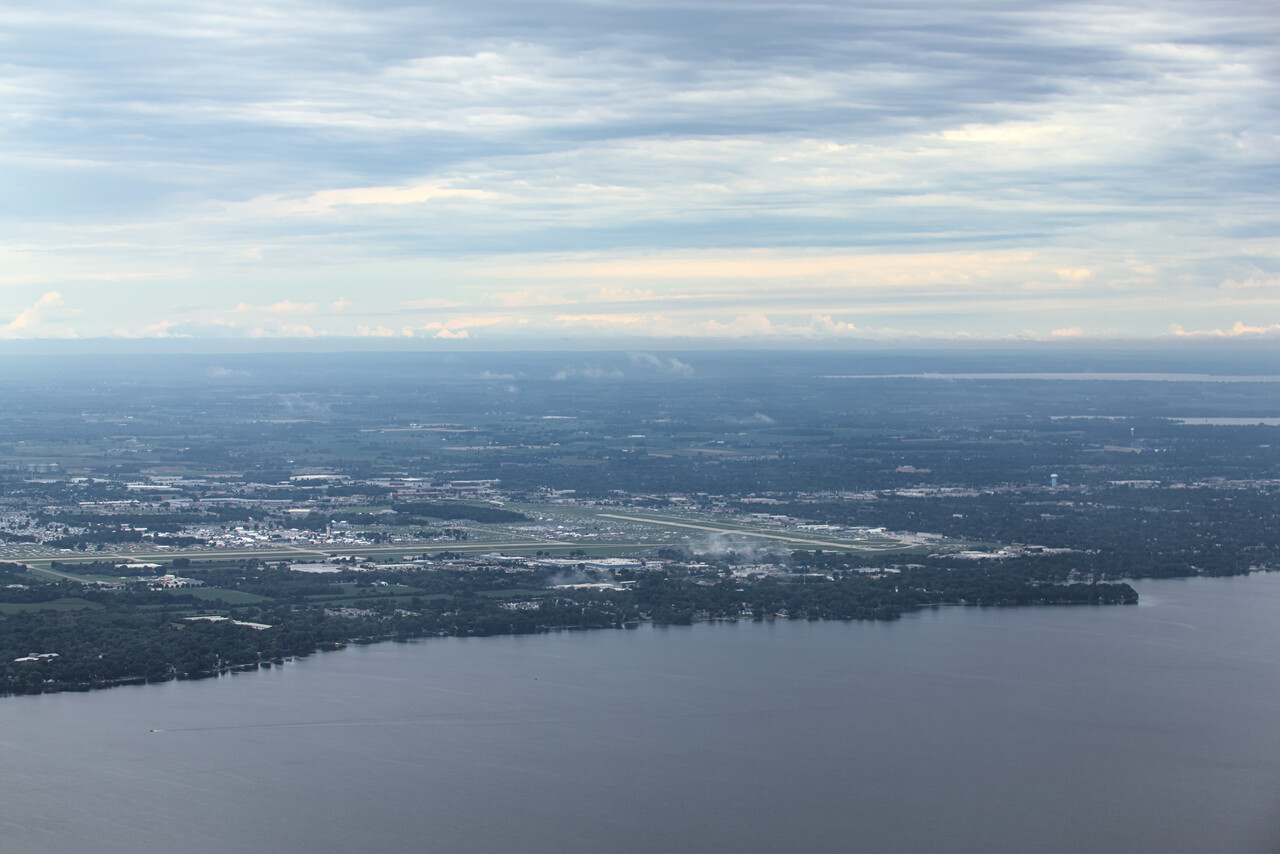
We only did a short hop to KESC where we had booked a motel. The last evening in the US ended as the first had begun – with a cheeseburger.
O Canada: To Baffin Island
Actually the title should read “Ô Canada” as we spent most of the time in the French speaking part of the country. Montreal was the only place in Canada we flew to as a tourist destination. We chose the other stops mainly for practical reasons. Our route was Sault Saint Marie, CYAM – Montreal St. Hubert, CYHU – Roberval, CYRJ – Iqaluit, CYFB.
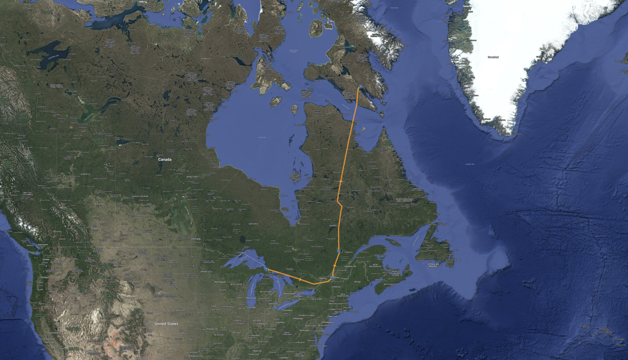
Crossing the border
The flight from KESC to CYAM was a bit special in that C&I is not normally present at either of the two. You can leave the US from any airfield if you want. To do that, you have to fill in the nearest PoE in the eAPIS. Moreover, you have to get in contact with CBP at that PoE via phone to sort things out. Finally you have to send a GENDEC to them via email which they will send back with a clearance written on it. In Canada you can even enter the country without C&I being present at some airports and CYAM is one of them. The online CANPASS process has to be completed in advance, and once on the ground you will have to call C&I while still sitting in the aircraft. The officer will provide you with a lengthy number you have to note down. This all worked fine for us but I’m not completely sure what the number is actually good for, as we never were actually asked for it again. I put it in field 18 of the flight plan we filed when we left Canada, but I doubt anybody took notice of it.
Unfortunately we weren’t too lucky with the weather on the flights to CYAM and on to CYHU. We had hoped for nice views of the Great Lakes area, but it was really hazy due to smoke from forest fires.
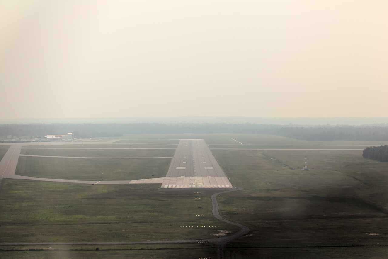
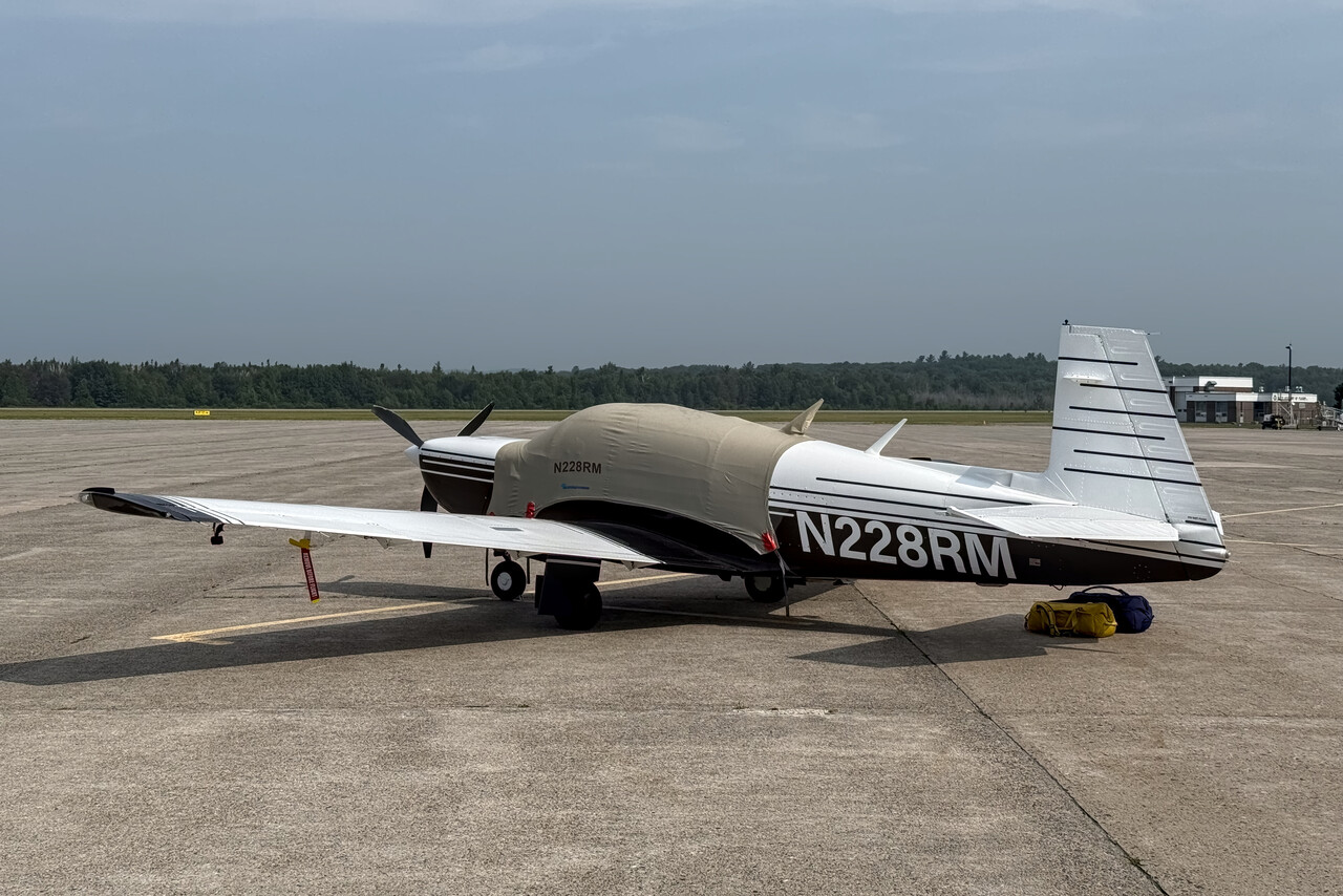
For reasons now unclear to me I had hoped that Sault Saint Marie would be an interesting place, but in fact there is not much to see there, and the Great Lakes are nice but look the same as on the US side. At least we did a nice hike in the area.
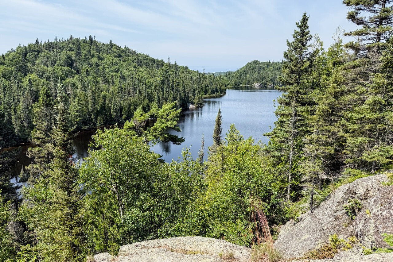
We had done the flight from KESC to CYAM on a VFR flight plan but visibility was really poor, so we decided to file IFR for the other flights within Canada. It’s not a major inconvenience as flight plans are required for cross-country flights anyway.
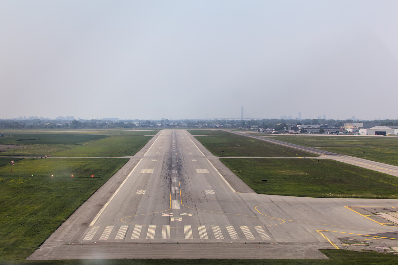
Montreal
Tina had been to Montreal on a business trip a couple of years ago and was quite fond of the place, especially the food. We could celebrate my birthday while we stayed in the city and found a really nice restaurant for dinner.
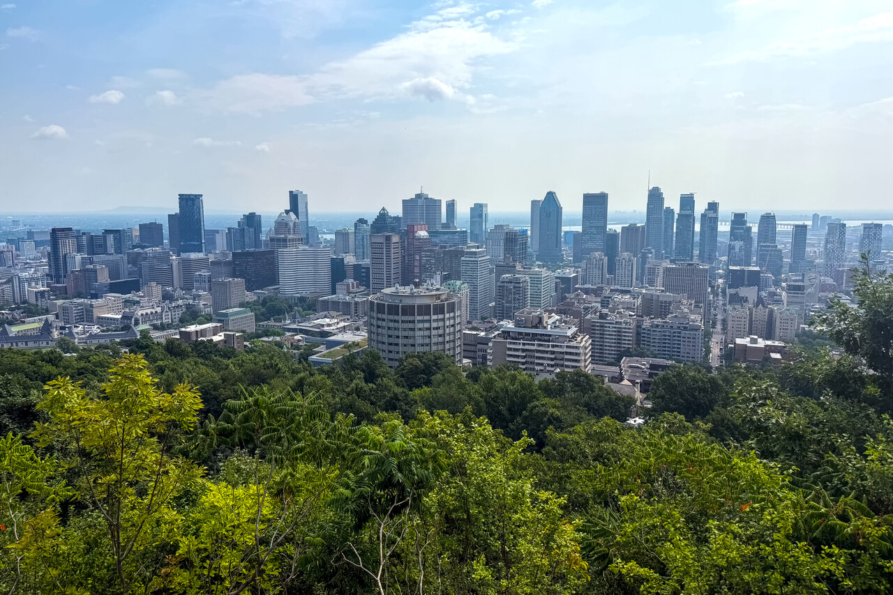

Heading north
Three of our four previous Atlantic crossings went via Goose Bay and one via St. John’s, so for a change we decided to fly from Iqaluit this time. Iqaluit is a long way from Montreal, almost 1,100 nautical miles, so I looked for a place to split the journey. Unfortunately there is not much in-between, and absolutely nothing at least close to the midpoint. The only sensible place I could find was Roberval, not even 200 miles north of Montreal. Anyway, besides the unevenly long flights, there was nothing wrong with CYRJ. We had nice weather for the short hop and there is a good hotel in walking distance of the airport.
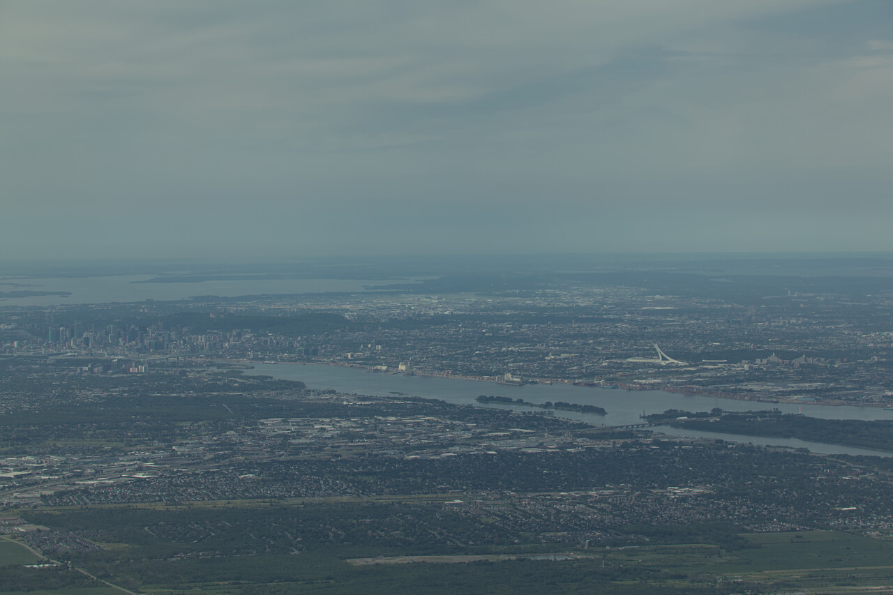
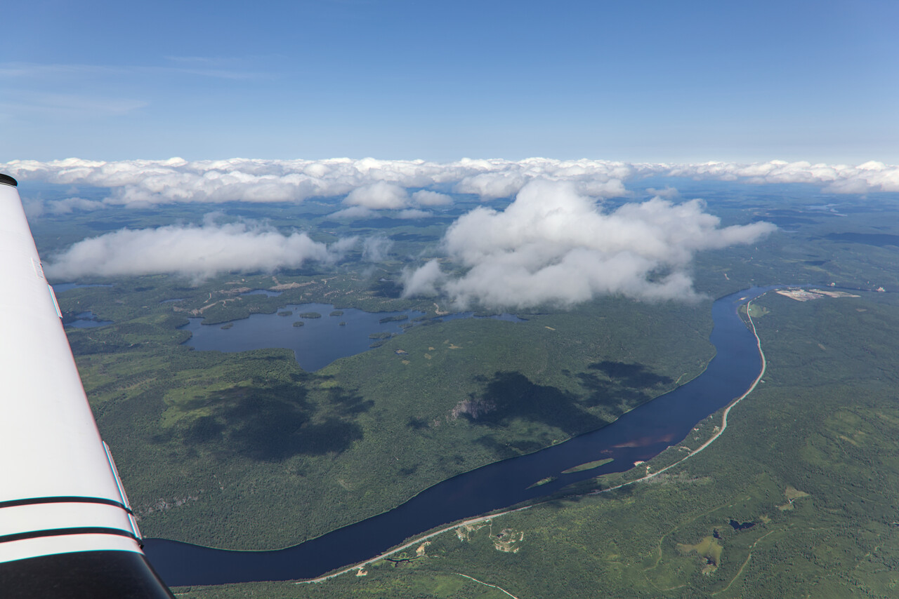
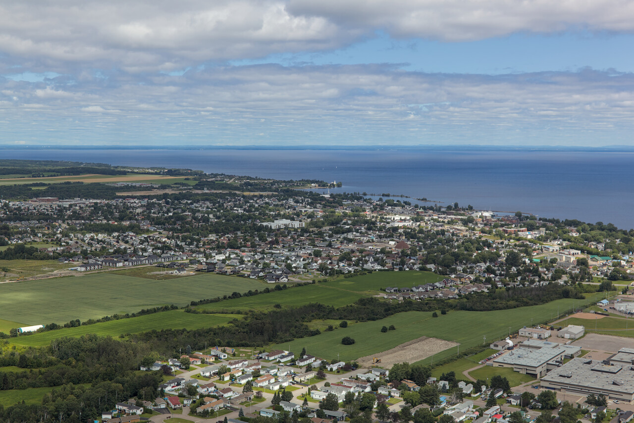
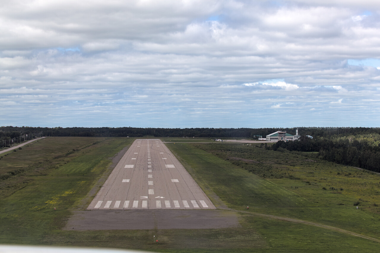
The leg to Iqaluit was long, but apart from some higher clouds about two thirds into the flight, weather was nice. It was very enjoyable to see the landscape change from dense forests to loosely tree-covered taiga and finally to completely barren tundra.
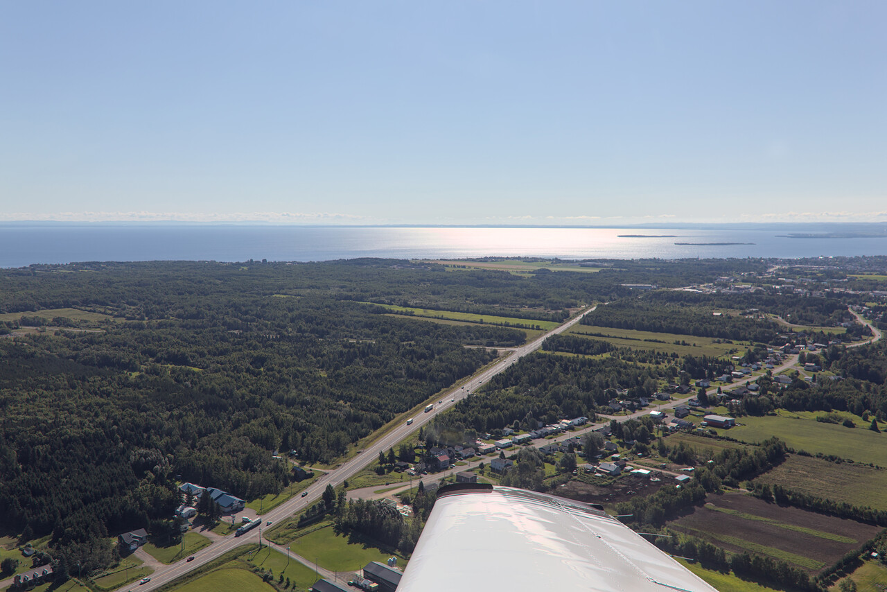
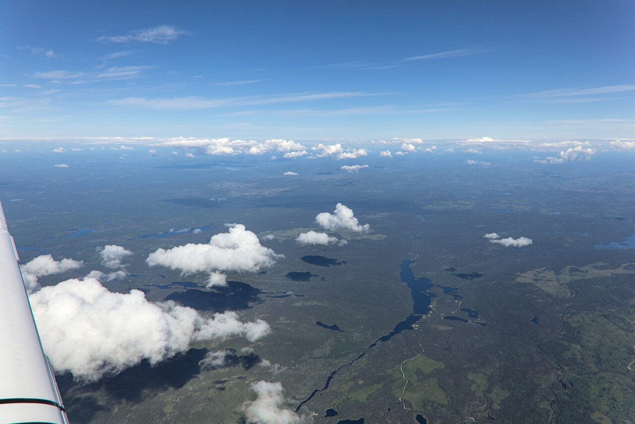
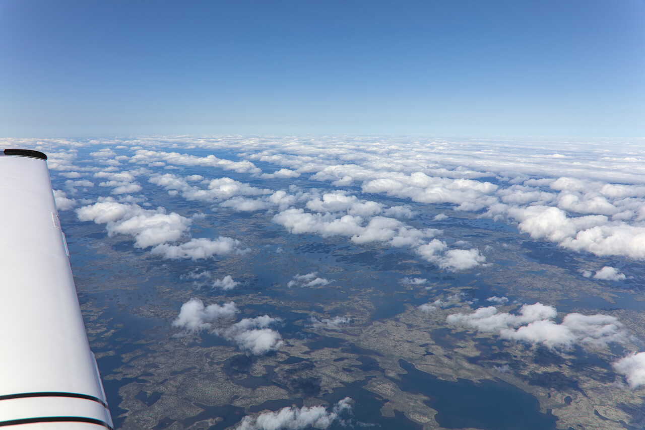
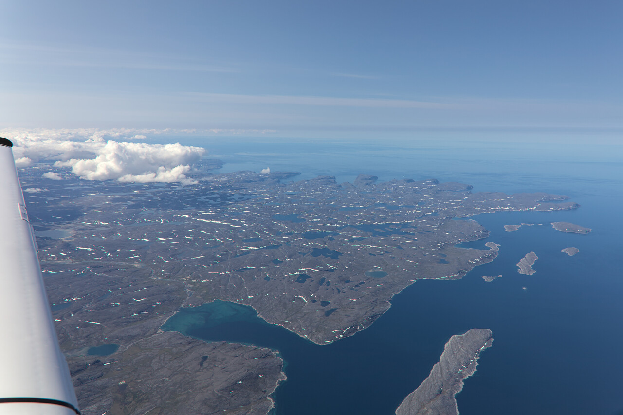
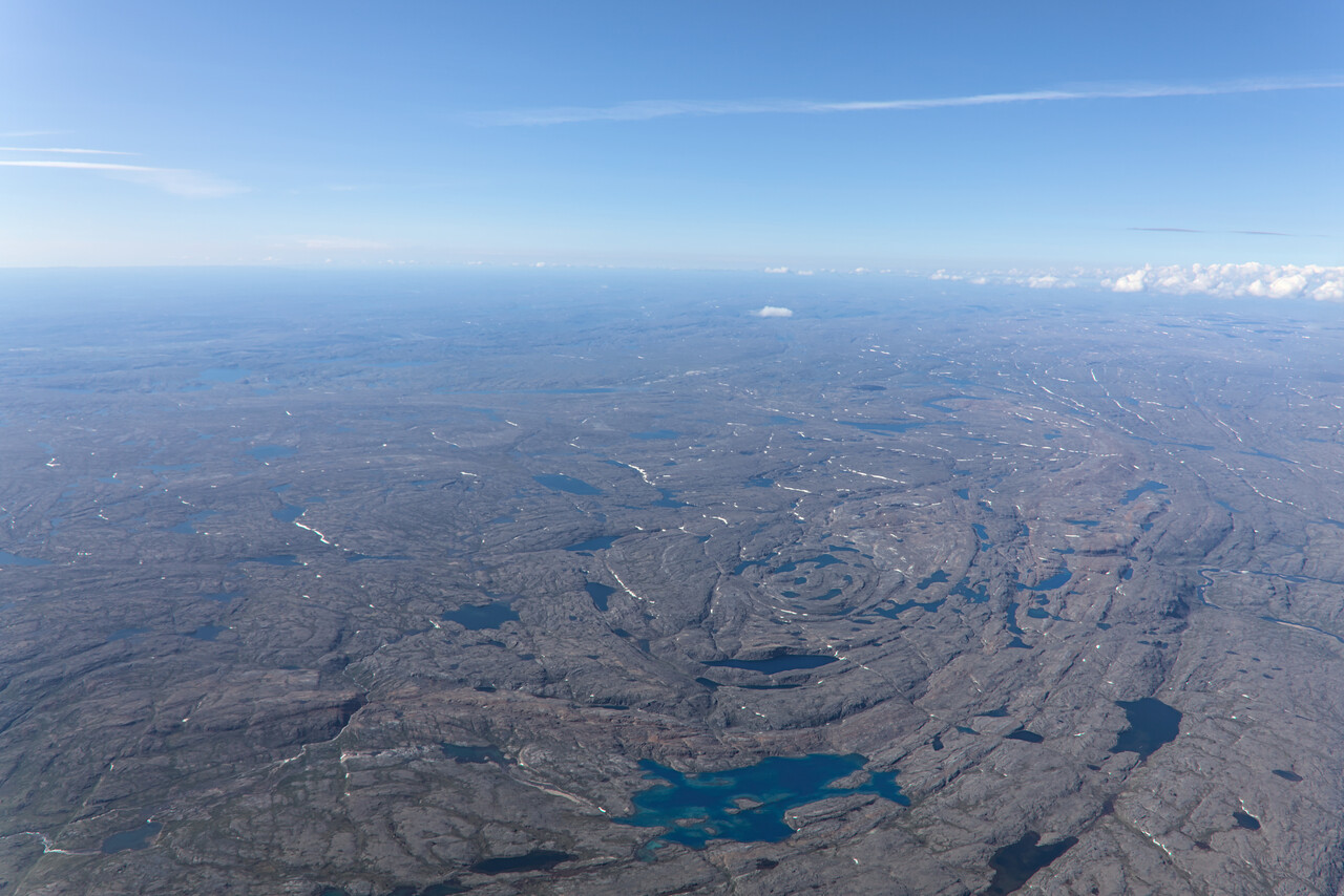
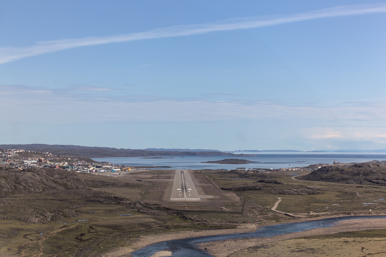
We had three nights in Iqaluit (see the following chapter) and I found it much better than Goose Bay, but that may well be because of the nice weather we had. Maximum temperatures were above 15°C what locals considered a heat wave. We enjoyed the sunshine and did nice hikes in and around town.
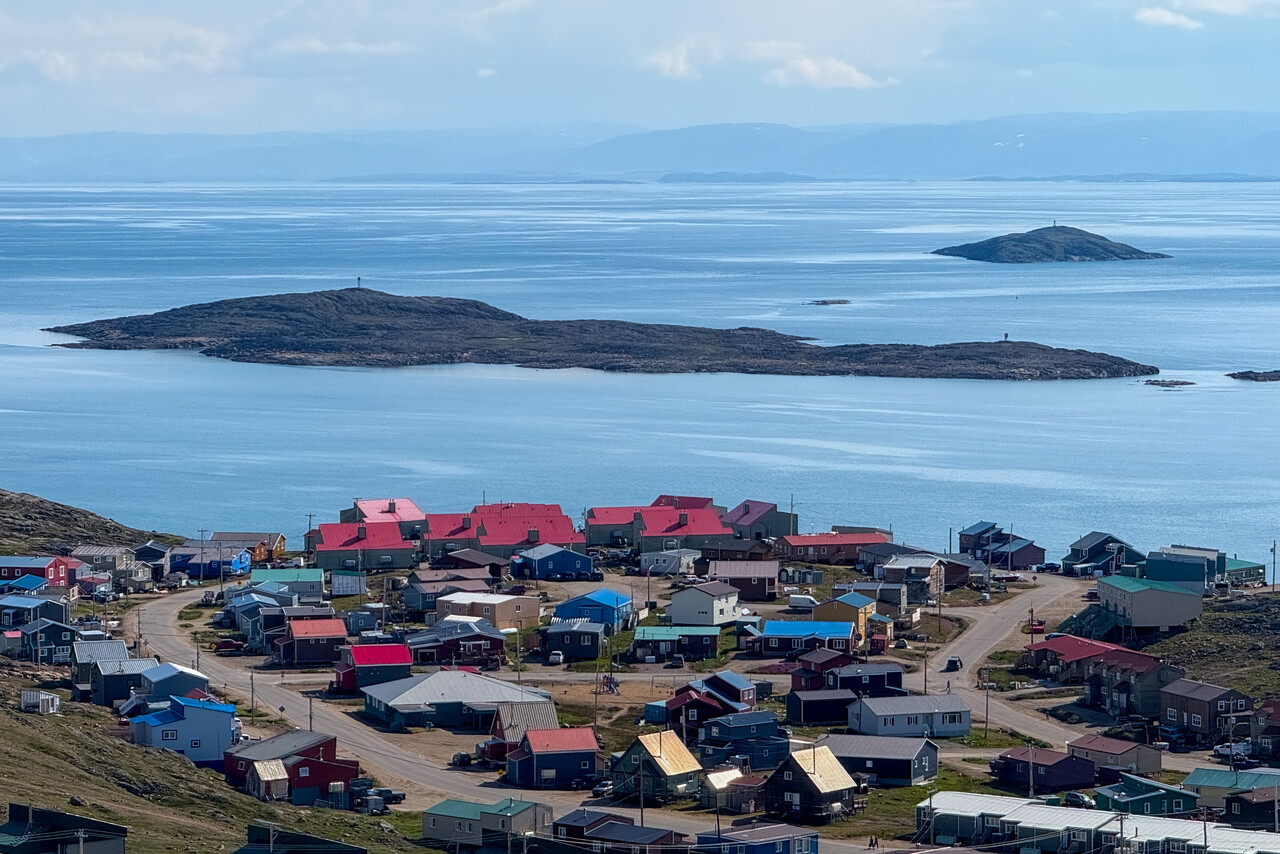
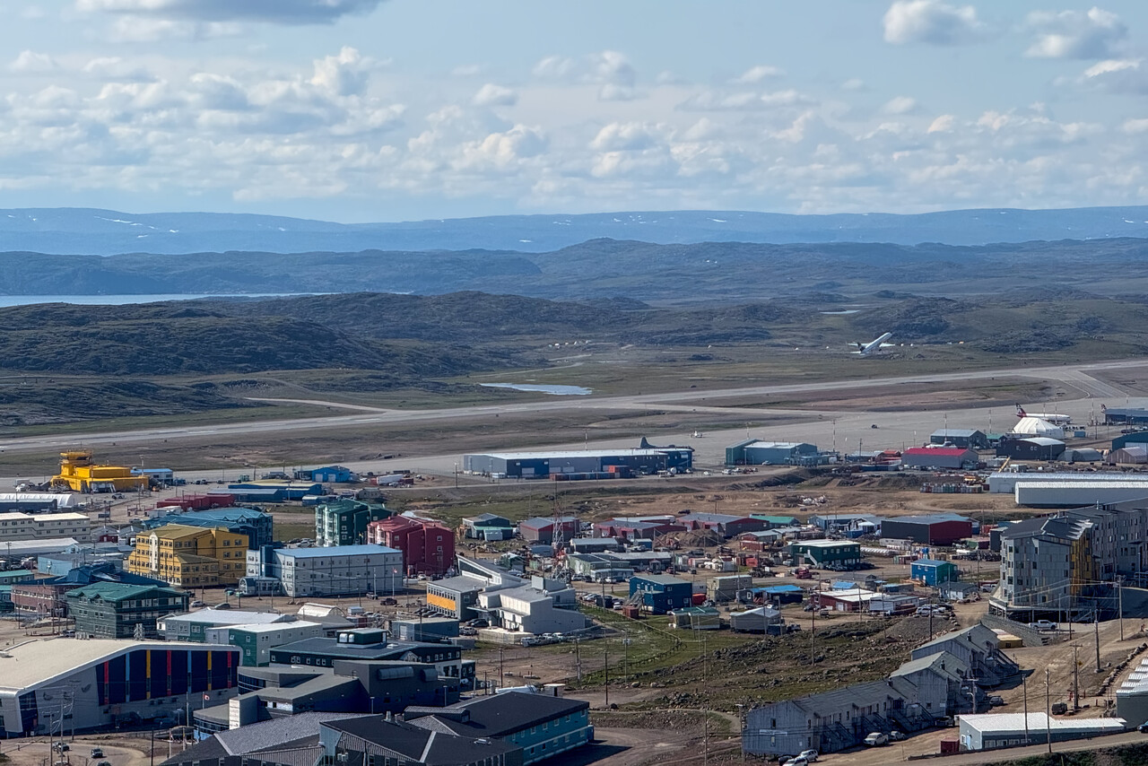
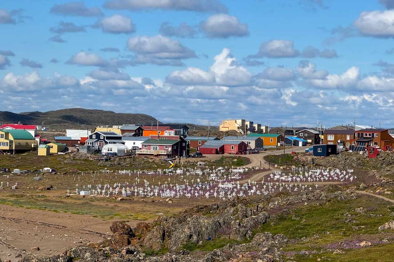
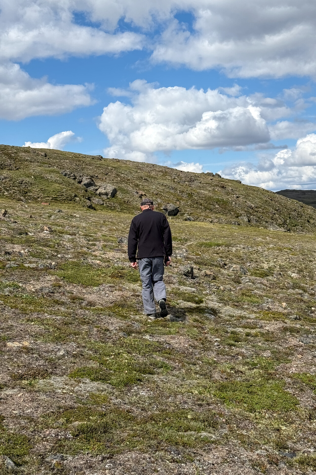
Heading home: Across the North Atlantic
As mentioned, we had crossed the North Atlantic four times already. While we took the Azores Route once, the other three followed the usual “turbo track”: Labrador – Southern Greenland – Iceland – Scotland or the other way round. Except for our first visit to Reykjavik, we never spent more than one night at each of the stops. This time we wanted to do it differently: not only stop at destinations close to the great circle but see places we had not been to before. Moreover, we wanted the legs to be as short as possible for an Atlantic crossing. In the end this only worked out partially, though. The route we actually flew was Iqaluit, CYFB – Kangerlussuaq, BGSF – Reykjavik, BIRK – Akureyri, BIAR – Egilsstaðir, BIEG – Vágar, EKVG – Howarden, EGNR, Le Touquet, LFAT – Mannheim, EDFM.
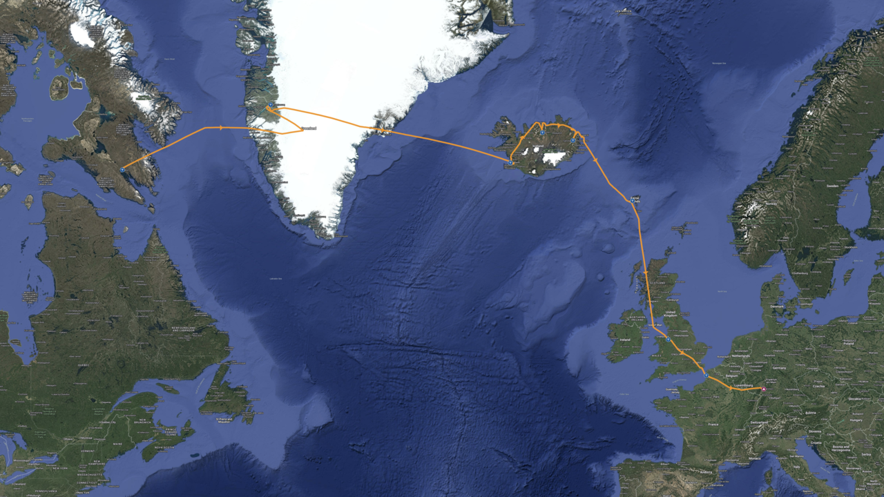
This didn’t work as planned: Greenland
We had only been to Narsarsuaq and Kangerlussuaq on Greenland before. We had heard great things about Ilulissat as well as Kulusuk and the capital of Nuuk appeared interesting as well. Our intended route after Iqaluit was therefore Nuuk – Ilulissat – Kulusuk. This would solve another problem: Greenland’s airports are closed on Sundays except for the new field at Nuuk, and we would arrive on a Sunday if we would spend two nights in Iqaluit as planned.
We applied for permissions at the three airports on the respective dates and immediately got a reject from Nuuk with the reason that there were already four planes parked on that date. Tina tried to negotiate with the argument that the ramp was huge and the plane was small, but to no avail, as expected. At least the other two airports were fine with our visit.
In Iqaluit fuel is only available in drums and as always whole drums have to be purchased. Our tanks weren’t empty at all when we arrived, so we only took one drum. We thought that would be plenty for the flight to Nuuk or Ilulissat, but this turned out to be a mistake. We couldn’t fly to Ilulissat on Sunday, so we had to spend a third night in Iqaluit. Unfortunately, the weather forecast for Greenland’s west coast turned worse and worse each time we checked it. On Sunday evening we decided to skip Ilulissat as well, we would fly to Kulusuk early on Monday morning – weather was forecast to be nice there.
When we checked the weather on Monday morning, Kulusuk reported fog. However the TAF promised CAVOK all day long so we were confident we could make it, but we planned Kangerlussuaq as alternate.
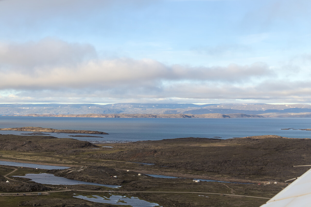
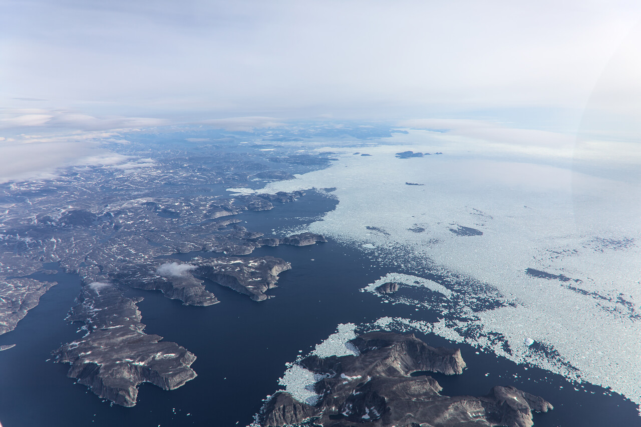
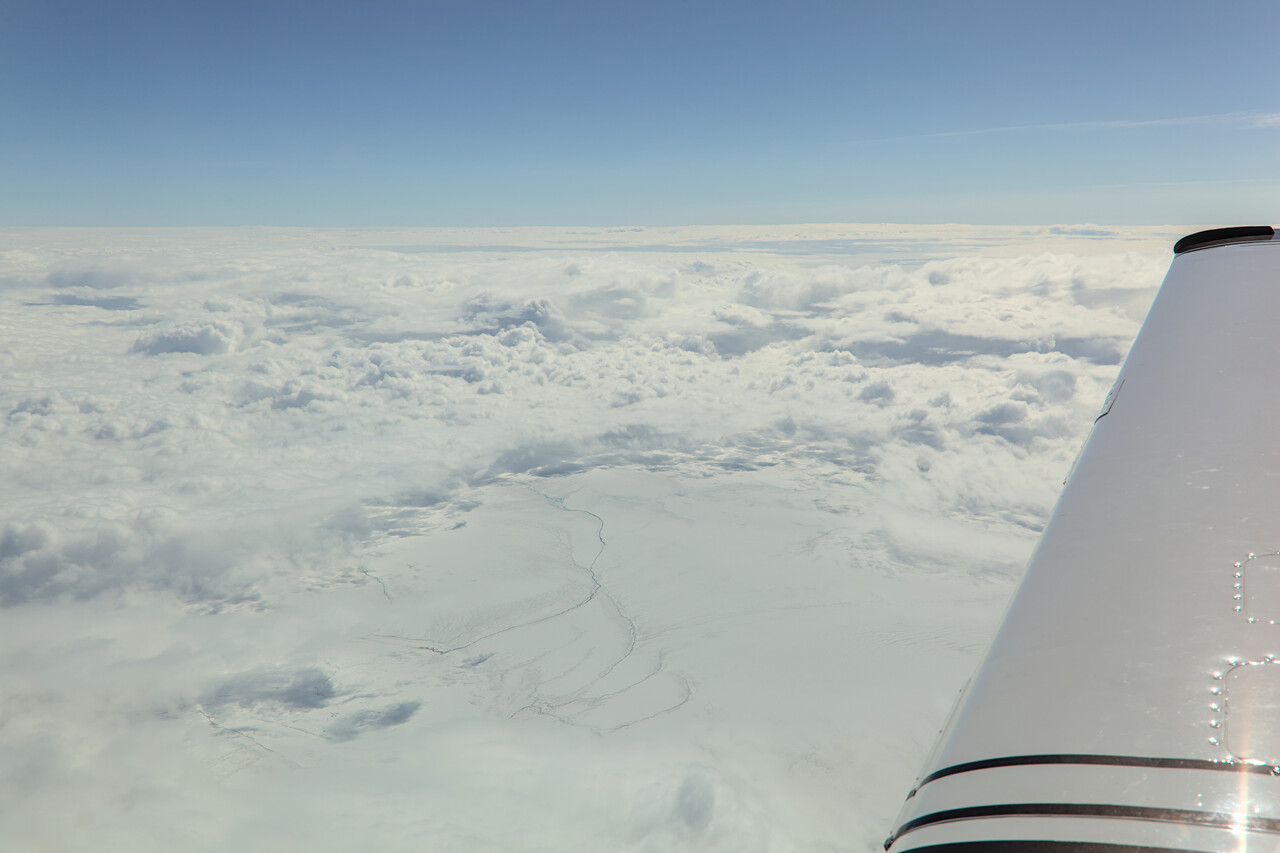
We checked the weather at Kulusuk several times and in fact it improved. However, when we checked again after passing Kangerlussuaq, the TAF suddenly reported PROB40 temporary fog for the rest of the day. Good alternates are scarce for Kulusuk. Kangerlussuaq would be closed if we returned after one attempt. Reykjavik and Nuuk (not an option anyway) were too far to reach with reasonable margins, so the decision was not too complicated: we had to divert to Kangerlussuaq immediately.
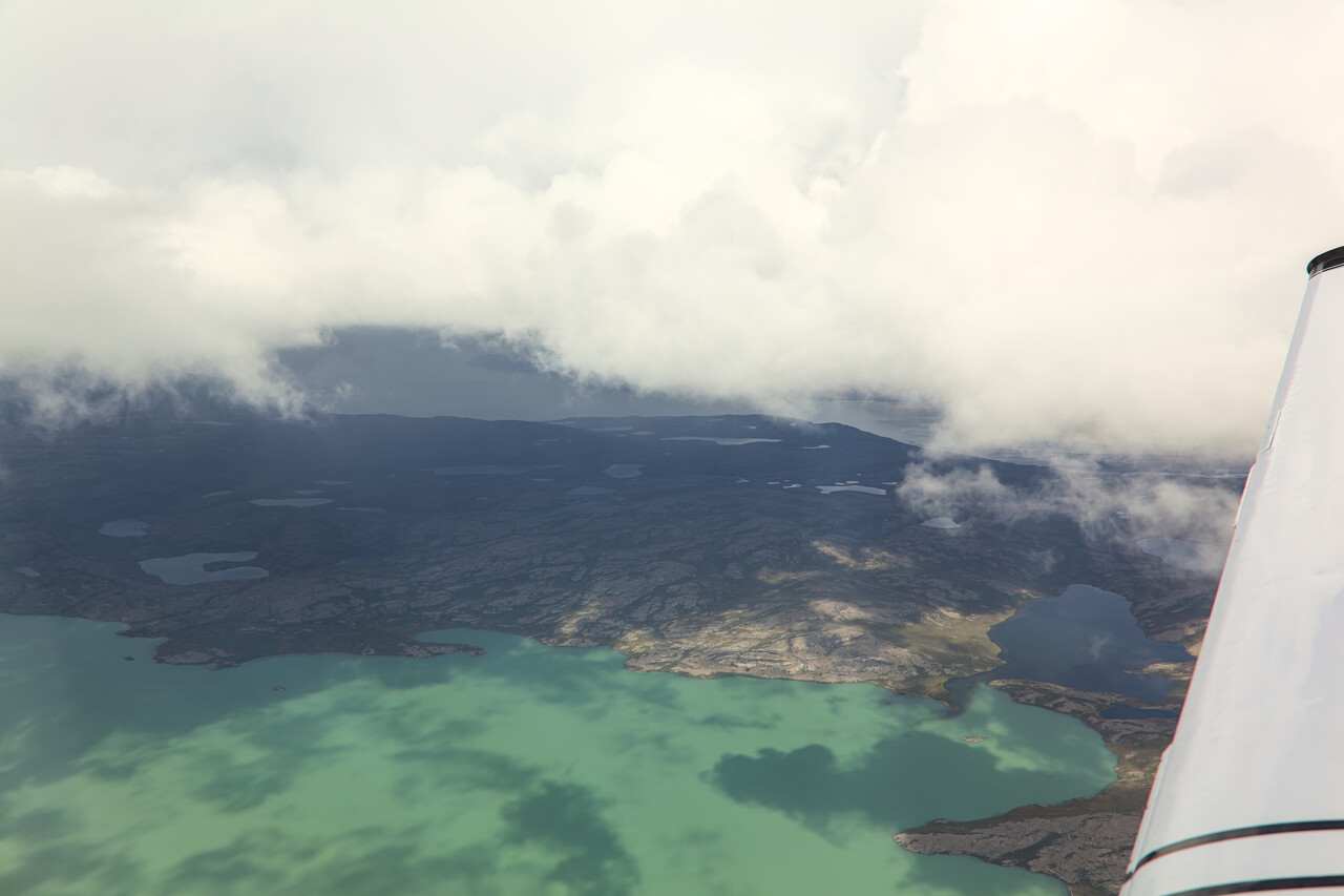
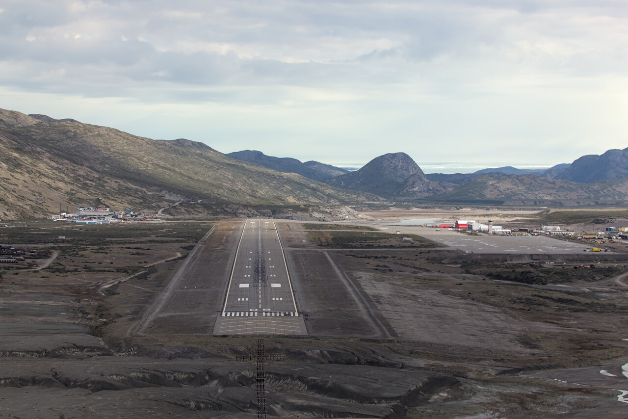
Descending into Kangerlussuaq was uneventful and we found clouds weren’t as compact as forecast. We didn’t fancy a night there with possibly worse weather the next day, so we tried to get out before BGSF closed.
Once on the ground, refueling worked quickly and we were taken to the terminal. We checked the data for Reykjavik and found that we could make it before they closed and land only a few minutes after sunset. Tina went to the office to pay the landing fees while I filed a flight plan to BIRK. We even were able to book a room in the hotel right next to the airport for the night.
We were taken back to the plane right when a shower passed the area. It didn’t bother us much once we had put on our immersion suits.
From the previous flight we knew that we would be on top at FL170 so I had filed that again. We asked for a visual climb to avoid the clouds that would be full of ice, as we also knew from the previous flight. ATC had no problem with our request as long as we stayed away from their approach path. Our tactics worked out fine and we reached our cruising altitude without picking up any ice. We could even get some nice views of Greenland’s east coast as the undercast cleared for a while.
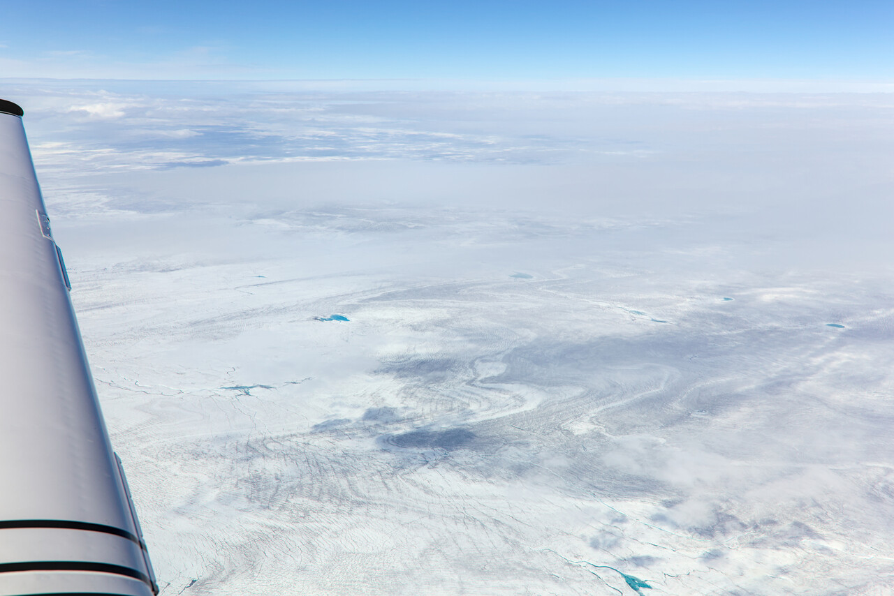
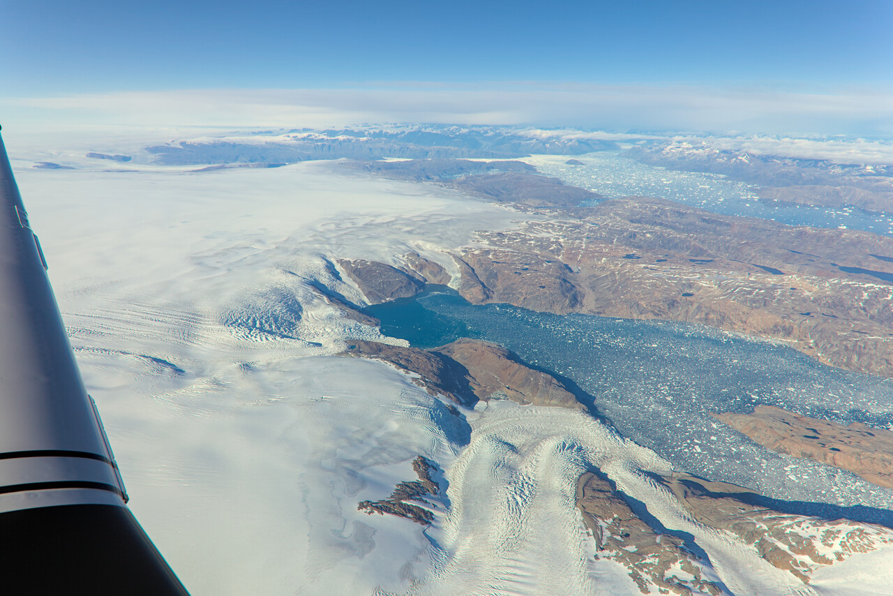
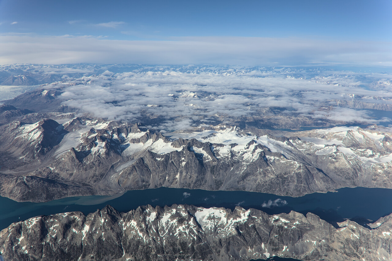
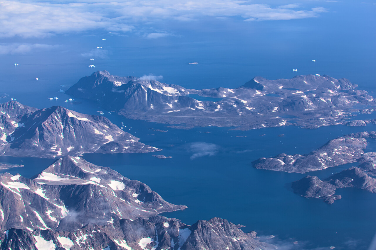
The clouds returned over the sea, so we had to fly an IFR procedure in Reykjavik and it was really late when we reached the hotel after securing the plane and clearing C&I.
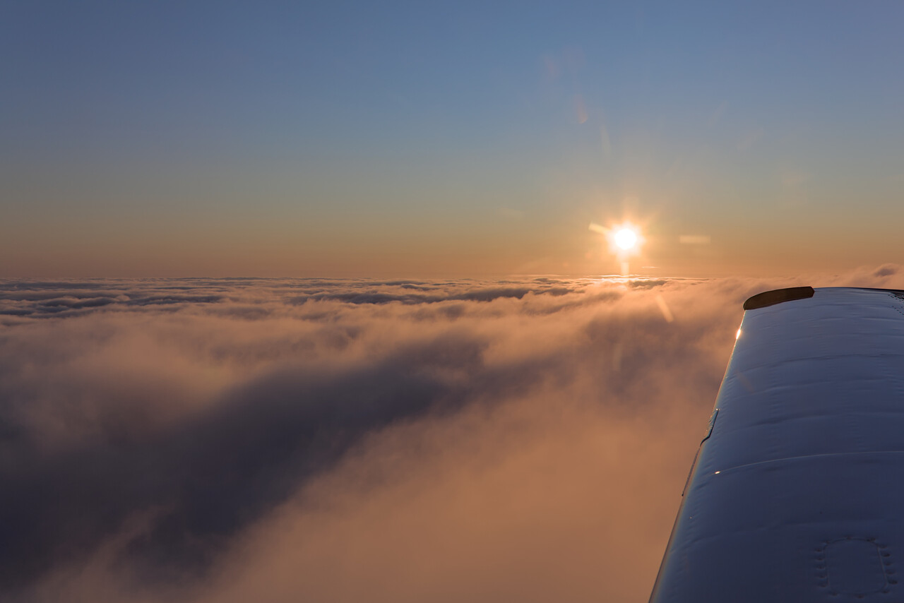
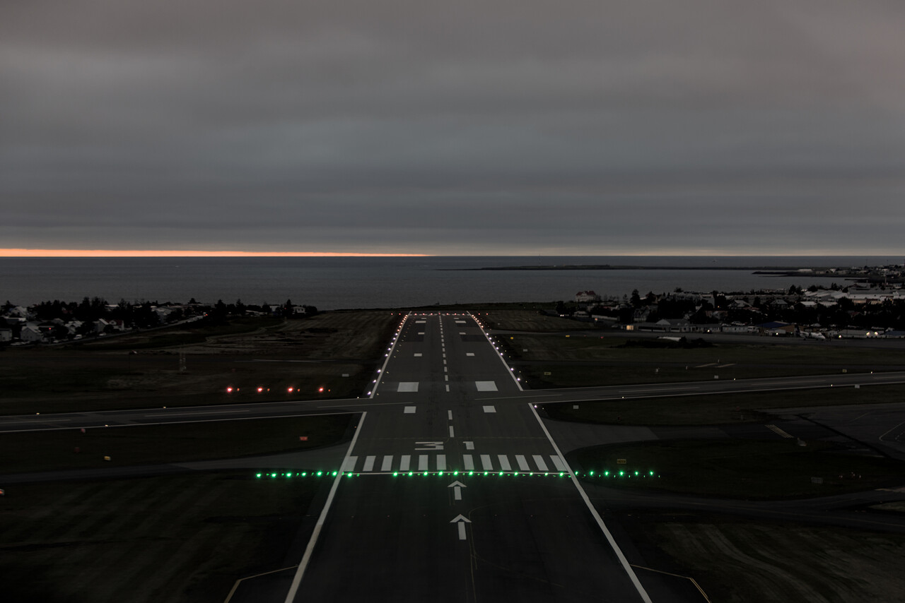
VFR in Iceland
The first thing we had to do the next morning was planning our next stops. We found that hotels in Iceland were not only very expensive but also mostly booked out. We could find a room in Akureyri in the north of Iceland for the night, so we decided to fly up there after breakfast. Weather was forecast to be nice, so we filed VFR, of course.
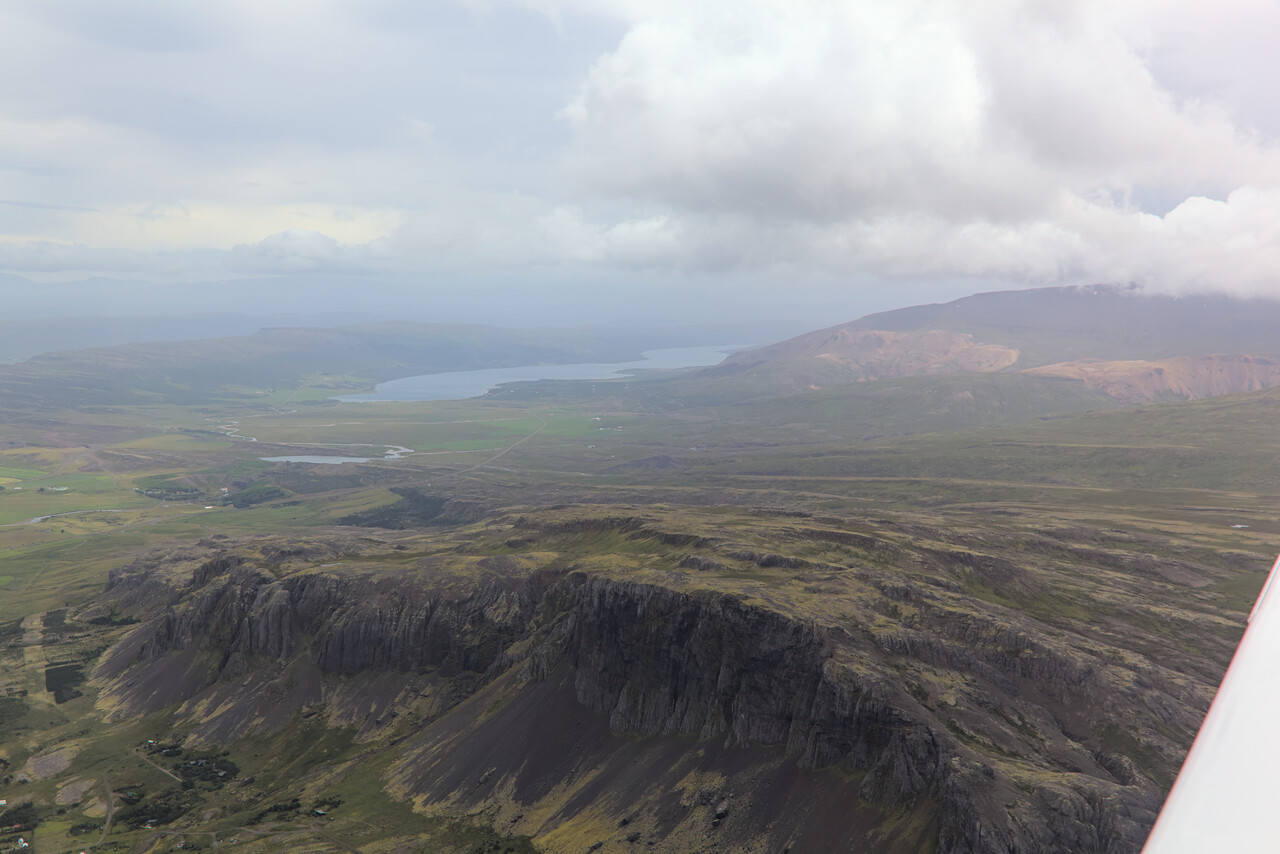
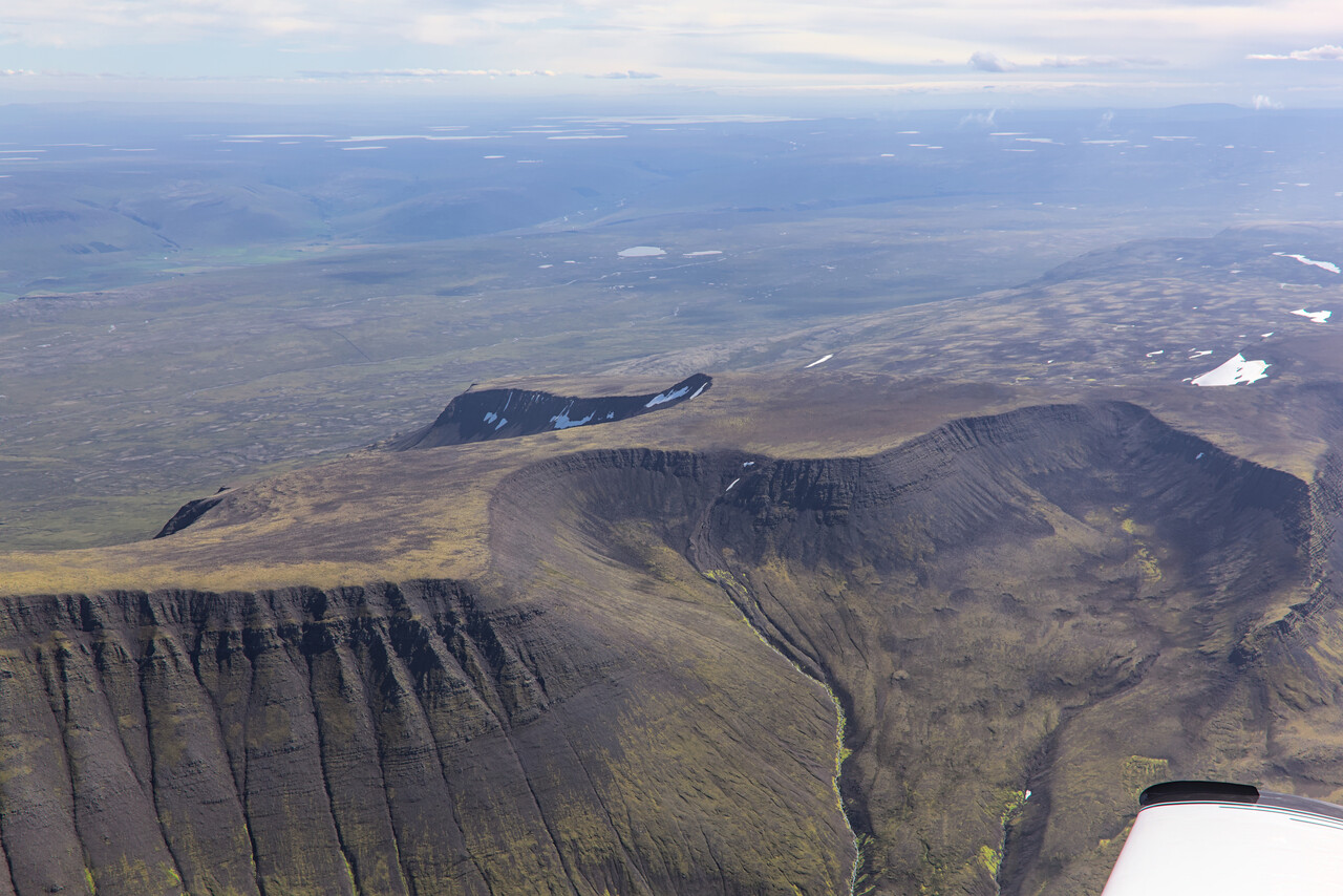
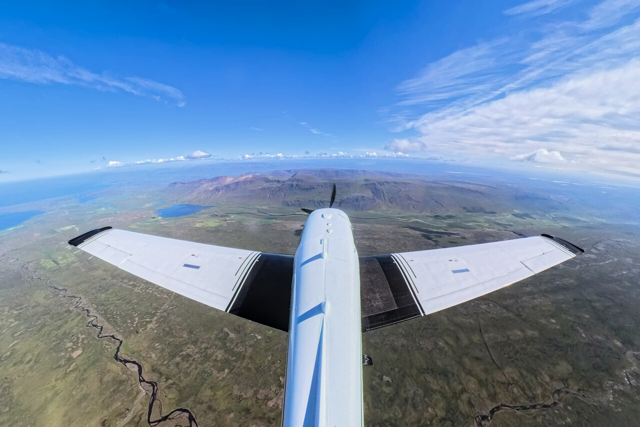
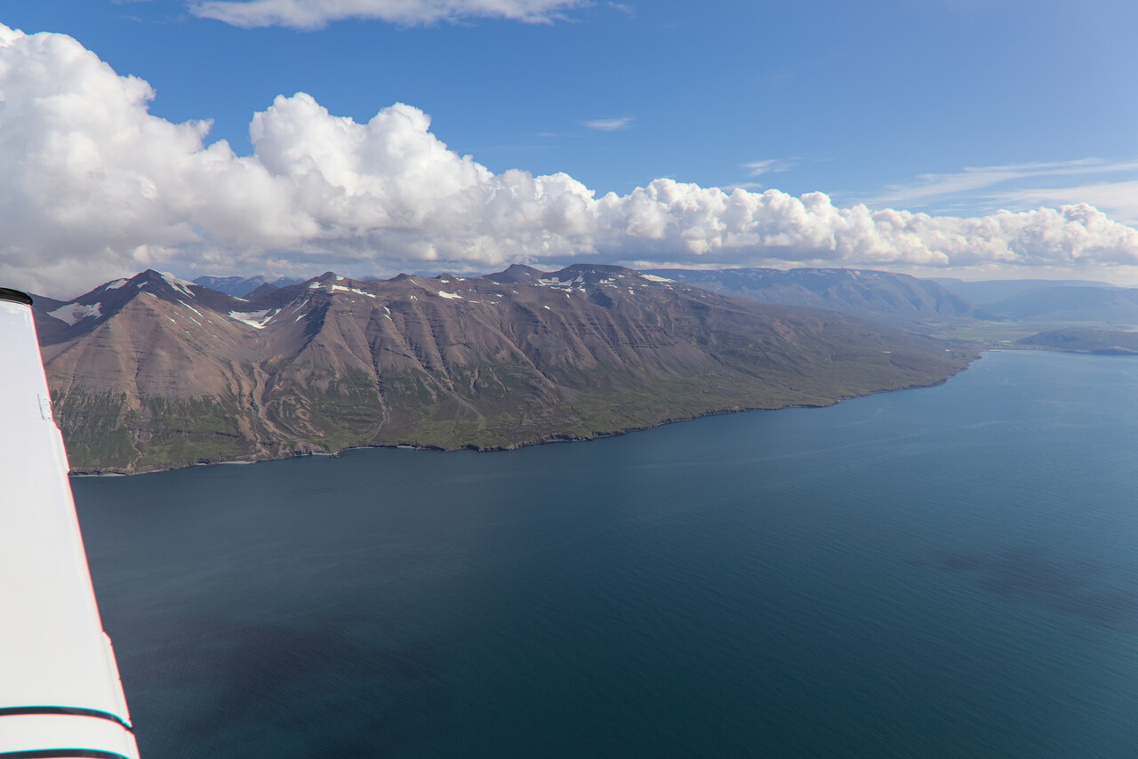
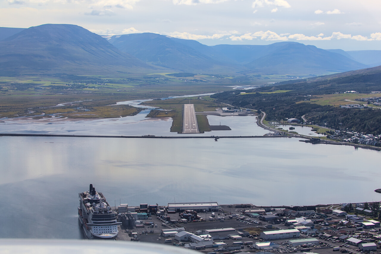
It’s possible to walk into Akureyri from the airport, what we did. While the surrounding landscape is really spectacular, the town of Akureyri is not that special, but nice for a stroll and we found a good place for dinner.

The next day was forecast to be passable for flying, but the following two would be poor. We found that we could rent a car in Egilsstaðir, so this was our next destination.
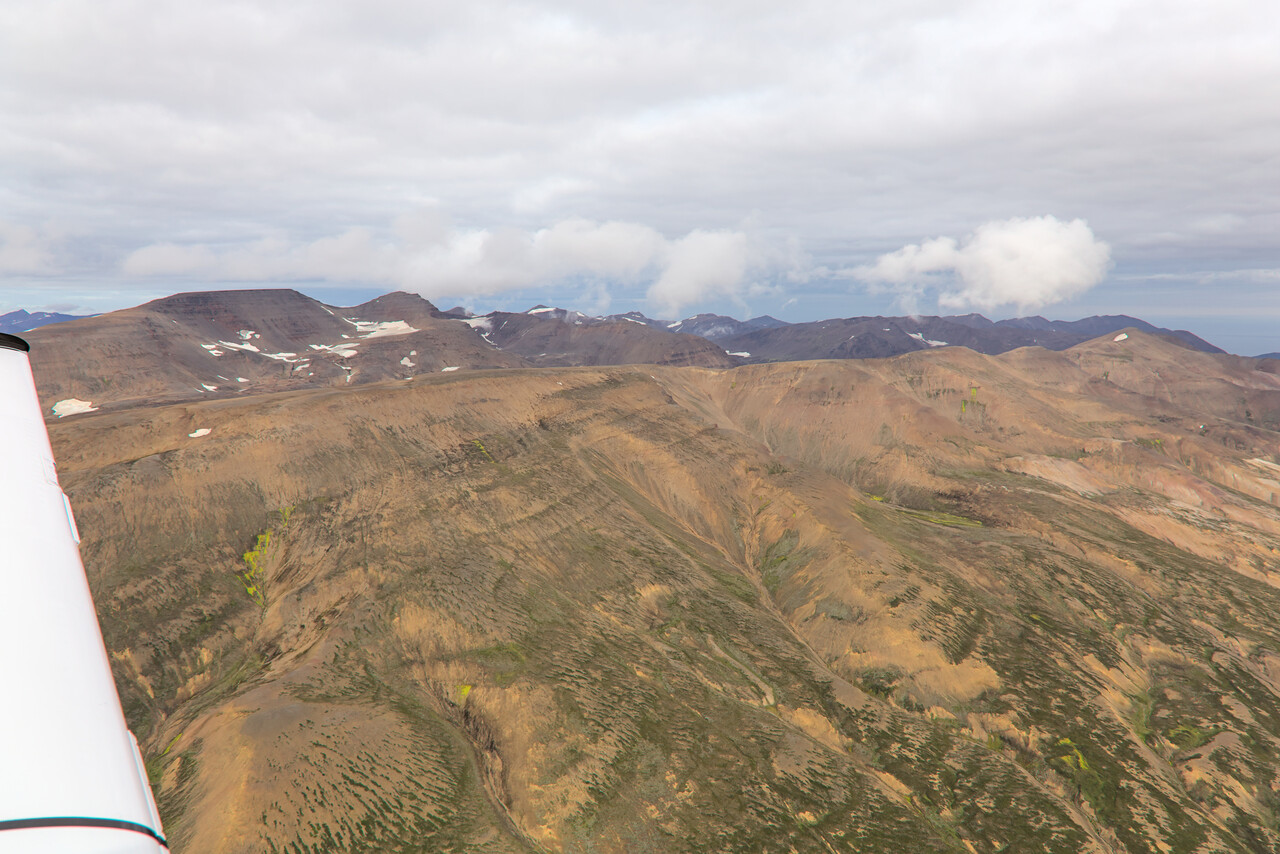
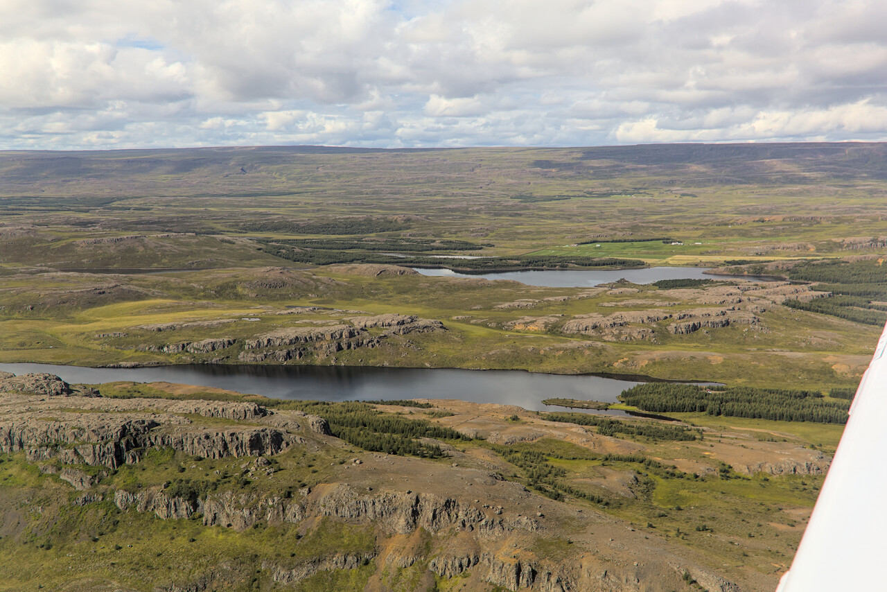
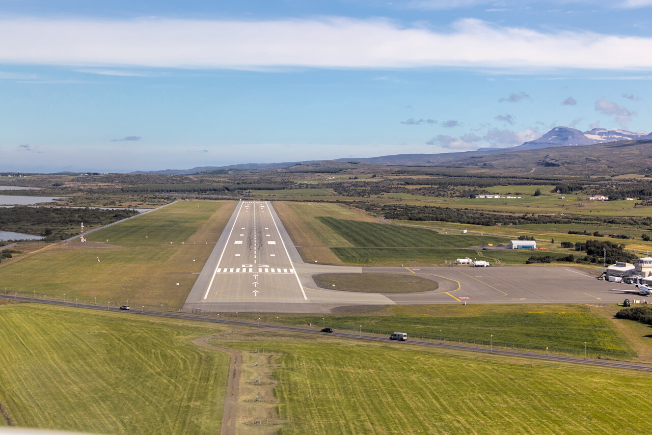
We explored the northeastern corner of the island with the rental car the next two days. We did a few hikes as well, however weather wasn’t that great, most of the time.
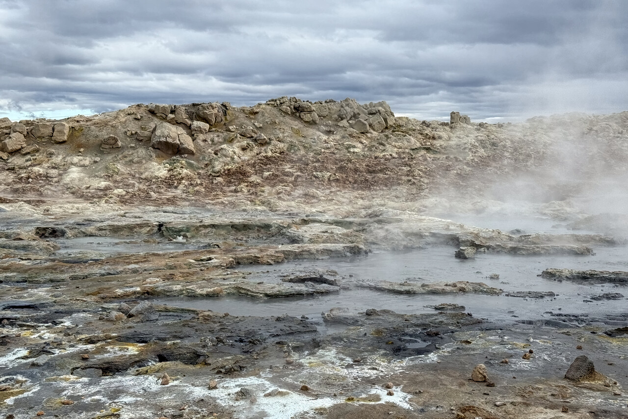
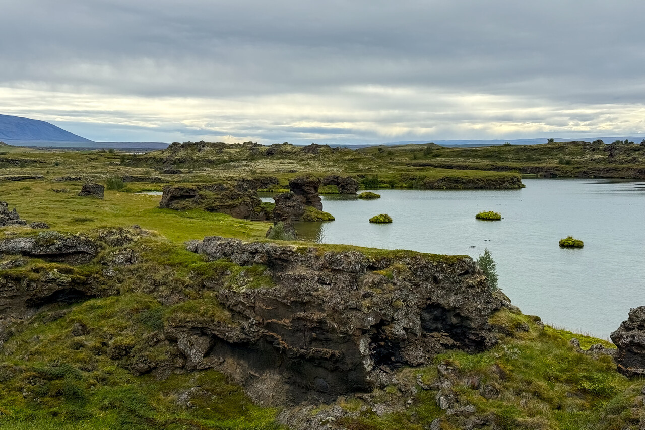
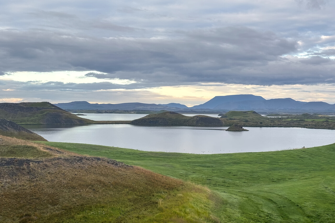
The Faroe Islands
Vágar in the Faroe Islands had been on our bucket list for years. We had overflown the islands three times in our Mooney but could never get a glimpse of them. According to Wikipedia, the capital Tórshavn receives the fewest recorded hours of sunshine of any city in the world. However, it’s not the clouds that make EKVG a challenging place to land at, it’s the wind and the turbulences. The airport has introduced a complicated warning system that grades the turbulence risk by measuring wind speed and direction at various places at the field and on top of a nearby mountain. You have to do an online course before you can apply for PPR at Vágar.
It was cloudy in Egilsstaðir when we departed for Vágar, but there the forecast was good: Gusts up to 31 knots but out of a favorable direction. We filed Z and departed VFR to get on top free of ice over the sea. Again this flight tactics worked out nicely.
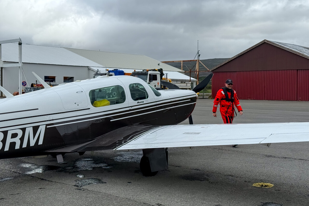
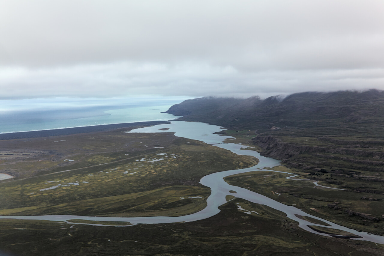
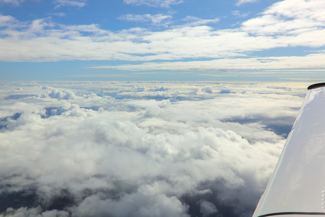
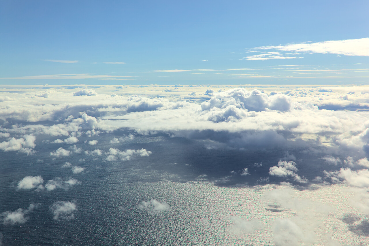
Clouds were not much of a factor when we reached Vágar, we could descend over the water and ask for a visual approach. The wind was as forecast, reported at 20G30, more or less down the runway. The approach was bumpy but well within tolerable limits. I opted for a steeper than normal short final but to my surprise the last 200 feet were relatively smooth. At least near the threshold wind direction turned to a stiff crosswind, but also well within limits.
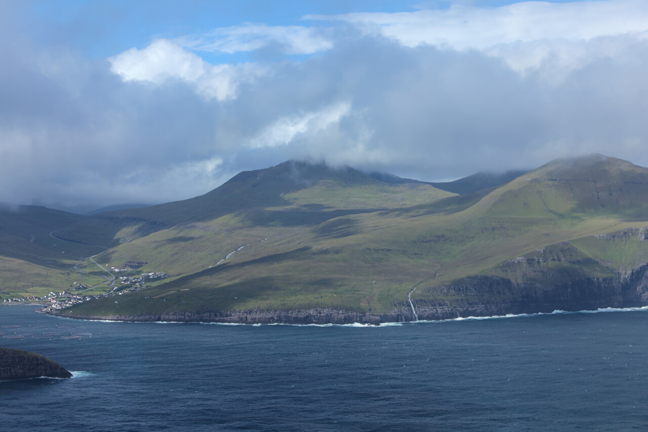
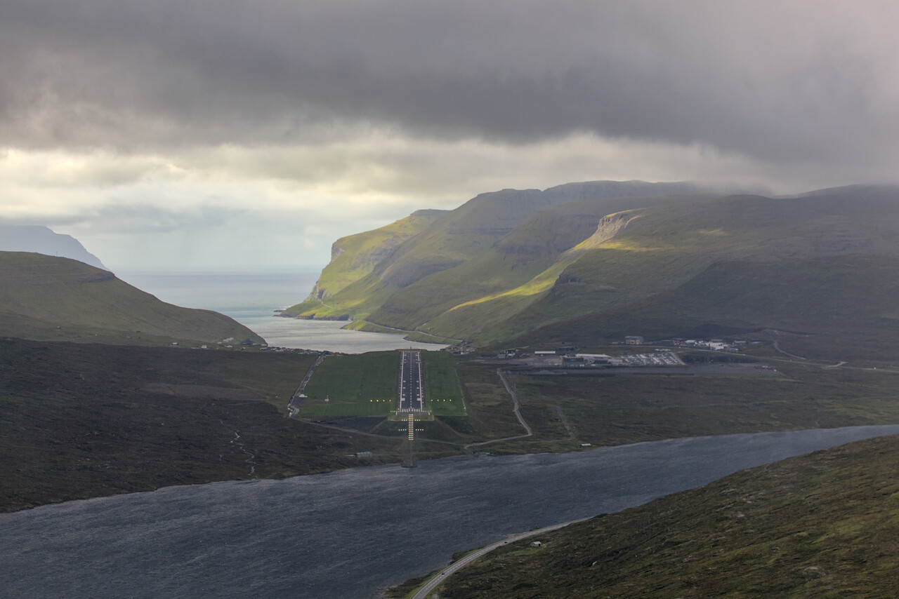
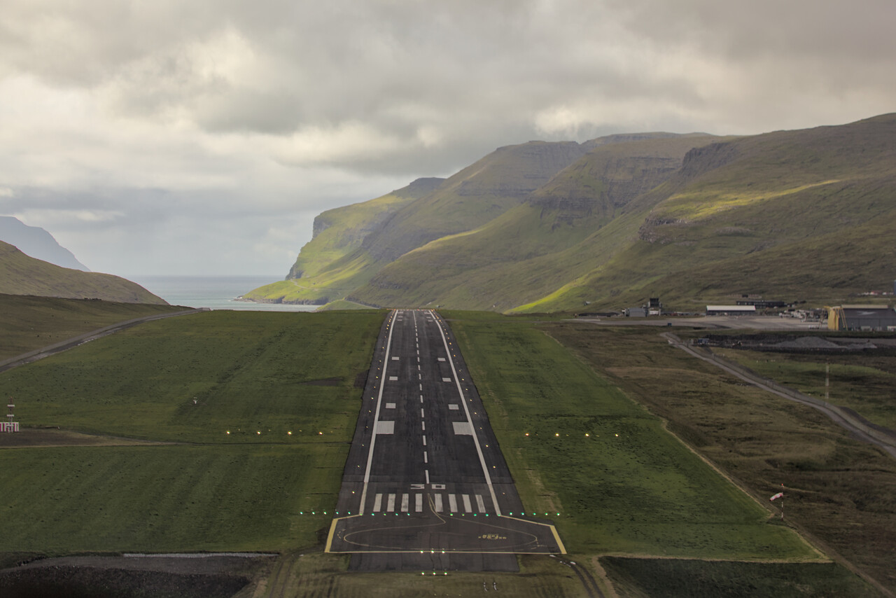
We had checked the hotel at Vágar (there is only one) before we left Egilsstaðir and they had rooms available. However booking would have been non-refundable, and we didn’t want to risk that at a price of 300€ per night. When we checked again, right after landing, there was no vacancy. Once inside the terminal we asked for help at the tourist information booth. The friendly guy behind the counter said that he had no other information than what Google would find, but we should try Airbnb. We hadn’t done that because it’s usually not good for spontaneous bookings, but we gave it a try. In fact we found an option: a travel trailer in the front yard of a house in the village of Sørvágur, below the airport. To the best of our knowledge it was the first time for both of us to sleep in a travel trailer in all of our lives. Anyway, it was not bad at all. There was a supermarket where we could buy basic supplies for breakfast, there was a nice restaurant for dinner and the trailer was warm and comfy.
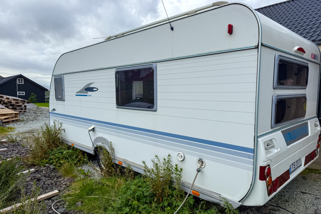
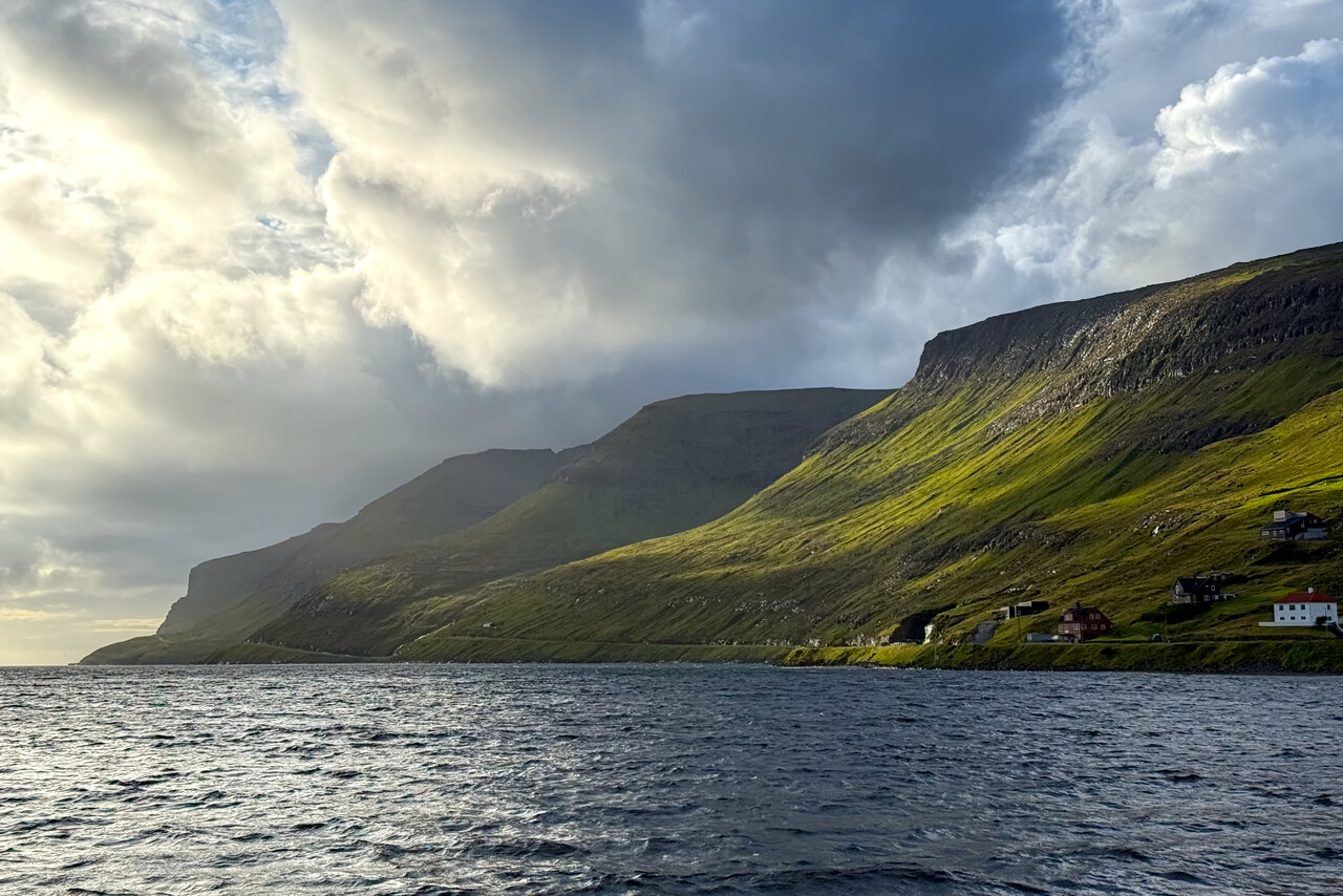
Following our intention to do short flights as far as possible, we had looked for a place in Scotland as our next destination. We tried Wick, Stornoway and Inverness. Our arrival would be on a Sunday, and none of them were possible. They were either closed on Sundays anyway or NOTAMed as unavailable due to staffing shortage. Luckily I had read a positive report on Chester/Howarden in England, so we decided to fly there.
After the night in our trailer we walked up to the airport again, right between two showers that passed through. Wind speed was about the same as the day before but now from a less favorable direction. Clouds were low but there is no instrument departure at EKVG suitable for an SEP. We had to depart visually, below the clouds. Once we were a few miles away from the islands, it cleared up as it was forecast.
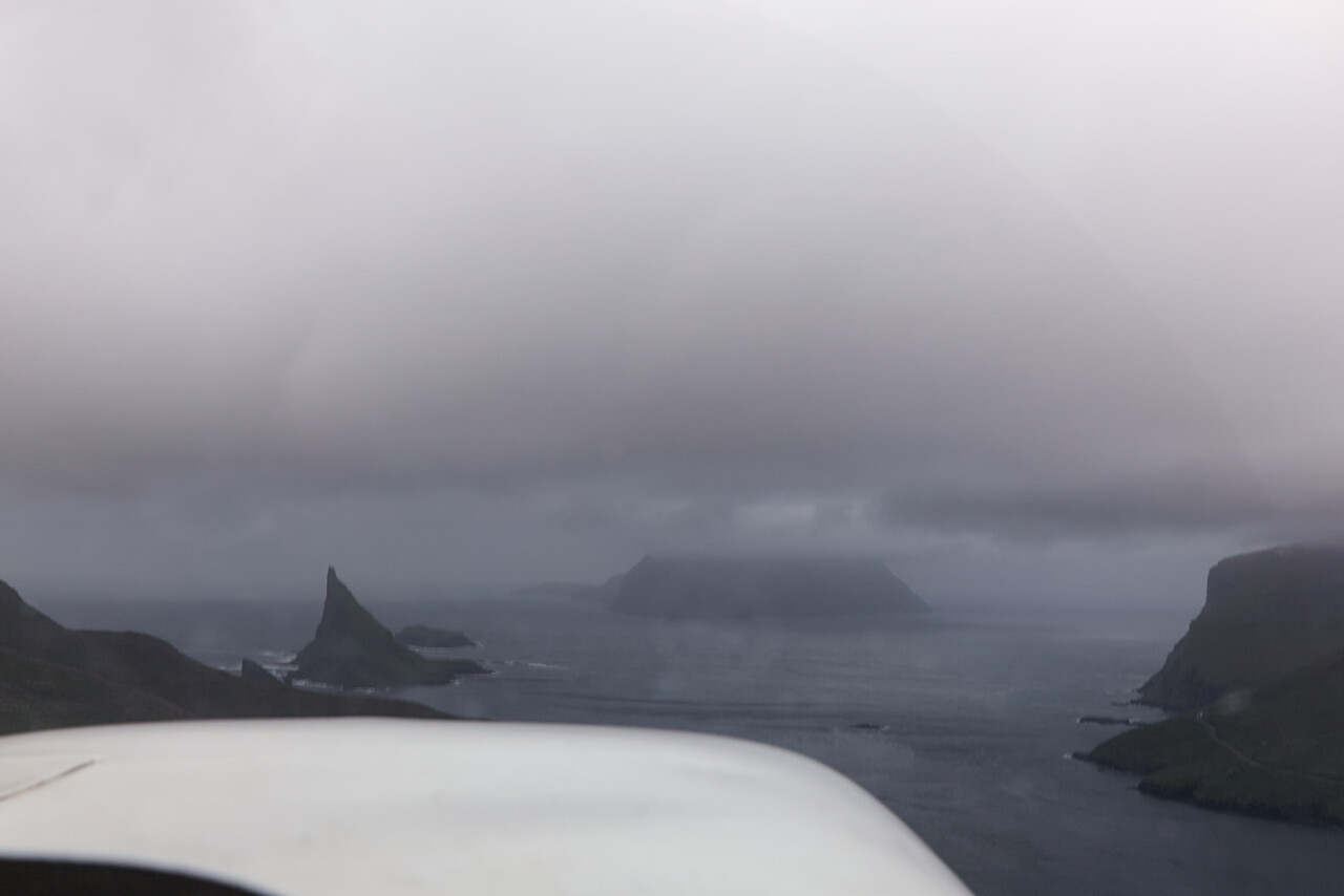
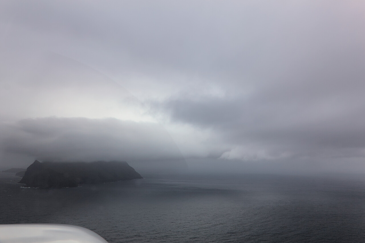
The last Atlantic leg
We climbed to FL110 where we were on top, before the clouds cleared completely for a while. Once we saw Scotland beneath us, we declared our fifth crossing completed. The flight to EGNR was uneventful, and in fact it turned out to be a really pleasant airport.
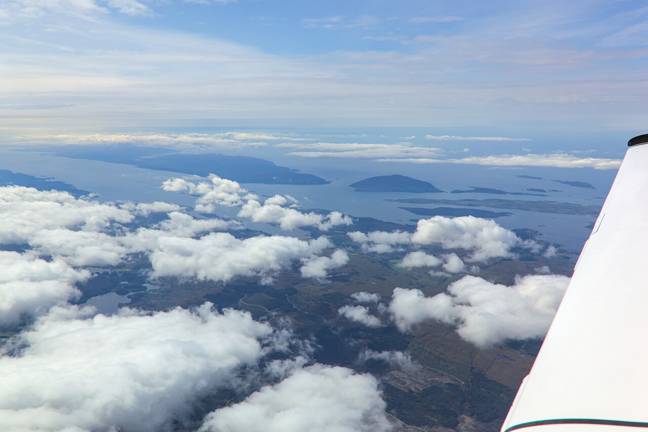
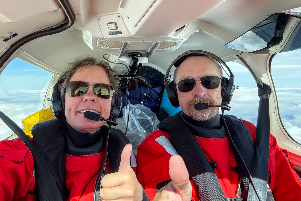
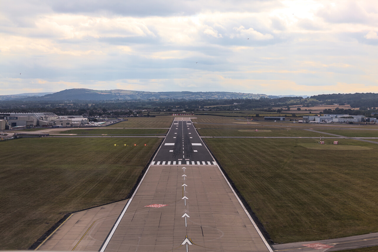
Almost at home
Chester turned out to be as nice as described in the report. It’s a good place to spend a day visiting the many sights. And of course there is great English breakfast to be had!
We had never been to Le Touquet, so we made this our last stop before Mannheim, in accordance with our short flights mandate. We could do the short hop across the Channel in nice weather, but we had filed IFR anyway due to the complicated airspace around London. English ATC had a good day and the vectors we got weren’t too bad.
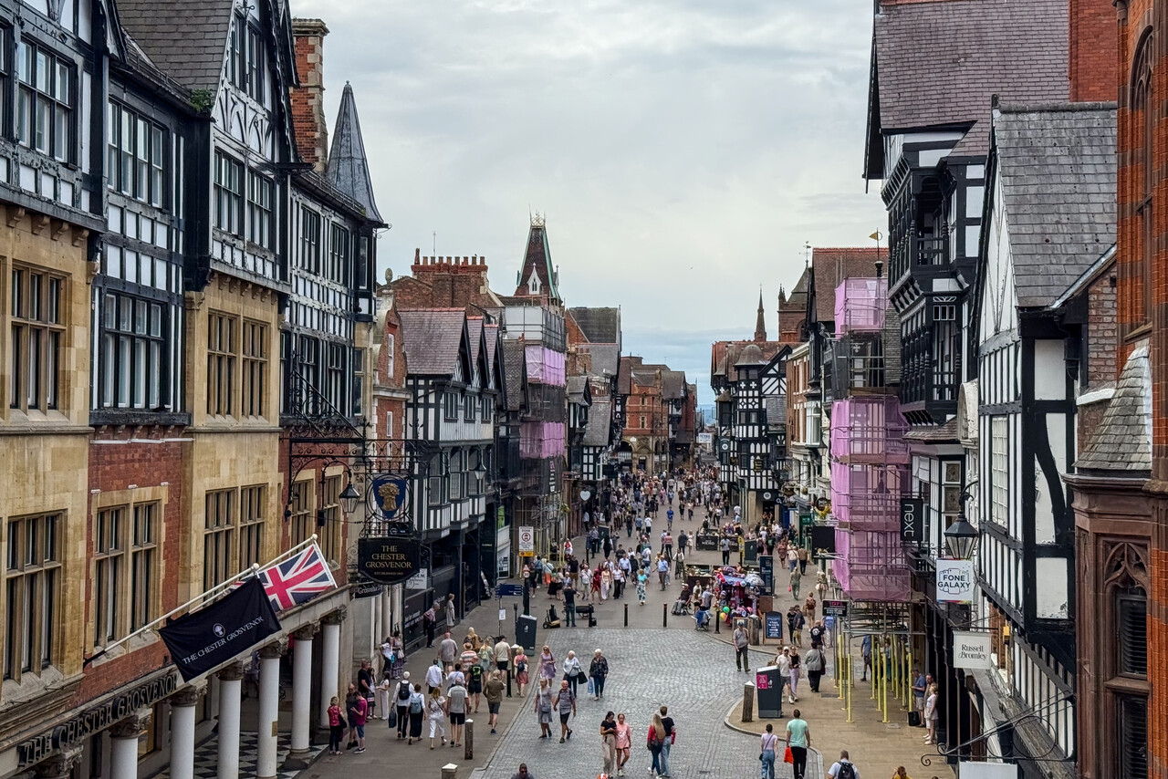
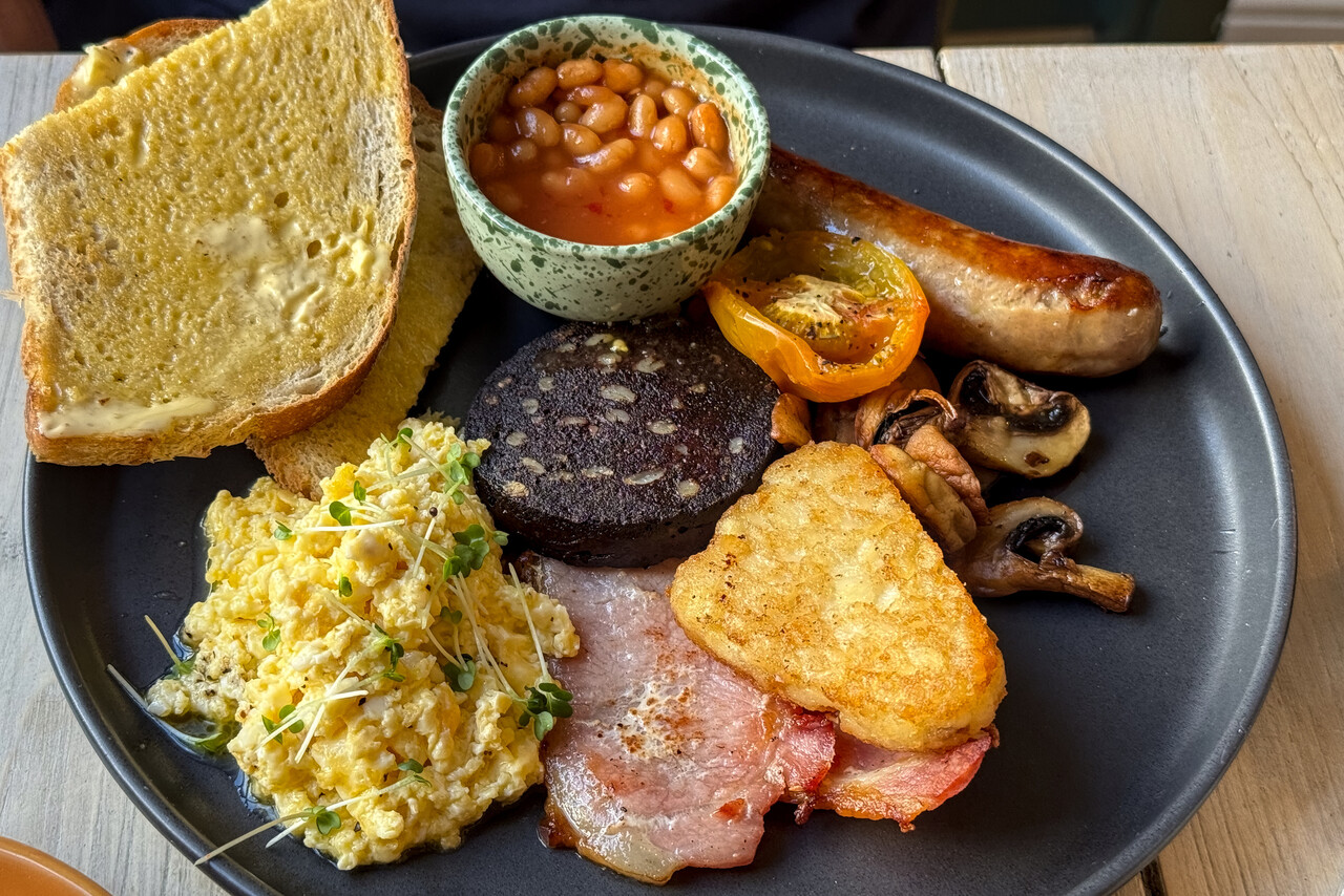
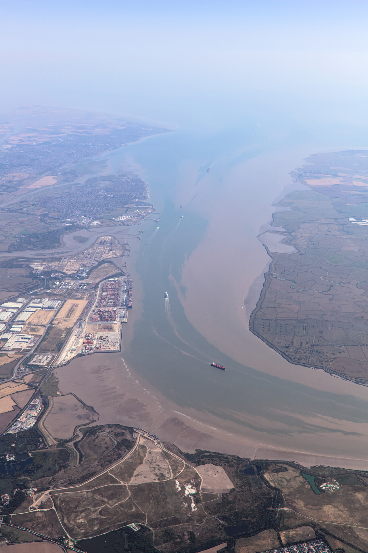
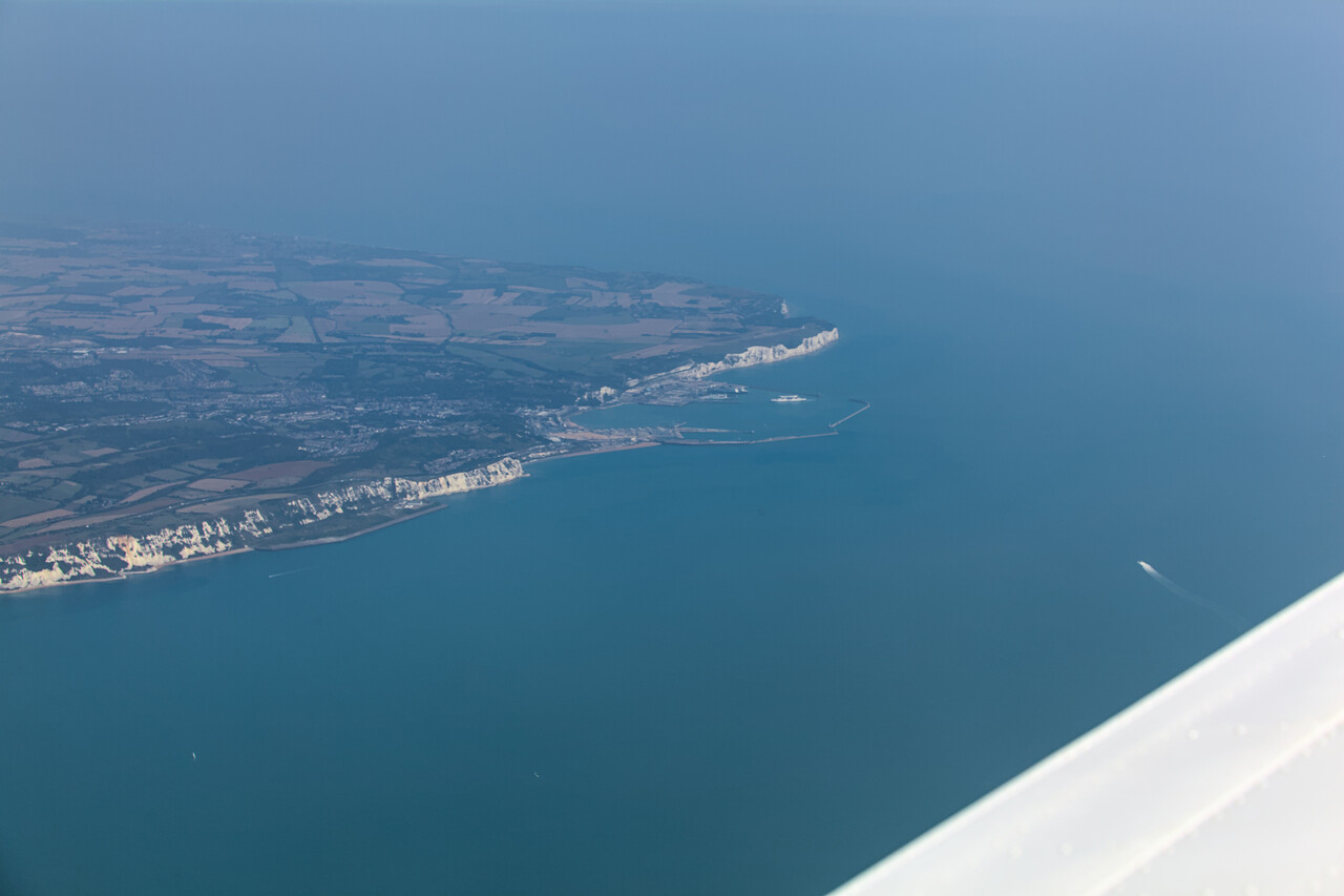
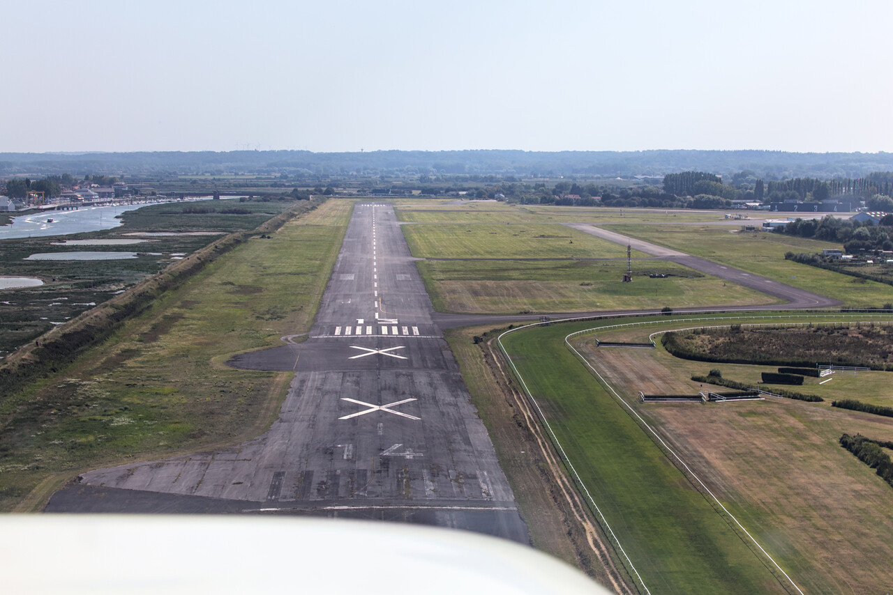
We spent the afternoon in Le Touquet and the night in a hotel in Étaples but honestly I failed to understand what so many people like about this place. The airfield is OK, but I found the town boring and the beach unappealing. At least we found a nice place for dinner where we celebrated our return to the continent.
The next morning we filed VFR for the final leg of the journey back to Mannheim. It was an enjoyable flight across northern France and southern Germany. It was very hot at home, though.
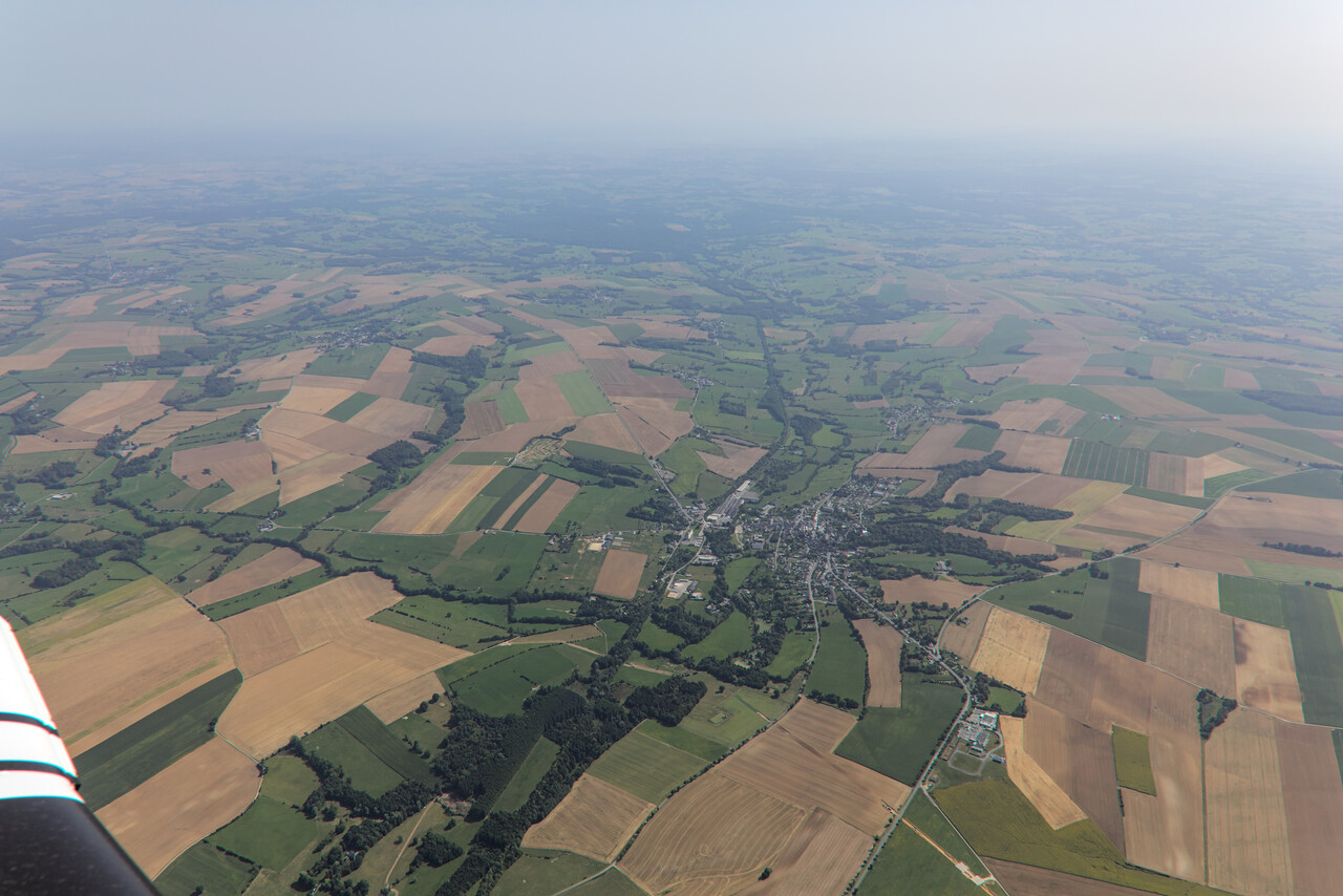
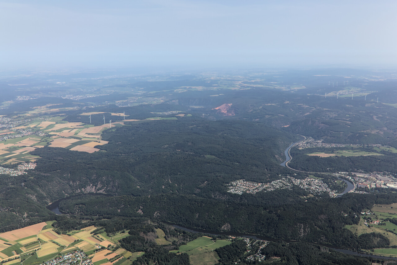
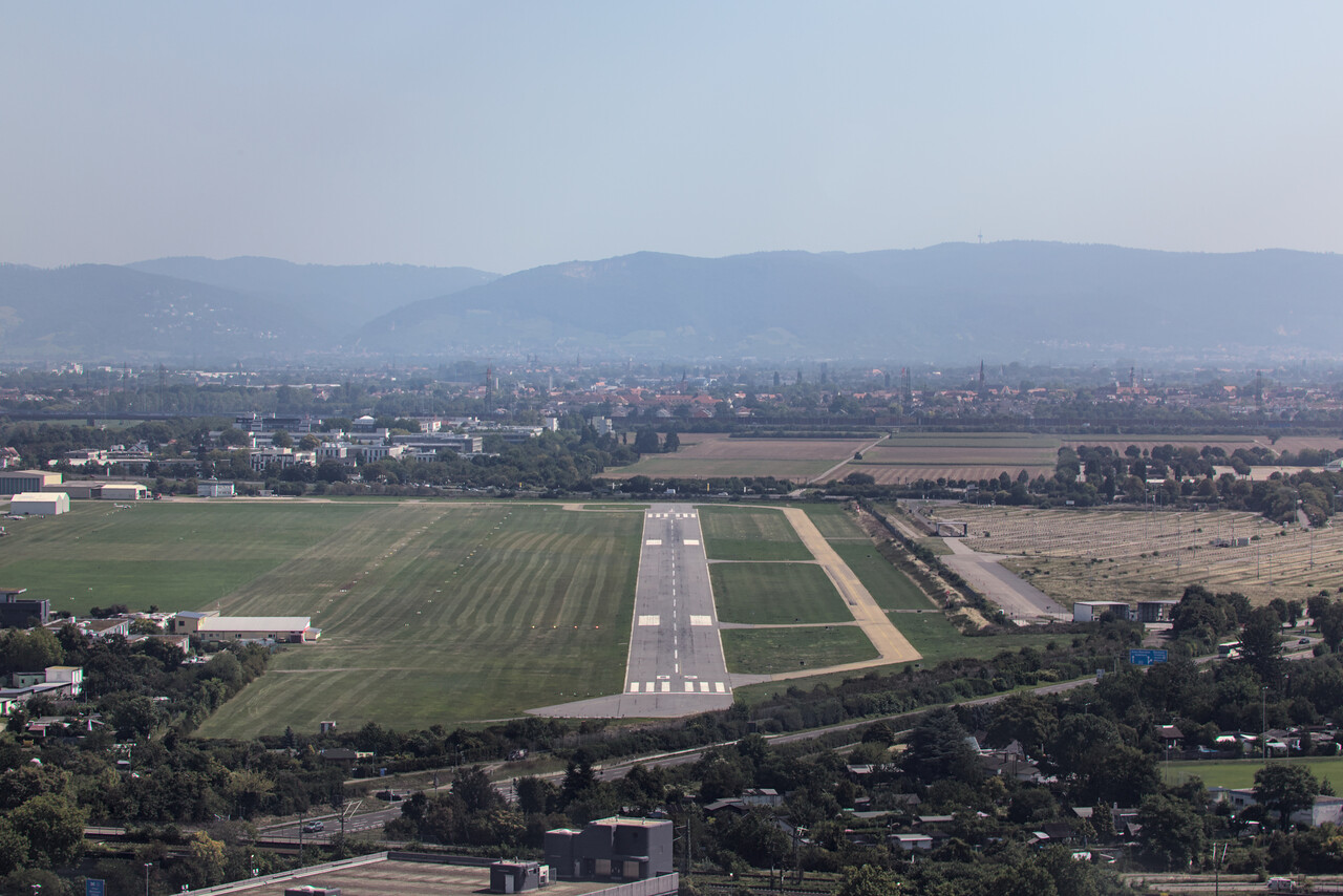
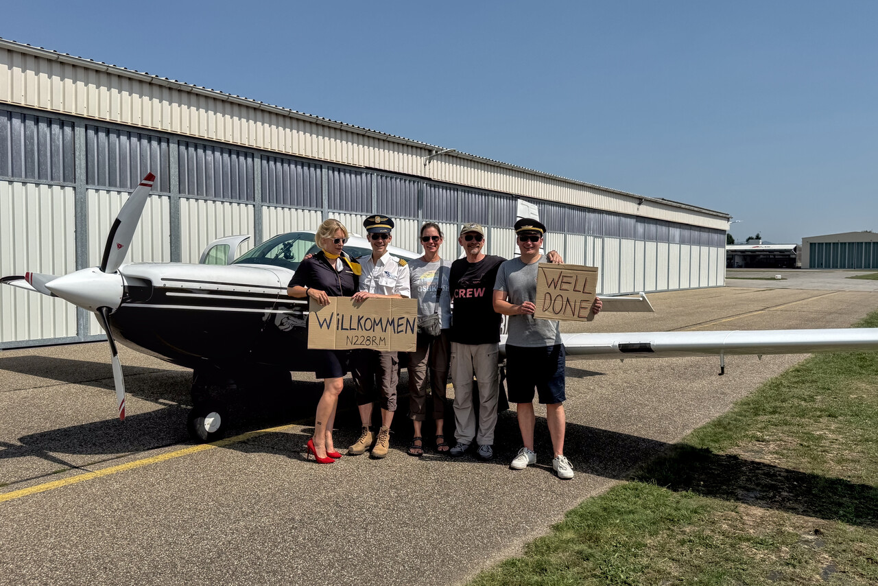
Looking back: Our journey in retrospect
We covered 23,364 track miles and logged 158 airborne hours. This calculates to an average ground speed of 148 knots what is roughly our true air speed (varying with altitude, of course). While we enjoyed pretty good tailwinds on the Pacific leg and partially from Egypt to Bangladesh, it wasn’t that good during the other parts of the journey. Moreover, we flew pretty low almost all the way from Adak to Montreal. Finally, the rather northerly route we took to cross the Atlantic is not ideal if you want to get from west to east quickly. In hindsight it would have been much better to fly via Goose Bay and Narsarsuaq, but we couldn’t know that none of our intended Greenland stops would work, of course. Altogether it took us 103 days and 47 flights from Mannheim to Mannheim.
Except for the lacking tailwinds there is really nothing to complain about regarding the weather. We were able to follow the schedule of our spreadsheet all the way to Obihiro without much drama. Three days of waiting for perfect conditions for the Pacific leg was much better than we had hoped for, and even Alaska worked out nicely. We spent much of the time in the US in the Southwest where good weather is fairly common and we didn’t encounter any problems there. Weather didn’t cooperate in Greenland, but then again, the rest of the North Atlantic was a rather benign experience this time.
We did all flights within the USA (Lower 48 as well as Alaska) under VFR with only two or three exceptions. We flew all the domestic legs in Iceland and the very last leg from LFAT to EDFM under VFR too, for all the others we filed IFR. Most of the time this was not because of the weather but for practical reasons. In most of the countries we crossed, private small GA is unheard of and ATC will usually treat you like IFR traffic anyway. We would have tried VFR in Japan, but we had rather poor weather there on all domestic legs. We did the Oceanic flights under IFR to have access to airspace Alpha that starts pretty low in most FIRs. We flew almost all the long IFR legs at FL170 or FL190.
What we are most happy about is the reliability of our aircraft. Besides the broken oil temperature gauge wire that I could easily fix, there was not the slightest issue. The engine didn’t miss a beat, the airframe didn’t cause any problems and the avionics worked flawlessly – even our HF radio.
The legs across the Middle East as well as over India and Myanmar were stressful and very intense. The conflicts there made these areas, which are normally already not easy for small GA, even more difficult. Nonetheless, as mentioned, all permits arrived in time and Avgas was available as requested. White Rose, AFM Aviasi and Petair did a great job.
In comparison
This was the fourth “long” Mooney journey for us, after North America (2014), South America (2017/2018) and Australia (2023/2024), and it was really unique. All the other trips had a destination (area) where we flew to. There was a journey to the destination and one back home. We didn’t have that this time and it sometimes gave us a somewhat restless feeling. We did more flying hours per day on this trip what may have contributed to the feeling. Interestingly, this was the shortest of the “long” journeys, by flight hours as well as by the time we spent away from home.
Without doubt this was the most challenging flying adventure we ever set out on. We had to fly through many countries that are difficult for small GA. The trip took us through the tropics as well as the Arctic, and we had to fly our longest over-water leg ever. However, we weren’t completely new to this. Our previous trips can be seen as an ideal preparation for this one.
Completing this journey was unique also on an emotional level. Not only because a flight around the world is unique in itself and it had been a dream of ours for many years, but also because we already had given up on this dream, as mentioned in the first chapter. Therefore it’s impossible to compare this trip to our previous ones, it was really quite different.
And now?
This was certainly a once-in-a-lifetime experience and it was well worth the money and the effort. It goes without saying that we will not do a round-the-world flight again. And this time nobody left any kind of thorn in my side, I don’t have the feeling that I have to do anything urgently before it’s too late. We are really determined to stay in Europe for the next years and fly around here – there is still a lot to see. I could even imagine to tackle the Atlantic once again in a couple of years as we still have a bone to pick with Greenland, and we haven’t seen much of Canada, but this won’t happen anytime soon. Our appetite for the more difficult countries is satisfied for the moment, I can’t imagine to fly e.g. to India again. Then again, you should never say never.