


Hasta el fin del Mundo
Before we left
A Mooney 252 is a capable aircraft but even in one of these planes flying from Europe to South America and back is quite an adventure. It requires quite some planning but first of all, one needs to have the crazy idea to to tackle this endeavor.
Why Tina and I flew to the end of the world
The story started beginning of 2011. We were sitting over a beer in a sidewalk café in Mendoza, Argentina, when we decided that we would buy an aircraft. At that time I was holding a CPL/IR with about 500 hours under the belt and Tina was a freshly minted private pilot. Earlier on this trip we flew out of La Paz commercially and thought what a dream it would be to land there.
Once we were back in Europe we started to investigate the purchase in earnest. From the beginning it was clear that the purpose of the aircraft would be to fly across the Atlantic one day. In June 2012 we bought a Mooney 252 that we had found after quite some woe with deals that wouldn’t materialize. The Atlantic crossing came much sooner than we had expected, in 2014 (see the little report on our Oshkosh visit).
We returned from America in October 2014 and were satisfied for a while and focused on other things, e.g. the new panel. As it always is, after a few months we started thinking about what we could do next. After a while it became clear that we might be able to take a leave again in 2017/2018. We had been to South America many times before and considering where we had decided to buy an airplane, it was obvious that this would be a tempting destination.
Planning
The idea was a hot topic in our table talk over dinner each night. One evening I sat down in front of my Mac and started to play around with skyvector. I googled airports and found that AC-U-KWIK has public info about ports of entry and fuel availability. After a few hours I had found a feasible route that could take us to Ushuaia (SAWH), and back again. Ushuaia is a town in the very south of Argentina which deems itself el fin del mundo, the end of the world. I copied the link and sent it to Tina. She was determined to tackle it from the first moment.
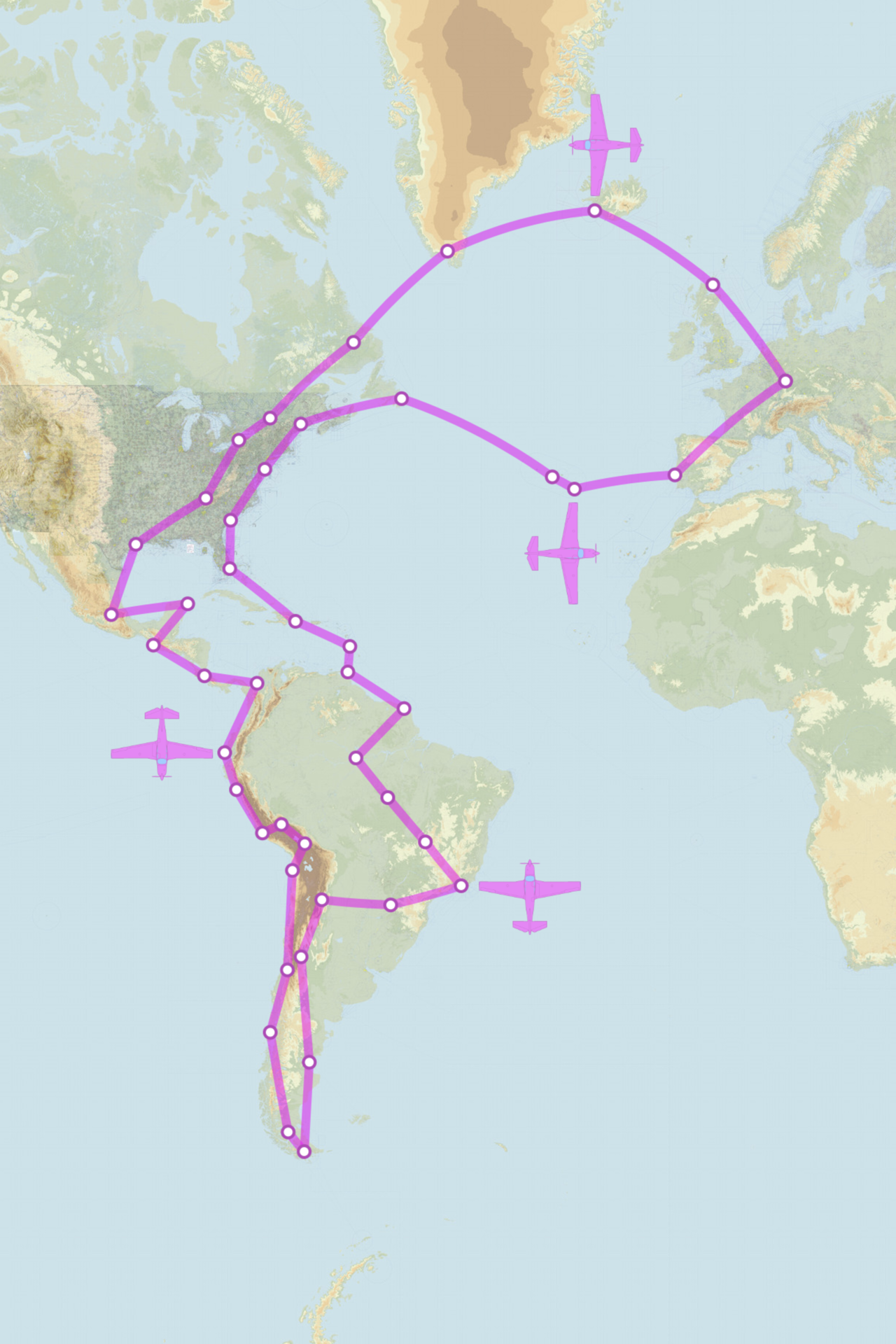
I was a little hesitant, thinking about all the problems that might come up on such a trip. Anyway, she convinced me that we had the chance and it would be stupid not to go for it. We were sitting in a local pub in November 2016 and formally decided to kick off the project. From the beginning it was the idea to skip the European winter 17/18.
We created a shared dropbox directory that would hold all the project data. A text file was used as project backlog. Management wasn’t that difficult as the project team had only two members but anyway, we dynamically added backlog items, one of us would take them and set the state to done when appropriate.
There was a lot to do. E.g. Tina contacted the embassy of each country on the route (except the ones we had been to before), to find out if we needed a visa to get there (it turned out we did not). We downloaded all the relevant AIPs available. I looked at climate charts and found out that my first idea to fly down via Mexico and the west coast and back via Brazil and the Caribbean was stupid. To do it the other way round was much better.
Tina listened to South American LiveATC each evening and I talked to our A&P during the usual owner-assisted annual. For a while we considered to outsource getting the permits but we decided to do it ourselves. In Europe we use Autorouter for planning and Skydemon as charting app, none of which work in South America.
We went to AERO trade show to get in touch with RocketRoute. The experience at their booth was less than stellar and we didn’t buy anything. However, later we subscribed to their worldwide program and got in touch with one guy whose help proved to be invaluable in Brazil (see the Brazil part).
Charting apps for the region proved to be scarce. In fact, Jeppesen MobileFD appears to be the only one available. Luckily the cost for South and Central America including the Caribbean was not outrageous. It comes with the enroute document which contains condensed information from the AIPs of the region. This was very handy for countries where there is no AIP online (Bolivia, Peru and Mexico for example).
We studied the entry and overfly procedures for all the relevant countries. Looking at the route, we found that the only permit-wise difficult countries on the way south would be Venezuela and Bolivia. All the others till Chile had straight forward rules we could comply with. We decided to prepare for these two beforehand and do the ones after Chile while on the way. The Bolivian authority was responsive to email, friendly and clear, while Venezuela was much harder.
By June we had collected all information available in our dropbox directory and planned the route in a little more detail. We identified the critical stops, in terms of availability of customs and Avgas. We got in touch with these airports to make sure we could fly the planned route. We didn’t do this where there were alternatives. For Argentina, Chile and Mexico as well as for the countries we had been to before, we didn’t do any detailed planning. The only exception to this was Ushuaia, of course.
Preparation
There was a lot to prepare besides the flight planning, of course and we really had a few busy months. Beginning of August we took the plane to the shop for the annual inspection. We sacrificed three months as we would have been due in November, but we wanted to have the aircraft thoroughly checked. We did it “owner assisted”, as always. Everything went well till we peeked into cylinder #6. I didn’t like how the exhaust valve looked. My A&P wasn’t overly concerned and in a different situation I would have just monitored it closely but not before we set off to this kind of trip. We decided that we wanted to have the cylinder pulled and replaced.
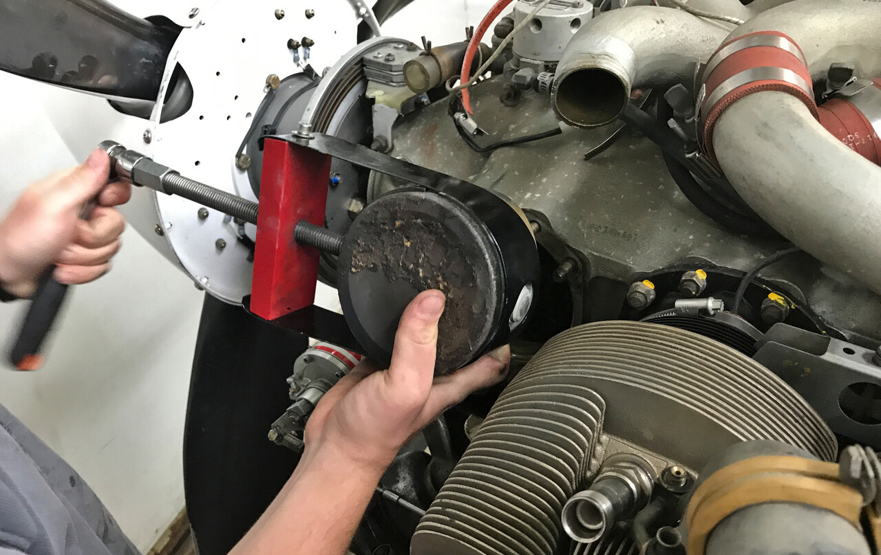
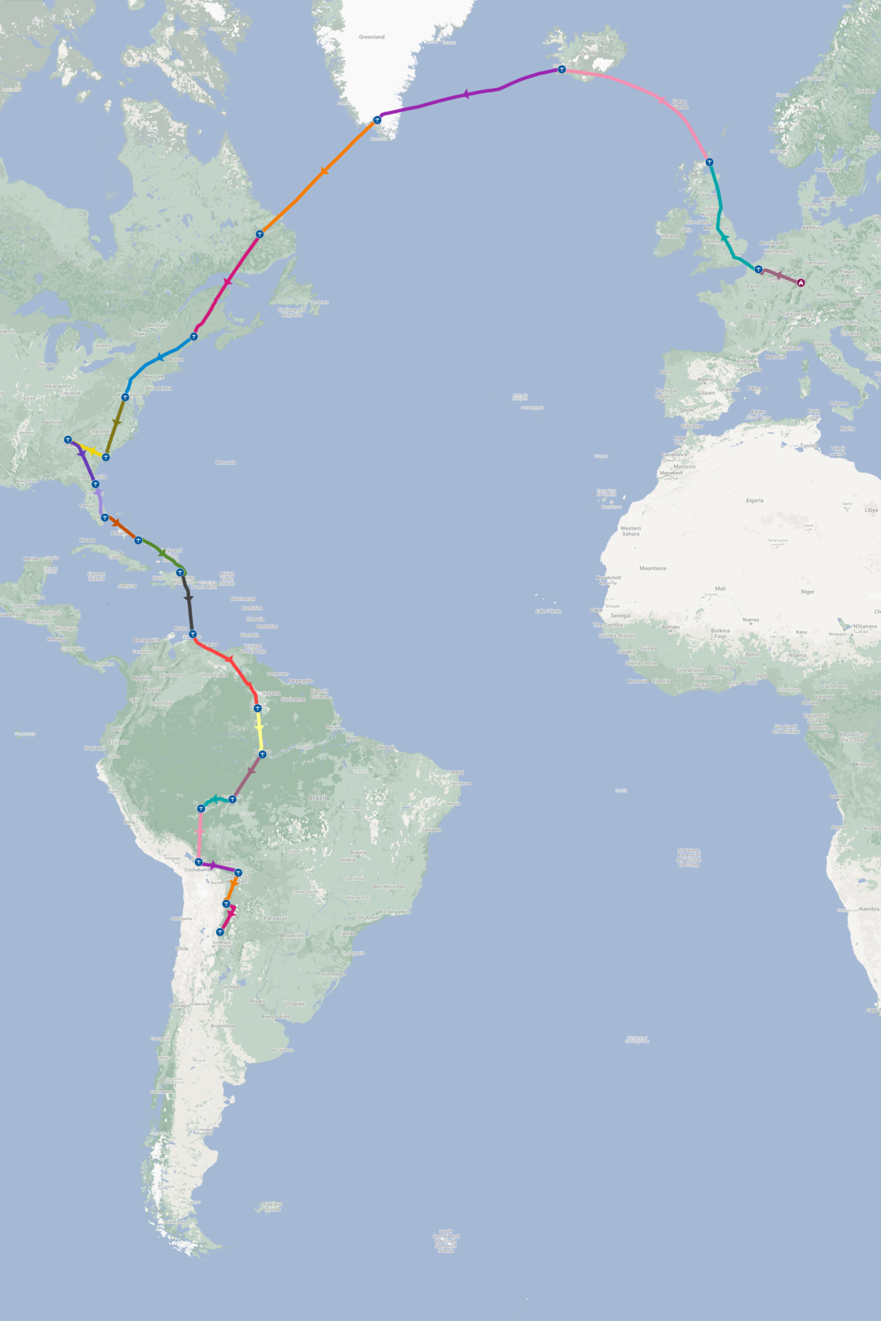
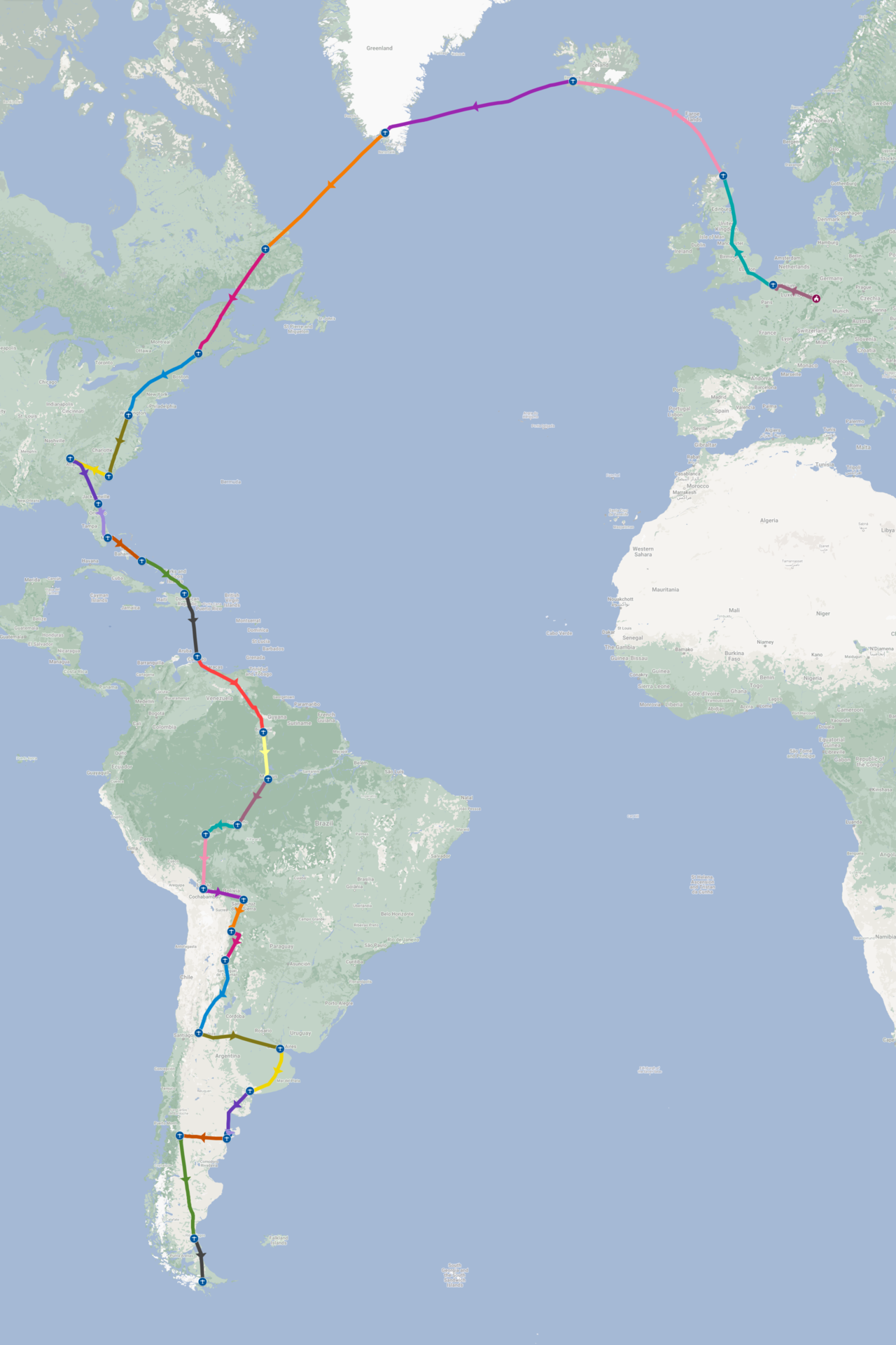
We didn’t feel like crossing the Atlantic with an all new cylinder, so we flew around southern Germany for ten hours and then changed the oil again. By mid August everything was done and we were ready to go. We left Mannheim on August 26th 2017 and landed there again March 16th 2018.
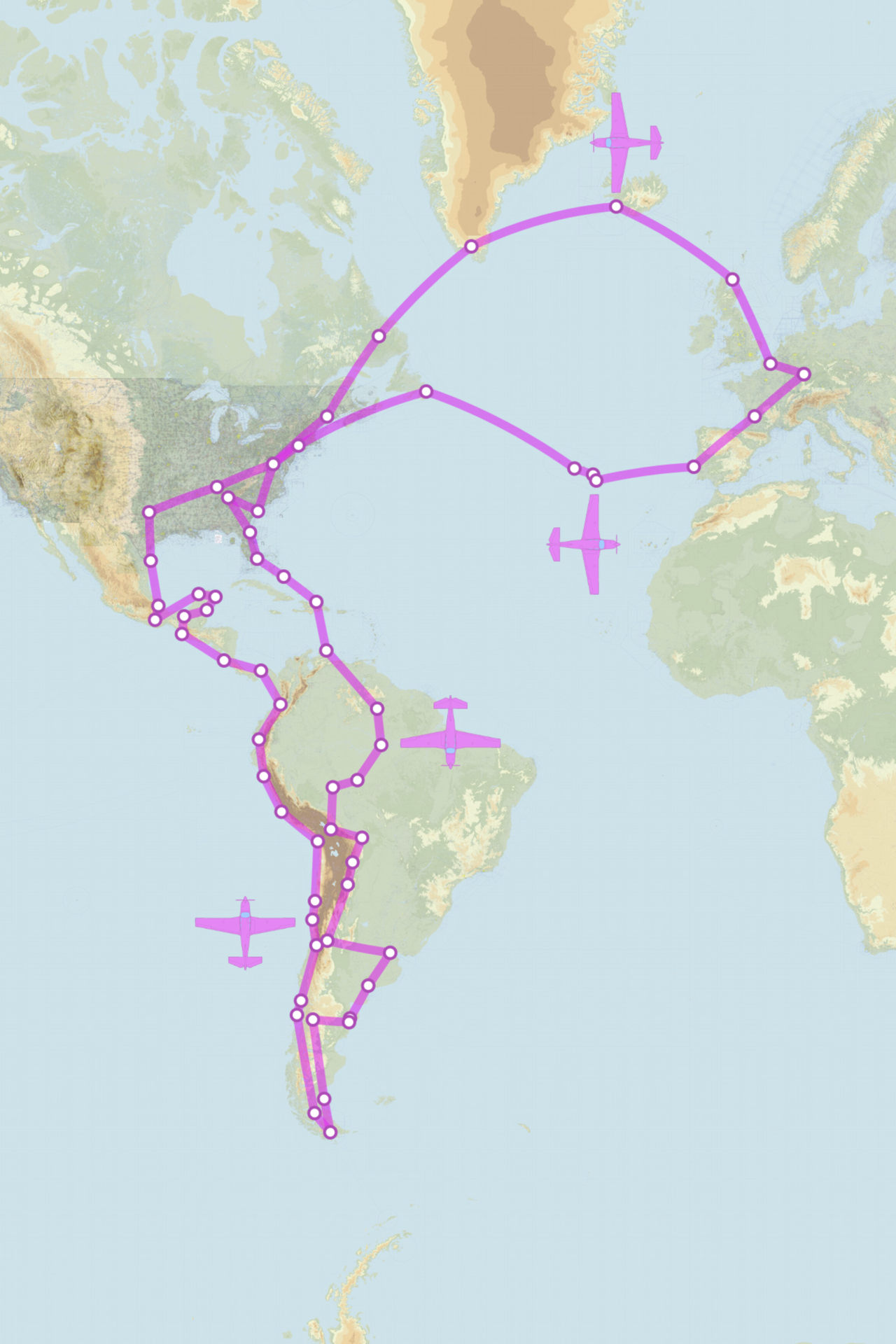
To South America
The North Atlantic, the US and the Bahamas actually were not vacation destinations for us, as we had spent a few months there three years ago. Our intention was to get it done, vacation would start further south.
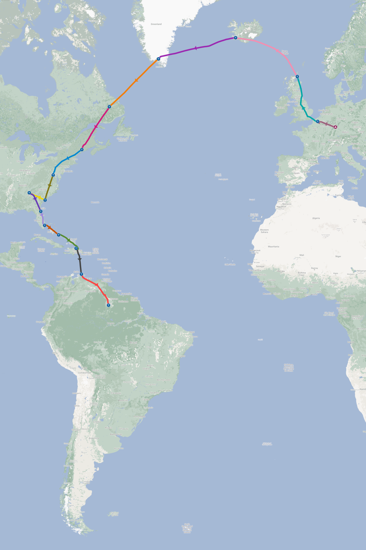
We took off end of August for a short hop to Lille (LFQQ) and on to Wick in Scotland (EGPC) the next day.
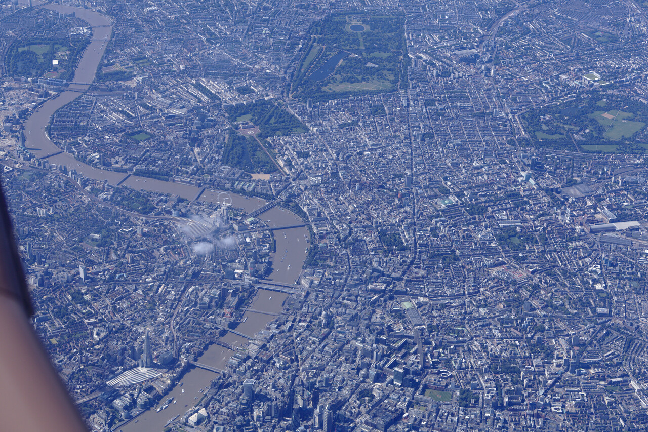
We spent a day in Wick, waiting for better weather in Iceland and then it was time for the first challenge of the journey.
The North Atlantic
Well, our Atlantic crossing turned out to be not that much of a challenge this time, everything went quite smoothly. We took off in Wick on a nice but windy morning.

The flight to Reykjavik (BIRK) took a little over four hours and was completely uneventful.
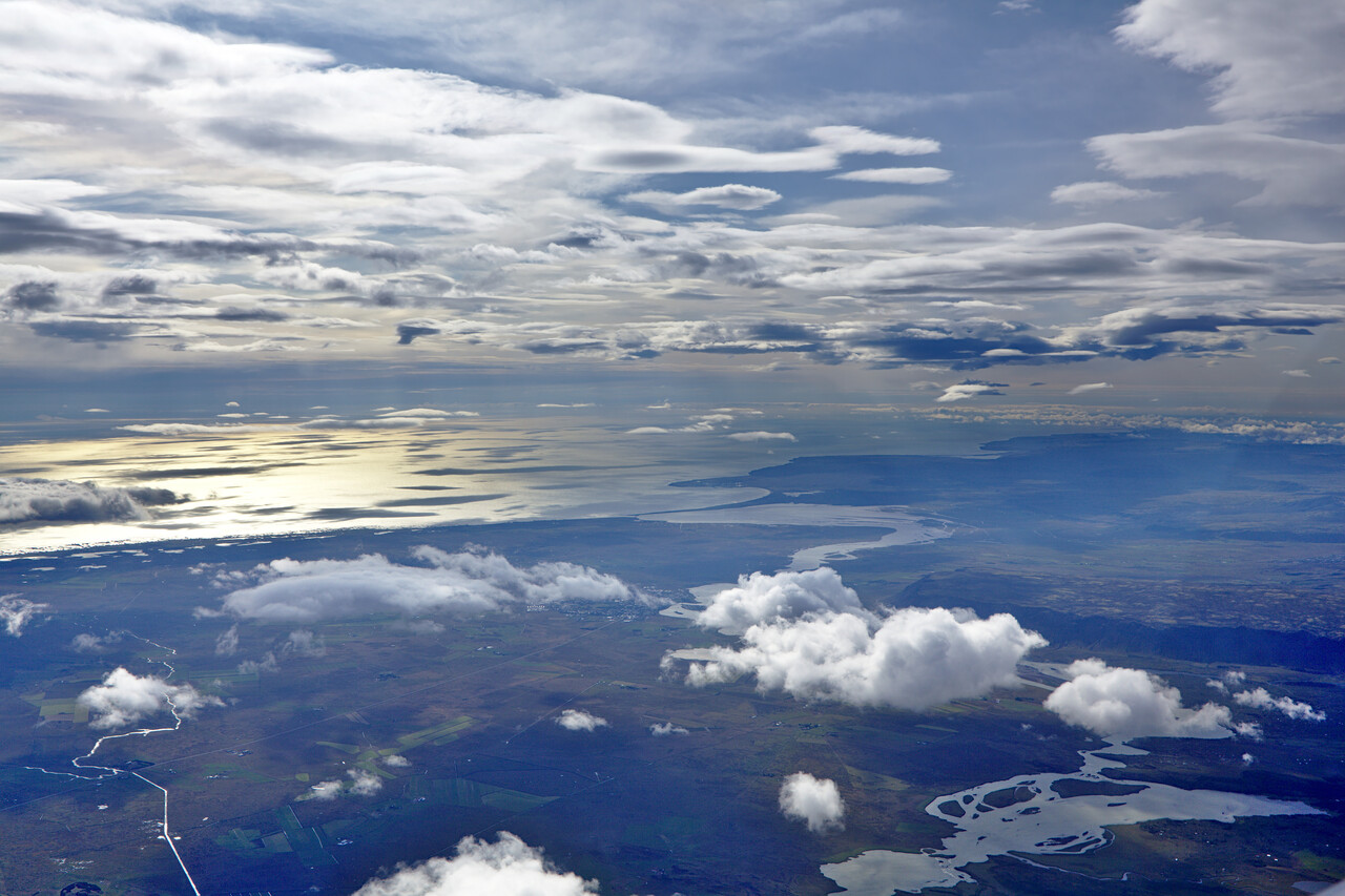
We spent a night at Hotel Loftleidir where you can spend a fortune for a beer at the bar. The next day was long: Reykjavik (BIRK) to Narsarsuaq (BGBW) and on to Goose Bay (CYYR).
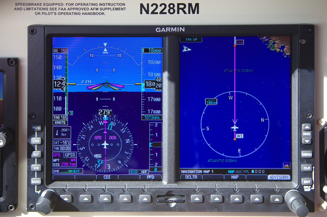
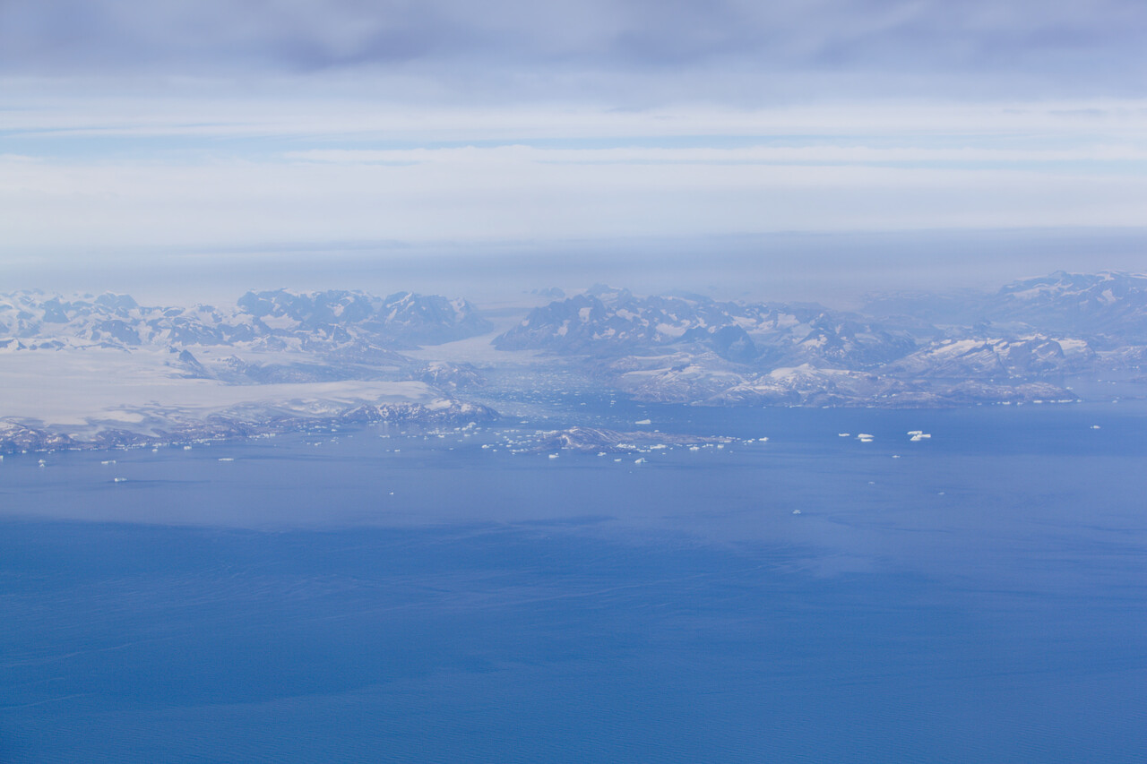
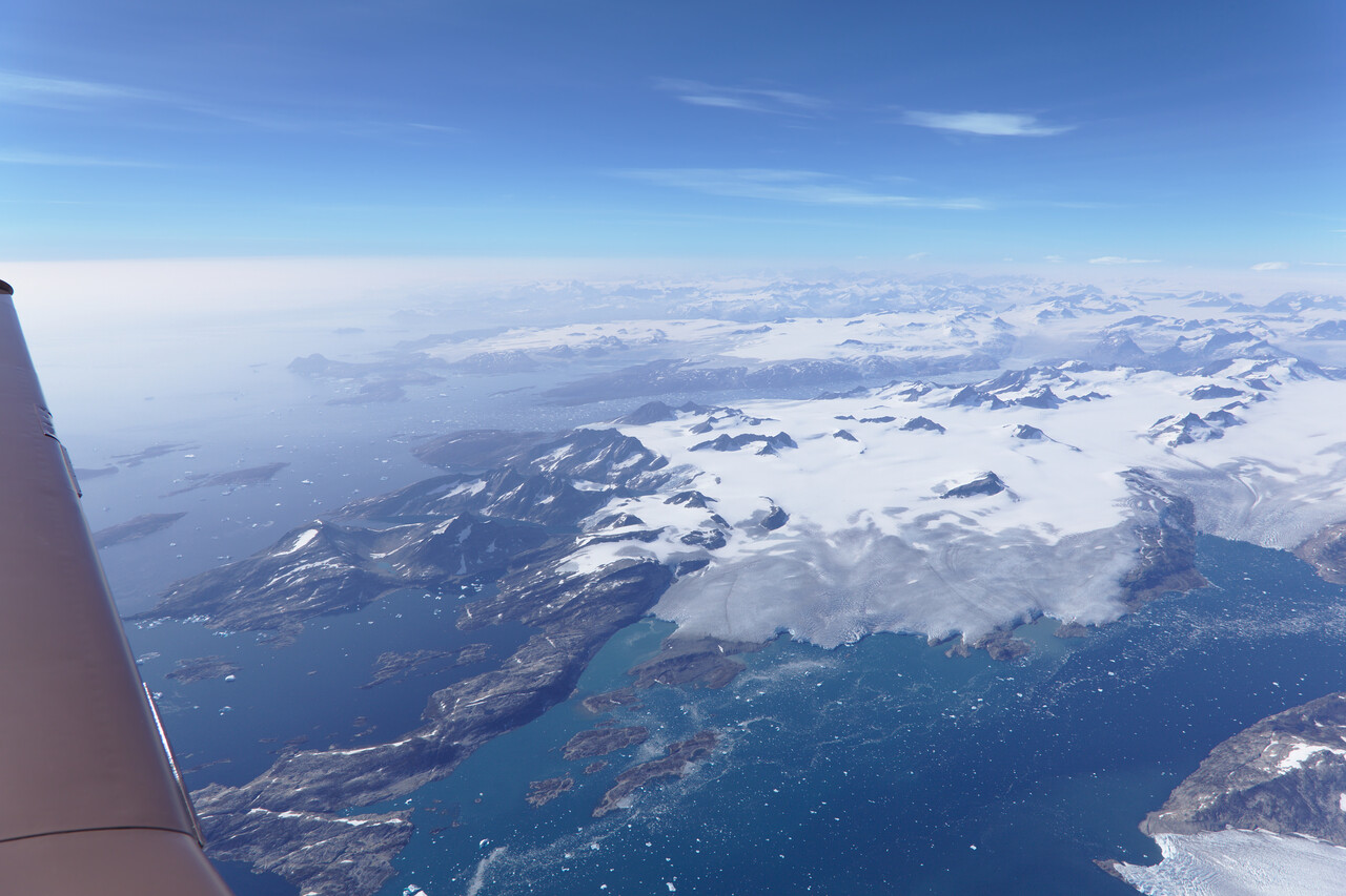
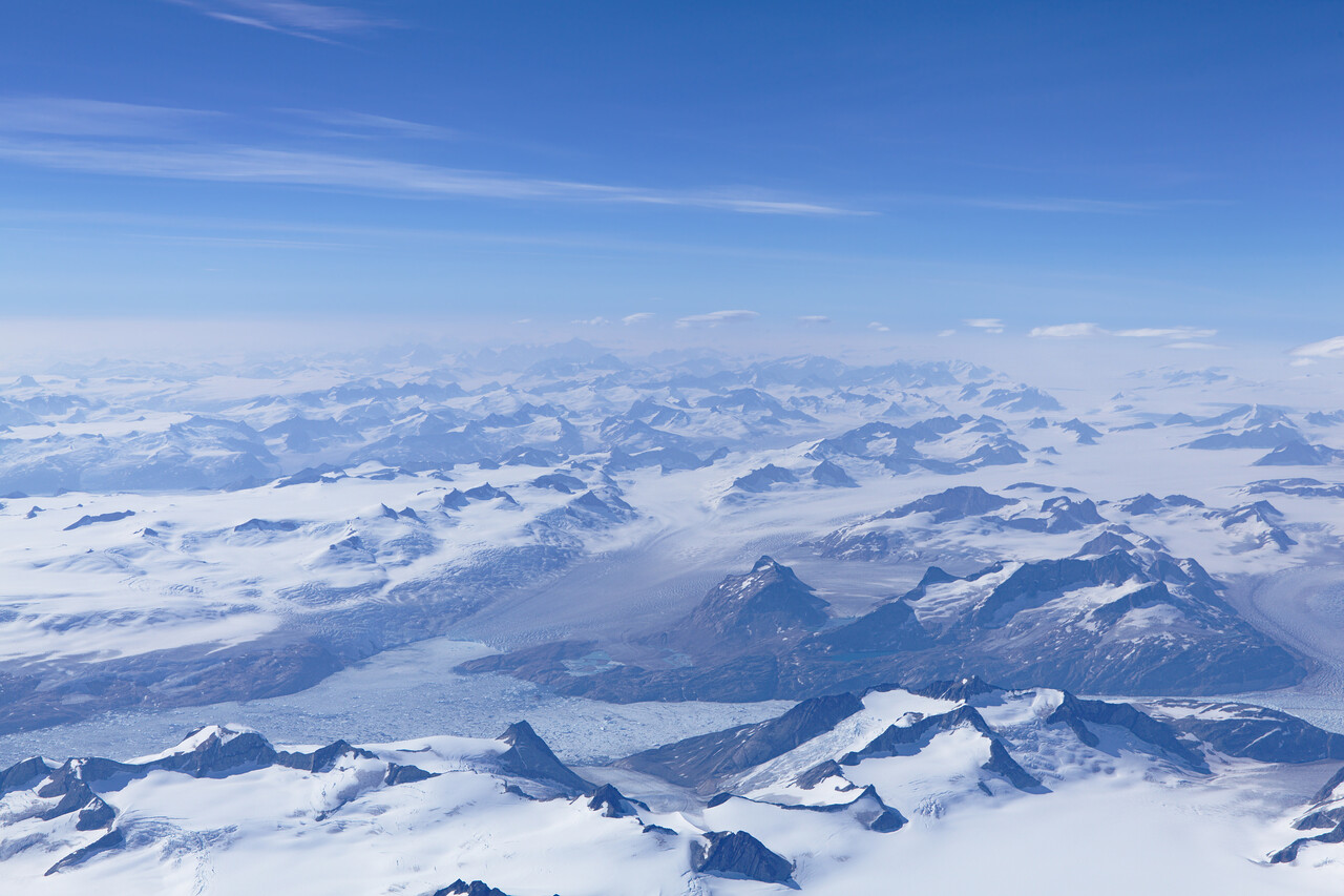
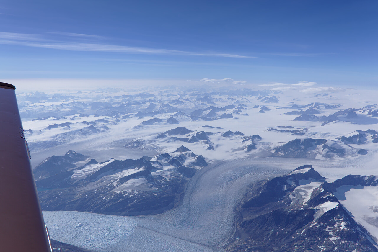
We flew one of the new GPS approaches into BGBW. Almost all in VMC, weather was better than it appears.
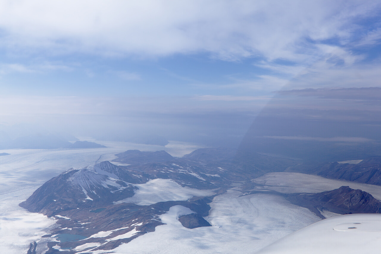
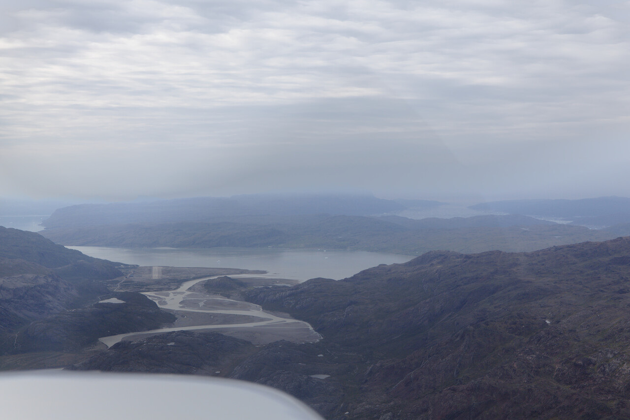
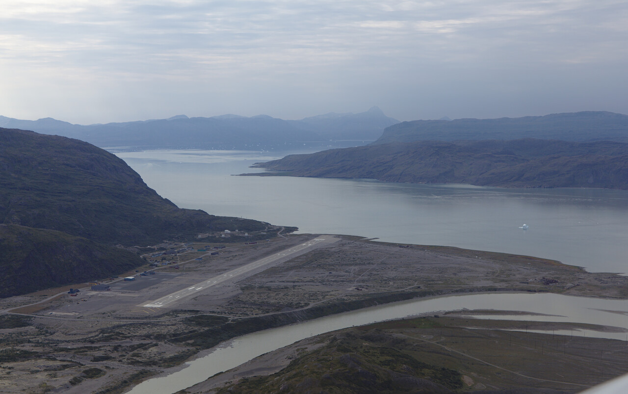
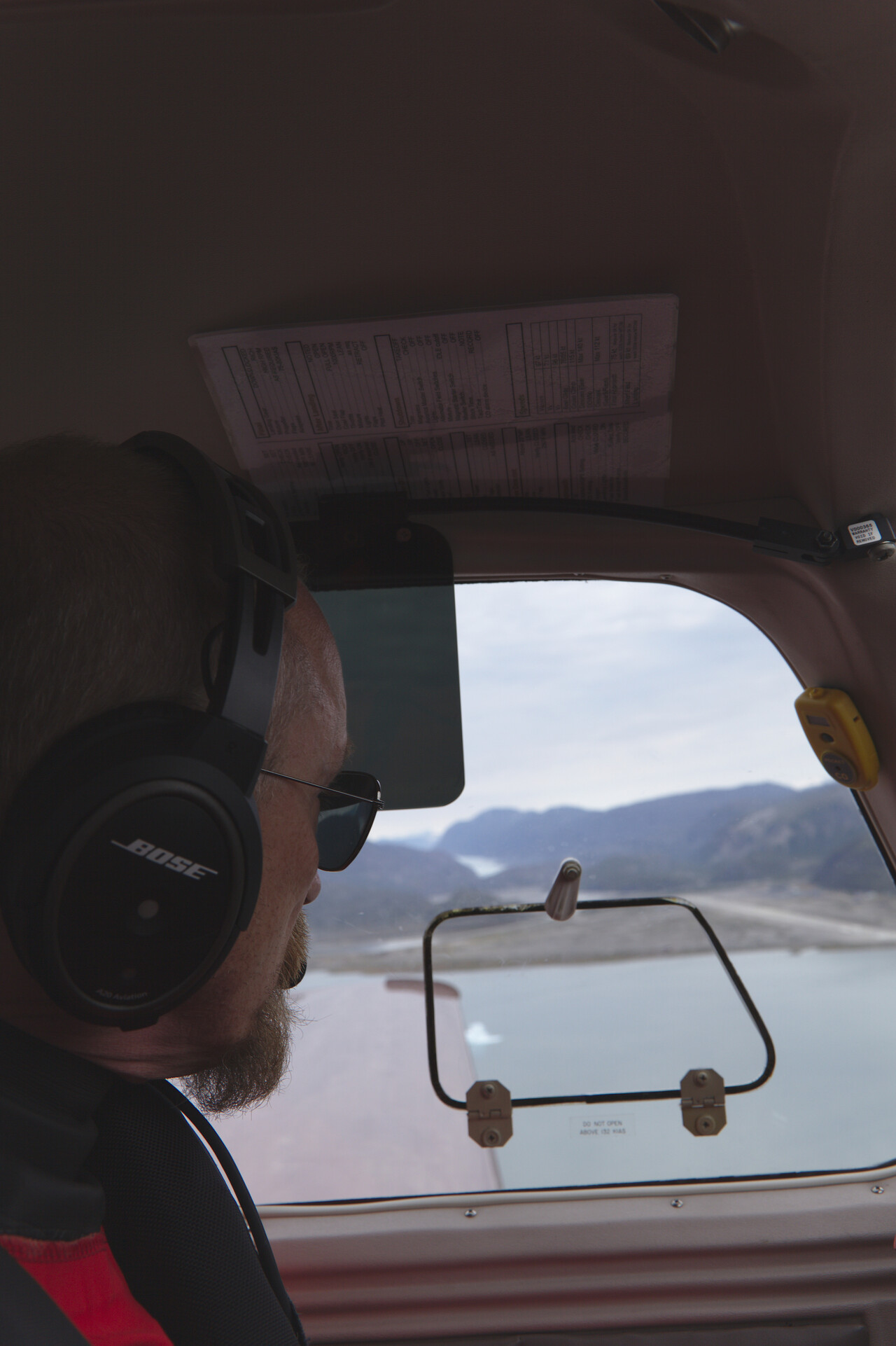
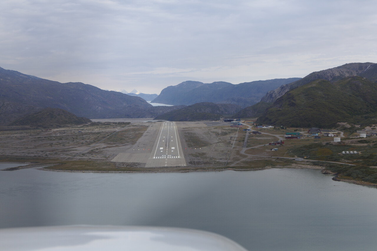
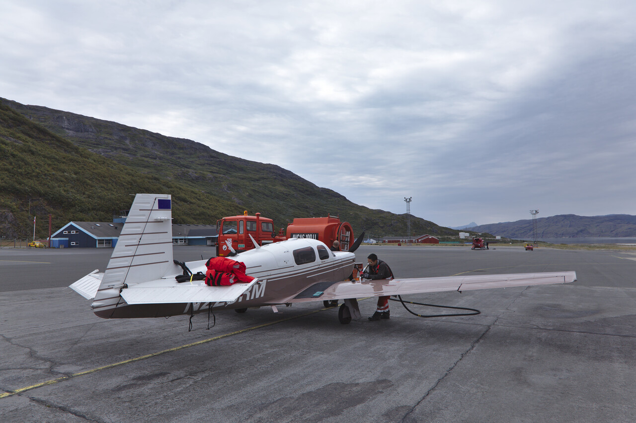
Turnaround was quick and friendly. However, the second leg of the day felt long, we were mostly on top of a cloud deck at FL 240 with headwind again.
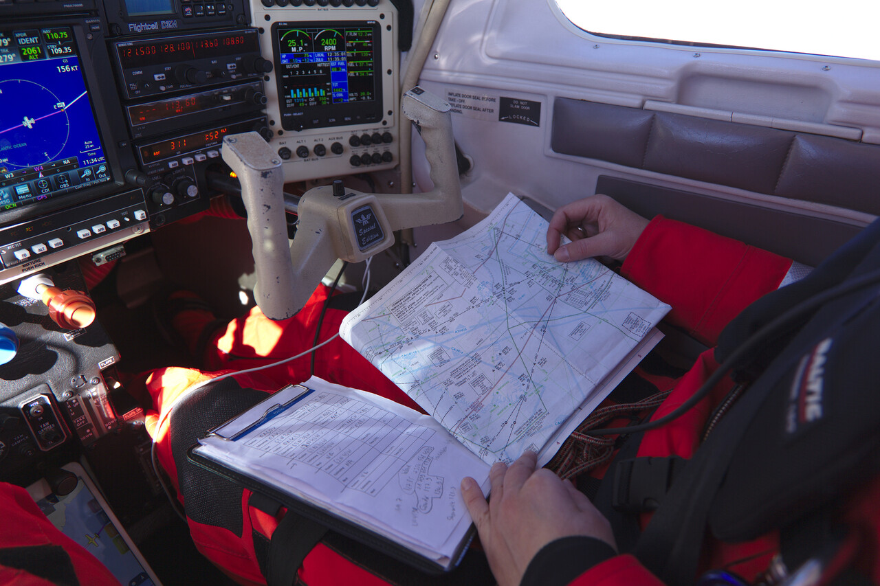
Eventually we reached Labrador and landed at Goose Bay.
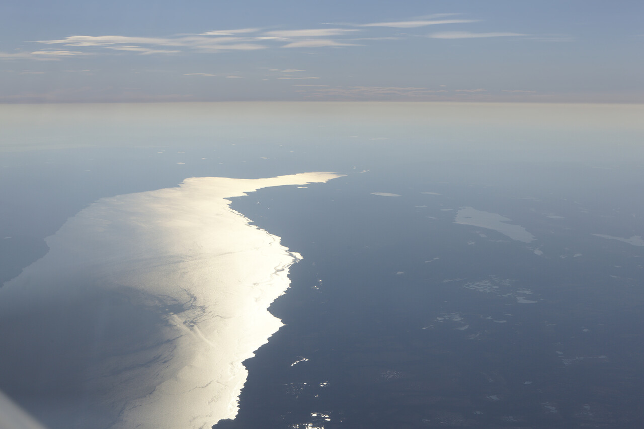
Canada and USA
From Goose Bay we flew down to Bangor (KBGR) and on to Leesburg (KJYO) to visit friends in the Washington area.
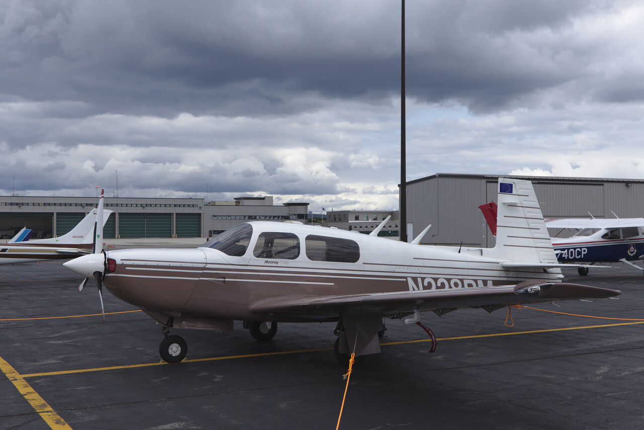
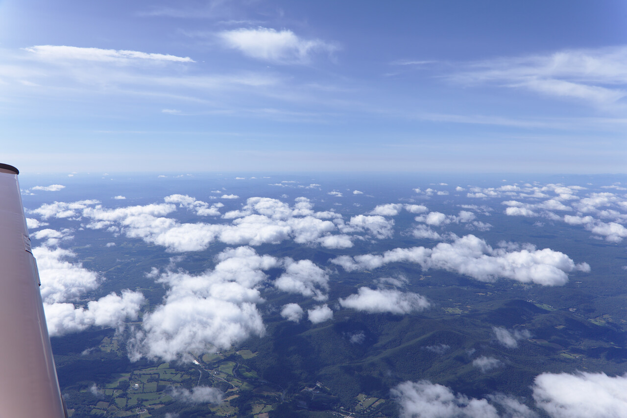
Our next stop was Charleston (KCHS), first, simply to break the journey and second because it was one of the few tourist destinations on the East coast we hadn’t visited before. So far, everything went according to our plans, but now things changed.
Hurricanes
We had tried to plan the journey such that we would not hit the bad season in any region we wanted to visit. However, this is not entirely possible, of course, there are compromises to be made. The biggest problem was the southern USA and the Caribbean in September – it’s Hurricane season! We knew that, but we really got hit hard. Three major Hurricanes, Irma, José and Maria crossed our way.
The first one, Irma, chose to take exactly our route, just in the other direction.
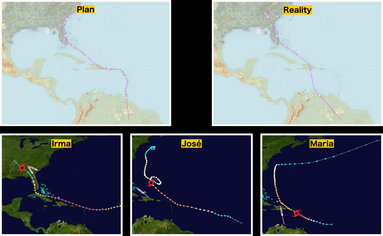
It was clear that we would have to wait for the storm to pass and that we wouldn’t do that in Charleston. So we flew inland, to Dalton (KDNN), where we took the chance to change the oil and peek into the cylinders. Still we had to wait for five days, till Irma passed us. She brought 36 hours of rain, but not that much wind where we were.
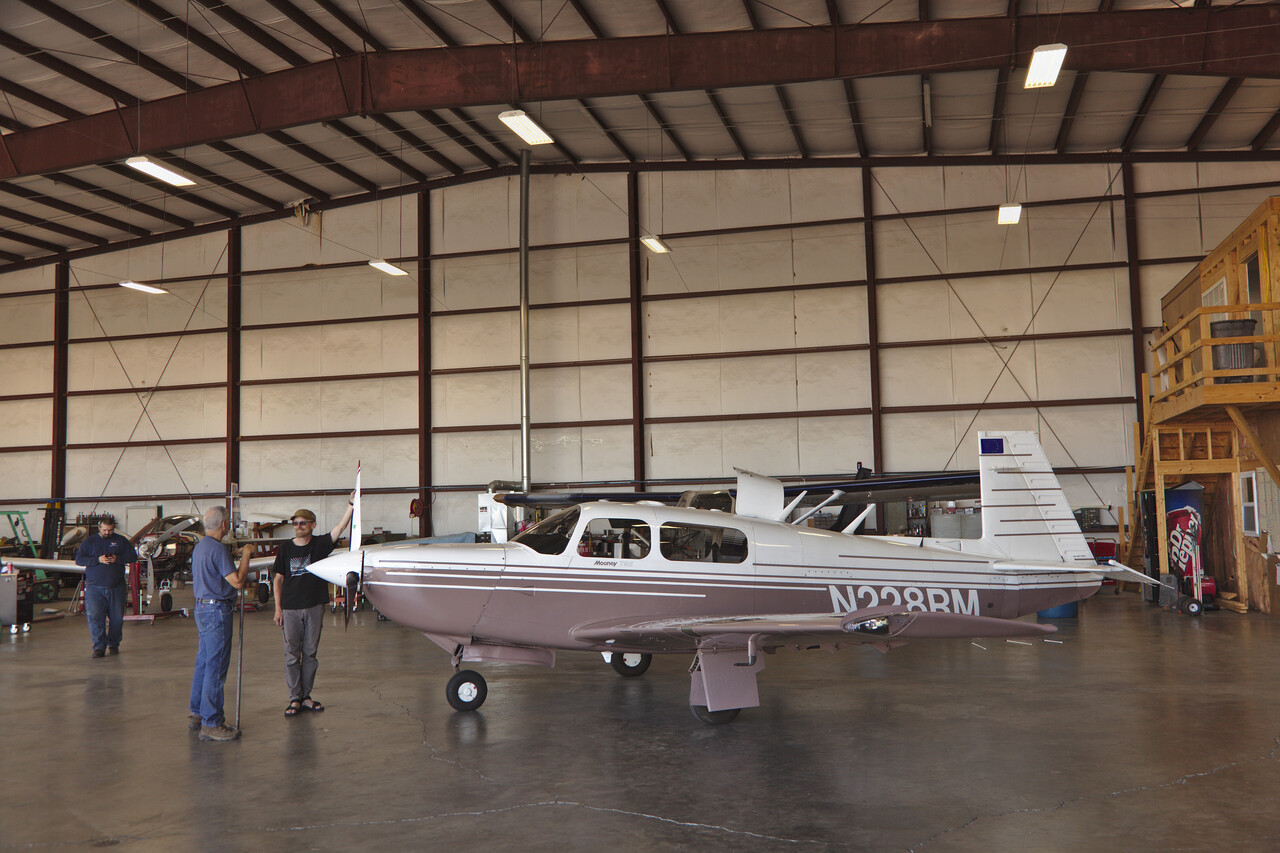
We didn’t dare to fly all the way down to Ft. Lauderdale the first day, so we just went as far as St. Augustine (KSGJ), to check what Irma had done. A day later we went on to Ft. Lauderdale (KFXE).
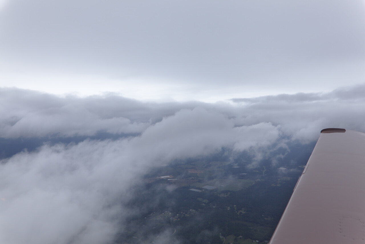
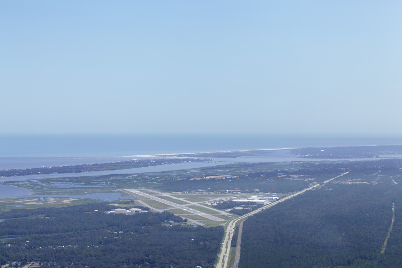
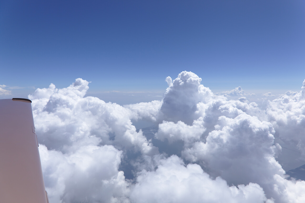
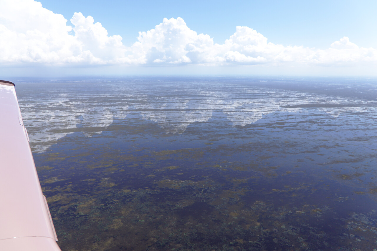
There were still huge parts of Ft. Lauderdale without power when we were there, but everybody we met appeared to be in happy mood to have narrowly escaped the disaster which hit the Keys and the lesser Antilles.
It was clear that we could not fly to Sint Maarten as planned, however, we took off for Exuma (MYEF) in the Bahamas after a night in Ft. Lauderdale.
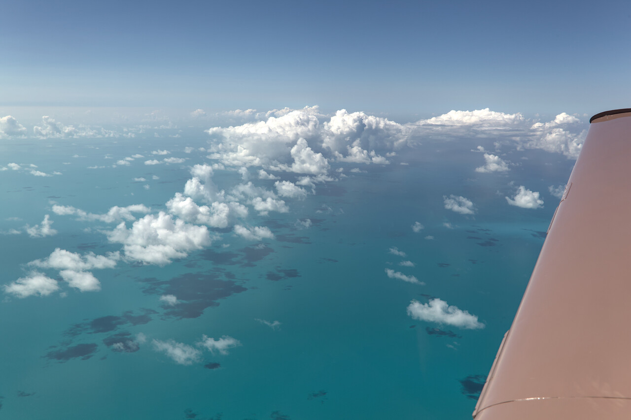
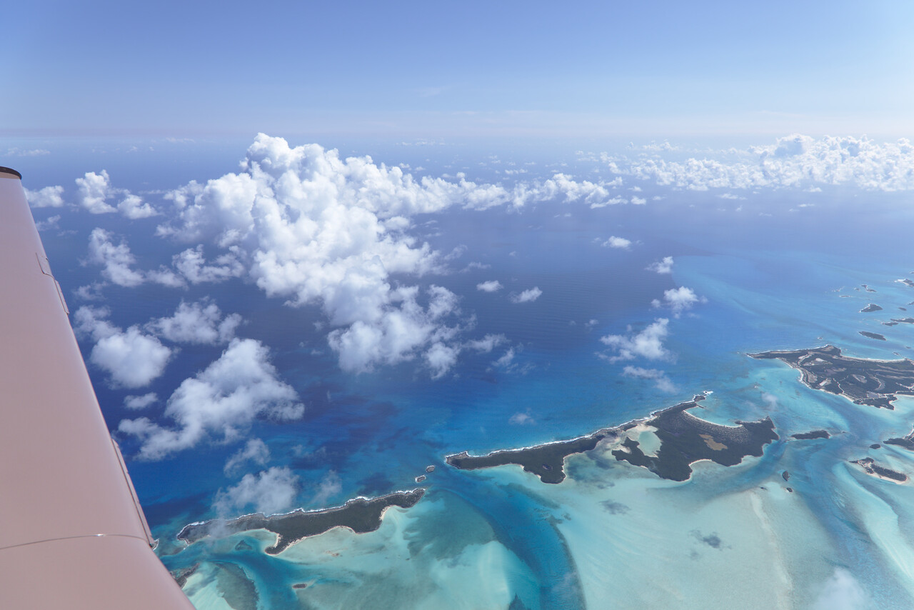
José threatened to send showers and storms over, so we cut short our stay and tried to reach Santo Domingo the next day.
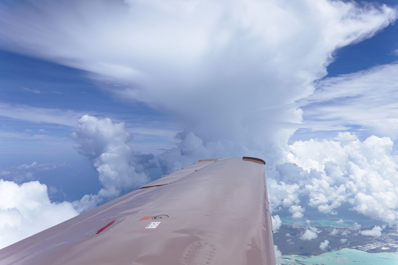
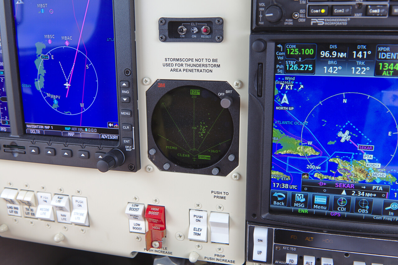
Crossing Hispaniola proved to be impossible due to massive storms over the Island. So we diverted to Puerto Plata (MDPP).
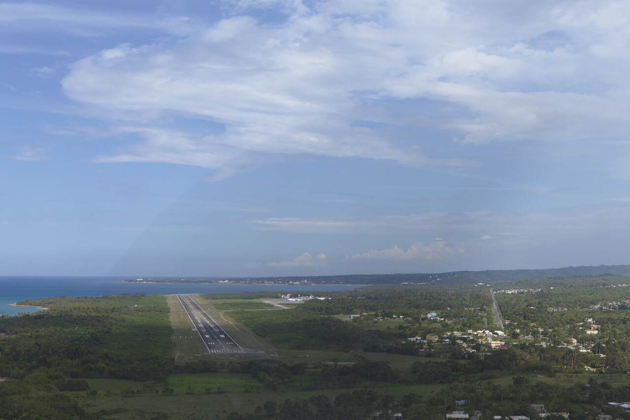
It didn’t get any less strenuous though, as Maria had decided to first devastate Martinique and then turn towards the Dominican Republic. So the lesser Antilles were completely off the table now. Moreover, we had to get out of the way quickly. Studying the charts and the enroute manual we opted for Curaçao (TNCC).
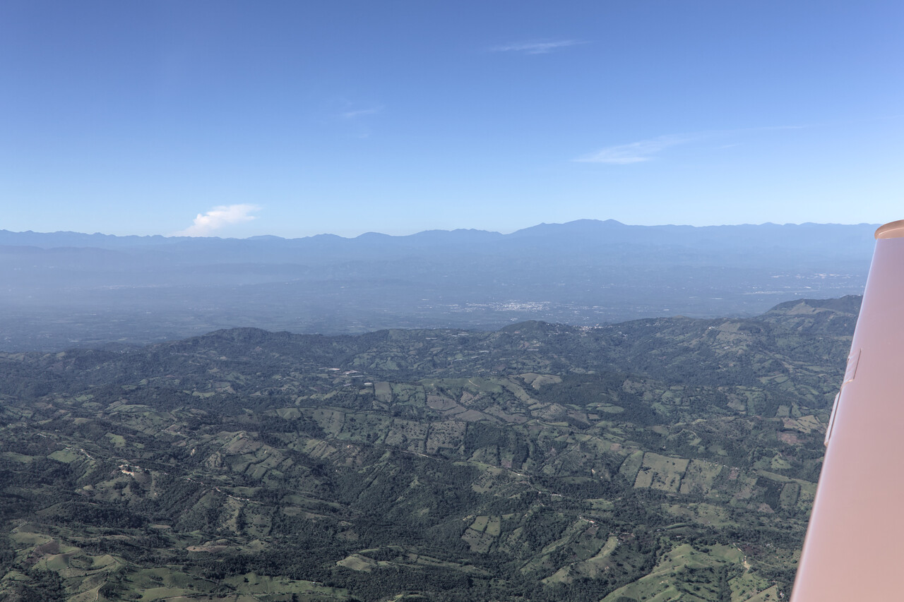
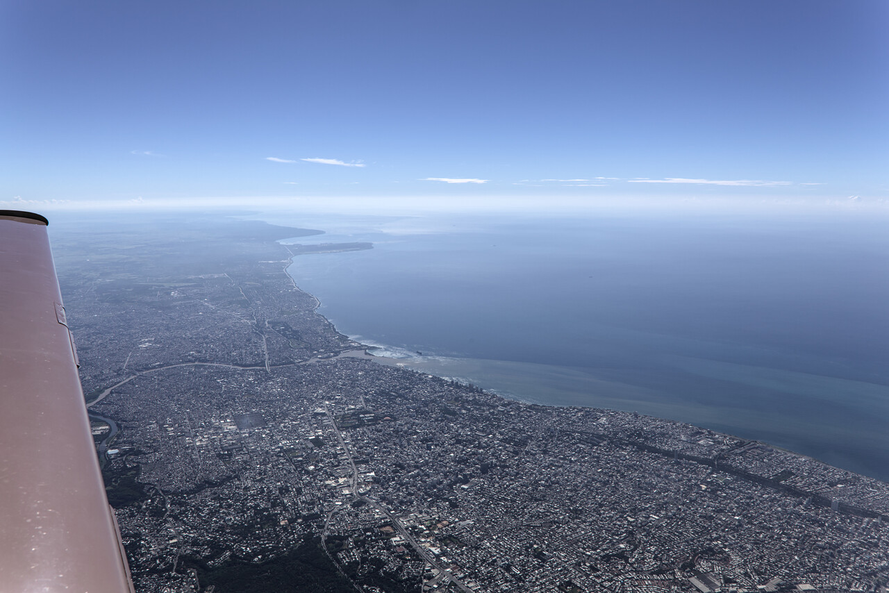
Caribbean
Flying in the Caribbean was straight forward, here is a little summary.
- Bahamas: Very easy, almost like the US, only twice as expensive (outside flying too). English is the native language and except for Nassau approach, Miami center controls the FIR.
- Dominican Republic: Very relaxed. Spanish helps, but I think one can get along with English. Fees and fuel very reasonable. ATC speaks very good English.
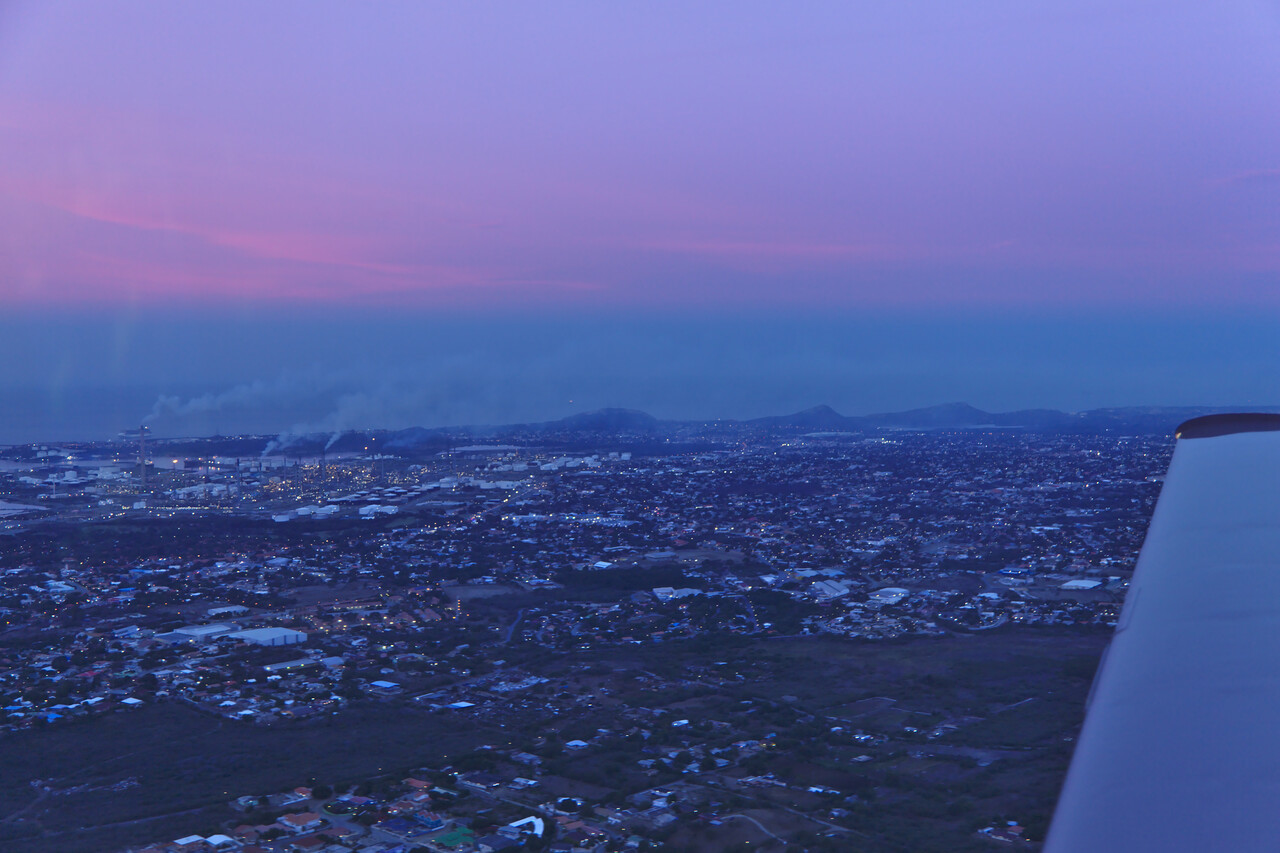
- Curacao: easy, part of the Netherlands. The only place so far, where contracting handling was mandatory. Airport fees and
handling summed up to a hefty 400US! Fuel however, was less than a Euro per liter (we took more than 300l :-)
Finally, to the South American continent
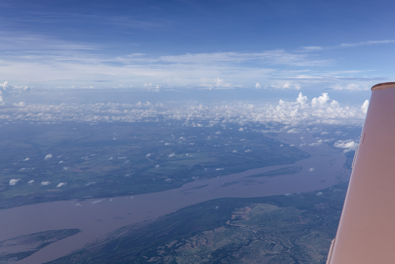
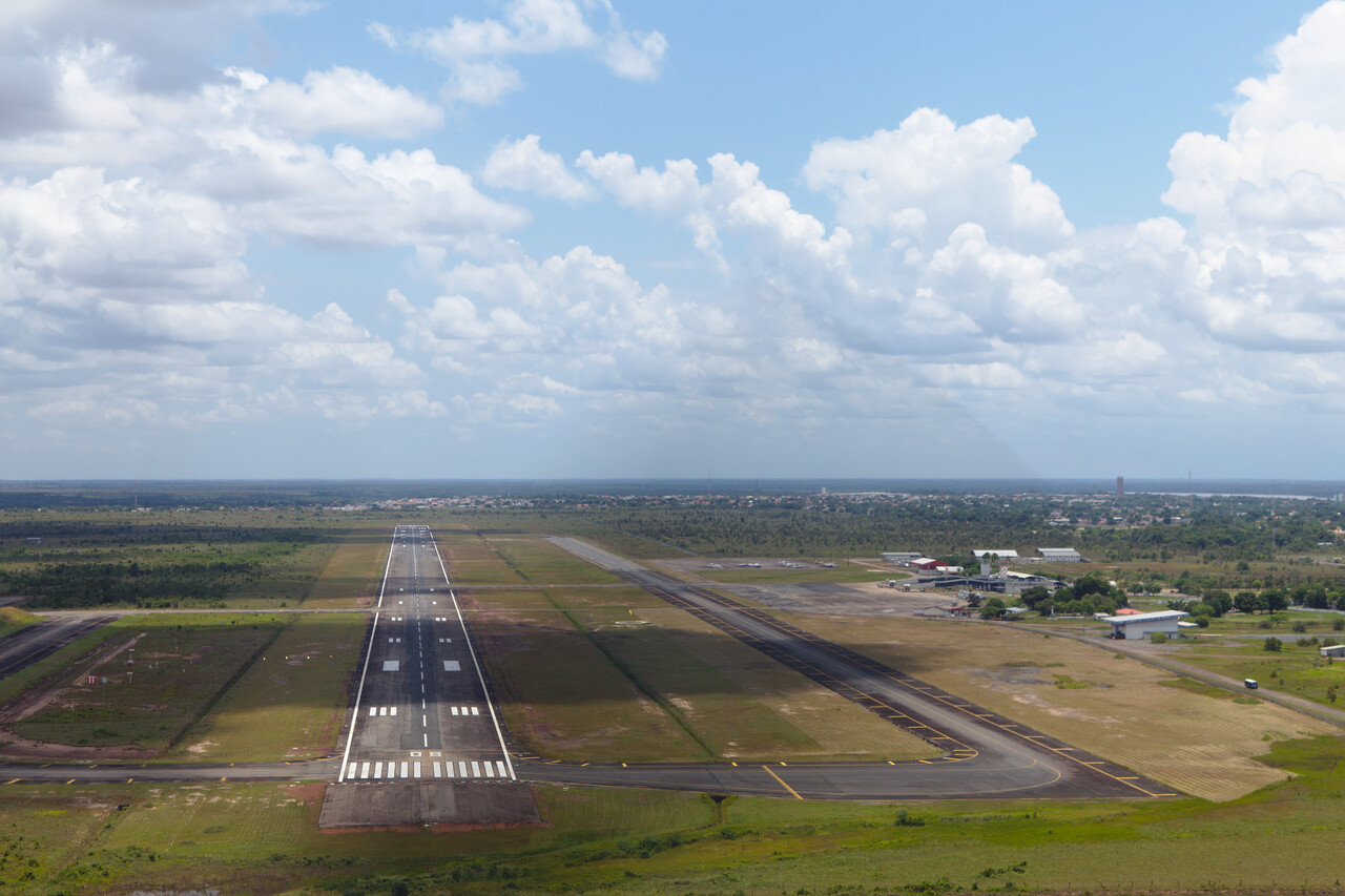
Curaçao is south of the Hurricane alley, so we could relax for two days. But unless you dive, there is not much to do there, so we tried to get back to our planned route in Boa Vista, Brazil (SBBV). However, to do so, we had to cross Venezuela. It was going to be a long flight of almost five and a half hours and there is high terrain to cross towards the end of the flight.
The biggest excitement however, were the bureaucratic hurdles we had to master. To fly over Venezuela you have to register with their CAA via an online process called SITGA. We had done so months in advance, what took us countless emails. Now we tried to get a permit number. There was no reply to emails and none of the telephone numbers we had from the previous contacts worked. We called the CAA general number and after numerous handovers we really got hold of somebody competent. But he just asked what number, file a flight plan and go! We asked if we could have this in writing and he really did send us an email!
Brazil also has its processes to follow. Again there is an online form to fill out to receive what is called the AVANAC number. Apparently this is required to be allowed to fly a foreign aircraft into Brazil. Once you get there, customs transform this to TECAT, what is a temporary permission. This is documented in the AIP. Since January 2017 there is another process to comply with, called e-DBV. It has also to do with customs but I really don’t know what it is good for. It is not described in the AIP and we didn’t have it. Apparently no other aircraft entered Brazil in Boa Vista in the last 15 years and there is not much experience on this field. It was a three and a half hours nightmare, but we managed to get it done!
Brazil and Bolivia
Brazil and Bolivia proved to be difficult, each in its particular way. While we had to fight our lack of Portuguese language proficiency in Brazil, our main enemy in Bolivia was the altitude.
Brazil
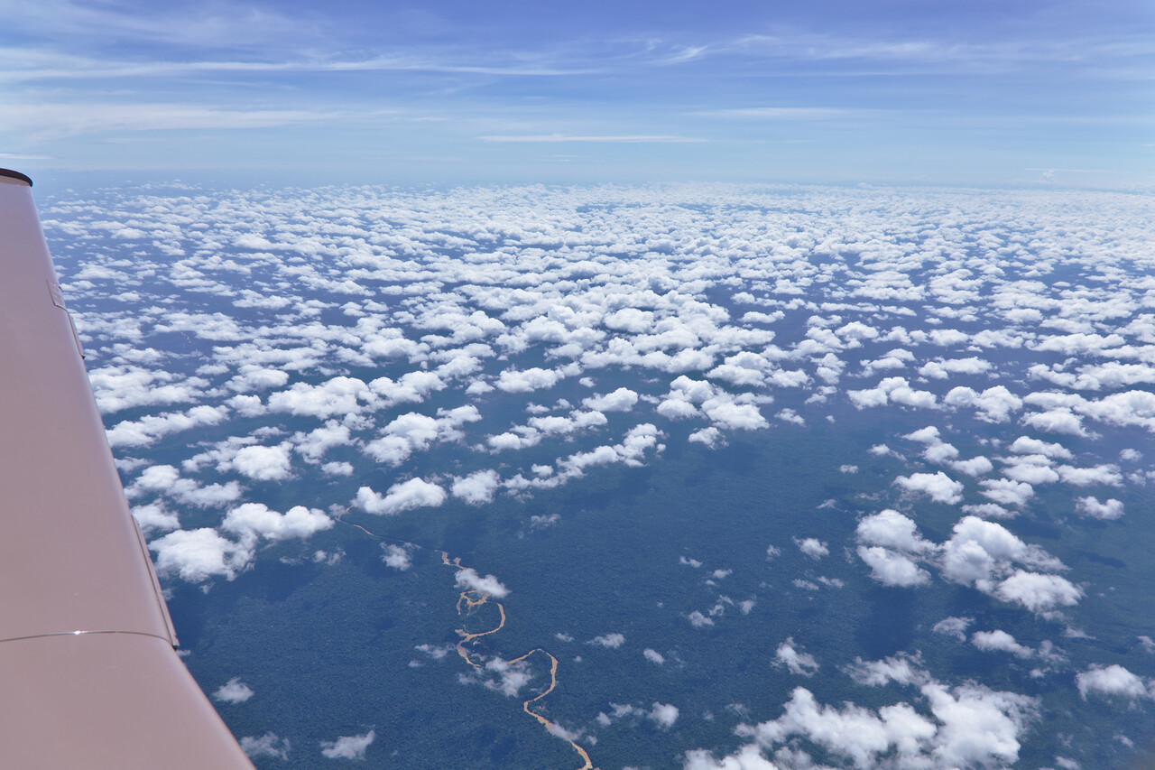
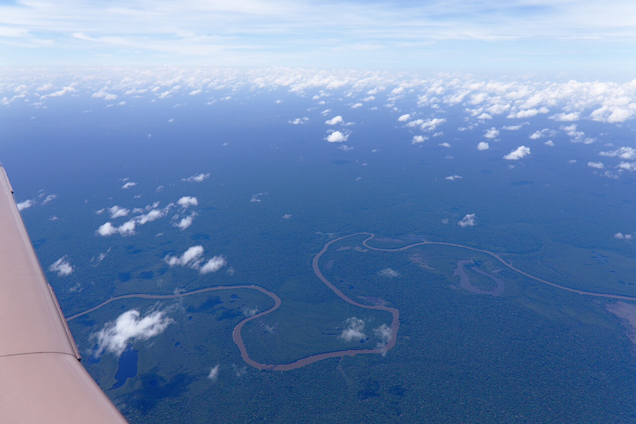
After celebrating with a few Caipirinhas and a day of rest, the first real destination in Brazil was Manaus (SBEG). On the afternoon of our rest day, we tried to get to our plane, what was surprisingly easy. We refueled, checked the oil and so on. The next morning was not as easy, as we simply didn’t know about the local procedures. You first have to pay the fees, then you show up at the ARO with the receipt and then you file a flight plan. The offices are located at weird places, mostly air side and without speaking Portuguese, this was some hard work. A few people spoke Spanish what helped a lot. The flight to Manaus took about two and a half hours, almost all the time over dense Amazon jungle, and we crossed the equator on the way.
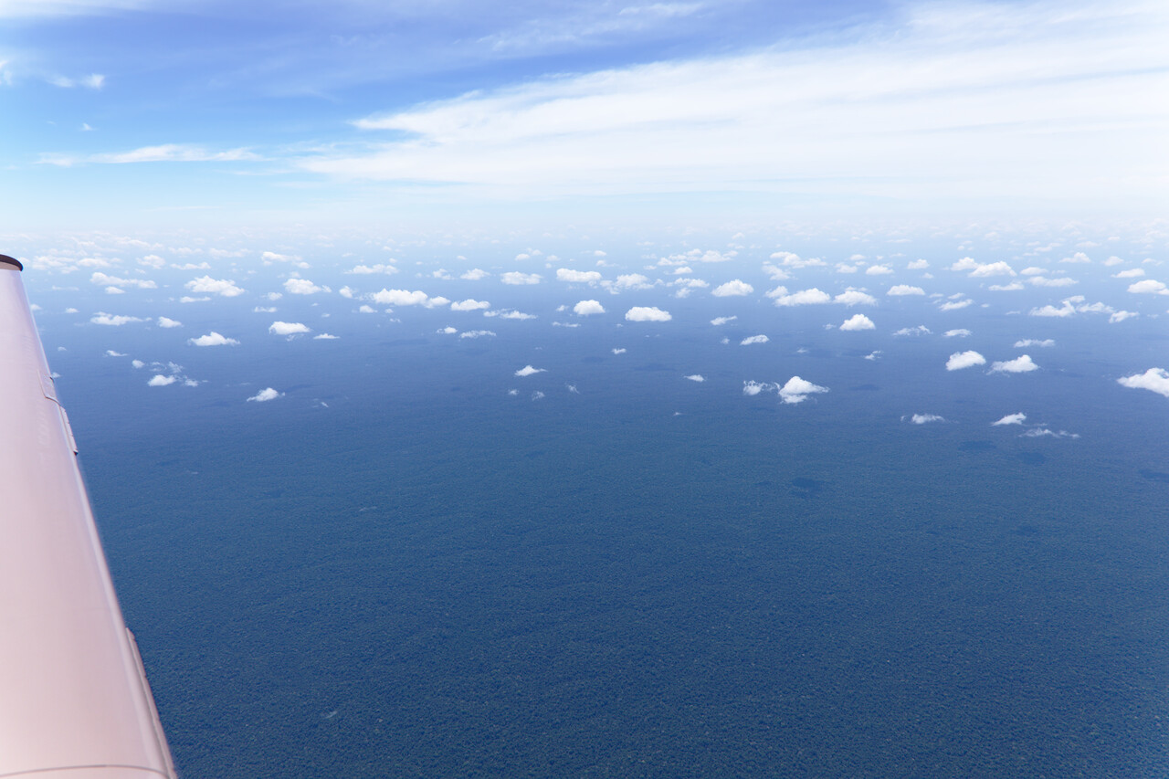
There is no proper radar coverage away from the terminals in Brazil and VHF can be difficult. This was not much of a problem though, as we didn’t really have a common language with the controllers ;-)
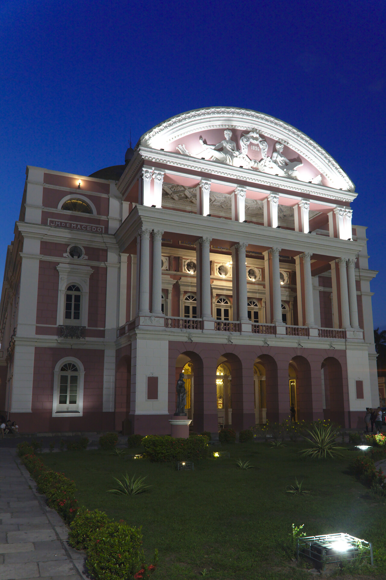
Manaus had been on my bucket list since I had watched Fitzcarraldo back in the eighties but besides the opera house there is not much noteworthy to see in the city. Well, except for some quite good restaurants, maybe.
Trying to get to our plane the next day was a nightmare that took hours. There was simply no way to let them know what our intention was. For reasons completely unknown to us, customs (Receita Federal) insisted to accompany us but went away when they finally learned that we didn’t want to fly.
Avgas
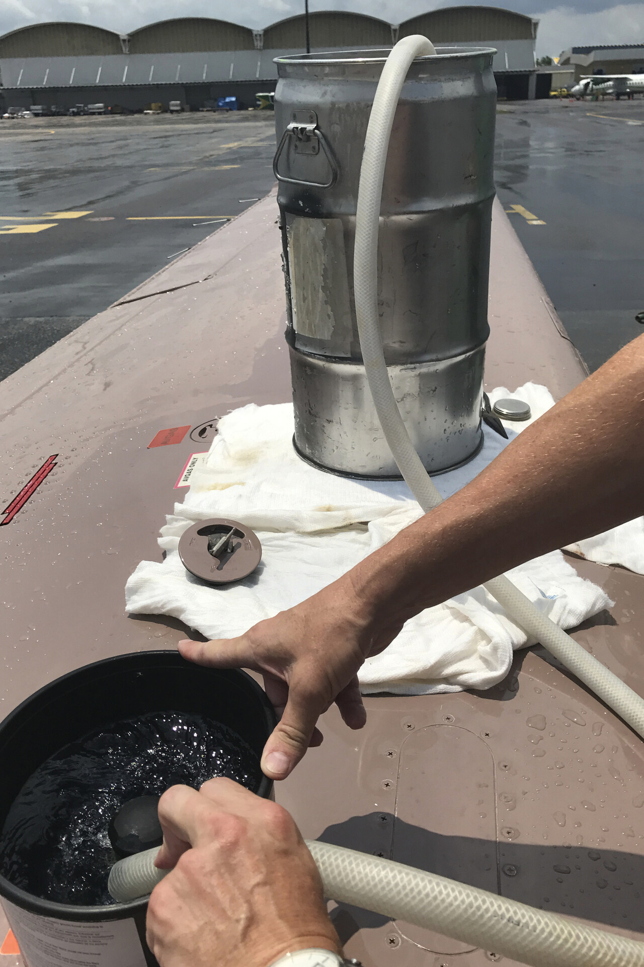
Trouble continued when we called the fuel truck, as there was no Avgas. The AIP says there is and there was no NOTAM so we thought. We always call ahead to make sure we can get fuel, but in this particular case we didn’t. We found out that there actually was a NOTAM, but RocketRoute didn’t show it. We were in contact with the market development manager for South America of RocketRoute beforehand and we asked for help with him. He’s Brazilian and lives in London and really went out of his way to help us in this situation. There is small aerodrome in Manaus (not even in the AIP), and there was Avgas. We thought about flying there, but it turned out that a guy working for a maintenance company at the airport could help us. We had to buy the fuel at the small aerodrome, where he met us, filled it in drums, loaded it in his little VW and somehow managed to get it airside at the airport. He charged 75 Euros for the whole service what we found very reasonable.
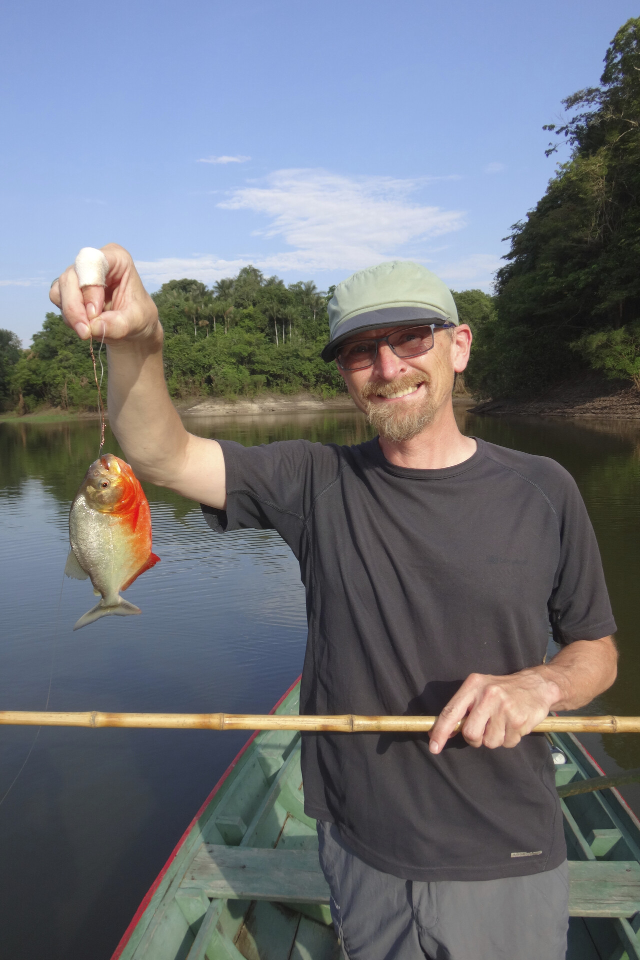
We booked a room in one of the jungle lodges for four days and did the stuff tourists are supposed to do: Fish for Piranhas, swim with dolphins, touch a caiman and hike in the jungle.
Departure from Manaus to Porto Velho (SBPV) was complicated again. Receita Federal had apparently placed a note in some internal IT system that they had to be informed when we would pop up. Unfortunately they didn’t pick up the phone when the guy we wanted to pay the fees with tried to call them. Again we asked for help with our RocketRoute contact, but this time it was above his pay grade as well. It took forever, but at one point the boss of the guy behind the counter decided that it was enough and let us pay without the custom guys. He even helped us personally to get behind security and to the ARO. Suddenly everything was easy and we were good to go.
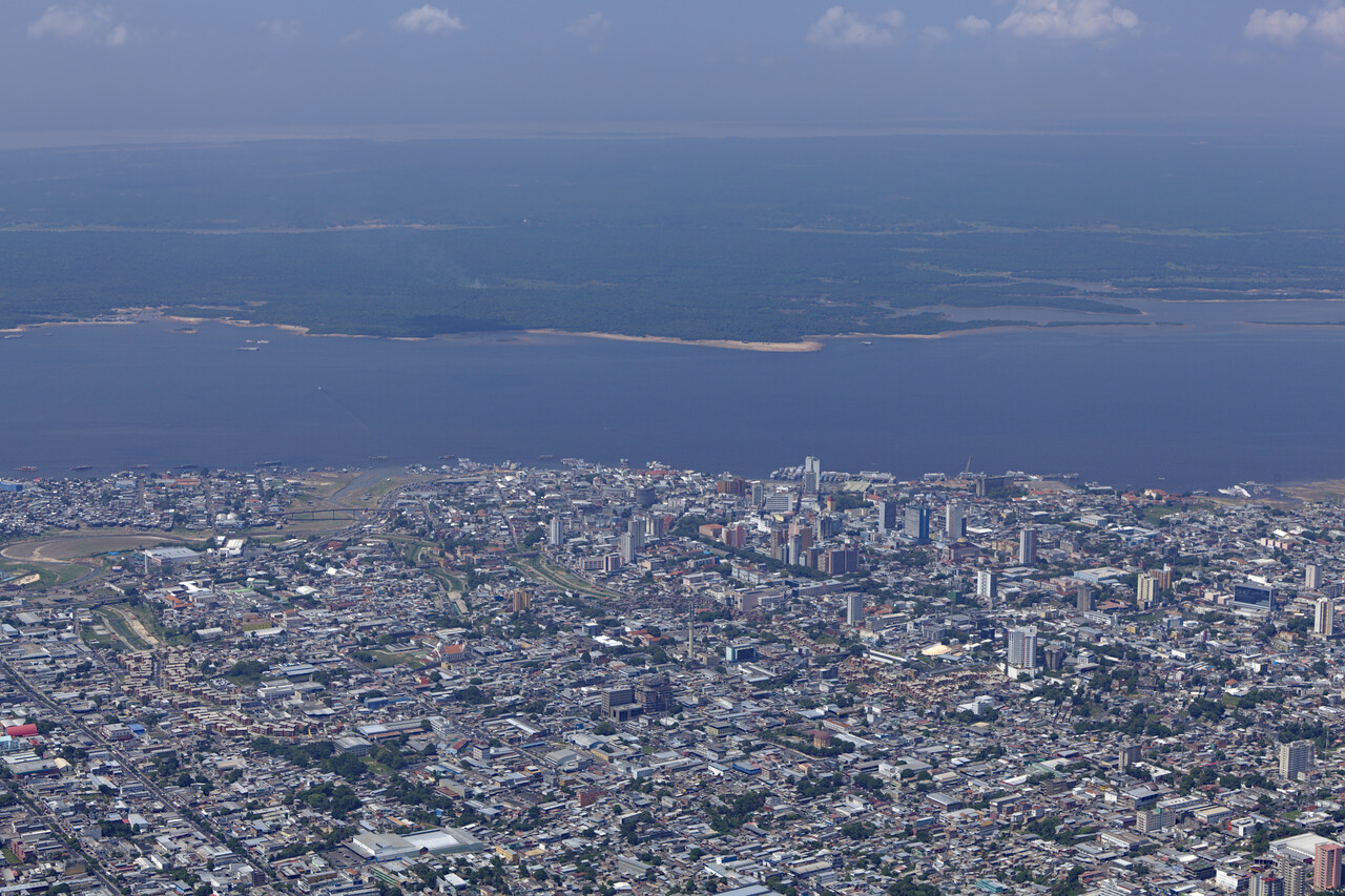
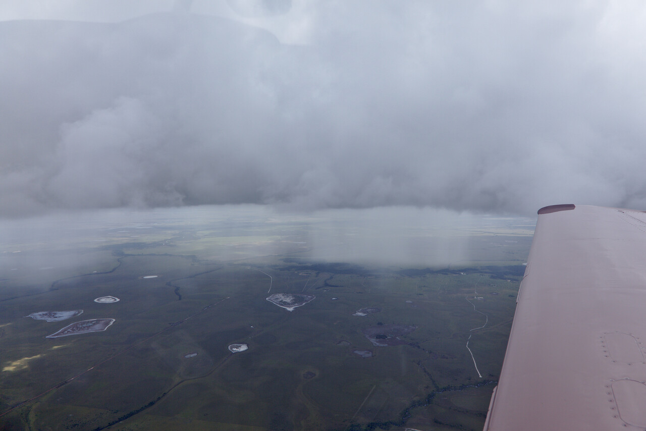
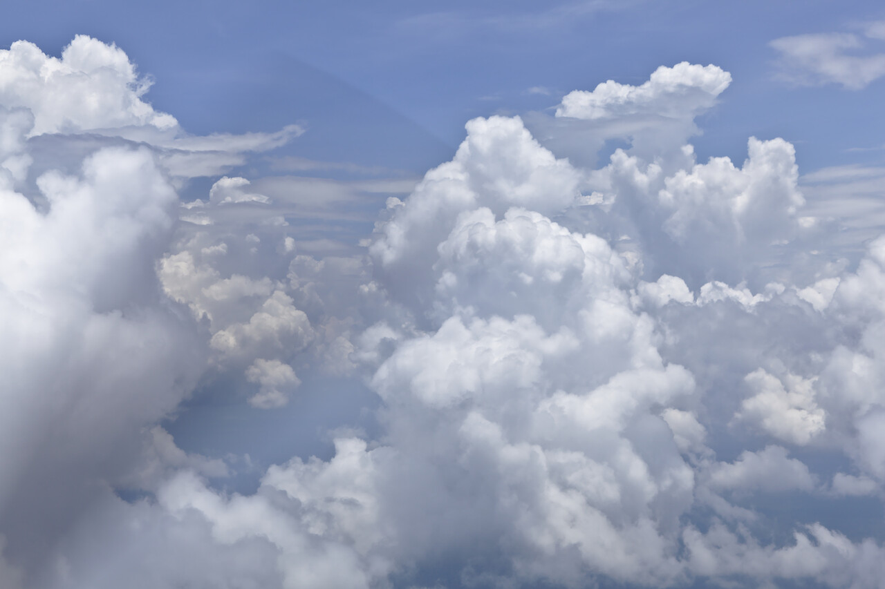
The route we had chosen meant we would cross the ITCZ on our way across the Amazon basin. We don’t have radar and we learned that there are almost no benign clouds in this area. They really quickly extend vertically for more than ten thousand feet and tend to be violent even if there’s nothing inside showing on the storm scope. Therefore we decided to break the journey in short legs we could finish before convection started. This worked fine for most of the time.
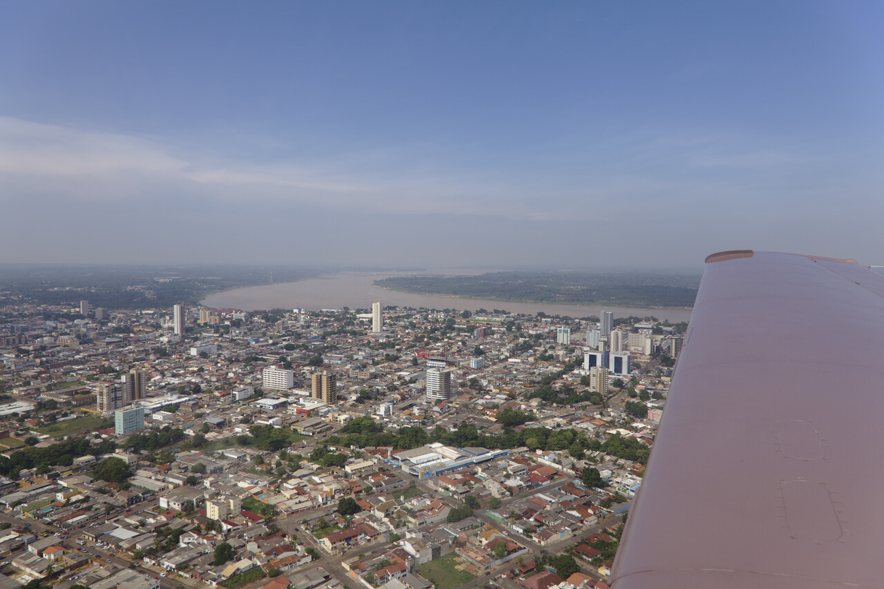
Porto Velho is no tourist destination, but we had a nice afternoon there, even with a small river cruise.
The leg from Porto Velho to Rio Branco (SBRB) was the one where we had to fight the most with convection and we had to skirt around the clouds quite a bit. ATC had no problem giving us what we asked for.
Rio Branco is the only place in this corner of Brazil with Avgas and customs/immigration, if only for one and a half hour in the morning and with PNR. Again our RocketRoute contact helped us here to coordinate things with AIS, customs and immigration. Without him we would not have been able to do it, at least not without other help. But this way things went smoothly when we departed – immigration showed up ten minutes late but were friendly and apologized. Receita Federal decided to not show up at all and we didn’t miss them.
Brazil is not cheap for small GA, Avgas is almost at German levels and fees for landing, parking, ATC etc. were about 250 Euros on average. Moreover, without speaking Portuguese and without handling it’s really difficult. Other than in Manaus, I’m not sure there are local handling agents at the airports we’ve been to. We weren’t approached by anybody but maybe one could at least pay for some remote assistance. On the other hand, except for the custom guys everybody we met was friendly and tried to help, no matter if it was about flying or other stuff.
Bolivia
Bolivia requires a permit to enter and fly in the country. It wasn’t too hard to get though. DGAC (their CAA) responded to email, even in English. They want to know the intended route beforehand, but I think it would be no problem to change it later. Moreover they require some documents. Besides the usual stuff like proof of insurance and registration they wanted a “tabla de operaciones en altura”. We fabricated one with POH data and a little guesswork where necessary. The permit arrives as an email attachment. Flying in Bolivia came as very positive surprise.
Our first destination in Bolivia was La Paz (SLLP). At 13314ft it has long been a dream of ours to fly there. Of course we would not do this flight with the weather being anything less than perfect. But we were lucky, the first day we had picked worked.
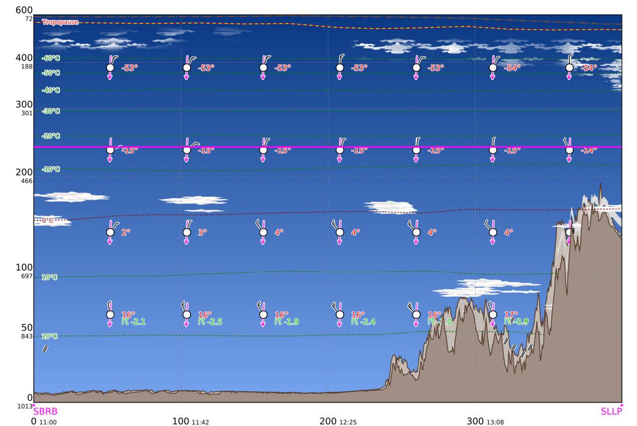
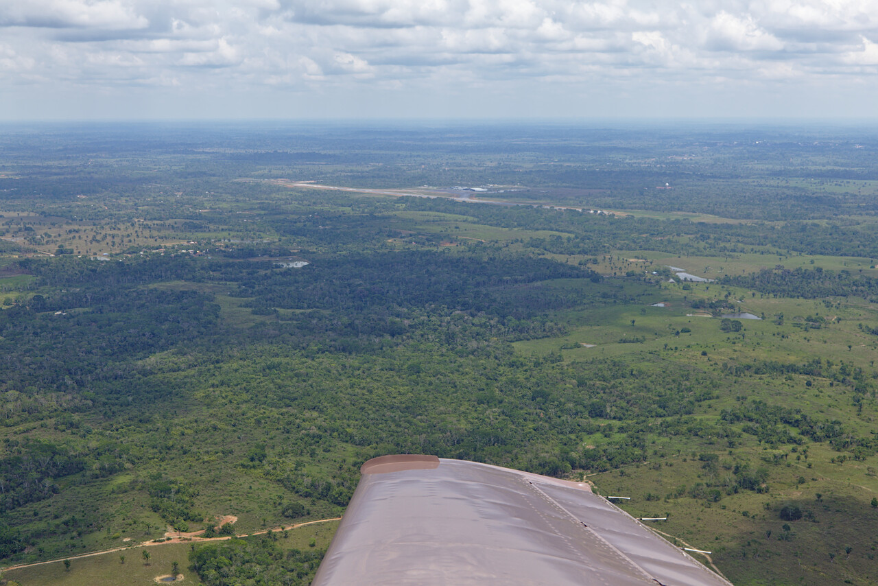
Brazilian ATC had huge problems with English that day. The winds were more favorable down low so we asked “request stop climb level 120” but not even after five repetitions did they understand. We opted for a shallow climb as Bolivia was close and we thought we could try in Spanish with them. It turned out not to be necessary: again we asked “request level 120 till WPTXY” and got the answer “you need to be at level 220 at WPTXY”. We said no problem and got “cleared level 120 and then level 240, cross WPTXY at 220 or above”.
SLLP sits on the altiplano, the high plains of the central Andes. There is a ridge to cross with peaks exceeding 20000ft shortly before reaching the airport. It was a smooth ride.
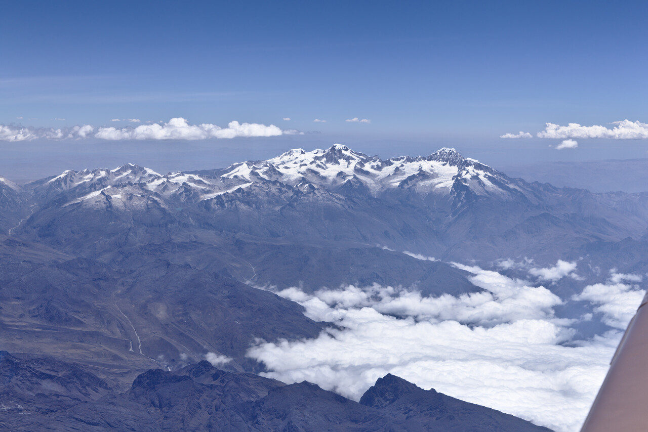
Before we had crossed the ridge completely ATC asked us to descend to level 220. We reached the plains right when we were level and suddenly all hell broke loose – it was very bumpy.
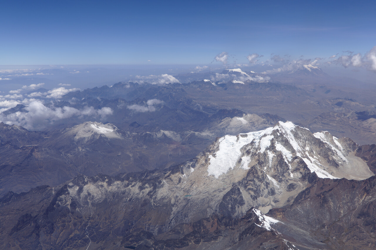
I don’t know if it was the descent (just 2000ft) or plains below what made the difference. ATC sent us into a holding over the field due to arriving traffic but actually we only had to do the offset entry, then we were cleared for the approach.
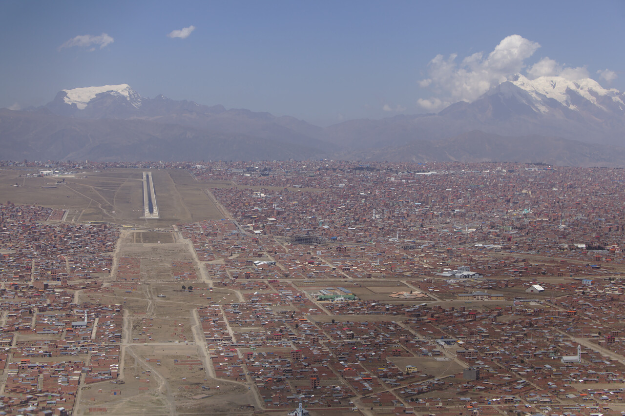
I can’t remember having such a hard time trying to fly a stabilized approach as I had here. Up and down drafts were quite extreme and my landing wasn’t the best but we were in La Paz! We removed the oxygen cannulas after shutdown. Reception was exceptionally friendly and relaxed by airport staff as well as by customs and immigration.
La Paz and its twin city El Alto (where the airport is located) are not as charming as other South American capitals but the location really is spectacular. Our last visit had been seven years ago and the development appears to be quite dynamic in Bolivia.
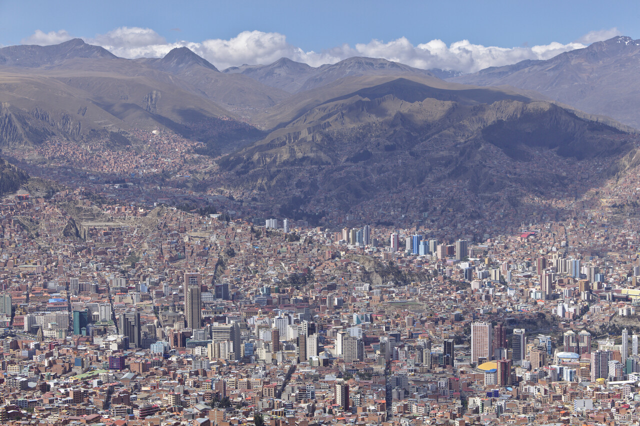
The next positive surprise came when we took the cable car to the airport the next day. We had forgotten some stuff in the plane and wanted to take the chance to refuel. We searched the offices and the first guy we met said “sure, no problem, I’ll take you to your plane”. He took us across security to the air side, and drove us over. Then he called the fuel truck and said that they could take us back to the terminal once we were finished.
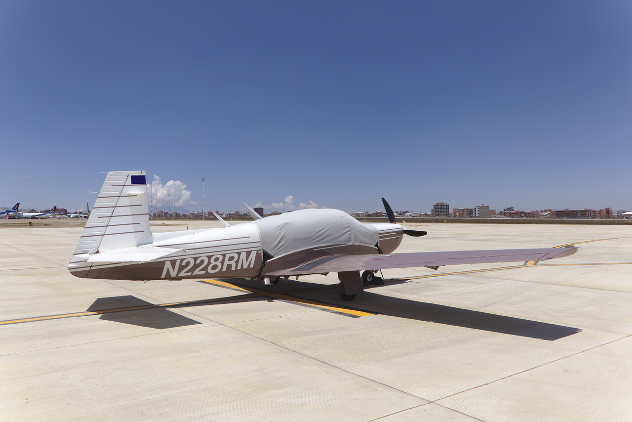
The best part came when we had to pay for the fuel: Avgas was 0.56 Euros per liter in all of Bolivia. The fuel truck gave us a lift back and we were good to go. We could concentrate on our mountain sickness for the next few days.
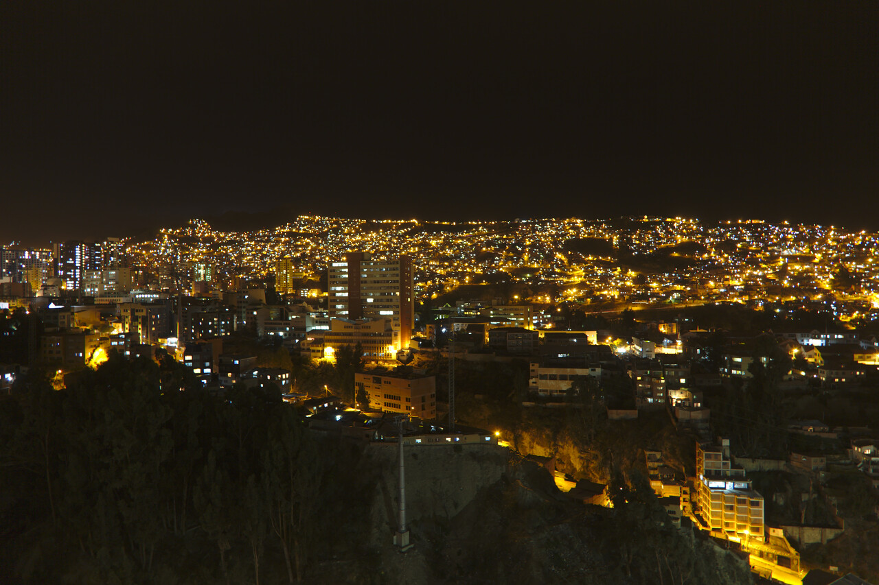
In Bolivia there is a quite distinct division between the mostly indigenous highlands and the mostly European/mestizo lowlands. The most spectacular tourist sites are located in the highlands, however we had visited them during previous journeys. So our next destination was the lowland capital (so to say) of Santa Cruz.
To get there we first had to depart from La Paz of course. Again we made sure to have really good weather and this time we had to wait for a day. We tried to get an early start to take advantage of the lower temperatures. Anyway, DA was 15500ft and OAT 13°C when we took off. Ground roll was really long and climb for the first 200ft or so was anemic but then we reached more favorable air and our Mooney again climbed at her normal rate.
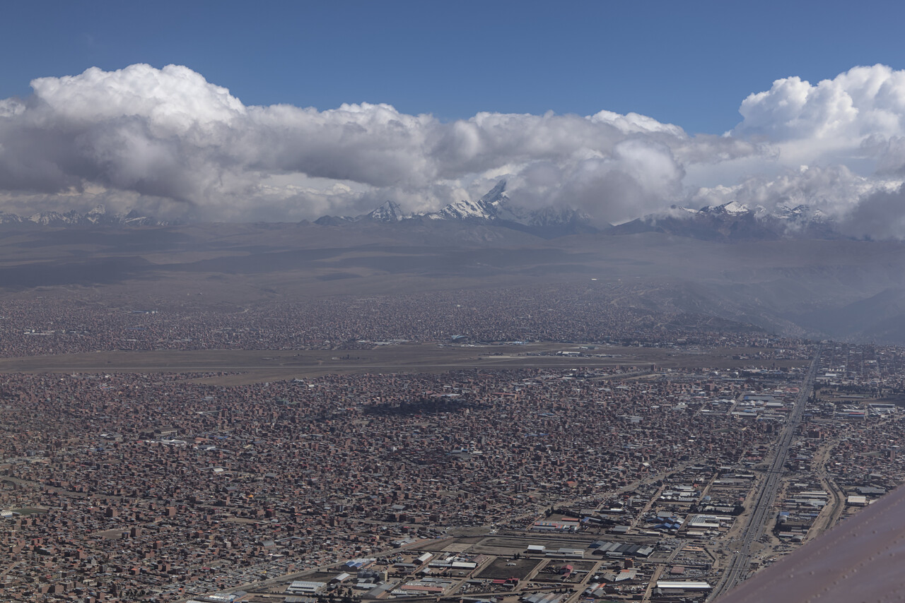
For this flight minimum altitude was FL230. We didn’t climb any higher this time. We were still on top of the scattered CU, but they were rising, of course.
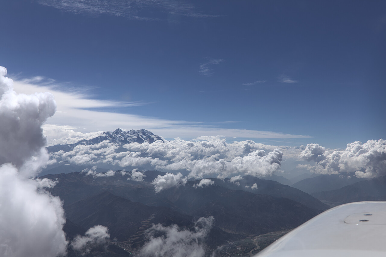
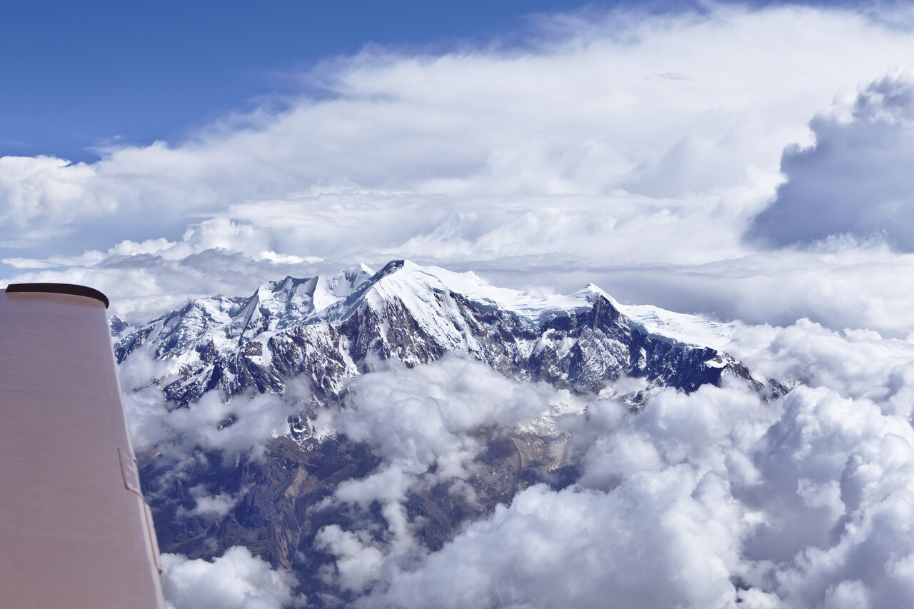
The highest peaks we came along were right at the beginning, while we were still on the SID. Thereafter the ridges slowly got lower.
Santa Cruz (SLET) had reduced visibility due to fume, temperature was 31°C and wind 20G30kt almost down the runway. It felt like somebody had forgotten to turn off the hair dryer.
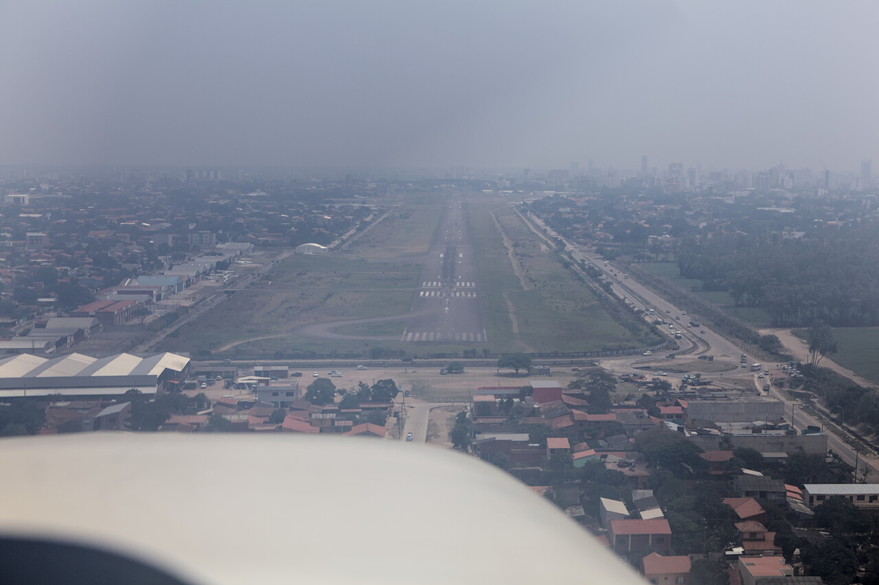
Santa Cruz is a pleasant and rather wealthy town. It appears to be in a different country compared to La Paz.
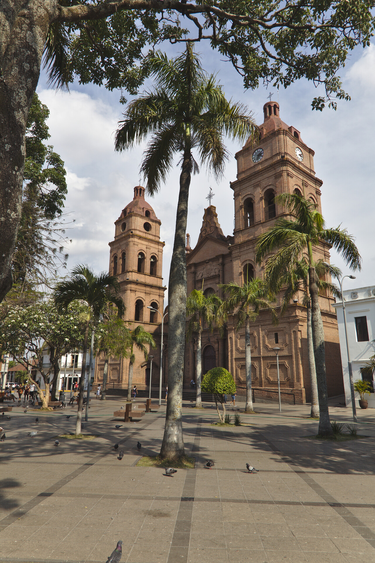
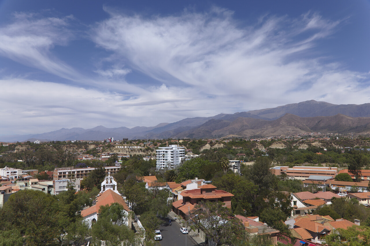
Our last stop in Bolivia was Tarija (SLTJ). It is conveniently located, has Avgas and Customs/Immigration on request. AND it’s the wine capital of Bolivia.
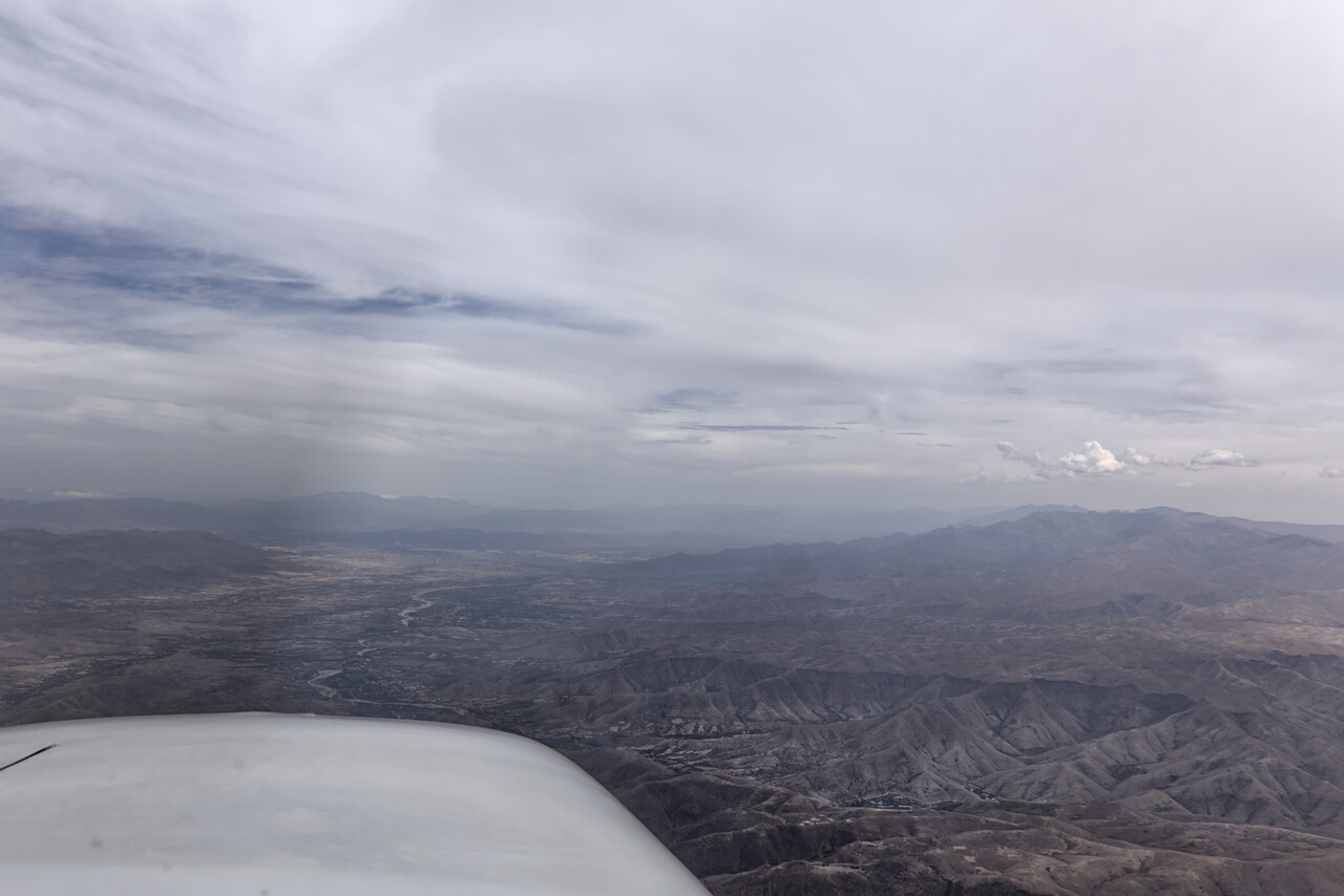
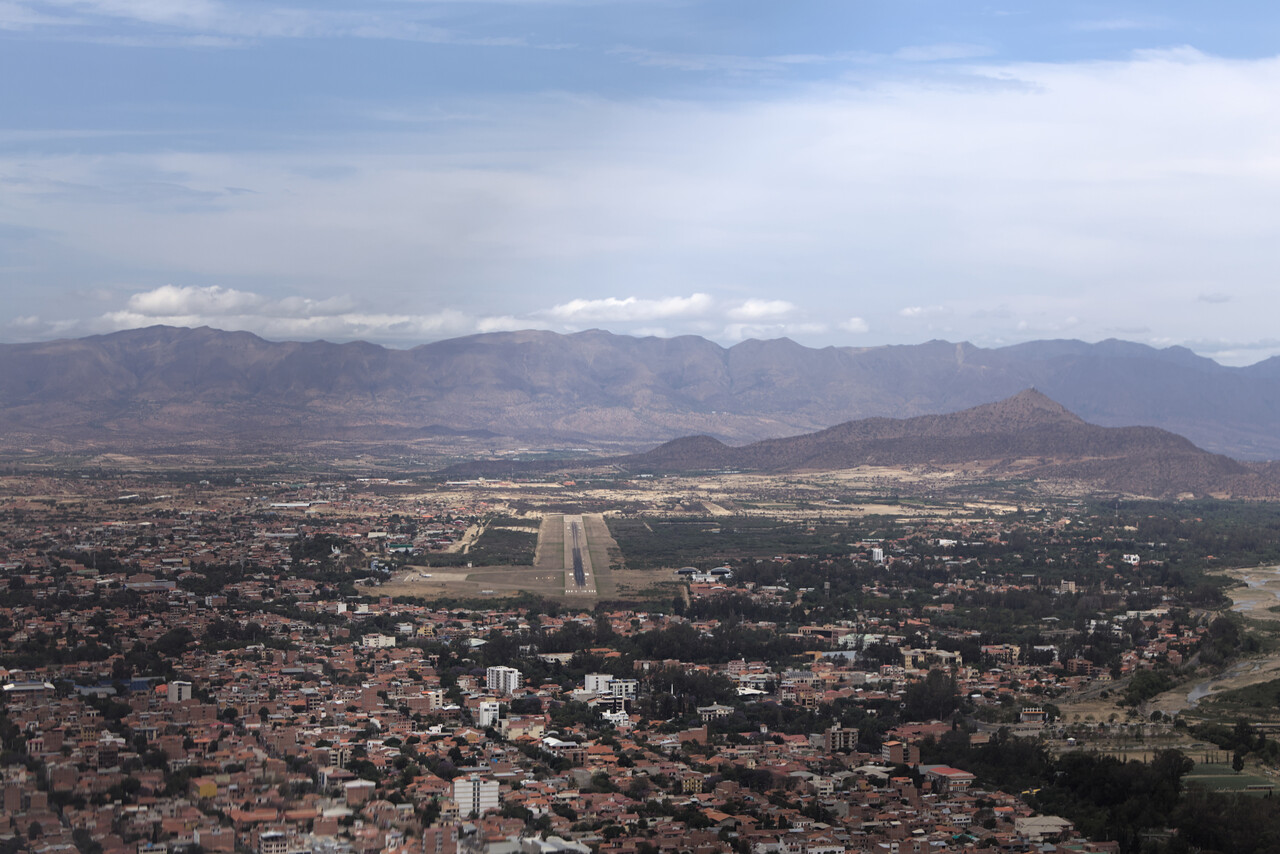
Tarija is located at an elevation of 6000ft and is surrounded by mountains. We were offered a visual approach but decided to descend along the published procedure.
It turned out that the wine didn’t justify a flight from Mannheim, but we enjoyed it anyway and town is quite nice.
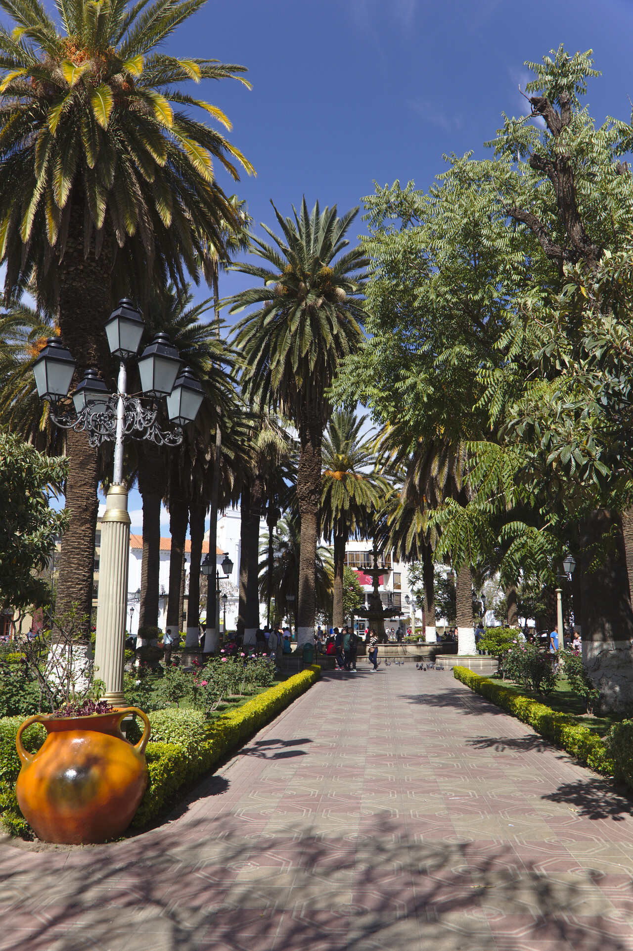
We took a tour to visit some of the wineries. There are a few modern ones highly influenced by Argentinian wine makers. They put out decent quality while the traditionally produced stuff is not fit for consumption by Europeans.
We went to the airport 24 hours before we intended to fly to file a flight plan and arrange customs/immigration. Again everything was very easy, we could even pay the fees the day before departure. We always paid less than 100 Euros at the Bolivian airports, even in La Paz with five day parking.
Departure worked fine as well. Immigration and customs showed up in time. Border police stamped our passports, customs however, wanted to check our baggage. They were very friendly though, even took a few private pics of our Mooney and we could take off as planned. This completed our very positive experience. Speaking Spanish, flying in Bolivia is really great.
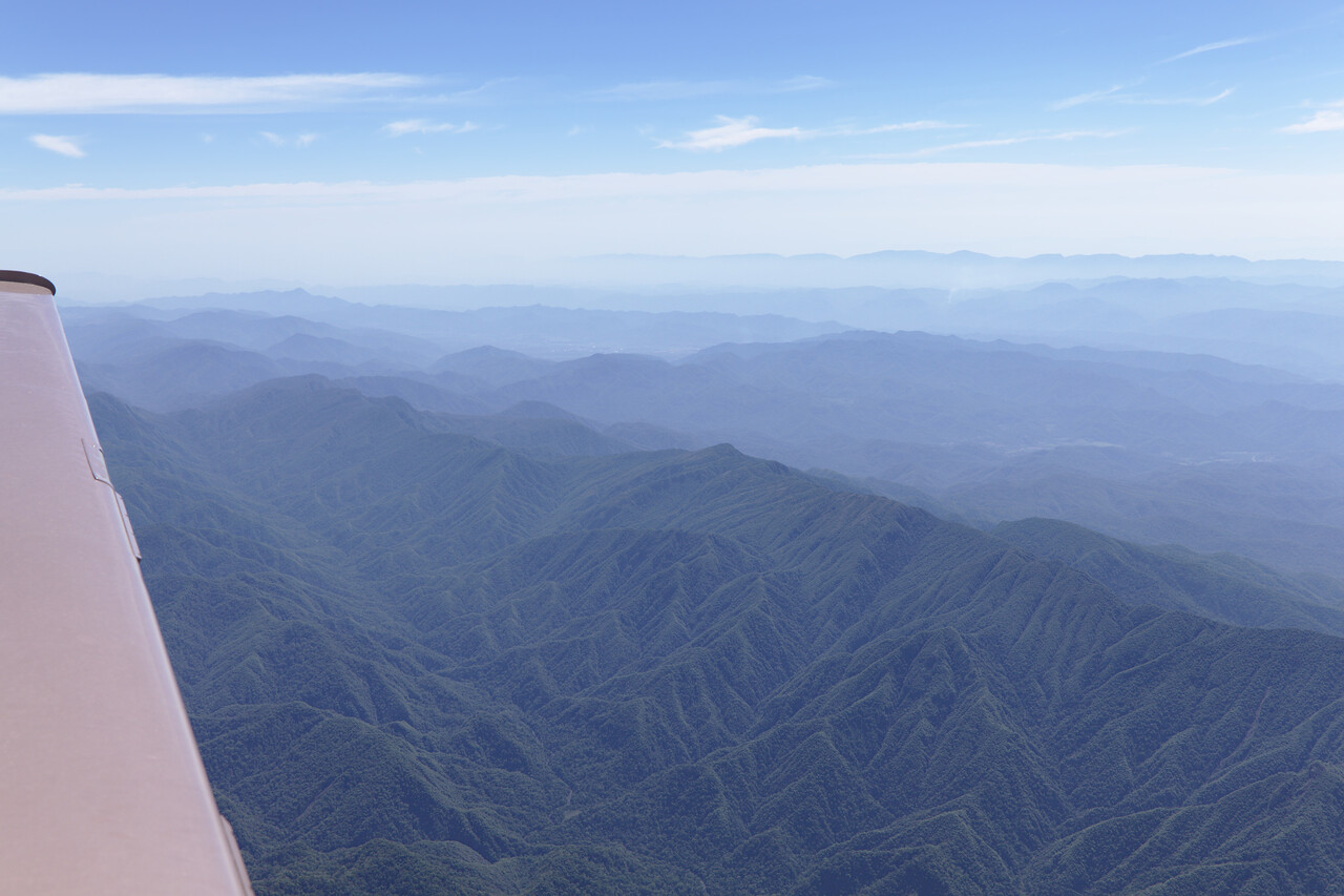
ATC cleared us directly to our first waypoint what exceeded the performance of our bird. No problem as it was perfect VMC and we requested and were granted a 360 but this could be dangerous in bad weather, of course. There is a SID but in the wrong direction.
Argentina
Argentina does not require a permit to enter the country. A flight plan with some additional information in field 18, 24 hours in advance is sufficient. We had filed it and called the ARO in Salta (SASA) the day before to make sure they had received it.
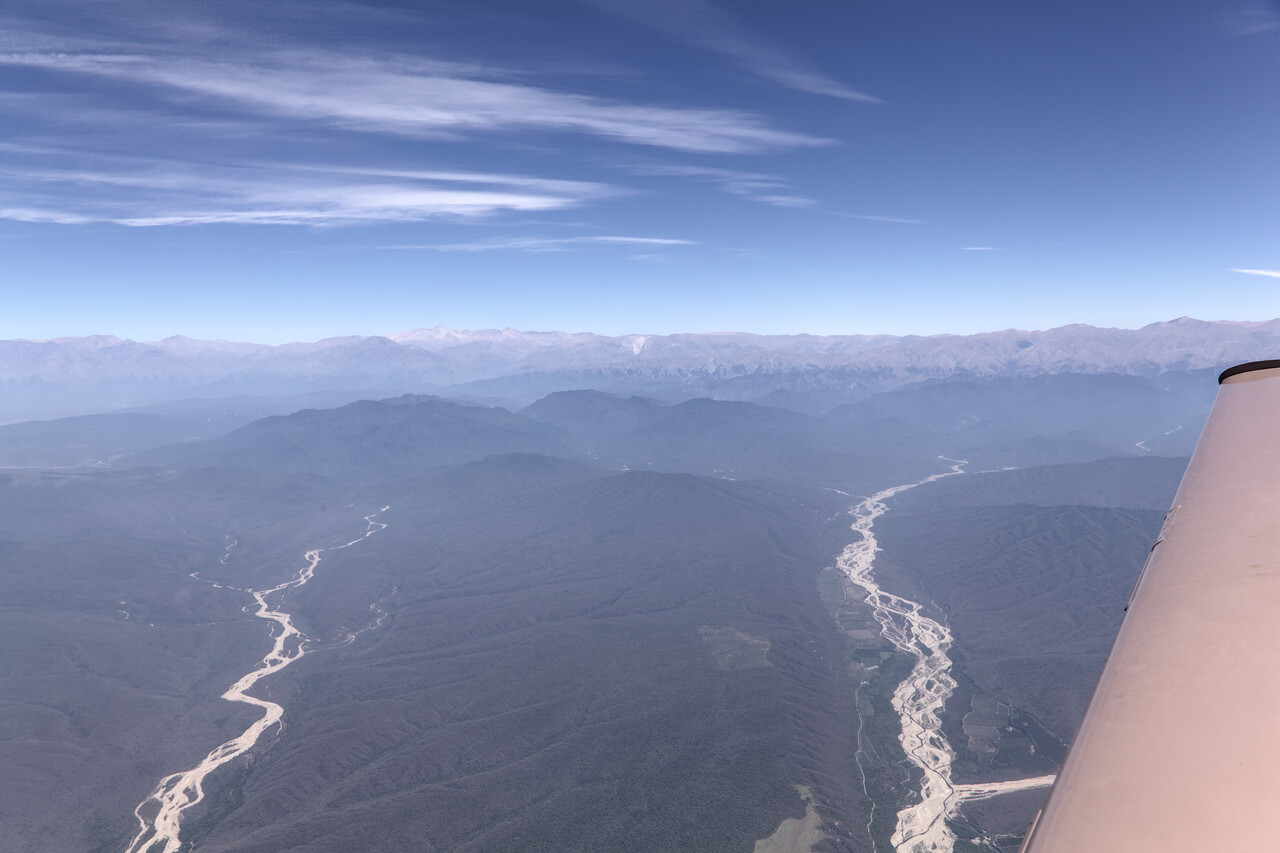
Arrival in Argentina worked without a problem. Border police refused to stamp our passports – as air crew we are allowed to stay in the country for 60 days. Sanitation and customs were mainly interested in the details of our journey from Europe and were very kind.
Argentina was the first real vacation destination on our journey. It is one of the most developed countries in South America and we speak the language, so we hoped for a few more relaxed weeks than we had previously.
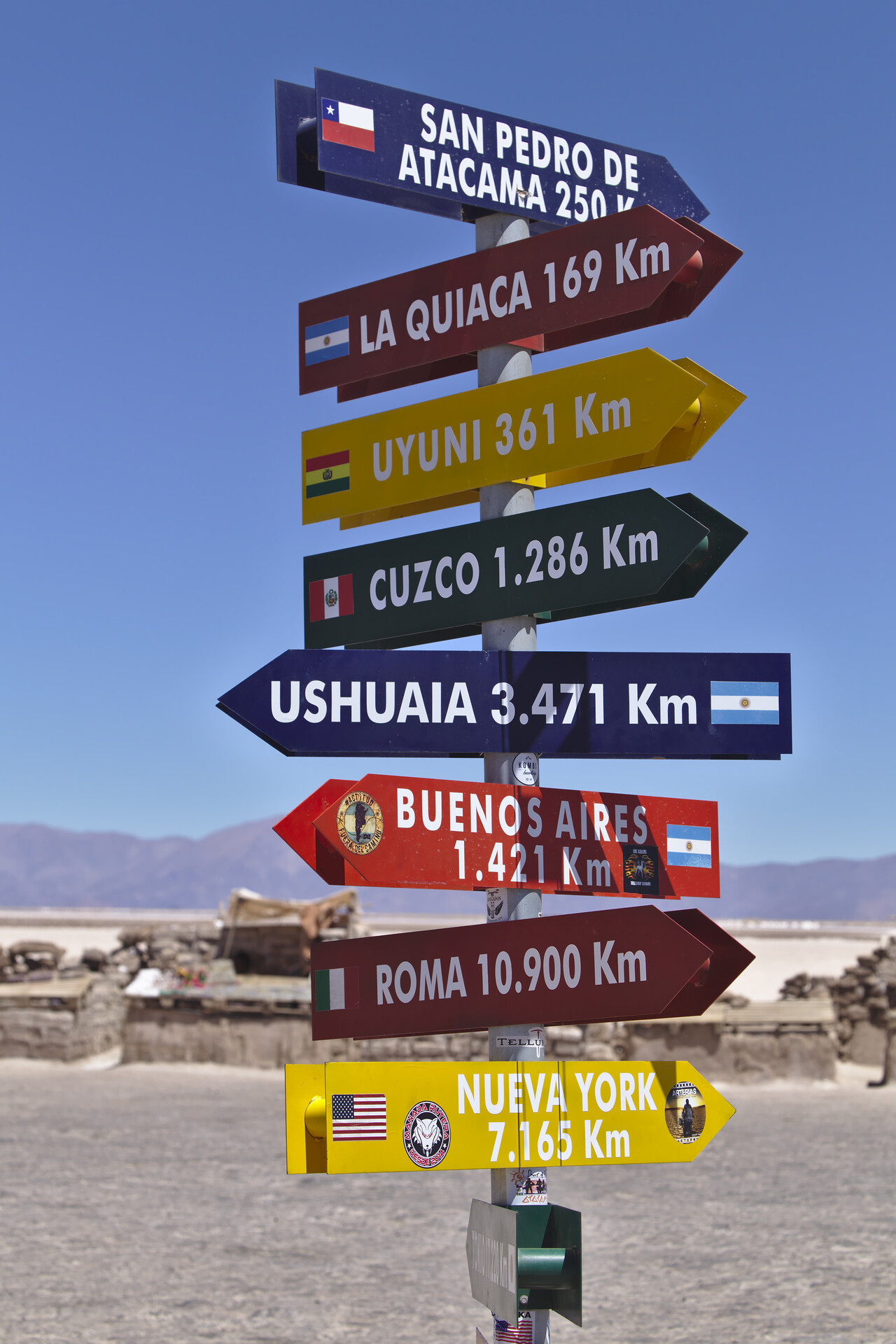
Argentina is huge. It’s the eighth largest county (by area) in the world. Even though it reaches only slightly north of the Tropic of Capricorn, the distance from its northern Corner to New York is only twice the distance to its southern tip near Ushuaia.
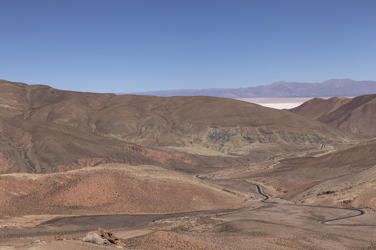
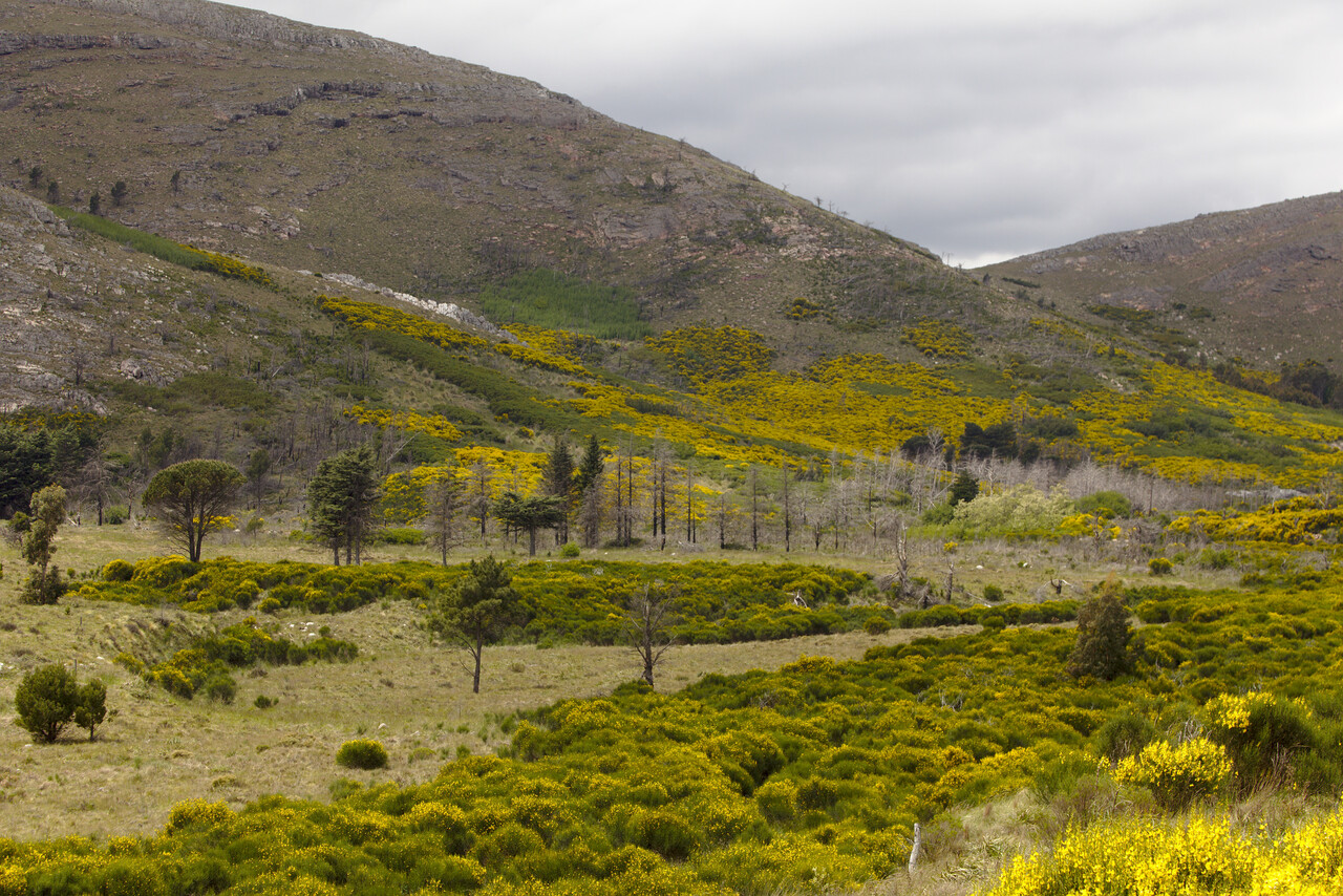
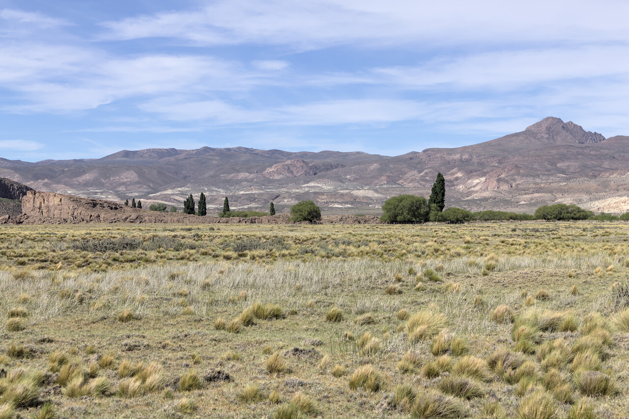
As large as the country is, as large is the variety of landscapes that can be found in Argentina. It reaches from Andean high deserts in the northwest to sub-Antarctic islands in the south and everything in between.
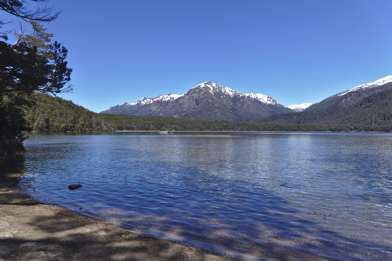
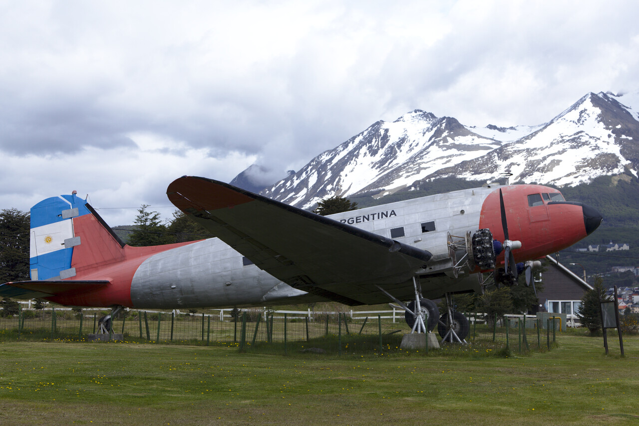
Flying in Argentina wasn’t as easy as we had hoped for, as far as the paperwork is concerned. One has to fill out a sort of internal GenDec for each flight from a controlled airport, actually even two of them. After landing you have to show up in the ARO where crew and aircraft papers will be inspected. Staff is very friendly and usually apologizes for the inconvenience but nevertheless it takes quite a while. Fees are generally low and will sometimes even be waived. At other airports we had to pay between 25€ and 50 cents. Even the 50 cents have to be paid by credit card what again can be very complicated. A flight plan is required for each flight, IFR as well as VFR.
ATC is friendly and helpful but away from the big airports not much English is spoken. We found it much easier to speak Spanish on the radio once we were south of Buenos Aires. It takes a while to get used to the dialect here – e.g. miles in Spanish (millas) is pronounced meeyas here they say meeshas VHF contact might get lost enroute and there is no radar away from the terminals, so controllers ask for position reports and estimates.
Fuel was affordable at about 1.20€ per liter. Paying for it can again be an administrative nightmare of at least half an hour. Handling is not required. The only exception was Mendoza (SAME) where we needed a bus to get to the aircraft.
All of this may sound negative, but actually flying here was an extremely positive experience. We have always been treated very respectfully and friendly by everybody. Police, military (who run the ARO and possibly ATC in a few places), and everybody else we had to deal with was really nice at all times and nobody took the processes too serious.
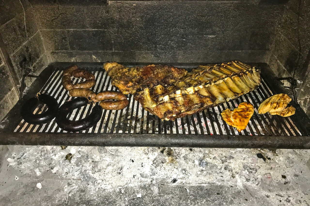
The best part, however, were fellow pilots. Argentina has a small but vibrant GA scene, both with private owners and clubs. We found an incredible amount of hospitality here. We were invited to an Asado (Argentine grill party) and found shelter in private and club hangars for free several times.
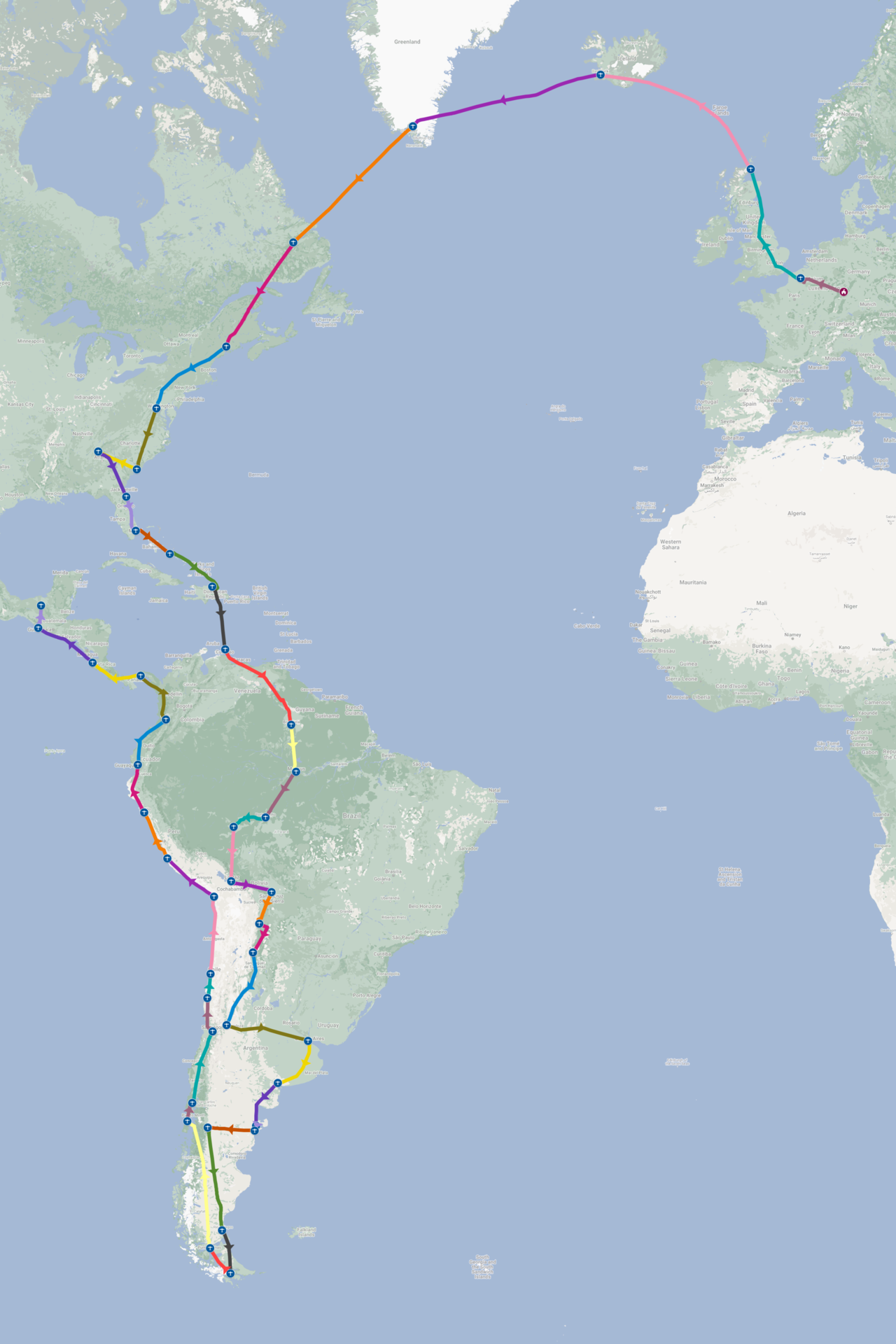
We had been to Argentina a couple of times before, so we knew quite a few places already. We chose the destinations of this trip in part because we hadn’t been there before, in part because we liked them during previous trips and in part because of practical constraints. The resulting route was Salta (SASA) – Mendoza (SAME) – San Fernando (SADF) for Buenos Aires – Bahia Blanca Aero Club (ZZZZ) – Puerto Madryn (SAVY) – Trelew (SAVT), fuel only – Esquel (SAVE) – Rio Gallegos (SAWG), fuel only – Ushuaia (SAWH).
Apart from what I already wrote about the immigration procedure in Salta, there is nothing to tell with respect to flying. Salta is one of the main tourist magnets in Argentina. It’s really a lovely city we had visited previously but the main draw is the surrounding landscape. Here we took a cheap rental car and drove around the mountains for a few days.
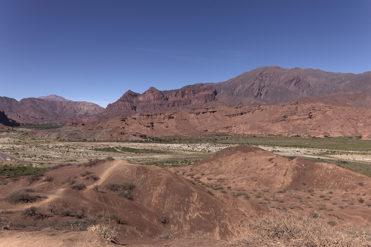
Mendoza, our next stop, also ranks high on the popularity list of most tourists. It’s located in a dry area (most of the year), surrounded by irrigated vineyards with the high Andes in the background.
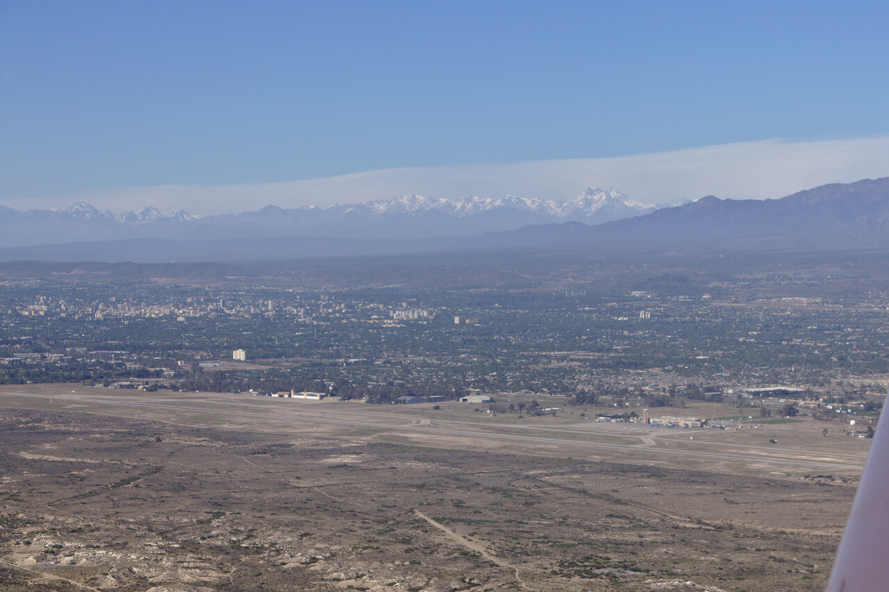
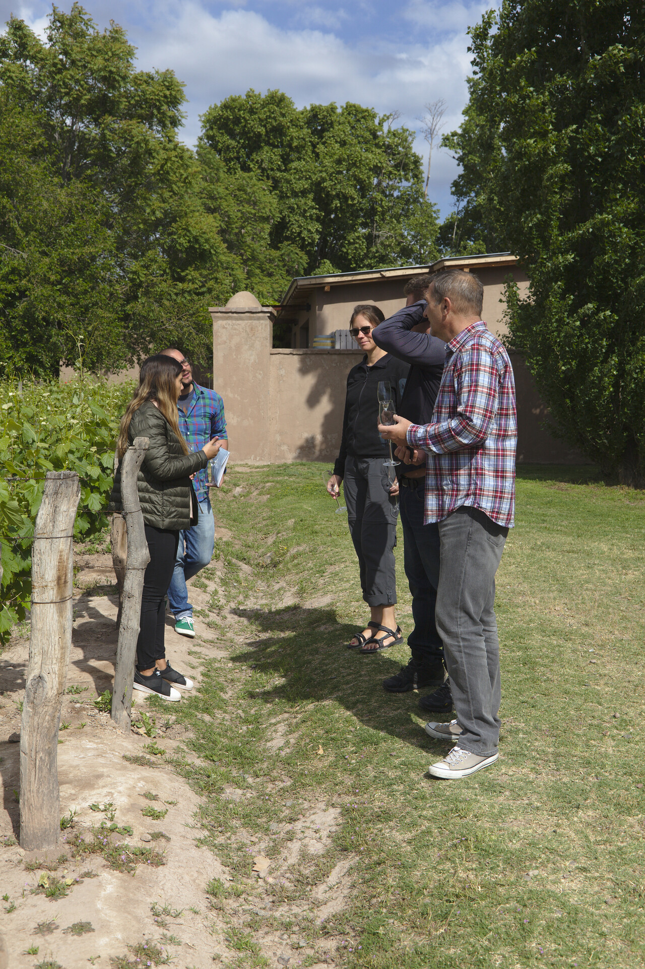
This was the only place where we had to park the aircraft inconveniently on the main ramp and we needed to take the apron bus to get there. This service costs almost 50€ per ride and we needed it six times, because you are not allowed to taxi to the fuel station after landing before reporting in the ARO. Luckily they billed us only two.Mendoza is the best regarded wine region in Argentina and most people come here to visit some of the wineries and do some tastings. We did that as well, of course.
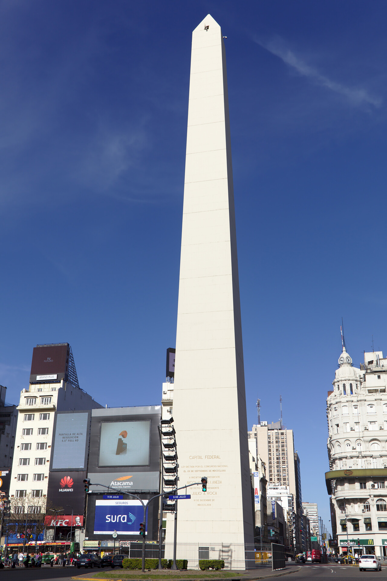
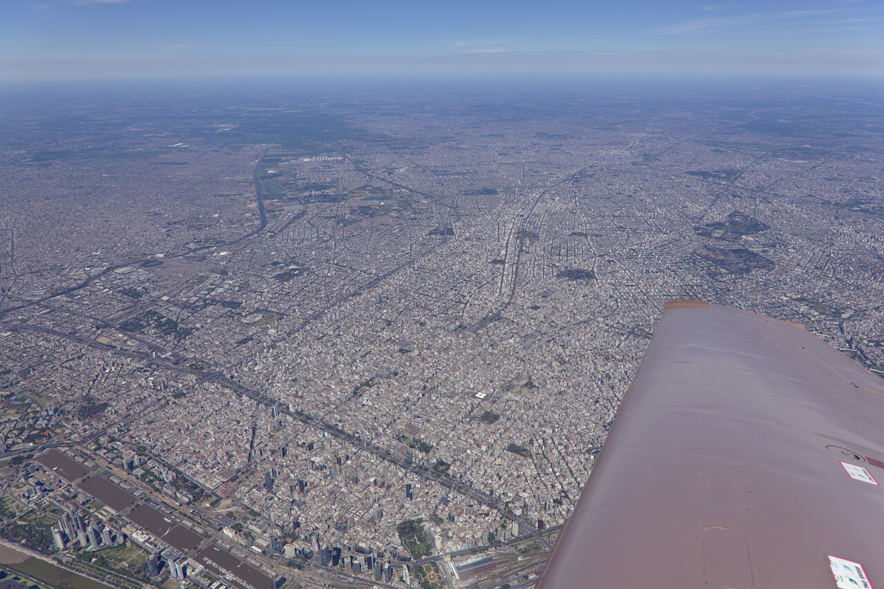
After all that flying at high altitude our oxygen pressure started to get low so we were looking for a refill. San Fernando (SADF), Buenos Aires’ GA airfield is supposedly the only place in Argentina where this is possible, so this was our next destination. Buenos Aires is a vibrant metropolis and quite interesting but we would probably have skipped it this time without the need for oxygen.
Getting oxygen turned out to be quite difficult, as the FBO which offered the service was not very experienced with it. Actually it appeared as if they had never filled up an oxygen tank before. It took the better part of a day till they found the right fitting and had finally filled up our tank. The FBO asked for a “ramp fee” of 100US$ but this included washing the aircraft and three nights in their hangar.
Our next stop was the nicest one. We had been in contact with Argentine fellow Mooney pilots via the internet before and one of them had invited us to visit him and his Aero Club in Bahia Blanca. The Club has its own little air field out of town.
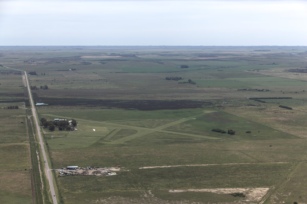
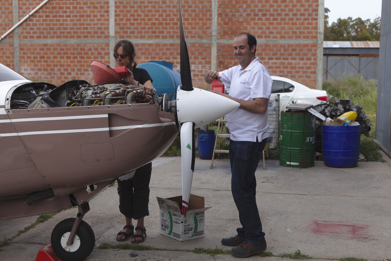
Our Mooney could stay in our friend’s hangar for a few days, we had a great time with other pilots and could even do an oil change. Again we took a rental car and drove over to a small mountain range called Sierra de la Ventana.
One natural marvel on the coast of Argentina is peninsula Valdez, famous for whales, penguins and sea elephants. It is reachable from Puerto Madryn (SAVY), where we flew next. It turned out very sleepy regional airport with only one scheduled flight per day. Again we could stay with the local Aero Club. No fuel but no fees either.
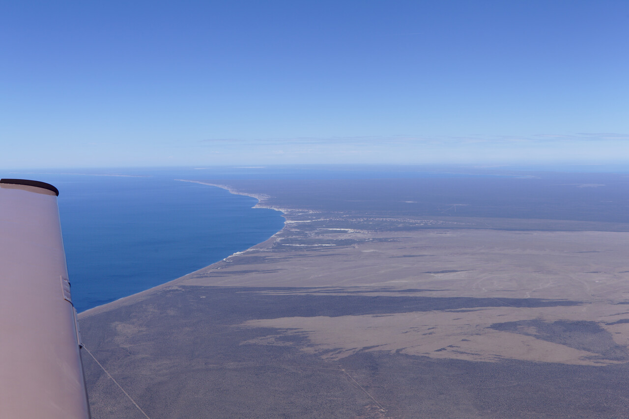
You can book tours from the town of Puerto Madryn taking you to the peninsula. Not cheap, but really worth it. They take you to various spots to where wildlife can be seen.
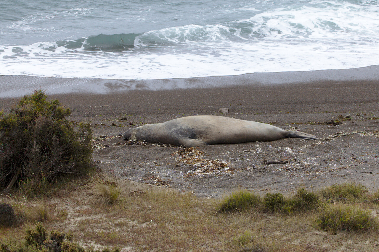
A boat ride is included which takes the group out to a bay. Seeing whales close up is virtually guaranteed during the right season and we luckily were there during the right season
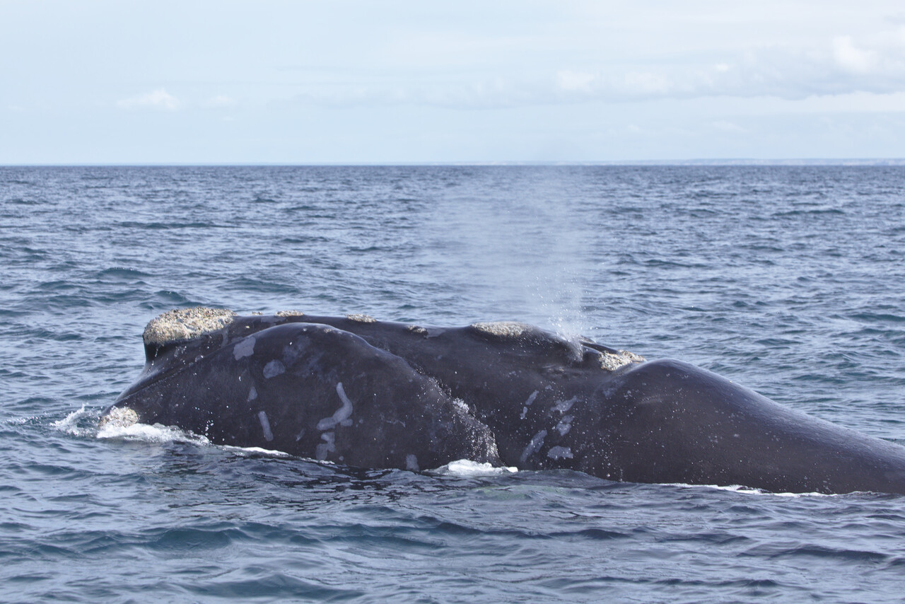
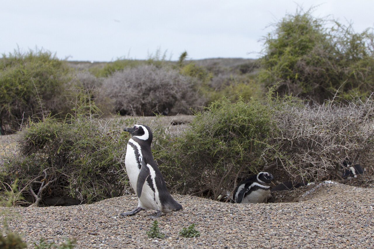
The tour is concluded by a little hike through a penguin colony. Orcas (killer whales) patrol the beach, waiting for the penguins to leave the shore.
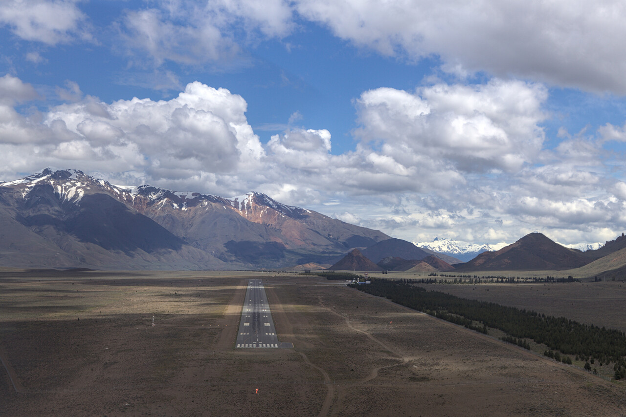
After so much seaside we headed for the mountains again. A fuel stop in Trelew (SAVT) was very relaxed, no landing or other fees had to be paid. Our destination was Esquel (SAVE). Once more this turned out to be a sleepy but exceptionally friendly airport with one 737 per day arriving from Buenos Aires. We could stay in the aero club’s hangar for a week free of charge.
There are several national parks we hadn’t visited before in the area. We rented a car and were quite lucky with the weather for a few days.
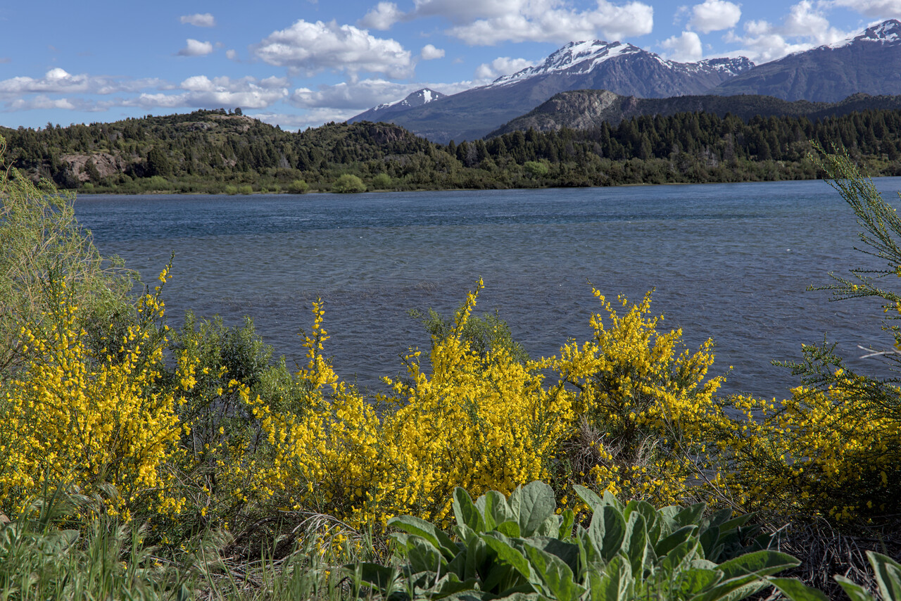
It was spring time here, but quite early. Unfortunately none of the hikes we were interested in was accessible yet. Only a few shorter ones in Parque National los Alerces were possible.
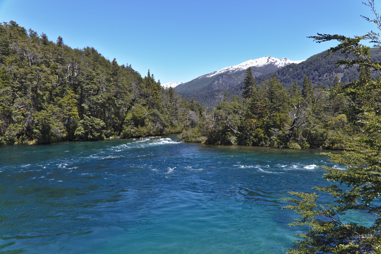
I didn’t include many airborne pictures from Argentina so far because it was either clouded or boring, but this was to change on our way to Ushuaia, which was our next and final destination in Argentina.
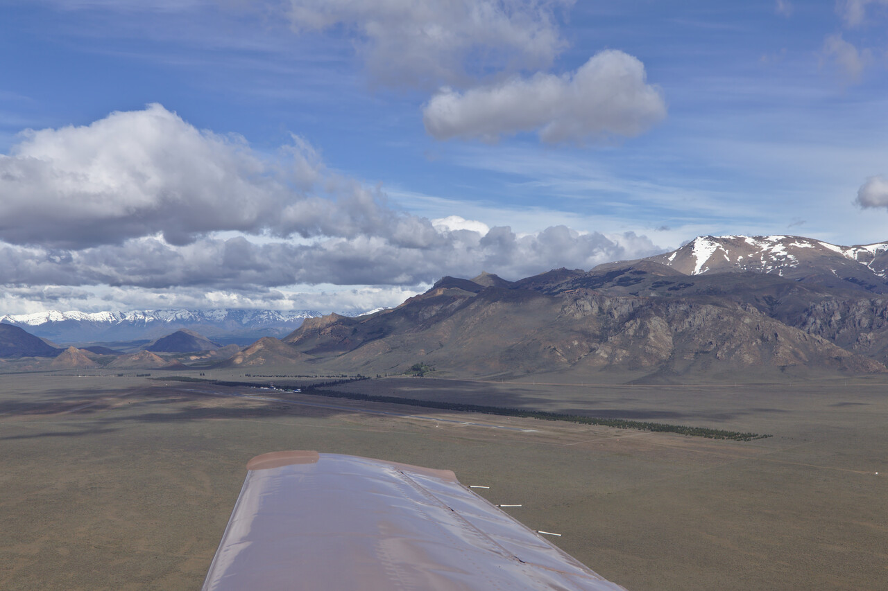
The first leg of the day took us to Rio Gallegos to get fuel. It was very bumpy with heavy up and down drafts up to FL130. Later we had to climb to FL190 to stay on top, wasting our precious oxygen.
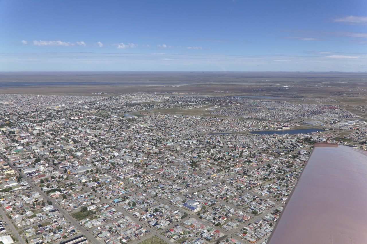
Rio Gallegos was extremely relaxed again, but it was one of the airports where we had to pay a fee of around 50 cent by credit card.
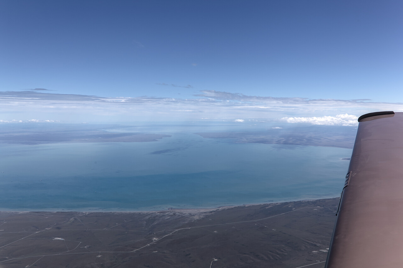
Tierra del Fuego is a sub-Antarctic island south of the mainland. It’s flat to the east but mountainous to the west and south. And it’s famous for its poor weather. The day we arrived was a rare exception.
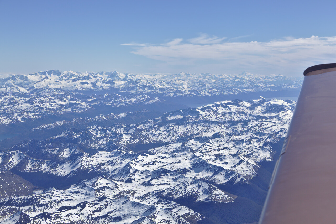
ATC ordered us to fly at FL140 and we weren’t allowed to descend until shortly before we reached Ushuaia (SAWH), situated on the northern shore of the Beagle Channel. We were offered a visual approach and the Beagle Channel is wide, so it was no problem to dive into it and avoid the procedure.
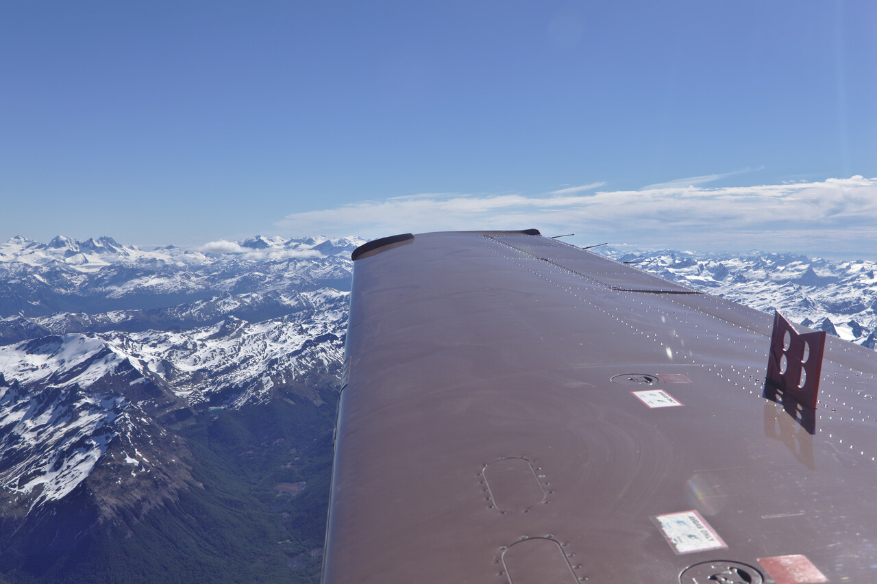
An approach into Ushuaia in these conditions is a great experience, it was one of the highlights of our flying so far.
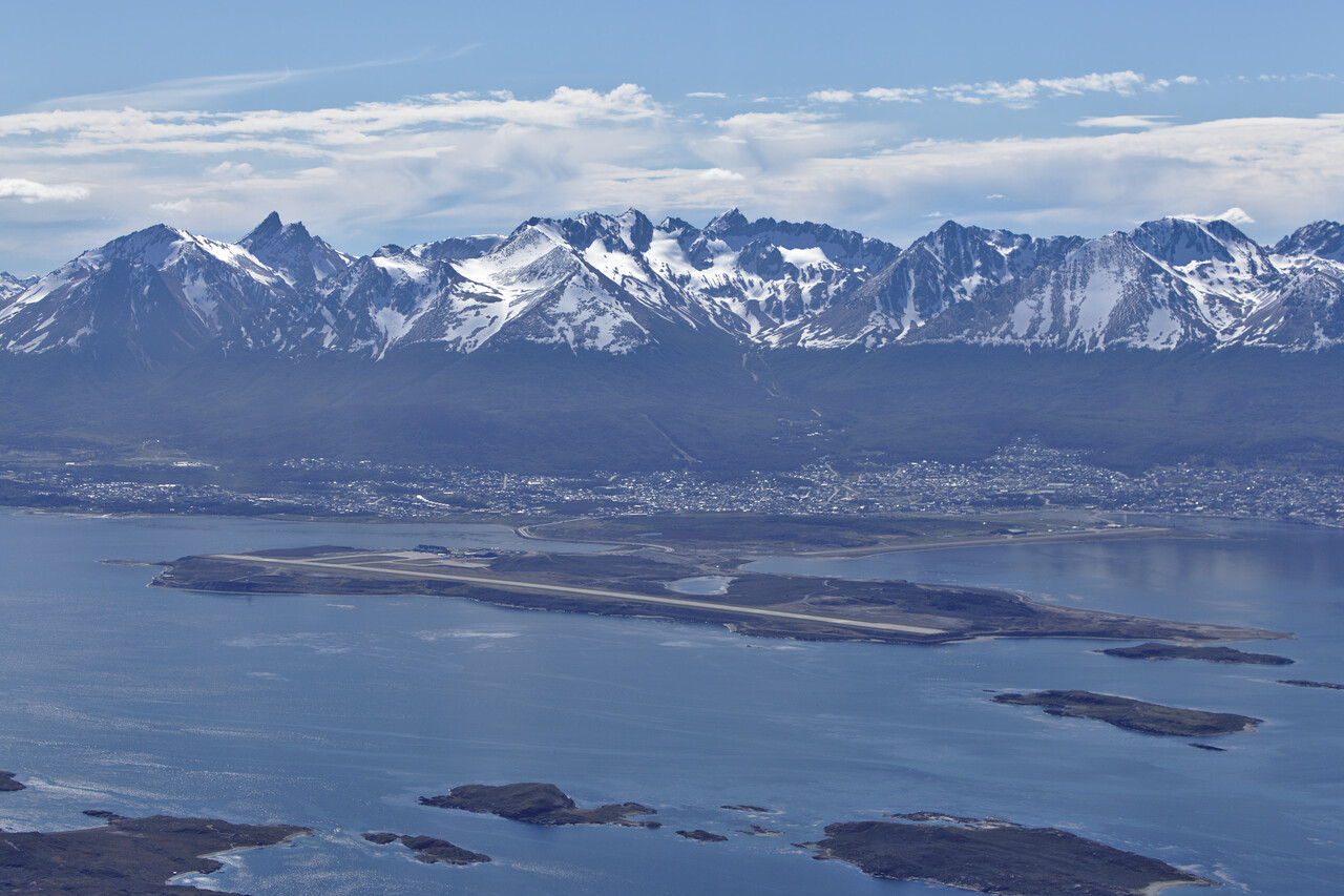
Immigration police is not usually present at the airport in Ushuaia, so prior arrangement is necessary. It took a quite a few phone calls to find the right contact. However, once we had that, everything worked fine. Two friendly ladies appeared in time for our departure. No stamps were necessary but they had to scan our passports to update their database.
Chile
Ushuaia was the turning point, from there on we were headed north again. So Chile was the first country on our way home.
Chile is a long and narrow country. The GC distance between its southernmost airport SCGZ (near Ushuaia, Argentina) and the northernmost in Arica is 2200 NM. However, it’s squeezed between the Andes and the Pacific Ocean. Wherever you are in Chile, the shoreline and the western border are never more than a couple of miles away. In fact, the country is so narrow that the semi-circular rules apply between 271 and 90 degrees. There is no east-west flying in Chile.
Considering the vast north-south extension, it’s not surprising that all climatic zones from the sub-antarctic steppe to the sub-tropic desert can be found in Chile. However, the mountains and the sea are very dominant as they are always close by.
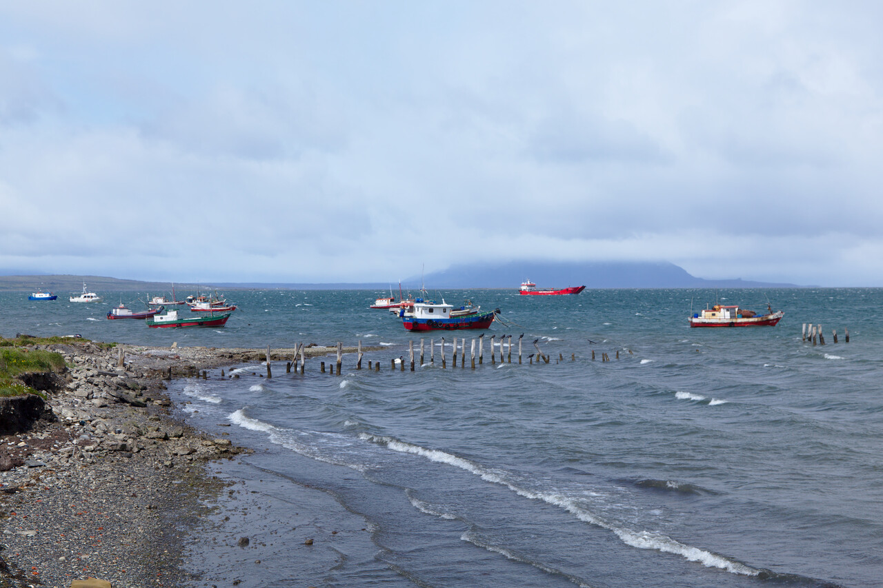
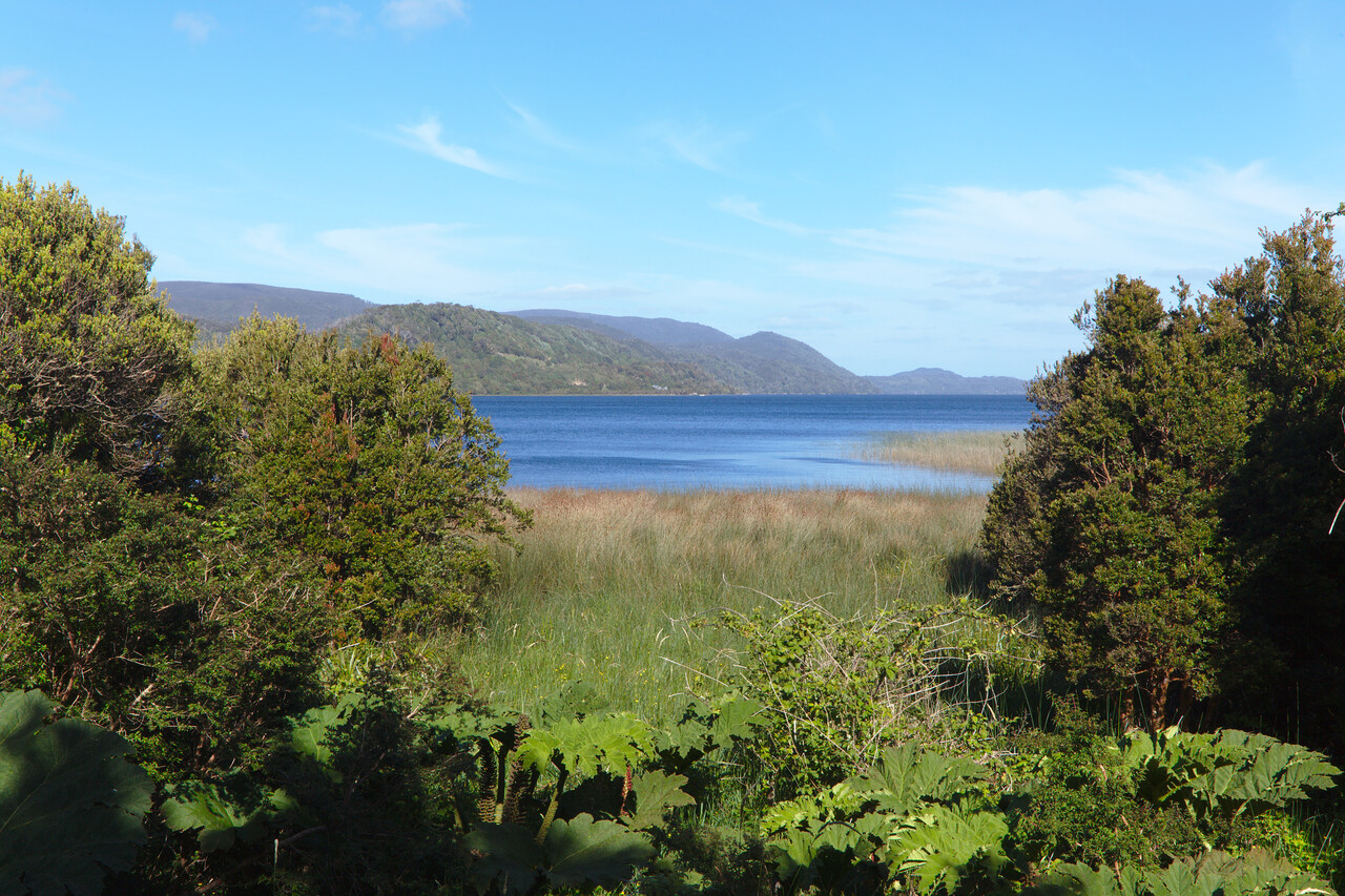
Chile is an outdoor lovers’ paradise. There are numerous national parks all over the country, many of which are easily accessible. Landscape is often spectacular and the less crowded ones allow dispersed camping wherever you like. Sometimes you can walk for days without meeting other hikers.
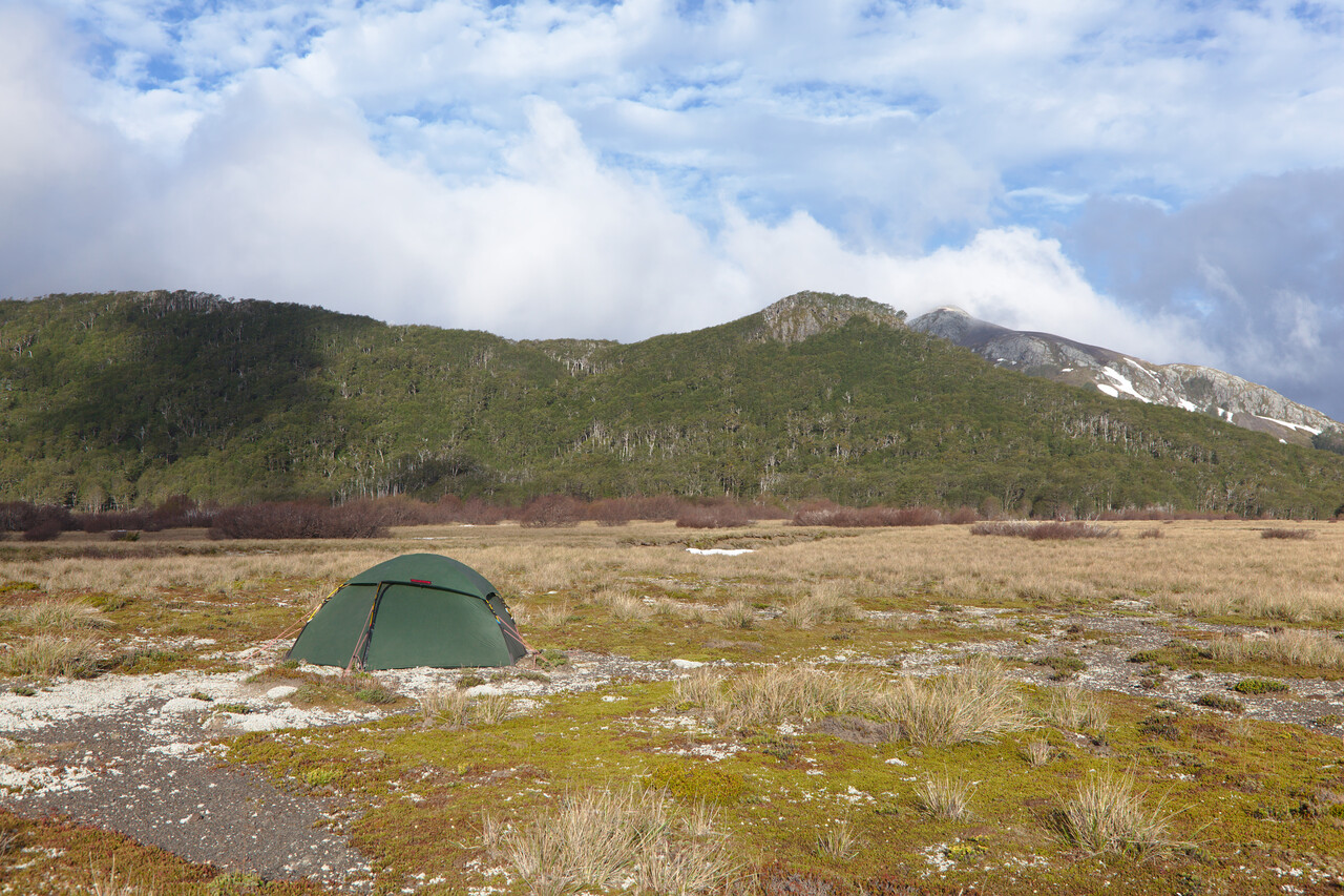
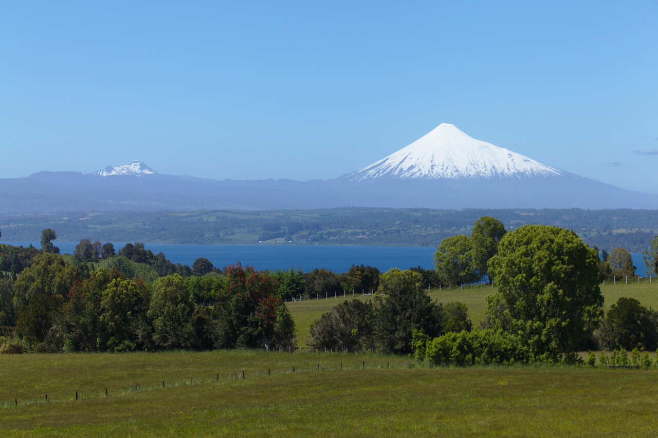
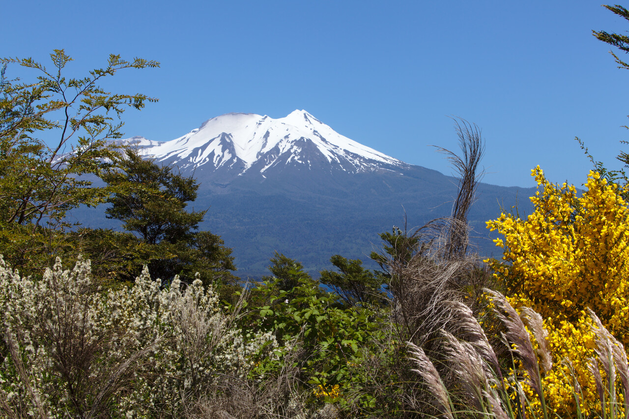
Especially the landscape in southern central Chile, the Sur Chico (little south) is very impressive. It’s called the Chilean lakes district. But not only are there a lot of lakes, moreover there are many volcanoes dotting the area.
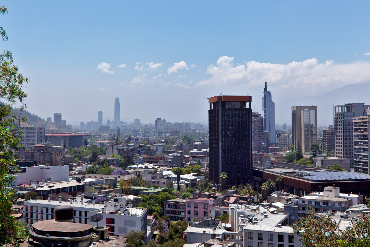
The capital of Santiago de Chile and the metropolitan area split the country in South and North. It’s probably the most European capital in South America.
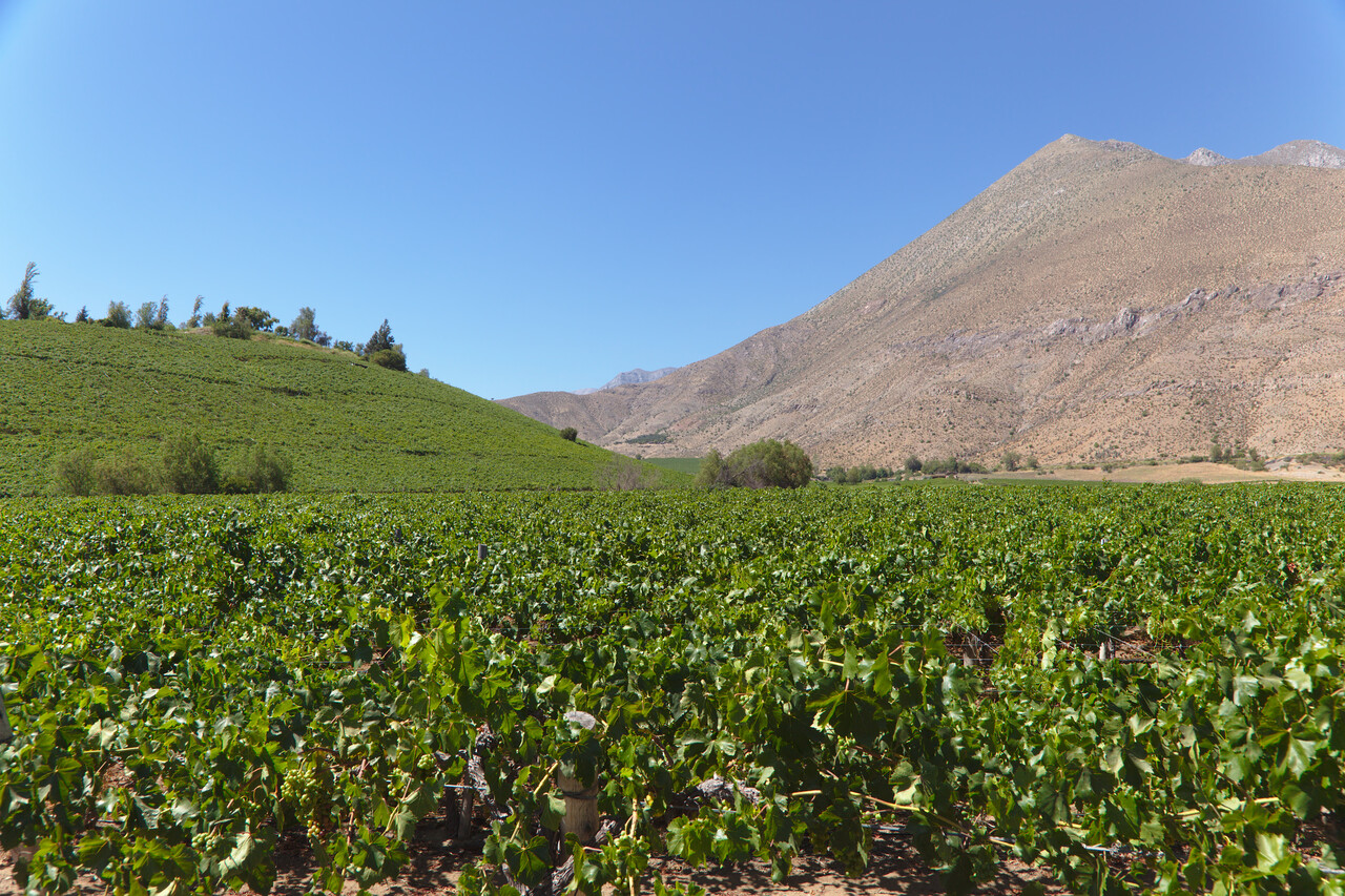
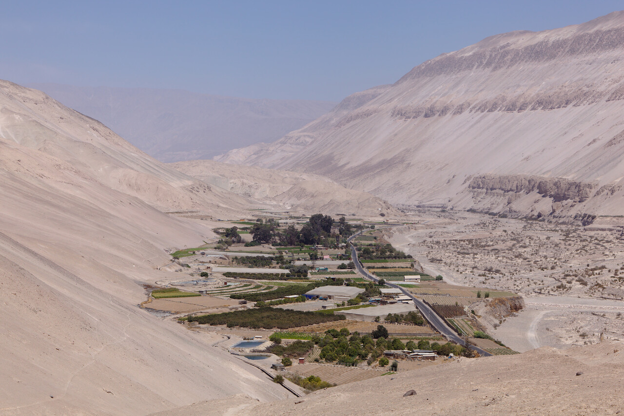
The further north one travels, the dryer it gets. While agriculture is still possible a little north of Santiago, the Atacama desert that covers the northern quarter of Chile is one of the driest places on Earth.
Flying-wise Chile was finally the paradise we had hoped for. A simple online form had to be submitted to get permission to enter the country. On arrival we had to pay an entry fee of about 25€ and from there on no other fees applied. We didn’t pay a cent for landing or parking after that! Flight plans can be filed via RocketRoute again. Some of the airports wanted us to fill in a form with our names before a flight, others didn’t care. Showing our licenses was sufficient to get access to the ramp. At least in the Santiago area ATC speaks English, we used Spanish in other places. Chileans speak rapidly and often omit the last character of a word but controllers usually tried to be a little considerate. There is radar coverage all over the country and VHF contact is rarely lost. Everything is well organized, friendly and works efficiently. Avgas is available in many places and costs between 1.30€ and 1.40€ per liter. It can be paid by credit card in a matter of minutes. What a difference to Argentina.
As different the official side was from Argentina, as different was the personal one. In Argentina we found it easy to get contact to local pilots. Many of them went out of their way to help us. In Chile nobody cared. We contacted a few aeroclubs by mail or Facebook, but they didn’t even reply. In some places the aeroclubs sell the Avgas but again, nobody was interested in any contact.
This was by far not our first visit to Chile, so we chose the destinations for this trip in part because we hadn’t been there, in part because we liked them on previous trips and in part for practical reasons. The resulting route was Punta Arenas (SCCI) – Chiloé (SCPQ) – Osorno (SCJO) – Santiago (SCTB) – La Serena (SCSE) – Copiapó (SCAT) – Arica (SCAR).
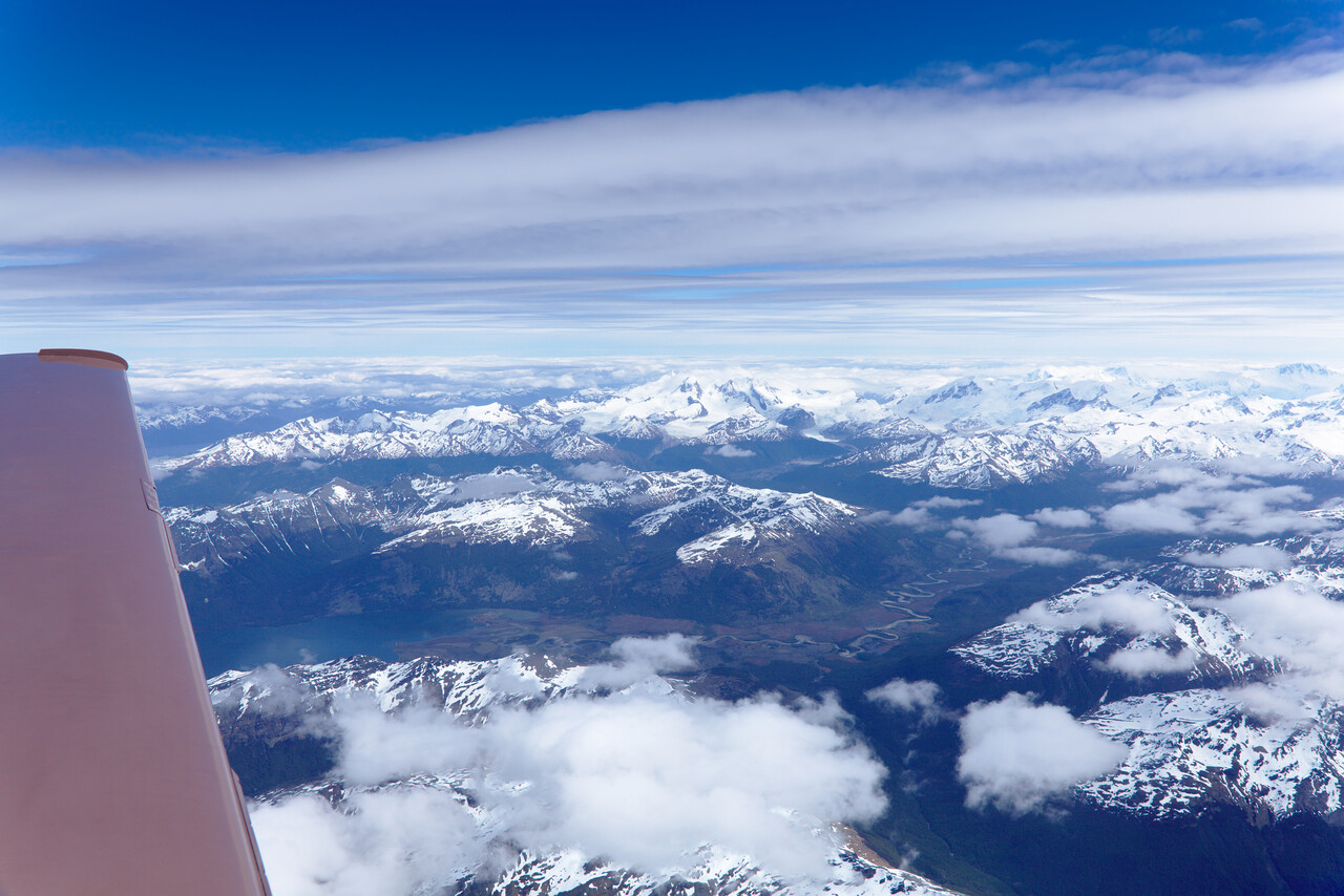
We arrived in Punta Arenas on what we thought was a windy day. We learned that 25G35KT has to be considered benign. 40G50KT was the order during the few days we stayed. Luckily there are three runways to choose from, so it’s not that bad. After landing we parked on the ramp and went to the ARO and the guy there was very helpful. He sent us to immigration police first, then to the sanitary service and finally to customs. The customs guy was completely unsure what to do with us. He phoned somebody who was in the know apparently and then had a quick look at our backpacks. He didn’t bother to inspect the aircraft, he created and stamped a form that admits the plane to be in the country for ninety days and gave it to us. Finally we had to pay the 25€ at an administration office and everything was fine. We refueled and were allocated a spot behind a hangar where there was at least a little shelter from the wind.
There is a national park in the area where we once did a little two day hike about ten years ago and we thought about going there again. However, it turned out that it is the most popular park in Chile and you have to book campsites months in advance. Anyway, it was too early in the season and very cold. So we decided to fly up to the island of Chiloé and this turned out to be a nerve-wracking flight.
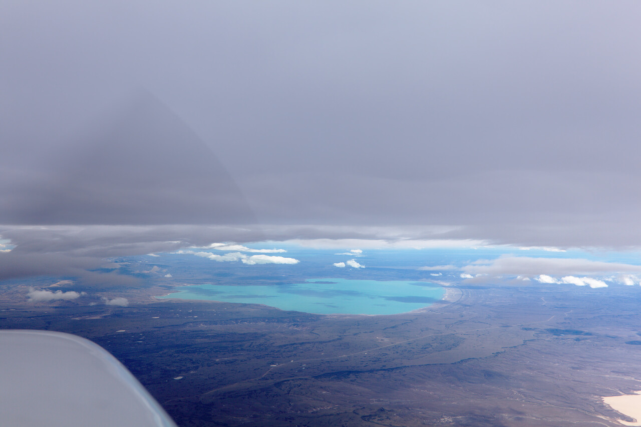
There were clouds but freezing level was a few thousand feet above the ground, so we thought there was a way out. However, it was very windy and we had to fight up- and downdrafts even at FL180 which we reached without ice. We were in IMC and OAT was -20C but we began to collect ice. We requested and were granted FL220 but it was hard to climb because of the downdrafts which only allowed for an anemic climb even at full throttle. I had to hand-fly and in IMC this was already stressful, but then we noticed that oil pressure had dropped to the end of the yellow arc (28PSI, green starts at 30PSI, red at 10PSI). Oil temperature went up but stayed in the green. We were very scared of course, no airport within 80NM. It was cold, we had grade 100 oil in and thought maybe that was the problem, but in retrospect this makes no sense. We reached 220 and after maybe five minutes more we broke out of the clouds and could even see the ground. There was a road in gliding distance to the right and we decided that we should descend to FL180 again. Shortly after reaching that, the oil pressure went back to its normal value of slightly below 50PSI.
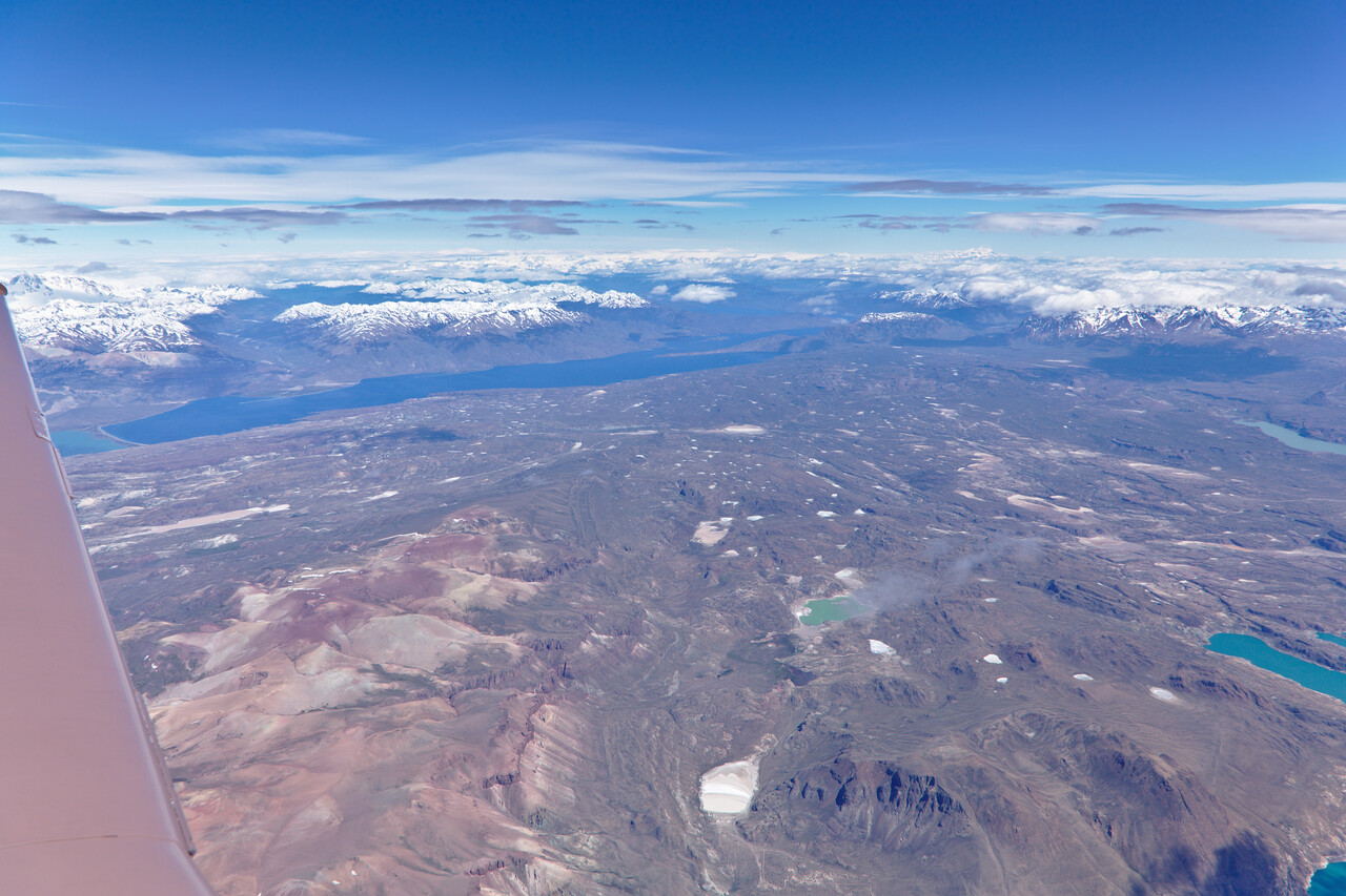
We continued the flight as there were no good en-route alternates. Later we read out the engine data and it turned out that the oil pressure had dropped slowly within half a minute just in the moment I had increased RPM for the climb. We were unsure if we could continue but in Chiloé there is absolutely nothing and the following flights were low risk with many en-route alternates. We didn’t observe an oil consumption above normal level and my theory was that something had blocked the oil pressure relief valve, maybe a particle. We inspected the oil filter very thoroughly when we did an oil change a few flights later (see below), but there was absolutely nothing except for the usual small carbon particles which disintegrate when you rub them with your fingers. I thought about removing the oil pressure relief valve for inspection, but it is safety-wired to the accessory case and very hard to reach so I didn’t do it. We sent an oil sample to the lab as always, and the values were completely normal.
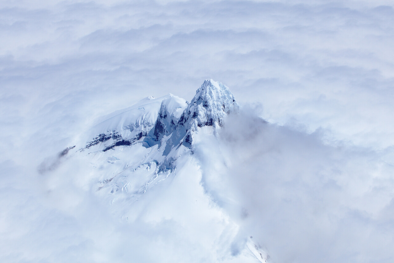
We hadn’t been to Chiloé before and it turned out to be a really nice place. We rented a car and drove around the island for a few days. The countryside as well as the small towns were really lovely.
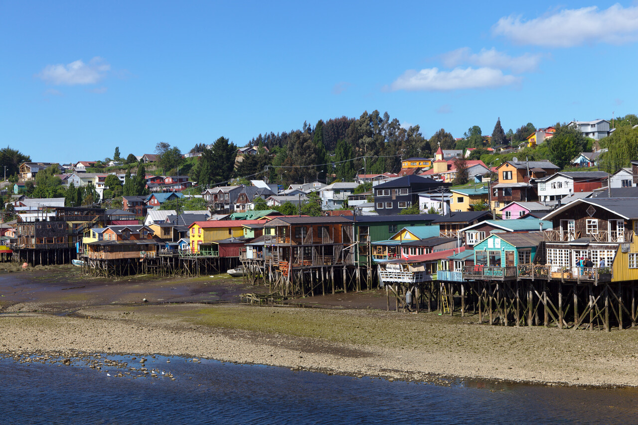
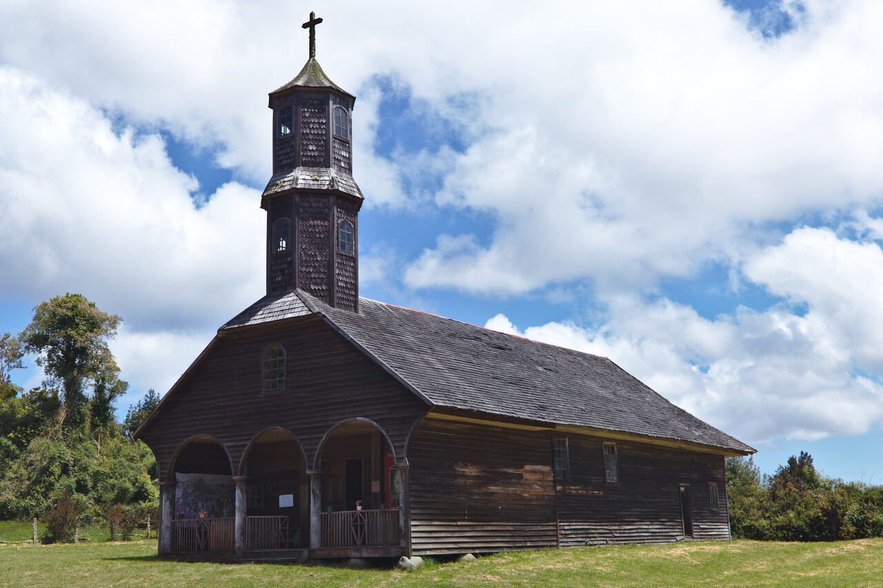
The island is famous for its wooden churches. A few of them have made it to the UNESCO world heritage list.
Our next stop was Osorno in the southern part of Chile’s lake district which we also hadn’t visited before.
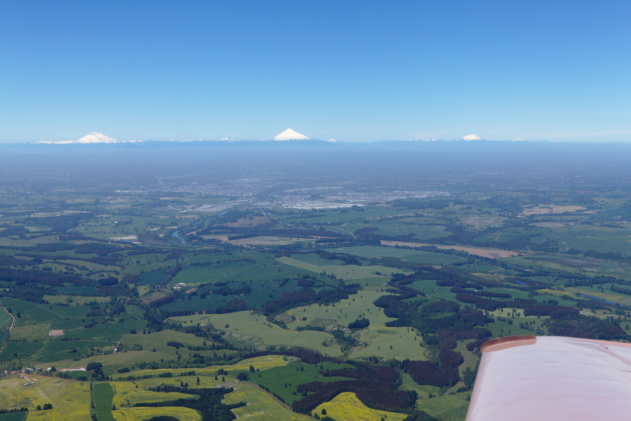
Weather was good and we had a few wonderful days for hiking and visiting several national parks. The lakes are surrounded by small towns founded by German settlers. The German style houses make a funny contrast to the volcanoes in the background.
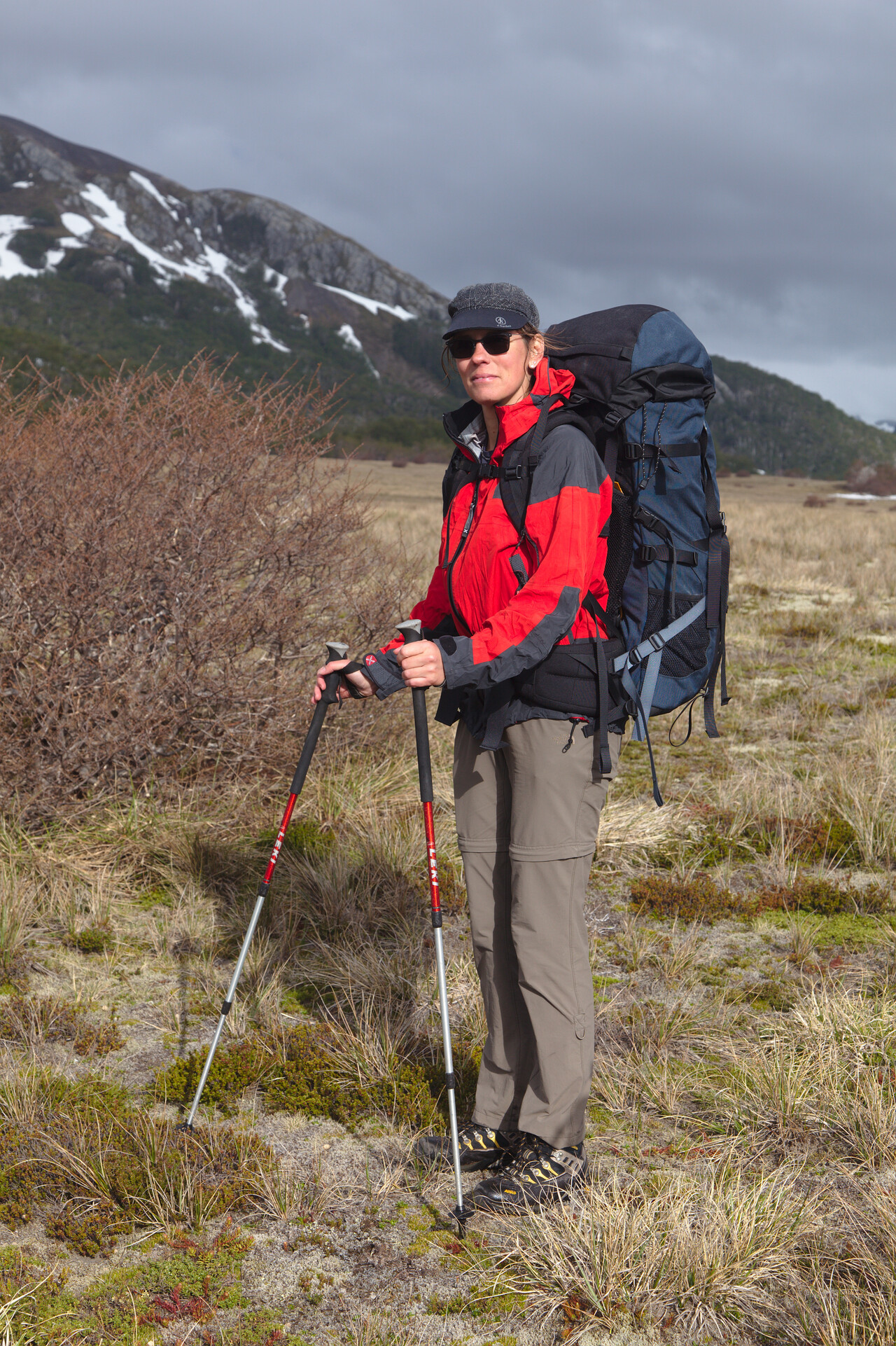
We had been to the capital of Santiago a couple of times before, but it’s a pleasant city so we flew there next.
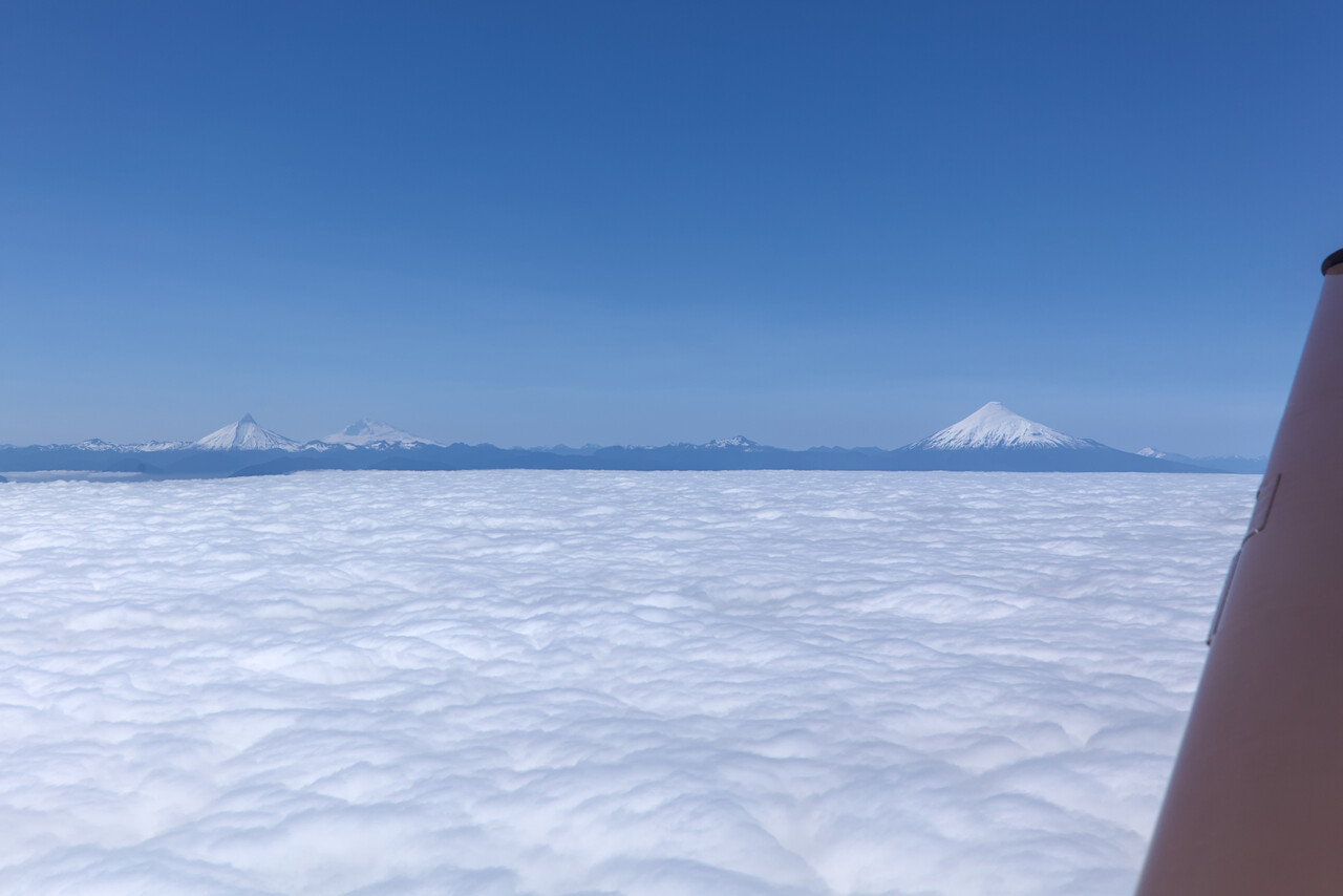
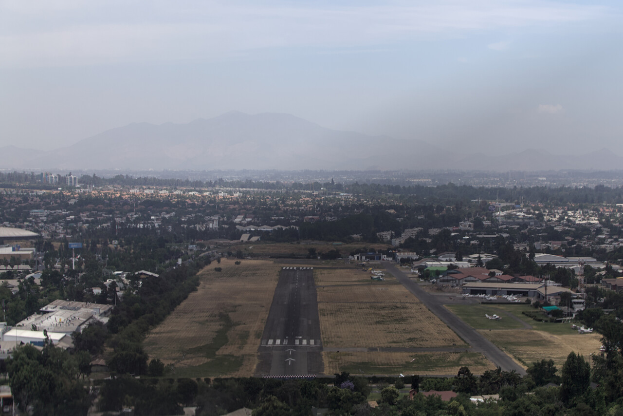
We landed at SCTB, a GA field close to the center of the city. It is operated by the Aero Club of Santiago and resembles a country club. There is a fine restaurant on site, tennis courts and a huge swimming pool. A lot of full-time staff in corporate shirts was around, and again nobody was interested in two pilots from Europe, but at least there were no fees.
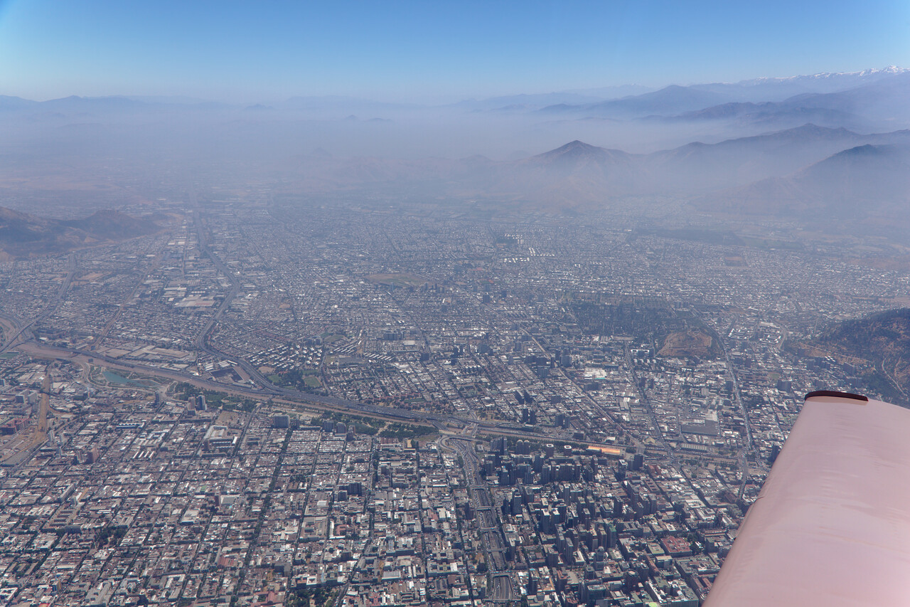
We spent a day in the city and had dinner in a restaurant we like a lot and which we knew from previous visits. However, two nights were enough and we continued to La Serena.
In La Serena we had organized to do the oil change mentioned above. It worked out fine. Directly after landing we were greeted by three guys in high vis and pulled into an open hangar.
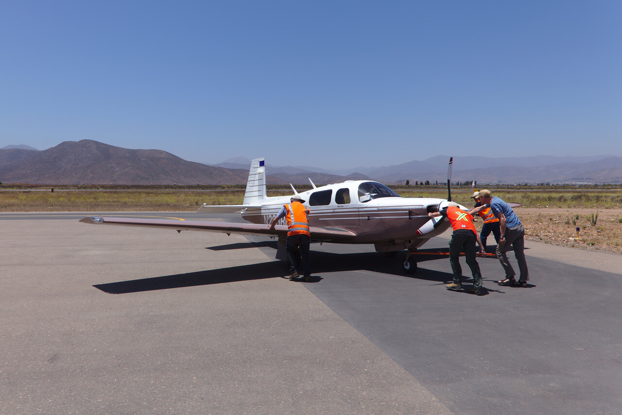
We changed the oil in no time and I visually inspected the engine once the cowling was off. I found nothing I didn’t like.
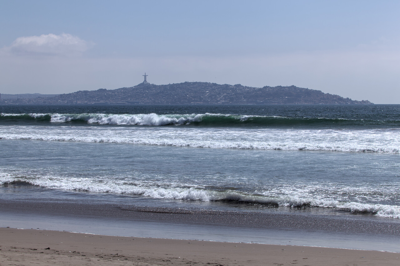
La Serena is a beach-front town and nice for a day but the Pacific is very cold and the surf is huge, so it’s not good for swimming.
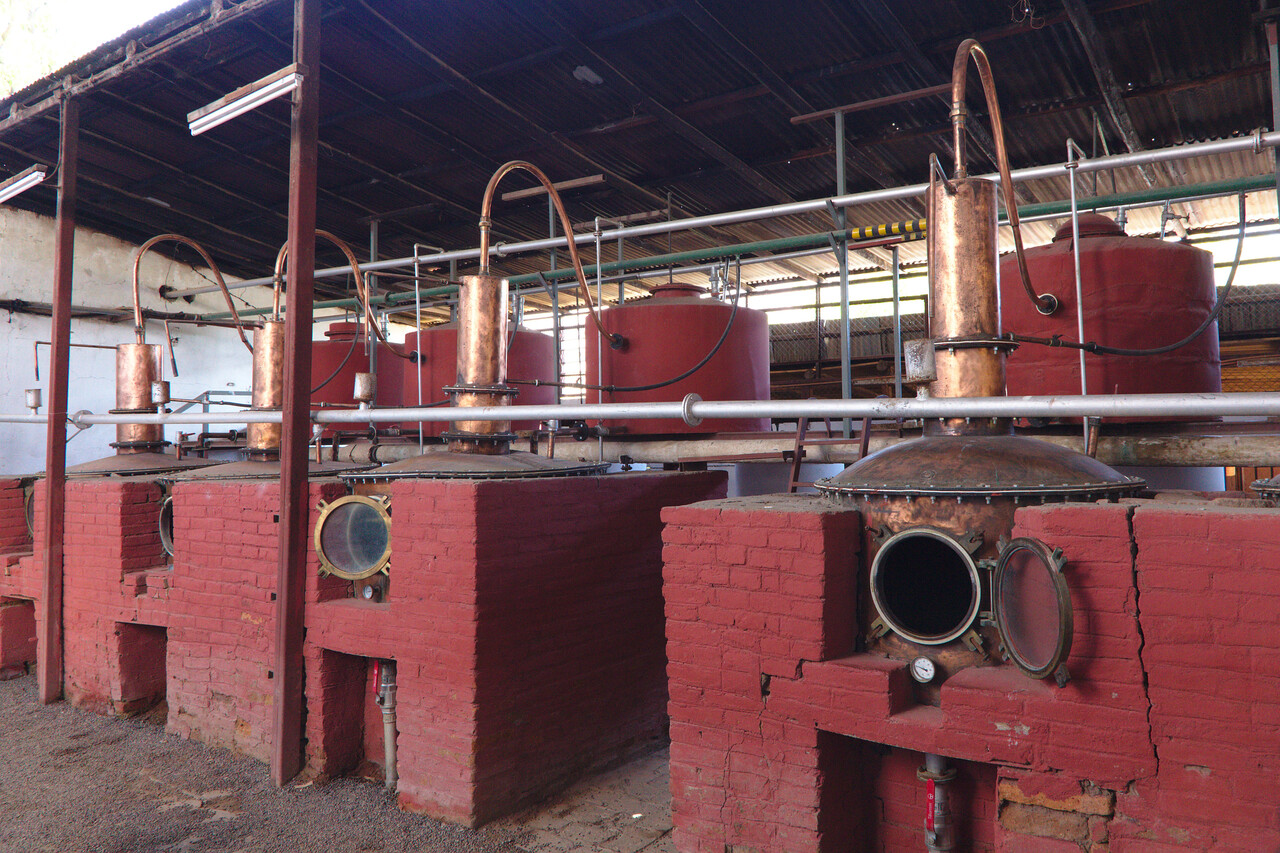
Inland from town there is a valley where grapes are grown. They are not used for wine (well, in the first step they are), but for Chile’s national drink, the grape brandy Pisco. Distilleries can be visited and their products tasted.
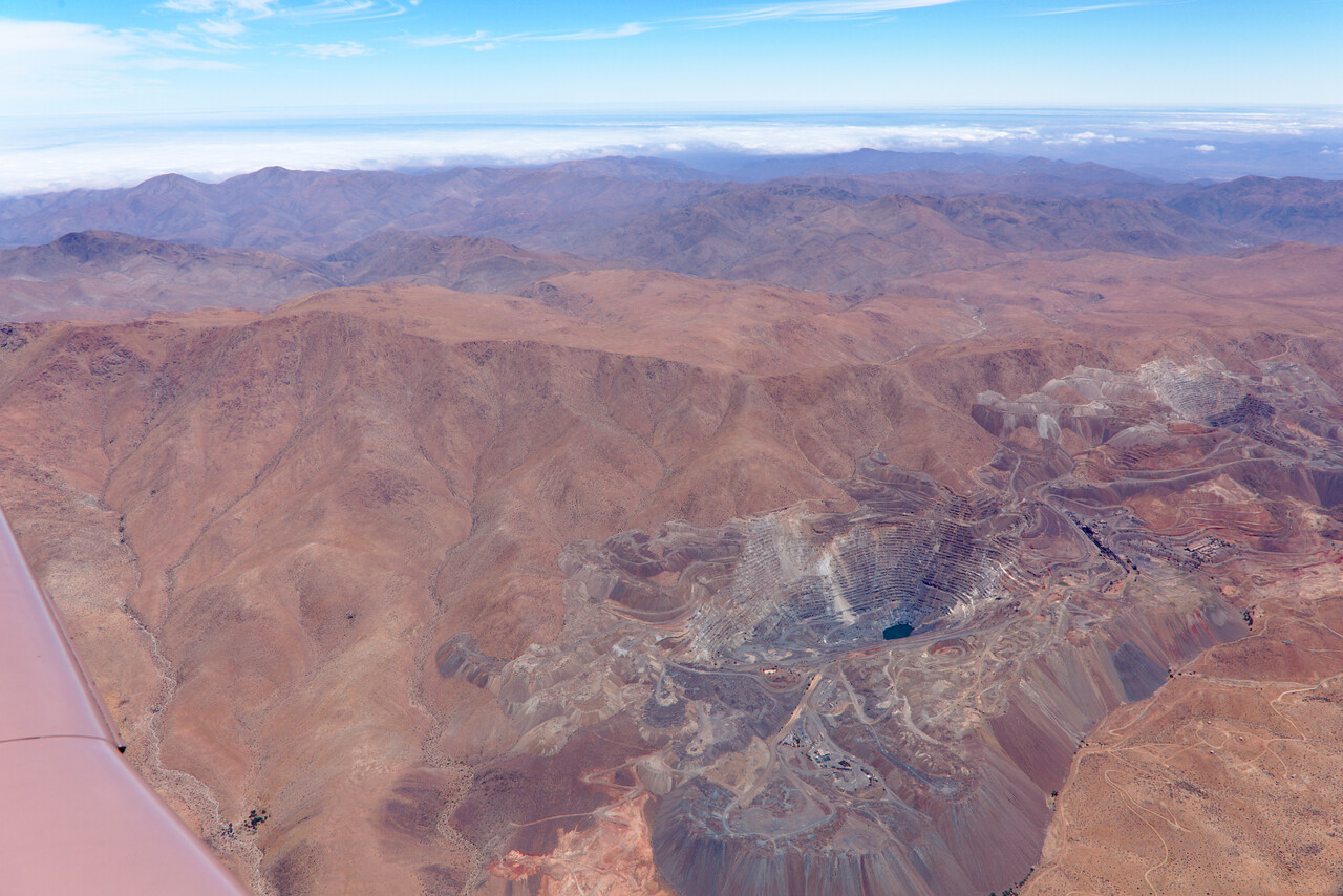
Our next stop was Copiapó in the Atacama desert. The airport’s official name even is Desierto de Atacama. The town is nothing special but the surrounding desert landscape is spectacular.
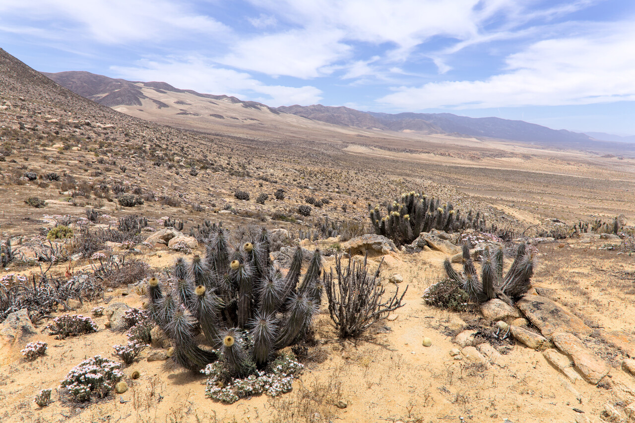
Our final stop in Chile was Arica on the Peruvian border which again is a desert town.
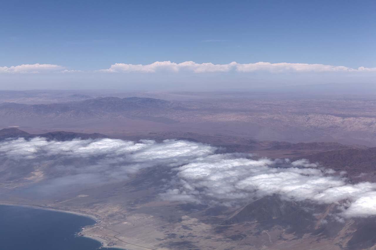
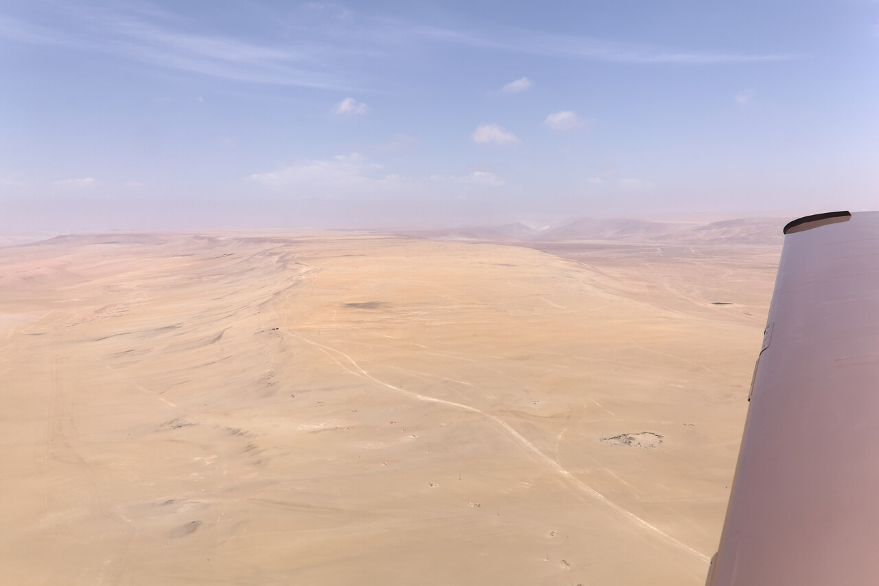
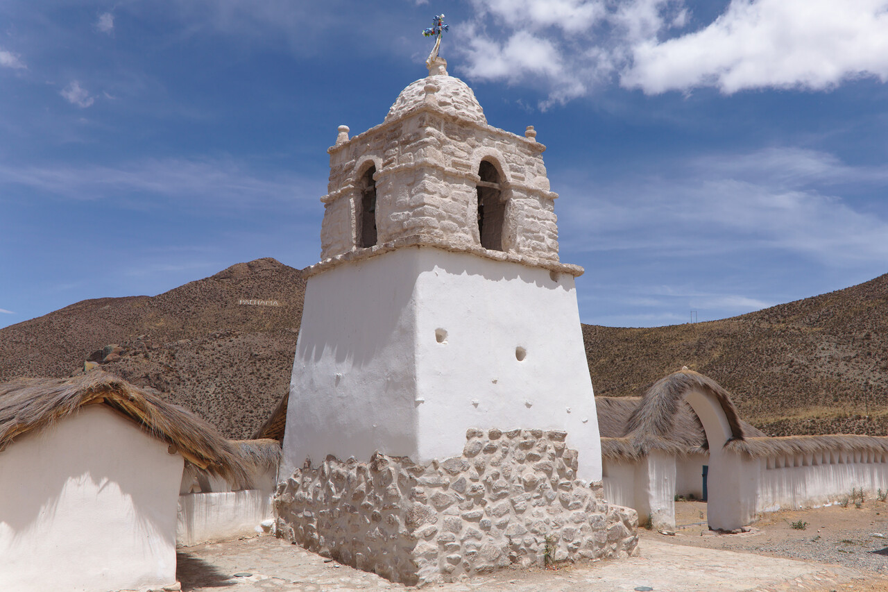
We took a rental car again and visited the hinterland for three days. There are a few remote villages only reachable on gravel roads where some colonial churches remain.
We had to extend our stay in Arica by two days as it proved to be very hard to get the permit to fly to Peru.
West Coast and Central America
Since we reached South America we were tourists travelling with a Mooney but after leaving Chile our mode of traveling changed a bit. Until Mexico it was more like a lazy ferry flight with some tourist activity sprinkled in. The countries we had to cross are much less GA friendly as the ones before. Inflexible permits are required, fees are sometimes steep and we had to contract handling in two places.
Permits
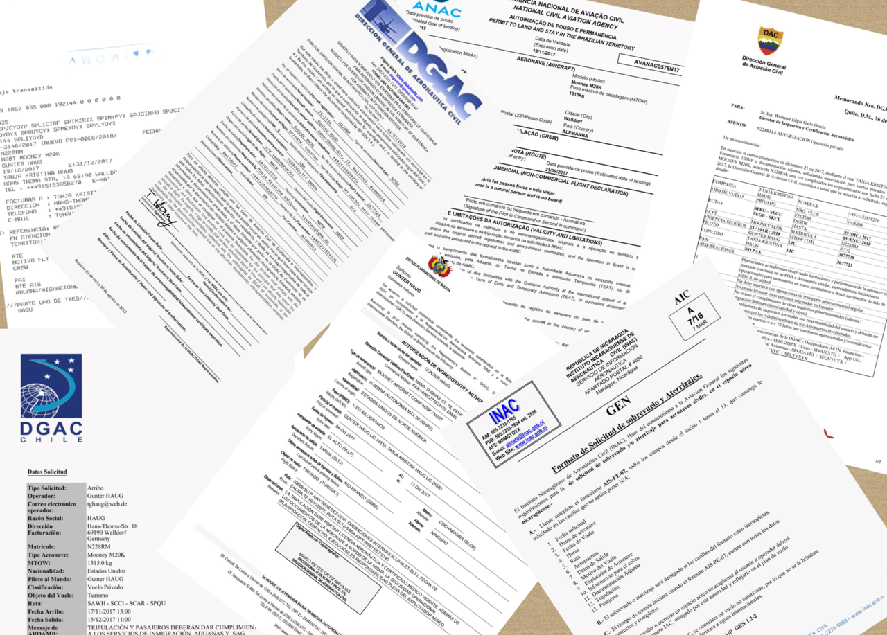
We had decided not to use one of the service providers to obtain the required permits, but to do it by ourselves. Not so much to save money (that’s never bad, however) but rather because we saw it as part of the challenge. Moreover, we felt we would be more flexible dealing with the authorities directly instead of going via a proxy.
By far the hardest part for each country requiring a permit was to get in contact with a person in charge. Our first source of Information was the Jeppesen South America Airway Manual (EAWM). For some of the countries the AIP is online for others not, but that makes little difference as EAWM as well as the AIPs are completely unreliable. Literally not a single of the email addresses we found there worked. You always have to find out the correct Hotmail or Gmail address of the person in charge and this can only be done by phone. However, the phone numbers in the AIPs and the EAWM usually don’t work either. A good way was to type these numbers into google to find the person behind it. Sometimes we were able to find the department and other contacts there. Otherwise the only chance was to call the relevant CAA and be prepared to get handed over almost a thousand times. Once the right person could be found, they were always friendly and happy to tell us their email address.
For some countries finding the right contact was the only difficult thing. For others this was just the beginning of the struggle. It’s hard not to start drinking by mid-morning while trying to get a permit and I really don’t know how these service providers manage to do it without having a workforce of alcoholics!
Peru
Peru was the first one and probably the hardest one. One has to complete an MS-Word document here with the intended route to apply for a permit here. This has to be sent to the Peruvian CAA by email. We had no intentions to fly to the Andes or the Peruvian Amazon as it’s rainy season in December, but all of Peru’s Litoral is coastal desert and no problem weather-wise. We had traveled Peru intensively before but thought there would be a few places we would like to visit again, so we applied for a route.
Our first intended stop was Arequipa in the Andean foothills, but after a few days we got the reply that this was located at an elevation of 8000 feet and not feasible for a single engine plane. We argued that we had been to La Paz at almost 14000 feet with that plane but didn’t get any reply to that. After a while we asked again and were told that our request had to be processed by the technical department and it might be better to file a different request with an alternative route.
We tried with Nazca, where the famous geoglyphs are. We had seen them 15 years ago from a 172 and thought it might be nice to see them from our own plane. This time the reply was that we can’t fly to Nazca because it’s not connected to an airway. Our argument that we could fly VFR and would not need an airway apparently went unheard.
Our next idea was Lima. However, in parallel to our application we contacted the airport and learned that we would need handling. We called a handling agent but he was so honest to say that if we were in our right mind we would steer well clear of Lima. He didn’t know if he could provide parking and if so, it would have been prohibitively expensive.
Our last intended stop in Peru was Trujillo (SPRU), already in the north of the country. As there was apparently no place they wanted us to land in the south we sent yet another application for a permit to fly from Arica in Chile (SCAR) to Trujillo. This time we got the rejection with the reasoning that this was too far and too dangerous with a single engine plane. Our reply that a five hour’s flight over a coastal desert with an autonomy of nine hours and an airport at least every 60 nautical miles didn’t impose any undue risk proved to be fruitless again. We had to land in Pisco (SPSO) in southern Peru. We had been to Pisco before and if there was a place in Peru we certainly didn’t want to visit again it was Pisco. By this time we had spent days on this and we really didn’t feel like arguing anymore.
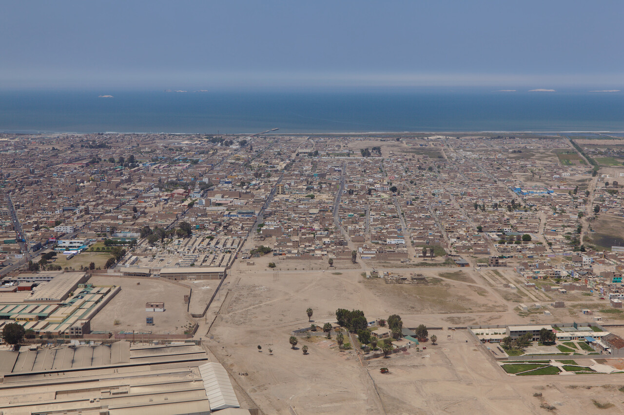
When we filed for Pisco, we learned from the officer in the ARO in Arica, Chile and an Argentinean jet pilot that the Peruvians always act like this – for unknown reasons. We made our completely useless landing in Pisco after two and a half hours and payed 180 Dollars on handling just to continue for two and a half hours more to Trujillo.
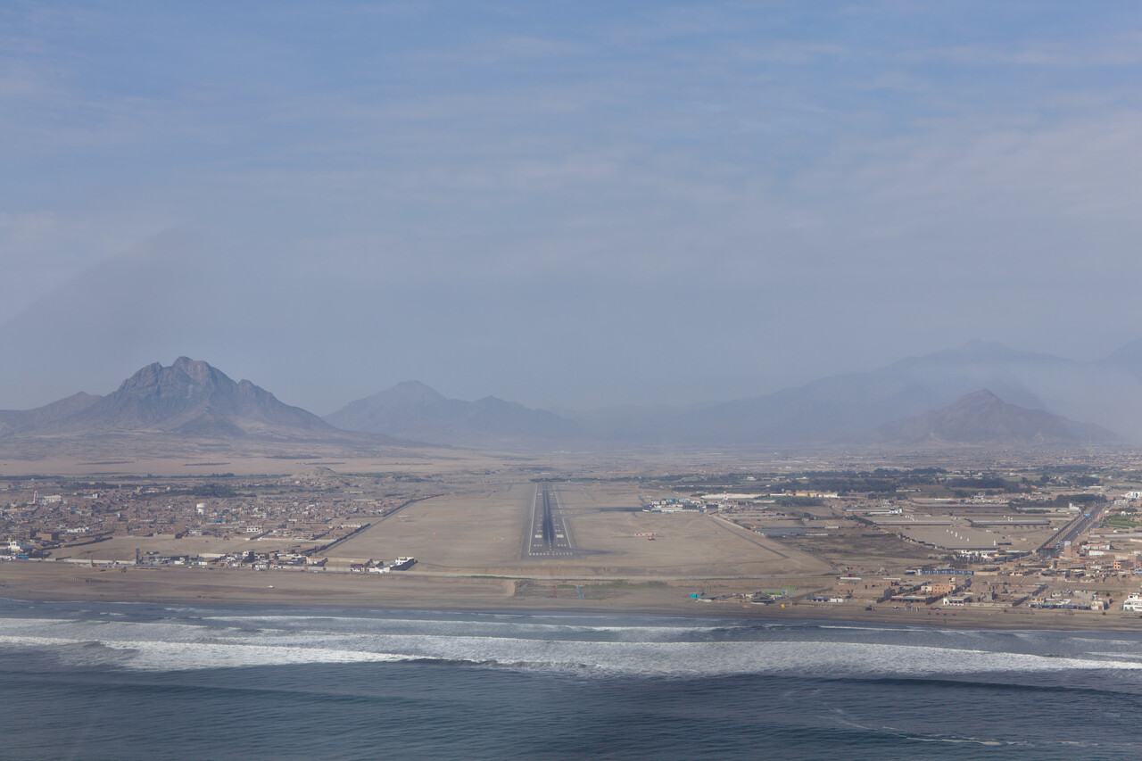
Fuel was affordable at about 1.20€, probably all over Peru. However, we had to pay an airway fee of about 130€ to cross the country in its complete length. Parking for five days in Trujillo was about 80€ while landing fees are negligible. ATC around Lima spoke English, further north we tried once, but they simply replied in Spanish.
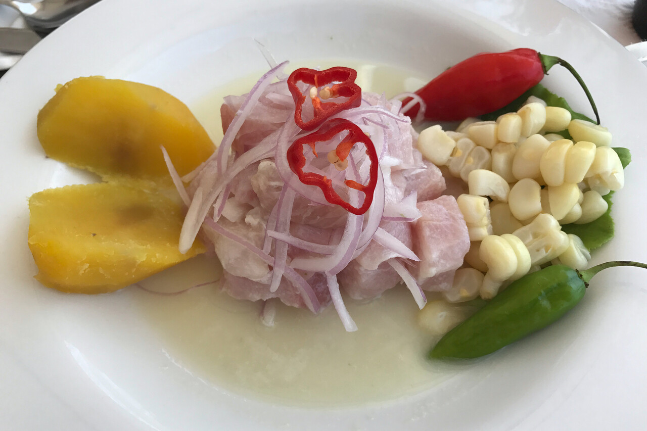
Trujillo is not a bad place at all. The city itself features a wealth of colonial buildings many of which have been nicely restored. Moreover, there are quite a few archeological sites scattered around Trujillo that are well worth visiting. Last but not least Peruvian cuisine is considered one of the best in South America. We had to stay over Christmas here, but it could have been worse.
Ecuador
Ecuador has only on airport where Avgas as well as customs/immigration is available: Guayaquil (SEGU) – so it was clear that this would be our port of call. Here it was particularly difficult to find the right contact to apply for the permit. According to the Jeppesen EAWM and the AIP the process could be completed via email, but not even the internet SLD of their CAA (called DGAC, of course) was correct in either document. We spent a busy day before Christmas to find the right telephone number. Once we had that getting the permit was not much of a problem.
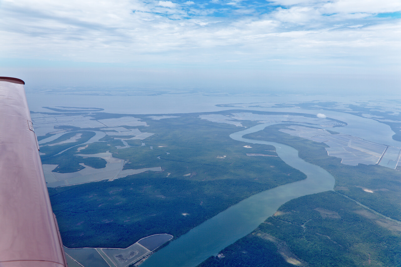
SEGU is a huge international airport where we had to contract handling and it was by far the most expensive place we have been so far. Handling was 450 Dollars, but at least the service provided was OK. Landing fee was 120 Dollars and parking for a week came to 140 Dollars. At least fuel was cheap at about 1.10€ per liter.
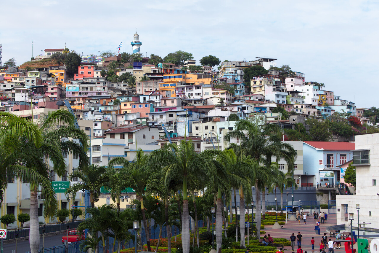
We arrived on boxing day and according to our guide book new year’s eve was a huge party in Guayaquil so we decided to spend it there. We took a minibus to the lovely mountain town of Cuenca where we spent the remaining days. The minibus broke down with an electric problem on the way but a mechanic from a nearby village was able to fix it. The journey took five instead of three hours, but well…
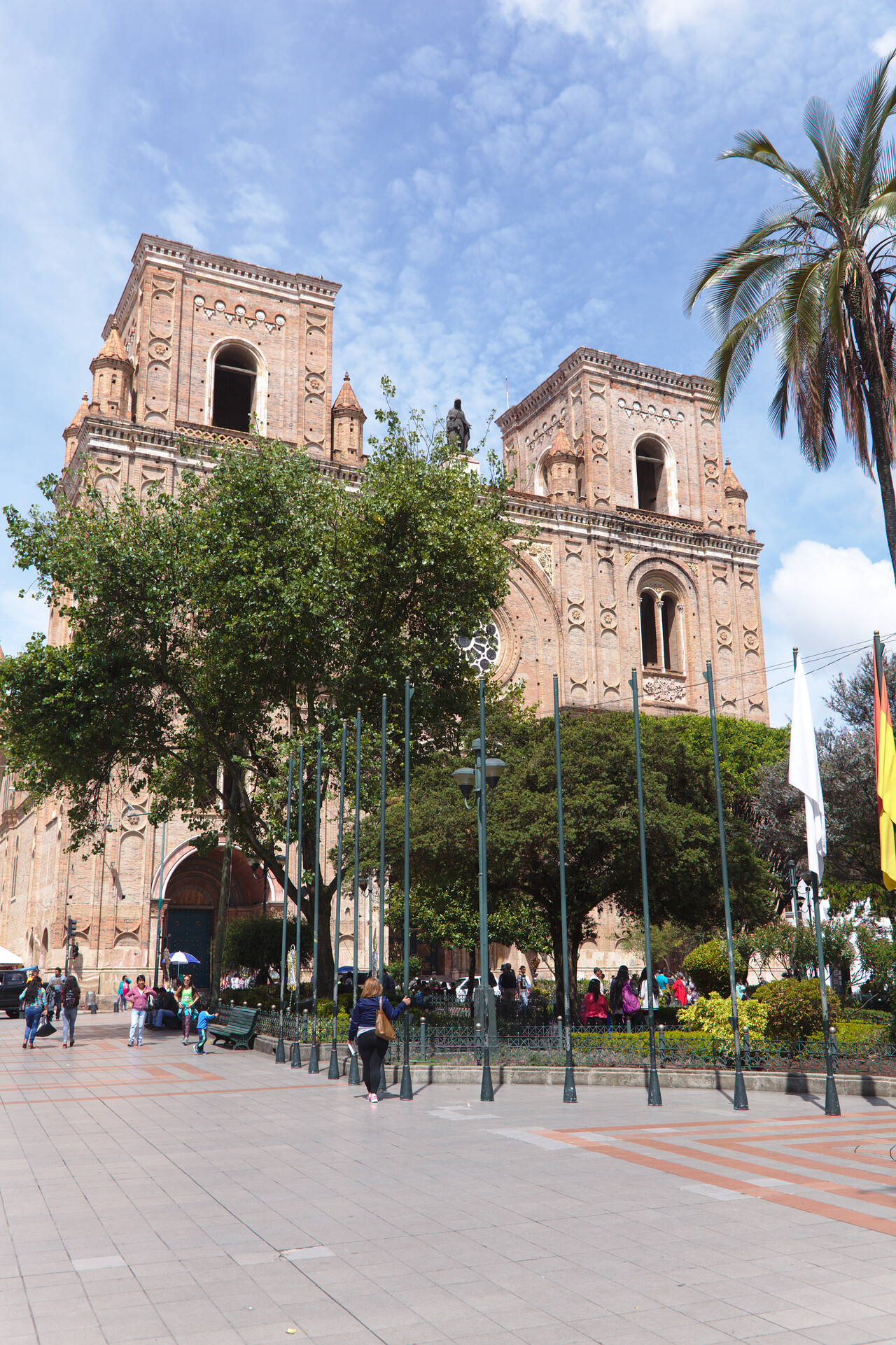
There are quite a few colonial buildings remaining in Cuenca as well and there are the Inca ruins of Ingapirca not too far away which we visited, unfortunately in less than perfect weather.
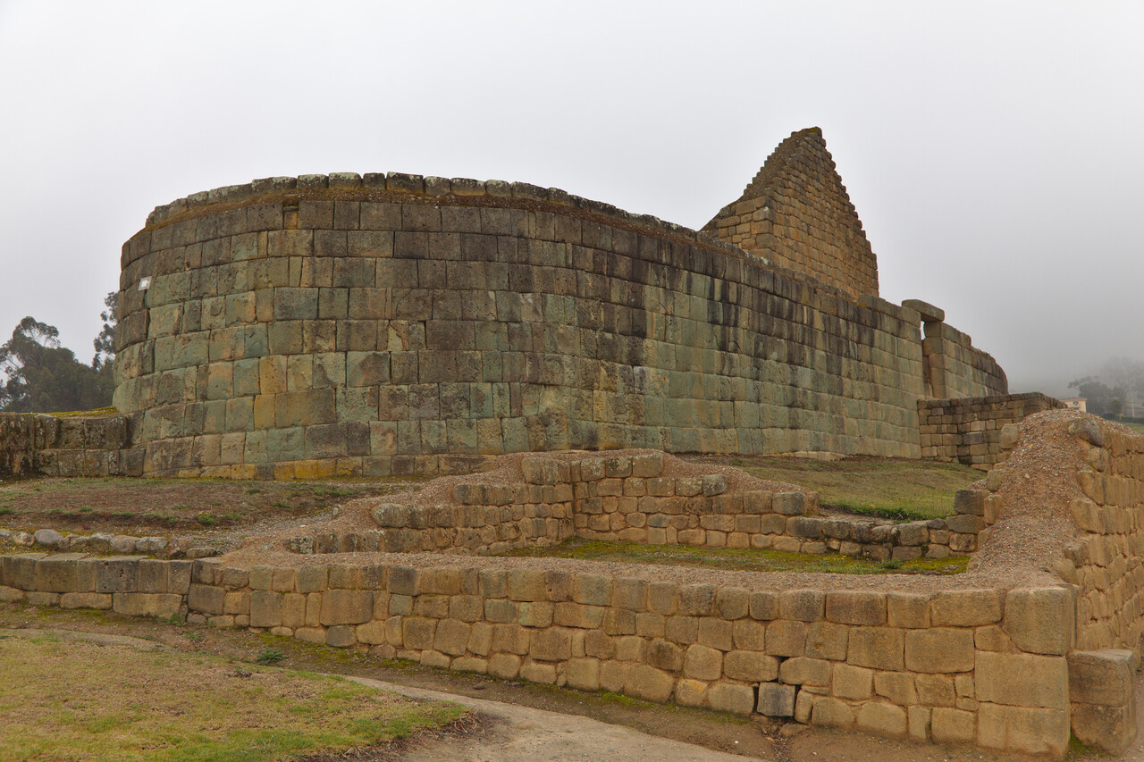
However, the ruins of Ingapirca and a few in Cuenca itself are a far cry from what can be found in Peru (say Machu Picchu or Cuzco). Anyway, it was a nice outing and the food we had on the way was at least as spectacular.
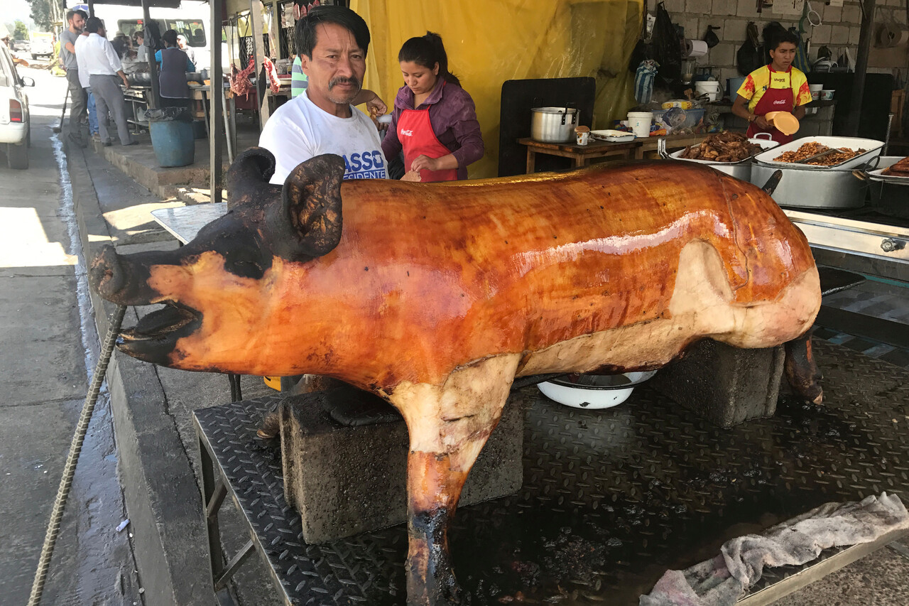
Unfortunately the new year’s eve party in the streets of Guayaquil was not as good as expected. But at least it was warm and there was music.
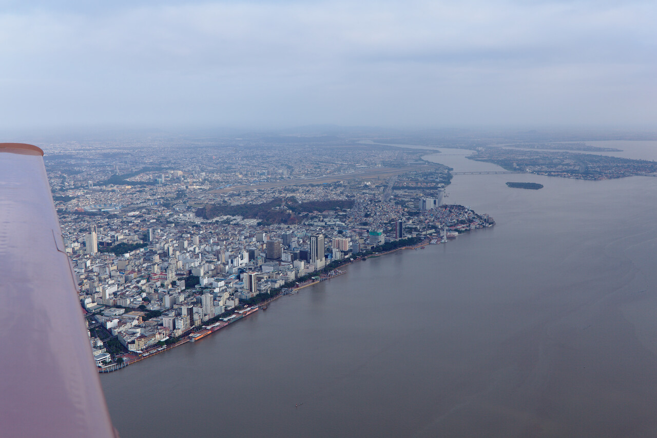
Columbia
We had problems with Columbia as well, but this time we screwed up ourselves as well. We found an email address where we inquired but there was no response. Much later we found out that there actually was a response but Columbian authorities didn’t hit REPLY but tried to type in the address and messed up. This address was valid too and the owner took the time to trace down the problem and forward the mail, but only a week later.
The Columbian regulations state that no permit is required if one stays less than 48 hours. We actually thought about staying there for a few days but as there was no reply from the authorities we discussed staying in Cali (SKCL) for just a night. Looking at the charts again we found that we could overfly Columbia and head for Panama directly. We checked the weather forecasts (we had to cross the ITCZ again) and decided to give it a go.
We filed a flight plan with RocketRoute and almost immediately got a message stating that we had no overfly permit for Columbia! We checked the AIP and EAWM and it was true: an overflight requires a permit while landing with a stay of less than 48 hours can be done without!
We tried to get a permit on short notice, but the Columbian authorities were not very helpful. We sent all the documents and one of the first replies was that we were not insured because in the certificate of insurance there was a space between the N and the 2 of our tail number while in the registration there wasn’t!
We gave up and filed for Cali. However, this time we were determined to get along without contracting handling. Cali is a large airport and after landing we had to park on the international ramp. From there it was easy to get to the terminal on foot and complete the immigration process. After that we had to return to the plane and taxi to the cargo ramp. We refueled and left airside through a door close to our stand. We had to walk for almost two kilometers back to the terminal where we tried to have a dry run of all the processes we would have to go through the next morning.
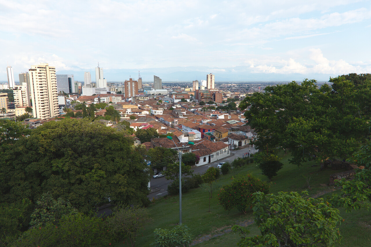
Cali turned out to be a pleasant city. Of course, we didn’t get in touch with people except for taxi drivers, waitresses and so on, but the ones we met were probably the most friendly in all of South America. We deemed it too risky to plan for a 48 hour stay, so we filed for the next morning to have the second day as a buffer in case the weather would be a problem.
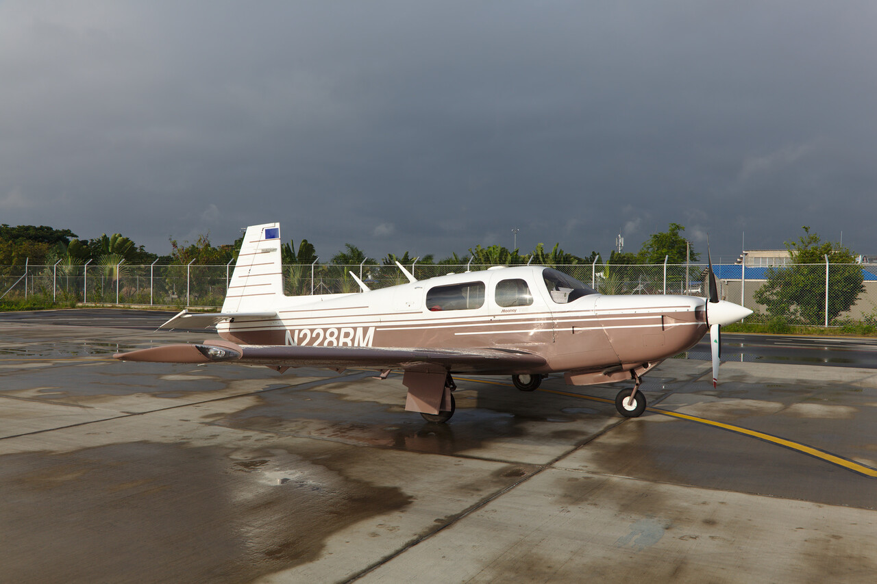
The next morning we took a taxi to the airport. We had the driver drop me at the door of the cargo ramp before 6 AM while Tina went to the terminal. Of course the guard wouldn’t let me in but Tina went to the operations office and convinced the guy in charge there to instruct the guard to let me in. I taxied to the international ramp again and could get to the land side to meet Tina. In the meantime she had been able to pay the fees (less than 70€) and collect all of the stamps required (four IIRC) except for one. Together we could get this as well and we were ready to pass through immigration again and we were good to go. We were airborne before 8 AM local time!
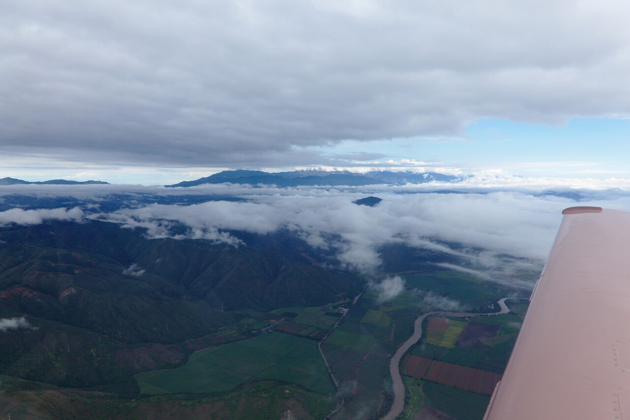
The weather wasn’t perfect for our flight to Panama. Already in the early morning it was quite convective and there were showers to circumnavigate.
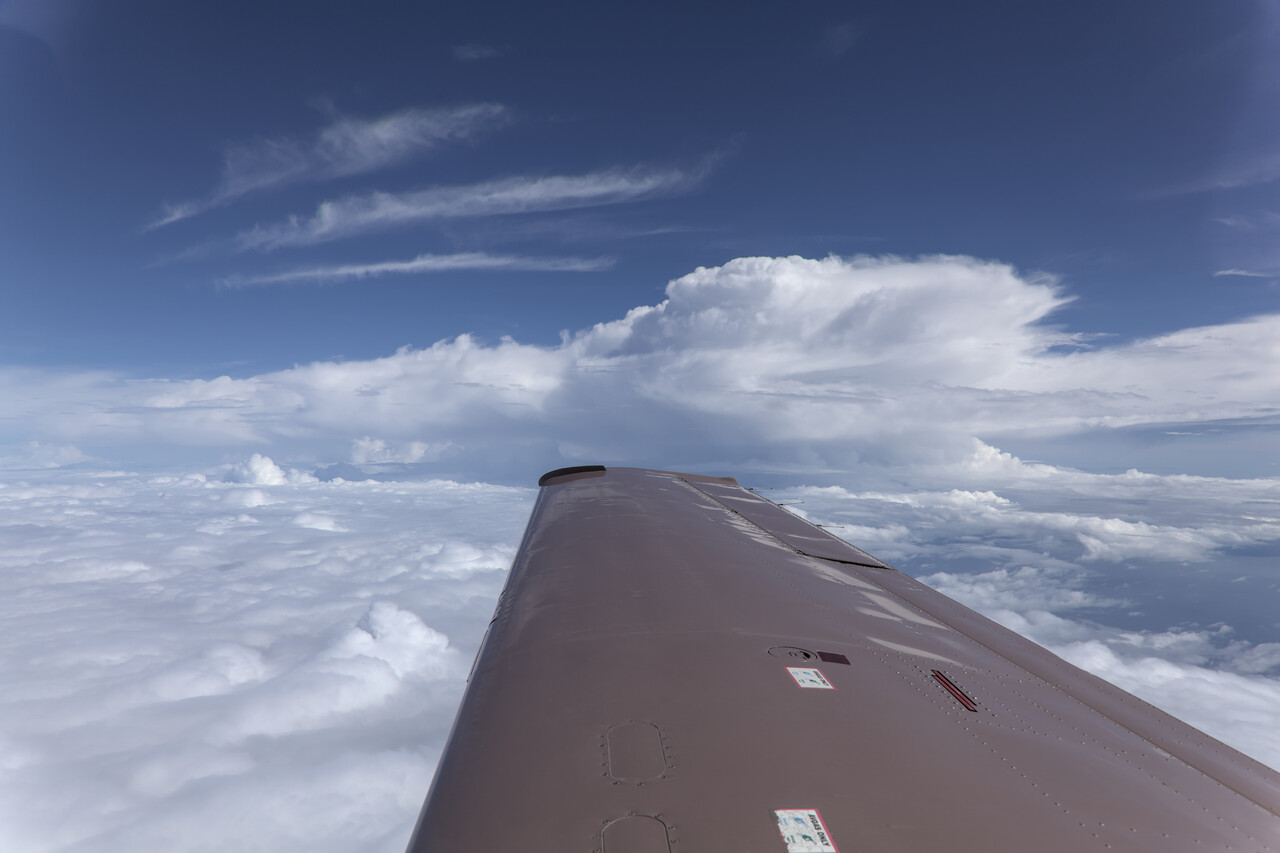
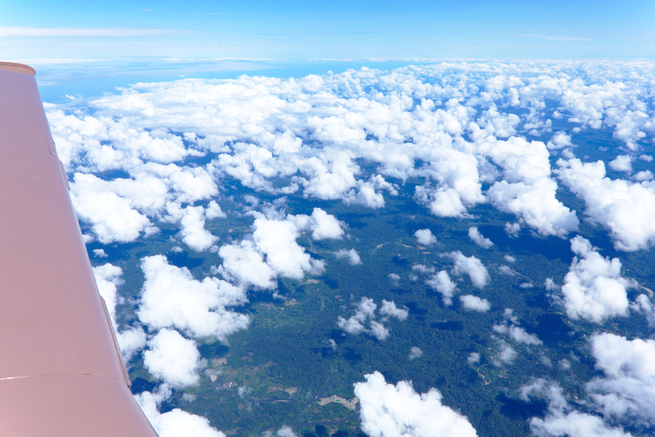
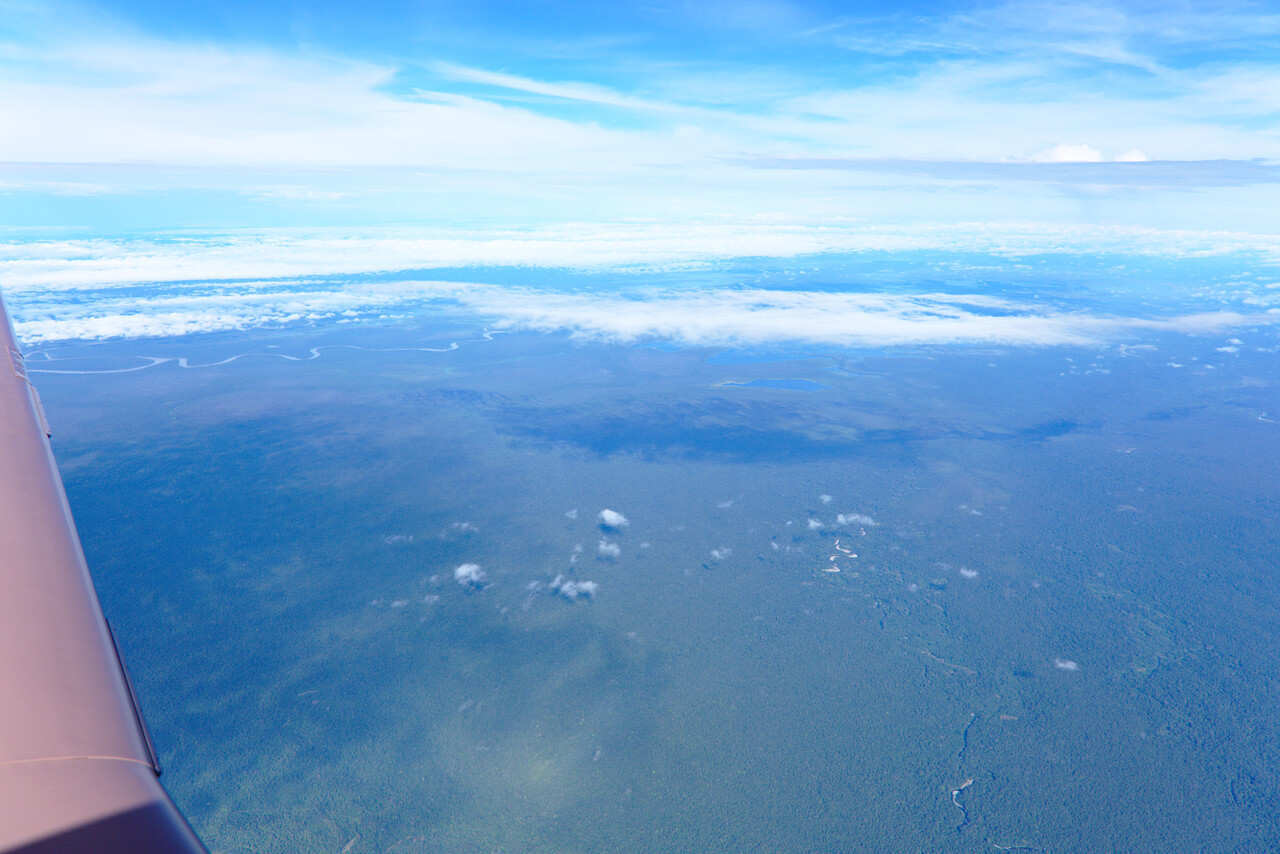
However, there was also nice weather in between and we learned that large parts of Columbia are covered with dense jungle.
Panama
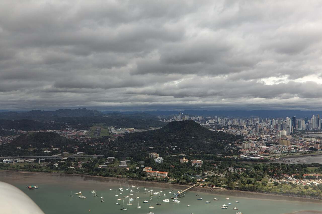
Panama was easy again. A permit is required, but it’s rather a PNR process via a web form. It immediately results in a permit number. There is an airport close to Panama City (VFR only) which is used by GA and some domestic flights, where we landed at. The approach turned out to be very scenic despite the mediocre weather.
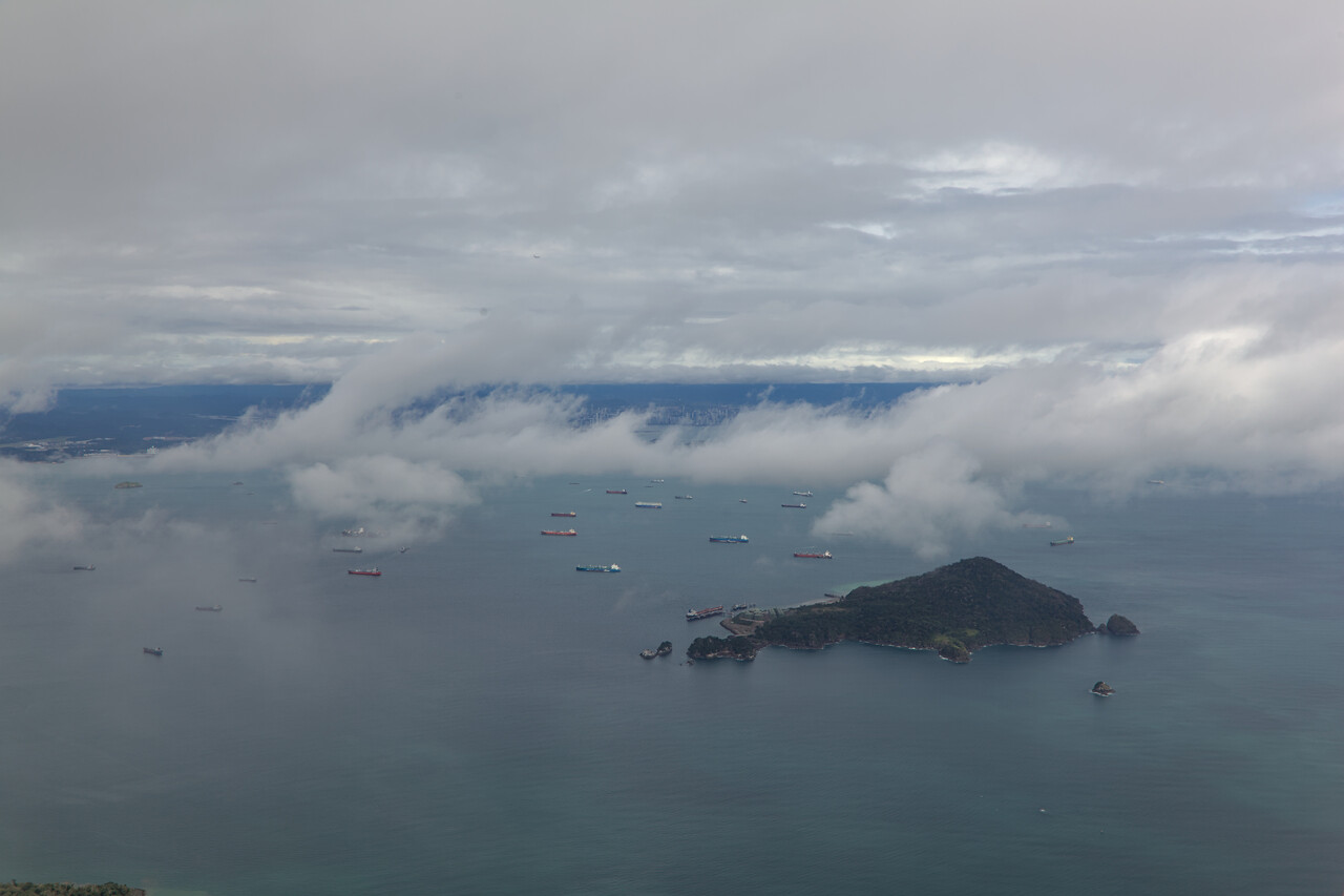
There are two hills left and right of the approach path and with a crosswind of twelve knots it was quite bumpy already. This probably gets interesting with stronger winds.
We had crossed the Panama Canal on a cargo ship 15 years ago and it was a lot of fun to finally see the locks and all the ships passing by from the other side. So we took a few days to explore the area.
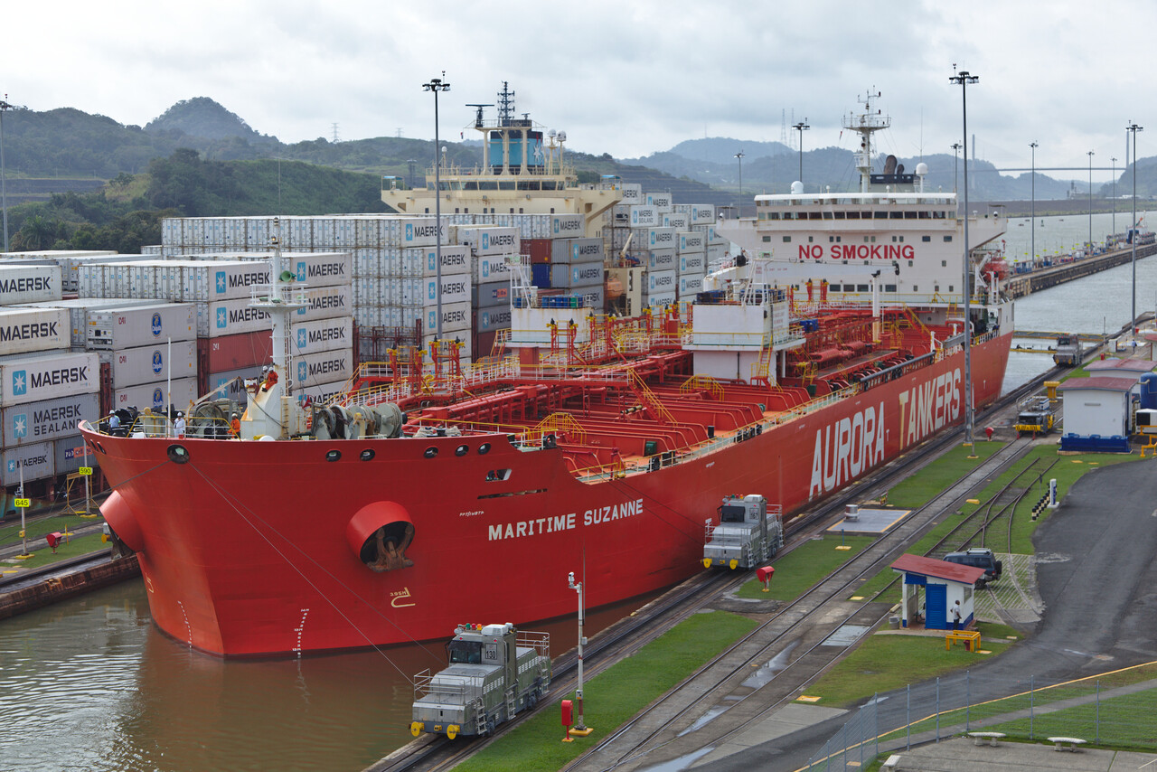
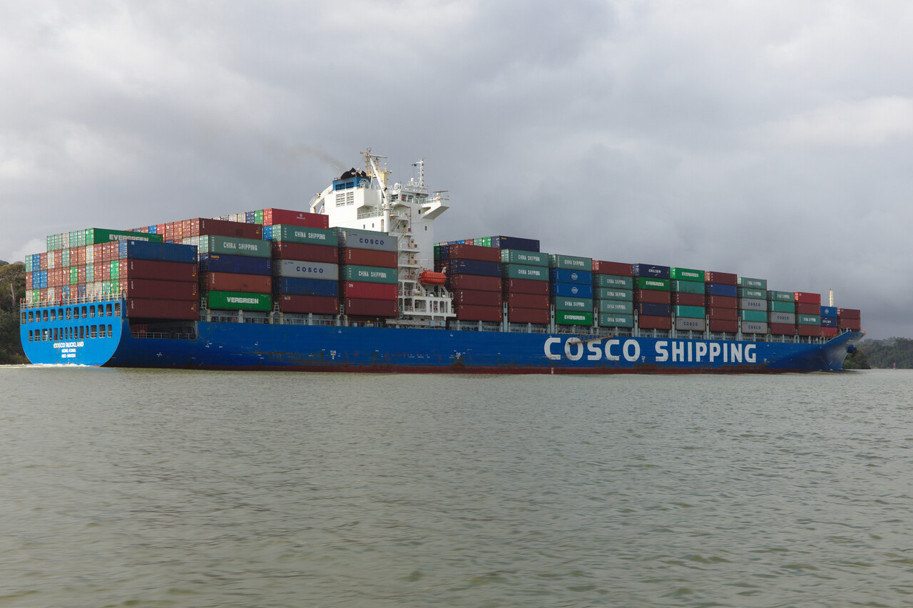
Fees were about 90 Dollars including four days parking and handling is not required. We found the people in Panama to be not as friendly as in other counties of Latin America. However, English is widely spoken and ATC was excellent. Anyway, Panama is a beautiful country and it is certainly worth exploring.
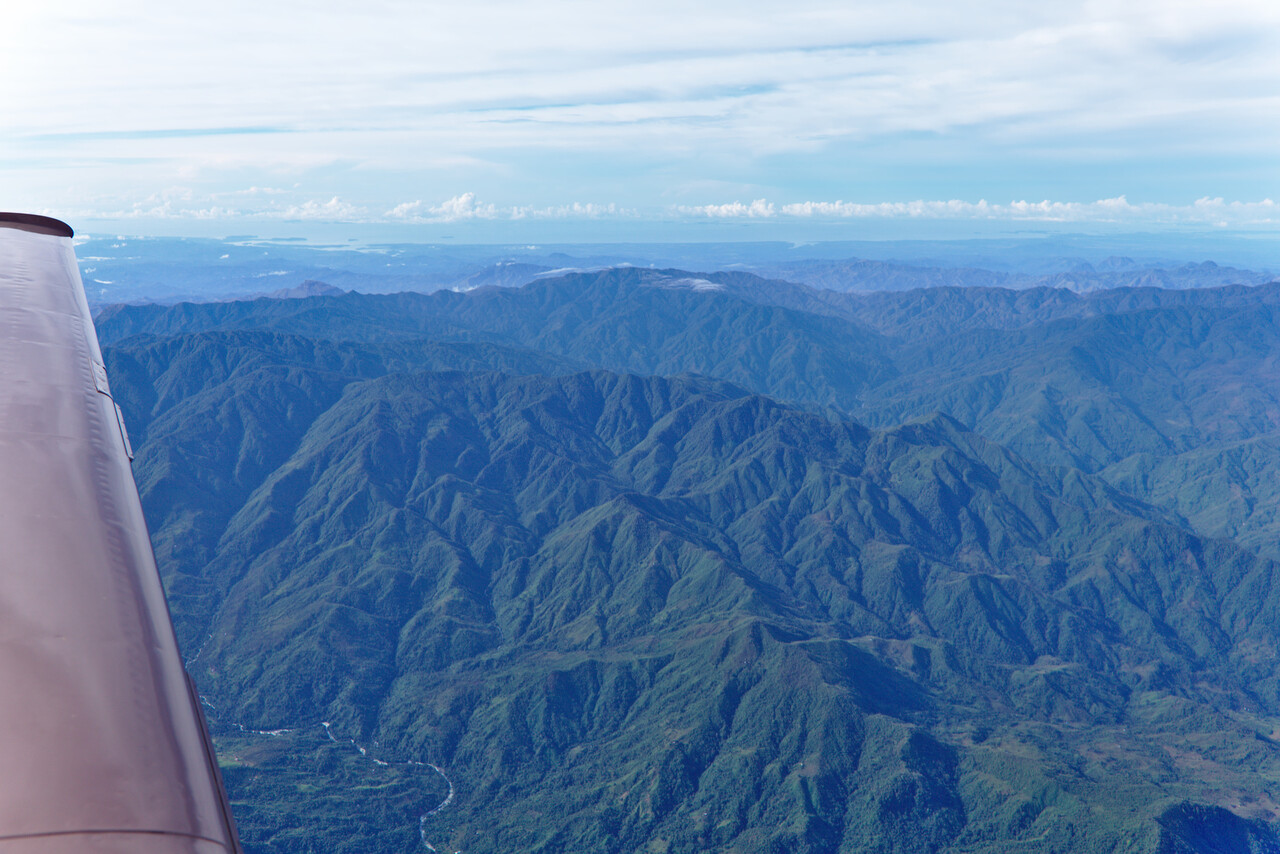
Costa Rica
Costa Rica doesn’t require a permit but it’s expensive. In fact it’s so expensive that we only stayed one night. Again this is a shame as it is a beautiful country as well.
We flew to Liberia (MRLB), where contracting handling is mandatory. But not only the handling agent is expensive, parking for 24 hours with a Mooney costs 180 Dollars, plus landing fees, of course! However, this was one of the rare cases where we had a good experience with the handling agent: not only did they provide an excellent service, but they also gave us a discount although we hadn’t asked for one. We had agreed to their quote of 200 Dollars but we only had to pay 185. Still not cheap but certainly a way to get happy customers.
Inspection for drugs was extremely thorough in Costa Rica. Two policemen approached us on the ramp. They were very friendly and apologized for what they had to do, but they really took it seriously. We had to unload all luggage and they opened all the bags and checked what was in. Then they took a look at our plane. After inspecting the cabin they asked what was inside the tail cone. I offered to open the cover which is attached with a few camlocks. Then they looked under the wing and found that the inspection covers looked manipulated. We told them that they had to be opened once a year and that’s why the screws don’t look brand new. They asked if I could open one. Reluctantly I agreed but made it clear that I would not open all of them but they could choose one. They found the deal OK and pointed to the one where the aileron servo is under. This was enough for them and we were good to go. Our handling agent found this quite embarrassing and he wasn’t on good terms with the police apparently. With his help immigration and customs was a matter of minutes.
We didn’t see much of Costa Rica and the city of Liberia is really nothing special. However, what we saw on departure the next morning was really lovely.
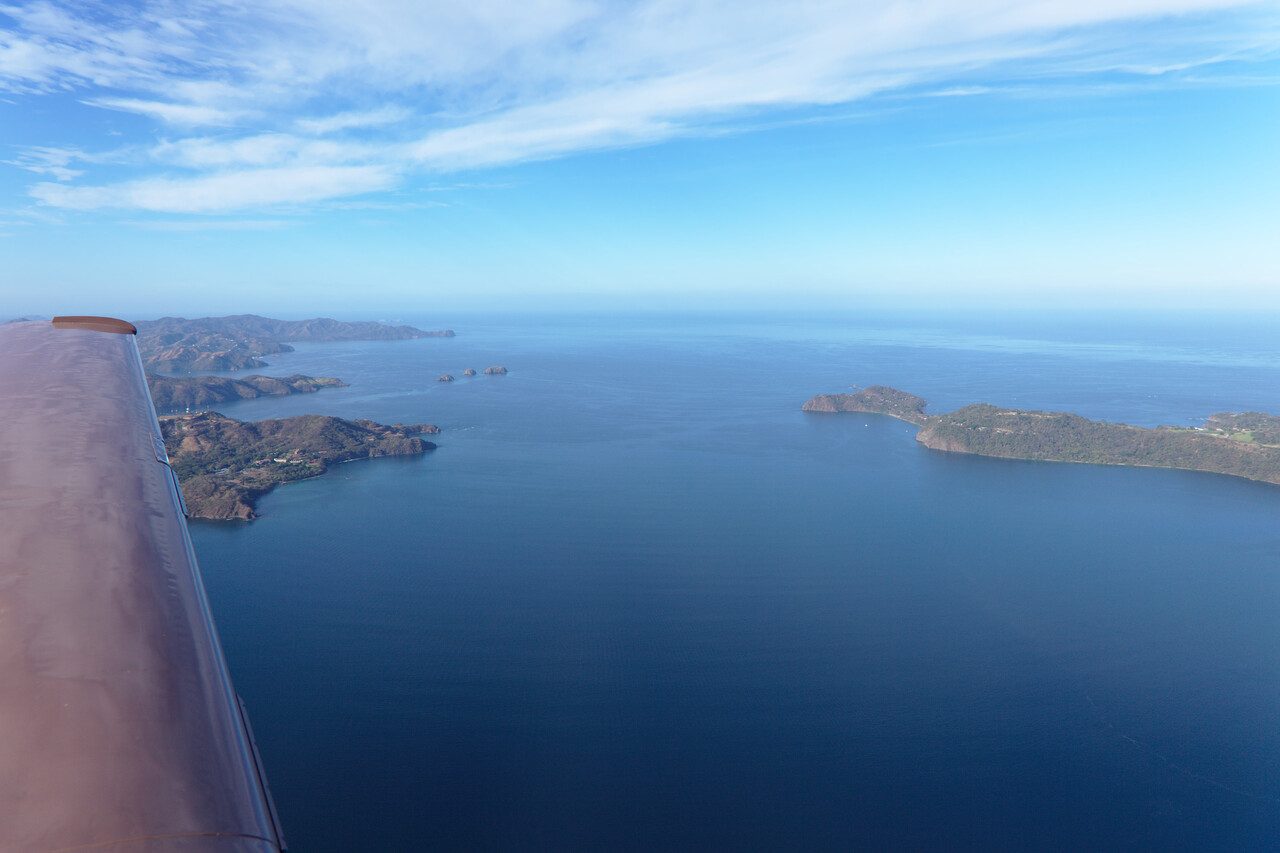
The way to Mexico
To get to Mexico from Costa Rica one has to cross Nicaragua, El Salvador, a tiny bit of Honduras and Guatemala. While a flight plan is sufficient for El Salvador and Honduras, Guatemala and Nicaragua require permits. Both were relatively easy to obtain. Contact numbers in the AIP worked and for Guatemala we received a permit number to put into field 18 on the first try. Nicaragua was a bit more complicated as they require you to transfer 100 US Dollars to their bank account beforehand. As we had done that online well in advance, we received the permit number while we were still in Panama.
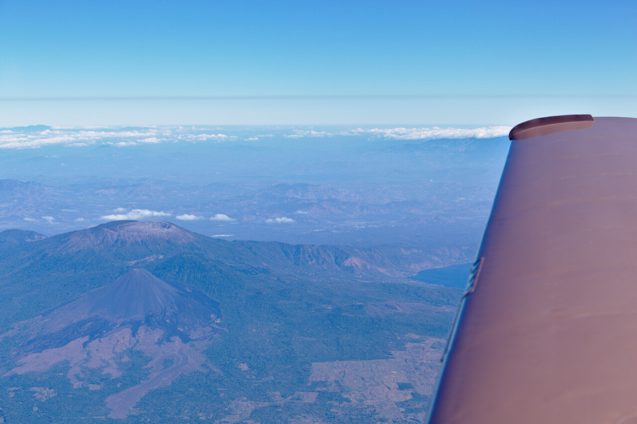
Each of these four countries looked beautiful from above. Unfortunately they are not safe for western tourists currently. Hopefully this changes again, they are certainly worth a visit.
Mexico
After all that permit trouble and (sometimes) high costs since we left Chile we hoped for a more relaxed way of traveling in Mexico – and we weren’t disappointed. As many western governments have issued travel warnings for several regions of the country, we planned our destinations accordingly – what basically meant staying in the southeast. We had never been to Mexico before, so I can’t write anything about other regions or the country as a whole.
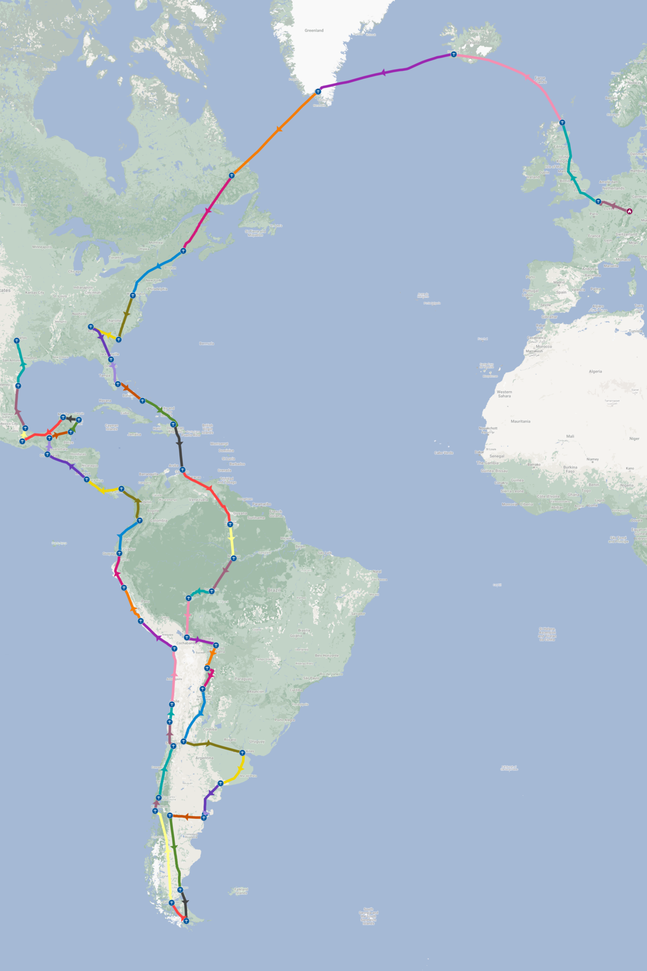
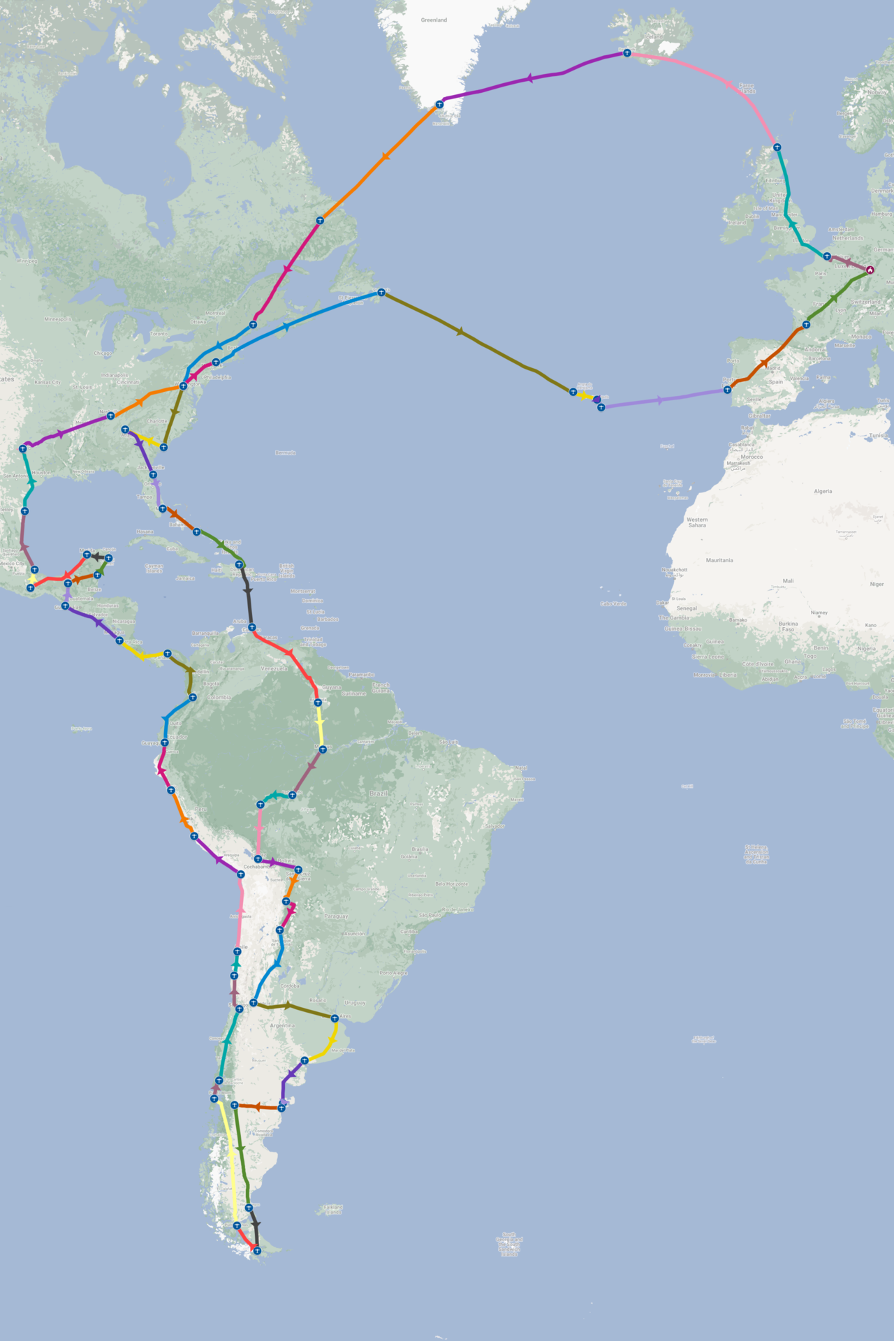
Given the less than perfect security situation in the northern and western parts of Mexico, our selected route was Tapachula (MMTP) – Palenque (MMPQ) – Chetumal (MMCM) – Cozumel (MMCZ) – Mérida (MMMD) – Oaxaca (MMOX) – Veracruz (MMVR).
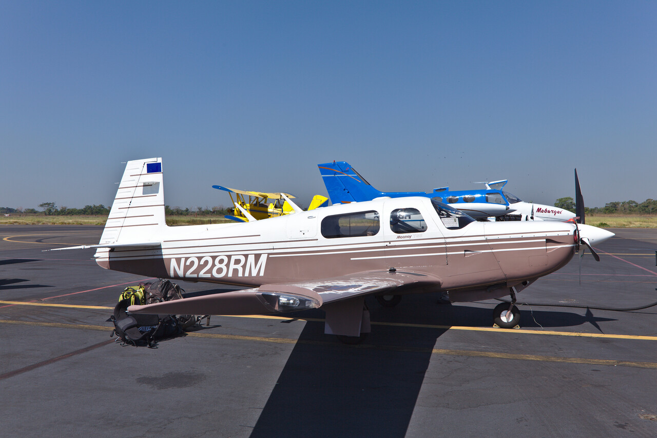
The immigration process already proved that our hopes for less trouble weren’t too high. Customs inspected our luggage thoroughly but the guys were very friendly. They had a dog (like everywhere else) but it couldn’t be convinced to show any interest in our stuff or the aircraft.
Immigration was next, where the helpful and pragmatic attitude of the officials showed again. We had filled in the GENDECs as always – crew only, no passengers. After a little chat the policeman stamped our passports but the stamp allowed us just to stay for seven days. When we said we wanted to stay longer he replied that that’s not possible, crew can only stay for a week. But he said he will call Mexico to solve the problem. This left me confused for a while till I realized that he was talking about Mexico City. The solution the guy in the capital proposed was simple: we had to be crew and passengers at the same time! Just add our names and passport numbers in the respective field of the GENDEC and we could get new stamps valid for 180 days.
Finally we had to get a document called Internación which was available at the operations office. Fees apply for immigration and Internación, but at about 120€ it wasn’t too bad. We could only pay cash in Mexican Pesos, but that was not a problem either, I could go to an ATM in the terminal building while Tina collected all the stamps required from various offices. The whole process took a while but it was all very friendly and straight forward.
No permit is required to overfly or land in Mexico and flying within the country was a very pleasant experience. ATC speaks English (it turned out to be easier to switch to Spanish on the ground though, to clarify where to park etc.) and prices are affordable. Avgas was between 0.80€ and 0.90€ per liter and landing plus parking was about 10€ throughout, almost independent of the duration of the stay. No handling was required except for Mérida where we payed 50€ for the use of the GA terminal. Well, we walked through it basically. Flying was straight forward, though a flight plan is required for foreign aircraft even when VFR. Considering this, we flew one or two legs VFR but the rest IFR.
There is GA in Mexico and we talked to other pilots on the ramp once or twice but didn’t get any closer contact. The regions we traveled are quite touristy and people we met were very friendly, a bit more formal perhaps than in other parts of Latin America.
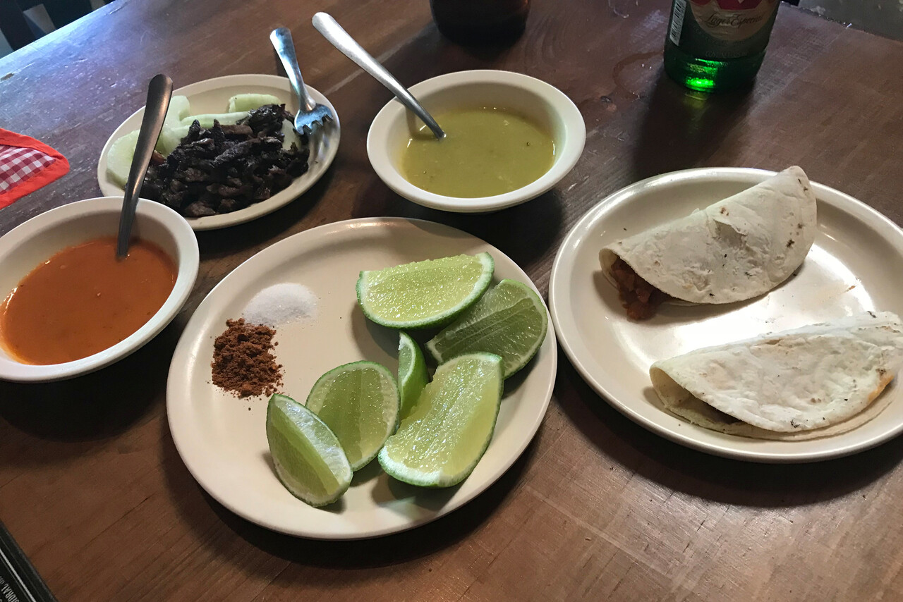
Tapachula wasn’t a destination in its own right but it’s one of only two possible ports of entry when coming from Central America and at least we could sample the famous Mexican food for the first time. Anyway, after a day of rest we left for Palenque.
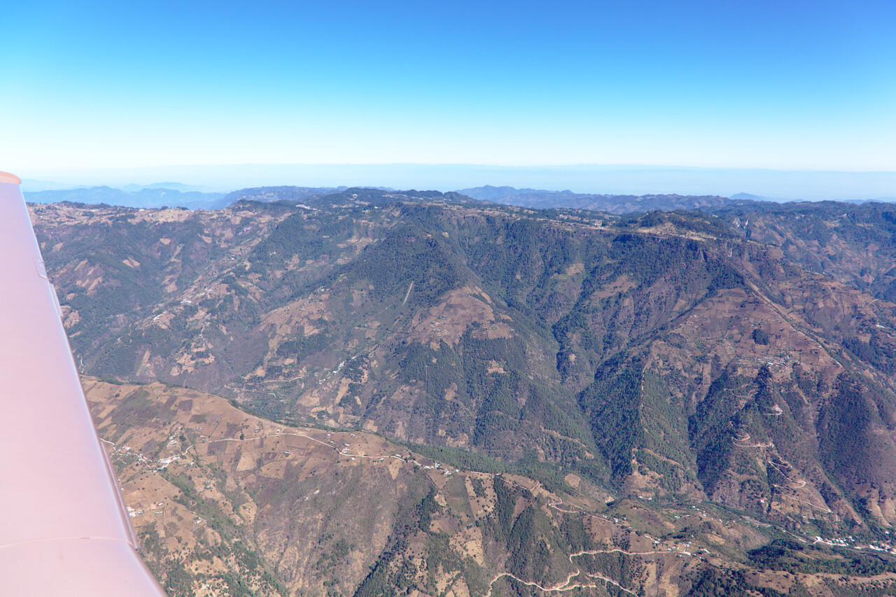
Palenque probably is one of the two most important ancient Maya sites in Mexico, so we made this our first stop after Tapachula. The mountains we had to cross reach over 10000ft and it was a beautiful VFR flight. We even spotted the Palenque ruins during approach.
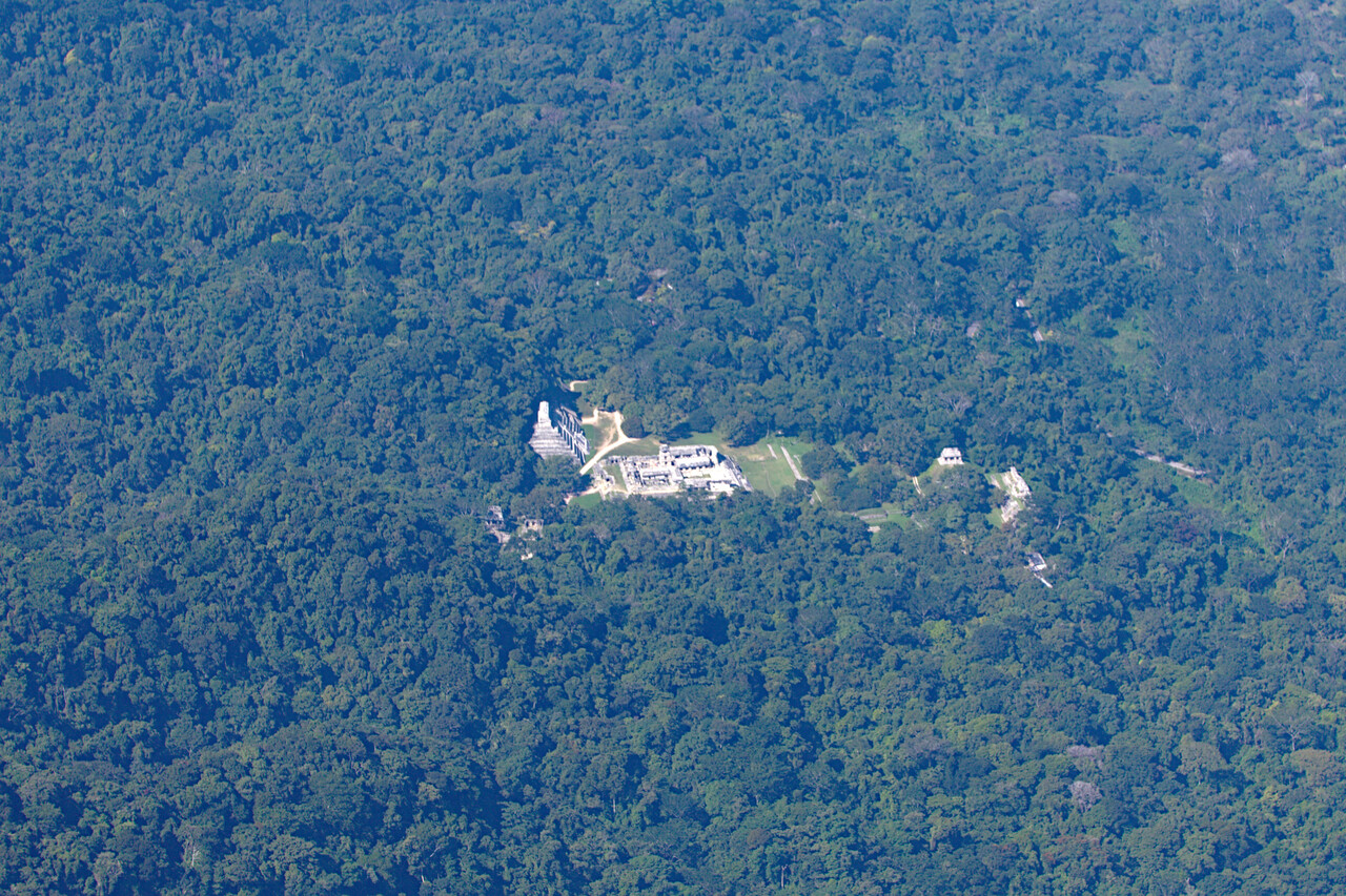
The town of Palenque is nothing to write home about but the ruins are peerless as our guide book put it. They are situated in the final foothills of the central mountains before the plains of Yucatán start and are famous for inscriptions deciphered by archeologists in the seventies and eighties.
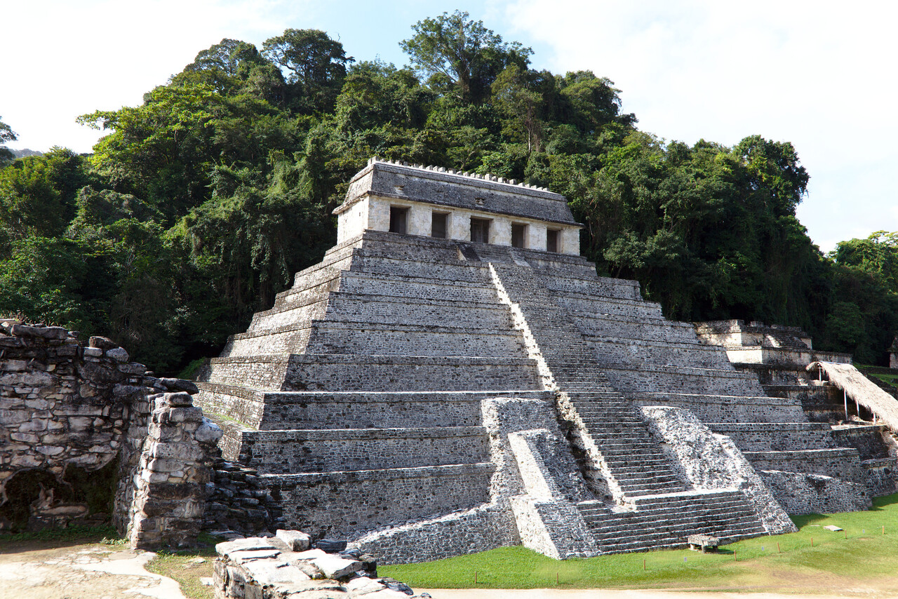
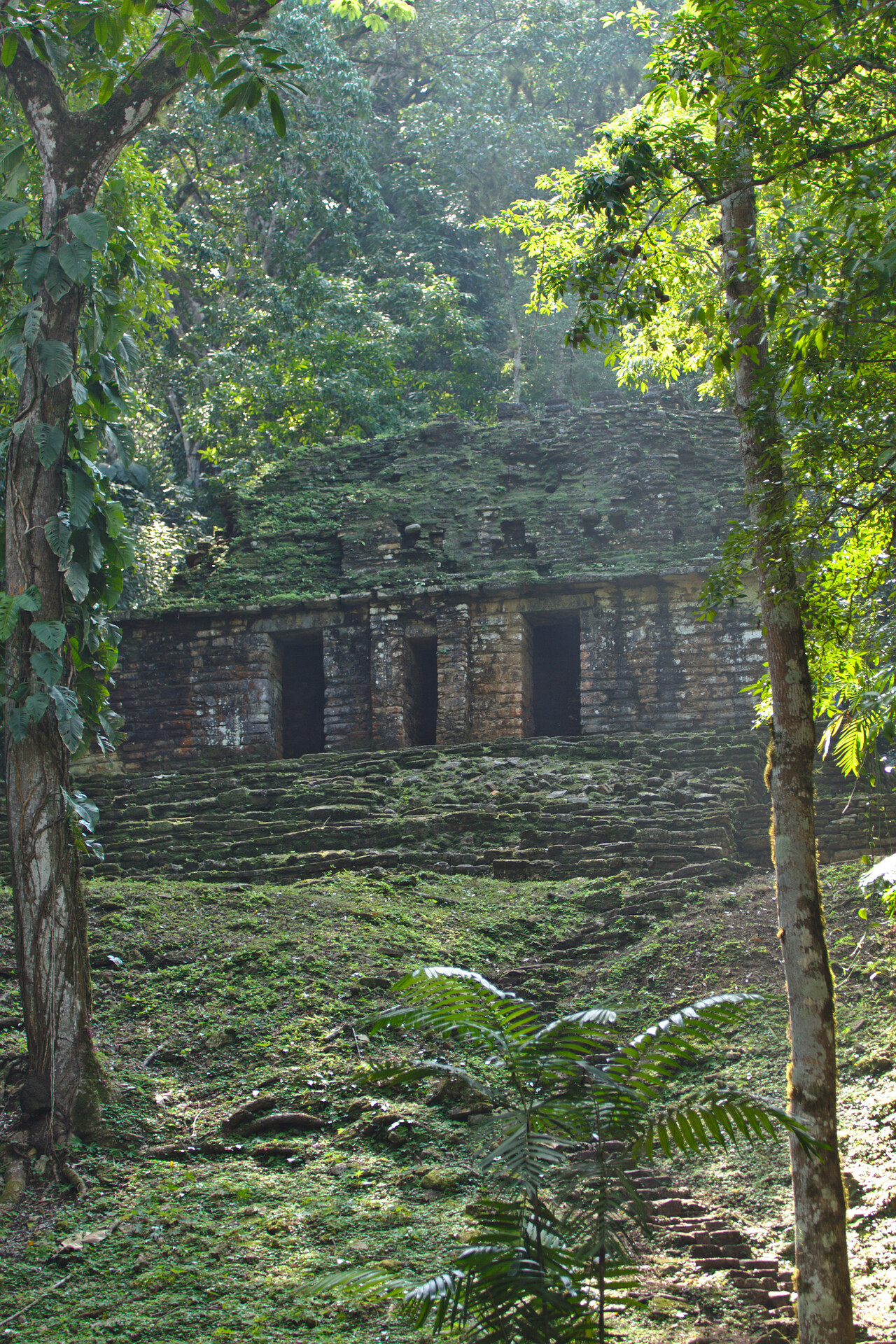
There are a few more archeological sites near Palenque that can be reached by organized day tours. We took one and it turned out to be a nice outing. The ruins are less visited and still give you kind of an India Jones feeling.
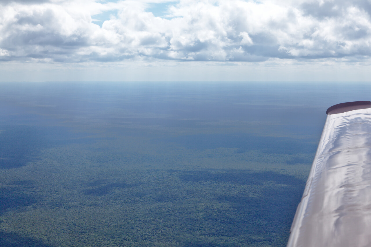
Our next destination was Chetumal on the southeast coast of the Yucatán peninsula. We flew VFR again and found the region to be surprisingly densely forested.
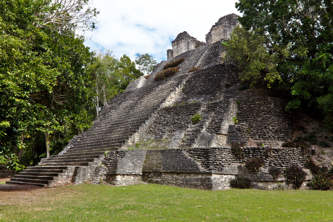
There were again some ruins to be seen near Chetumal. We rented a car and drove around a bit. The landscape wasn’t that great, rather boring in fact. As it’s completely flat and all covered with bush-like jungle, you don’t see anything while driving. However, the ruins are spectacular.
Our search for an airfield in northeastern Yucatán turned out to be a bit more complicated. Playa del Carmen was too short to our liking for a departure in the heat, Tulum is military only and Cancún too busy with CAT. So we opted for the island of Cozumel even though we actually didn’t want to visit the island itself. We had to fly IFR and were on top most of the time, so we missed the Riviera del Maya as the stretch of coast is called.
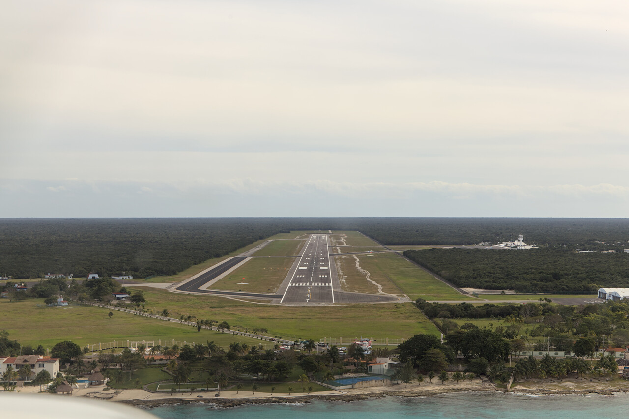
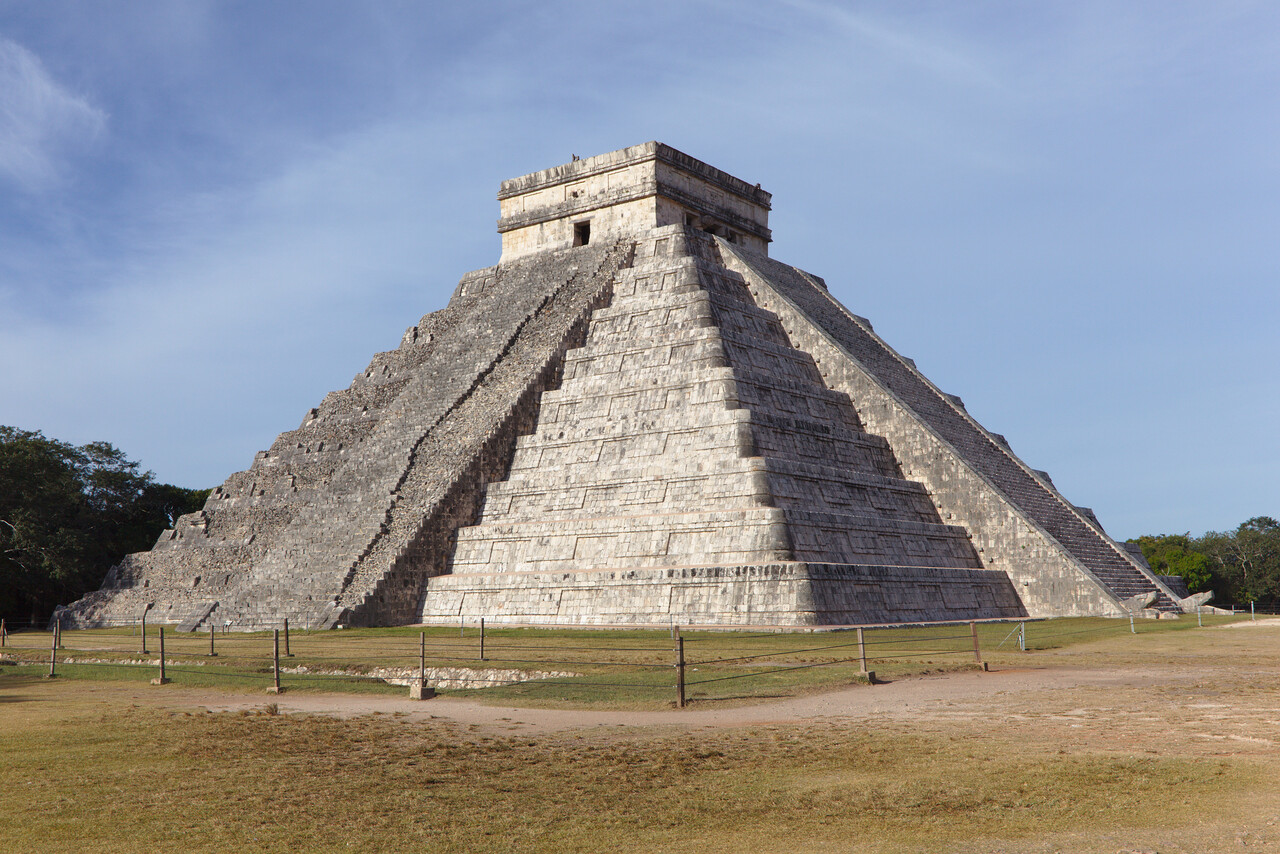
After landing we took a ferry over to the mainland where we had arranged a rental car again. Besides the beaches (and cave diving) the Maya ruins are the main reason to come to Yucatán. Chichén Itzá is the most famous site here and it gets very crowded, so getting up early really pays.
We drove up to the very north to Rio Lagartos what means alligator river in English. Funnily it’s neither a river nor are there alligators – it’s kind of a long lagoon where crocodiles live.
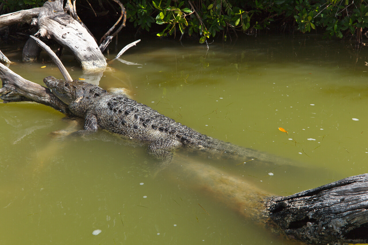
Besides the crocs a lot of birds can be seen in the mangroves. Locals take you out in a boat for two hours for a modest fee. We’re no ornithologists at all, one could rather say we have no clue but we enjoyed the boat ride a lot.
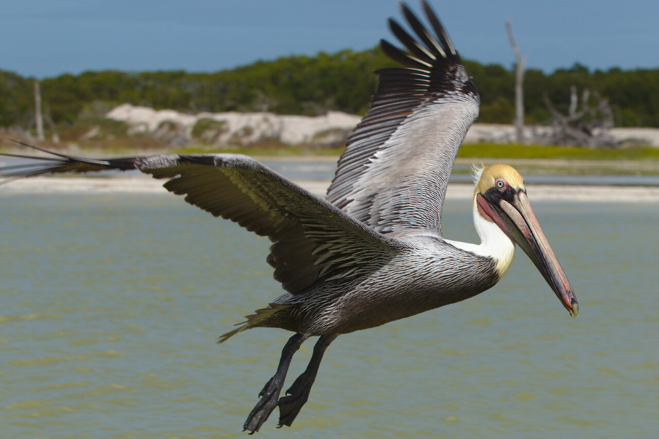
However, the most famous species there are the flamingos. Not being color blind (no medical otherwise, right?) even we were able to clearly identify them.
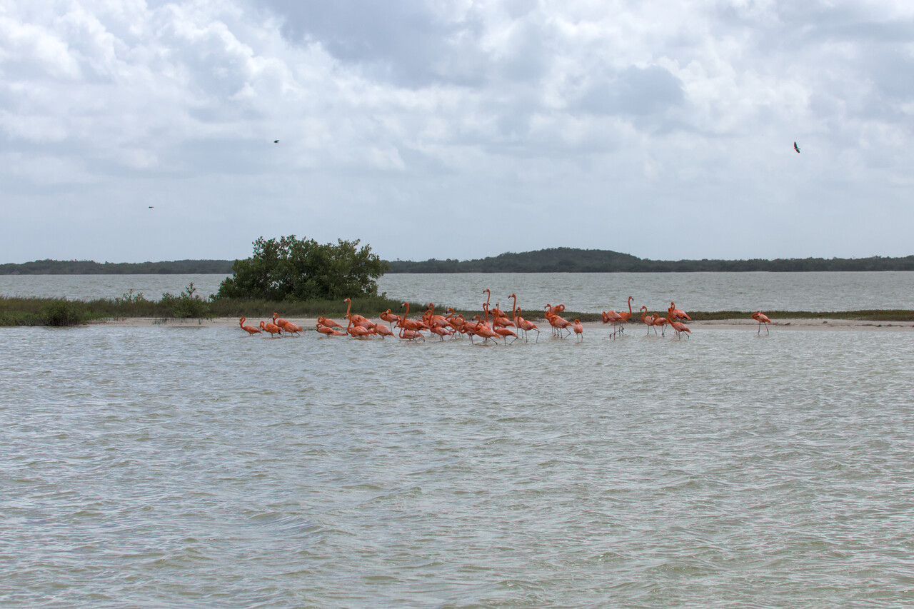
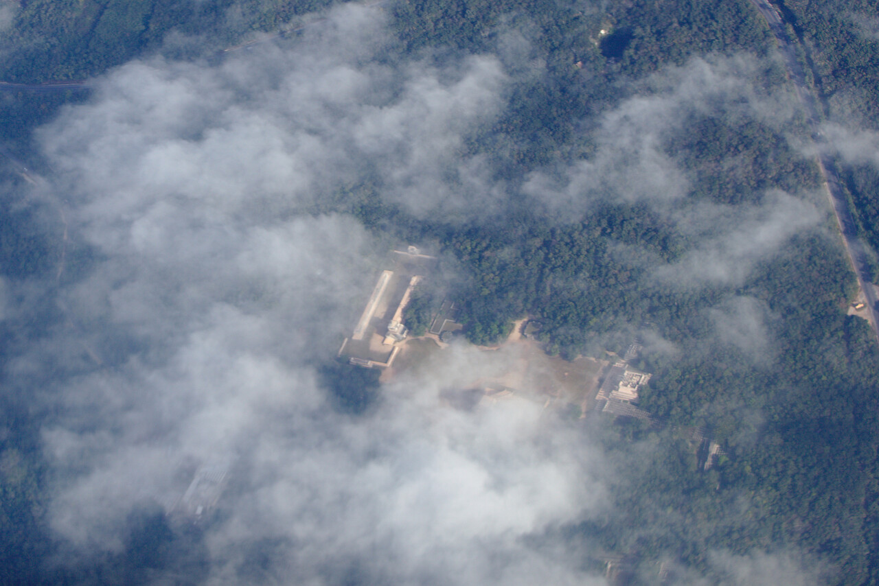
We crossed the peninsula for Mérida with our next flight. We decided to do this IFR again as the weather at our destination was cloudy with a rather low ceiling.
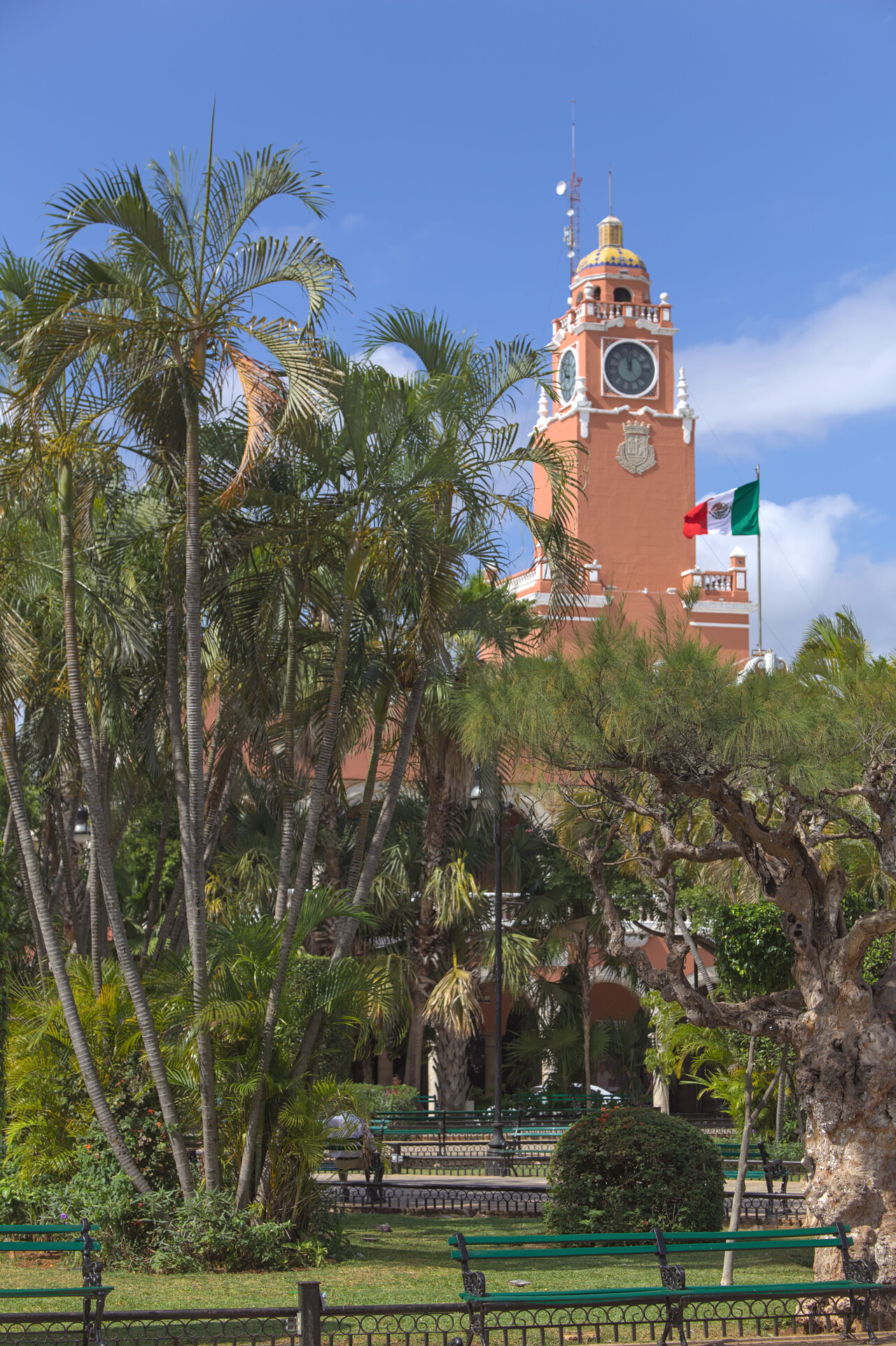
Mérida turned out to be a pleasant place with lots of colonial architecture. It’s a touristy city but offers all the amenities one might need.
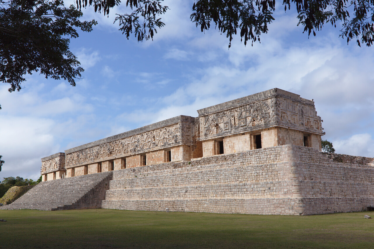
Of course there were more ruins to visit around the city. Without the burden of any deeper archeological understanding we visited quite a few again and simply enjoyed the atmosphere.
Again we drove around with a rental car to check out some more places. Rather by accident we found the colonial town of Campeche which turned out to be a little gem.
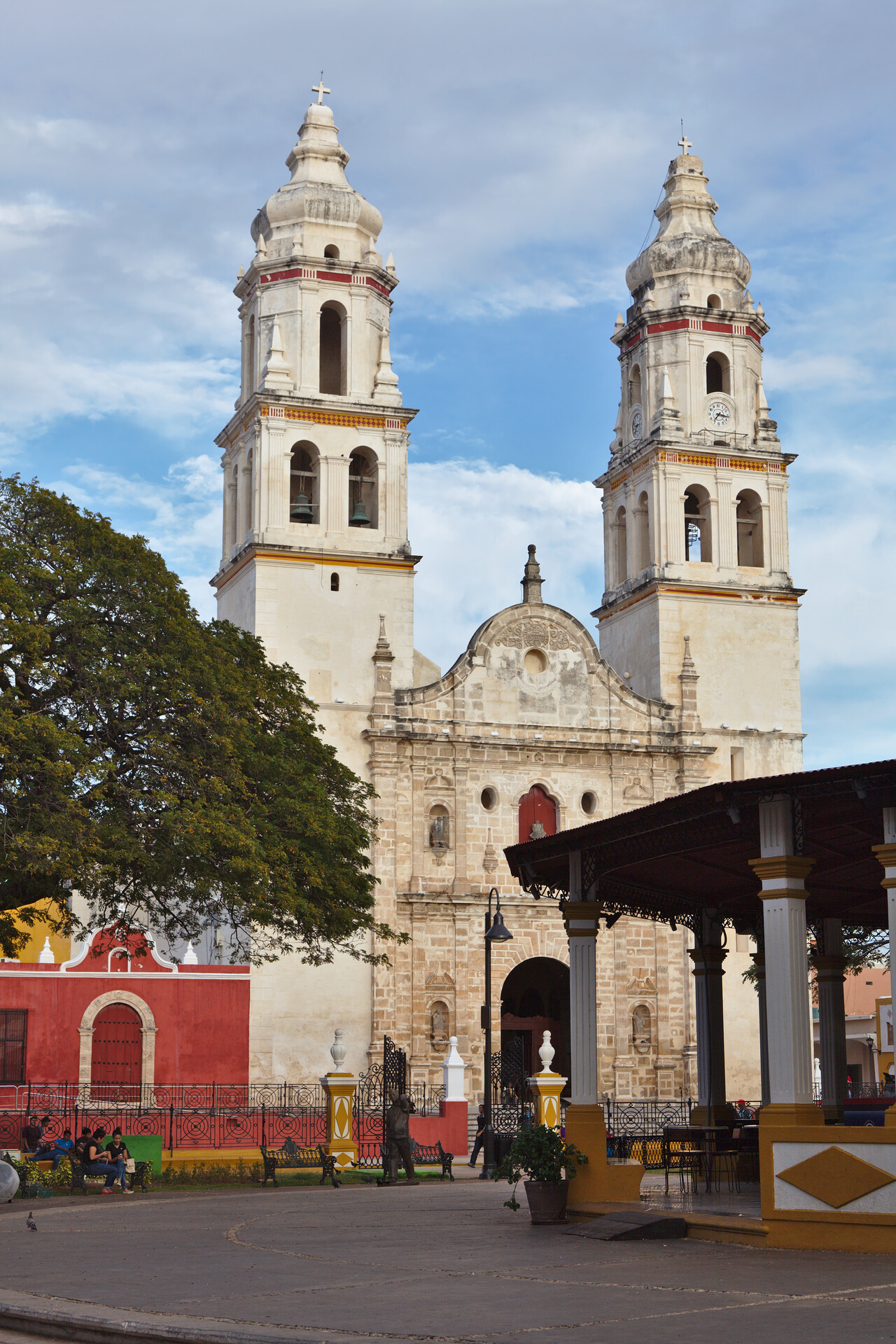
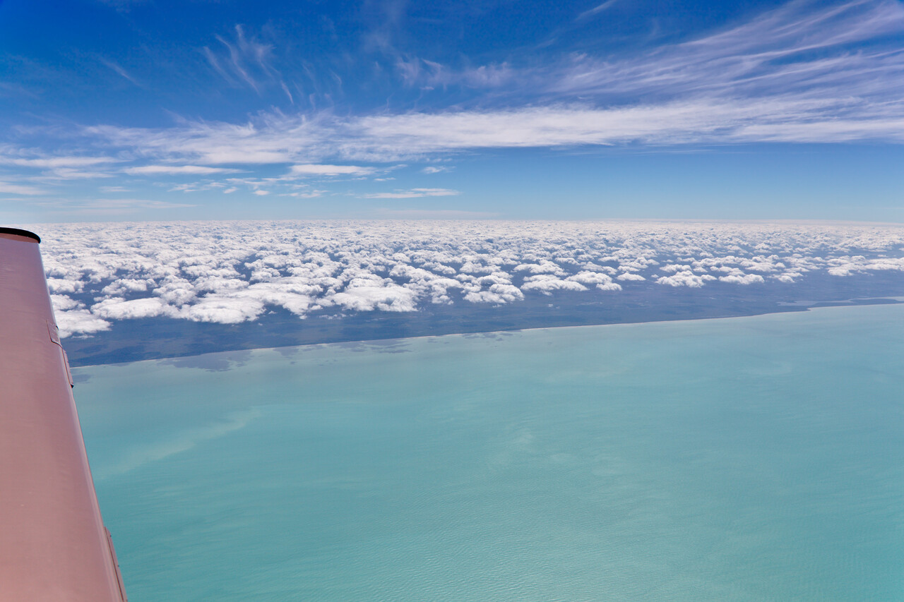
After two weeks of flat landscape and Maya ruins we left Mérida for Oaxaca which is located in the central valley at an elevation of 5000ft.
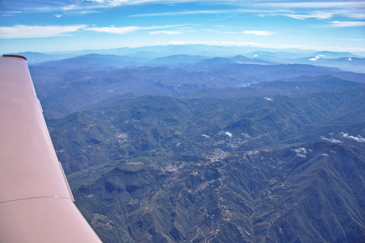
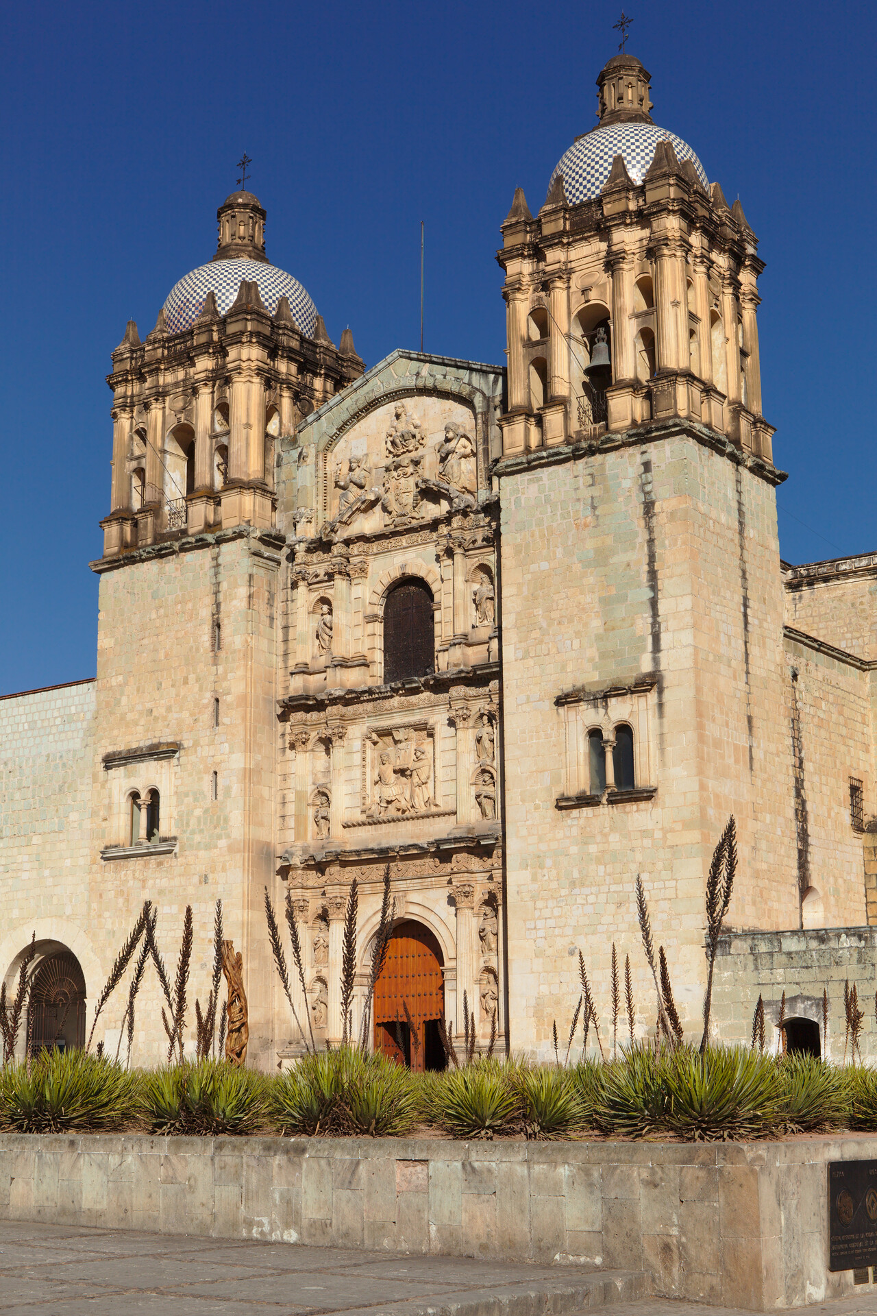
Of all the cities we visited in Mexico Oaxaca was the loveliest one, hands down. It boasts a wealth of churches, palaces and other colonial buildings.
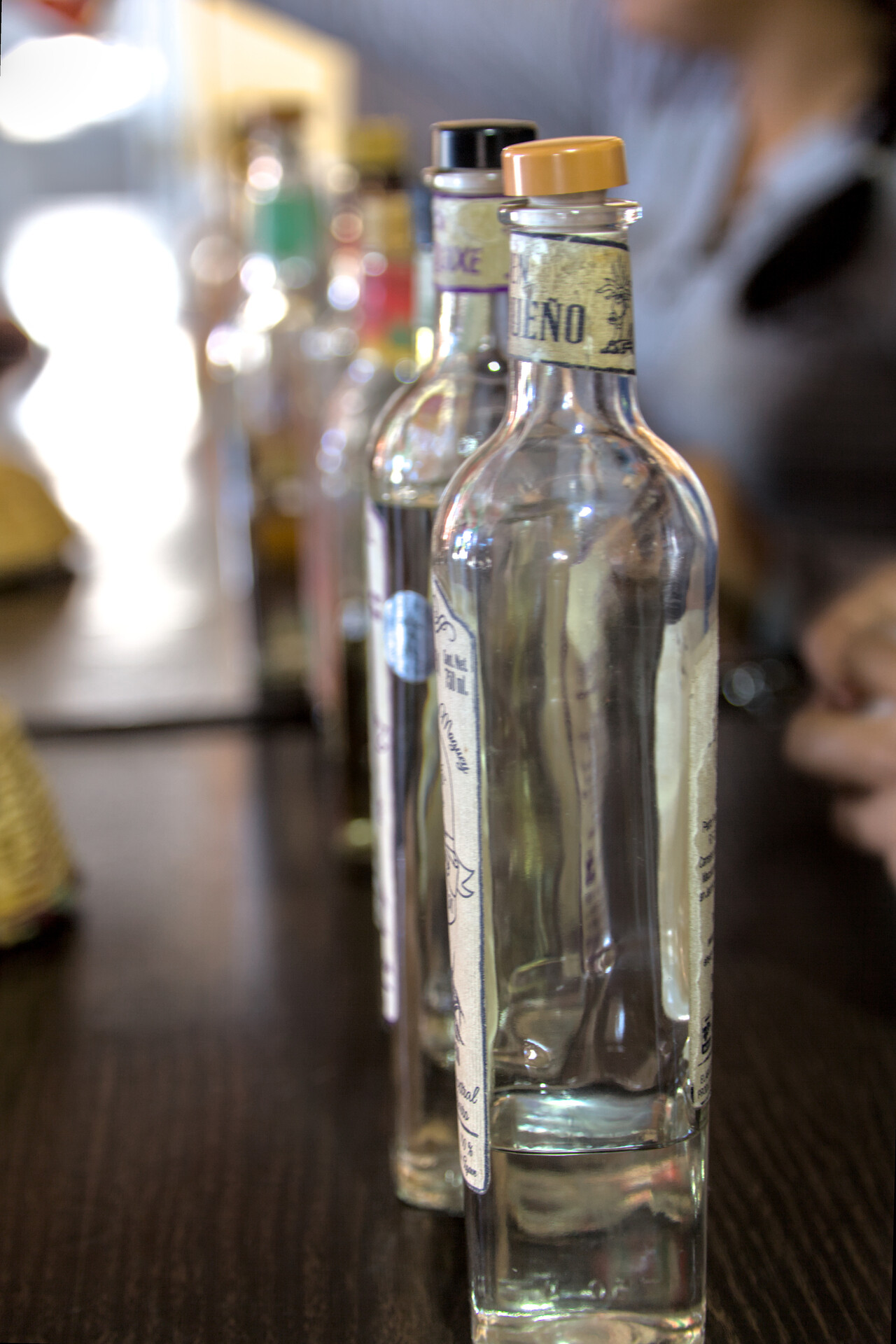
Moreover, Oaxaca is considered the food and Mezcal capital of Mexico. Mezcal is a spirit distilled from Agave plants. It’s an acquired taste, so to say, but we tried hard to get used to it.
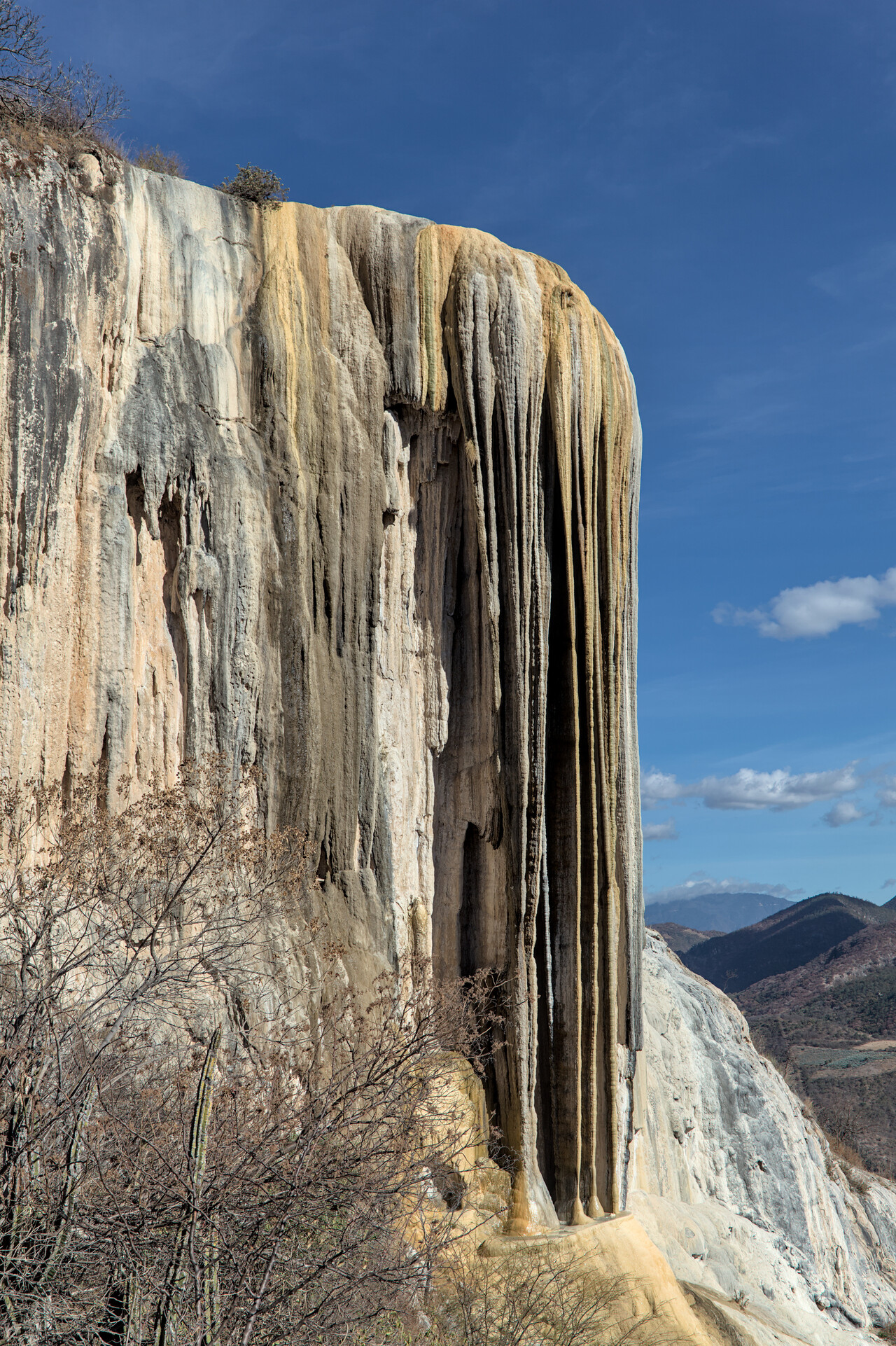
There is some spectacular landscape in the mountains around Oaxaca, one example being the “petrified waterfall” of Hierve el Agua. It’s not a waterfall actually but was formed by a mineral rich water source in the dry surroundings.
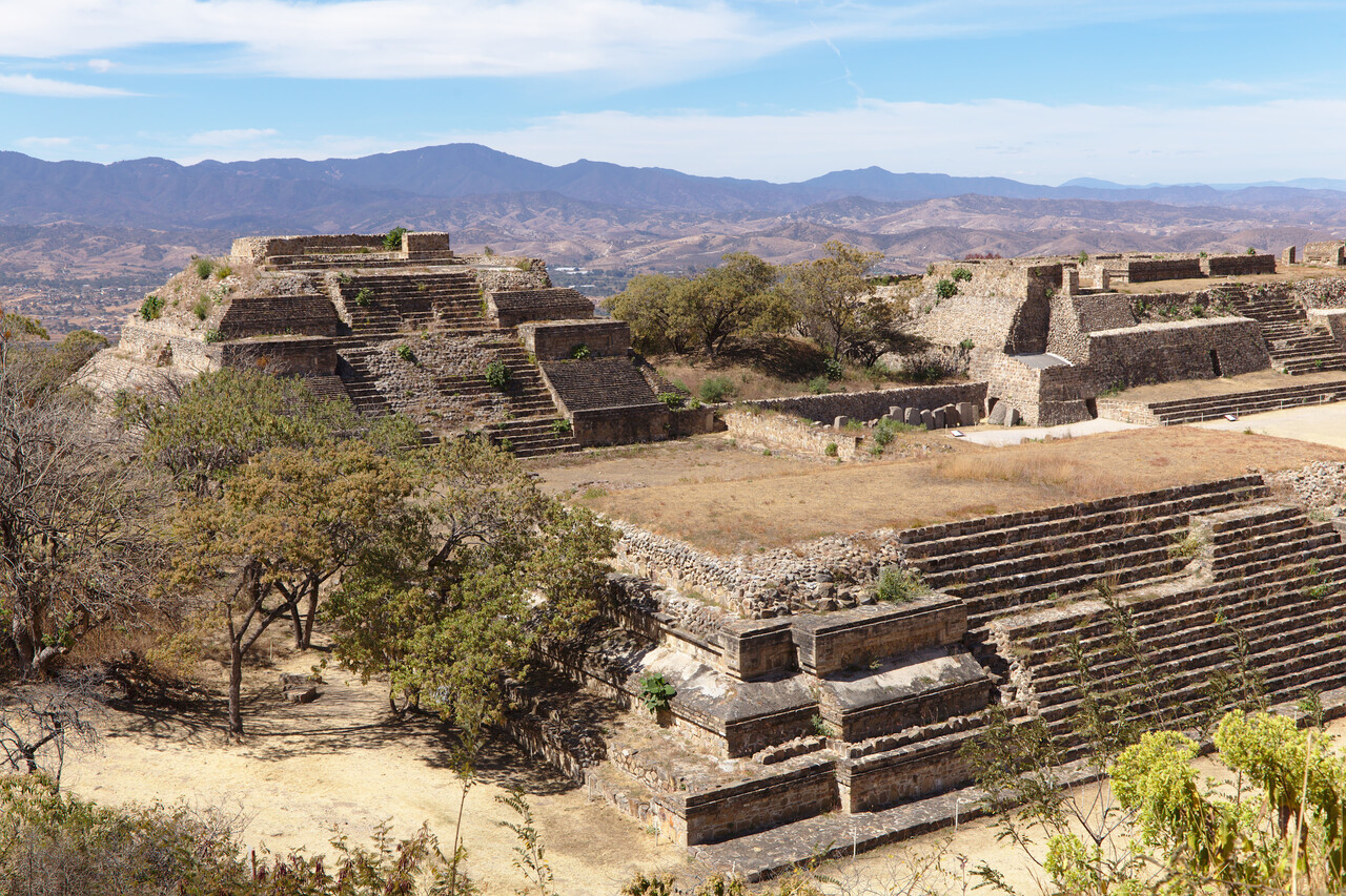
And of course there are more ruins. Not Maya this time but not less spectacular. I insert one last photo, hoping nobody thinks this was ment to be a text book about archeology.
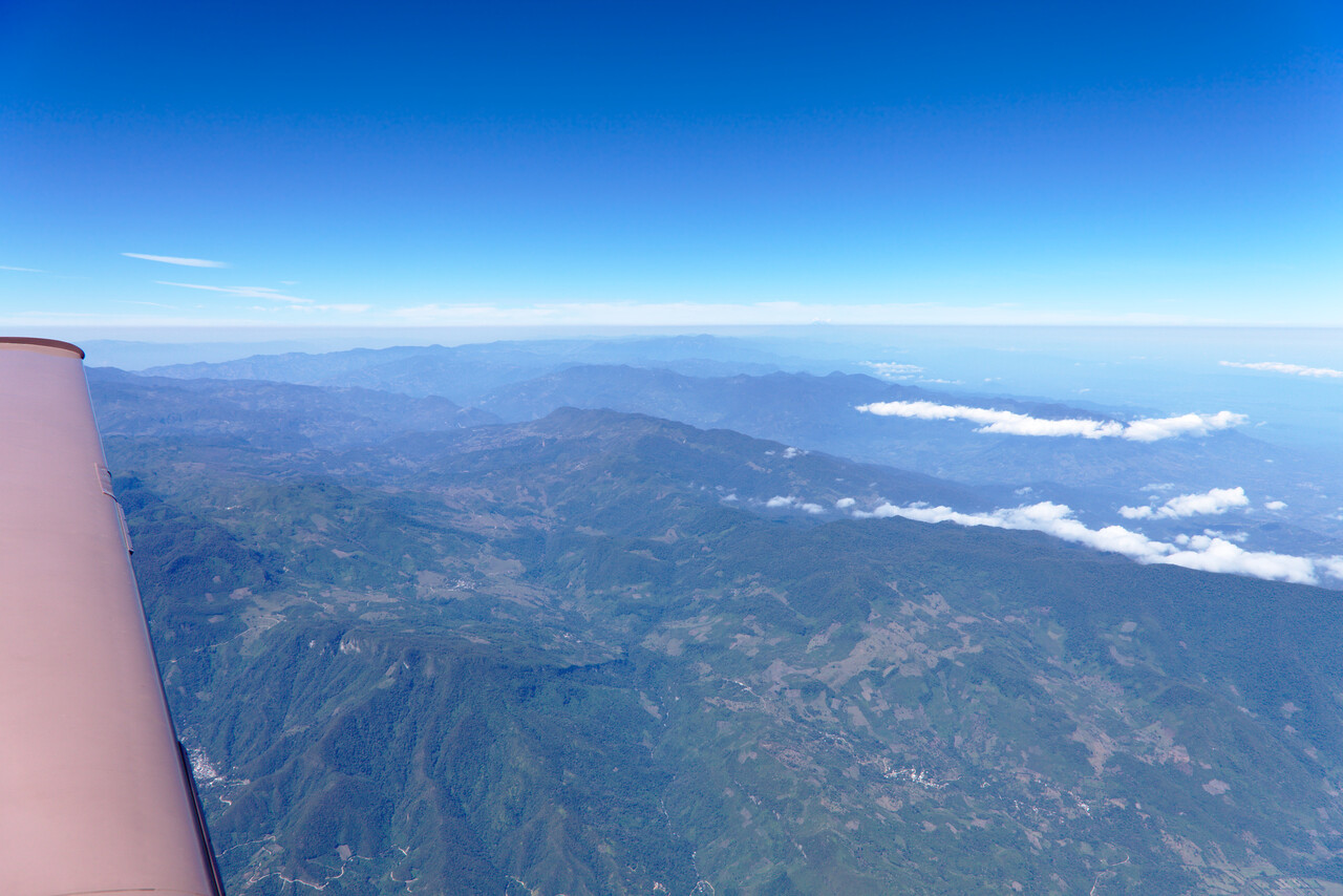
The last flight within Mexico took us to Veracruz on the Gulf coast. It was a nice flight across the mountains again.
We had chosen Veracruz for practical reasons. There are some nice places in the surroundings but the city itself is not too appealing.
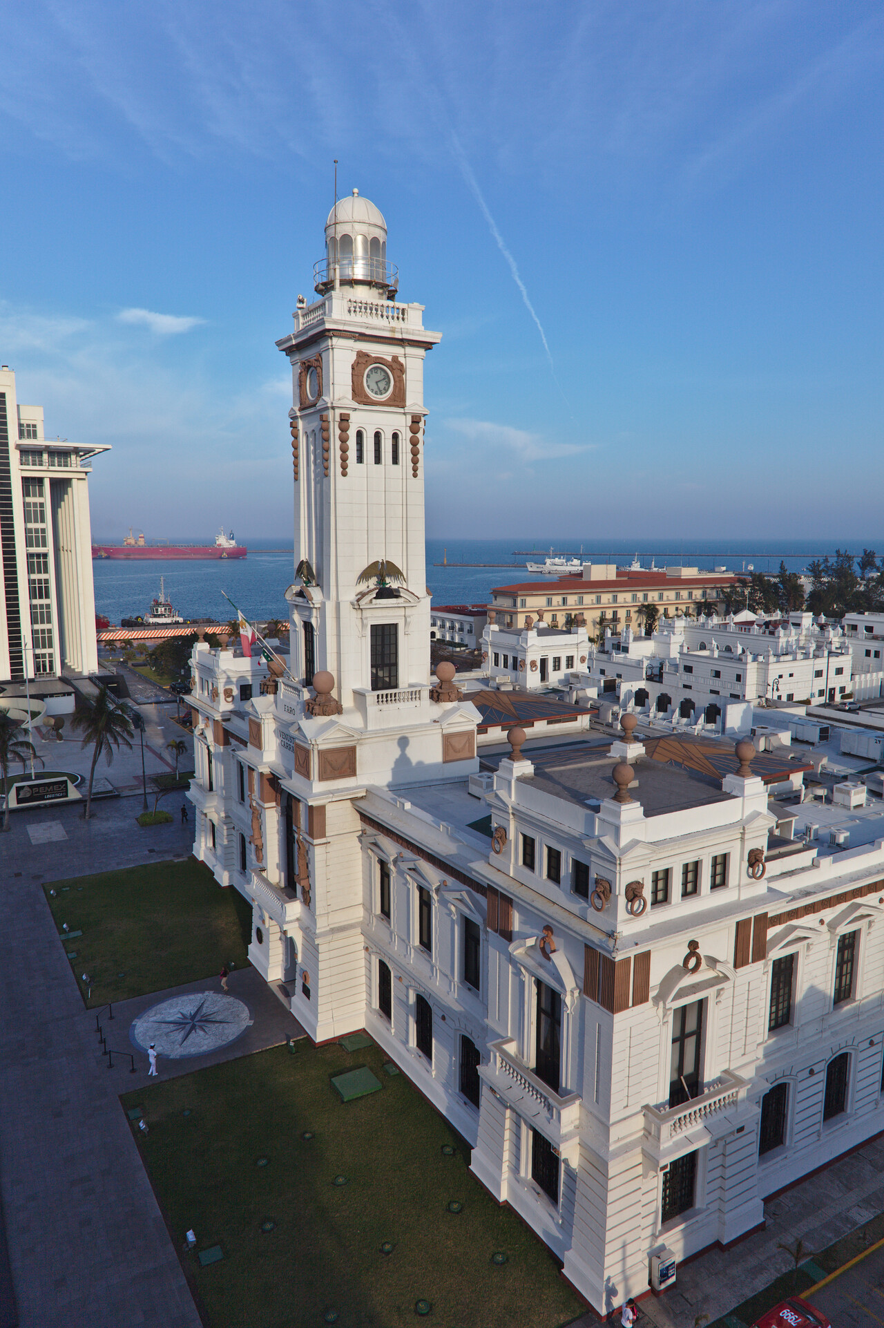
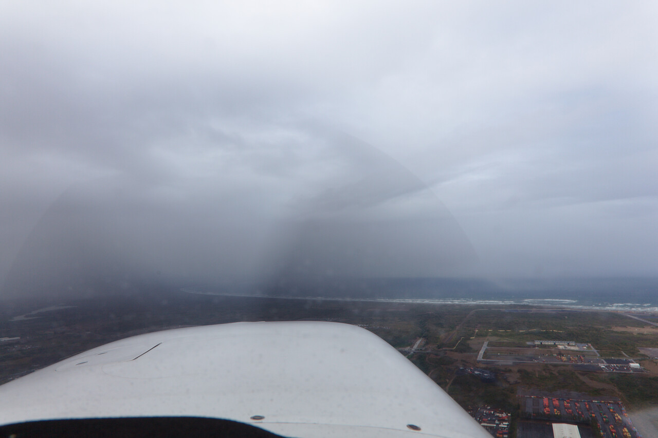
We left Veracruz on an IMC day for Brownsville in Texas, where I flew my first localizer back-course approach ever. Was not a big deal, but anyway…
The Long way home
We didn’t expect that it would be easy to fly across the US in February, let alone crossing the Atlantic and in fact it wasn’t. While we were quite lucky in the US, the Atlantic was nerve-wracking.
USA
After entering the US in Brownsville, all other stops were “social” as we visited friends in several places. The only exception was Nashville, where we broke the journey because it was conveniently located and we had never been there. The route was Brownsville (KBRO) – Weatherford (KWEA) – Nashville (KBNA) – Leesburg (KJYO) – Danbury (KDXR).
Brownsville is located only a mile or so north of the Mexican border and US authorities want you to land as close to the border as possible when coming from Mexico. Before we arrived there, we had all kinds of nightmares what customs might do with us after landing. As always, things turned out differently from what you expect: The officers were the most relaxed we ever had. We taxied to the customs ramp and waited in the plane as we had learned we had to, but one of the guys waved from the door, we should come over. While one of them inspected our aircraft from the outside with some sort of sniffing device, the other stamped our passports, said “welcome to the US” and we were good to go.
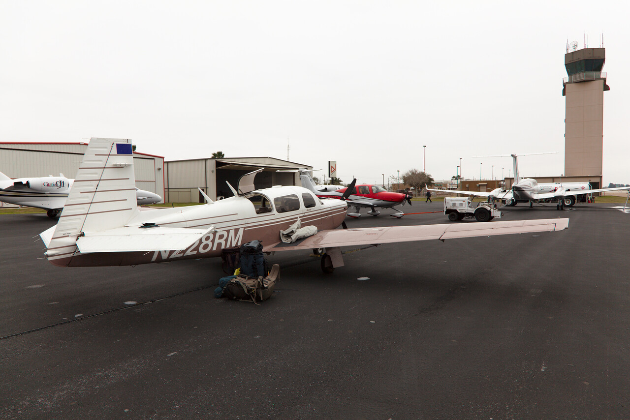
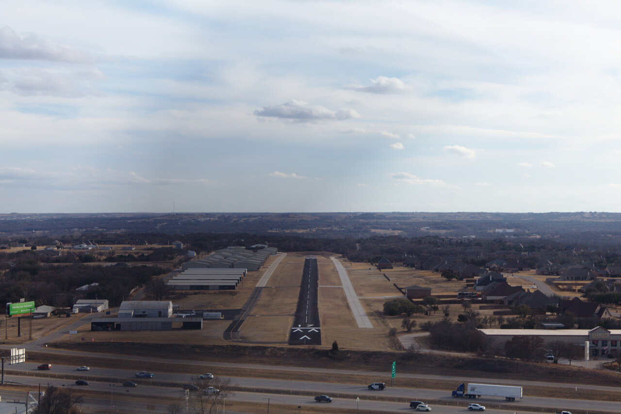
Weather looked good for the next day so we left Brownsville for the tiny Parker County Airport near Weatherford in the Dallas area. We have friends there and they helped us to find an A&P/IA who was willing to take a look at our engine together with us. We changed the oil, rotated the plugs and peeked into the cylinders. Neither we nor the A&P mechanic could find anything that wasn’t right.
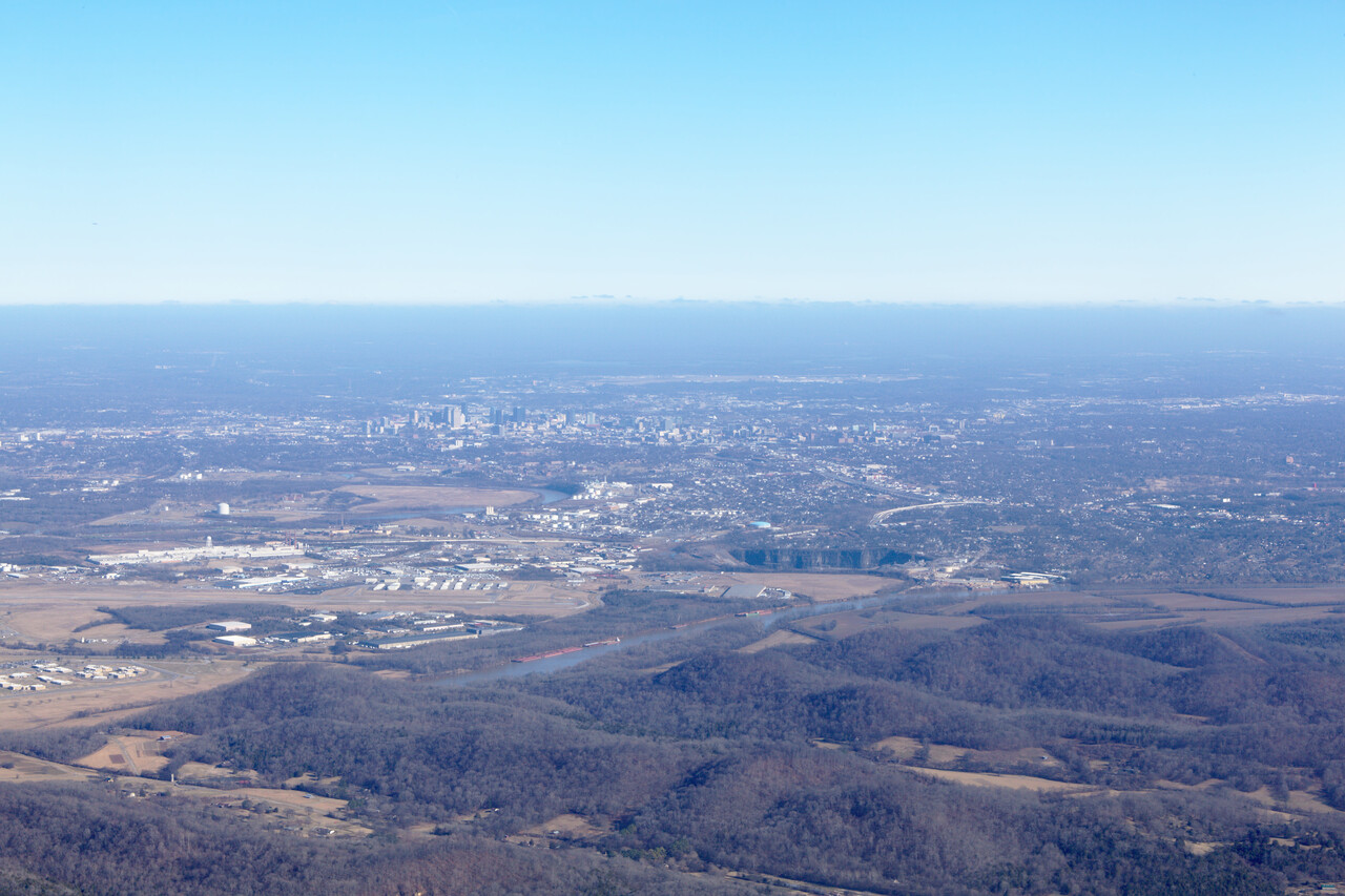
After a few days with our friends in Texas we flew to Nashville, which divides a straight line between KWEA and our next destination KJYO almost in the middle. We only spent one rainy day there so the city had to fight an uphill battle to concur our hearts. The fact that I don’t like country music didn’t help much.
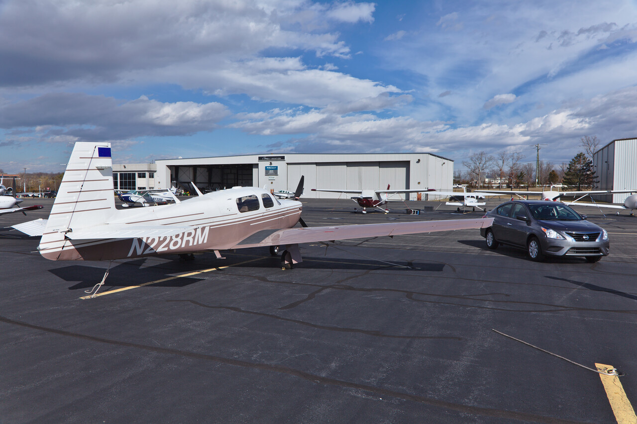
We had stored our immersion suits with a (non-pilot) friend in the D.C. area, so we flew to Leesburg next. We had one more chance to enjoy the GA friendliness of the US there. We had called the FBO the day before to arrange a rental car and when we parked the plane they delivered it right next to us.
Summer was gone since we left Mexico but while we were in the D.C. area a cold front passed and it got really chilly. We had an evening and the stormy day with our friends and a little sightseeing but used the following clear day to carry on.
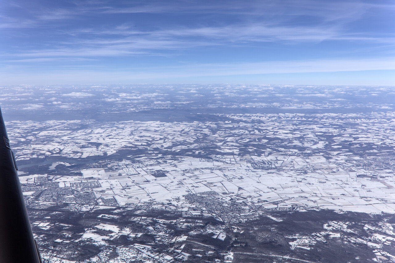
We flew to Danbury for our last stop in the US to visit one more friend, this time a pilot again.
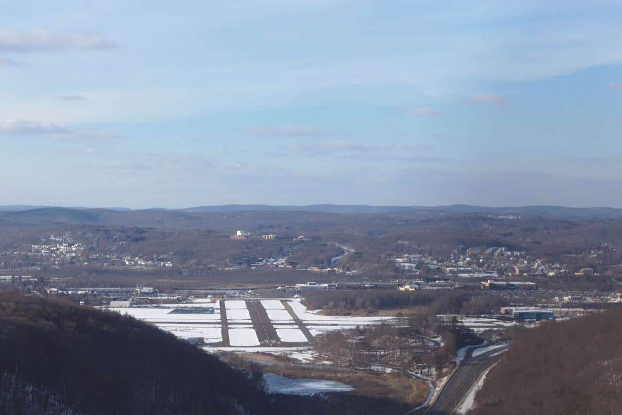
We spent a few fun days in the area and even nicer evenings with lots of aviation talk. One day, while our friend had to fly, we drove over to New Haven to see the famous Yale university.
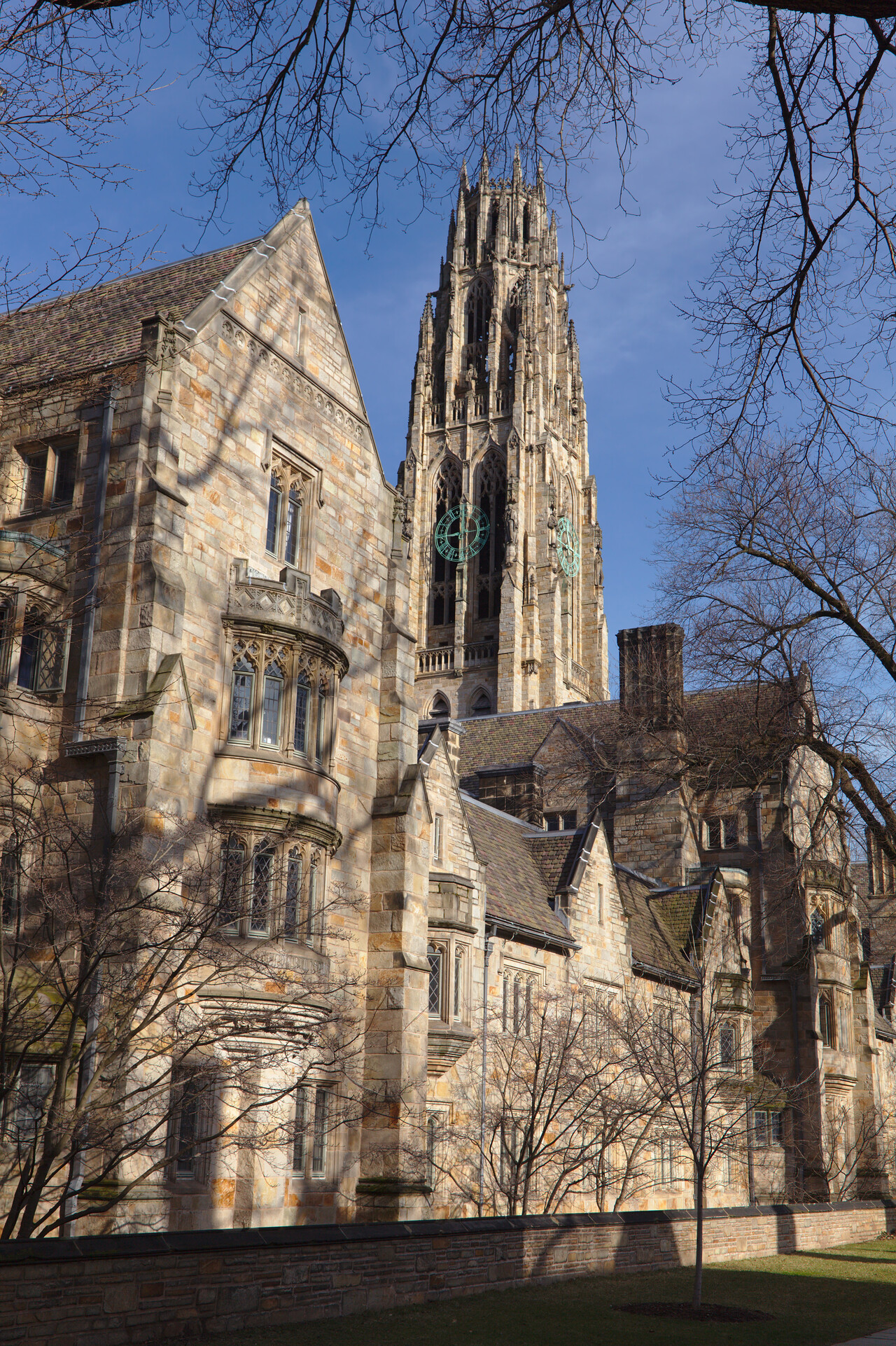
It was end of February already and we had to be back in Germany by mid-March. Of course an Atlantic crossing in a SEP is a little unpredictable and one needs some buffer, so we didn’t hesitate to continue once the weather forecast was good.
Atlantic crossing eastwards
After having crossed the North Atlantic three times via Iceland and Greenland it was tempting to tackle the route via the Azores. The obvious problem is: it’s far! The jump-off point to Horta (LPHR) is St. John’s, Newfoundland (CYYT). It’s a 1183NM leg and there is no Avgas in Horta. Piston fuel is only available in Santa Maria (LPAZ), another 192NM further. Anyway, as long as there is no headwind, a Mooney 252 with long range tanks (Monroy) can do this! We planned for a stop in Horta and just to be sure, we bought two jerry cans, five gallons each, to carry in the baggage compartment.
The island of Flores is located 125NM west of Horta, but it’s not a port of entry (even Horta is PPR) and there is no Avgas either. Still one can file it as an alternate, it’s certainly better than swimming. We had been looking at the winds and planned sample flights many weeks in advance and were confident we could do it, so we flew to the jump-off point of St. John’s (CYYT), Newfoundland, Canada. We departed with low clouds in Danbury, but we didn’t pick up any ice and were in the clear after a few minutes. We had filled our jerry cans in Danbury already, as we were not sure if they would allow us to fill them in St. John’s.
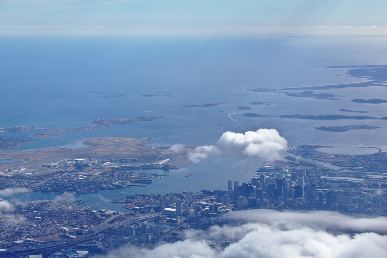
The flight to CYYT was long but we had very good winds and were lucky with the weather. Nova Scotia and Newfoundland don’t appear as desolate as Labrador, though some terrain is quite hostile.
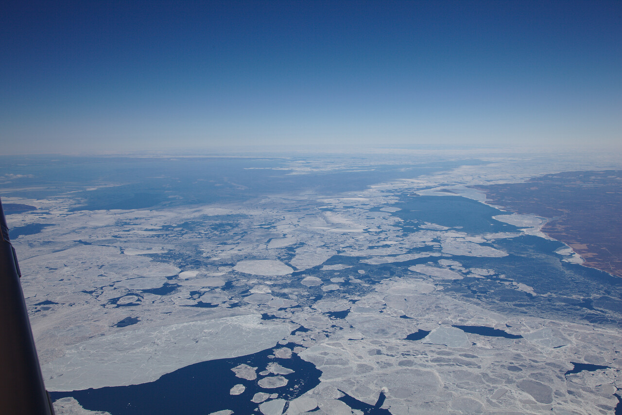
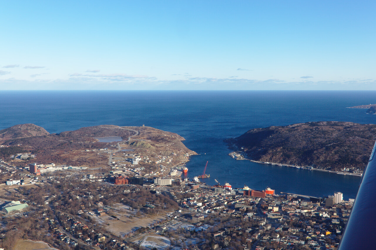
We arrived in St. John’s with strong winds (many runways, no problem) and under a sunny sky. However, sunny days are rare in Newfoundland end of February.
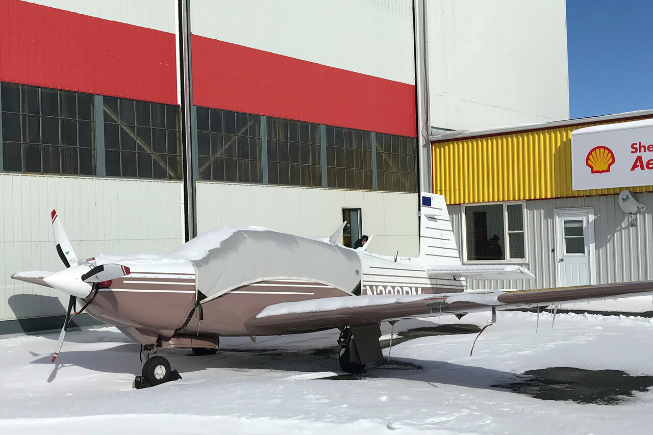
In fact, it started snowing in the evening and when we looked at our Mooney the next morning, she was covered with snow.
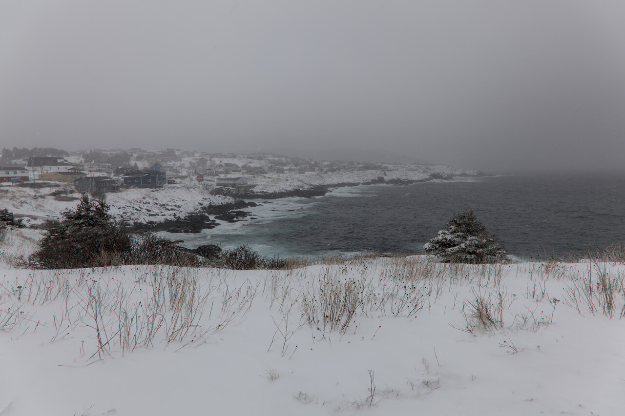
The weather forecast was terrible for the next days. We took a rental car to explore the area but that wasn’t too much fun. It was foggy and one just doesn’t feel relaxed while waiting.
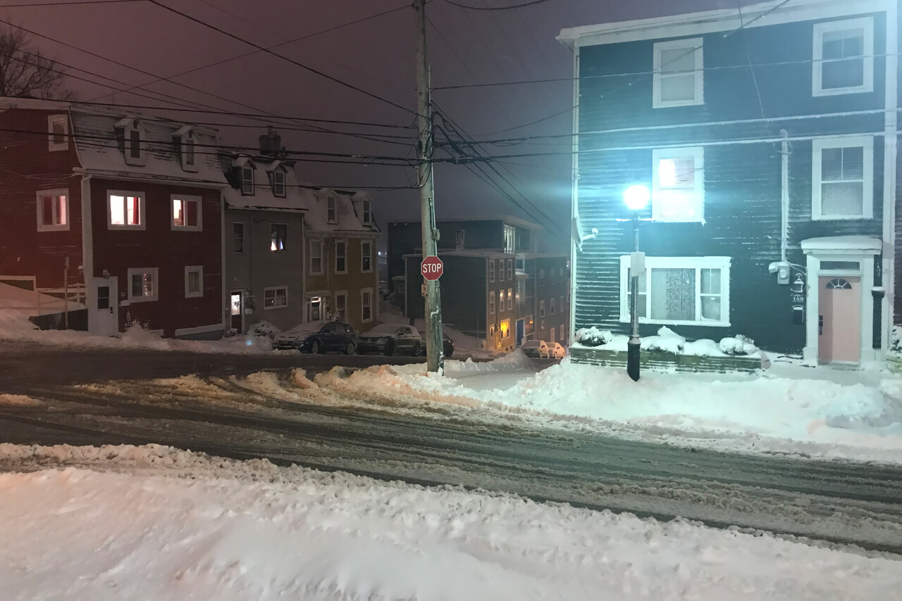
We had booked an Airbnb and our host was very sympathetic. It turned out that she was a school teacher and she asked us to come to her class to talk about our journey. A very nice experience.
To be able to fly from CYYT to LPHR three things have to come together: the weather in St. John’s has to be alright, the winds and the weather en route have to be good and the weather in Horta has to be forecast well above minimums. We waited for eight days till conditions were acceptable.
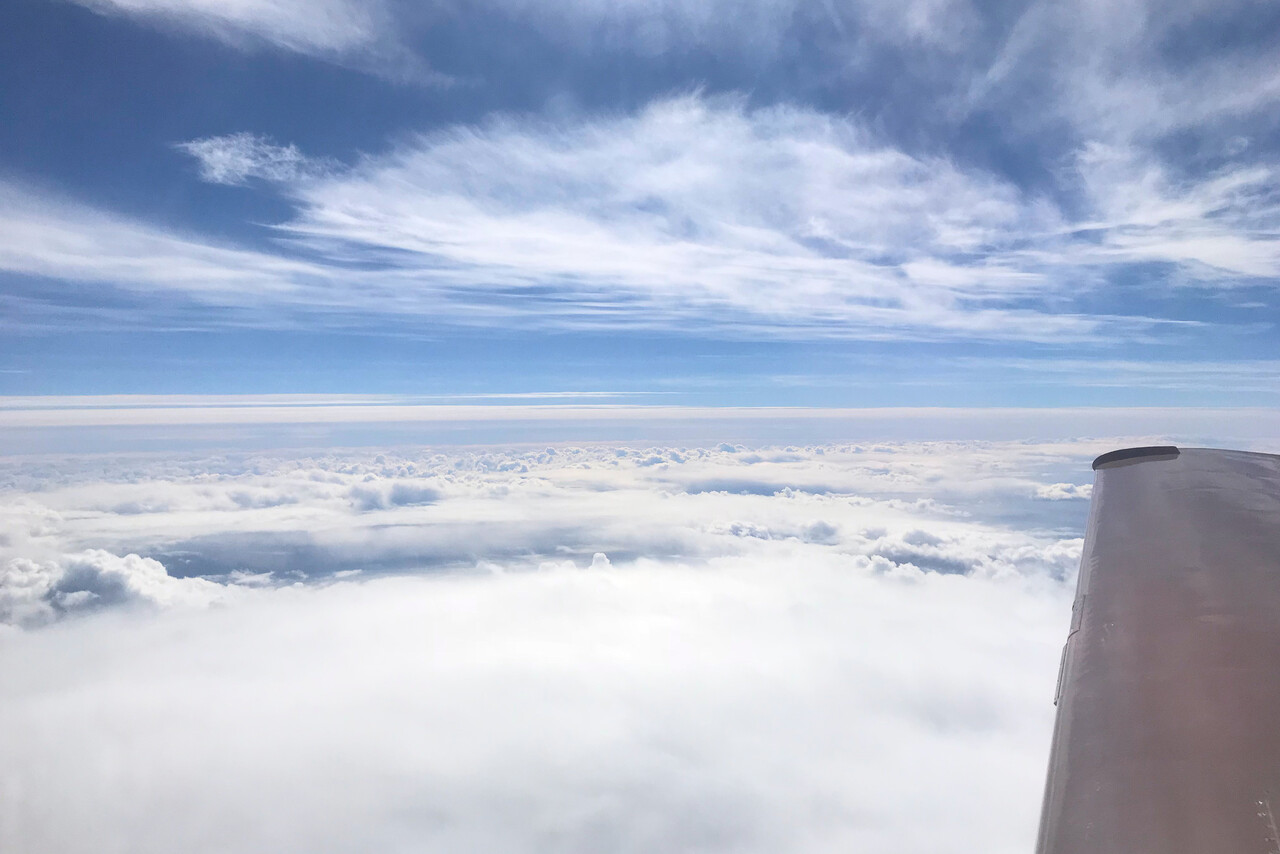
We had to depart into a low overcast with freezing level at the ground which we really didn’t like. But again there was absolutely no ice in it. Moreover, headwinds were forecast for the first two hours. We received a SIGMET about turbulence in the Santa Maria FIR via sat phone from Gander Radio. However, when Tina plotted the area, we learned that our route was to the south of it.
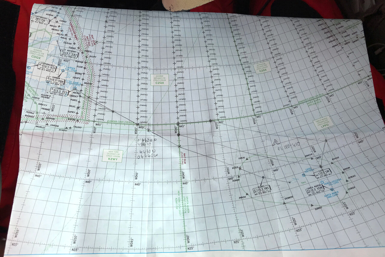
Fortunately the wind changed as forecast, we had a strong tailwind after two hours. There are options in case weather deteriorates while on the way, but only bad ones. The flight was planned to take 6:40, so one checkpoint was that we had to return if there was no tailwind after three hours. After two hours freezing level was well above sea level and no clouds were forecast until that point. In case of icing we would have been able to leave our cruising altitude (FL190) but that would also have meant to fly much slower, possibly reaching Horta short on fuel or even having to land in Flores. Same thing if the turbulence area would have been in our way. Luckily there was no ice in the cirrus clouds we had to cross en route. We encountered some ice an hour before Horta but we climbed to FL210 where we were on top again. We only stayed there for 25 minutes or so, before we descended into Horta, where we landed exactly after 6 hours and 36 minutes.
We had hoped for some better weather in the Azores, but were disappointed. The first day was rainy while we explored the island.
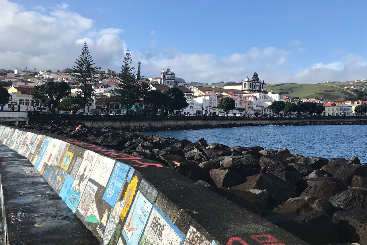
The next day was so poor that the airport of Horta was closed all day long, not a single flight arrived. We drove over to check out the situation, talk to the very friendly folks there and fill the fuel from the jerry cans into the tanks.
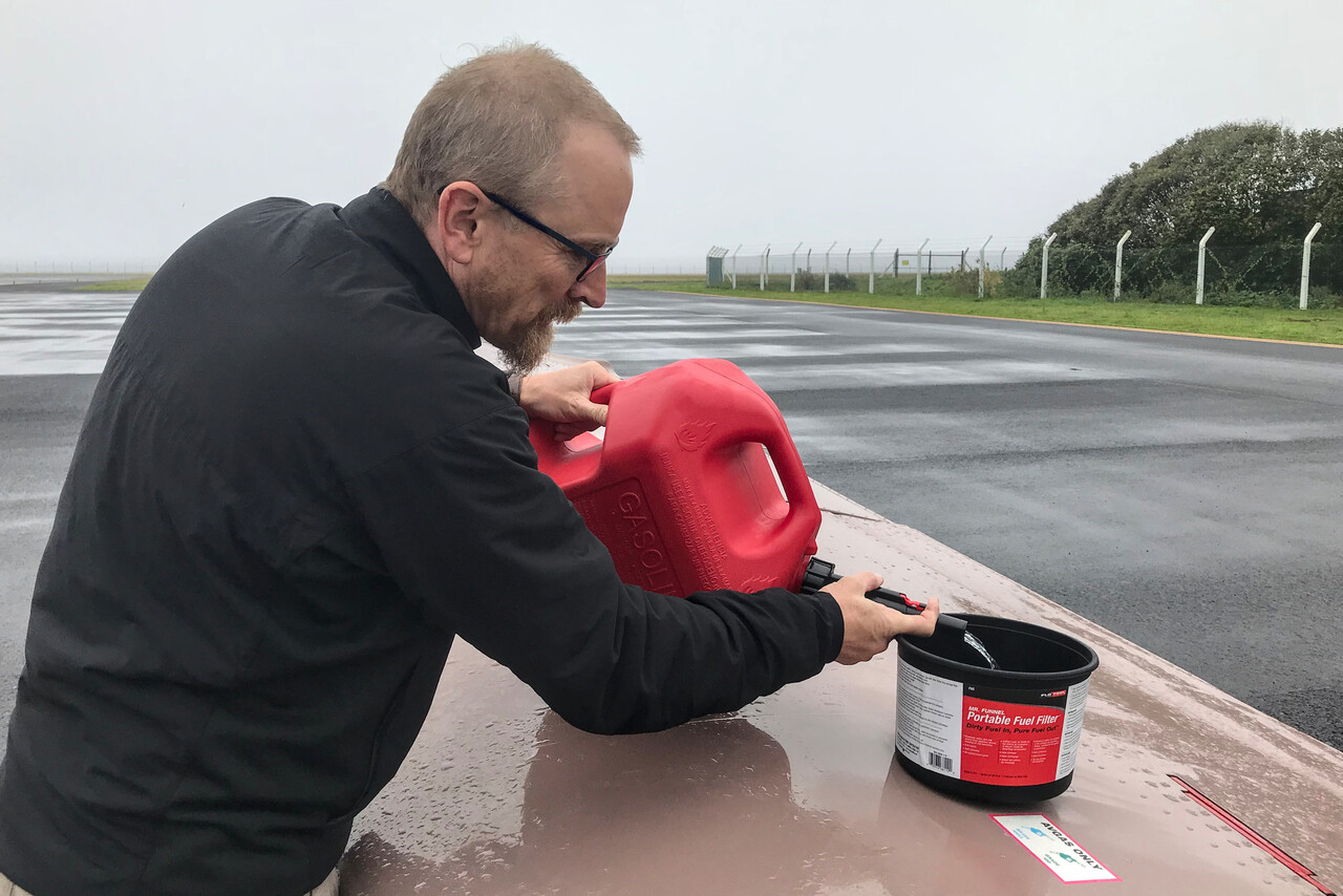
Things didn’t look too bad. We had 25 gallons left in the tanks, so with the fuel from the cans we could fly for almost three hours. Strong crosswind was forecast for Santa Maria where they have a north-south runway. In Ponta Delgada (LPPD) on the island of São Miguel it was windy as well but there they have a 30. São Miguel is the most interesting island for tourists and from there it’s only 25 minutes to Santa Maria, so we decided to fly there the next day.
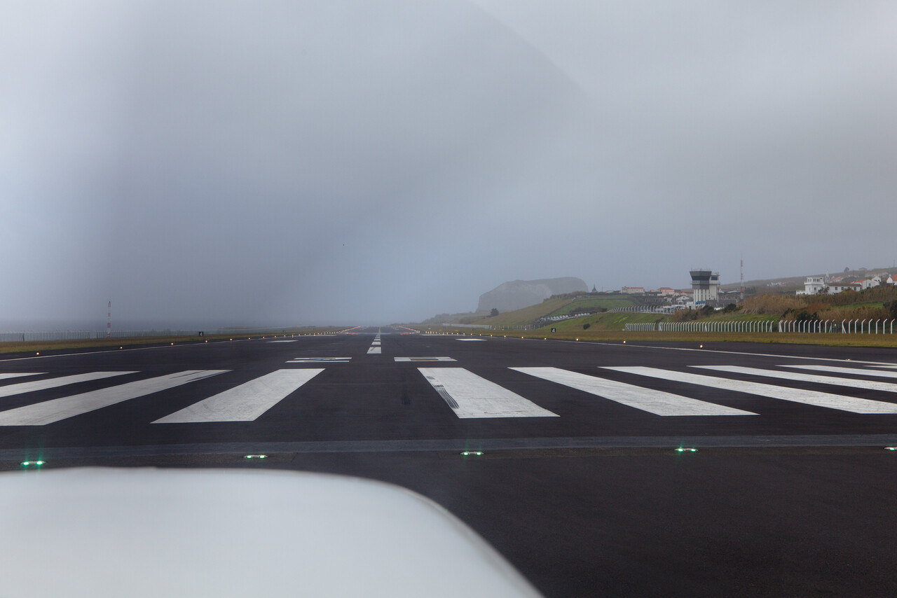
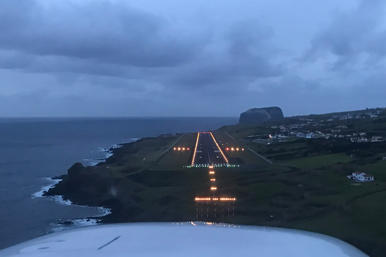
It was windy and hazy with some low clouds and we had to fly the full procedure for the ILS, no vectors available. We checked immediately after landing and found that we still had fuel for an hour and a half.
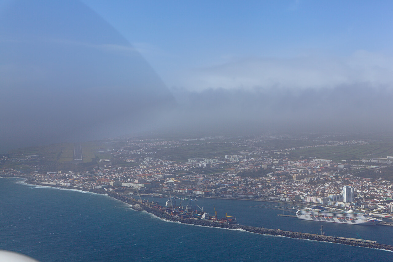
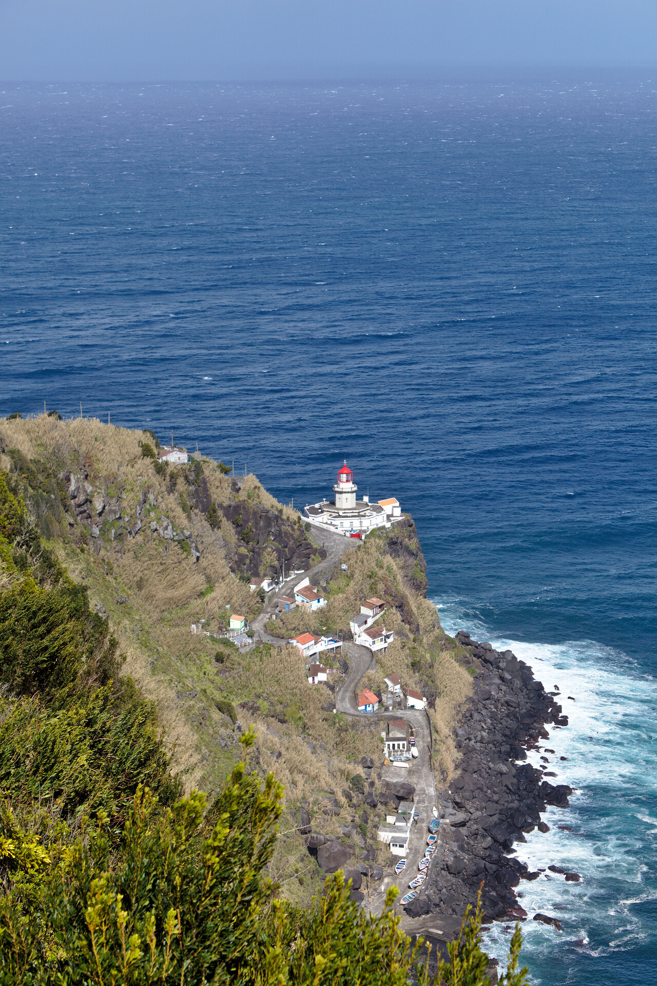
Again a storm with gusts of more than 50 knots was about to reach the islands within the next two days. We rented a car once again to see the island.
In fact São Miguel proved to be very scenic, it really must be nice in better weather. But even in March there were many tourists, Germans and Brits mainly, many more than we had expected.
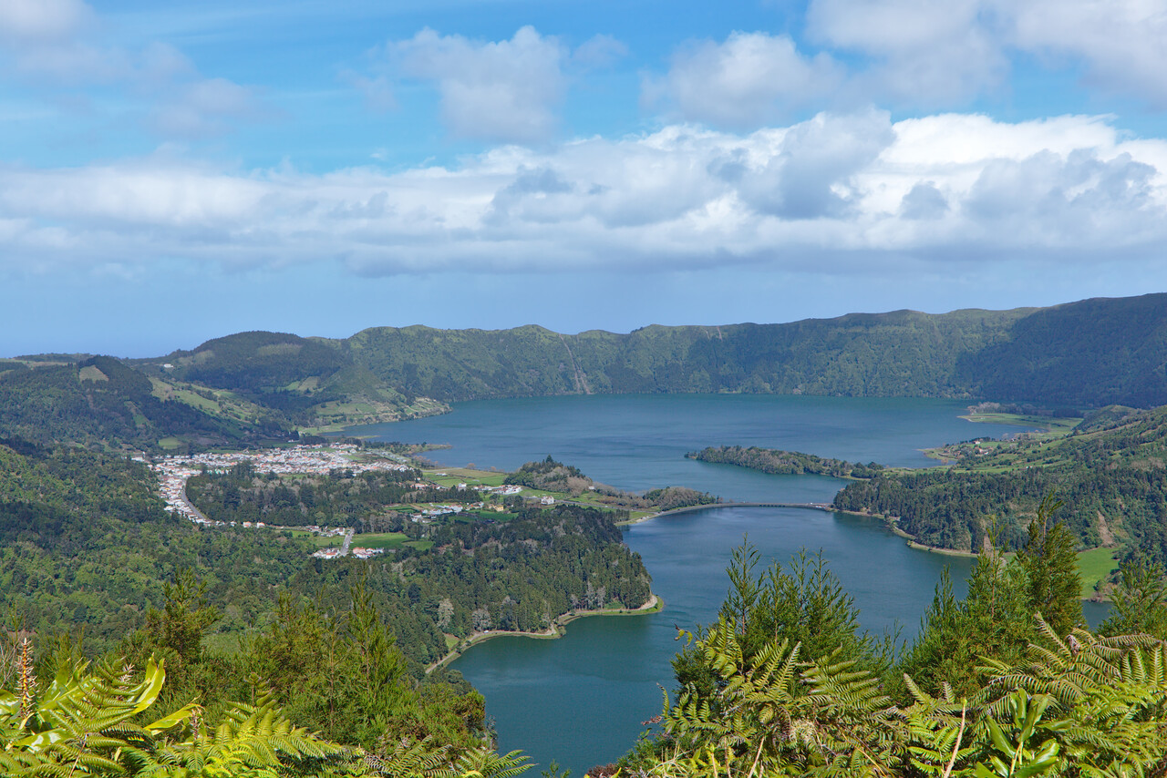
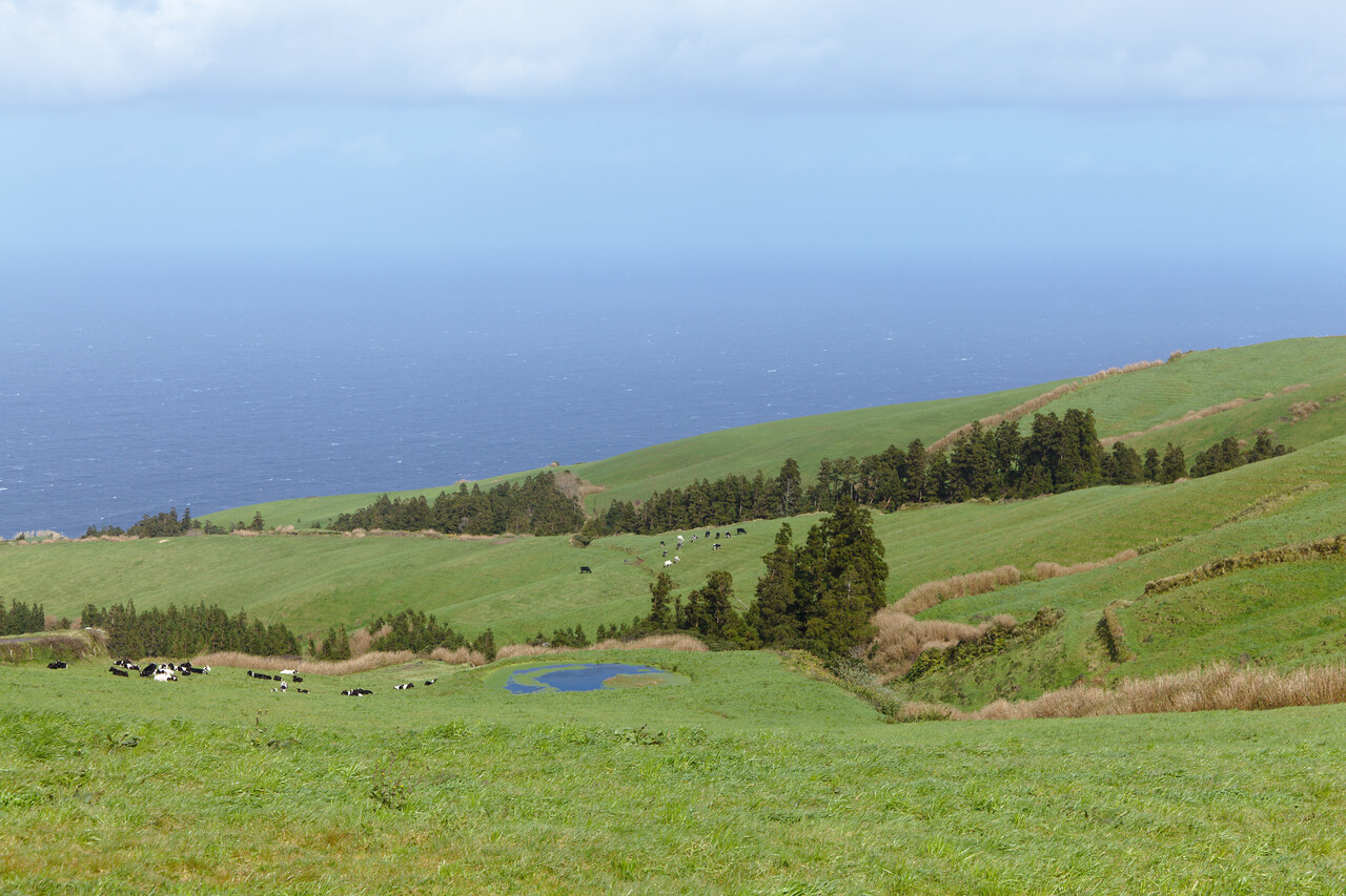
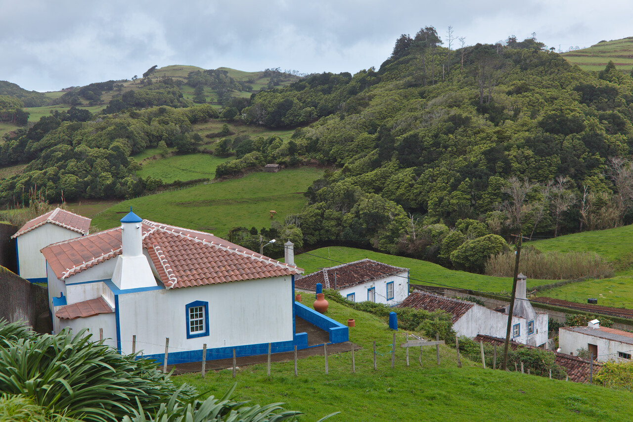
The islands are extremely lush and green. There are some forests left, but one mostly sees pastures with grazing cattle. Very much like in many parts of Germany and Britain…
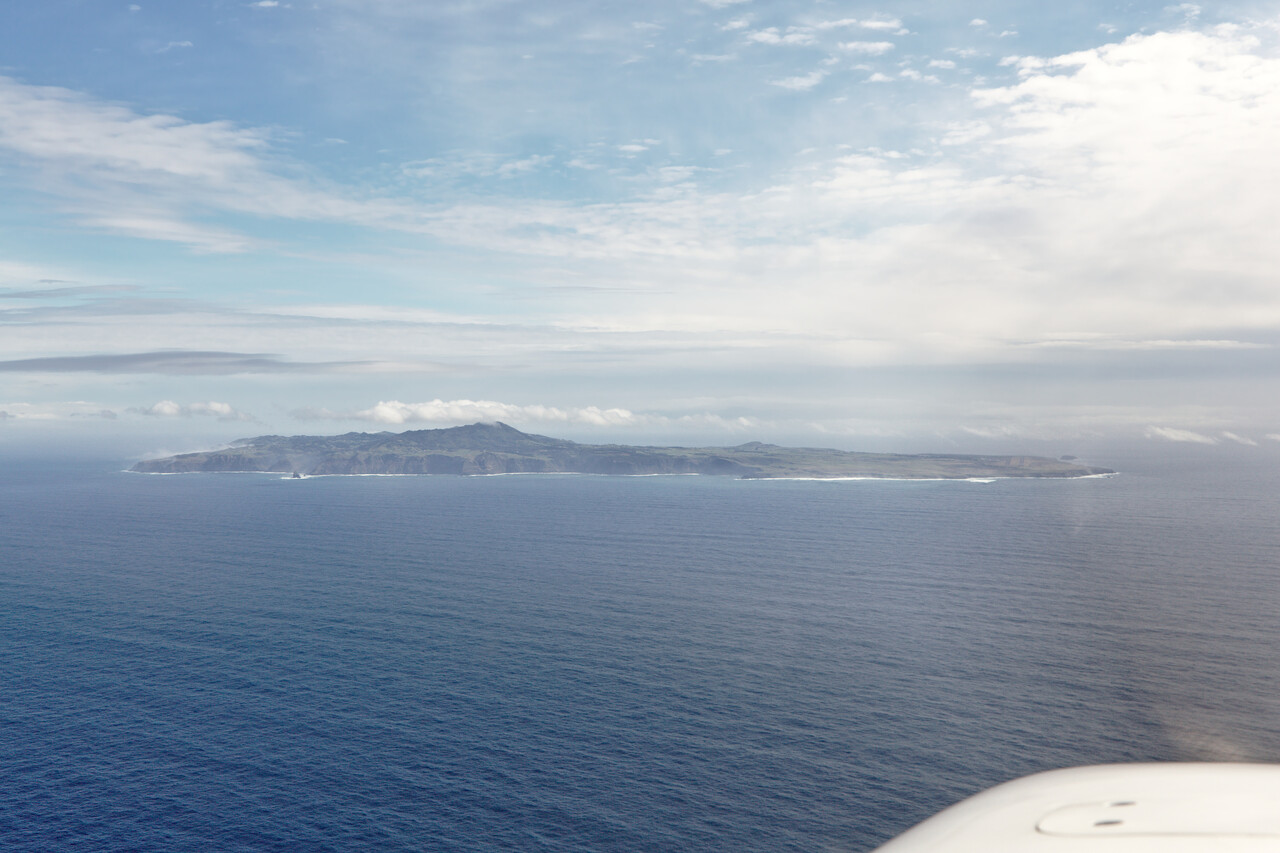
Again we waited a day longer to make sure we had really good weather for our flight to Santa Maria. We didn’t have that much fuel left and the only alternate was returning to Ponta Delgada. While this would not have been a problem, it would have meant to be stuck there without fuel. The next day however, was really nice and the flight was easy.
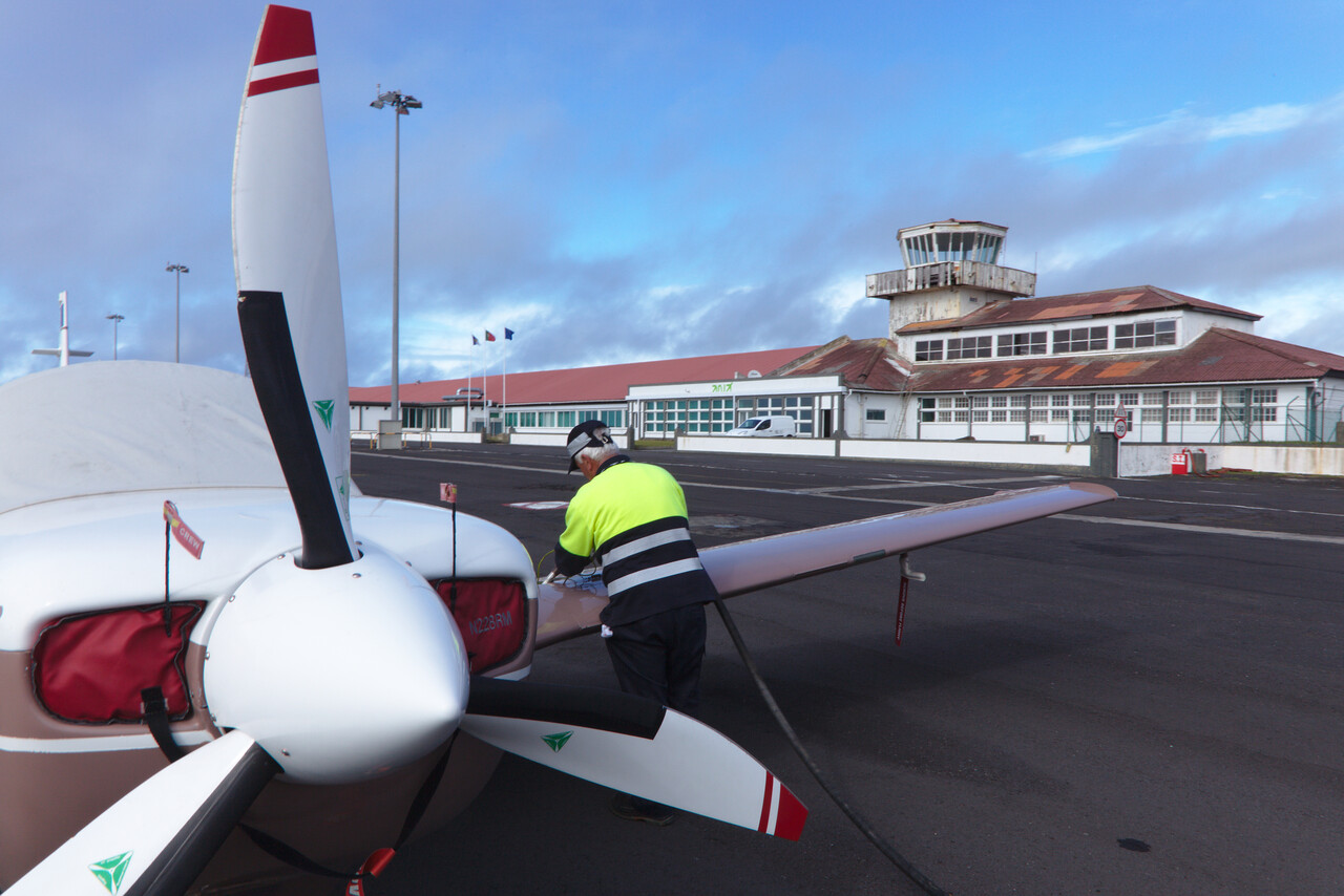
After landing we waited for the fuel truck and really felt relieved when the blue liquid finally poured into the tanks.
Even though the coming day would have been flyable we decided to stay for two nights. The day after looked even better and we will probably never come to Santa Maria again. Weather was so-so but the island is scenic as well.
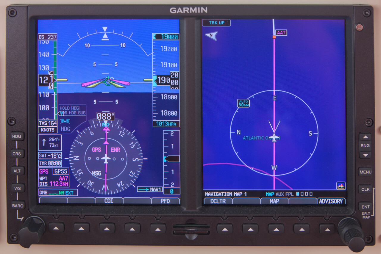
The day we flew to Cascais (LPCS) was perfect again. Absolutely no clouds at cruising altitude and very nice tailwind.
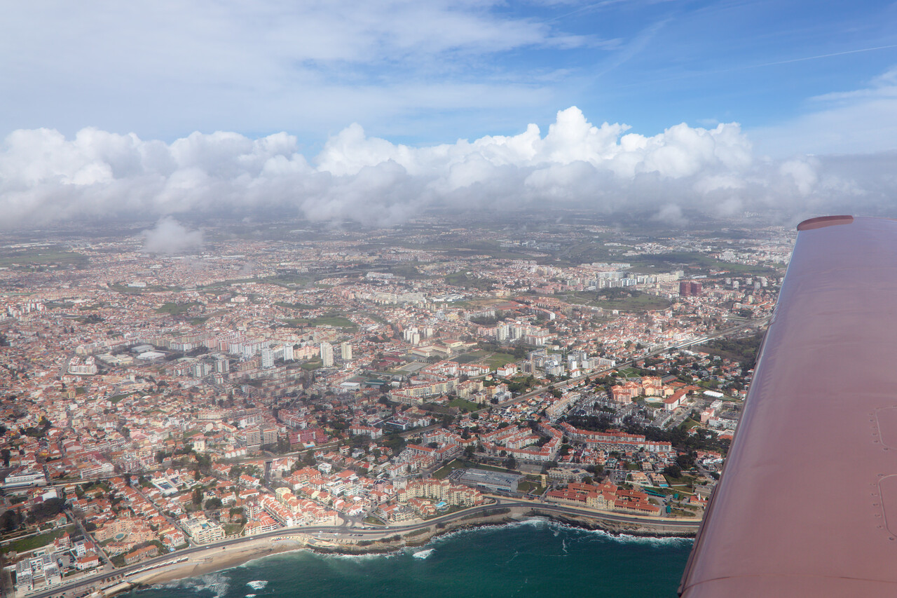
After only 3:40 we finally touched down on European mainland. We were really happy to say the least.
We have Mooney friends in Lisbon. They met us at the airport and later we spent the evening together. We had fun and of course talked aviation again.
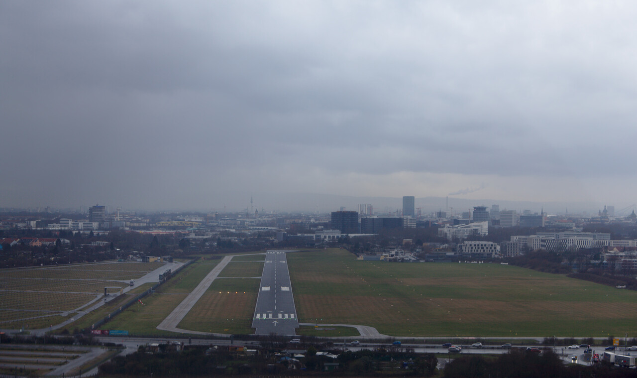
After one more miserable rainy day we continued to Bergerac (LFBE) and finally to Mannheim (EDFM), our home base. While the weather was rainy and cold, reception was warm.
In retrospect
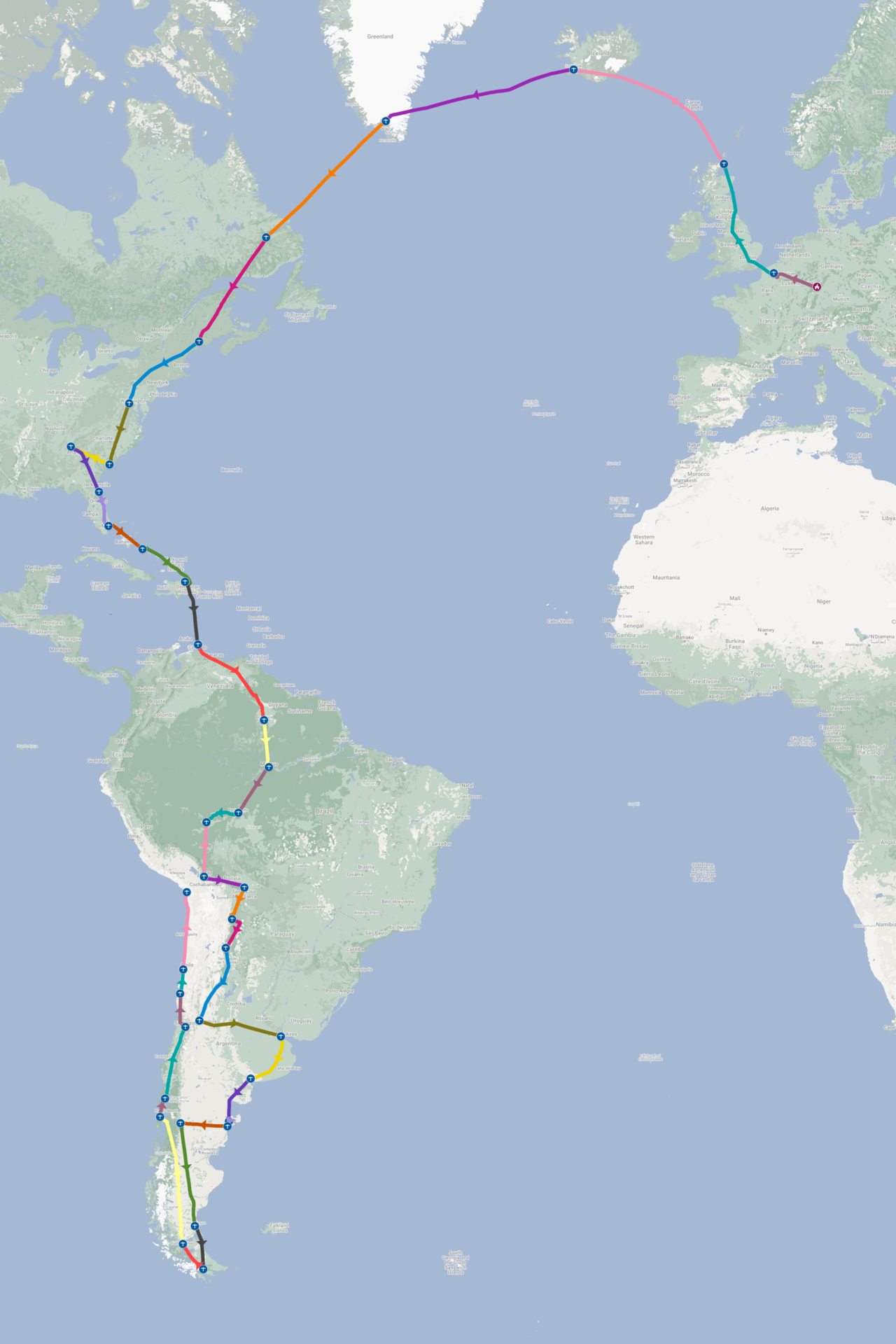
Looking back, we obviously were really lucky. We had absolutely no problem with the aircraft. After completing 24252 NM (airport to airport) in 168 airborne hours, this is a very good record, I believe.
Even the oil pressure event over Chile could be explained, we believe. We’re quite sure, that the root cause was congealed oil in the oil cooler. I had opened the cowl flaps and didn’t climb (enough) in the beginning, what made the oil way too thick. As the oil pressure is measured behind the cooler, it read low because the flow through the cooler was obstructed.
We landed at 62 airports in 20 countries (twelve of which were new to us) and overflew quite a few more. The effort for the permissions was considerable but didn’t come as a surprise. Some countries were harder than expected, others were easier. However, Spanish is absolutely necessary if you intend to apply for the permissions on your own. Spanish is also of huge advantage in dealing with ATC in many parts of South America. Portuguese would be a huge advantage in Brazil. Besides that, flying (IFR) in South America is not much different from the US or Europe.
Filing flight plans via RocketRoute doesn’t work in most of the counties we’ve been to. At least it doesn’t work like one is used to from Europe. In many countries it is expected that the flight plan is filed and signed in person at an ARO. RocketRoute doesn’t even bother to insert the necessary AFTN addresses. I tried to do so by hand in Ecuador, just to see what happens. When we called AIS, they told us that the flight plan was filed from the USA and this wasn’t possible. Obviously this would be hard to solve for RR, but considering that some countries like Chile or Brazil work, a list from RR, detailing the procedure for each country would be nice.
All in all we were rather lucky with the weather. We were flexible and postponed or brought forward our flights a day when necessary. However, this was never more than one day while we were in South America. We were hit hard by weather delays on our way south in the US (by all the Hurricanes) and again on the way home in Newfoundland and the Azores.
Flying is expensive, of course, but costs for the flying weren’t that high. There were a few expensive airports, but not even a handful, most of the others were much cheaper than what we’re used to in Europe. Fuel was considerably cheaper than in Europe in most places. The fact that we had no maintenance besides the four oil changes helped with keeping costs reasonable. Needless to say, it was a huge adventure worth every cent.