


Down to Oz
Before we left
Flying a small plane half around the globe is a major endeavor and requires some serious planning. Of course the whole idea needs some time to evolve and doesn’t come completely out of the blue. It wasn’t our first big trip, we had been to North America in 2014 and to South America in 2017/2018 with our little Mooney.
Already in 2017 when we were planning our South America trip we thought about flying to Australia instead. We decided to fly the other direction back then and the idea about flying to Oz was put on the back burner.
After the last long journey
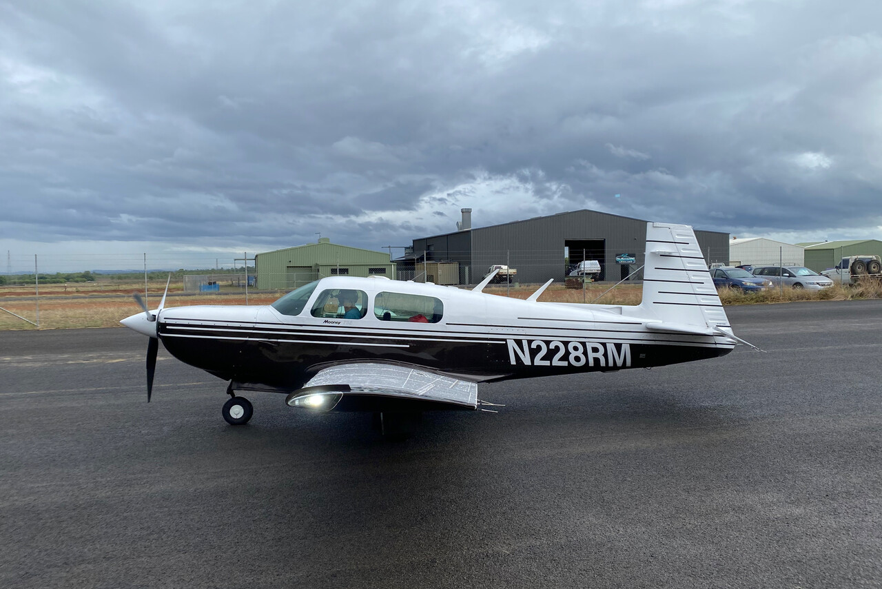
After our return in 2018 there was no discussion about a longer journey for a while. Neither could we set out for another flying adventure for a few years for practical reasons, nor did we feel like it. We talked about an unclear future project beginning of 2020 but the pandemic brought that to an abrupt halt. We completed the aircraft refurbishment process in this COVID time, we had already started to work on it 2018. So let me take the chance to introduce our Mooney — RM — and describe the work we have done.
Please allow me…
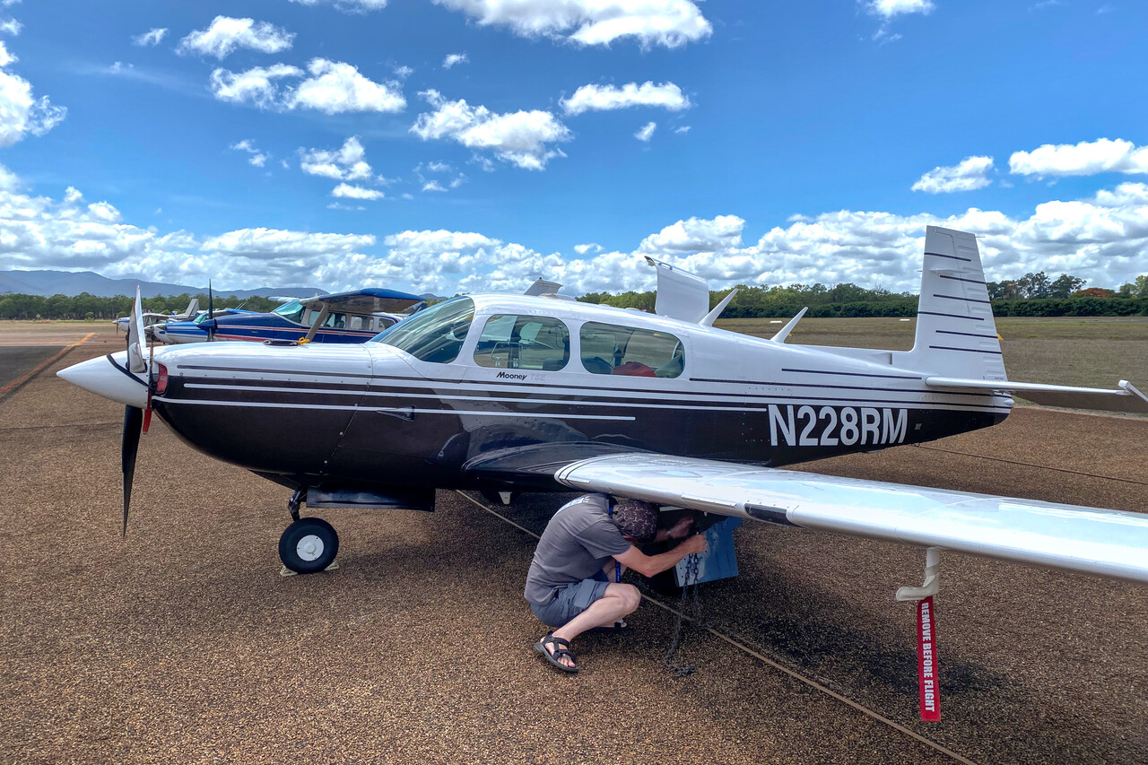
RM is an Mooney M20K 252 built in 1990. At 20% over TBO we decided to replace the engine after our return from South America. With the replacement we did an Encore conversion. The Encore is an improved version of the 252 which Mooney built in the mid 90s in very small numbers (only about 30). The conversion means replacing the Continental TSIO 360 MB engine by an SB with 220 instead of 210 hp. The main benefit is maximum takeoff mass increase by 115kg, not the 10hp. This is not an STC, Mooney have amended the TC and made the drawings available to existing 252s. It’s quite an effort, though – new counterweights are required on the control surfaces and new brakes which in turn require new gear doors.
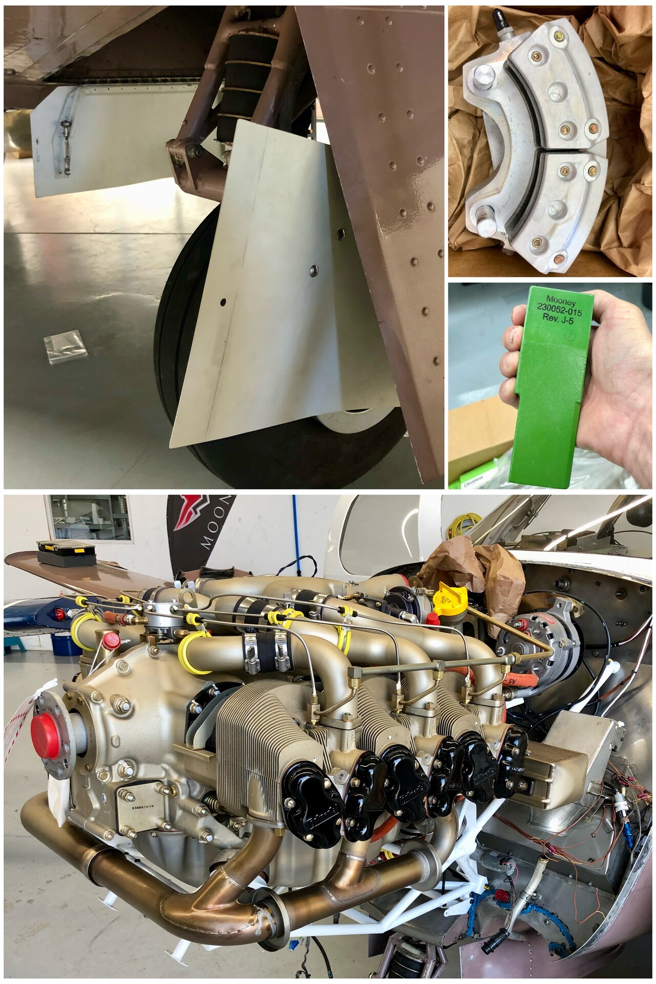
We made numerous bigger and smaller improvements of varying importance like a SureFly, an ADL150 and an LHS. I was able to do all this myself under the supervision of my A&P mechanic. Moreover, we installed new donuts (Mooney pilots will know), replaced many bushings and bolts on the landing gear and had the prop overhauled. We added ADS-B in and out and replaced the old pneumatic speed brakes by new electric ones. This way I could remove the vacuum system completely.
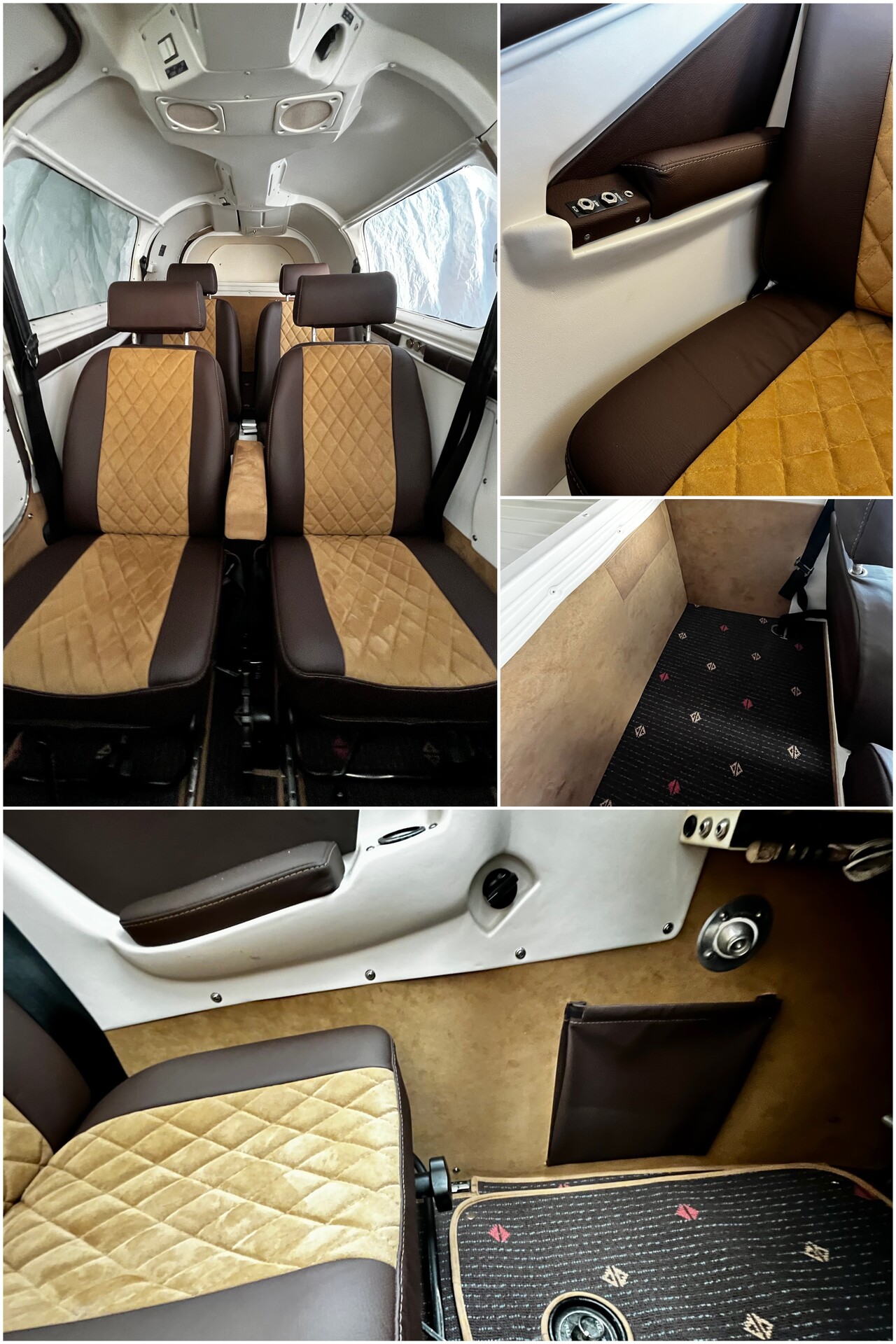
In 2022 we refurbished the complete interior. We removed all parts and had the upholstering done by a local company. While the interior was removed I flew the aircraft to our shop for the annual with nothing in it but the pilot’s seat. In the shop we replaced all windows. Well, I teared out the old ones and the A&P sealed in the new ones. Back home we reinstalled all the parts under owner privileges.
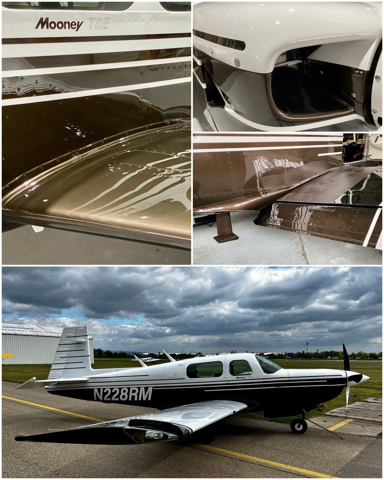
Finally it was time for a paint job which we did beginning of 2023. We chose slightly more modern colors, but we decided to stick with the original paint scheme. We felt that a 1990 Mooney should look like 1990 Mooney (we changed the scheme on the wings slightly, though). Again our A&P was happy that we removed all the control surfaces, inspection covers, gear doors and fairings ourselves, while he would only come to the paint shop at the end. He supervised me balancing the control surfaces and together we reinstalled them.
For completeness I should also mention the avionics upgrade we did. However, this was already done back in 2015, before our trip to South America.
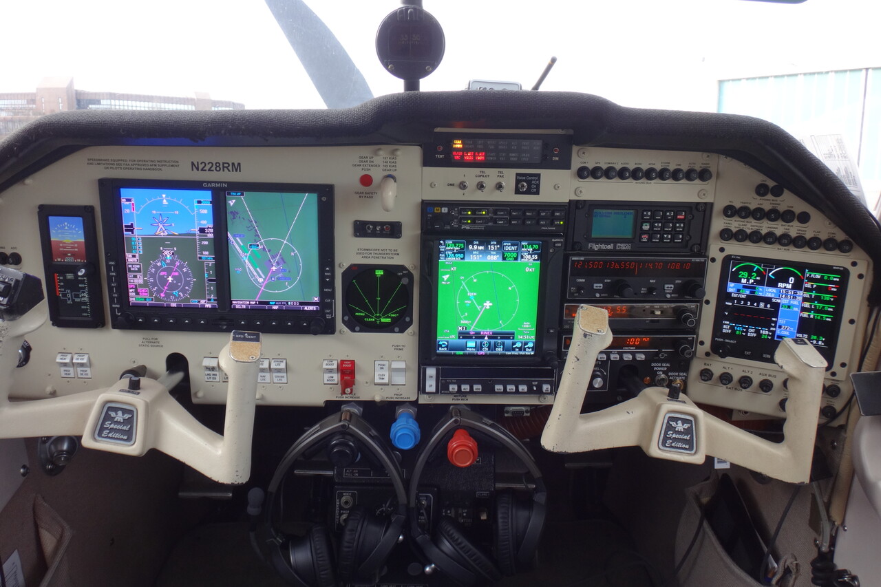
RM is a modern aircraft, as you can see, a digital native so to speak. Accordingly, she maintains a travel map, a YouTube channel and a Facebook page covering her adventures 😀.
To Africa?
It wasn’t until the beginning of 2023 that the stars aligned i.e. we were willing and able to tackle a long flying journey once again. However, we didn’t think of Australia in the first place, we started planning a trip to Africa. We’re both not into skiing or other winter sports and we don’t like the cold, so it was obvious to leave in fall 2023, skip the winter and return in spring 2024.
While we had organized all permits for the South America trip ourselves, it was clear at an early stage that we wouldn’t be able to do that for this trip. Therefore we got in contact with two agencies providing the required services. We ended up working with White Rose Aviation and couldn’t be happier. Other than that, planning worked pretty much like the last time: a shared directory for all the resources and a text file to hold the project backlog (we both have an IT background 😉).
In April 2023 the civil war in Sudan began and the airspace was closed. We wouldn’t have had to land in Sudan but we don’t have the range to circumnavigate it without refueling. After two or three weeks it was apparent that we couldn’t realistically hope for an improvement of the situation in Sudan. In the meantime I had already started to find refueling options that would allow us to fly around Sudanese airspace. The only viable fuel stop I could find was Addis Ababa where Avgas was reported to be available by internet sources. However, it was really hard to get confirmation of the actual availability by the local fueler. We finally received an answer from that company in June – no Avgas in Ethiopia. After a few days of discussion we decided not to pursue the Africa idea any further.
Australia!
We had invested quite some effort in this project already and we weren’t ready to give up completely. The same evening we buried the Africa trip, we came back to our old Australia plan. The drawback would be that no loop would be possible, we would have to backtrack essentially the way we would fly down. OTOH we would fly to Indonesia what had always been on our bucket list. We asked Mike of White Rose if he would support this trip as well. He said sure, why not.
Not all of our preparation effort was lost, of course. Maintenance schedule or non-flying organizational stuff didn’t change. Route planning however, started from zero again.
Planning
Most of the AIPs of the countries we would potentially overfly or land at are available online. However, this is of little use as the data in there is rather unreliable. While it’s OK to find out whether an airport is a port of entry or not, information on the availability of Avgas is useless. Once or twice we could get Avgas where the AIP doesn’t mention it, mostly it was the other way round, though: no Avgas, even the AIP says there is and no NOTAM either. Interestingly there is not a lot to be found on the internet in this regard. The only way to get reliable information is via local contacts and therefore the services of an agency like White Rose are invaluable. With reliable information on Avgas availability I was able to come up with a feasible route to Australia.
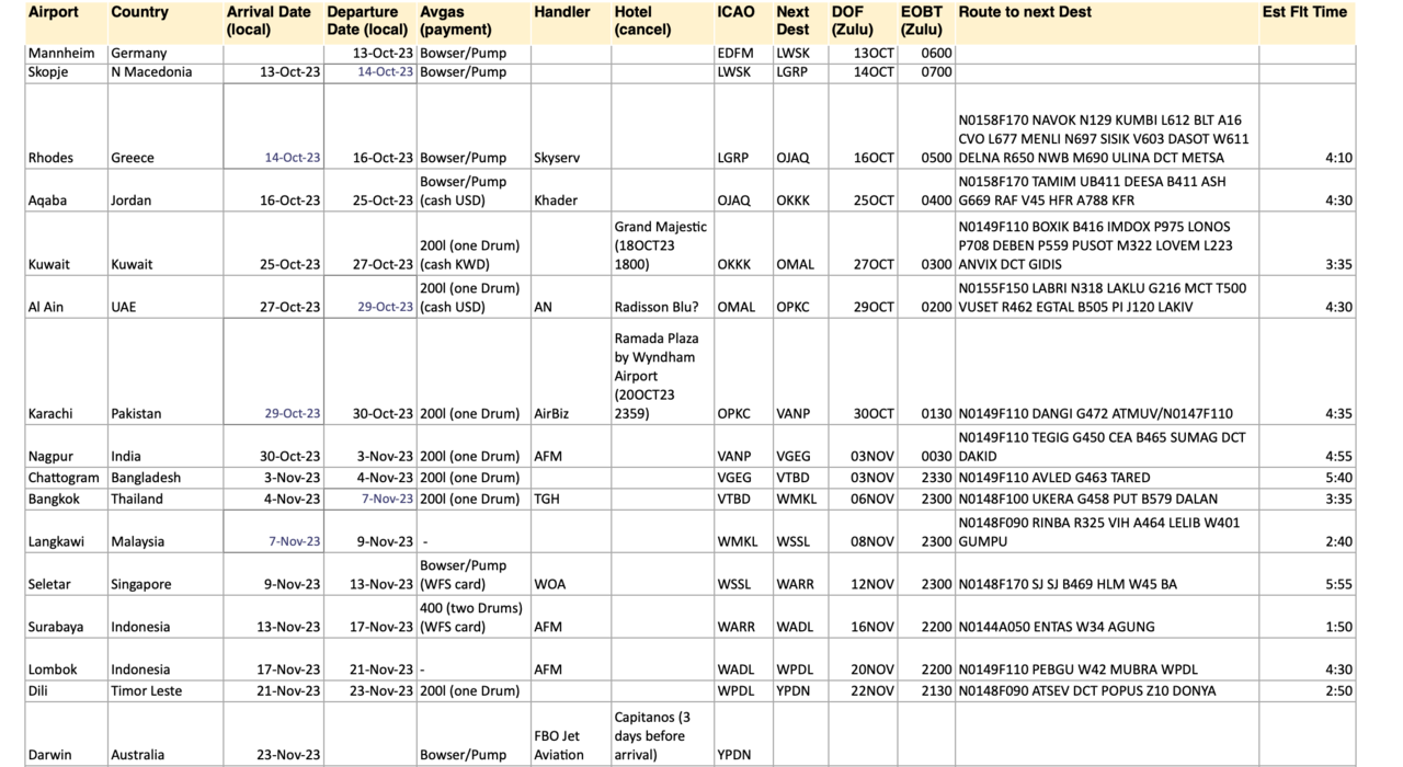
The next step was to finalize our schedule and create an Excel sheet with all the data. We would later have to update this spreadsheet while we were on the journey, but right from the beginning we needed flyable routes and estimated flight times. Only this way we could order fuel what has to be done well in advance in some places.
Ready to go
We regarded the flights from Greece to Singapore as sort of an aircraft ferry, i.e. getting it done was our main focus. We would be flying tourists in Indonesia and of course in Australia with more emphasis on things to do besides flying. The same planning would be necessary for our way home, but we would do that in Australia. We made it to Oz and back after all, even though not everything worked out exactly as planned, especially the stops in Indonesia. We added a stop in Jakarta on the way back which we actually hadn’t planned and we were able to visit Egypt before we returned to Europe. The following is a report on our journey in detail.
To Indonesia
I have a soft spot in my heart for Indonesia. As a backpacker I went to this country in the late 80s and spent a couple of months there and I’ve been returning ever since. I hadn’t met Tina back then but since our first visit together in the 90s she shares my love for this country of 17000 islands and hundreds of volcanoes. Obviously it was tempting to fly there under our own steam and we’ve been musing with this project for years. Unfortunately it’s not around the corner from Germany and the countries in-between are not the easiest for small GA.
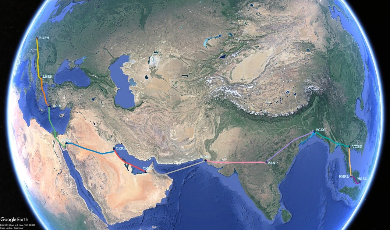
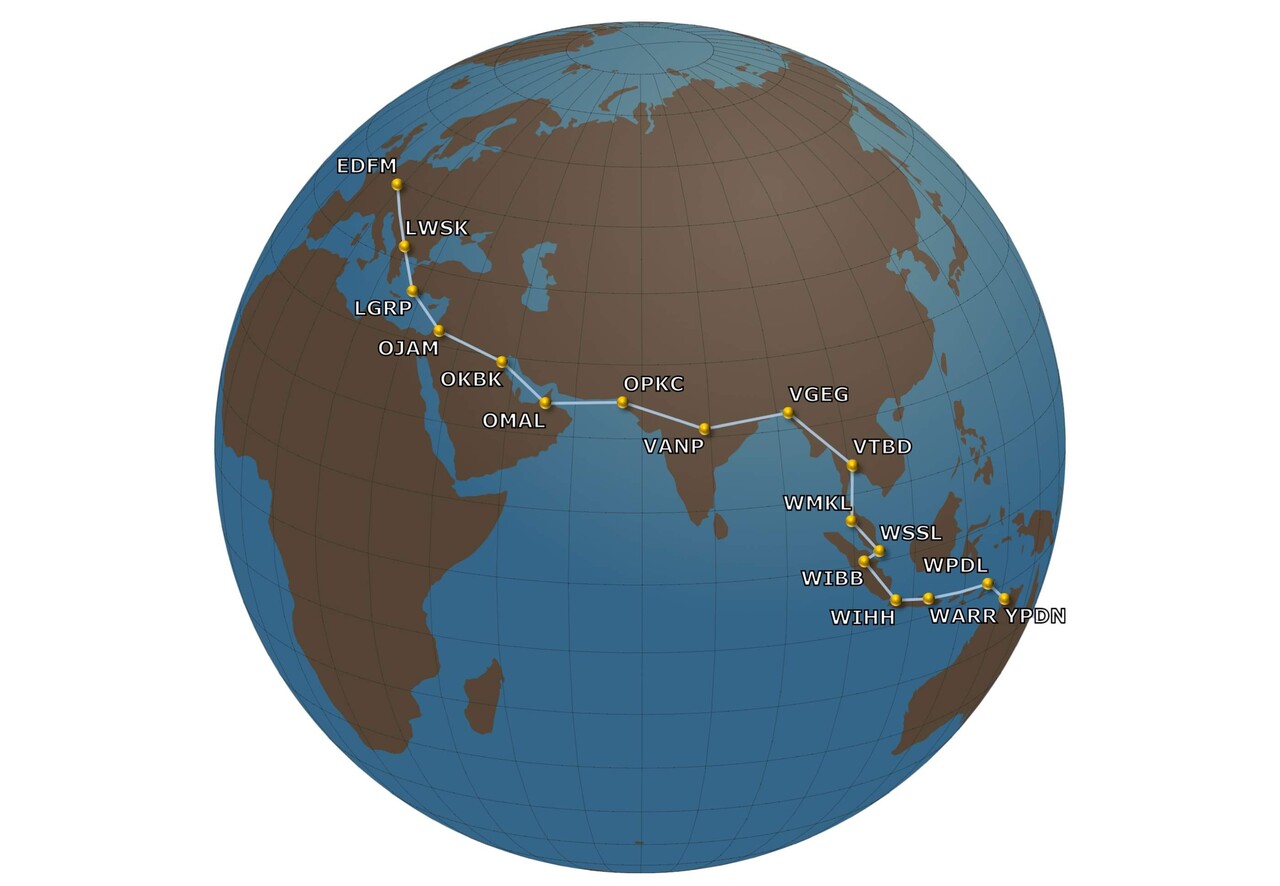
The route we took was completely dictated by the availability of Avgas. Even though we didn’t really choose our destinations deliberately, we didn’t want to make it a mere aircraft ferry. Therefore we tried to stop for two nights wherever possible (or sensible) to at least see a little of the place and – important to us – try the local food. There is not much to say about the countries we passed on our way with respect to general aviation: they are all expensive and not used to small piston aircraft.
The way to Indonesia wasn’t all plain sailing, we had to deal with a couple of issues. The first one was the terrorist attack of Hamas and the following war that broke out five days before our departure. We had planned to overfly Israel to get to Amman, OJAM in Jordan and already had the permit to do that. It would have even been possible when we were to do it, but we didn’t want to take the chance. All airliners on that route took a big detour via Egypt, so we did the same.
The first legs
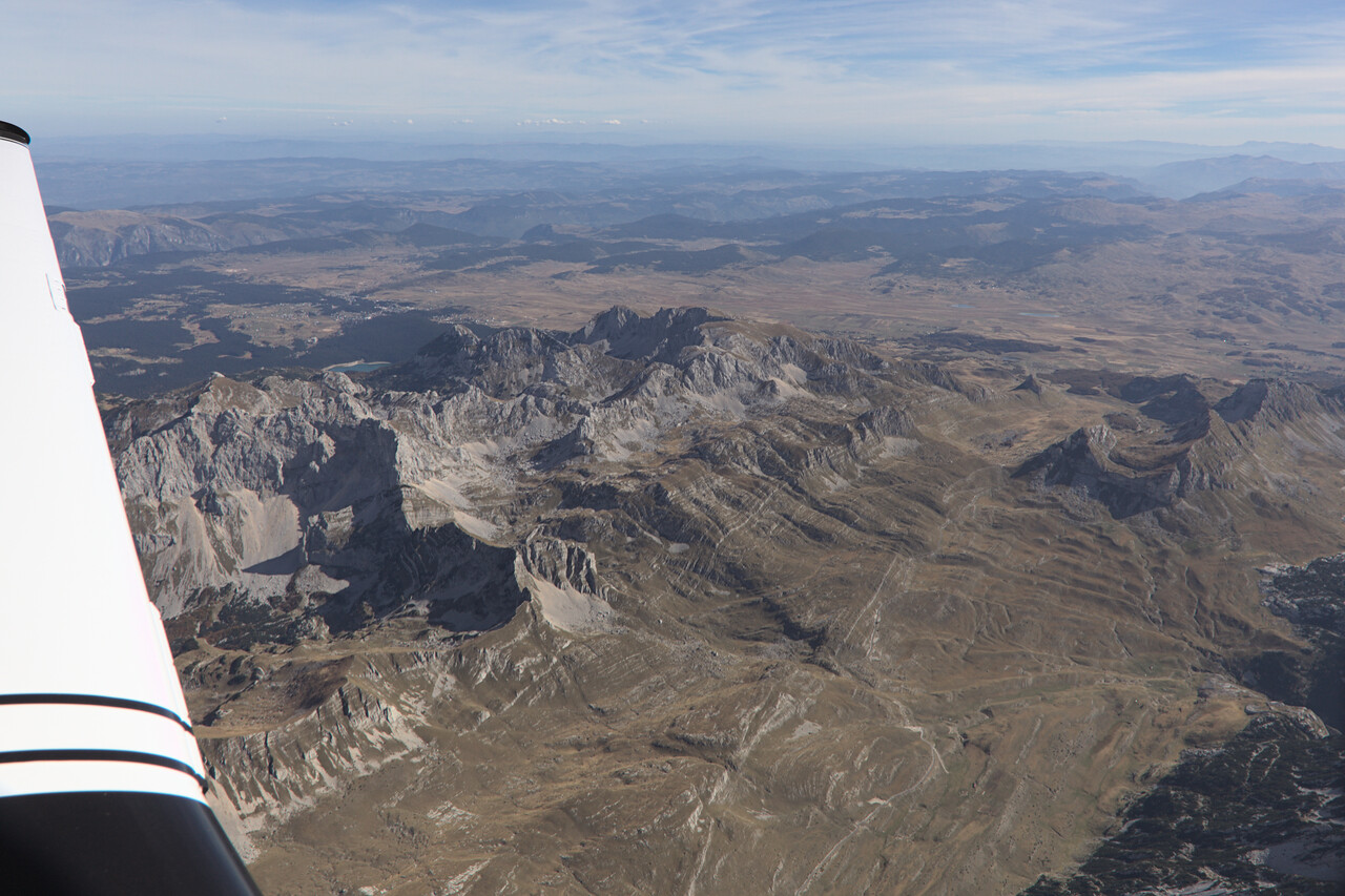
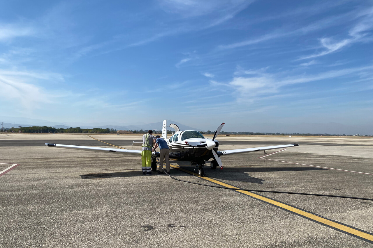
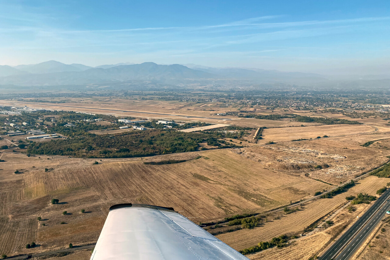
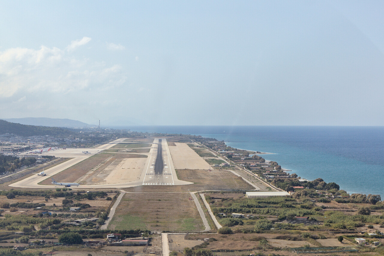
We left home middle of October and flew to Skopje, LWSK on the first day. Avgas there is probably the cheapest in Europe. The next leg took us to Rhodes, LGRP where we had our first non-flying day. This was all known terrain and uneventful.
Jordan via Egypt
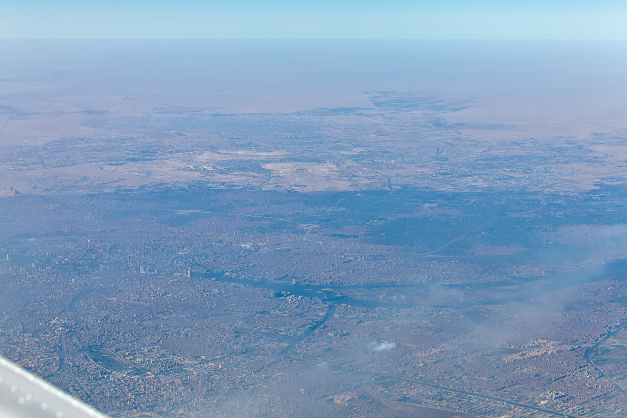
The first ‘serious’ leg took us via Cairo and the Sinai peninsula to Aqaba, OJAQ in Jordan. This was the first time a permit was required and it worked like a charm, thumbs up for our agency. The flying was nothing to write about, nice weather and a smooth ride at FL170. However, radio communication over Egypt was chaotic, no shortcuts were available, so we had to fly quite a dogleg and ATC put us overhead the airport at FL130. Well, procedures seem to be like that.
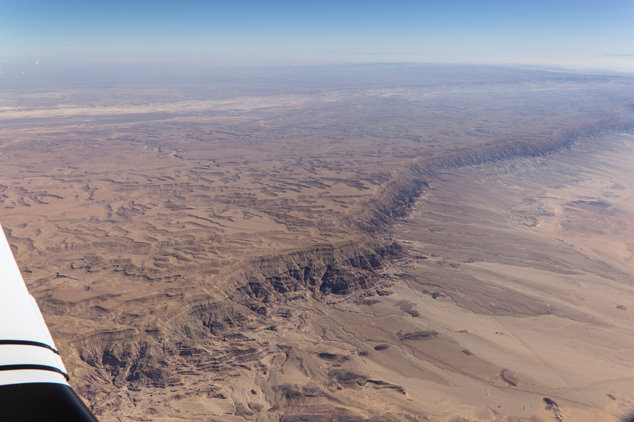
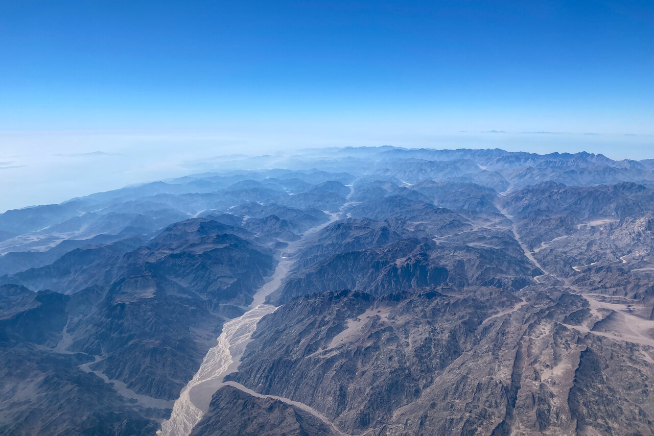
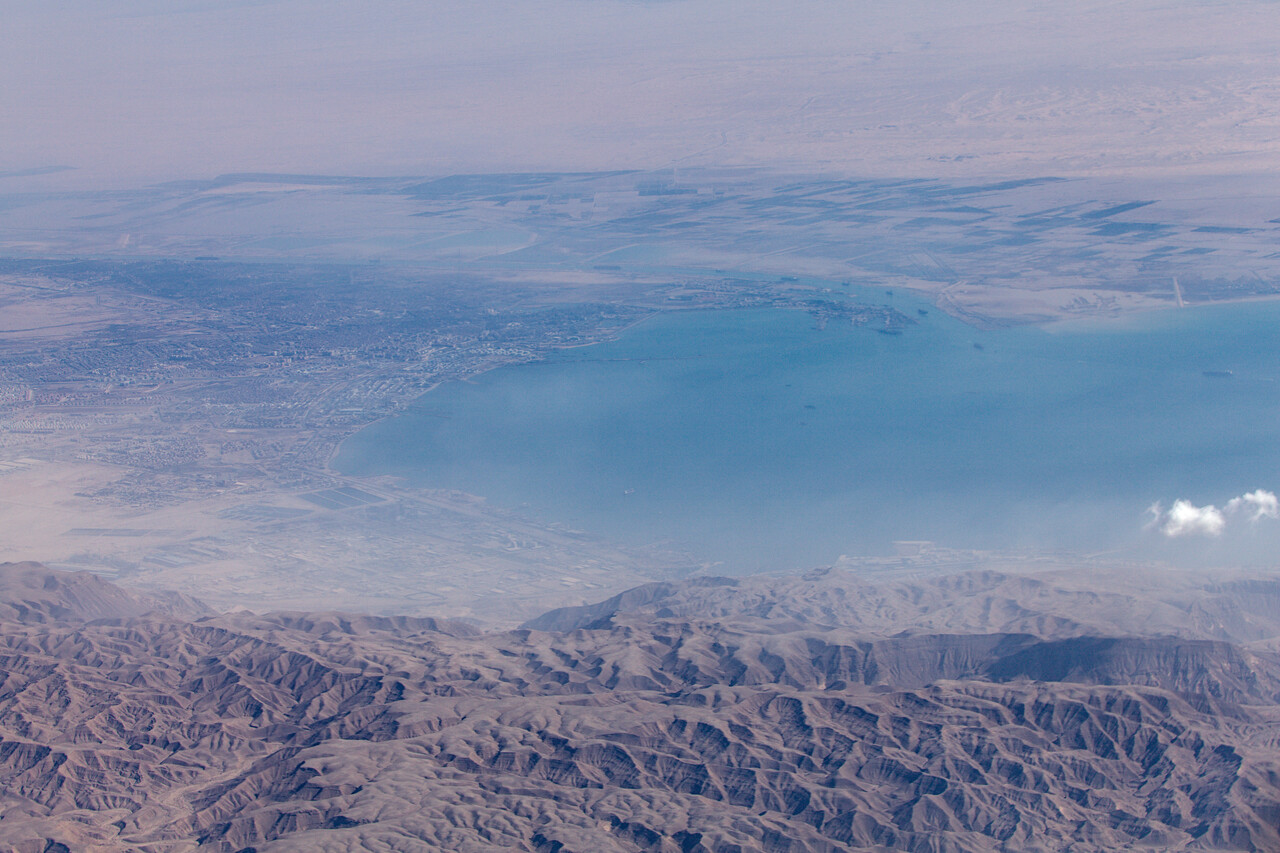
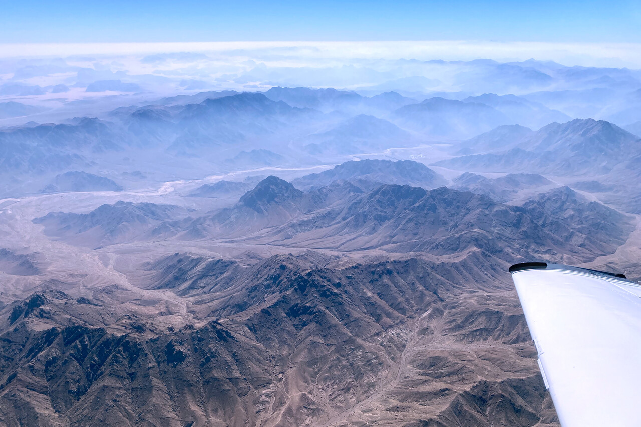
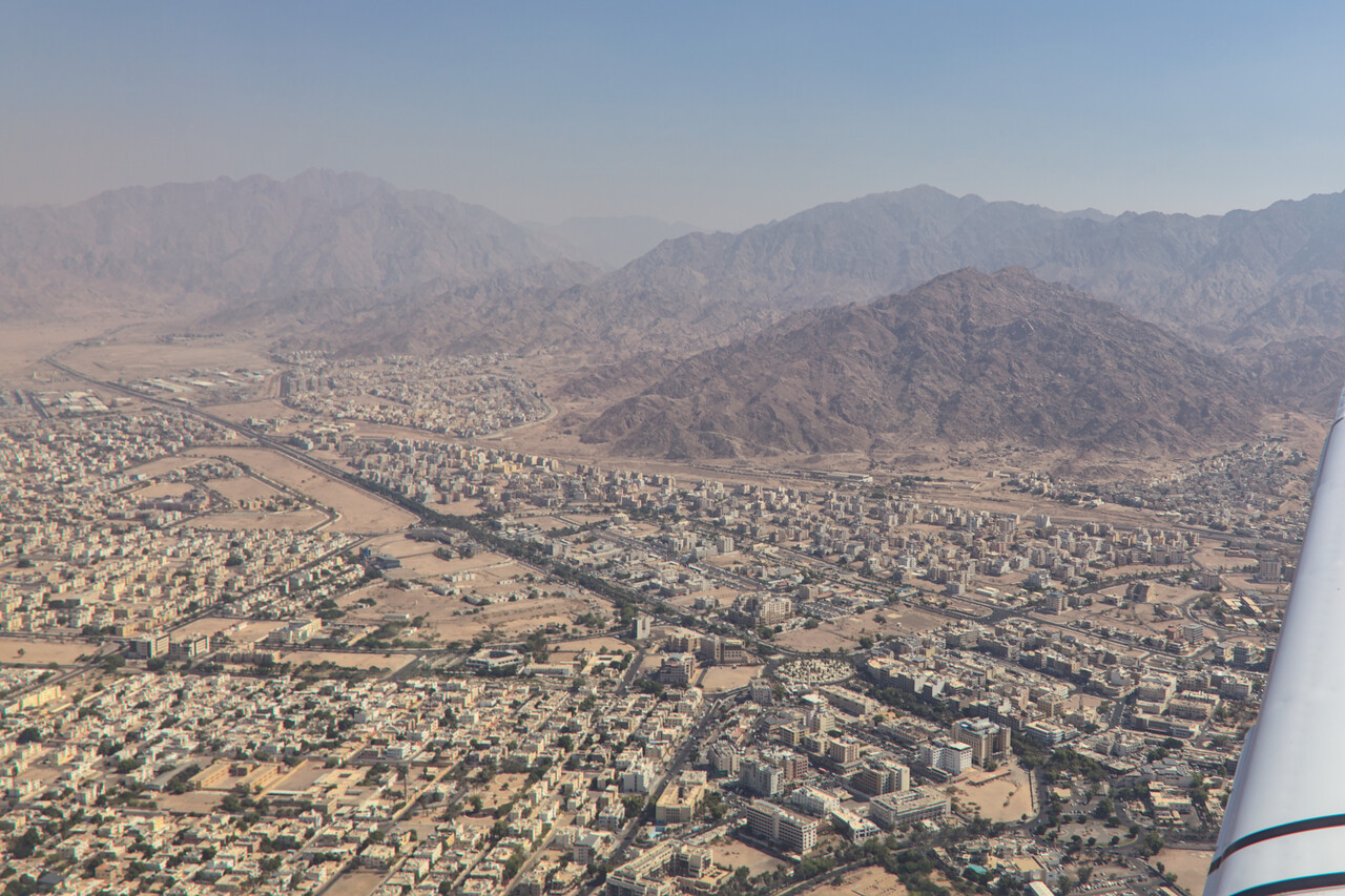
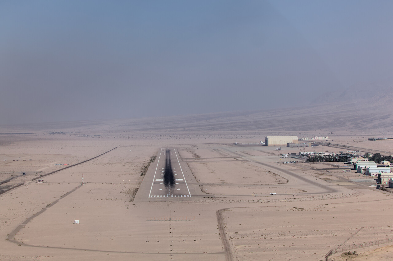
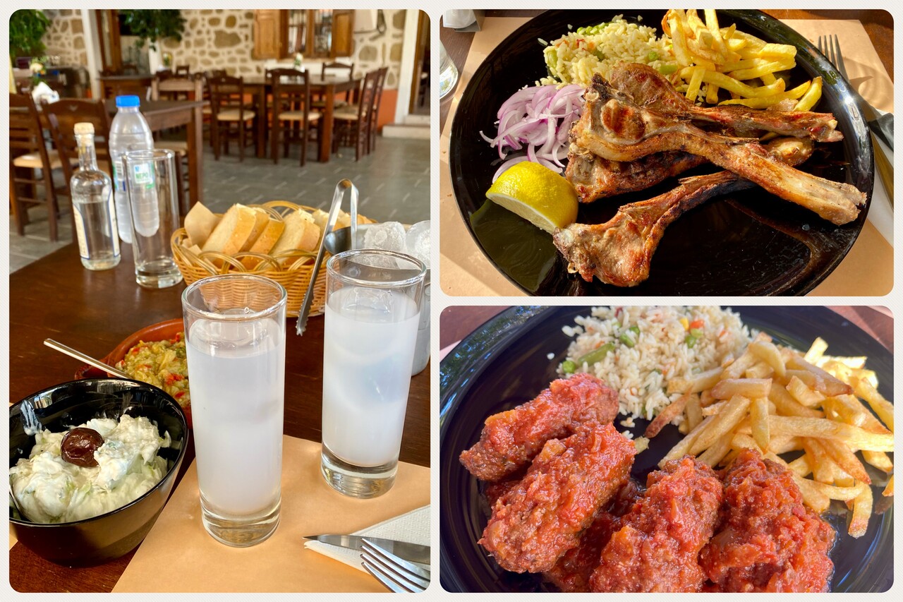
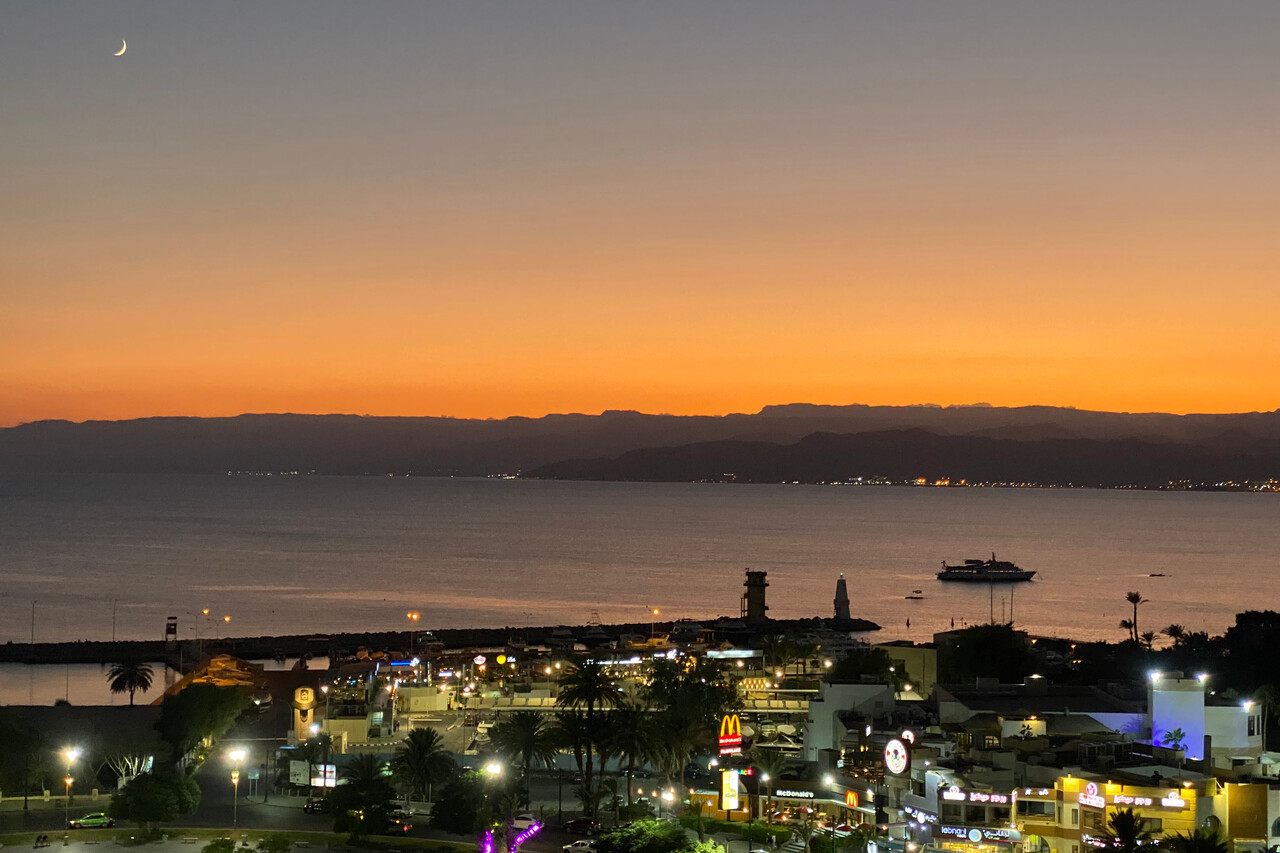
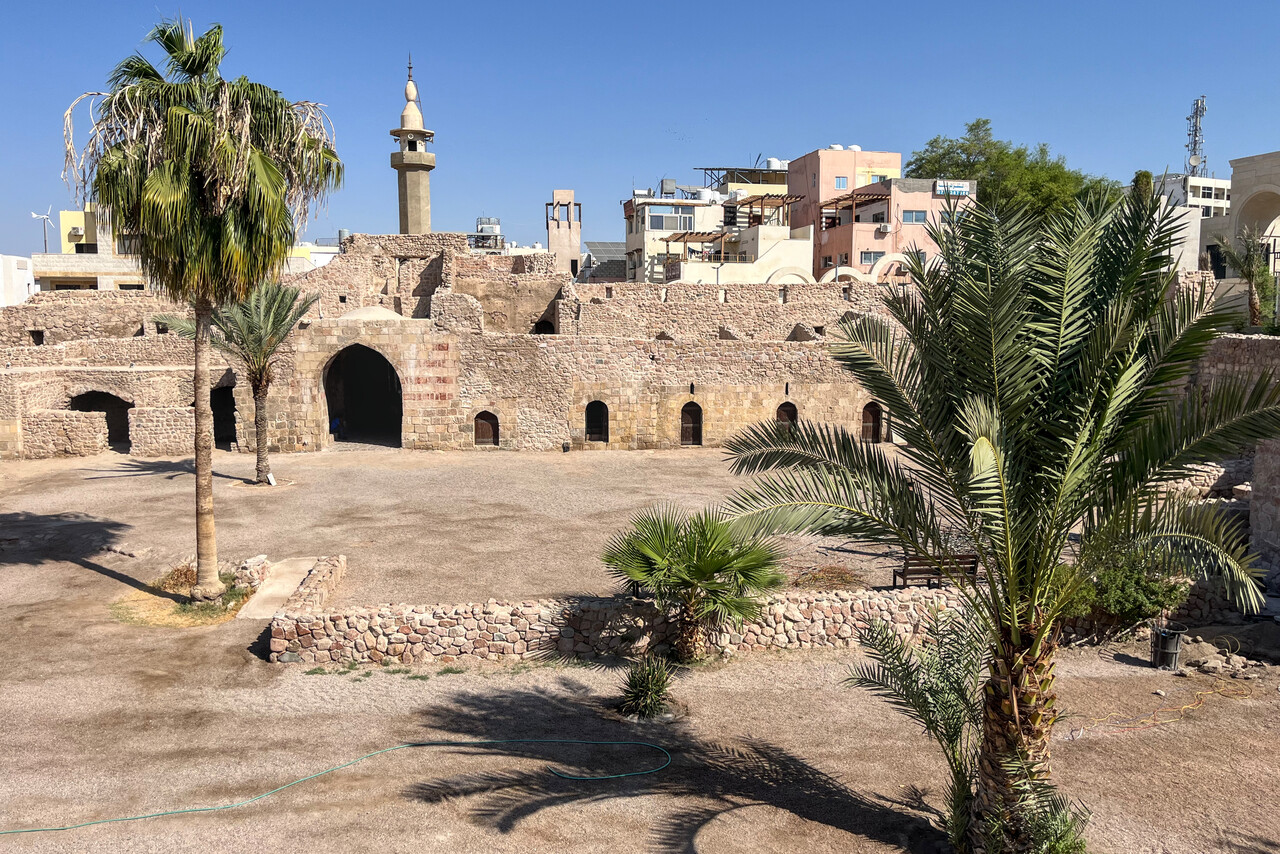
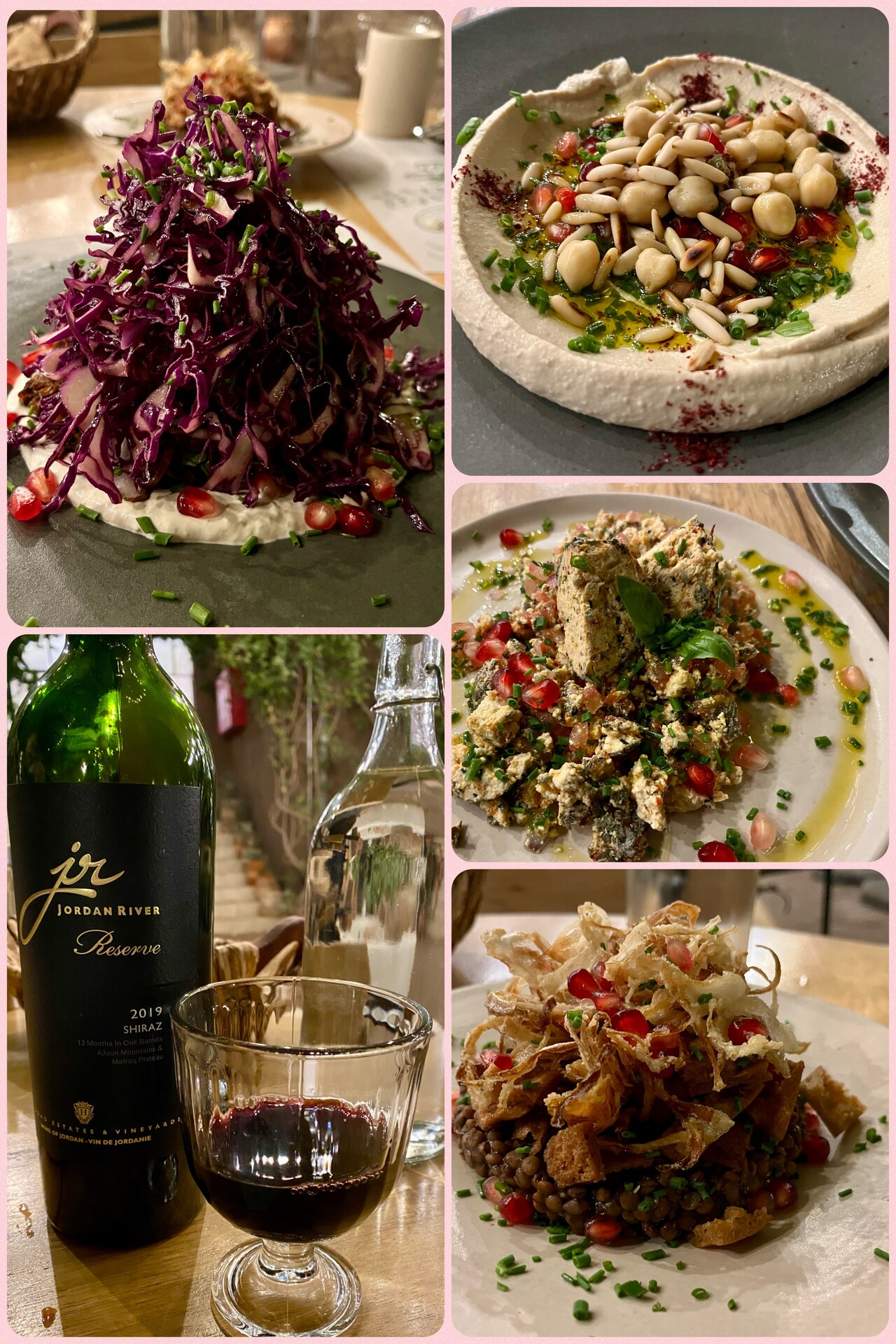
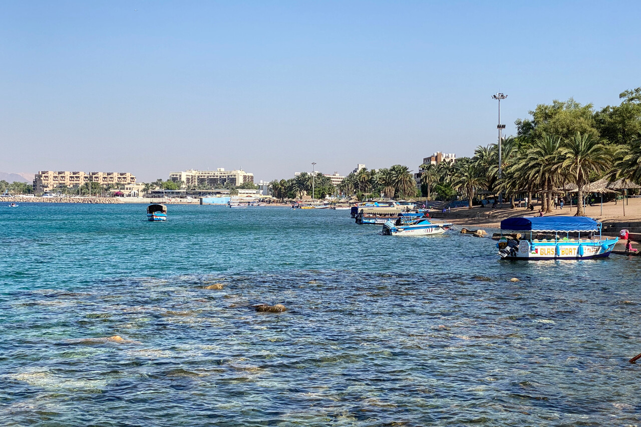
We had been to Jordan a decade ago and had already visited almost all the major sights of this rather small country, therefore we didn’t intend to stay more than two nights. Aqaba is a seaside town and quite touristy. It’s noisy and crowded, OTOH it provides all services travelers might need. The town is compact and can be seen in half a day. There are many restaurants catering to visitors from all corners of the world. They even make wine in Jordan that goes well with the local food.
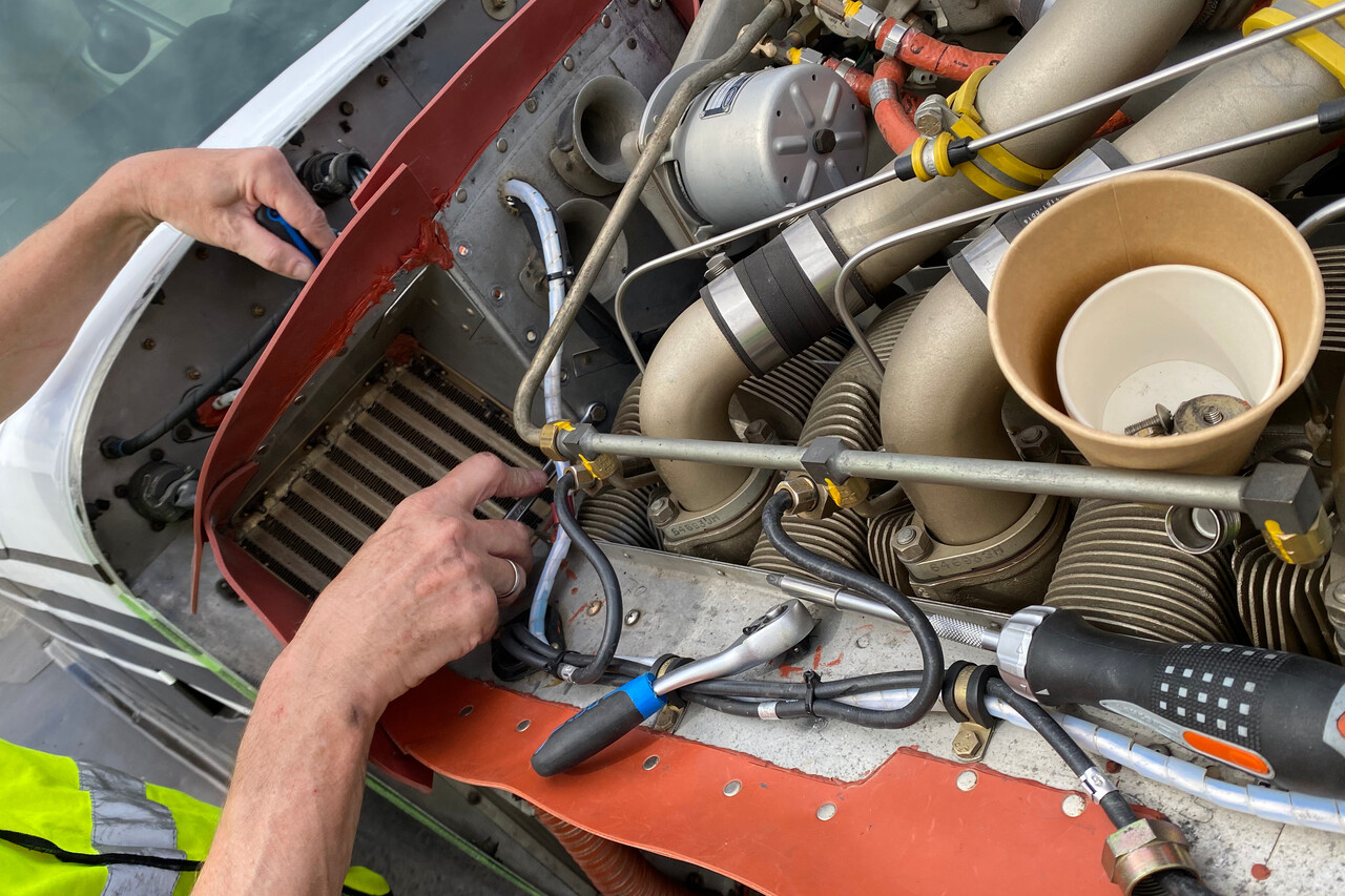
On the day of our intended departure the next issue surfaced: a technical problem with the plane. It took us a whole week to solve it.
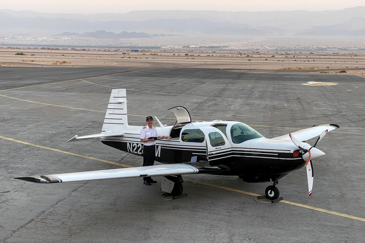
The FBO at OJAQ has a very nice GA terminal, friendly and helpful staff and even an own apron with easy access to the aircraft. Handling was expensive but the service provided was good.
Kuwait via Saudi Arabia
As always we took off early at OJAQ to benefit from the cooler air and better performance. We probably were a bit naïve but we didn’t check the weather for the flight to Kuwait, OKKK until the morning we left and it took us by complete surprise that convection and icing was forecast for the last third of the flight. We had never been to this part of the world before but this was the desert, after all! Sure enough we entered IMC after about three hours and started to collect a little ice. We had lost contact to ATC even at FL170, but an airliner relayed our request for descent and it was approved immediately. We had to fly through showers for quite a while. Towards the end of the flight it was hazy, not much to see even down low.
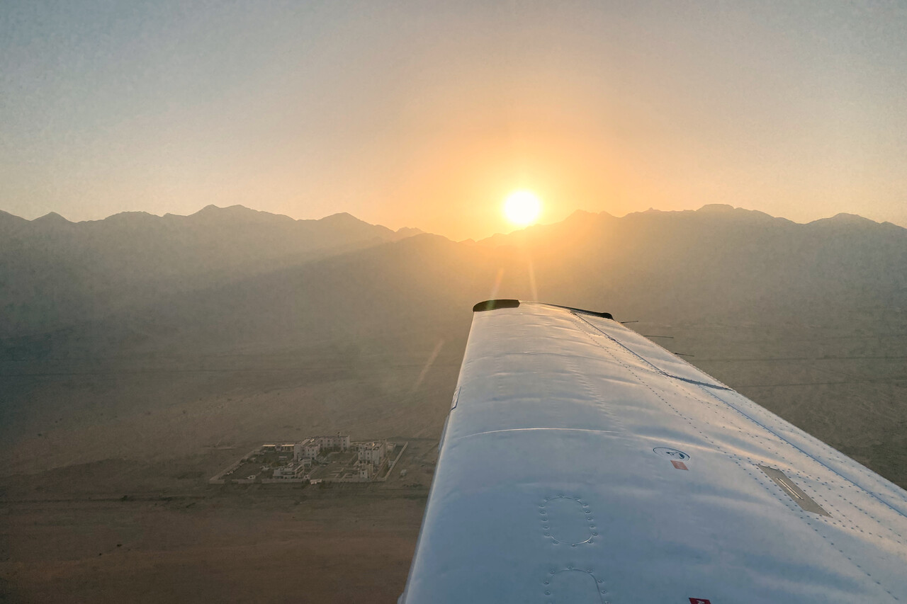
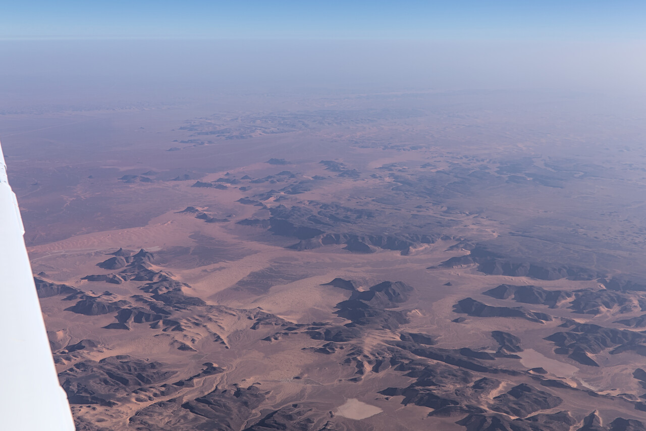
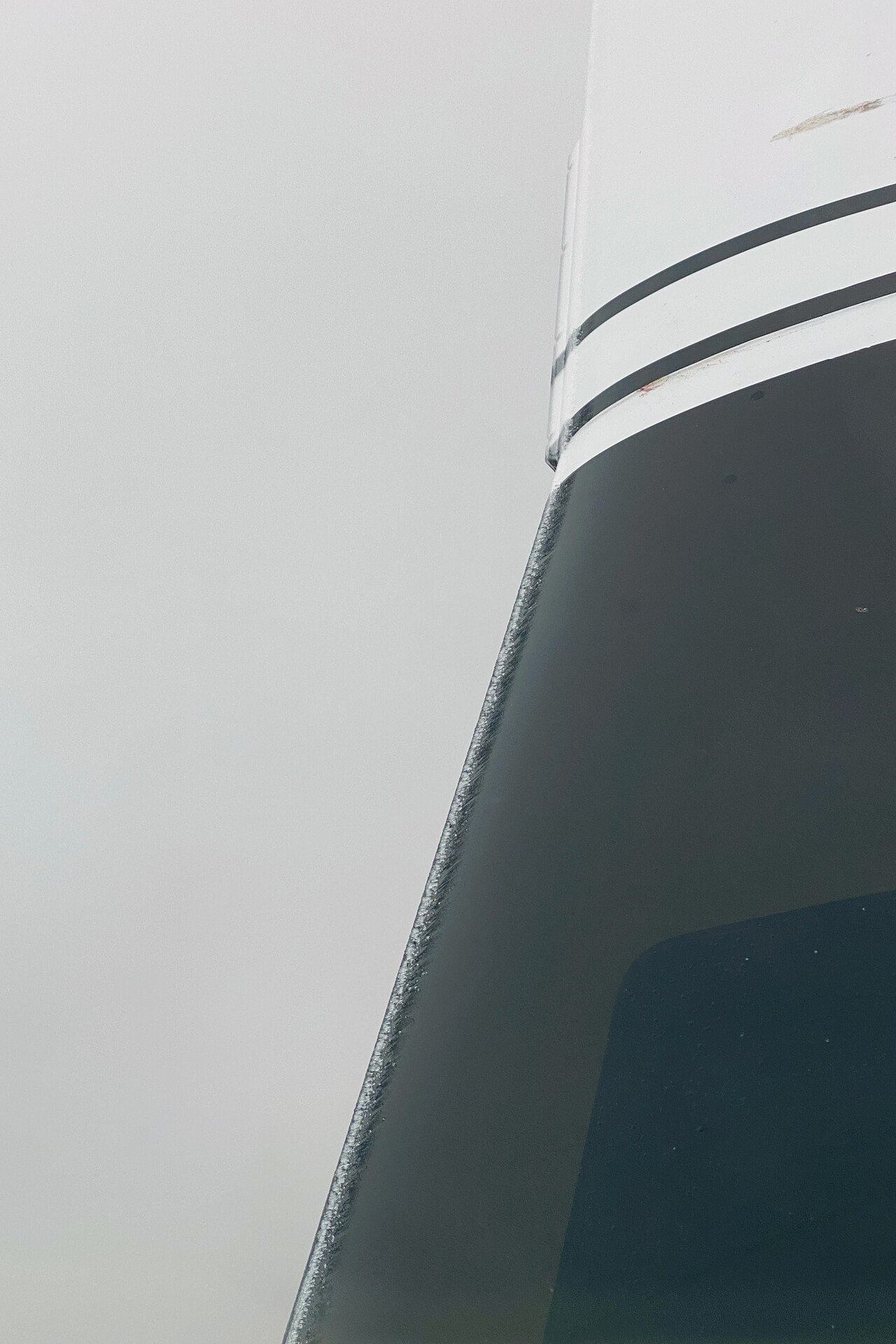
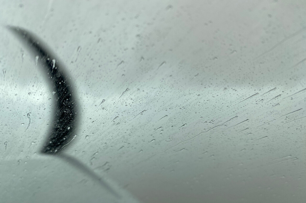
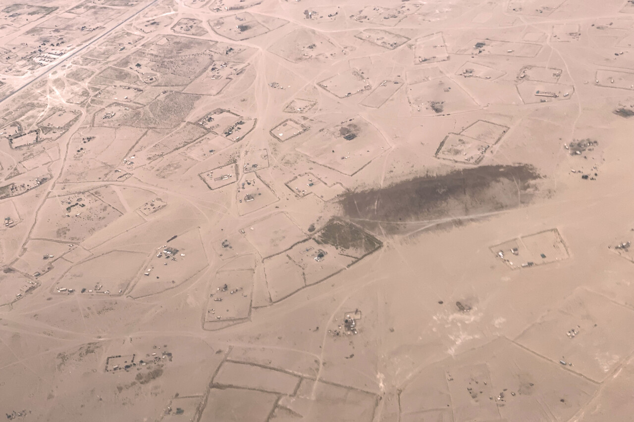
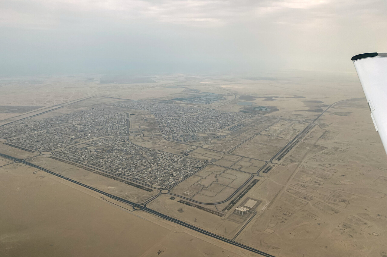
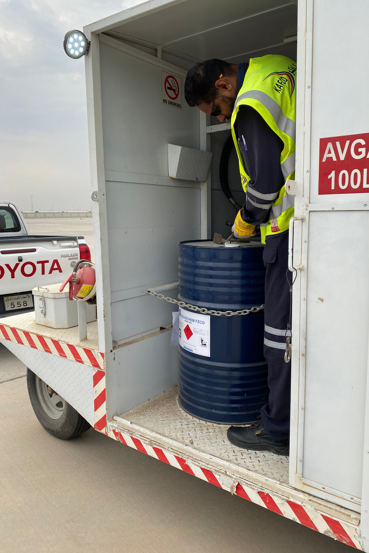
OKKK is a large airport with two long parallel runways. Many taxiways were blocked at the time of our visit due to construction work on a massive new terminal. Avgas comes in drums and can only be paid in the local currency (KWD). We had to get sufficient amounts before we left Germany. It took an hour and a half till the fuel arrived, luckily it wasn’t that hot on that day.
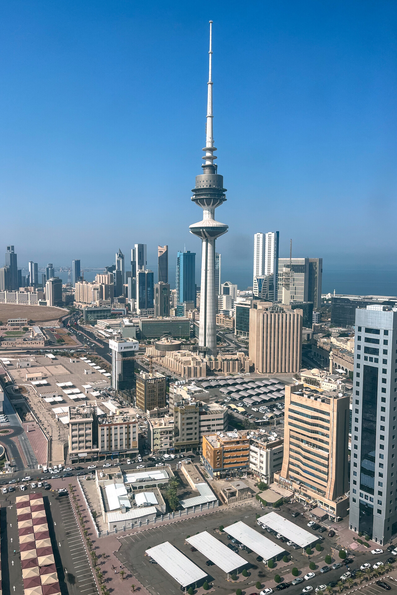
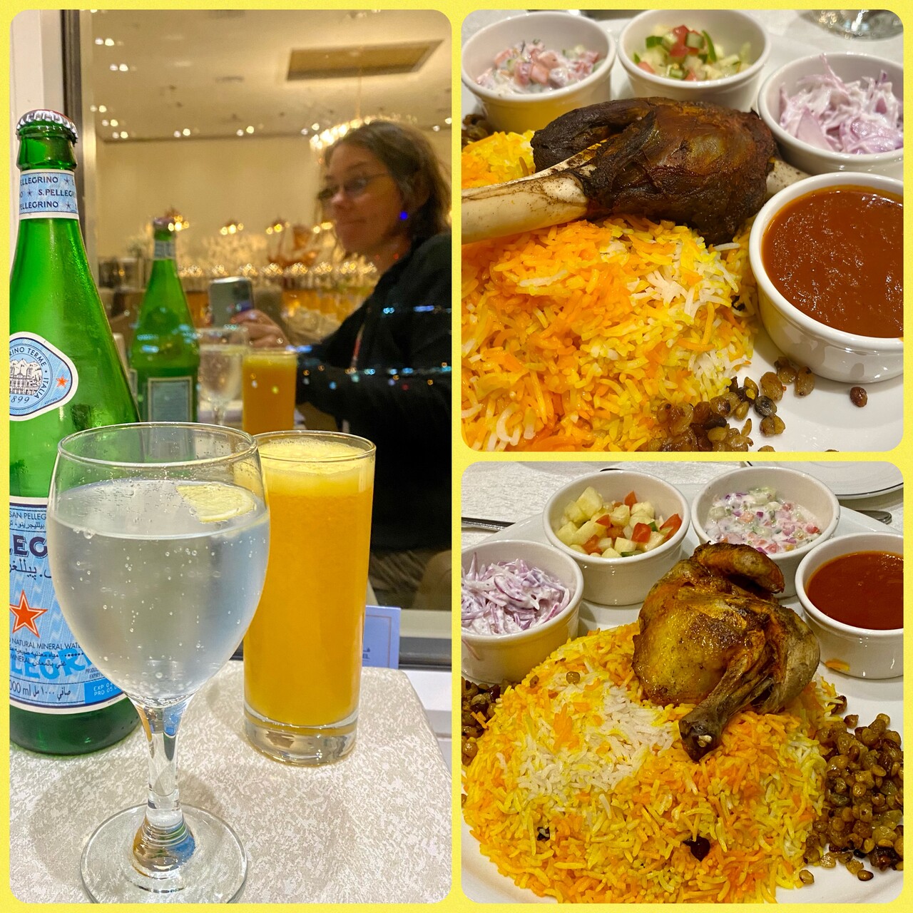
Kuwait City is an interesting place to visit even though it doesn’t boast any real attraction. It’s lively and still a bit rough around the edges. It has nothing of the somewhat artificial feel of Abu Dhabi (see below). Apparently many migrant workers from South Asia live here and that influences the atmosphere at least in some quarters. We tried to sample the local food, if only in our hotel’s restaurant and it was surprisingly good. It has to be enjoyed with water and juice though, as Kuwait is completely dry.
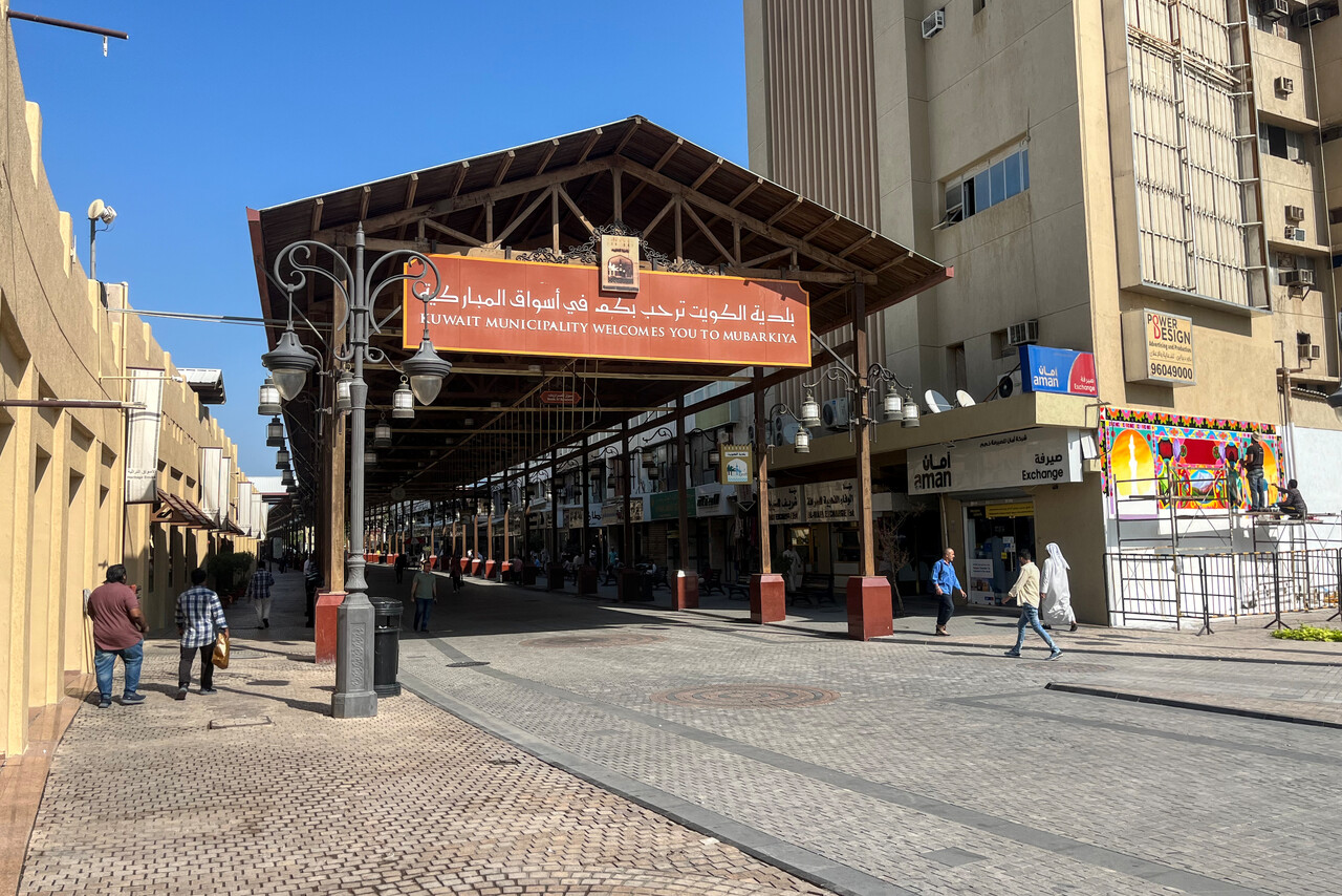
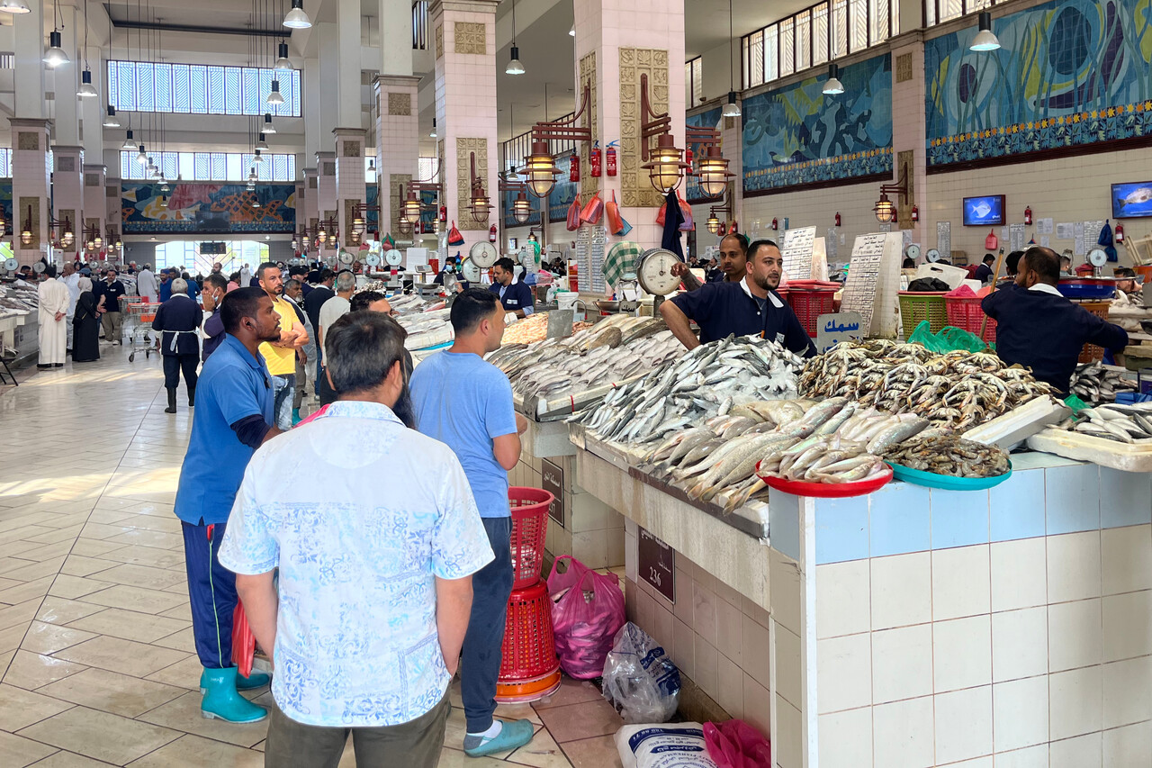
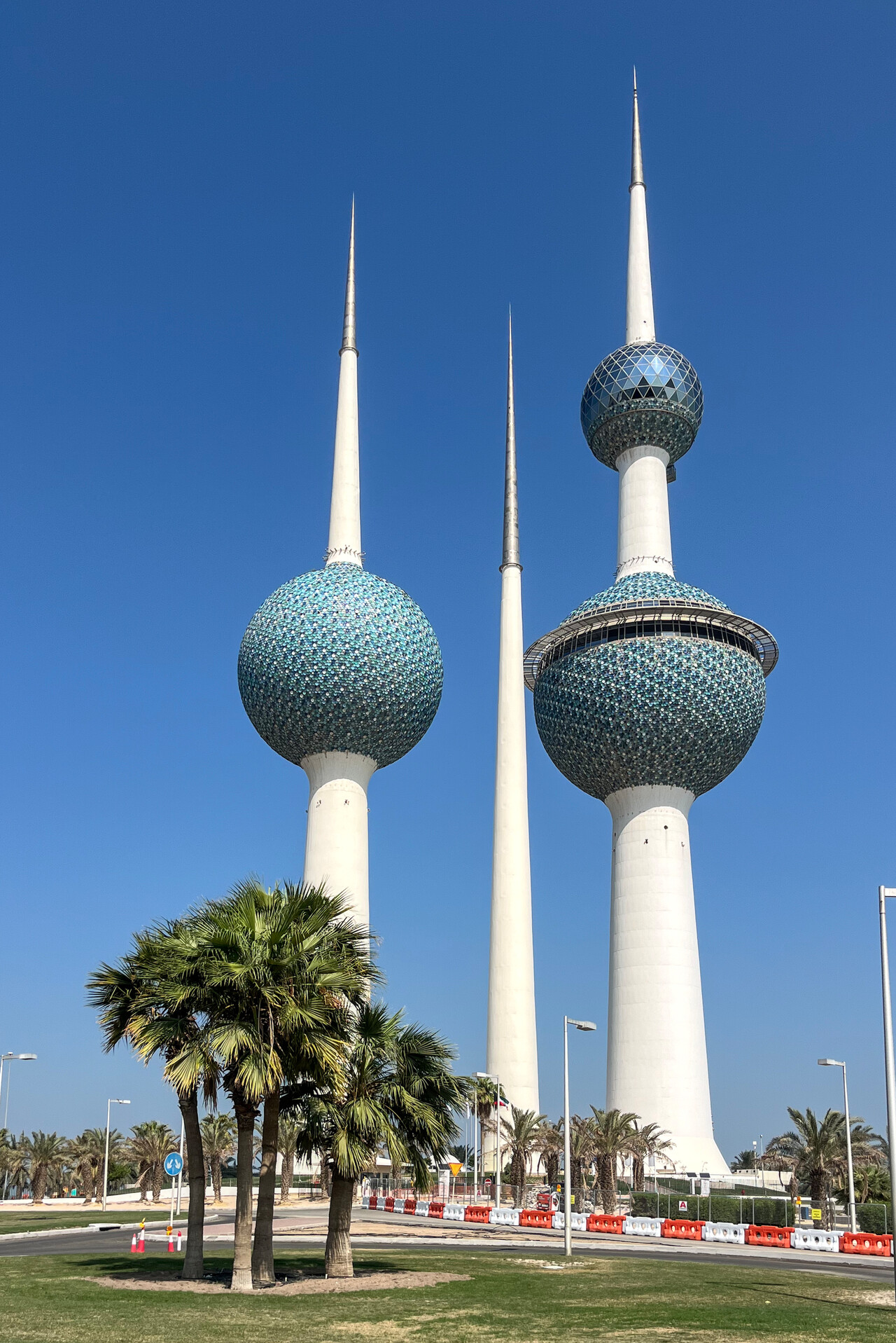
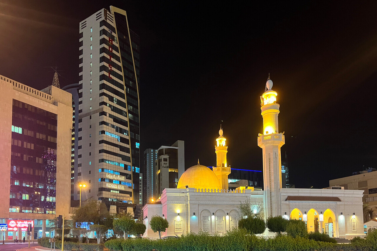
On the day of our departure we had the worst experience with handling so far. The FBO has a very posh GA terminal and is expensive but they don’t even know how to file a flight plan. They had confirmed the day before that filing was OK but did nothing. They couldn’t get us in contact to AIS, they didn’t even know what that might be. In the end the handler at our destination had to file the flight plan and we were delayed by two hours.
ATC on the ground was very hard to understand at OKKK and they have complicated procedures with handovers during taxi. In fact, taxiing is confusing and long due to the closed taxiways.
Abu Dhabi via Saudi Arabia, Bahrain and Qatar
We hadn’t intended to fly to Abu Dhabi City in the first place. However, we lost the parking permit we already had at Al Ain, OMAL due to the delay in Jordan and we couldn’t get a new one, allegedly because some of the Abu Dhabi Royals wanted to go hunting in the area. Our only option was Al Bateen Executive, OMAD.
The flight along the Arabian Gulf was uneventful but again it was hazy. ATC was very good – easy to understand and even a few shortcuts were available on request. Our destination OMAD is located on Abu Dhabi Island and is used by private jets. Approach control again was very good. They offered us a direct approach without any delay to the opposite runway actually in use if we could accept six knots of tailwind. Otherwise they would have to vector us as number three behind two jets.
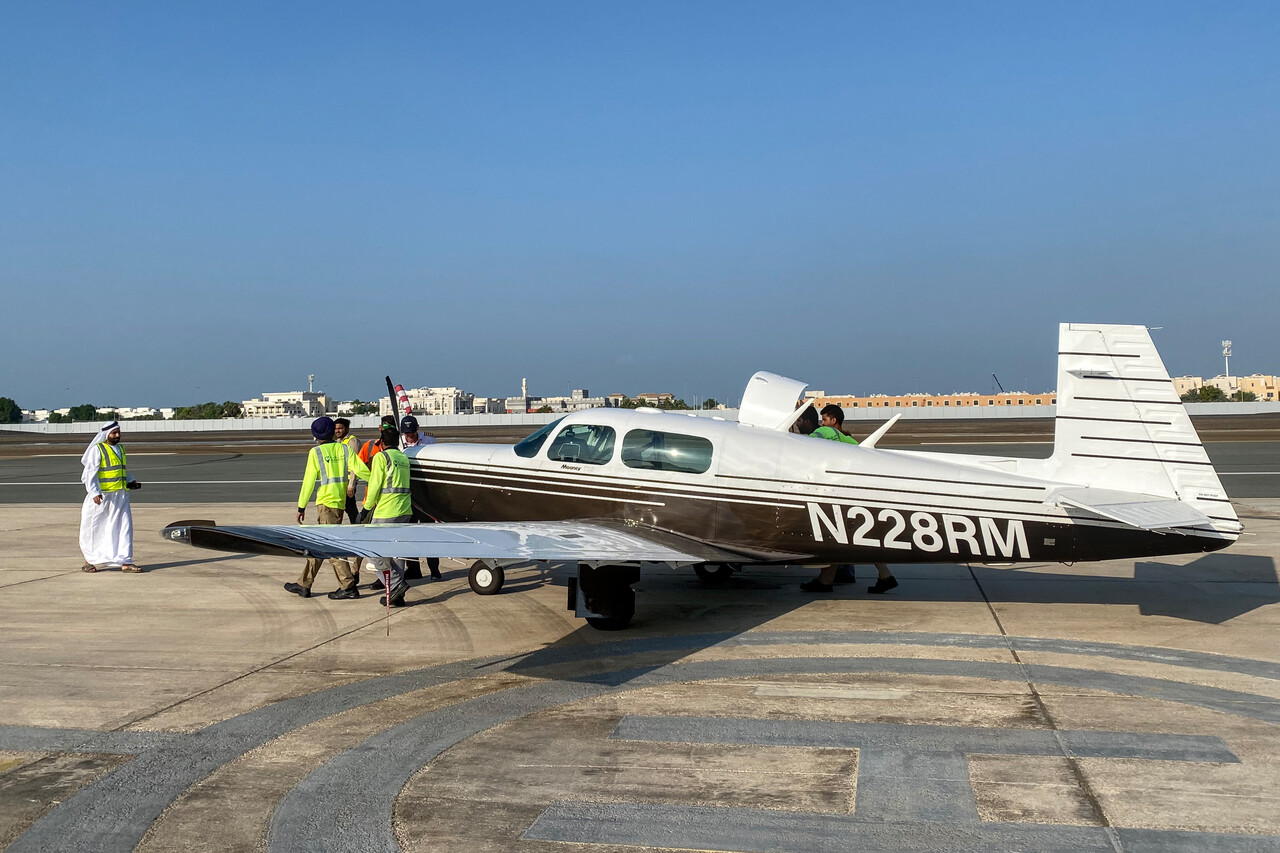
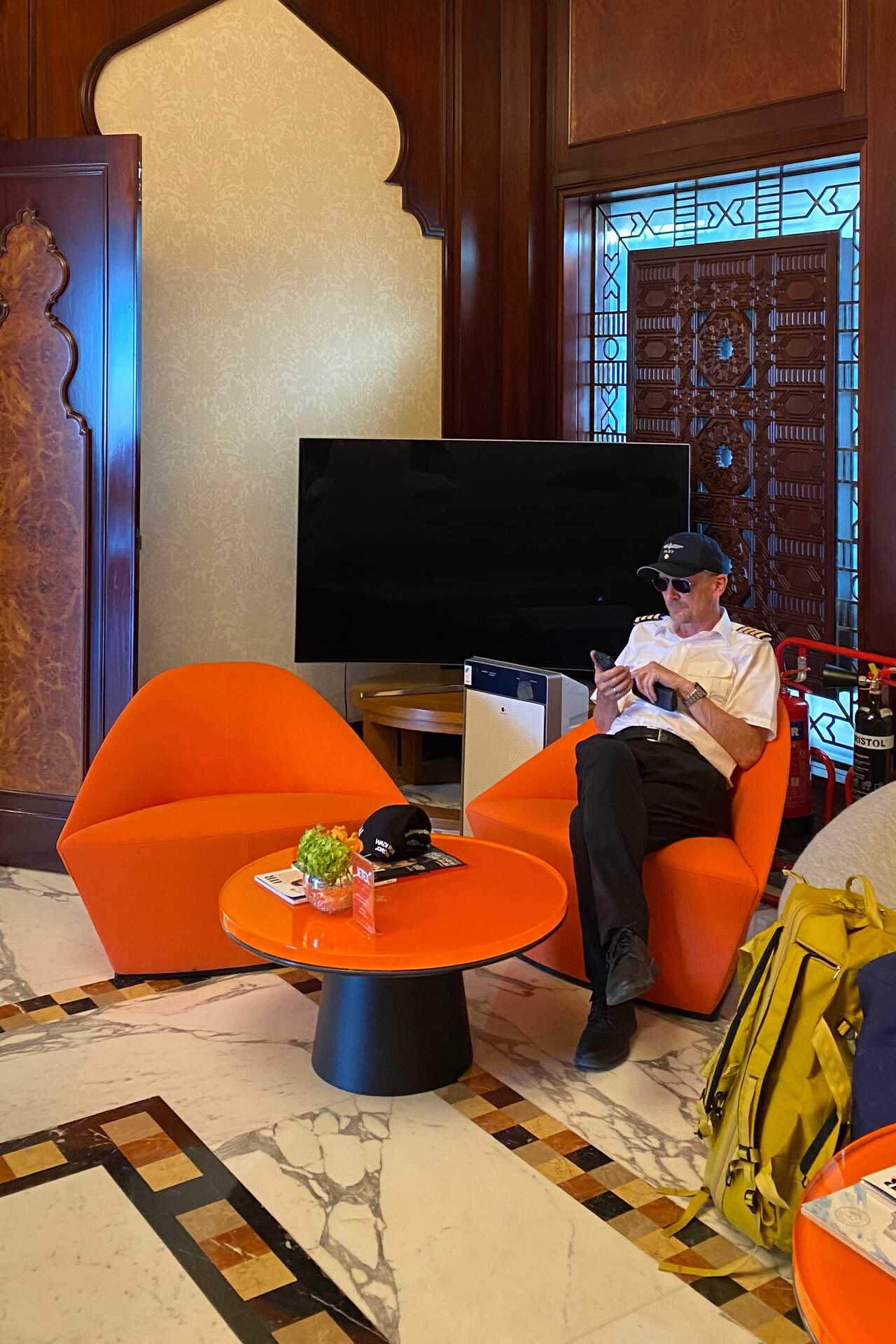
The positive impression didn’t last long once we were on the ground. Refueling again took forever. They actually have an electric pump to get Avgas from the drum to the plane but it didn’t work. They tried and tried again but to no avail. Finally they had to pump it manually with what appeared to be a rather inefficient pump to say the least. Then they found that RM’s parking position that had been allocated before, wasn’t ideal. Although there was absolutely no language barrier, they couldn’t say what they didn’t like about it. After lengthy internal discussions they found a spot two or three hundred meters away. Unfortunately they didn’t have a tug suitable for a little Mooney. Reluctantly I offered to taxi over but they didn’t want that either. Finally a hilarious caravan formed, consisting of the local ramp agent wearing traditional attire plus high vis, Tina and me in our funny pilot shirts and more than half a dozen Indian workers pushing RM.
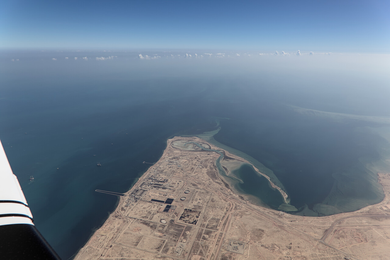
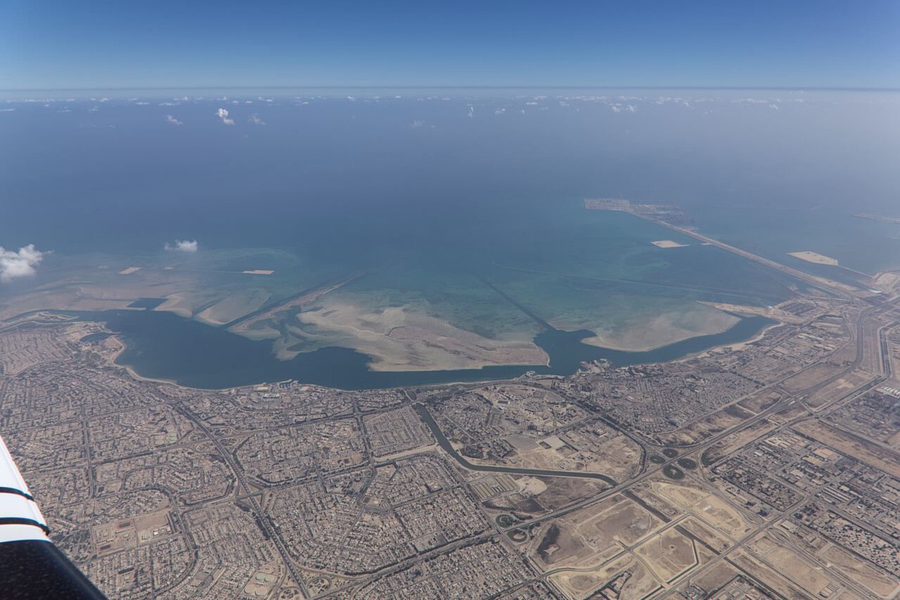
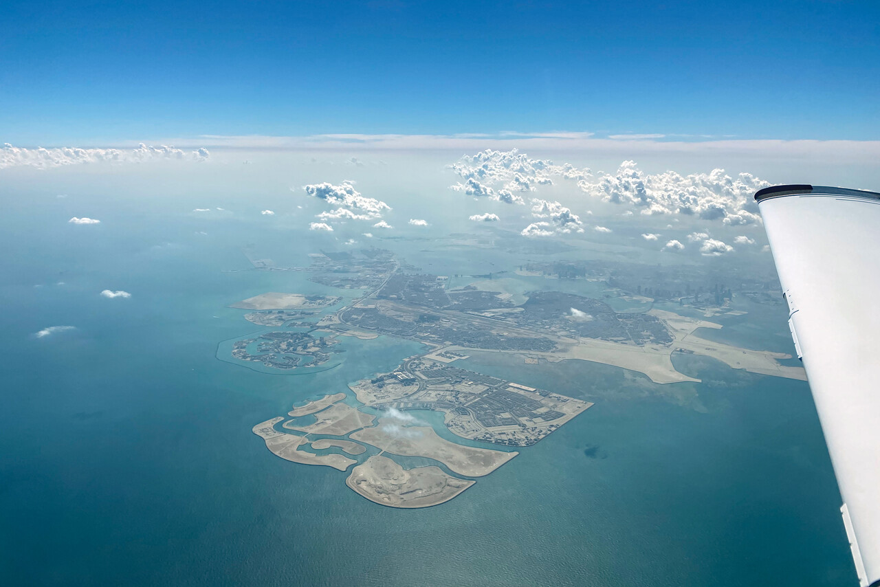
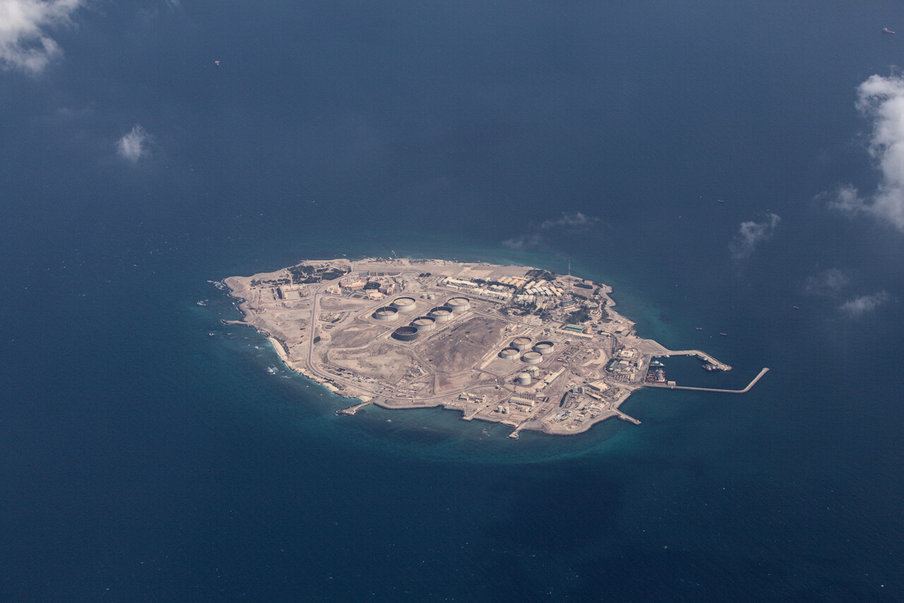
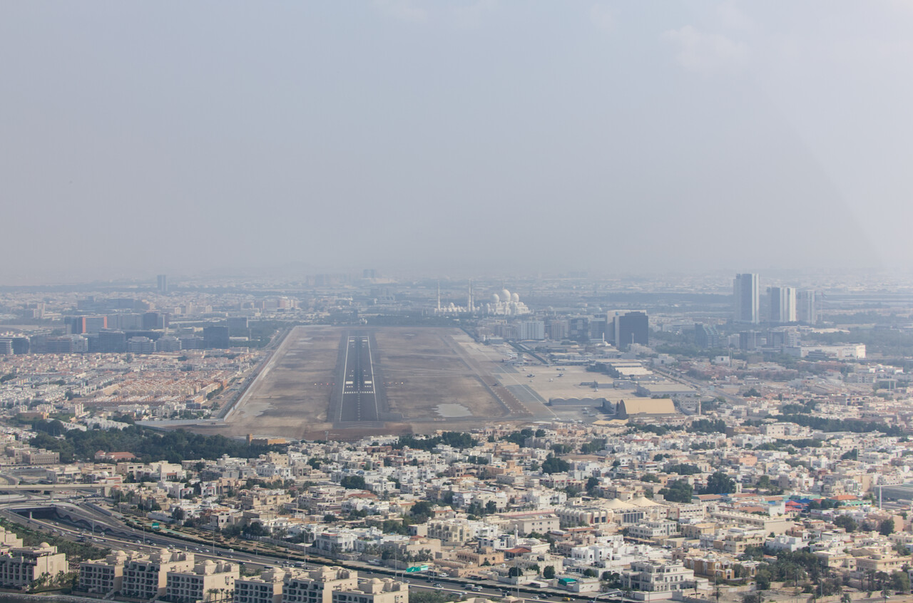
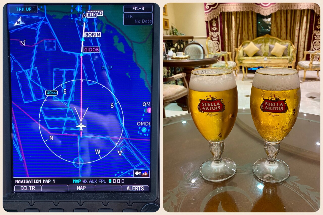
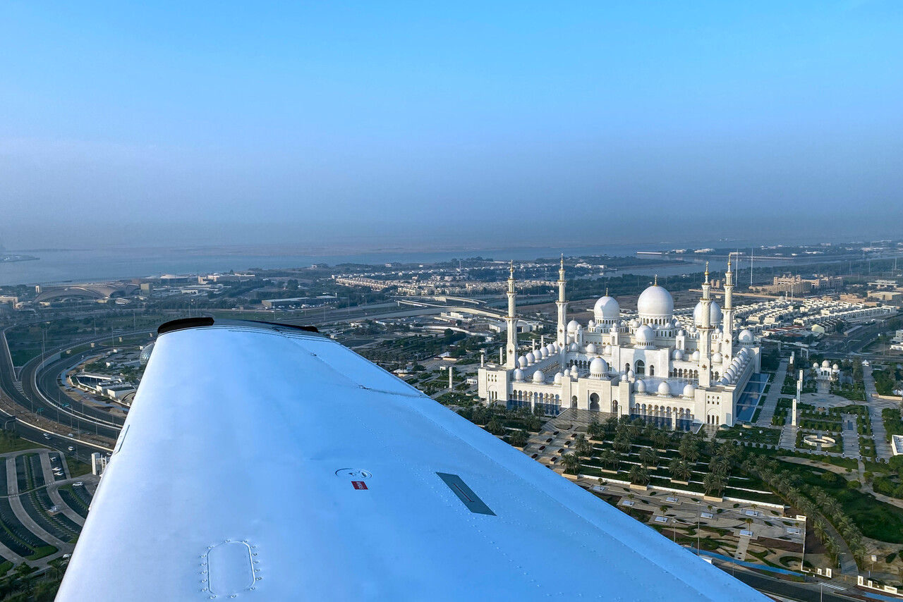
Abu Dhabi tries hard to attract tourists and is full of hotels. Apparently supply exceeded demand at the time of our visit so even a five star could be had at a very reasonable rate. All buildings in the city are new and the architects of a few of them seem to have a somewhat iffy taste. The only thing that remains from old Abu Dhabi is the fort and it has been restored to a degree that it feels like Disney Land. One of the main attractions is the Great Mosque. It was the largest in the world when it was built a couple of years ago and is really impressive.
The city is full of restaurants dishing out all sorts of food. Italian seems popular, but there are English pubs and German places and what not. Of course there are loads of Indian joints catering to the migrant workers, only local food doesn’t appear on any menu, so we had to feast on cheeseburgers and the like. No photos of this stuff included here!😉
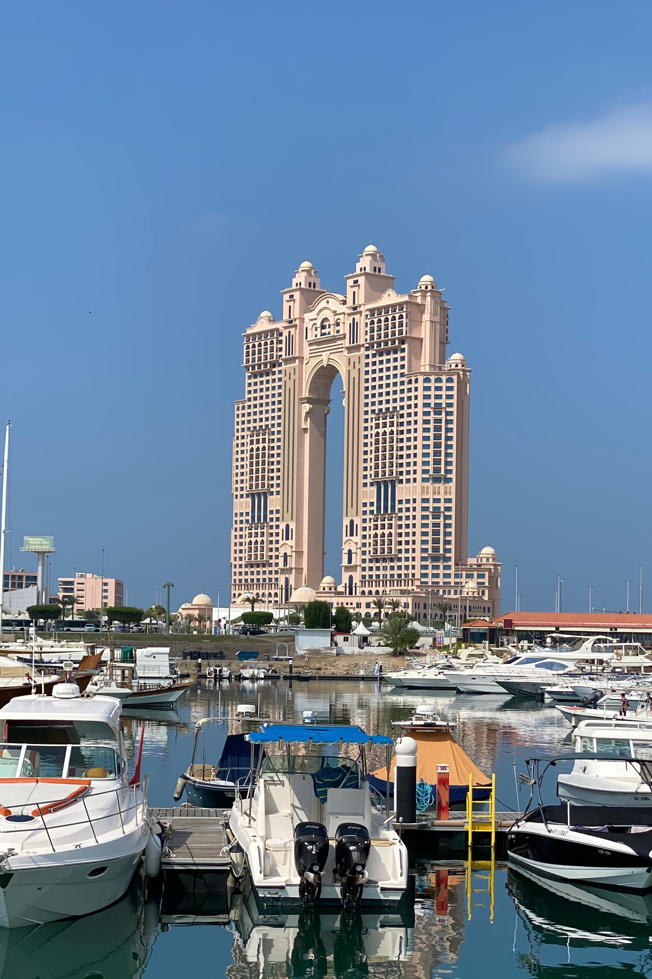
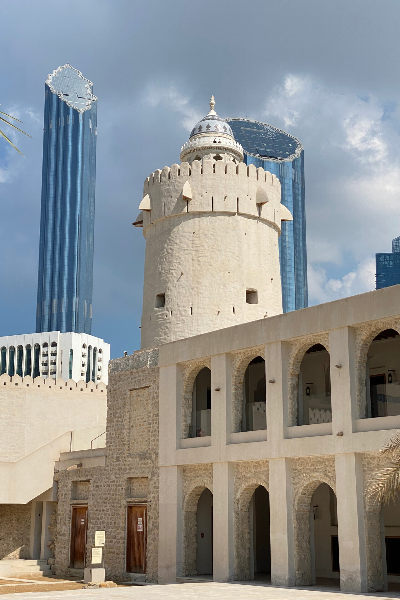
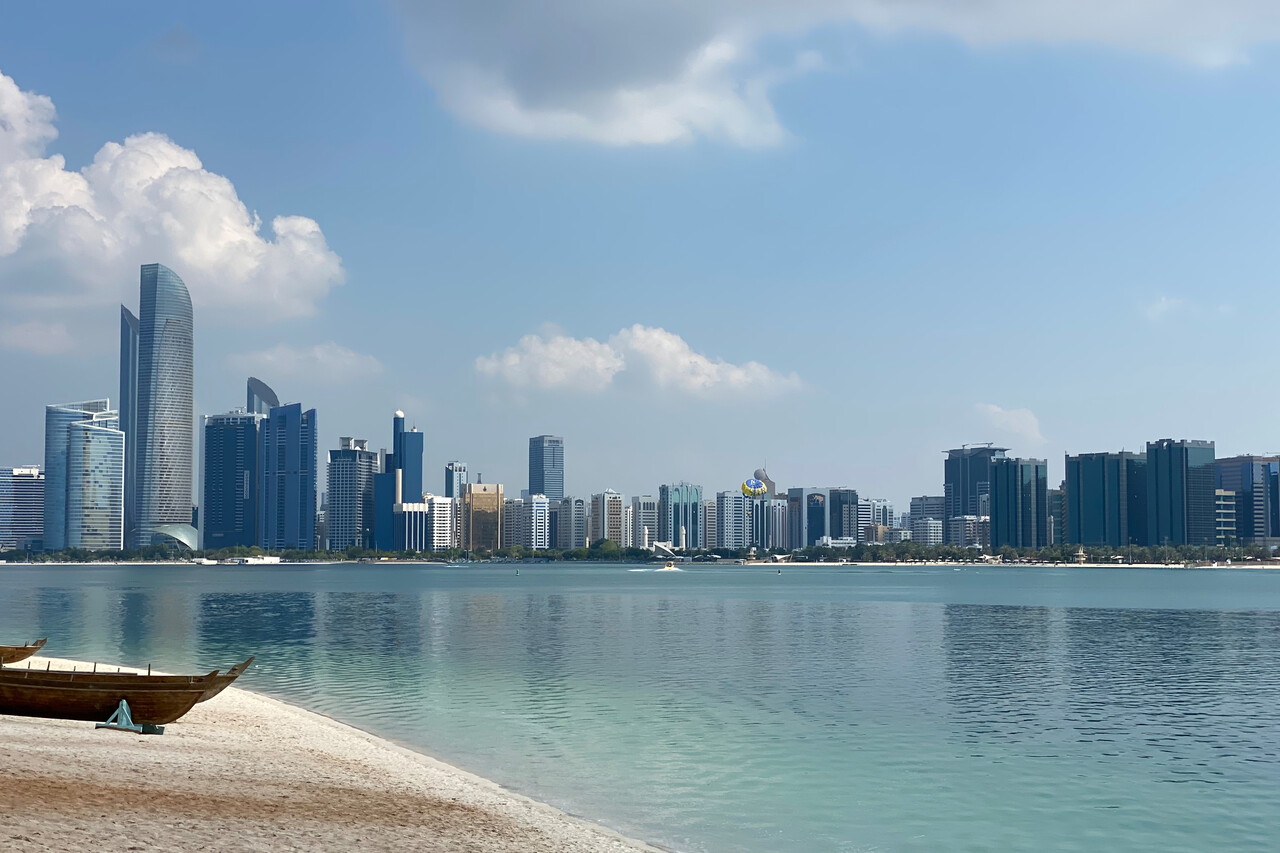
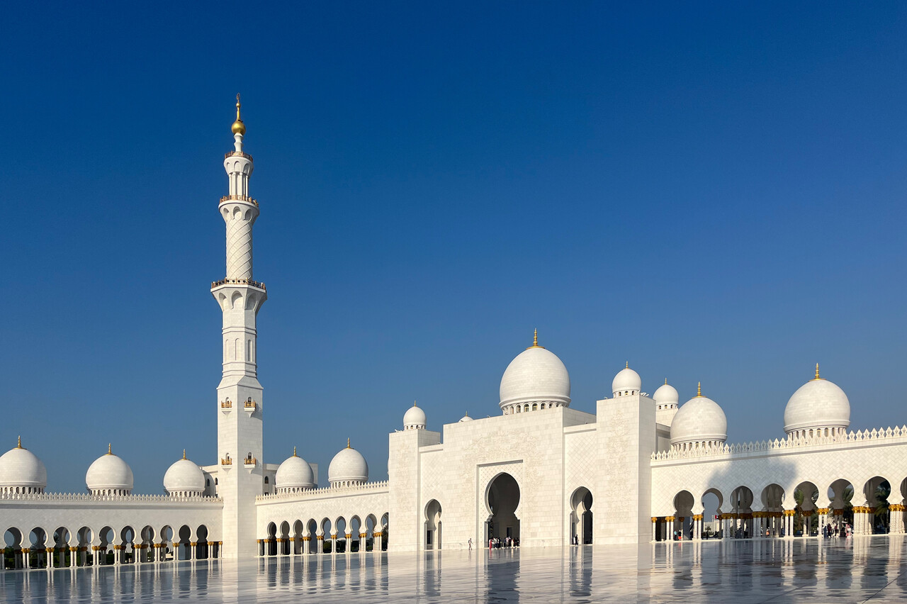
The use of the FBO and the posh GA terminal is mandatory at OMAD and the service they provided on arrival was mediocre at best. Our handling agent told us that not before long he could have put us through the main terminal at a significantly lower price, but not any more. At least on departure things went well and we were airborne on time.
Pakistan via Oman
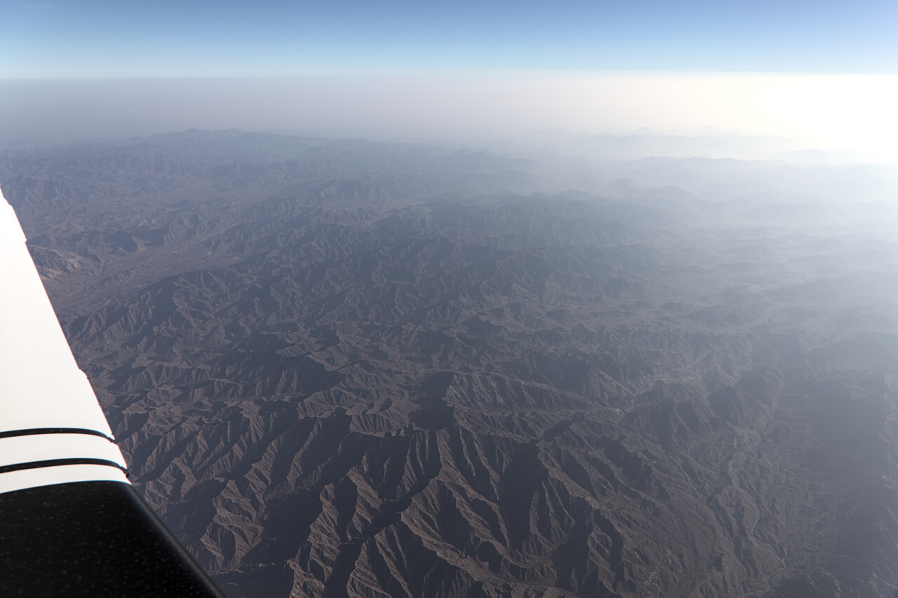
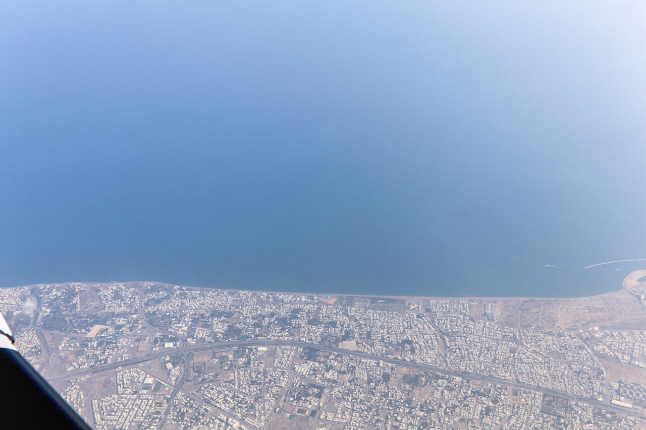
On this leg we had to fly across open water for a significant distance for the first time since we reached Egypt. Before the Arabian Sea, we overflew Oman at FL 170. This had been our cruising altitude for most of the previous legs as well mostly because airways were not available lower down.
FL170 is also a level our Mooney is quite economical at, she does a bit over 150KTAS at 8.5GPH up there in the prevailing (warm) conditions and quite heavily loaded. This is really slow for a Mooney, but only this way our fuel planning worked out. You either buy one or two drums of 200 liters. As we have a total capacity of 405 liters only, buying two drums would mean wasting a lot of precious Avgas, as nobody will arrive completely empty. In the end it worked out, we got away with buying 200 liters at each of the ‘drum stops’ all the way to Indonesia.
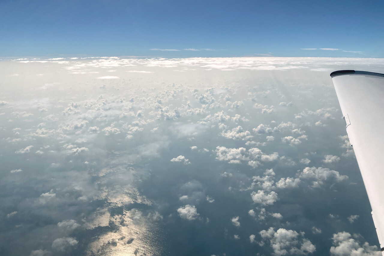
Except for departure and arrival there was not much to see on the flight to Karachi, OPKC. This was in part because of the once again hazy weather but it’s of course a drawback of flying high.
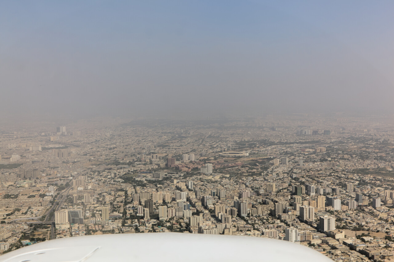
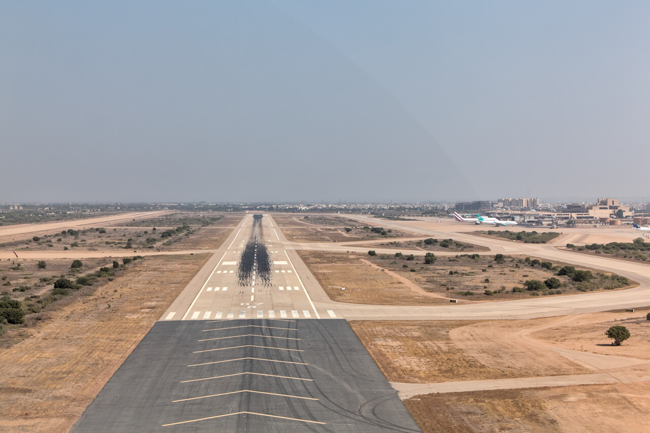
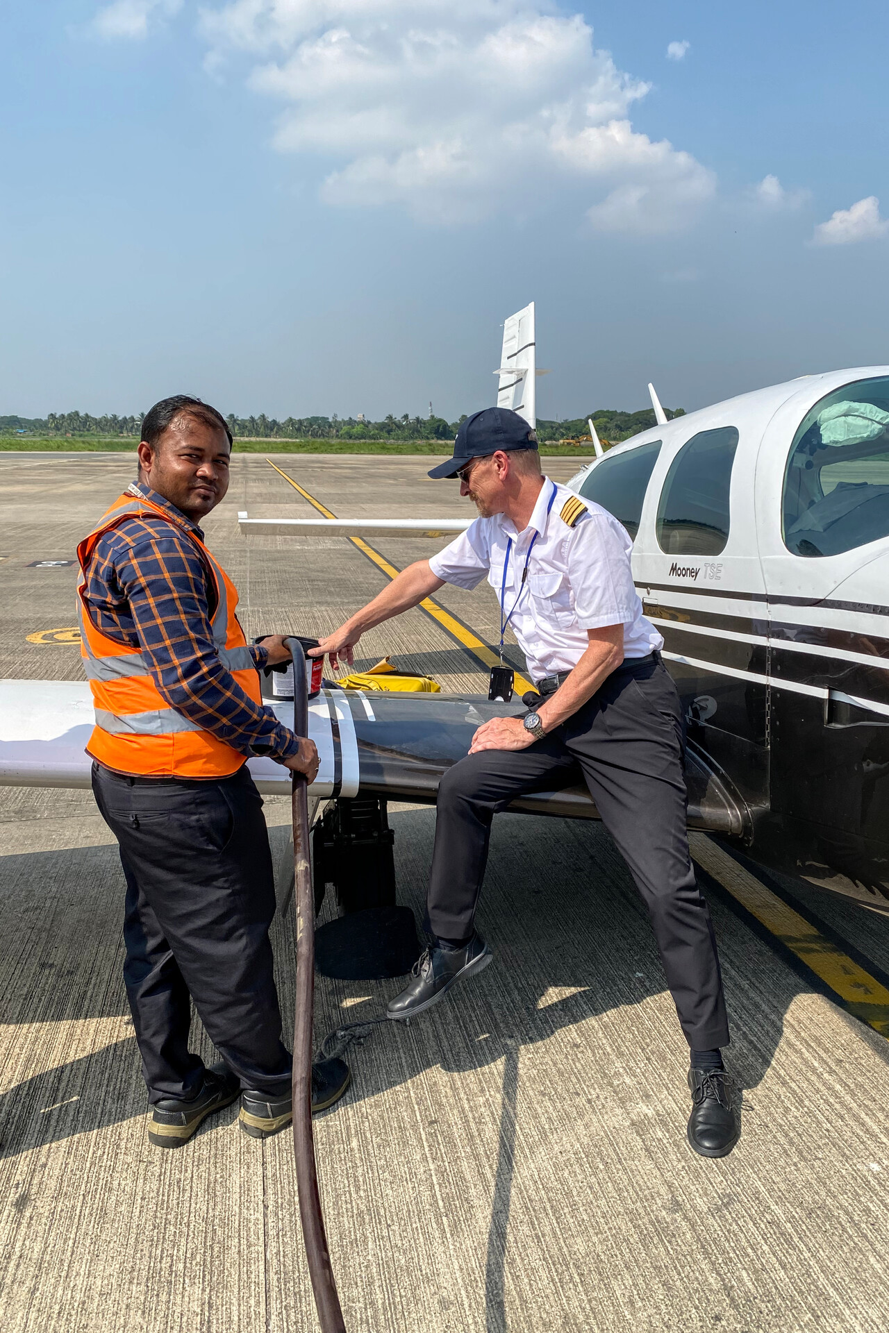
On the ground we were greeted by our handling agent, a customs officer, a couple of fuel guys and half a dozen armed soldiers. We were a bit bewildered, but everybody was friendly and to our surprise after half an hour the aircraft was refueled and we were landside! Handling worked the opposite way here compared to the Gulf region: there is no FBO, the agent guides you through C&I to the main terminal, you pay in US dollars cash while sitting on a filthy chair in the worn waiting hall and all that in a couple of minutes. We actually liked it better this way.
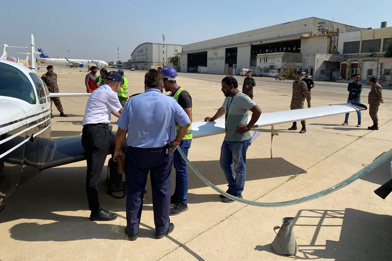
Unfortunately the security situation in Karachi and most of Pakistan is poor. There are travel warnings in effect by most western governments and we therefore opted to stay just one night. A pity, as we had never been to Pakistan before.
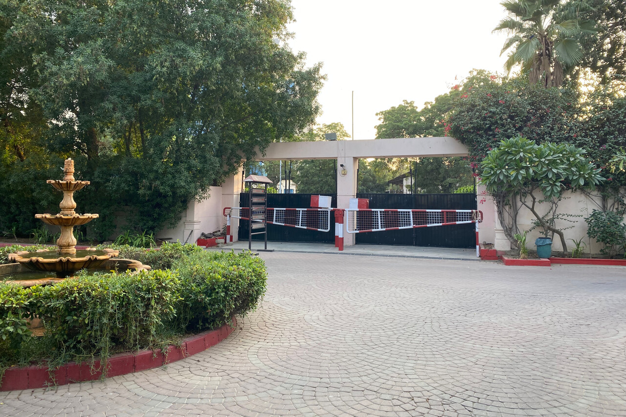
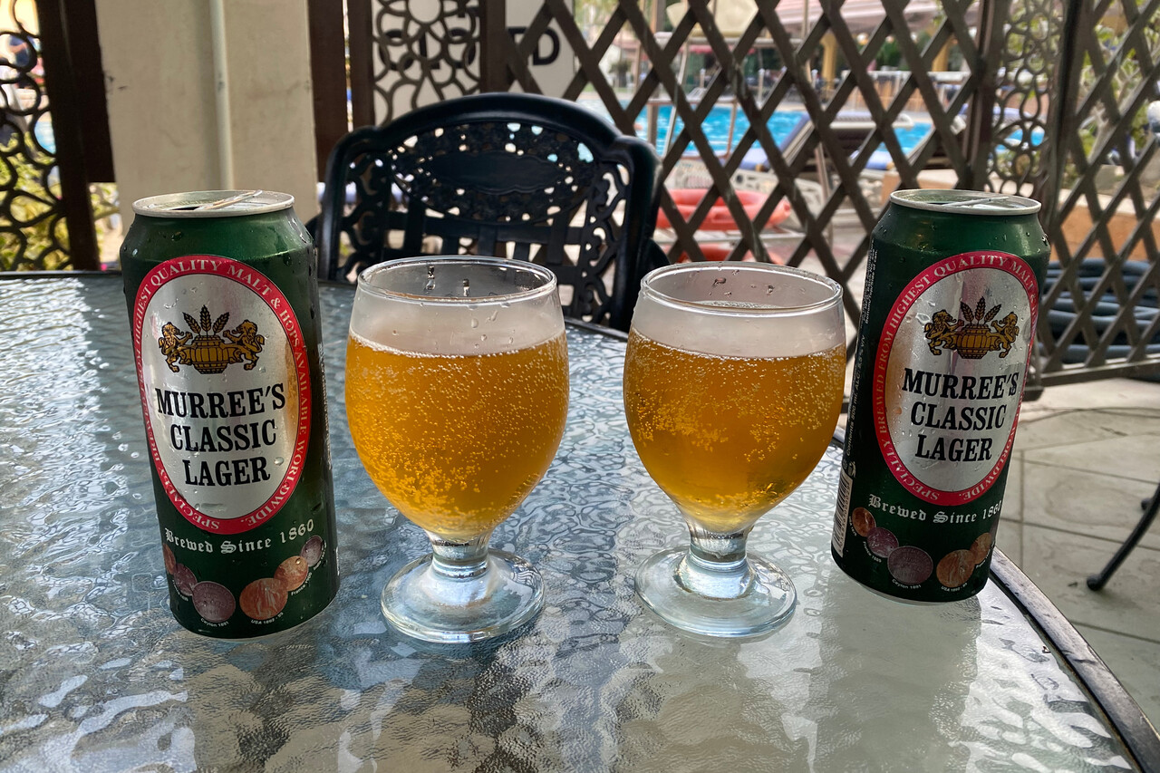
The hotel we stayed at was better protected against terrorist attacks than European airports. We had to pass a two stage barrier system to reach the premises. To our surprise there was a pool bar with local beer and a restaurant with tasty curries and naan.
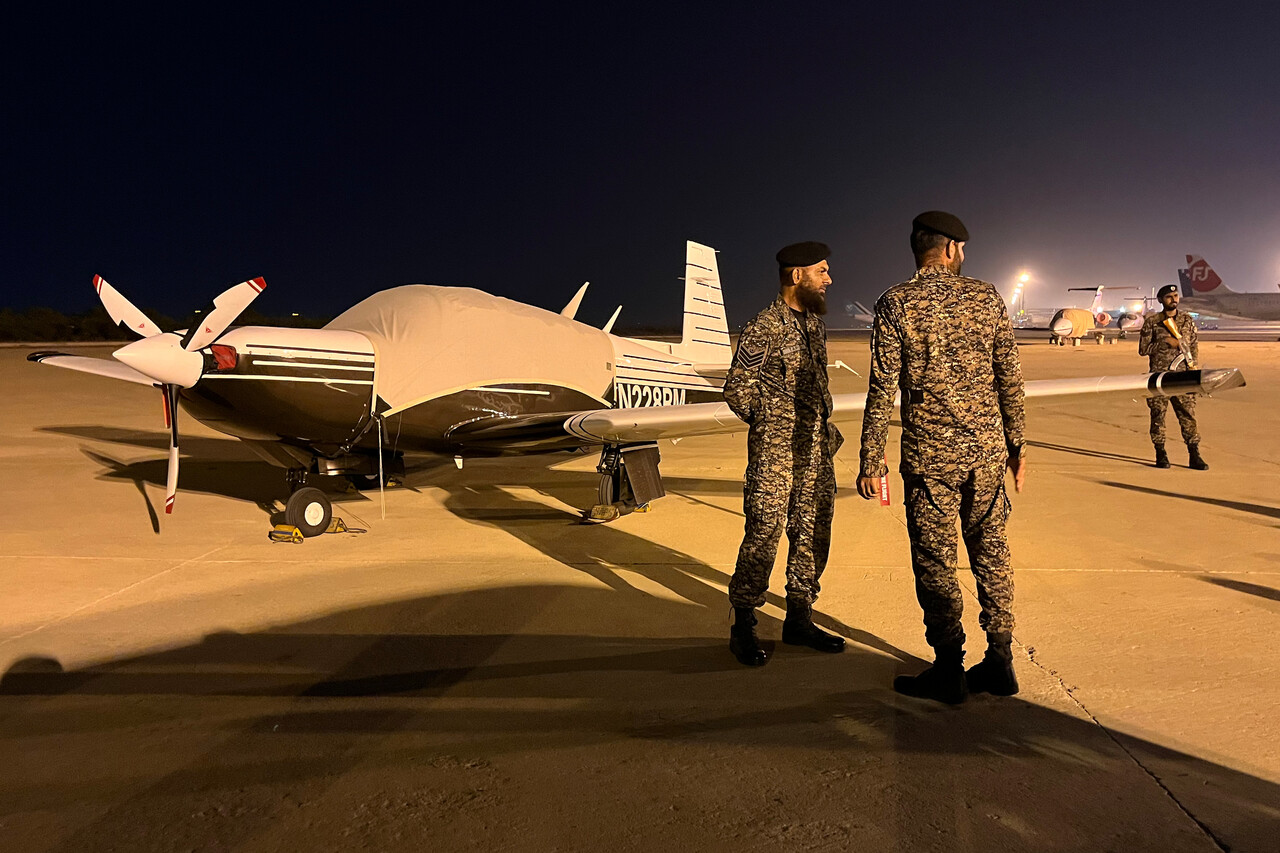
Apparently our little Mooney was considered a major threat by local authorities as it was still guarded by armed soldiers when we arrived at her parking stand early the next morning. Again, everybody was friendly and we didn’t have to wait long for C&I or anything else.
The permit business also got enhanced by a second stage for the coming legs. So far our agent (the excellent Mike of White Rose, as mentioned) had sent us relevant permit numbers a day or a couple of days before the flight and we would write them as a remark into field 18 of the ICAO flight plan. Now two codes, ADC and FIC were required in addition. The local handling agent gets them (from whatever source) not long before scheduled departure and passes them on to the crews, nowadays usually via WhatsApp. I never understood what the reason for this is and how it really works. In the beginning I thought it’s an Indian thing, but in fact we received these codes till Myanmar inclusively. ATC may ask for the codes from the first contact on the ground but at least in our case they rarely did. It was only once or twice on the three flights we were provided with these codes.
India
Before departure from Karachi we learned that Avgas at our next destination Nagpur, VANP would arrive only with two days delay and we would have to stay four instead of the planned two nights. We were a little upset in the beginning but it turned out to be a really good thing.
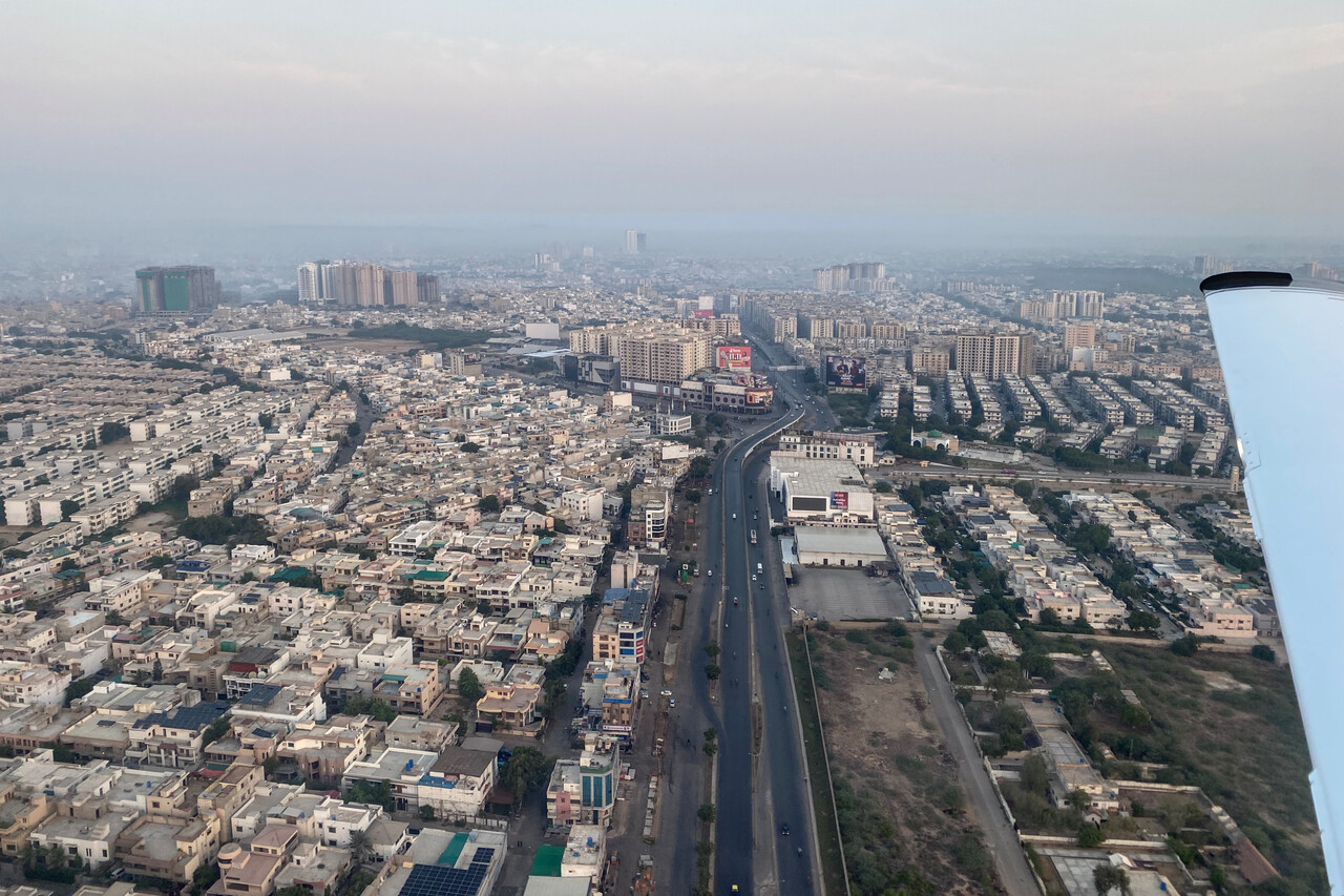
The flight to VANP was really the most uneventful on the whole journey so far. No cloud, no thermal but also almost nothing to see because of the haze.
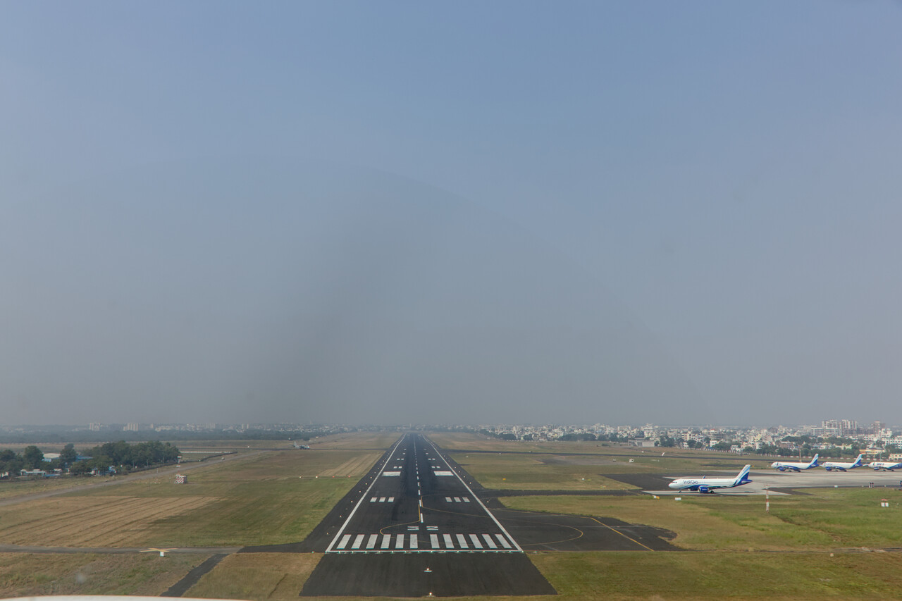
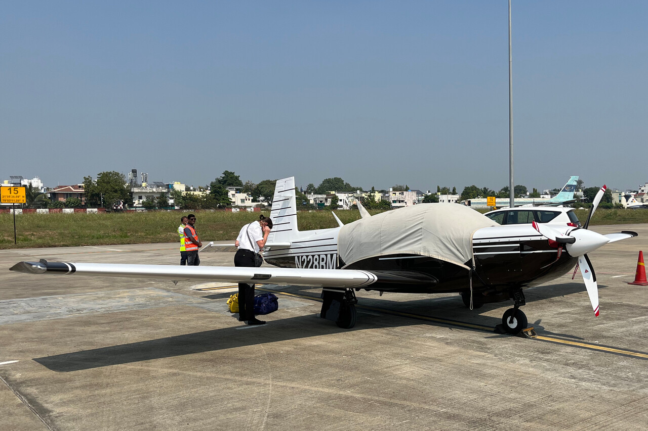
India requires business visas to enter the country as air crew and to get these an invitation letter is required. Our handling agent provided the letters beforehand and we applied for the visas online back in Germany. Complicated forms have to be filled out but we managed and in the end it worked.
We know India quite well, we had been there before both on business and on vacation. Nobody goes to Nagpur for vacation though, the city is noisy and chaotic like many in India and has no attraction at all. Therefore we were less than happy about the delay initially. However, I found on Google Maps that there is a jungle national park, Padam Pench, not far to the north. They claim that Kipling was inspired by this forest when he wrote the Jungle Book, however, according to Wikipedia there is little evidence that this is true. Anyway, we booked a resort for two days and an Uber took us there for cheap in two and a half hours.
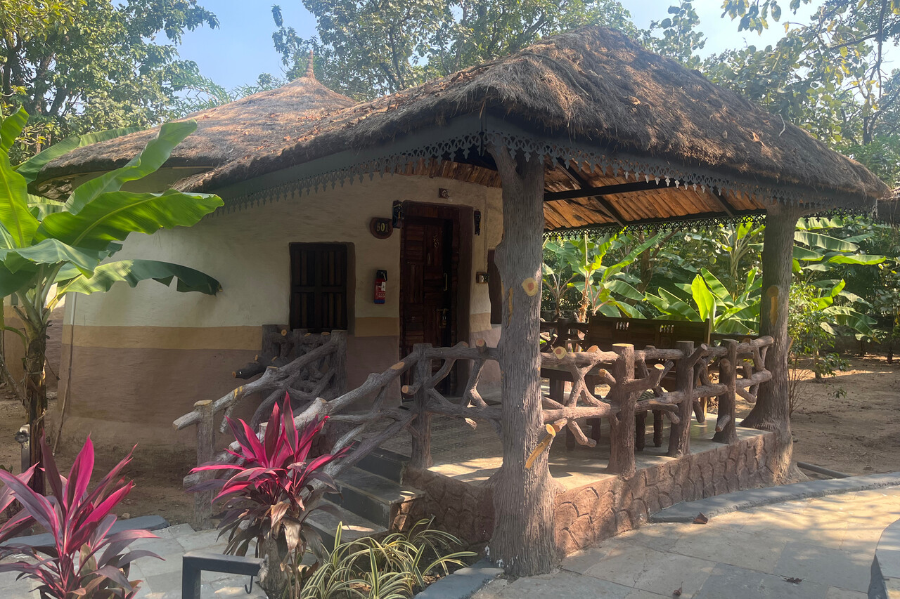
We had booked a ‘mud house’ which was lovely and the food at the resort was delicious. Jeep tours to the jungle are offered and when you’re lucky you can spot one of the 83 tigers that live in the park. Resort staff told us that half of the tours are that lucky, the other half come back without a sighting. At least we saw a large male from some distance. Moreover there was deer, monkeys, elephants and even a leopard but that really didn’t come close. In the afternoons we strolled around the Indian countryside what we also enjoyed a lot.
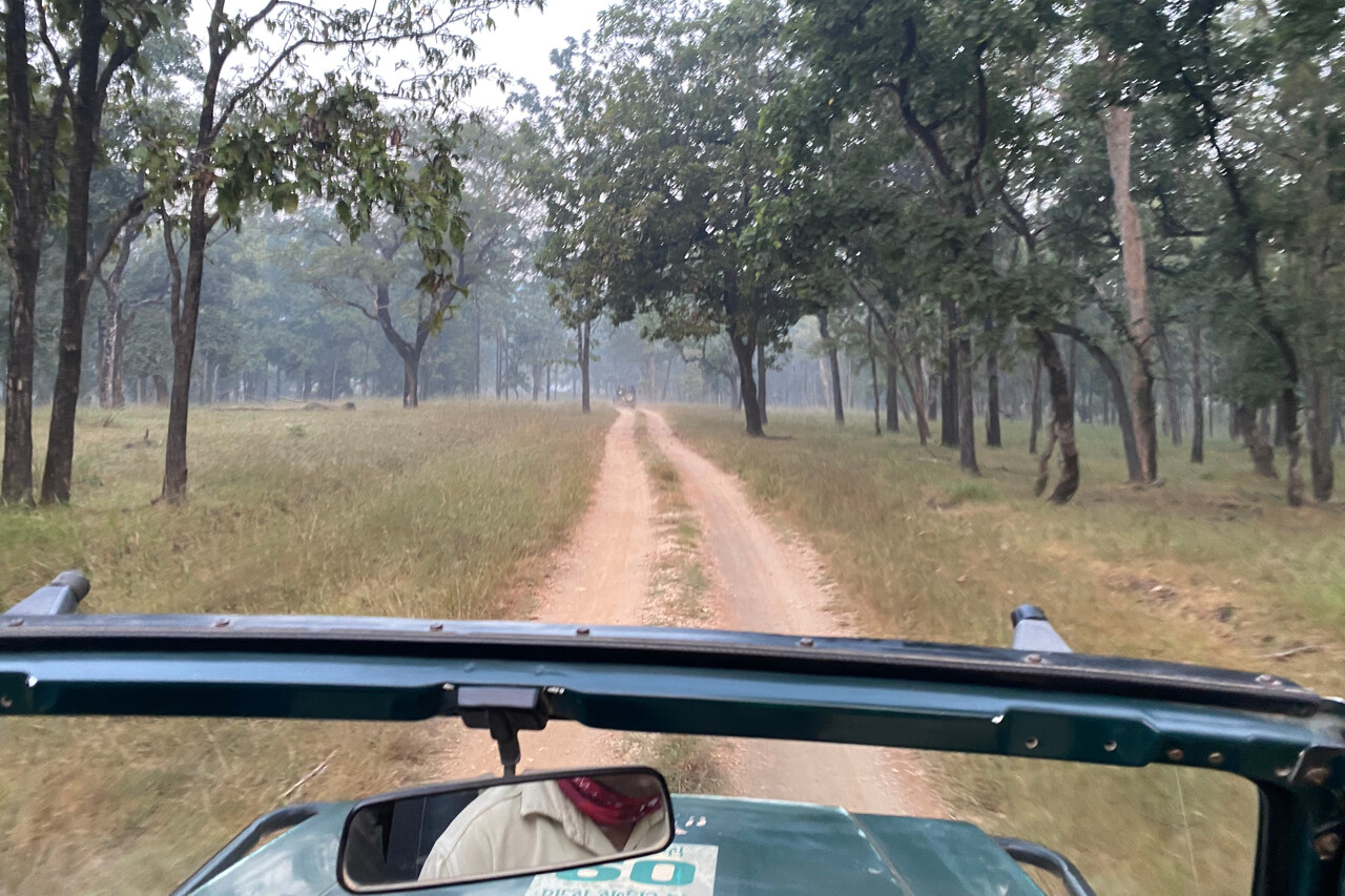
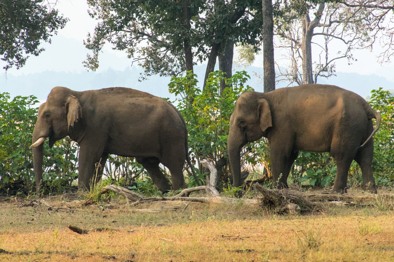
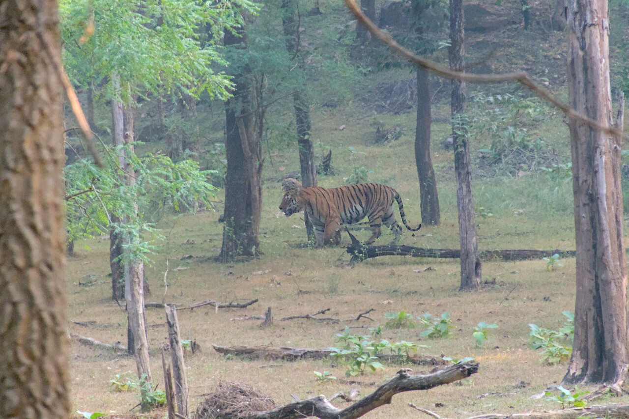
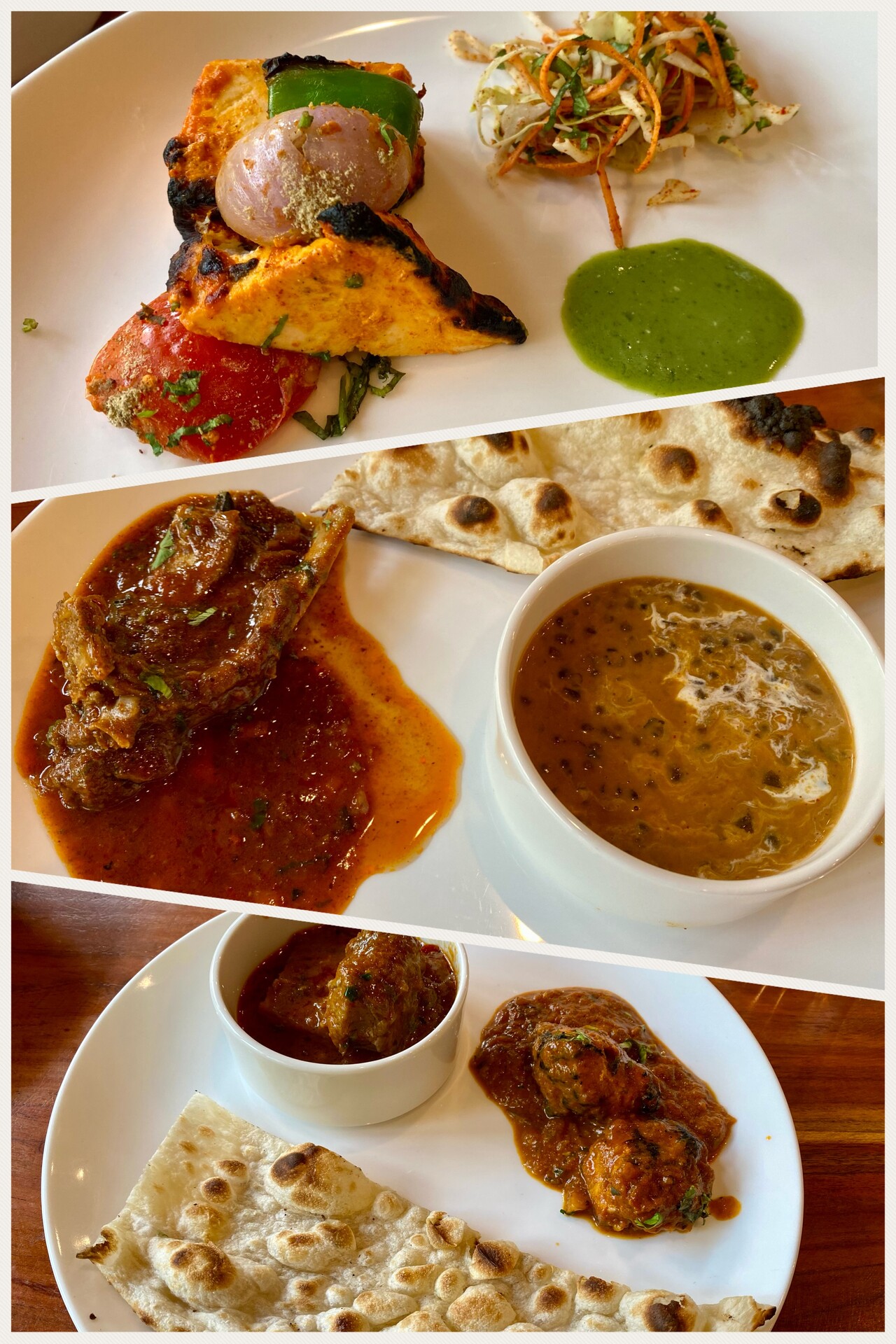
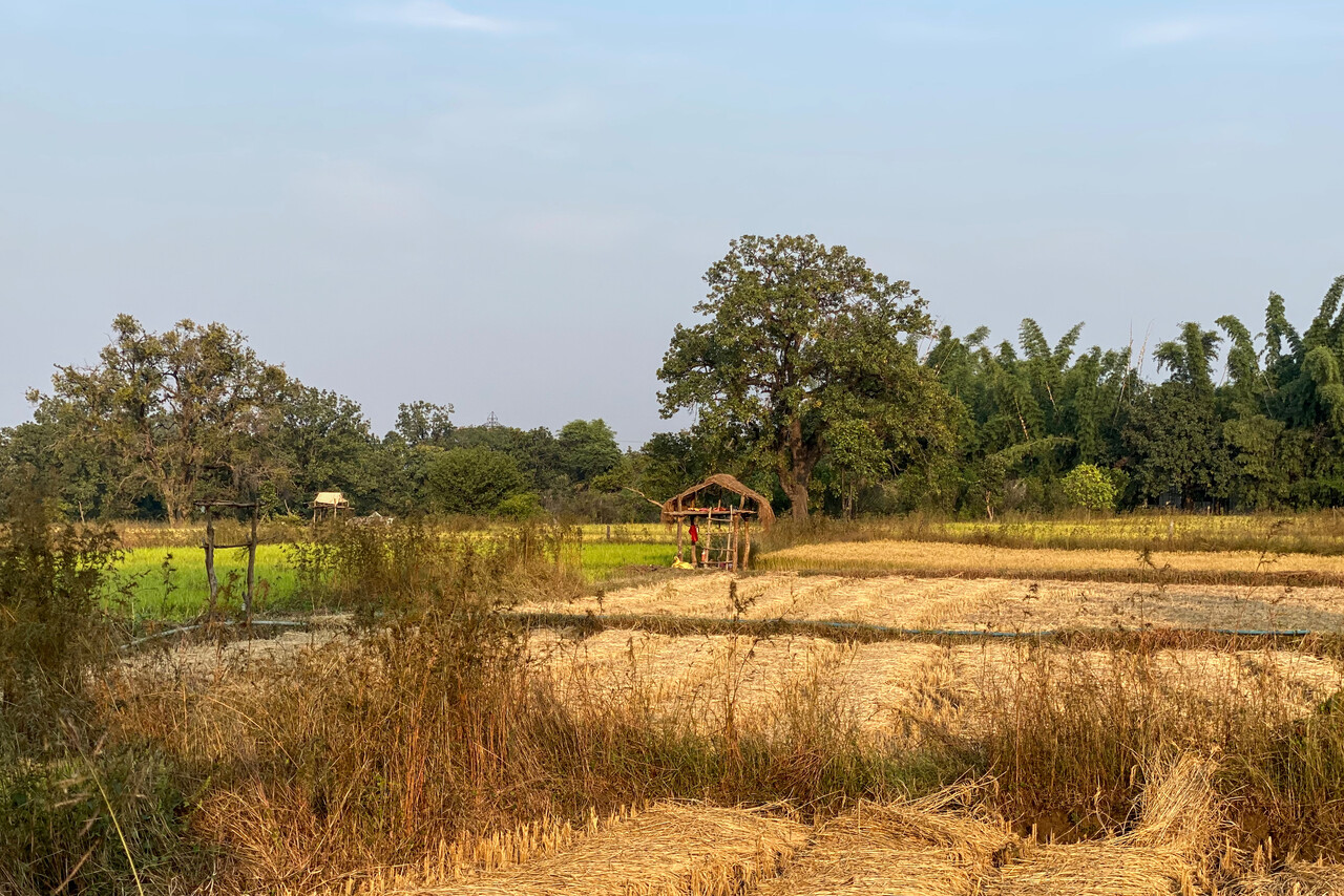
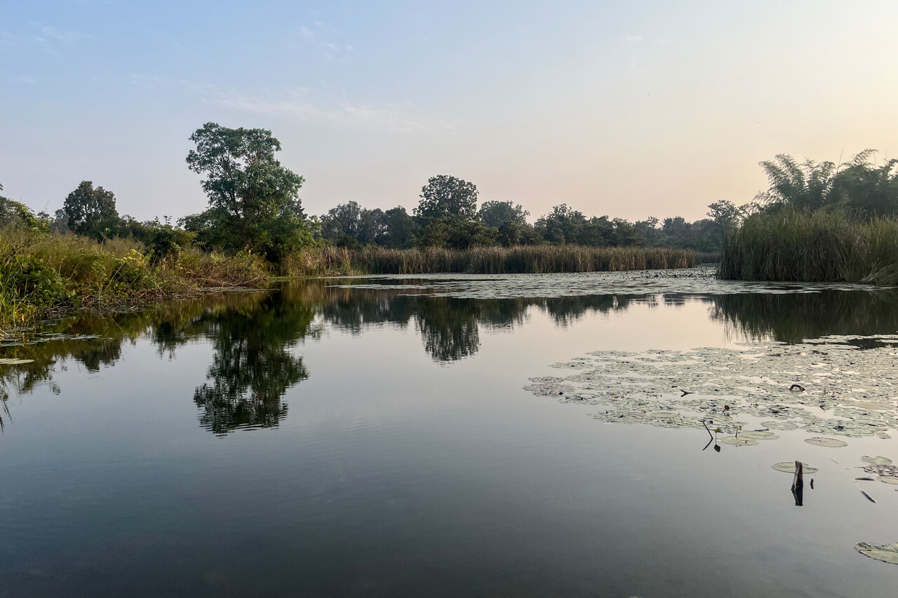
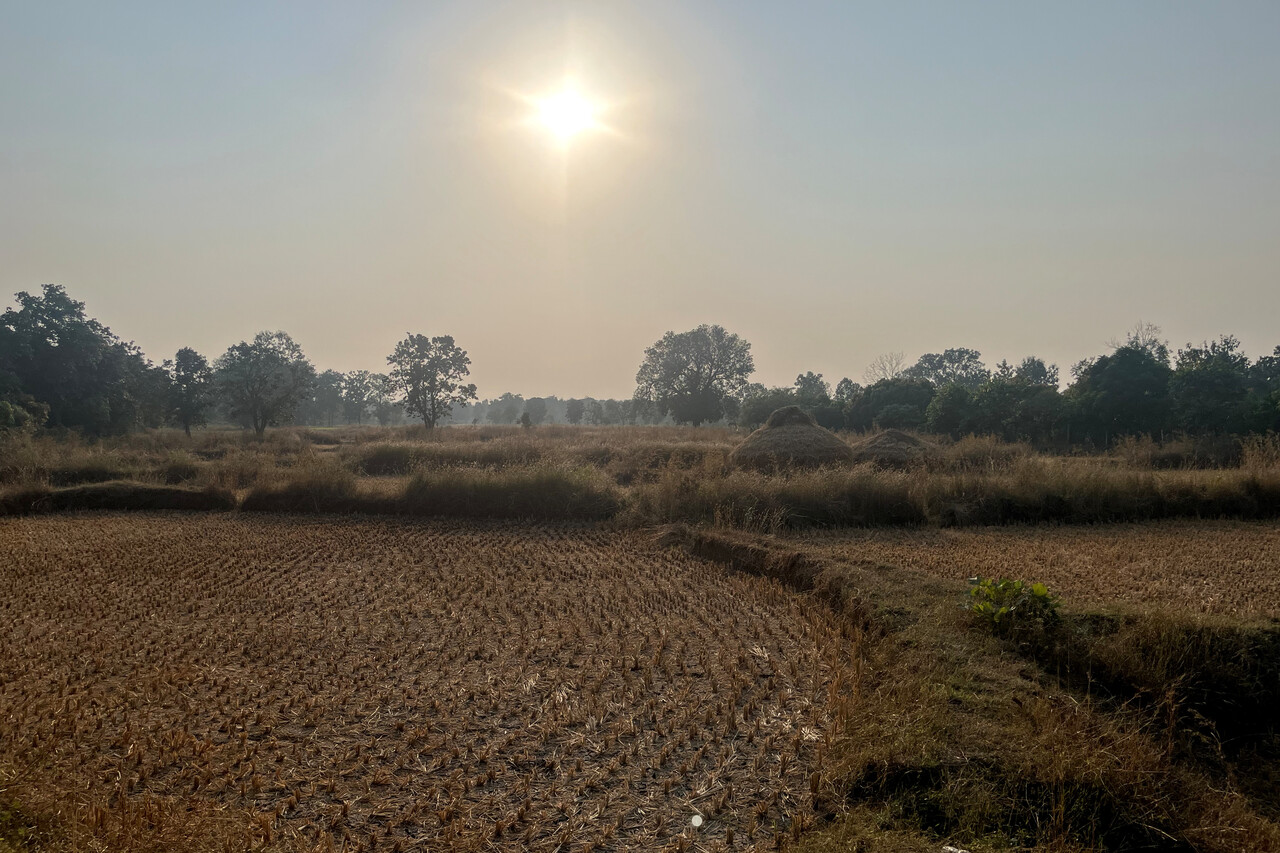
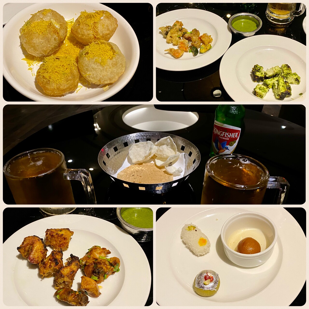
We drove back to Nagpur in the morning after a hearty breakfast of Poori Bhaji and Parathas, which we had at the resort. In the afternoon we went to the airport for refueling. Getting airside required filling out forms to get temporary badges in exchange of our passports but this bureaucratic act didn’t take too long and refueling worked quickly. Once it was complete, the handling agent, three of his men and both of us had to wait for an hour for a car to pick us up. Luckily wages aren’t high in India. Back at the hotel they served tiny portions of many tasty Indian dishes accompanied by a Kingfisher (Indian beer, not so tasty).
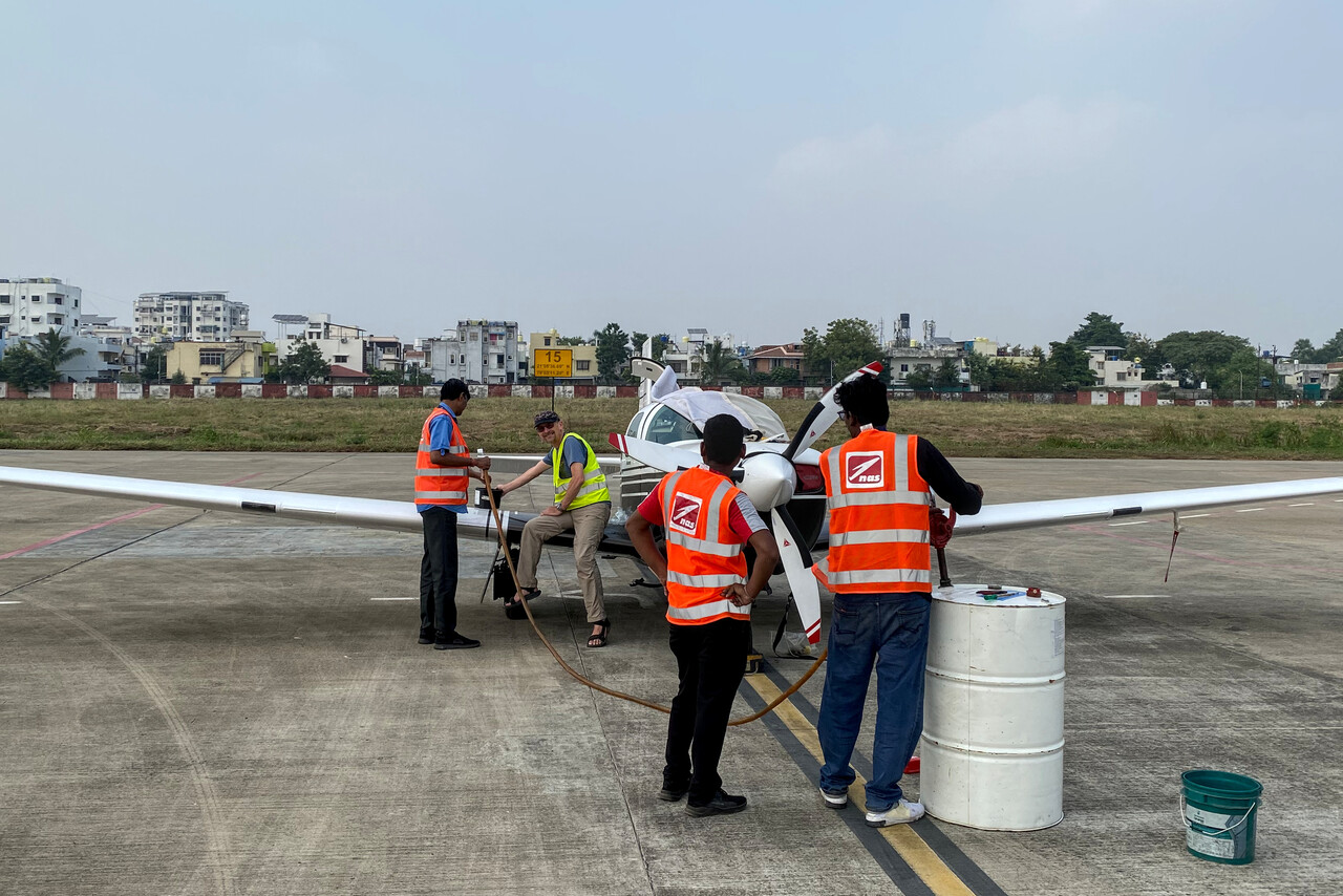
Handling in India followed the same paradigm as in Pakistan and later in Bangladesh. It wasn’t that quick though, processes in India are extremely bureaucratic and take time. Moreover, Tina lost her Swiss knife as there was no way to get it through security control. The handling agent kept it and promised to find a way to get it to the plane when we land there on our way back.
Bangladesh
Chittagong (or Chattogram) as it is called now is the place to get Avgas in Bangladesh, so this was our next destination. There was some convective activity on the way but FL170 proved to be a good altitude once again. It’s high enough to see and avoid the nasty stuff and temperature was around zero so you don’t pick up ice immediately if you hit a little cloud. It was hazy once again, so not much to see even where there were no clouds.
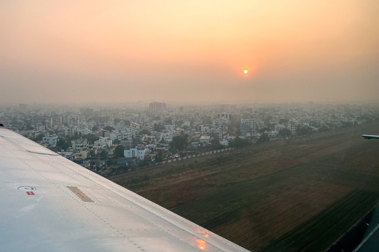
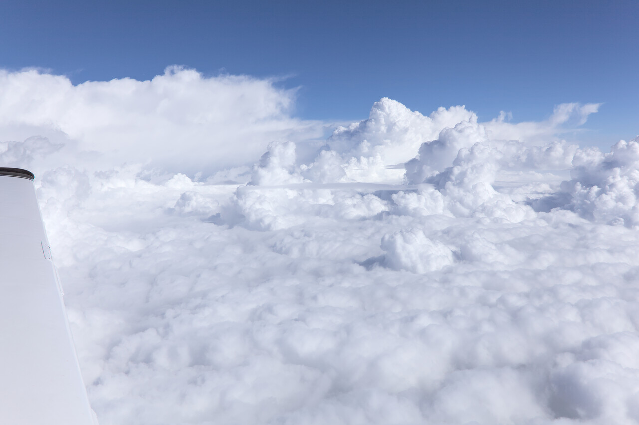
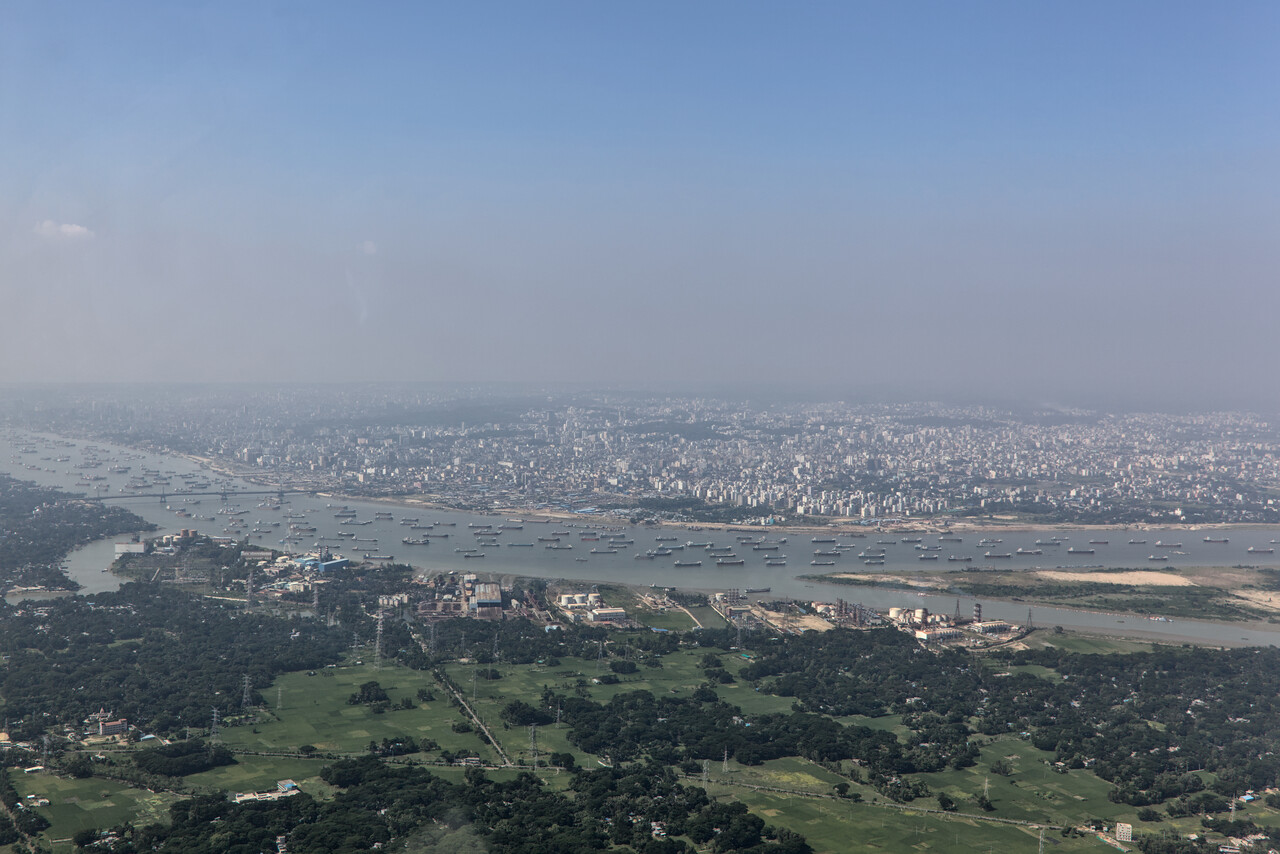
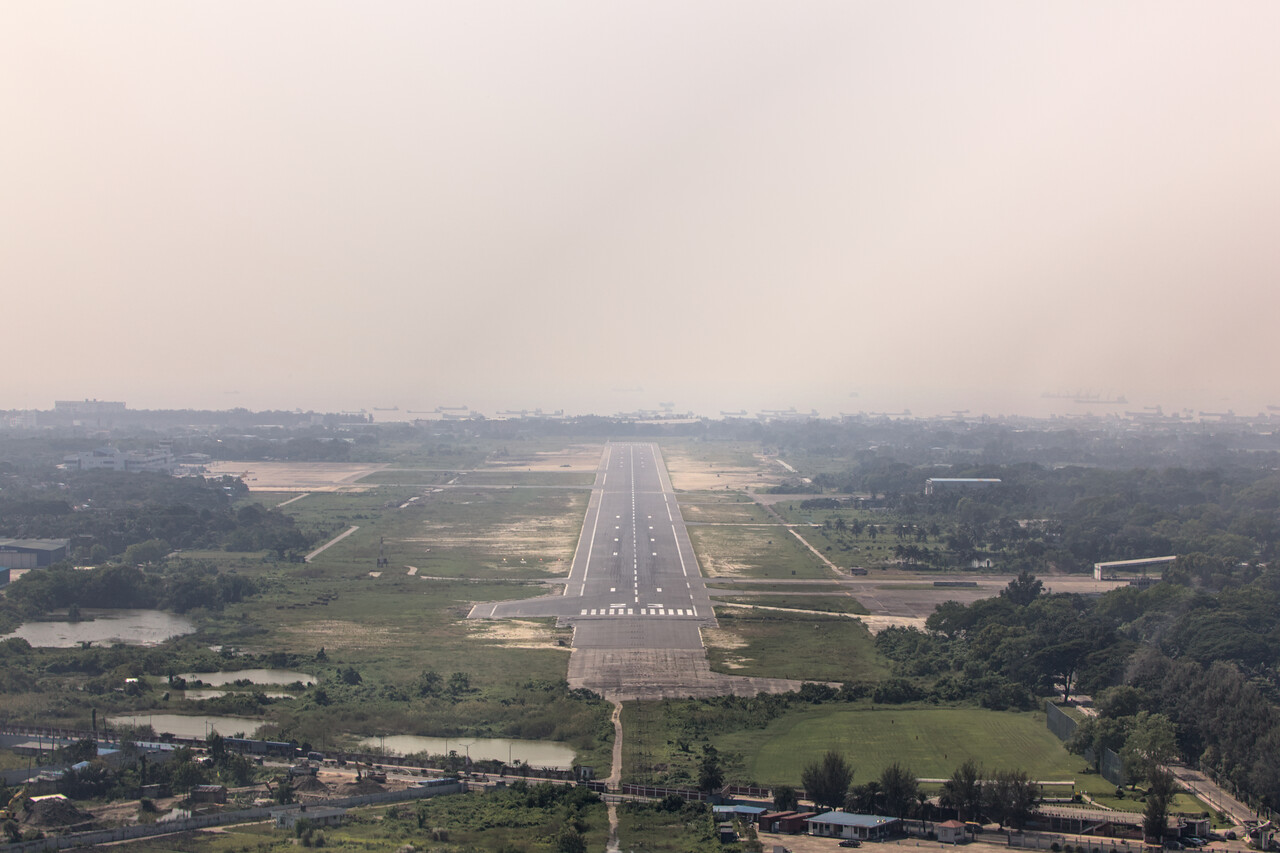
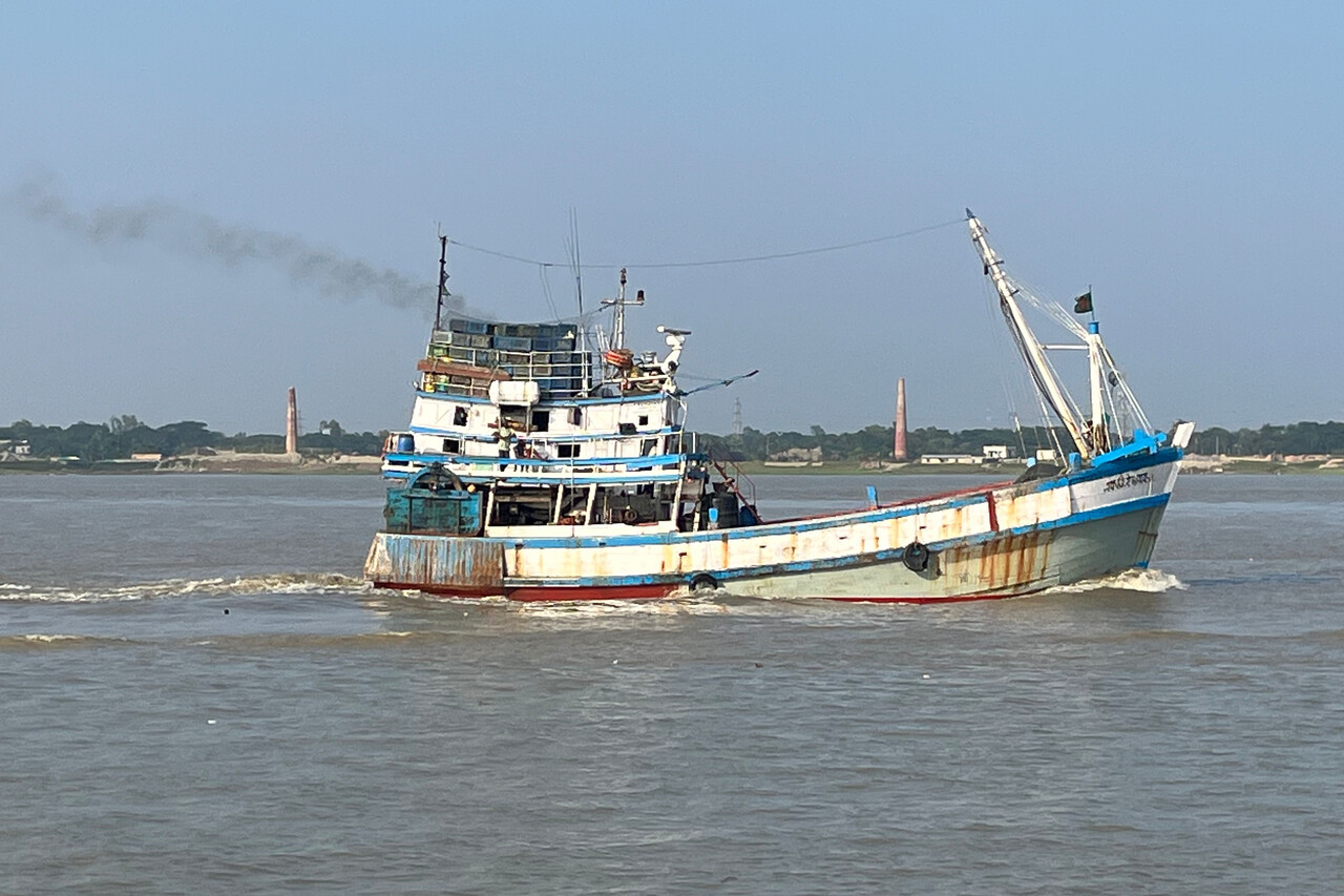
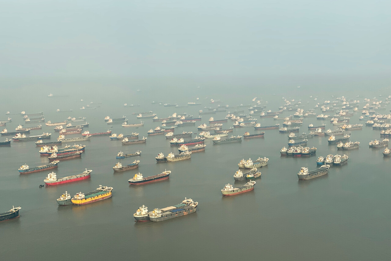
We had been to Bangladesh before, on vacation. In fact we did a really memorable trip from Dhaka to the Sundarbans on a paddle steamer more than a decade ago. As Chittagong doesn’t have the reputation of being a major tourist destination, we decided to stay just one night at a hotel close to the airport. It belonged to the ‘Chittagong Boat Club’ and was pleasant enough. There wasn’t much to do besides watching ships from the terrace, though.
Bangladesh was the last of our South Asian stops. Again handling worked fine without much hassle and with the mentioned cash payment in the main terminal’s waiting hall. Still expensive, but cheaper than in the Middle East and at least as competent and quick.
Thailand via Myanmar
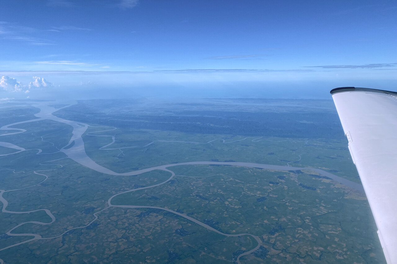
The leg from Chittagong to Bangkok, VTBD, took us south-east again. Either it was just a coincidence or the border to Myanmar is also the border between climate zones, but shortly before crossing it, the haze that had accompanied us since we left Jordan, was gone. The coastal regions were clear, while the valleys between the mountains of northern Myanmar were filled with low clouds.
Of all the countries we flew over, ATC in Myanmar was the hardest to understand, both with respect to accent as well as transmission quality. It took us a while to get used to it, but in the end it worked well, they mostly let us alone.
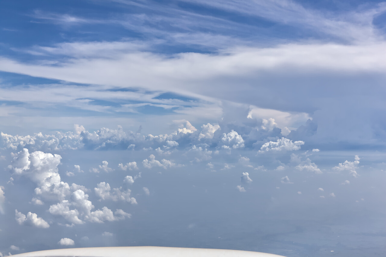
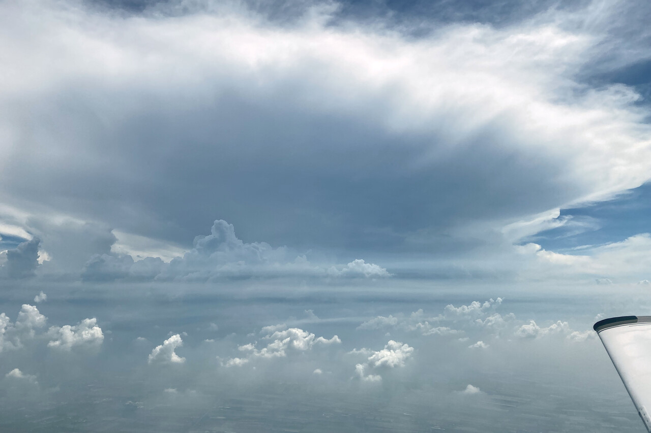
We had left Chittagong later than we liked, the airport does not open before seven local time and you can’t depart before 7:30. The flight took five hours and convection started well before we reached Bangkok. However, we had reached Thai airspace by the time we needed avoidance headings and Thai ATC was really excellent. We had chosen FL170 for cruise once again and it worked well for us.
VTBD is a huge and busy airport and there were CBs all around when we reached the terminal area. The controller did a very good job in squeezing us between the big boys. He asked us for 150 knots indicated for as long as possible but was happy with 145 in level flight. Moreover, he let us descend to one thousand feet above ground at our convenience, so we could get below the clouds in the clear.
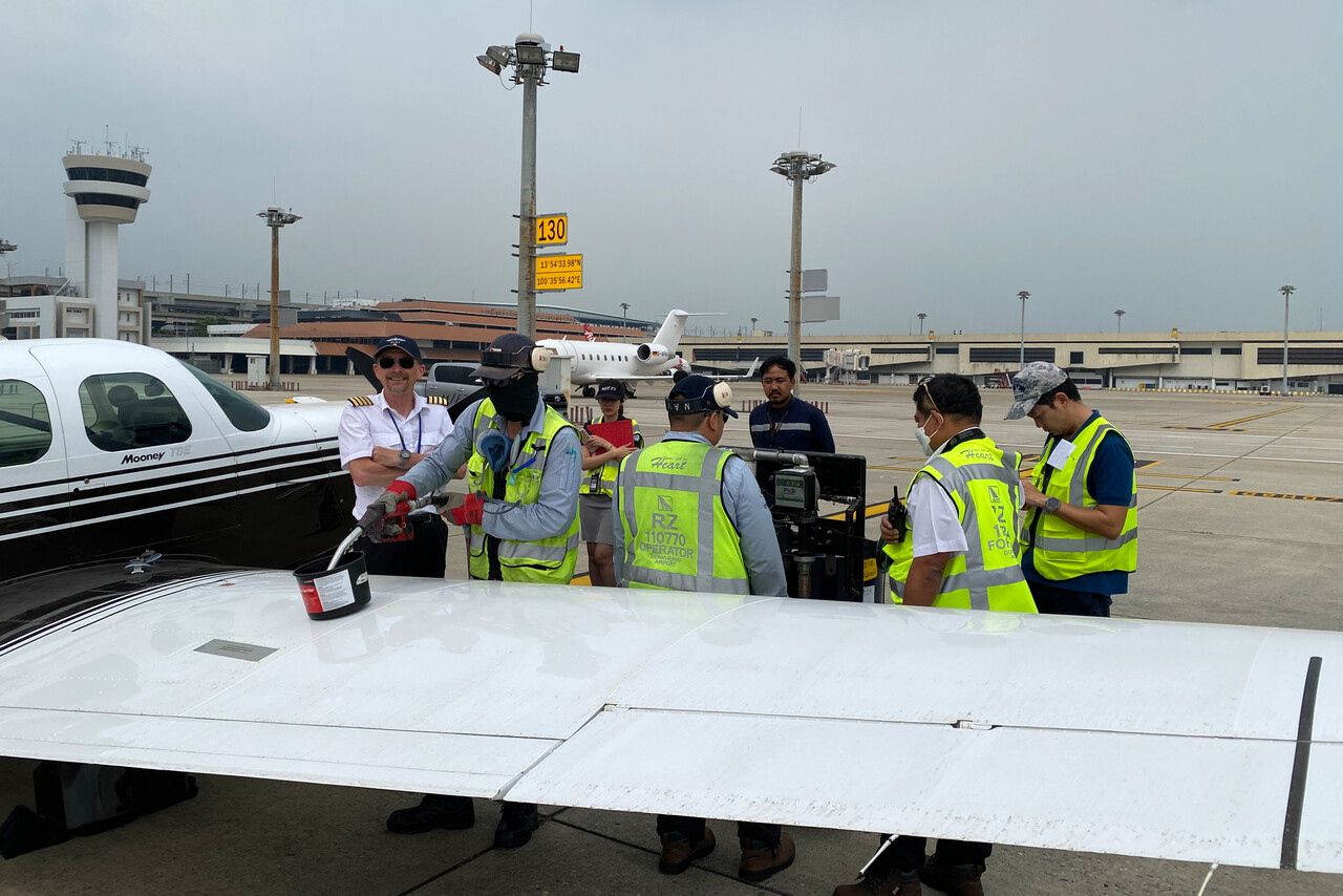
Refueling was the most efficient and quickest we ever had from drums so far. Avgas was also the cheapest we had on the journey at just above 1.50€ per liter. We had just completed fueling and secured the plane when the thunderstorm started and we were taken to the GA terminal.
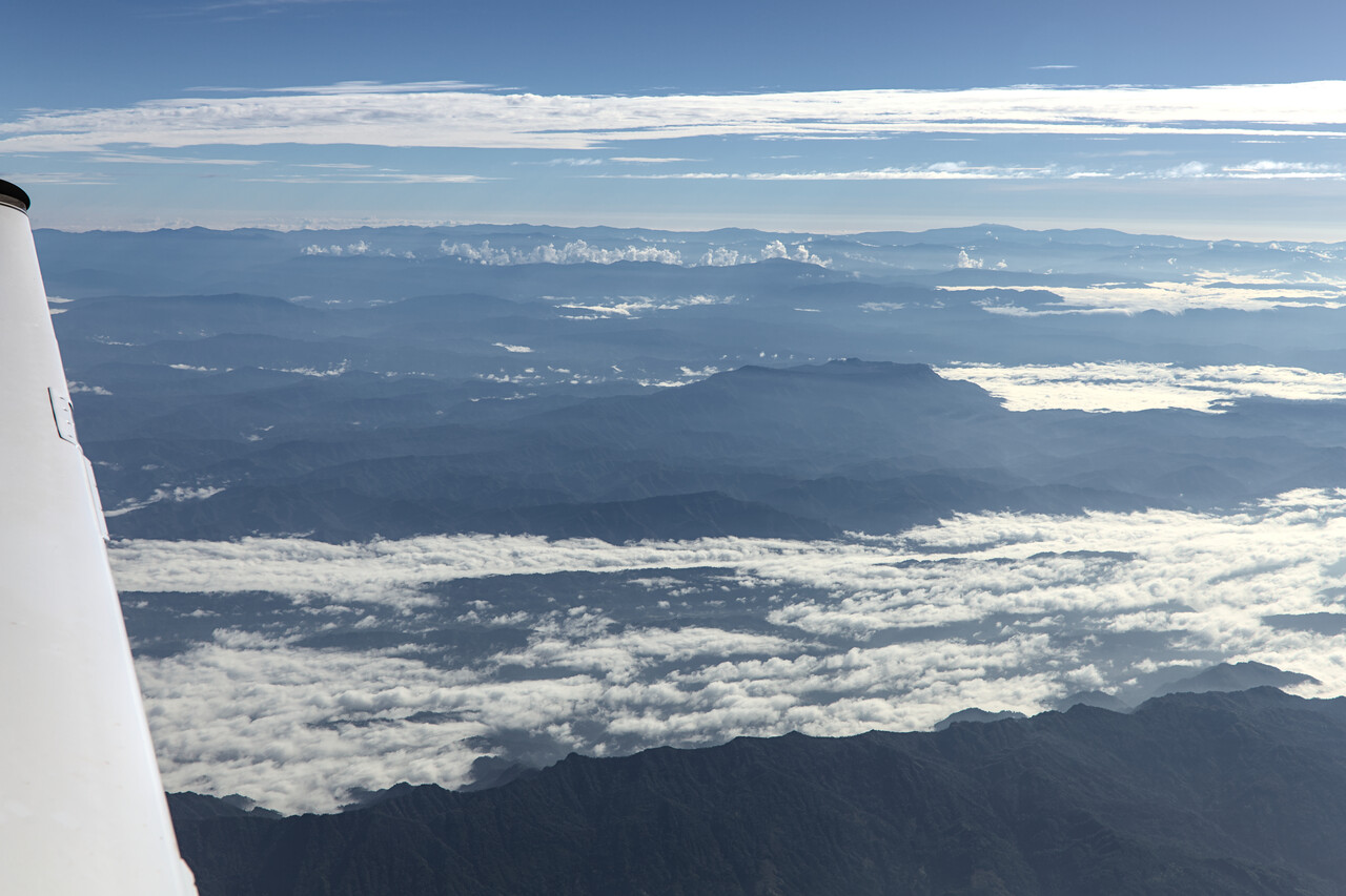
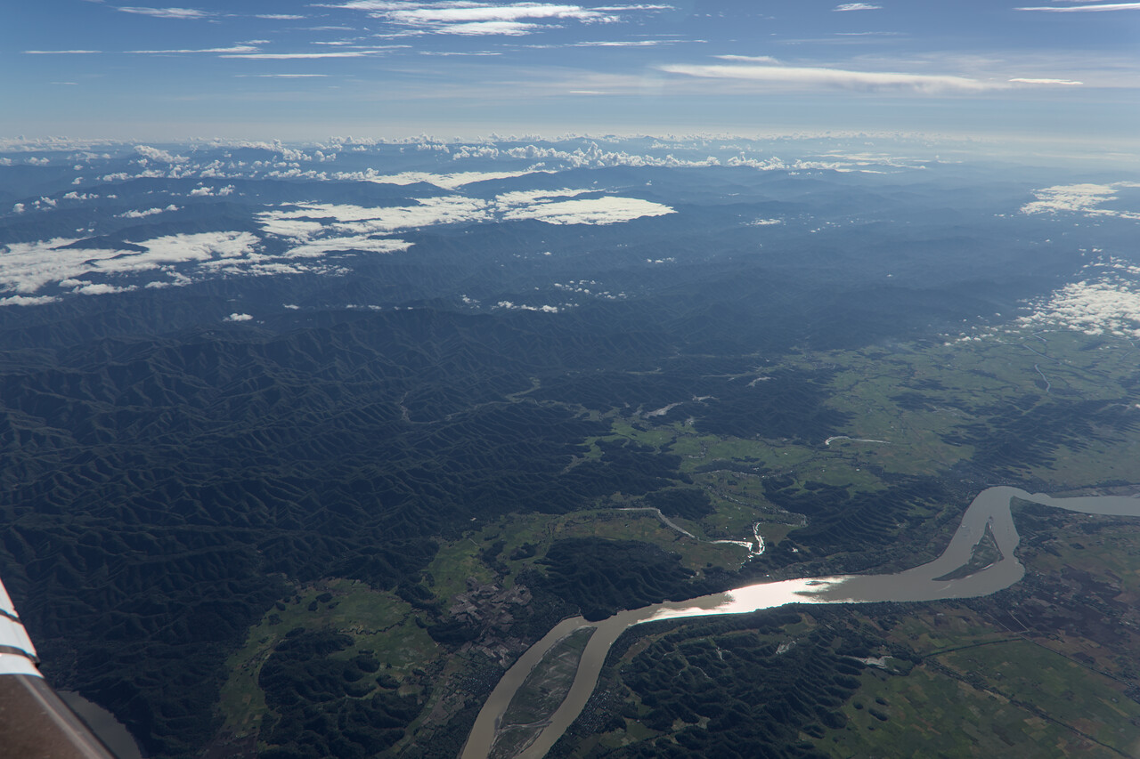
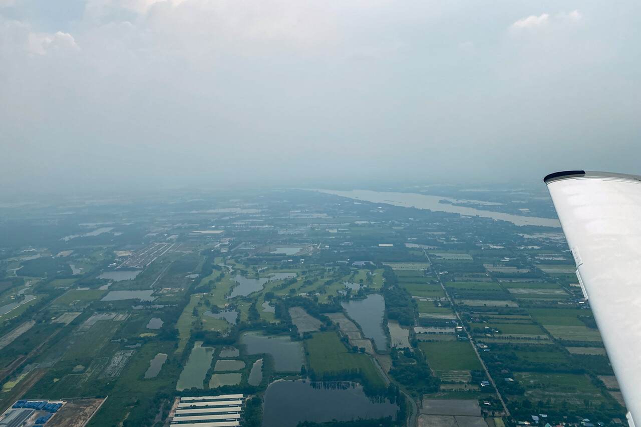
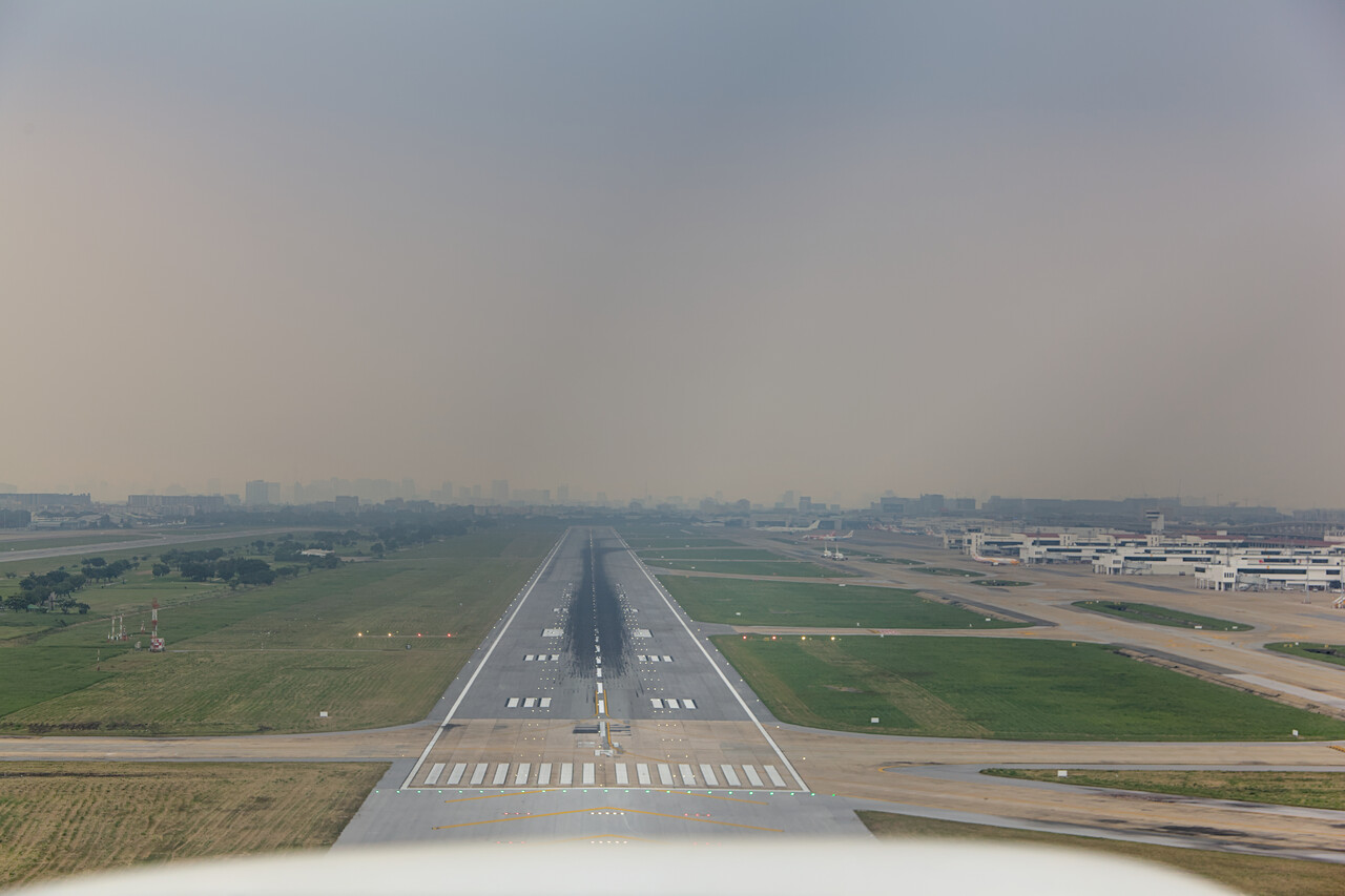
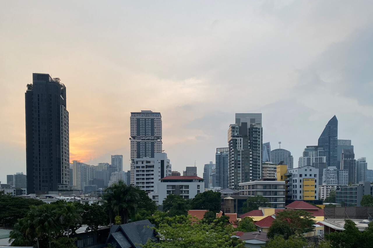
Bangkok is a bustling and interesting city, many will know. We had been there a couple of times before, so we had already visited most of the main tourist attractions. It was very different this time, though, as we had a local contact. It turned out that we have a common friend with one of the few Thai small GA pilots. He was keen to get in touch with us and gave us the most friendly welcome one can imagine. He picked us up and dropped us off at the airport and he took a whole day to show us his Bangkok away from the tourist trail. And, a highlight for us, he invited us for lunch with many of the well-known and not so well-known Thai specialties.
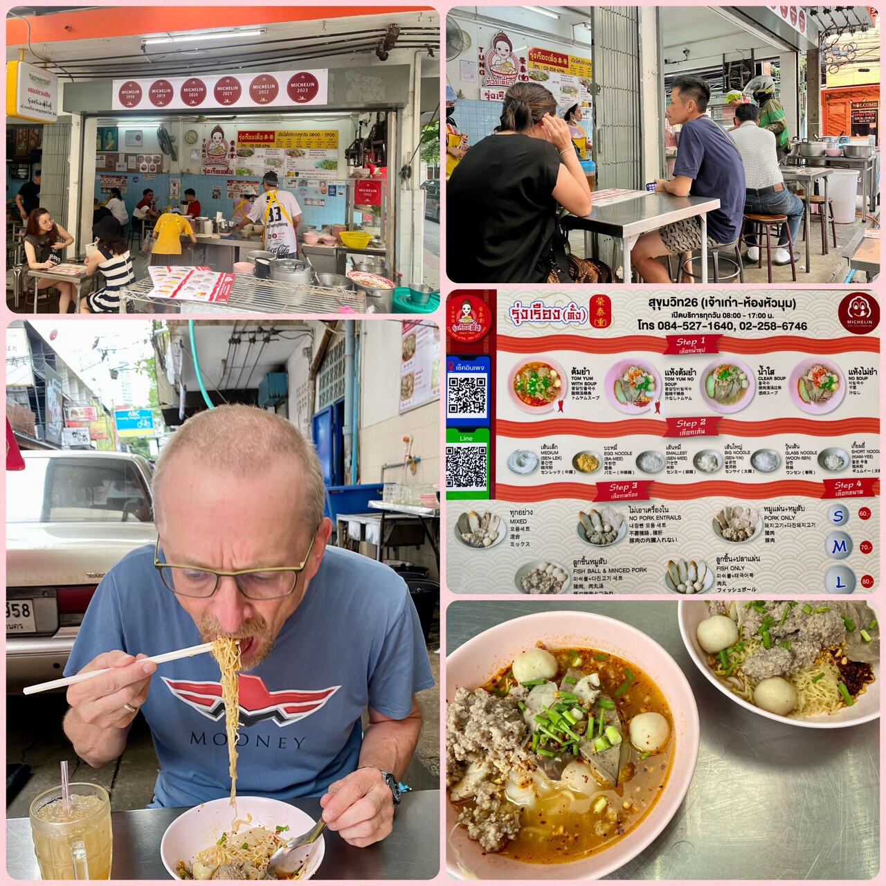
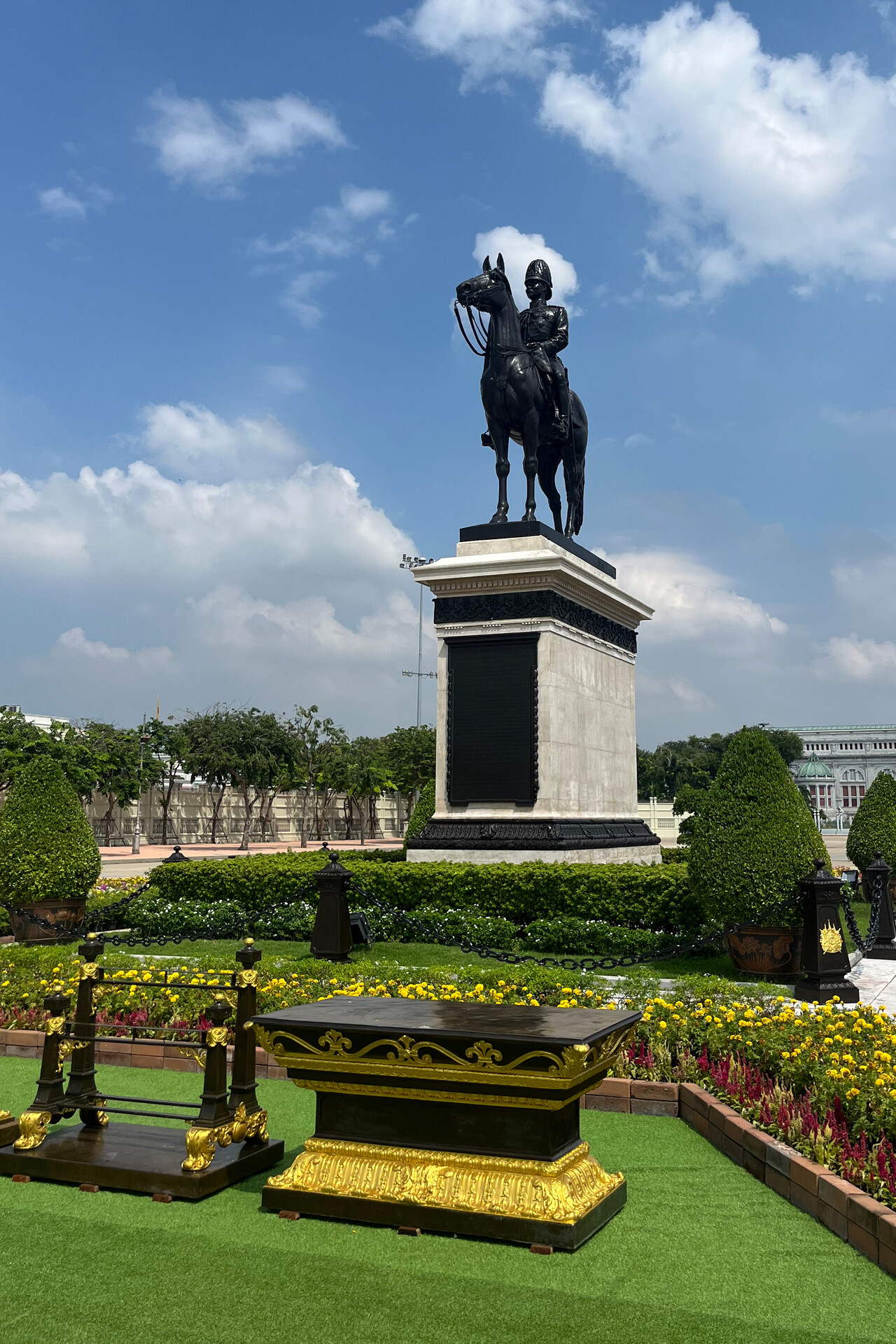
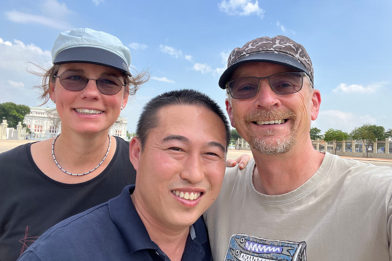
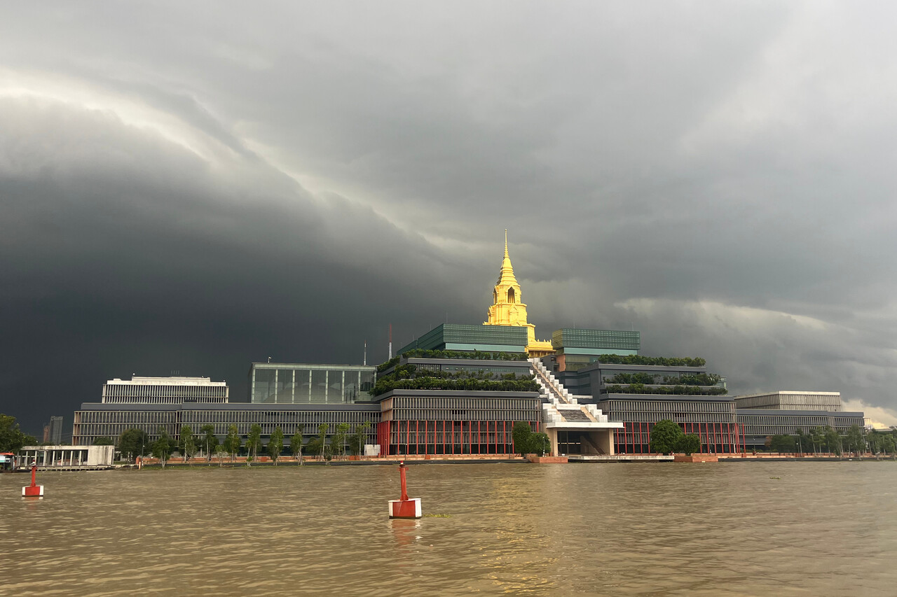
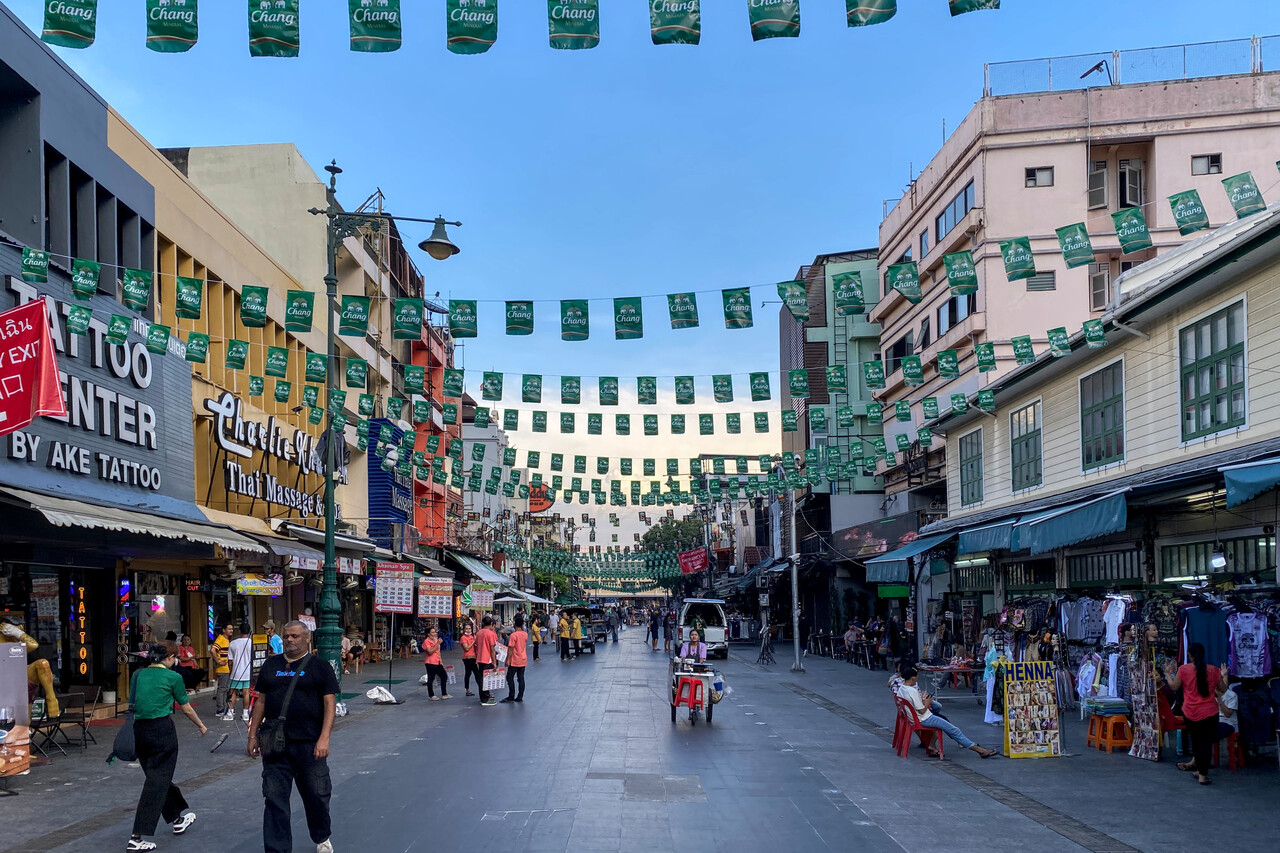
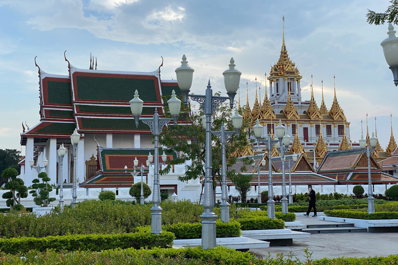
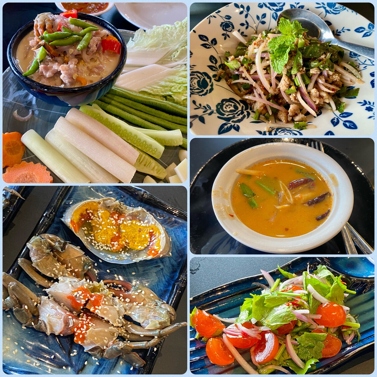
Our Thai friend knew the handling company and he bargained for us. Thailand has the reputation of being extremely expensive for small GA and in fact it is. With his help, cost came down to what we were used to from other places. Service was excellent though, hands down the best we had on the journey.
Malaysia
Langkawi, WMKL, in the very North of Malaysia was the first on the route we hadn’t chosen for the availability of Avgas. In fact there is (normally) no Avgas there. It was a luxury we treated ourselves to and it saved us from a six hours plus leg in the ITCZ. We knew the island from previous visits and had fond memories of it.
This time we got an early start again and we reached our destination before the soup started boiling so it was a relaxed flight. We flew at our standard level 170 as usual, but this time we didn’t have to avoid any convection. ATC in Thailand and Malaysia were very good again. We overflew the Gulf of Thailand and the northernmost part of the Malacca Strait. The islands in these waters are dream destinations for many travelers and we really enjoyed this flight. And the approach into Langkawi is one of the nicest we had.
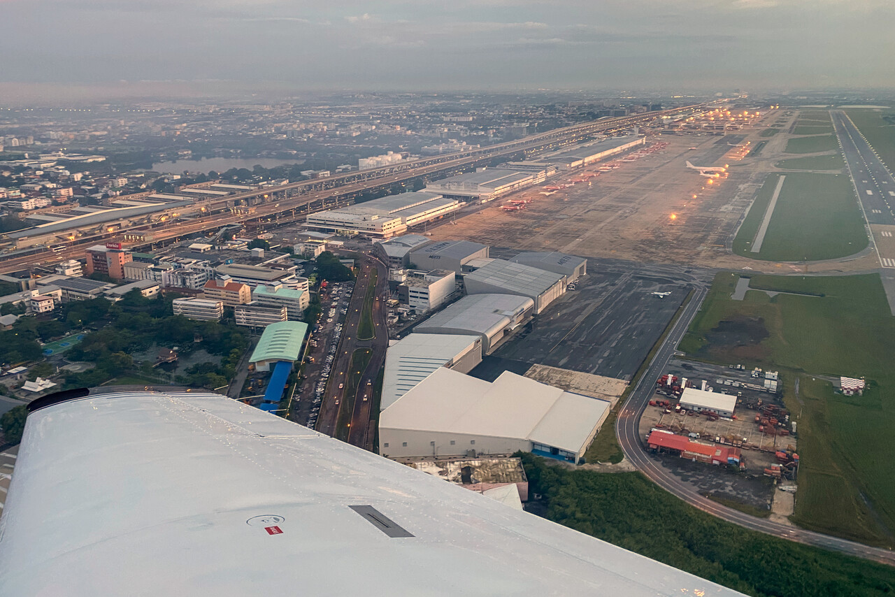
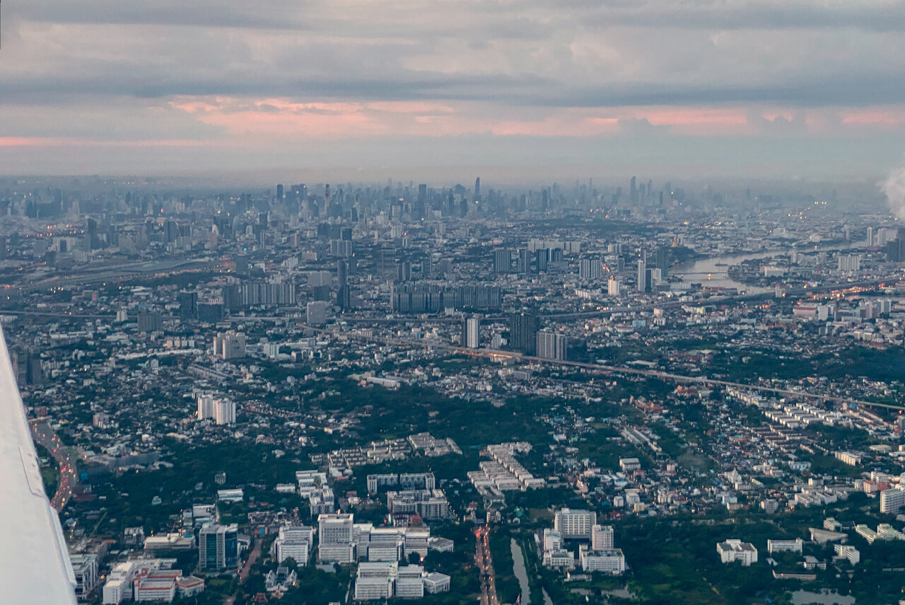
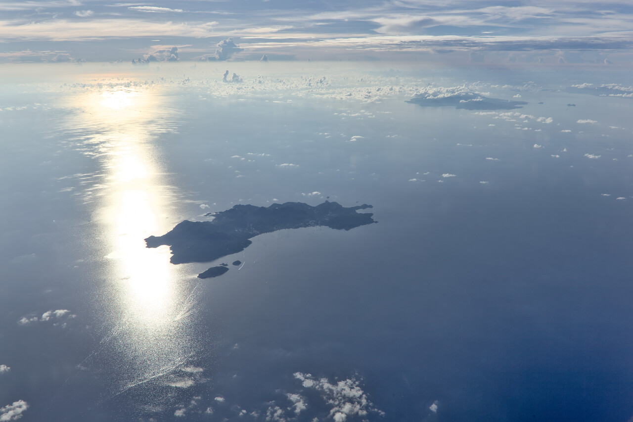
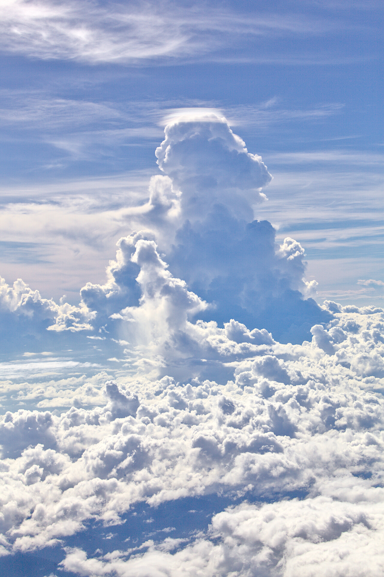
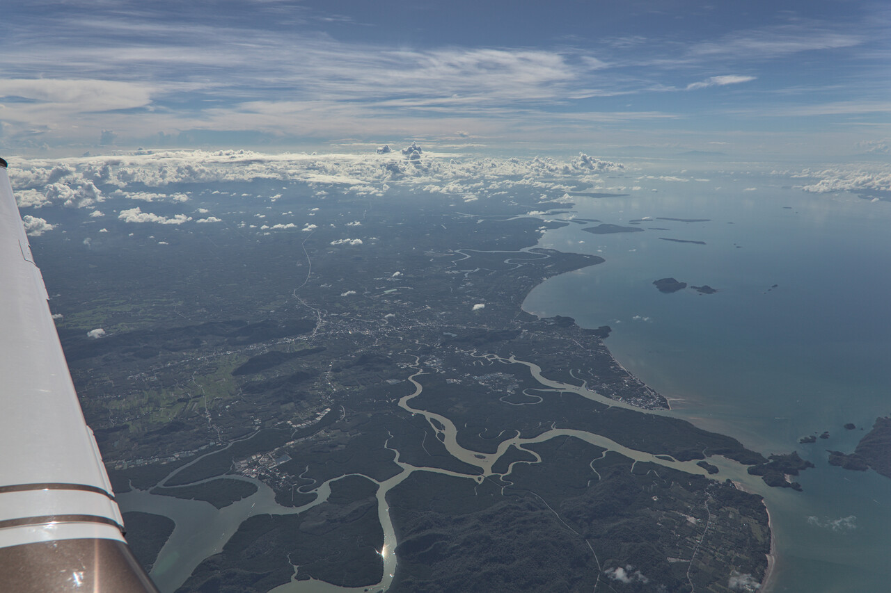
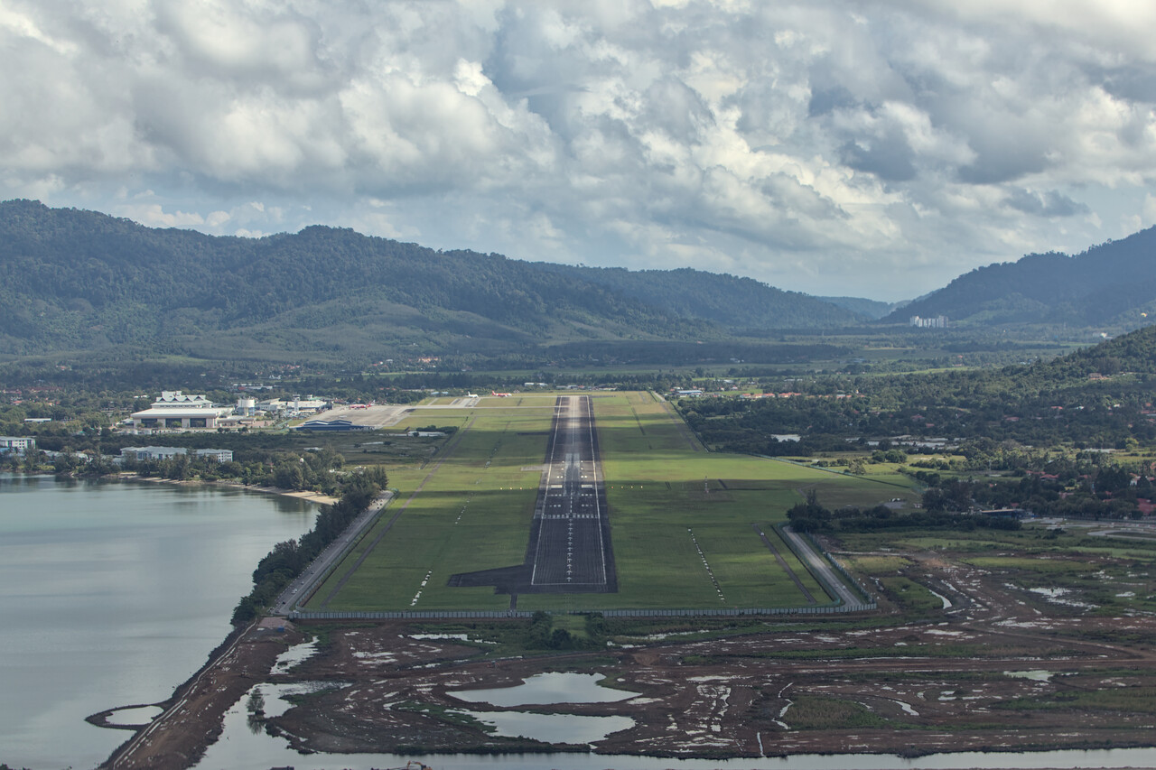
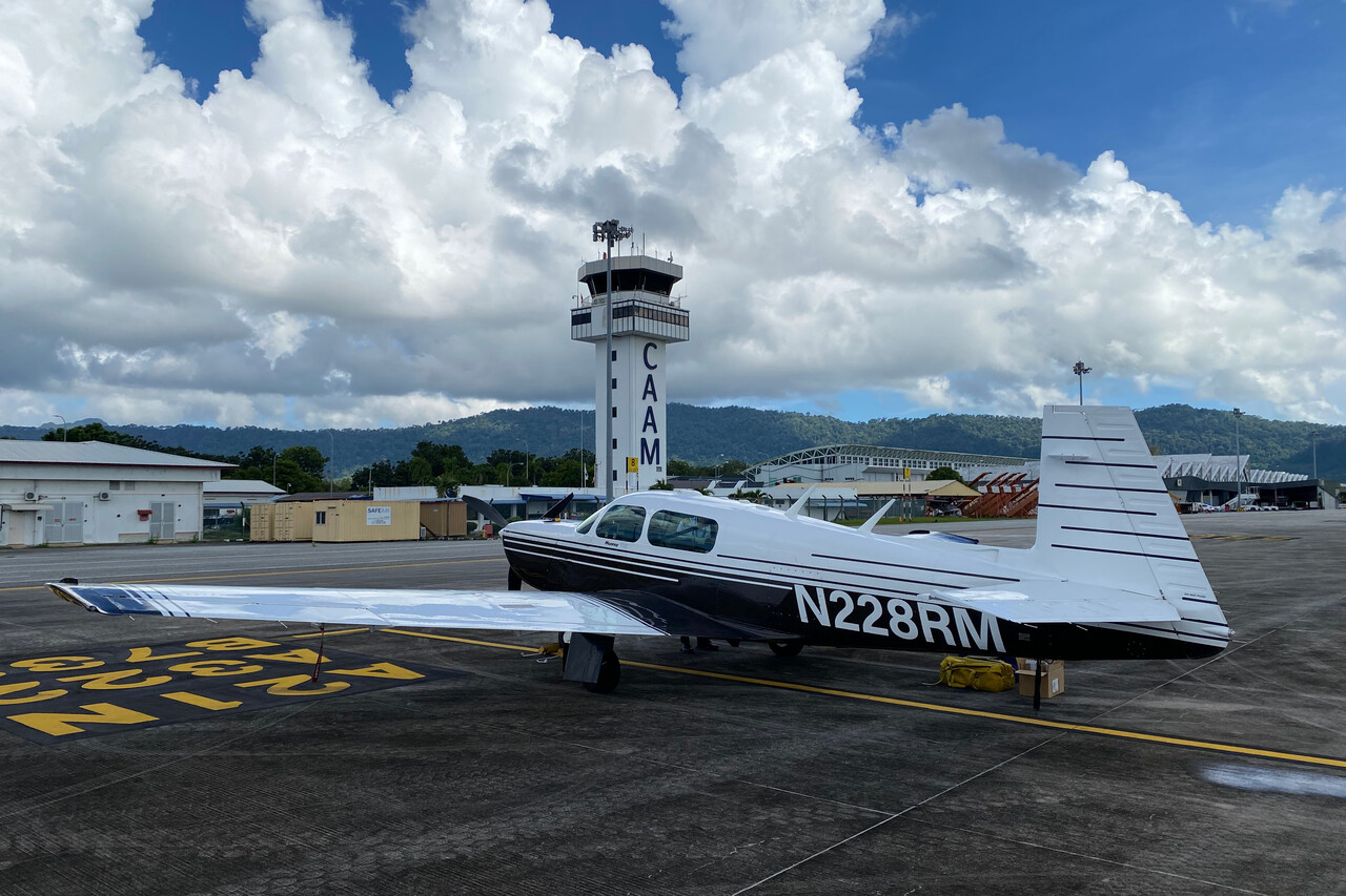
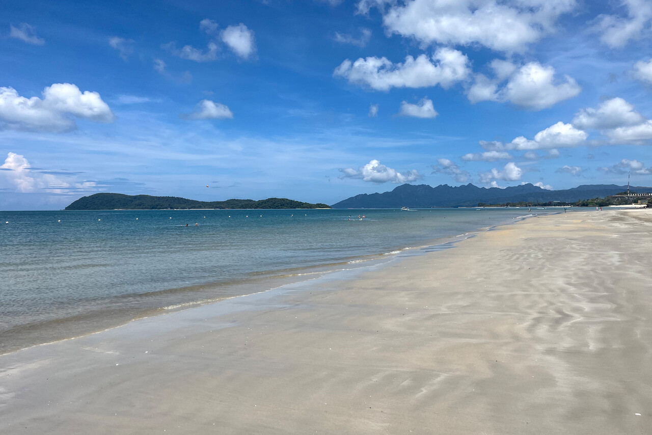
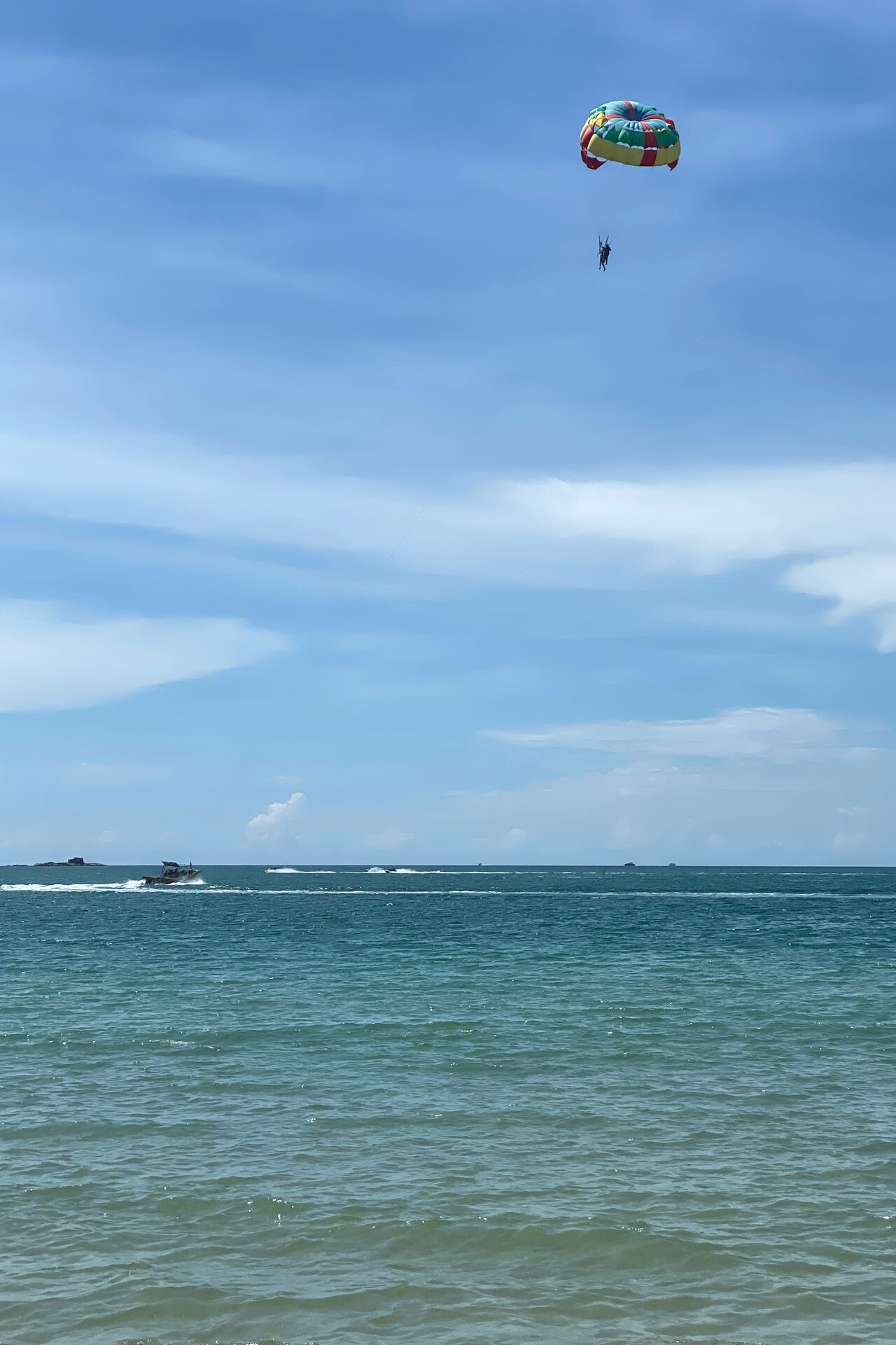
Langkawi is a tourist destination with hotels and restaurants of all categories. The beaches are first class and there are attractions like a canopy walk and a crocodile farm and some more of that sort. We skipped them this time as we just wanted to relax for a day and a half.
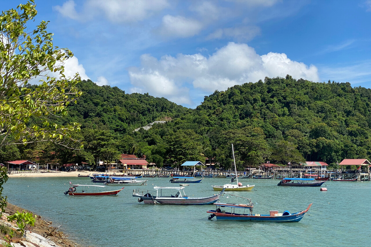
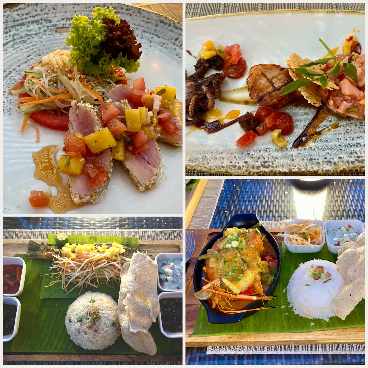
There is no GA terminal or FBO at WMKL and it’s the handling agent’s job to guide you through customs and immigration and through the main terminal. While he was a friendly guy, he wasn’t too good in doing his job. It took forever for the immigration police to arrive when we wanted to enter the country. Once the officer was there, he asked us why our agent didn’t notify them in advance, they would have been there in five minutes. It wasn’t much better when we wanted to depart but at least we didn’t have to delay our flight plan. Apparently not many GA planes arrive in Langkawi from abroad.
Singapore
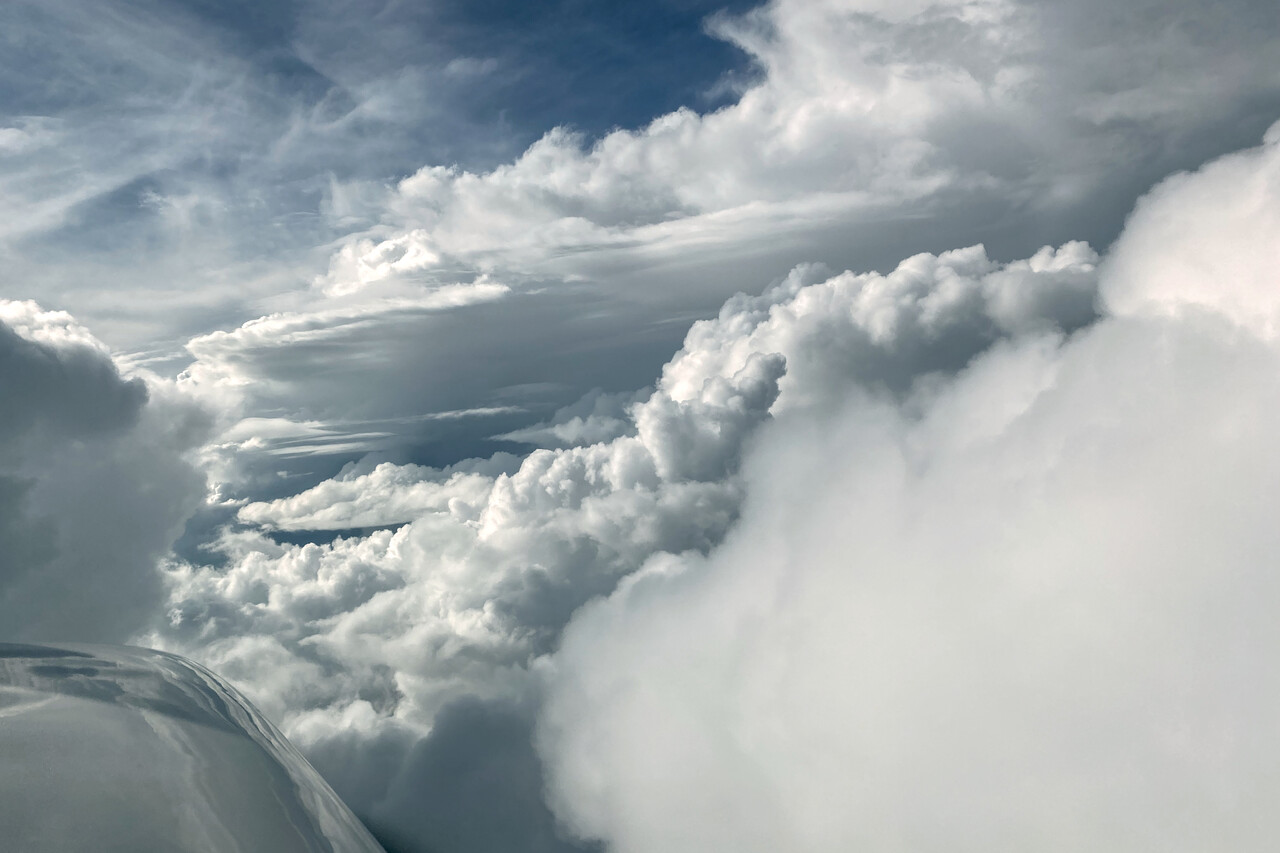
Headwind was forecast for our flight to Singapore’s GA airport of Seletar, WSSL, the higher up the stronger. As it was a relatively short leg of only around three hours, we would arrive rather early so we decided to fly at FL110 this time. Convection started quickly and we had to struggle quite a bit to avoid the weather. I’m not sure if it would have been easier higher up.
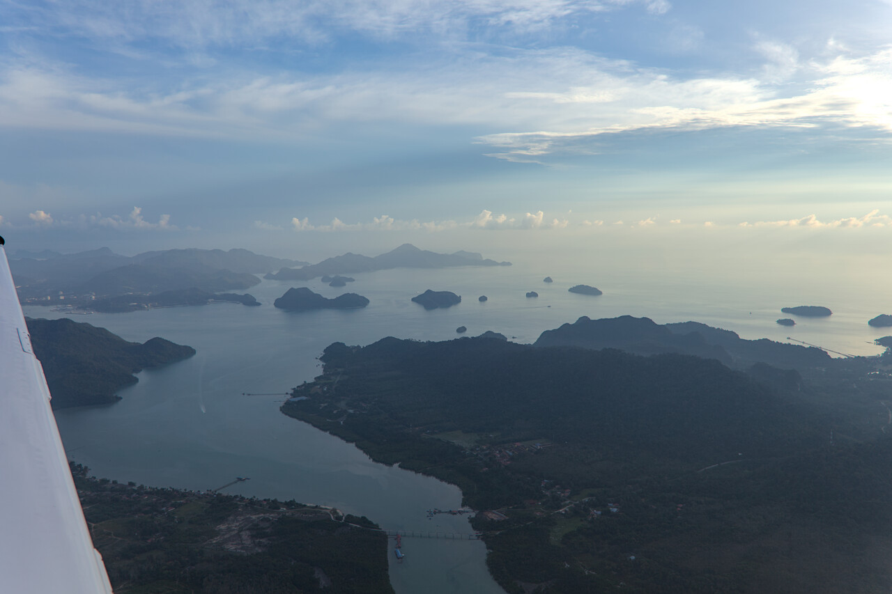
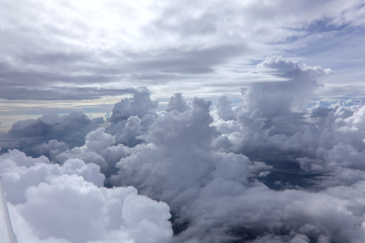
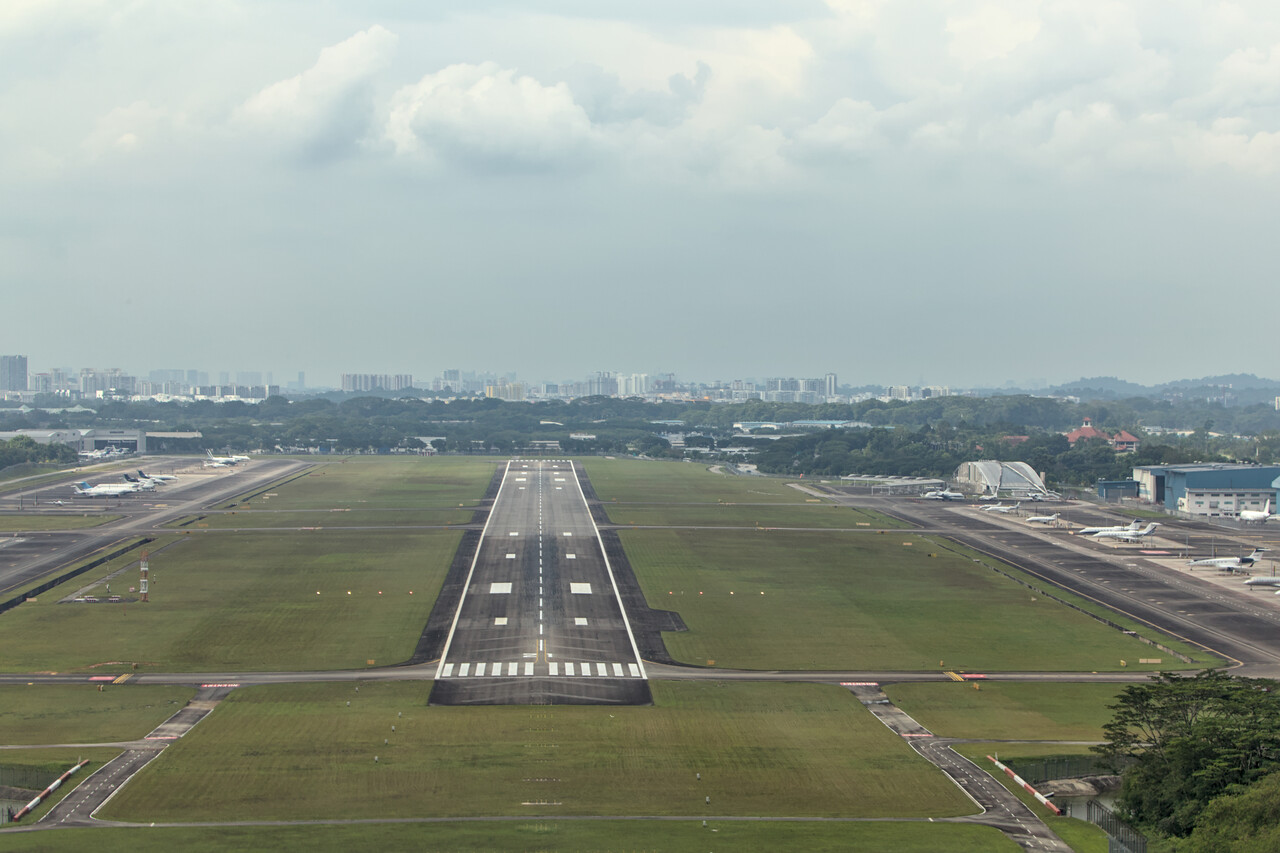
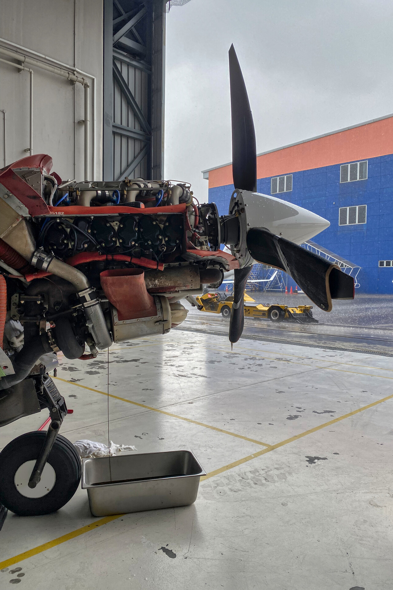
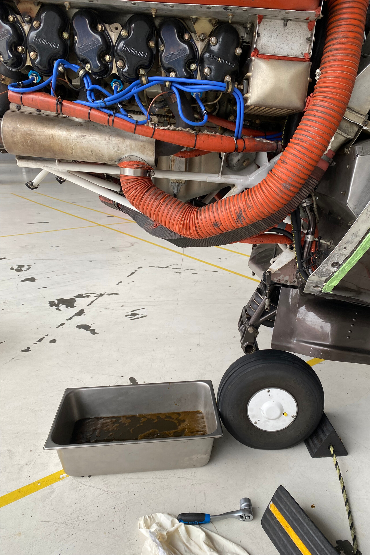
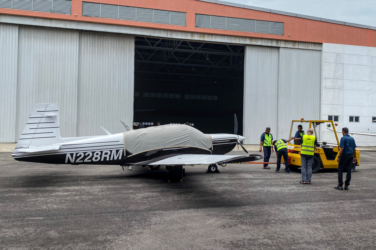
The FBO we used at Seletar runs a maintenance shop and we had arranged that we could do an oil change there. It’s not possible to taxi to the maintenance hangar, all aircraft have to be towed there. Although we had arranged this beforehand, it was a bit chaotic and took quite a while. However, we finally made it through C&I and were reunited with RM in front of the hangar. We managed to pull her in just before one of these tropical downpours started and all the staff went for their lunch break.
We had a new oil filter with us and the shop had ordered engine oil for us. By the time the mechanic returned, we were almost done. We cut open the filter together and found it clean. We had a bit over 40 hours on the oil by that time. At home we change every 25 to 30 hours but I think the longer interval is OK under these circumstances. We put the cowling on again, did a brief test run and RM was towed back to her stand while we took a taxi to our hotel.
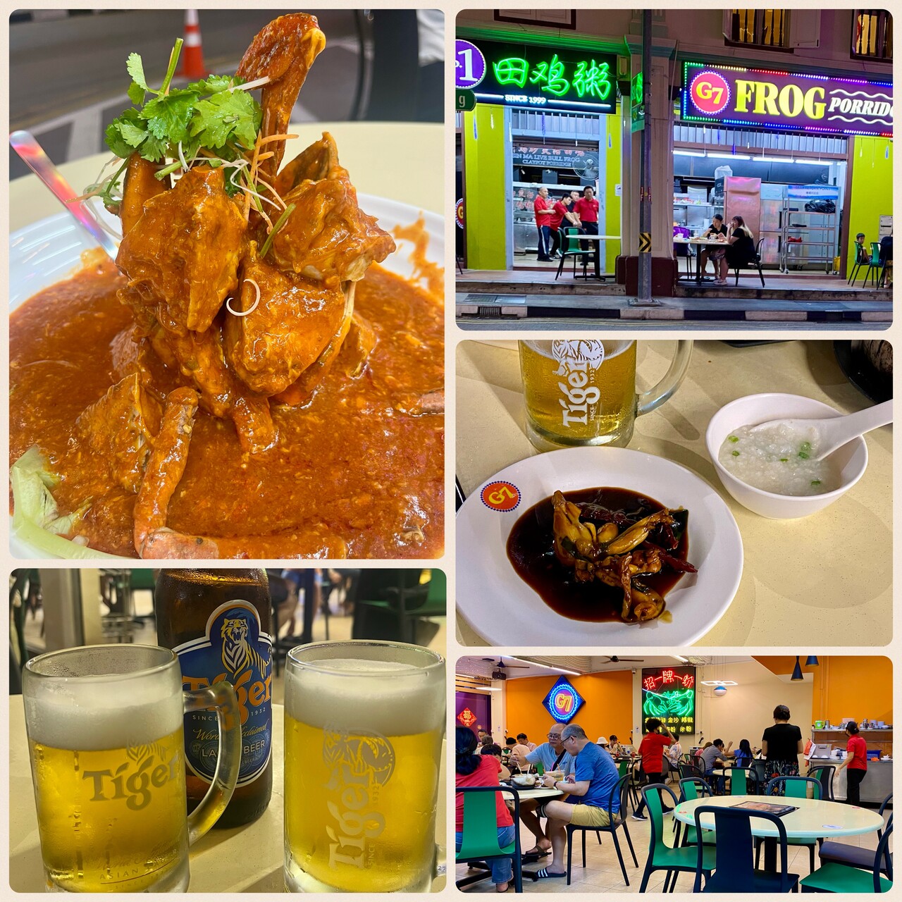
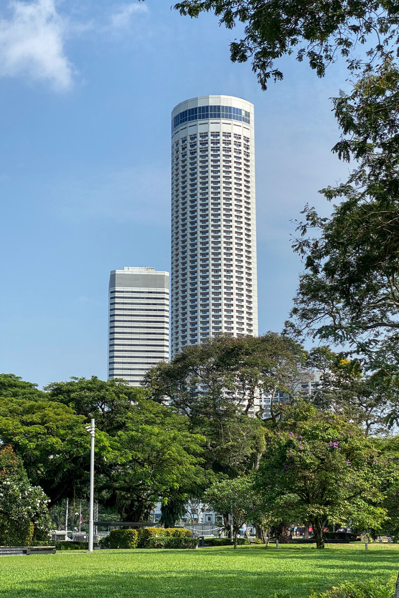
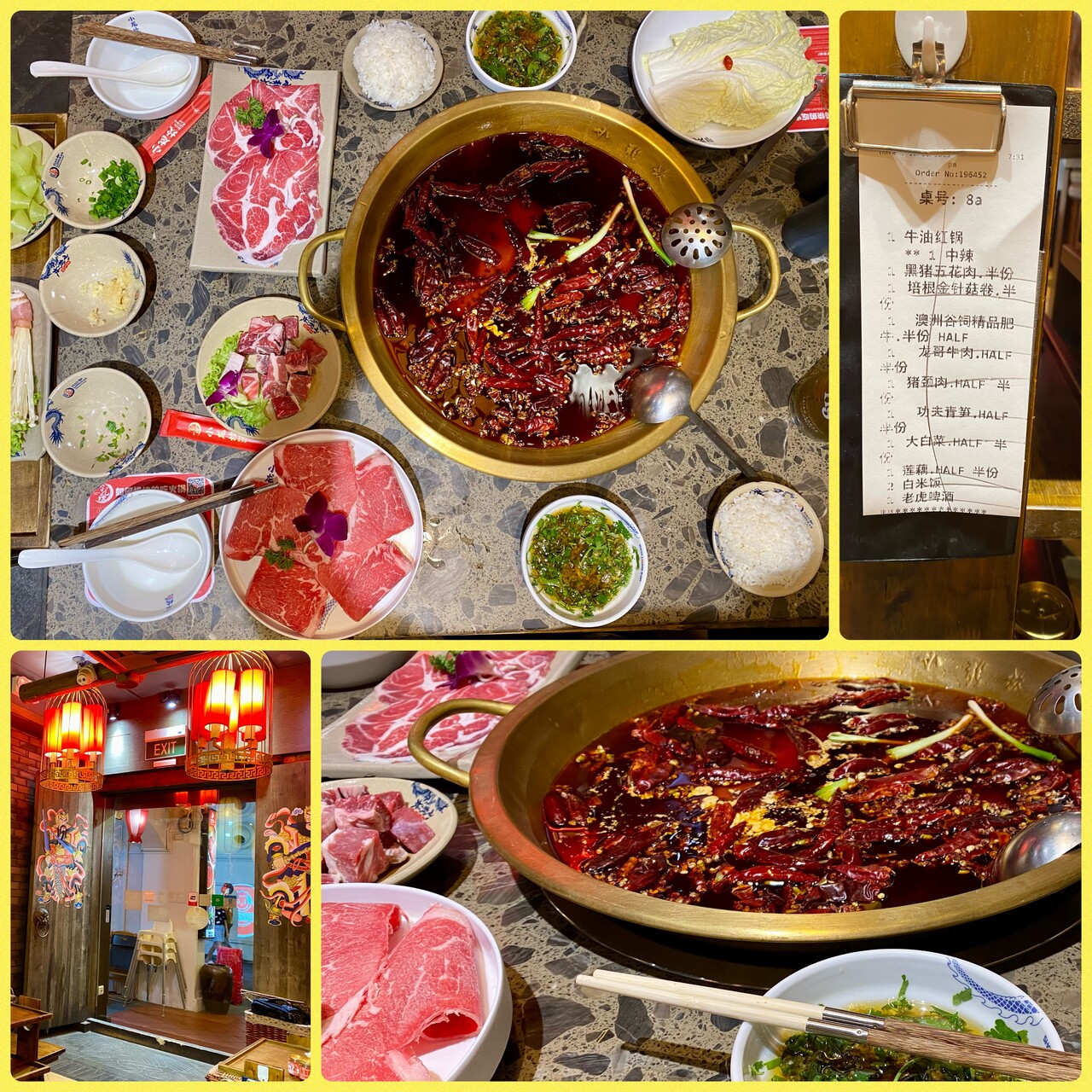
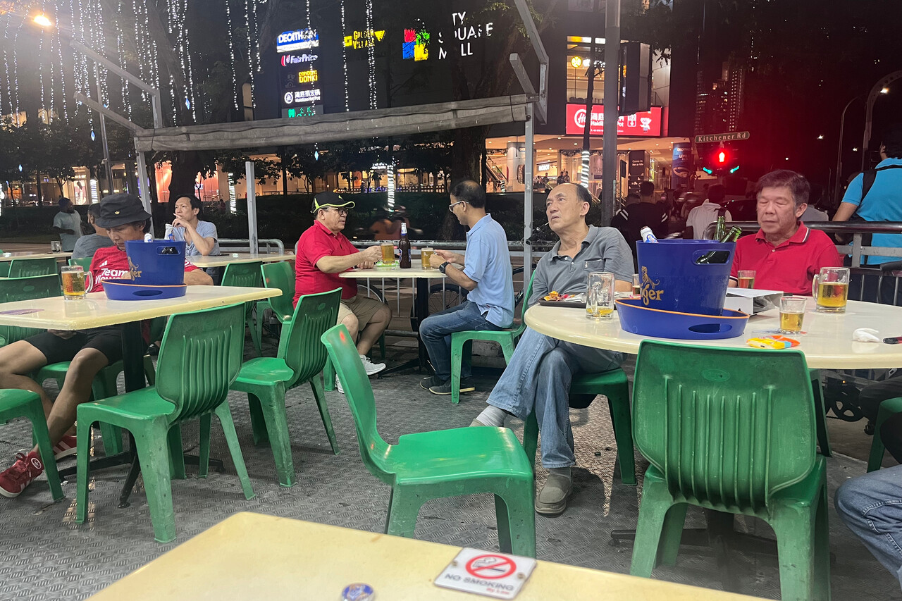
Singapore is heaven on earth if you like exotic food. The majority of its inhabitants are of Chinese descent, but there are Malays and Indians, Europeans and many smaller groups. Singaporeans love eating and all the ethnic groups have brought their cuisines with them. The city is full of hawker centers with countless inexpensive yet delicious options. Weight and balance limitations were our biggest concern 😉.
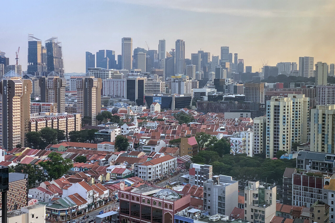
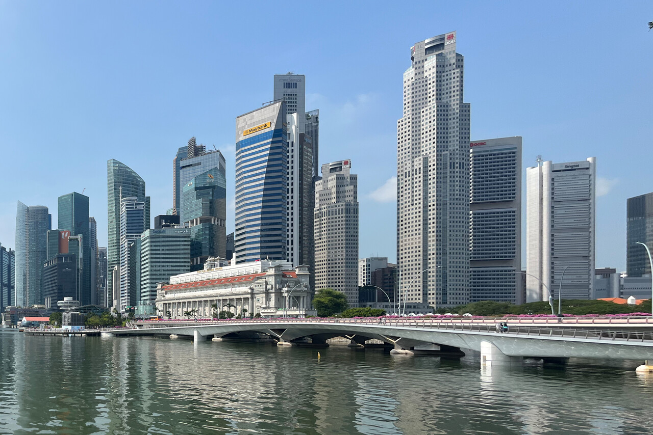
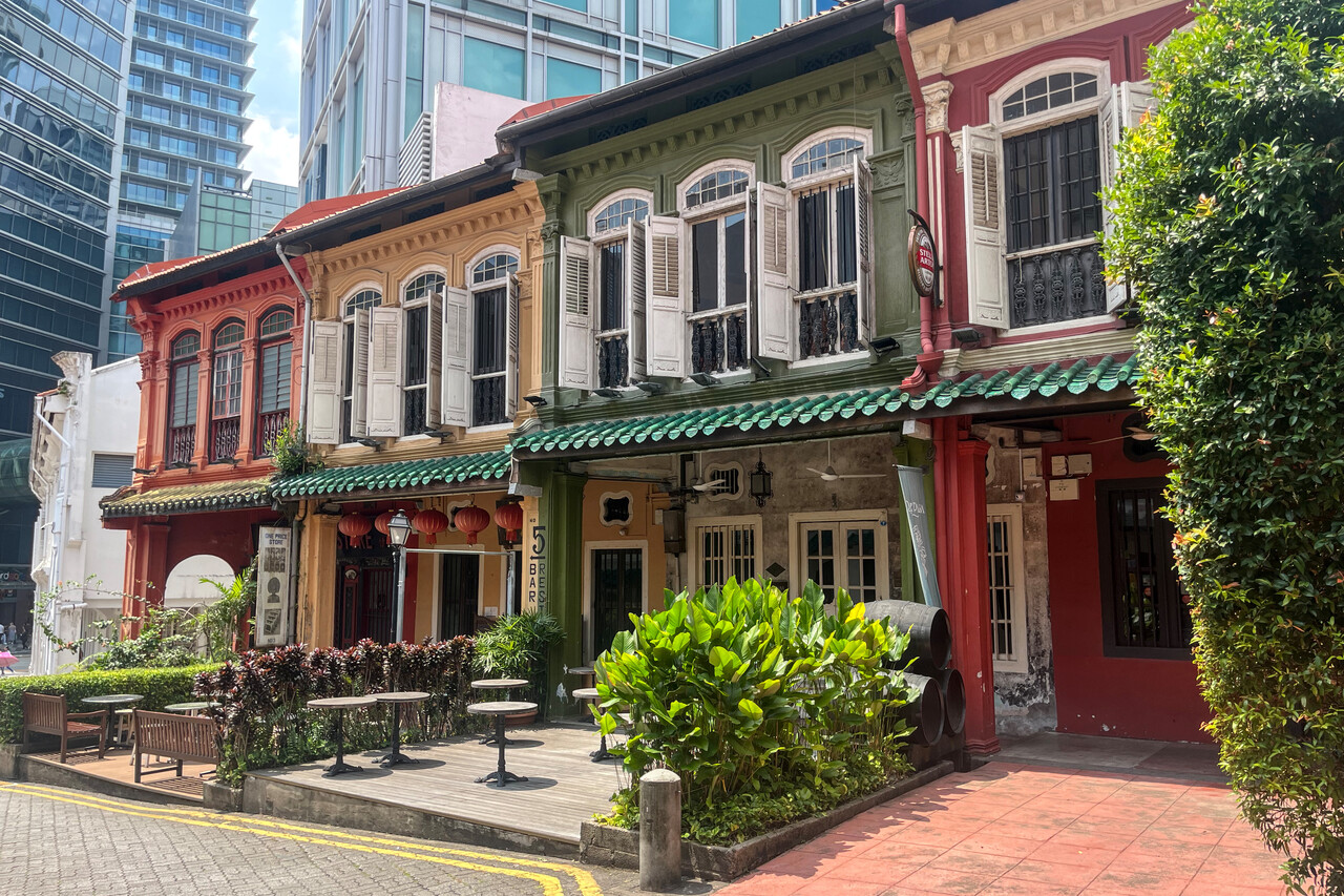
Not everybody likes Singapore, in fact it doesn’t have the charm of other Southeast Asian cities. Many of the old quarters with their shop houses have been replaced by skyscrapers and the few that remain look like museums. However, if you move out a bit, to places where common Singaporeans live, the shops and restaurants and watering holes are still there.
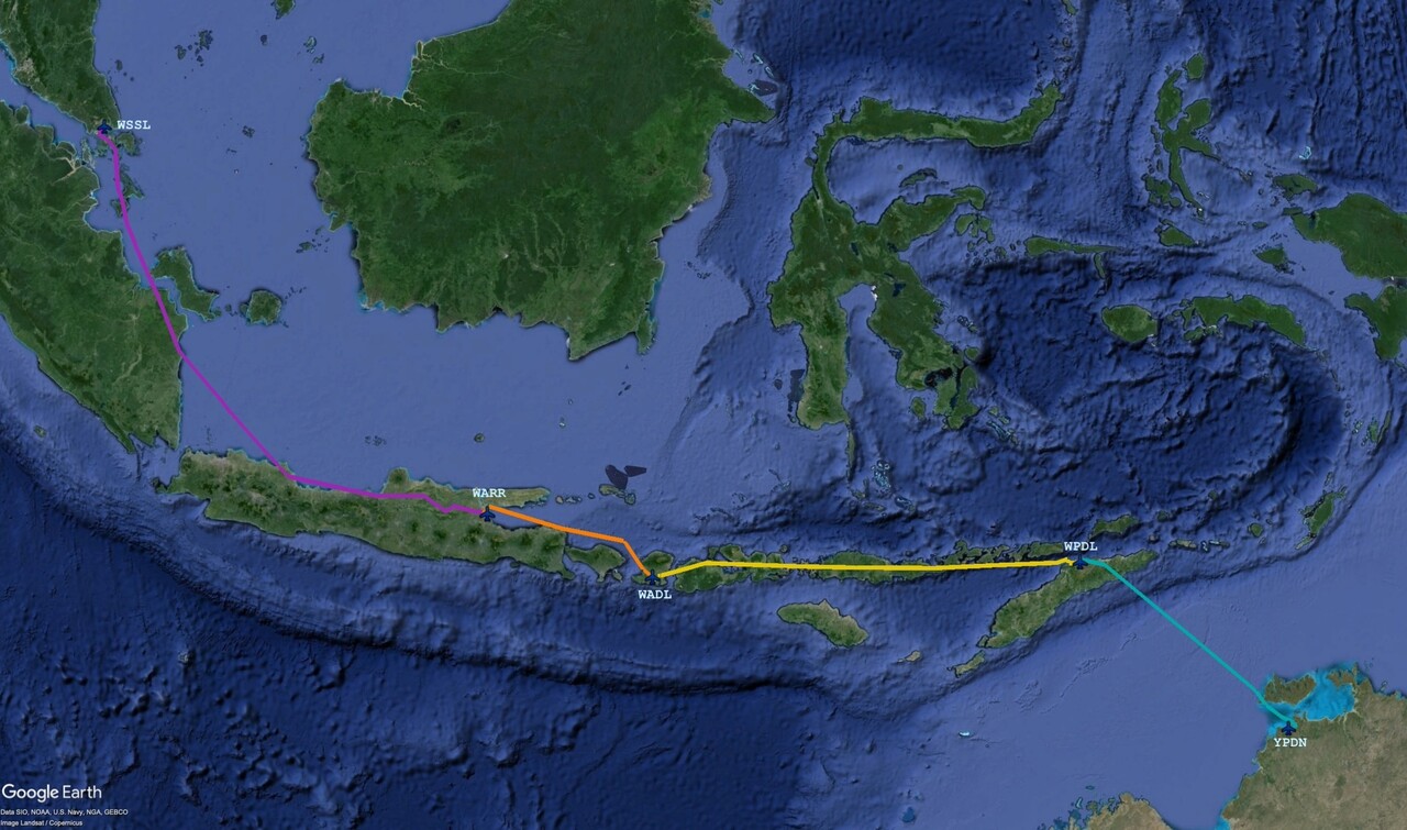
Two days before we wanted to leave for Indonesia, our handling agent there informed us that no Avgas was available in Jakarta. The only place in this huge country where we would be able to refuel was Surabaya. And even there the drums would only arrive eight days later. We had planned to stop in the Sumatran City of Pekanbaru and continue to Jakarta to refuel there. Surabaya would have been our last stop in Indonesia. Once again we had to replan. Our only option was to fly to Surabaya directly, and buy two drums there. We decided to extend our stay in Singapore by one day and spend the rest of the time till the fuel would arrive in East Java.
Flying along the Sunda Islands
The Sunda Islands or the Malay Archipelago as it was formerly called, belong to Indonesia, except for a fifth of Borneo which is East Malaysia and Brunei and the eastern half of Timor, which is an independent state. While we’ve never been anywhere near Borneo, we landed in Dili, East Timor and hence the title of this section, which describes the flights from Singapore to Darwin.
To Surabaya, WARR, East Java
We were of course a bit sad that we would have to skip Sumatra and Jakarta, but we couldn’t do anything about it. We had planned a route that would take us over the Riau Archipelago, along the east coast of Sumatra and the north coast of Java and we hoped for some nice views.
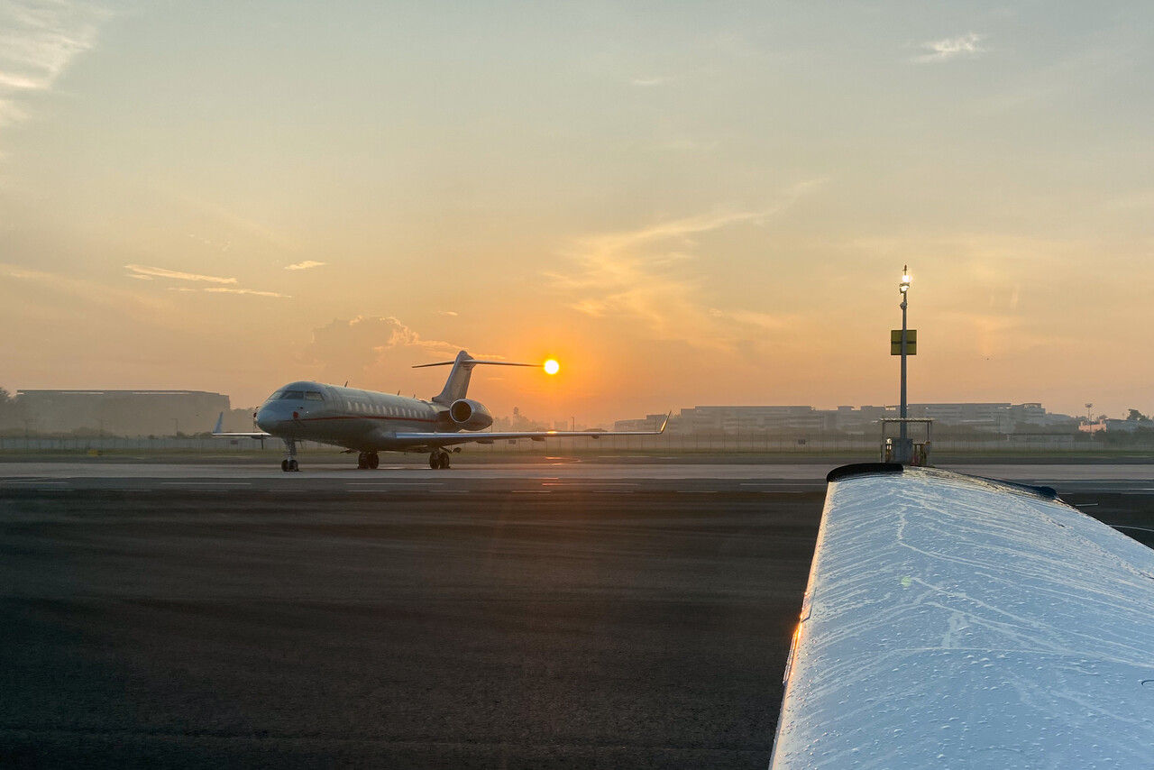
As always we tried to get an early start and planned to take off in Singapore at seven in the morning local time. Handling was good but when we requested start-up, it turned out that the local agent had filed for the wrong day. Singapore ATC was very good, they ordered the agent to come to the ARO and everything was resolved within ten minutes.
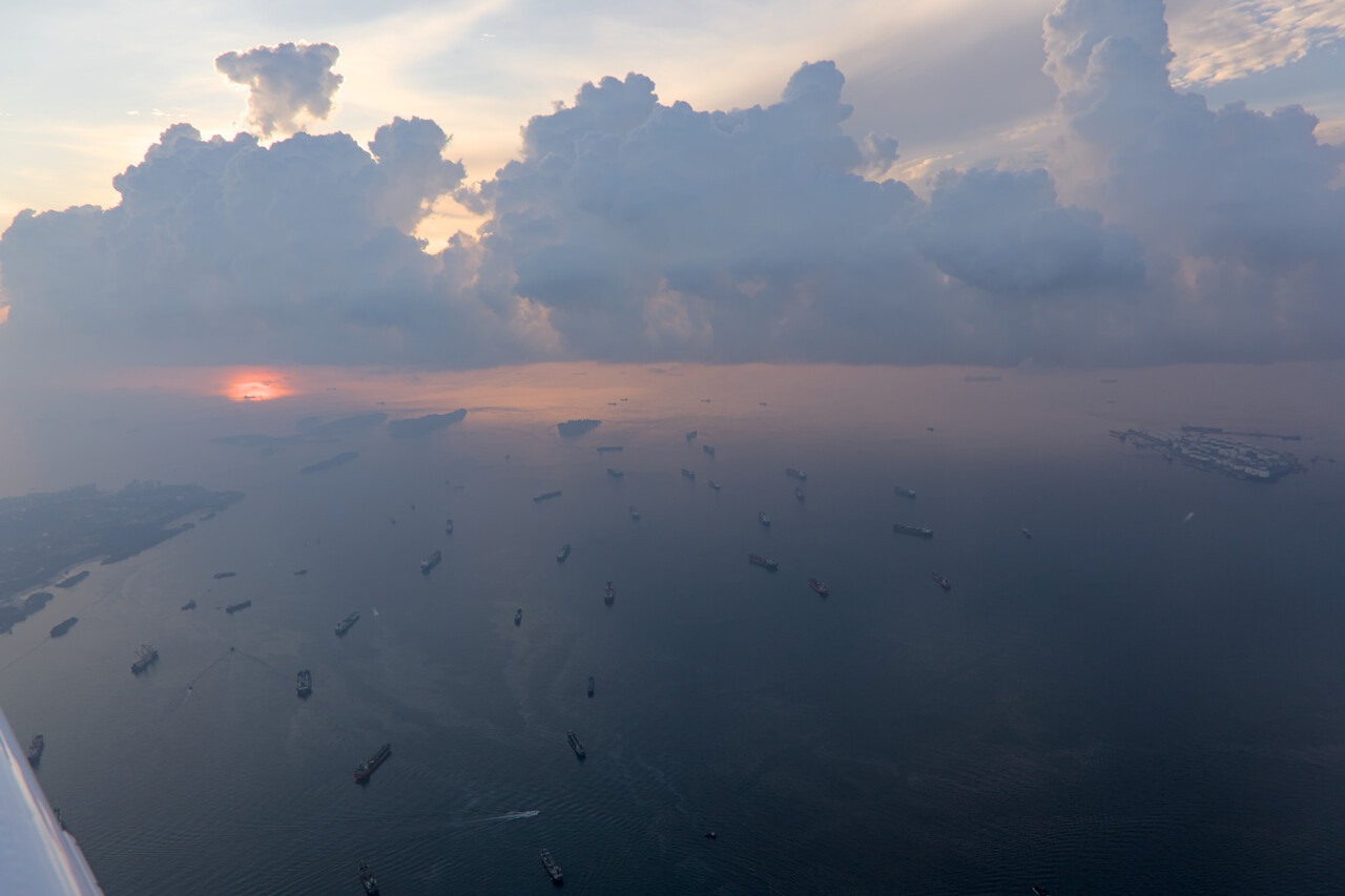
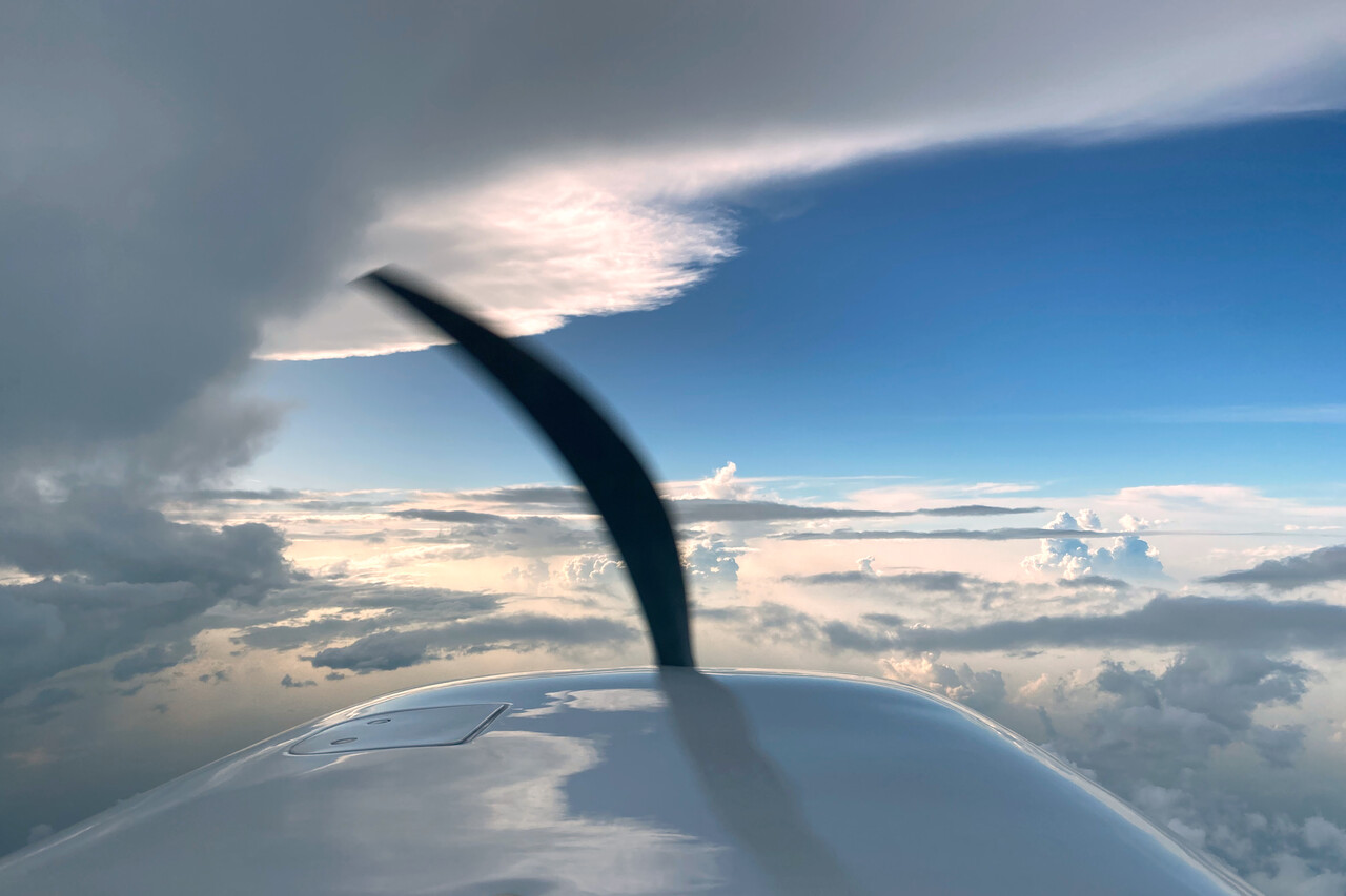
We still managed to be the first aircraft to leave WSSL that morning and got some nice views on departure. Some convection was forecast for the first part of the flight and we had chosen FL170 once again. We had to zigzag a few tall clouds over the Riau Archipelago but the remainder was easy-going. Unfortunately we were disappointed by the weather. We hadn’t expected much from Sumatra, it’s flat land where we flew, but Java would have been spectacular. However, Sumatra was so hazy, we almost couldn’t see the ground and Java was all covered in clouds. We enjoyed the flight regardless of that, we had dreamed of it for many months and it was an incredible feeling to contact ATC saying “Jakarta, selamat pagi, November two two eight Romeo Mike…” 😀 Indonesian ATC turned out to be very good and professional. They spoke very good English and gave shortcuts without asking. Surabaya is a busy airport but the approach controller did a very good job. He gave us just one little delay vector to the right and one to the left, but in the end it was almost a straight in.
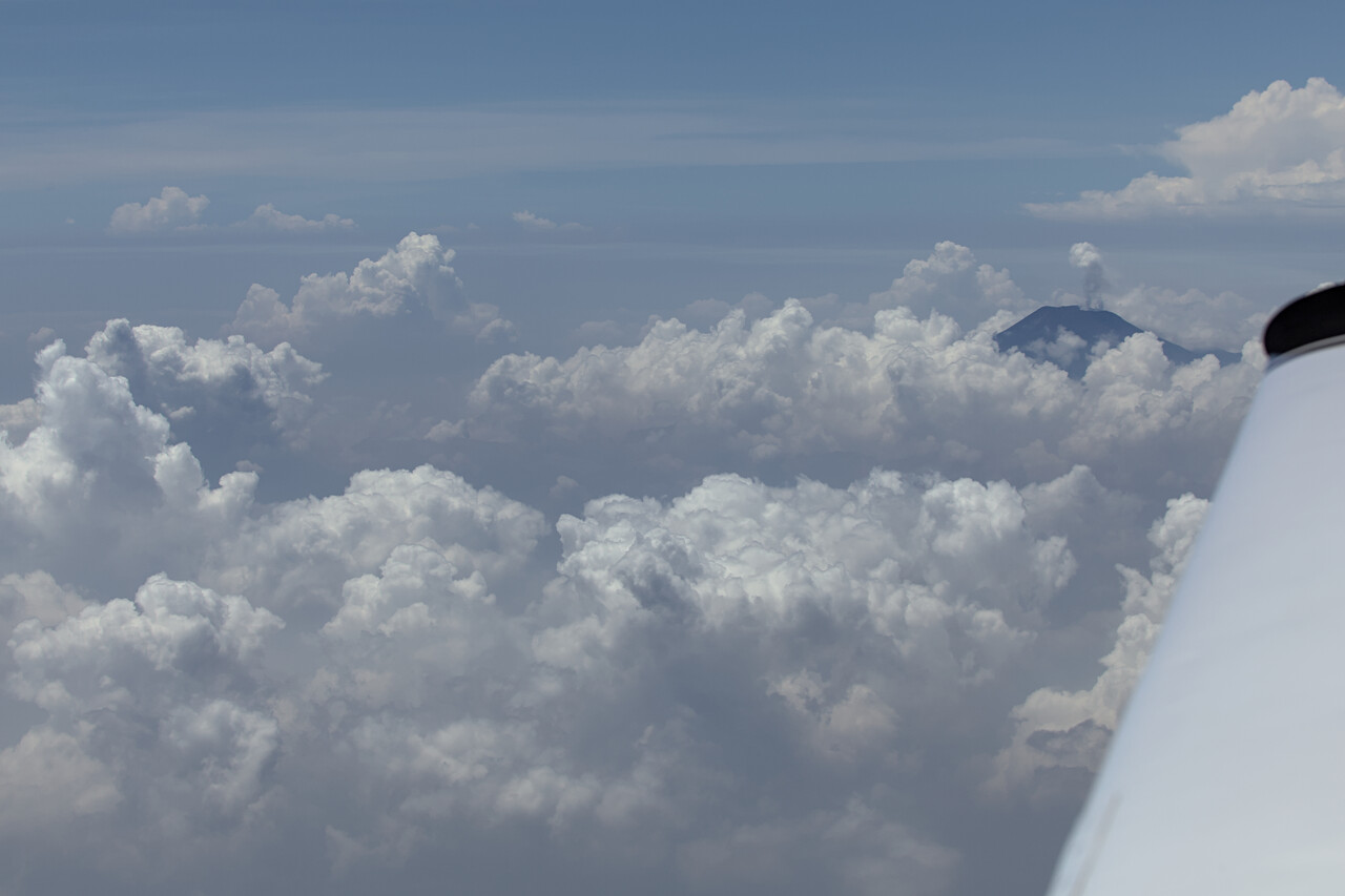
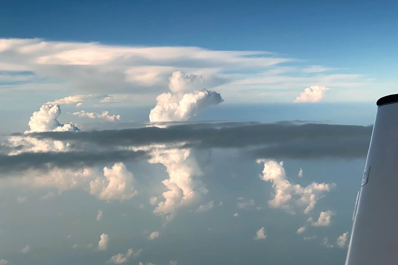
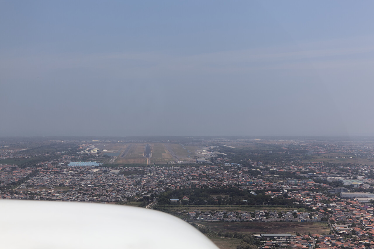
Three or four people took care of us after landing. A very nice and friendly lady apparently was in charge of the handling team that outnumbered the crew once again. After we had secured the aircraft they got us through C&I in no time and we were landside. There was nothing more to do as the fuel hadn’t arrived yet.
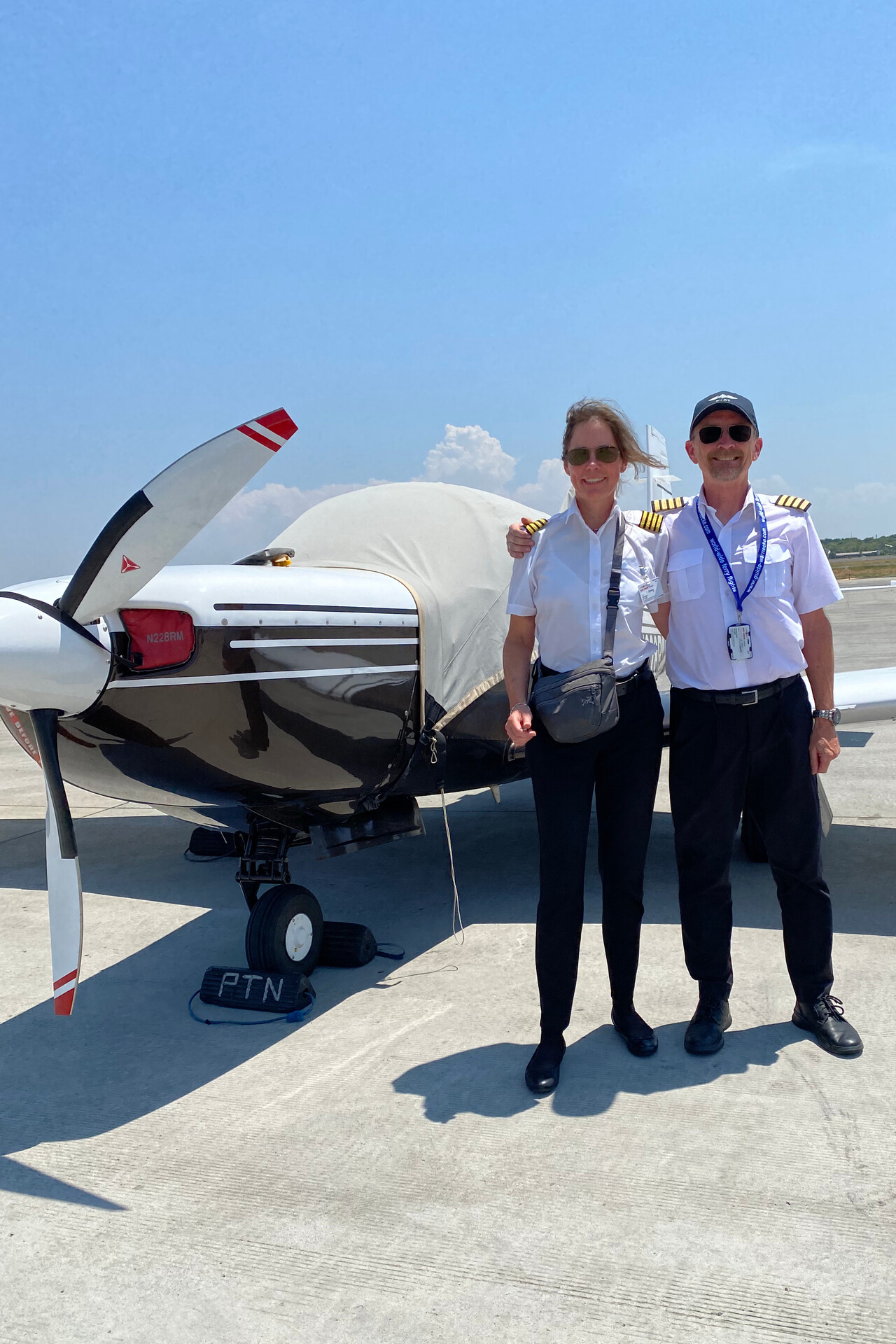
We had organized a rental car for a few days what wasn’t easy as they usually come with a sopir i.e. a driver what we didn’t want. Anyway, we had found one and it was delivered to the terminal in time.
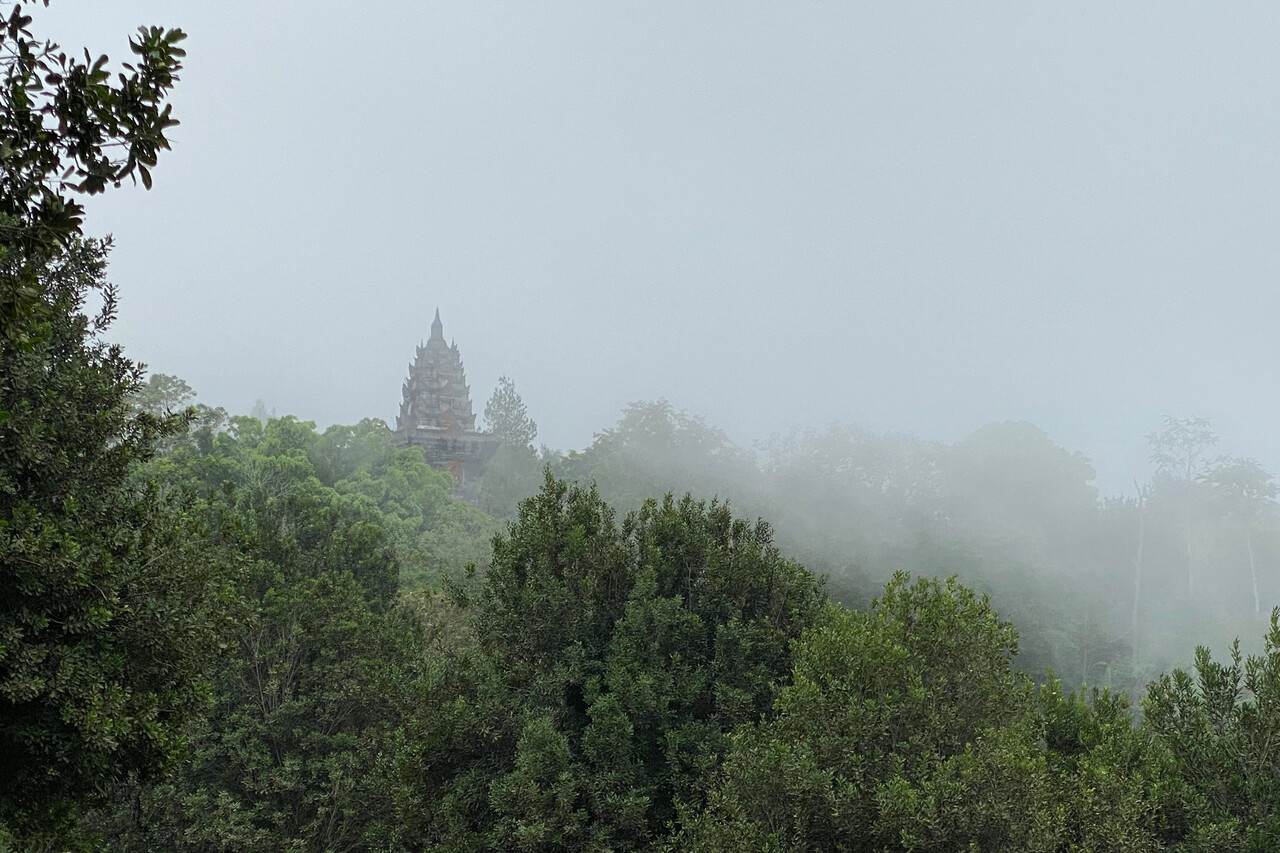
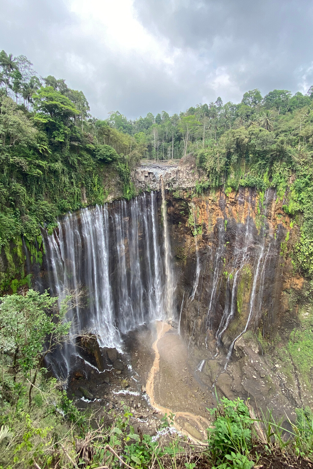
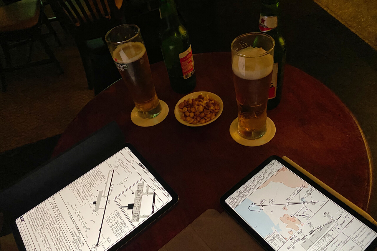
East Java isn’t as packed with tourist attractions as other parts of Indonesia, but there is one really famous site: Mount Bromo. The volcanic massif attracts visitors from all over the world for the spectacular views at sunrise and we had booked a hotel right at the crater while we were waiting for our car. It was almost dark when we arrived at our accommodation. We had our first Bintang (Indonesian beer) for many years to accompany our dinner and booked a Jeep to take us to the lookout very early the next morning.
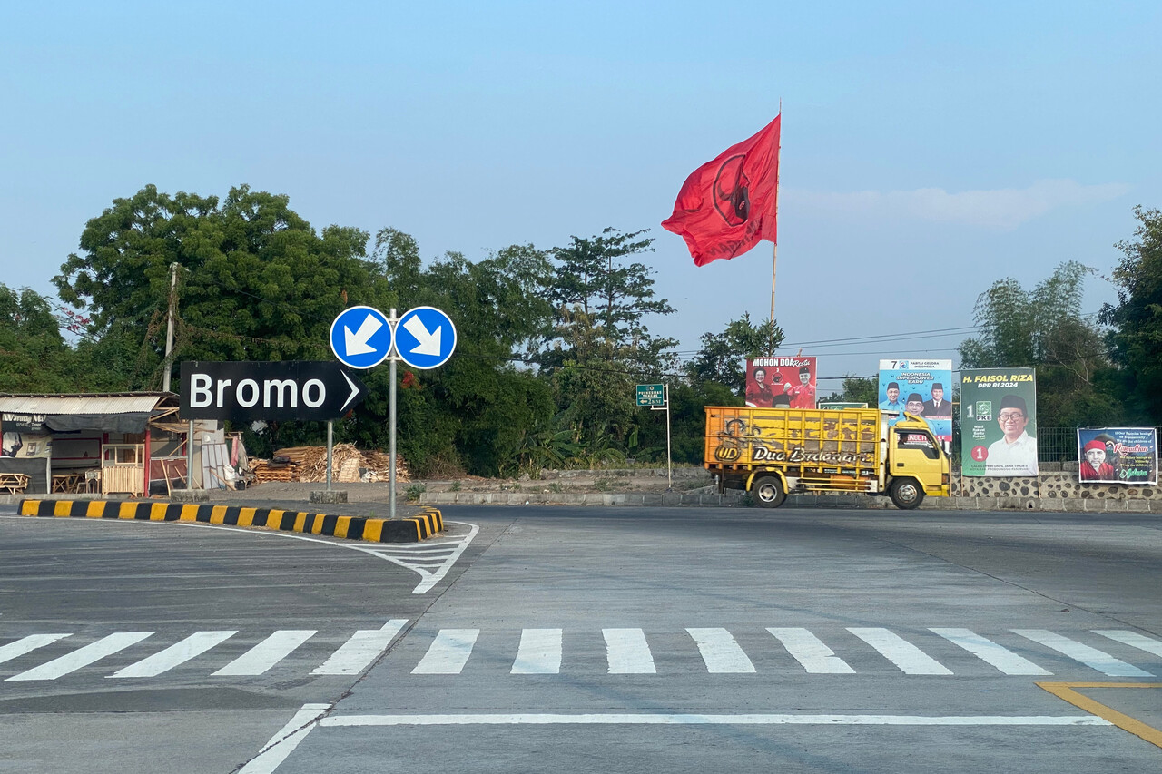
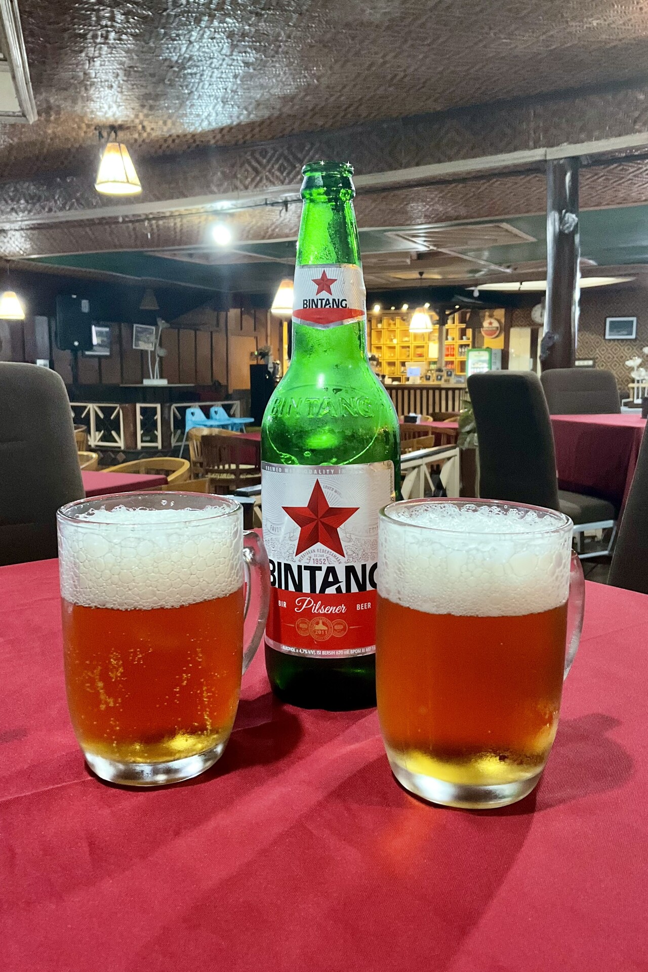
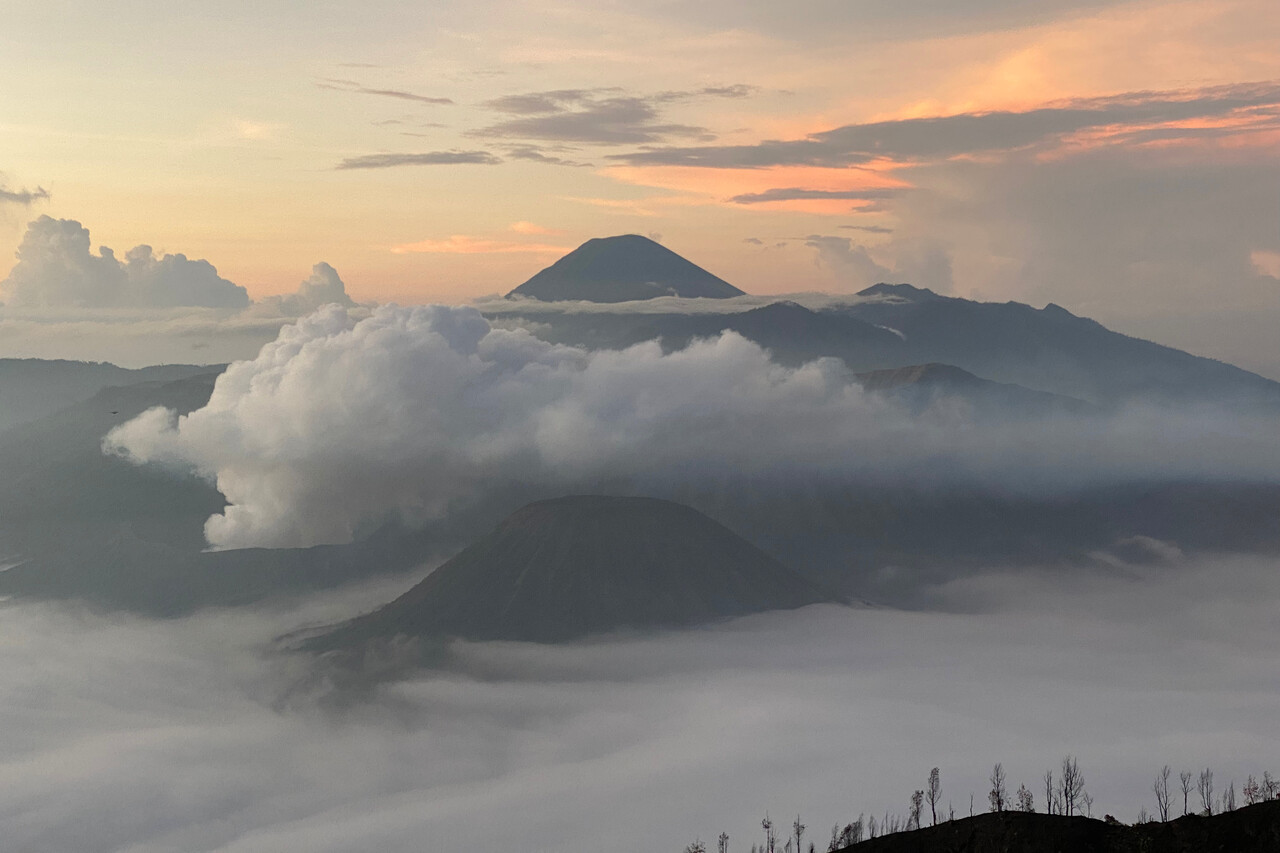
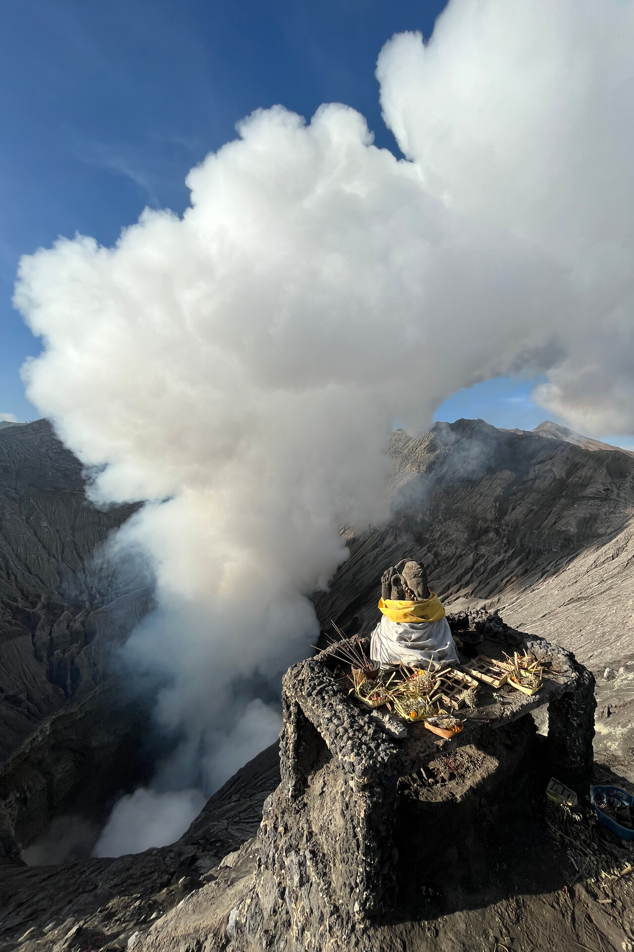
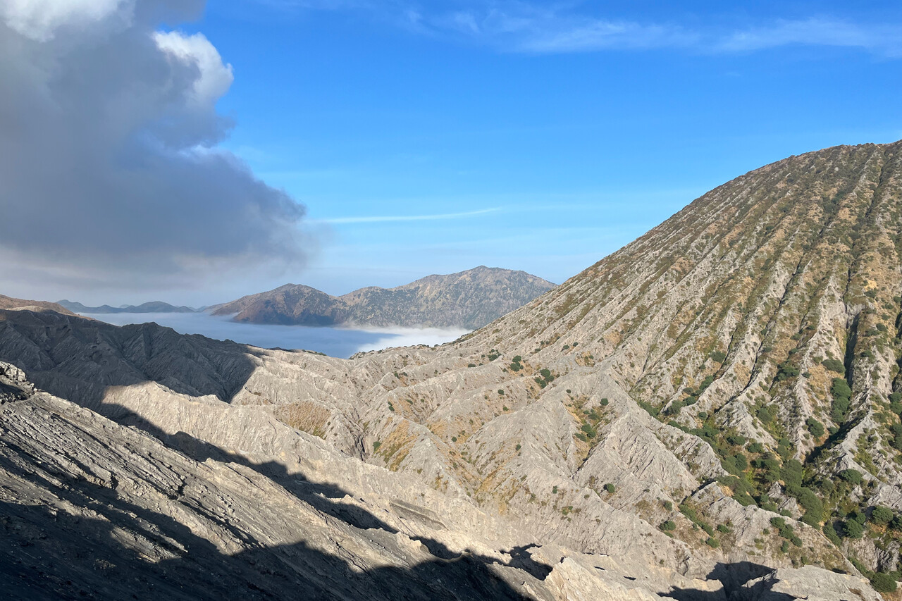
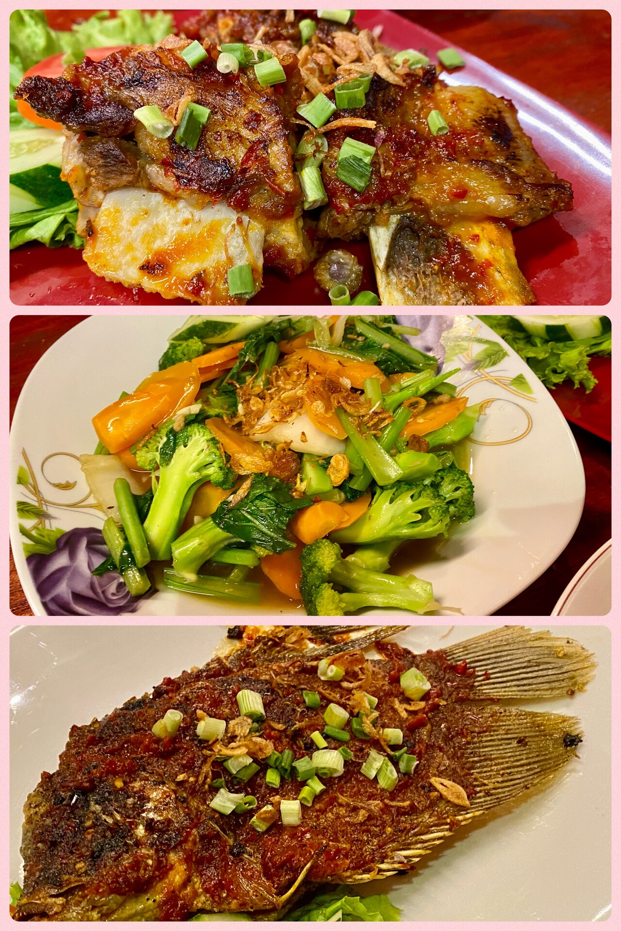
We had burned the main site on the first day, so we just drove around the huge Bromo massif in a large circle and enjoyed the Javanese countryside and the Indonesian food for a few days.
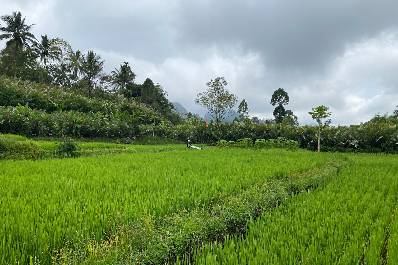
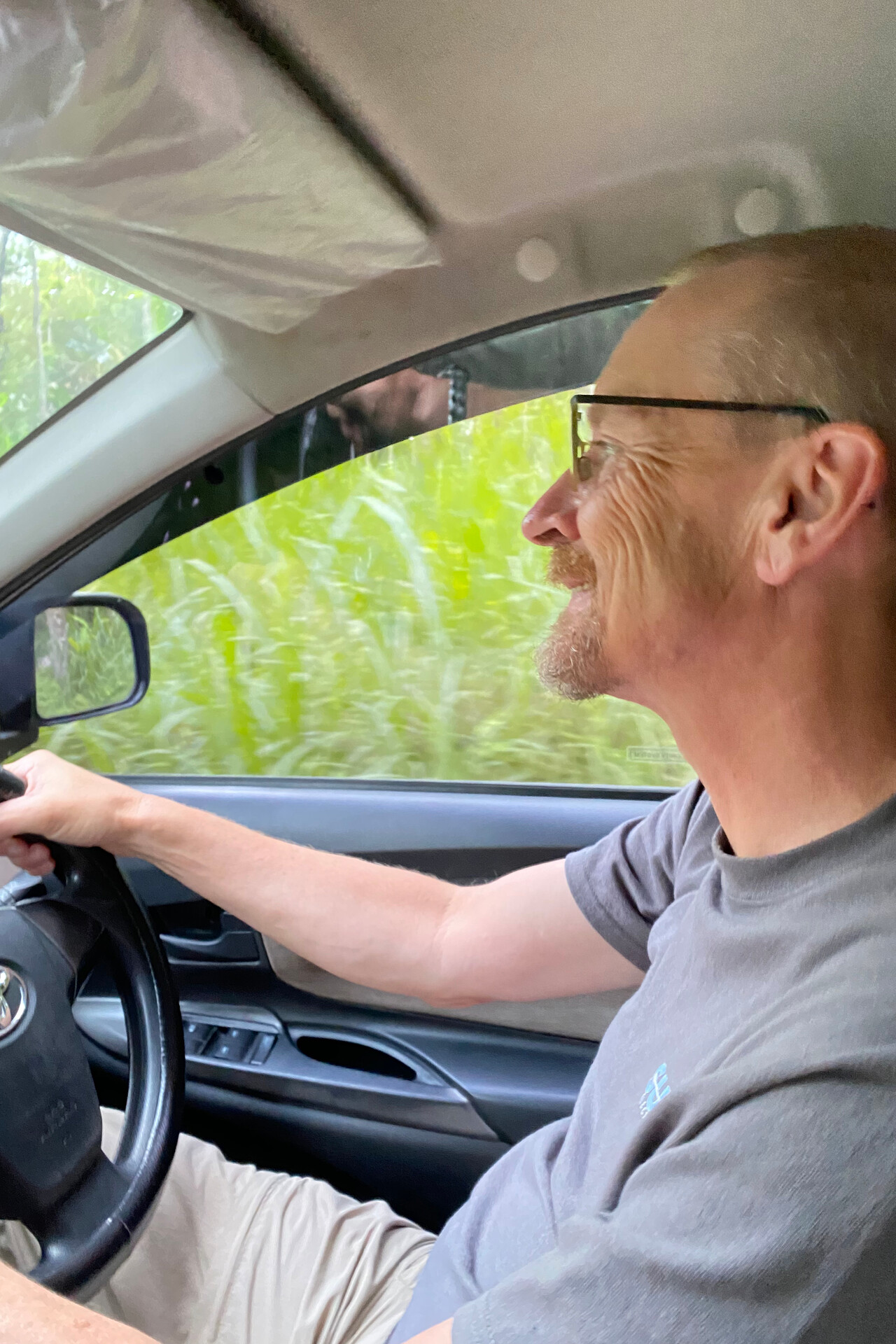
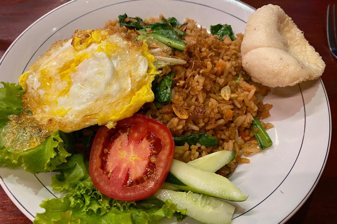
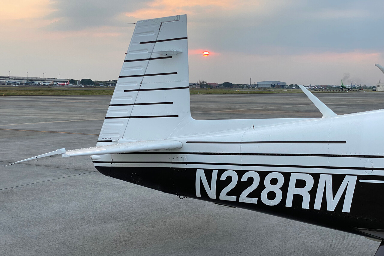
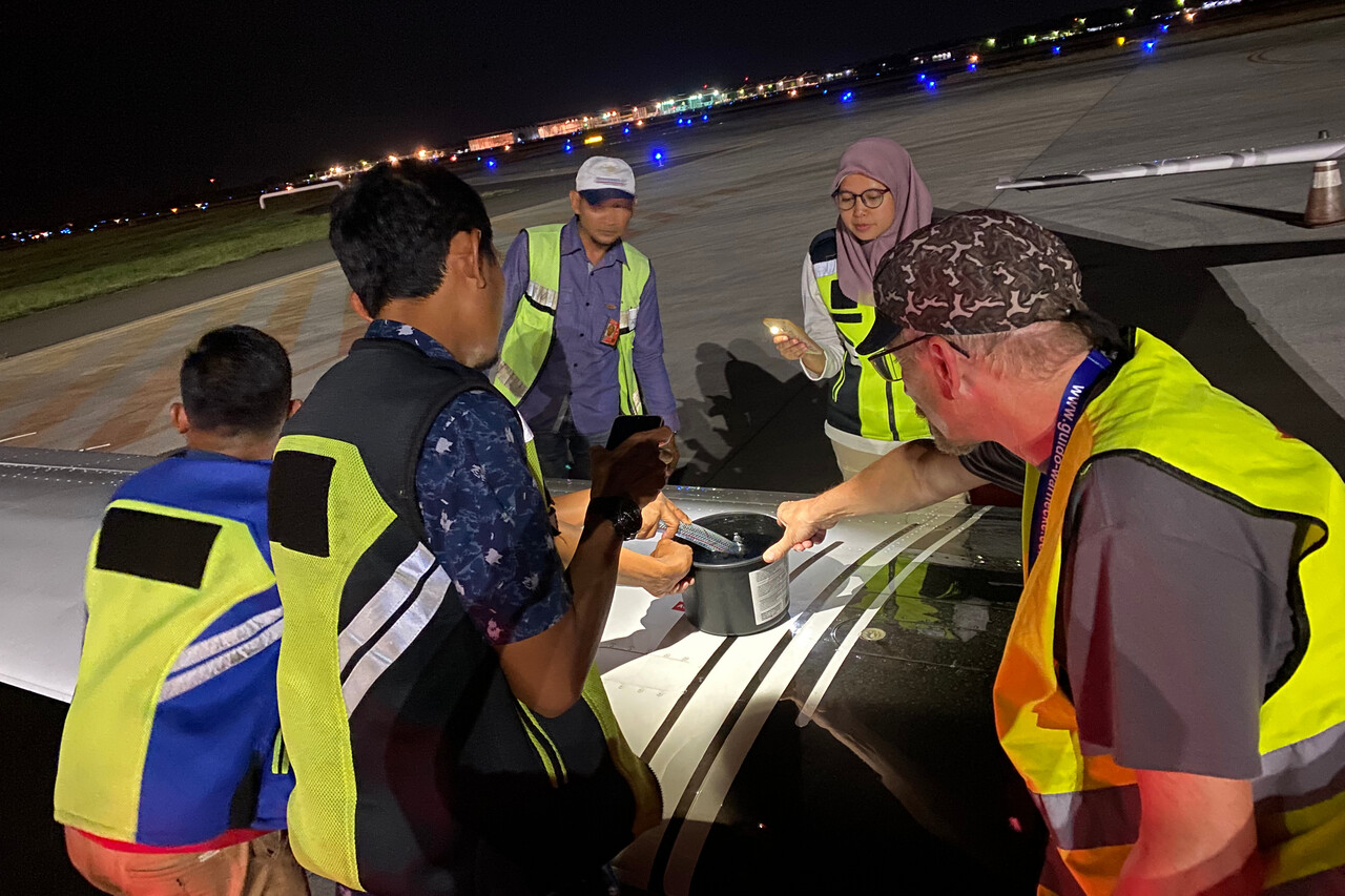
There was one more day of delay for the fuel to arrive but as seasoned visitors to Indonesia we weren’t too surprised or frustrated about that. We extended the rental car booking and returned it at the airport when the fuel was finally to arrive. Together with the handling people we waited at the aircraft and the truck driver sent photos via WhatsApp showing him stuck in traffic jams. He had picked up the fuel drums at the sea port, but interestingly nobody could tell where the fuel was coming from, not even the handler in Jakarta knew. We had ordered two drums, 200 liters each, as there is no fuel at WADL and it was a long way to Dili. As we have a capacity of only 400 liters in the Mooney, of course we couldn’t fit this in. At least we filled two jerry cans we had in the baggage compartment for this purpose, so we wasted only 60 or 70 liters. It was dark when we could finally refuel and already late when we arrived at our hotel in Surabaya.
To Lombok, WADL
The leg to Lombok promised nice views once again and this time we were lucky – the weather cooperated. It was the shortest flight of the journey so far, but it was delightful.
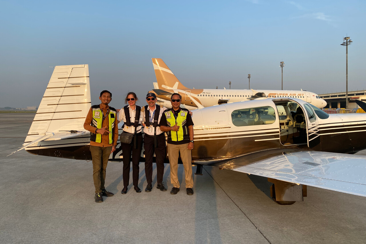
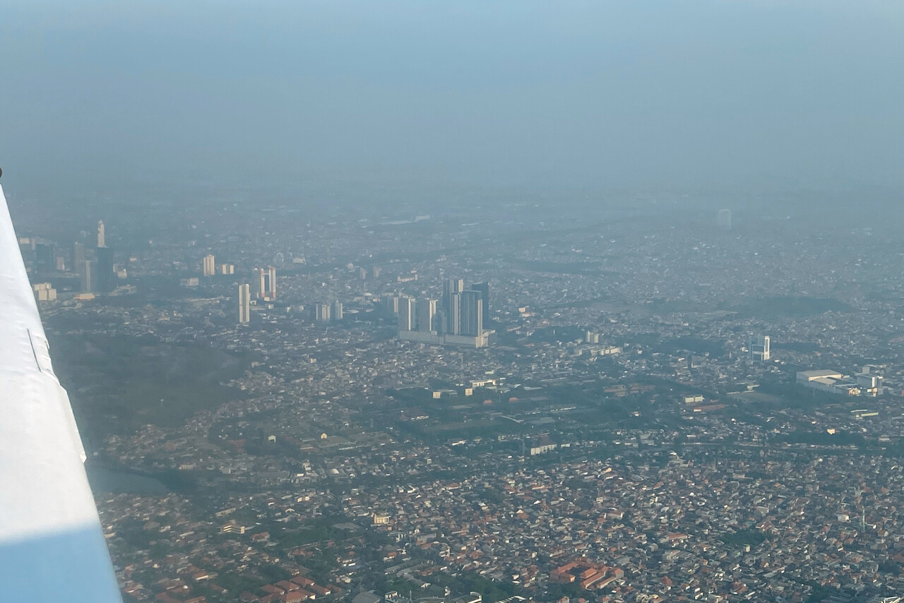
Handling worked fine as it did most of the time. The handling people picked us up in the domestic departure hall and had us airside in no time. We took a photo together and were airborne shortly after. We had spectacular views of East Java and Bali and didn’t care much that Lombok was obscured by showers.
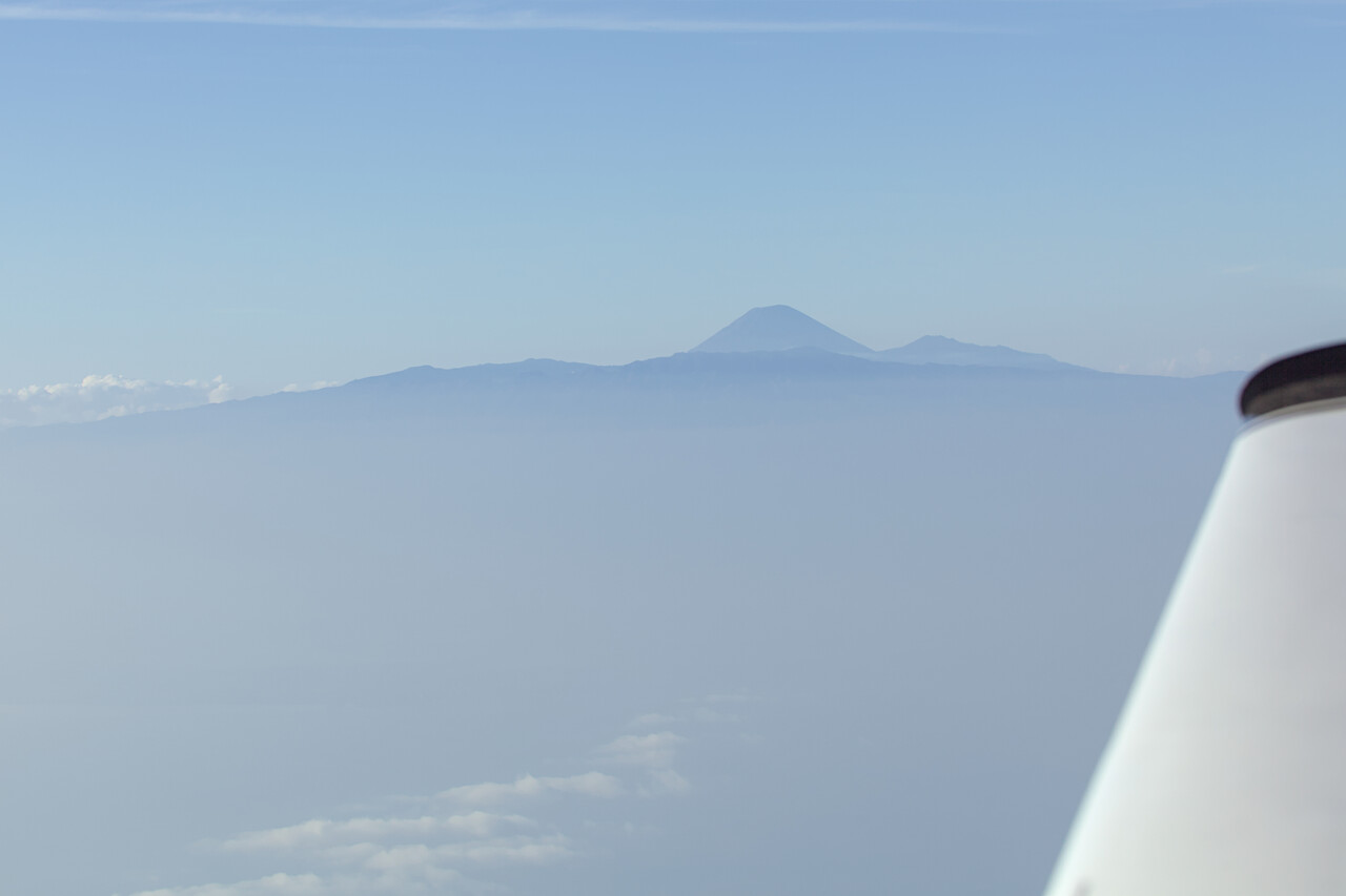
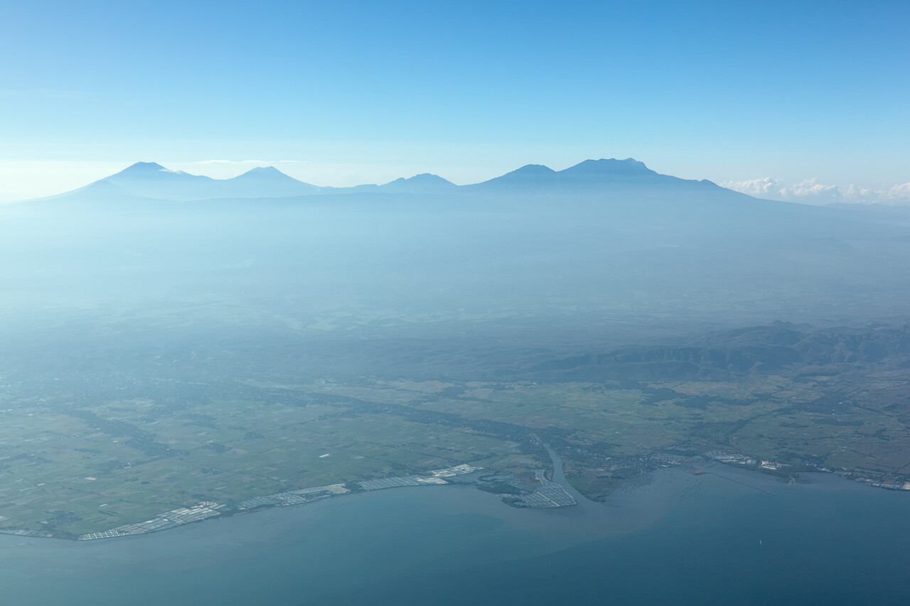
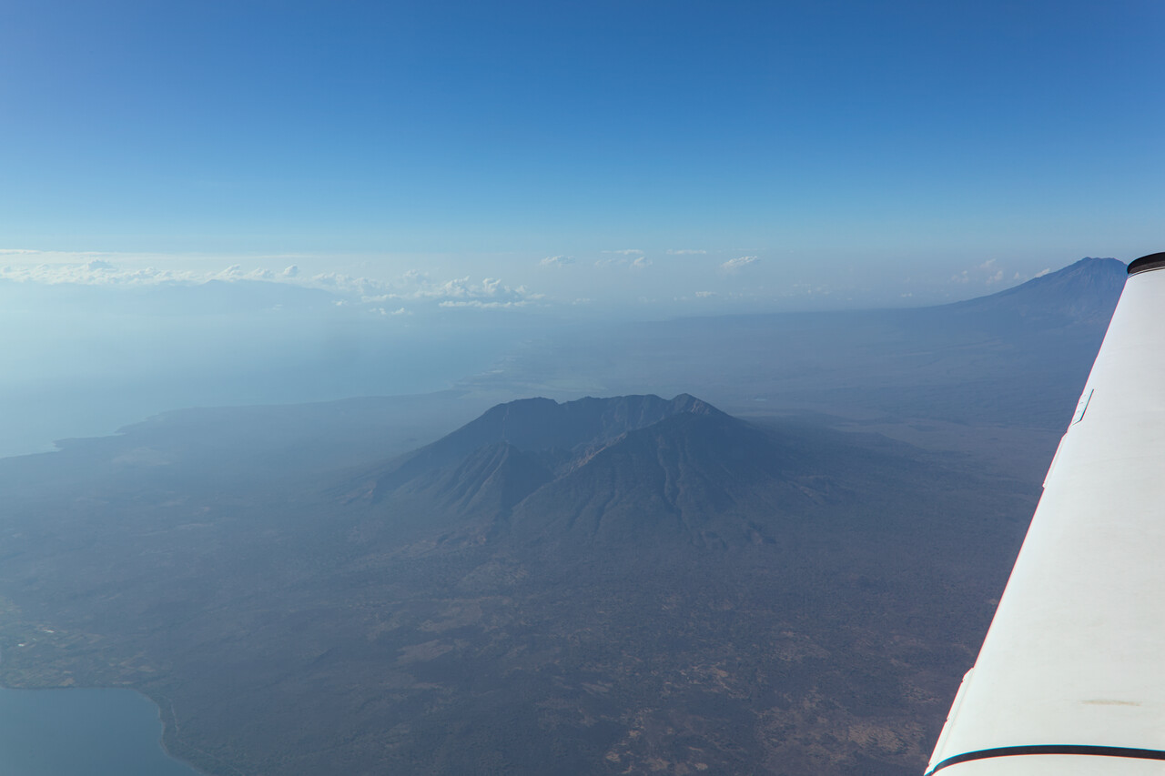
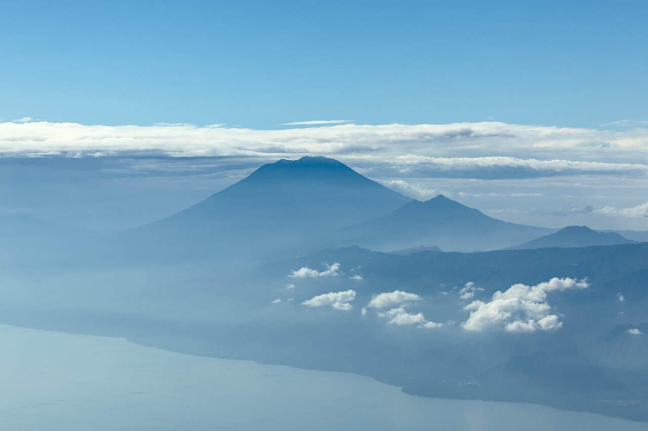
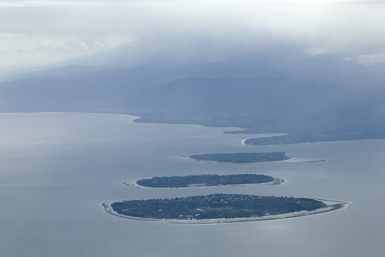
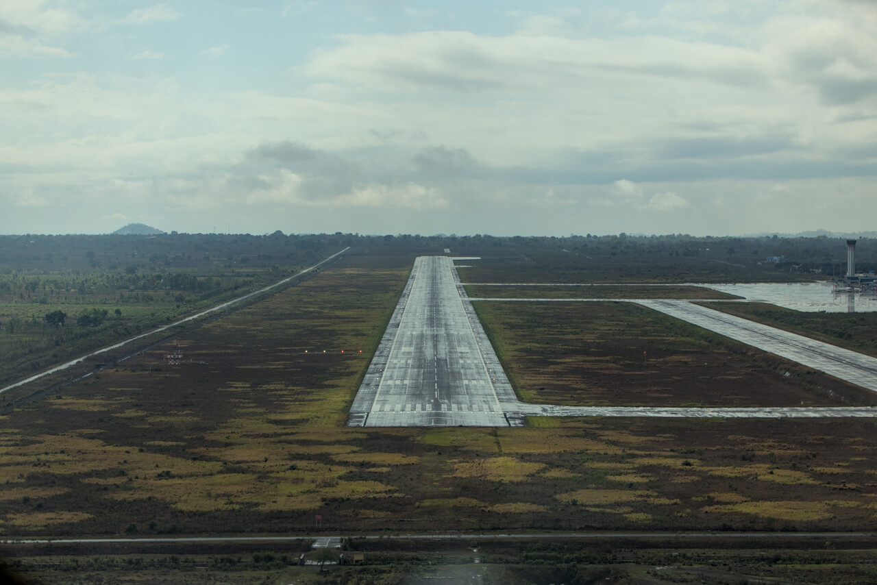
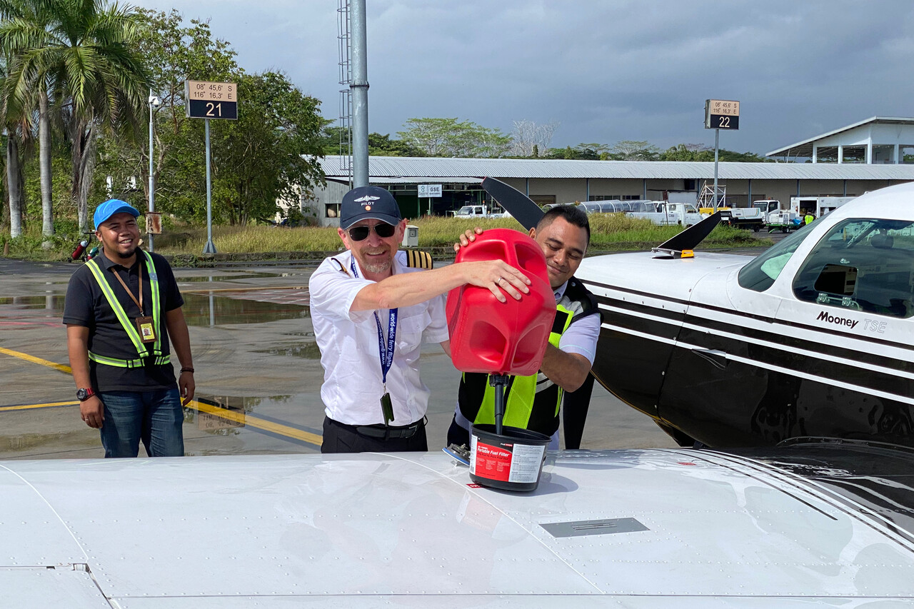
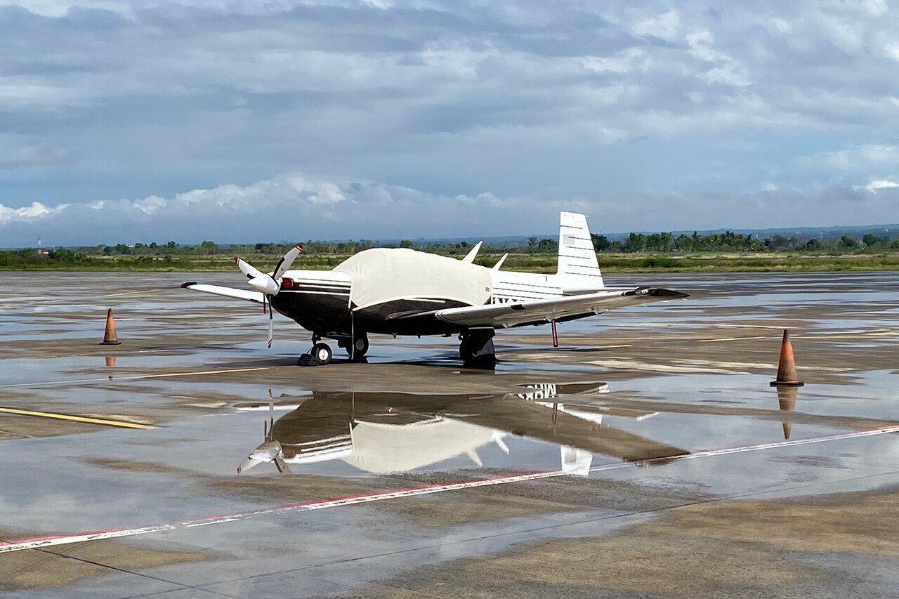
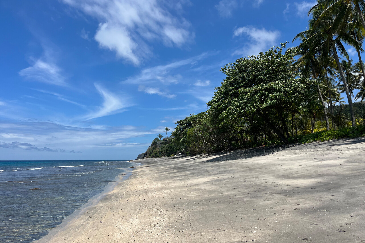
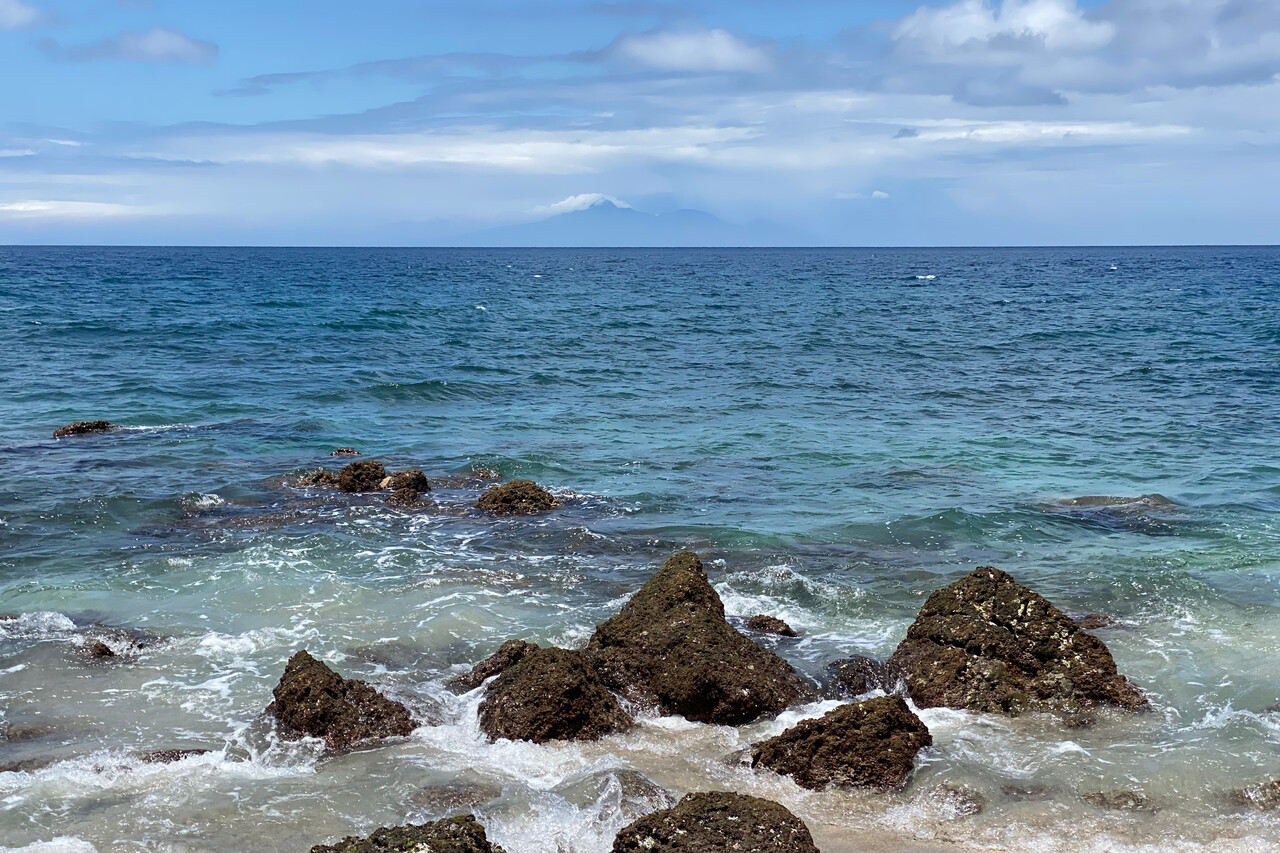
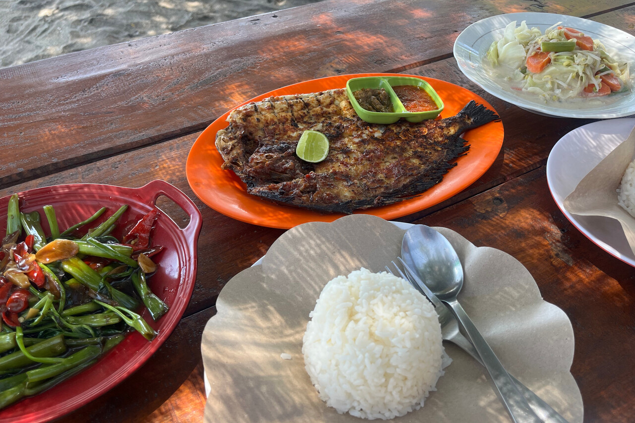
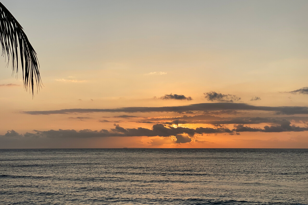
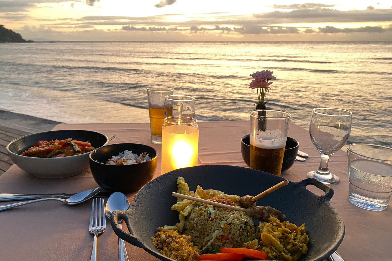
Unless we’re afraid of not getting a bed to sleep in for the night, we usually only book accommodation after landing. We did this in Lombok as well and opted for a resort in the holiday makers’ area of Senggigi. It was really nice and we spent one and a half relaxing days on the beach.
To Dili, WPDL
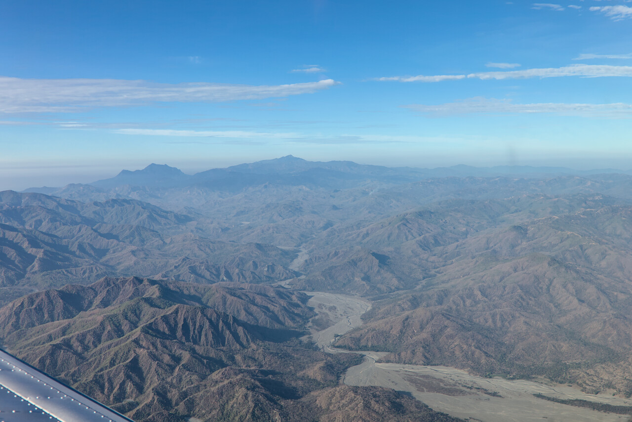
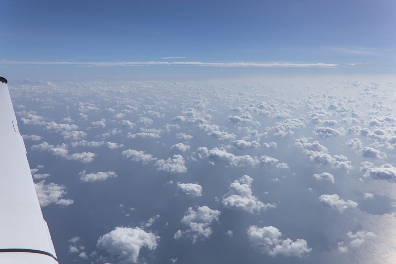
Leaving Indonesia at WADL wasn’t that good of an experience. We had overstayed the time that is actually allowed on for air crew on GENDEC. We had anticipated the issue and had asked several times when we arrived in Surabaya but were told it won’t be a problem. It was in Lombok, however. All bargaining by us and the handling guys didn’t help, we had to pay 120 US each for this. I thought it was some sort of collusion at first, but I think it wasn’t. It was all officially documented and we got receipts with official stamps on. Of course we were upset but we were compensated by the following flight. It took us all along Nusa Tenggara in the best of weather.
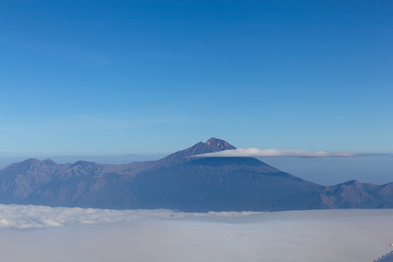
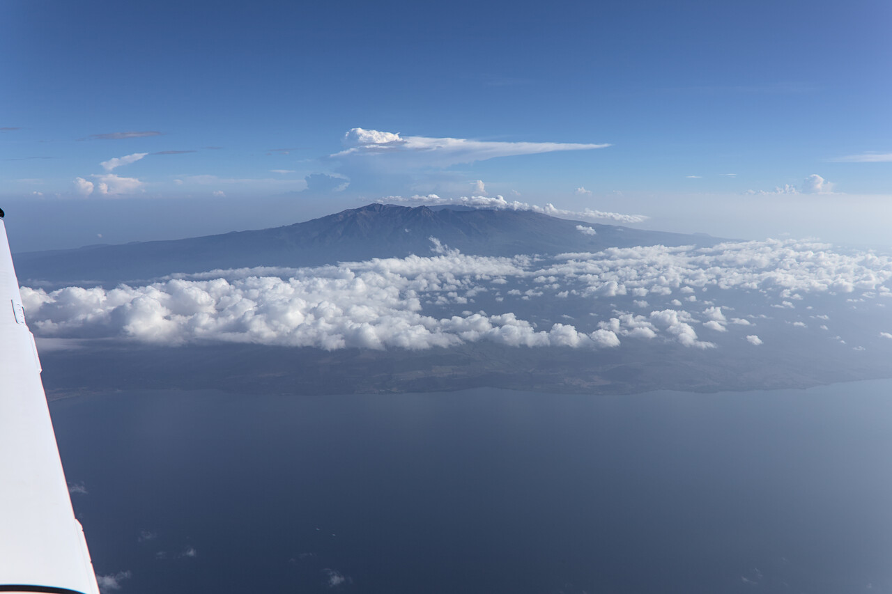
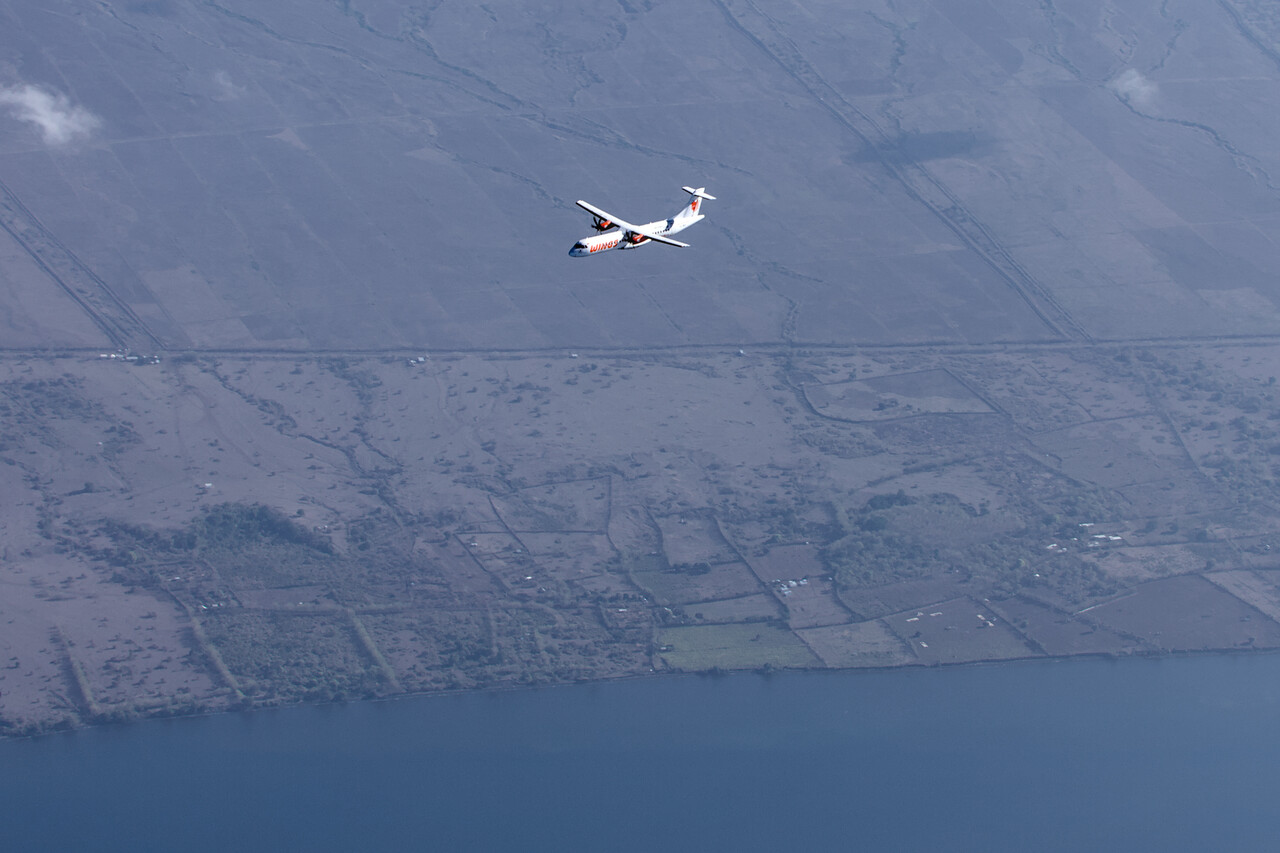
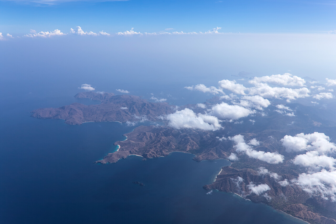
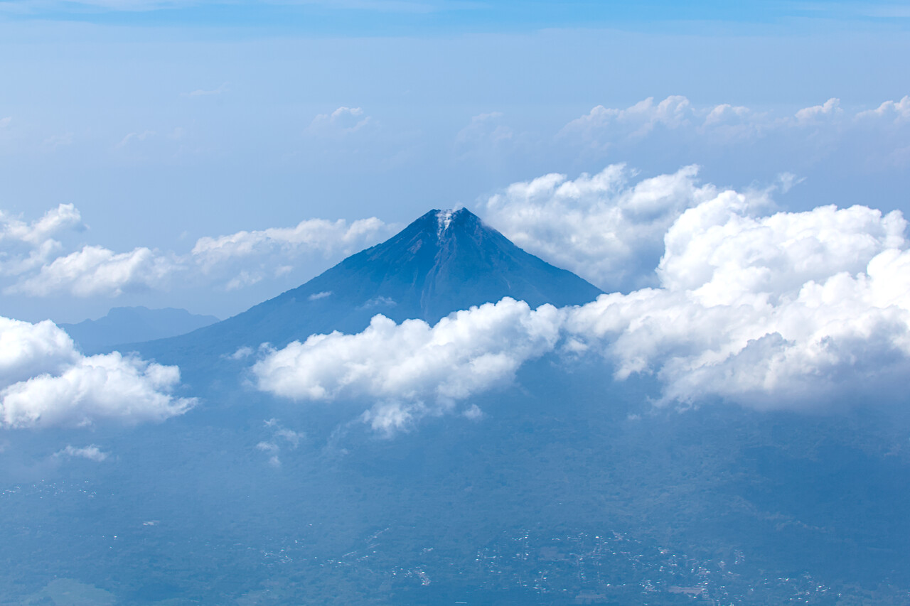
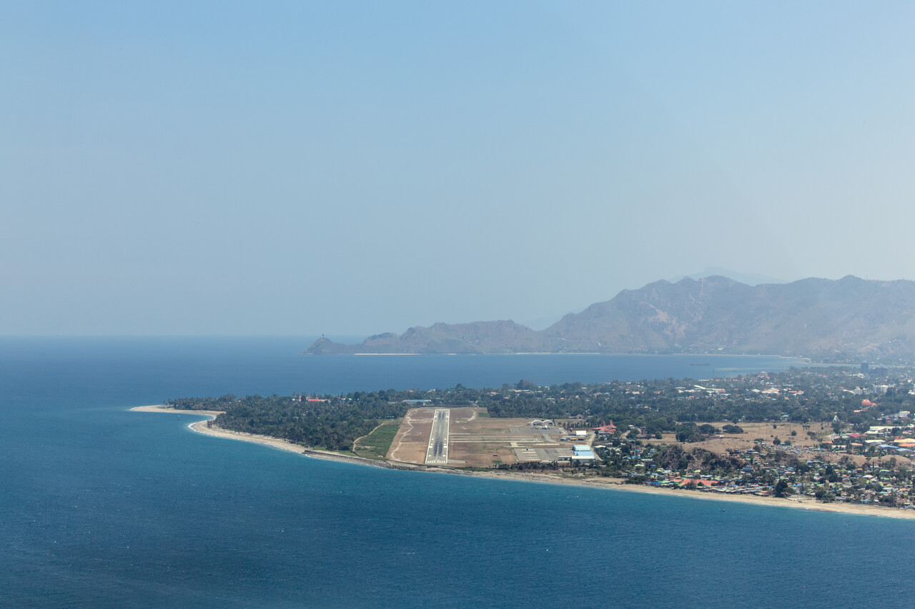
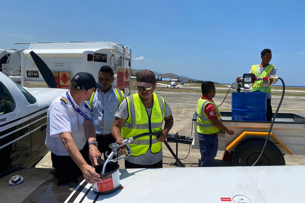
After our arrival at WPDL we immediately refueled as we always try to do, but it turned out to not be the most professional affair. They brought the drum on a single axle trailer which they detached from the truck and maneuvered by hand once near the aircraft. Two of the guys climbed up and started moving the drum when the trailer toppled over. The two guys fell down and one other was even trapped under the trailer with Avgas spilling out of the drum on him. Miraculously nobody was seriously injured and the plane wasn’t damaged either. It seemed as if it was the first little Avgas plane they tried to refuel. I found this really strange, as there are apparently a few SEPs based in Dili. Maybe the guys usually in charge had a day off.
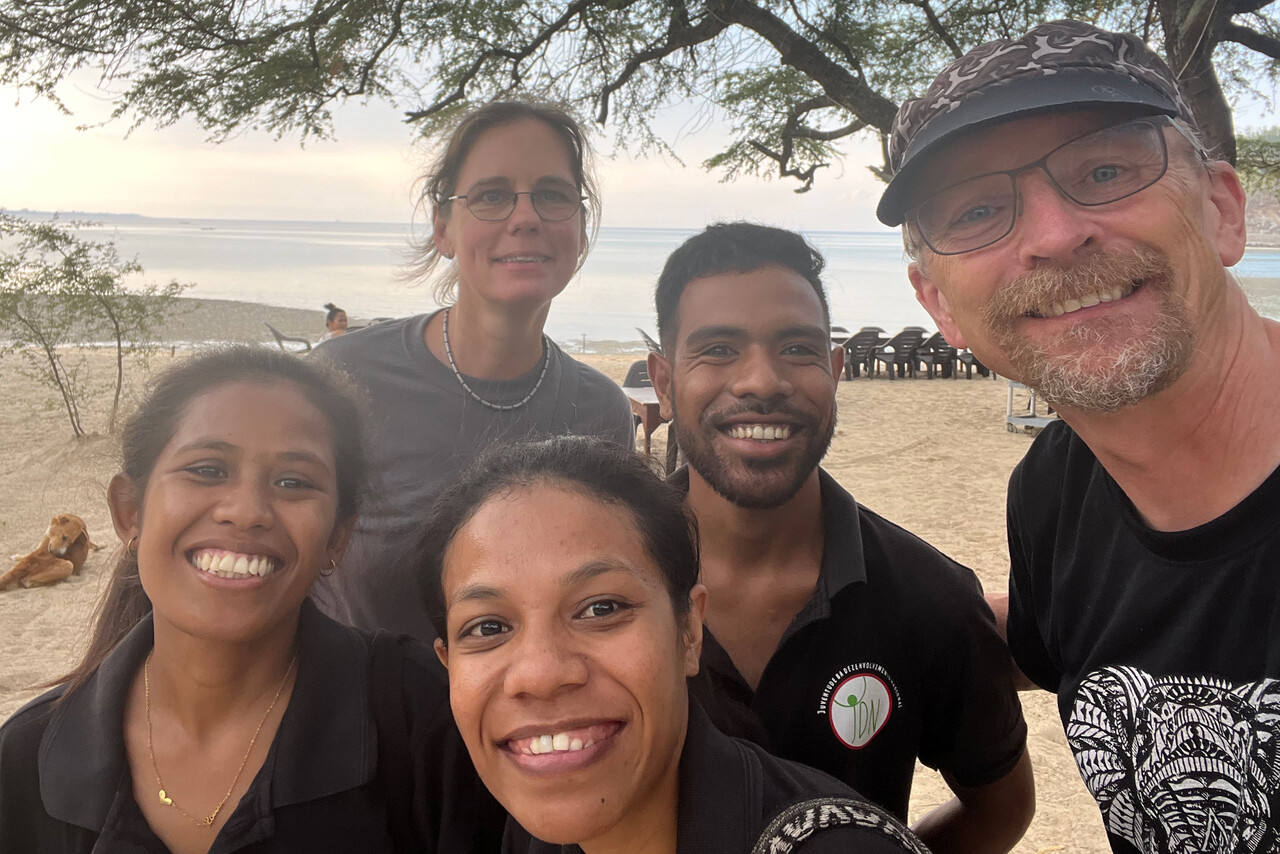
East Timor was occupied by Indonesia when the Portuguese left in the early 70s. The independence movement was suppressed violently by the Indonesians and the massacres that happened are still very much present in the minds of the East Timorese. We stayed two nights in Dili and had booked a tour to see a little bit of the town and how it has changed – we had been there long ago, when it was still occupied. Our guides were two lovely and really funny girls. Actually we didn’t learn much what was new to us but we had an afternoon of great fun together.
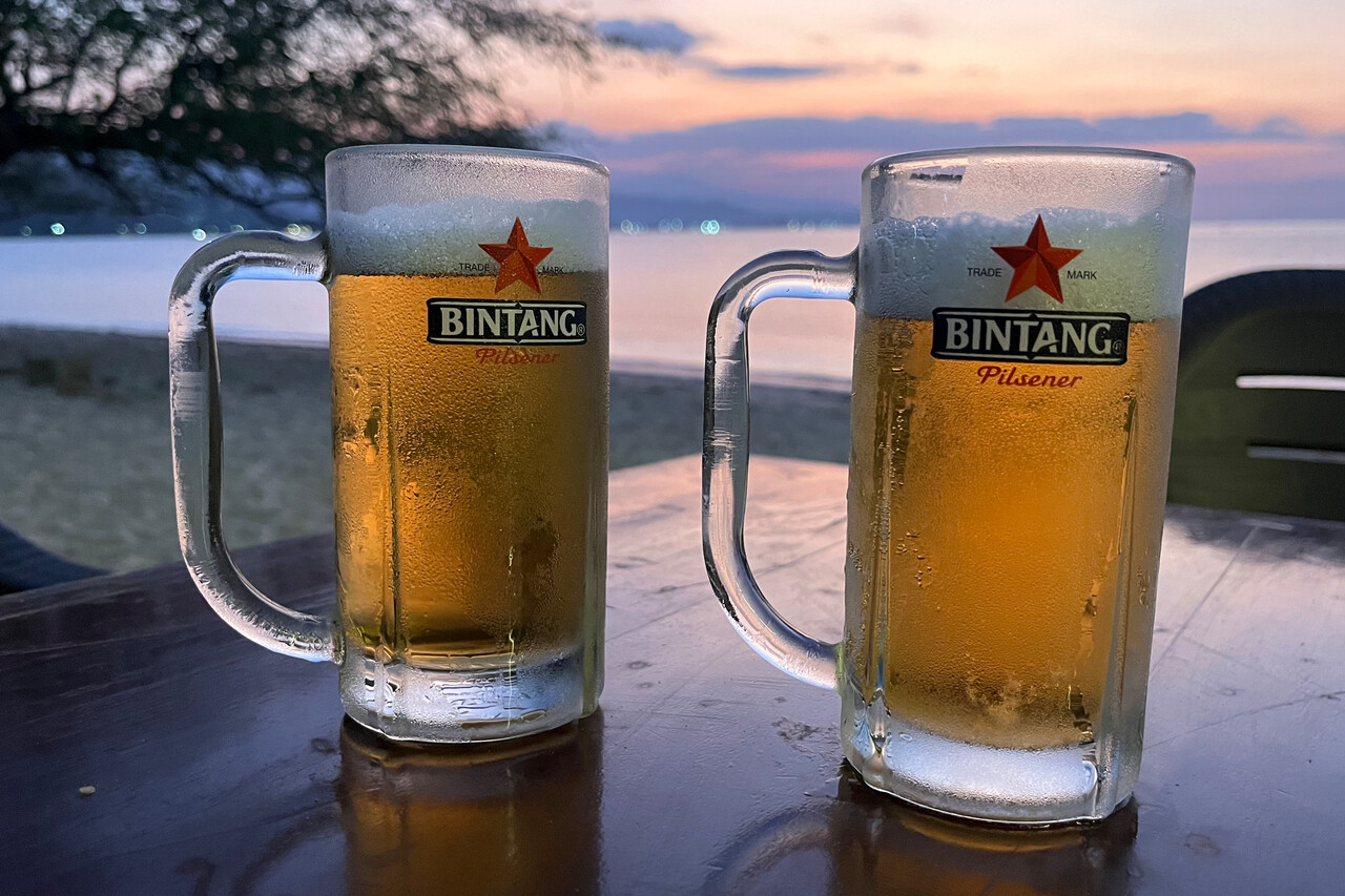
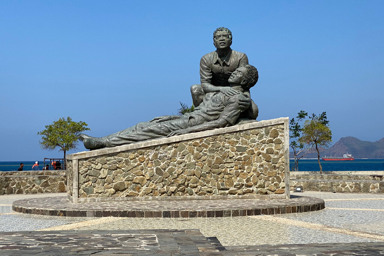
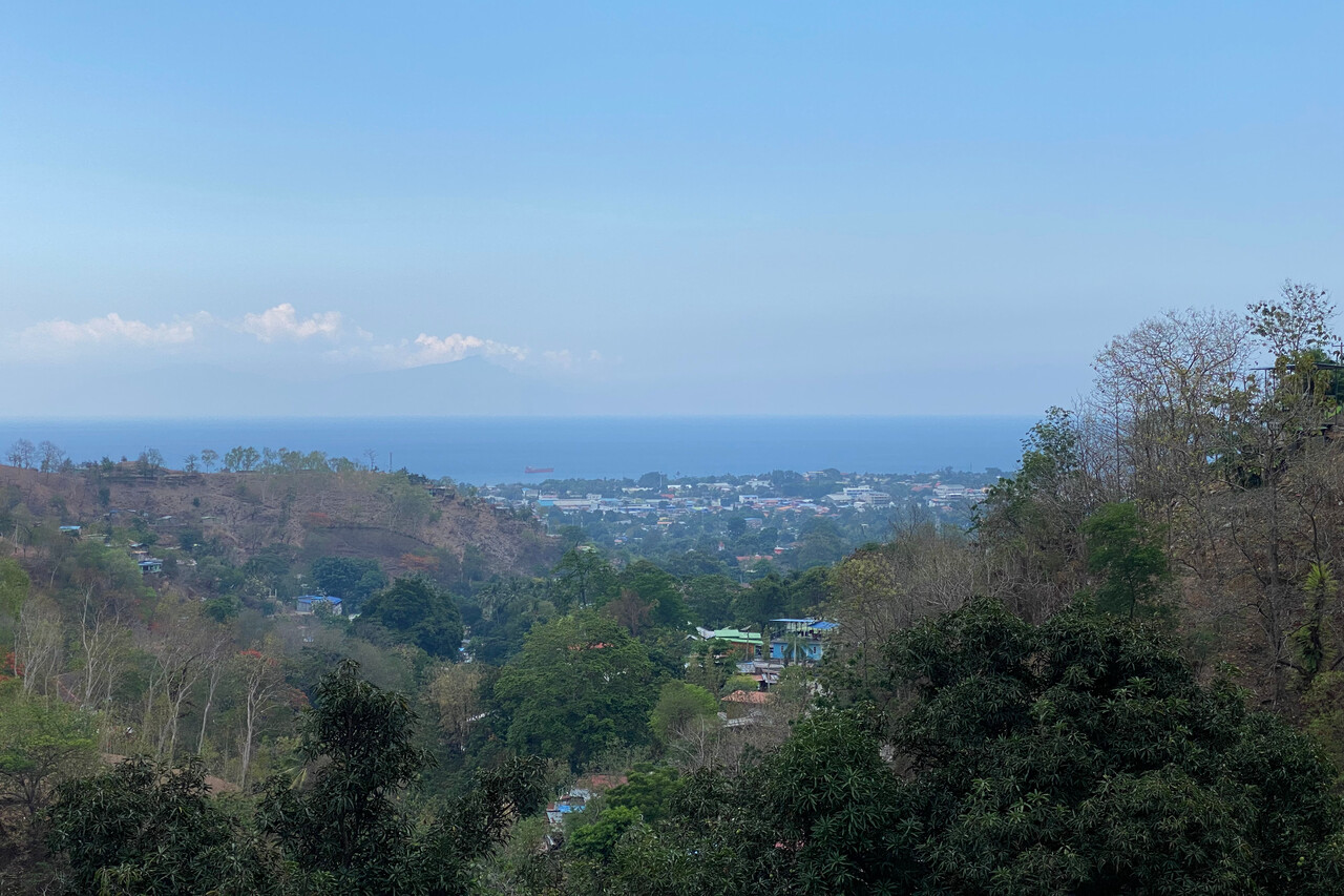
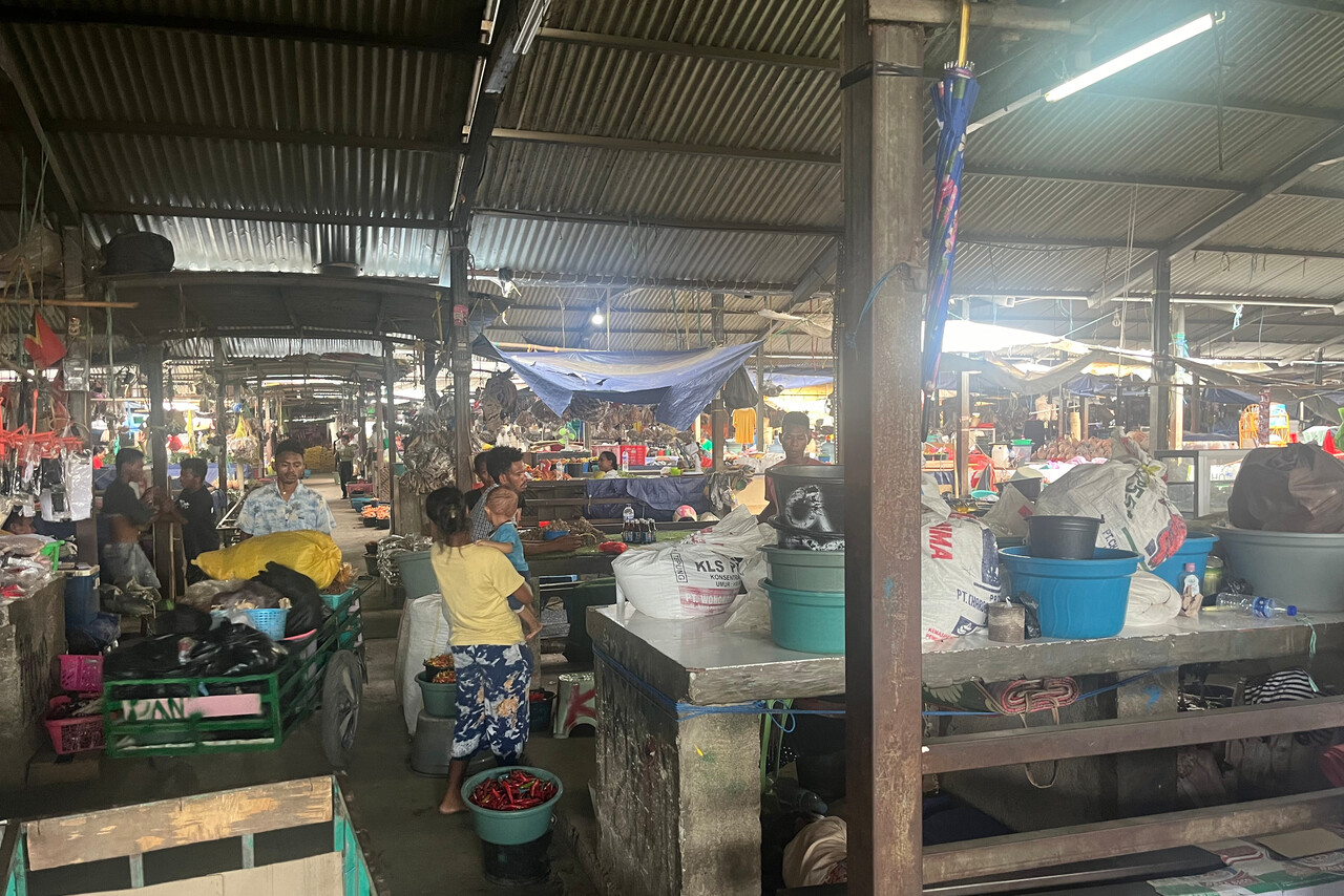
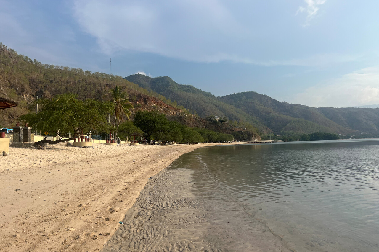
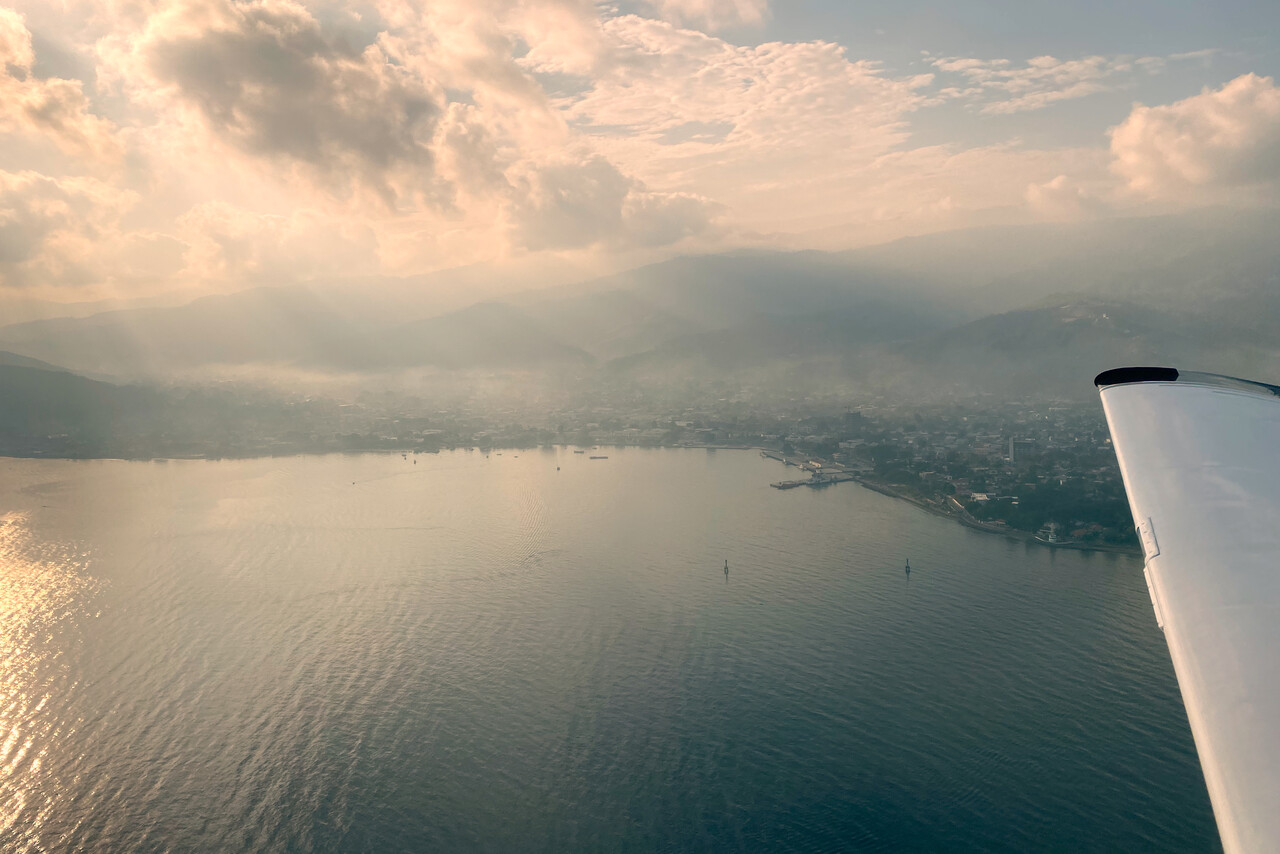
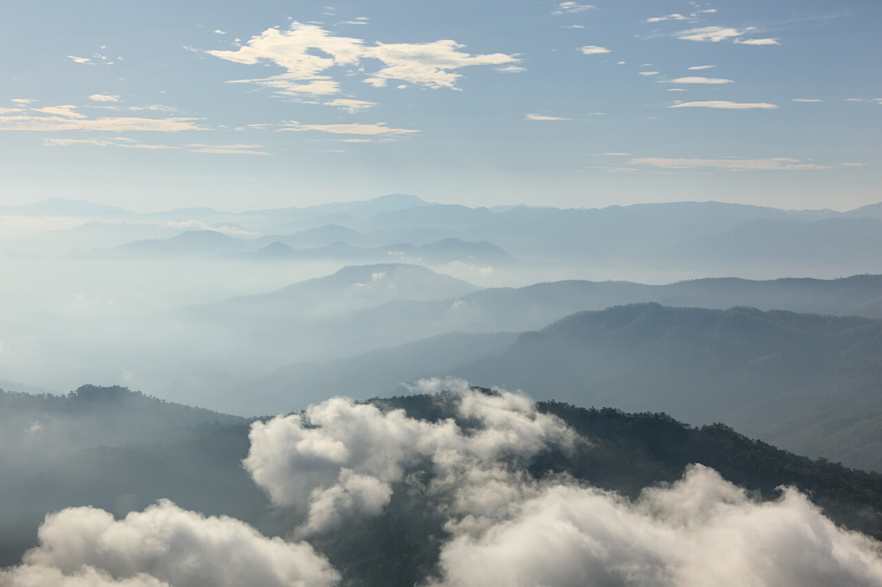
Unlike refueling, leaving East Timor was a pleasant experience. C&I aren’t present before seven local but we knew that in advance. They stamped our passports at seven sharp and we were allowed to walk over to our aircraft without any fuss. We were airborne less than half an hour later, again in the best of conditions.
Flying in a Land Down Under
Australia is a laid-back country full of friendly and relaxed people. The hospitality of the locals is legendary, they will bend backwards to help you and just say no worries, mate. This is a cliché, but in fact we were treated like this down there. It’s rare to find the friendliness of people you meet down under in everyday life – of waitresses, hotel staff, shop tenders or whatever – anywhere in Europe. Still this is nothing compared to how nice and generous we have been treated by fellow Mooney pilots in Oz.
Unfortunately Australian authorities are not as relaxed with their rules and regulations. We had already been warned by a fellow pilot that “Australian aviation bureaucracy is some of the worst in the free world”. I’m not sure how much truth is in this but at least the local CAA, CASA can keep up with the European EASA and the German LBA when stupid rules have to be made up. And some airfield regulations rival the nuisances GA pilots complain about in the UK. We managed our expectations accordingly, and to our great relief not everything was handled as strictly as we had feared.
Arriving in Australia
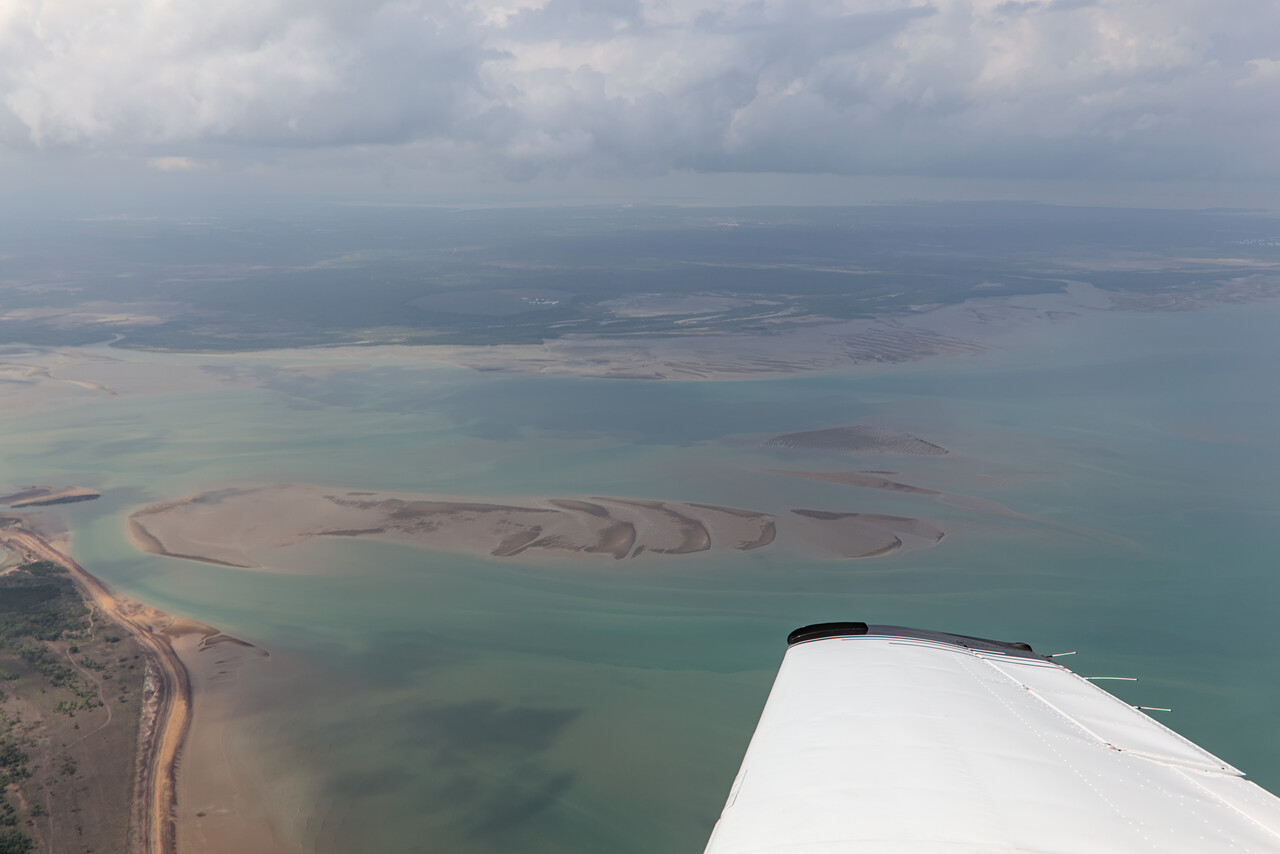
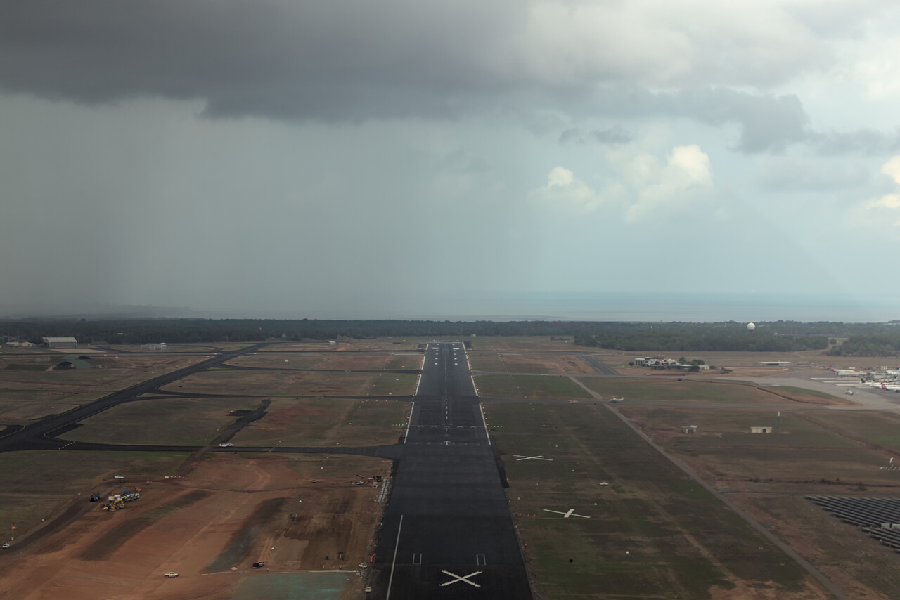
While we enjoyed the beautiful weather during our crossing of the Timor Sea, there were showers all around when we reached Darwin. We were on an IFR flight plan for the last time for a while but ATC at Darwin, YPDN seemed to be used to small aircraft. They vectored us to a clear area and offered us a visual approach from there.
Although it’s not mandatory, we had contracted handling for our arrival at YPDN and it was a good idea to do so. Like in the USA C&I require you to taxi to a designated area and park in a marked rectangle. You have to stay inside the aircraft until they clear you out. Moreover, Australia is very strict about not bringing any pests into the country. No unpackaged foodstuff is allowed and the aircraft has to be disinsected. All this is documented in the AIP but with references to countless regulations and therefore having someone knowledgeable organizing all this is of tremendous help.
We worked with Rob of Jet Aviation and can highly recommend his service. He sent us all the required forms, including a ‘Disinsection Certificate’ with instructions how to do it. We had already bought appropriate spray back in Germany and learned that we had to use it prior to departure in Dili. We even caught the process on camera.
On the ground everything was much more relaxed than we had expected. We taxied to the designated area where our agent waited with two officers. We had to hand over the empty spray can through the pilot’s window and were allowed to leave the aircraft. We eagerly declared that we had some packaged coffee and tea but were just told that that was OK. We showed our passports and as we had applied for visas electronically, no stamps were required. We were good to go after five minutes. We taxied to parking in a terrible shower, secured our aircraft and took an Uber to town.
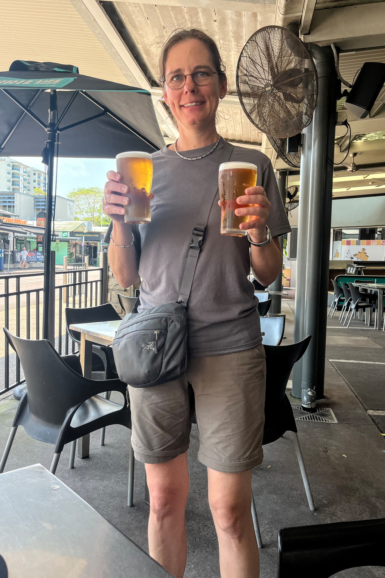
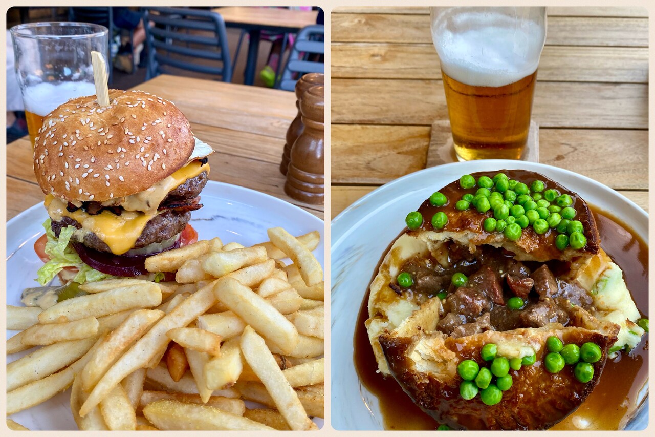
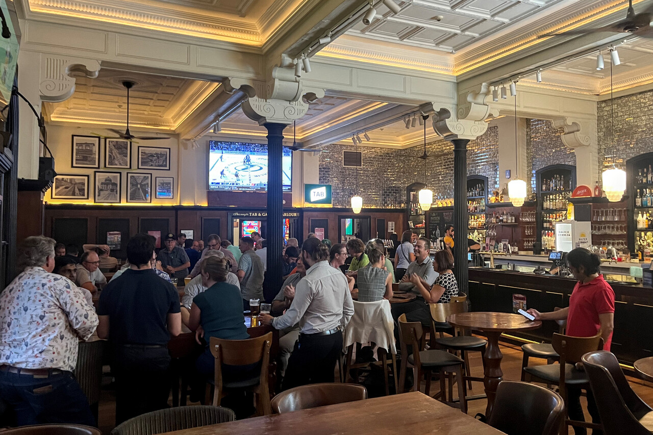
Australia’s British heritage is more or less obvious in different aspects, but it is very obvious when it comes to pubs. Drinks and meals are sold over the counter like in the UK. We had arrived at the sixth continent with our Mooney and we celebrated that with a beer at the pub.
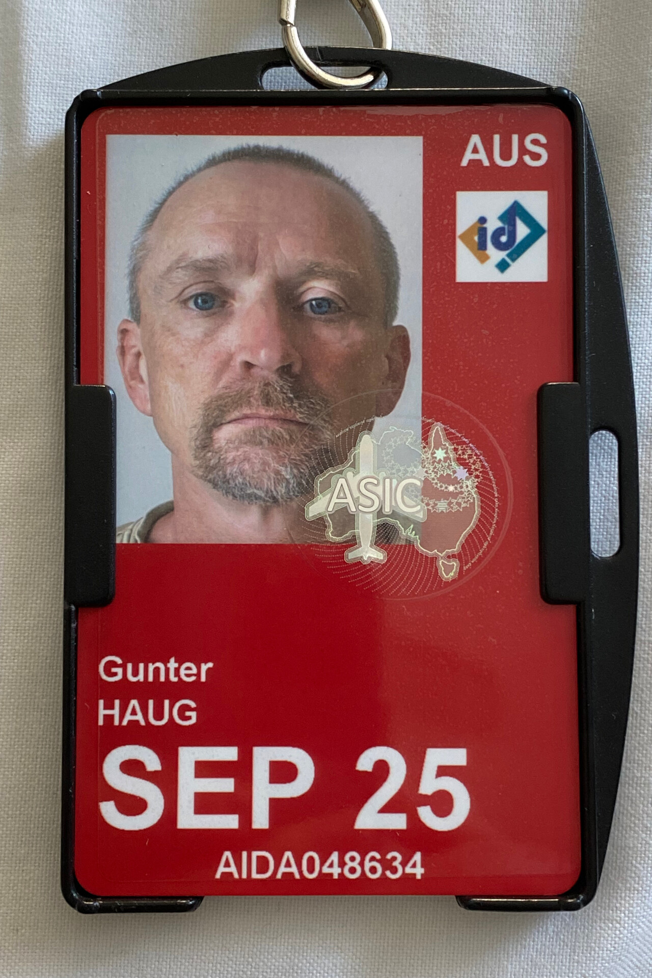
The ASIC Card
One nuisance that makes flying in Australia really difficult for foreigners is the requirement of an ‘ASIC’ card. You are required to have this card and display it at all security controlled aerodromes, which most are. To get it, a background check has to be performed and we initiated this well in advance. CASA has outsourced this process to several private outfits you can choose from. We got in contact with these agencies months in advance but it turned out to be difficult for them to understand our case. Most other pilots apparently want to rent Australian registered planes and therefore need a validation of their license. It was hard to explain that we needed an ASIC card but no validation. Anyway, after a lot of back and forth, we found an agency that was able to help us. They did the background check before we arrived in Australia. However, they would only print the card after an identity check was done on Australian ground. This could be done with one of their partners, which was an FBO at Darwin airport.
We did the identity check immediately after arrival. It normally takes three working days to print the card but then it will have to get to us. The issuing company is based near Sydney while we were in the Northern Territory and unfortunately we learned that even express shipment from Sydney to Darwin takes four working days. With countless phone calls and emails Tina could speed up the printing process to one and a half days, but of course speeding up Australia Post was beyond her powers.
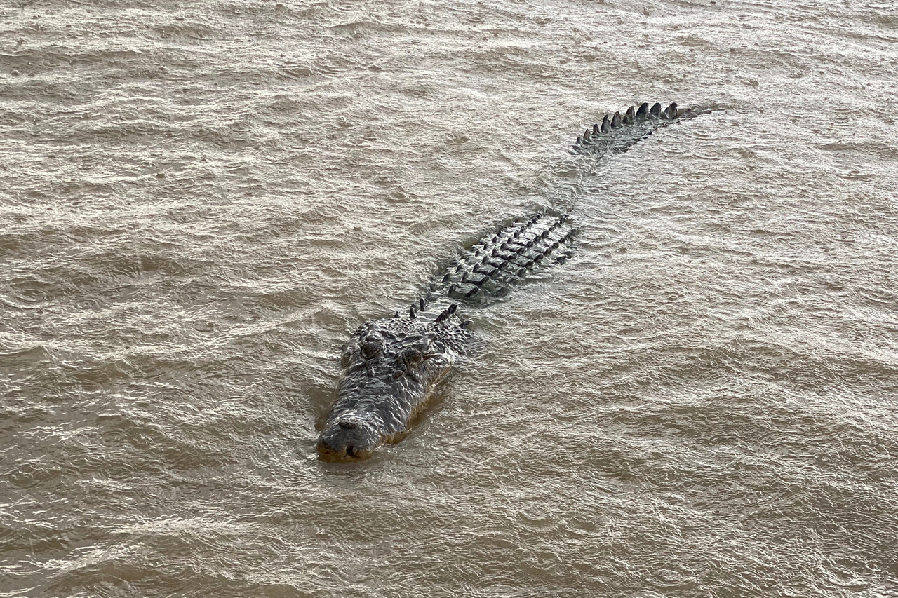
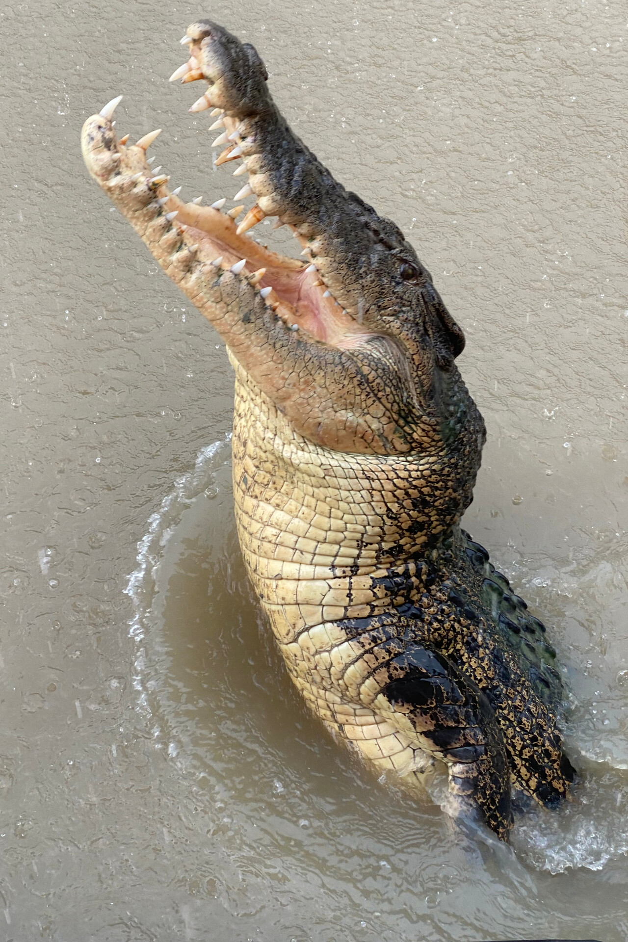
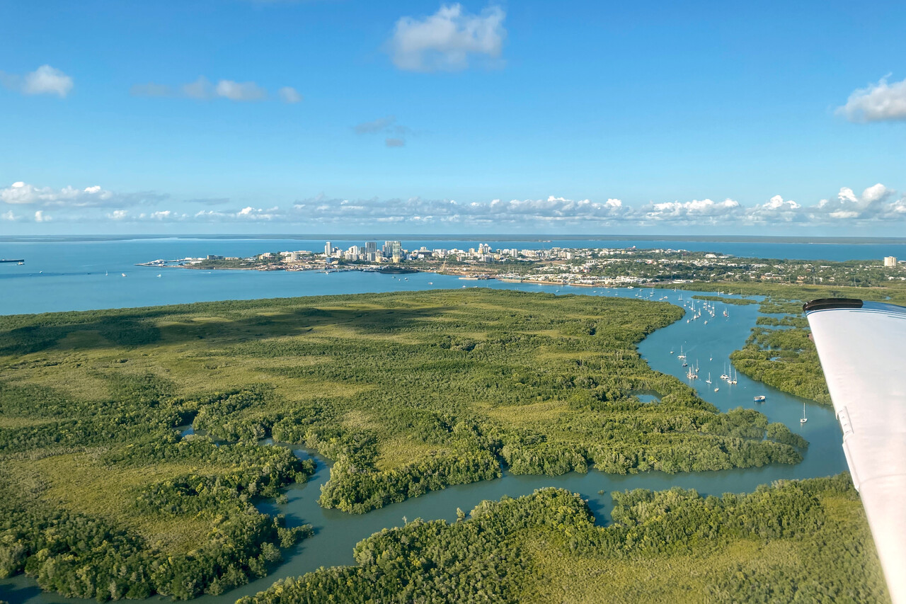
We took a rental car and explored the area. It was the beginning of the wet season and downpours in the afternoons were the norm. But this didn’t mean it would get any cooler – the heat was oppressive. While Darwin is a pleasant city, there is not too much to do around unless you’re prepared to drive really long distances. We went to see jumping crocodiles (well…), drove around Litchfield National Park (highly recommended), saw the aviation museum (a must for pilots), inspected underground tunnels from WW II (if you have time to burn) and went for several walks to see mangroves and beaches (sweaty affair). BTW, swimming is not allowed between October and March because of the deadly box jelly fish and is dangerous year-round because of the salties.
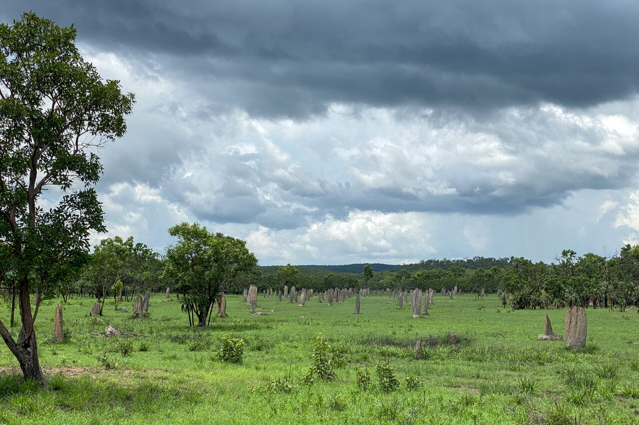
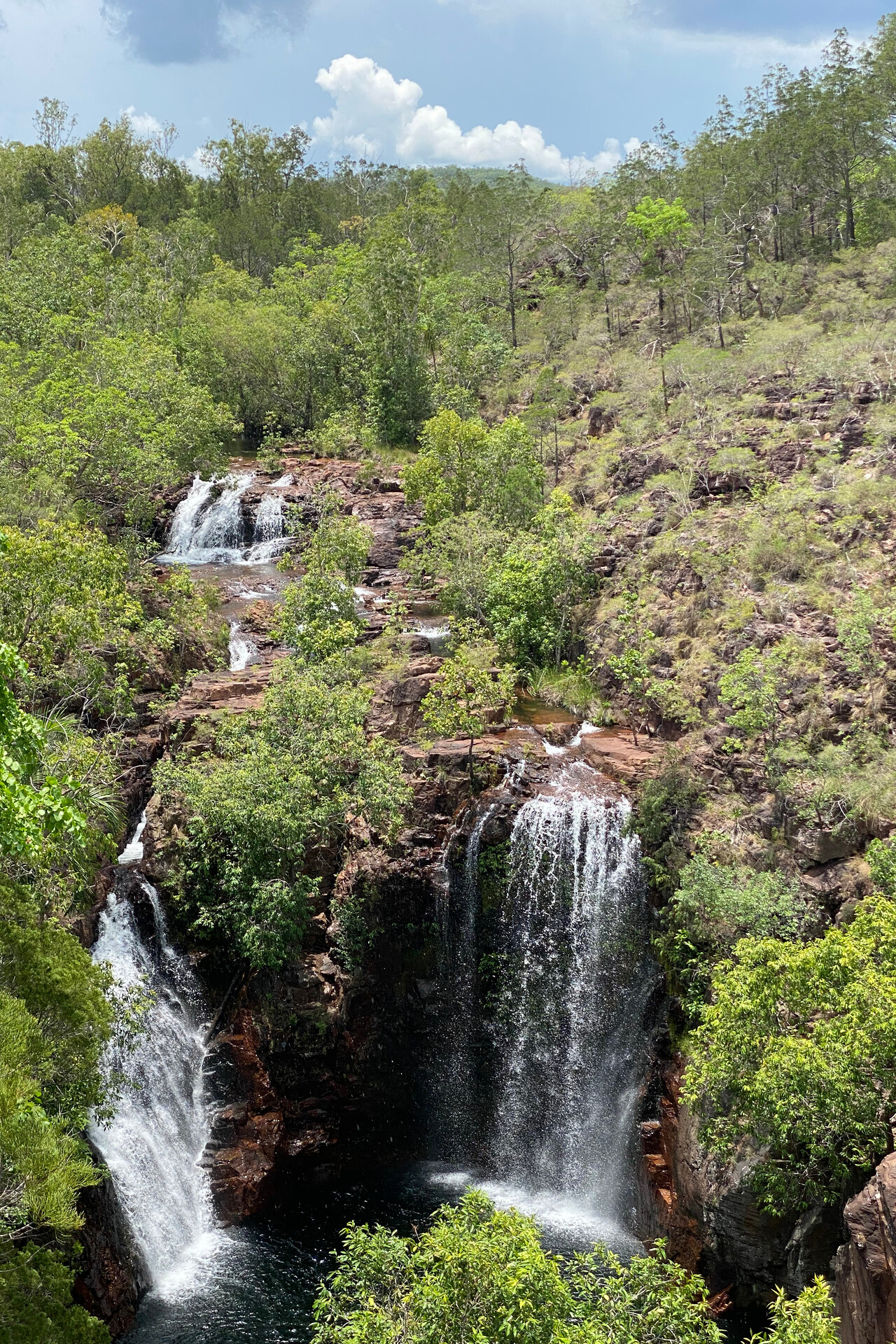
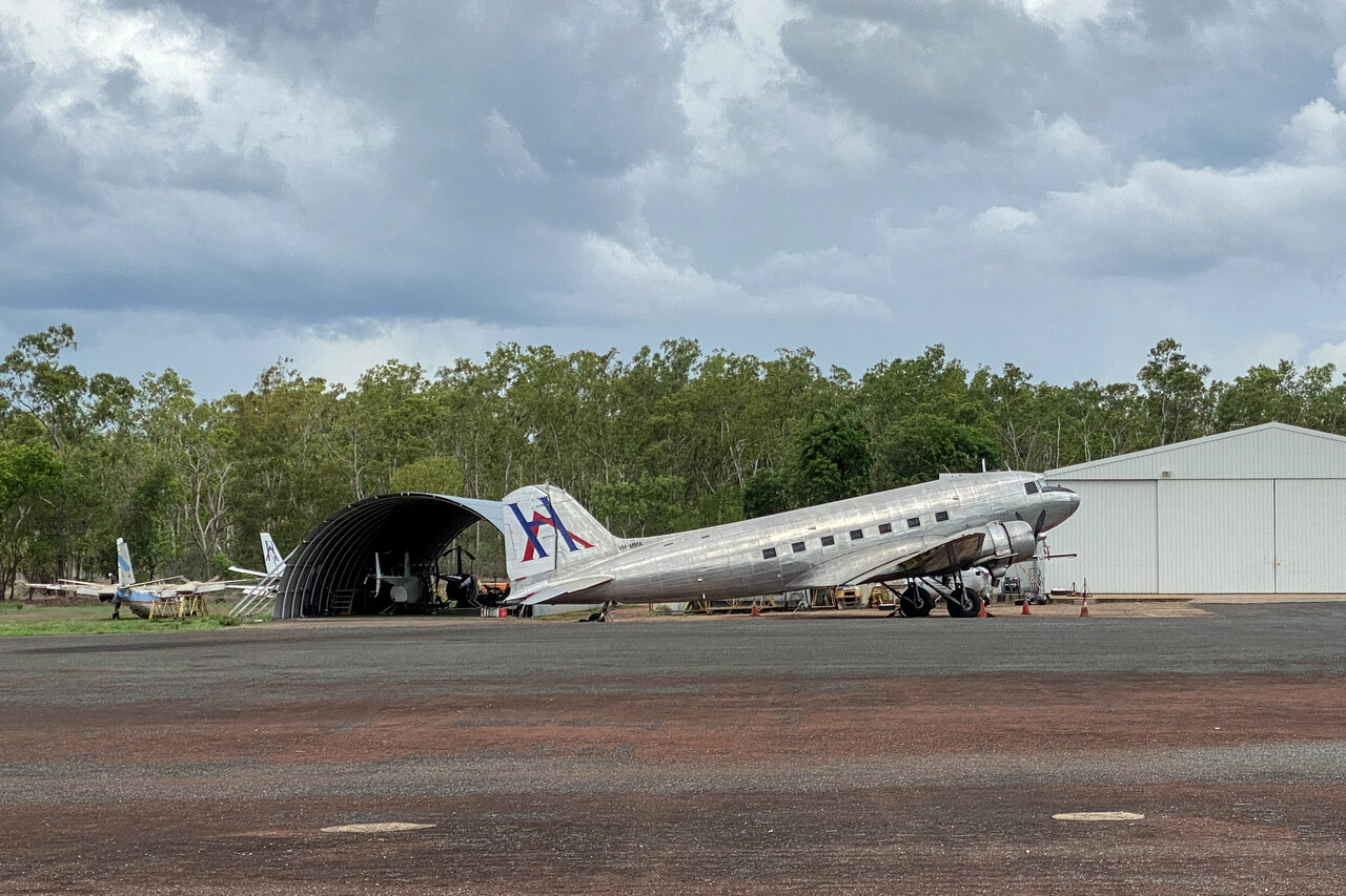
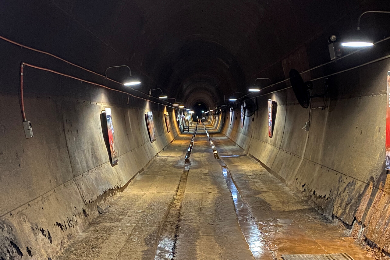
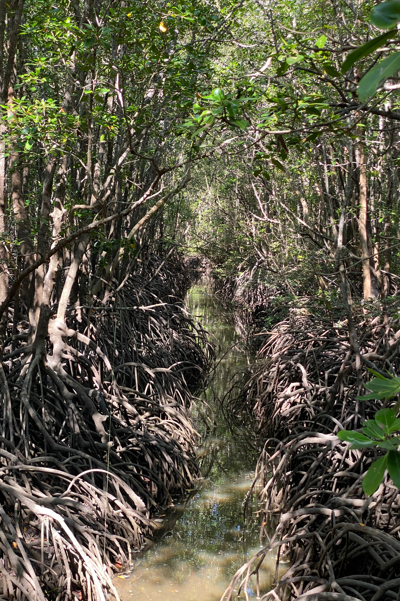
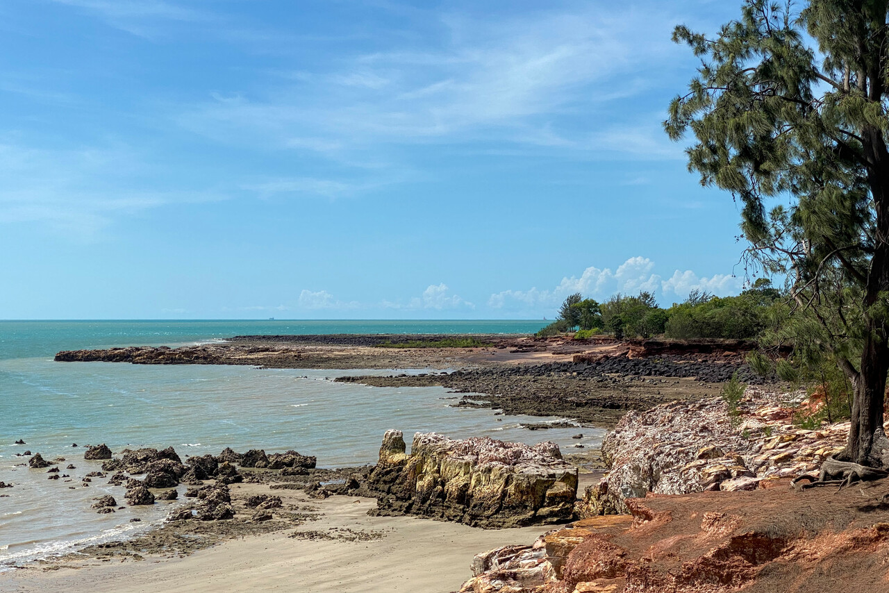
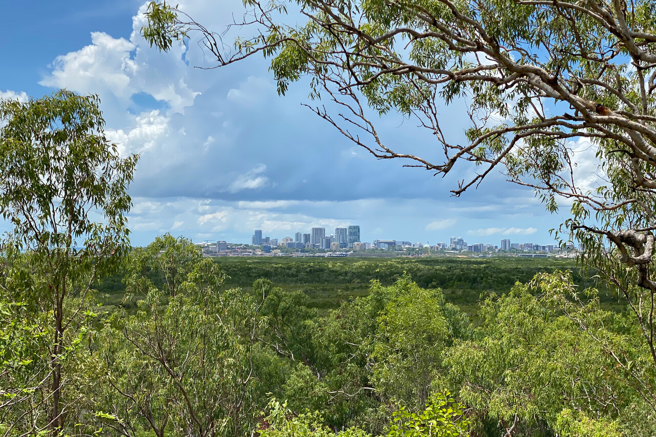
Finally, after exactly a week, the ASIC card arrived. It was a great relief, as we weren’t even able to get to our plane without this card. We left Darwin the next day to start our Australian flying adventure.
From the Top End to the Red Center
The northernmost part of the Northern Territory, around Darwin, they call the Top End. It’s a relatively humid, tropical area but it gets drier quickly once you move away from the coast towards the center of the continent. We thought it was a good idea to visit the arid center first and leave the more southerly parts for the height of the southern summer but this didn’t mean that temperatures in the center were pleasant beginning of December – it was hot.
We were eager to enjoy another kind of flying from now on: no permits, no Excel sheets with accurate dates, no funny shirts and no IFR flight plans anymore.
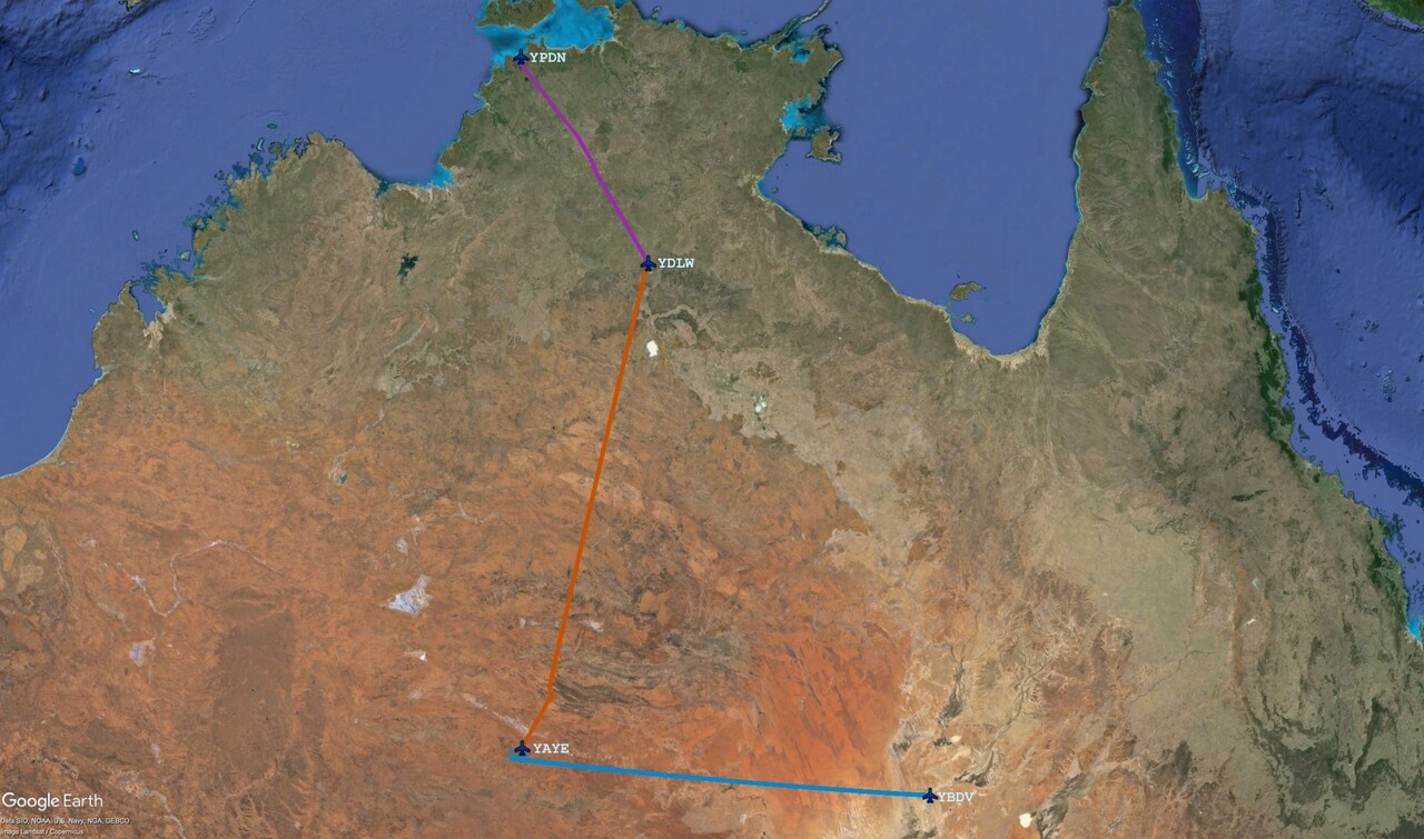
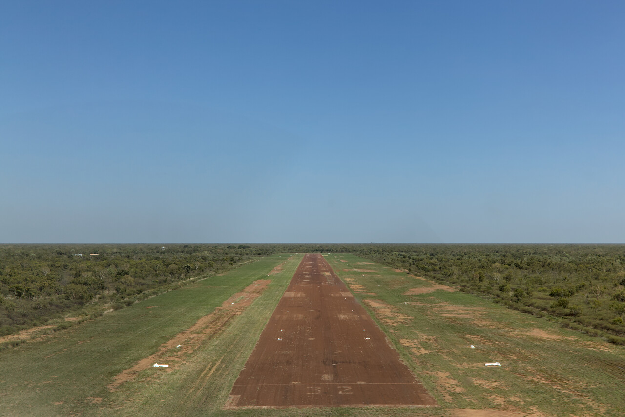
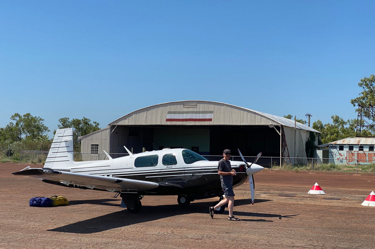
Our first stop on the way south was Daly Waters Airfield which has an interesting aviation history. Today its ICAO code is YDLW but it’s not an AD that’s listed in the Australian AIP any more. The runway is deteriorating but it’s still good enough for a Mooney and there is still a historical hangar.
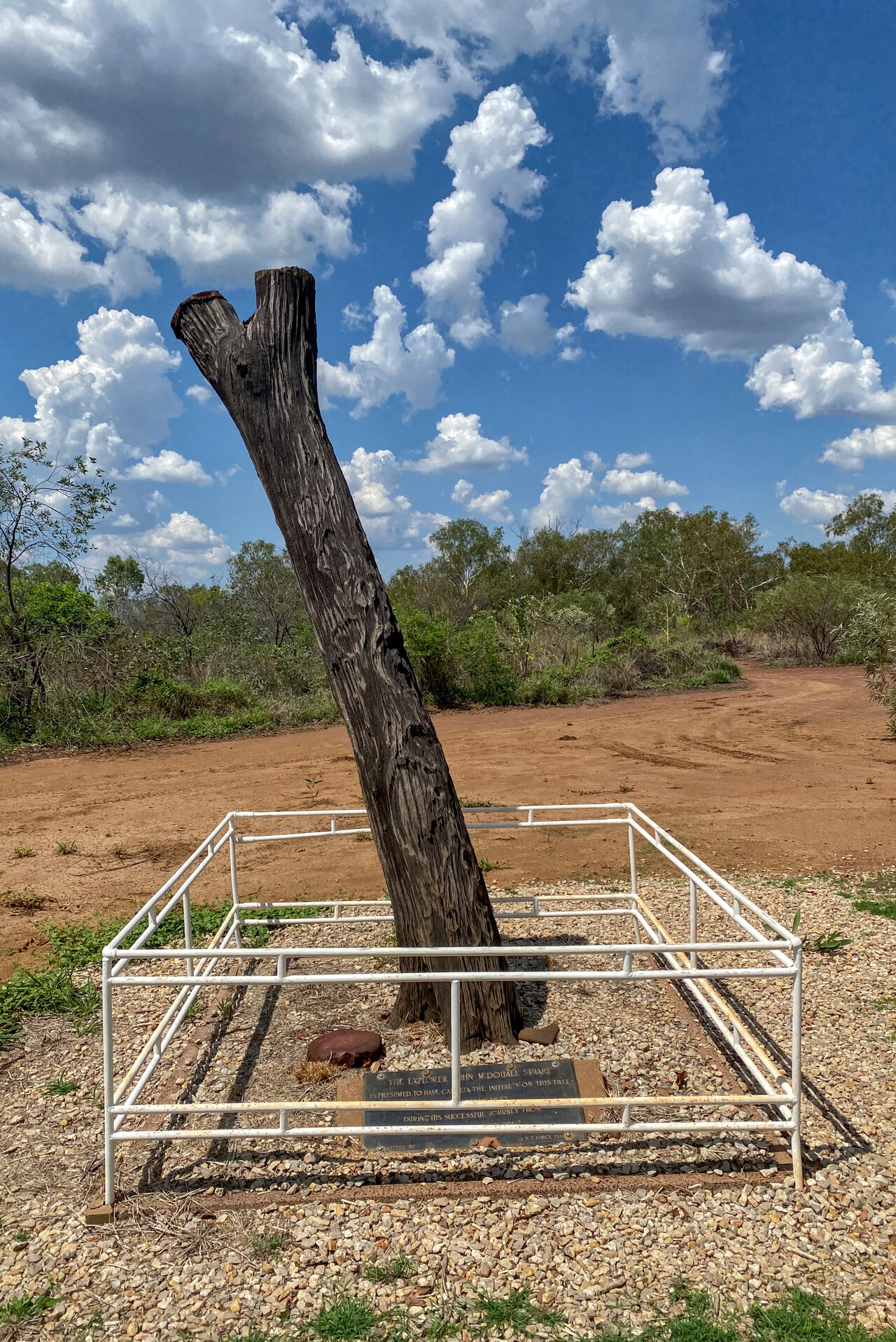
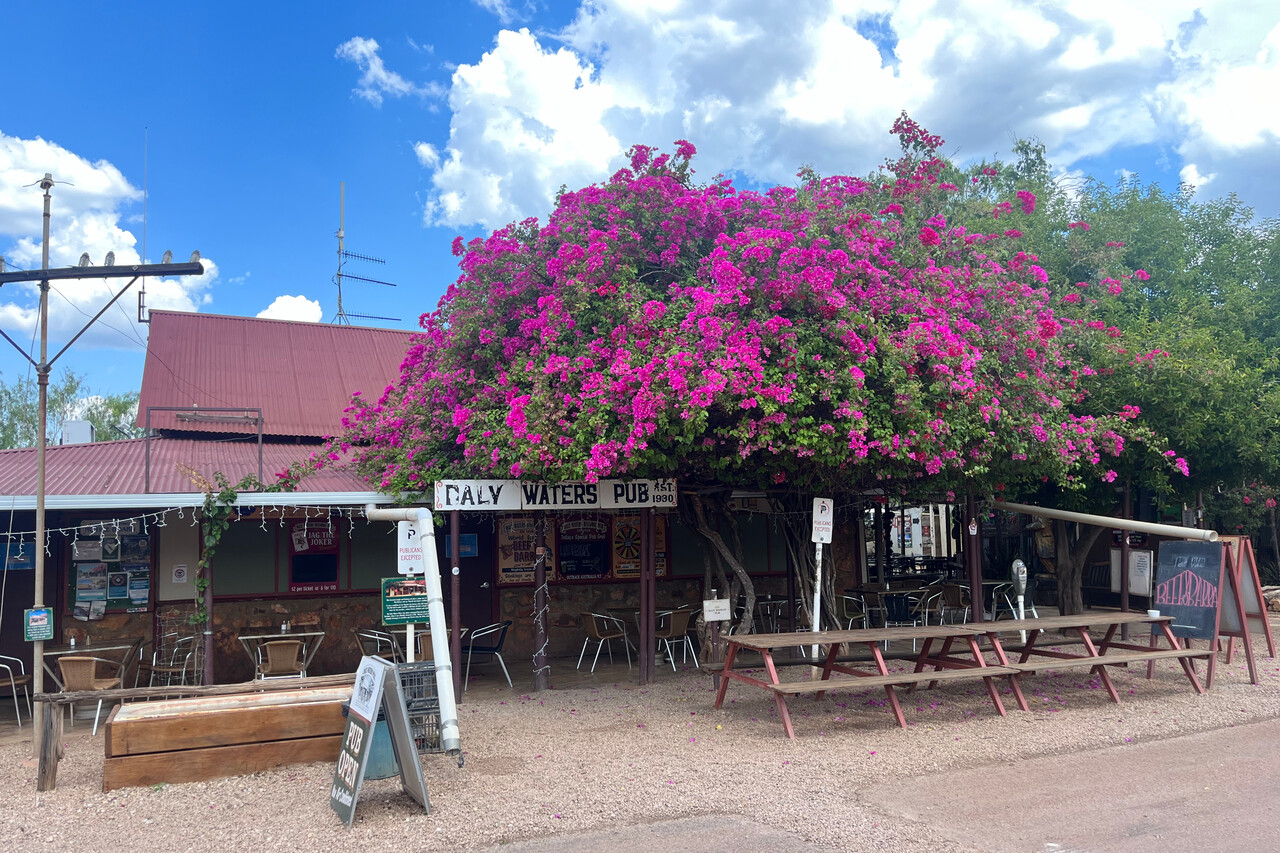
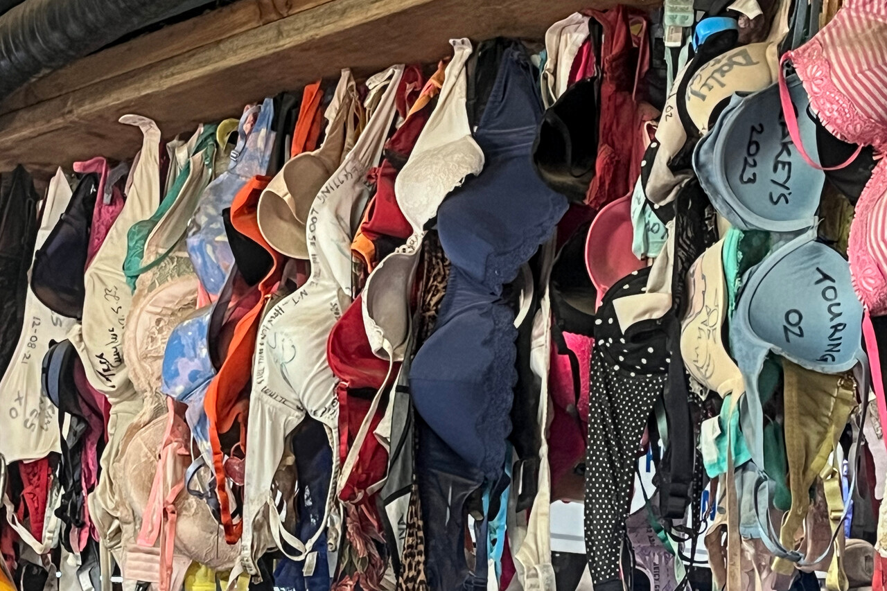
The Stuart Tree is the main attraction to be seen on the ground. A tree that was most likely already dead when the famous explorer and first traverser of the continent rested here in 1861. Much better is the Daly Waters Pub, a watering hole ol’ Stuart could only have dreamed about and probably not even that.
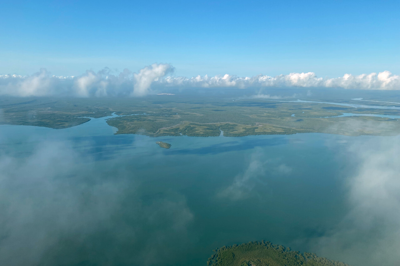
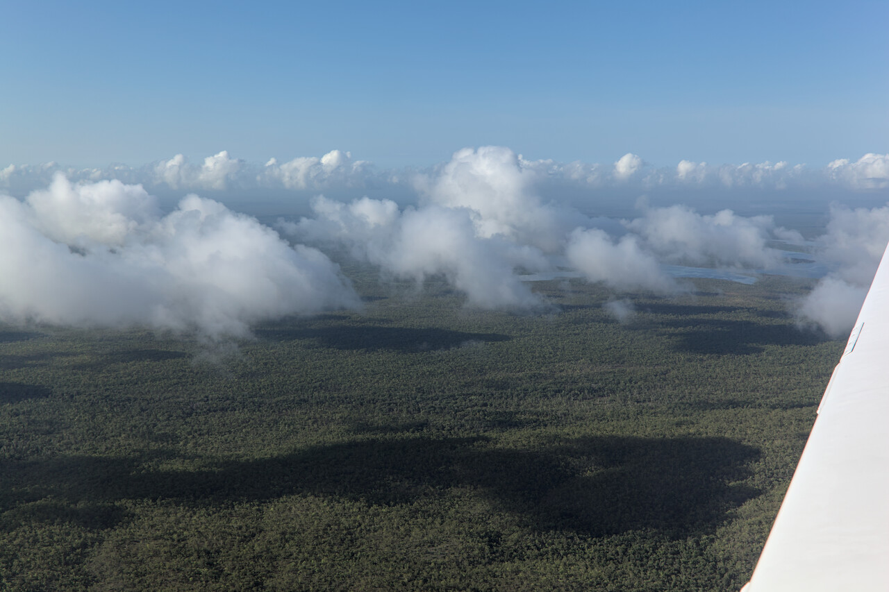
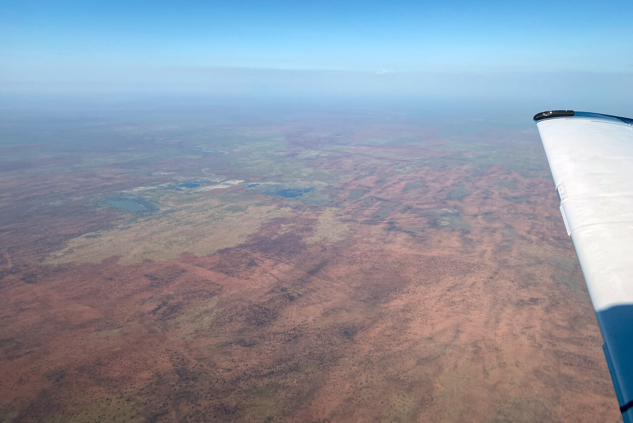
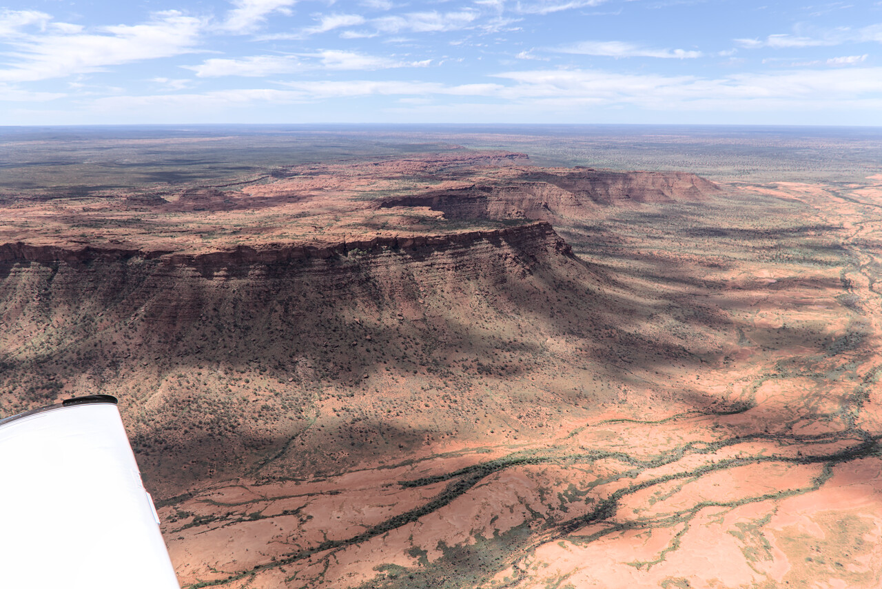
While it was still quite green around Daly Waters, it got really dry on our next leg to Ayers Rock Airport, YAYE. Sites on the way are Kings Canyon and (usually dry) Lake Amadeus. There is a little Aboriginal community nearby, but of course YAYE serves visitors to Uluru, the iconic rock in the outback, almost exclusively. The AD is uncontrolled but it has instrument procedures. There are several operators doing scenic flights with helicopters as well as with Cessna Caravans.
YAYE is parking PPR and the process to get the permission is a bit cumbersome. Not only were there lengthy forms to fill out, they also required the number of the ASIC card and its expiration date to be sent beforehand, otherwise they would not accept us. Once on the ground somebody would check the card before the gate access code would be disclosed. However, everybody was relaxed and extremely friendly once again.
Accommodation in the area is monopolized. There are a couple of places to stay in different categories, but they all belong to the same company. The value you get for your money is what you would expect in such a situation. There are no taxis, Uber or other means of transportation, except for buses that connect to the commercial flights.
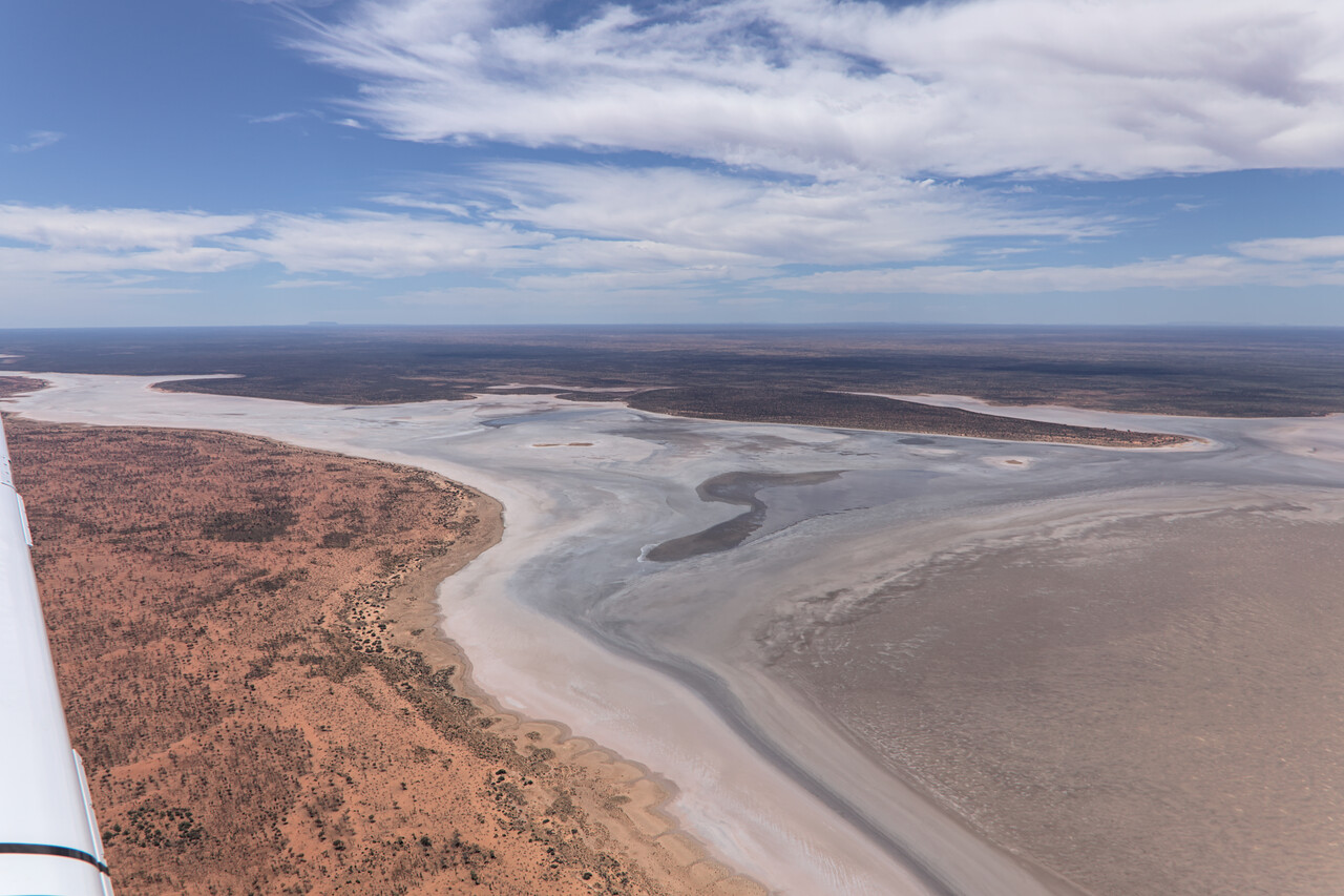
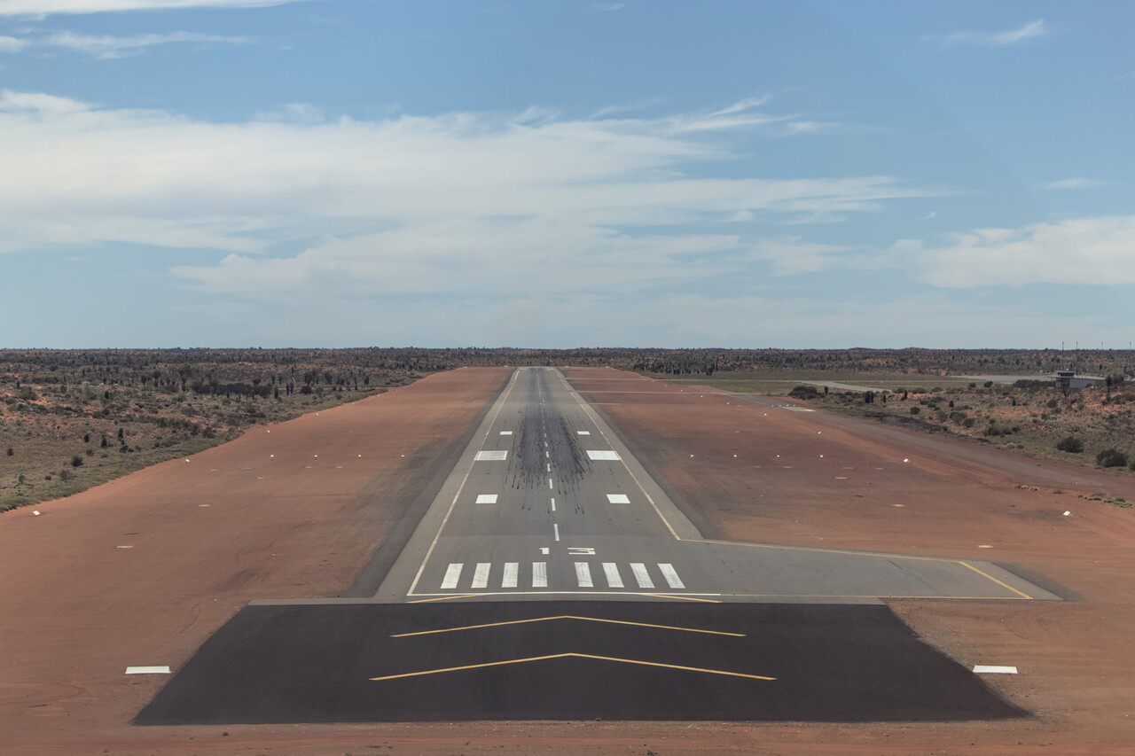
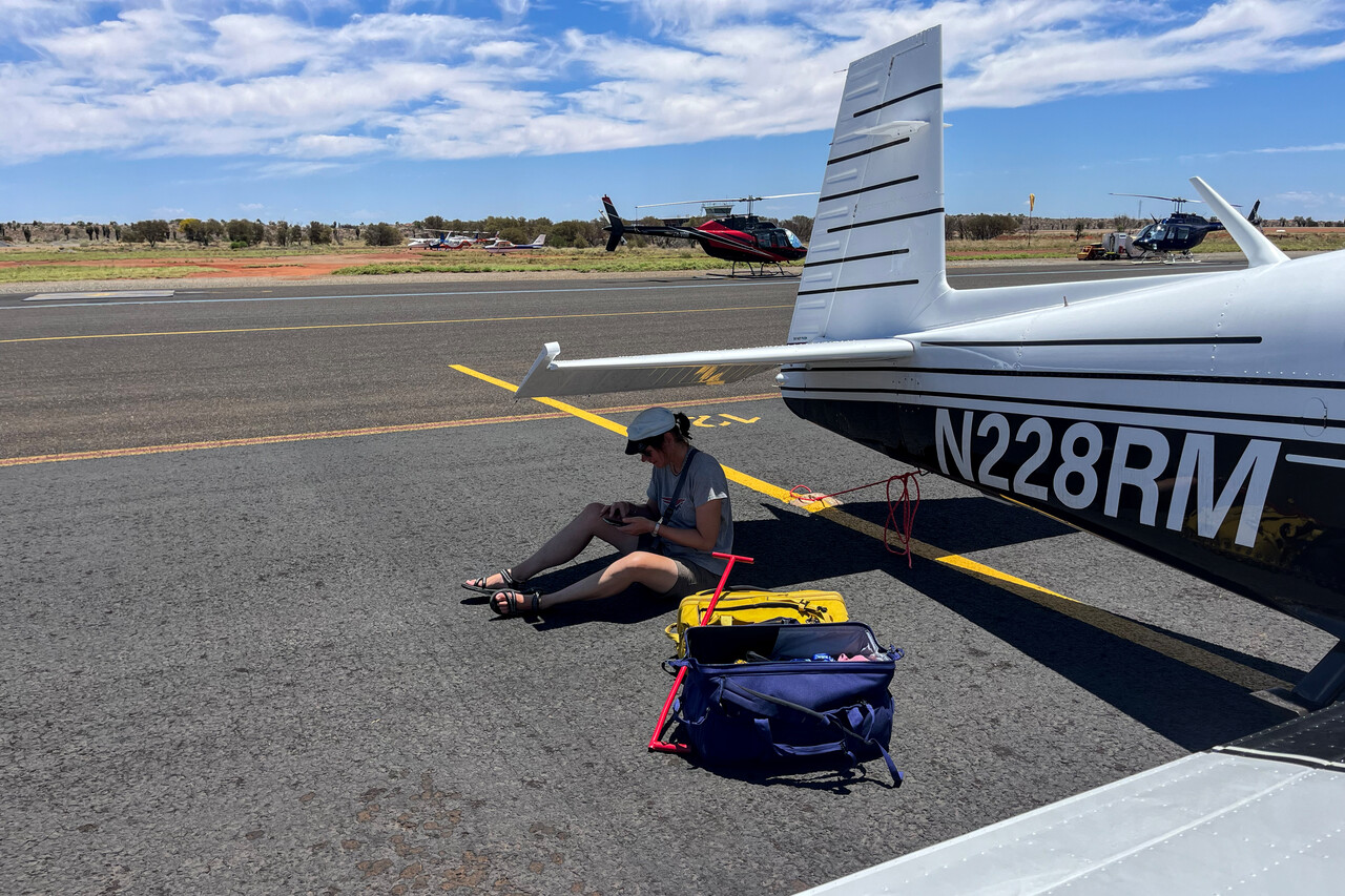
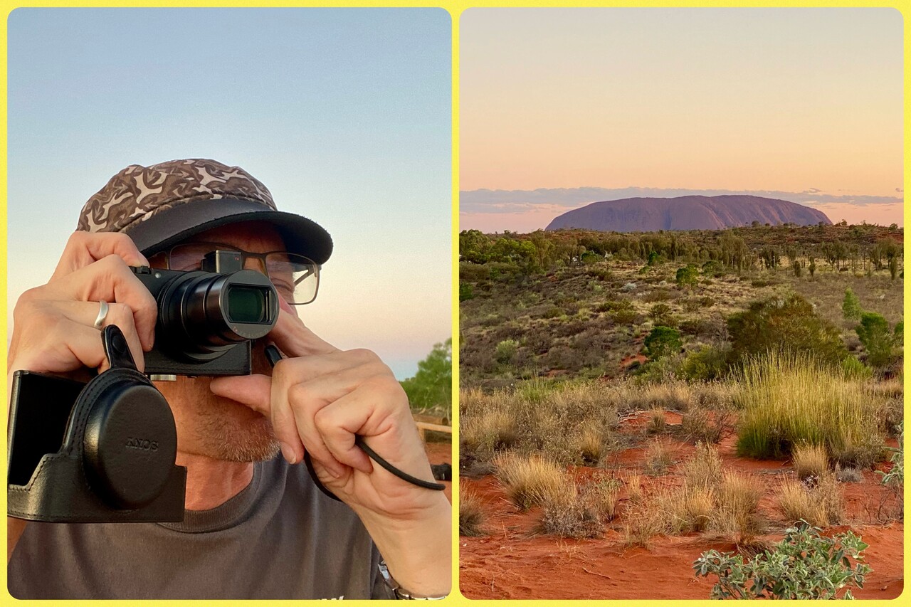
There is a special procedure published in the ERSA (Enroute Supplement Australia) which has to be followed to see Uluru (Ayers Rock) and the Kata Tjuta (the Olgas) from the air. It prevents you from getting too close or too low as the rock formations are of spiritual significance to the Aboriginal people. Moreover, the procedure is designed to prevent collisions between aircraft doing the scenic flights and to allow passengers seated on either side of the aircraft to see the rocks. The procedure comprises a couple of teardrops and turns and two level changes. We did it twice, once when we arrived in the afternoon and once when we departed in the morning. We hoped to get good light from different positions, but in the end it didn’t make that much difference.
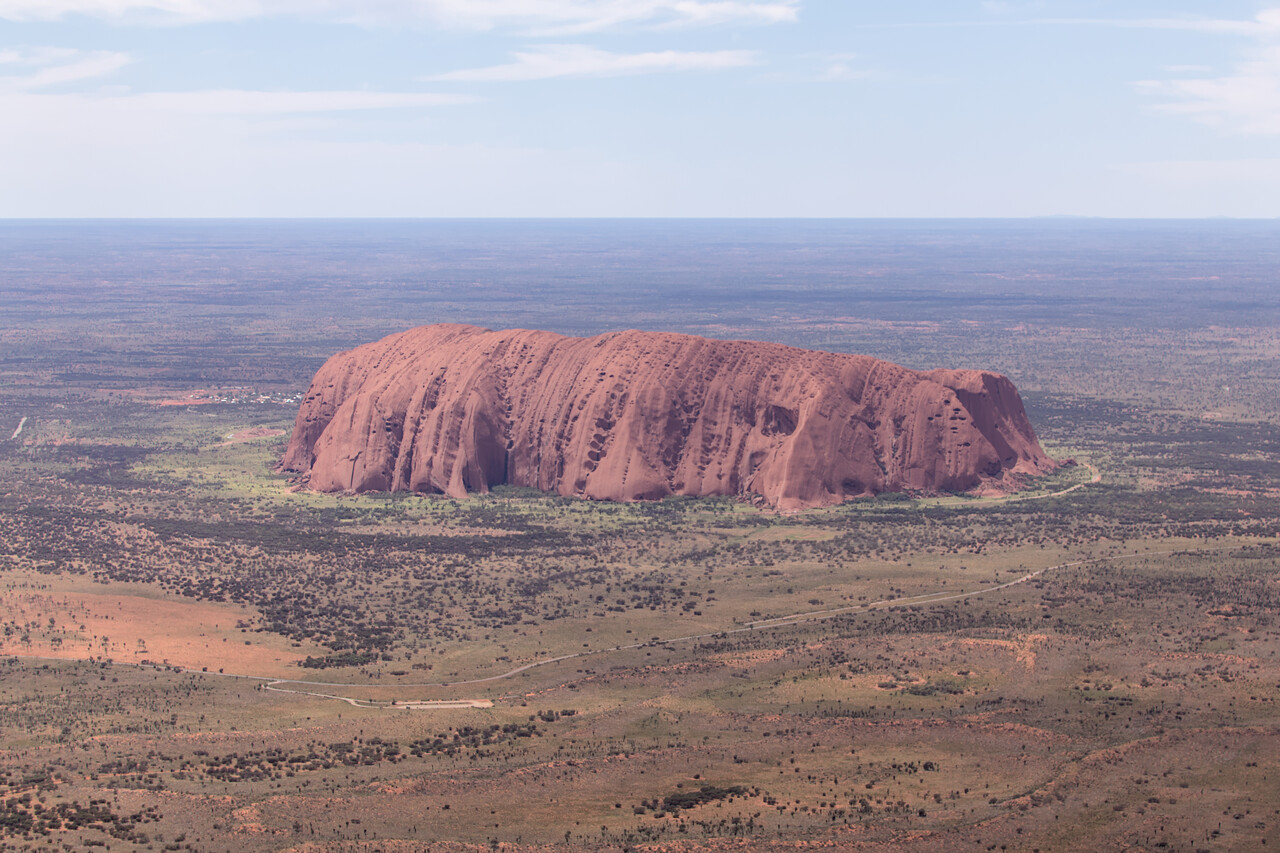
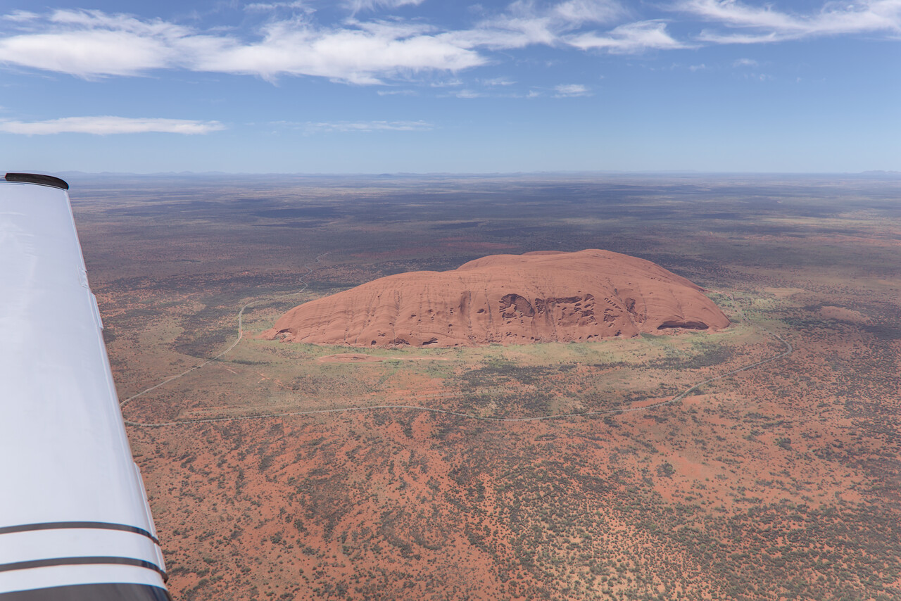
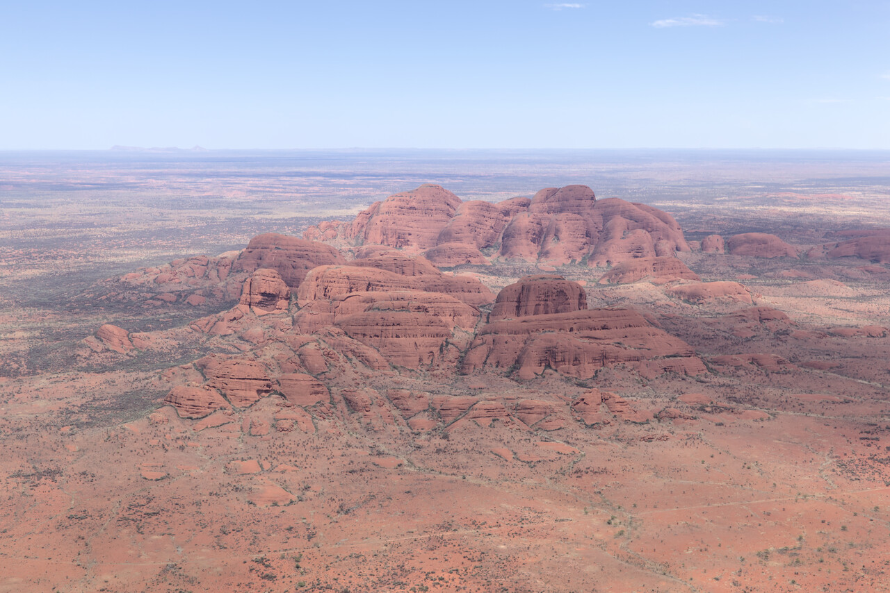
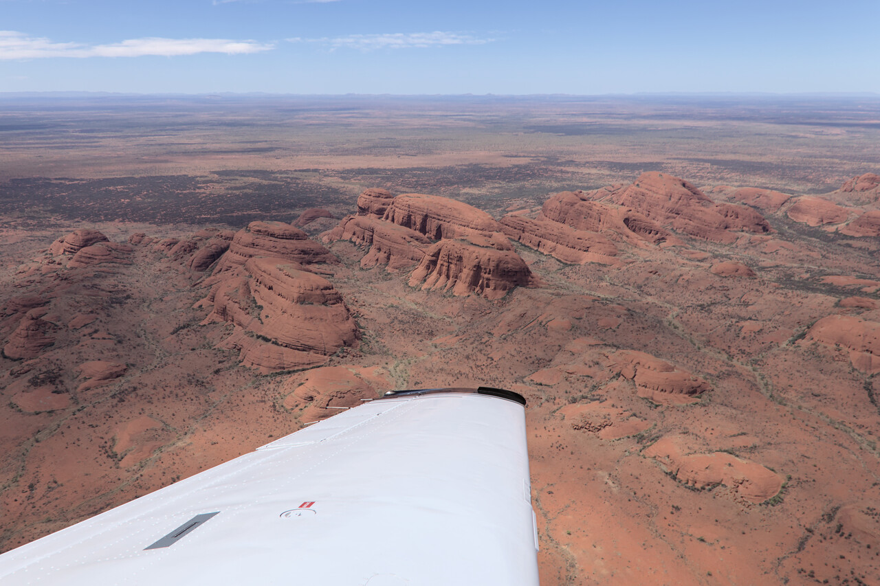
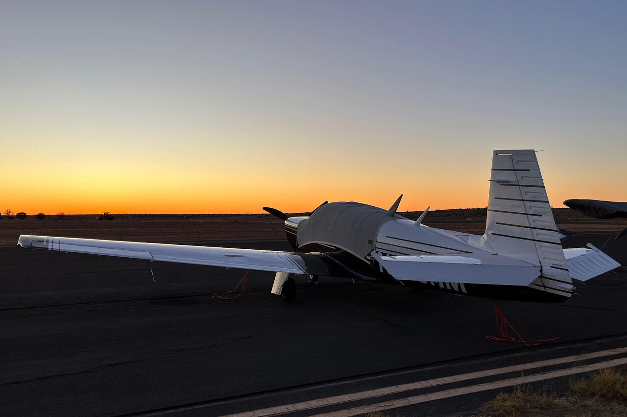
From Ayers Rock we turned East towards Birdsville, YBDV on the Great Artesian Basin. It was interesting to see the landscape change slowly once again during this flight. First it was arid but not completely treeless, then came the really desolate Simpson Desert and finally a bit of vegetation came back on the Basin. We weren’t able to depart as early as we wanted because we had to wait for the bus to take us to the airport. It was already well after midday when we arrived at Birdsville and it was really bumpy.
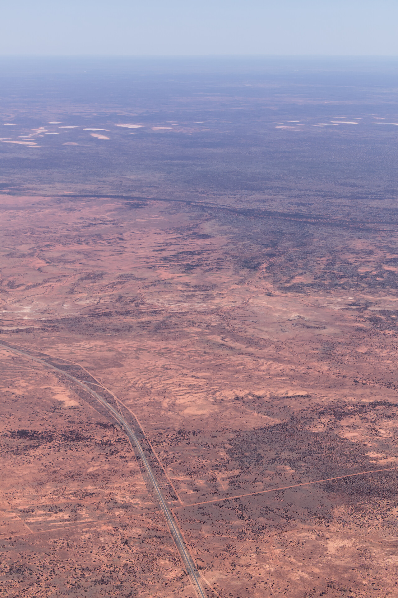
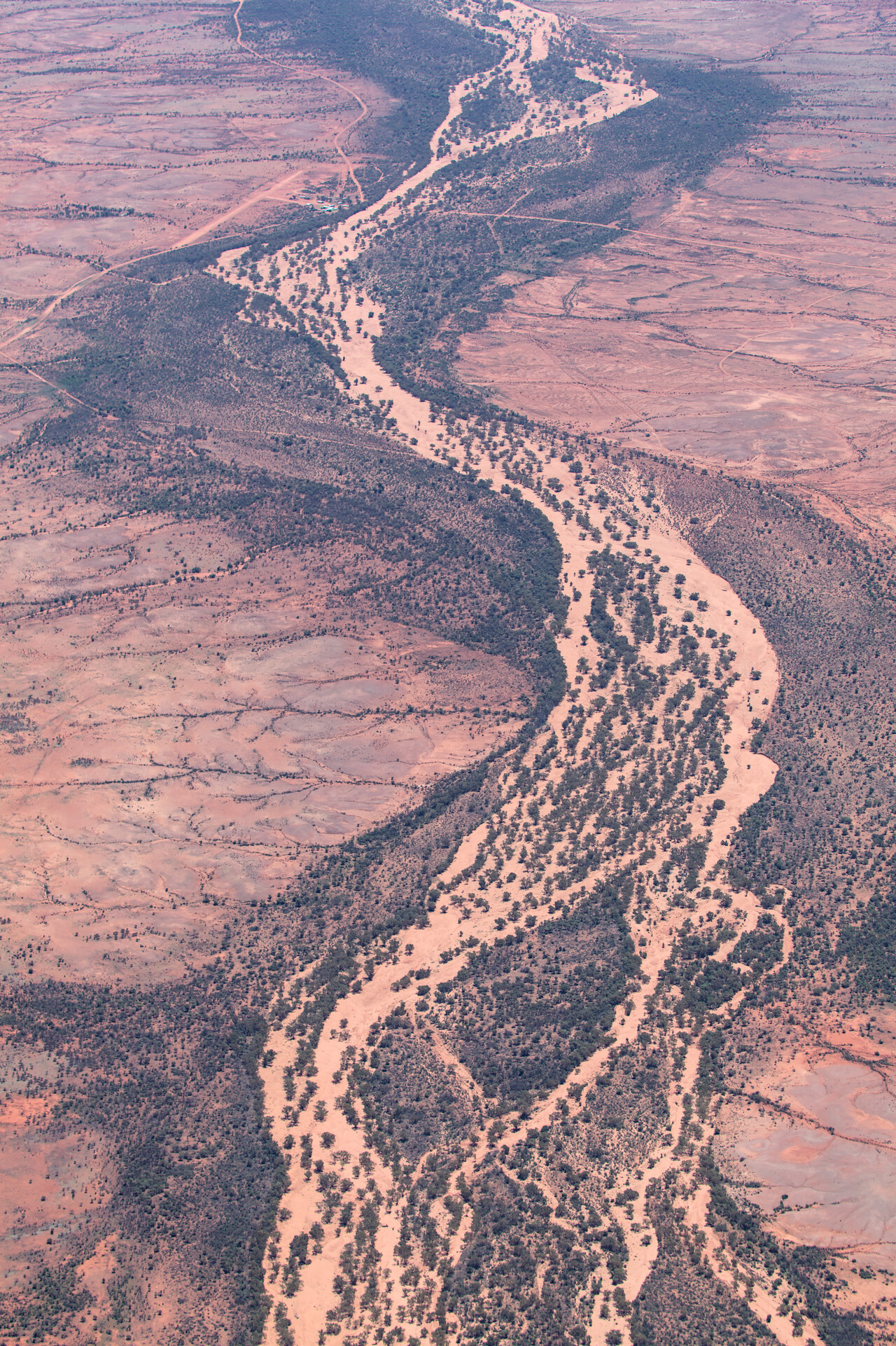
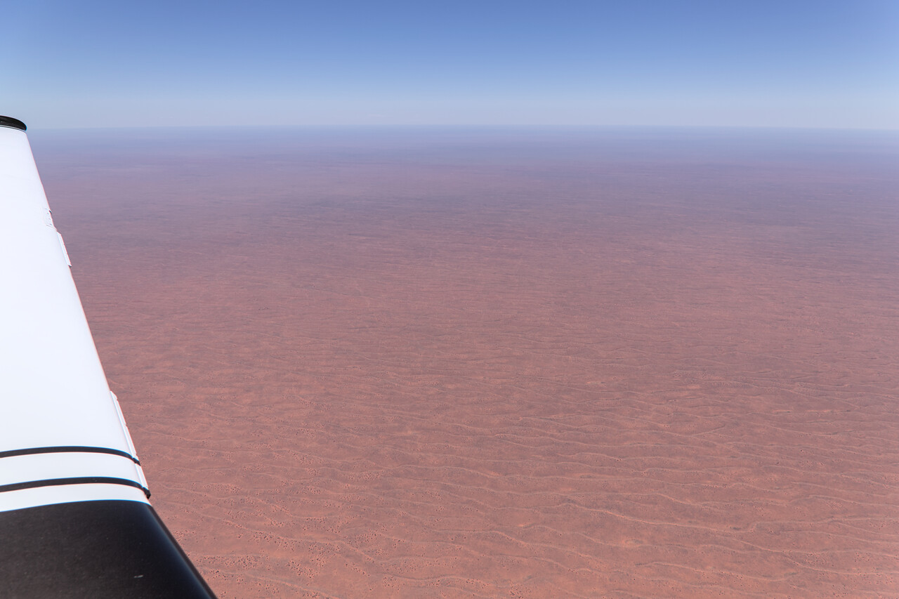
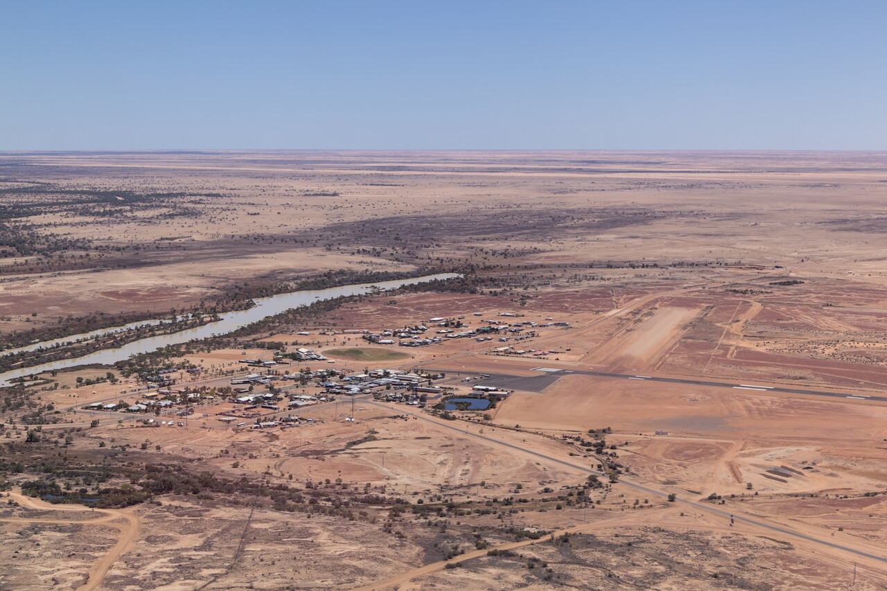
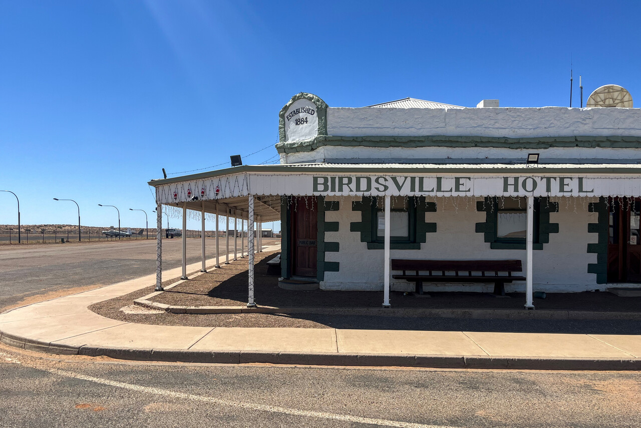
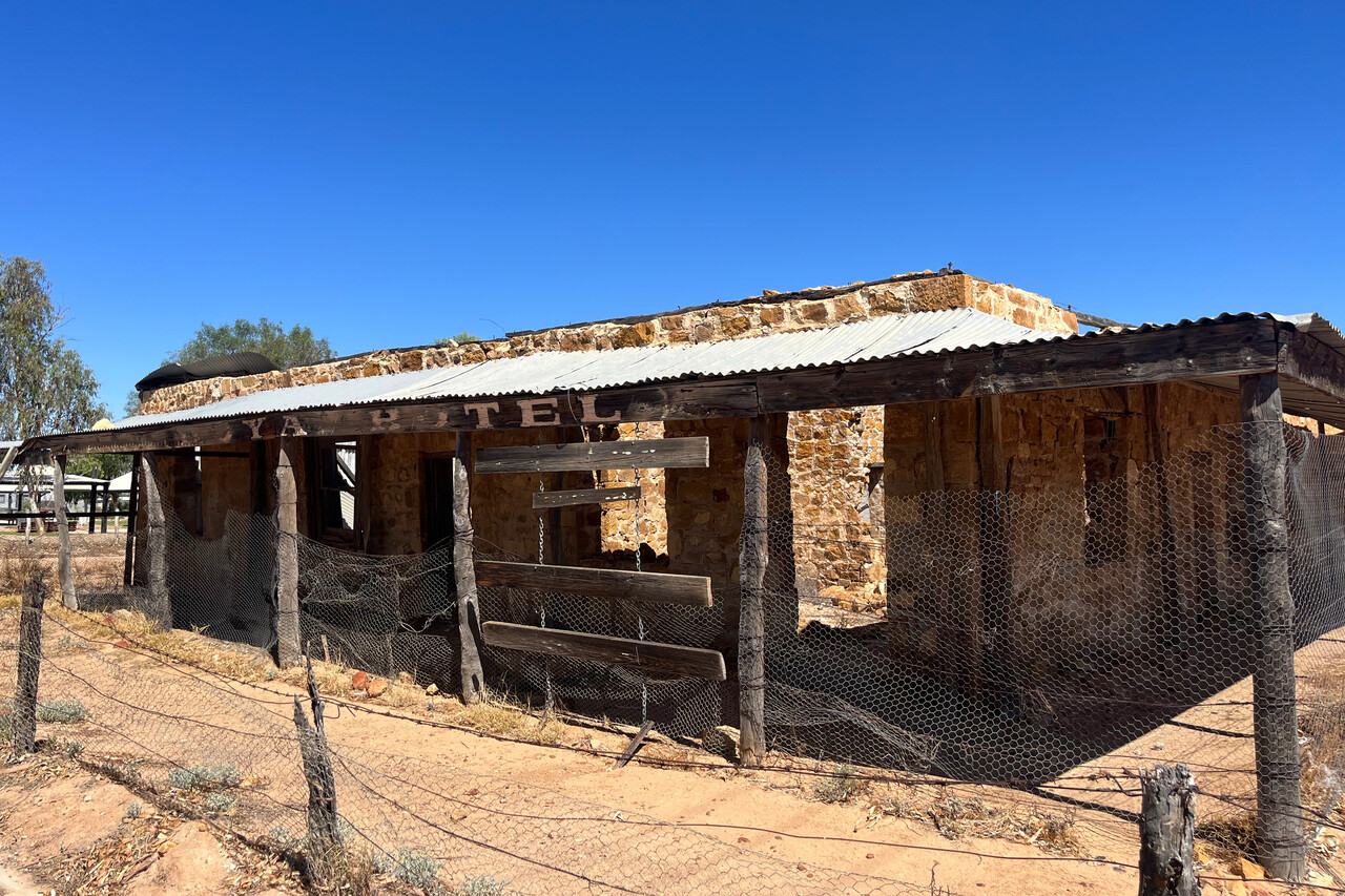
Birdsville in Queensland is a tiny village in the middle of nowhere. There is a famous horse race taking place there, but it’s in September. There is not much to see during the rest of the year. However, there is another famous outback pub there, right next to the airfield.
Red Center to the Wet Tropics
Our general idea was to fly down Australia’s East coast from North to South. Therefore we left the Red Center in a Northeasterly direction towards Cairns.
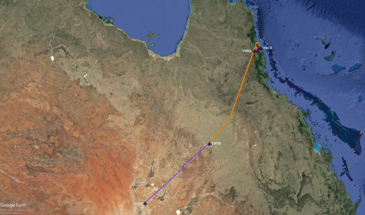
We decided to break the journey in Winton, YWTN. We left Birdsville early, to avoid the worst of the bumps. It was an enjoyable flight along the Diamantina River. This is again not a real river for most of the time but it’s very impressive from the air. Landscape changes from desert-like around Birdsville, where no agriculture seems to be possible, to a little greener around Winton, where sheep are raised.
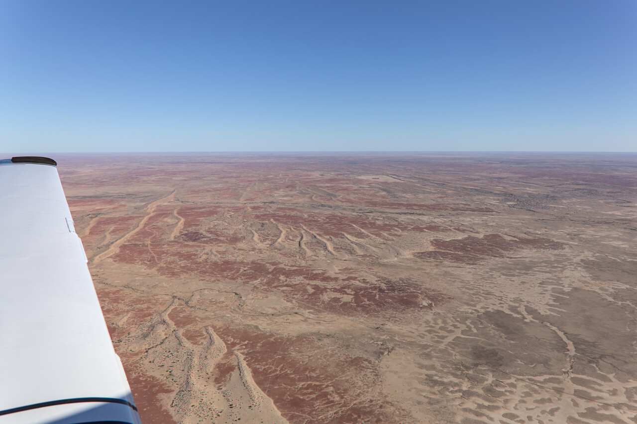
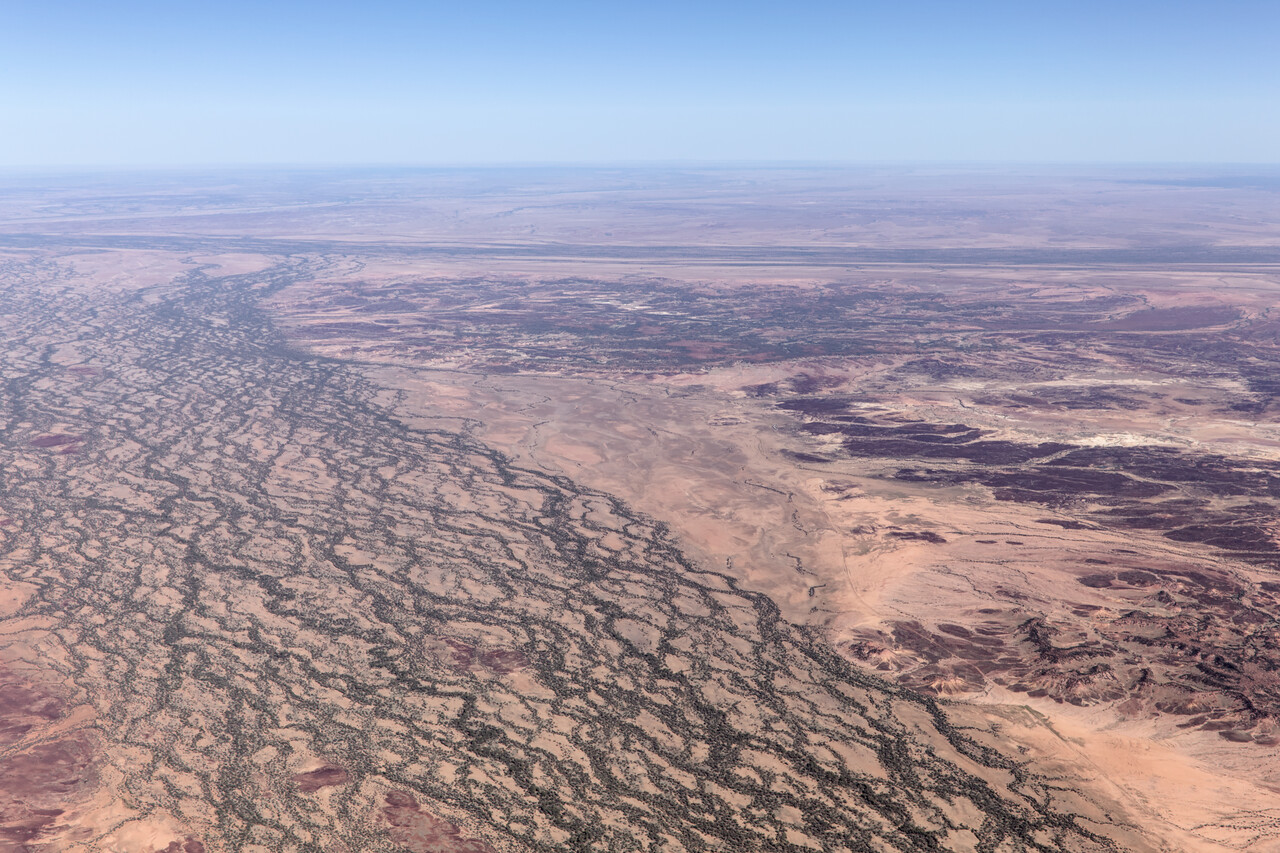
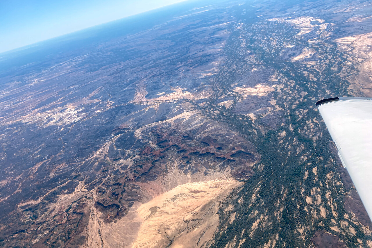
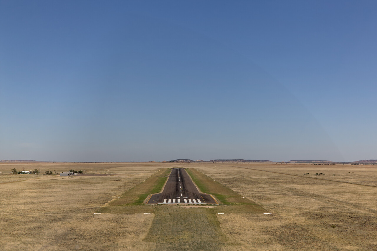
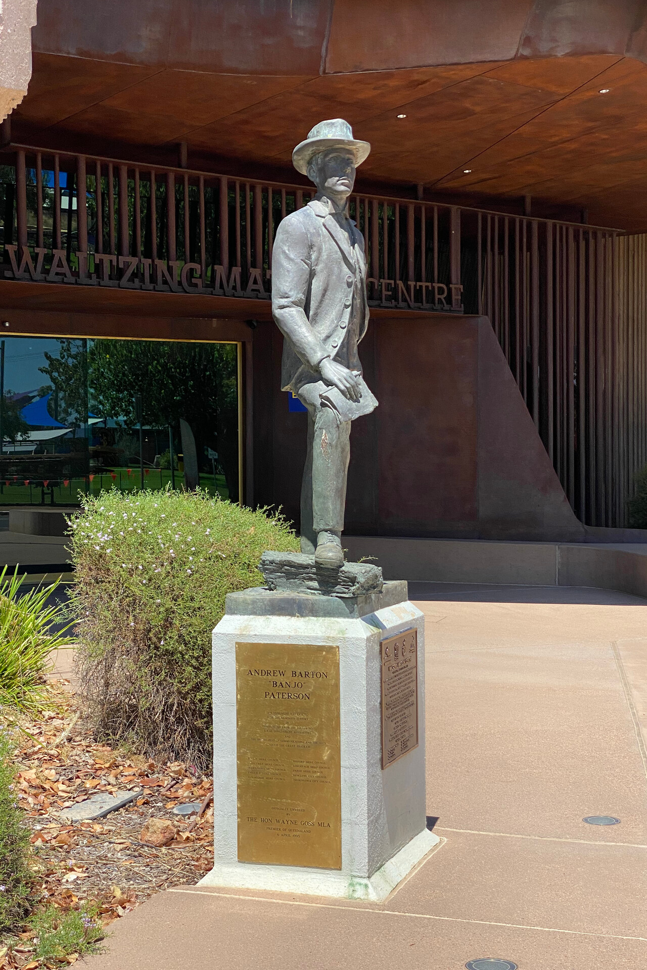
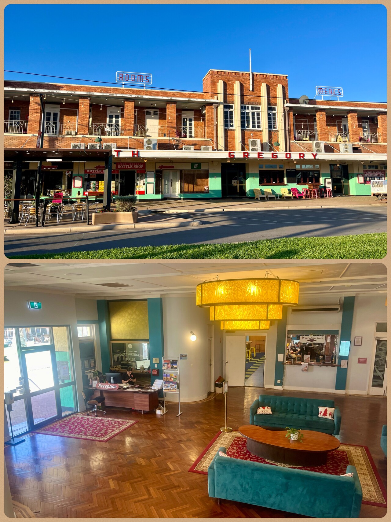
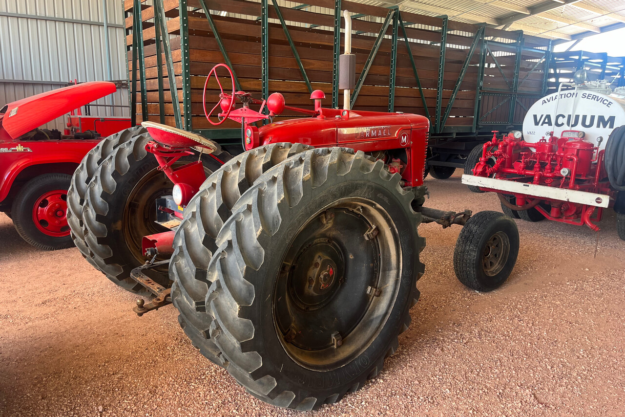
Winton is a real town compared to Birdsville but it is still tiny – and it was hot! The number of attractions won’t overwhelm anybody but it’s an interesting place for an afternoon. Waltzing Matilda was written here (by an artist named Andrew Barton “Banjo” Paterson) and performed for the first time at the North Gregory Hotel, which is an attraction by itself. The hotel burned down on several occasions but was reconstructed each time. We stayed at its current incarnation which is a lovingly persevere Art Deco building. Besides that, there is a machinery museum which caters to visitors with rather special interests. We enjoyed it a lot.
For our flights in Australia, all VFR so far, we used AvPlan EFB on a one month trial. It’s not bad, a bit like ForeFlight in the old days with bitmap charts. Of course, it takes a while to get used to it, but then it’s quite OK. They offer different “plans” to subscribe to and only the most expensive one offers IFR planning and filing. We were not sure if we would need that.
Our next destination was Cairns, YBCS, a relatively busy airport. Clouds were forecast over the mountains of the Great Dividing Range so I thought it would be a good time to try IFR. I compiled a route of four or five intersections and airways in between and used autorouter with its manual IFR feature. I had checked the Australian AIP and the addressing autorouter came up with was exactly as described. I filed it and it worked like a charm. So the basic VFR subscription of AvPlan EFB would be good enough for us.
The flight to Cairns was in the clear for most of the time so we could admire the changing landscape once again. The first real rivers appeared once we were closer to the Great Dividing Range and the approach along the wet tropical coast was spectacular, especially as we arrived from the dry center.
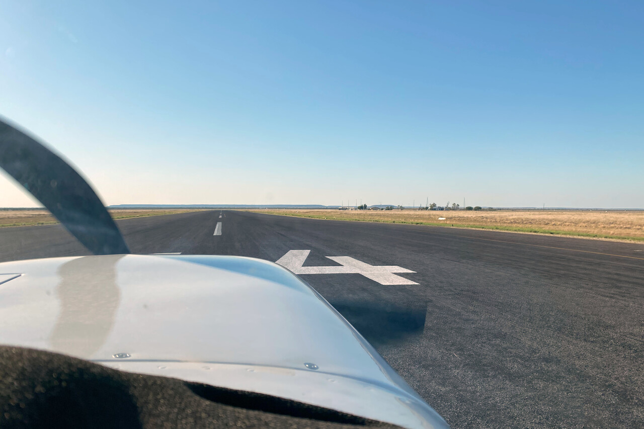
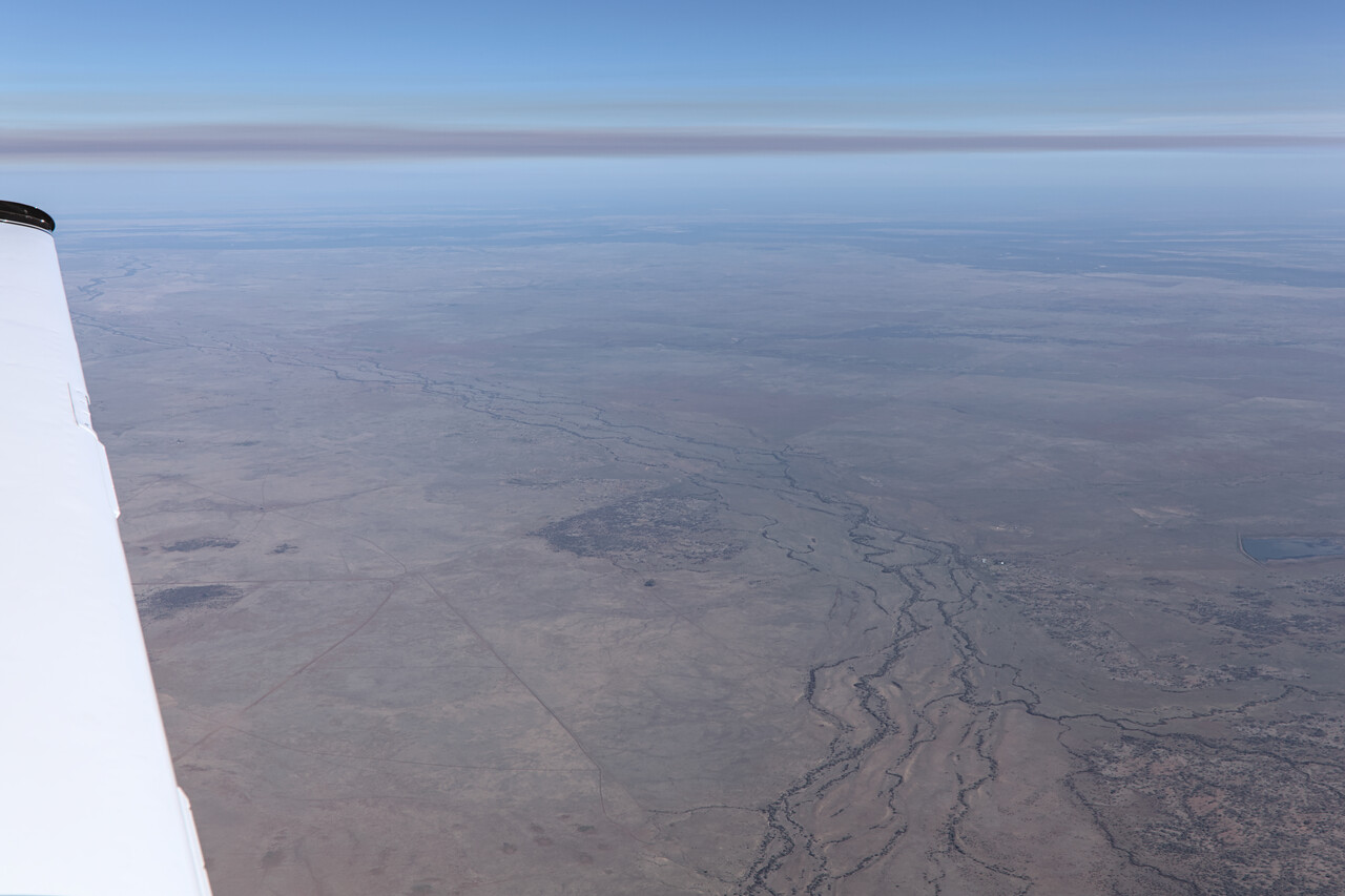
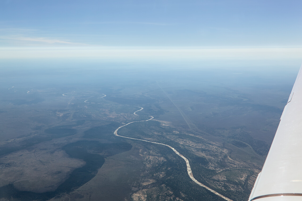
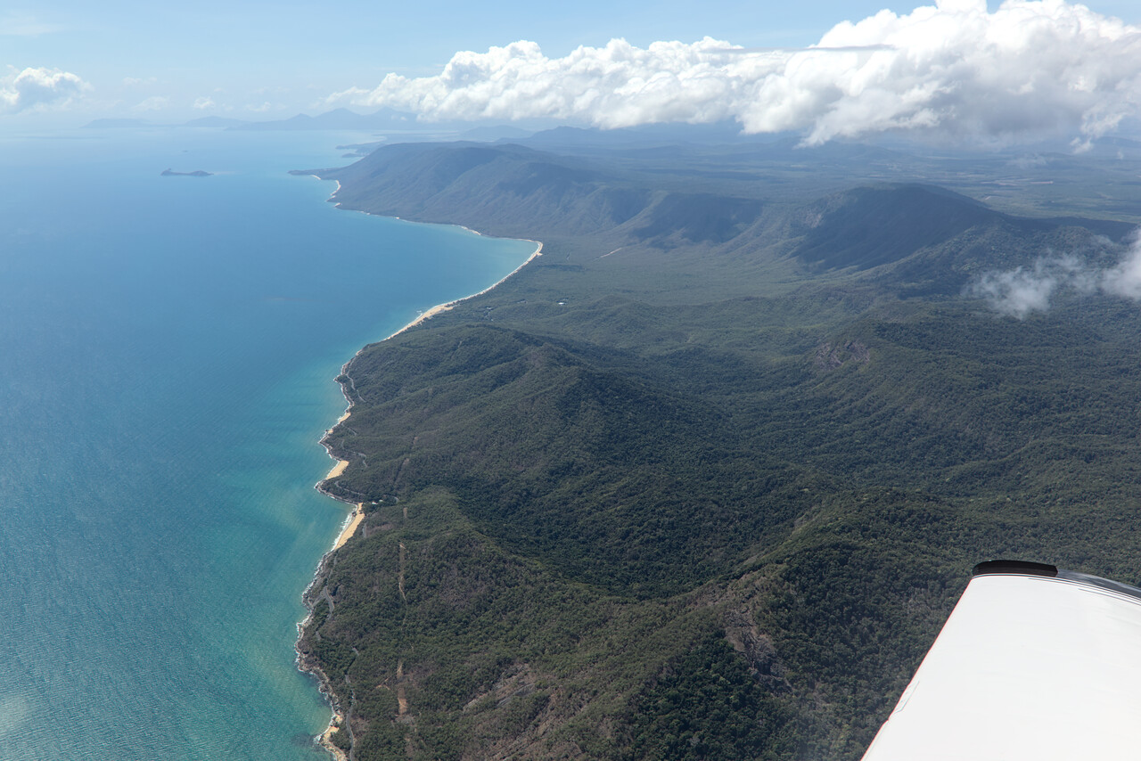
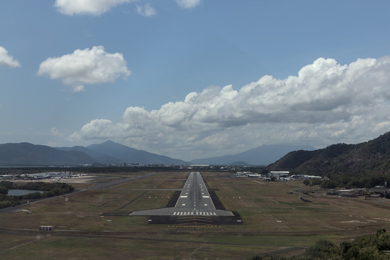
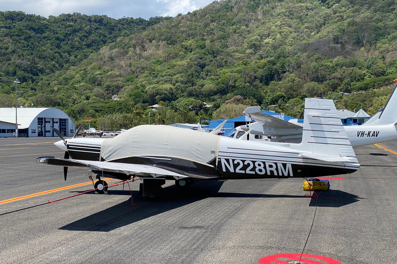
Cairns is the epicenter of tourism in North Queensland with a stunning setting, a waterfront with lots of pubs and restaurants and a myriad of activities and tours available. We decided to take the historic train up to Kuranda and return down by cable car the day after we arrived and it really was a fun endeavor.
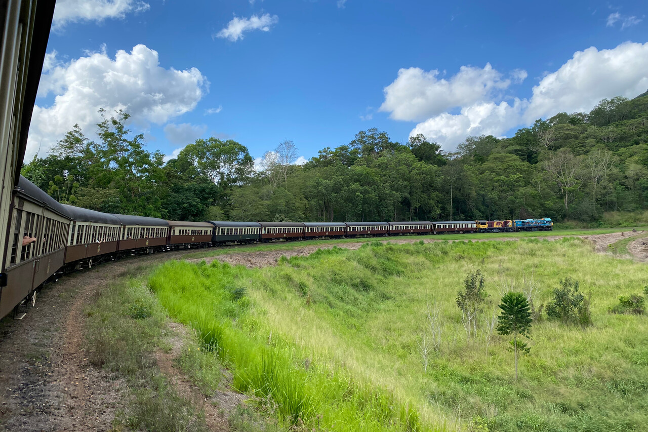
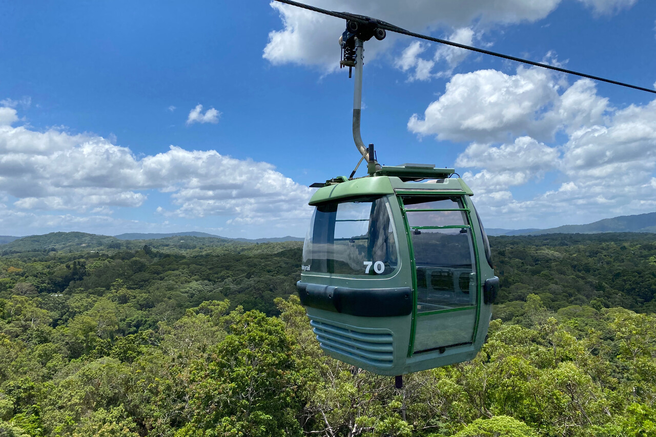
Already on the day of our arrival at Cairns people warned us about the approaching cyclone. We checked all forecasts available and learned that the cyclone — Jasper as it was called later — was still quite a bit away. We now had two alternatives: we could either rush it and fly south or wait it out. We opted for the latter but decided to relocate to Mareeba, YMBA. This little AD is just 15 minutes away but it’s located behind the mountains which we thought would give shelter from the worst of the storm.
Weather was still great when we wanted to do the little hop, so we went VFR, of course. Cairns has a separate delivery frequency where we asked for a clearance with the engine already running. However, we were told they couldn’t find our flight plan. No wonder we said, we hadn’t filed one. In this case delivery told us, we couldn’t fly, no clearance available without flight plan. No exception was made, not even for a little brown Mooney. I think, I had read the AIP but I can’t remember that rule. Anyway, we had to shut down the engine and file a flight plan. We hadn’t yet setup NAIPS, the Australian AIS portal, correctly but that was of course our fault. I used autorouter to avoid losing too much time and it worked fine again. I couldn’t insert VFR reporting points this way, but ATC was graceful and gave us a sensible clearance to Mareeba.
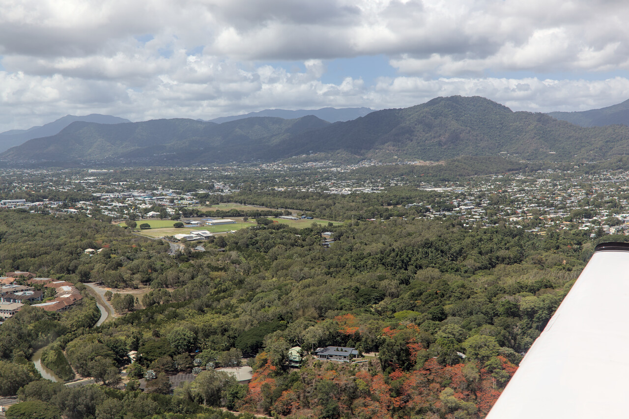
The flight through the valley along the little peaks was delightful but very short. Mareeba’s airfield is an active place, with an aero club, flight training, and a repair shop.
The Cyclone Diaries
Mooney owners are a friendly and hospitable bunch worldwide. Not only did we have the privilege of making friends with other owners all over Europe, from Lisbon to Helsinki, we also were generously invited by fellow straight tail pilots in both Americas.
Like Europe with EMPOA, Australia has a Mooney owners association called AMPA. Of course we contacted them before we arrived down under. It turned out that Aussie Mooney owners even manage to beat the friendliness and hospitality we received in other parts of the world. We got invited by an overwhelming number of pilots around the country.
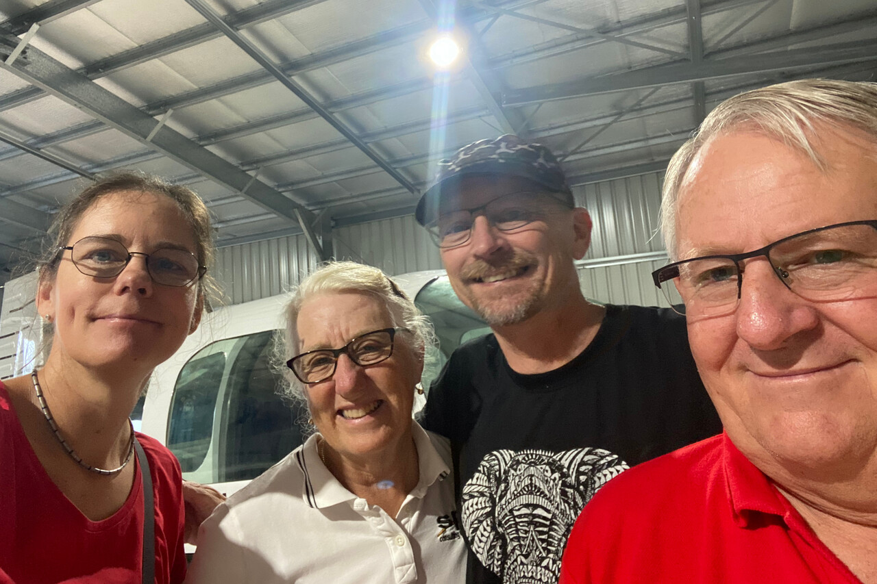
Like the rest of the Australian population, most Mooney owners live in the bottom right corner of the continent. However, Jane and Simon are a Mooney couple as we are, both are avid pilots and they live near Cairns in North Queensland. Their invitation was the first we followed due to our route and we were overwhelmed by their generosity. They invited us for dinner the first evening and we talked a lot about aircraft. Of course the approaching cyclone was a subject as well and they agreed with us that if we wanted to wait it out, relocating RM to Mareeba would be a good idea. We said we would try to rent a car in Mareeba but they said we don’t have to, as they had three cars and would lend us one of them. They gave us the key right away and even parked the car at Mareeba airfield so we could drive away after landing. And what a car it was: a thirty year old Toyota Hilux pickup truck – I loved it.
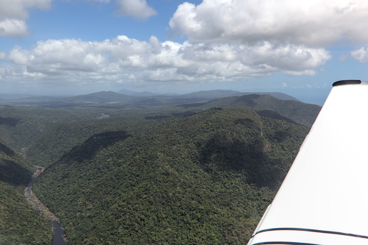
At that point it was still completely unclear where the cyclone Jasper, as it was called now, would hit the coast and how strong it would be, however, we would have two or three days with sunny weather. Most locals we talked to weren’t overly concerned. Jane and Simon were busy the next days but they recommended that we drive up the coast via Cape Tribulation to Cooktown. We did as we were told and had two really nice days in the wet tropics.
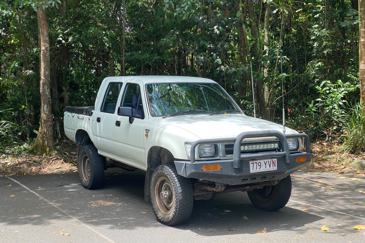
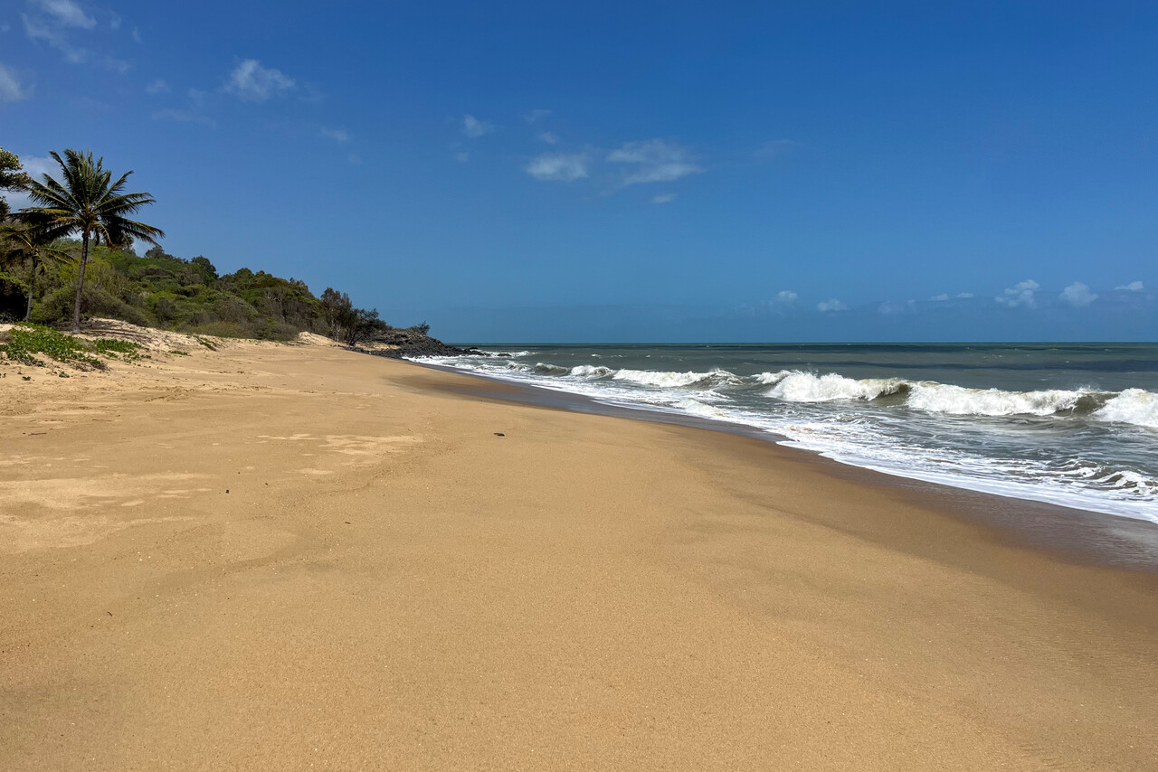
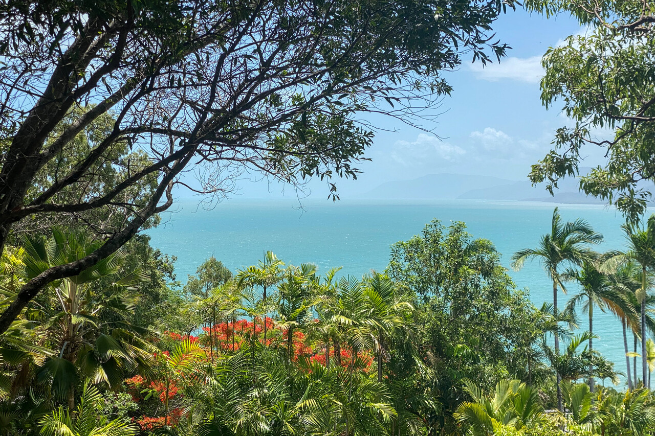
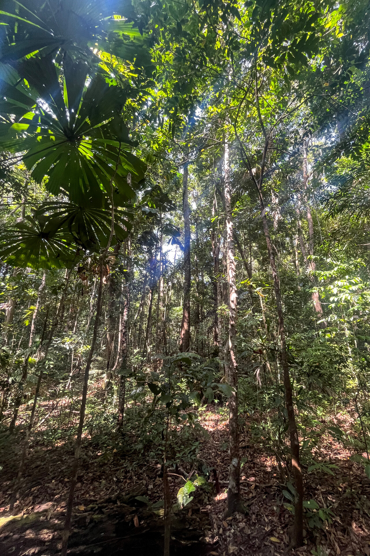
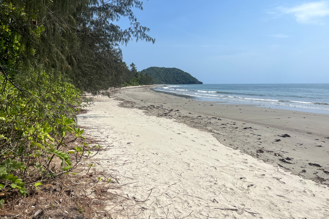
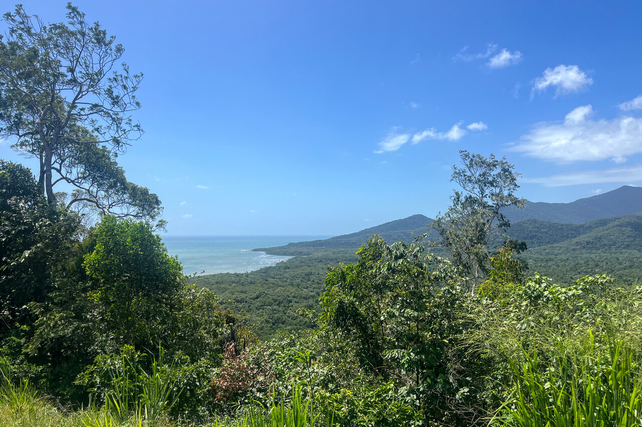
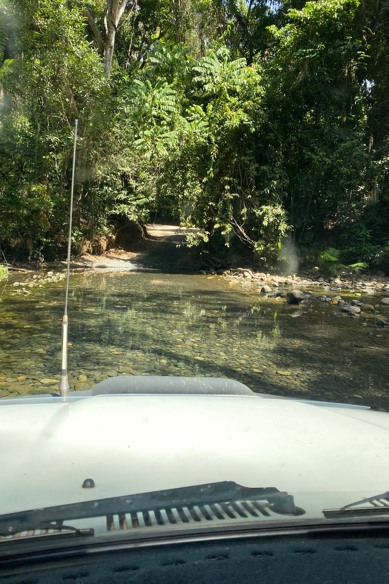
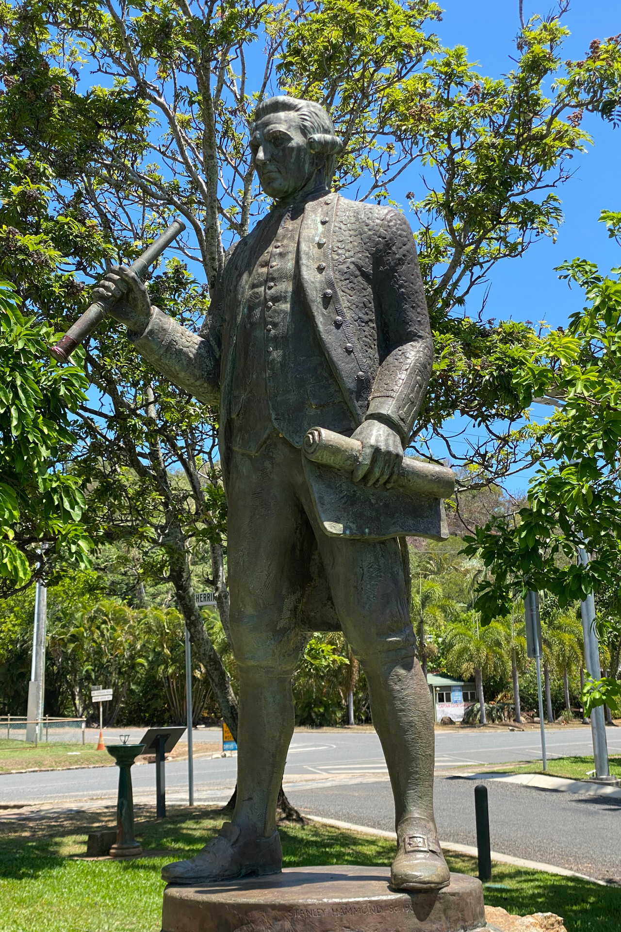
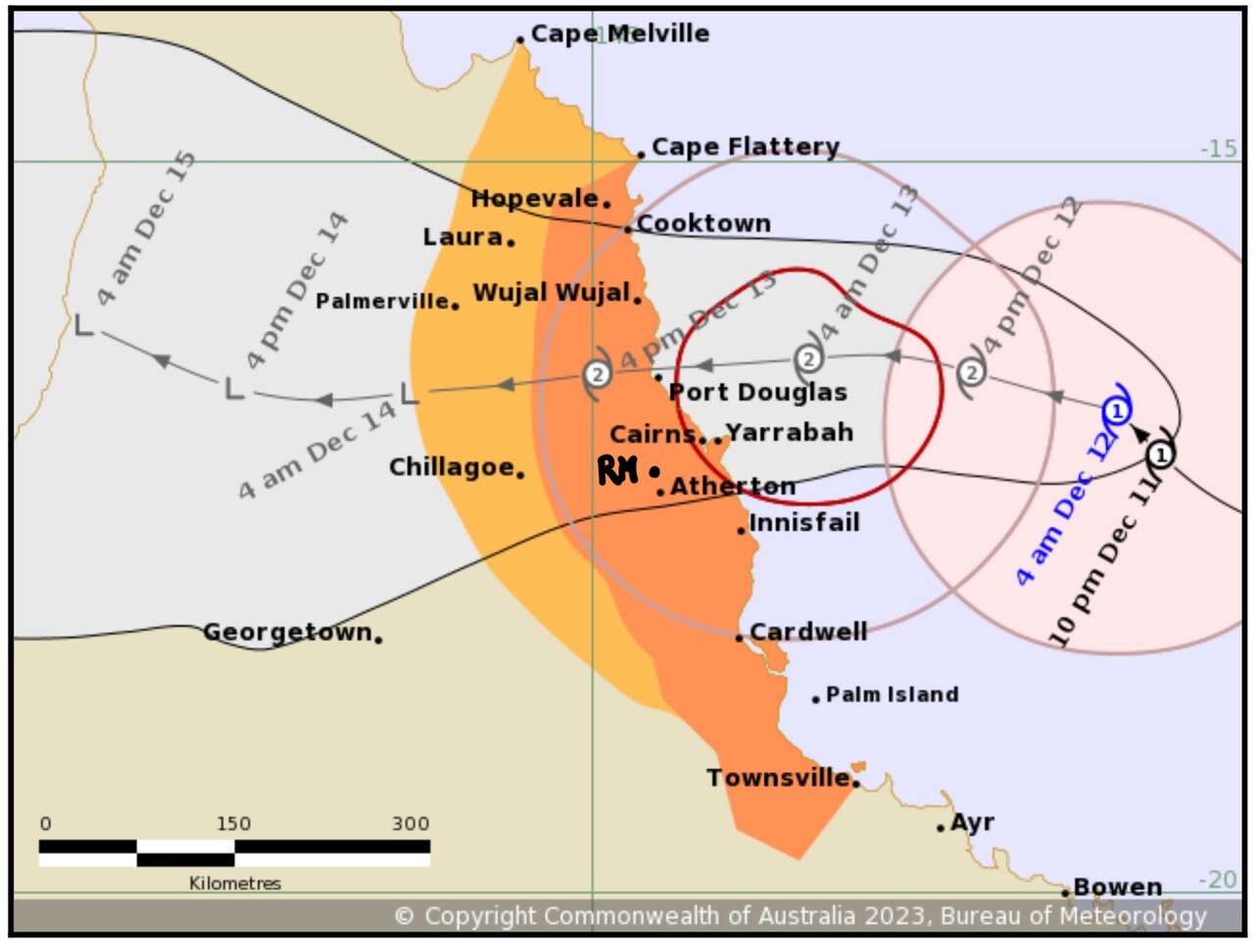
When we returned to Mareeba, the Australian Meteorological Service expected Jasper to hit the coast very close to Cairns. It wasn’t forecast to be a particularly strong cyclone, but most aircraft at the field sought shelter in a hangar. Jane and Simon had a friend with a private hangar and they asked him if there was space for a Mooney. No problem he said, his little Tiger didn’t occupy it completely. Even though we weren’t too concerned, it gave us a lot of peace of mind once we had pushed RM in and closed the hangar doors.
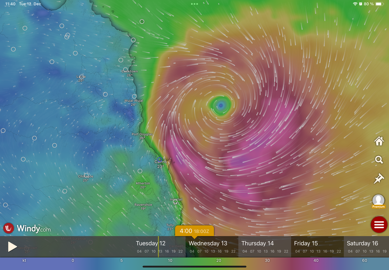
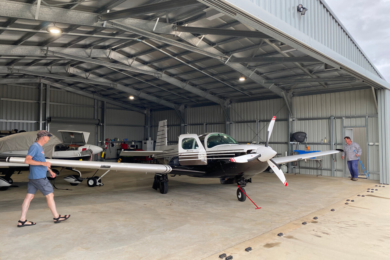
The day Jasper hit, everything was closed in Mareeba, all the shops, supermarkets and restaurants. It was a bit of an exaggeration, it was really windy and rainy but not any worse than a stormy autumn day in Europe. Jasper apparently was a wimp, but he wasn’t completely done with us yet. We took a tiny apartment and prepared ourselves for a wait. Our friends invited to their hangar and for dinner. During the day we drove around and visited sites that would probably be really nice in better weather.
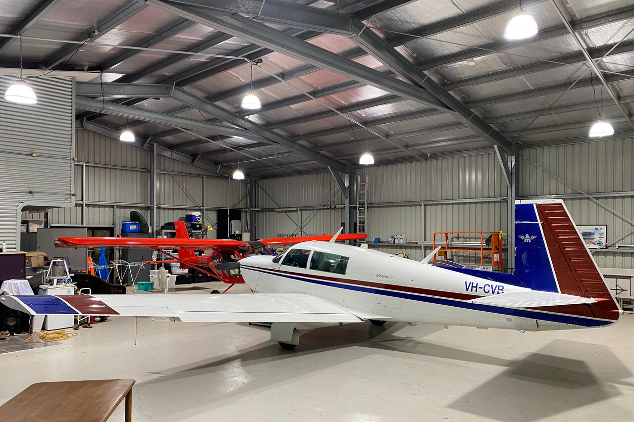
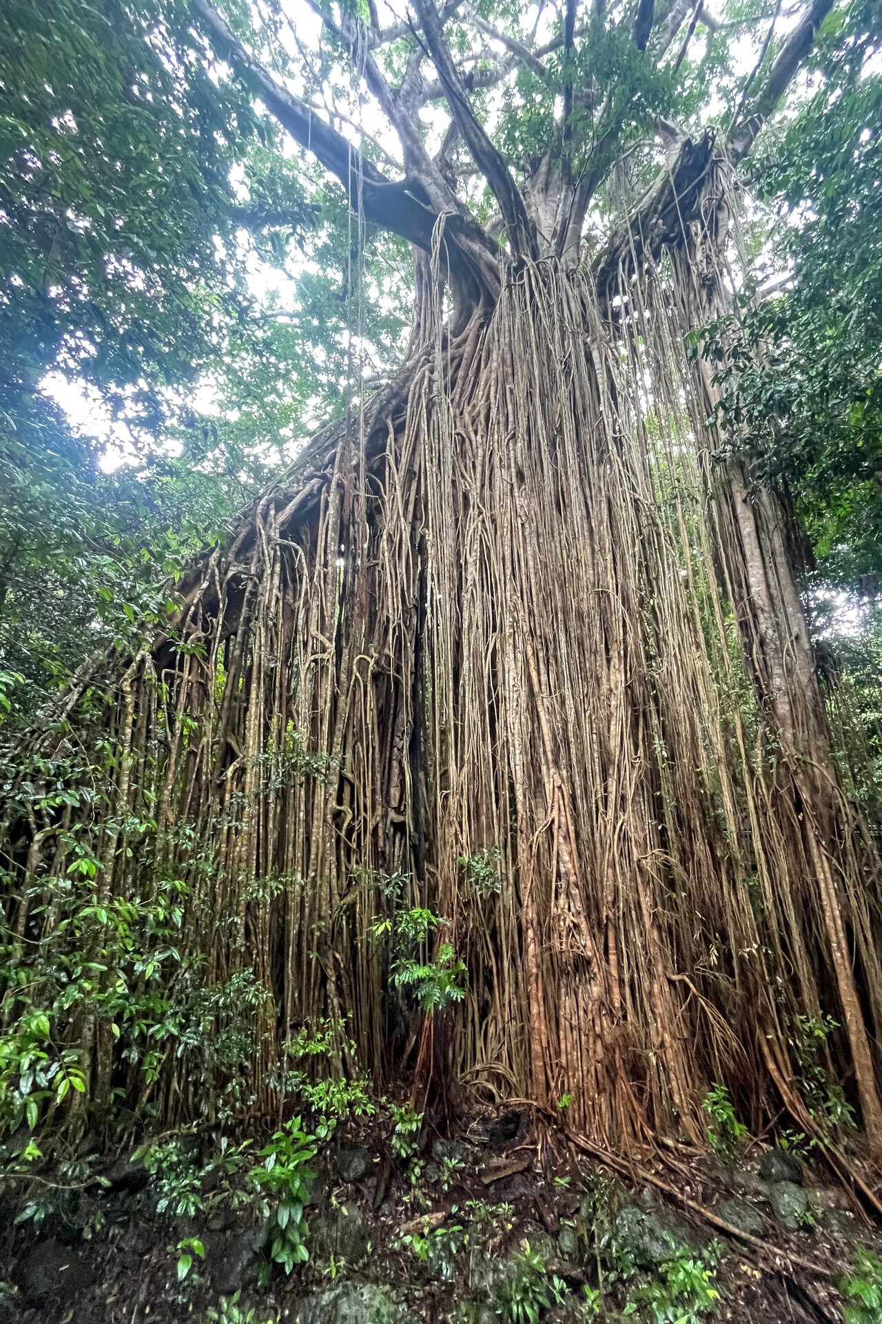
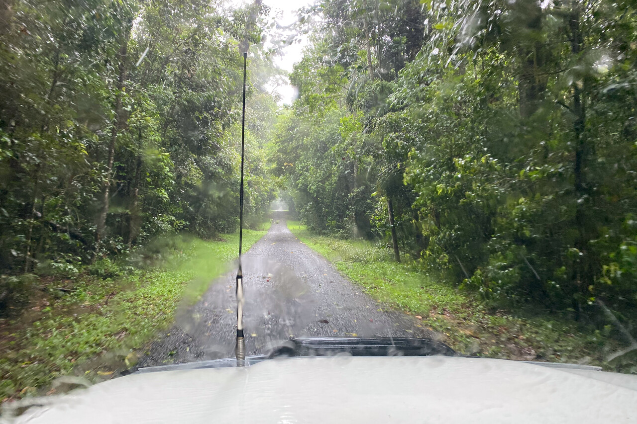
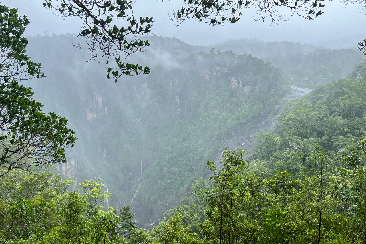
After two days Jasper showed what he was good at: he was persistent. The gusts even down in Cairns never exceeded 40 knots or so, but this system just didn’t want to move on. It rained and rained and rained. We tried to make the best out of it. One evening we cooked pasta in our apartment, the other evening we went to a Chinese place with our friends. We visited waterfalls in the rain that were only a trickle normally, so we were told. Still Jasper wouldn’t want to leave.
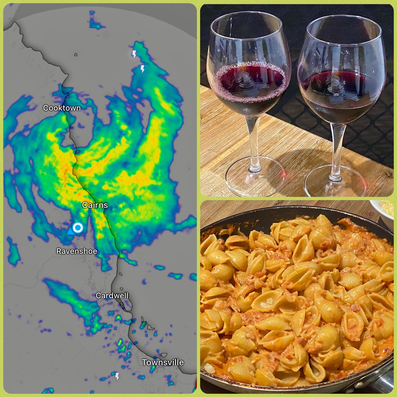
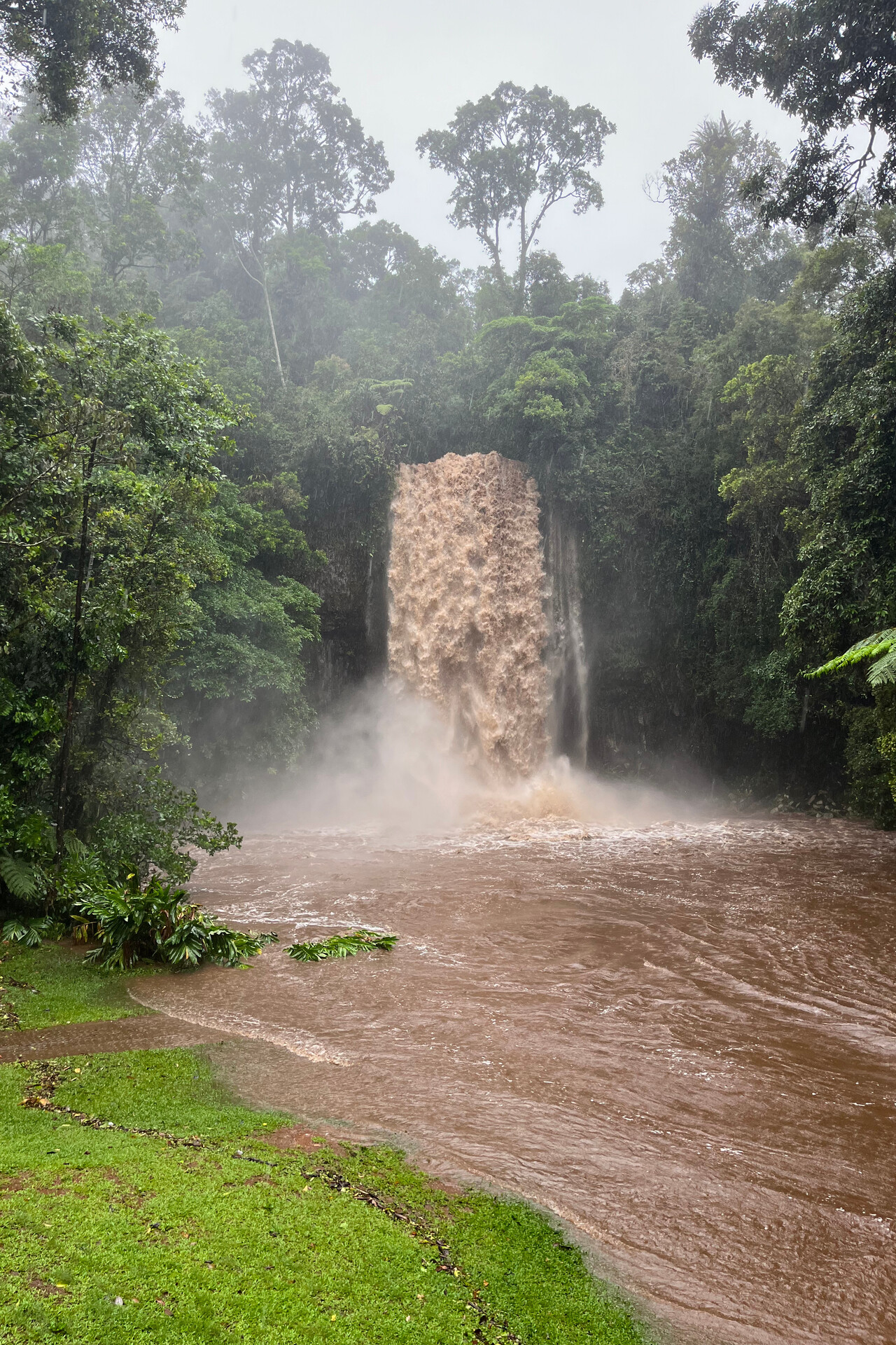
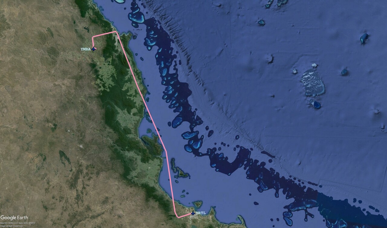
Of course we checked the forecast several times each day but it wouldn’t really improve. On the fifth day there were at least short dry periods and there were no embedded thunderstorms but the forecast for the next days was worse again. We decided it was time to leave for Townsville. This was a rather short hop but in contrast to the Cairns and Mareeba area the weather there was supposed to be nice the next days. Our friends met us at the hangar but we had to wait for a while for the rain to get at least a little weaker.
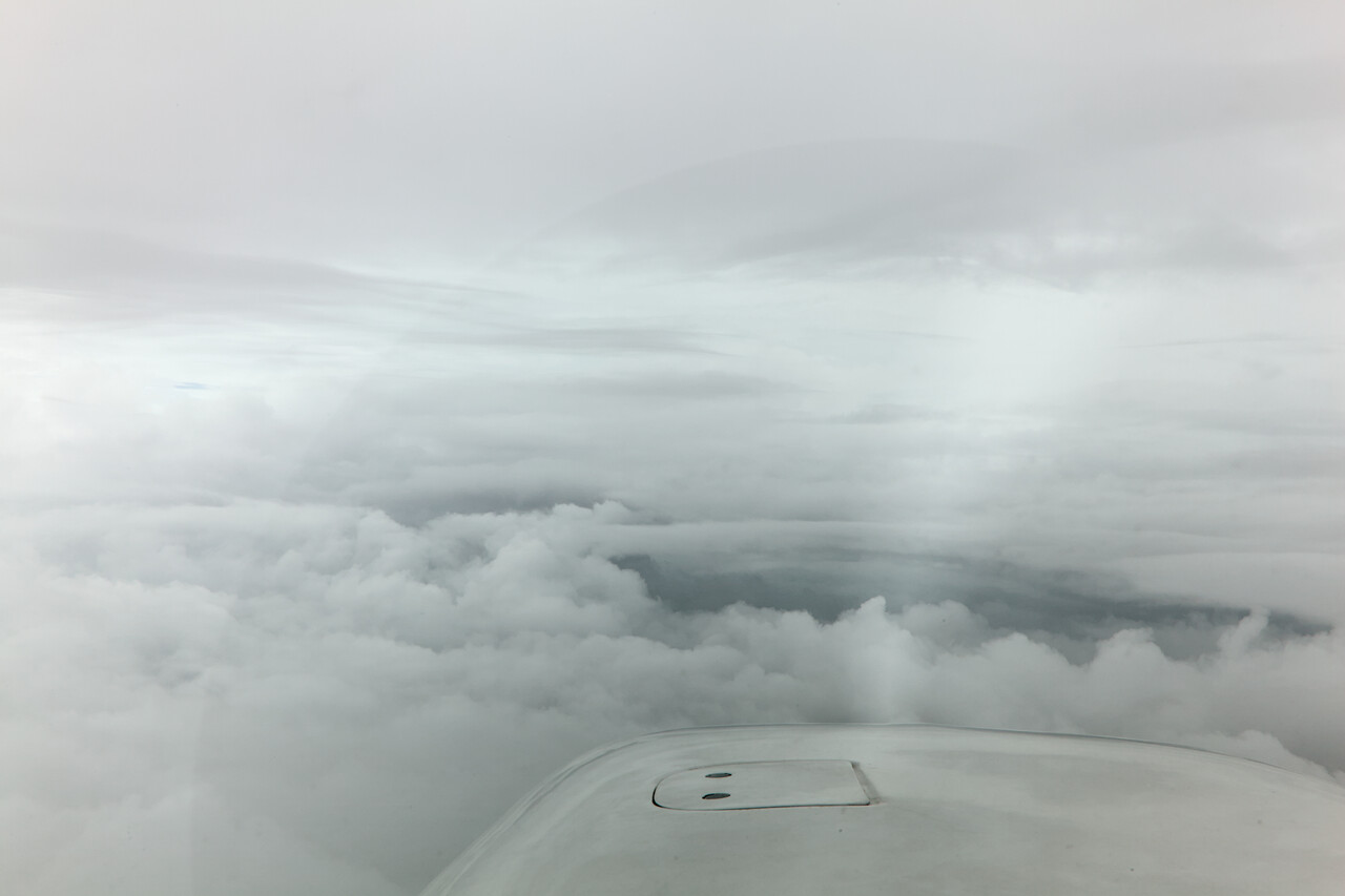
We had filed IFR of course and it wasn’t the most pleasant flight. We had to depart into a heavy shower and were in IMC for most of the time. Clouds weren't too far above minimums at our destination, but at least it wasn't windy.
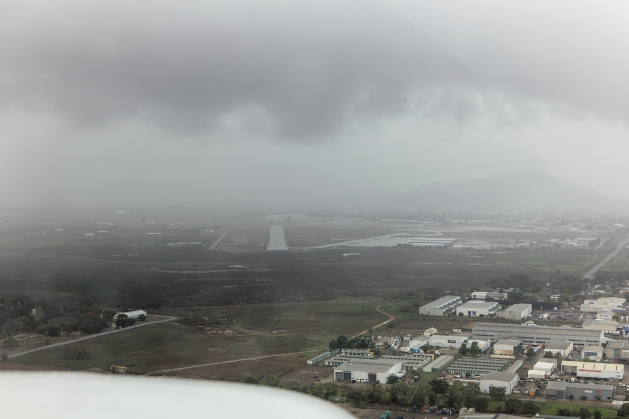
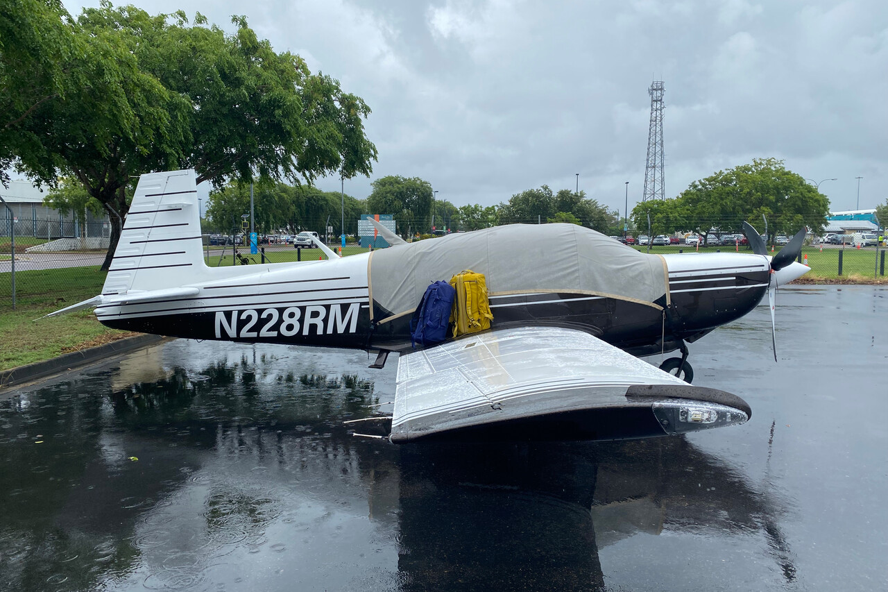
It proved to be the right decision to leave the area in hindsight. Jasper stayed for a couple of more days and still wasn’t short of rain. In fact the airport in Cairns was closed the next day because it was flooded, it didn’t reopen for several days. It kept raining at our friends’ place as well, but they didn’t suffer from any serious damage.
Townsville to Brisbane via Shute Harbour and the Great Barrier Reef
Townsville is not Australia’s prettiest city, but at least it didn’t rain all the time. Moreover, there is Magnetic Island just off the coast. We didn’t want to fly the next day, as the weather still wasn’t forecast to be great, so we went there instead. The island got its funny name because Captain Cook suspected a magnetic anomaly when he sailed by. However, there is none, maybe he just took a cross-eyed look at his compass. Anyway, there are nice views and beaches and hiring a scooter makes for a fun day.
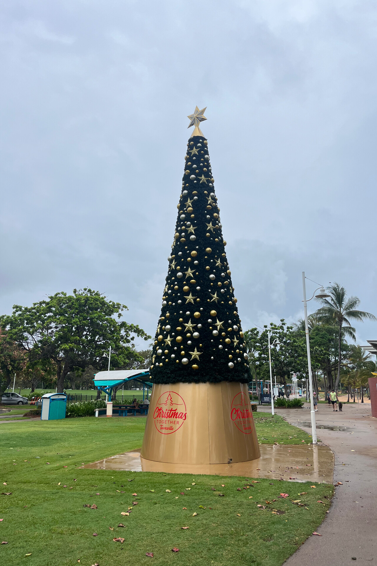
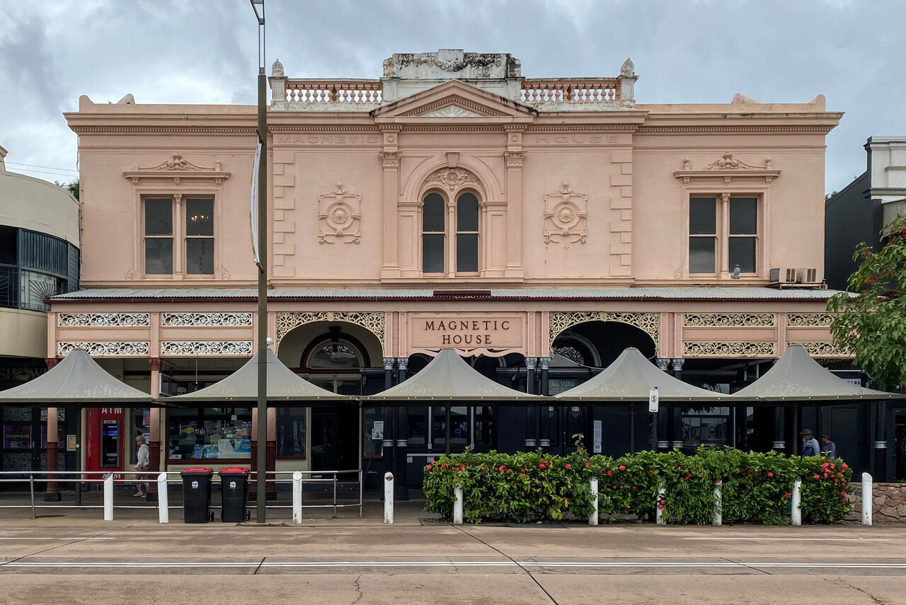
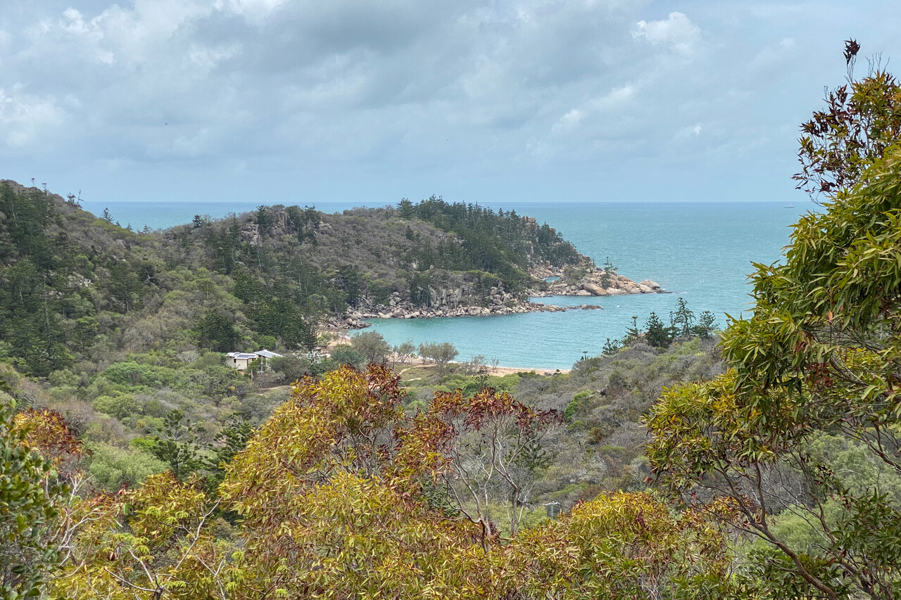
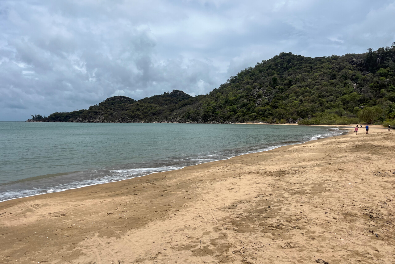
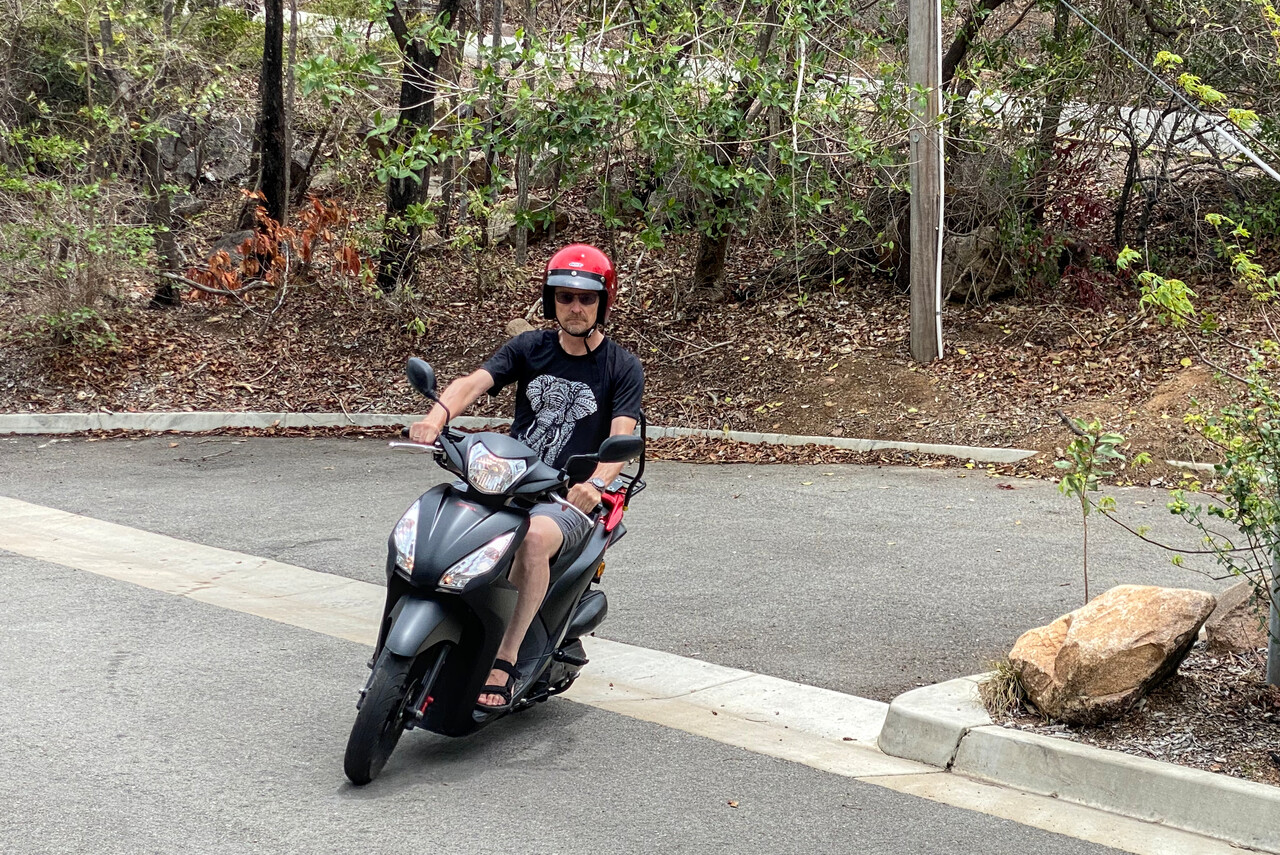
The next day weather still wasn’t as great as we had hoped for, but as we had already been waiting for so long, we didn’t want to lose another day and so we set out for our first reef inspection.
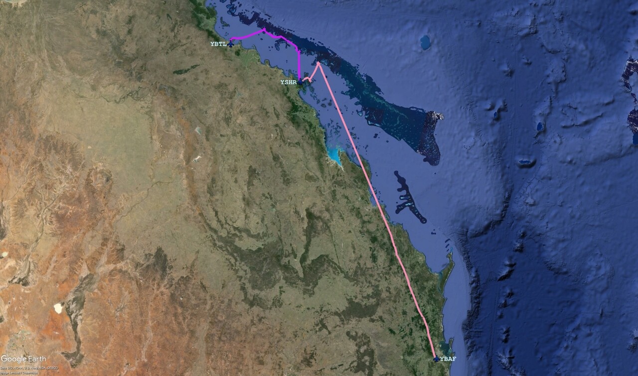
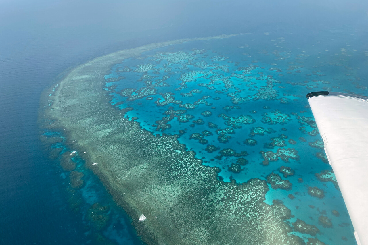
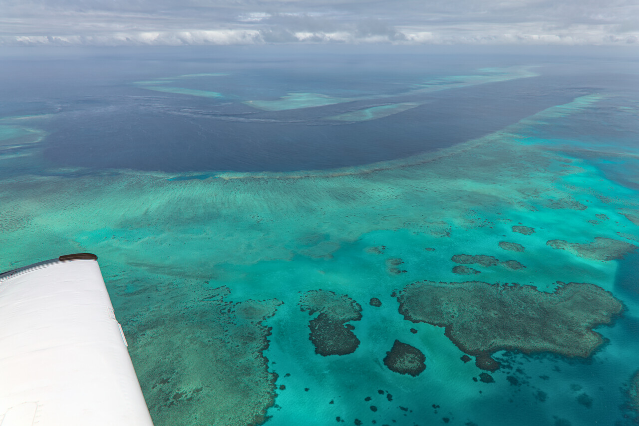
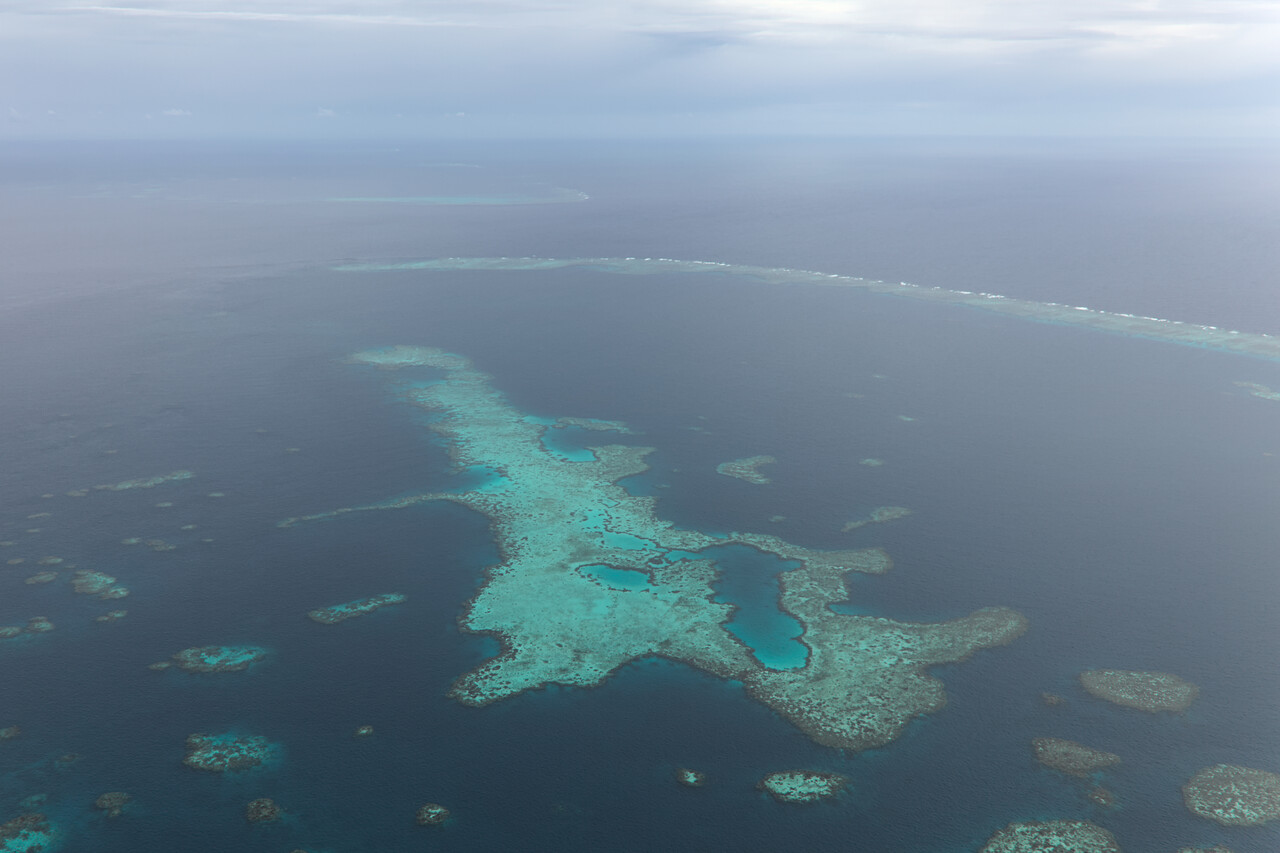
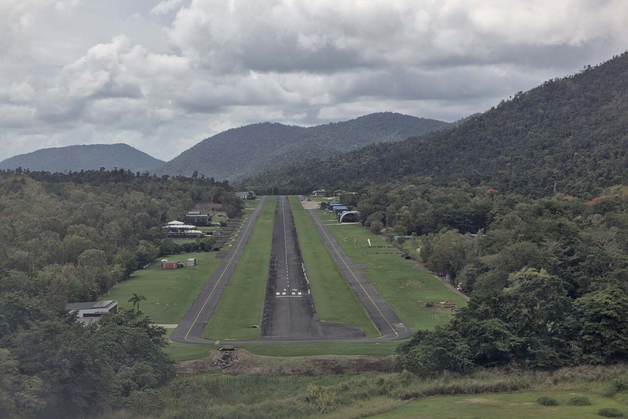
Our destination was Shute Harbour, YSHR, a place Australian Mooney friends highly recommended. In fact it’s a lovely airfield with an interesting approach as the runway is situated in a valley in the coastal hills. From Townsville we flew over Magnetic Island out to the reef. I tried hard to get some good shots but the reef isn’t that spectacular under an overcast sky.
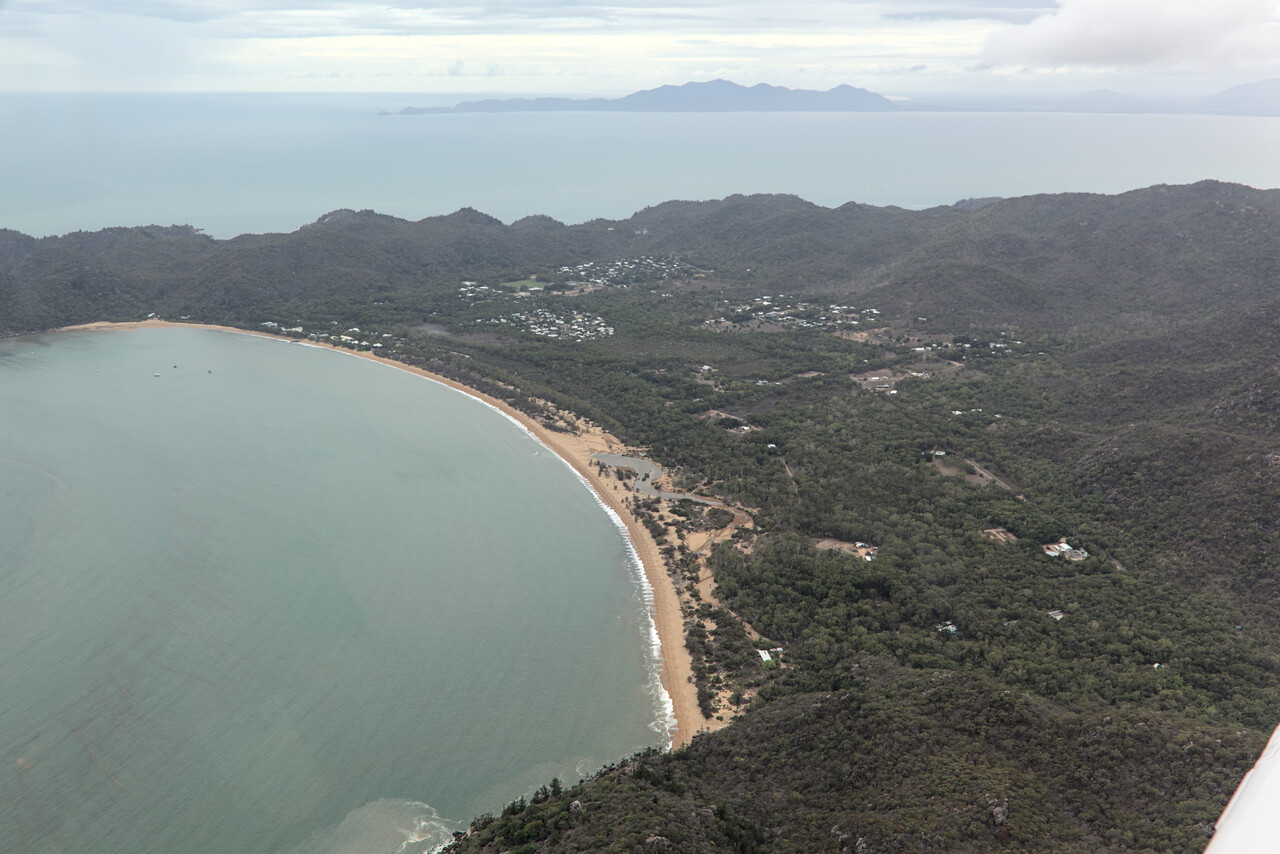
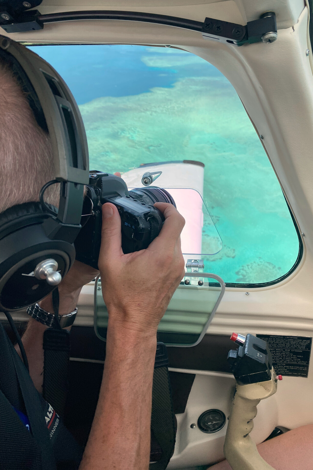
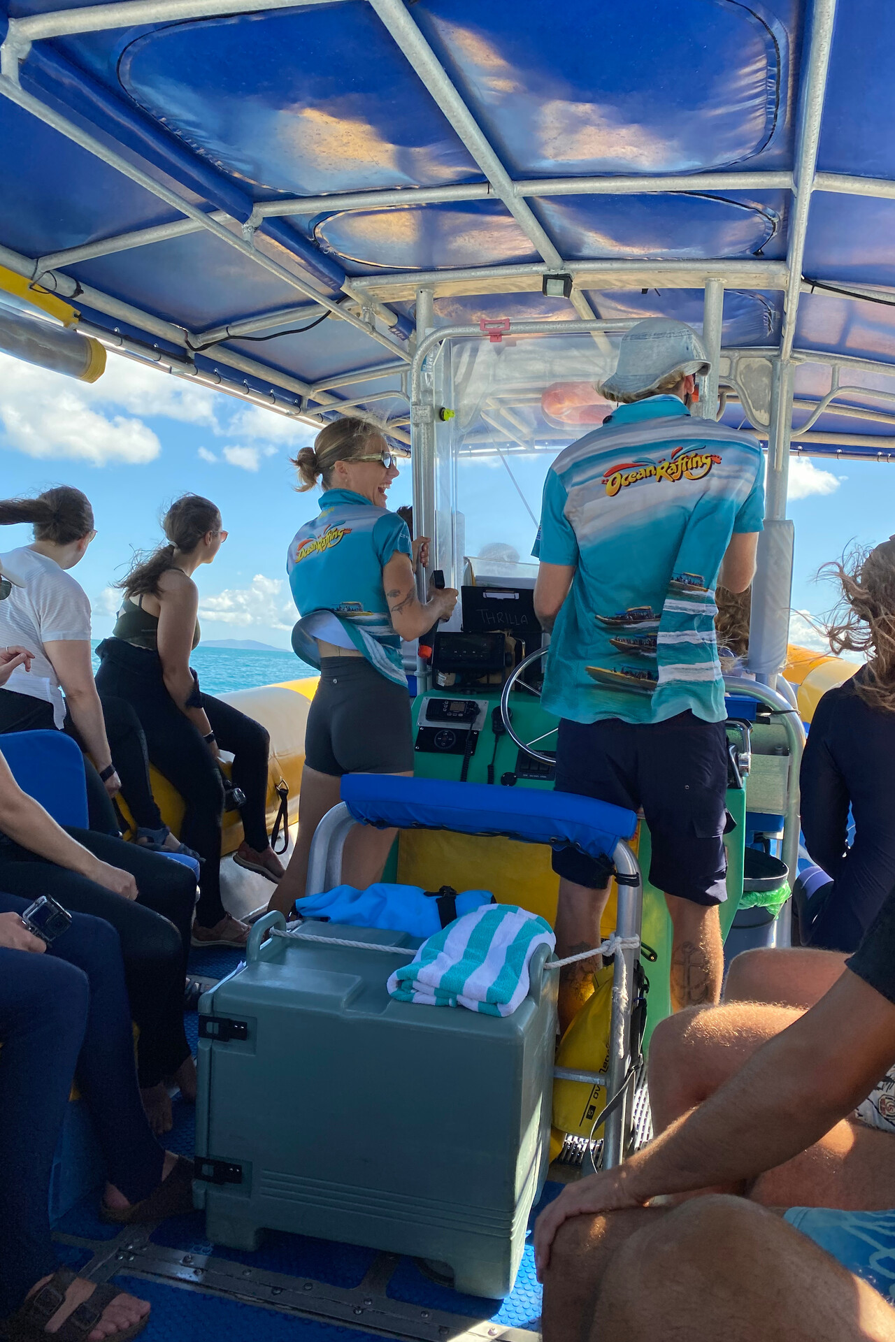
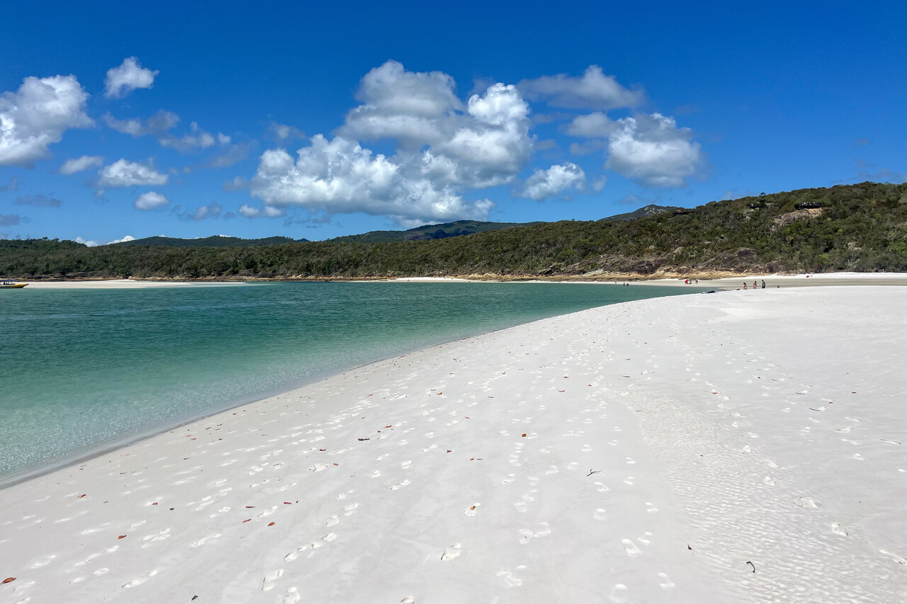
We took a public bus from the airfield to nearby Airlie Beach where we spent two nights. It’s a lively tourist town that caters to a young crowd. We booked one of the many tours on offer that take you out on a boat. Ours went to Whitehaven Beach on Whitsunday Island and stopped at two reefs for snorkeling. We were still in stinger territory and therefore had to wear protective suits. We felt a bit old on this tour, as the majority of the other clients were about half our age, but it was fun anyway.
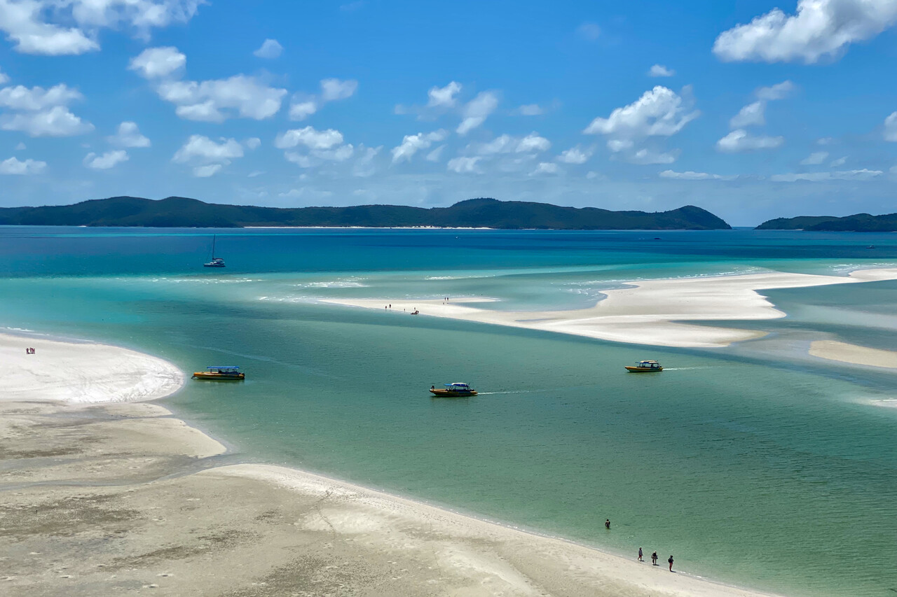
The leg from Shute to Brisbane’s Archerfield airport, YBAF was rather long and we added some flight time by heading out to the reef once again. This time however, we had great weather and the scenery was spectacular. I had talked to the tour pilots at Shute and they gave hints where they usually fly to get nice shots of the reef.
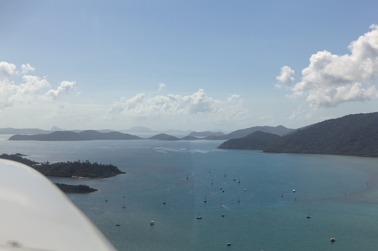
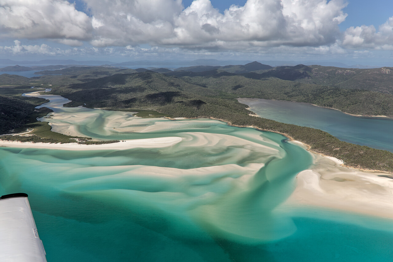
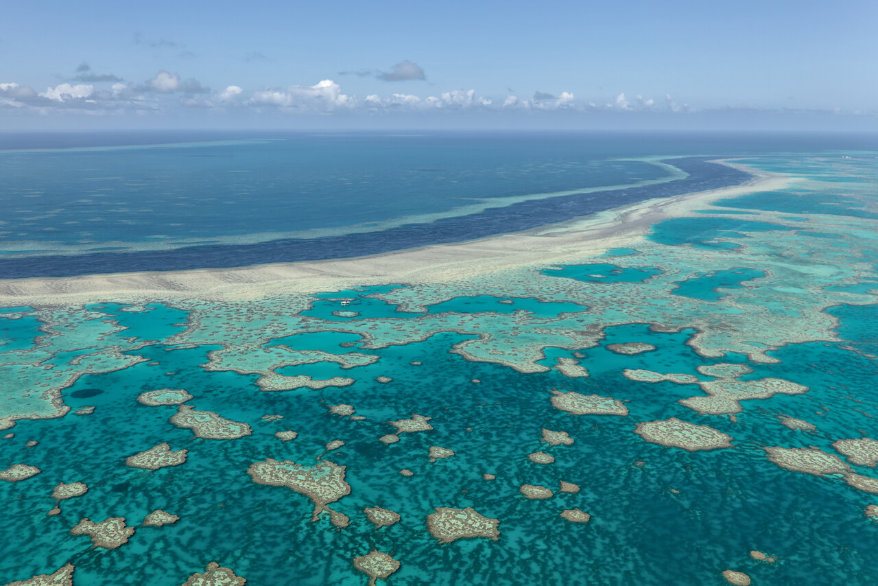
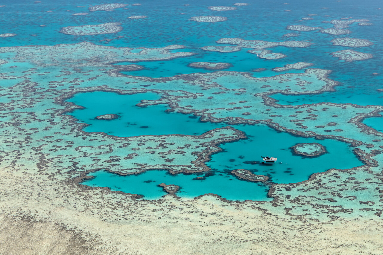
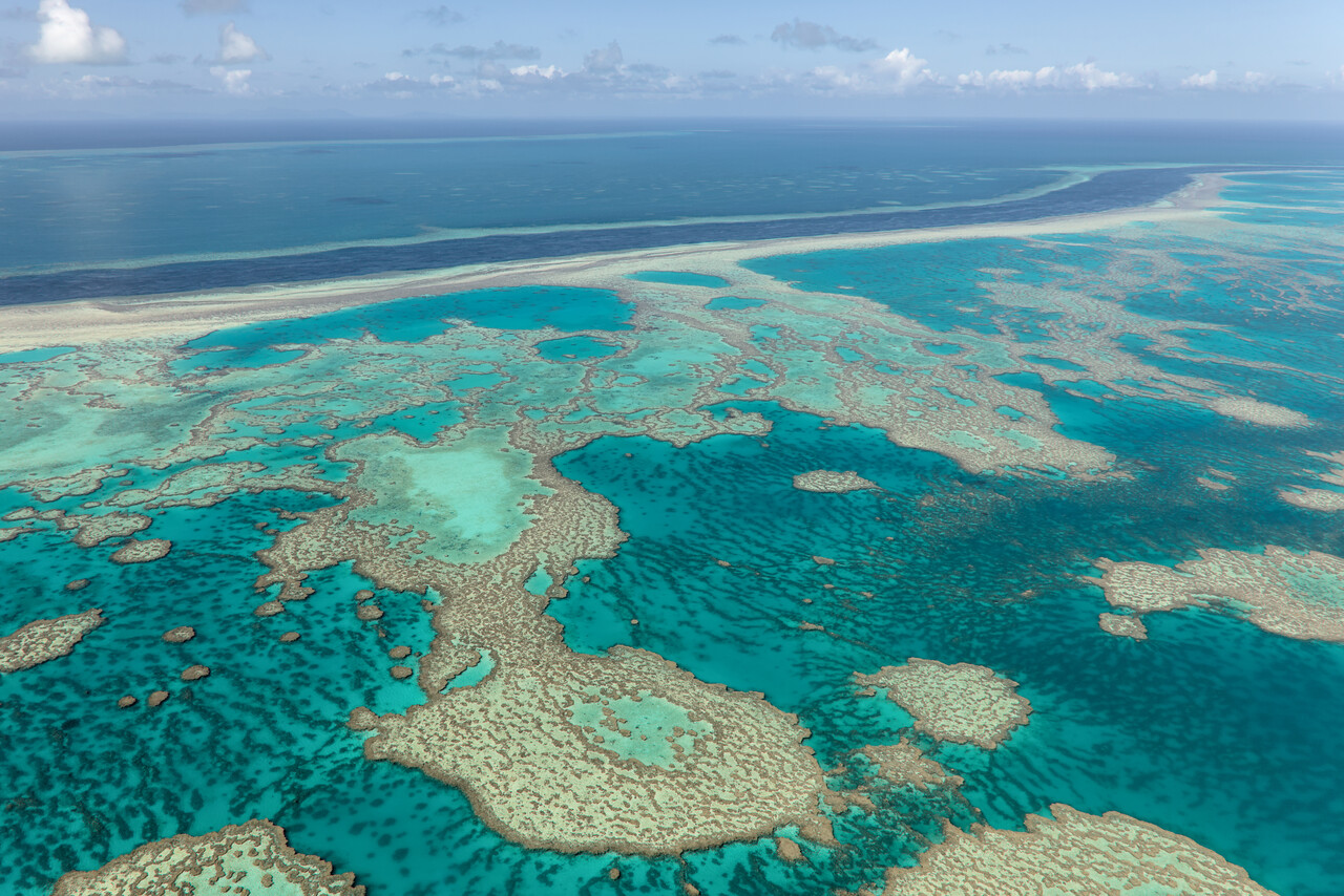
While we had explored the reef from a thousand feet, we climbed to 9500 feet for the remainder of the flight but still got nice views of the coast. Archerfield is the GA airfield of Brisbane and it’s a busy place with all sorts of traffic, but it’s controlled so it doesn’t get too chaotic. Unfortunately the weather deteriorated again once we came closer to Brisbane.
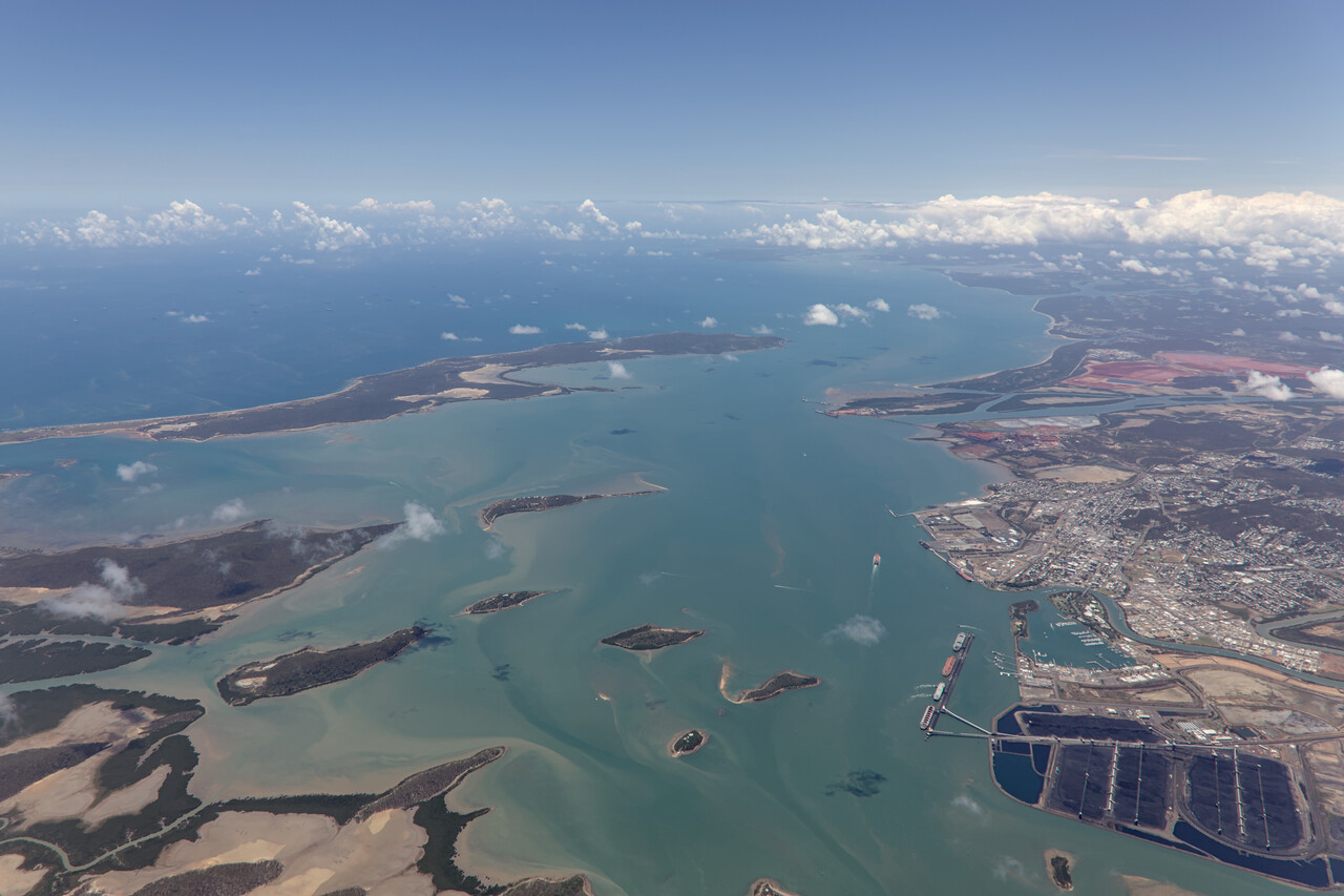
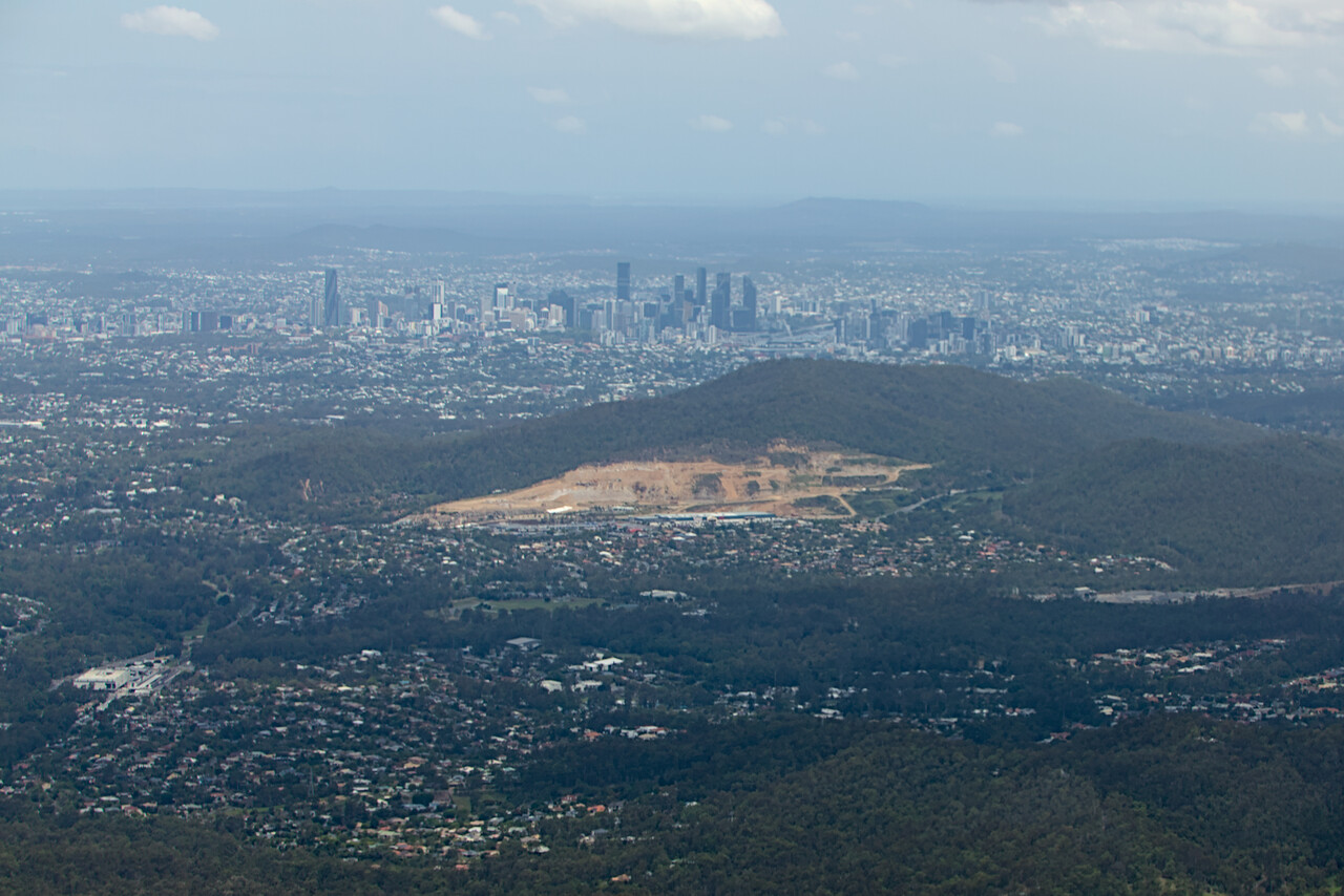
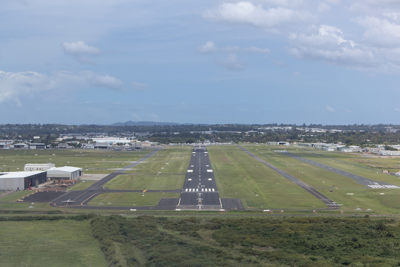
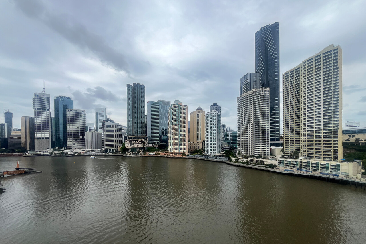
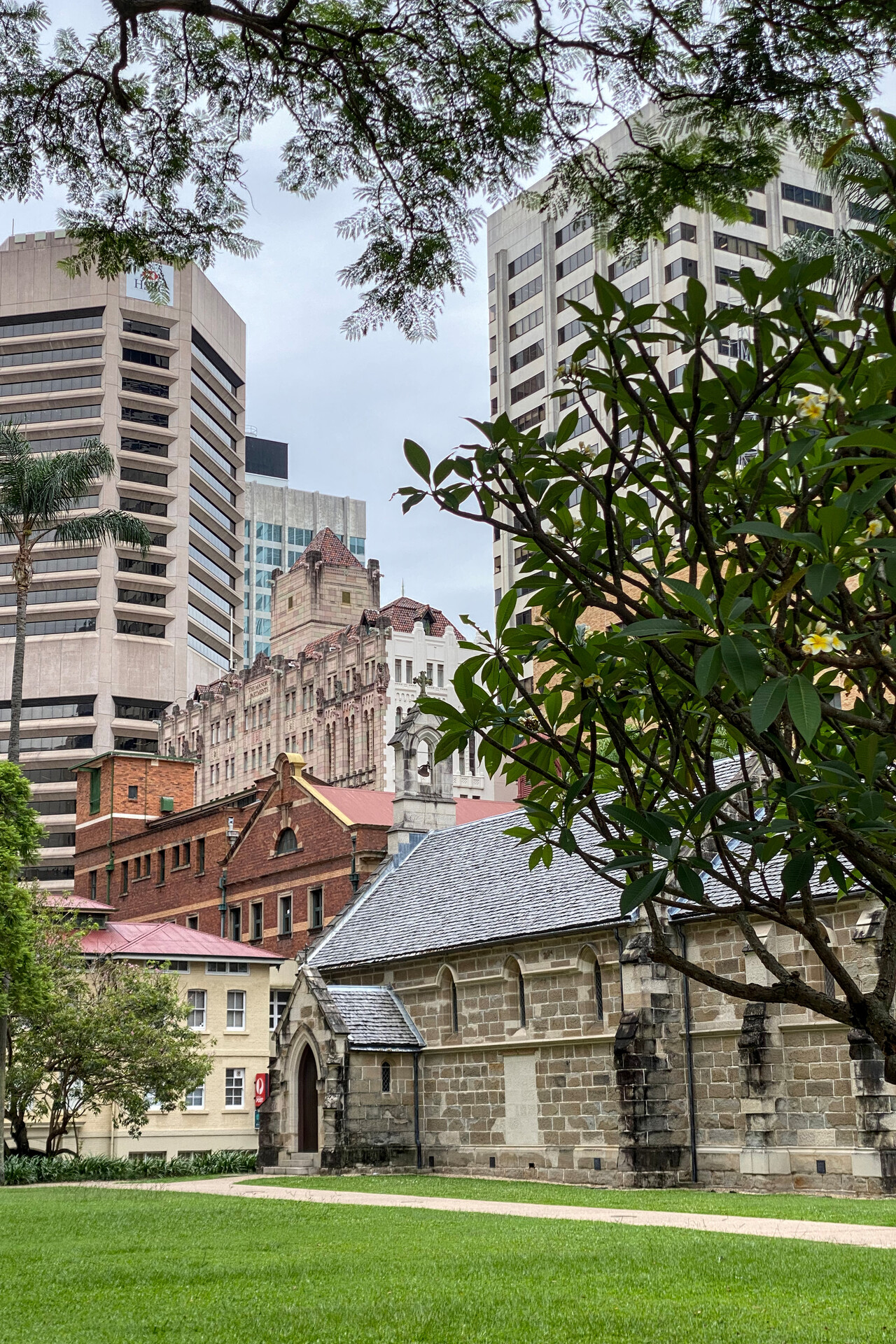
Brisbane is Australia’s third largest city but it has always been standing in Melbourne’s and Sydney’s shadow. It’s a pleasant place though, with architecture from all time periods, nice restaurants, good hotels and lively pubs. We spent two nights there, before we continued down to New South Wales.
Down the coast of New South Wales
We met old and new friends at all our stops along the coast of New South Wales. Unfortunately weather only partially cooperated on all these legs. Our first destination was Port Macquarie, YPMQ, about two hours south of Brisbane.
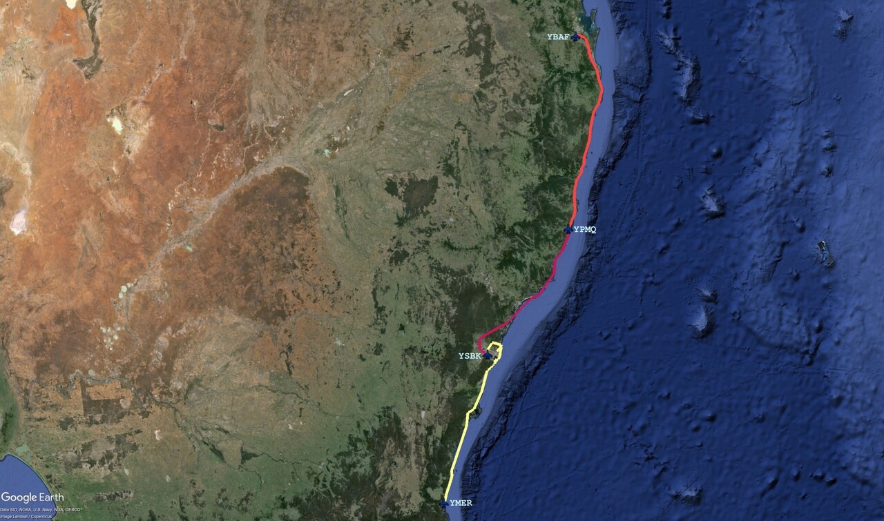
We left Brisbane in light rain but weather improved a bit further south. We came along some of Australia’s prime vacation destinations as well as the easternmost point of our journey. Unfortunately all this didn’t look that pretty in the rain.
YPMQ is quite busy, much more than we expected. Not only were there several student pilots flying around (from all parts of the world I’d guess by their accent), there was also commercial traffic arriving from Sydney. A little Mooney from Europe managed to sneak in as well, and all that self-organized by means of aircraft to aircraft communication.
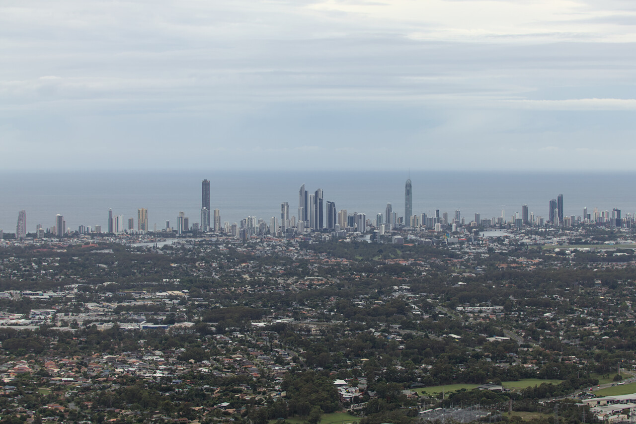
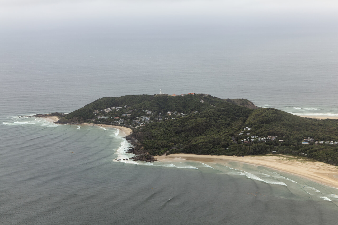
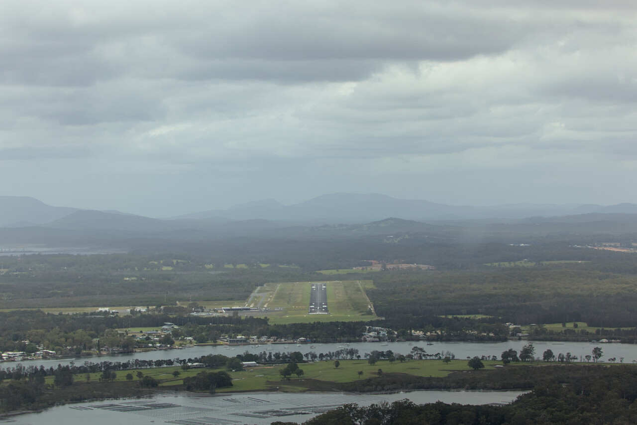
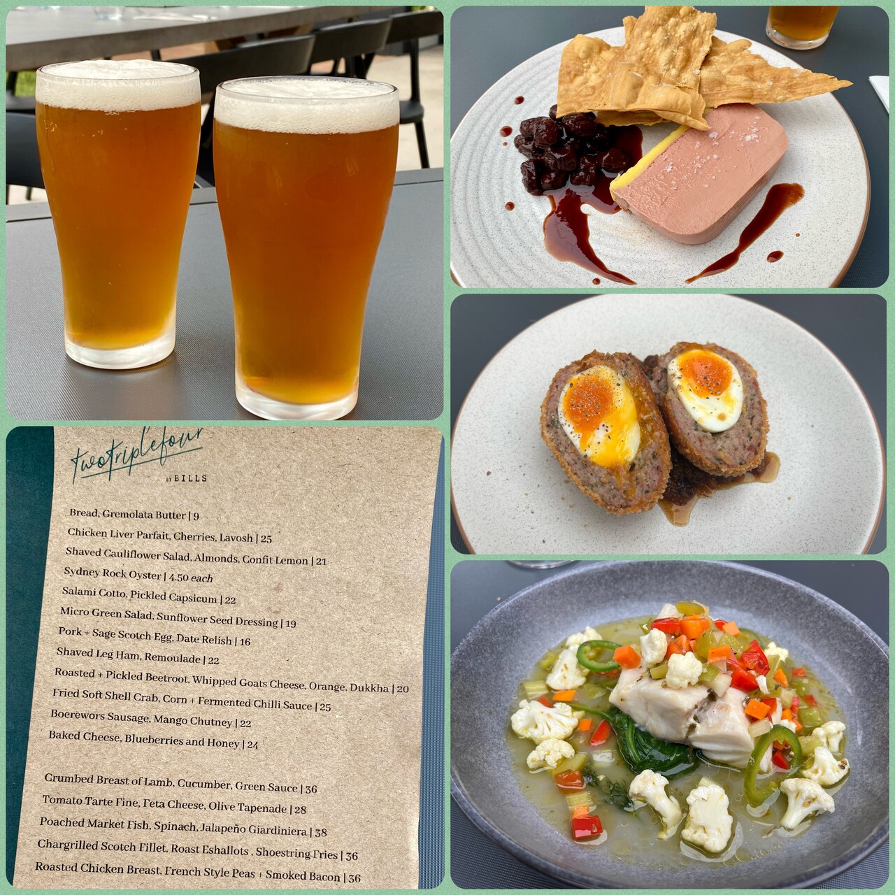
We met a close German friend at Port Macquarie who was visiting the Australian part of her family for Christmas. The town itself isn’t that special, it’s full of tourists and many Australians move here after retirement, but the beaches immediately to the south are spectacular. Moreover, one evening we found an exceptionally good restaurant for dinner.
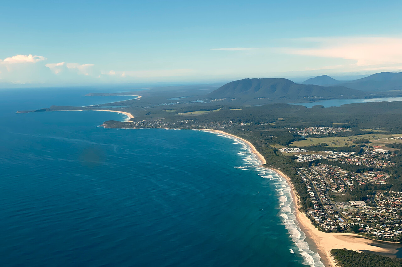
To visit Sydney almost everybody flies to Bankstown, YSBK, the city’s GA airport and so did we. The AD is controlled and usually very busy, but we arrived on Christmas Eve.
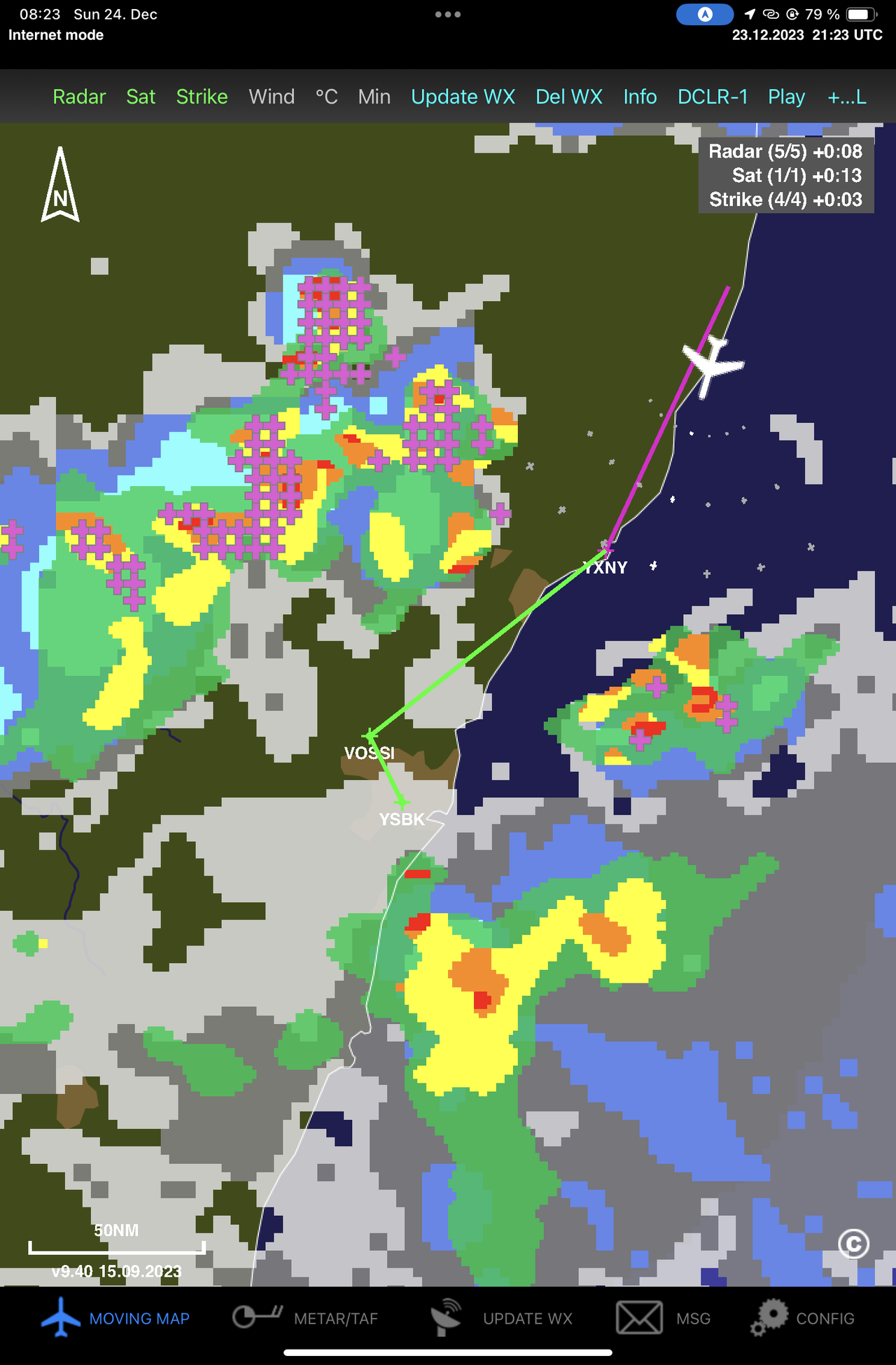
Weather was fine when we left YPMQ but it was forecast to be very convective. As always in such a case, we had the choice to either fly VFR, stay below the clouds and try to find a way, or file IFR, climb really high and hope to avoid the CBs up there. We opted for the former and it seemed to work nicely. There were storms on either side of the route as we could see on the ADL (which works fine in Oz 😀), but our way was clear. YSBK is located to the West of Sydney’s big airport and to get there VFR, one has to fly a prescribed corridor rather low over some hills. We had requested flight following and the controller informed us that according to his weather data it would not be possible to fly the corridor and asked if we wanted to divert. We didn’t and therefore asked if we could change flight rules. That was not a problem. We were in Golf anyway, but he suggested a point to track to and cleared us into CAS shortly after. Very good and friendly service! We had to climb of course and were in the murk for a couple of minutes but when flying the RNP approach into Bankstown, we broke out of the clouds at a comfortable height.
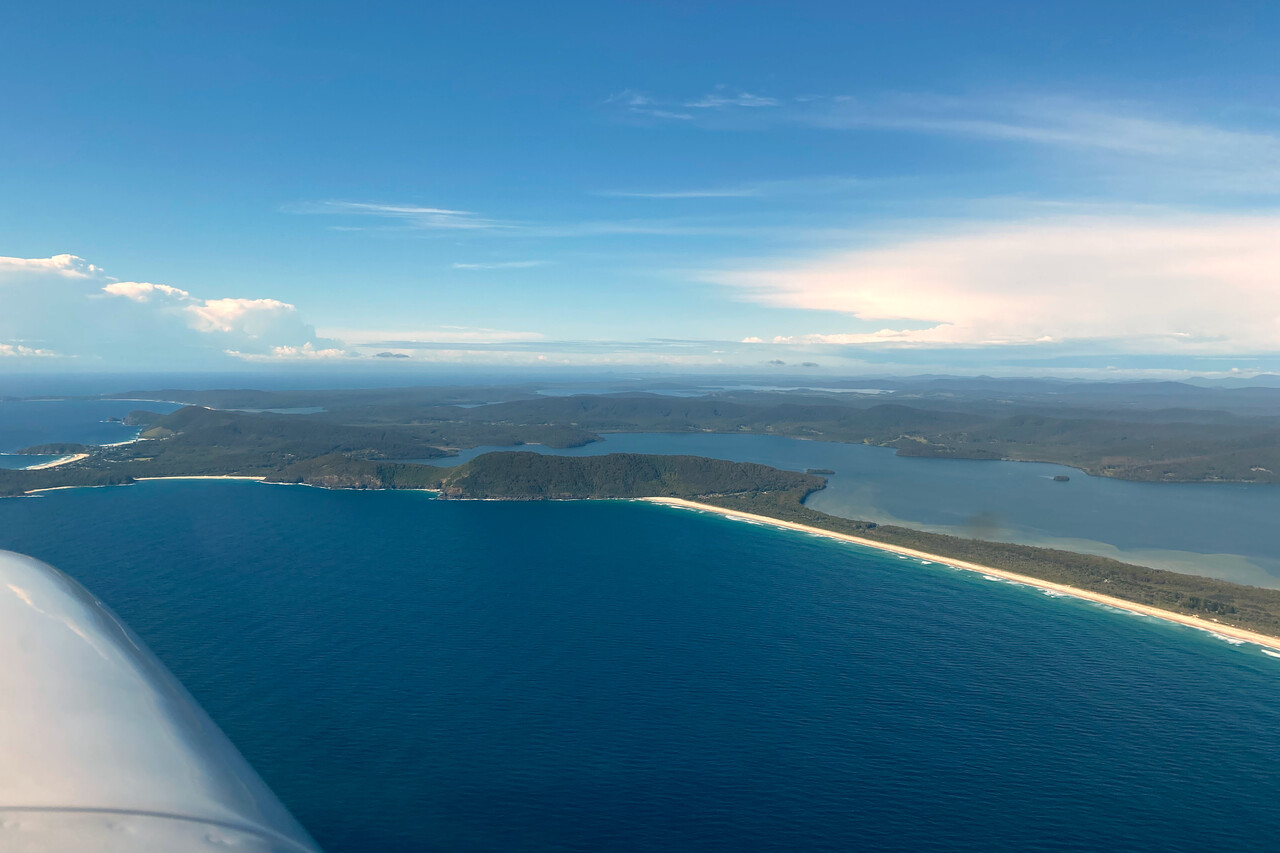
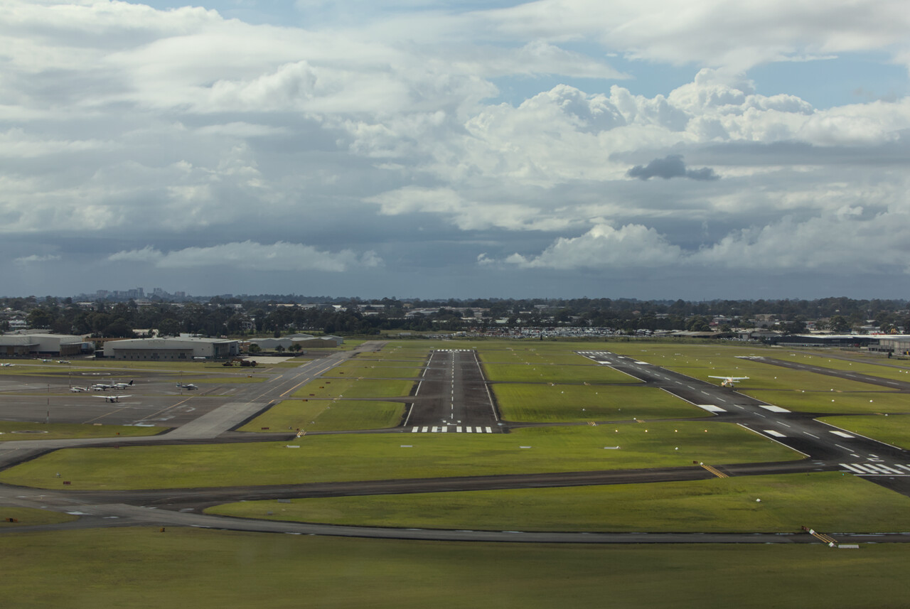
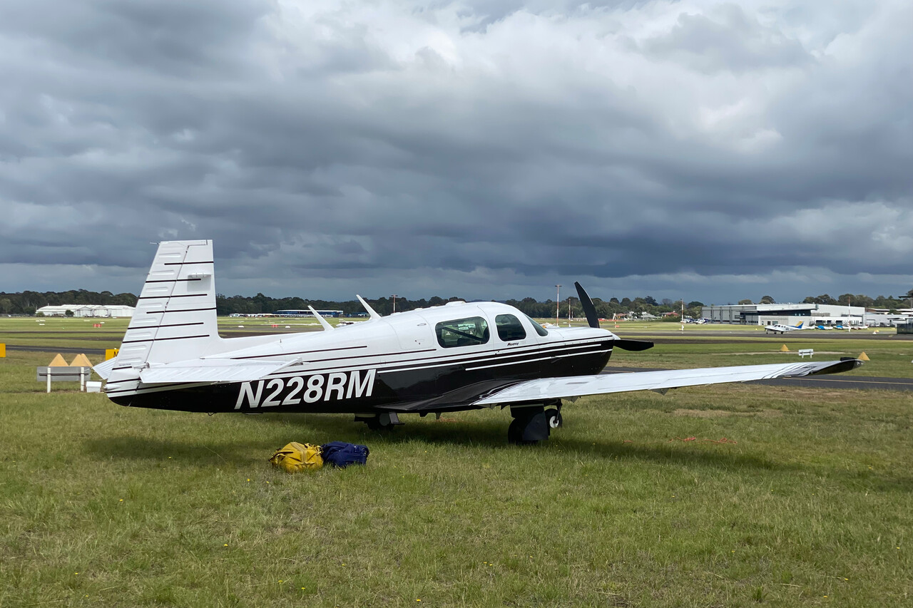
While most people enjoy the Christmas days back home, it’s a difficult period when traveling at least from a practical perspective: all shops and restaurants are closed, hotels offer only a minimal service or even close completely.
To escape these problems, we had organized a rental car and had booked a nice Airbnb apartment in the suburb of Ashfield, between Bankstown and Sydney. We went to a supermarket to buy a few supplies along with a bottle of wine and had a peaceful Christmas Eve.
Sydney would be just another nice New World city if it wasn’t for its unique setting and spectacular landmark buildings. We thought we would have the city to ourselves on Christmas Day but of course we were wrong. Though most businesses were closed, the place was packed with tourists. Anyway, it was a warm and sunny day and we enjoyed our stroll around the center.
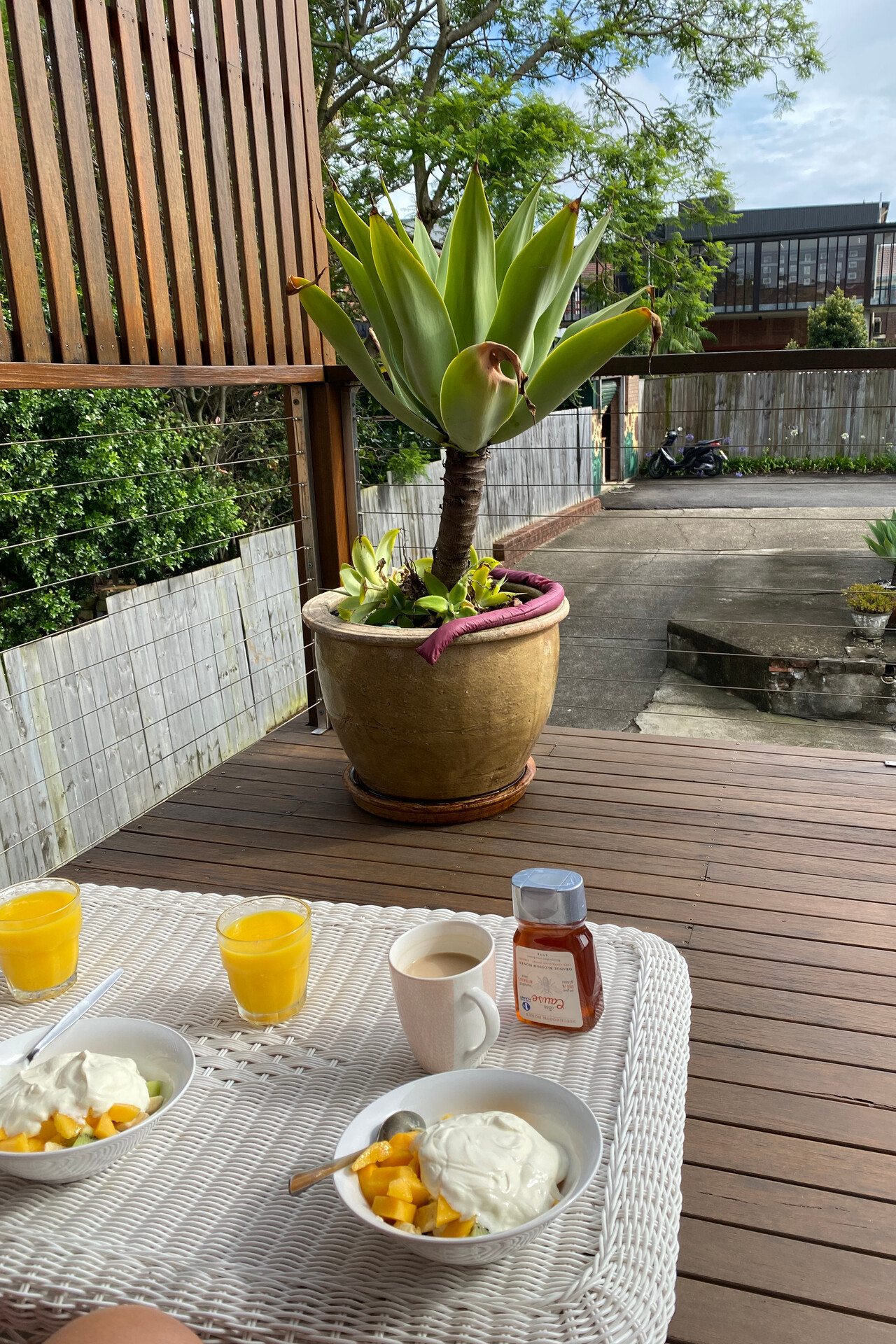
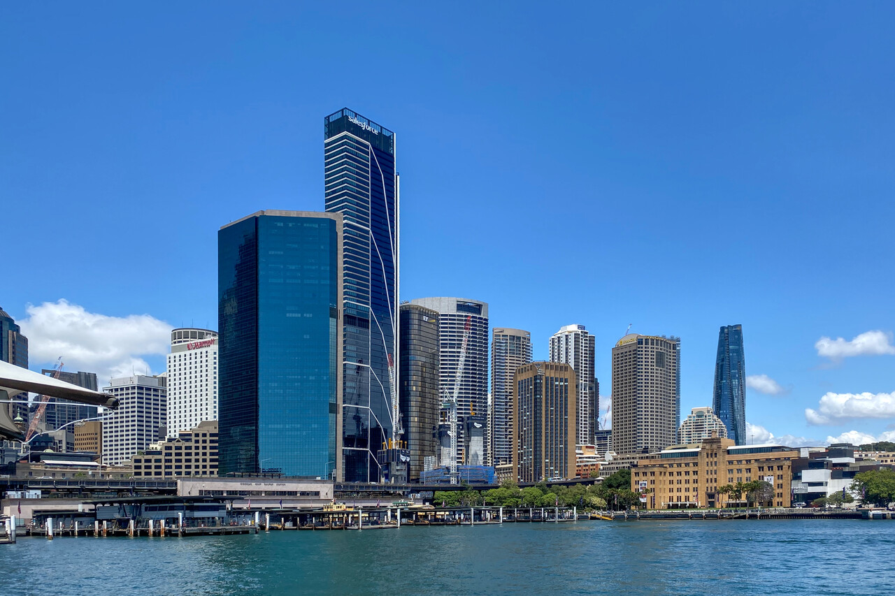
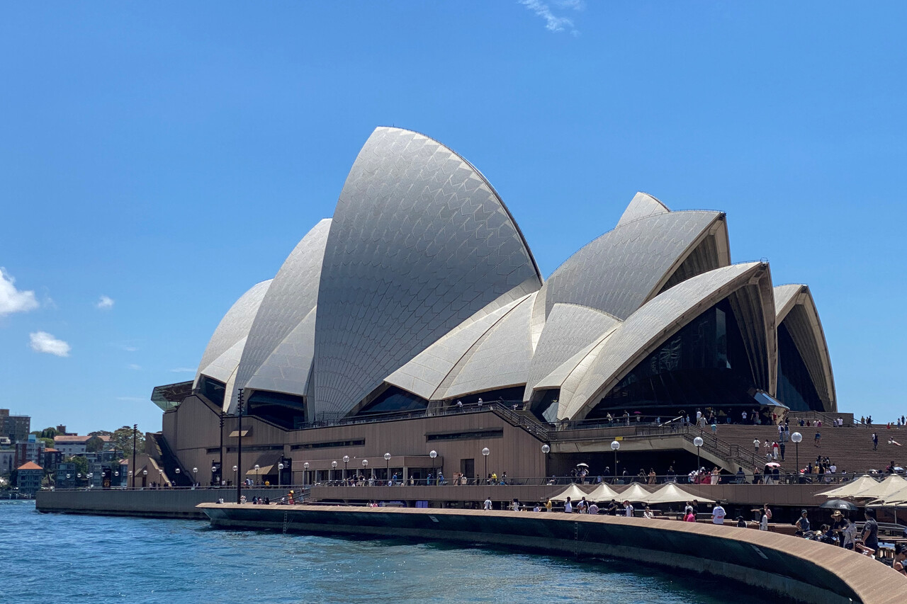
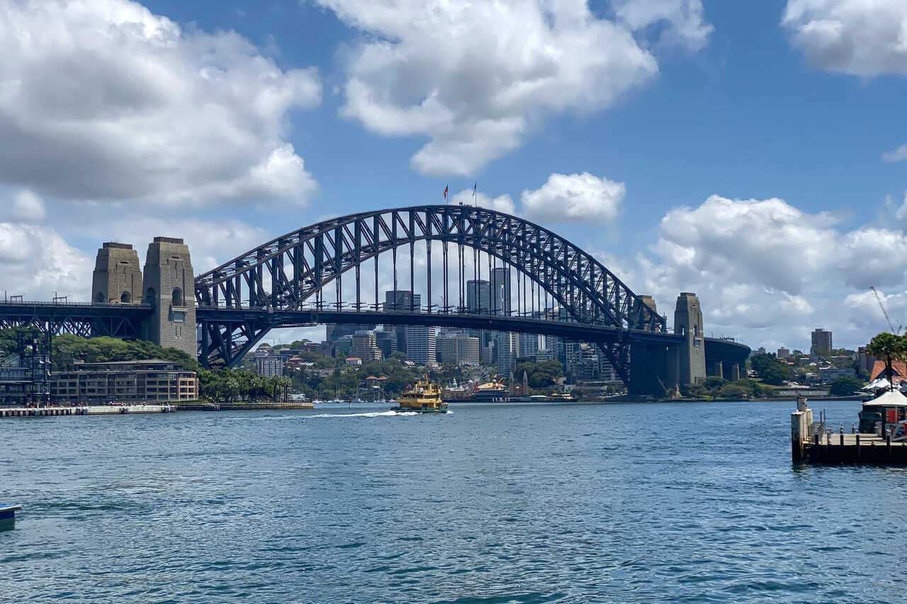
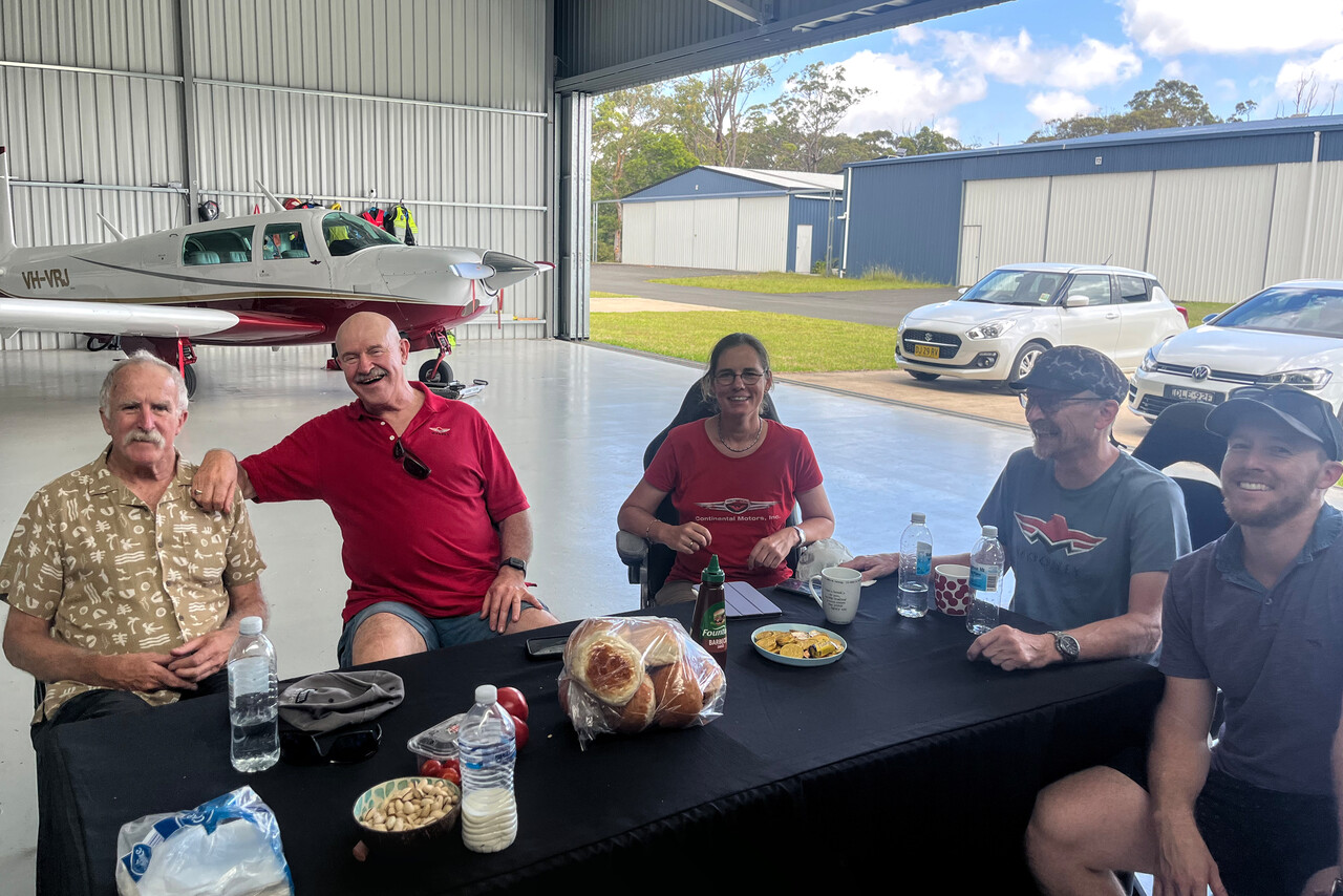
On Boxing Day we were invited to a hangar barbie by fellow Mooney pilot Victor. We got in contact via Mooneyspace and he had invited us weeks before. We spent a very pleasant afternoon together at a private strip a few kilometers to the west where his beautiful J model lives in a posh hangar. Victor was kind enough to pick us up at the car rental company the next morning and drove us over to YSBK. Of course, he took the chance to inspect RM there 😀.
Flying over Sydney Harbour was on our bucket list right from the beginning and we did it on our way further south. The track one has to fly is described in the ERSA and it has to be done at 1500 feet. It’s in class C airspace but Sydney approach will clear you in unless there is too much traffic. Weather wasn’t absolutely perfect the day we flew it, but it was OK.
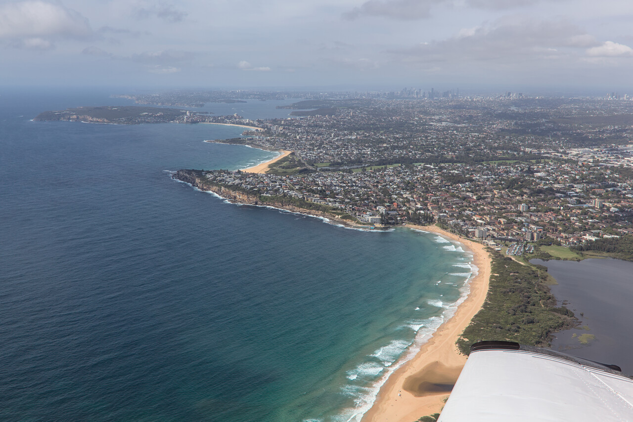
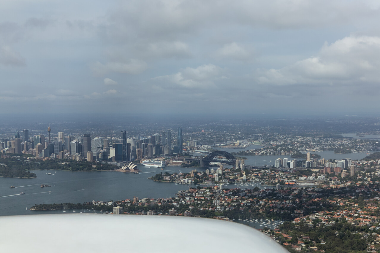
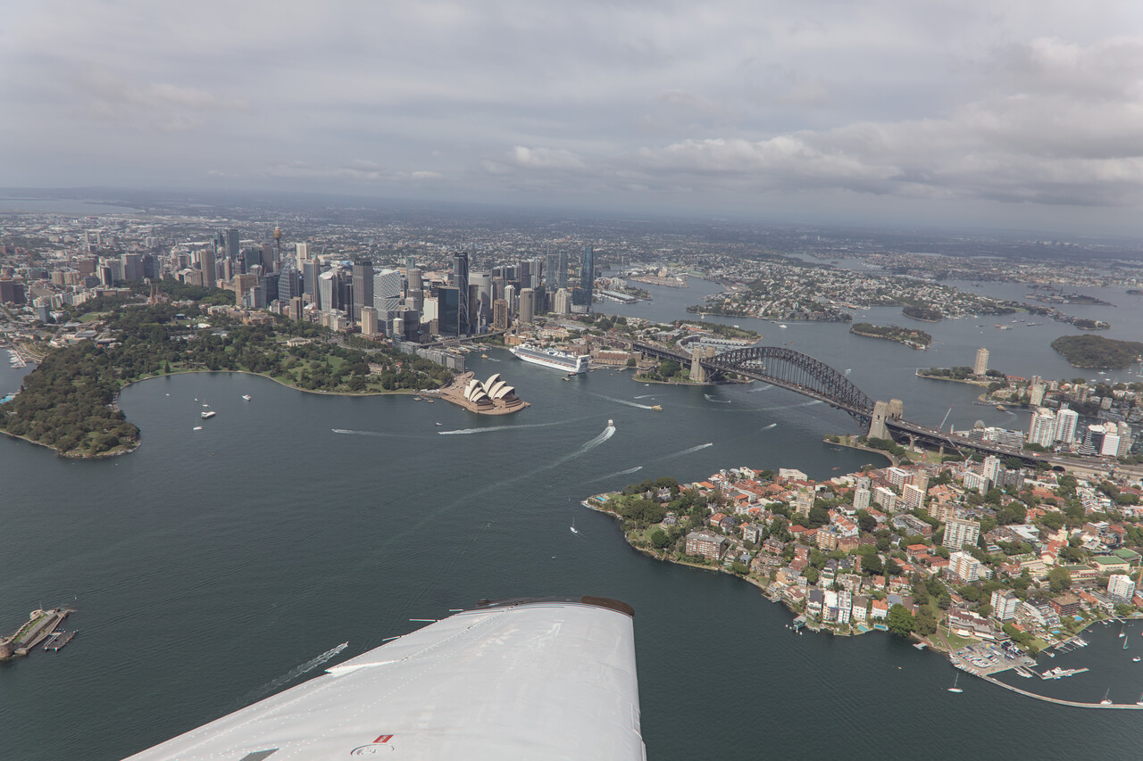
To follow the coast further south under VFR, one has to descend to 500 feet because the flightpath crosses the extended centerlines of two of the runways of Sydney’s big airport relatively close to the thresholds. This special procedure is not very popular with many Aussie pilots as they consider it dangerous and in fact there have been accidents. You have to contour some of the bays you follow and therefore fly out towards the sea sometimes. Depending on light and weather the horizon may not be visible and at 500 feet there is not much room for error.
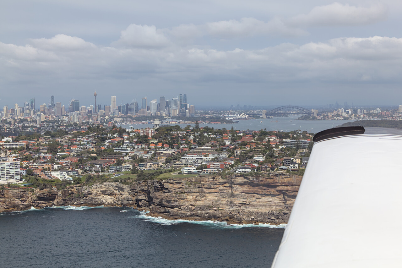
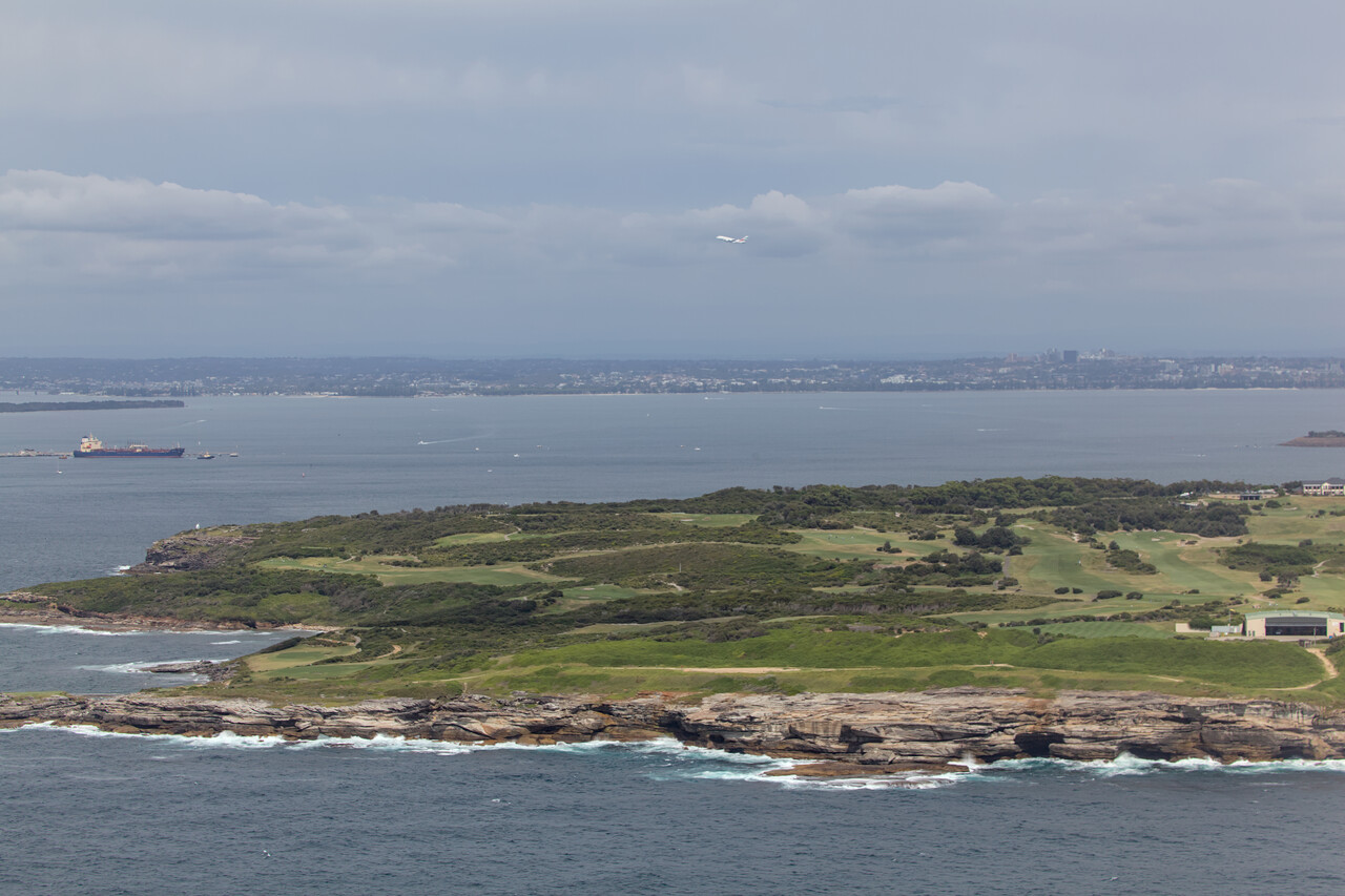
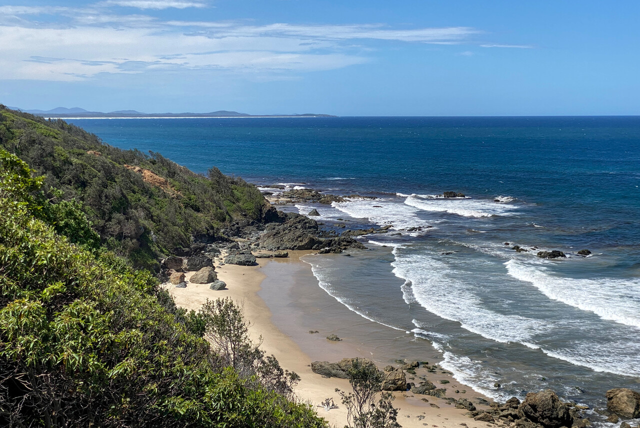
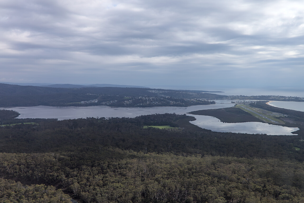
We followed the coast further south to Merimbula, YMER. We climbed a bit, but stayed rather low to enjoy the stunningly beautiful scenery now in almost perfect sunshine.
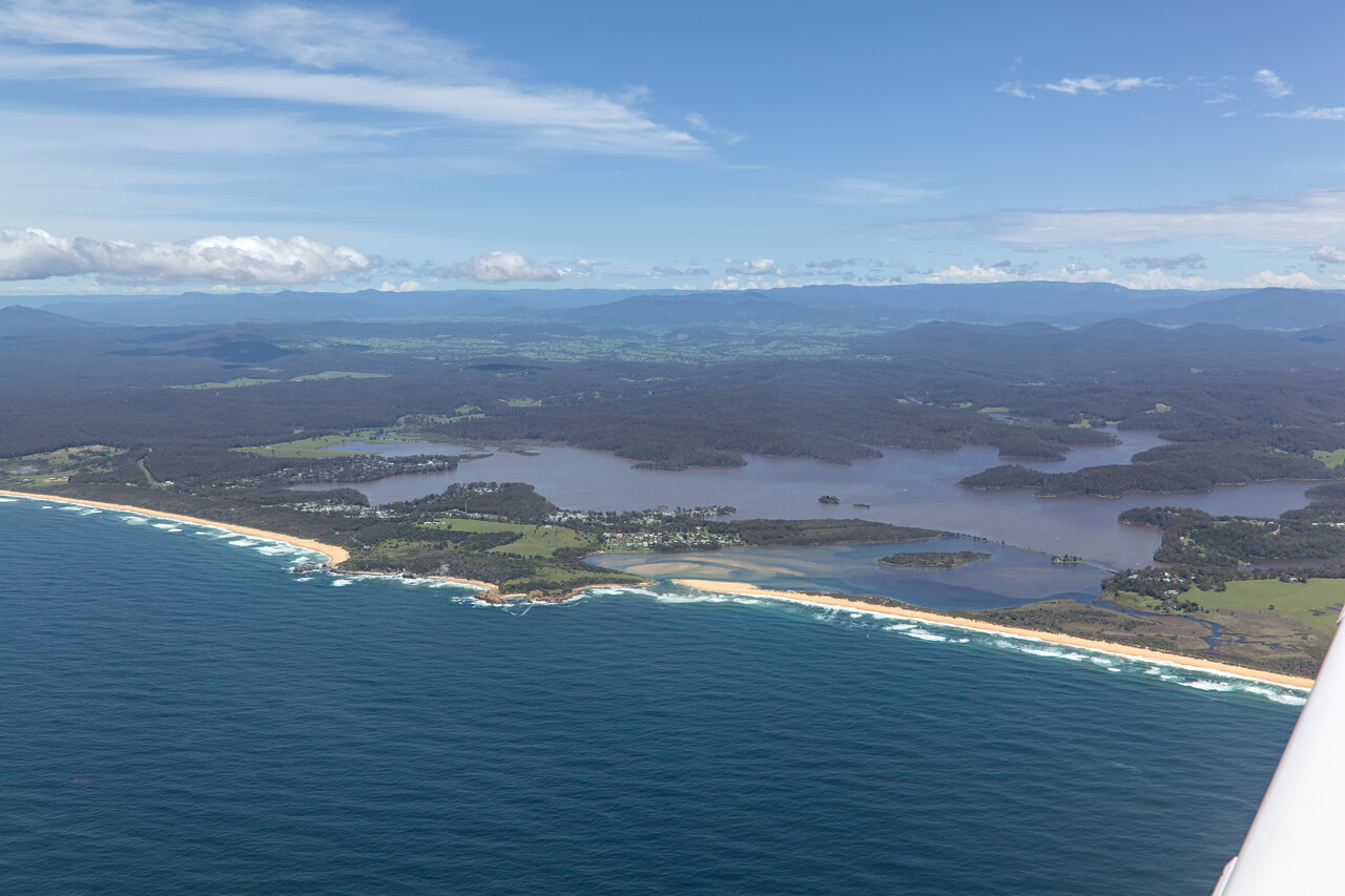
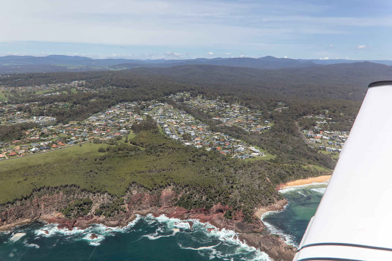
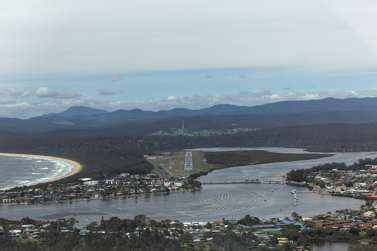
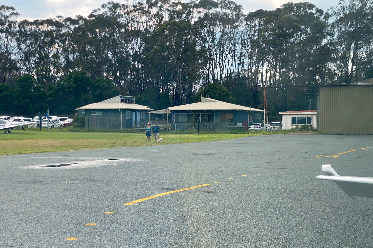
We had arranged a rental car at YMER. Like before in Sydney we once again could enjoy the incredible hospitality of fellow Mooney pilots in Merimbula. Judi and John, the president of the Australian Mooney Pilots Association invited us to stay at their home. John and another great Aussie Mooniac, Michael, called Banjo, greeted us at the airport. Banjo, who has his nickname because he’s a musician, would be worth a book on his own 😀.
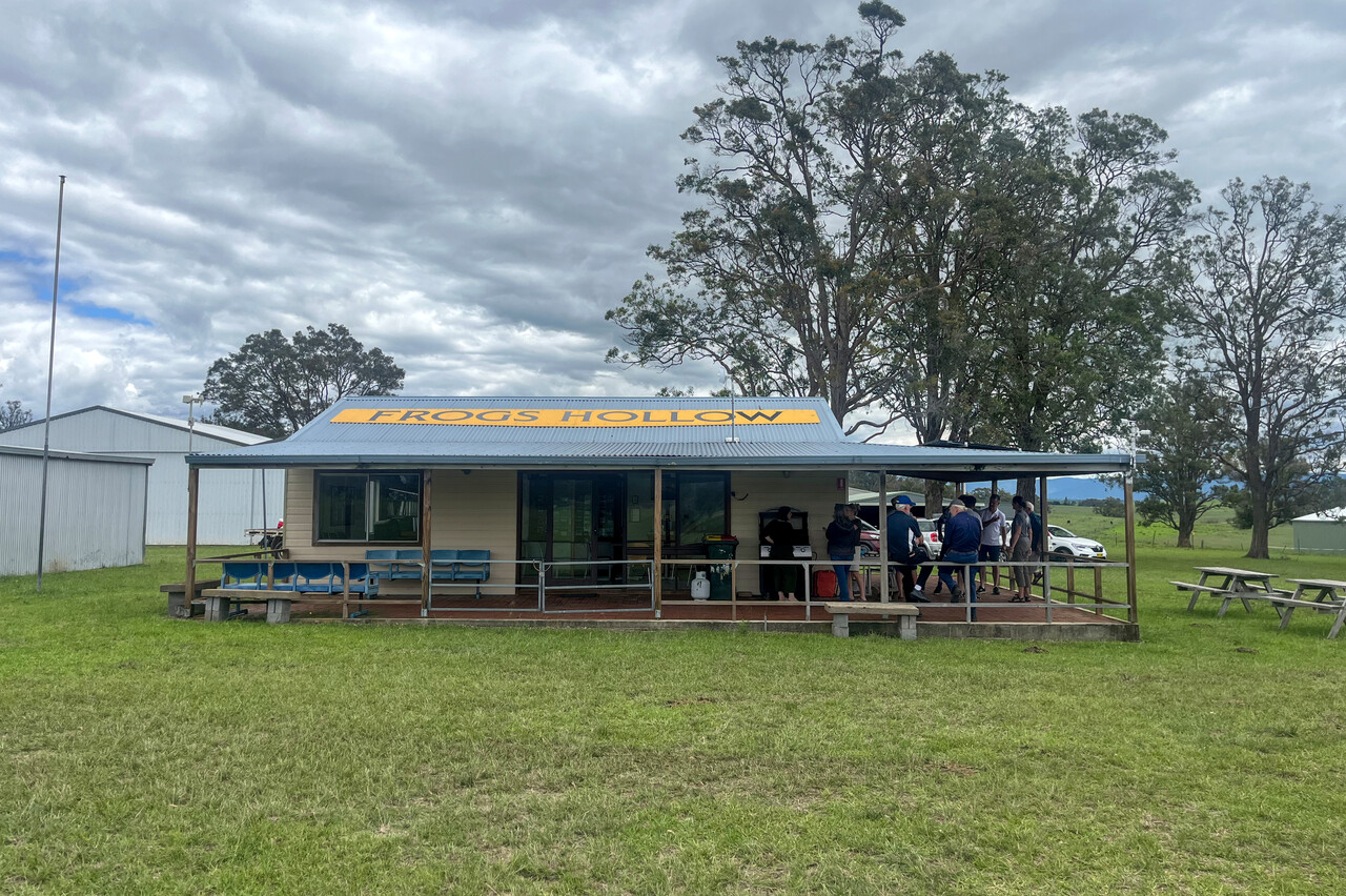
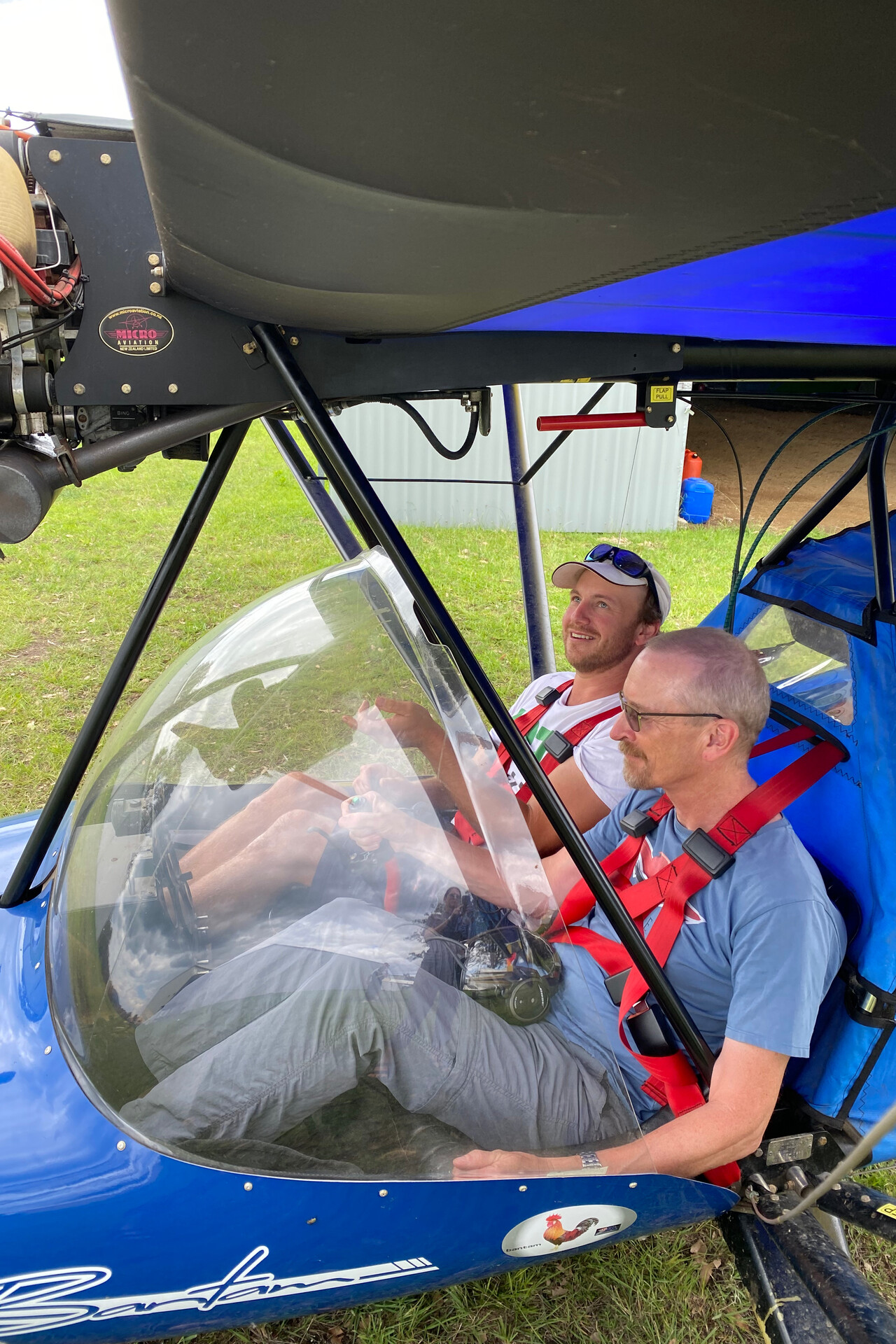
The next day in the morning we drove up to Wallaga Lake again which was so nice from the air. We did a little walk there but we didn’t have too much time, as we had yet another invitation. Fellow Mooney pilot Josh, the president of Frogs Hollow Flyers, had organized – you guessed it – a barbie 😀. After lunch Josh took us for a spin in his Jabiru powered microlight. Of course I didn’t say no when he asked me to take the controls.
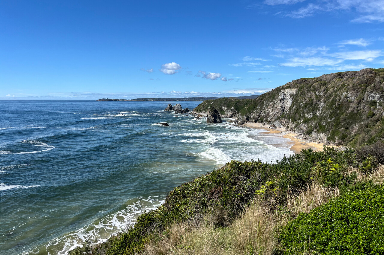
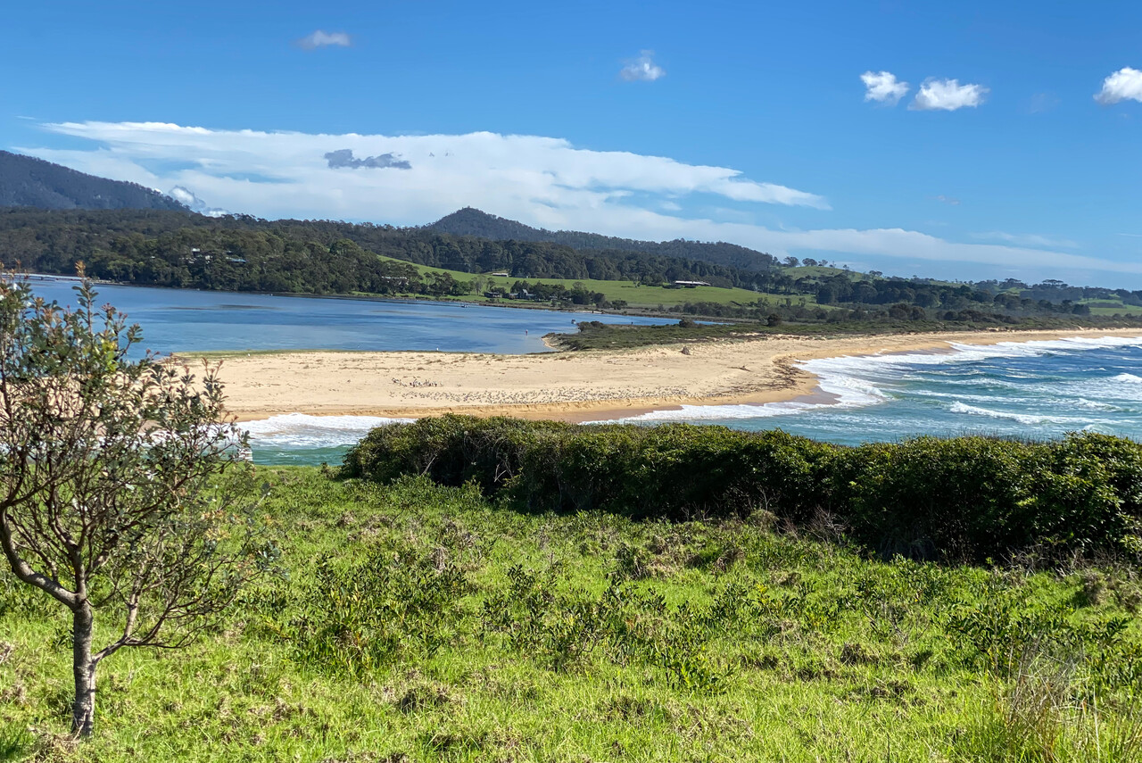
After flying along the coast all the way down from Cairns, Merimbula was our last seaside stop. We turned inland for a while from here.
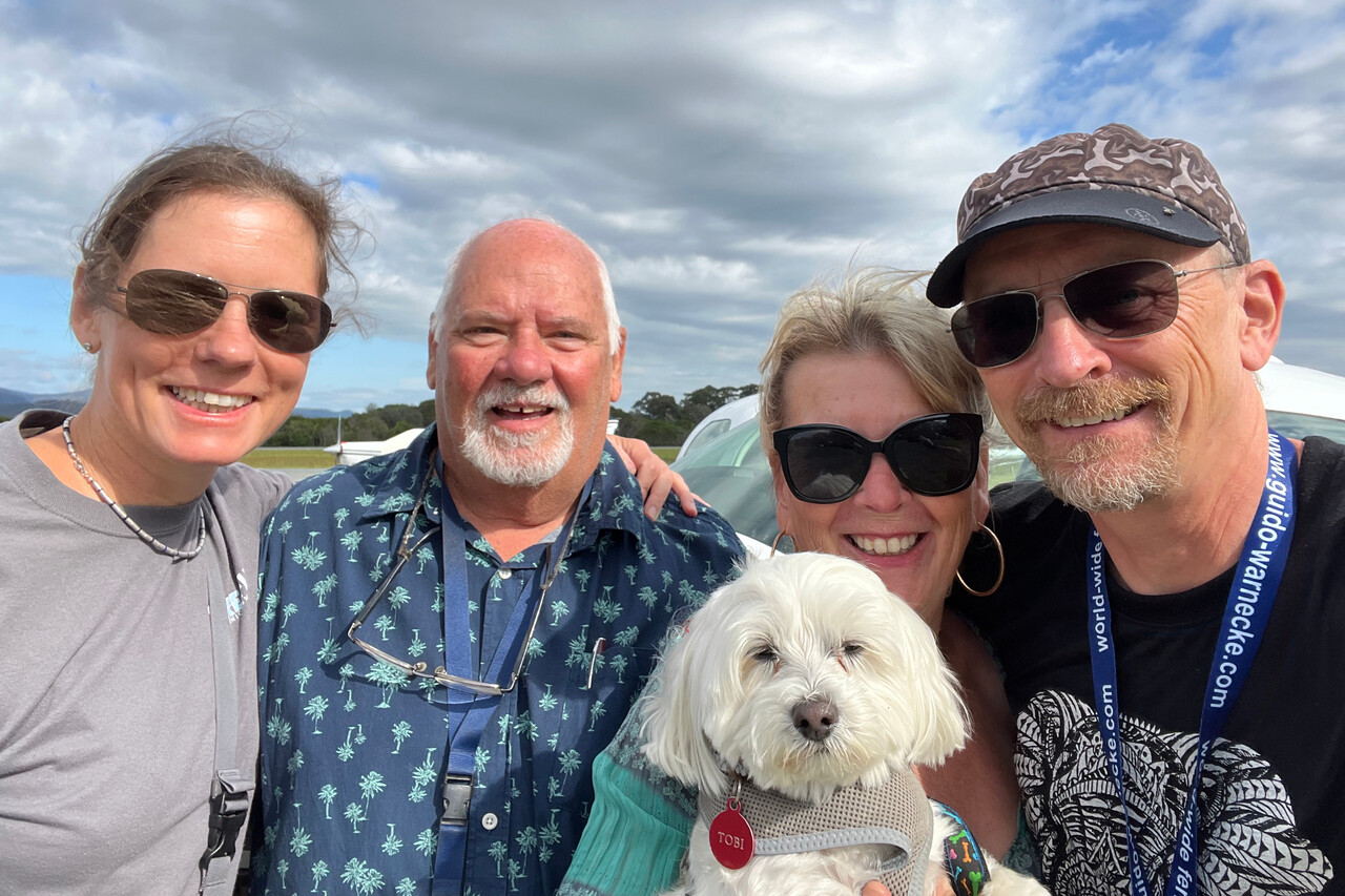
Into the mountains
Australia isn’t famous for its mountains around the world and in fact there’s nothing that compares to the Alps or the Rockies, let alone the Andes or the Himalaya. However, the Great Dividing Range reaches more than 2200 meters or 7300 feet in the very South of NSW, close to the border to Victoria. This is closer to the Black Forest than to the Alps, but it is a stunningly beautiful area nonetheless.
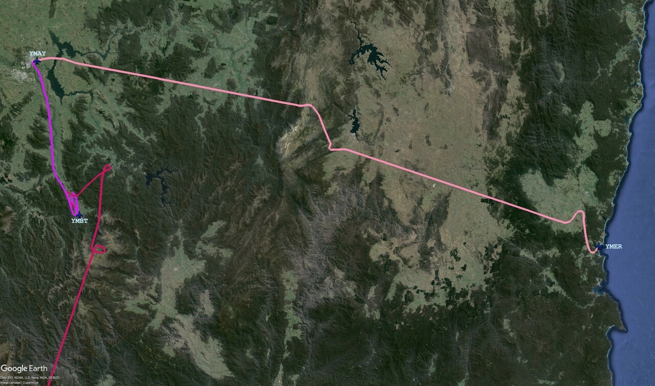
Before we crossed the Great Dividing Range we paid a visit to Frogs Hollow. Unfortunately the weather wasn’t that good and soon after, we had to look for a hole to climb above the clouds.
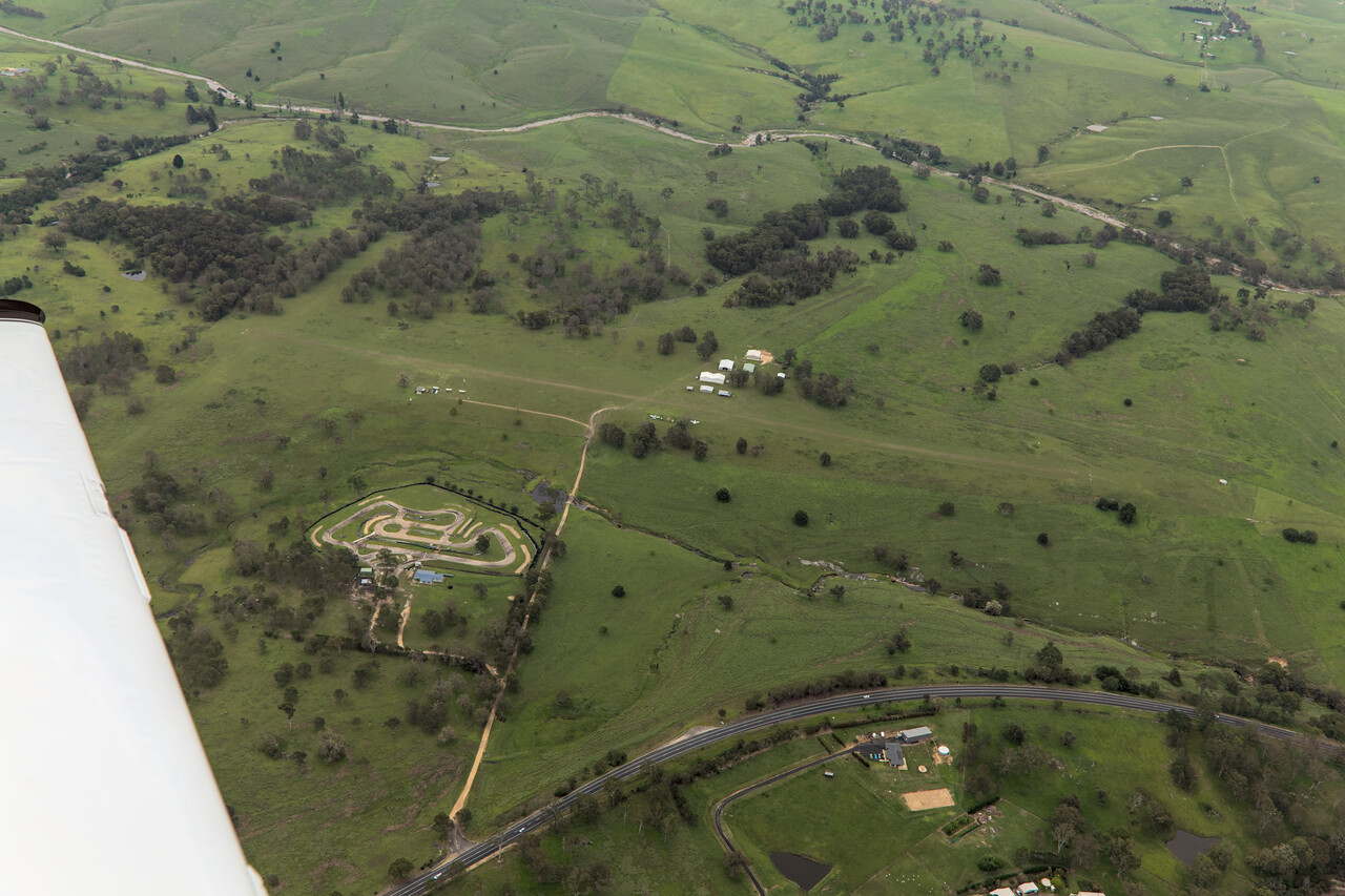
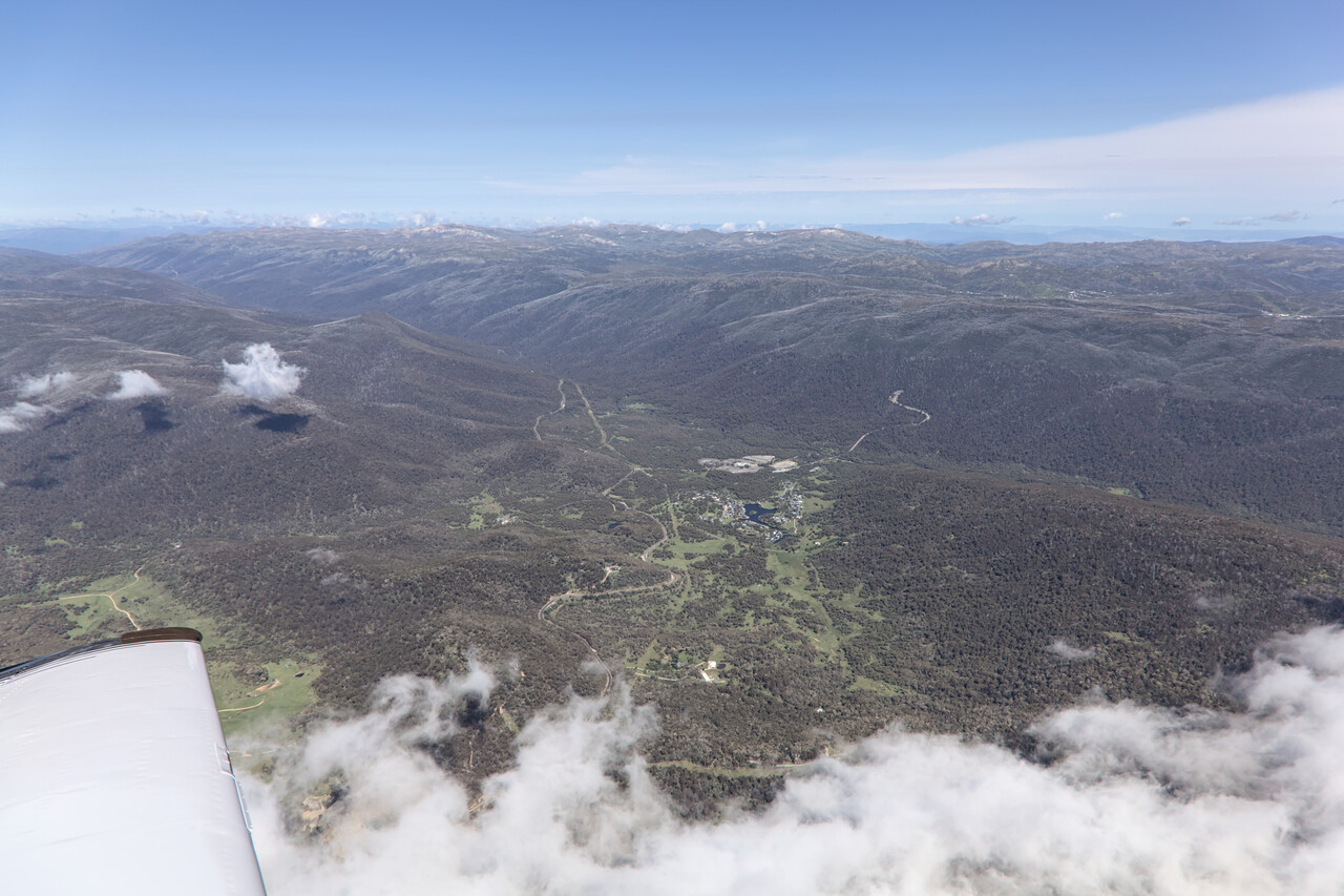
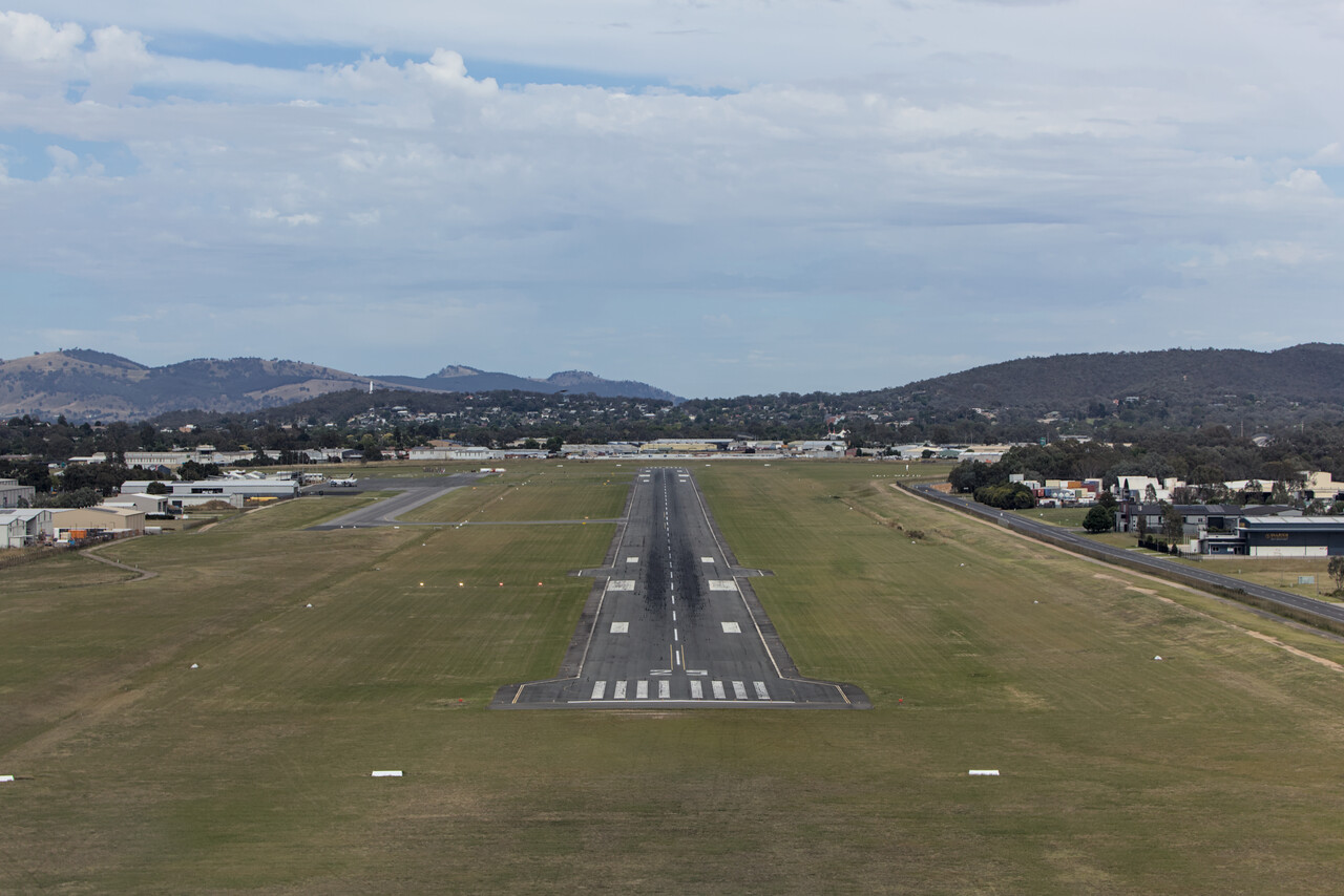
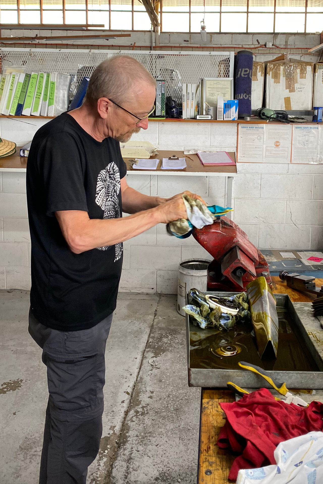
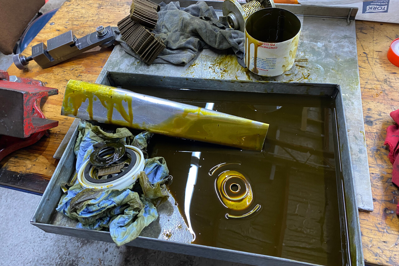
We flew to Albury, YMAY, where we were in for preventive maintenance. We had contacted the shop there and they had agreed to sell us a filter and the oil and let us use their facilities to get the job done. It was between Christmas and New Year, so not much was going on. Only one LAME, as mechanics are called in Australia, and the owner were working. Besides changing the oil and cutting open the filter, I pulled the plugs to look at them and peek into the cylinders. I had to use the shop’s borescope, as mine isn’t part of our traveling toolbox, unfortunately it wasn’t great. At least the exhaust valves looked good as far as I could see. I finally treated the waste gate with Mouse Milk and we could reinstall the cowling.
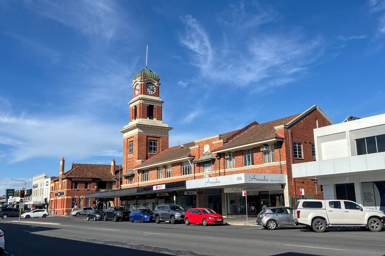
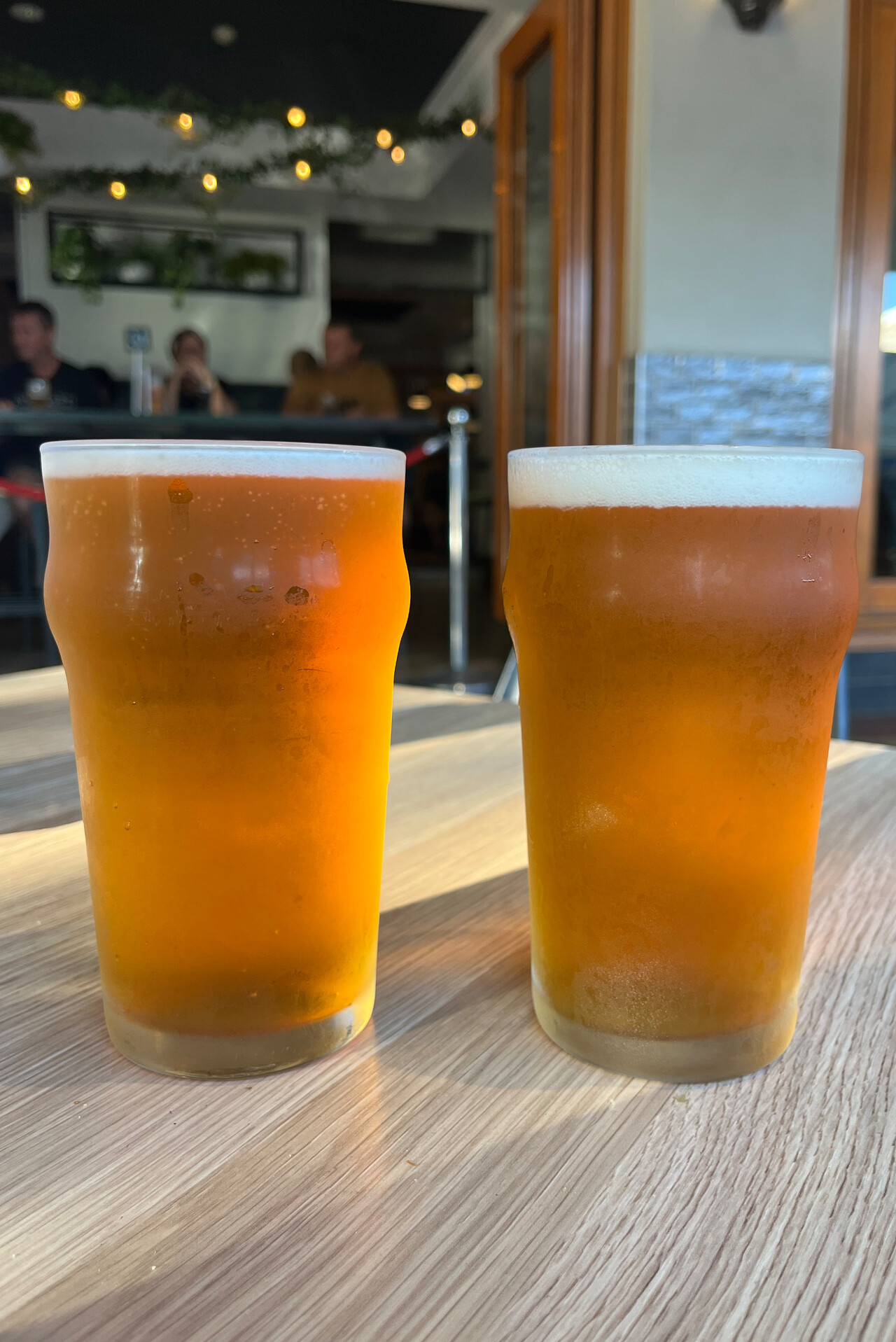
We spent the evening in Albury which at least among our fellow Mooney pilots doesn’t have the best reputation, but we found it really OK. It’s a country town with a few nice buildings and the main drag makes for a nice stroll. We found a pub with the usual counter meals and had our well deserved beer.
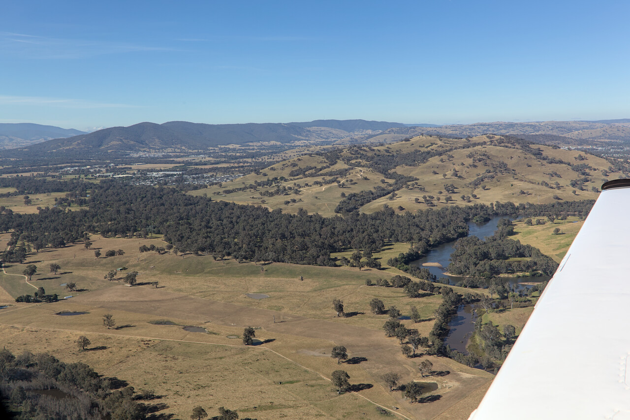
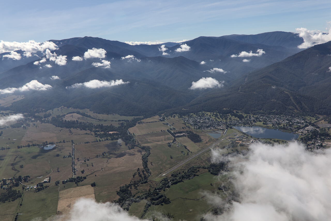
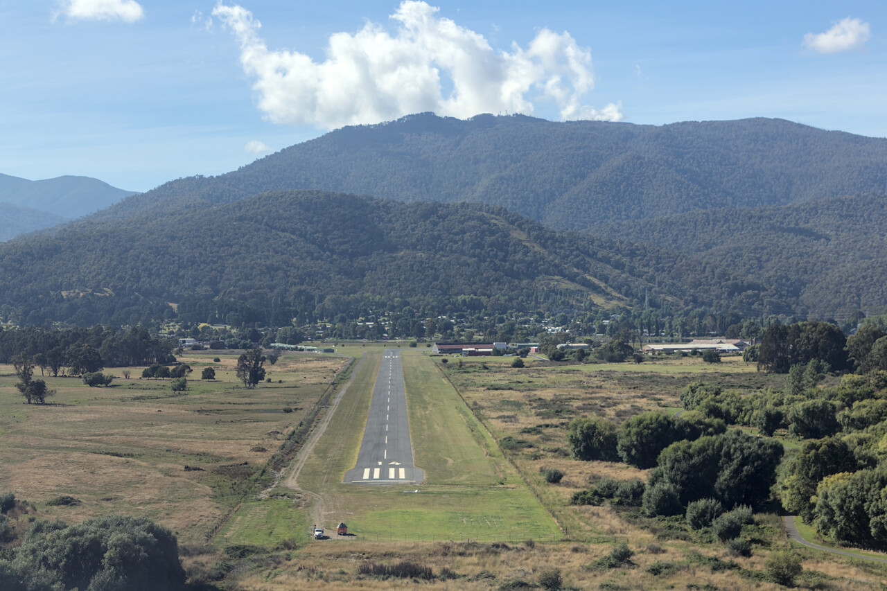
Fellow Mooney owners John and Rosemary had invited us to stay with them at their home in Mount Beauty and once again we had the privilege to experience the overwhelming hospitality of Australian pilots. Mount Beauty, YMBT, is called like this for a reason and already the flight there was a pleasure.
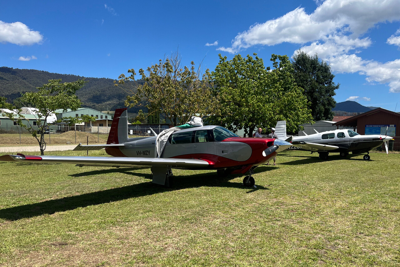
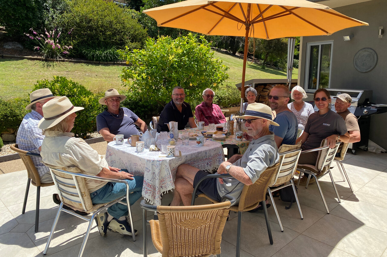
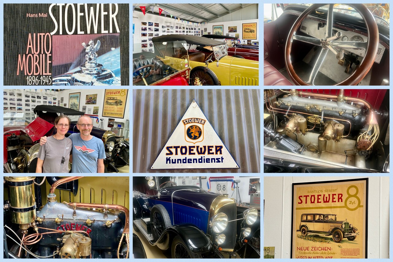
Our hosts organized a barbie at their home and invited several friends, pilots and non-pilots alike. The other pilots arrived by air, some in style – by Mooney. In the afternoon, our hosts took us to a museum nobody would expect in a small Australian country town. It is devoted to Stoewer automobiles. It features several lovingly restored cars of this German manufacturer (I didn’t know before, I must confess). All the vehicles are ready to drive and the owner gave us a detailed tour.
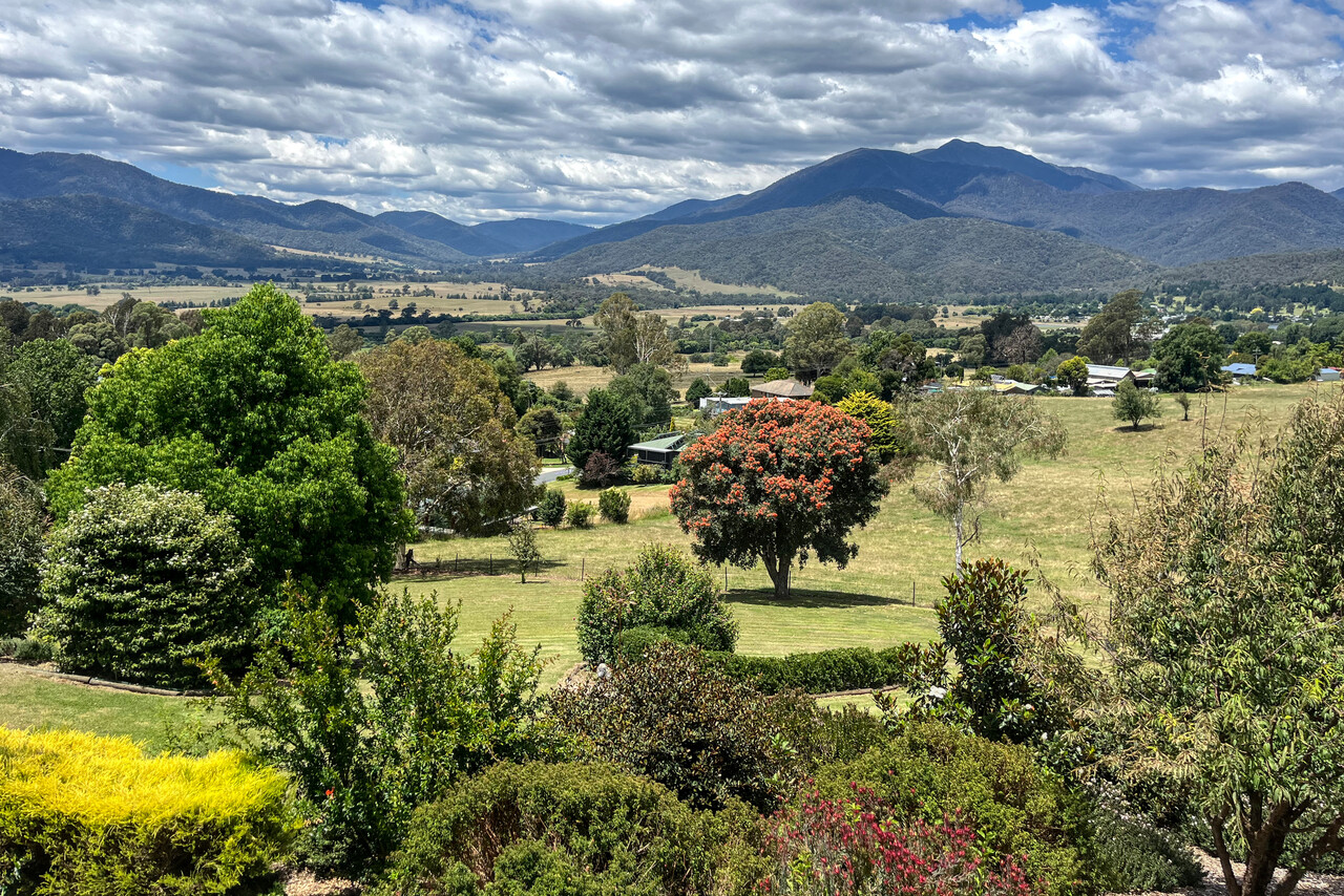
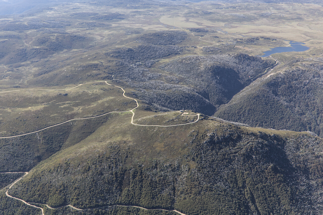
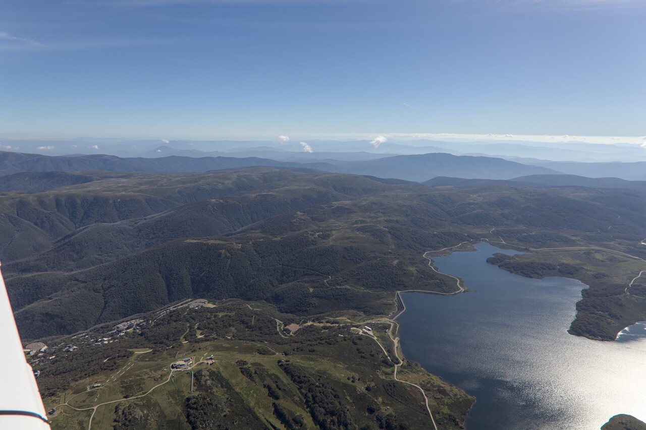
The next day our hosts gave us their car and recommended that we drive up to the High Plains for a little walk and to see this stunning landscape. It really is an interesting and lovely part of the country, less known to foreign tourists like us.
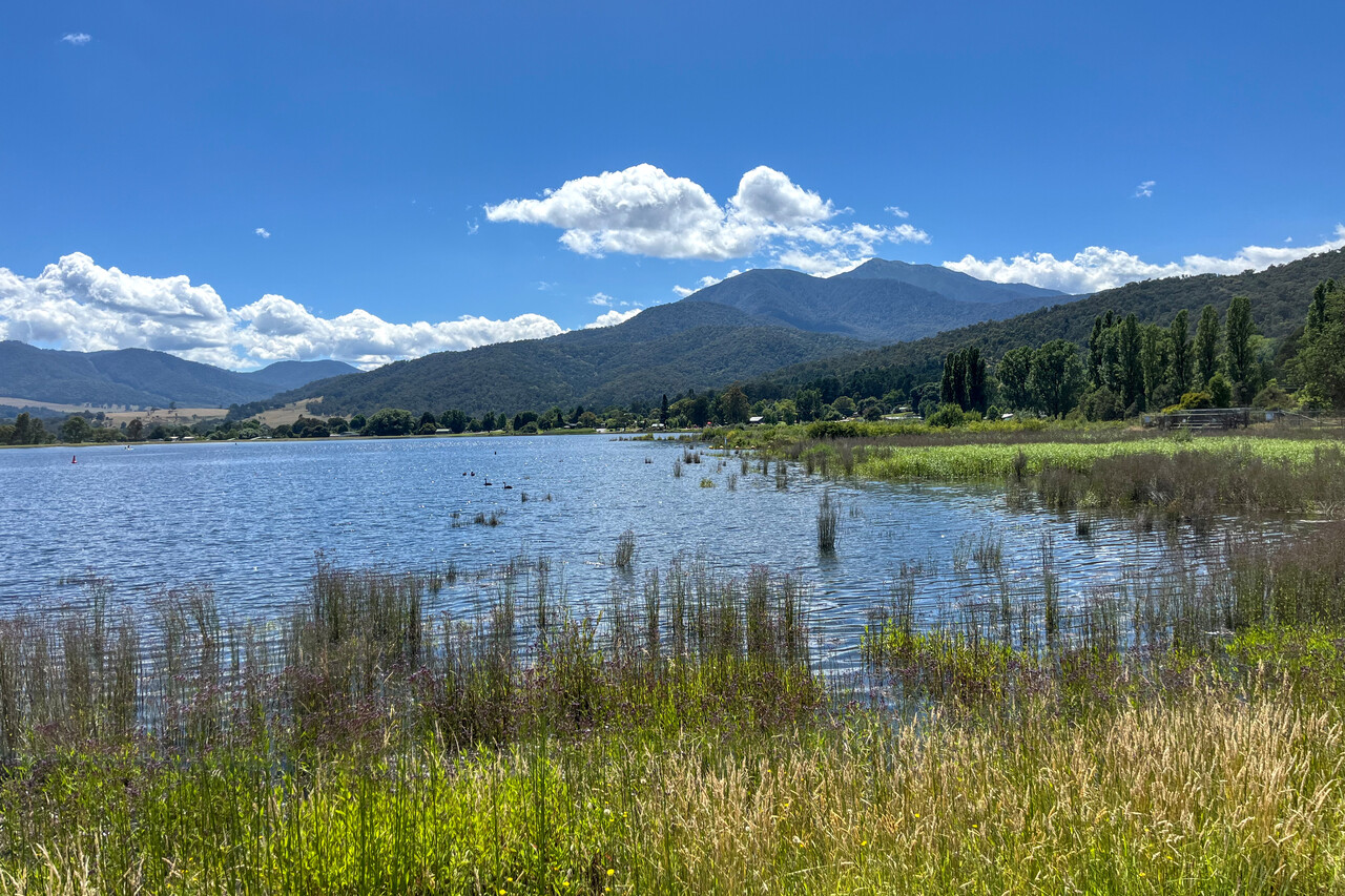
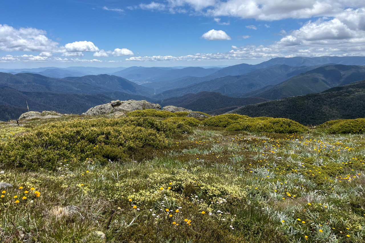
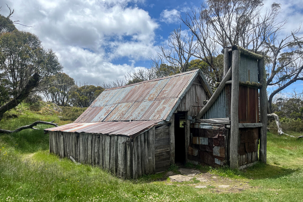
Our next destination was Tassie and Mount Beauty had perfect weather for the third day in a row which isn’t that common as we were told. We took the chance to take a look at the landscape we had visited the day before, this time from the air.
Tassie
Tasmania had ranked high on my list of Australian destinations long before we left home. We had been to the island 15 years ago and I liked it a lot. Back then we walked the South Coast Track, a famous hike, this time we wanted to see it from above.
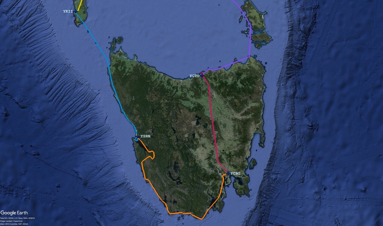
We would have loved to stop on Flinders Island (the one off the Northeast of Tassie), unfortunately it was impossible to get accommodation there. So we thought, we’ll at least fly over but even that didn’t really work out as the island was mostly covered by low clouds.
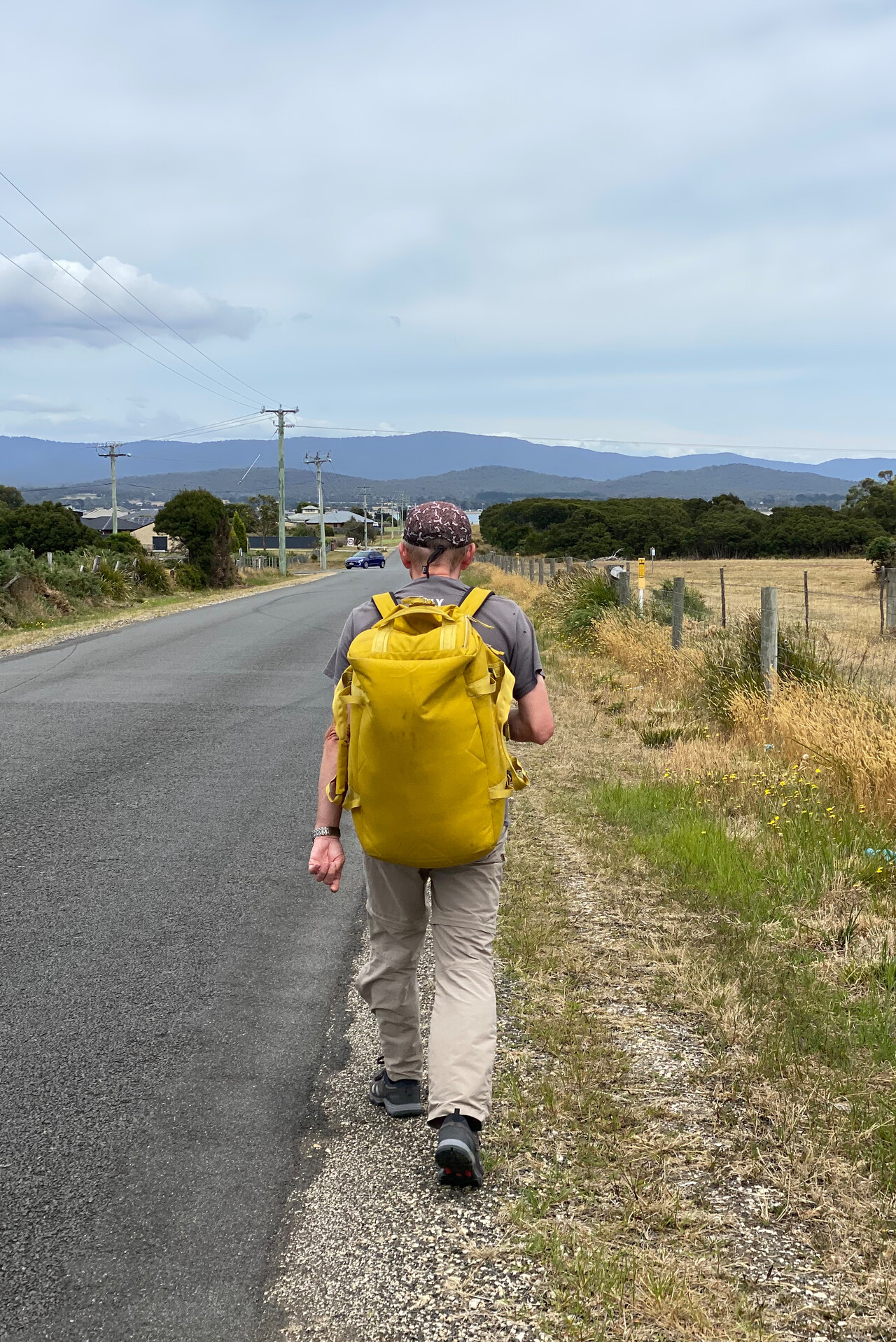
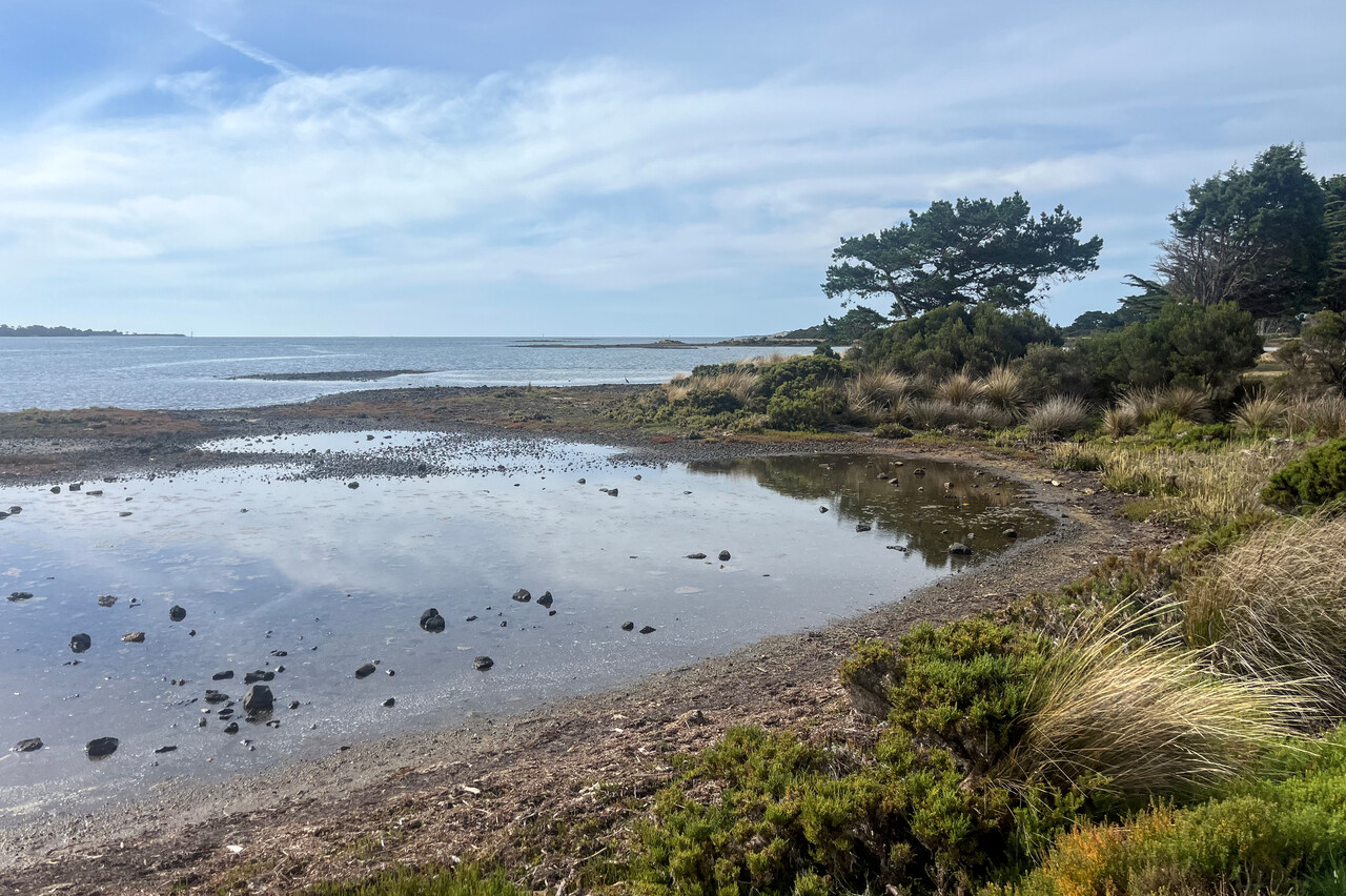
We had been able to find a hotel in George Town, YGTO, on the north coast of Tasmania, so we flew there. One can walk into town from the field there, but it takes almost an hour. It turned out to be a rather sleepy place with nice strolls along the river being the major attractions.
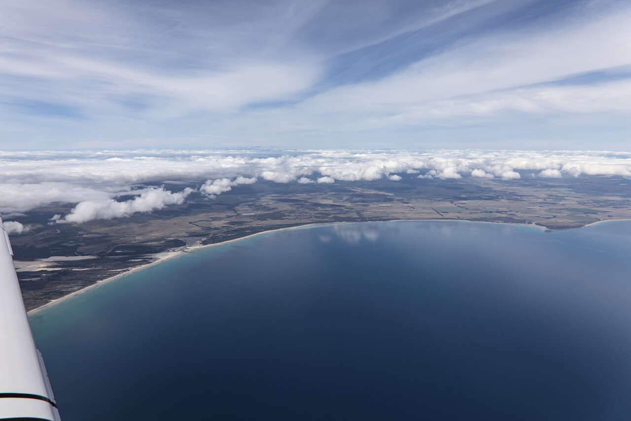
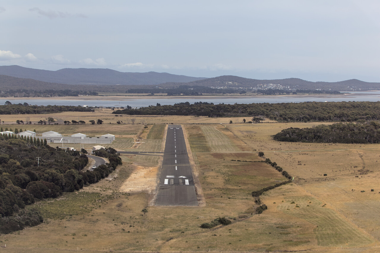
We had planned to fly to Hobart’s Cambridge airfield, YCBG, along the Tasmanian east coast, but weather didn’t cooperate, we even had to file IFR. Wineglass Bay actually was on our list, but unfortunately we missed this one out.
YCBG is a bit odd, as it is located inside the CTR of Hobart’s big airport, YMHB. Runways are parallel, just displaced by a kilometer or so. When you arrive under IFR, you just swing over once visual. You won’t get a clearance to land, but traffic at YCBG is on the YMHB frequency, so for all practical purposes it’s like a controlled airfield.
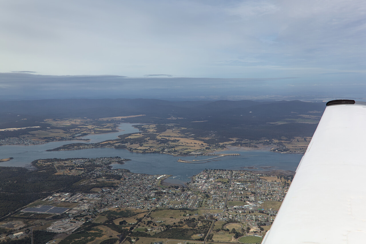
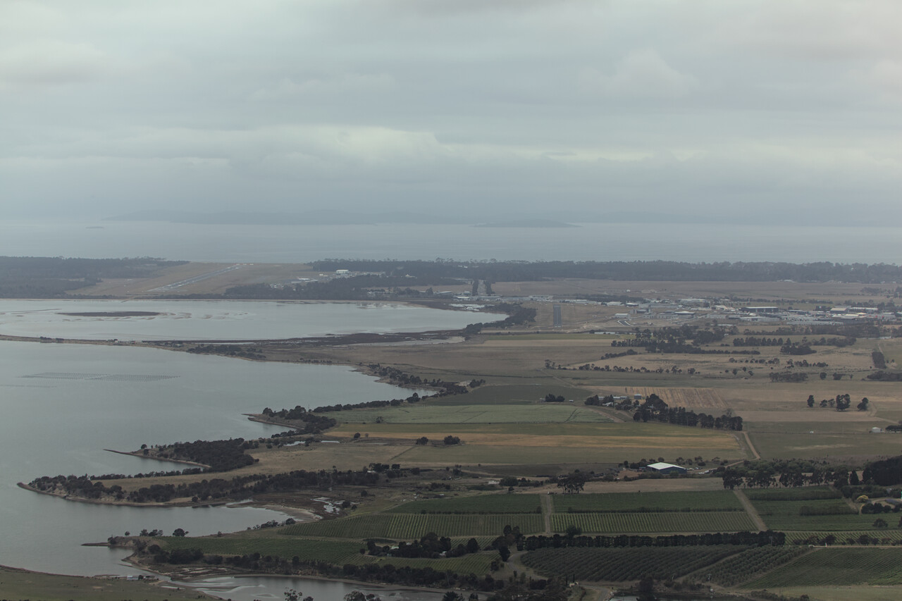
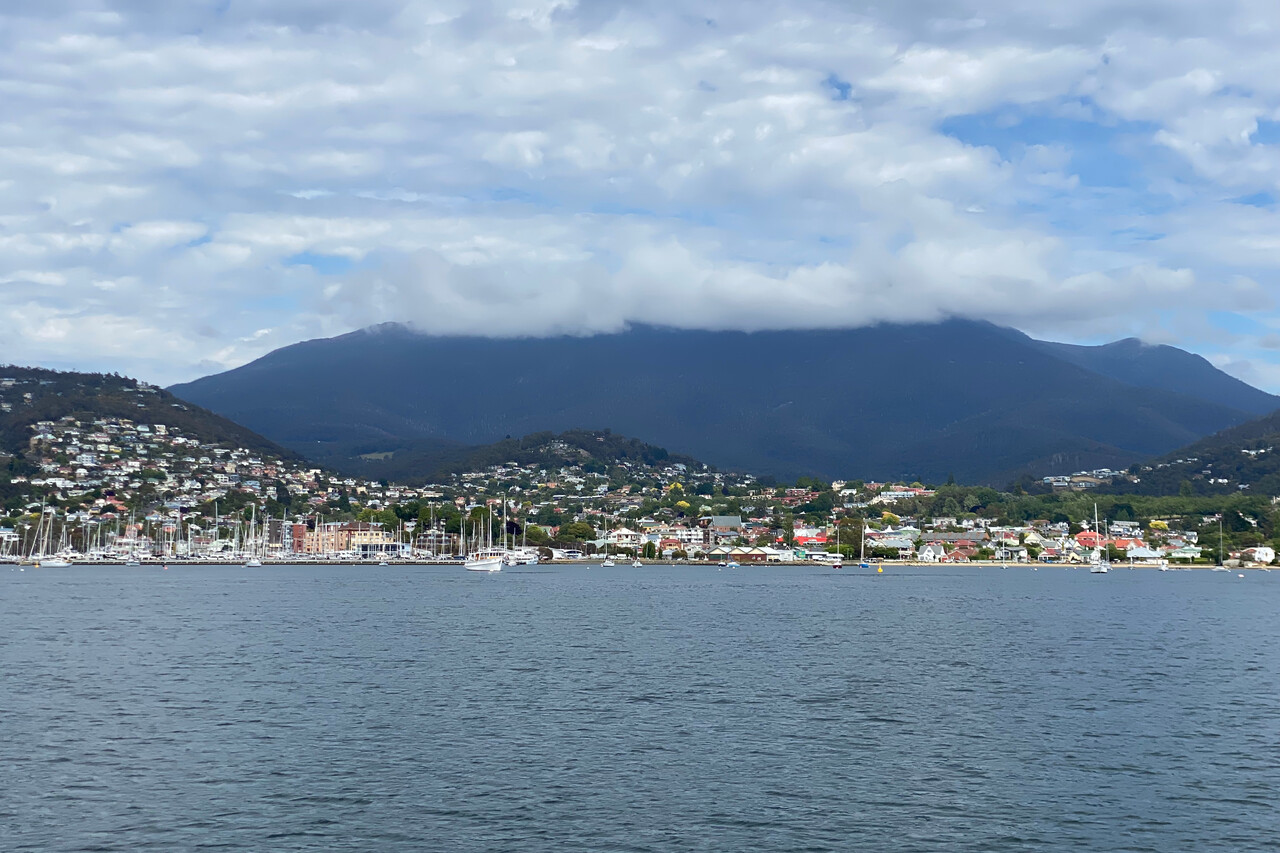
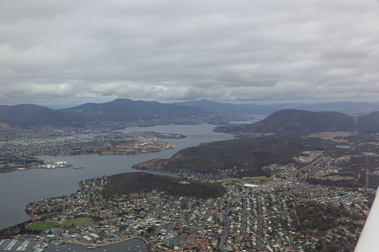
Hobart is a pleasant town with a very European feel to it. This is in part because of the many remaining British buildings, but also because of the cooler climate. It’s a port town that’s apparently very important to yachters. I don’t understand much about yachting, but there are also many good restaurants in town and you don’t need to know much to enjoy food and drink.
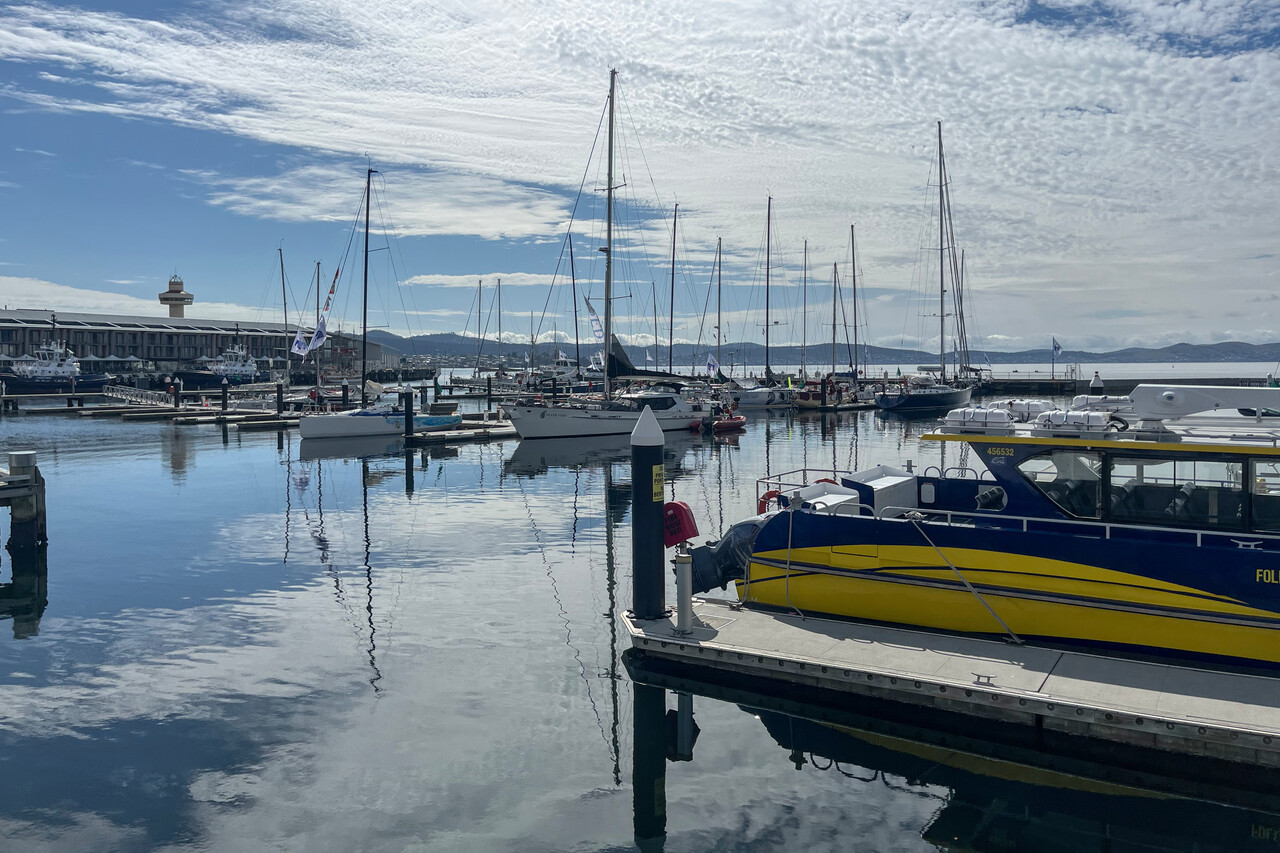
Hobart is the start and end point of the South Coast Track, which we did 15 years ago. It commences with a flight in a 206 or so from YCBG to a small strip on the south coast called Bathurst Harbour, YBHB. From there you have to walk for six days back to the end of the road south of Hobart, where you will be picked up by a bus. It was one of the nicest walks we ever did and we were keen to fly along this coast. Weather wasn’t perfect, but we were even able to spot the path in a couple of places.
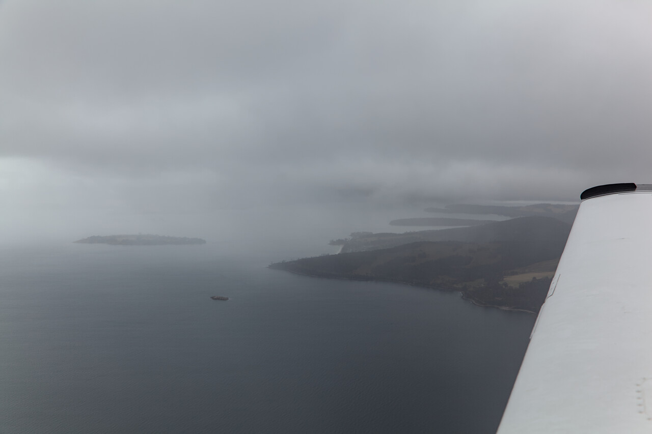
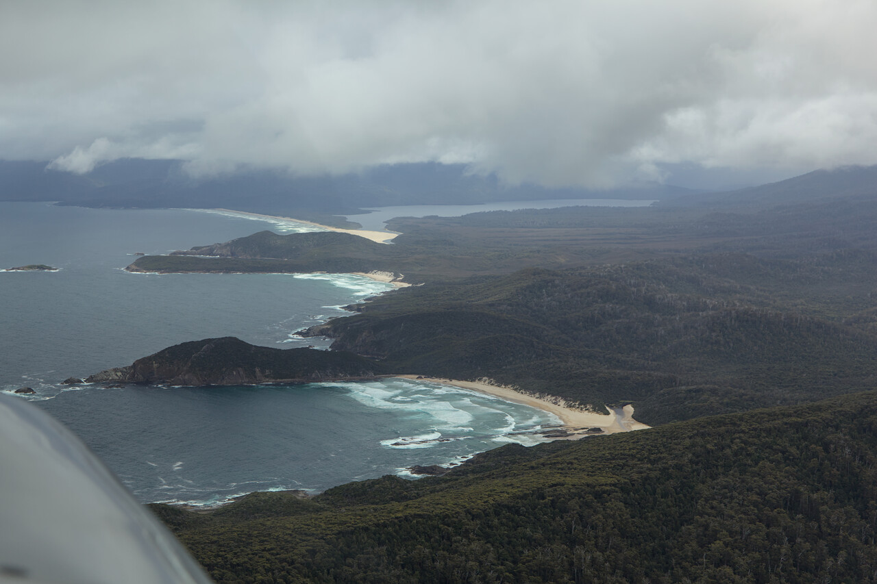
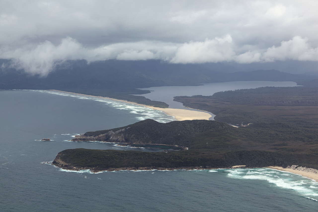
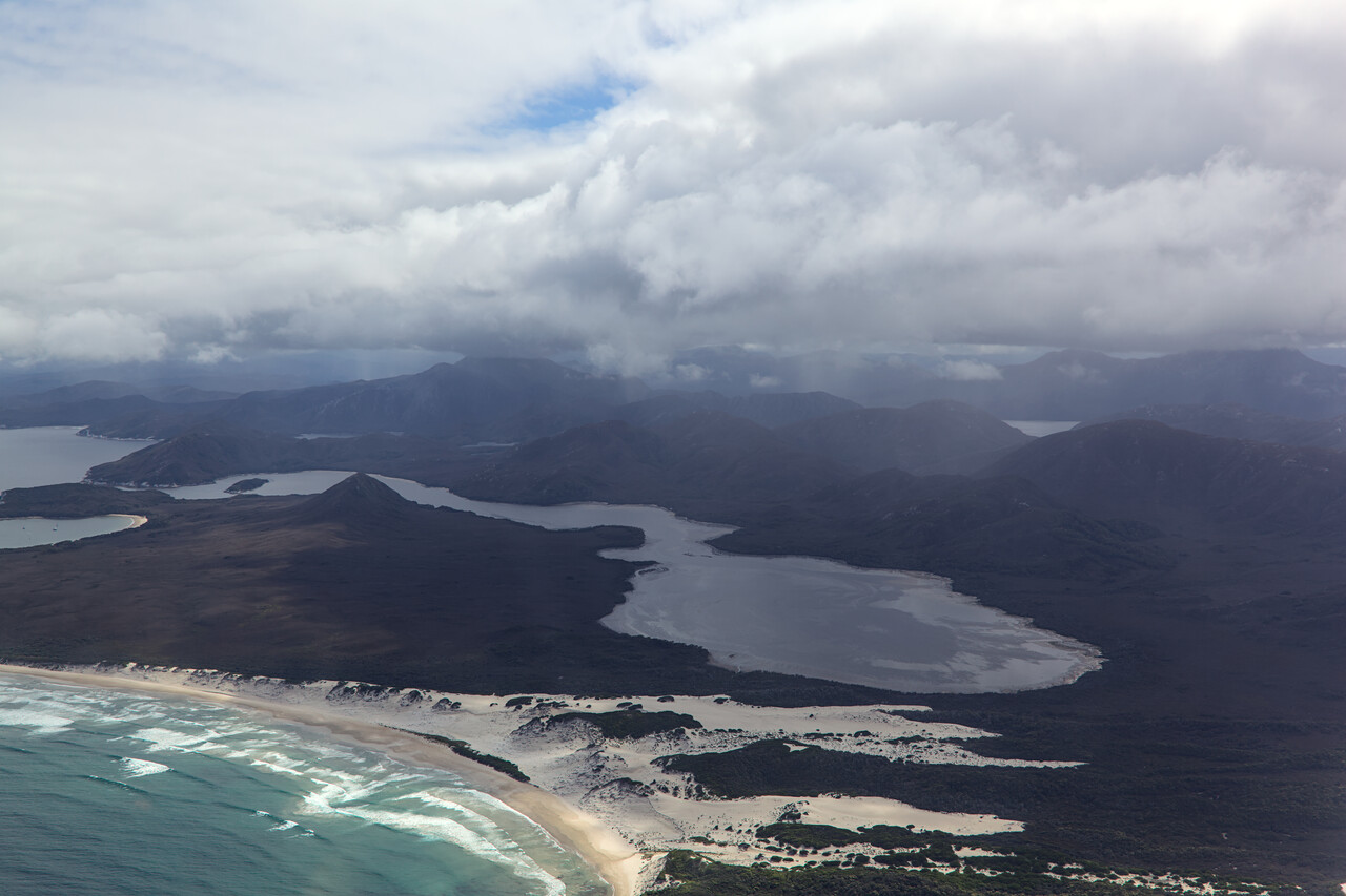
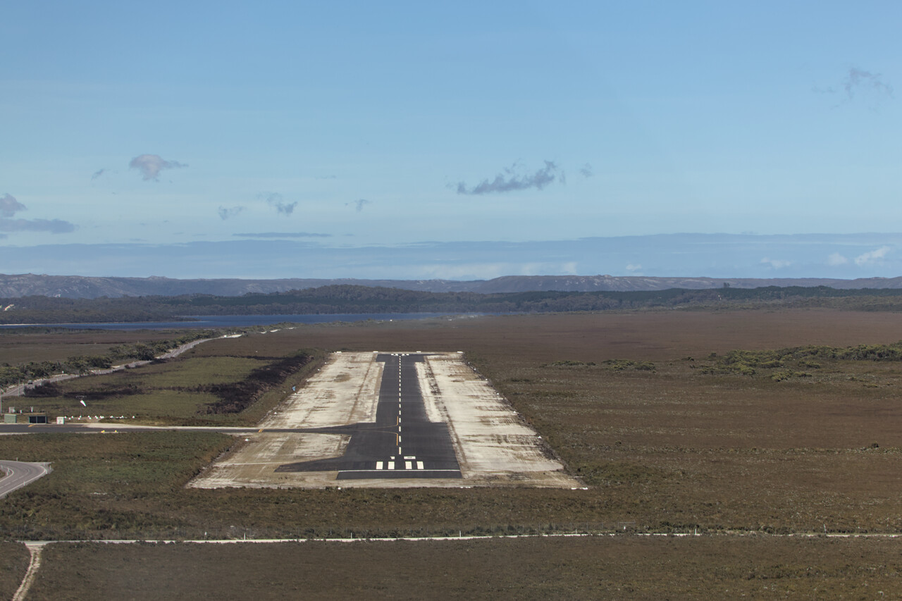
Weather improved on the way to Strahan, YSRN, our destination for the day. Cruises along the Gordon River depart from Strahan, but we couldn’t get a ticket, so we had to do a little aerial cruise before we arrived.
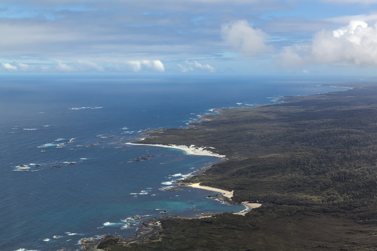
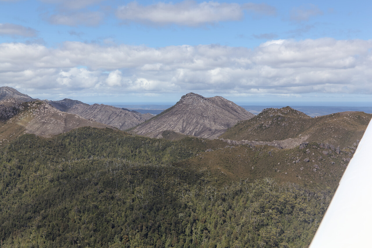
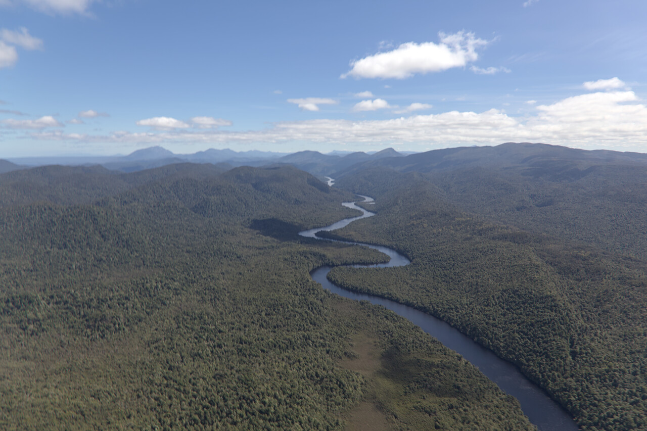
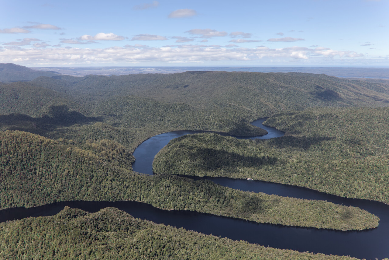
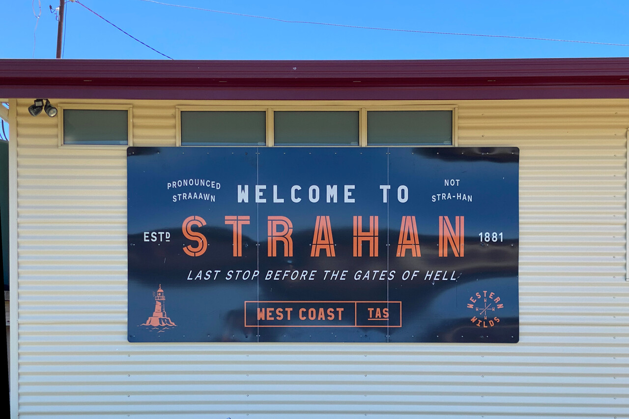
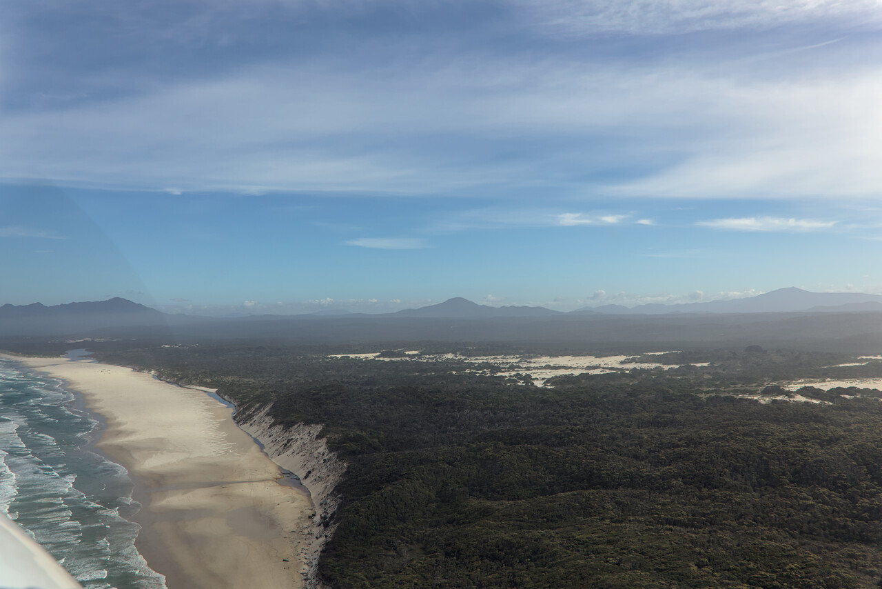
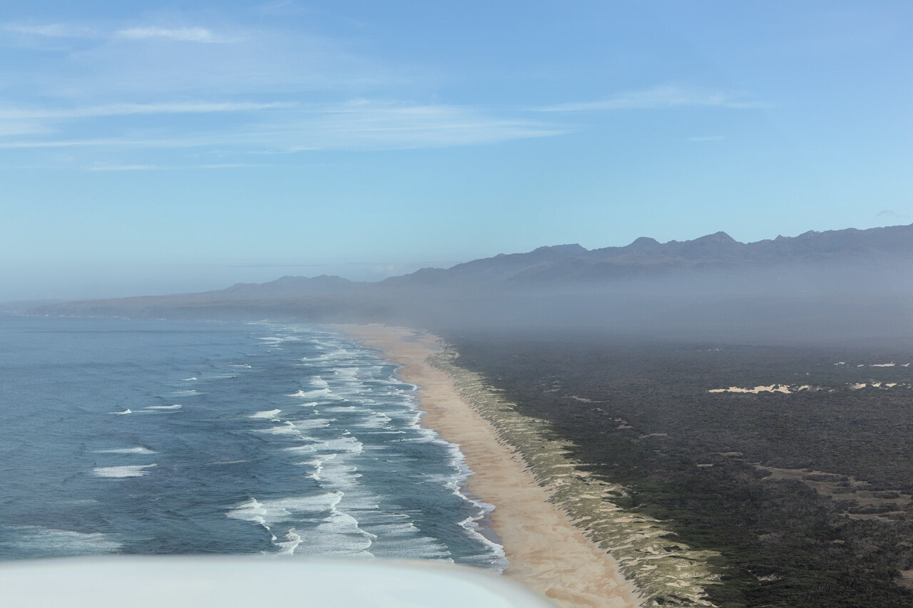
Apparently they call the mouth of the inlet of Gordon and several other rivers the Gates of Hell. That’s where you’ll end if you pronounce the name of the town in the wrong way. Besides this particularity, Tassie’s longest beach is located near Strahan.
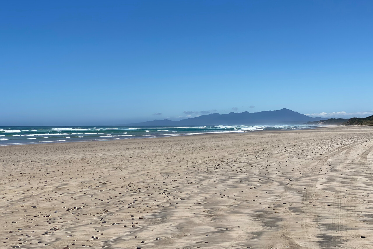
In contrast to Flinders Island we were able to find accommodation on King Island, the one off Tasmania’s northwestern tip. So we flew from Strahan to King, YKII the next day.
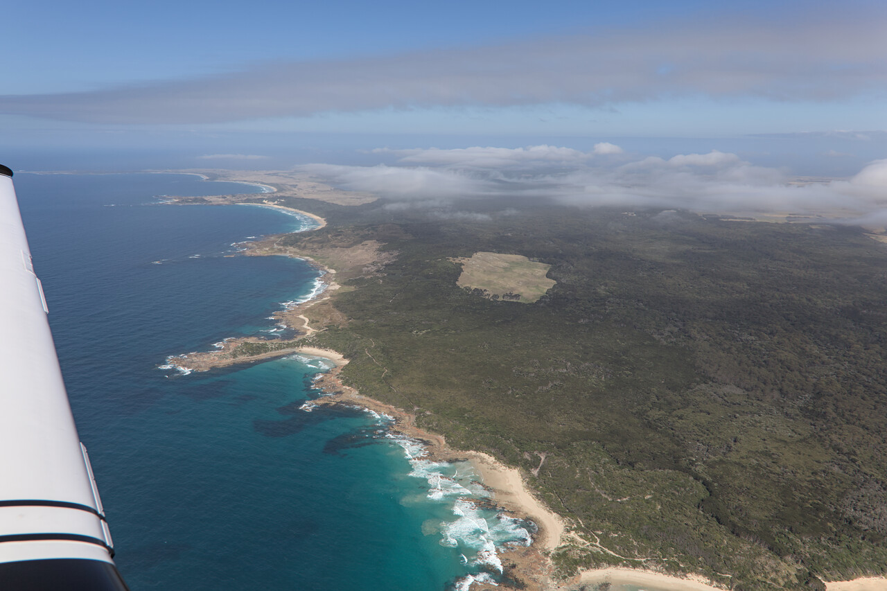
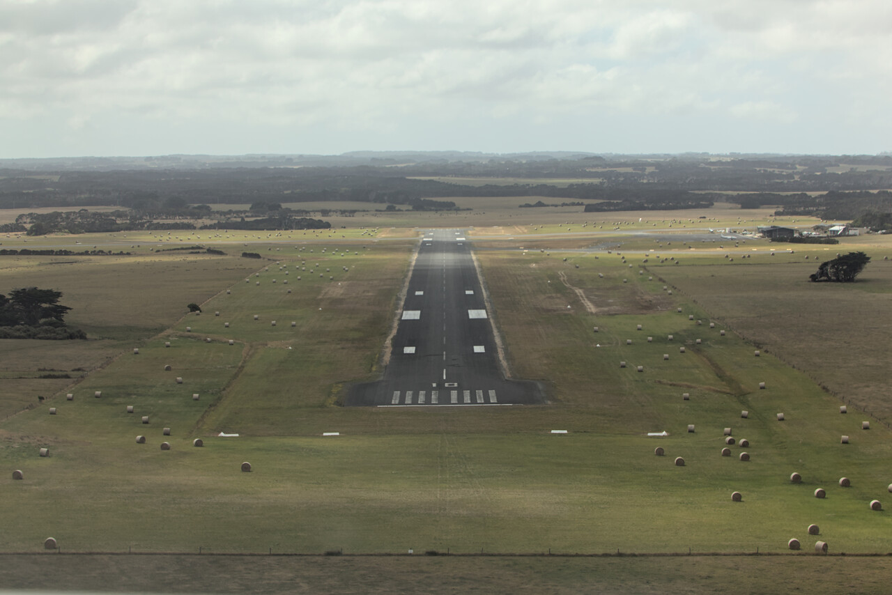
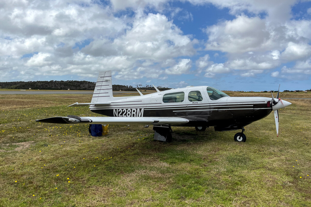
Not only could we find a hotel on King Island, we could even book a rental car. It turned out to be in terrible condition and came at a horrific price, but it was worth it in the end. We had two wonderful days on the Island. The scenery is beautiful, weather was great and people are the most laid back and friendly one can imagine.
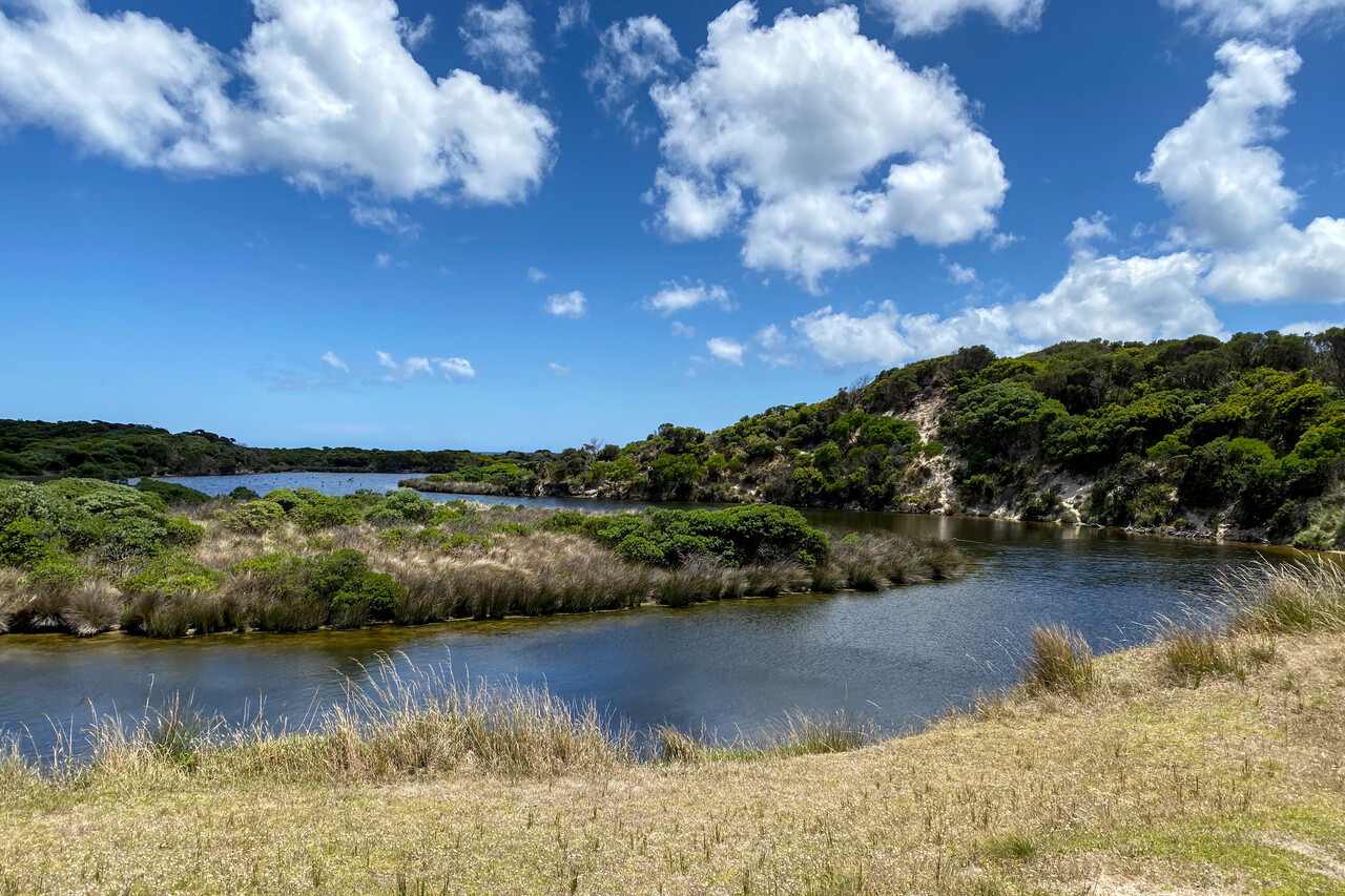
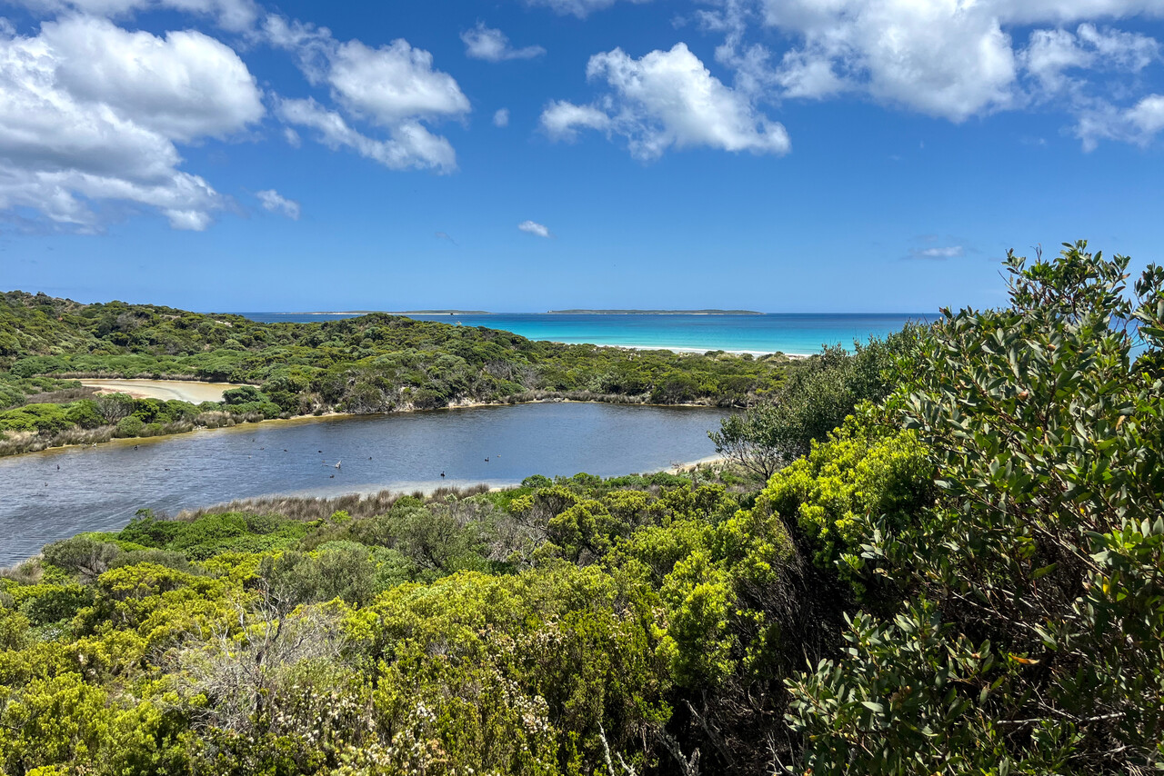
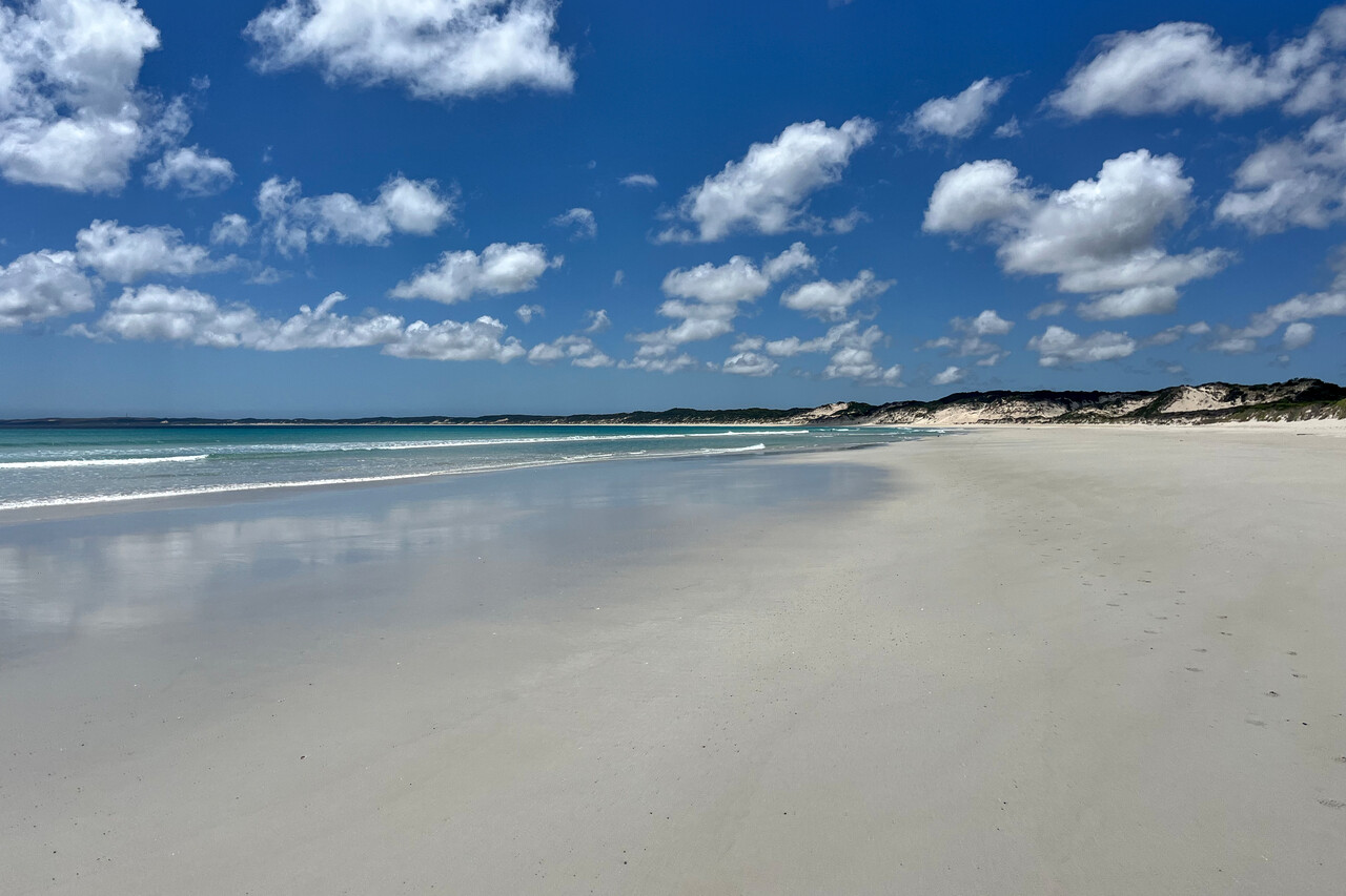
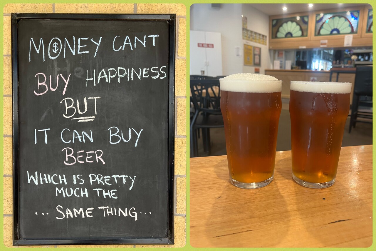
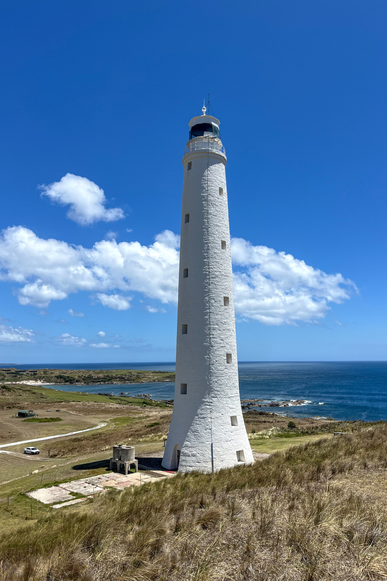
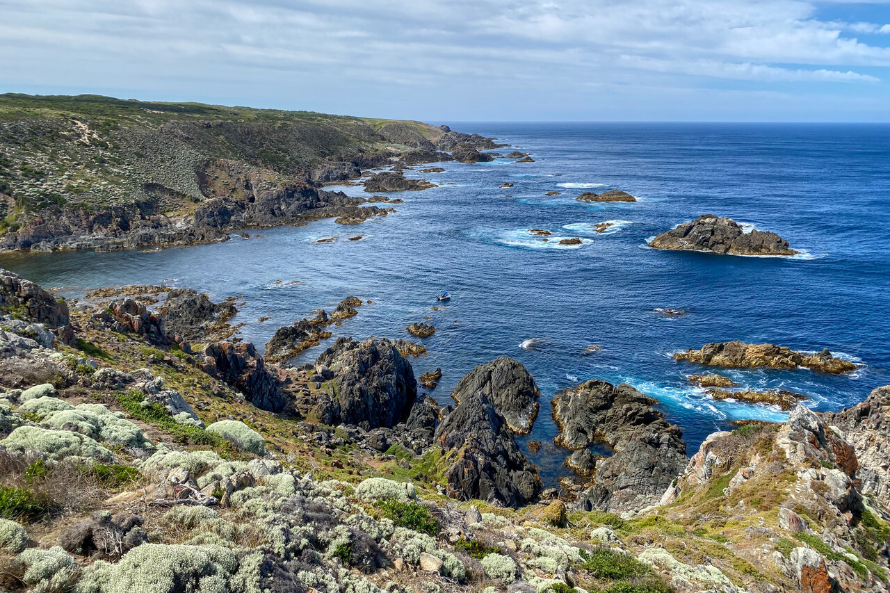
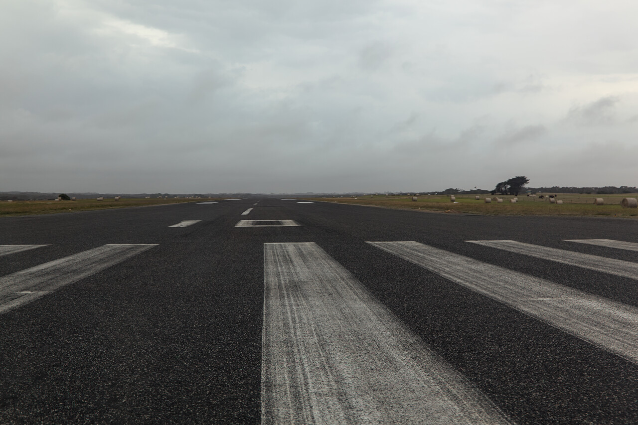
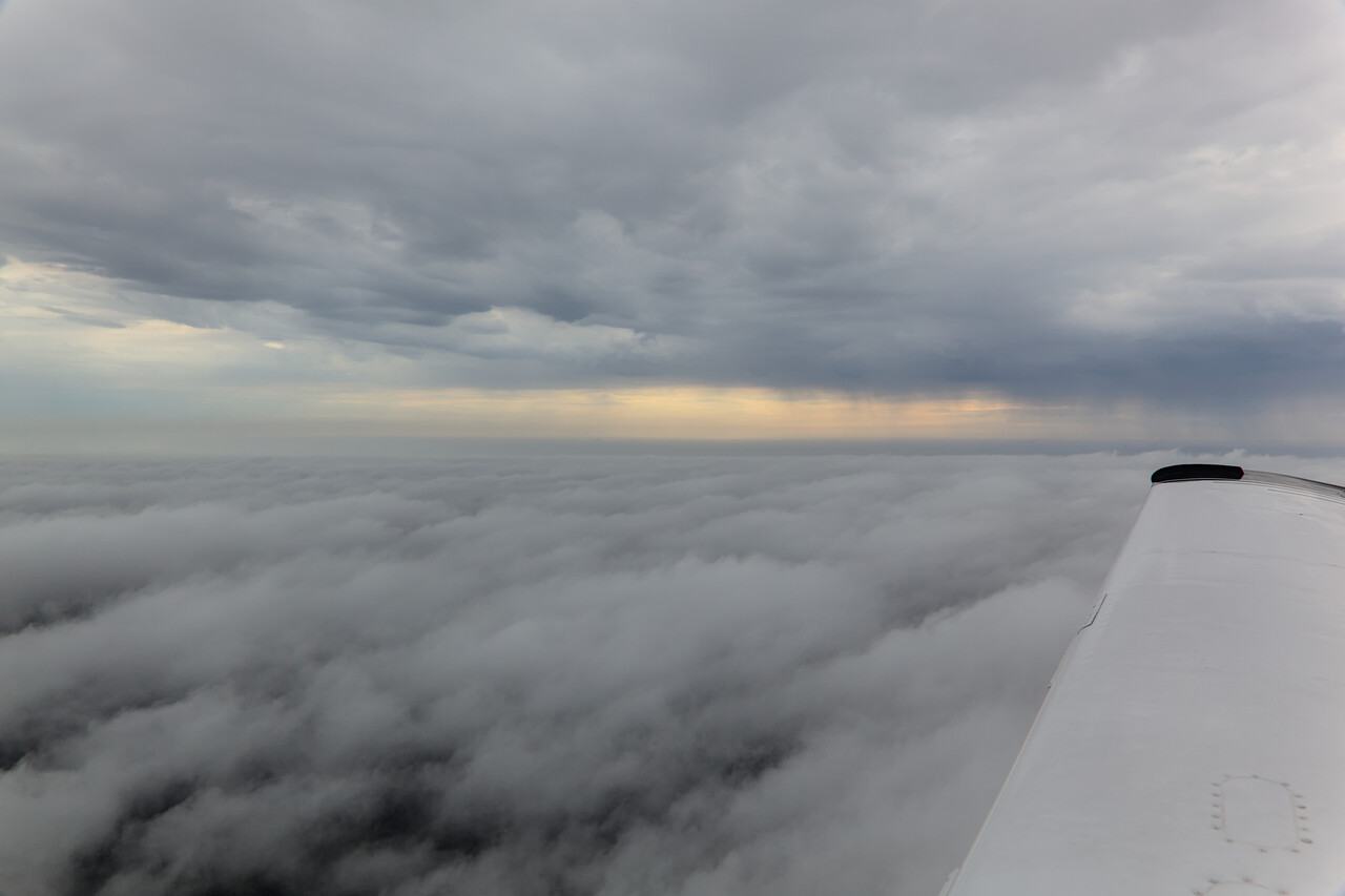
Unfortunately weather didn’t stay that nice for another day, so we had to file IFR to get to Melbourne.
Melbourne to Adelaide via Ararat
While we were on our own in Tassie, we were about to meet fellow pilots again at the next three stops. Once more we had the privilege of meeting extremely hospitable nice and humorous people. The two relatively short legs took us from Victoria to South Australia.
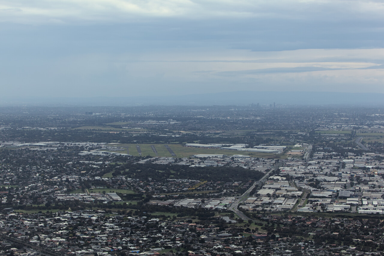
There are two GA airfields serving Melbourne. Both aren’t too close to the center, but have public transport access. We opted for the one with lower fees, which was Moorabbin, YMMB. They have no less than ten runway ends at YMMB and a lot of traffic. A strong northerly wind was blowing when we arrived so 35 left and right were active. Apparently 35R is used for pattern work but it is the only one with an instrument approach, so we had to swing over to 35L.
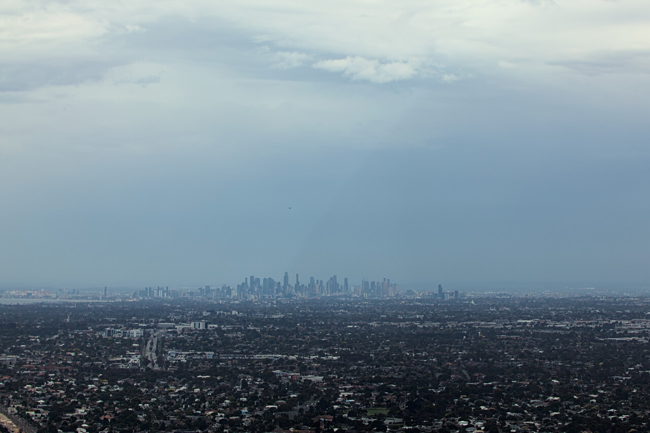
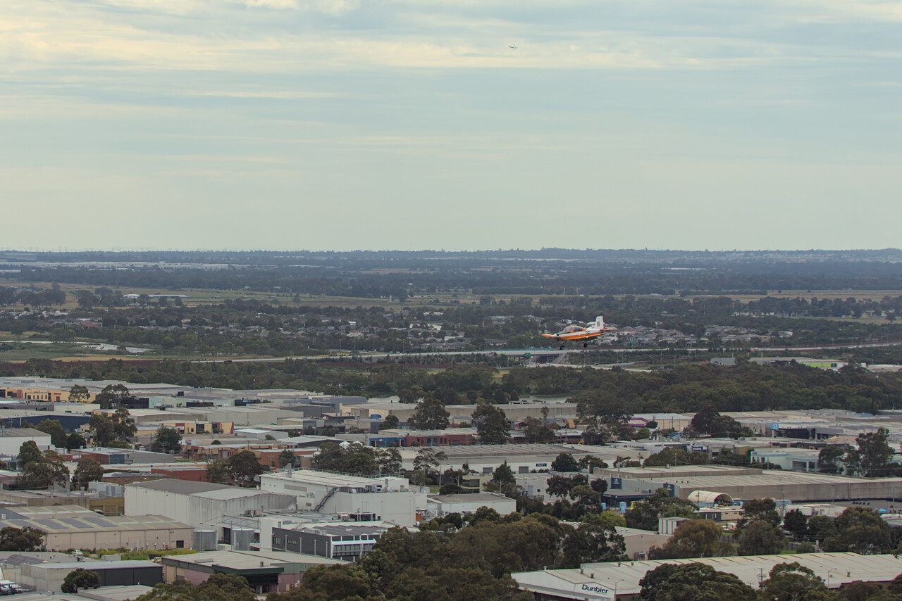
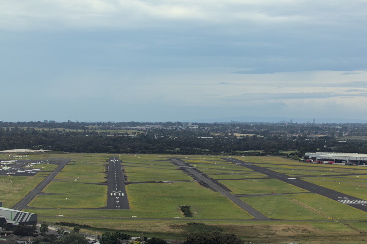
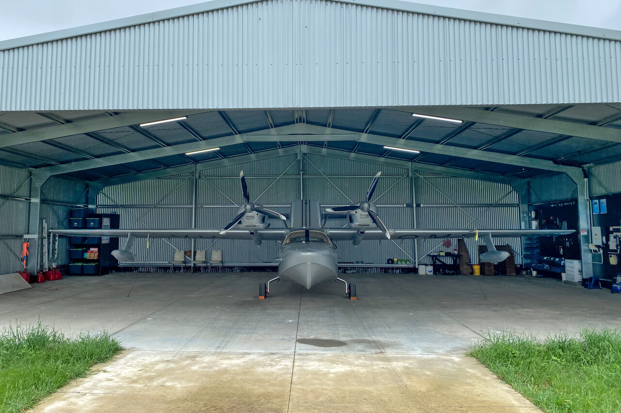
Unfortunately it started raining heavily shortly after our arrival and it wouldn’t stop for 24 hours, so we didn’t see much of the city. We were invited by adventurer Michael Smith the next day. He owns a private strip where he has based his new toy, a twin Rotax 915iS equipped experimental flying boat. Michael invited us to his home where we were treated with buttered scones, lemon curd, cream and jam. In an email he had written that “unfortunately not enough people take the time to have a proper adventure…”. We felt this invitation was a great honor 🙂.
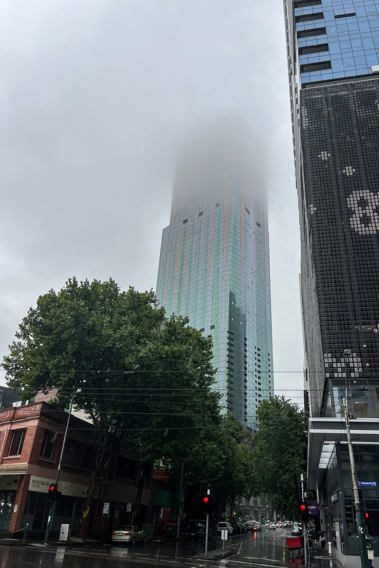
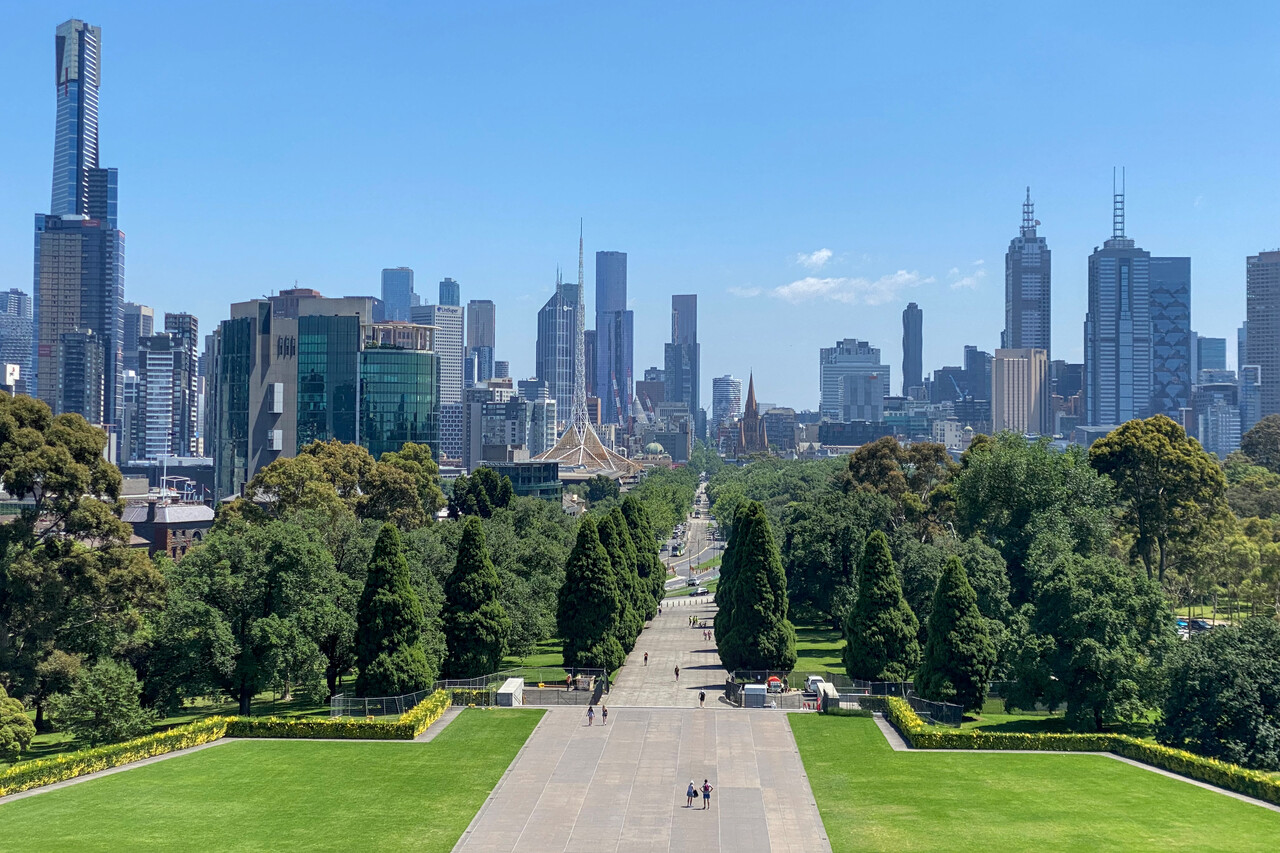
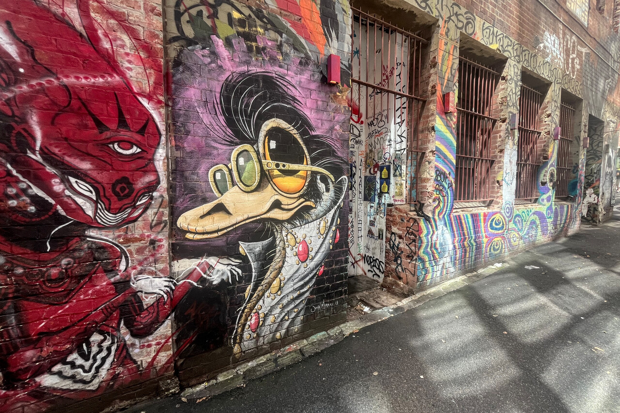
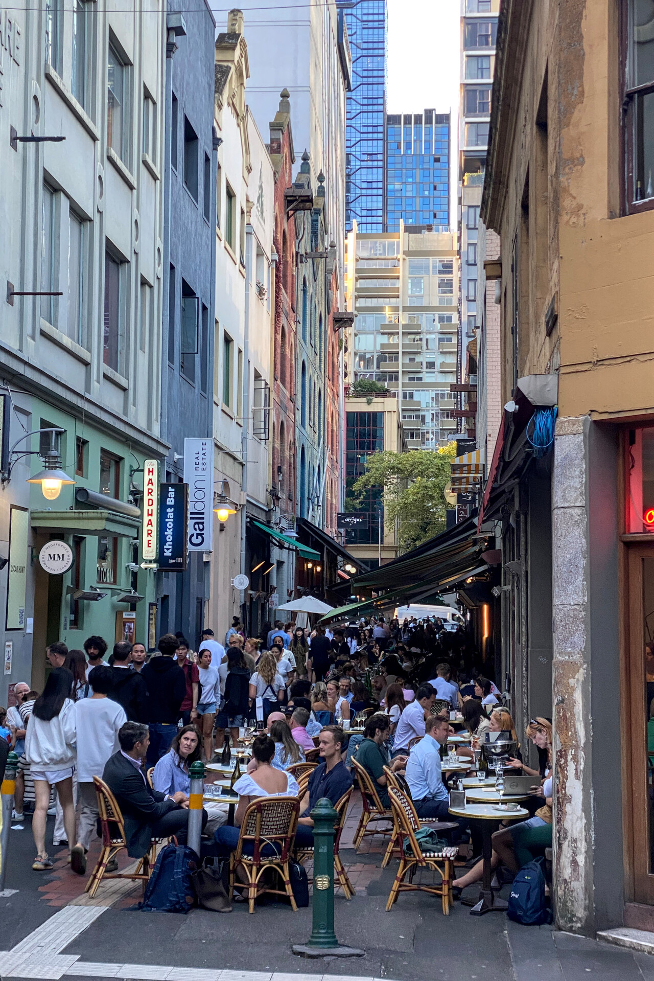
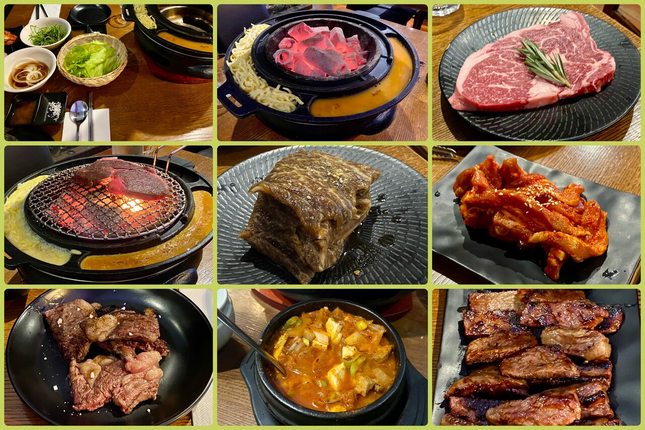
Melbourne doesn’t have the spectacular setting of Sydney, but its vibrant atmosphere easily makes up for that. The city is famous for its street art and it is very lively. Moreover, it’s famous for its restaurant and food scene. Many of the inhabitants have Asian roots and they have brought their cuisines with them. We were at a couple of Asian restaurants during our stay, and a Korean place was really memorable, but this might be because we’ve never been to Korea.
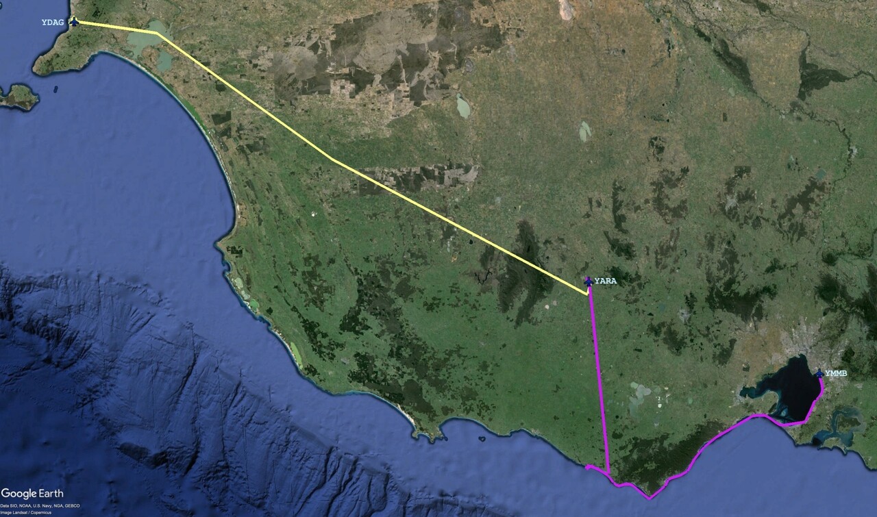
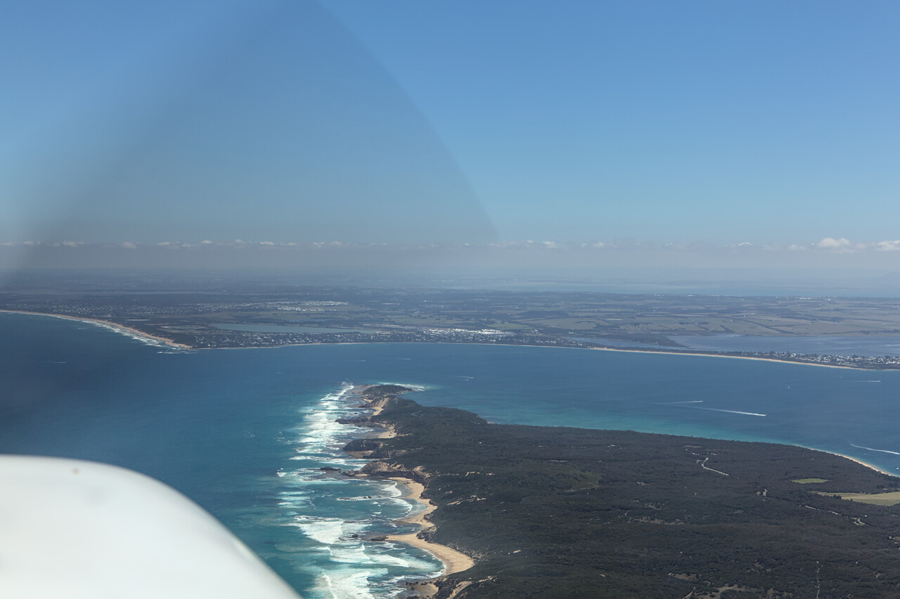
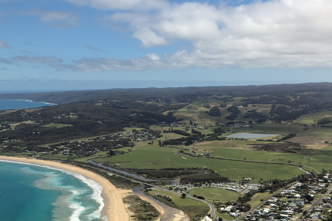
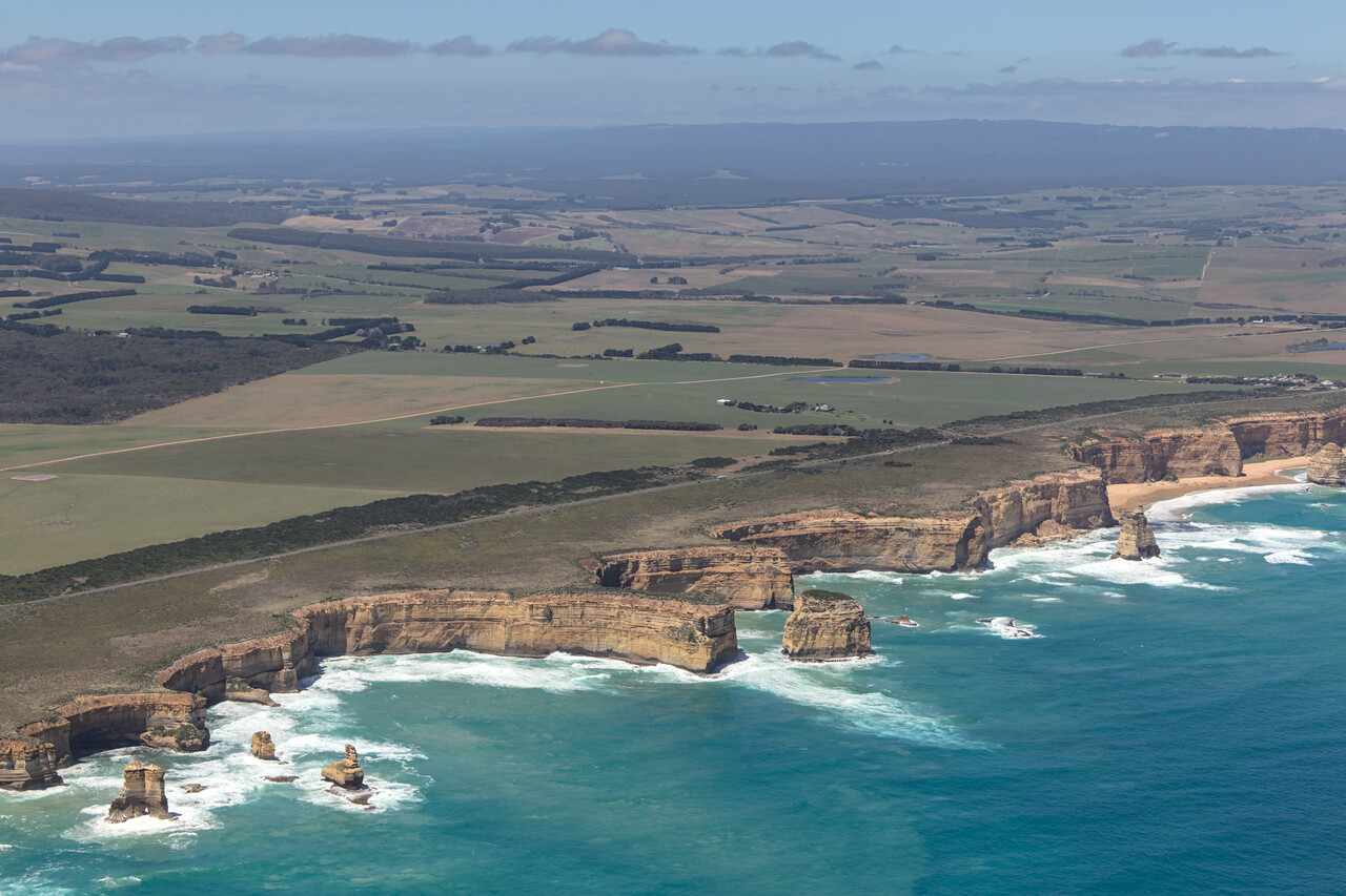
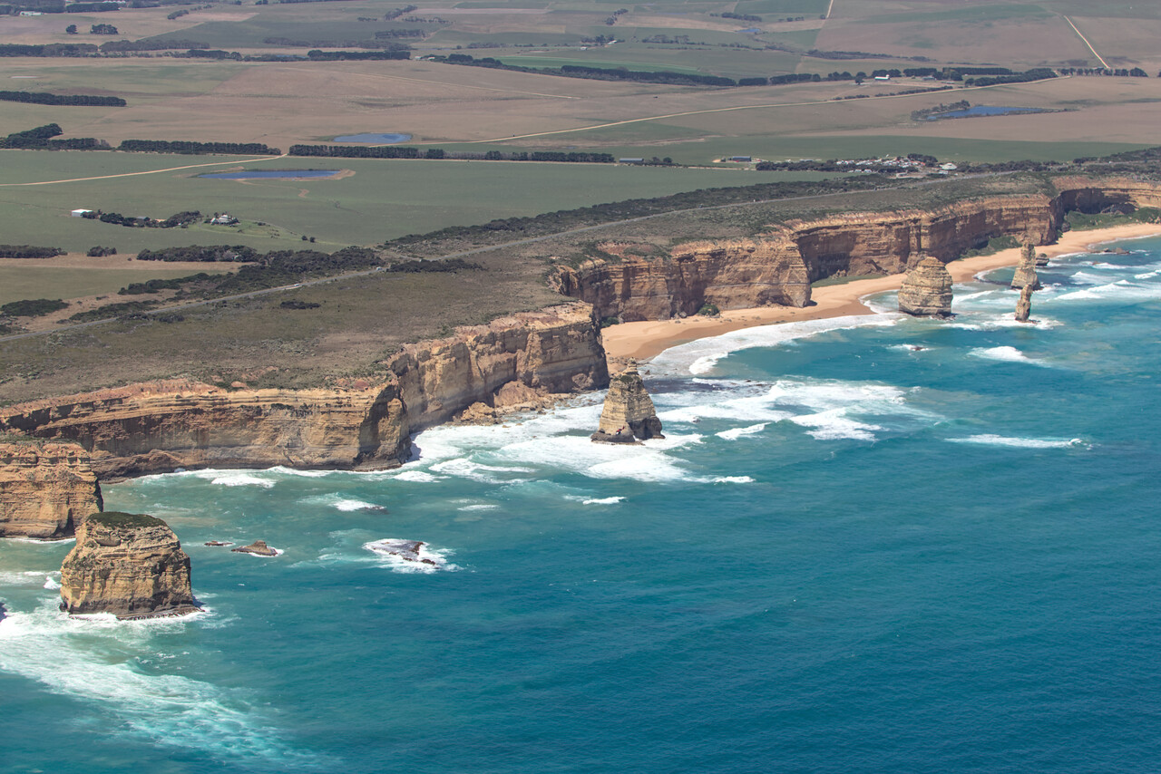
Our next destination was Ararat, YARA where we had been invited by Jim and Sue. We didn’t fly directly but followed the coast to see the Twelve Apostles – rock formations on Victoria’s south coast. Some are needles and others are more solid rocks. Some collapsed in recent years but interestingly, even before that, there never were twelve of them. The name is apparently a marketing stunt of the tourism promotion board.
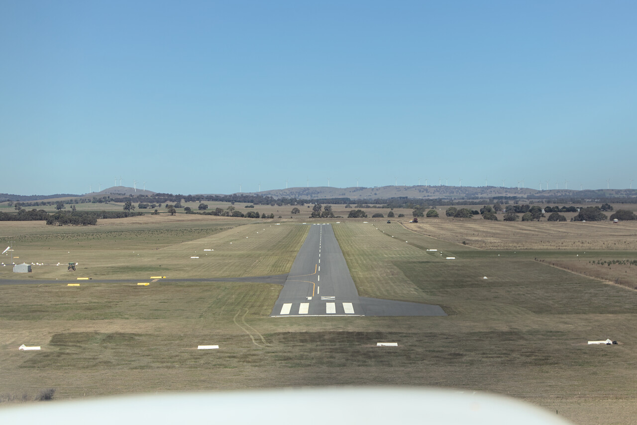
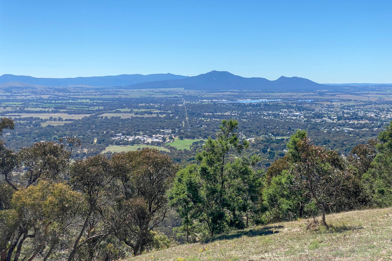
Jim is a former Mooney pilot who now flies a cute little Luscombe. He’s still an AMPA member and he had invited us in the very beginning. He told us that he’s from a family of wine makers, what was enough for us to highly prioritize his invitation. It turned out to be a highlight of our trip. Ararat is situated at the foot of the Grampians, a nice little mountain range. Jim awaited us at the airfield and let us put RM in his hangar.
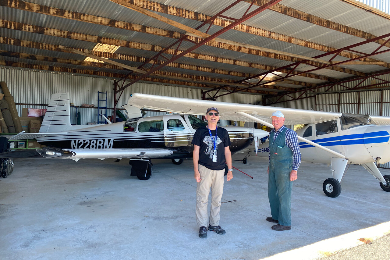
Jim and Sue are a couple with a great sense of humor and great love of food and wine. They took us out for dinner with their friends as if this was the most normal thing in the world and we had an incredibly fun evening with them.
Jim’s brother had taken over the family winery, while Jim had pursued a different successful career and is now retired for a couple of years. He has been livelong friends with the owner of Bests’ winery in neighboring Great Western, where he had arranged lunch and a wine tasting for the next day. I don’t know what Jim told his friend Viv, but he really dished up some excellent wines. At one point it turned out that Tina was born the same year as Viv’s daughter. He said "give me five minutes" and he came back with a bottle of Shiraz of that vintage.
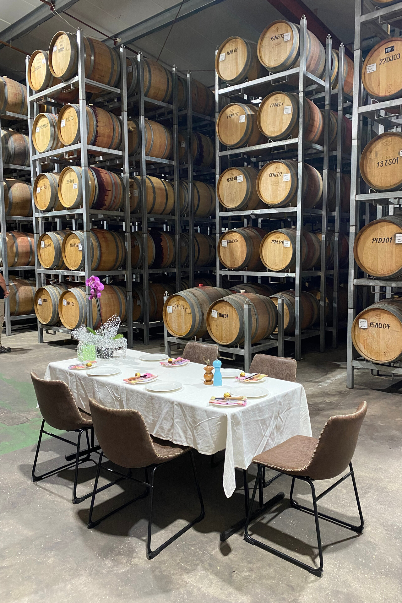
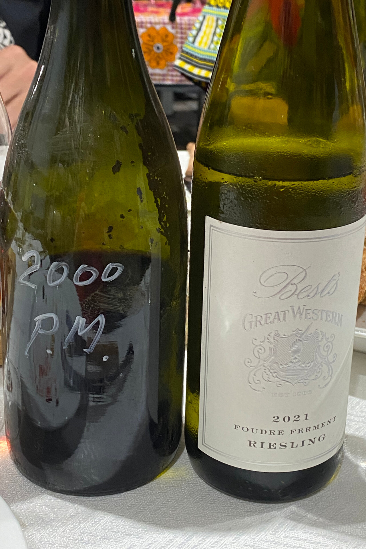
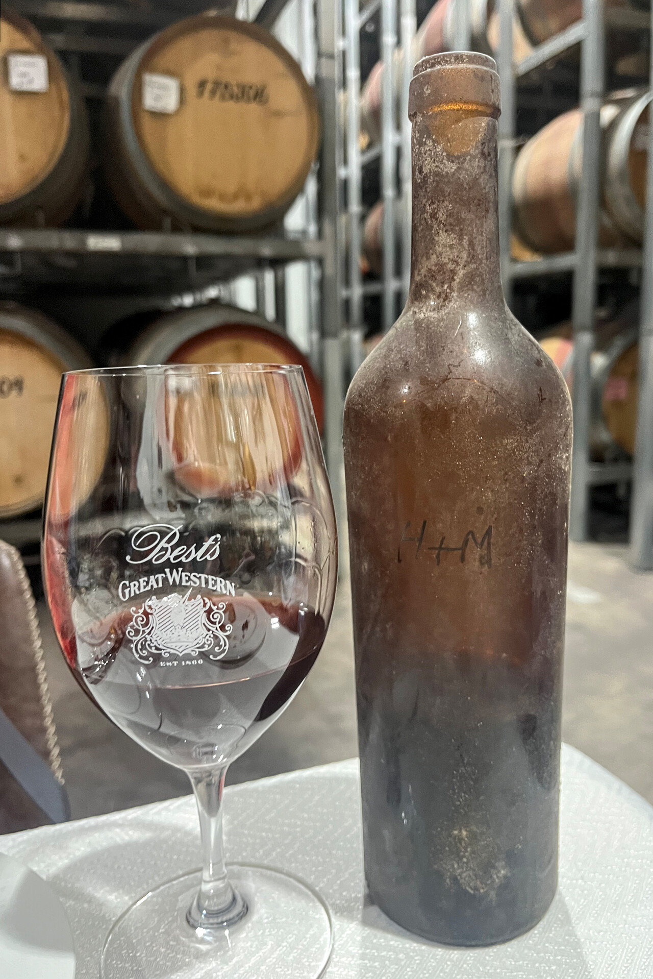
We had dinner at Jim’s and Sue’s home together with other friends of theirs. This evening Jim served wines produced by his family’s winery. Among them was a sparkling Shiraz what I never had before – it was superb.
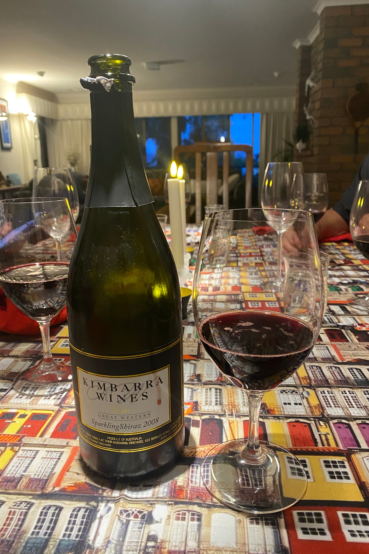
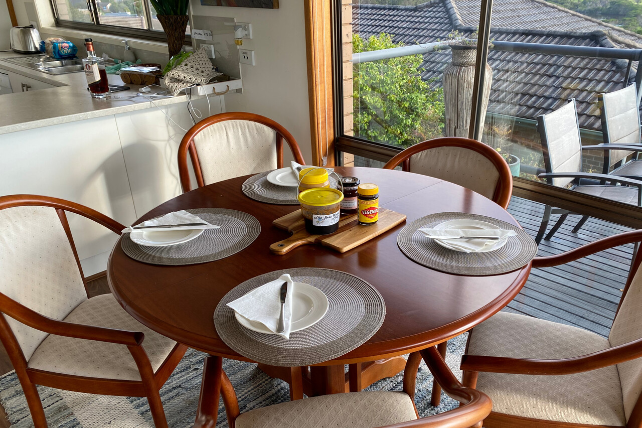
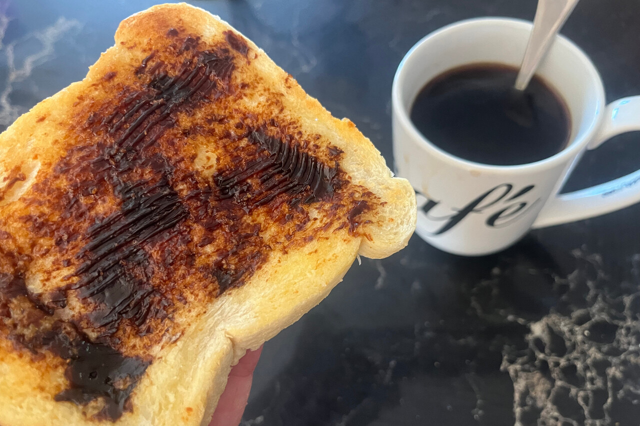
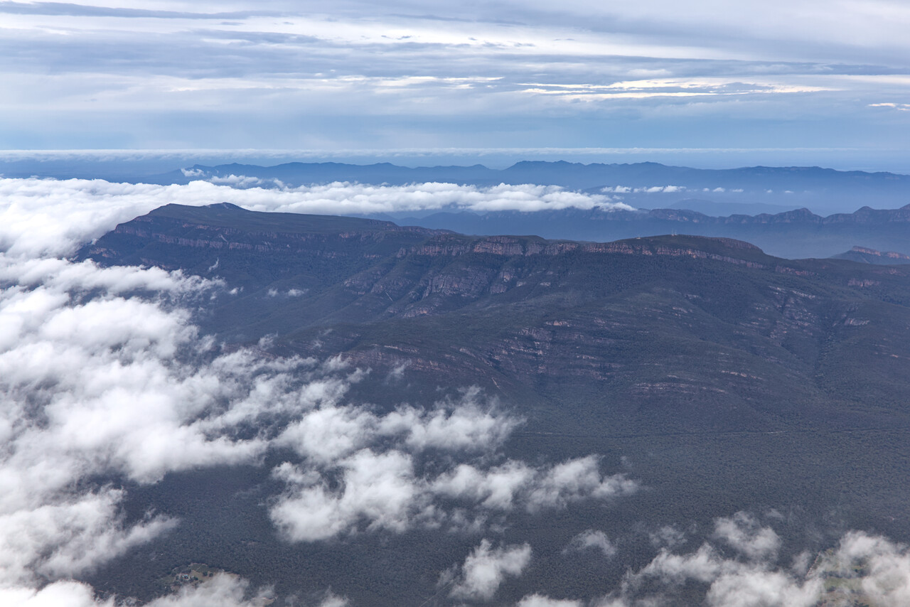
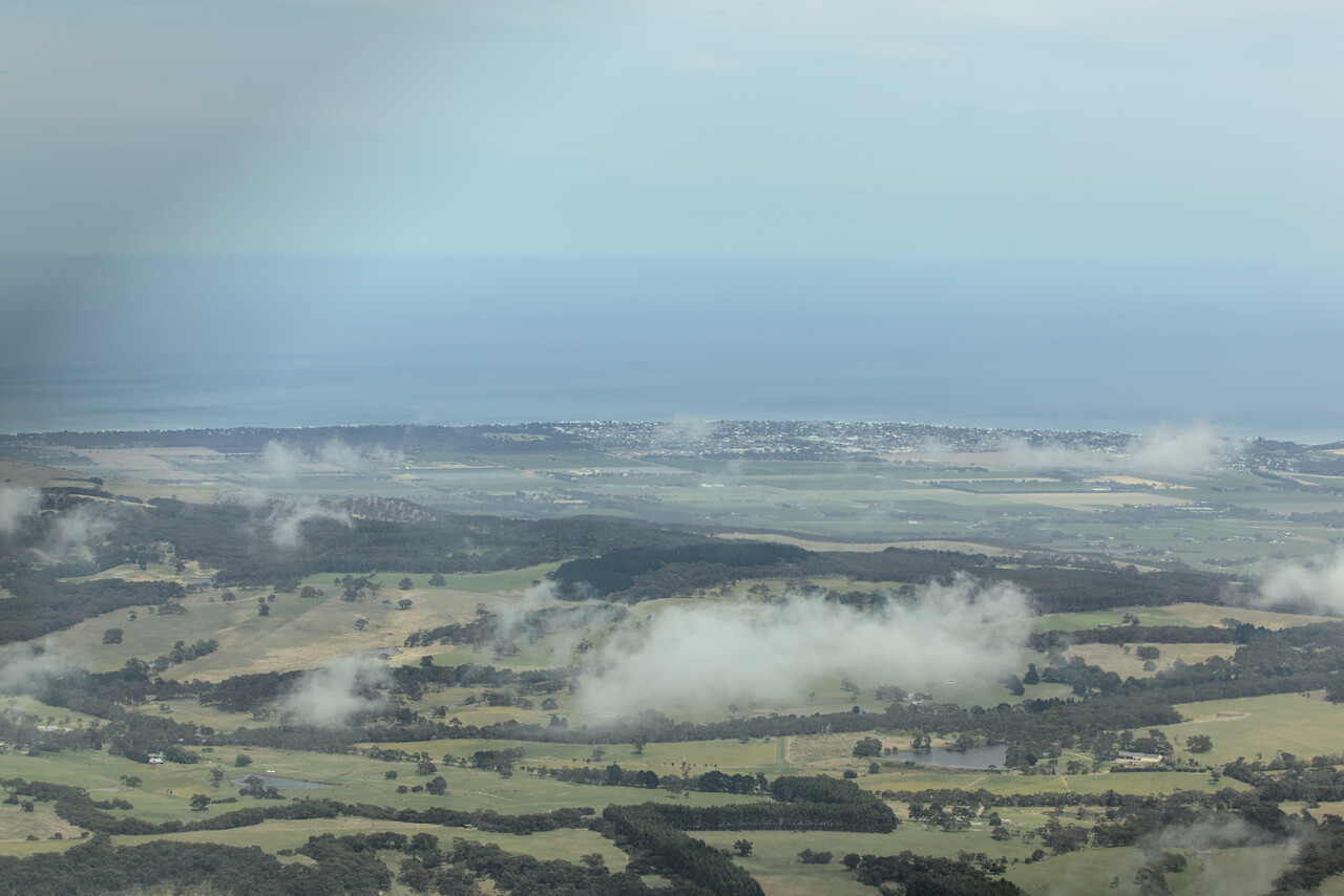
We didn’t feel like flying too early the next morning. I was sitting in Jim’s kitchen still a bit disoriented and something happened I knew only from the famous song’s lyrics: he just smiled and gave me a Vegemite sandwich 🤣 After a big mug of coffee everything looked much friendlier, so Jim and Sue drove us to the airfield and we departed towards South Australia. Unfortunately the coffee didn’t help to make the weather any friendlier. In the beginning there were low clouds and later it was quite windy.
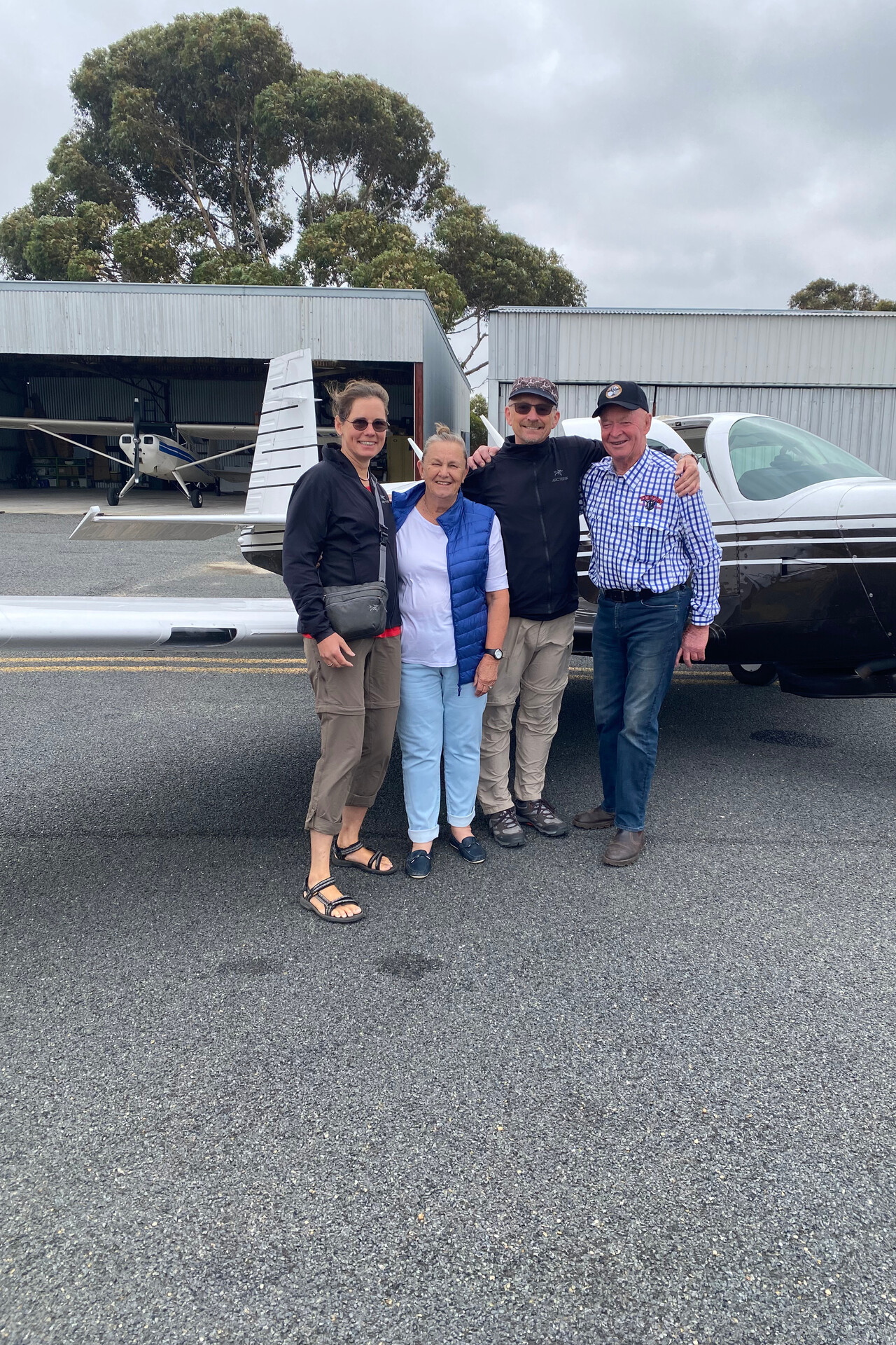
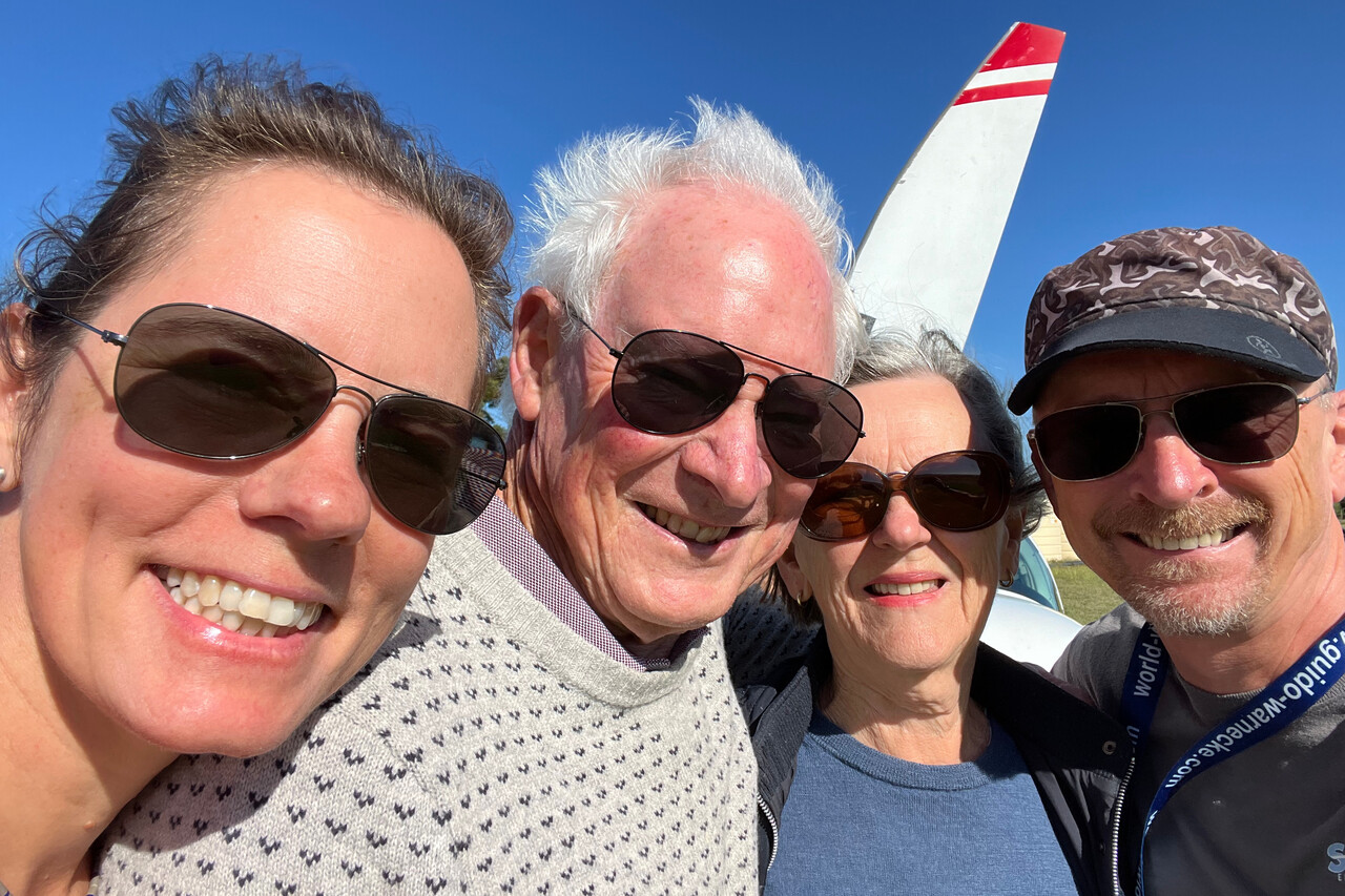
We had been invited by Owen and Sue (yes, another Sue 🙂) to stay with them at their home in the Adelaide Hills. Owen is an active AMPA member and he’s on the committee (board) there. Amongst other things he’s in charge of communication and runs the forum. It was Owen who sent out an email to all AMPA members where he announced us. We only got all the invitations and nice contacts because of his effort. Therefore it was particularly nice to finally meet him.
Moreover, Owen sorted out PPR to land at Aldinga, YADG, south of Adelaide. The field is privately owned by the hangar owners there. However, he warned us, the approach that day wouldn’t be any fun. Wind was blowing from the southeast so runway 14 had to be used which is not their preferred runway. There is a little mountain range in the extended centerline only 1200 feet high but its effect is tremendous. Owen had told us that the range would form a rotor and downwind would be very turbulent. Moreover, there would be a pronounced sink on final. Winds aloft were only around 25 knots and 17 knots on the ground, so I was not overly concerned. This complacency resulted in the first go-around of the journey 🤣 We were thrown around on downwind and I corrected for the sink on final too late but too aggressively – this was not a stabilized approach for sure. I was prepared on the second attempt and this time everything worked nicely.
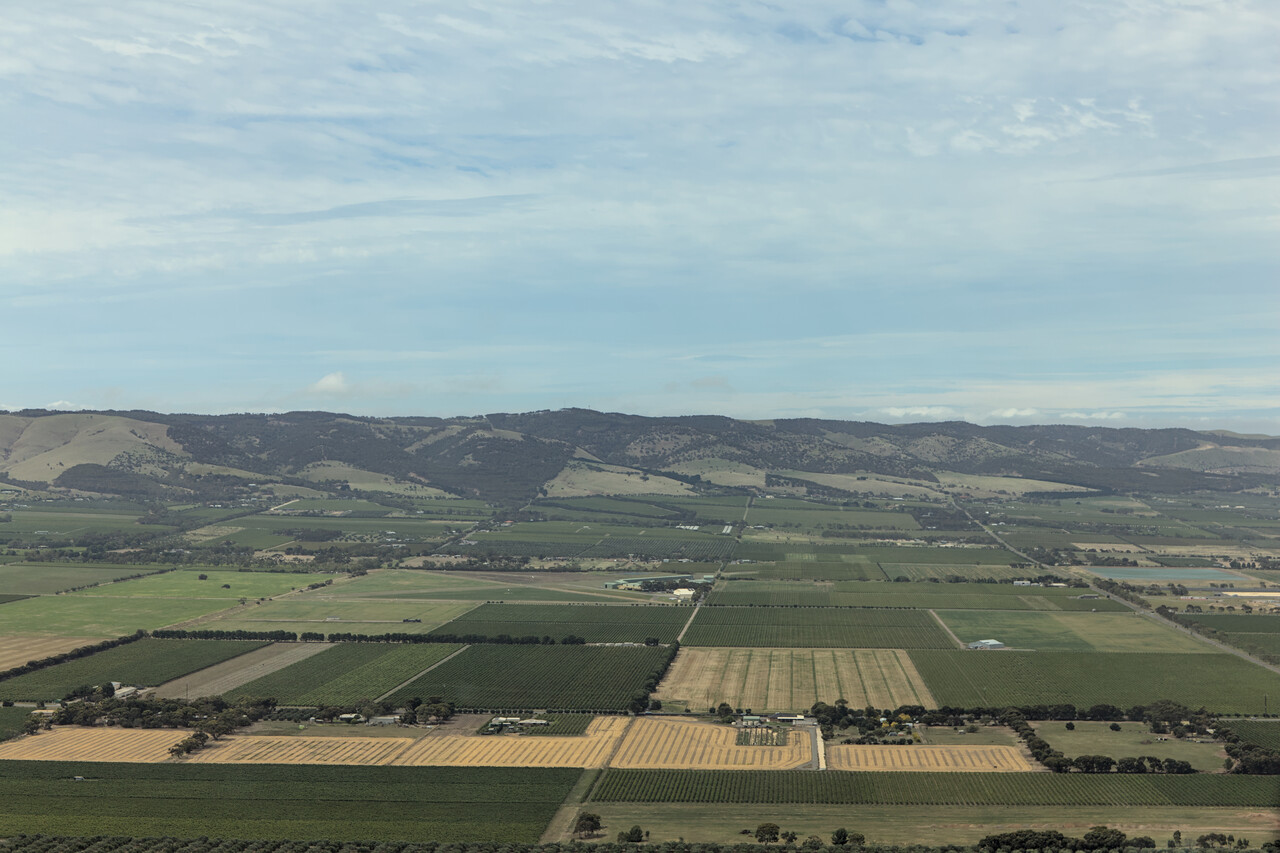
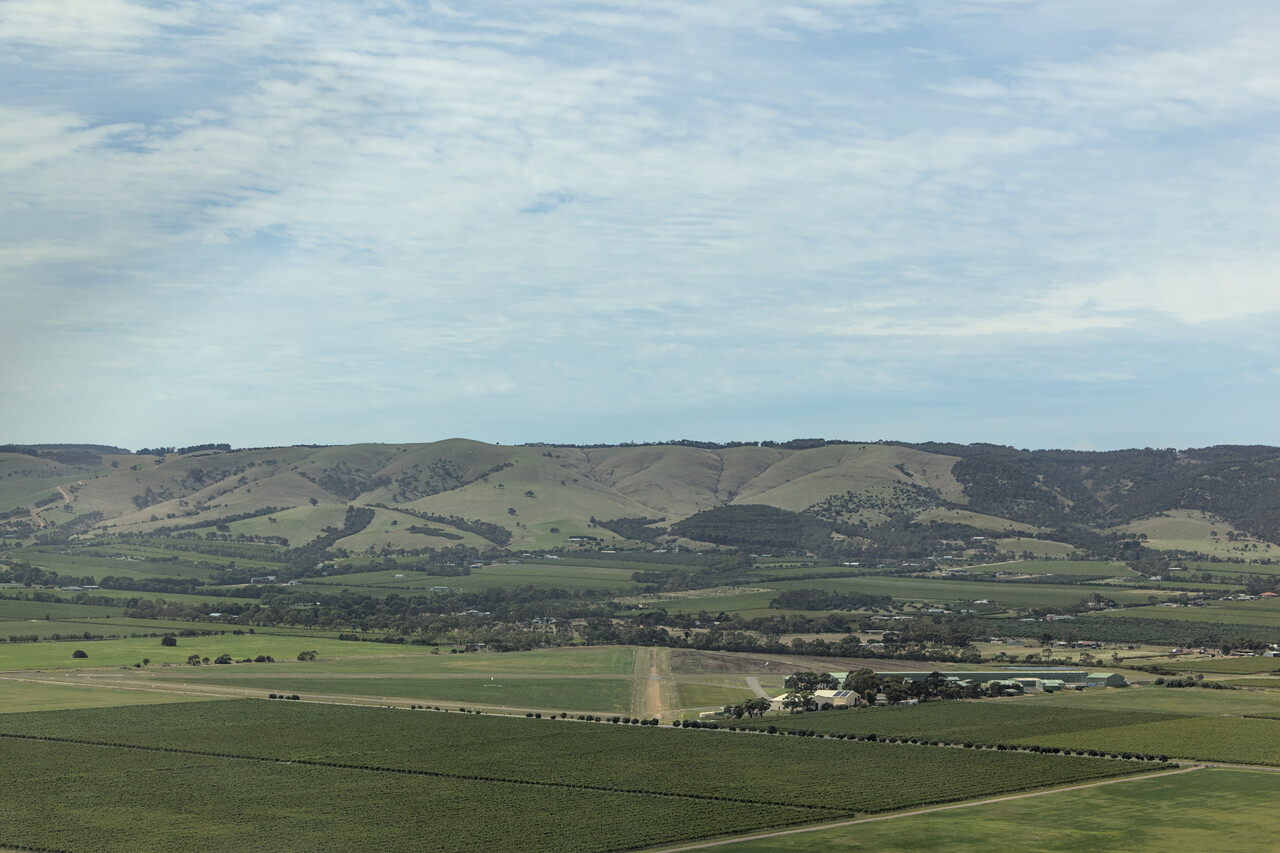
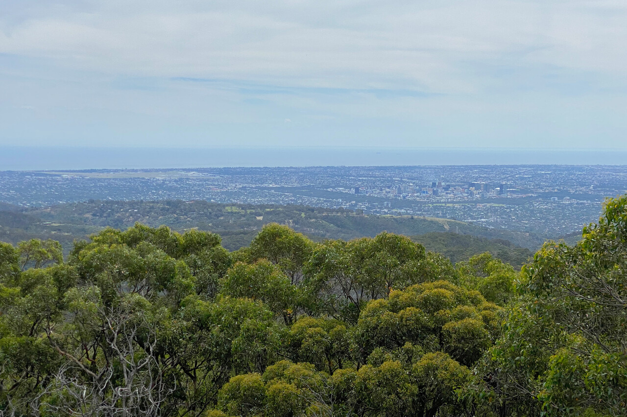
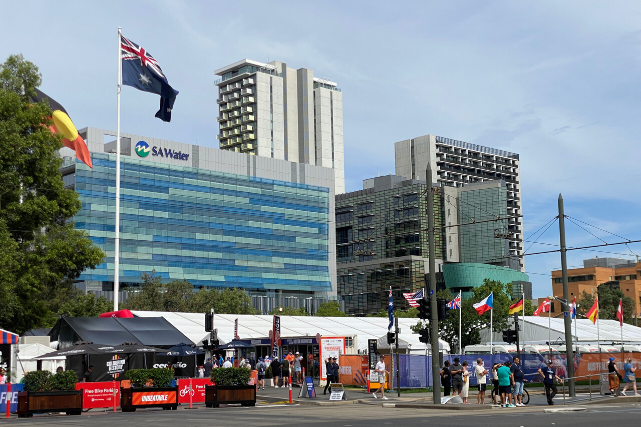
We visited Adelaide in the afternoon. Coming from Melbourne any city would have a hard time to impress. Adelaide in fact is a pleasant place, but not that much of a real city. Rather a large and friendly country town than a metropolis.
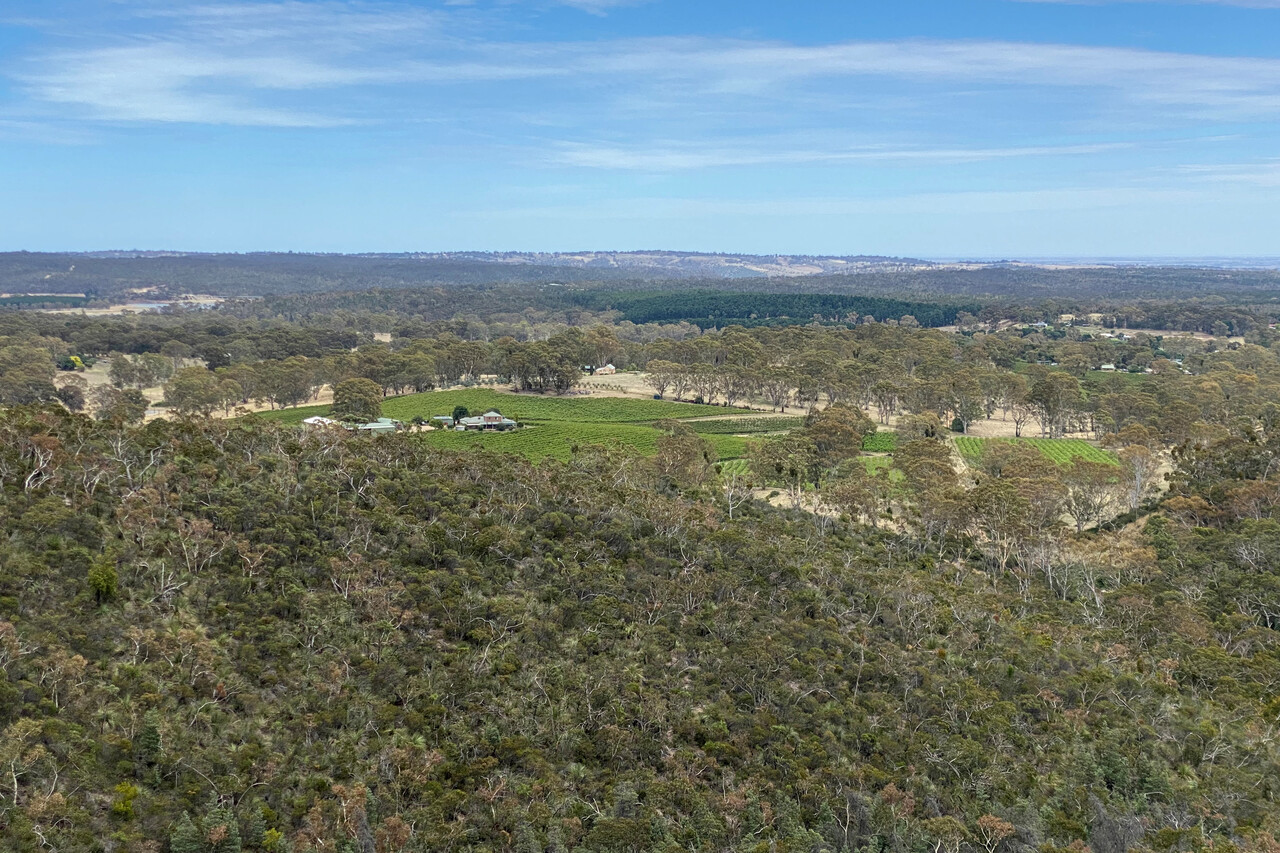
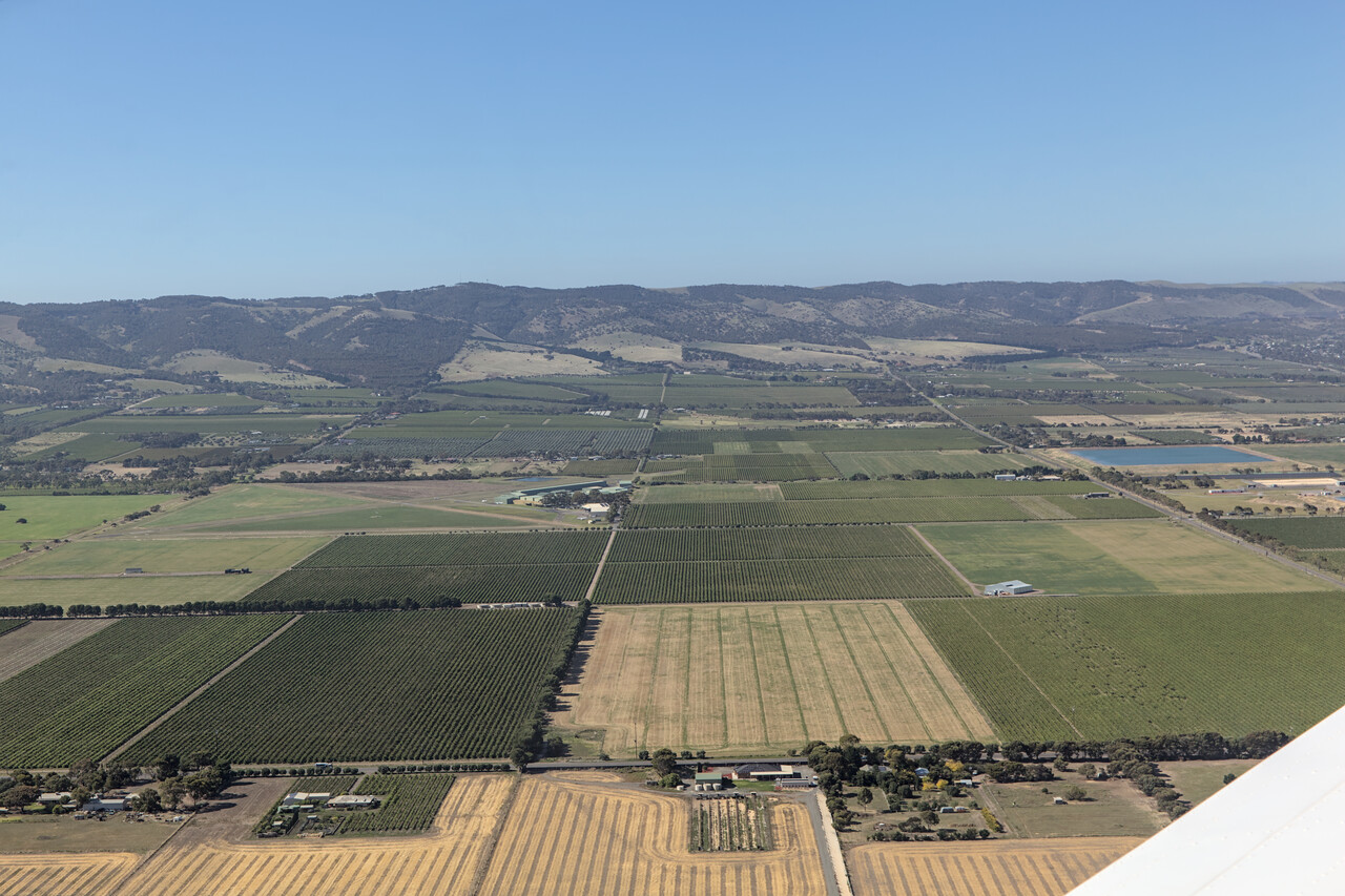
The next day we drove to Barossa Valley and around the Adelaide Hills where we had a nice walk. Early settlers came from Italy and Germany to the region what is still showing in the names of the towns here. Today it’s as Australian here as anywhere in the country but it still makes for a tourist attraction.
We spent two nice and fun days with our hosts. The first evening we went to the local hotel. At Australian hotels you can drink and eat but only at some of them you can also sleep – most establishments called hotel in Australia are pubs. The second evening Sue prepared an excellent paella and we were sitting on the deck talking till late.
Back to the desert
On of our walks in the Adelaide Hills we discussed how we wanted to continue our journey. The easternmost and southernmost points we would reach were already behind us. Even though we were really really a long way from home, we were actually on the way back. We decided that we hadn’t had enough of Australia’s outback and therefore we headed inland for the next three stops.
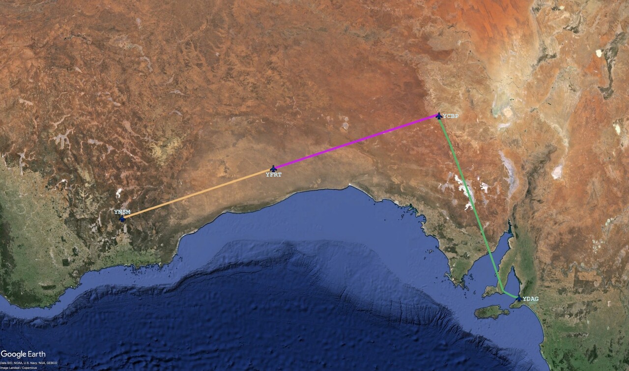
We left Aldinga for the famous desert settlement of Coober Pedy, YCBP. It was a completely uneventful flight in nice weather and we could enjoy the changing landscape beneath. The land closer to Adelaide was obviously used for agriculture but it got drier and drier quickly. Fields were replaced by pastures and after a while we really didn’t know what kind of stock could be raised down there. Finally it was complete desert again below us.
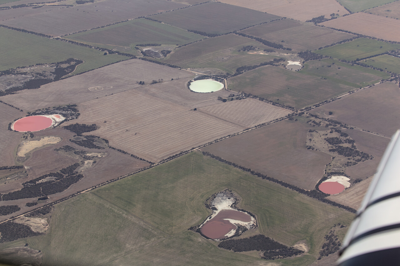
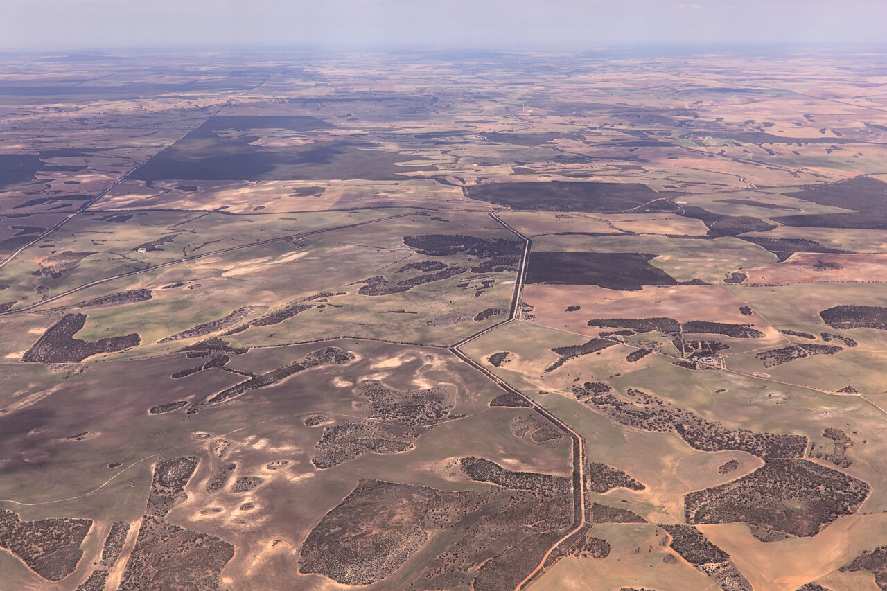
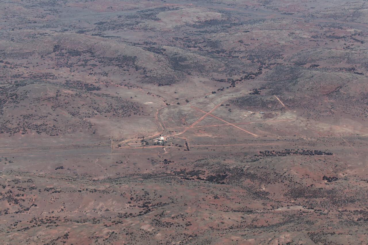
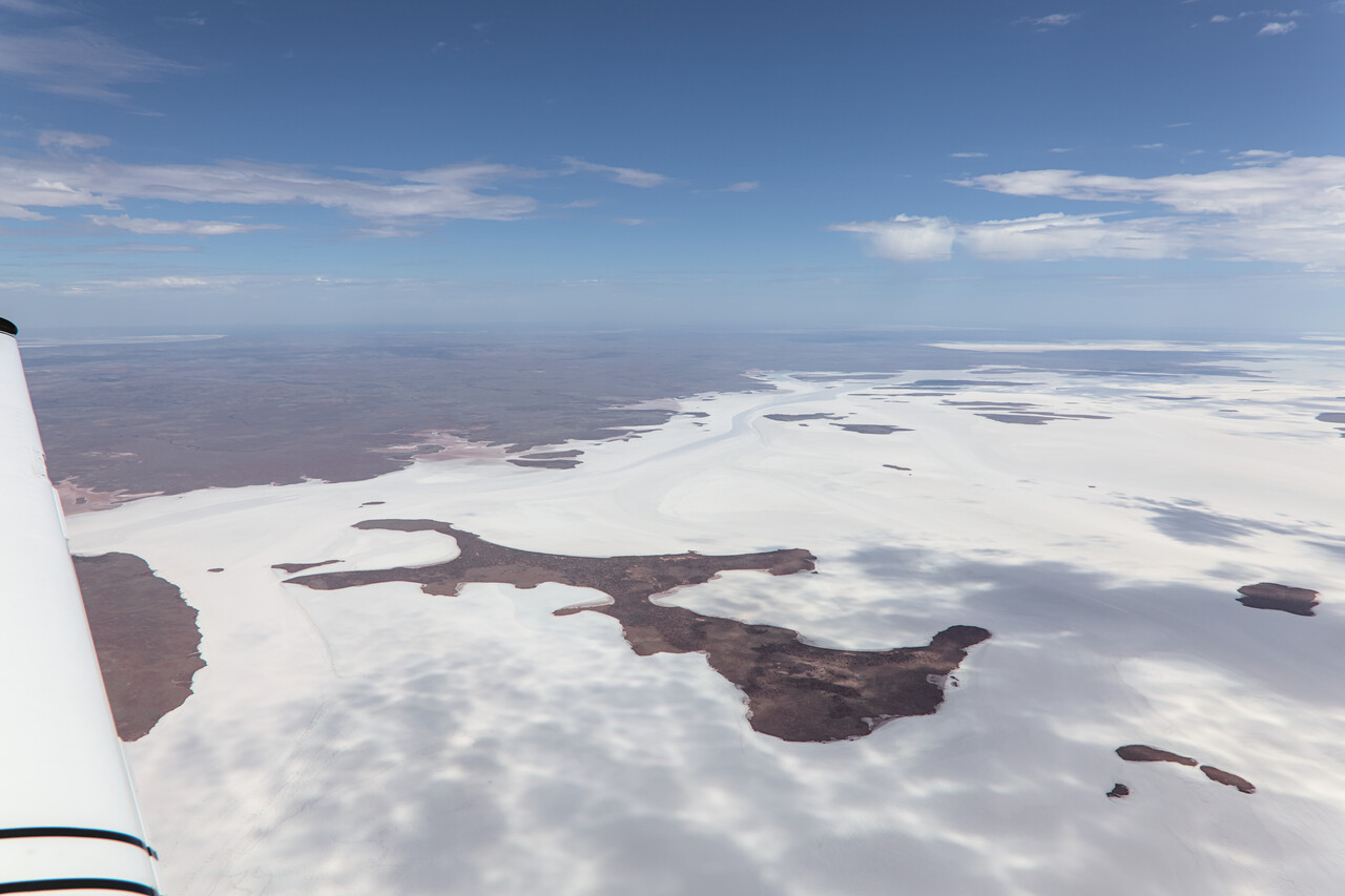
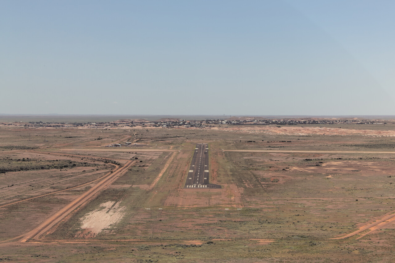
Allegedly Coober Pedy means "white man in a hole" in a local Aboriginal language. It’s an incredibly hot opal miners’ settlement in the desert. Opal mining is a highly unpredictable business and that’s why it’s not interesting for big companies, as we learned a bit later from an Australian geologist. Therefore mining in Coober Pedy is still on a small scale, literally a few white men digging holes.
The miners found out that it’s cooler in their mines than in their huts and therefore they moved underground. They called their homes dugouts and these are tourist attractions today. Of course we stayed in a dugout for a night as well. There are even underground churches, the one of the Serbian Orthodox congregation being the newest and largest one.
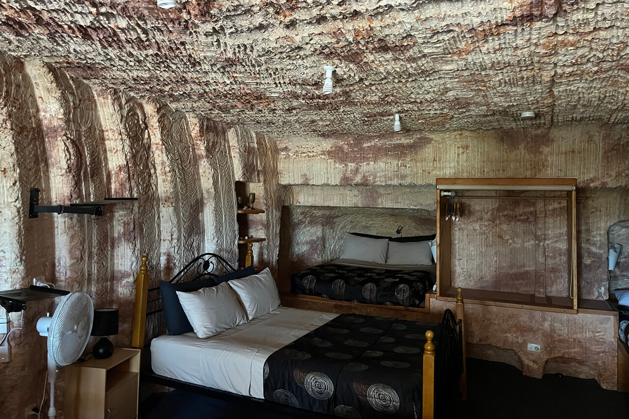
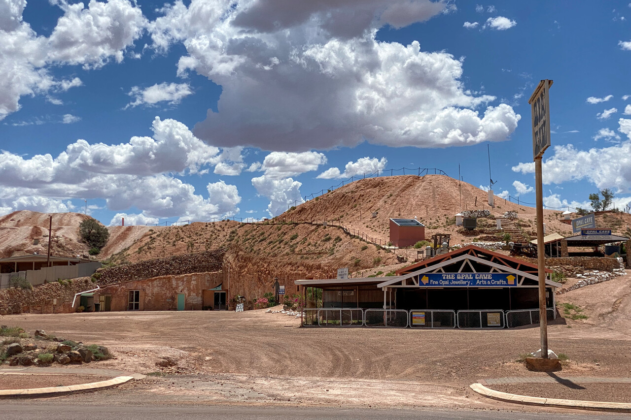
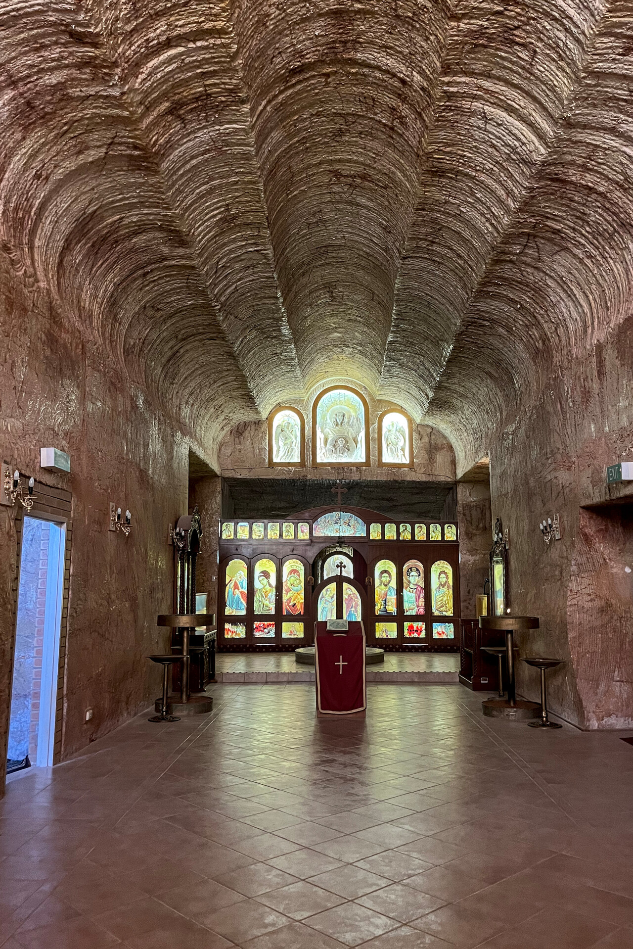
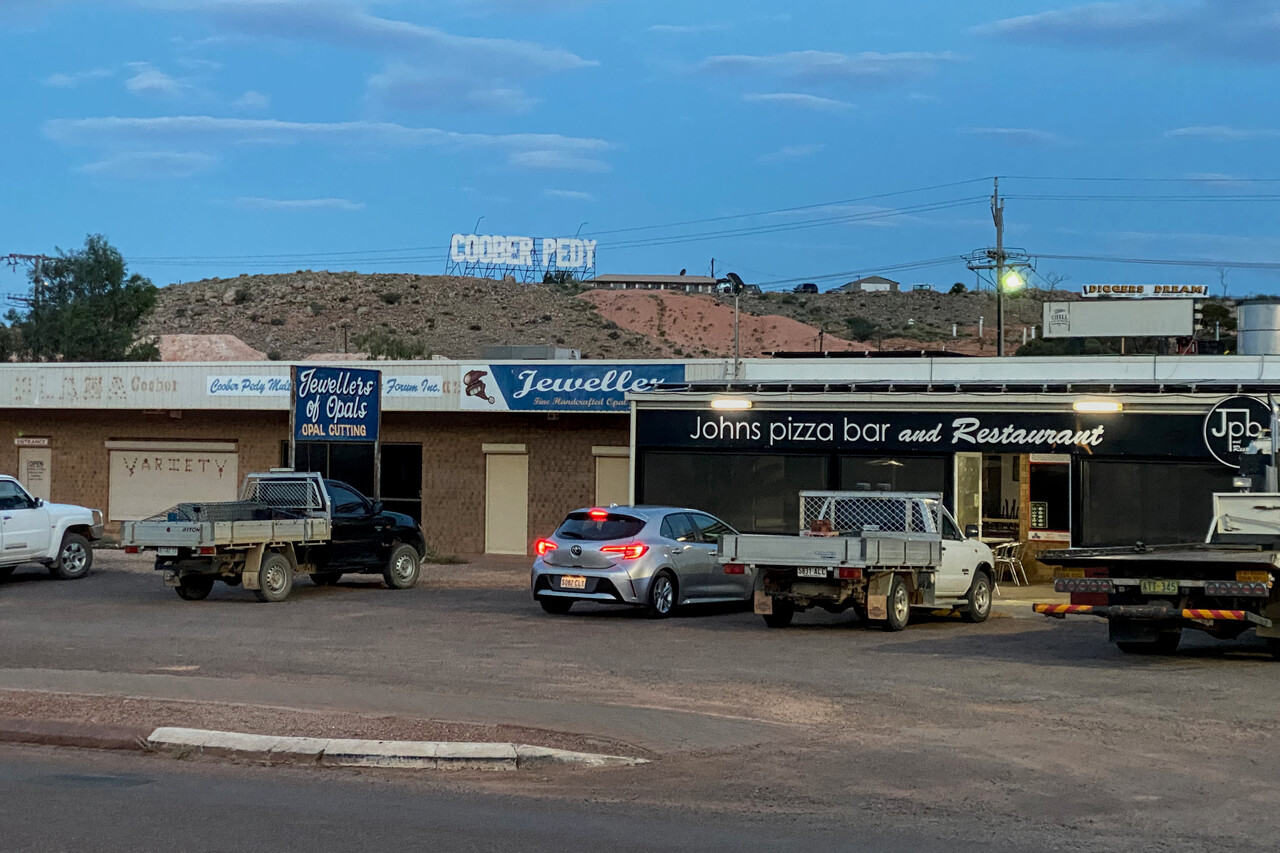
We continued to an interesting place called Forrest, YFRT just past the border to Western Australia the next day. A front was moving through which even brought a little rain to the desert, however, most of it didn’t reach the ground. The front wasn’t very active and we decided to cross it VFR down low. By the time we reached the Nullarbor Plain weather was nice again.
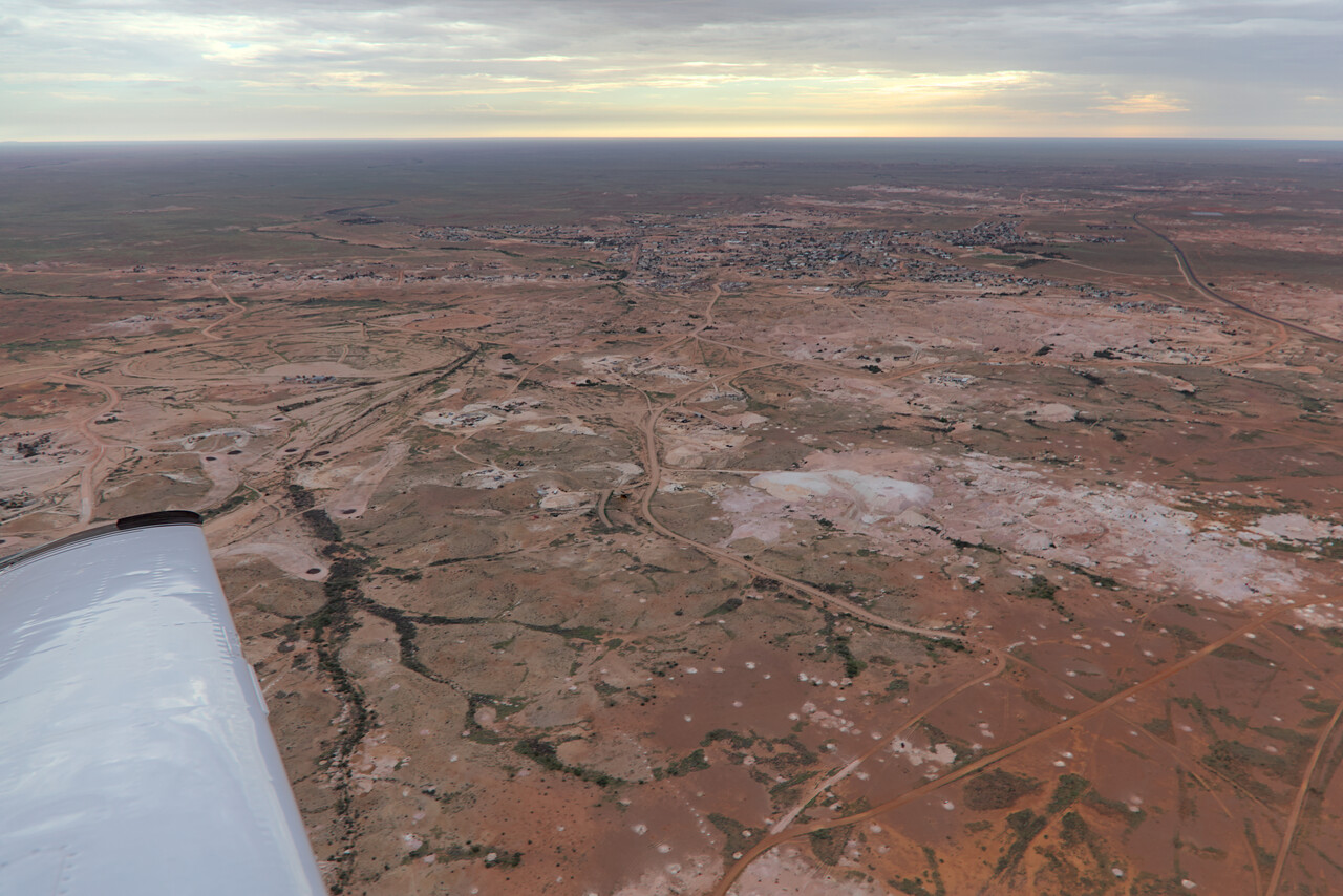
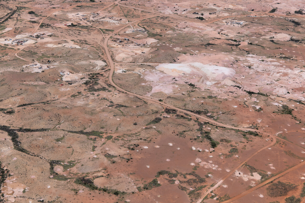
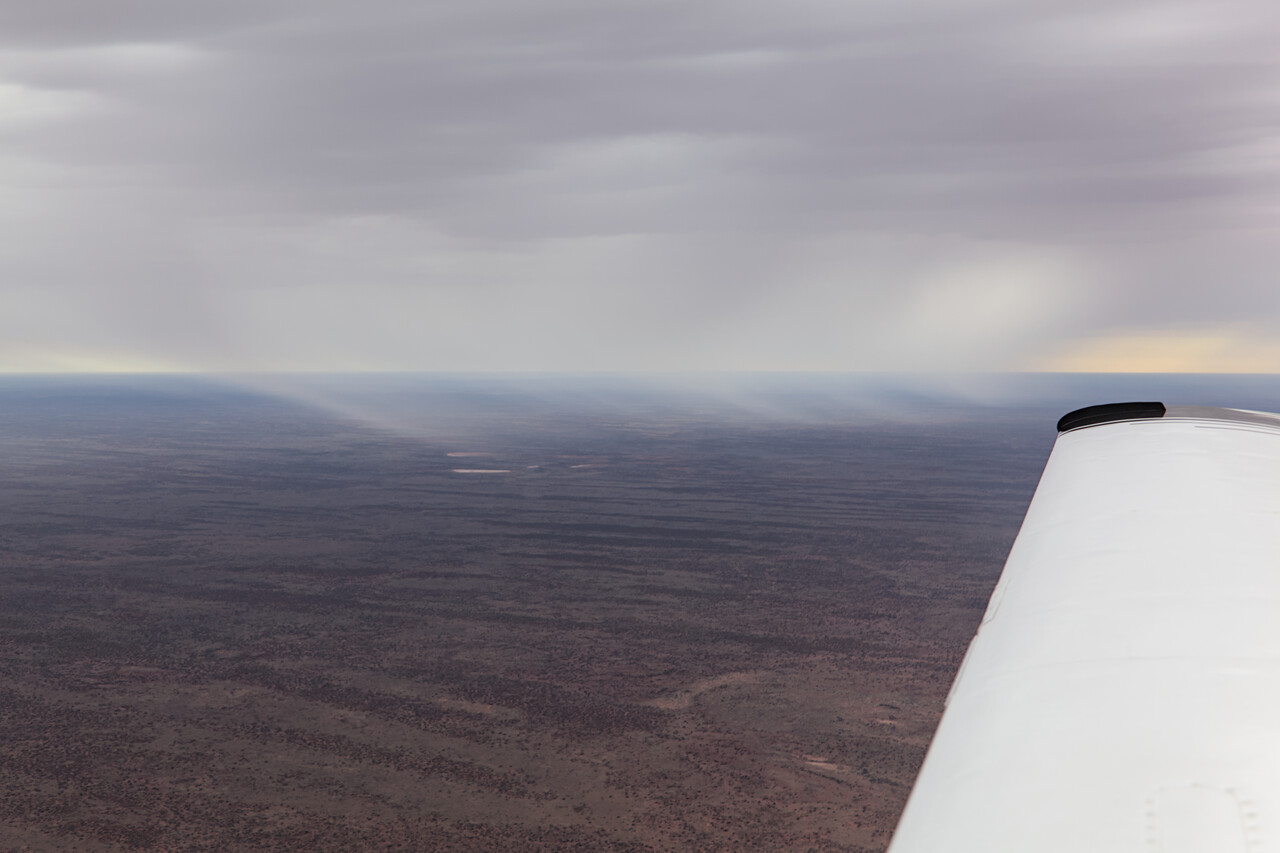
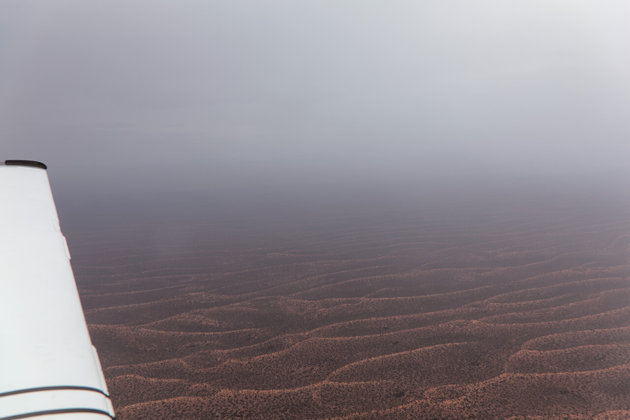
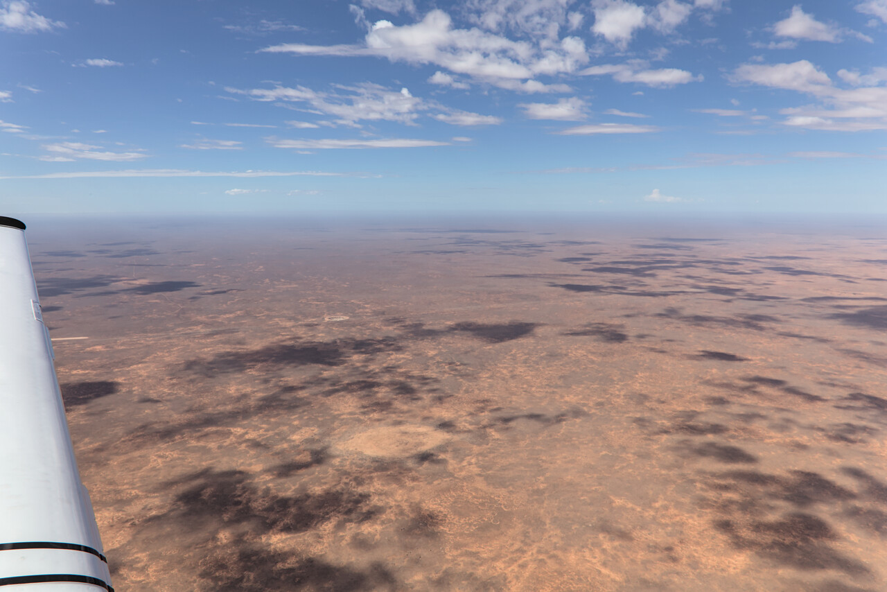
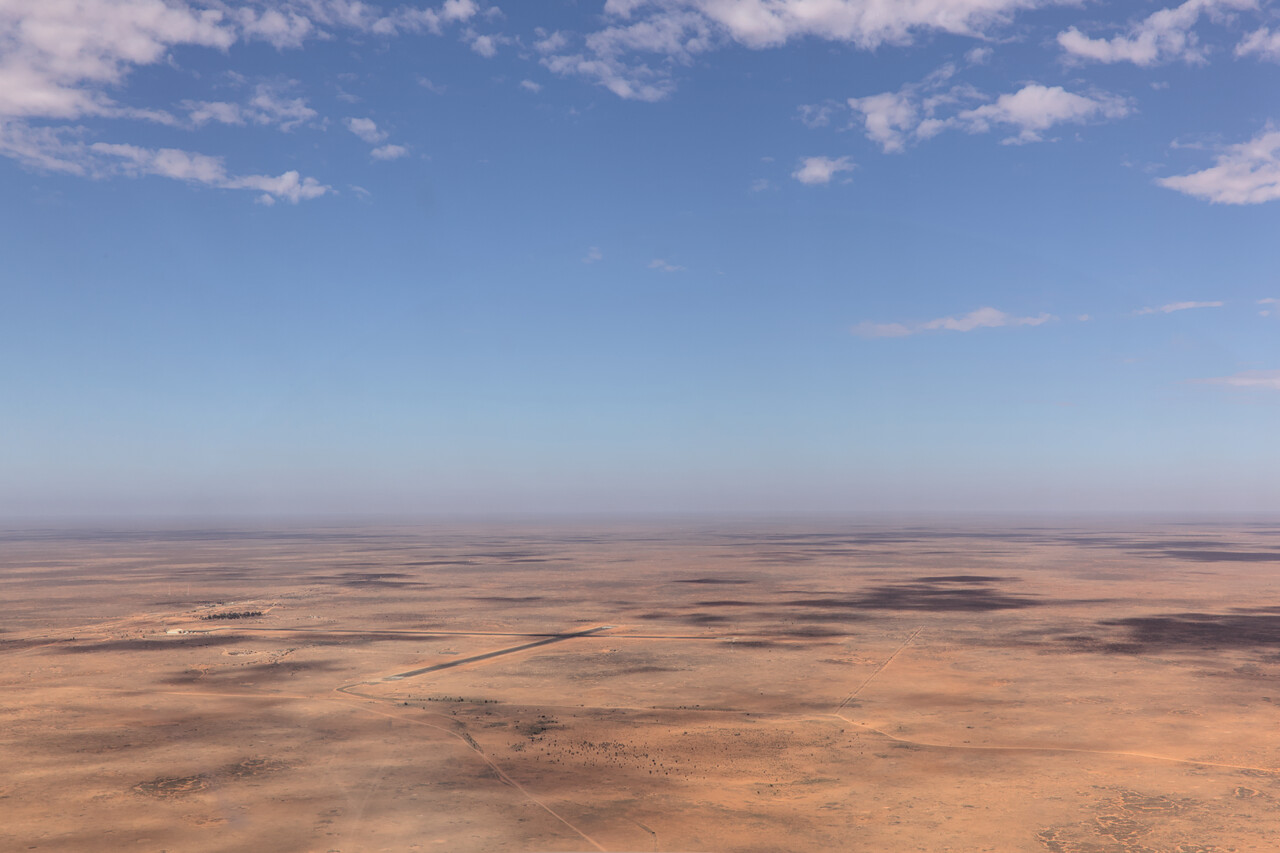
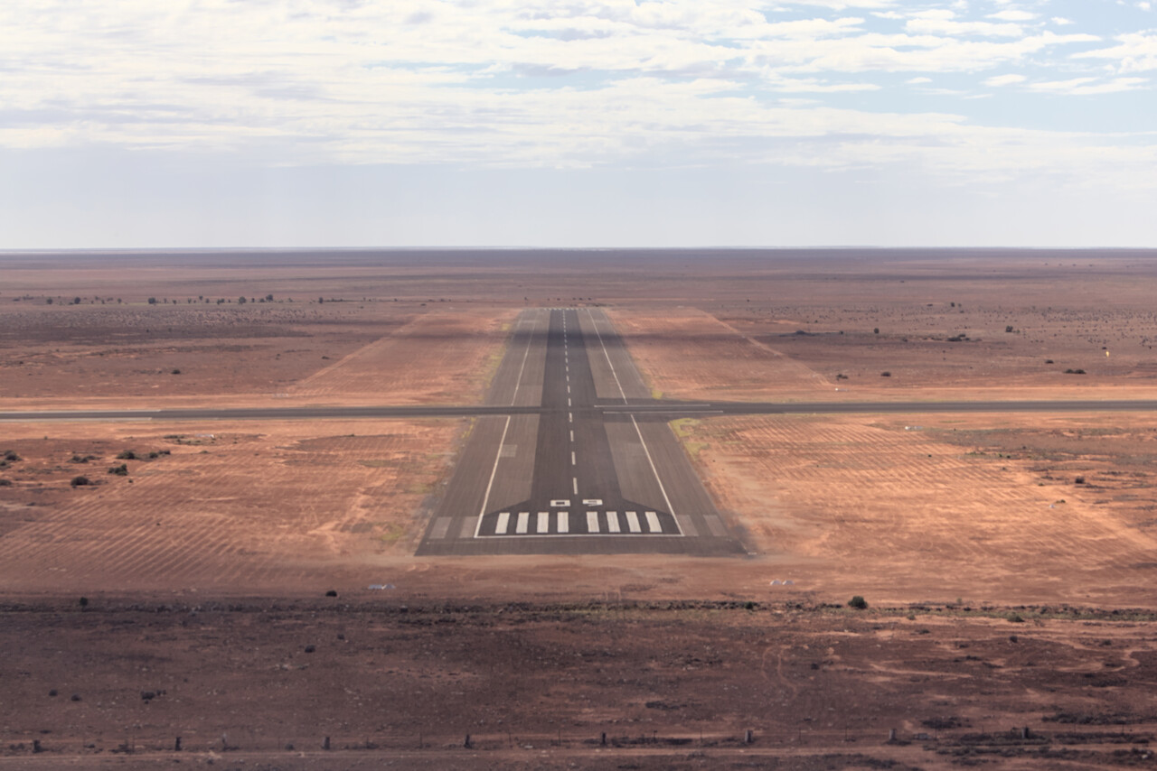
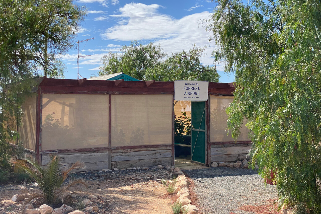
Forrest is situated on the Nullarbor Plain and was established during the construction of the Trans-Australian Railway. A couple of houses were built for railway service workers. In the 1920s the airport and later a weather station were added. In the beginning it was a regular stop for the flights from Adelaide to Perth and back. With increasing range of the larger aircraft it was only required with very bad winds. Diesel engines pulling the trains didn’t need service workers anymore and planes could fly between Adelaide and Perth even in unfavorable winds by the 50s. Twenty-five years later the manned weather station was replaced by an automated one and now the field is only used by transiting small GA aircraft and the Royal Flying Doctor Service. A caretaker couple lives an isolated life in one of the remaining houses. However, several of the other houses are also still there and are looked after by the two. They can be rented for a night and you can have dinner with the caretakers.
When we stayed in Forrest, one of the other houses was rented out to a geologist who supervised drillings in the area. We had dinner together along with a few cans of Swan Drought and we learned a lot about the Australian mining industry.
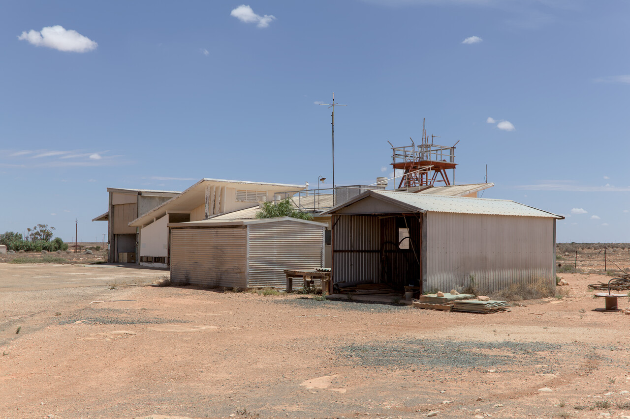
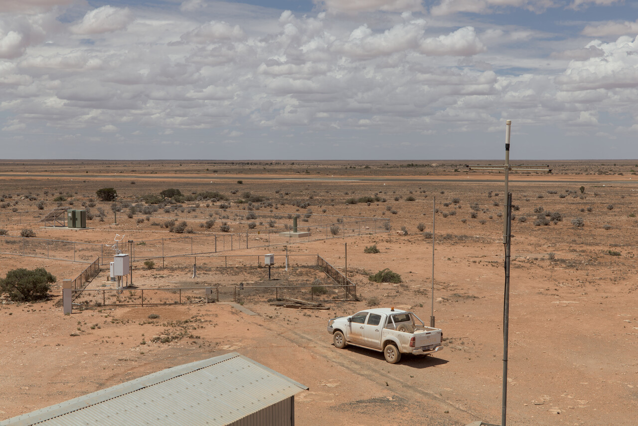
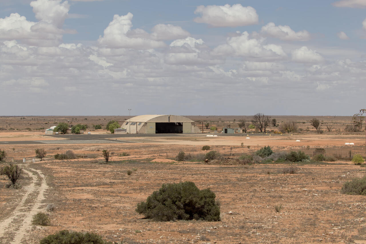
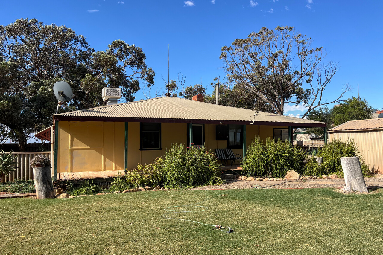
Our final outback stop was Norseman, YNSM, where we continued to the next day. This flight was in the best of weather again, over the Nullarbor Plain for the longest time.
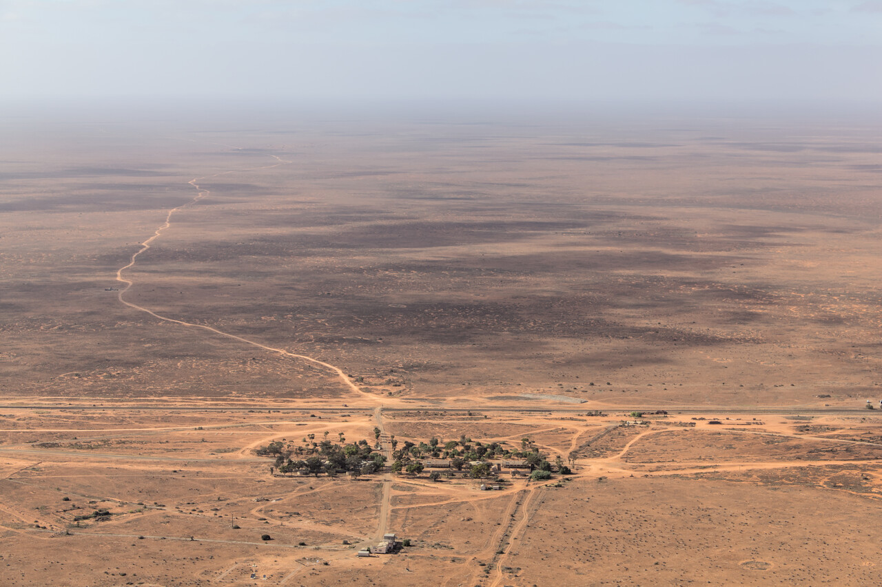
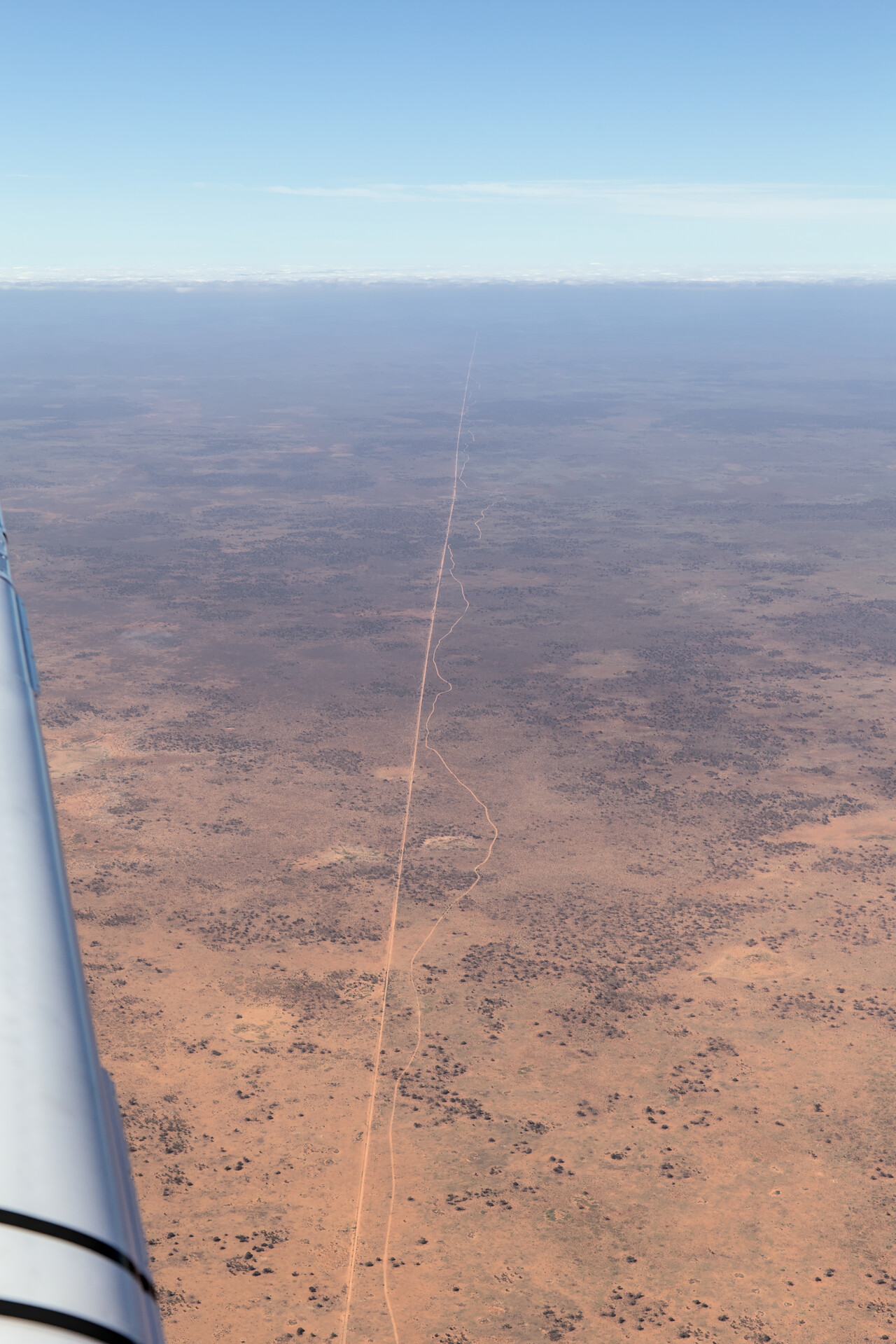
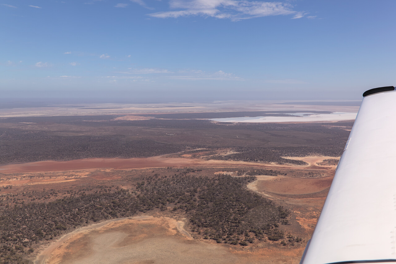
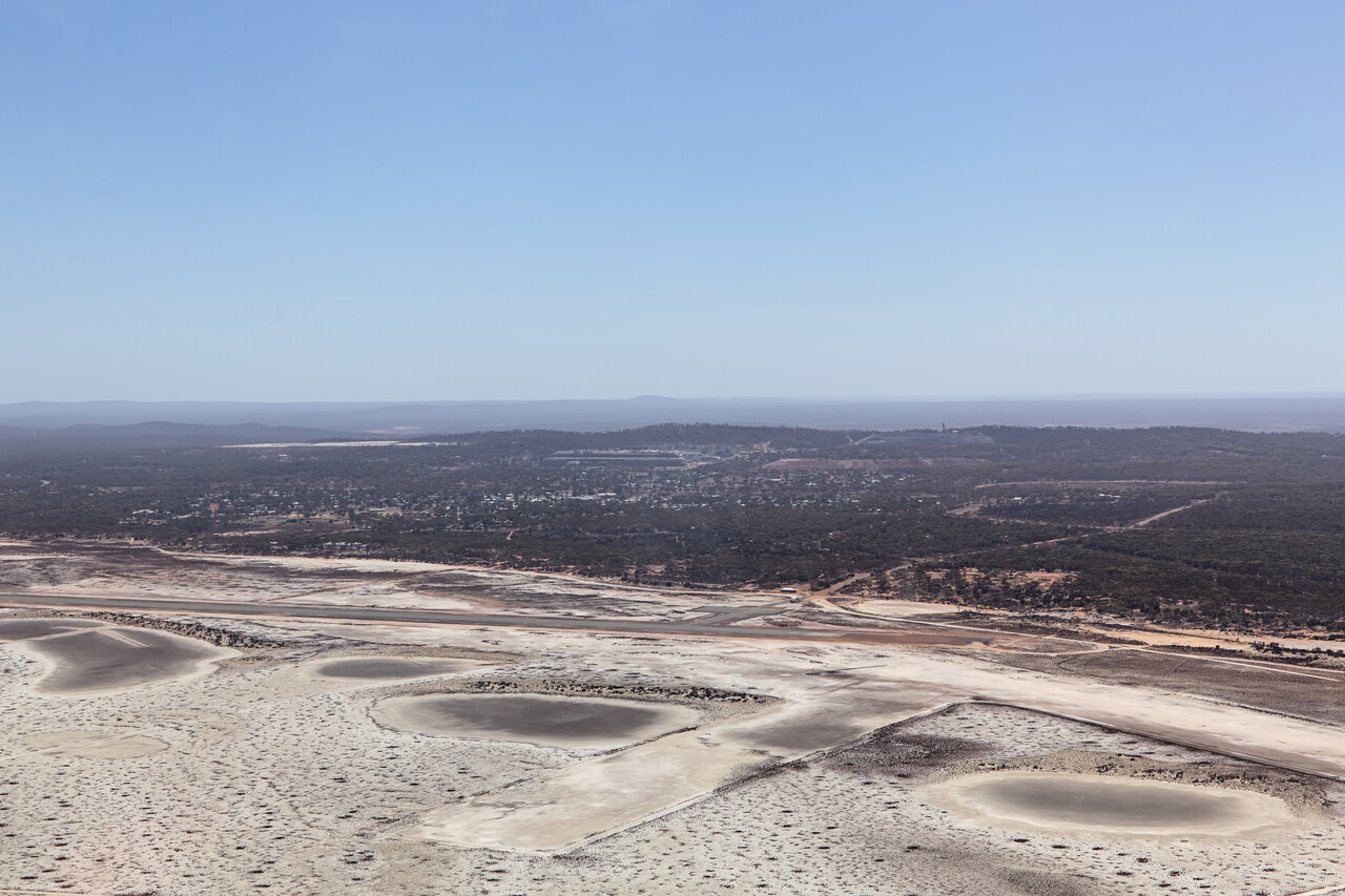
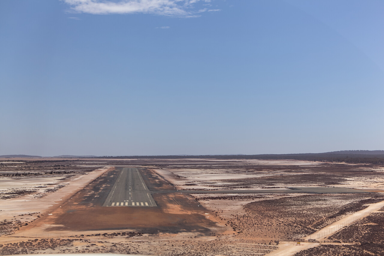
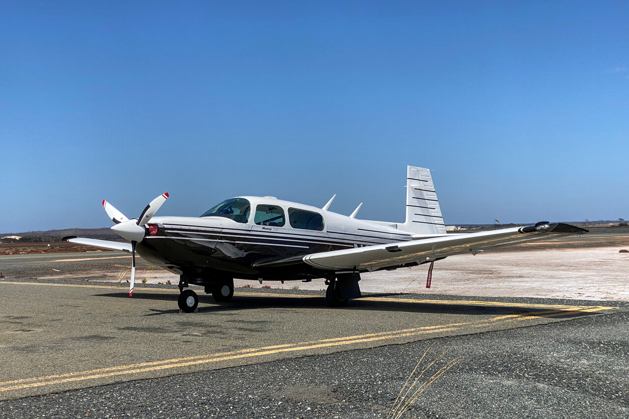
Australia’s oldest continuously operating gold mine is located in Norseman. Allegedly a prospector was riding through the area on a horse called Norseman a hundred and thirty years ago, when his mount suddenly foundered. He checked the hoof and what he believed was a stone turned out to be a nugget. A town was established and called Norseman, mining started and continued ever since.
However, as we also learned from the geologist in Forrest, mining industry has changed over the years and workers usually don’t live near the mines anymore. Companies fly them in and out for work from Perth or other cities. Norseman suffers from this development as it has only 560 inhabitants, back from over 4000 during its heyday.
There is an interesting walk past the gold mine up to a hill, from where an open pit as well as the entrance to the underground mine closer to town can be seen.
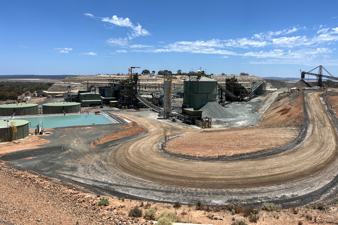
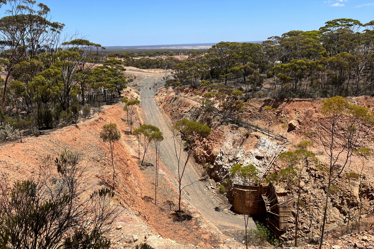
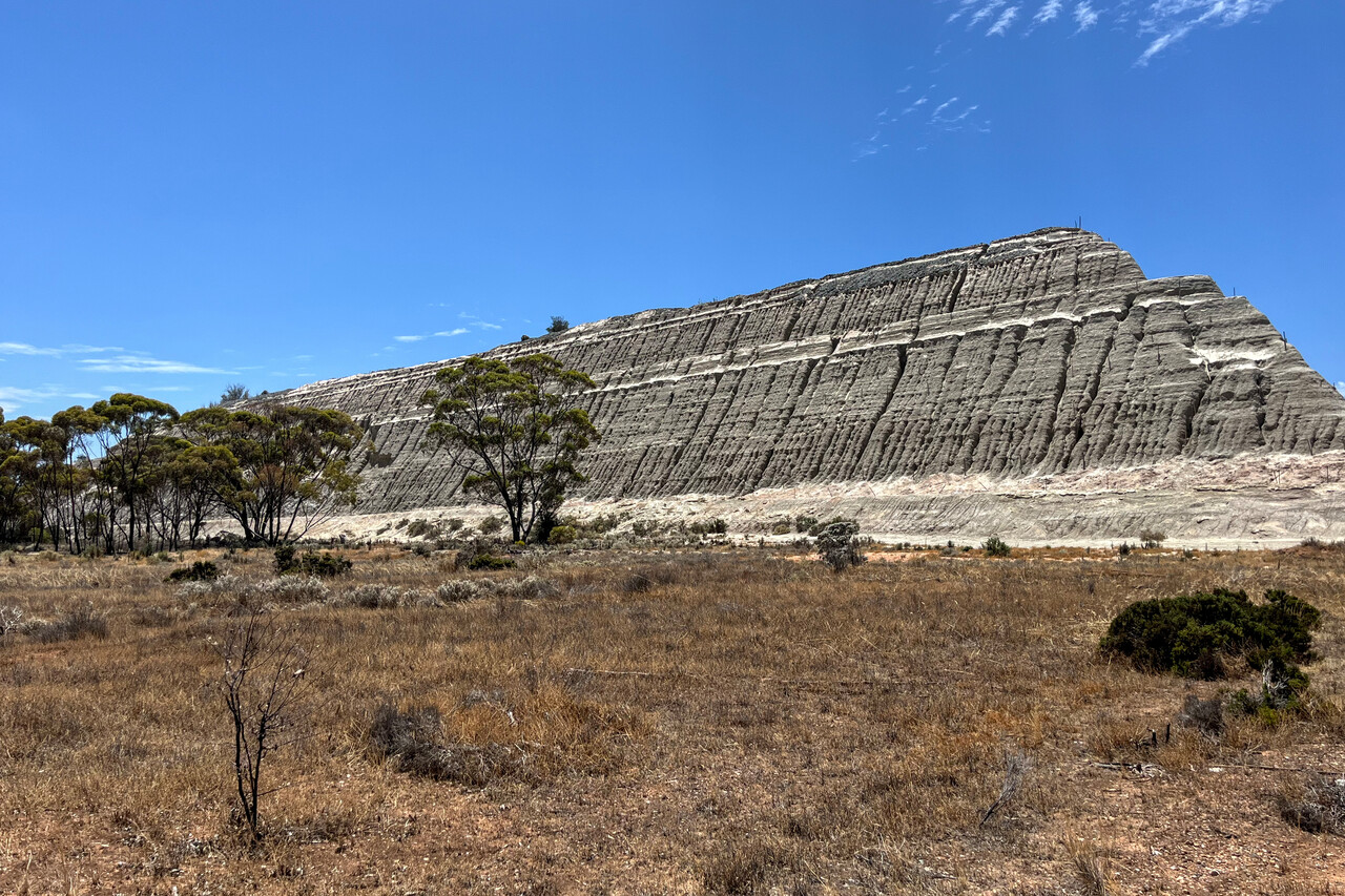
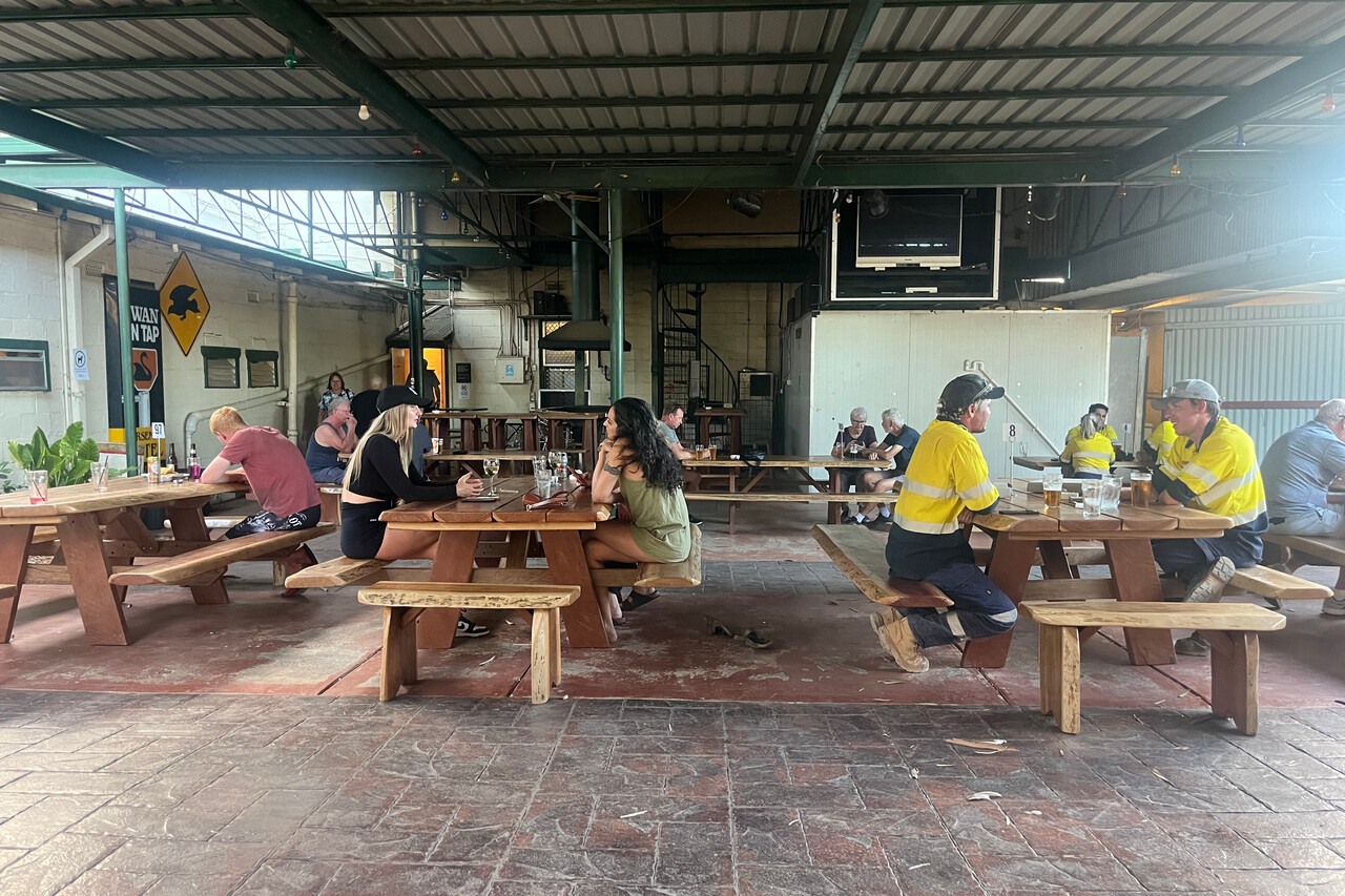
The bottom left corner
The very southwest of Western Australia is different from the rest of the state. It’s fertile and green and there are beautiful gum tree forests. The difference shows nicely on Google Earth.
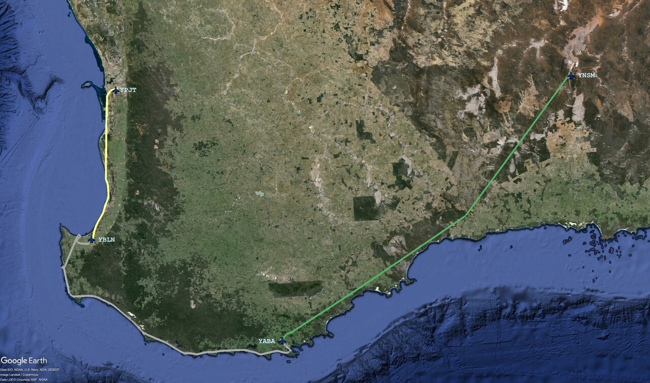
We had arranged a rental car for a couple of days at Albany Airport, YABA, where we flew to from Norseman. Weather for the flight was actually nice but we had a terrible headwind – the higher up the stronger. We decided to fly at 3500 feet in the hope it wouldn’t be too bumpy. It was OK but certainly not the nicest flight of the journey.
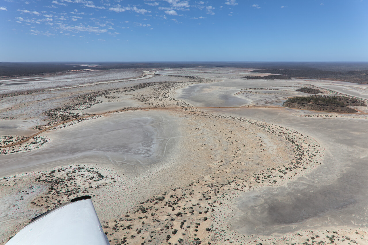
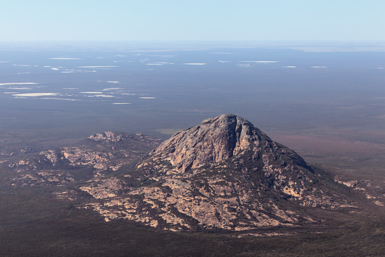
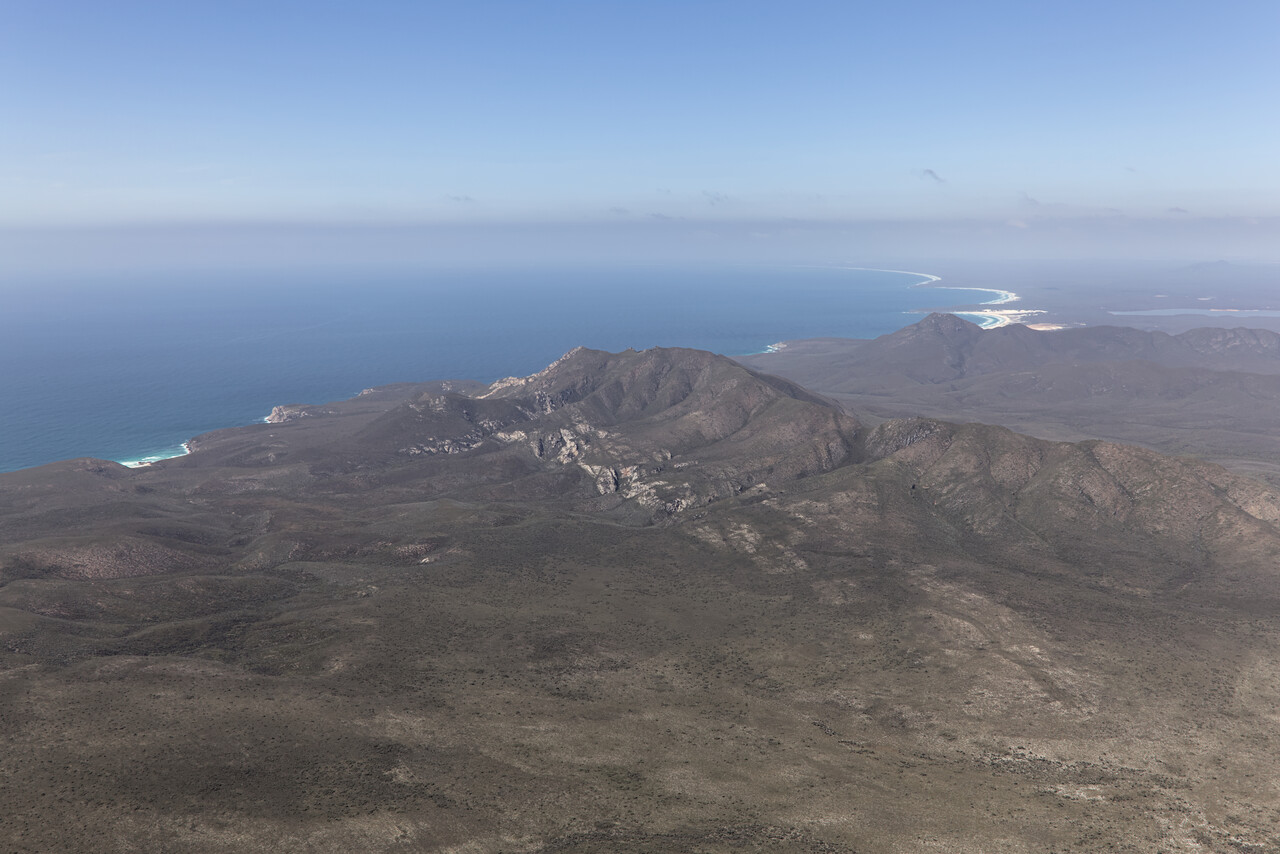
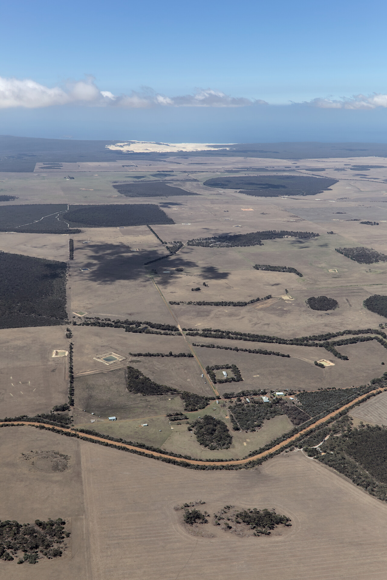
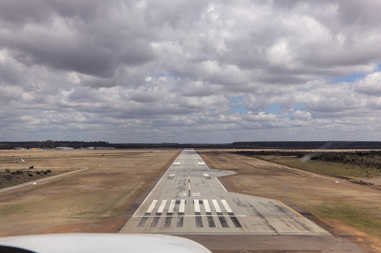
The town of Albany is not that special, but the surrounding landscape is spectacular. We drove along the coast via Denmark to Pemberton and back to Albany via Mount Barker in the next three days. We like hiking and the south coast offers plenty of beautiful opportunities for that. As much as the coast we enjoyed the gum tree forests. There are countless different kinds of gum trees and the areas where each kind grows are quite small. Therefore one can find several different kinds of gum trees per day even when traveling by car. The proximity of the Southern Ocean makes for a relatively cool climate in the summer, so hiking here is really pleasant.
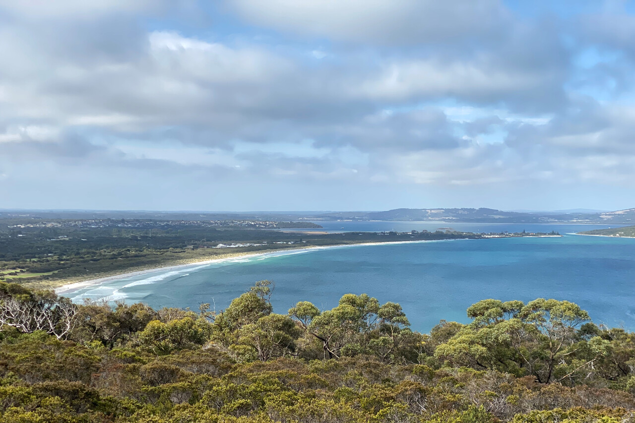
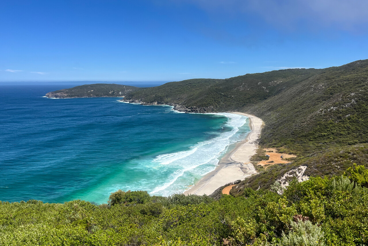
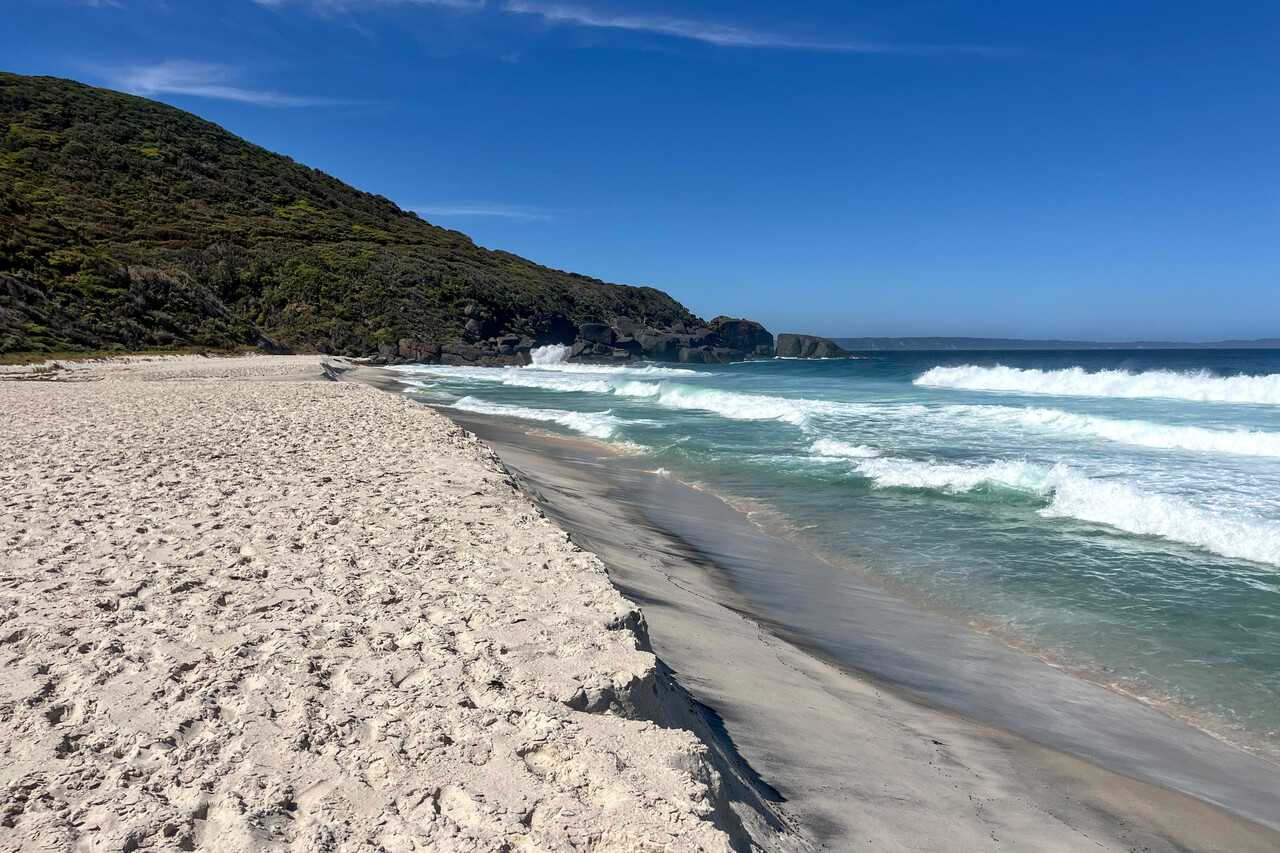
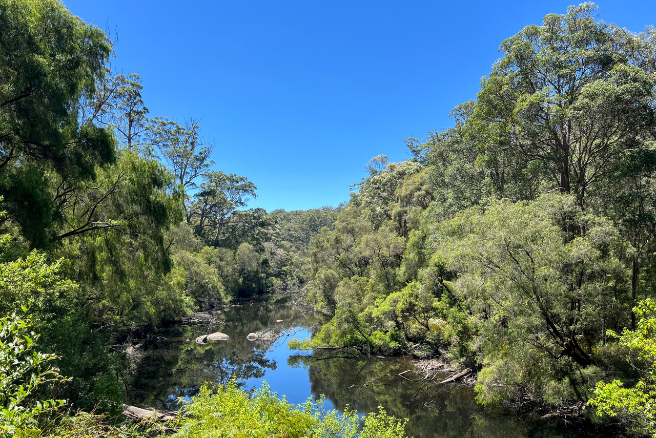
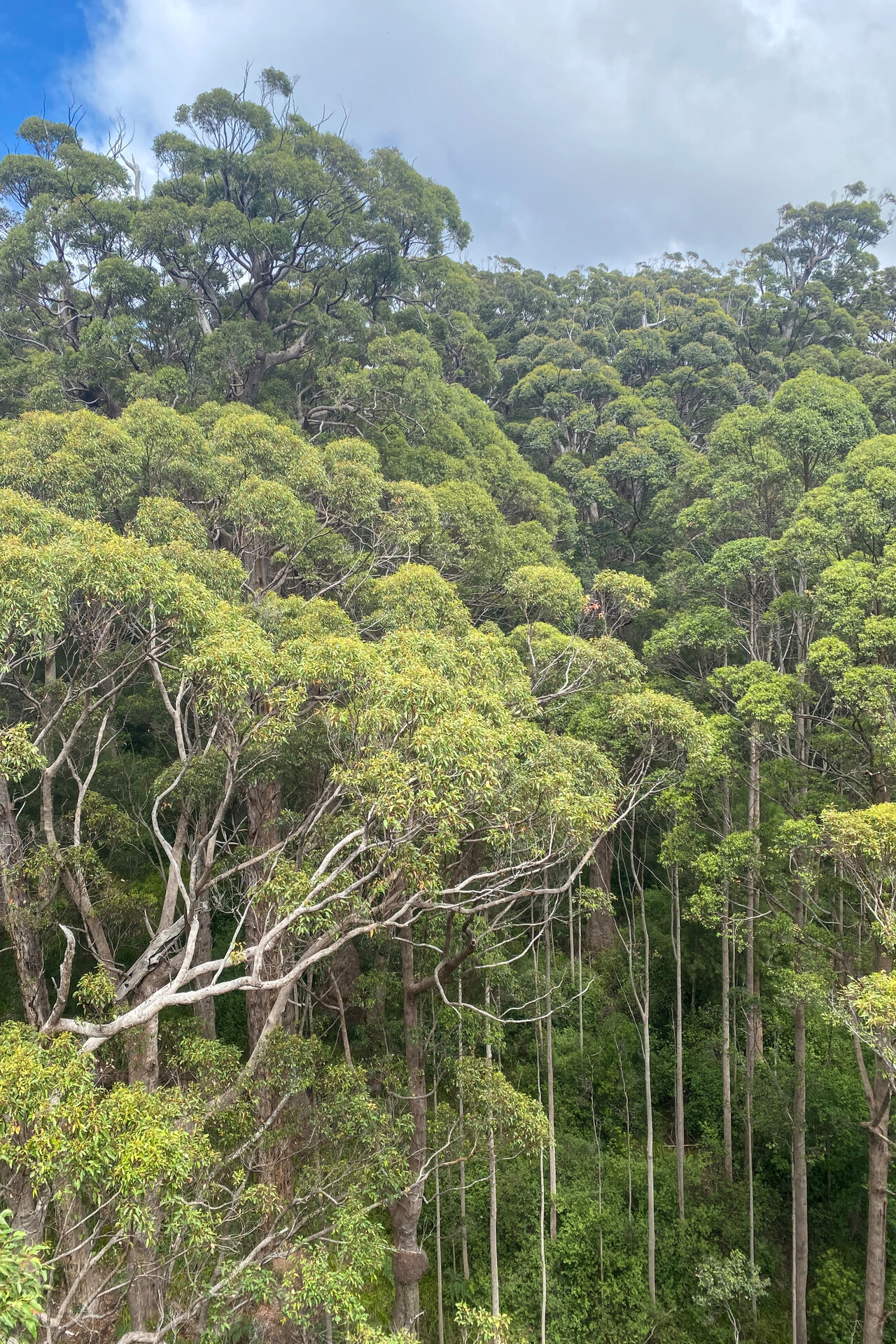
We continued to Busselton, YBLN, to visit the last Australian wine region on our journey: Margaret River. The wind was more benign this time and weather was great once again. We flew low level along the coast around Australia’s southwestern corner.
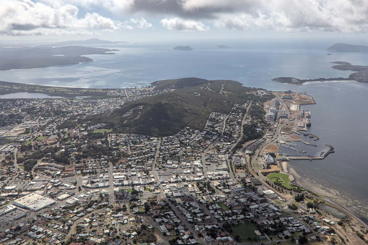
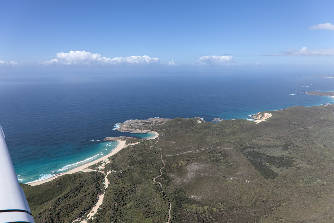
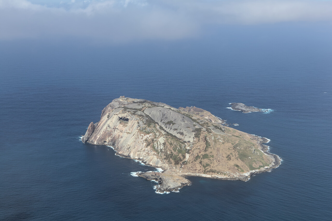
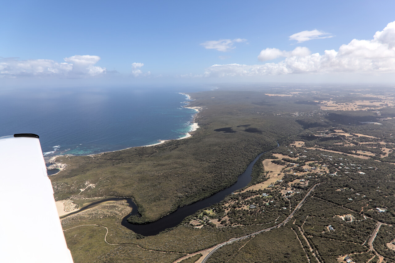
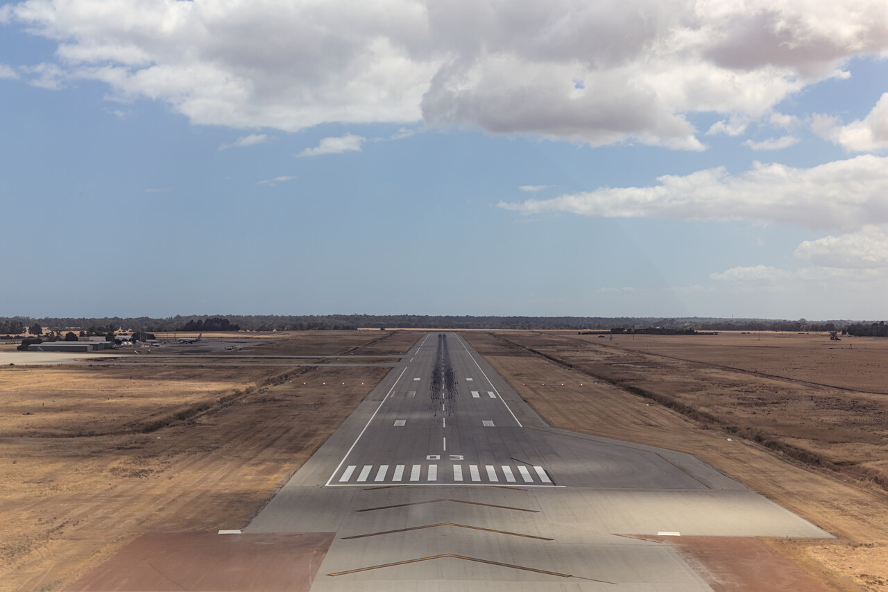
We had booked a rental car once again to explore the region for two days. Busselton and the town of Margaret River – where we stayed – were nice but didn’t impress us that much, to be honest. However, the scenery around was fantastic. We did one long hike to Contos Beach that we enjoyed very much.
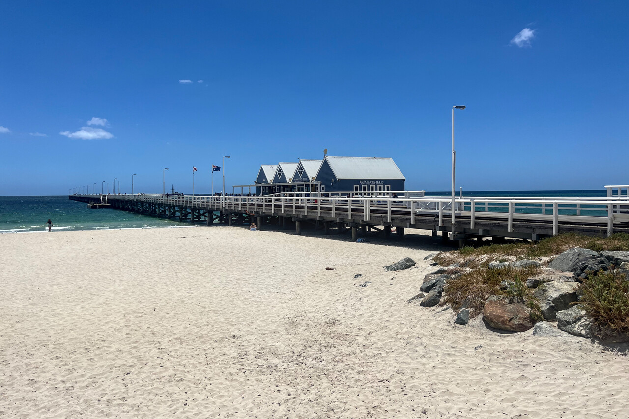
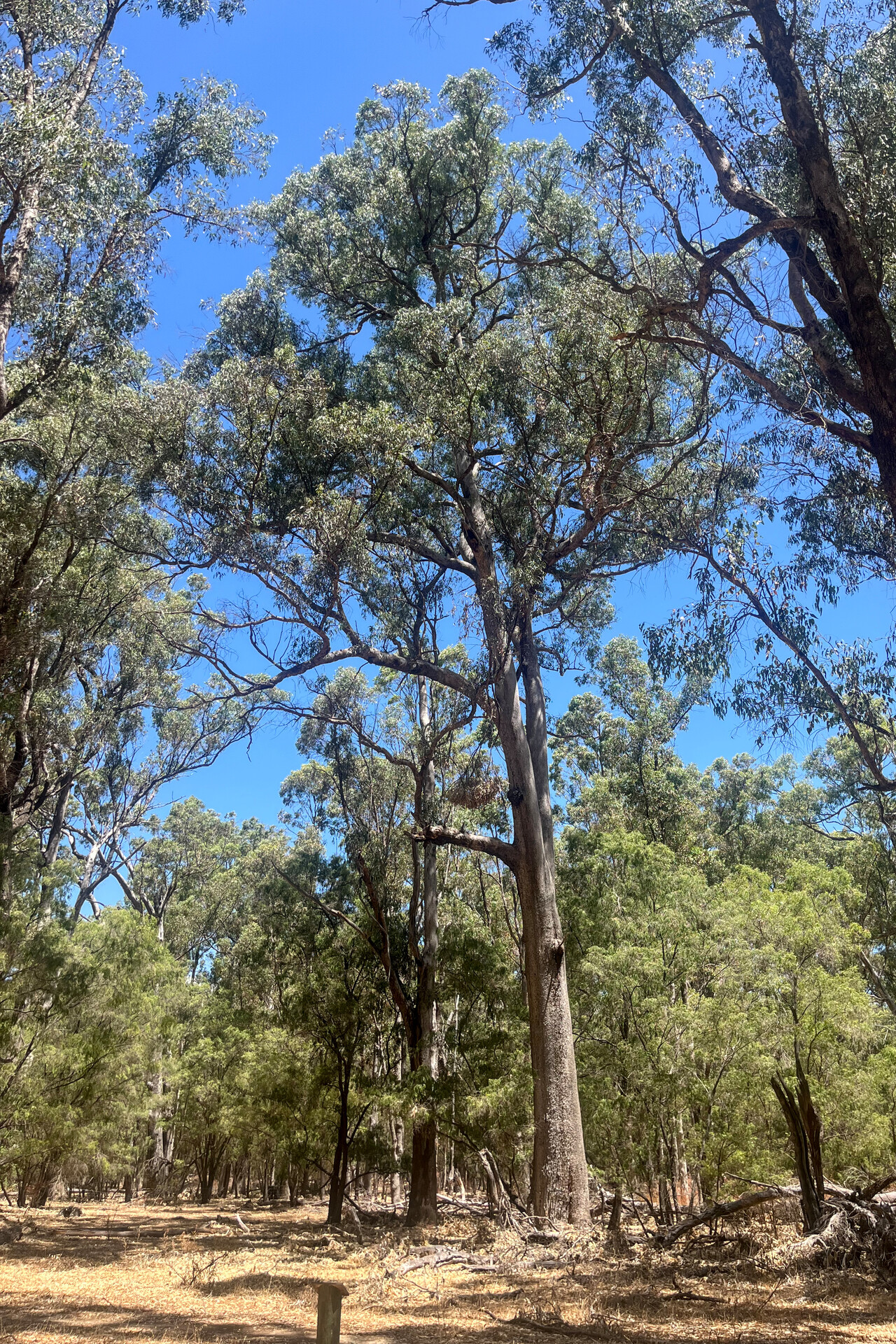
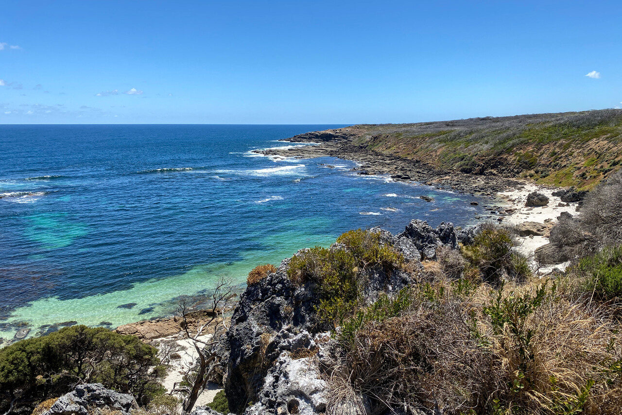
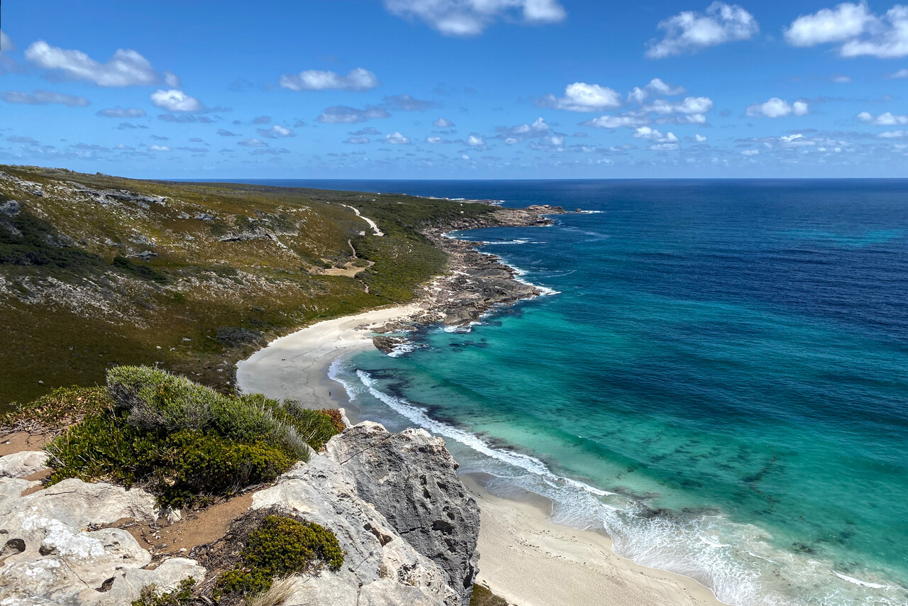
We had arranged for another oil change at Jandakot, YPJT, the GA airport of Perth. When we arrived, the owner of the shop was already waiting and marshaled us directly into his hangar. We changed the oil, checked the filter, looked over everything and I applied some Mouse Milk.
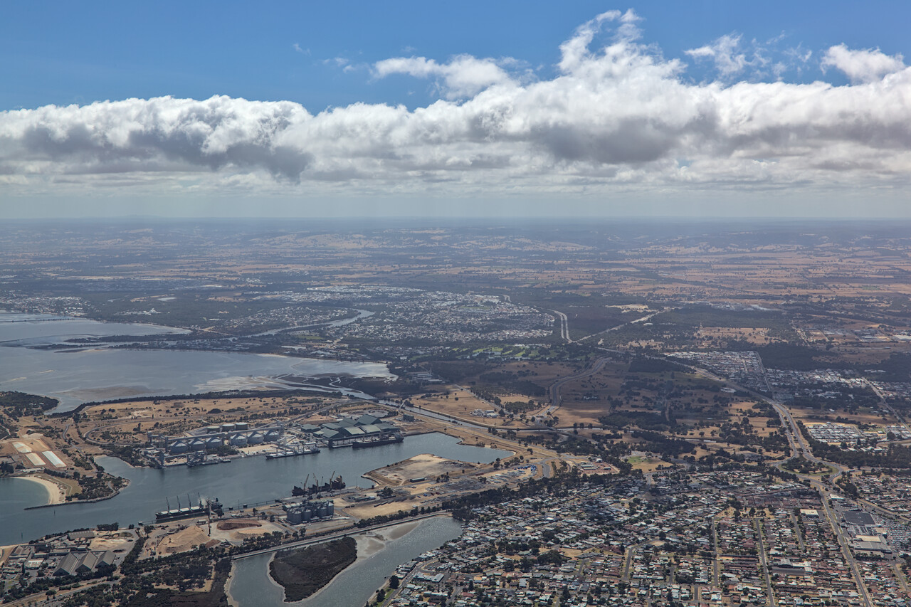
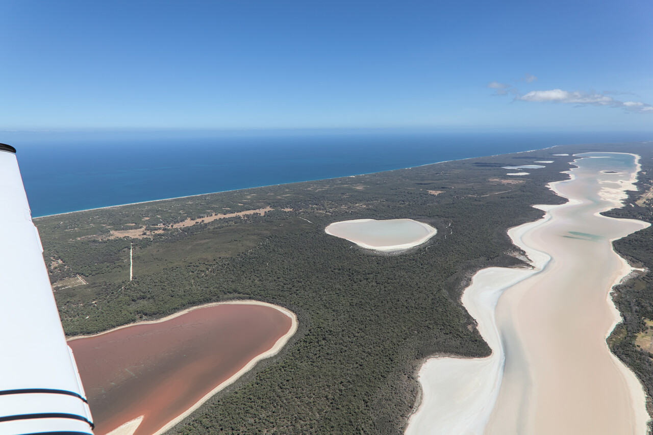
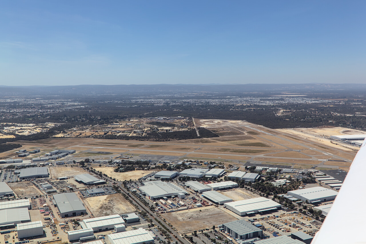
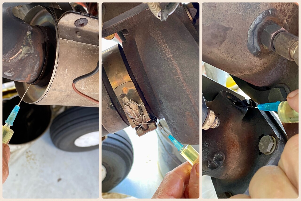
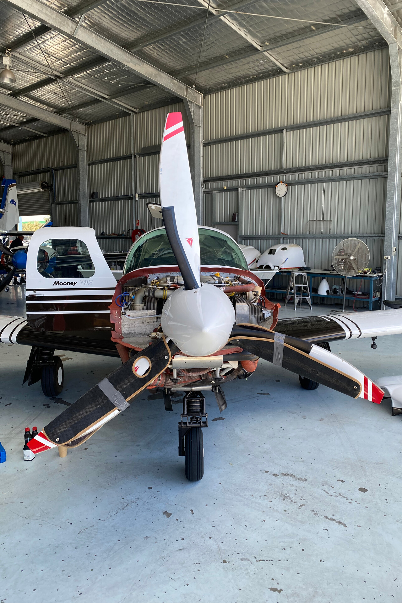
Perth was the last state capital for us to visit. It’s by far the most remote city of this size in the world. Even by Mooney it’s a long way from Adelaide, it must take forever by ground-bound means of transportation! Perth has a real skyline with impressive high-rises, as well as quite a few historic buildings. One oddity is a modern bell tower built for a set of historic bells brought from England. The city’s location on the Swan River is really nice and at least during the summer it enjoys a sunny climate without getting too hot – it’s always windy, though. We found a nice pub with cold beer, friendly staff and good pub grub where we spent a fun evening.
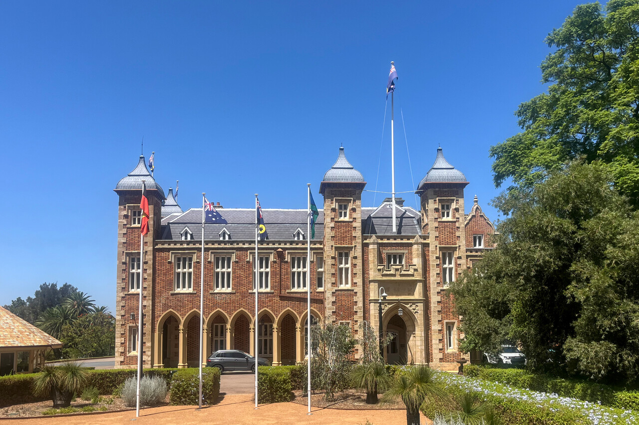
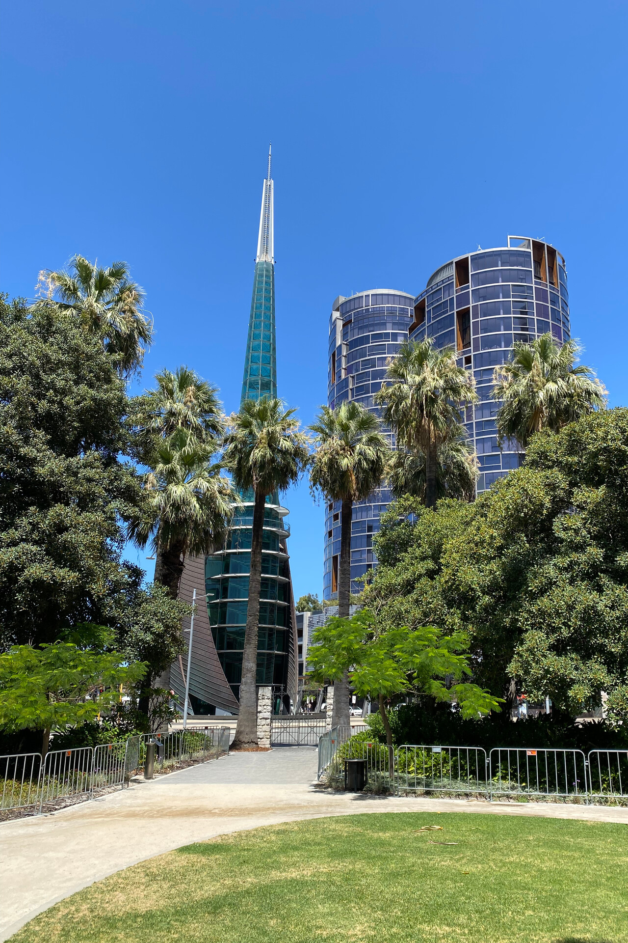
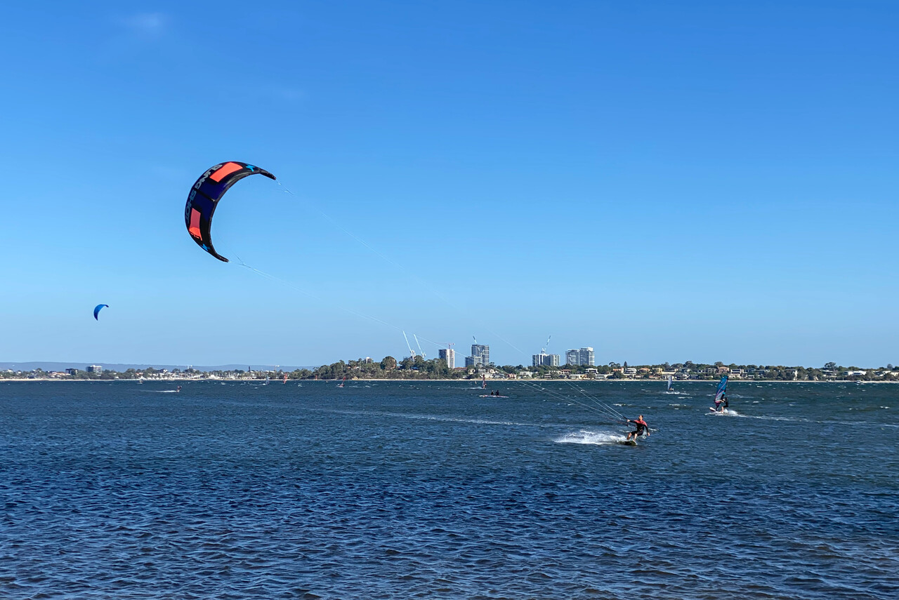
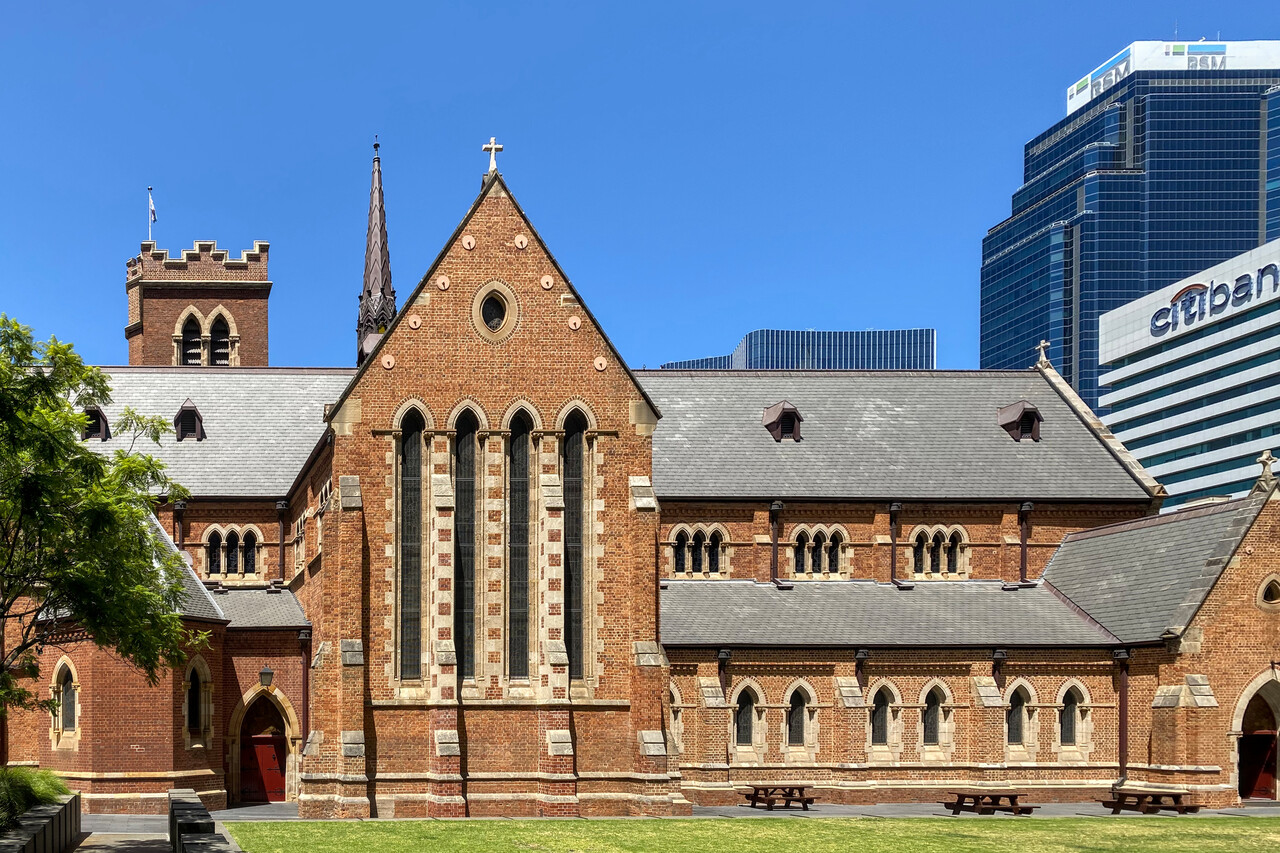
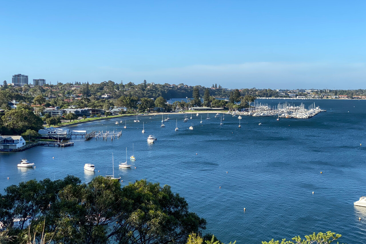
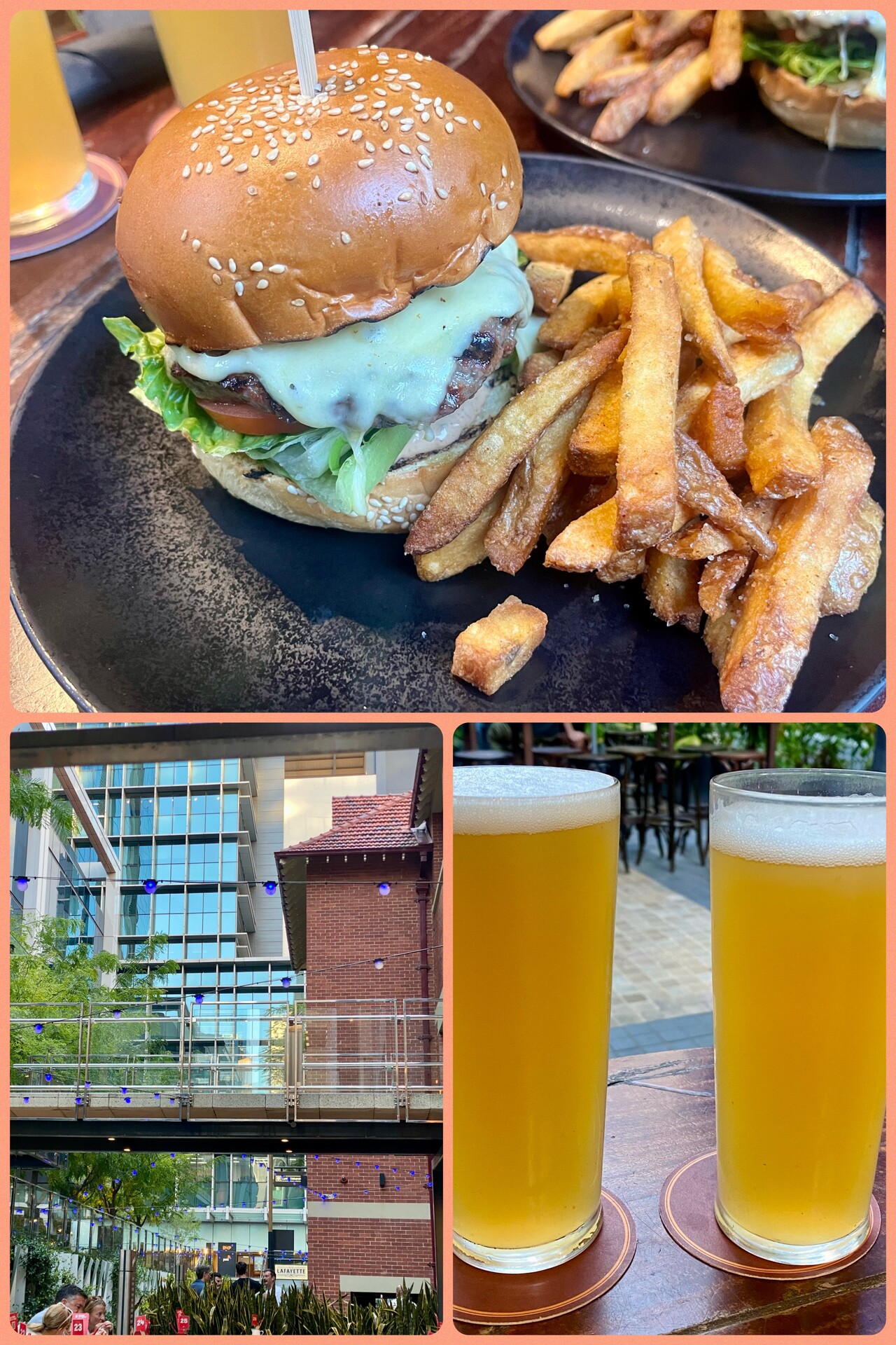
Up the West Coast
Unfortunately January is not the best time to visit the northern part of Western Australia, on the contrary. We would have loved to see the inland but it’s unbearably hot there that time of the year, there are frequent thunderstorms and bush fires. Therefore we decided to stay near the coast. Attractions on the way are few and far between, therefore the legs to Broome were rather long.
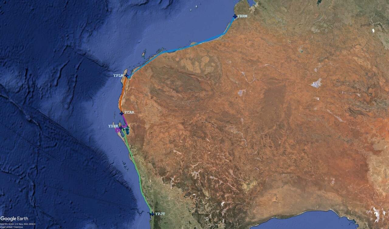
We left Perth on a sunny but windy morning for Shark Bay, YSHB. Despite the wind it wasn’t too bumpy, so we stayed down low once again. Vegetation gets scarce quickly north of Perth and the outback desert starts to reach the sea.
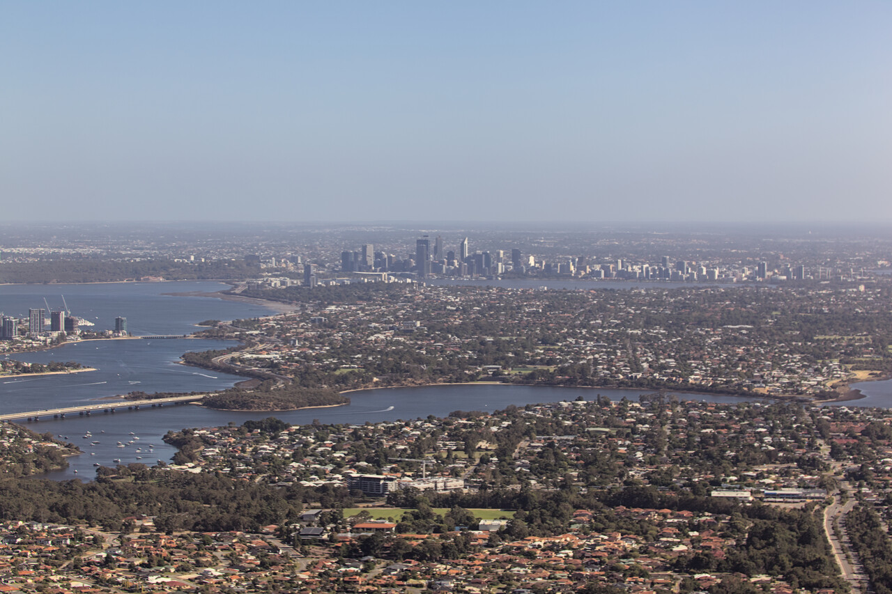
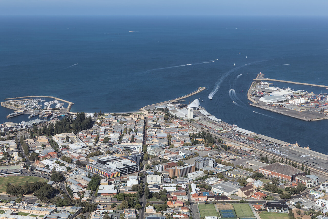
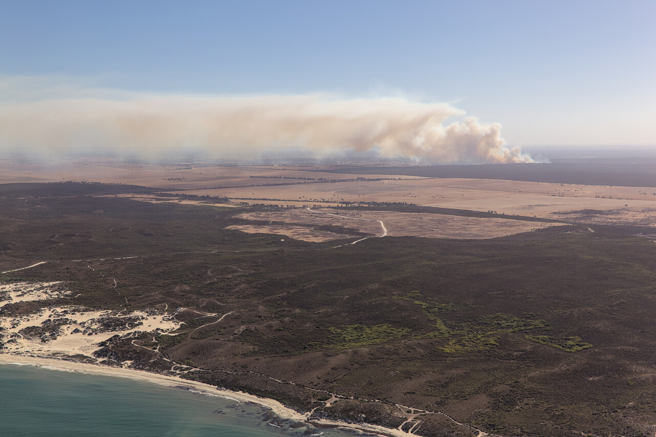
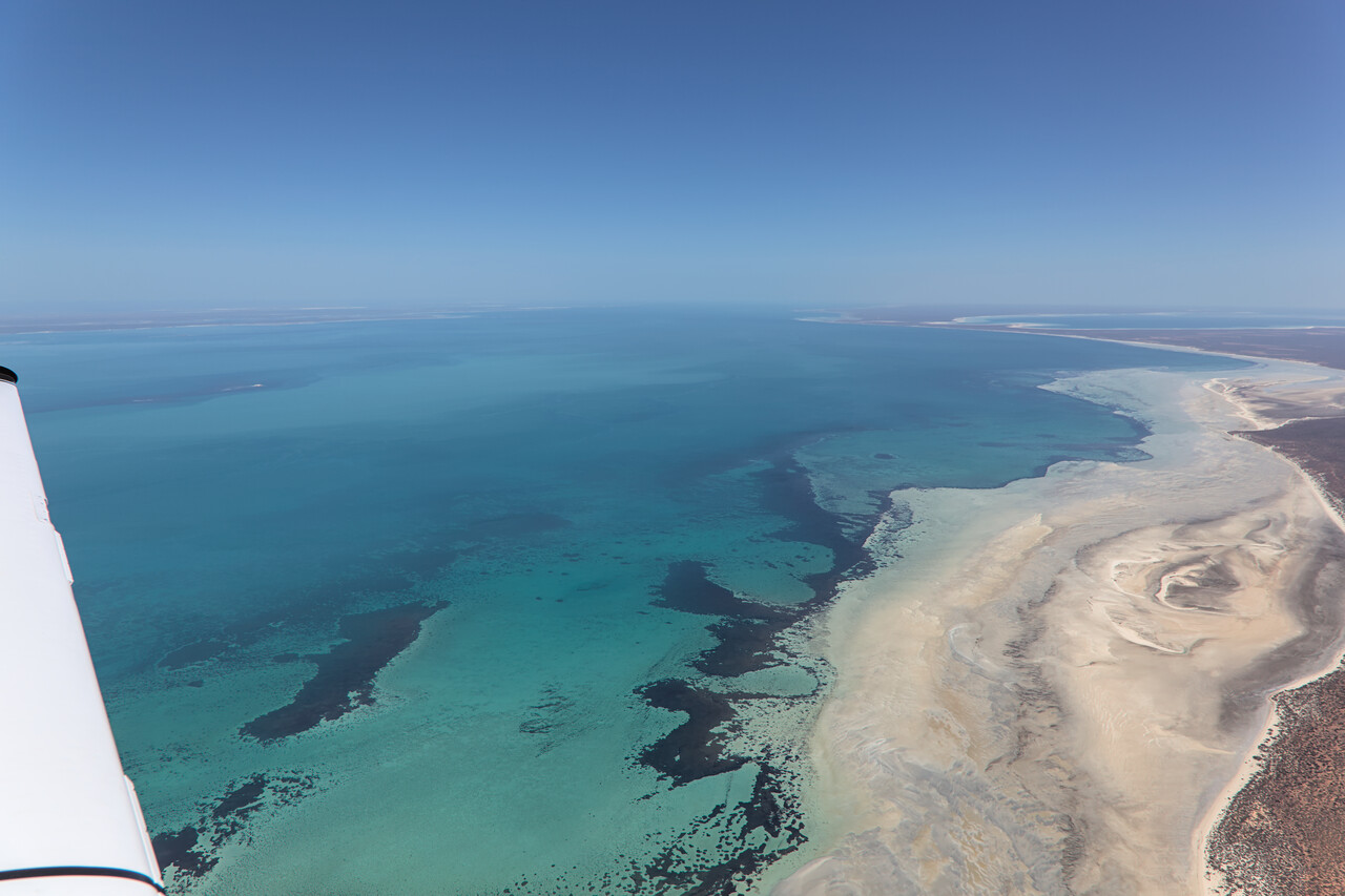
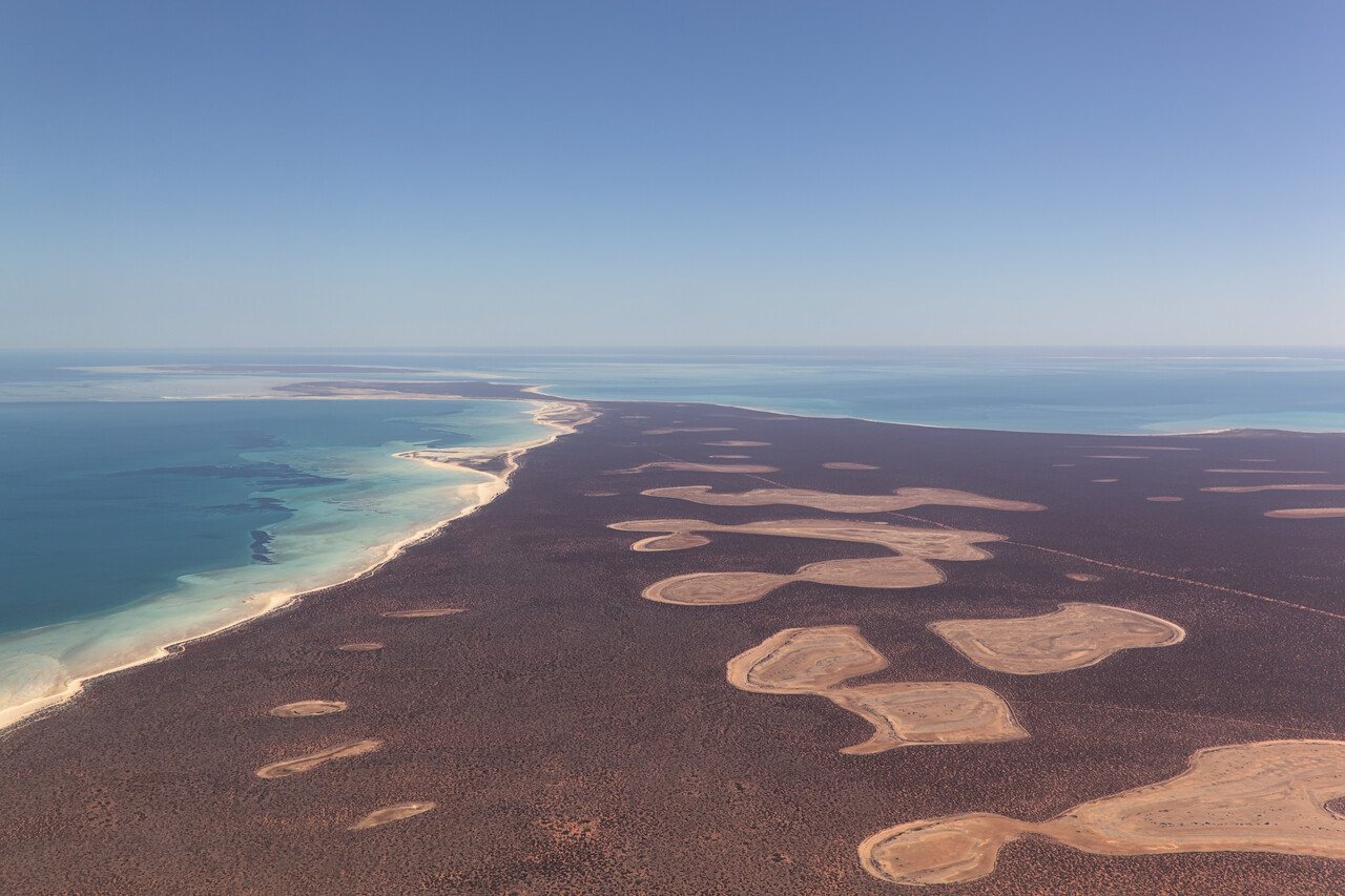
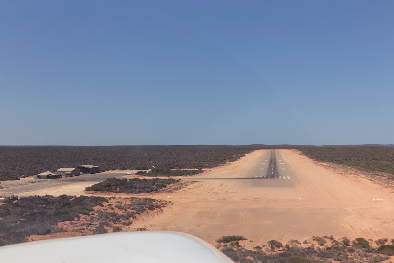
Shark Bay is a world heritage area at the very western end of the Australian continent. The bay is shallow and it’s the largest area of seagrass on the planet. This supports an abundance of marine life – not only sharks but also sea cows, turtles and dolphins can be seen. Peron Peninsula protrudes into the bay and this is where the action is. YSHB is located in the center while the town of Denham is to the West and the resort of Monkey Mia is to the East of the peninsula. We stayed in town and visited the resort just for a day. It’s famous for dolphins showing up each morning. On shore there are allegedly some very nice hikes and many kangaroos and emus might be spotted, but it was simply too hot to do any serious hiking. A few short walks had to do.
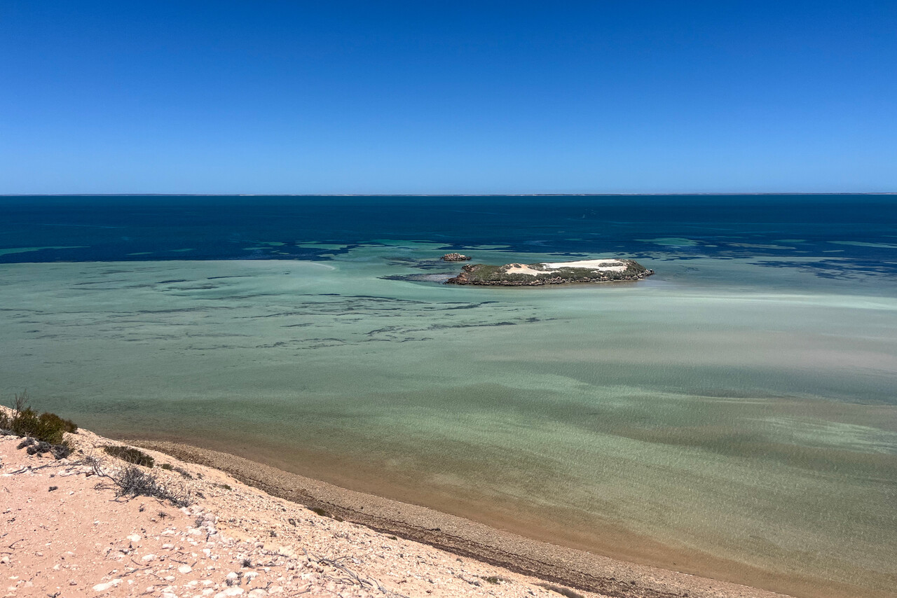
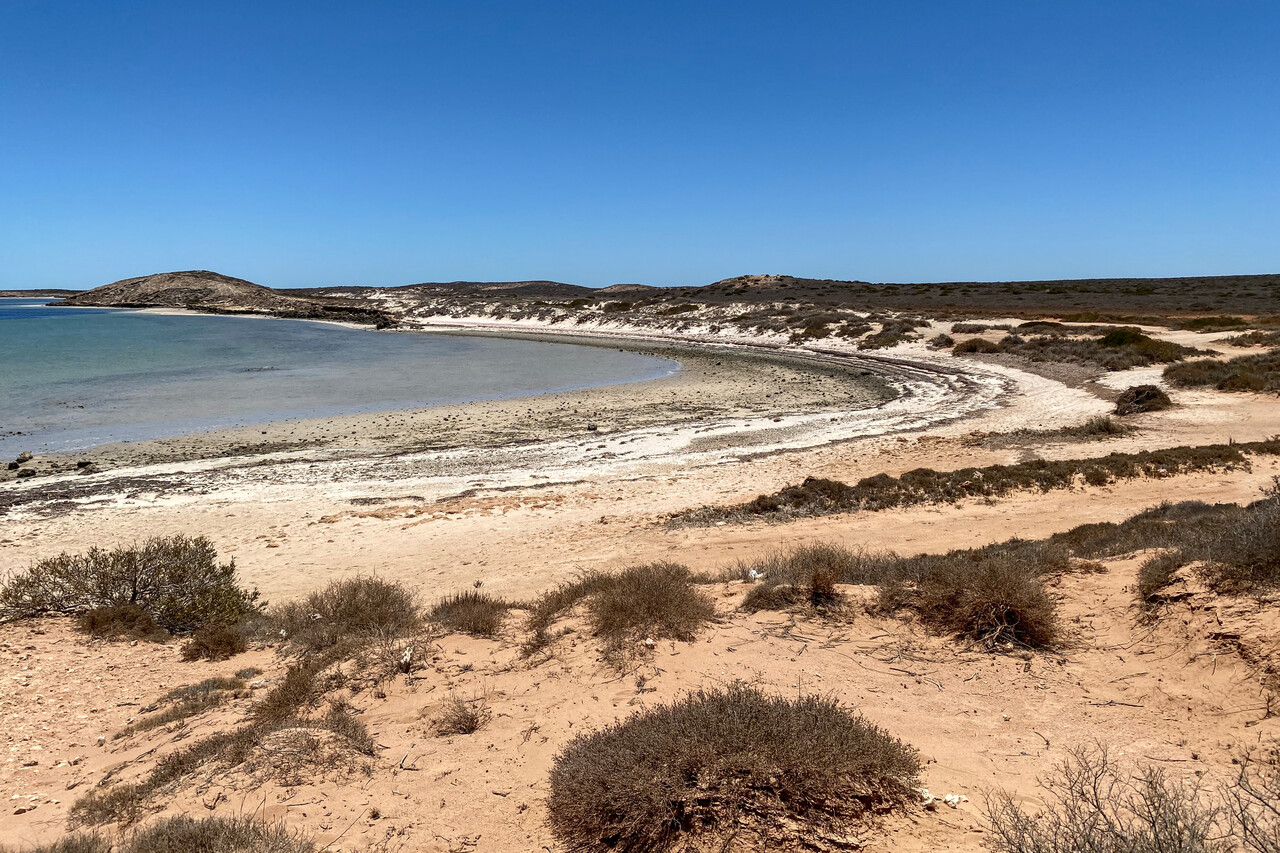
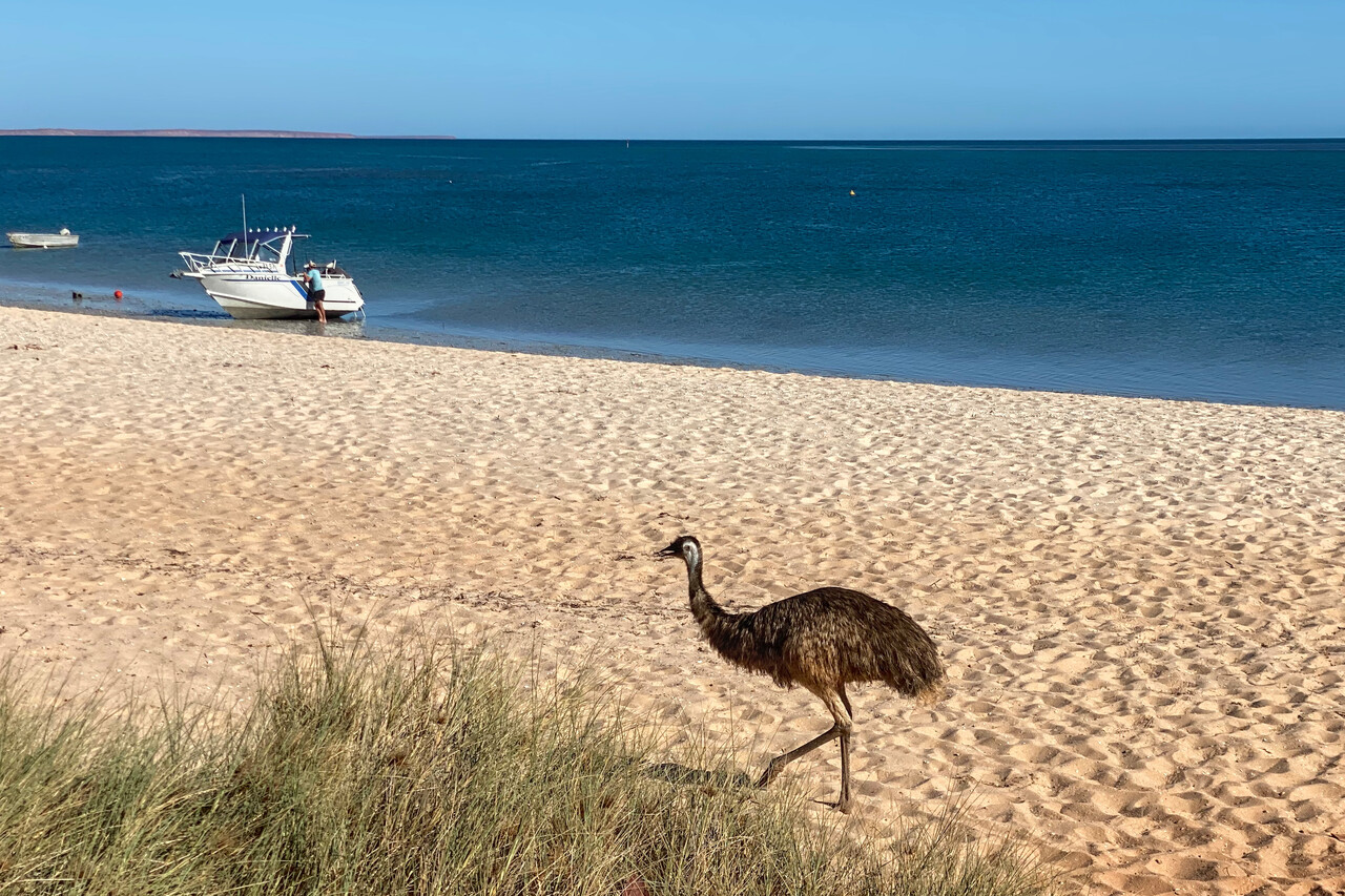
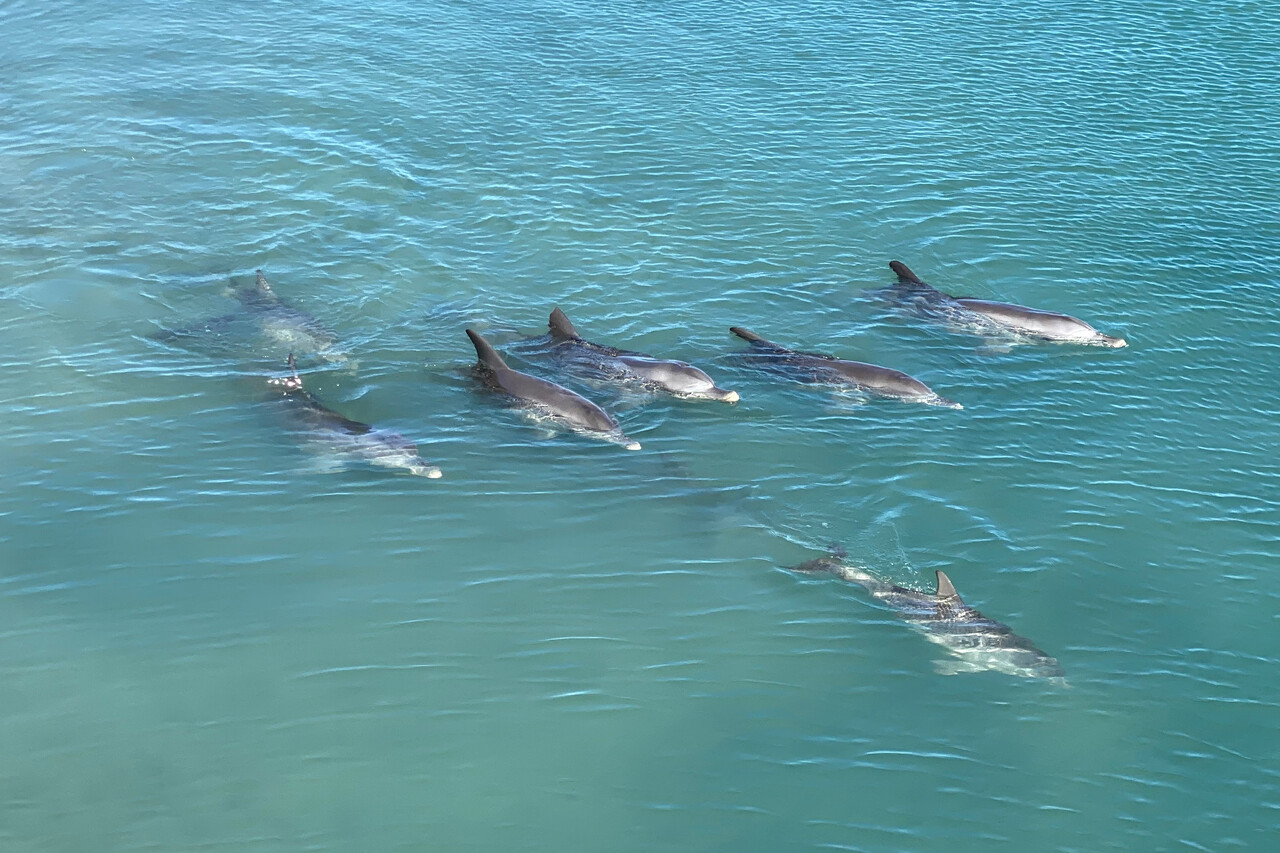
There is no fuel at YSHB, so we had to fly over to Carnarvon, YCAR, not far to the northeast. However, we had skipped the scenic flight around the bay when we arrived, so we did it on departure. We were told that the bay is spectacular from the air but unfortunately it was very hazy that day. One interesting feature is the solar salt operation in the western part of the bay. The area goes by the funny name Useless Loop.
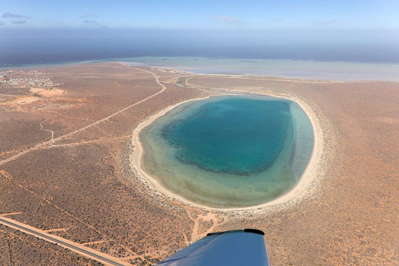
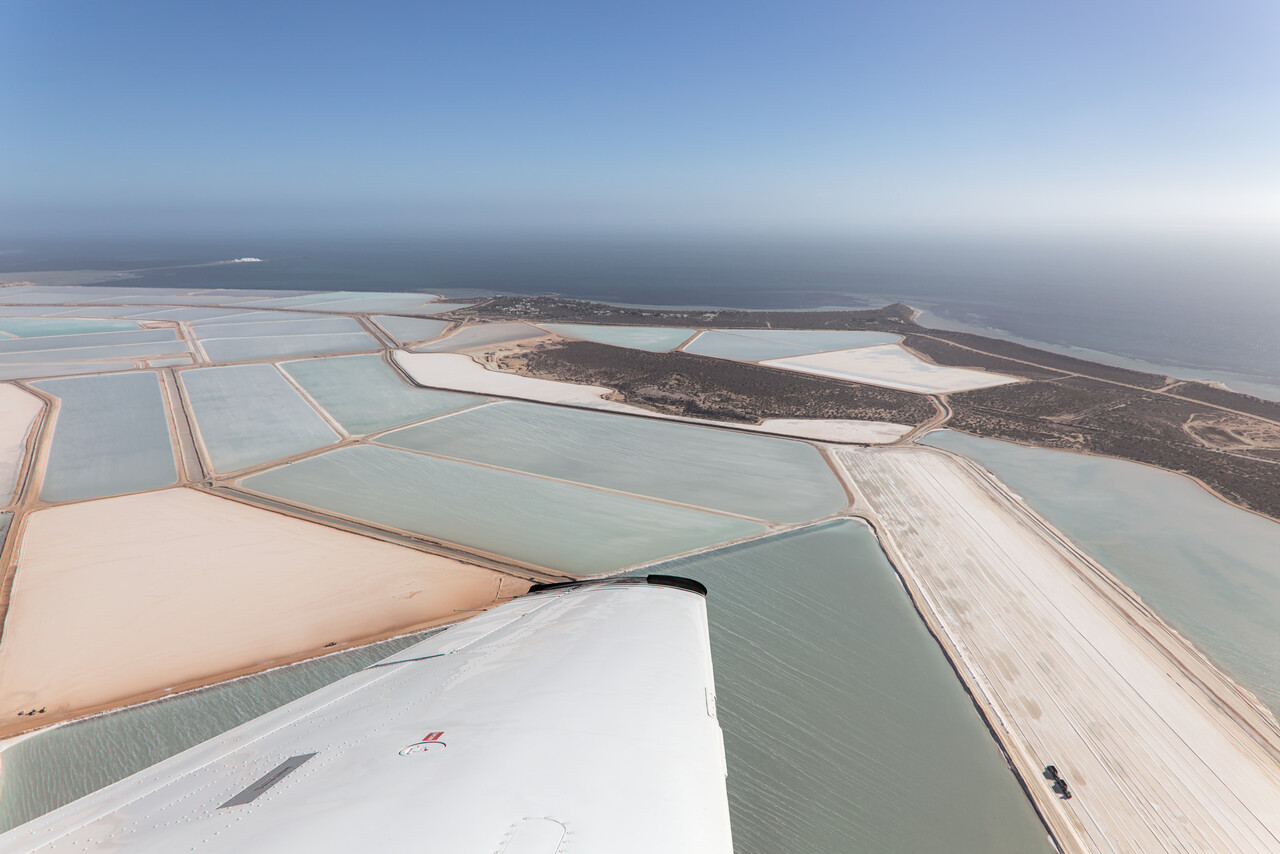
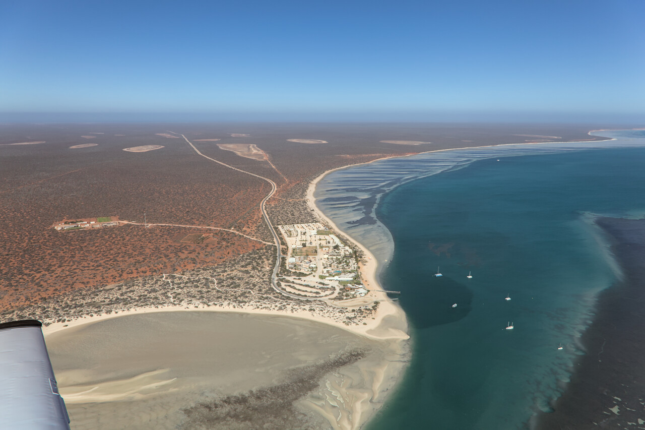
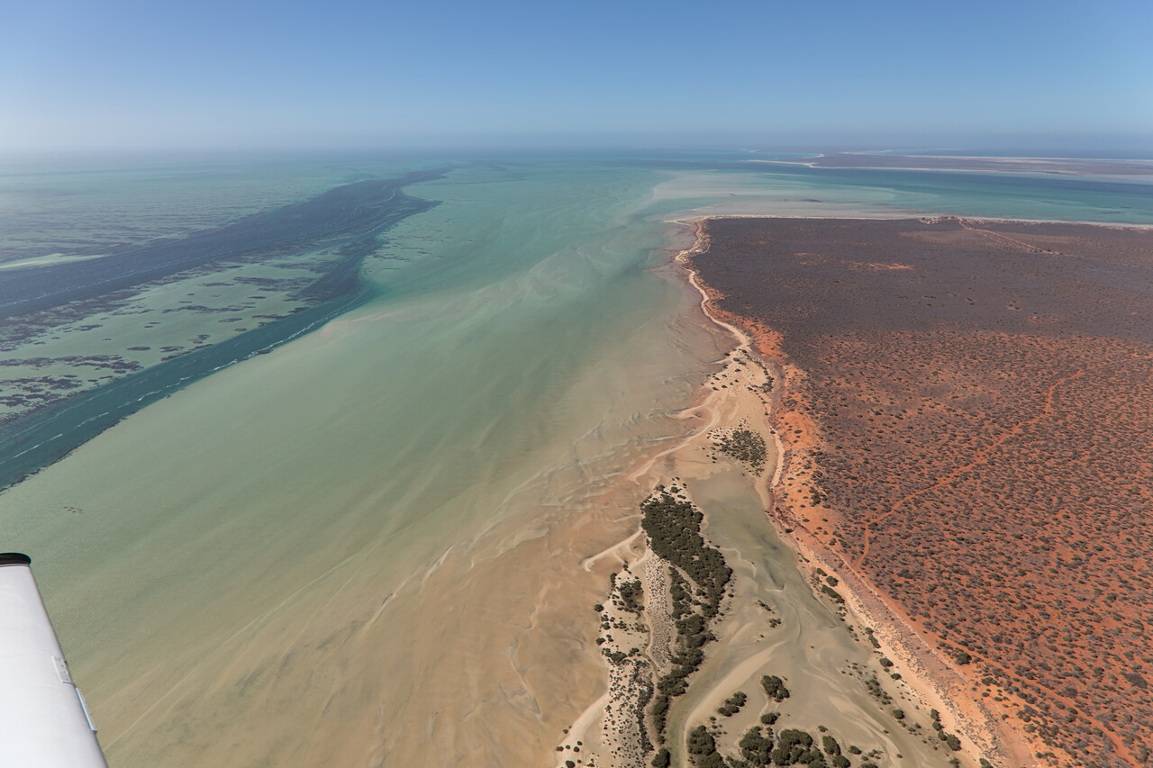
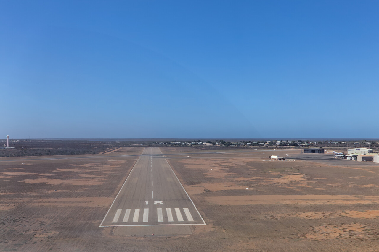
Carnarvon is the only settlement of any size on the central west coast and it’s an easy walk from the airport to town so we decided to spend a night there. However, besides the old jetty interesting sites are scarce, so I had some time to work on this text before dinner 😉.
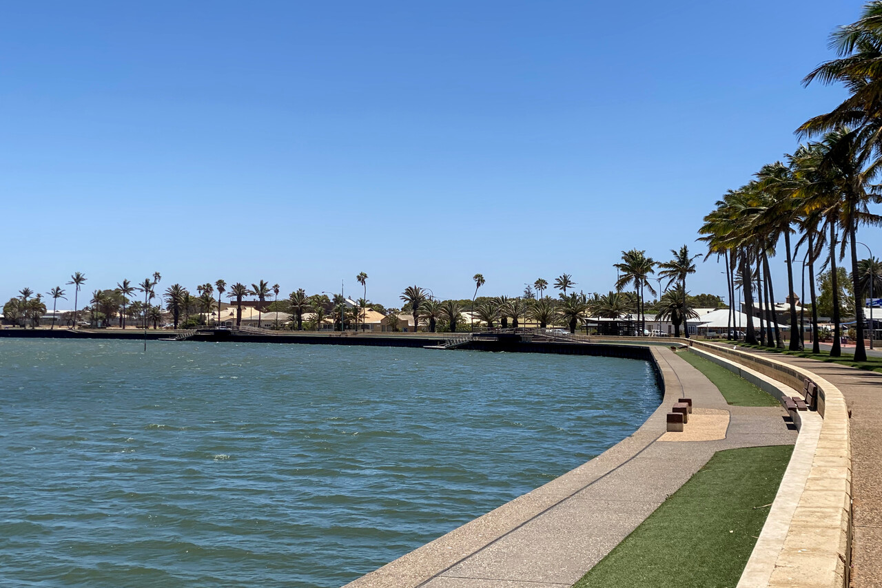
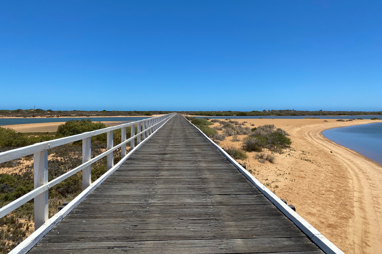
The only place with some tourism infrastructure on the coast between Shark Bay and Broome is Exmouth, so that was our next destination. There is a small field close to town, but there are no rental cars available and there are no taxis either, therefore we flew to Learmonth, YPLM, about 30 kilometers to the south. It was still a bit hazy, but not as bad as the day before. It was another nice low level flight along the coast.
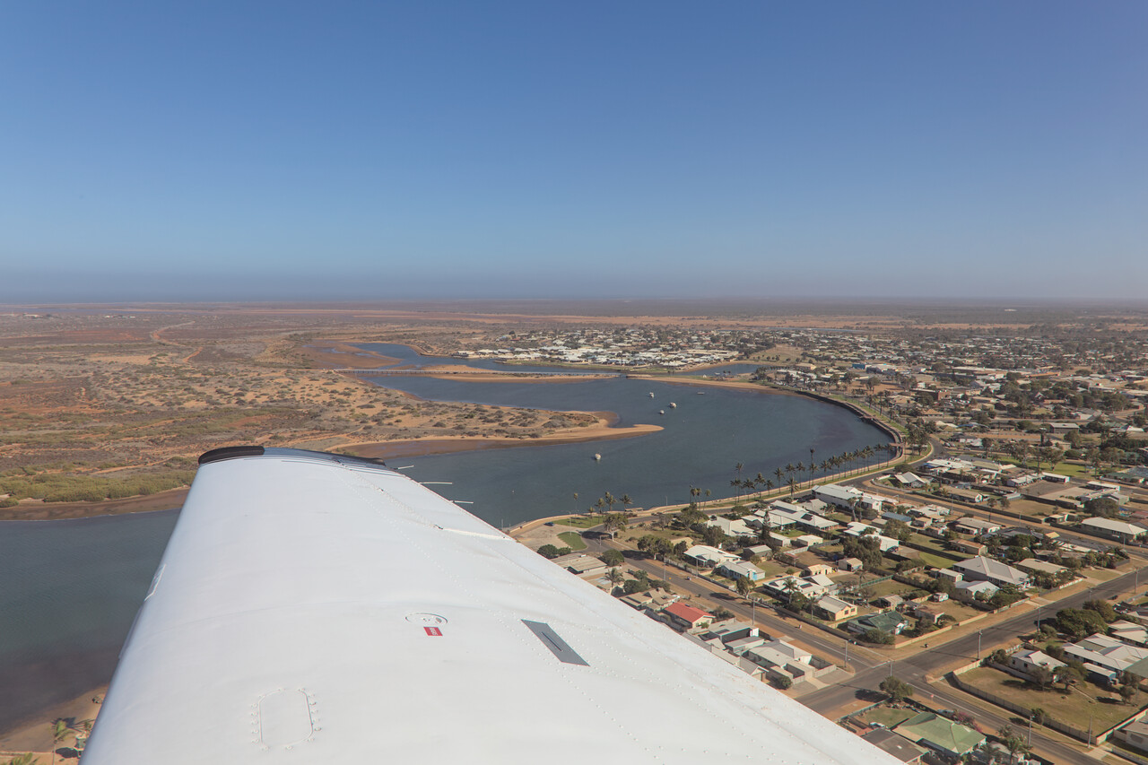
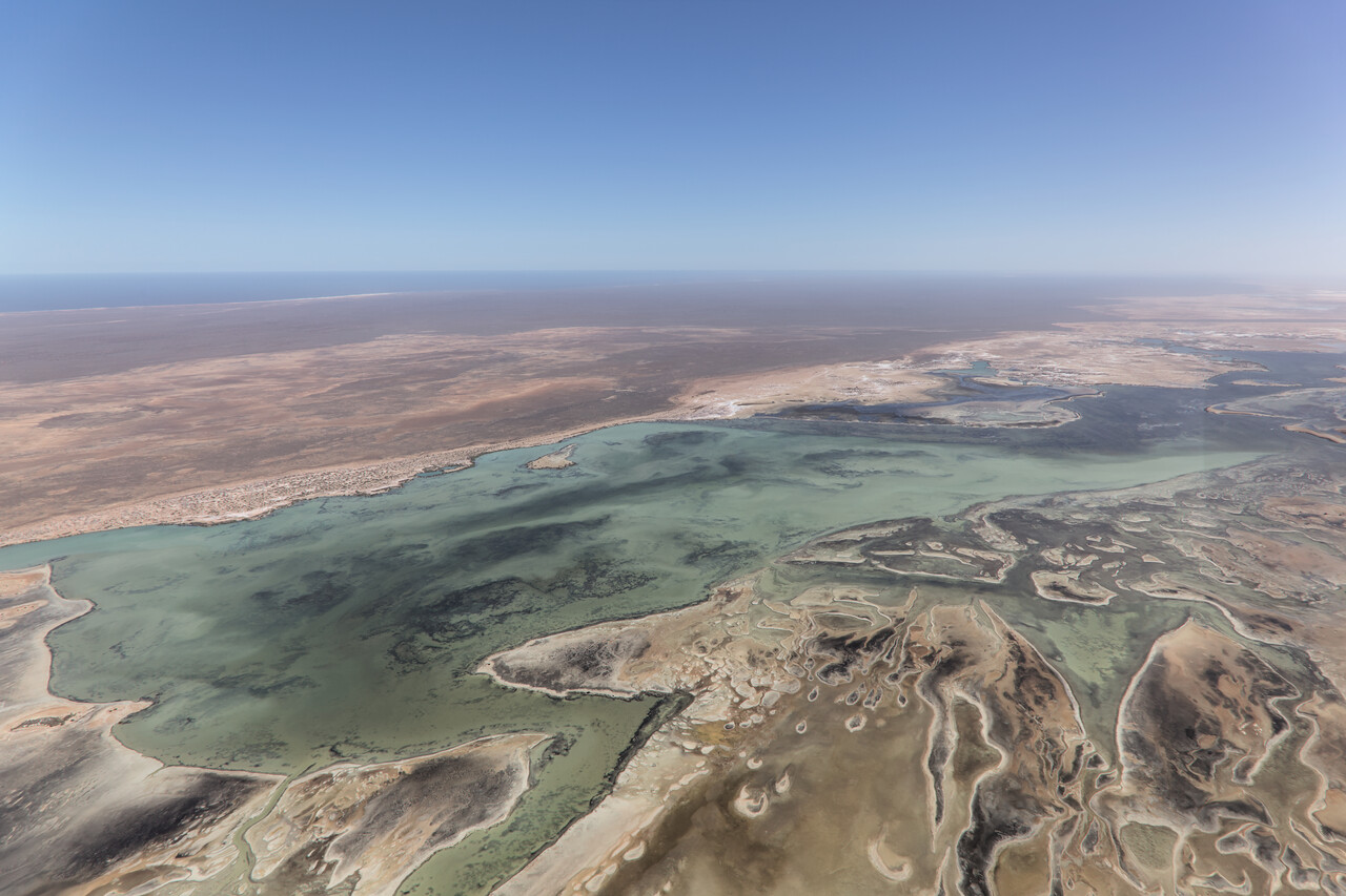
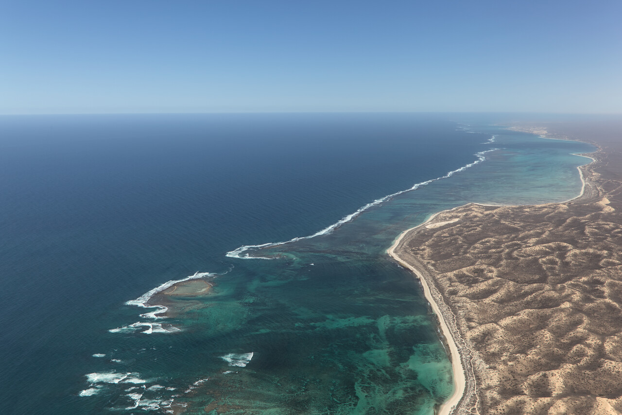
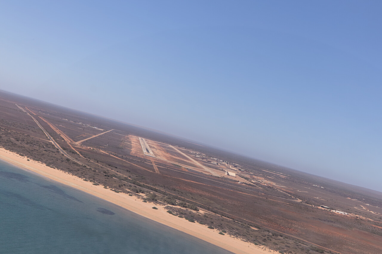
The town of Exmouth was only established in 1967 to support the nearby US navy base. Today it’s famous for visiting whale sharks, but they don’t visit in January. Again there are nice hikes in the area, but it was too hot again and – being closer to the tropics – quite humid. For the technically minded the Harold E. Holt Naval Communication Station is quite interesting. It’s a huge VLF transmission facility that can send messages to submerged US submarines in the Indian Ocean.
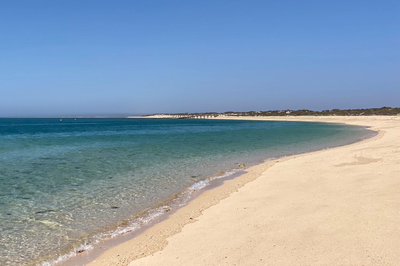
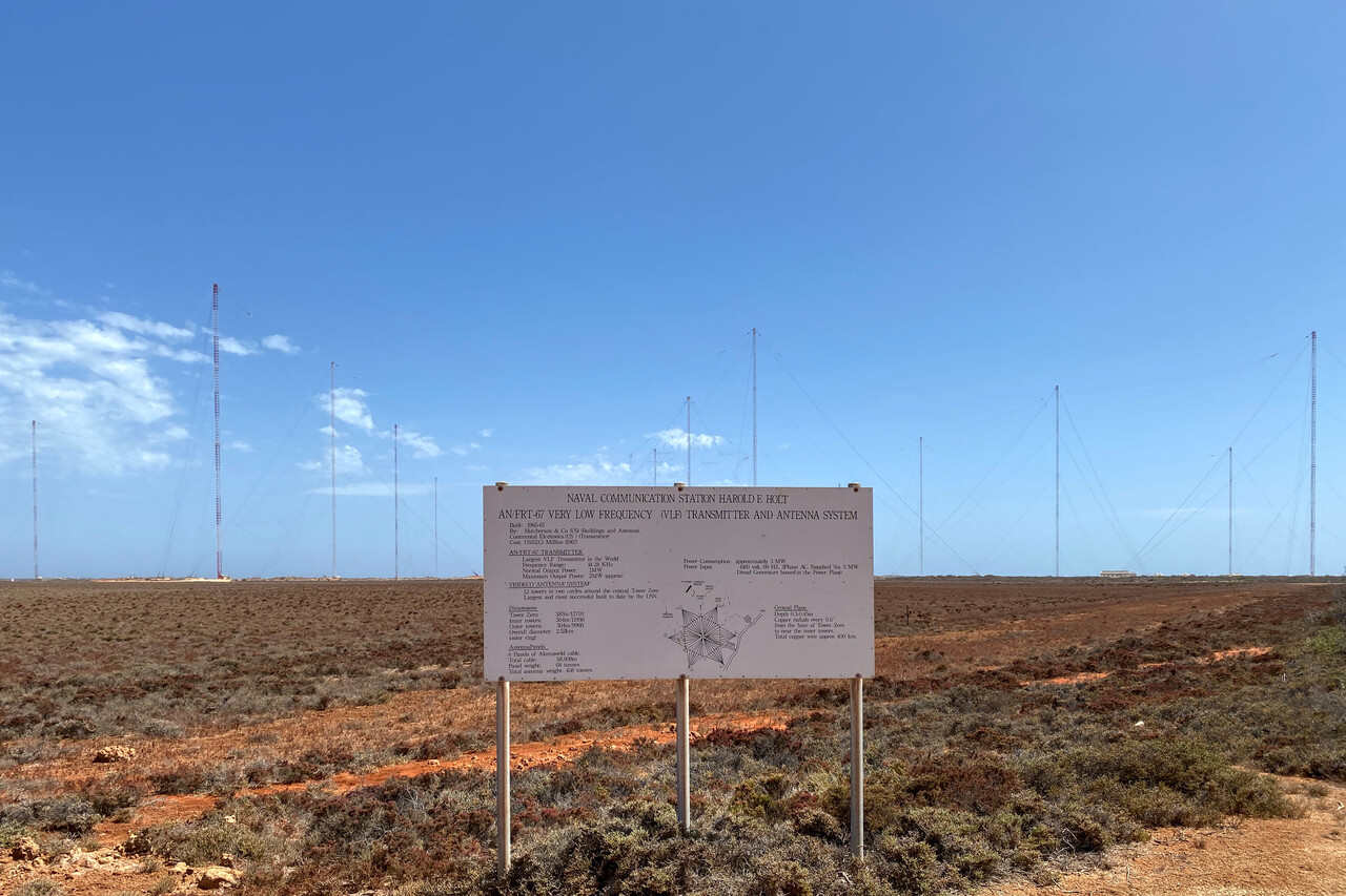
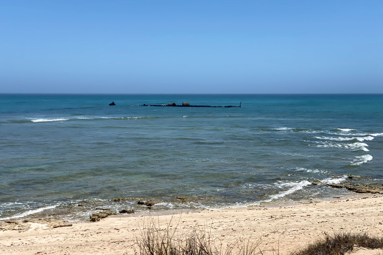
Our last domestic leg in Australia took us to Broome, YBRM. It was a rather long flight and we decided to do it at 5500 feet to avoid the worst of the thermals. Nevertheless we could enjoy the scenery as the haze had finally cleared up a bit. We followed the coast one last time. It got greener and greener again and there were some impressive ports and mines to be seen.
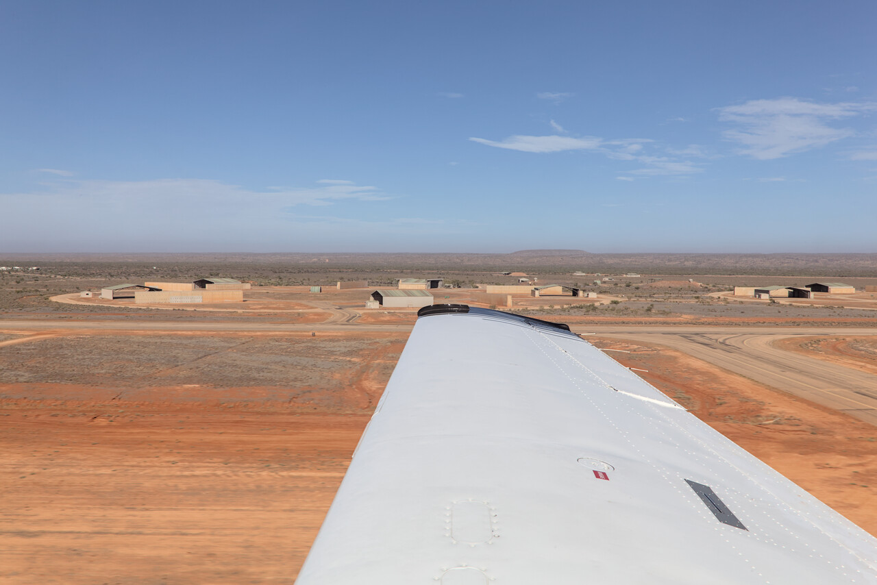
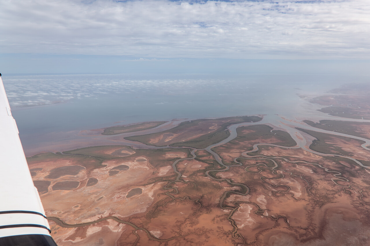
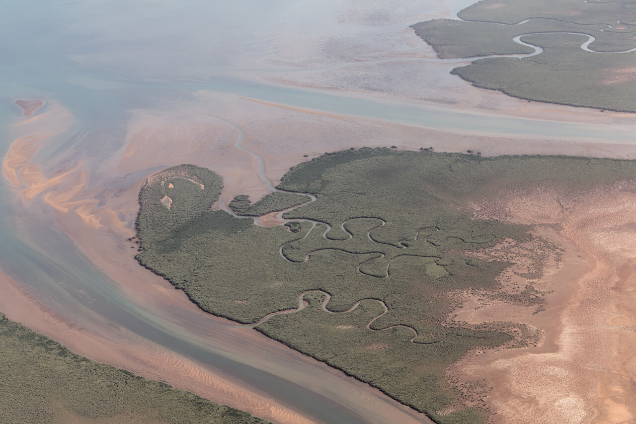
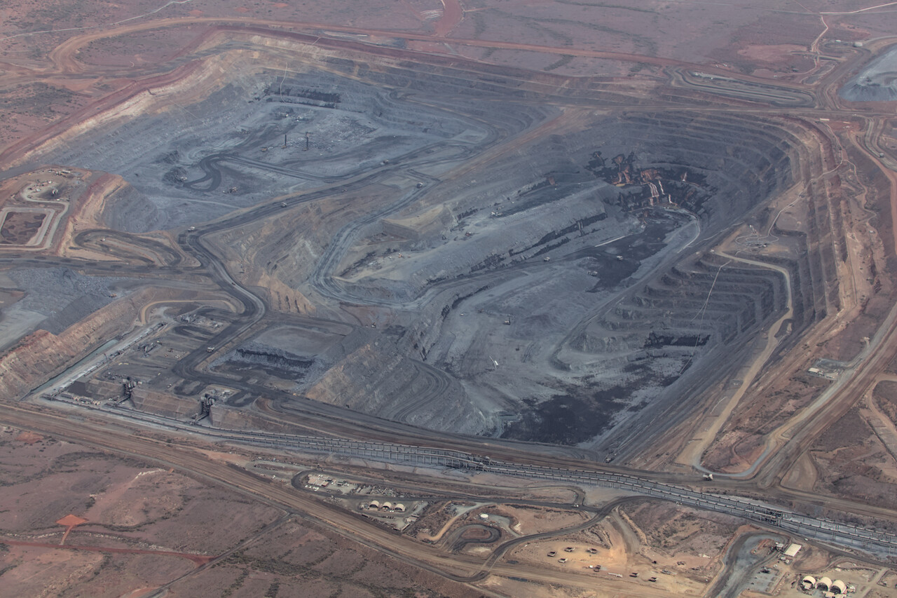
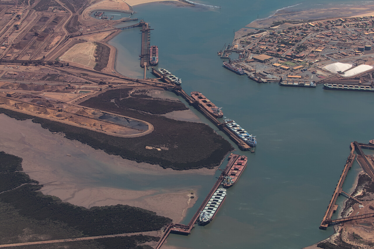
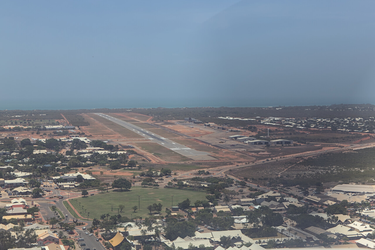
Broome came to life as a pearl hunting base. Today there still are pearl farms in the area but it’s mainly a tourist town now. The climate is very hot and humid this time of the year but the town is a pleasant place. We visited a few of the tourist attractions, but we mainly prepared our long return trip that would commence here. And of course we had to say goodbye to Australia, a country we really fell in love with.
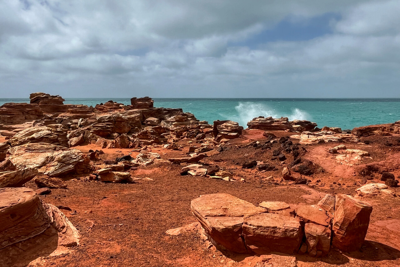
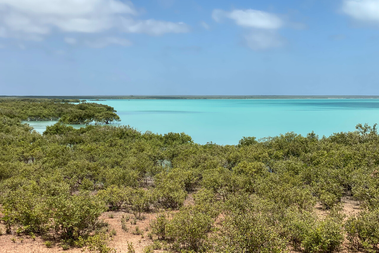
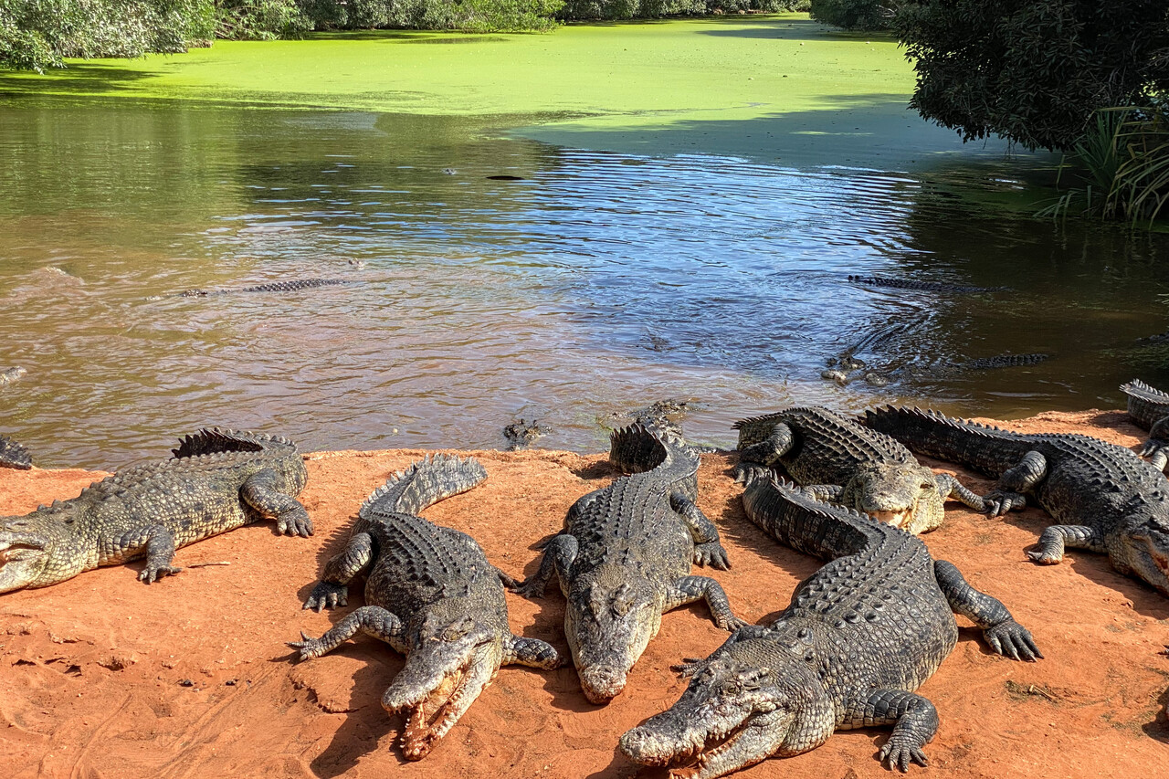
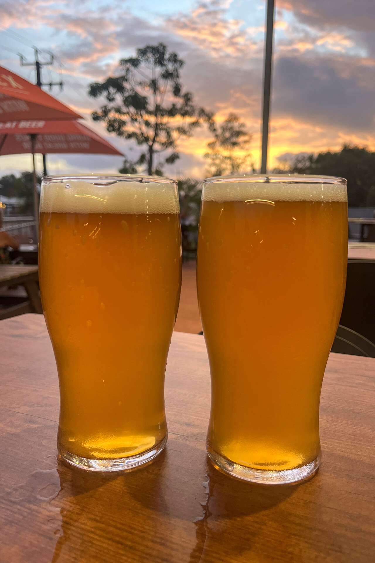
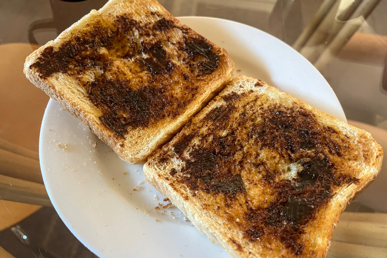
Leaving Australia
C&I is not permanently available at YBRM, they only come out on request. Their phone number is published in the AIP so we called a few days ahead. Of course we strived for an early departure again but the earliest time they were willing to meet us was 5:15 local time in the morning, what is outside the airport’s opening hours. That’s no problem, however, as there is an access gate with key code. We were instructed to taxi to one of the designated spots and wait there by that time on the agreed day.
Logistics turned out to be a bit complicated. We asked with the car rental company if we could return the car and drop the key that early. They said no, key drop is not possible outside airport opening hours as the gate to the parking lot will be locked. So we drove to the airport the evening before our intended departure with most of our luggage except our toothbrushes and our iPads. We dropped the luggage in the plane, returned the car and took a taxi to our apartment. We asked the driver if he would be available the next morning before five but he said no, and there would be no taxis in Broome at all before six.
We weren’t too surprised, we had almost expected this. We left the apartment at half past three the next morning and walked to the airport. The designated C&I spot was only 50 meters away from our stand. We taxied across the apron, did all the preflight checks and waited. At 5:15 two nice and friendly ladies in border force uniforms appeared. They took a brief look at our passports, gave us a printed certificate of clearance, said “have a nice flight” and we were good to go.
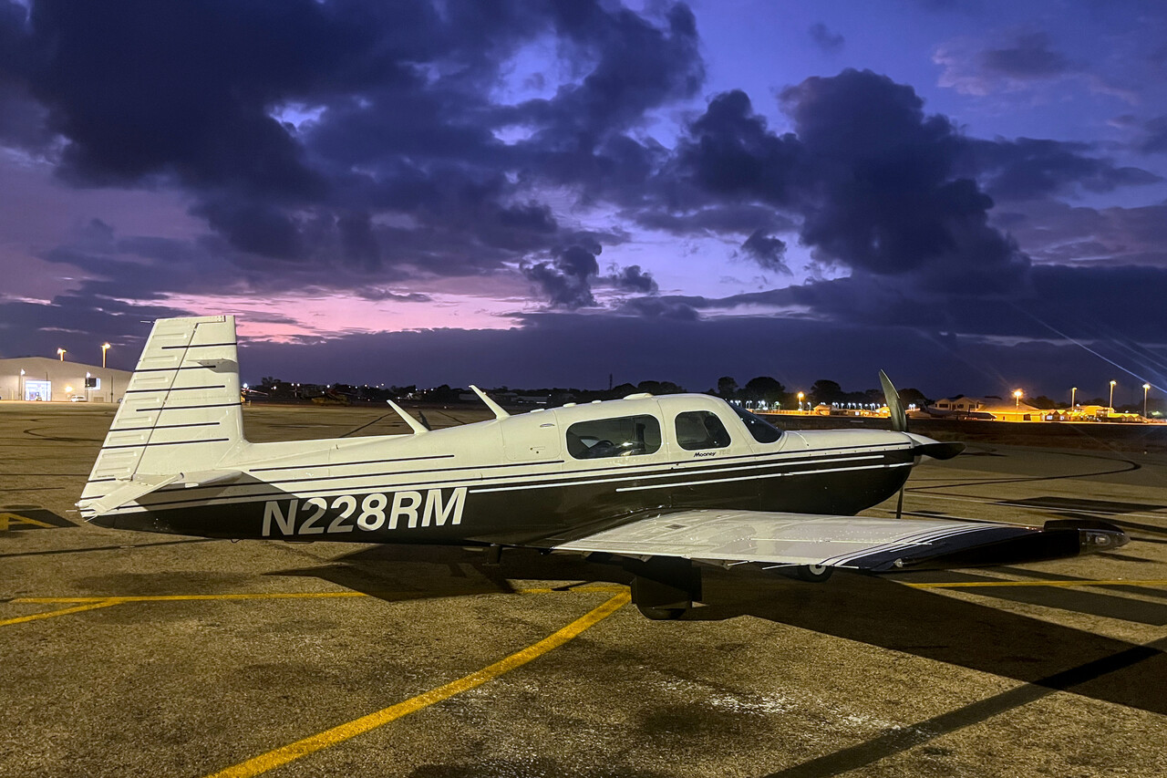
Our Australian loop
Within a little over two months we flew all around the Australian continent and landed at 32 different airfields – needless to say, it was a great adventure! Besides all the overwhelming experiences we made, one thing sticks out: the friendliness of the Australians. This applies to people we met in everyday life, but even more so to fellow pilots. Especially the community spirit of Australian Mooniacs was unbelievable. Their hospitality left us humbled and deeply impressed.
The other thing I’d like to mention is how much we enjoyed the landscape during our flights. The pictures here can’t do the real beauty justice, but I hope you get an impression.
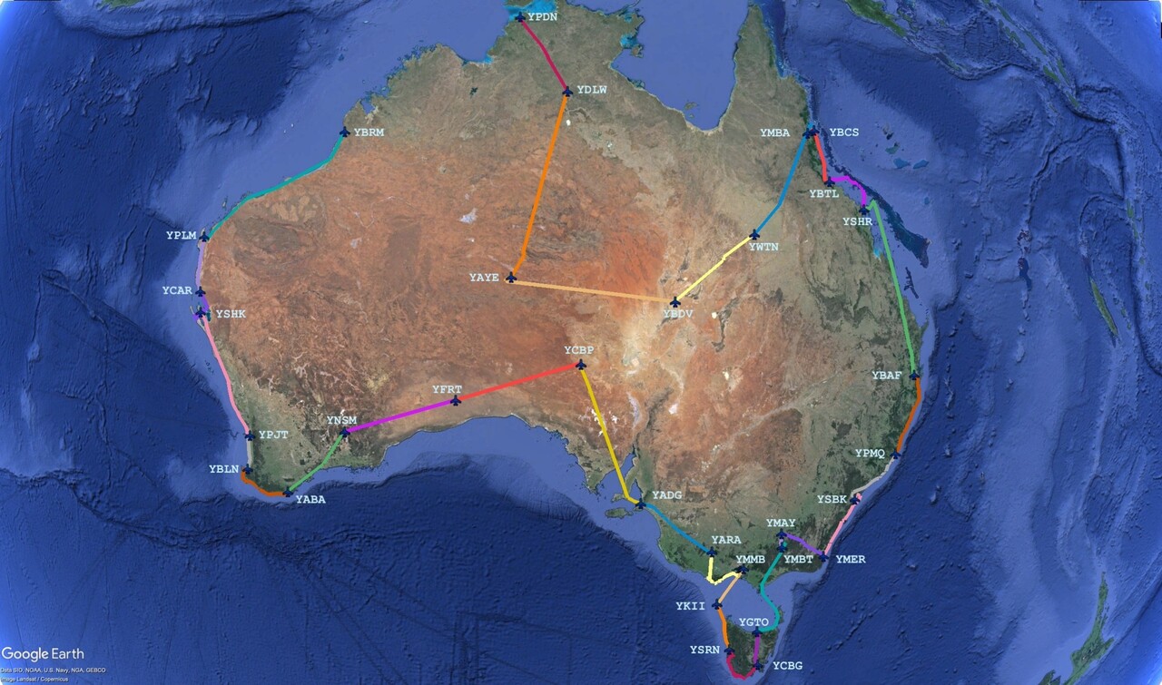
A few practical aspects
Picking an ideal season to visit all of Australia is impossible. During the European winter it’s nice in the southern parts of the country but it’s brutally hot in the center and the west while it’s rainy and stormy in the north and northeast. Any other period of time would have drawbacks as well, so there will always be compromises to be made unless you can spend a whole year down under.
In retrospect we would again choose the southern summer and skip the European winter. Over all we were rather lucky with the weather. Only four of our flights were under IFR – one just as a test and two in the very south. It has to be mentioned though, that a tropical cyclone delayed our journey for almost a week up in Queensland. We had a few windy landings, but that has probably to be expected if you land at so many fields close to the coast. The thermals in the interior can be really bad but you don’t need a degree in meteorology to expect that 🙂. We just tried to fly early and climbed high enough to make it bearable.
Except for a few really quirky regulations and this dreaded ASIC card, flying in Australia is nice and easy. The upper limit of uncontrolled airspace G is generally FL125 but we never had to climb that high while we flew domestically. There are layers of controlled airspace (E, D, C) around terminals but this is no different from other countries. ATC was always friendly and helpful, they offer US-style flight following for VFR flights as long as they have you on the radar. Otherwise procedures and radio phraseology is closer to Europe. One remarkable difference to the US as well as to many parts of Europe is that instrument approaches into uncontrolled airports are completely in airspace G. Therefore it’s aircraft to aircraft communication not only in the pattern or close to it but well before that. However, ATC has radar and will provide traffic information to IFR aircraft and others that are on the frequency e.g. for flight following.
Pilot and looking for a vacation destination?
It’s a major endeavor to fly your own plane to Australia, of course. However, it’s possible to rent an aircraft in the country. In fact we did this fifteen years ago, so this wasn’t the first time we flew down under. Validation of an EASA or US license/certificate by CASA requires quite some paperwork but it’s doable and the process is rather straightforward. The ASIC card will require some planning, but with good preparation (and unless you do it from Darwin), you can hold it in your hands three or four days after your arrival. You will need a few days to acclimatize and to do the checkout anyway. If you have the chance, do it, I highly recommend it!
Back to Indonesia in the rainy season
After our stops in Indonesia on the way down didn’t quite work as we had hoped for – due to the lack of Avgas in Jakarta – we at least could arrange fuel in Surabaya and Jakarta on the way up. There would have been many other interesting islands we would have loved to stop at, but no way to get Avgas there.
Anyway, we would have done that in October or November, as February is the peak of the monsoon season in most of Indonesia. Thunderstorms are common year-round on these islands, however as a general pattern, in the dry season they may occur in the afternoon while the mornings are usually sunny. In the rainy season mornings may be dry, but storms are almost guaranteed in the afternoon. Moreover, convective activity is common over land during the day and moves out to the sea at night, again as a general pattern only.
Of course we tried to depart early as usual and planned our routes along the coast where possible. What makes things complicated is the lack of flexibility – permits are valid for a specific date and have to be obtained well in advance. Schedule changes on short notice are very complicated. In the end we were really lucky with the weather.
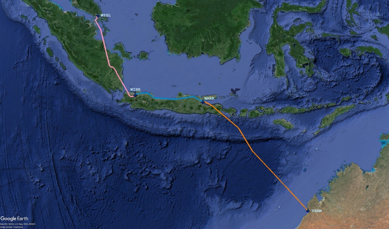
We left Broome, YBRM for Surabaya, WARR before sunrise for what would be the longest overwater leg of our journey. Cyclones are possible in the region in February, but none was around that day. We could enjoy quite a bit of tailwind and there were almost no clouds for most of the flight.
We don’t have HF, but we do have a panel-mount Iridium phone, which is really nice. Unfortunately it had developed an intermittent fault on this trip. The system consists of the actual phone, mounted in the tail cone and the head unit mounted in the panel. It worked reliably on the ground, but usually some time into the flight the head unit would lose contact to the phone. This is most probably a loose contact, of course, but I was not able to reproduce it on the ground. It’s much easier to track down such a problem back home in the hangar than far away on on a foreign apron.
Once we were in the air in Broome and ATC asked for HF we didn’t want to mention our sat phone, even though they asked for that as well. Obviously it would have got complicated if ATC weren’t able to reach us. However, Australian ATC proved to be very pragmatic once again, and asked if we could send text messages in flight. We could do that with our Golze ADL – poor men’s CPDLC. After they had provided us with a phone number and we had exchanged test messages, they asked us to send our position, flight level and estimate for the next intersection every half hour. We were told that they had to put an uncertainty phase on us, as this was not an officially acceptable means of communication, but they would remove it once we were in radio contact with Bali.
It took us just over four hours to reach Bali, about the same as the North Atlantic legs. Indonesian ATC was also good, they gave us a few vectors south of Bali’s busy airport and then sent us directly to our destination. Weather wasn’t an issue, even over mountainous terrain.
After we had landed and reached our parking position we met the friendly handling crew again that we already knew from our first visit. This time Avgas was delivered shortly after our arrival. We were taken through C&I and we were good to go after an hour or so.
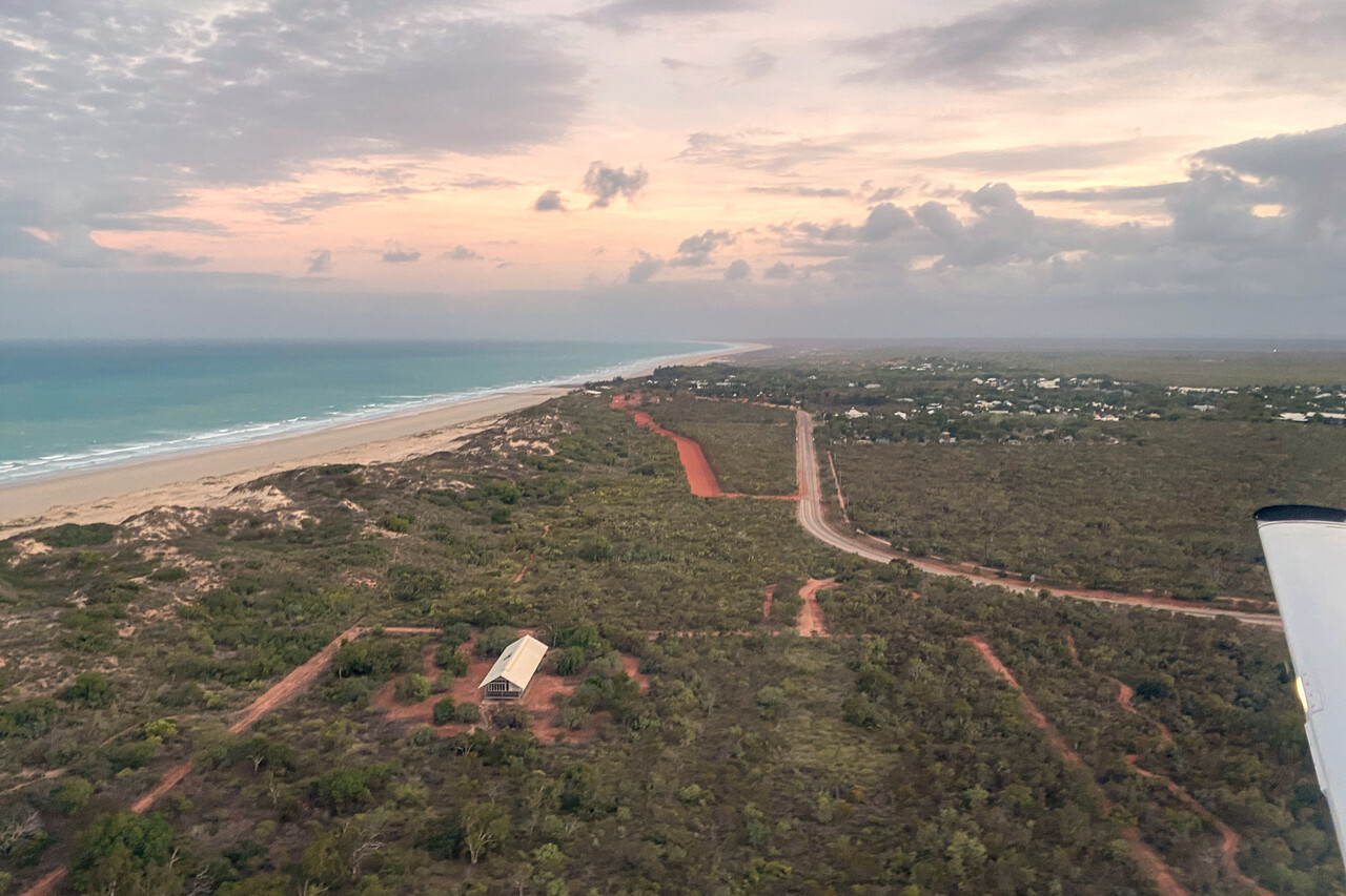
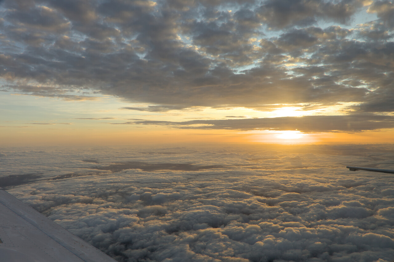
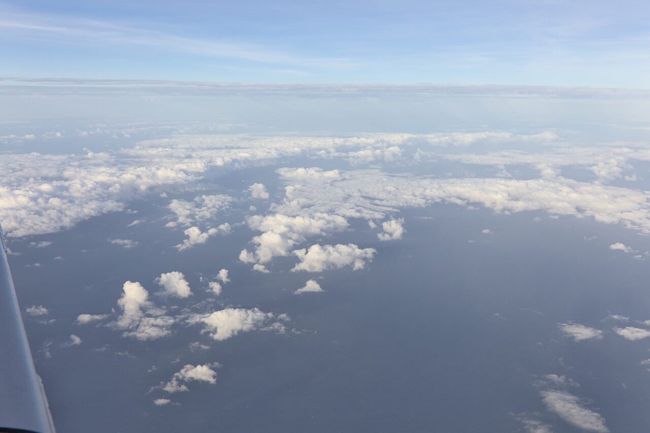
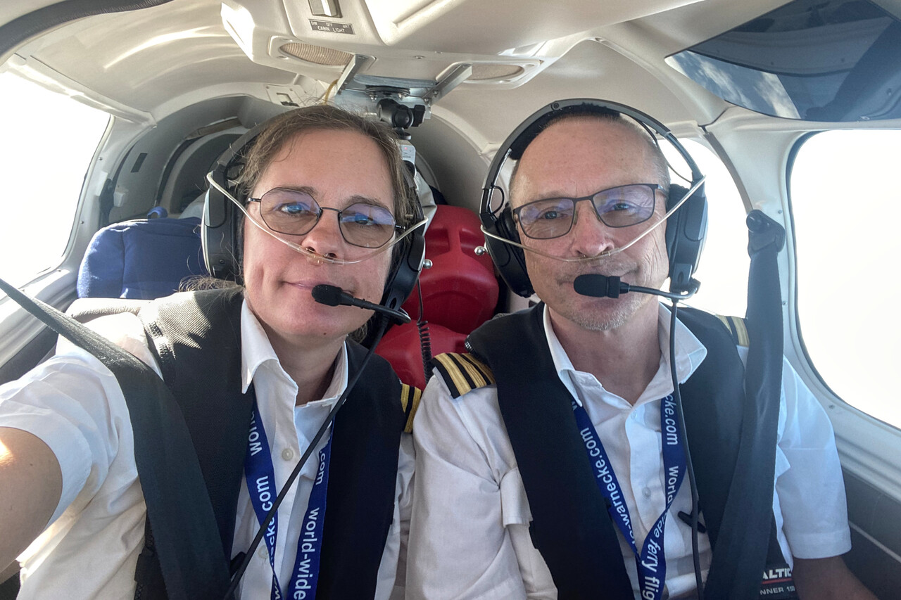
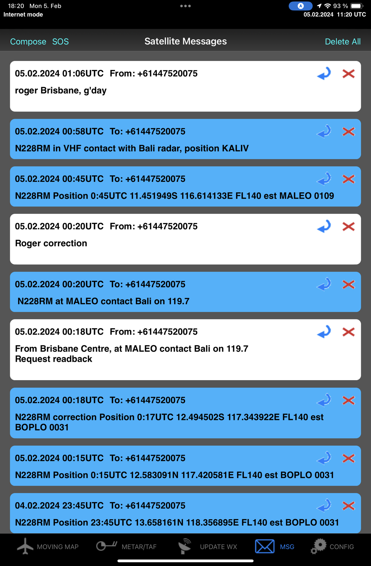
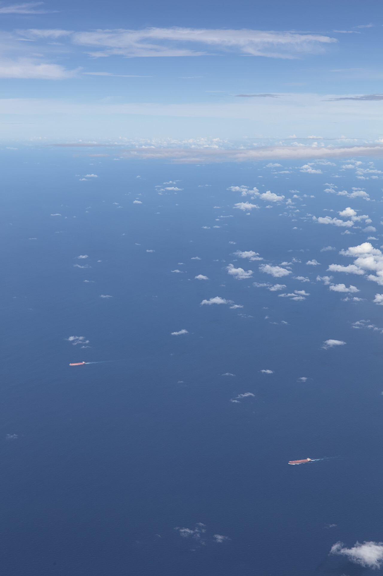
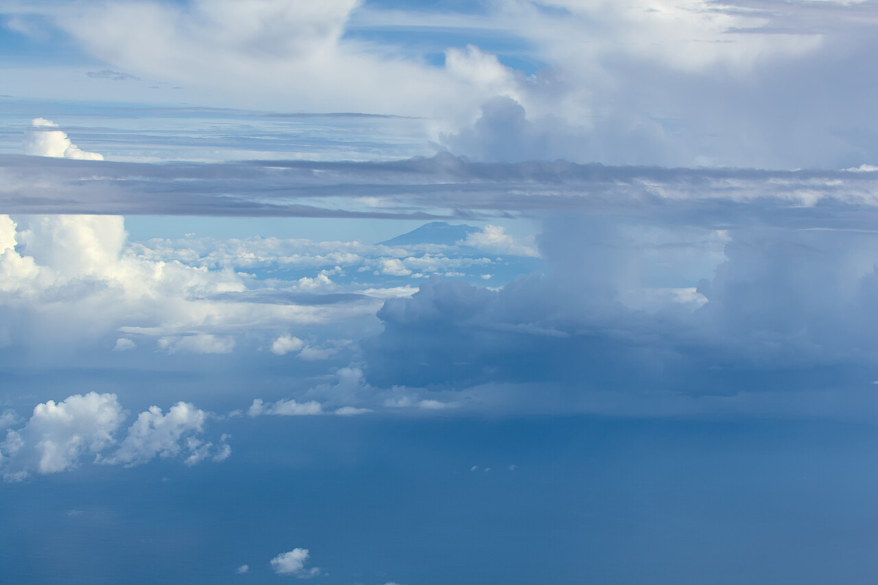
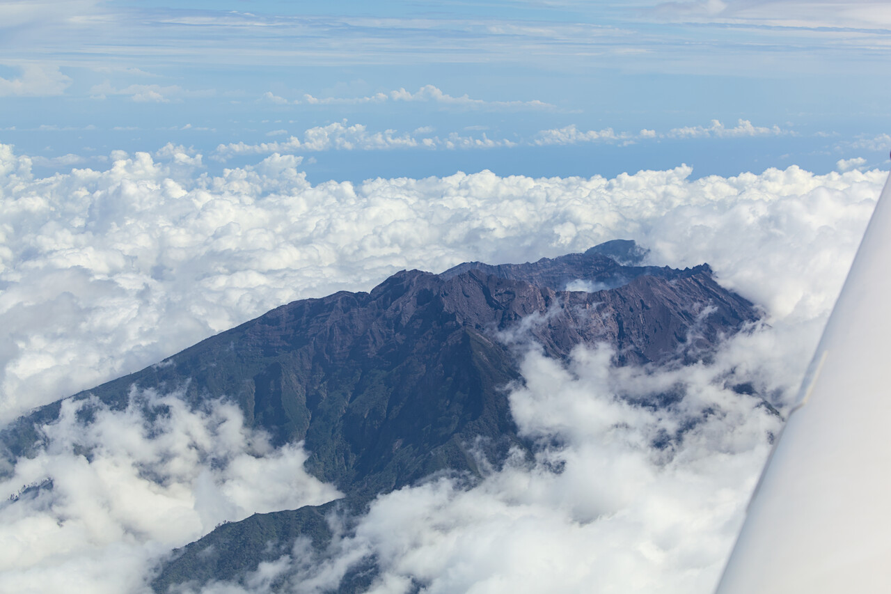
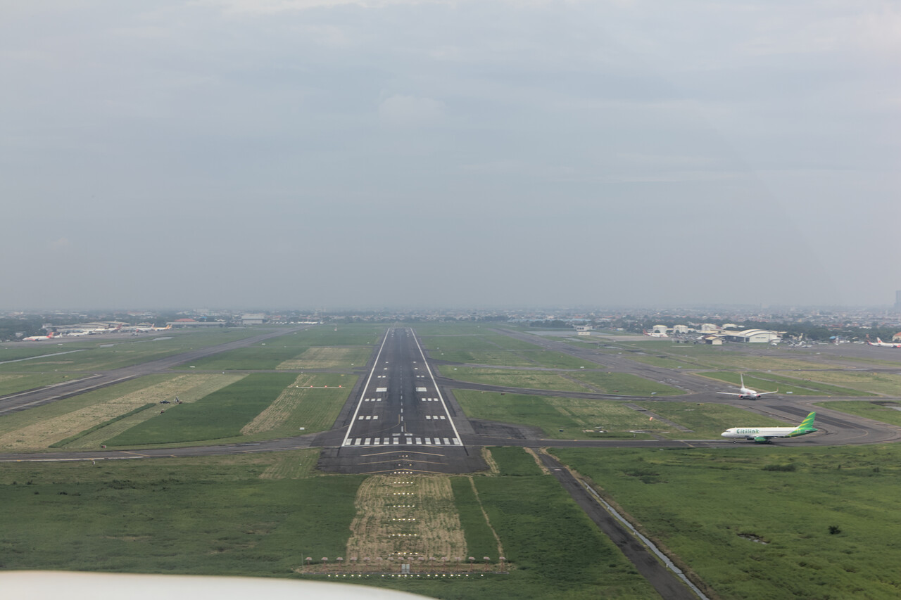
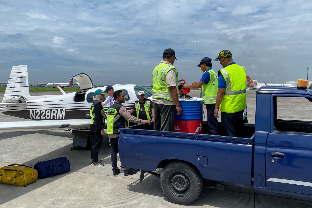
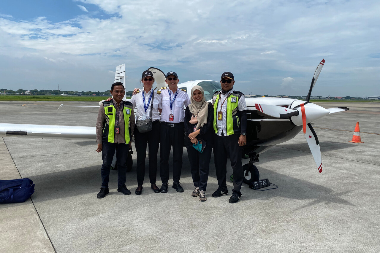
We stayed at the airport hotel, which is located in the terminal building. This must have been the smallest hotel room we ever had in our lives. Anyway, it did the trick – it had two comfy beds, a good aircon and was reasonably clean. And our room had a window directly facing the apron.
I didn’t have many nice memories of Surabaya from previous visits and this wouldn’t change much. We took a grab (Asian Uber) to the center, but this city is really nothing to write home about. At least we could get some passable Indonesian food we love so much. We went back to our hotel before the afternoon thunderstorm hit.
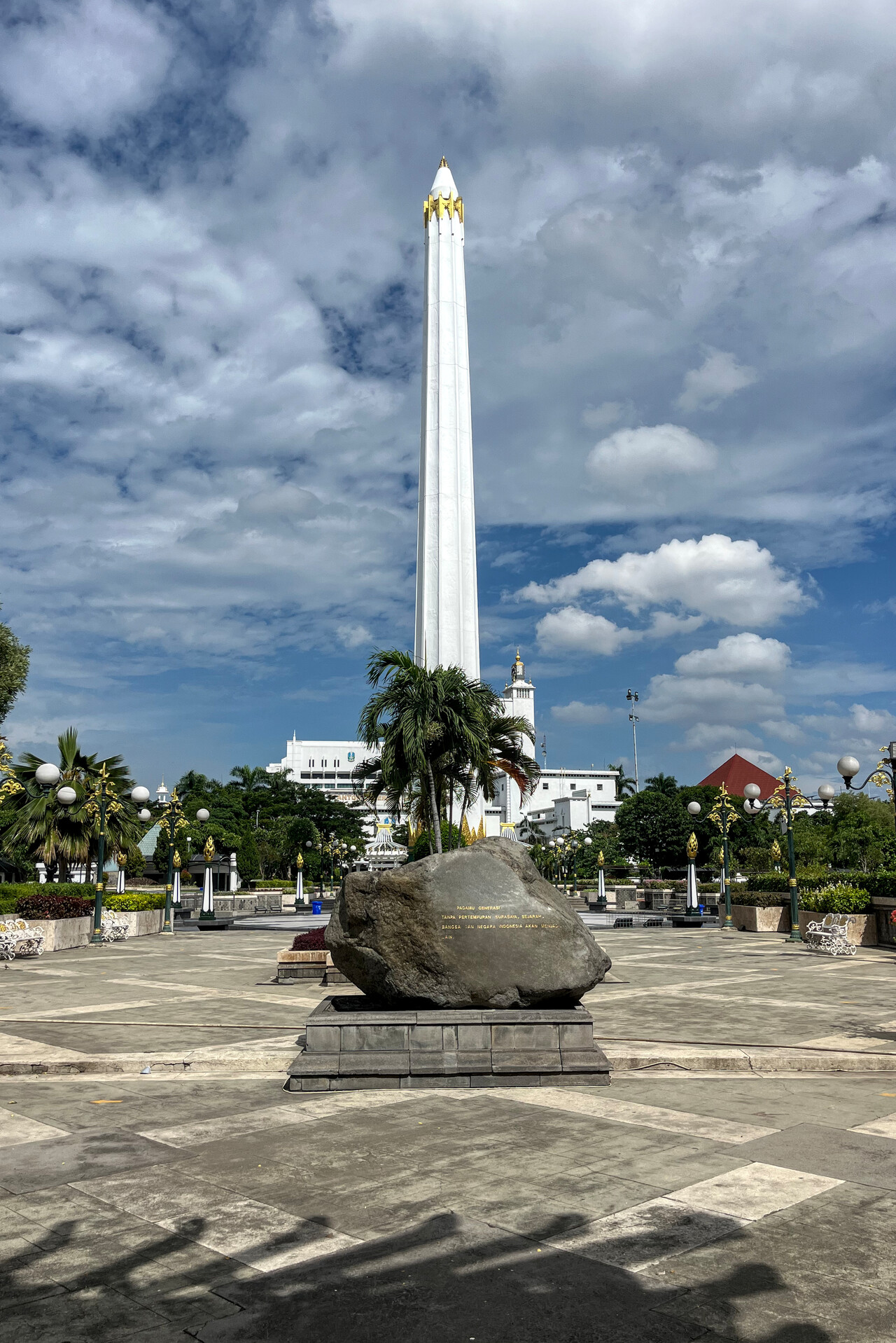
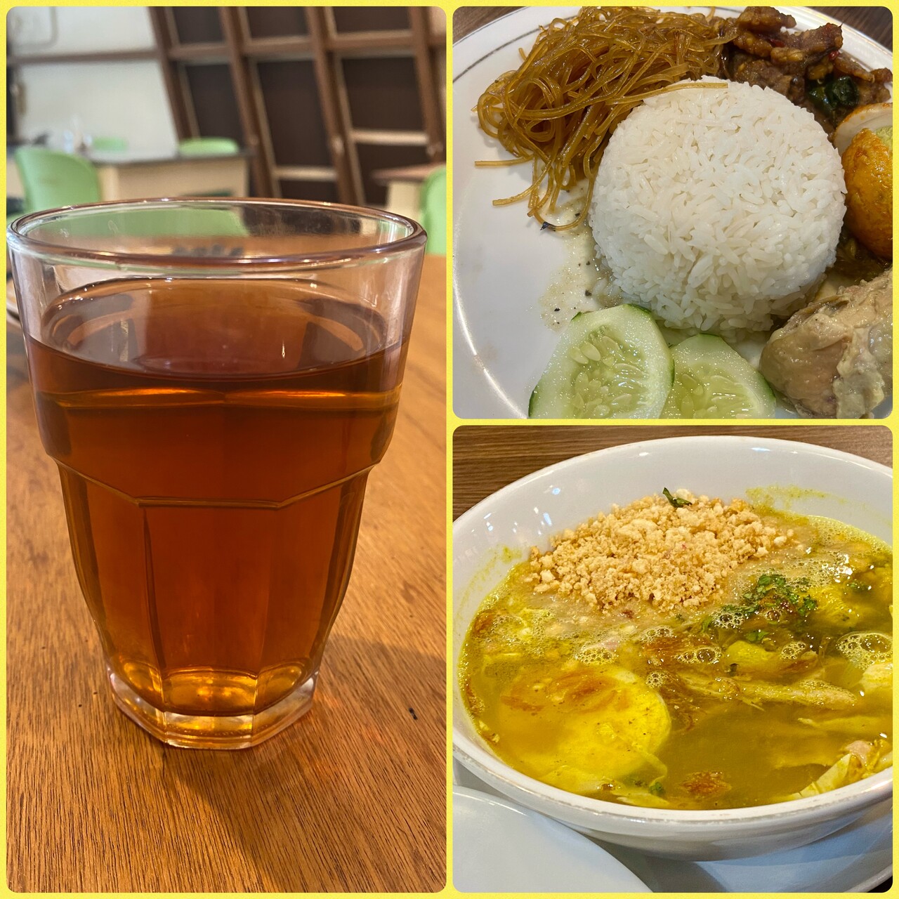
The weather on the next day for our flight to Jakarta Halim, WIHH, along Java’s north coast wasn’t perfect. The storms had been active till well into the night and still were, over the sea in the morning.
The route we had to file would have taken us far offshore where the satellite image and later the stormscope showed a lot of activity. Again Indonesian ATC was very good and professional. We explained the situation and requested to fly along the north coast, way south of our filed route, what was immediately approved in very good English.
We had a flight in relatively calm air along the coast with all the convection to our right. In fact flying in the rainy season has also advantages: visibly is often quite good in the morning.
To our great relief fuel arrived shortly after we were parked on the main apron at Halim. We had to taxi to a stand on the other side of the runway for parking once we had the Avgas, but that was OK for us.
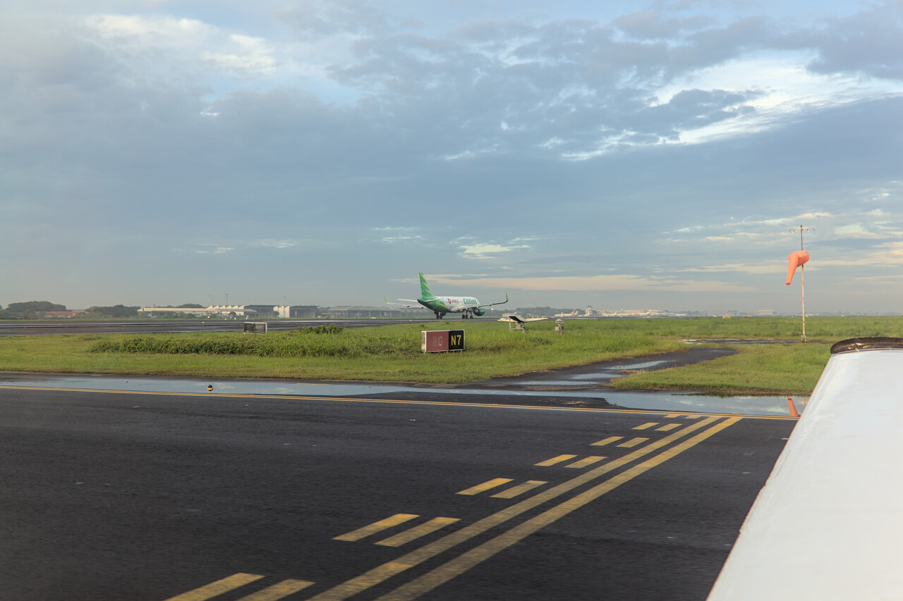
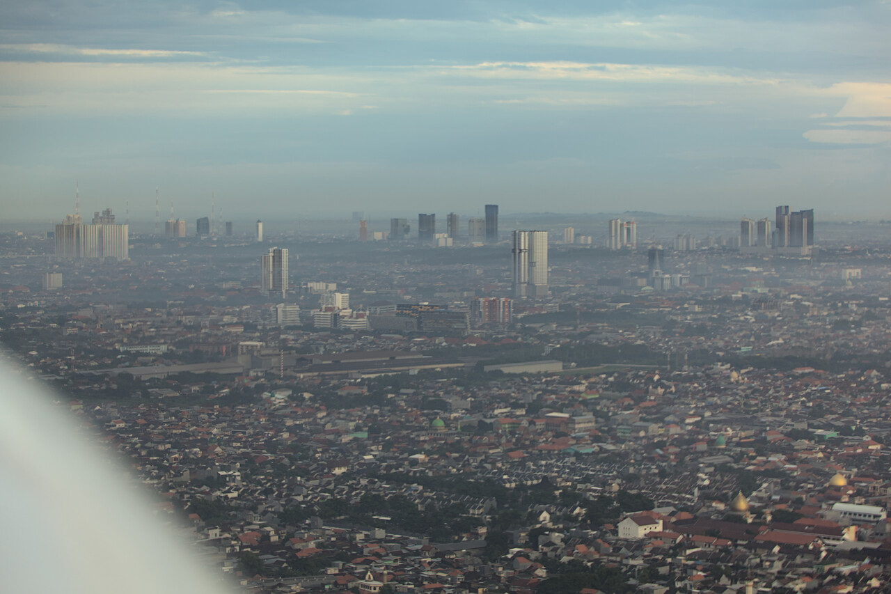
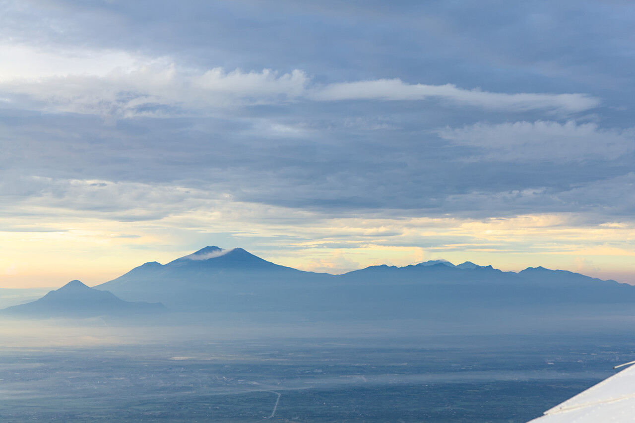
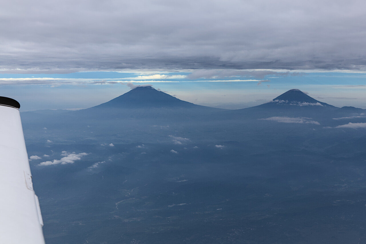
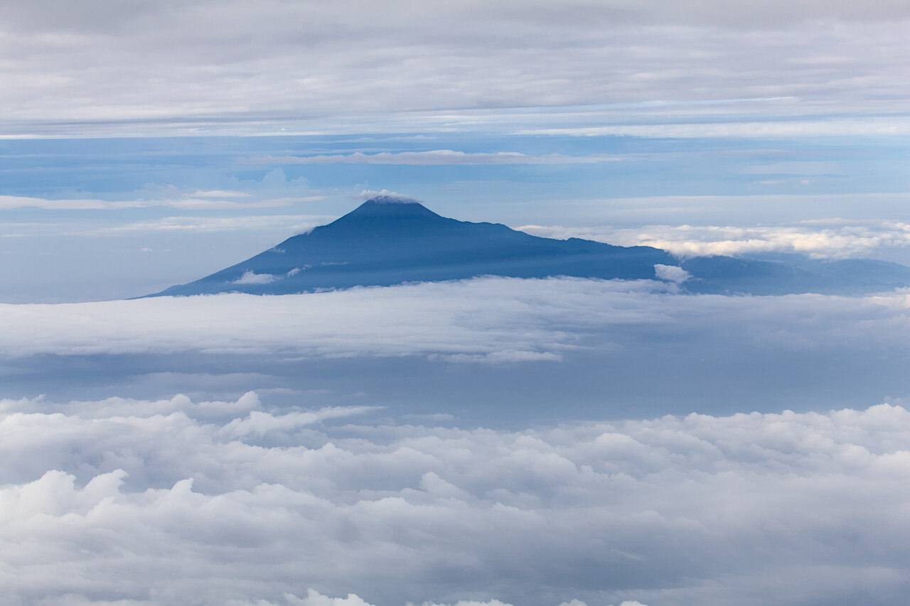
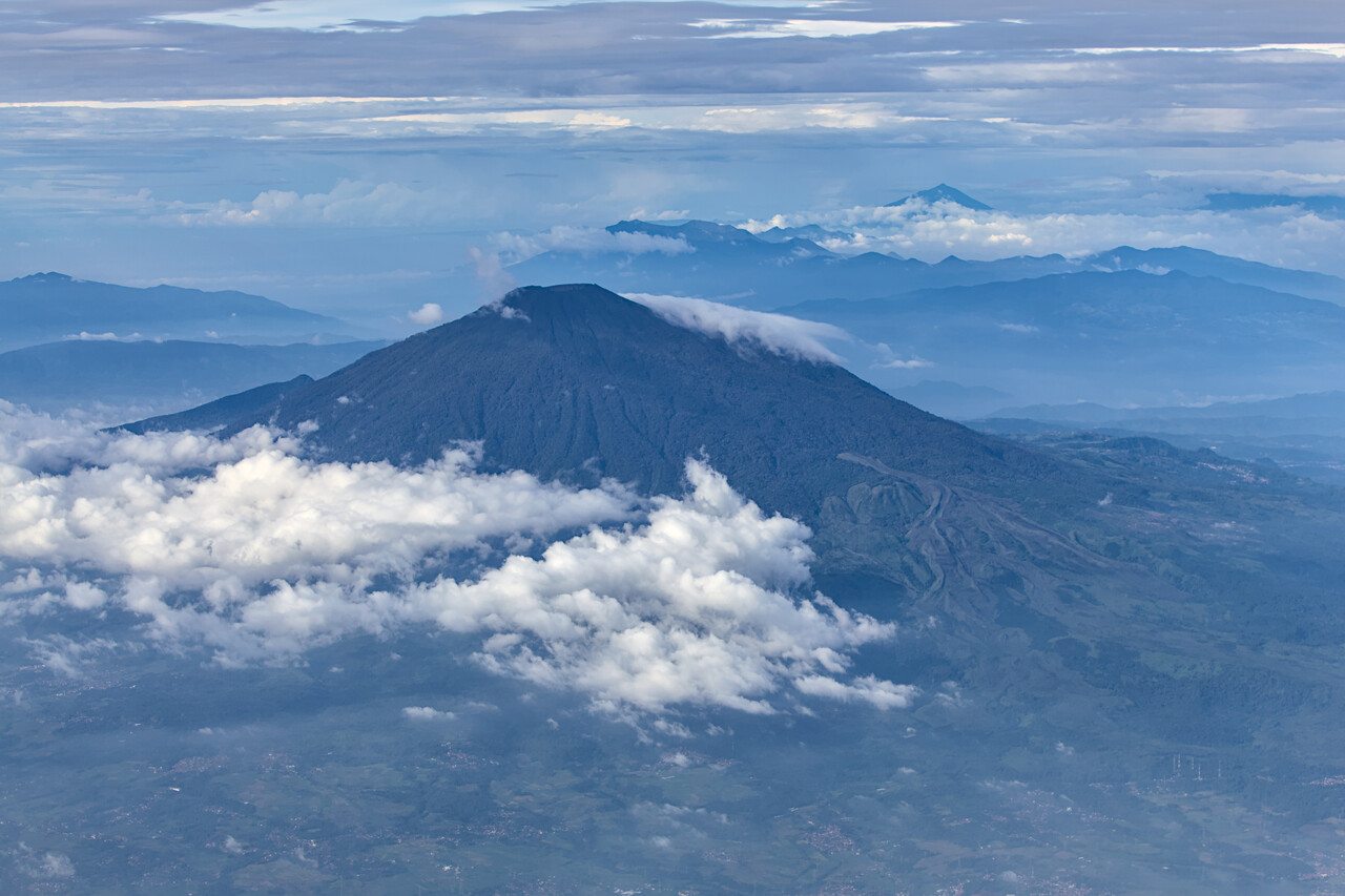
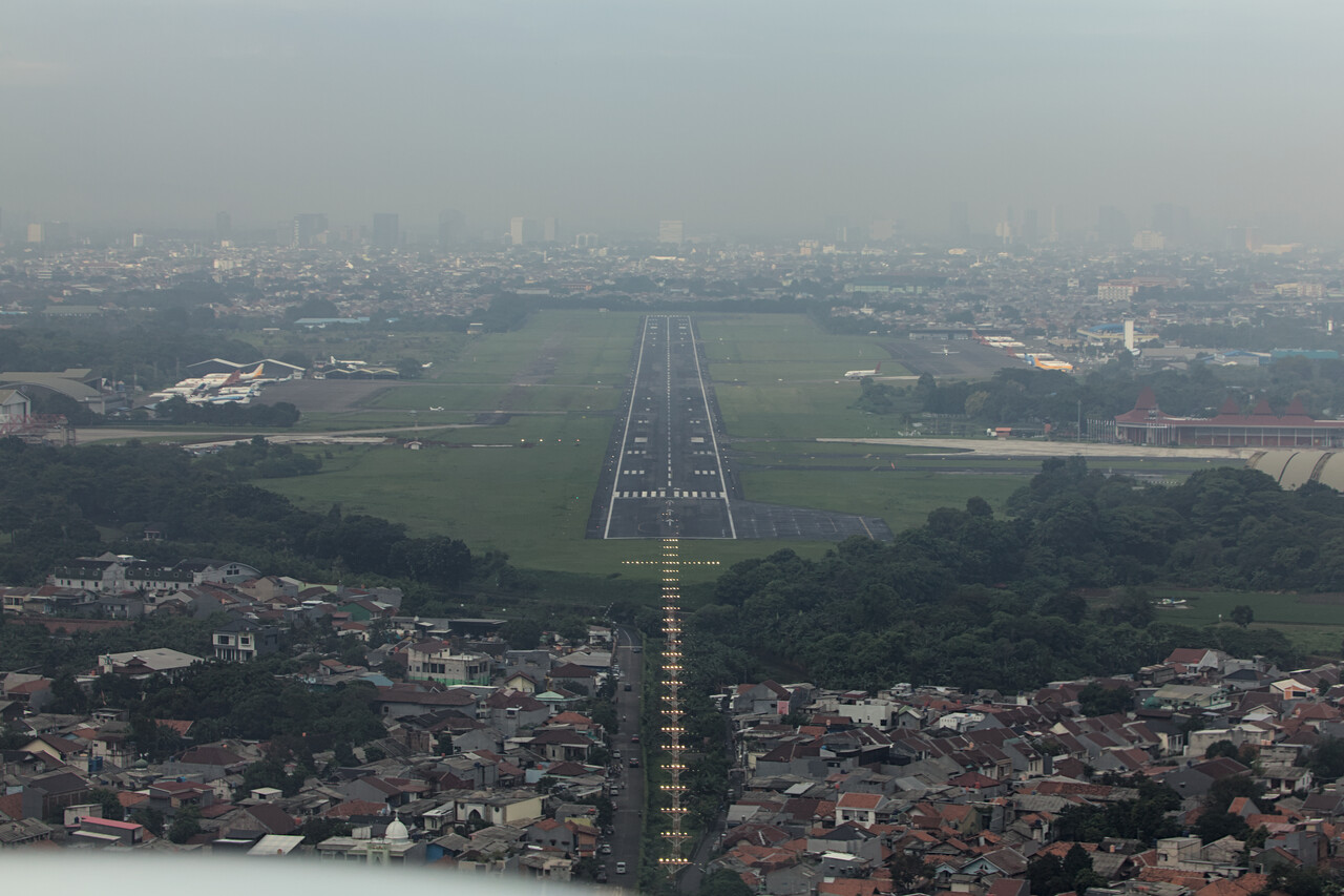
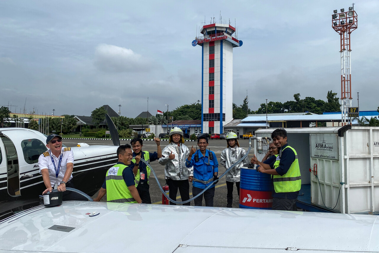
Jakarta doesn’t have the best reputation as a tourist destination and it isn’t New York for sure. Therefore someone called it the Big Durian and in fact it can be stinky sometimes. However, for some reason I always liked the city ever since my first visit in 1988. One obvious thing is the good and varied Indonesian food that’s available everywhere, but I also like the atmosphere.
The city used to have many residential neighborhoods where people would sit in front of their modest houses after dark and chat with each other and for sure to every stranger coming along. It was in these neighborhoods where locals would rent out a rooms to backpackers and where I used to stay many years ago. Unfortunately these areas are rare these days.
We had been to Jakarta at least ten times, so there was no touristic program to be completed, we just strolled around a few quarters we knew and liked, mainly to fill the time between meals. For example we had an excellent Padang Food for lunch right after arrival. Padang is the capital of the province of West Sumatra which is renowned for its cuisine. Padang food places are as ubiquitous in Indonesia as pizza joints are in the west. Not only is the food tasty (and very spicy), the way it is served is special: you sit down at a table and tell staff that you want to eat rice. They will start to cluster the table with ten, sometimes twenty small bowls with different curries and other dishes as well as a plate with rice for each patron. You are expected to eat with your right hand – no cutlery provided. In the end you pay only what you have touched. The other bowls will go back and will be served to other guests – not up to western standards, but the food is delicious and the experience is unforgettable.
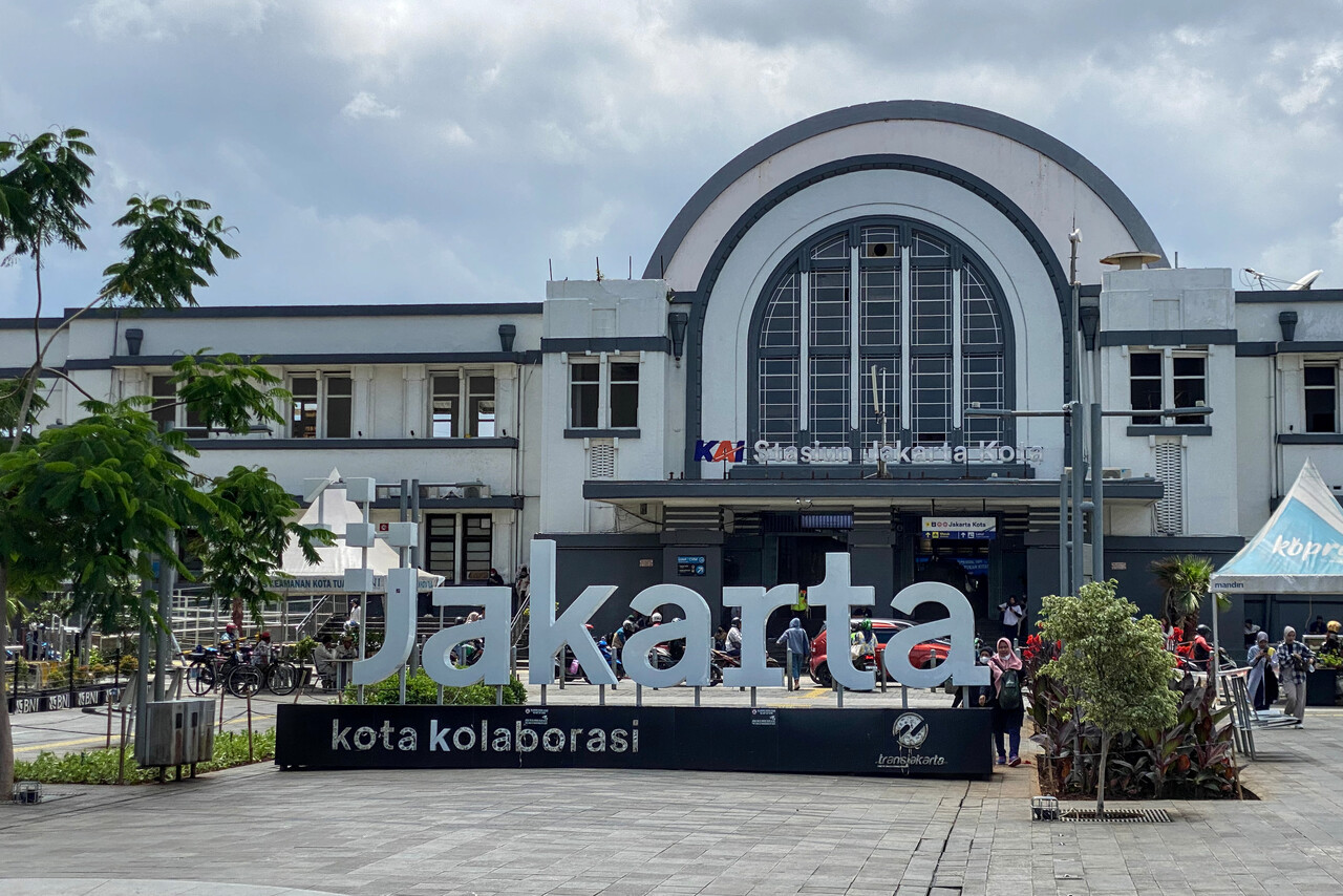
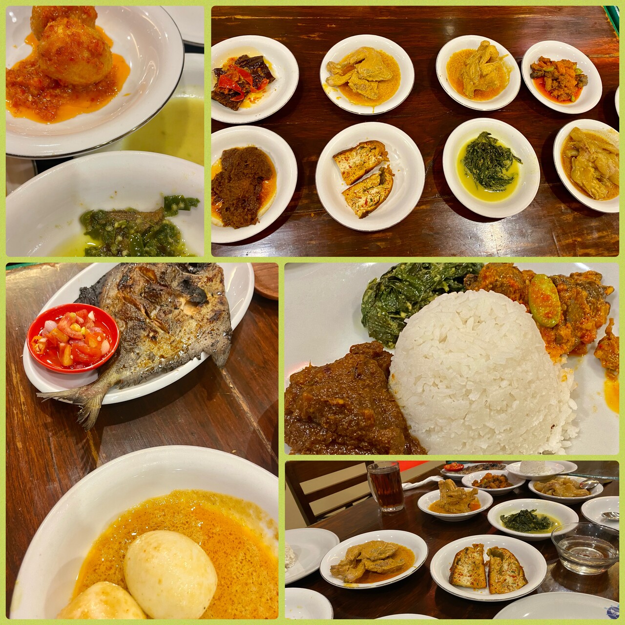
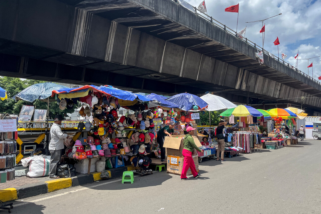
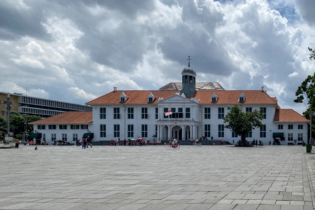
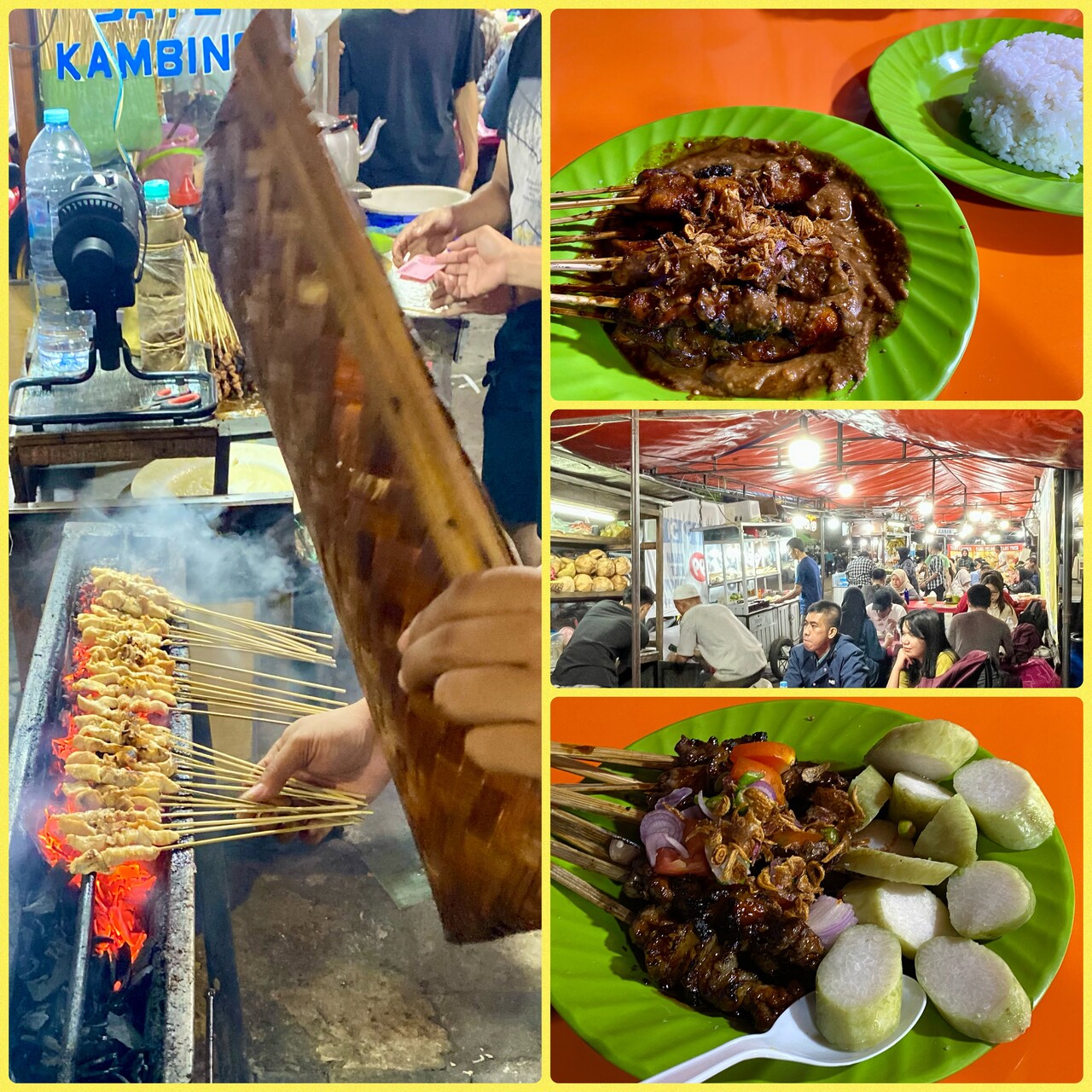
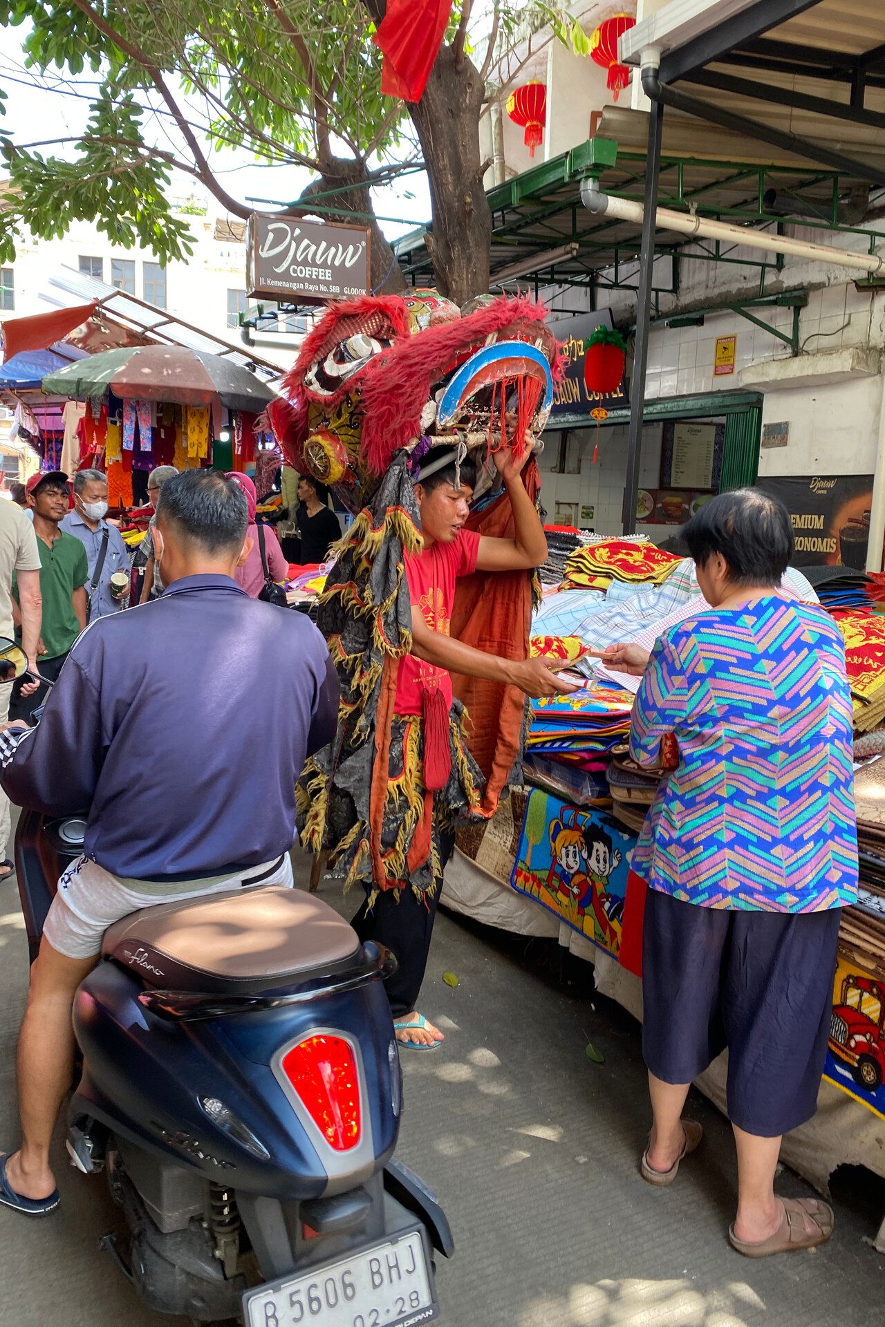
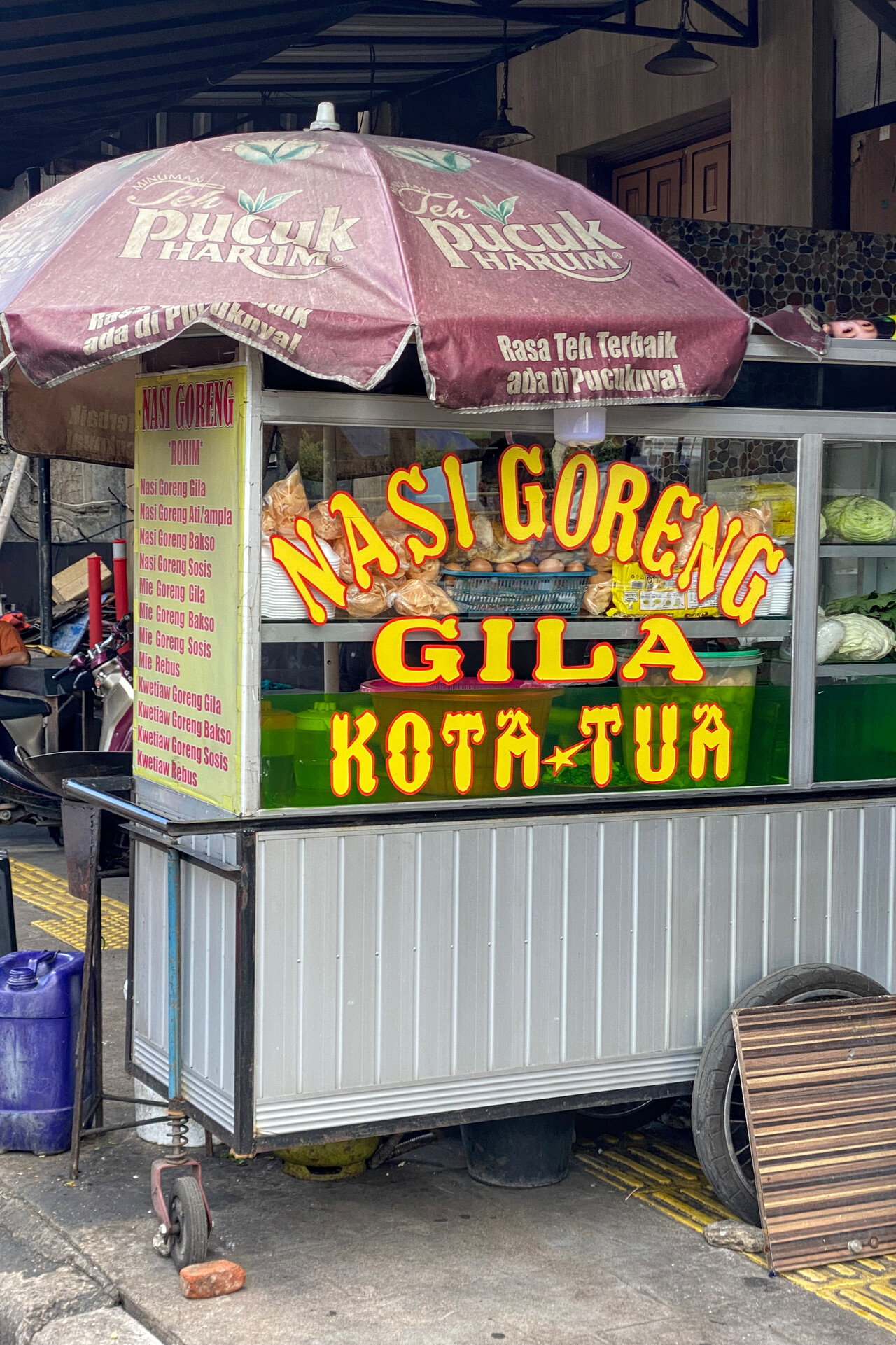
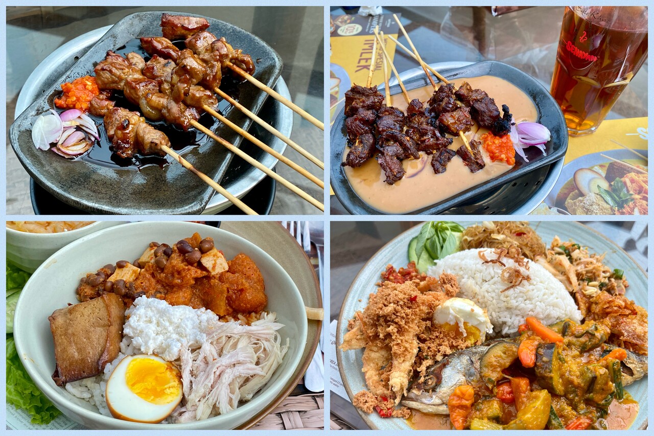
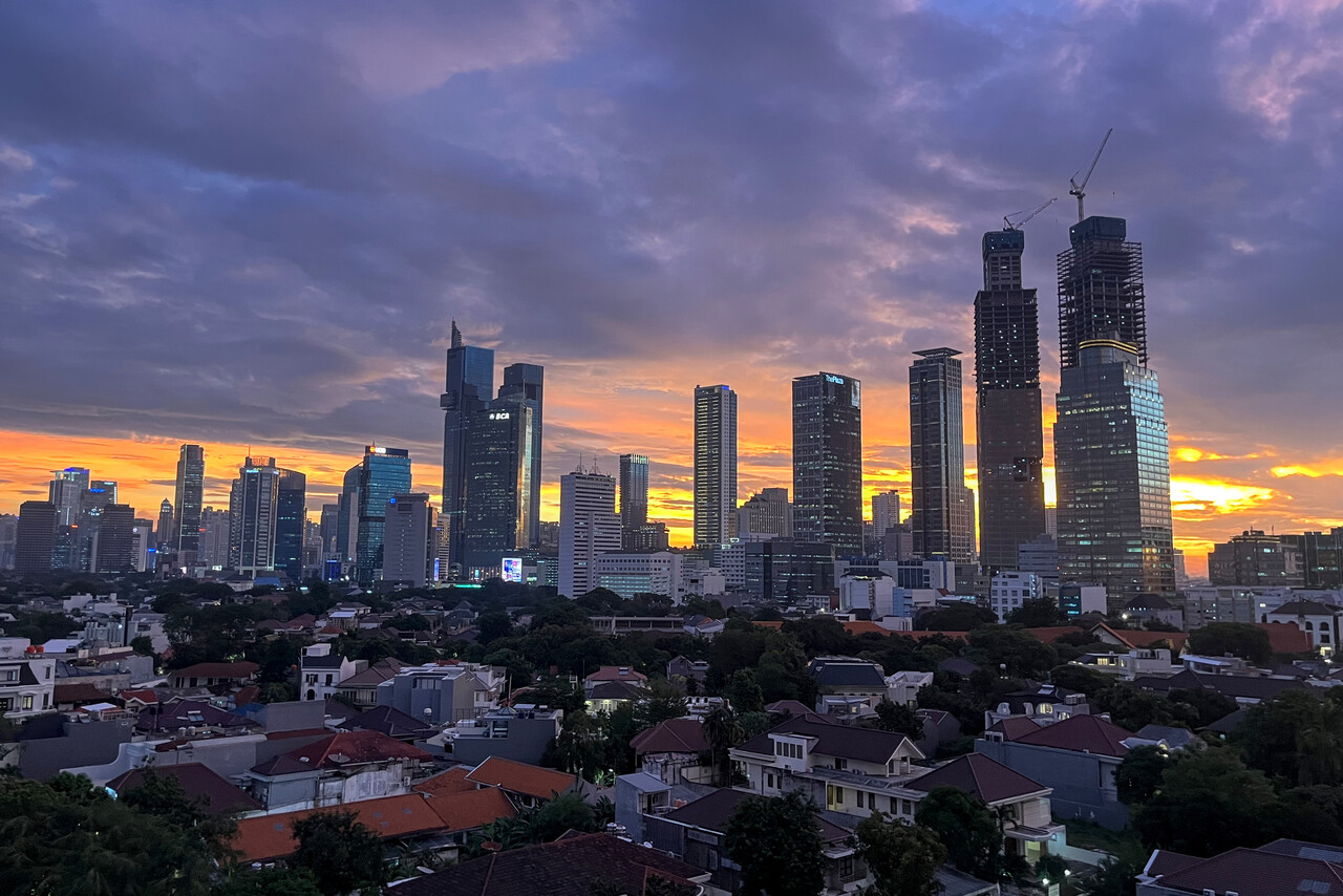
After two nights in Jakarta we left for Singapore Seletar, WSSL. This time weather in the early morning was not an issue at all and we could enjoy a beautiful flight over West Java and South Sumatra.
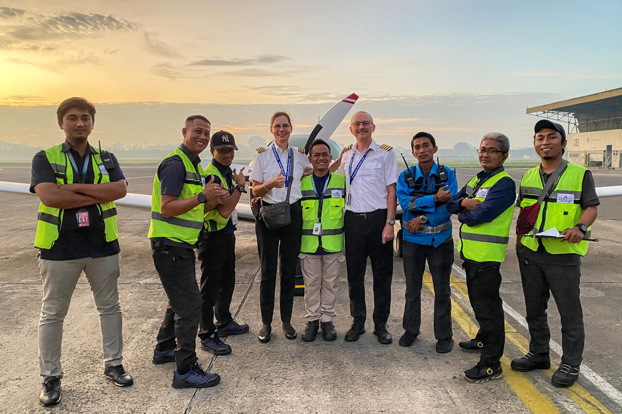
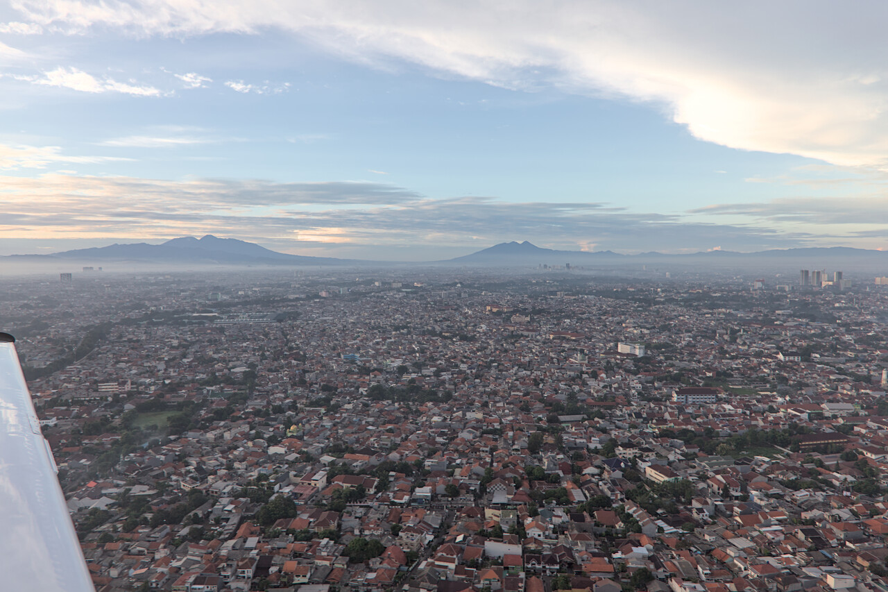
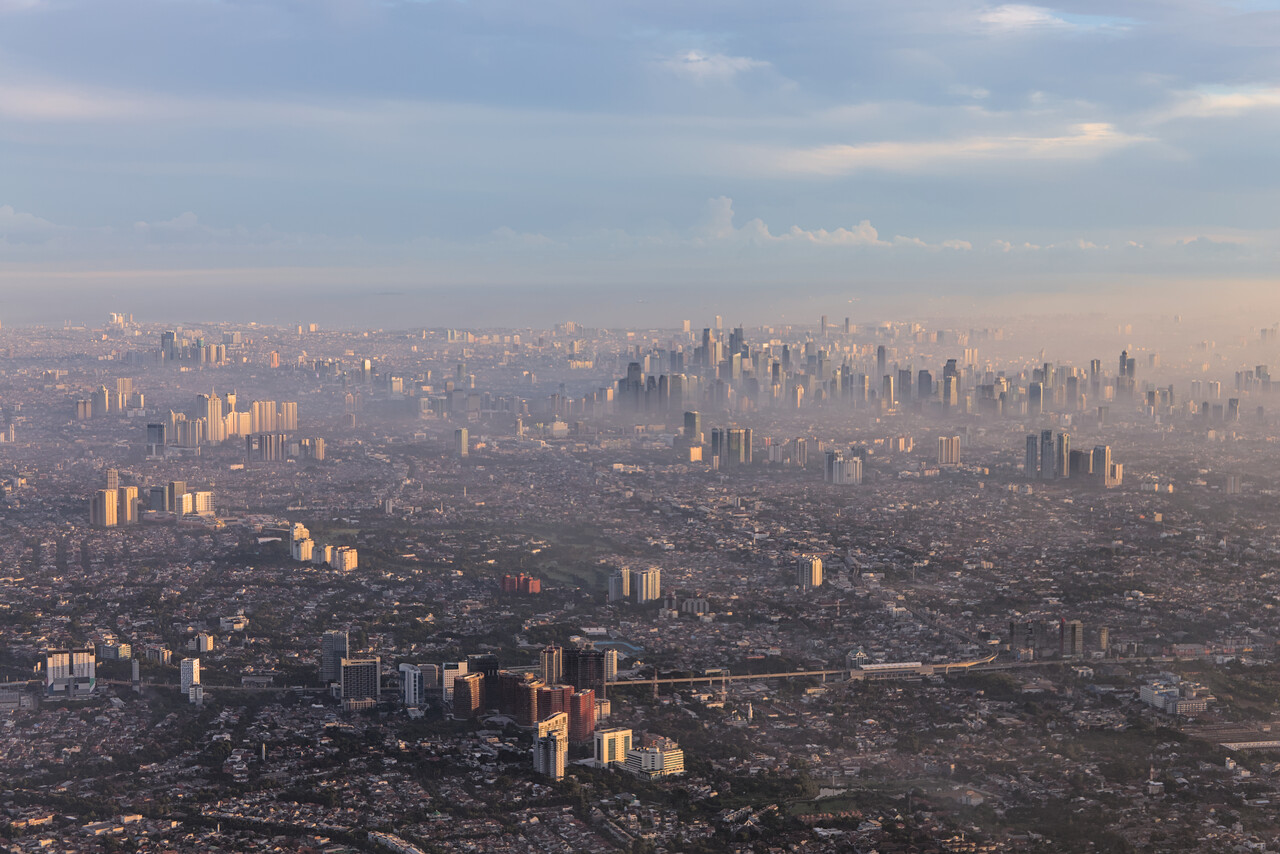
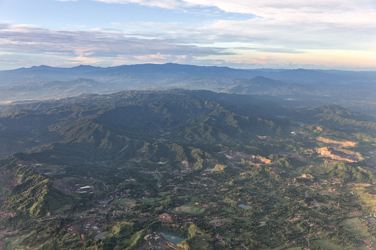
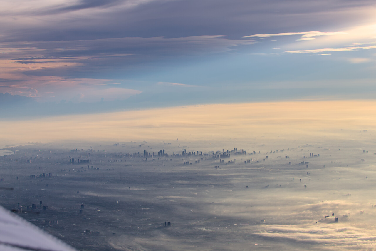
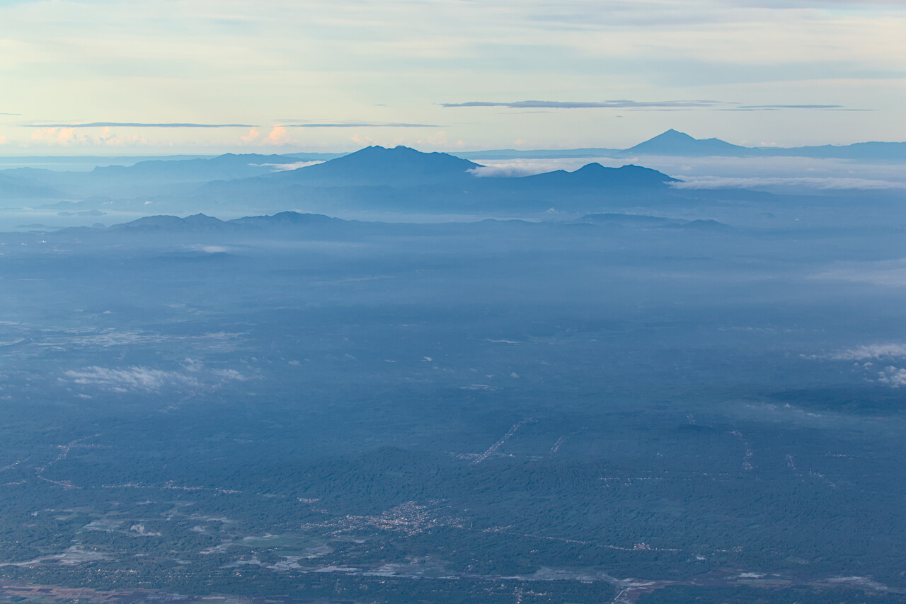
Shortly before reaching Singapore, we crossed the Equator once again. On the way down we didn’t even notice that moment but now watched closely. It was interesting to see the SBAS satellites lined up in a row above us on the system page of our GPS. They don’t contribute to the solution here. IIRC WAAS satellites do.
Singapore to Egypt
The route we had been taking to Singapore on our way down to Oz had been dictated by the availability of Avgas and obviously we would have to take almost exactly the same route on the way home. Except for the two airports we didn’t visit on the way down (and Bangkok, see below), we only spent one night at each of the stops. Fortunately this time everything worked out fine, we didn’t suffer from any delay, neither for technical nor for operational reasons. However, we had to fight a terrible headwind on almost each single leg.
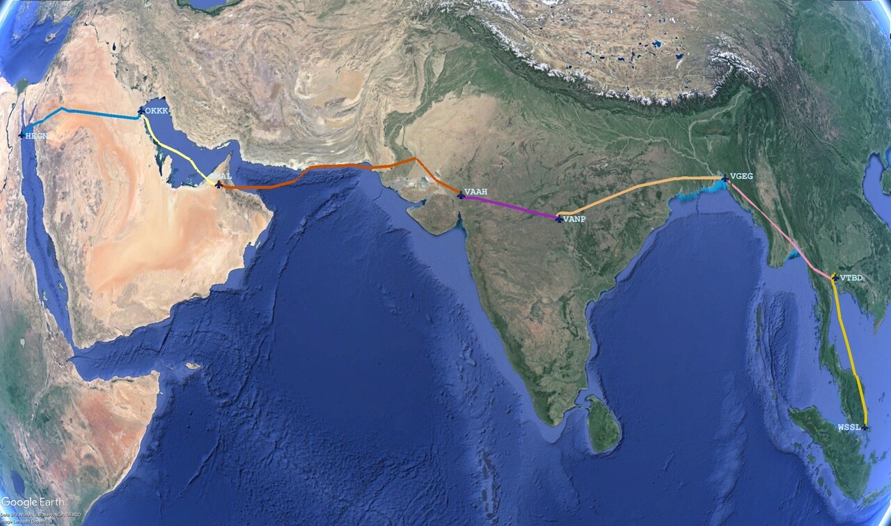
We did the last oil change of our journey in Singapore Seletar, WSSL. We had arranged to use the hangar of the same shop we had used on the way down. This time there was nobody there except for the owner, who’s not a mechanic – it was Chinese New Year’s Eve. All went well without problems directly after our arrival.
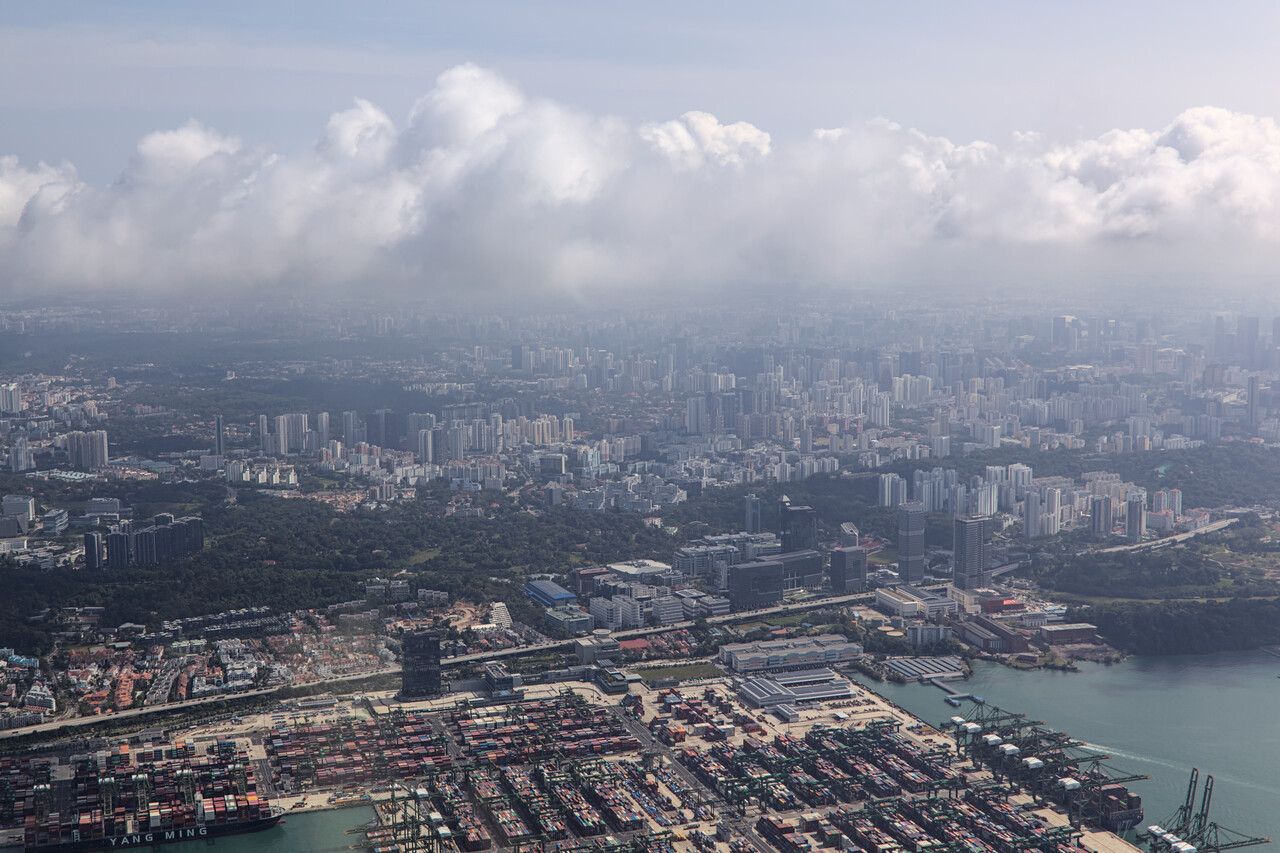
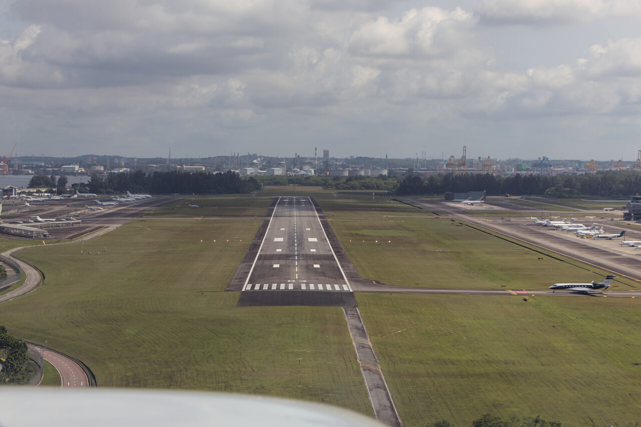
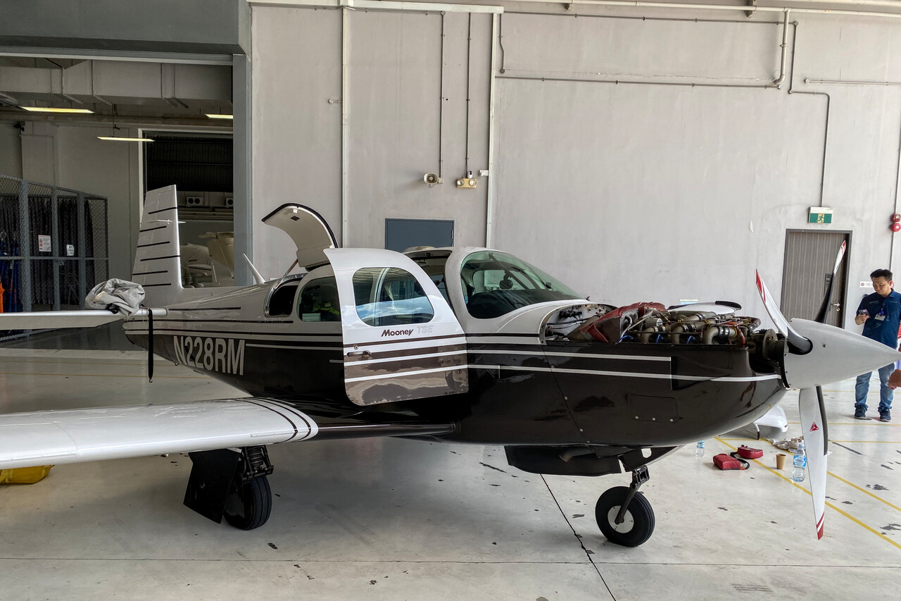
Singapore Seletar, WSSL to Bangkok, VTBD
Singapore is still heavily affected by monsoon rains in February while in Bangkok it’s supposed to be dry season. We left early and flew at FL180 as this was the last leg where we could hope for a little tailwind till we would reach the Mediterranean.
To our surprise CB and TSRA was forecast in VTBD’s TAF. We later learned that this in fact quite uncommon in February but nevertheless, when we arrived in the area after an uneventful flight, there was a sizable CB sitting south of the airport. Our arrival almost led us around it and we only had to ask for a short deviation to avoid stuff we considered dangerous. There was only a harmless cloud to cross, so I thought when we told ATC that we were able to turn back on course. We were already in the descent and well below freezing level while the top of the cloud was still below us. I figured its vertical extent maybe 3000ft, so really nothing to worry about. However, the turbulence we experienced was the most severe we had so far in the Mooney. We banged our heads against the ceiling several times and everything that could move was thrown around the cabin violently.
Even though ground handling is quite professional at VTBD and it was very good when visited in November, this time the electric pump of the fueler broke and they didn’t have a manual backup. Therefore our pump which we had been flying around for months by that time, saw its first use.
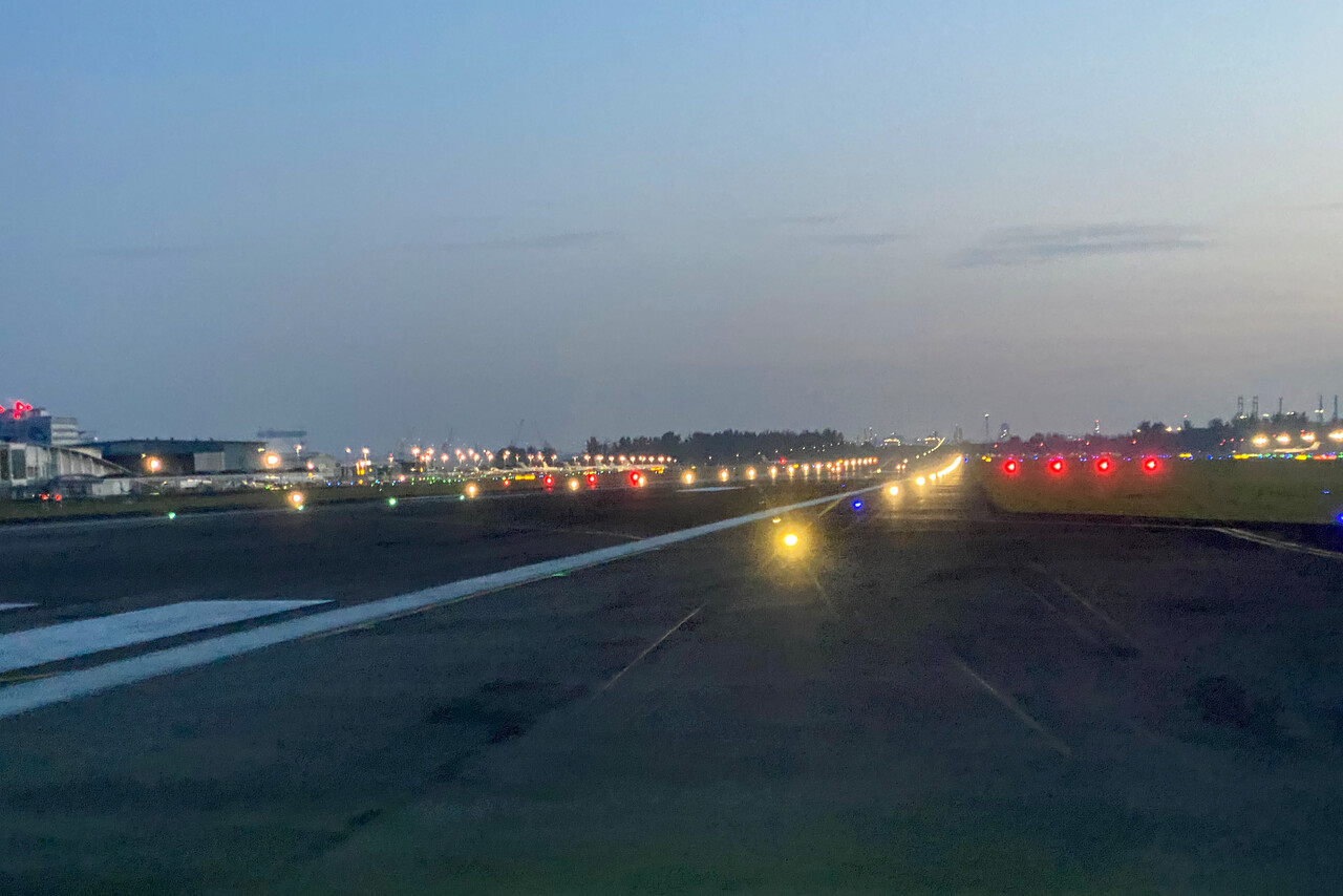
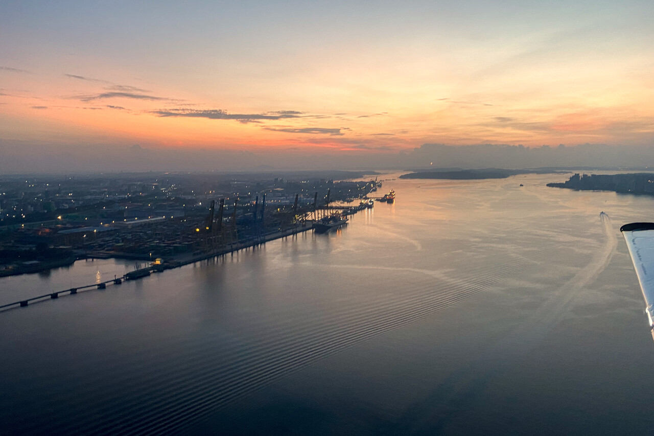
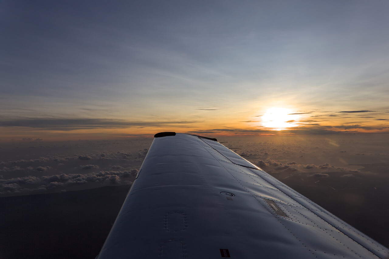
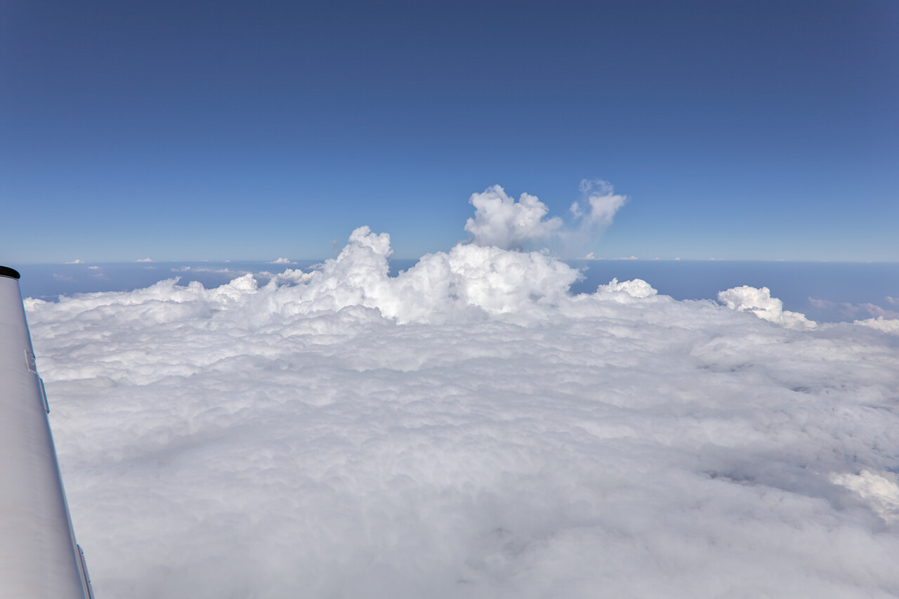
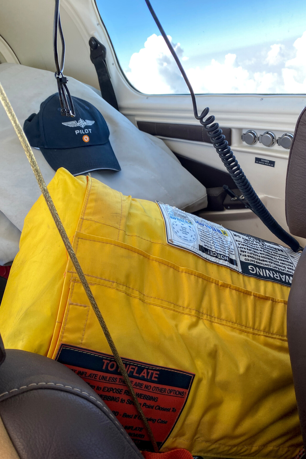
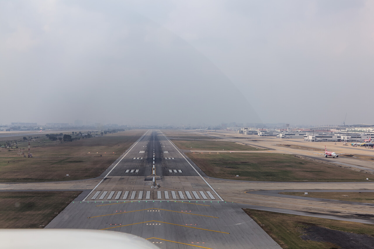
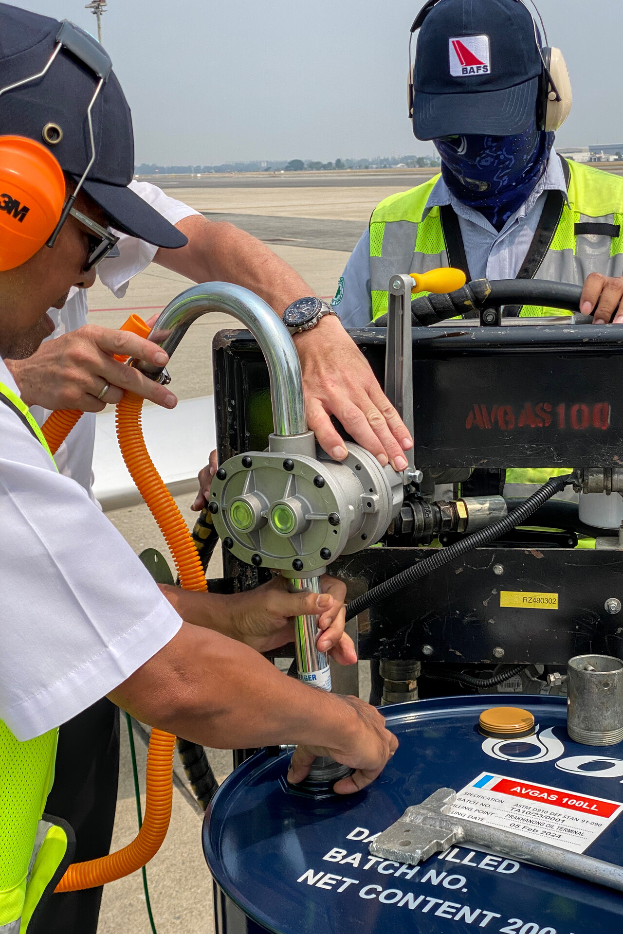
Actually we considered this phase of the journey rather as series of ferry flights, as we had visited all the places on the way down. However, our Thai pilot friend had offered to take us for a spin in his Columbia – an opportunity we couldn’t waste, of course.
It was very interesting to see how GA works in Thailand. Our friend’s aircraft is based in a hanger owned by the Thai Air Force on the – military only – eastern side of VTBD. A handful of other small GA planes, amongst them a Mooney, are based in this hangar. The owners have to pay a relatively high rent (extremely high for Thailand) but the service is excellent. Military personnel pulls the plane in and out of the hangar, we didn’t have to get our hands dirty. The soldiers saluted when when we taxied away – I felt a bit like Maverick 🤣.
Our friend took us down to the seaside town of Hua Hin, where we had an excellent Thai seafood lunch. The flight was short, only half an hour. The weather was nice and we had filed VFR but that doesn’t mean much. At least the departure and arrival at VTBD was de facto IFR. ATC vectored us and we had to fly the ILS procedure. Our friend told us that this is completely normal.
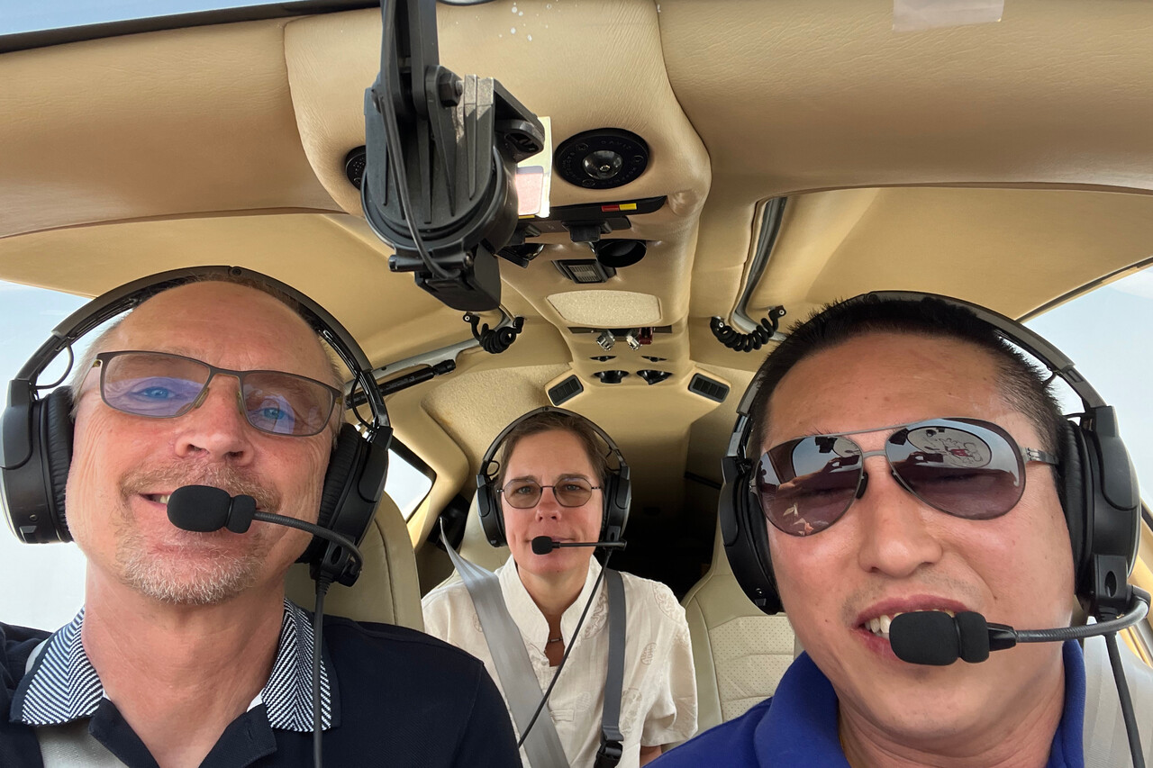
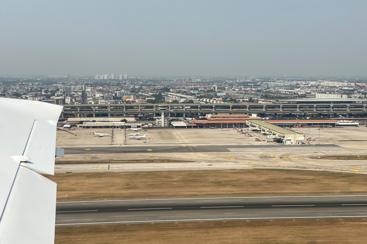
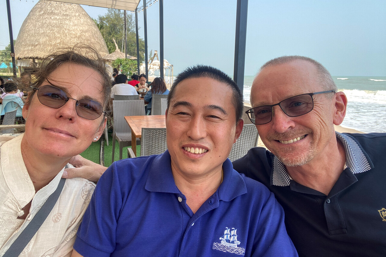
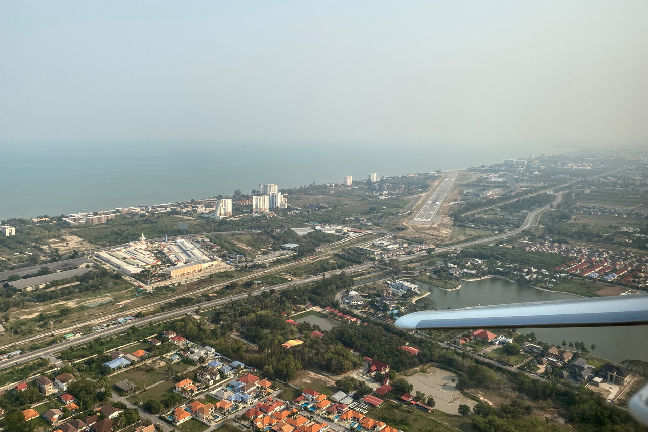
Bangkok, VTBD to Chittagong, VGEG
Terrible headwind was forecast for this flight, the higher the worse. We had to file FL160 to get the flight plan acknowledged and were quite happy that we could negotiate FL100 as cruising level in flight. Except for the headwind and quite hazy conditions the weather was nice.
Shortly after crossing into Myanmar our GTN750 reported a GPS failure. The status page showed only three satellites and only a few moments later they vanished as well, one after the other. We had a brief GPS outage in this area on the way down as well, so we weren’t too worried. However, this time it lasted really long. Moreover, our tablets were working fine. We flew all over Myanmar and the GPS only came back shortly before reaching the border to Bangladesh. As the satellites disappeared one after the other and Galileo and/or GLONASS apparently kept working I guess it wasn’t jamming but a deliberate removal of service.
Refueling at VGEG was prompt, like on the way down, but once again there was a problem with the local fuel pump. This time it leaked badly but no problem, ours was now proven to work fine.
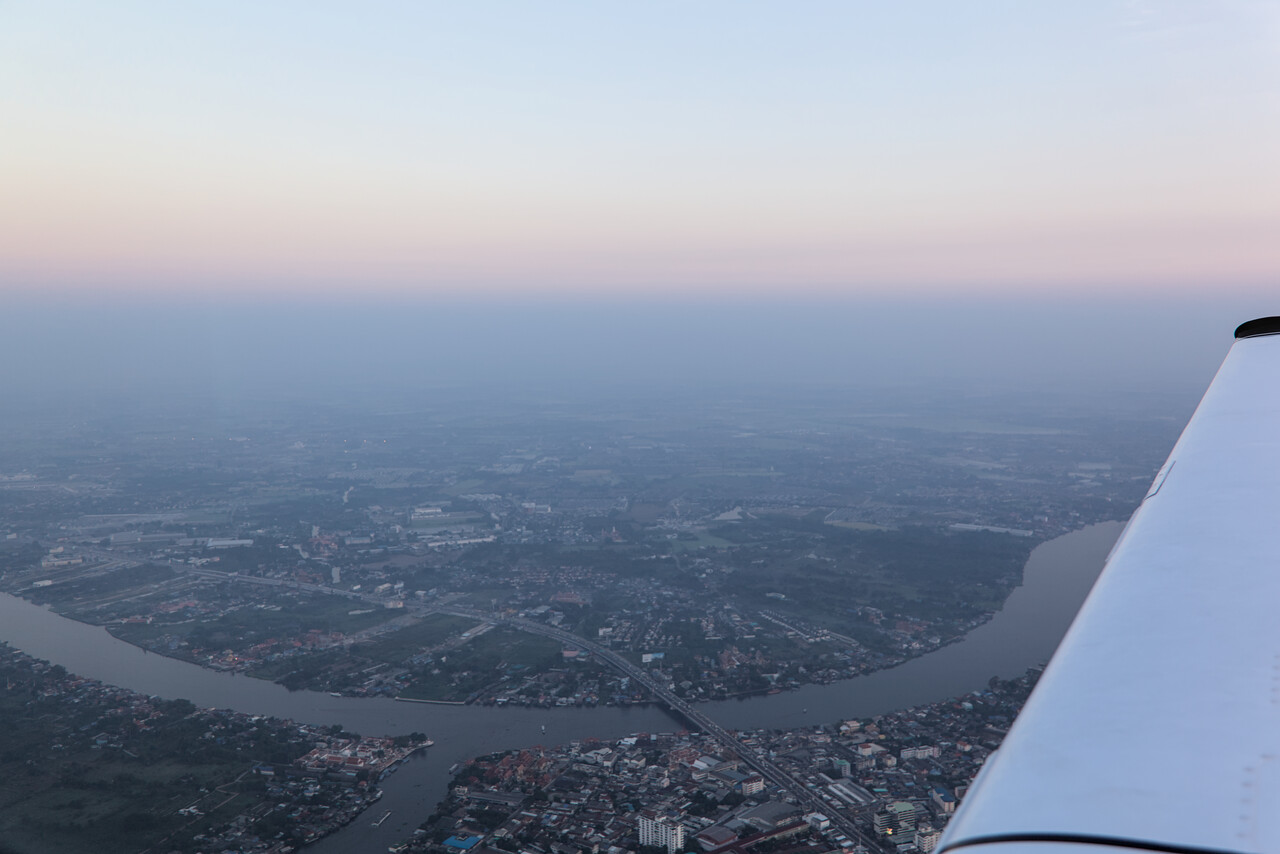
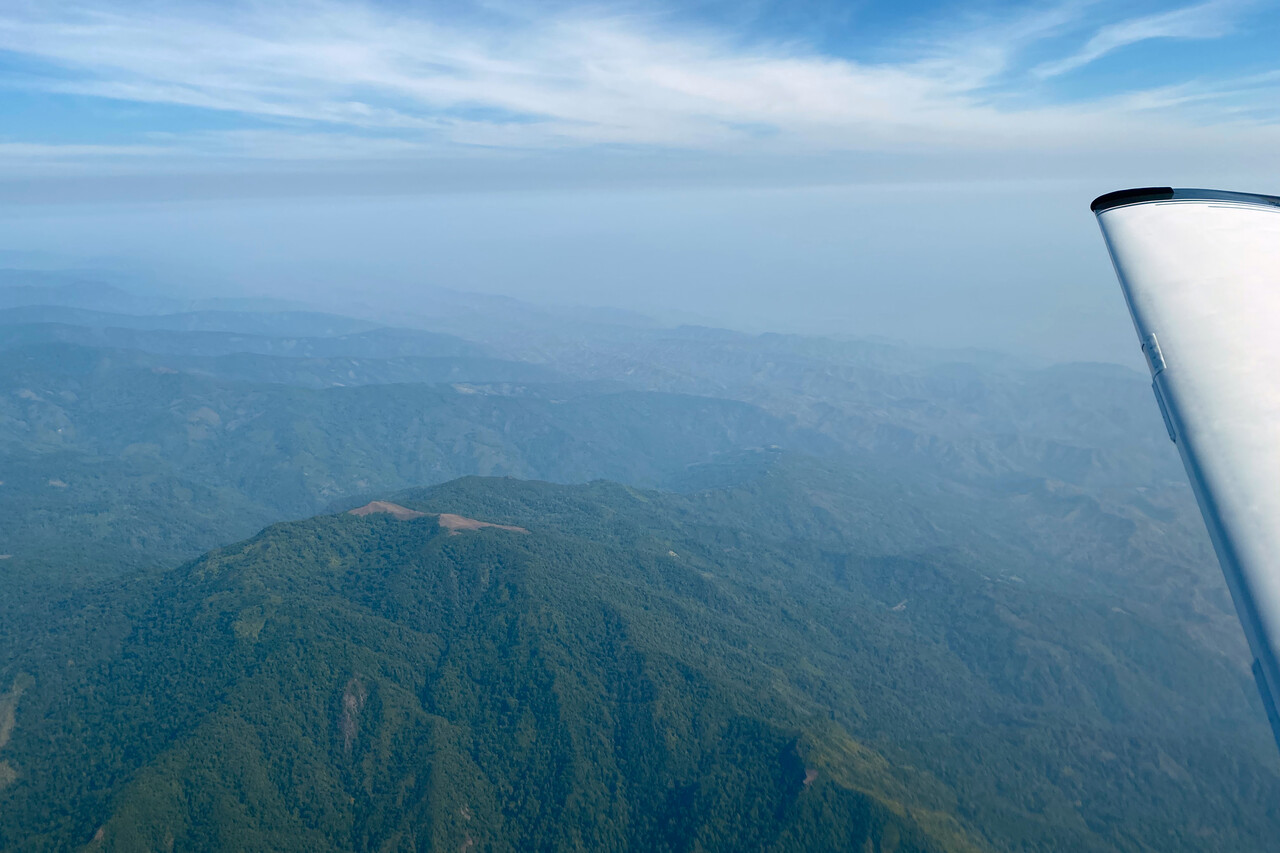
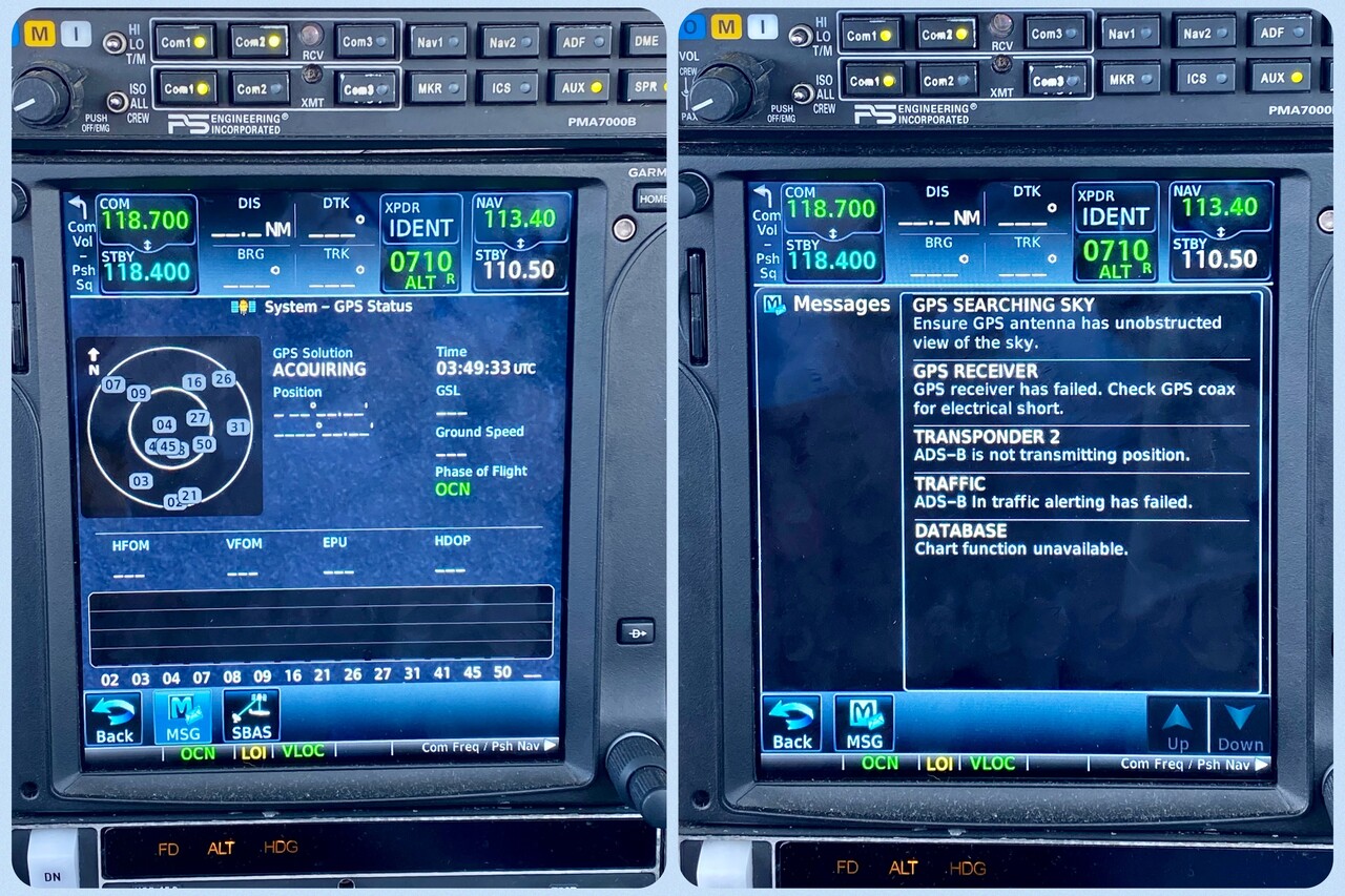
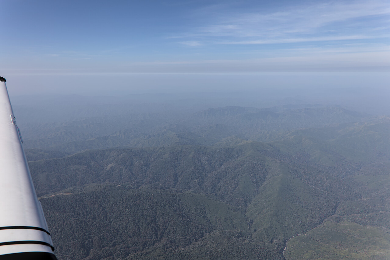
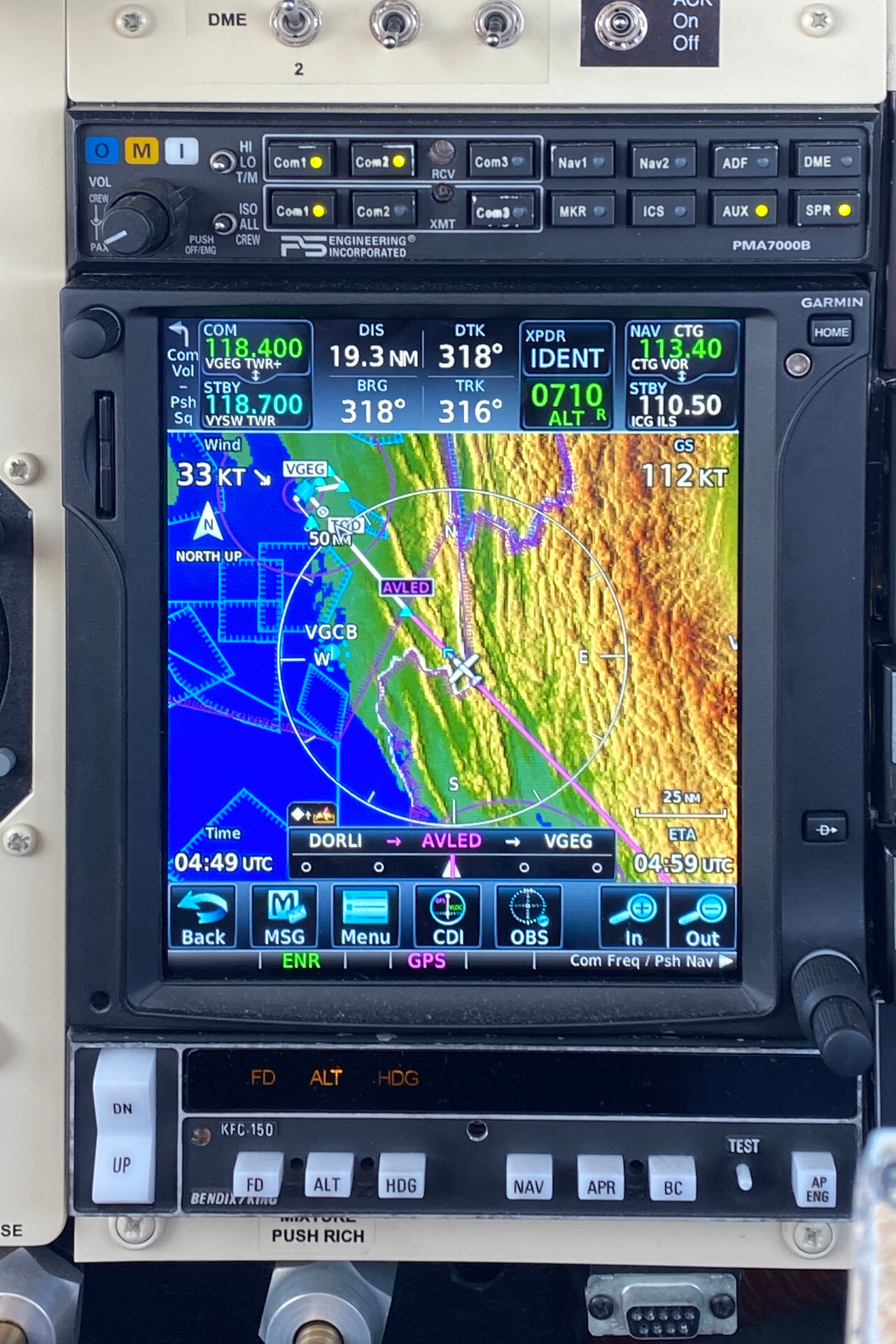
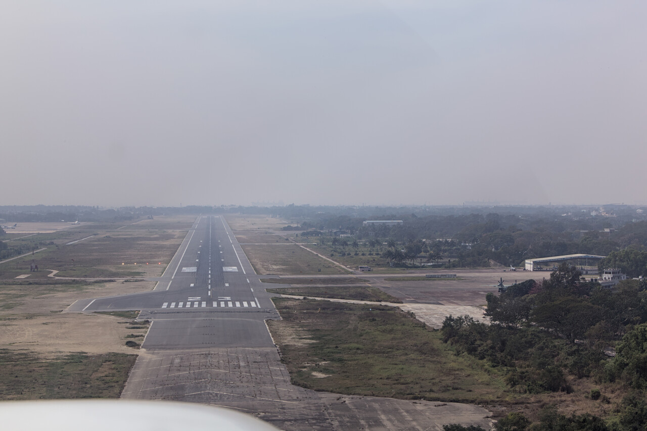
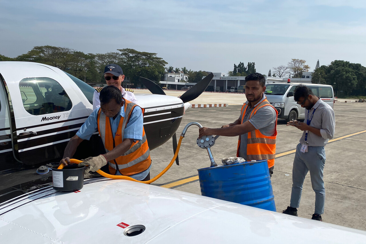
Chittagong, VGEG to Nagpur, VANP
Except for the headwind the leg to Nagpur was completely uneventful. Of course we can achieve a better TAS when we fly higher, at least up to FL200 (higher we don’t gain much with normal power settings). However, on all the legs from Thailand to Egypt the headwind increased much more with altitude than our TAS, so we tried to stay as low as possible. On this flight ATC let us fly at FL100 but still it took us 6:15 to reach our destination. We had to fly very economically once again to get along with the single drum we had arranged in VANP. It was a very hazy day, probably due to air pollution and at FL100 we weren’t out of the murk. All leading edges looked quite interesting after landing.
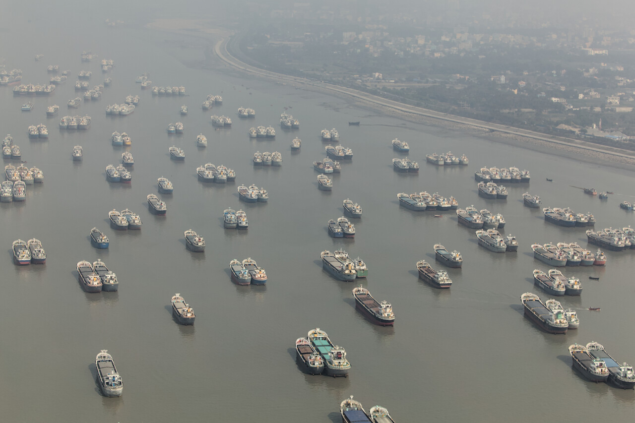
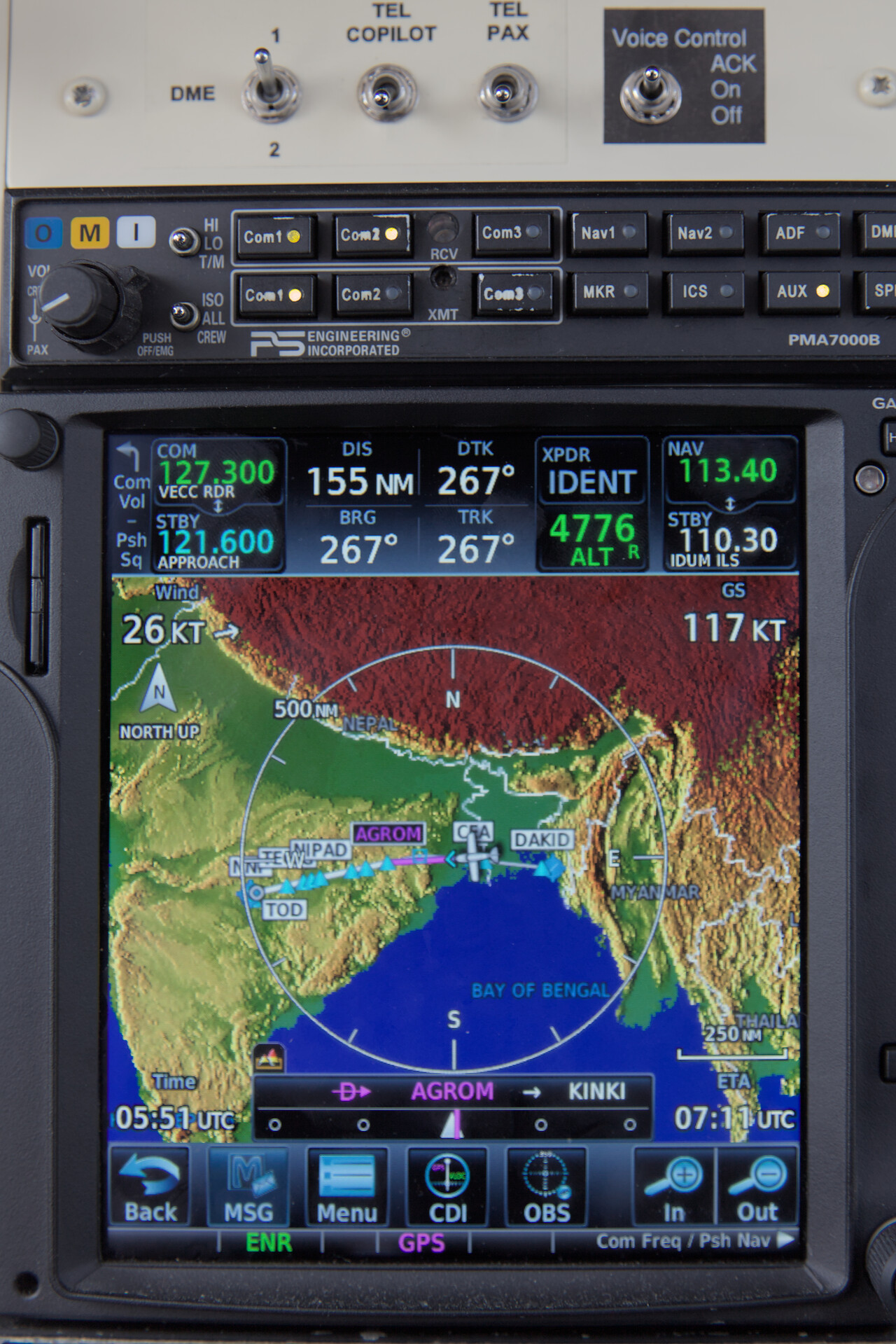
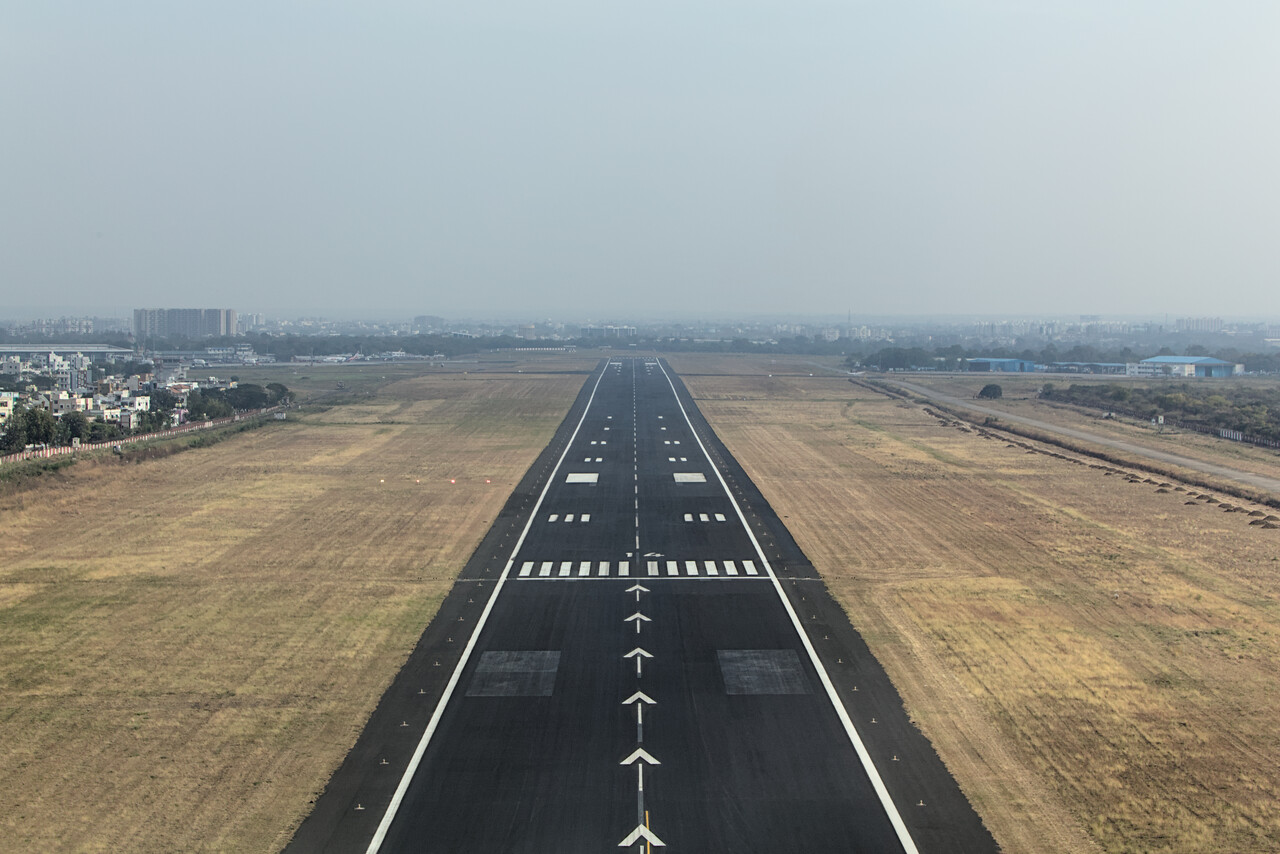
Nagpur, VANP to Ahmedabad, VAAH
For reasons only known to them, Pakistan doesn’t allow GA traffic from India to land in the country – overflight is acceptable, though. Therefore we landed at the westernmost airport in India where we could get Avgas and leave the country: Ahmedabad. It was very hazy again, even more than the day before, so there was almost nothing to see during the flight.
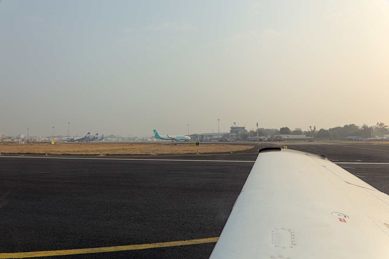
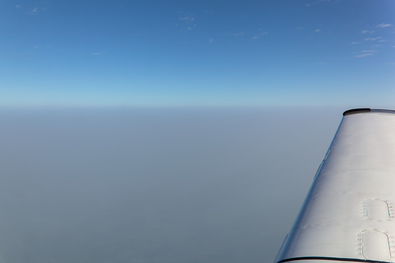
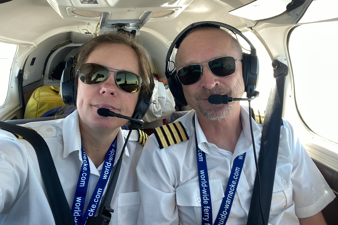
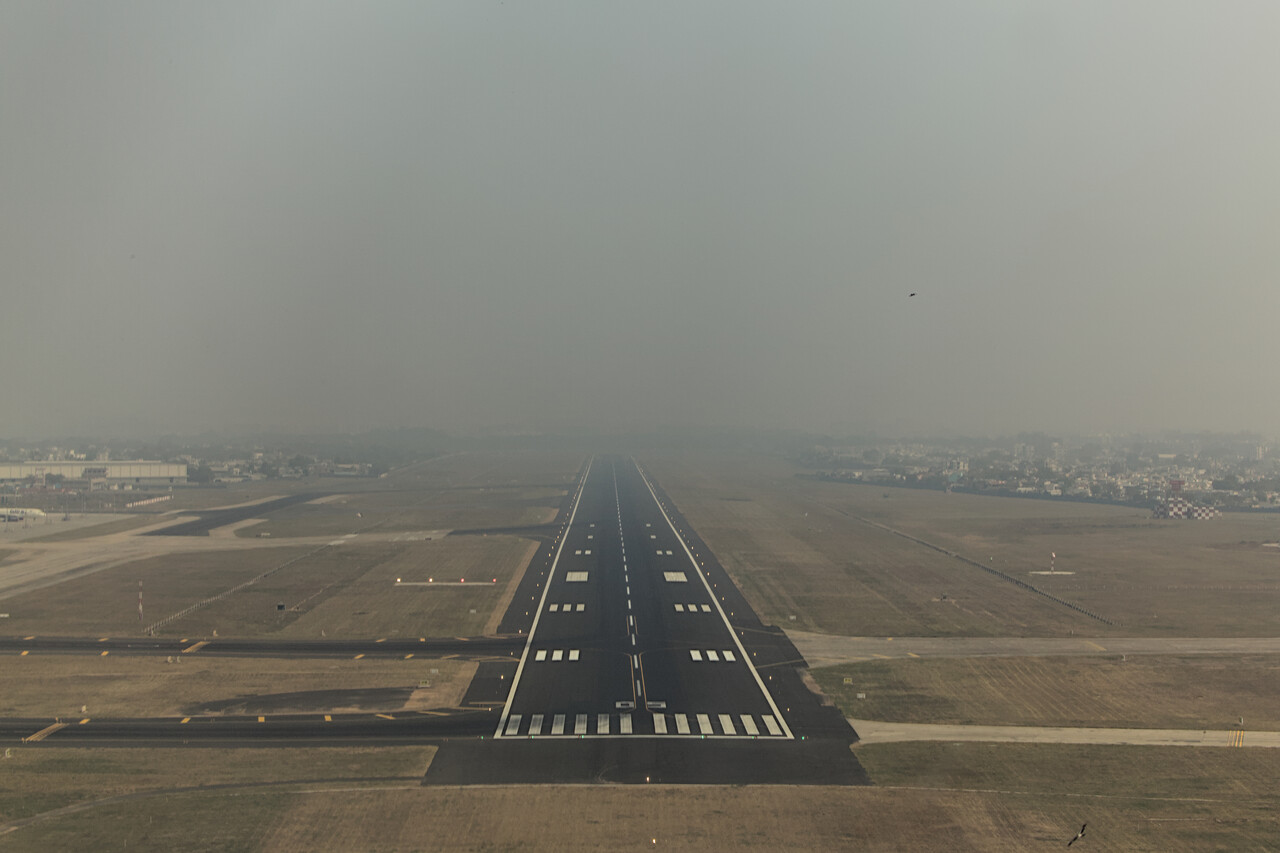
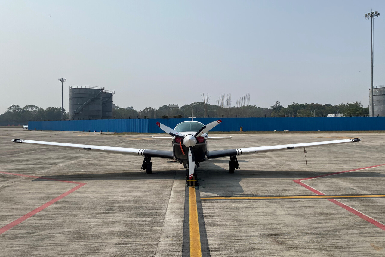
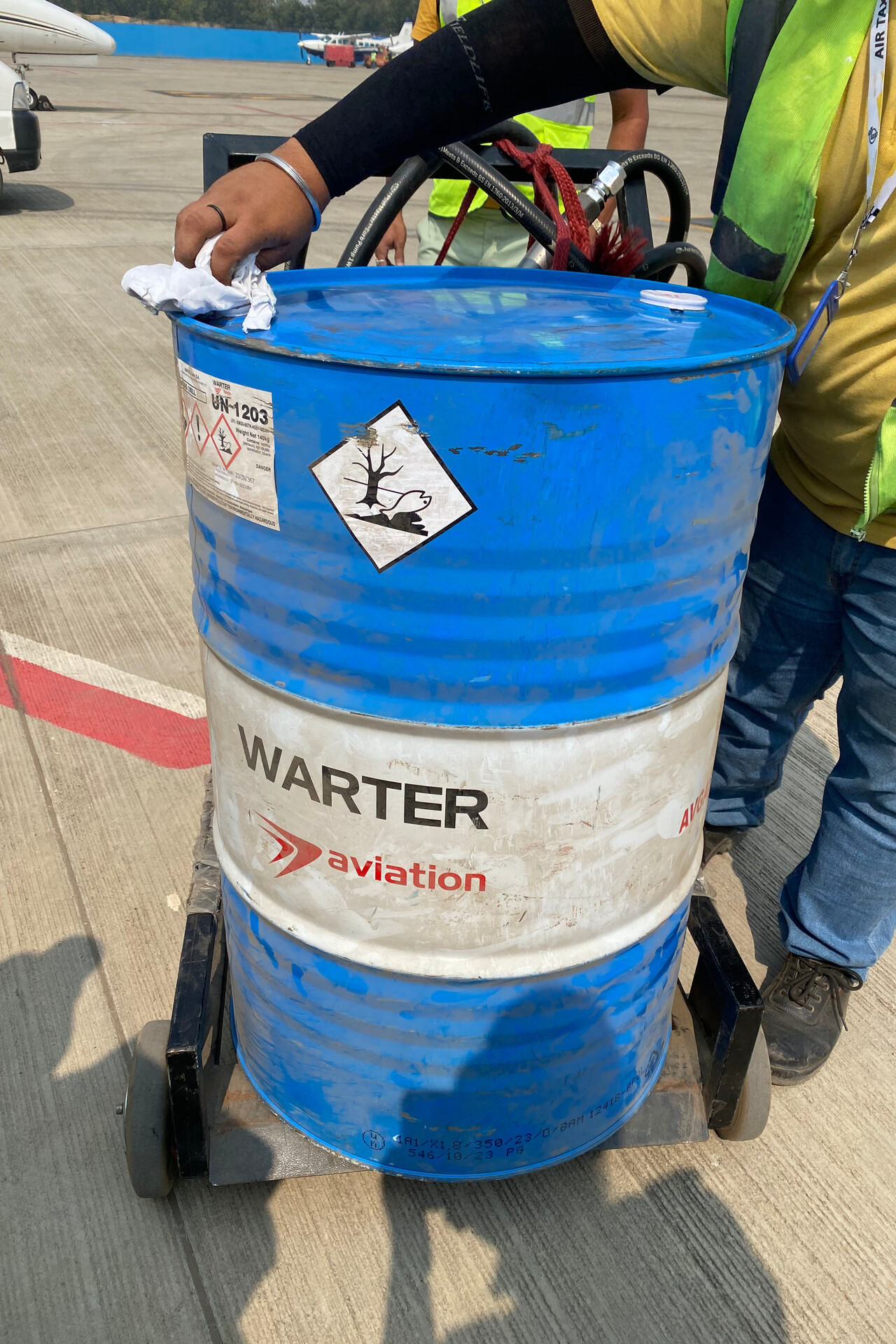
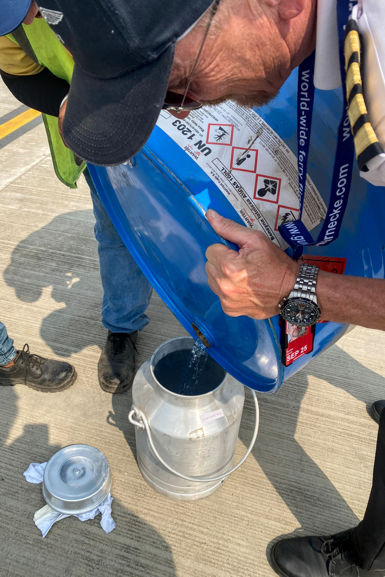
Ahmedabad
We hadn’t been to Ahmedabad before, so we stayed for two nights to have a day to see the city. We checked in at what is supposed to be the best hotel in town and after getting rid of our funny shirts, we explored the premises. There wasn’t much to be found, so we asked at the reception where the hotel’s bar would be, to have our ALB. There was no bar, we were told, Gujarat, where Ahmedabad is located, was a dry state! However, we learned that there was a liquor store in the hotel. OK we thought, we’ll buy a beer there but it wasn’t that easy. The receptionist had to print out a document certifying that we were hotel guests. With this document we entered the bottle shop and asked for our beer. We still couldn’t get it though as the certificate was only the first step. It had to registered with the Gujarati government via an online process! Getting our ALB took almost as long as the flight 🤣.
The next day we explored the city. It turned out to be a typical Indian metropolis, one of the more interesting examples, though. It was noisy and chaotic, but we found quite a few nice markets, temples and mosques to visit.
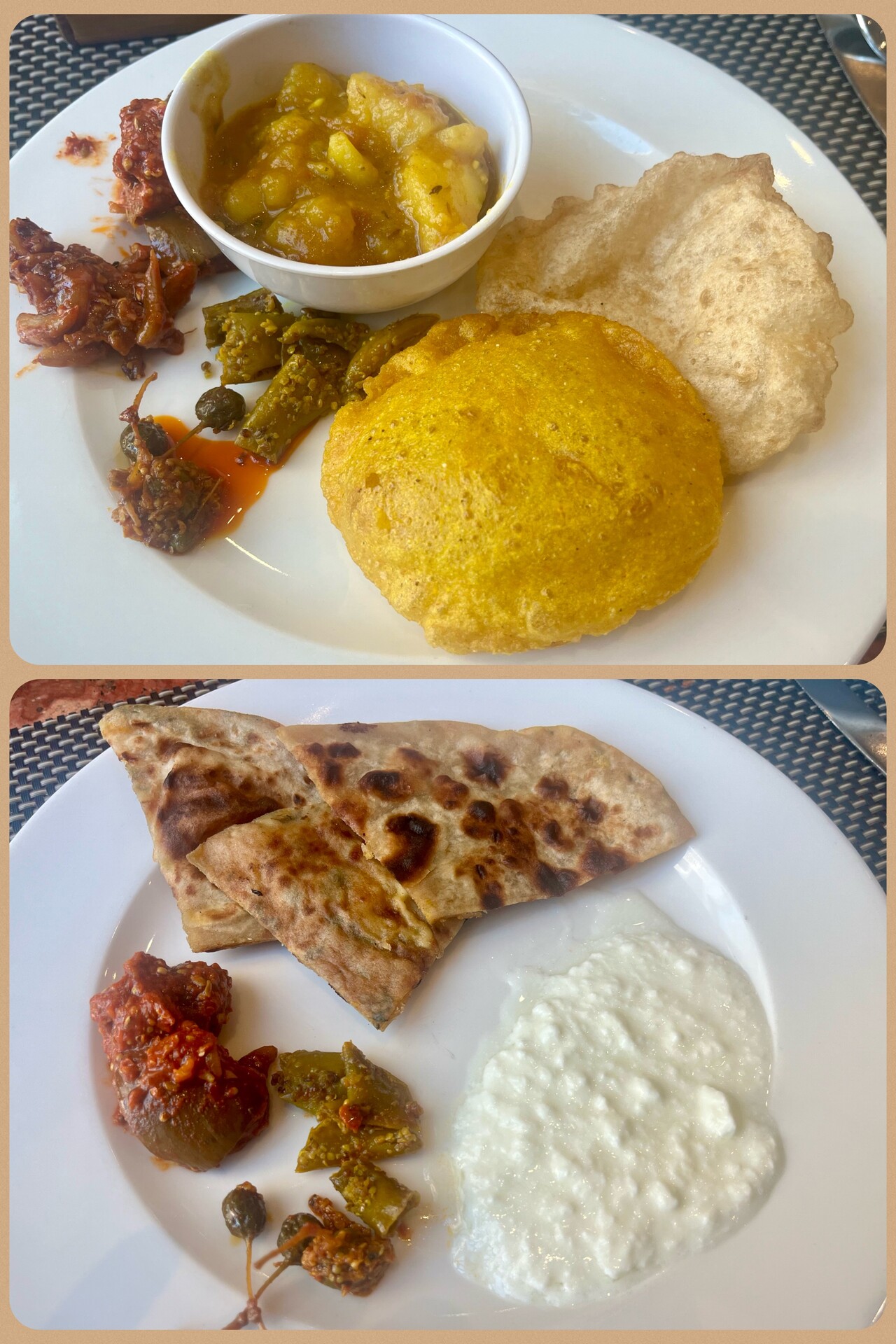
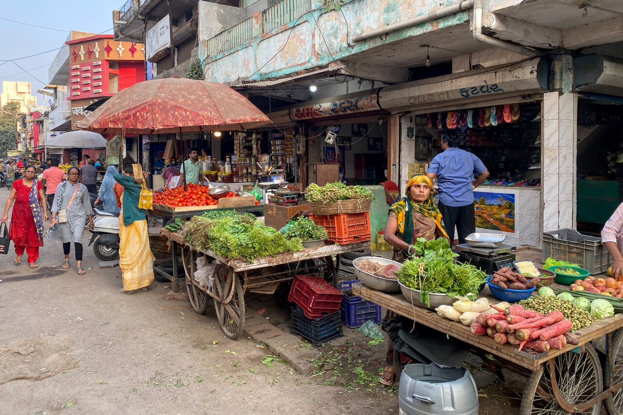
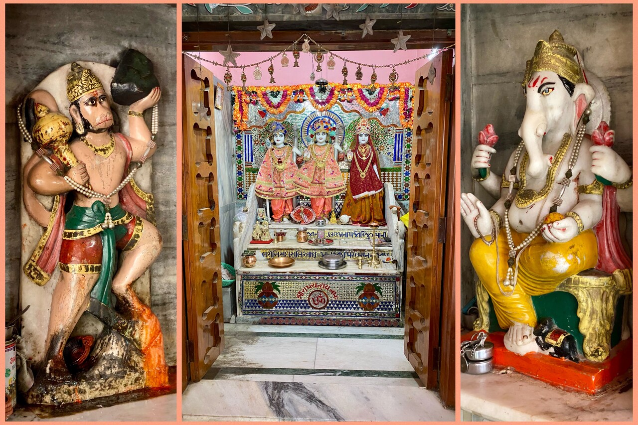
Ahmedabad, VAAH to Al Ain, OMAL
At 1033 planned miles this was the longest leg of the journey and due to the headwind the longest flight we ever had with our Mooney: seven hours and thirty-nine minutes. We had to fly almost exactly the filed route due to the lack of radar coverage but at least we were allowed to cruise at FL100. Including the approach and departure we did 1042 track miles. Besides being really really long, the flight was uneventful. Moreover, the haze cleared a bit over Pakistan so we could enjoy the landscape beneath us.
As at all the places after Singapore, fuel was available in drums only at OMAL. A drum is 200 liters while we can get 400 liters into the tanks of our plane. We had ordered two drums in Bangkok where we arrived relatively empty. With two additional jerry cans with 20 liters each we didn’t waste too much fuel there and it didn’t hurt that much as it was the cheapest fuel of the journey. At all the other stops in between one drum was sufficient. At OMAL we had to buy two drums again and despite the jerry cans we had to waste 50 liters – not nice when a liter is four dollars!
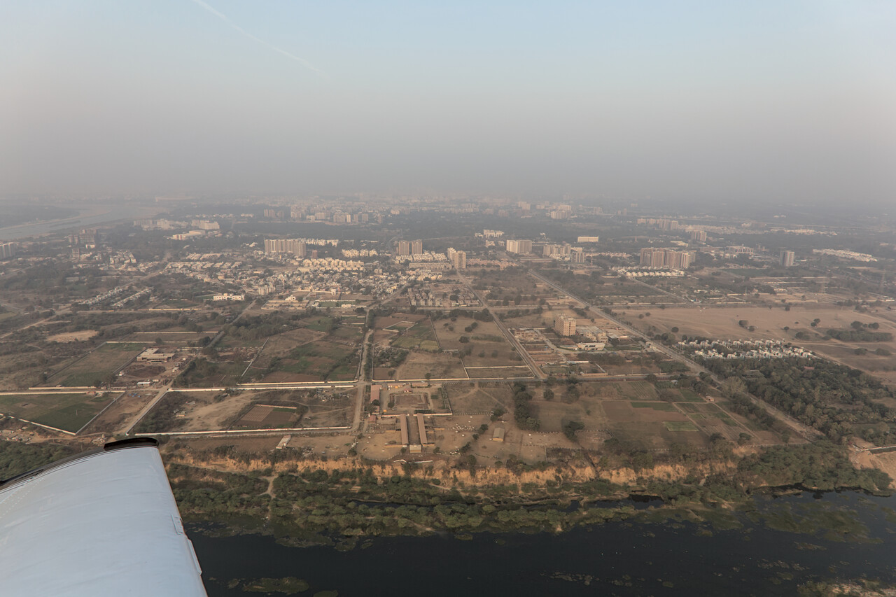
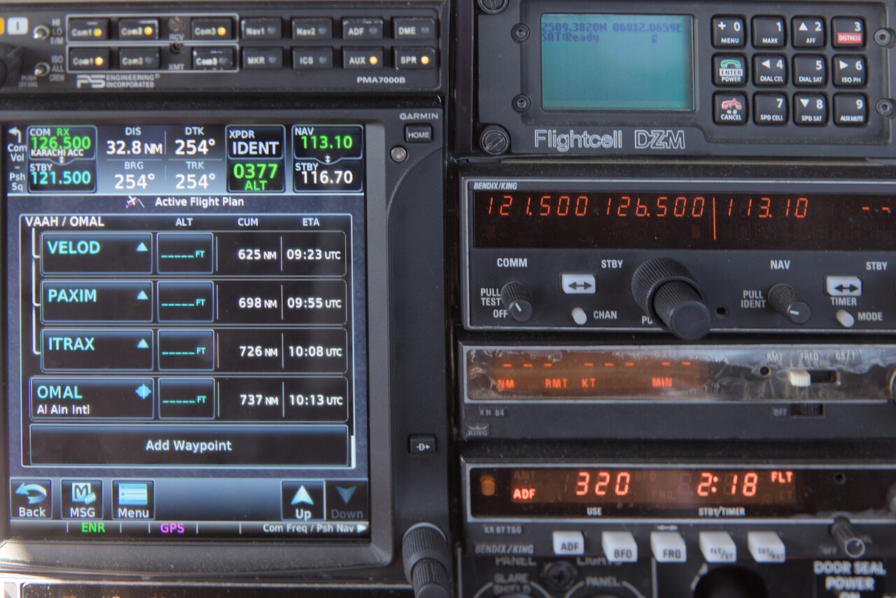
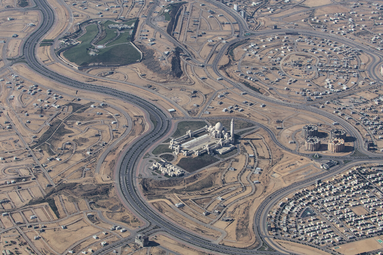
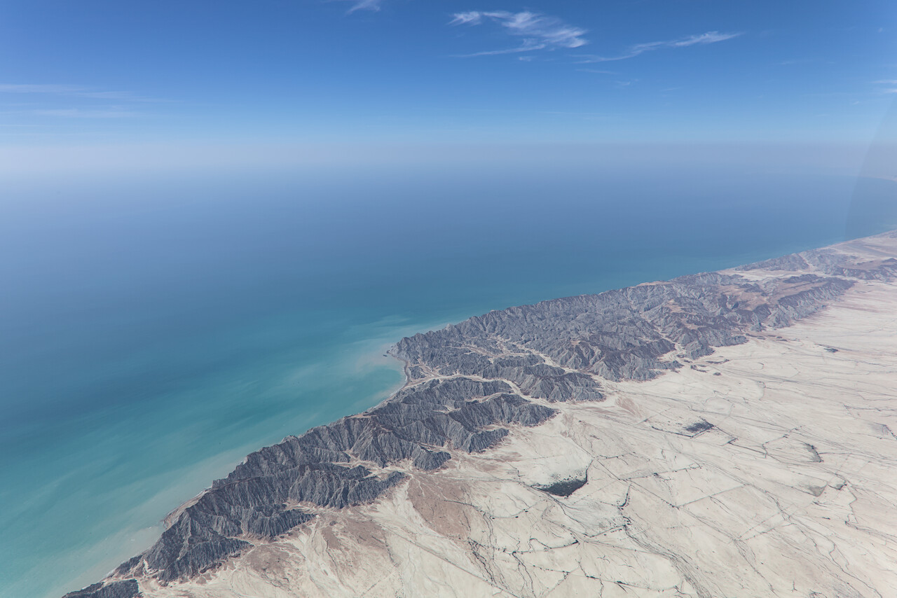
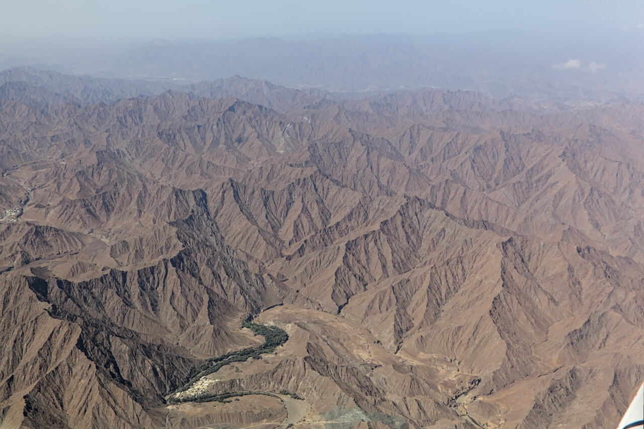
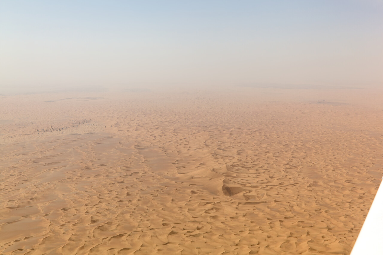
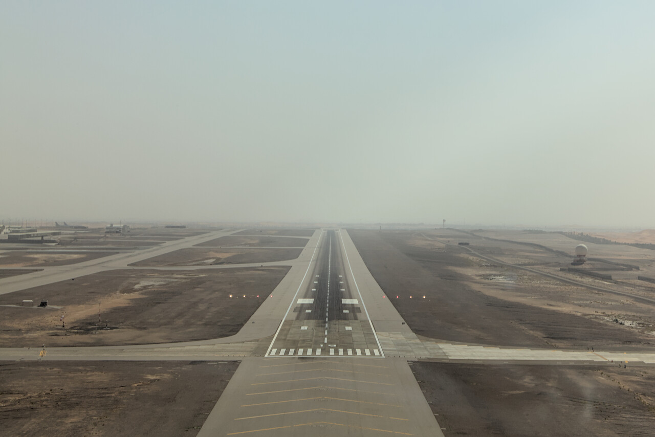
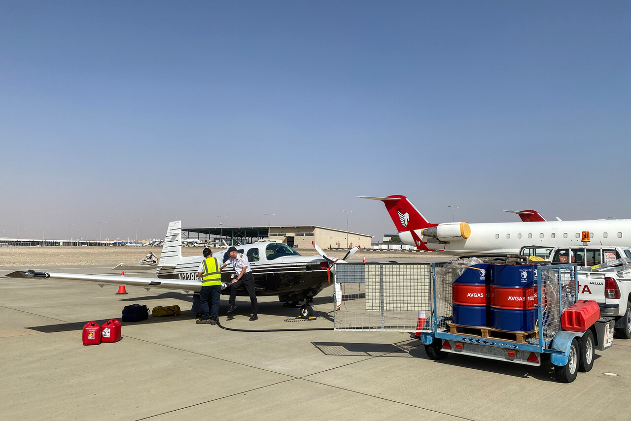
Al Ain
Al Ain was already our preferred stop on the way down, but we couldn’t get permission back then. Therefore it was the first time for us to land there and so we had planned for a two night stop. However, there is not too much to see and do there.
There is a nicely restored fort but our handling agent had told us “if you have booked a table for dinner at seven and start visiting the fort at six you’ll have plenty of time” 🤣. What was really nice to see was the Al Ain Oasis, a huge plantation of palm trees in the desert. A fantastic opportunity for an extended stroll.
Interestingly, a hailstorm had passed through the area only three days before our arrival. Many cars had been damaged, so we were told. It was the first event like this in 17 years.
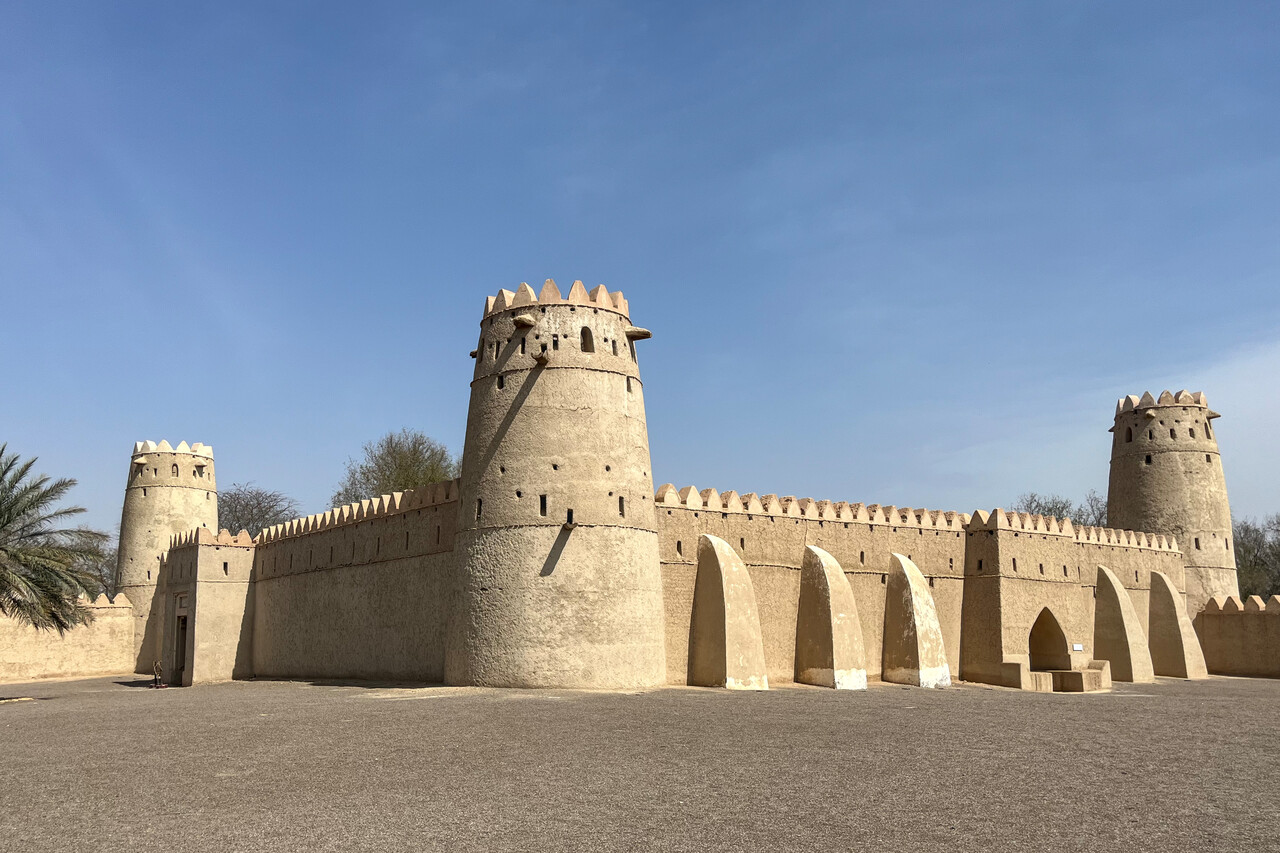
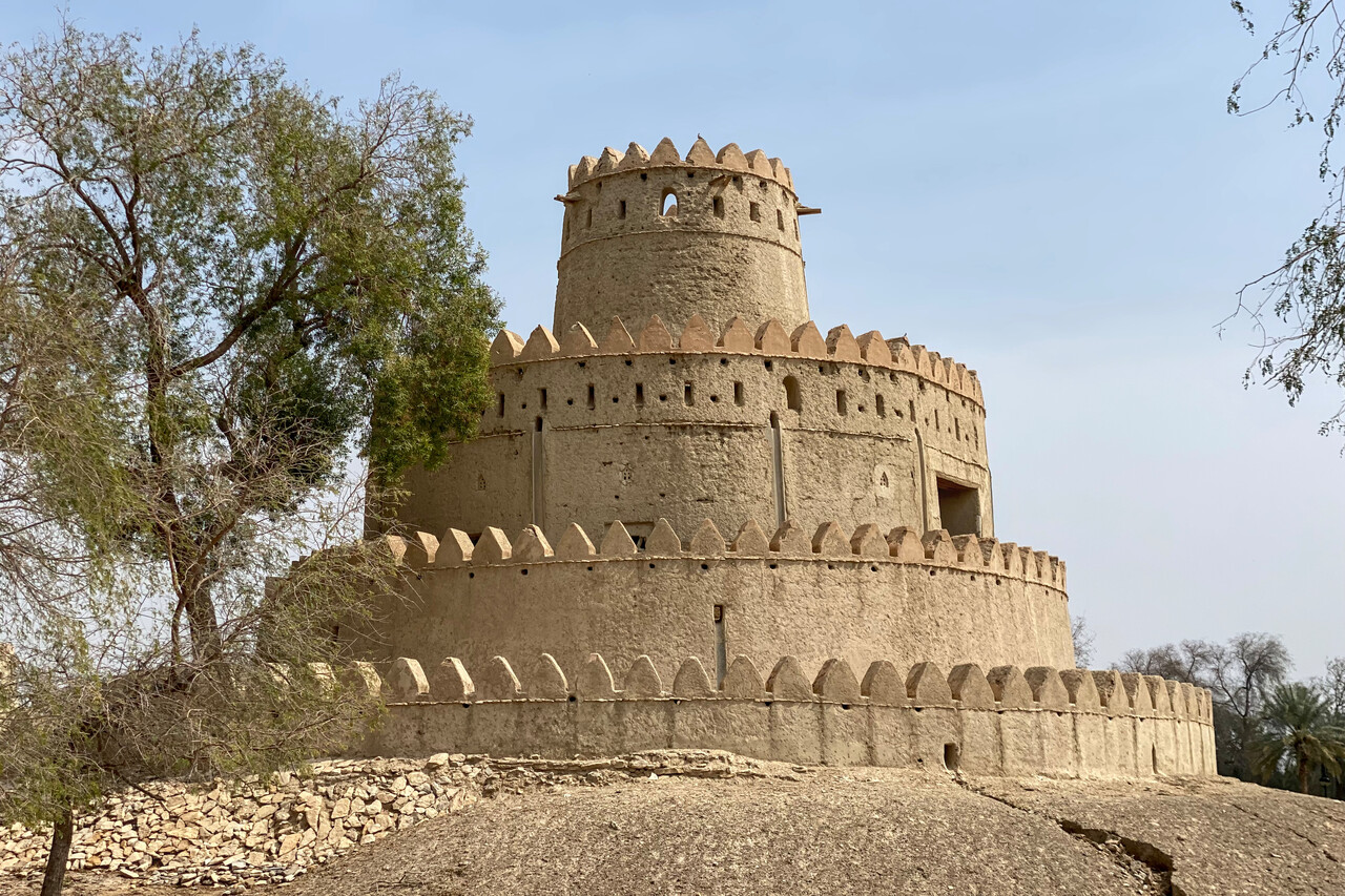
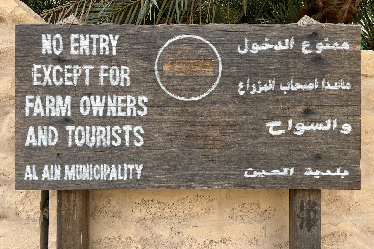
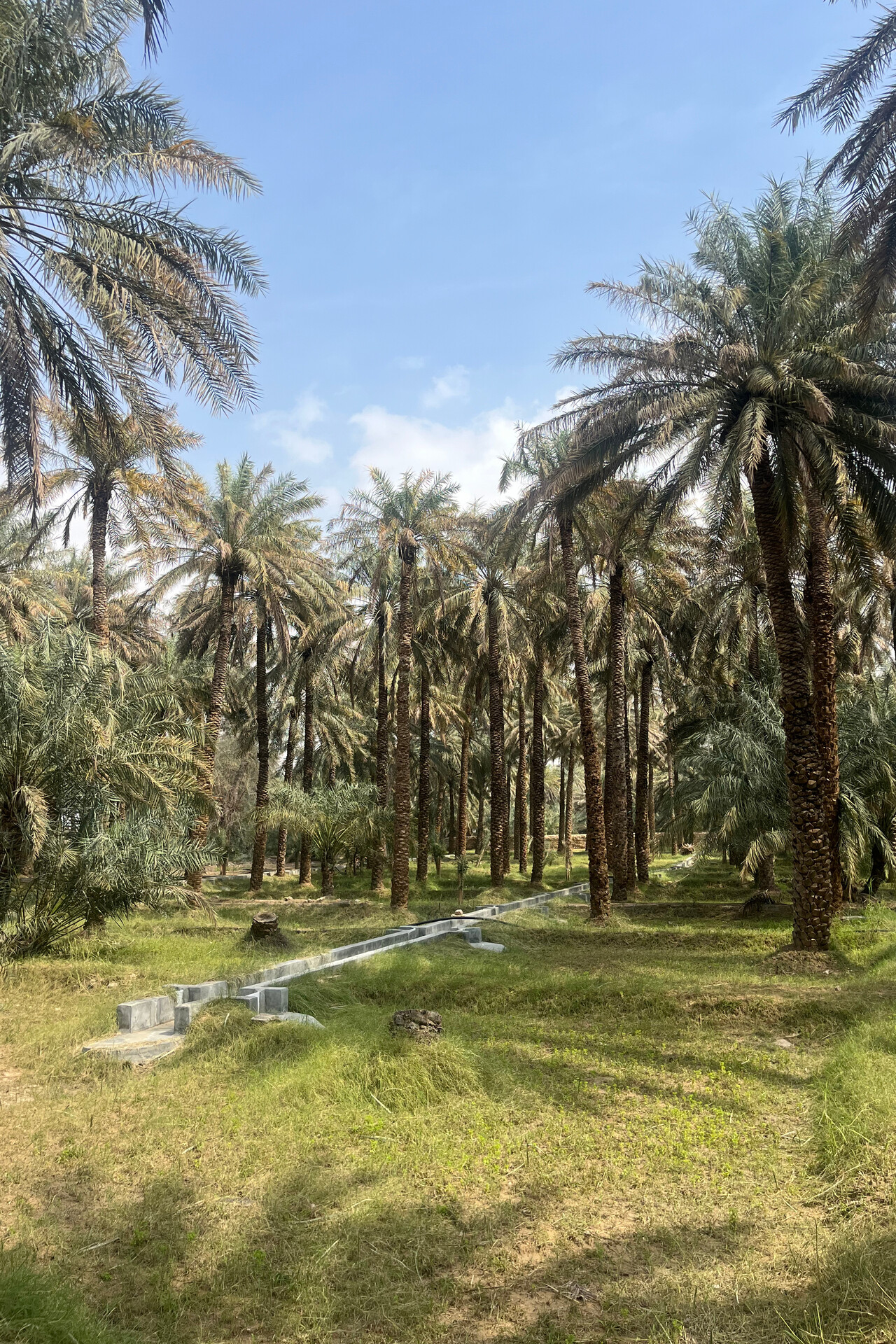
Al Ain, OMAL to Kuwait, OKKK
Our handler had filed the flight plan we had provided the day before our departure to Kuwait and we had received the ack message. However, in the morning it was suspended due to a blocked airway in Qatar. It took a while to find a new suitable route and in the beginning they wanted us at FL240 but eventually we found an acceptable way around Qatar at FL080. We finally departed an hour later than planned.
The flight was a fight against a terrible headwind once again and in the beginning ATC didn’t seem to be too happy with our route. However, after a bit of back and forth, we could agree on a route everybody was fine with and the remainder of the flight was uneventful.
At OKKK we had to refuel from a drum for the last time and once again the electric pump of the fuel company failed. We were happy to have our fuel pump with us, of course.
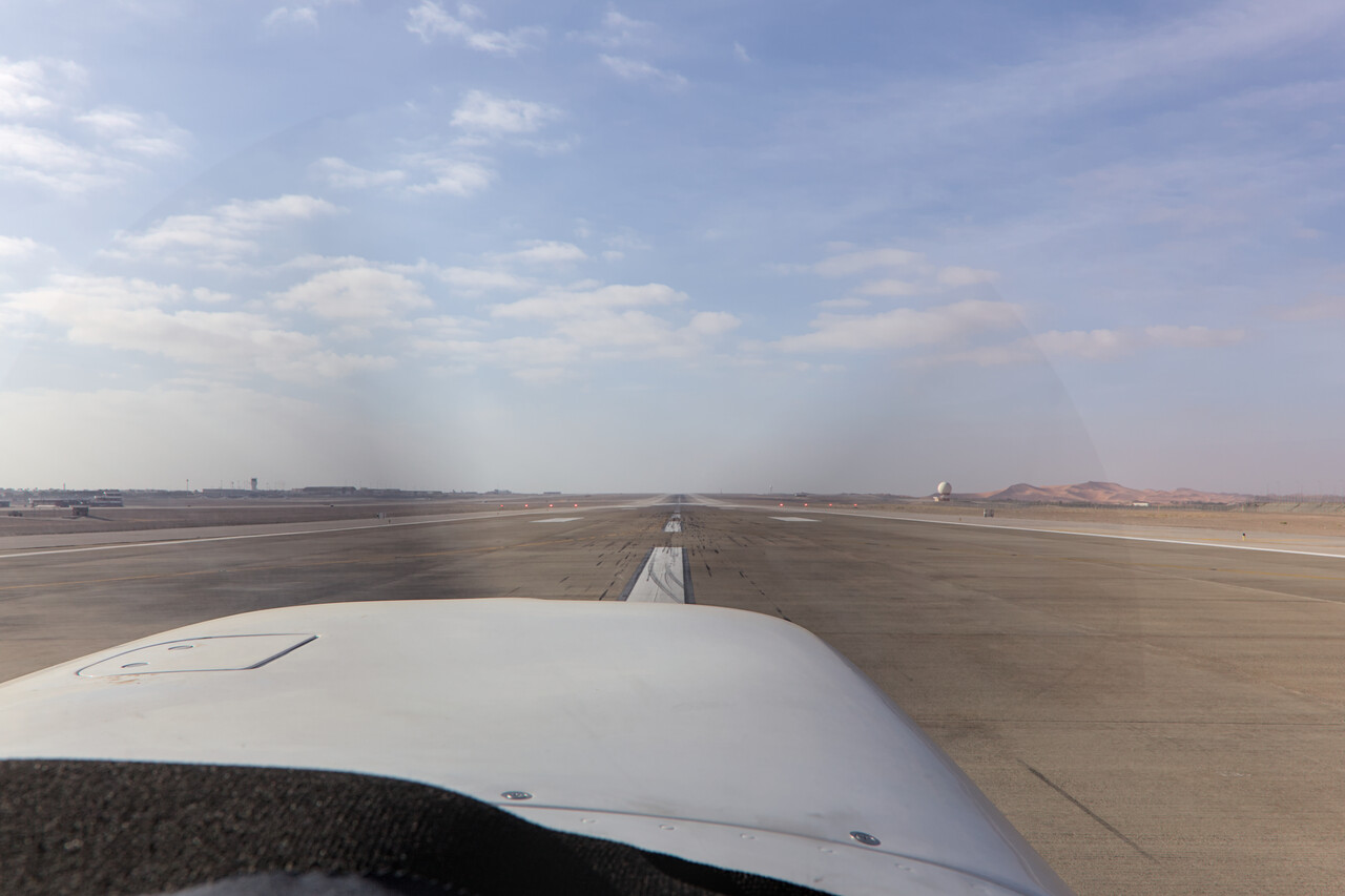
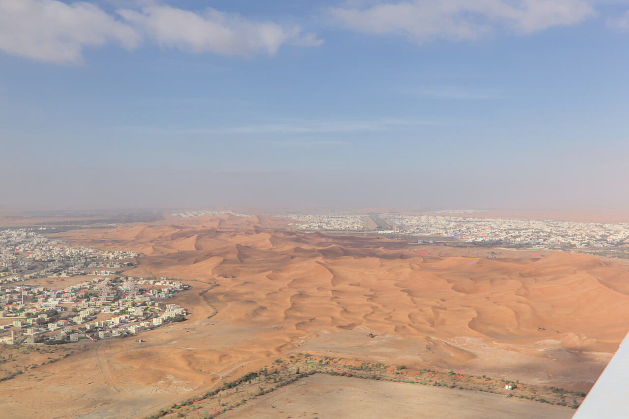
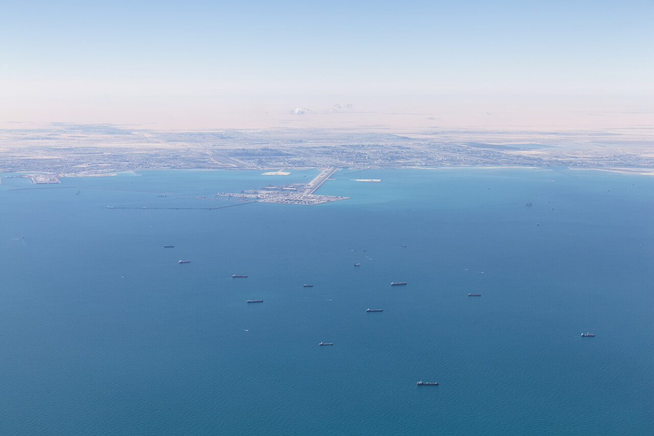
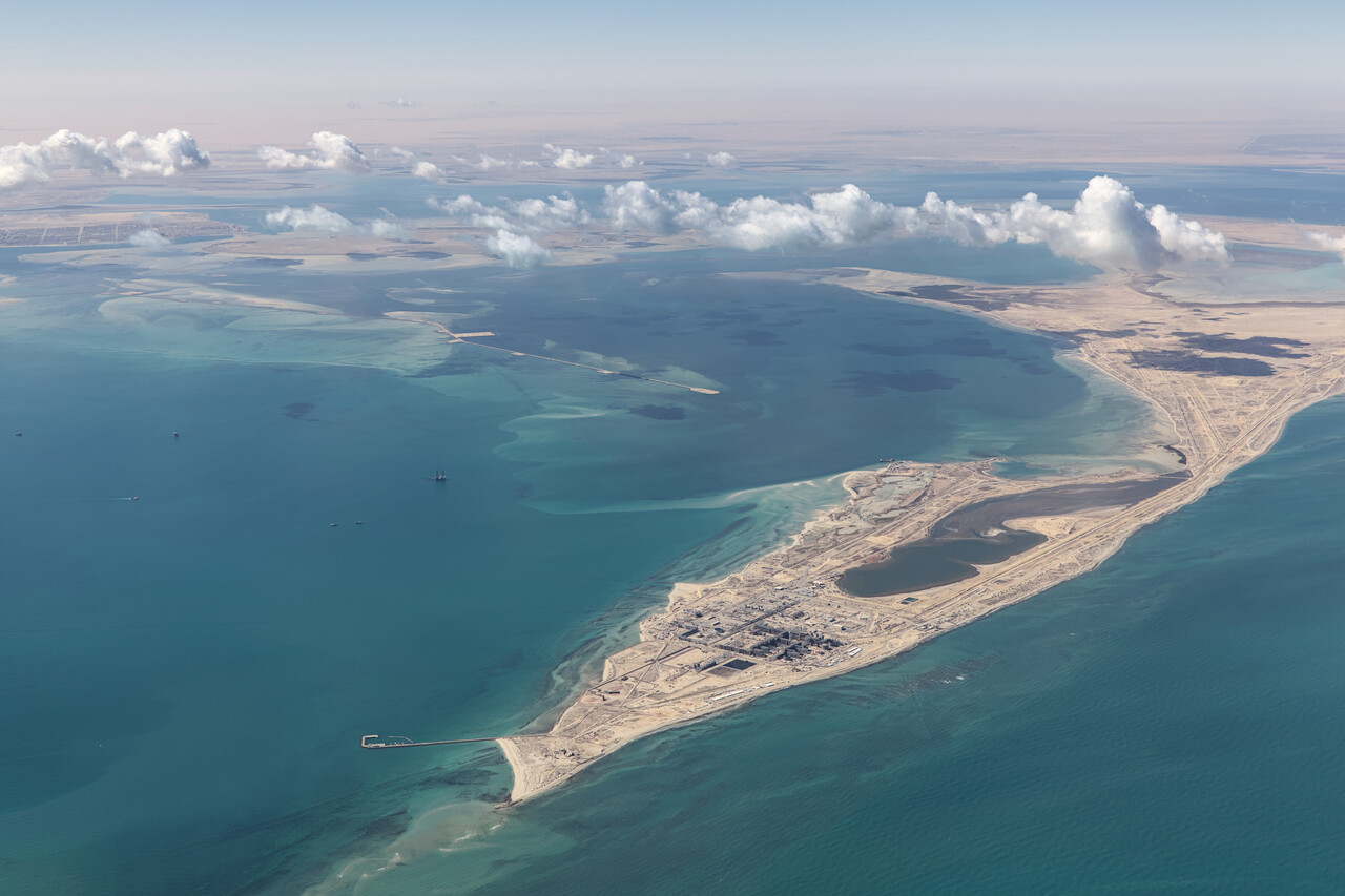
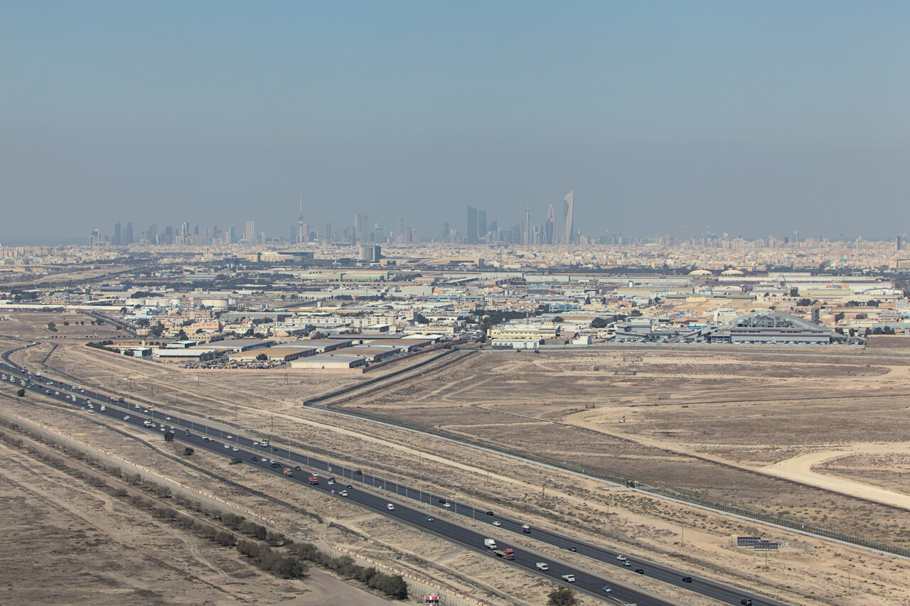
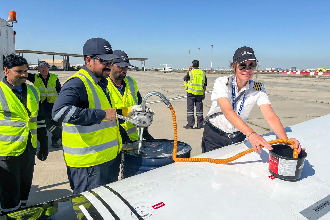
Kuwait, OKKK to Hurghada, HEGN
We had a quite poor experience with the Kuwaiti handling agent on the way down, and they didn’t do any better when we wanted to depart for Egypt. Like the day before, our flight plan was suspended but unlike in Al Ain, the agent in Kuwait was completely useless in getting the issue fixed. It took forever and countless radio and phone calls to ATC till we finally had a flight plan in their system.
The flight was a battle against the wind at FL080 once agin. It took six hours and twenty minutes but the scenery was really spectacular. Our route took us all across Saudi Arabia and we were fascinated how much emptiness there was. We flew for hours without seeing any traces of human activity below us. There was just desert, slowly changing its appearance. The flight was a very enjoyable final leg of this ferry phase of our journey.
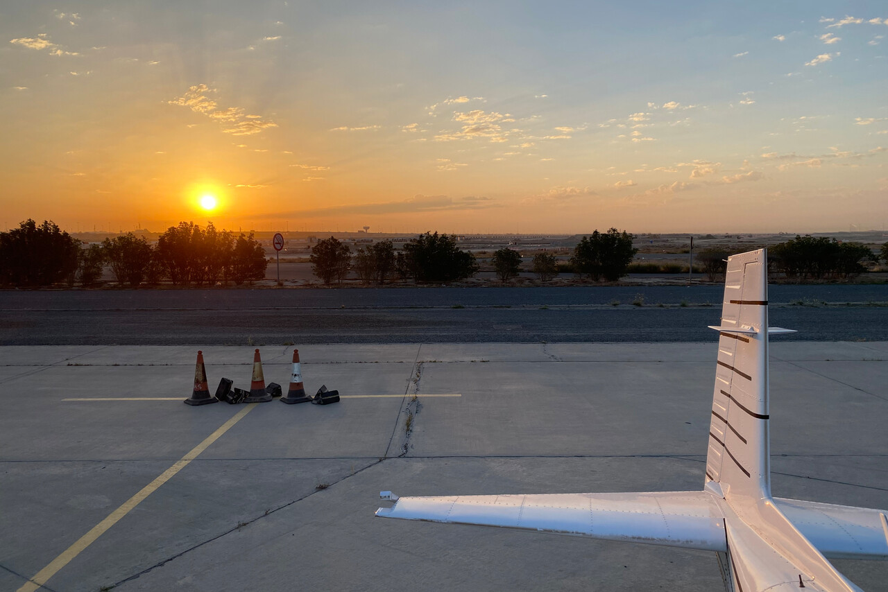
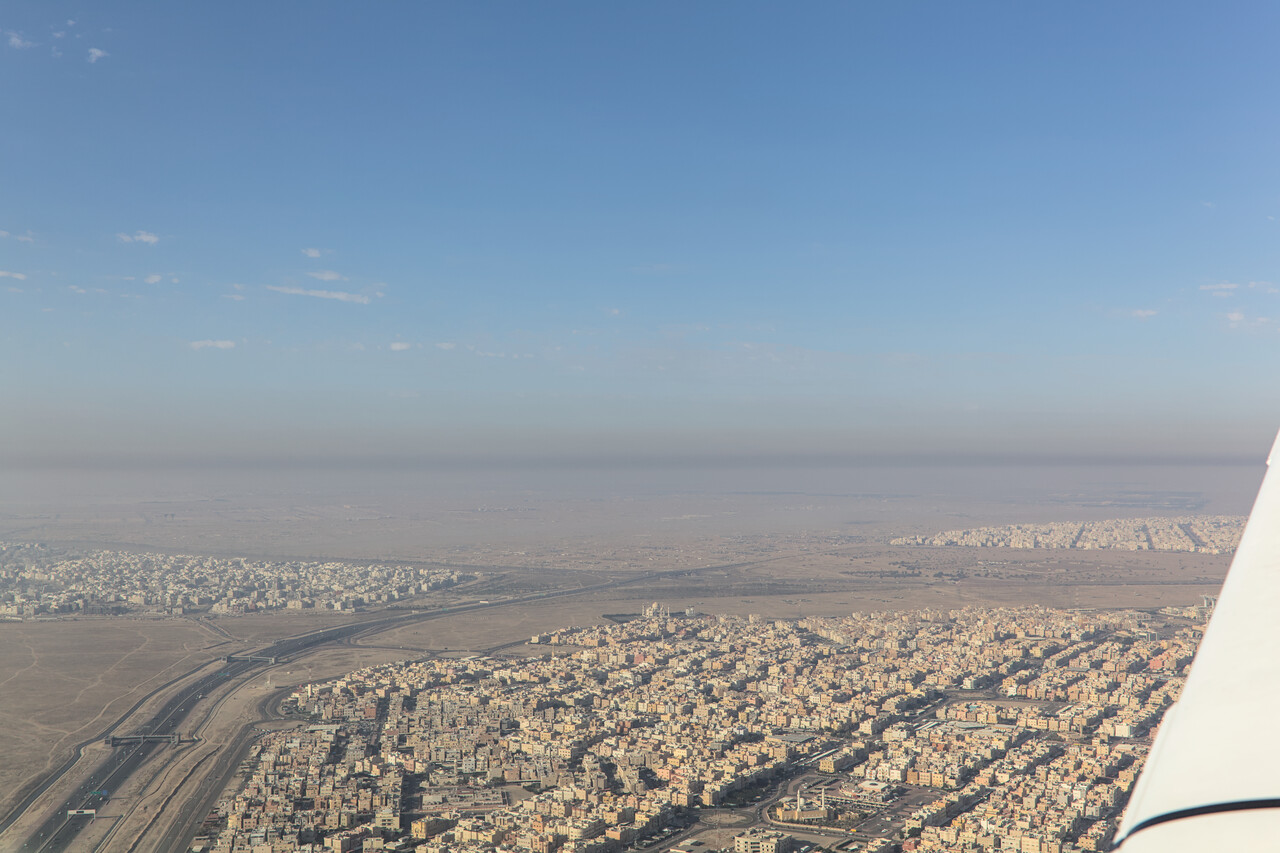
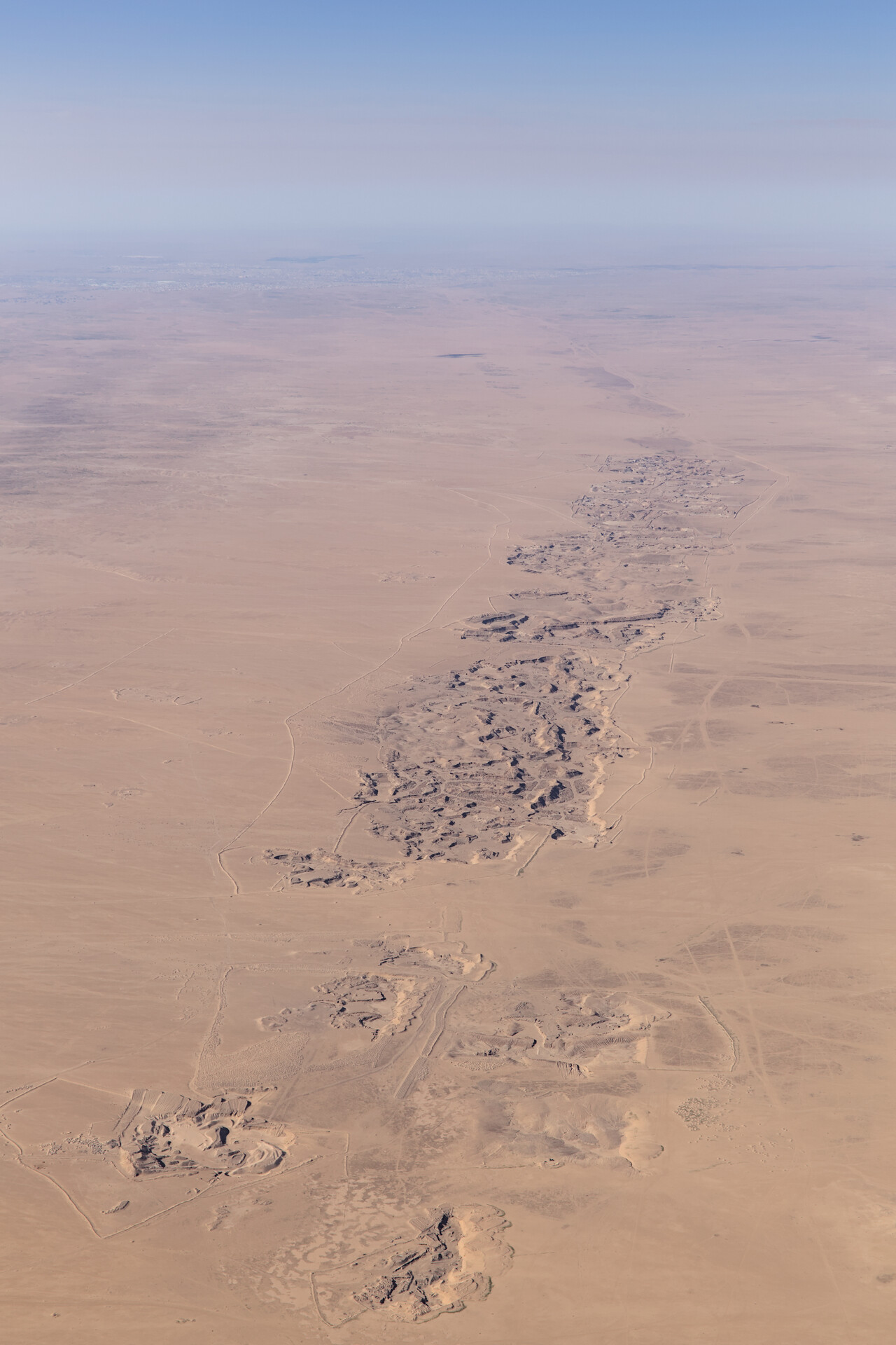
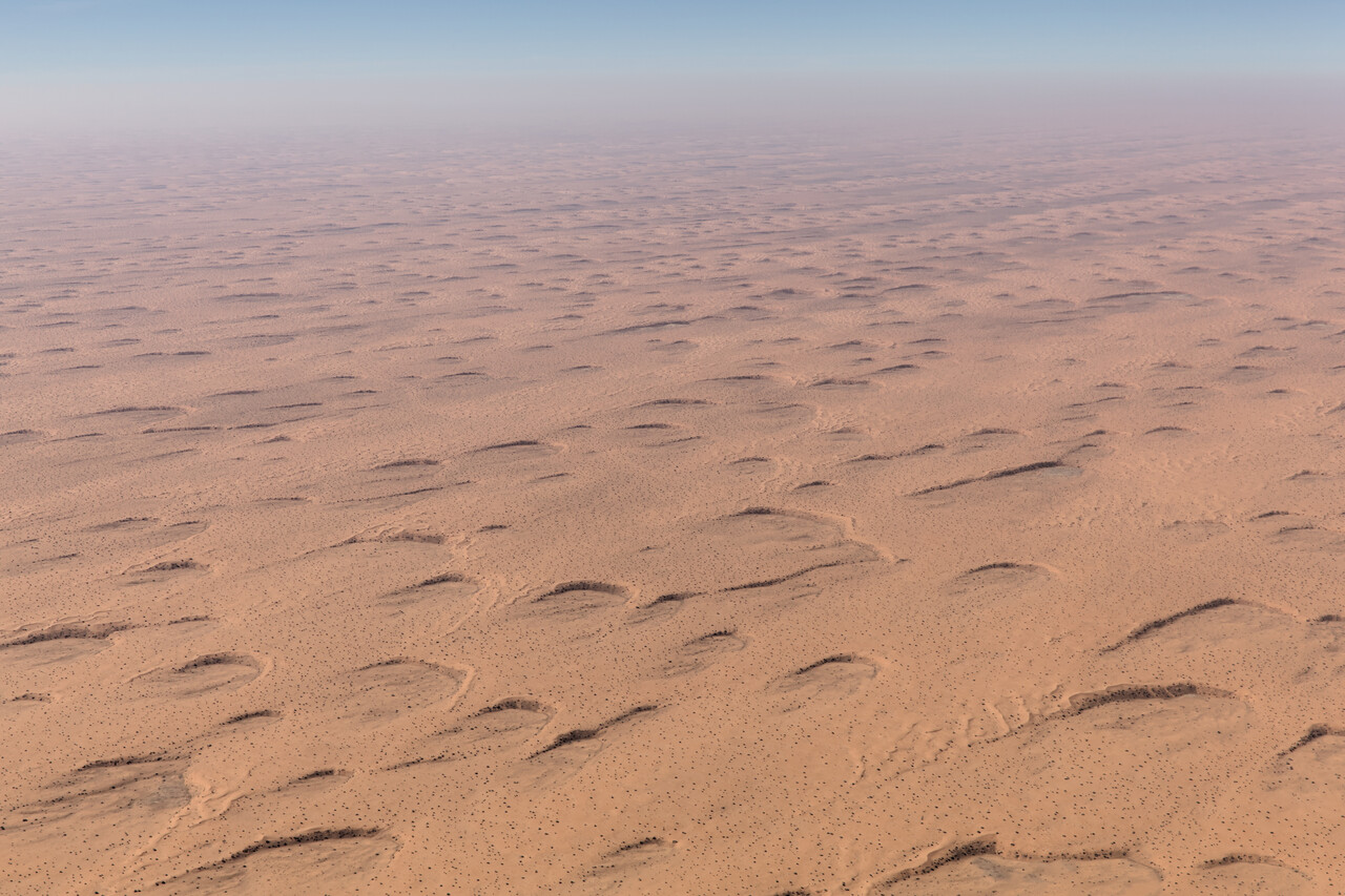
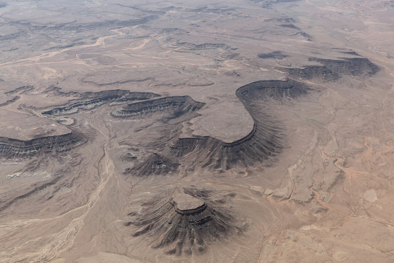
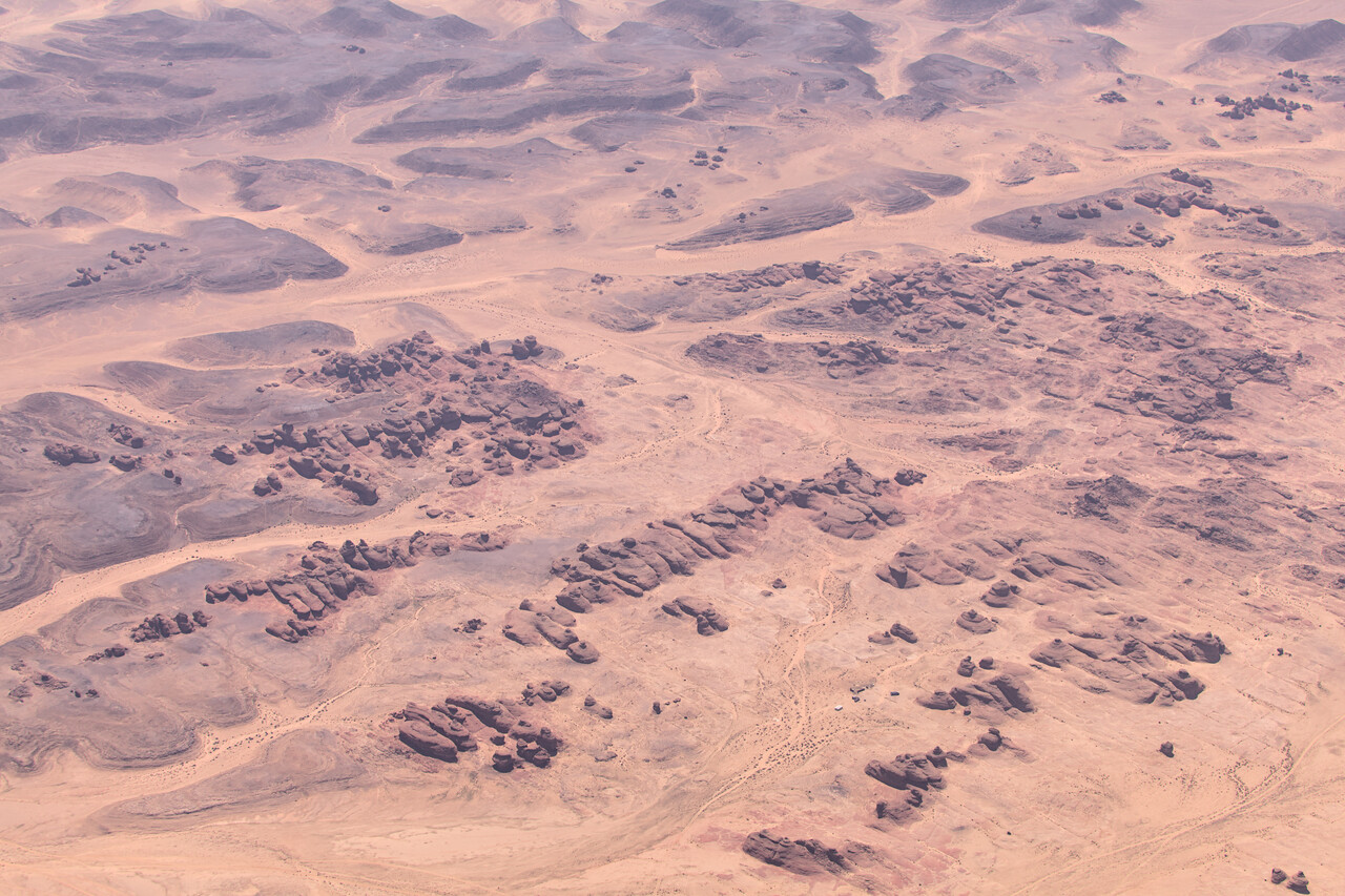
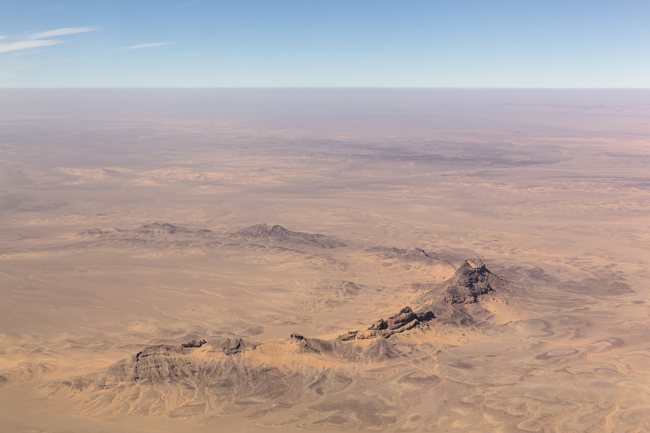
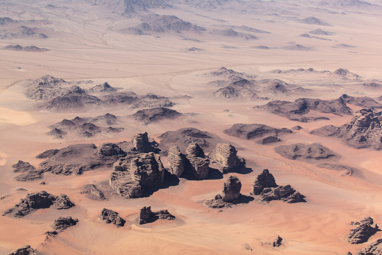
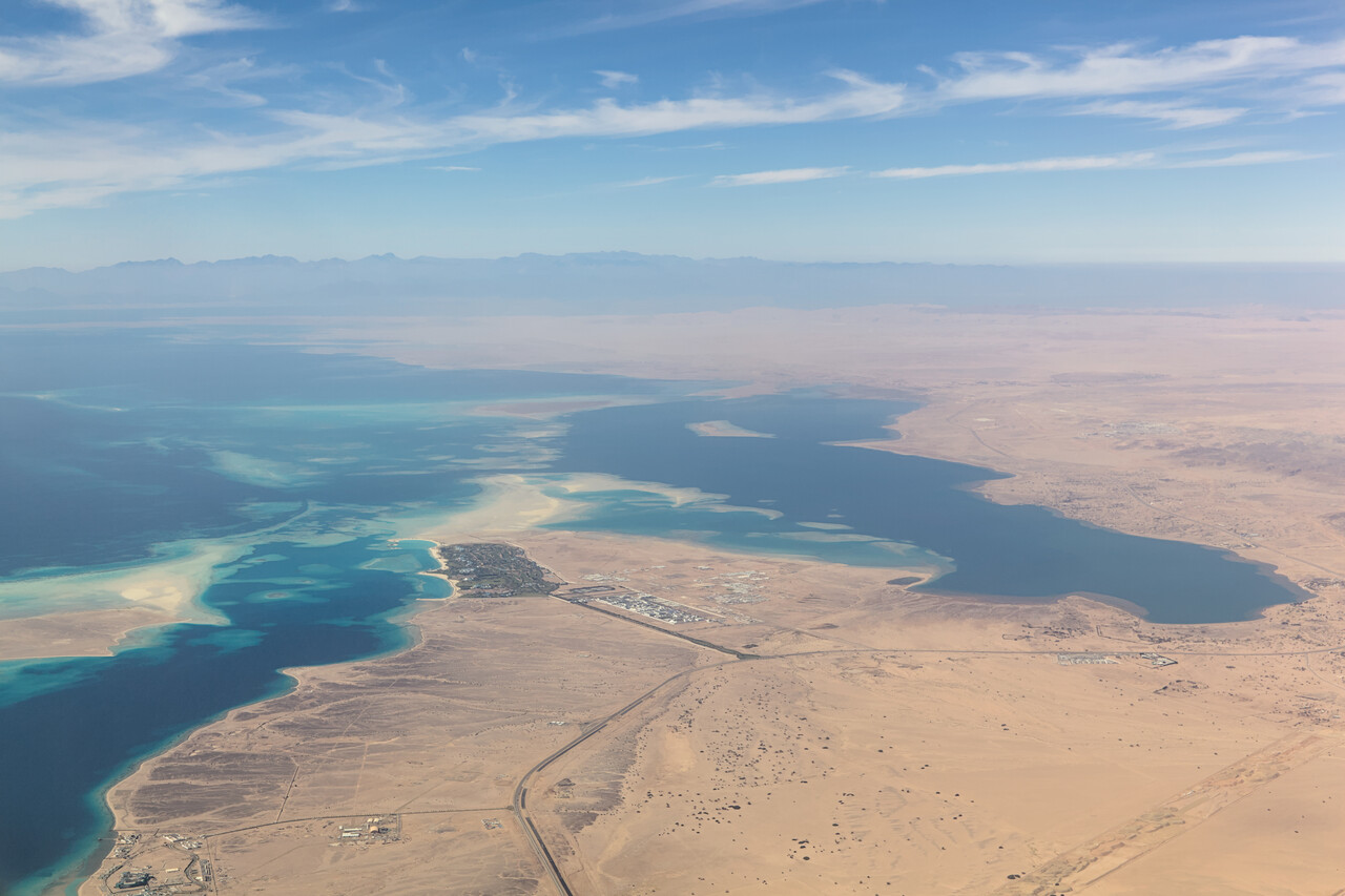
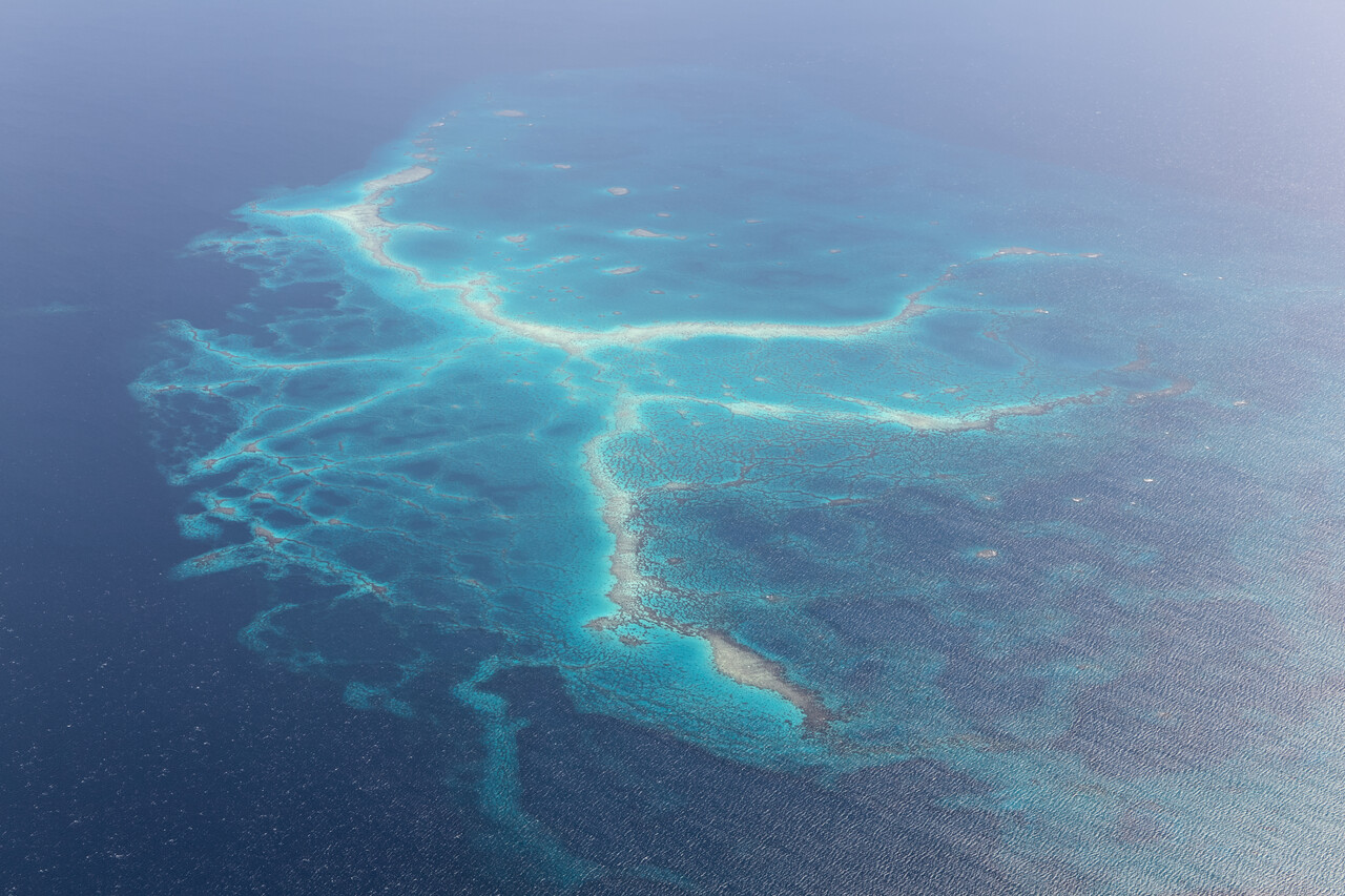
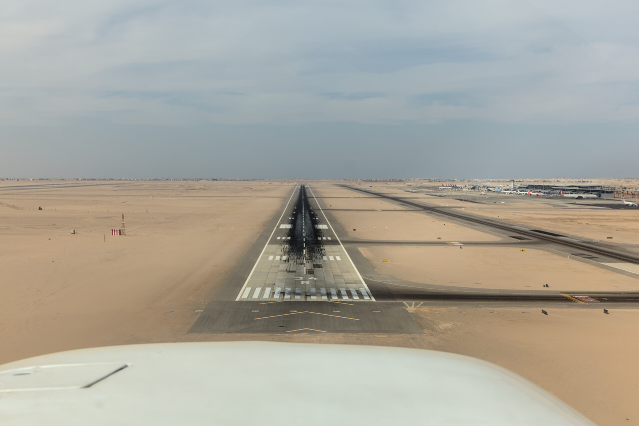
Egypt and home via Greece and Italy
We had to be back home by mid March and we had planned to stay in Egypt for ten days. The idea was to sacrifice these ten days in case we suffered from delays during our ‘ferry phase’ from Singapore to Egypt. We had never been to Egypt before; besides a few places in the Gulf region, it was the first country on this journey that was completely new to us. Therefore we were really glad that there were no delays at all and we could enjoy the full ten days in Egypt.
We always plan conservatively and therefore we had left a few days of final reserve after Egypt. With the regained planning flexibility and the nice weather compared to Germany, we decided to spend them in Greece.
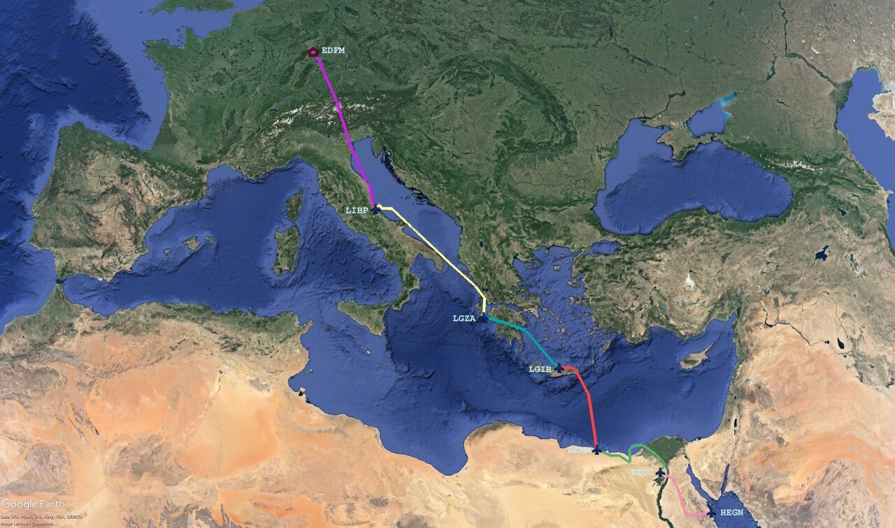
Egypt
The archeological sites in Egypt are among the main attractions in the World, and there is so much to see and do that this text could never do it justice. Anyway, most readers will have been there anyway and will probably have visited many more places than we have. Therefore I’ll just describe our experience and insert a couple of pictures as a teaser.
Tourism is of utmost importance to the Egyptian economy and therefore the authorities try to prevent any bad news. There were terrorist attacks on tourists a couple of years ago and the regime constantly fear turmoil, the more so in the light of the war in Gaza. Therefore security measures are sometimes extreme. Moreover, Egyptian bureaucracy seems to love cumbersome and inexplicable processes. In combination this can make things a bit complicated.
Our first experience with this was after landing at Hurghada, HEGN. The wind was above 20 knots and we were marshaled into our huge stand facing downwind. After shutdown we told the marshaler that we wanted to turn the plane into the wind as according to the TAF even higher winds had to be expected from the same direction. He told us that he had to ask his supervisor and that normally this was not granted. Our handling agent was sure that they wouldn’t allow us to do the obvious but after a bit of discussion where we tried to be friendly but firm, to his great surprise we could turn the plane around.
The next problem was getting the rental car we had booked. We were taken landside via a route not going through the arrival hall, where the car company’s booth was located. However, there was no way to enter the arrival hall from the outside, security would not allow that. We were met by an ‘outside man’ of the company who called the ‘inside man’ to come to the door with the contract. The security guard passed the papers back and forth so we could both sign them.
When we finally got our car, our plan was to drive down the coast to approach Luxor from the south after crossing the mountains which separate the Nile valley from the Red Sea the next day. There was no normal hotel to be found on the coast, only all-inclusive resorts were there. We booked one even though we had never been to such a place before. When we checked in staff seemed as unfamiliar with these strange guests arriving by car and staying just one night as we were with this kind of accommodation. I almost started a turmoil when the receptionist tried to attach a rubber band around my wrist. I learned only later that this is completely normal and not offensive 🤣.
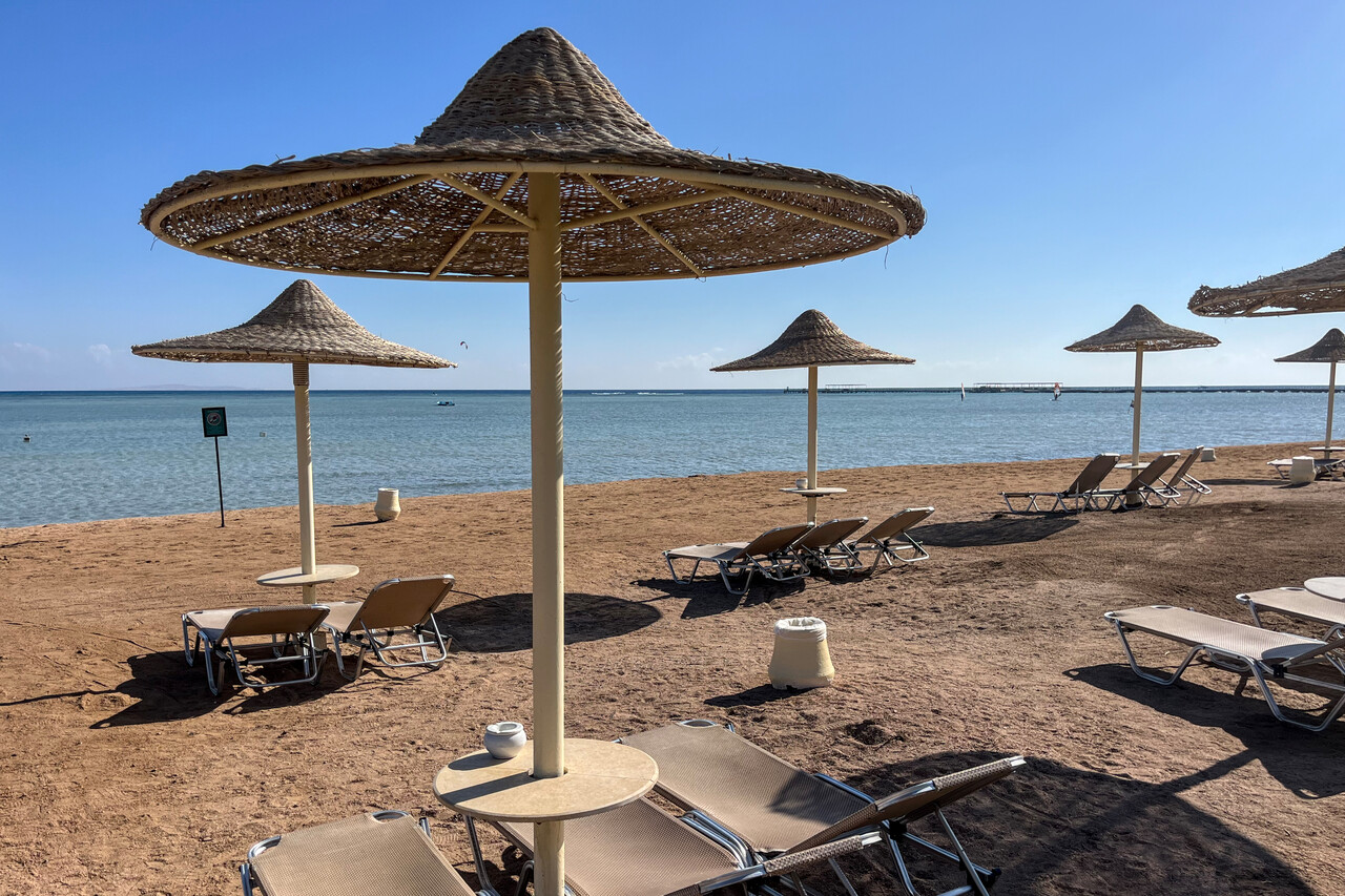
The next morning we drove further south but when we tried to turn inland and cross the mountains, we were stopped by the police. Despite the considerable language barrier we learned that the road through the mountains was deemed unsafe and we weren’t allowed to drive there. We had to drive all the way back again to cross the mountains close to Hurghada via the only road considered to be safe for tourists.
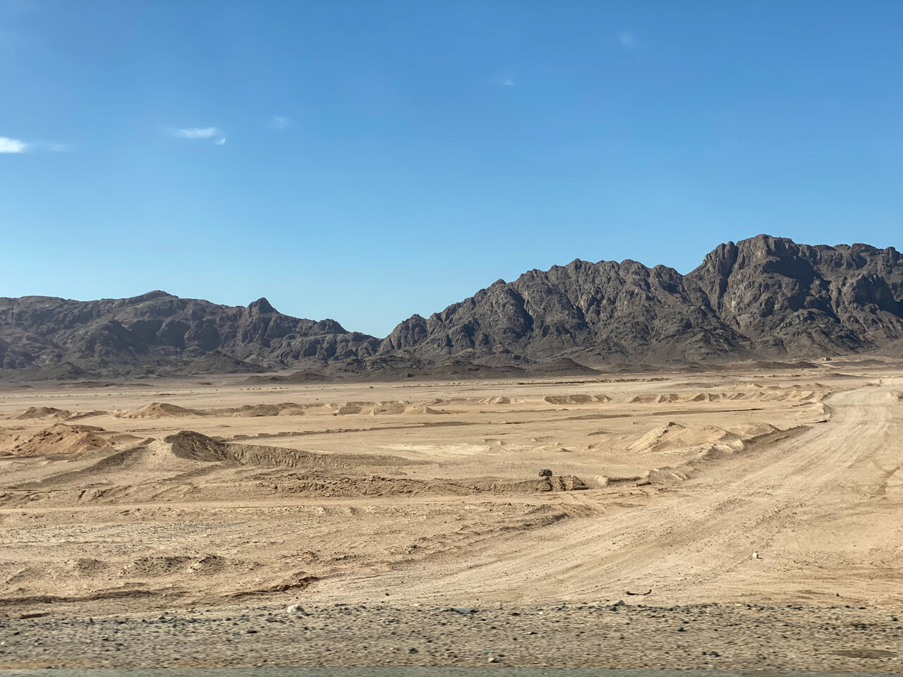
We arrived late at our hotel in Luxor but still before dark. Due to the delay we missed the sights south of Luxor, but what we saw in the following two and a half days was nothing short of spectacular. The temples of Luxor and Karnak as well as the sites on the western side of the Nile left a deep impression and we really enjoyed the visits.
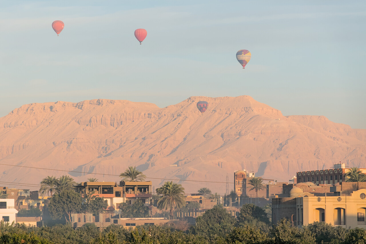
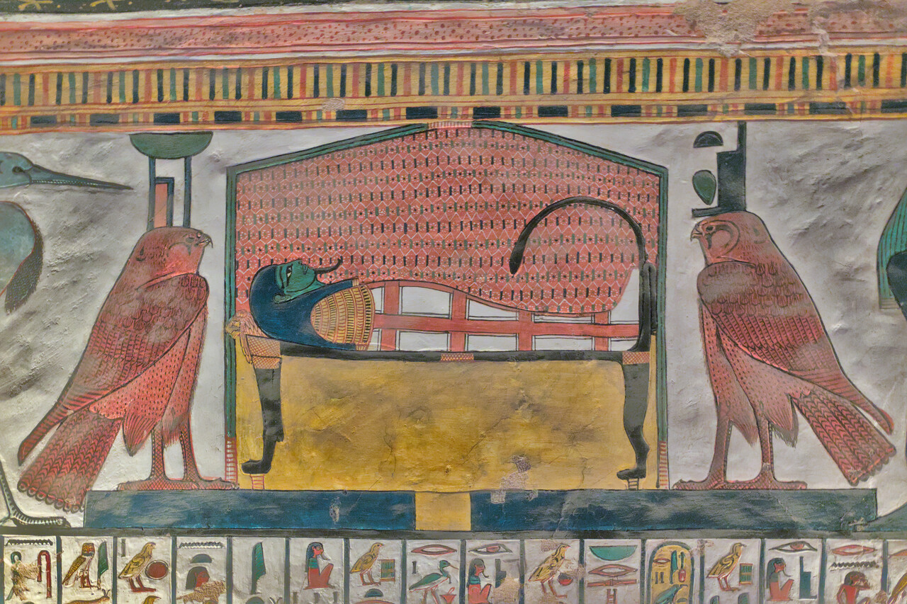
We crossed the mountains towards the Red Sea once again to spend the night close to HEGN in yet another resort. By the time we were all-inclusive pros and were not bewildered when the receptionist attached rubber bands around our wrists on check-in 🤣.
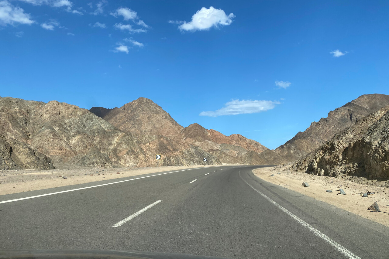
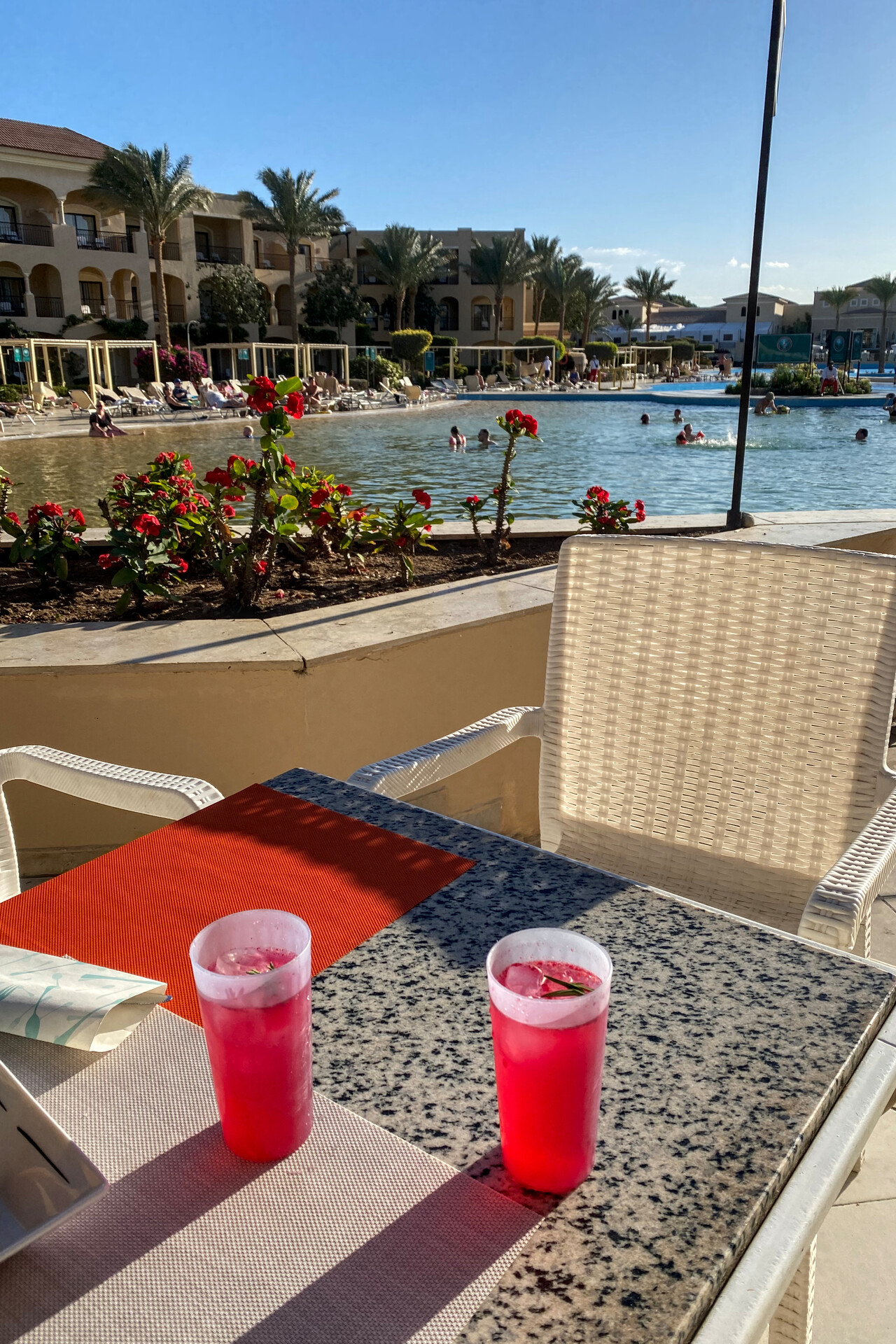
We flew to 6th October Airport, HEOC near Cairo the next day to visit the pyramids and the city. Our departure worked fine except for the refueling. Avgas is supplied by the Air Force at HEGN but a General was visiting at the time what made refueling impossible or so we were told. We had more than enough fuel to fly to HEOC, so we didn’t bother.
The flight was enjoyable once again. We crossed the dangerous mountains, the desert and the Nile valley in nice conditions. Only the arrival was a bit awkward – ATC put us overhead the field at 4000 feet and sent us over to tower right when we lost our GPS fix. Tower cleared us to land without further instructions. The field is quite hard to spot in the desert, so we decided to do a wide left turn without losing sight of the runway. Nobody complained, so I guess this was OK.
Everything went smooth again on the ground. We secured the plane, quickly refueled and our transport was ready when we left the little terminal.
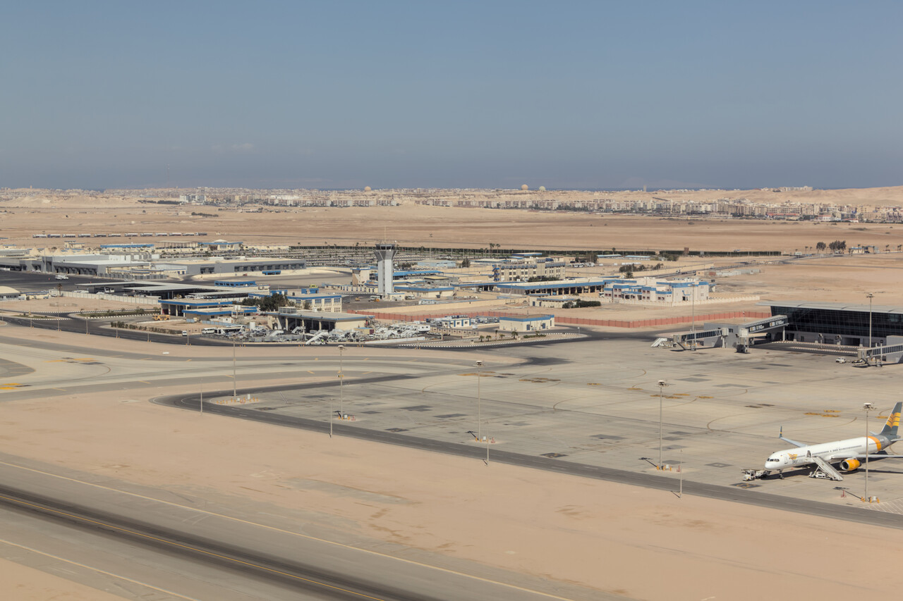
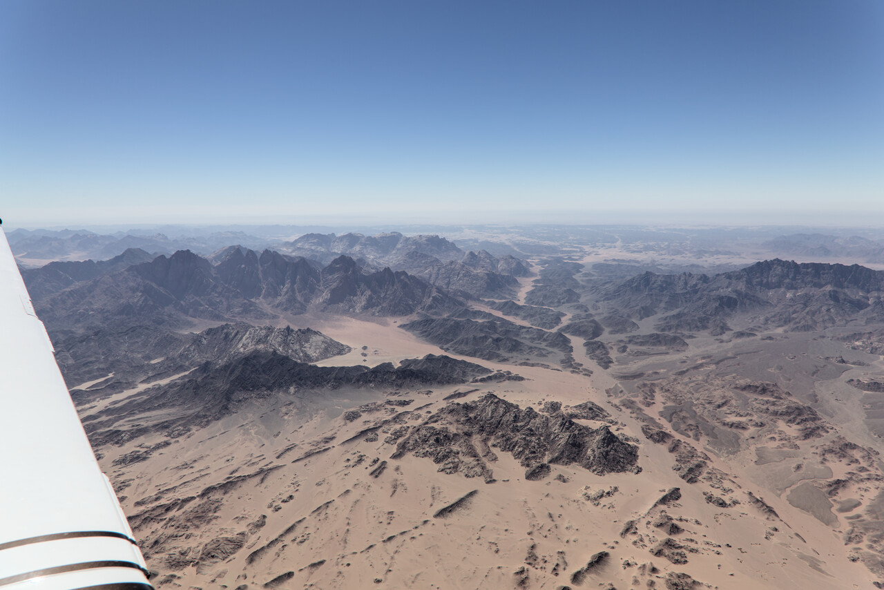
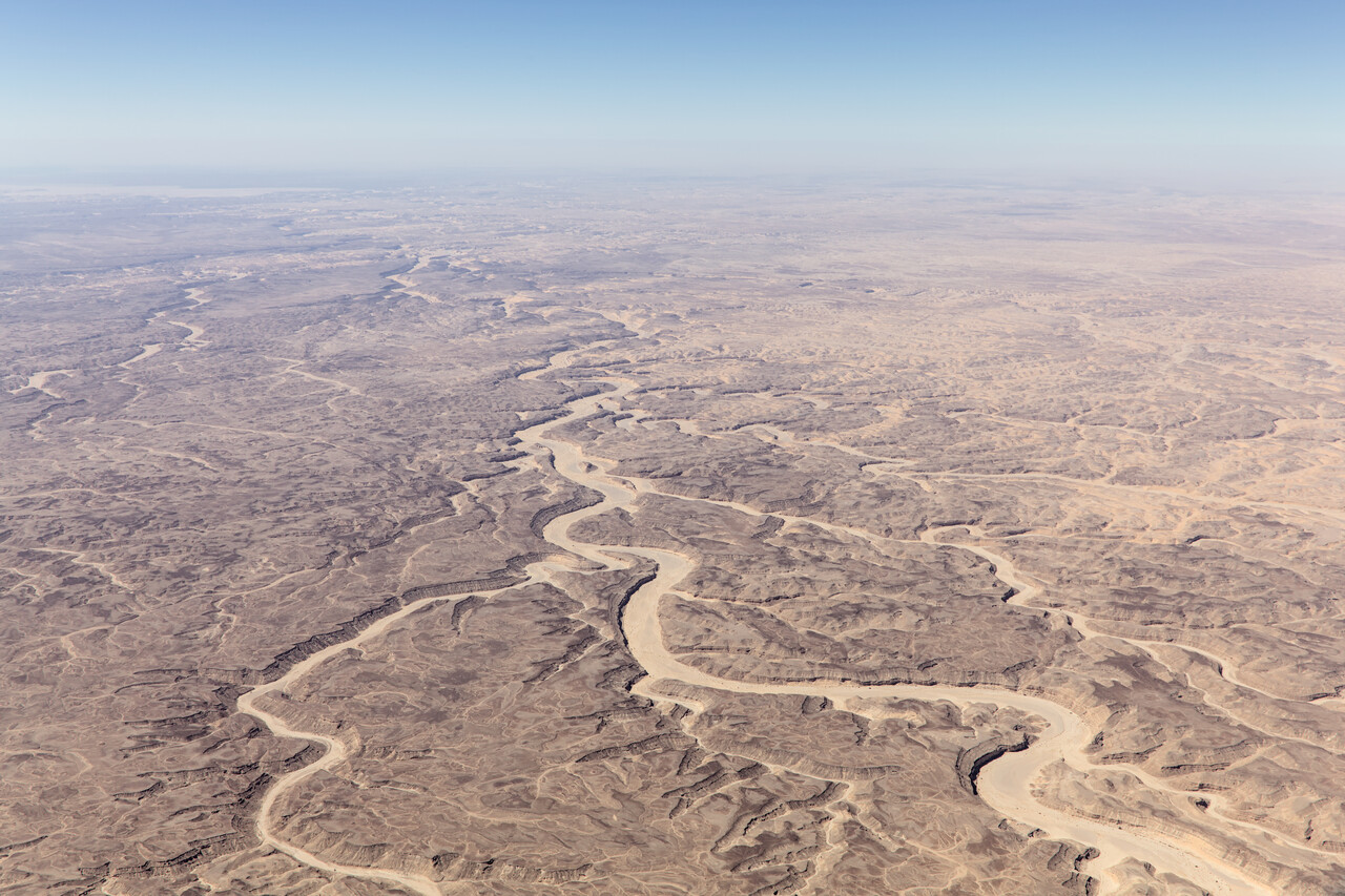
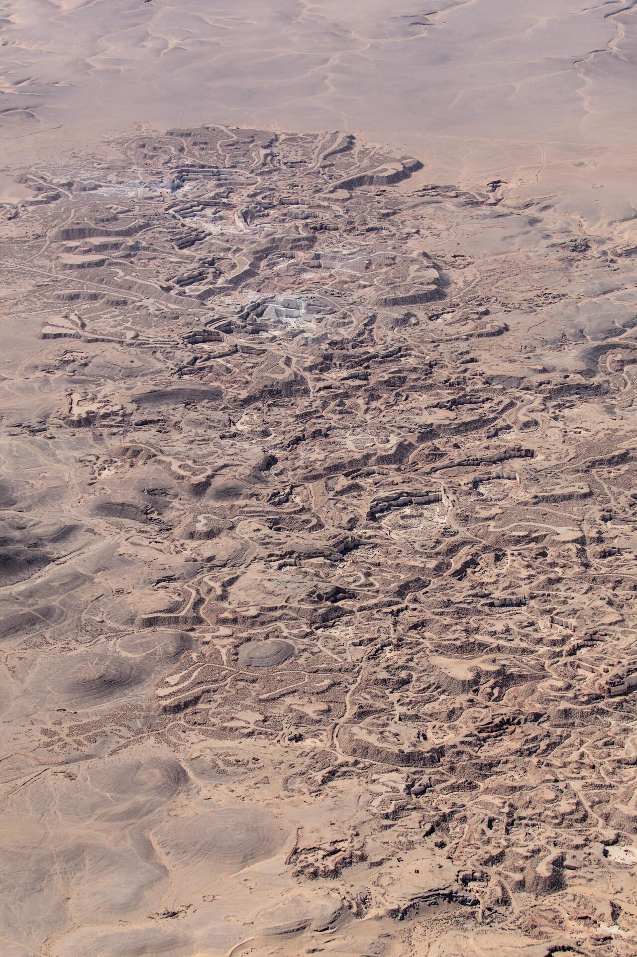
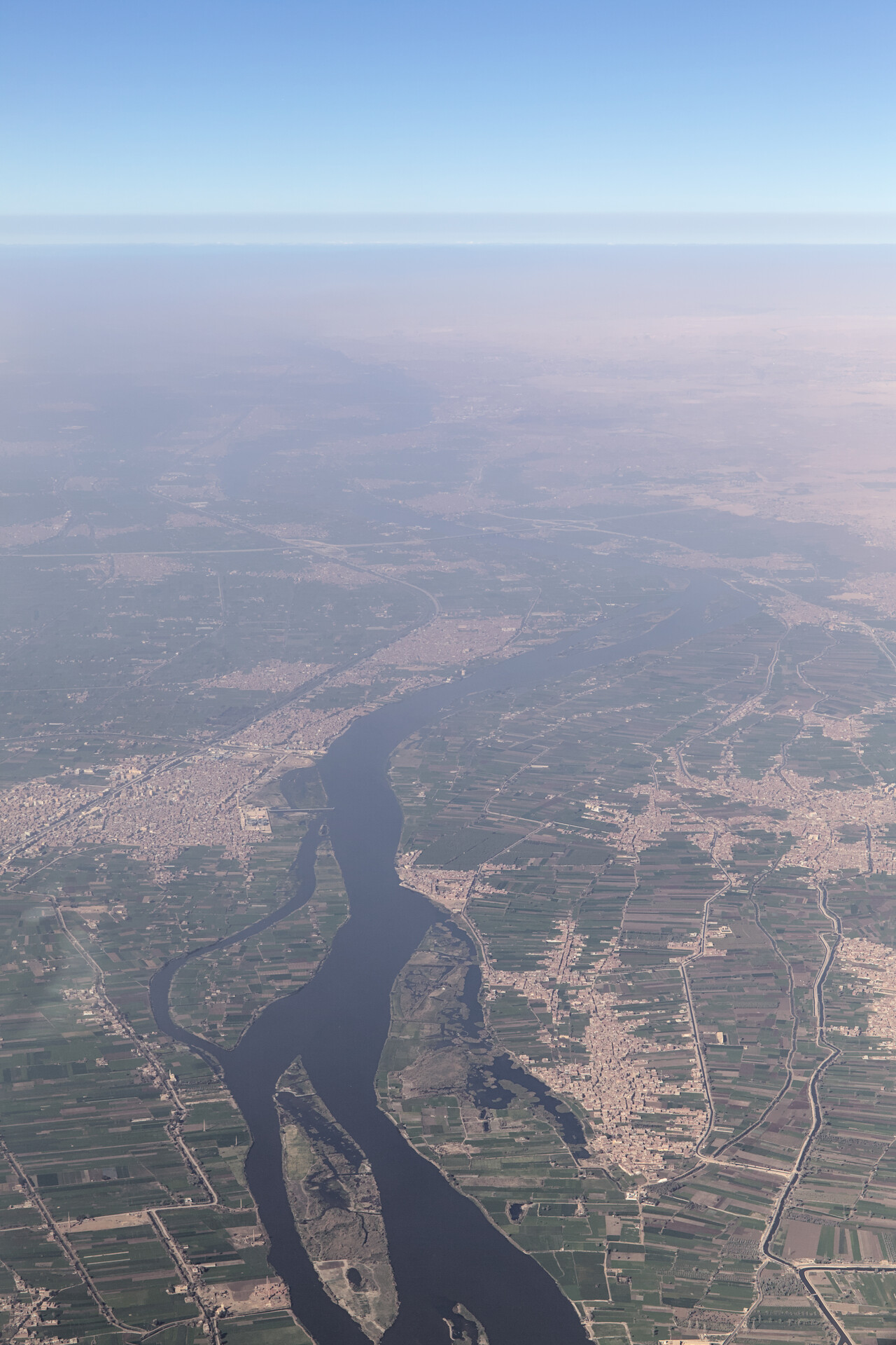
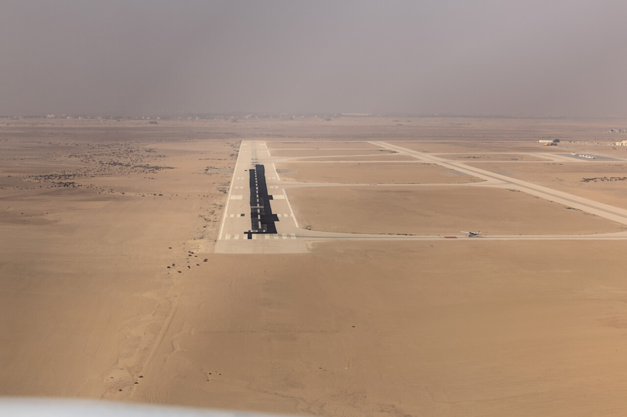
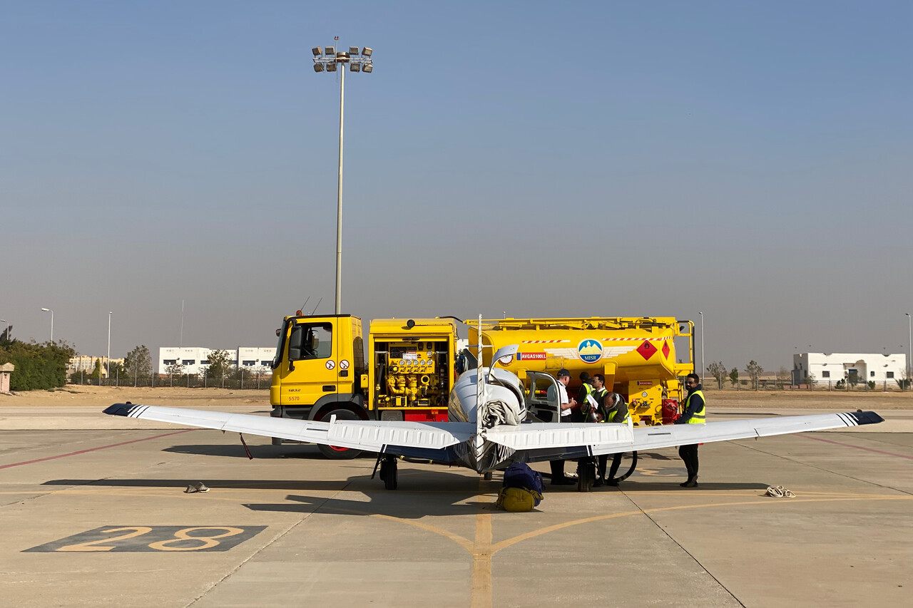
We had booked a hotel in Giza, close to the pyramids for the first two nights; we hoped we could avoid the worst of the crowds by being there early. It goes without saying that the pyramids of Giza and Saqqara are spectacular sites.
To see Cairo we moved to a central hotel for two more nights. The city is interesting with its centuries of history and architectural relics from all periods. However, while it’s not too unpleasant, it’s really noisy.
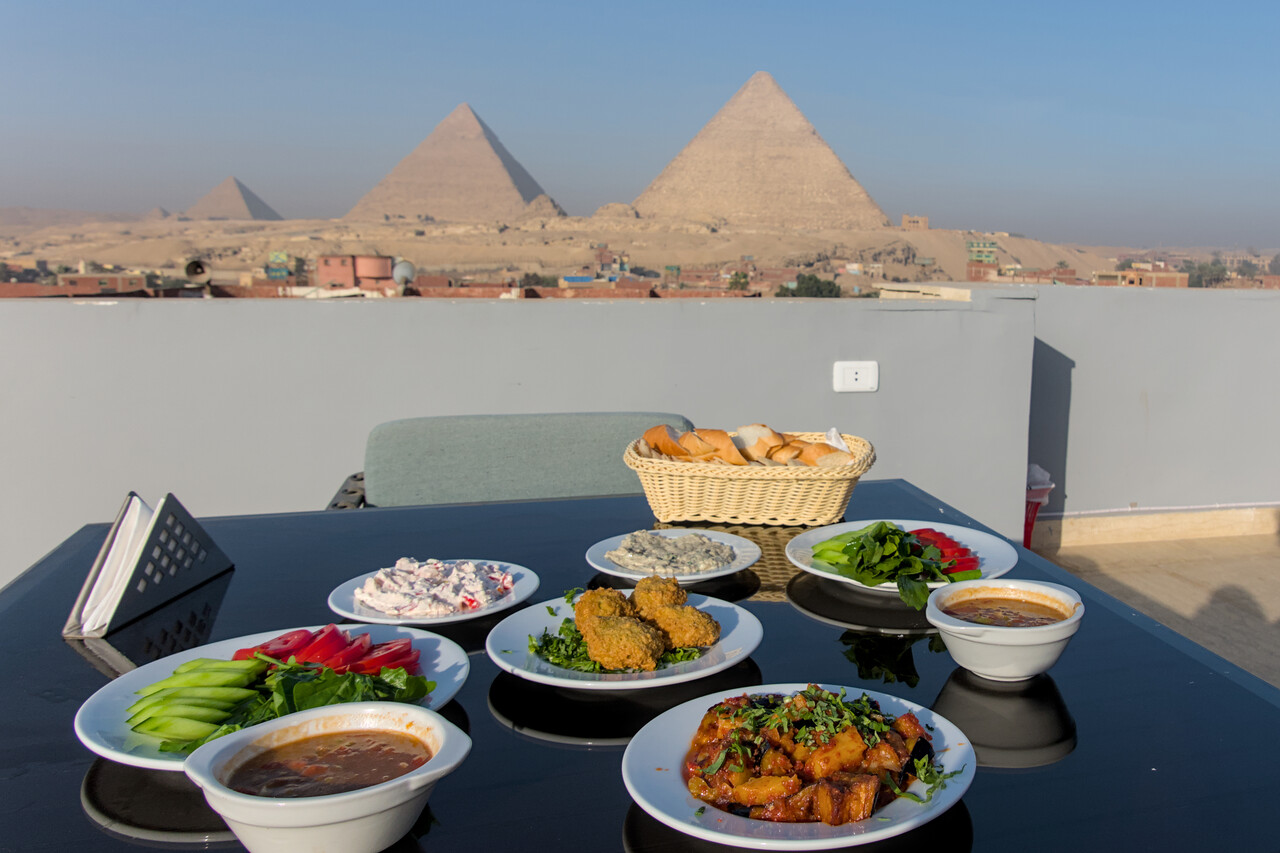
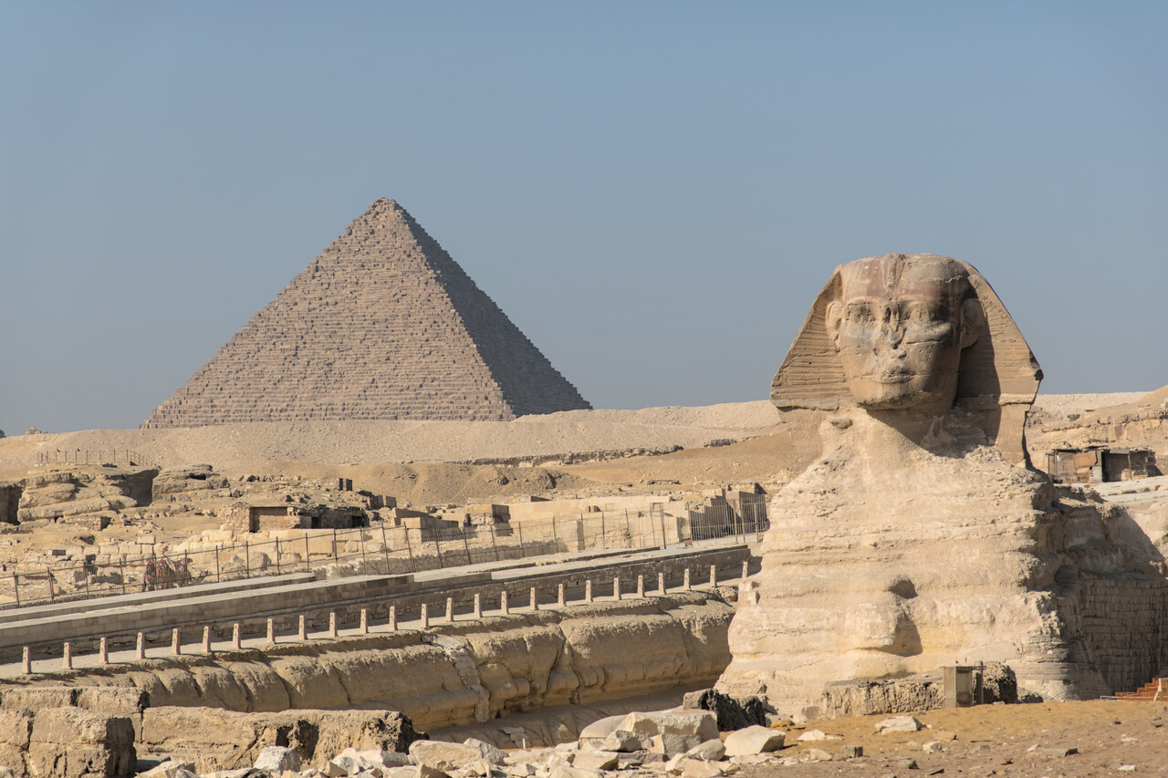
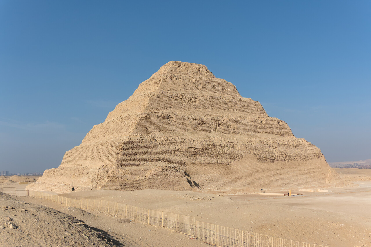
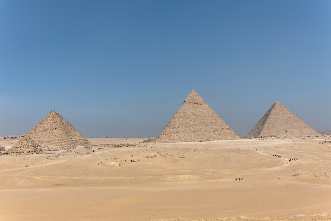
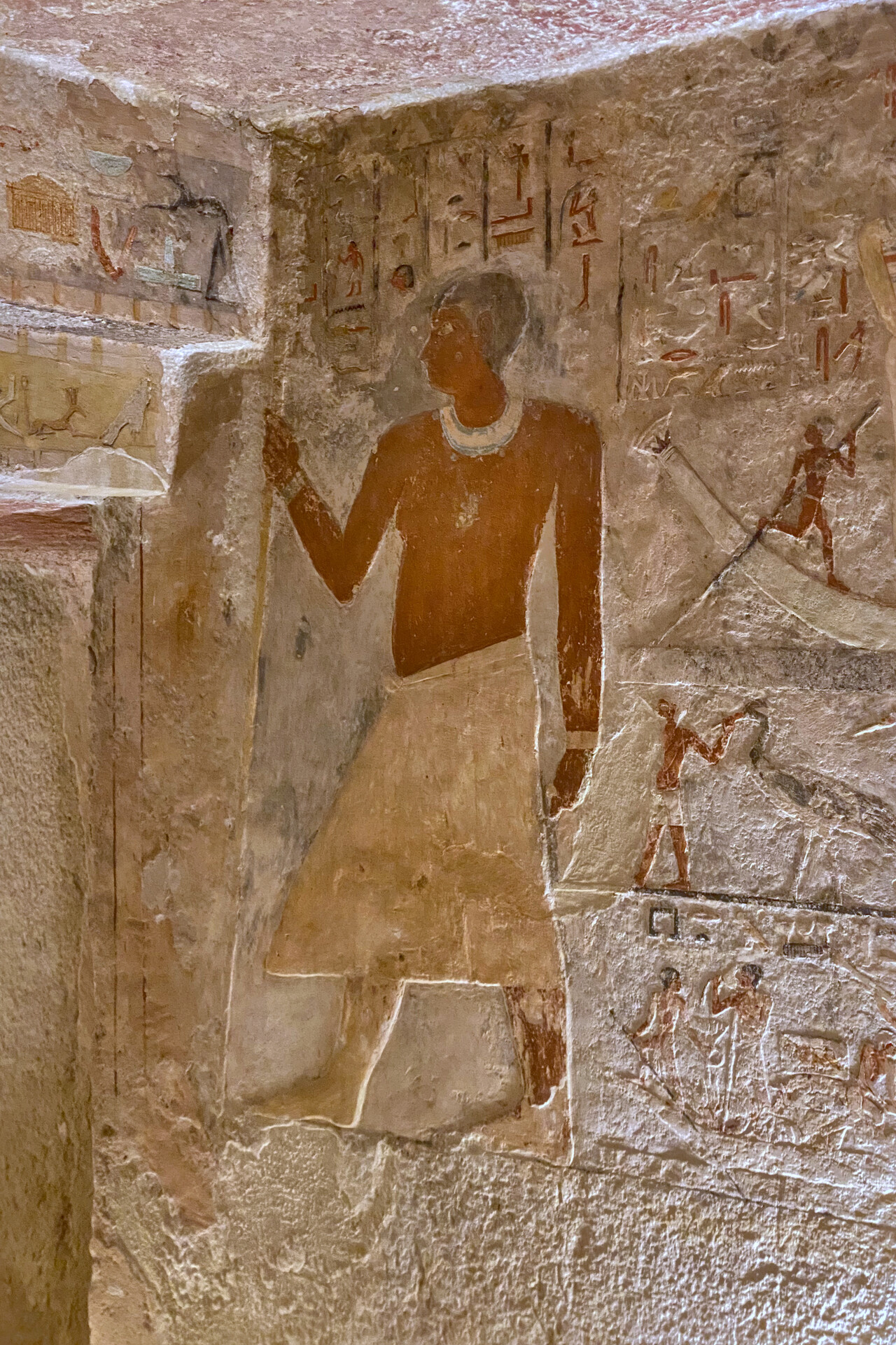
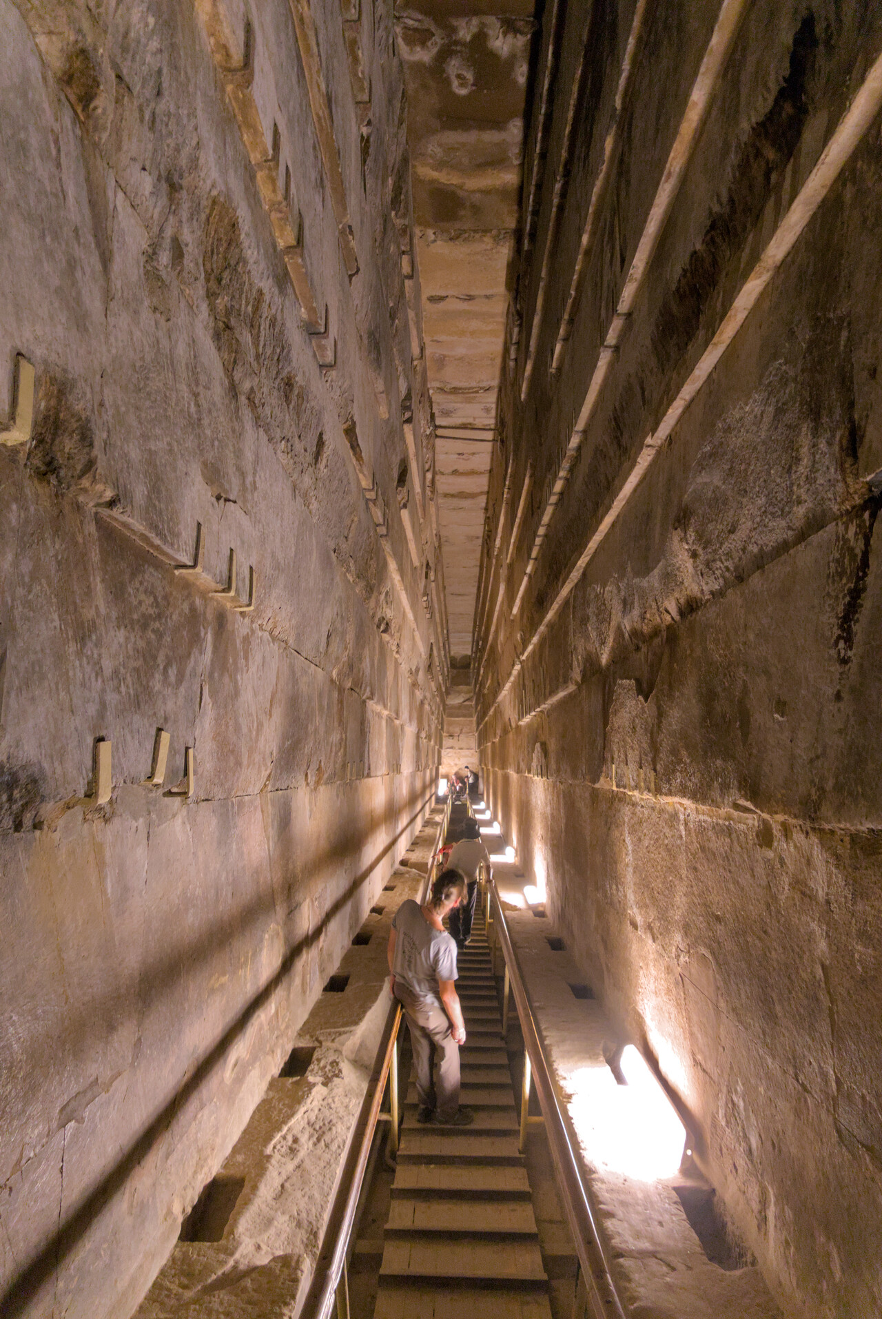
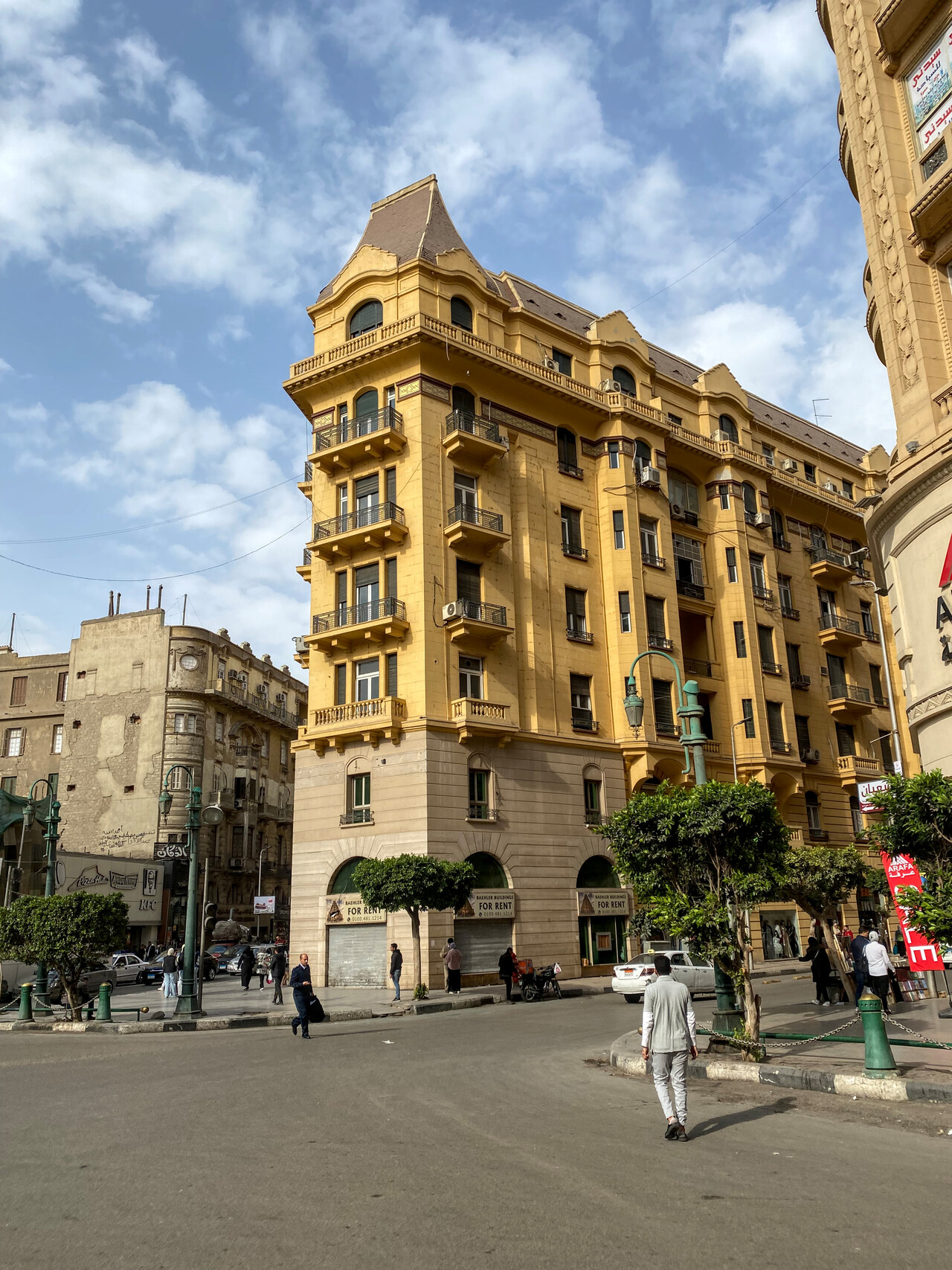
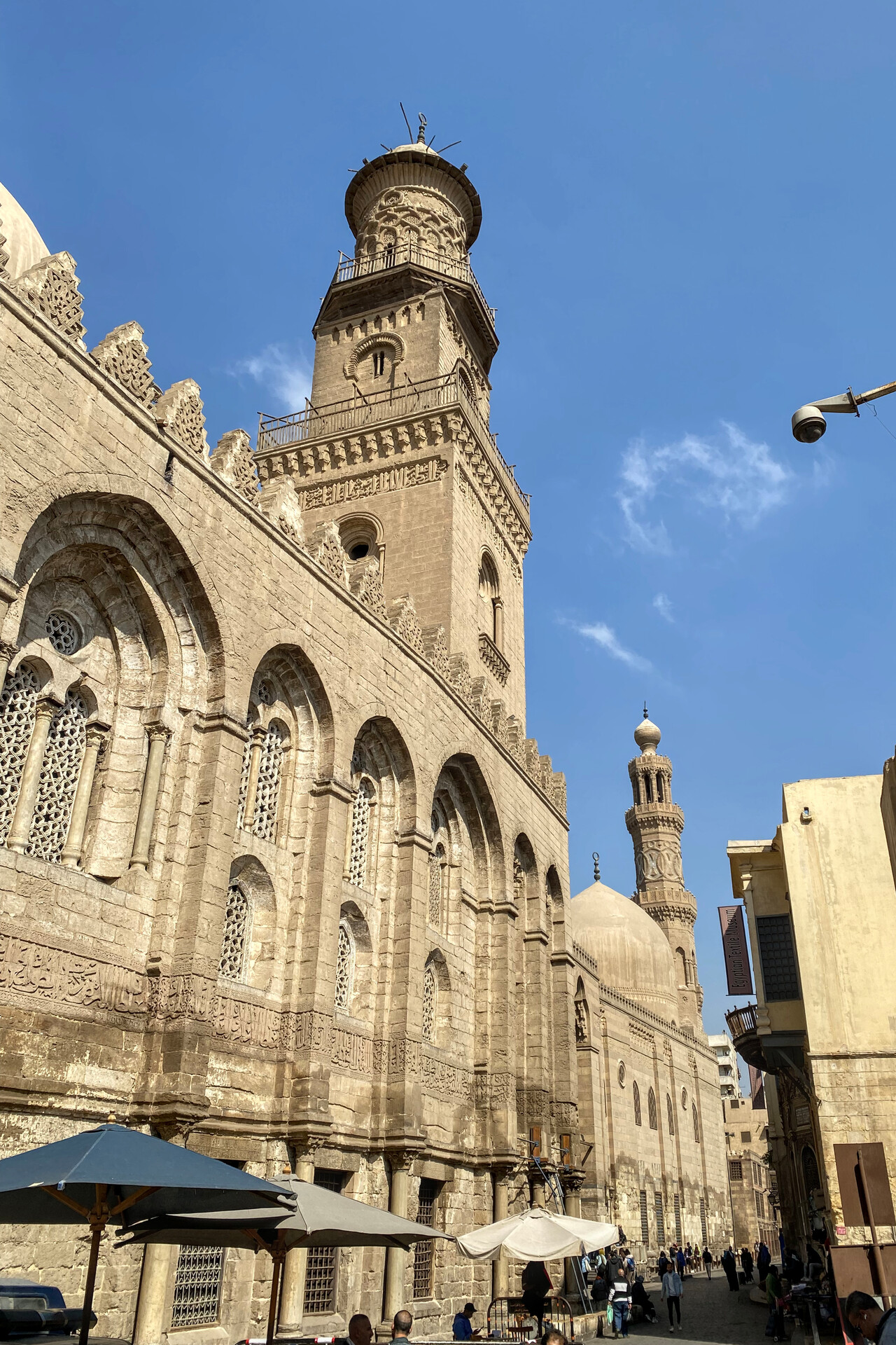
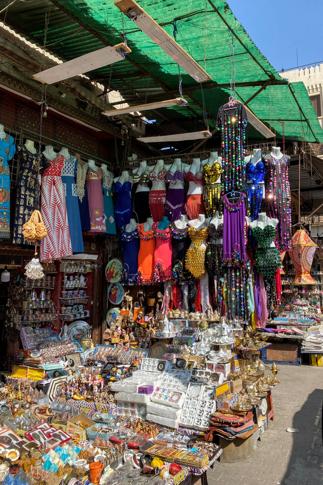
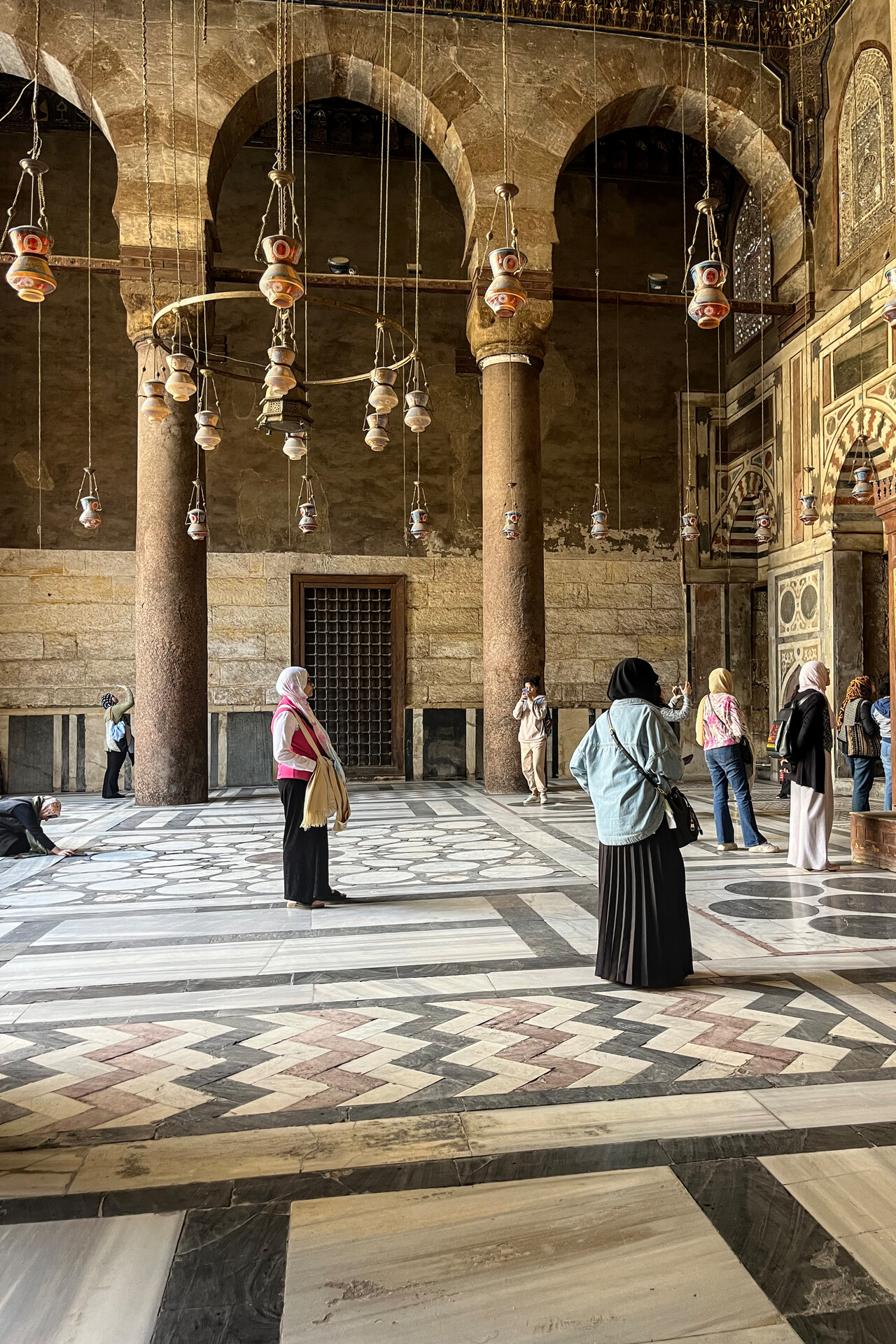
Our last flight within Egypt took us from HEOC to Mersa Matruh, HEMM but this time things didn’t go as smooth as on the last flight. After take-off ATC made us climb to 6000 feet overhead the airfield. Then they started vectoring us in the opposite direction from our destination. When we started to complain, they gave us a direct to an intersection that was not on our flight plan. We complied for a while but the next intersection they wanted us to fly to was way off the north coast. Neither were we prepared for a long flight over water nor were we interested in such a detour. ATC claimed this was what they had as flight plan but we had provided our agent a completely different plan. After endless discussions on the radio and an absurd zigzag over northern Egypt we eventually mad it to HEMM. Anyway it’s never all bad – due to the ridiculous route we saw the pyramids from the air. Moreover, once we were on the ground in Mersa Matruh everything worked nicely again.
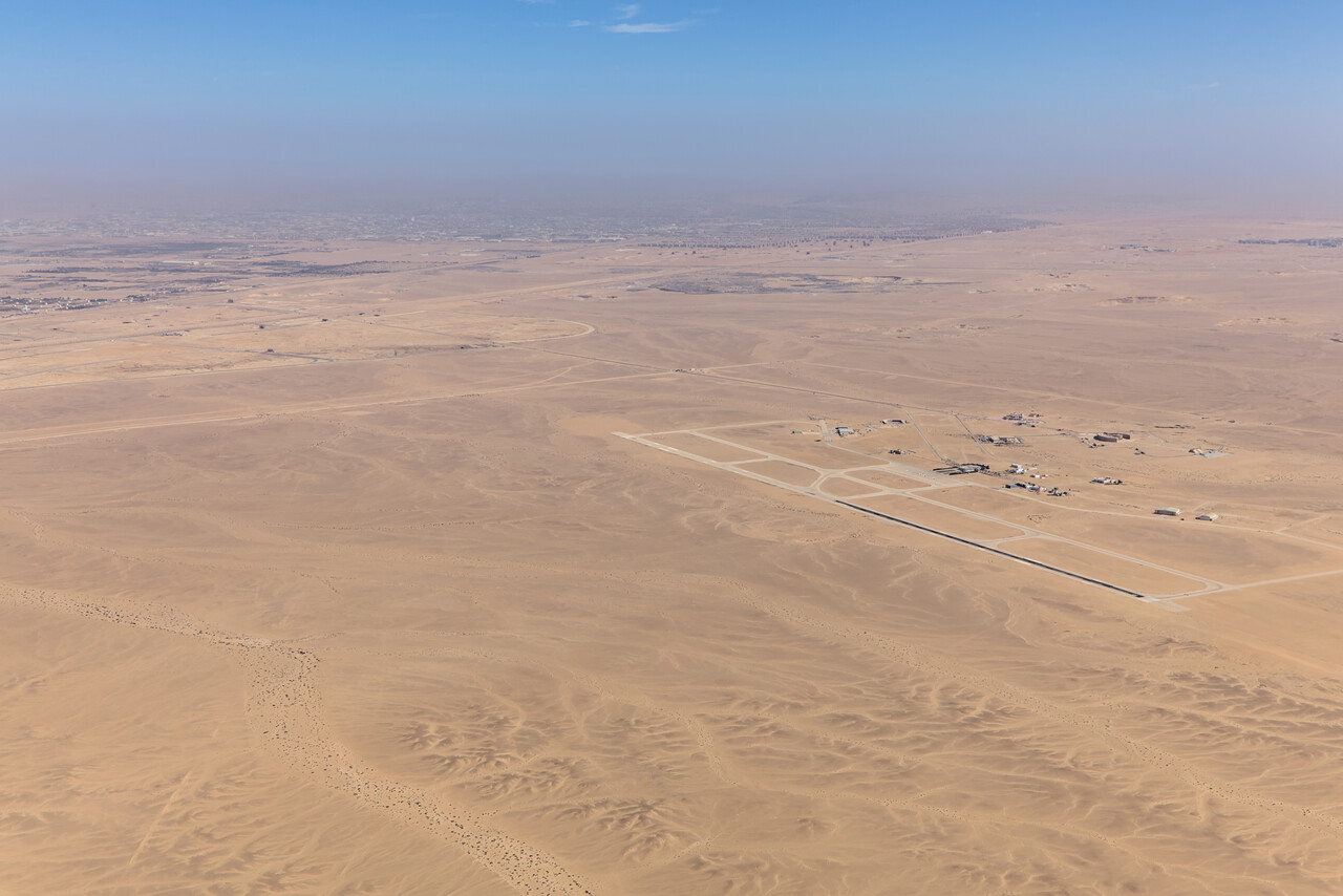
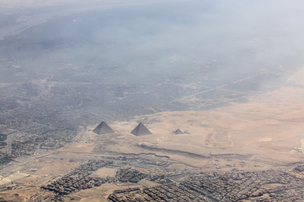
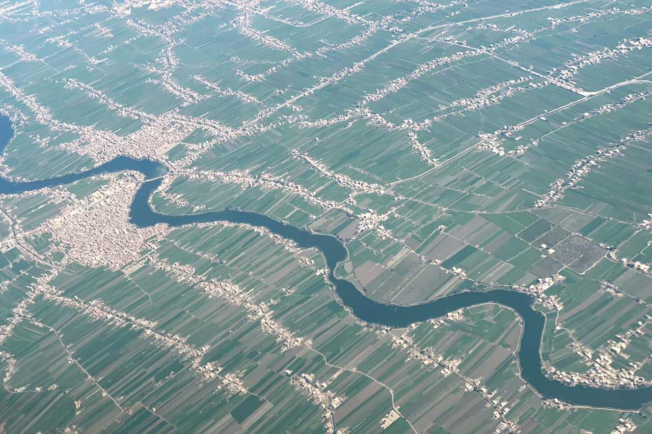
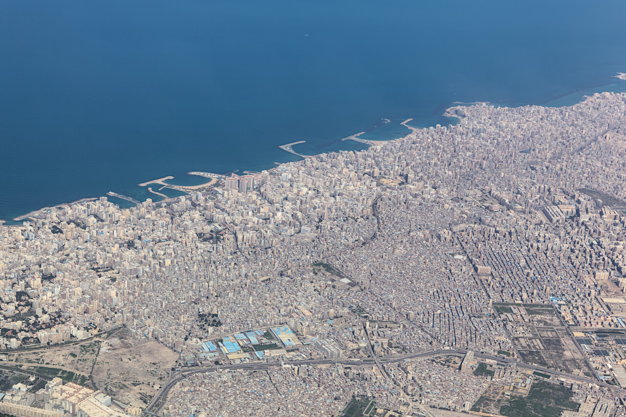
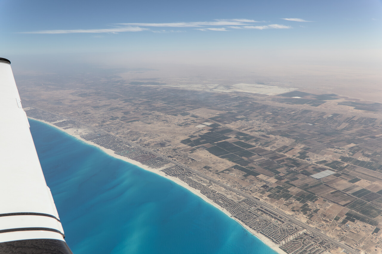
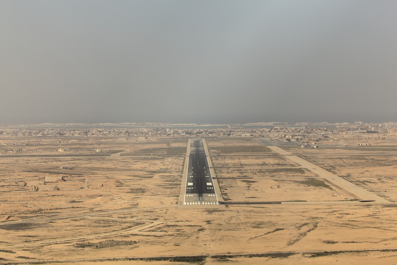
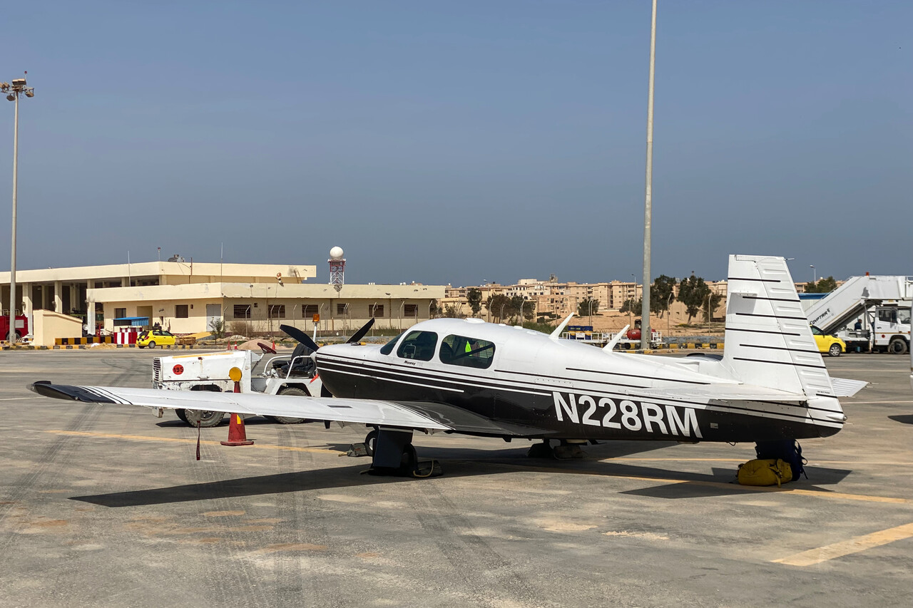
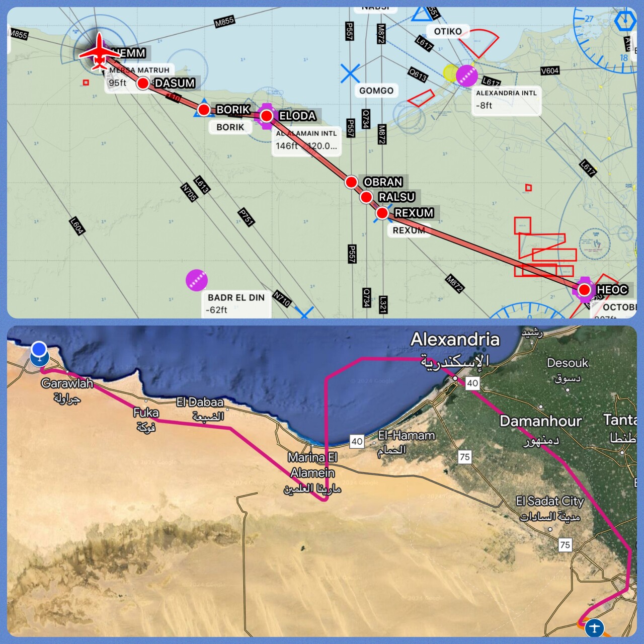
HEOC doesn’t provide C&I, therefore we needed a stop before heading to Greece. Actually we would have preferred to fly to Alexandria and spend a night or two there but we couldn’t get parking there. Even back at the Red Sea coast locals were very fond of Mersa Matruh and the beaches there but honestly we weren’t that impressed. It was really off season, though, maybe it’s better in summer.
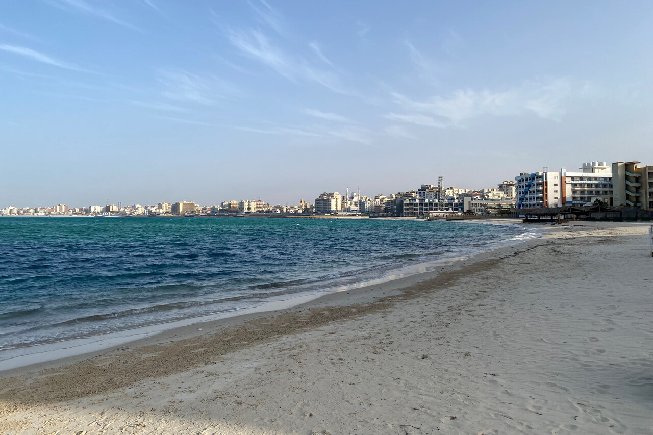
Back to Europe – Greece and Italy
Except for the headwind weather had not been an issue since we had left Bangkok, but now a cold front was approaching Crete. We left HEMM early to get to Heraklion, LGIR before the weather but the clouds started shortly after our departure. As water temperatures were quite chilly, we decided to wear our immersion suits for the flights over the Mediterranean. After one hour and forty minutes flight time we were back in Europe, helped by a nice tailwind.
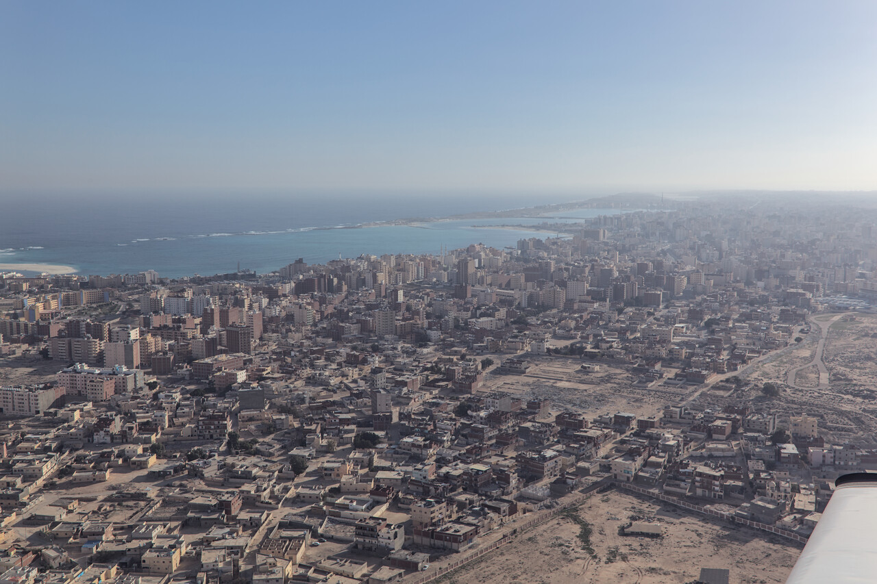
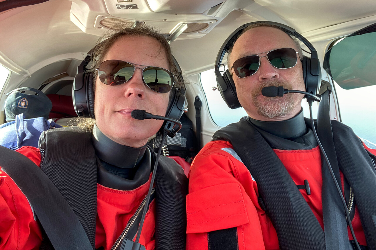
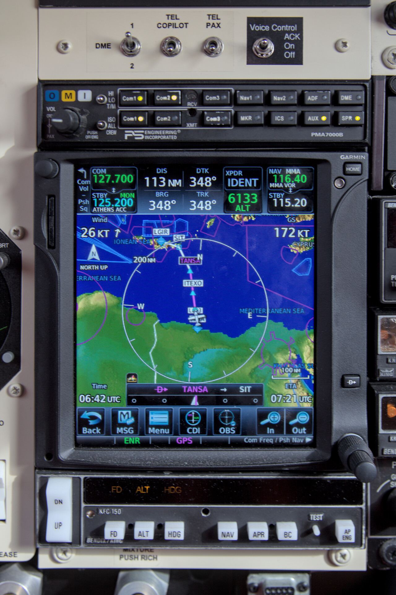
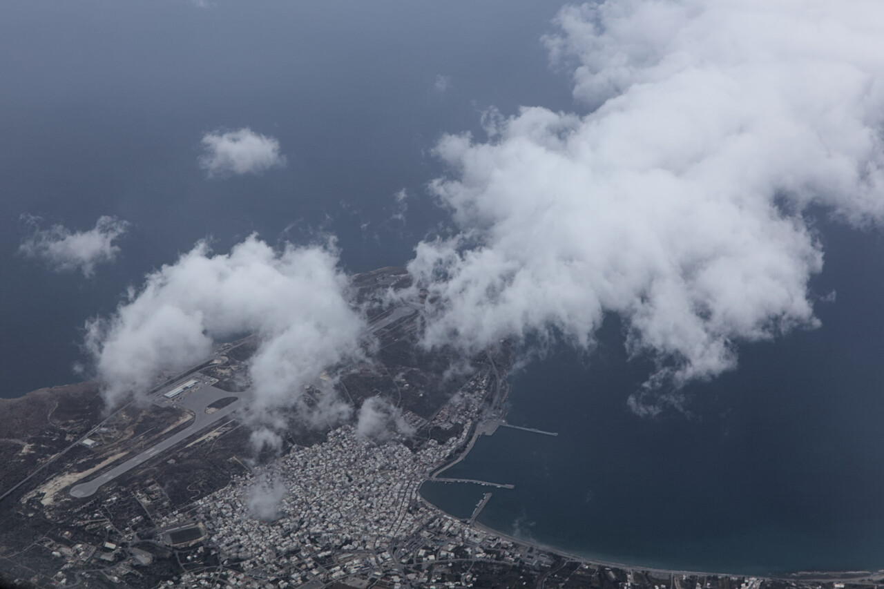
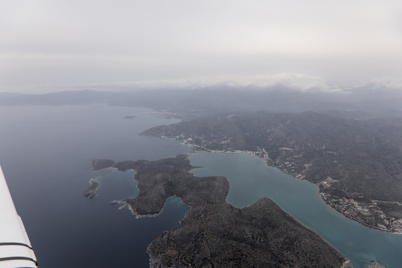
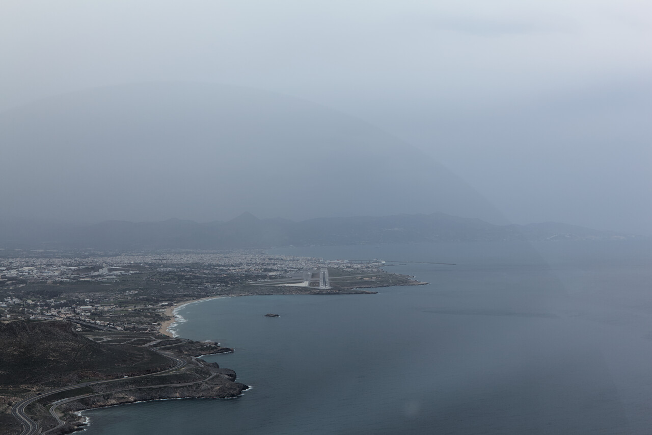
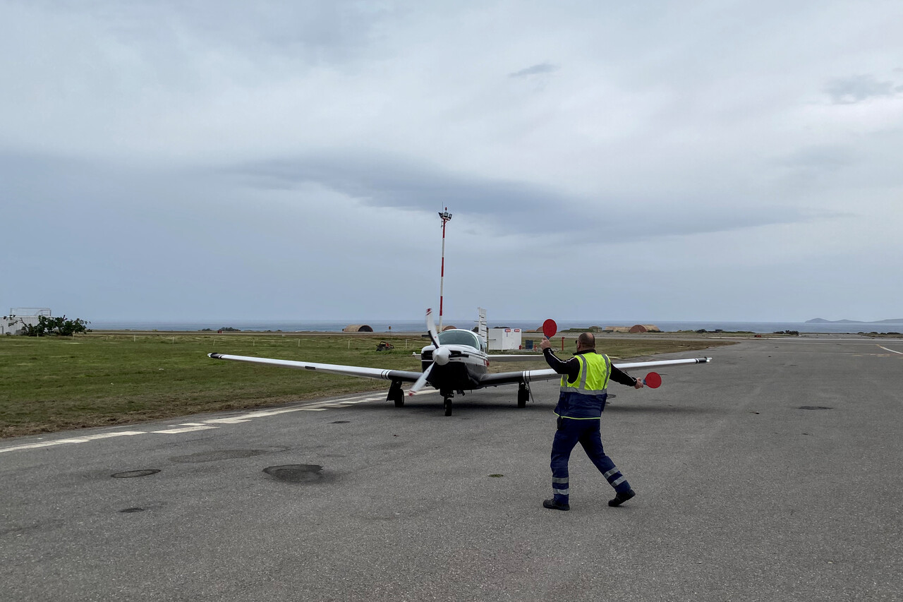
We had been to Crete a couple of times before and we spent most of the time in the center and the west of the island during our most recent visit. Therefore we opted for the east this time and had booked an apartment in Agios Nikolaos. It was spring time which turned out to be a very pleasant season down there.
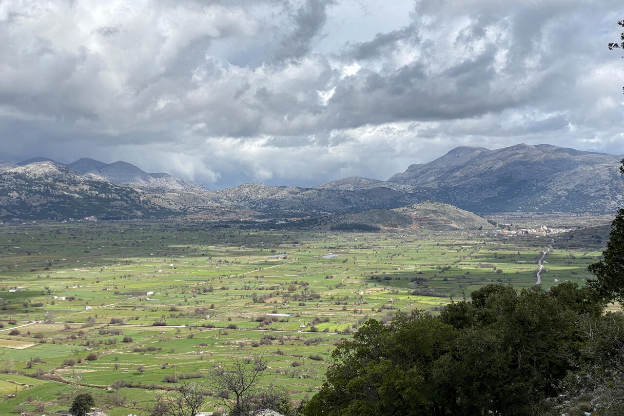
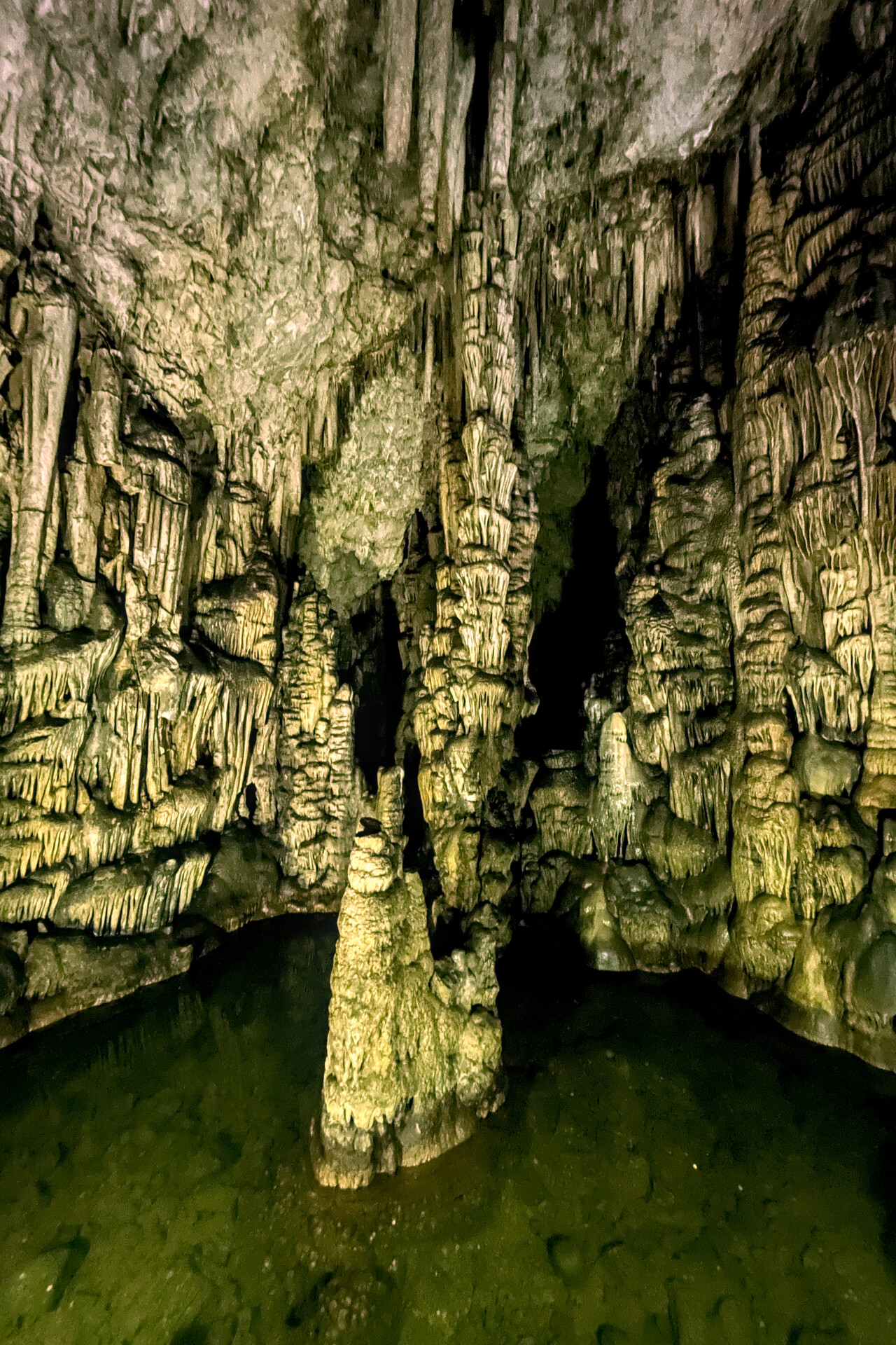
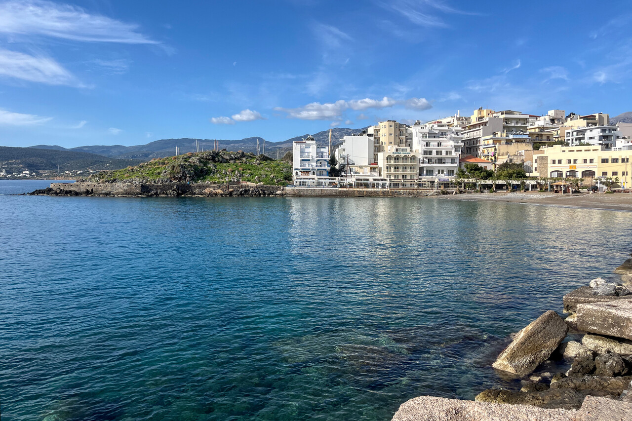
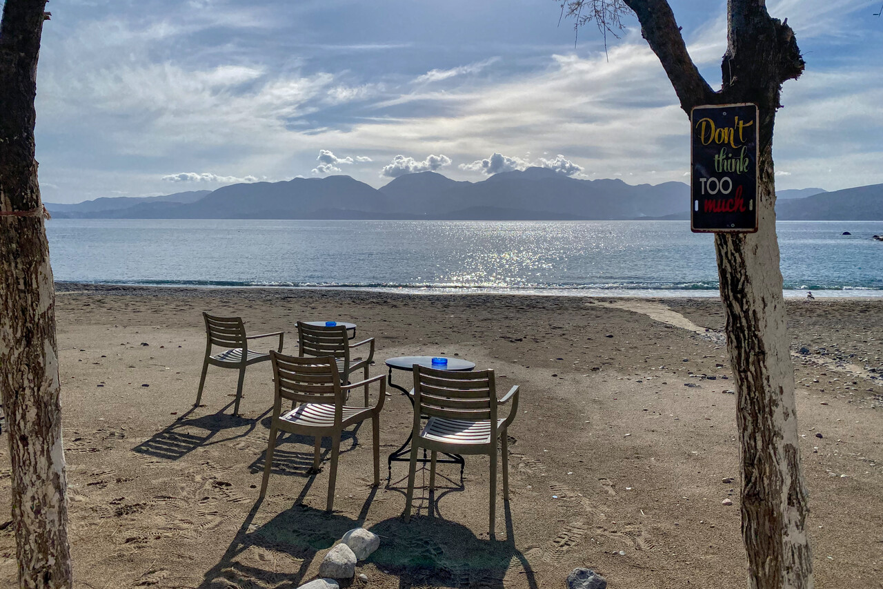
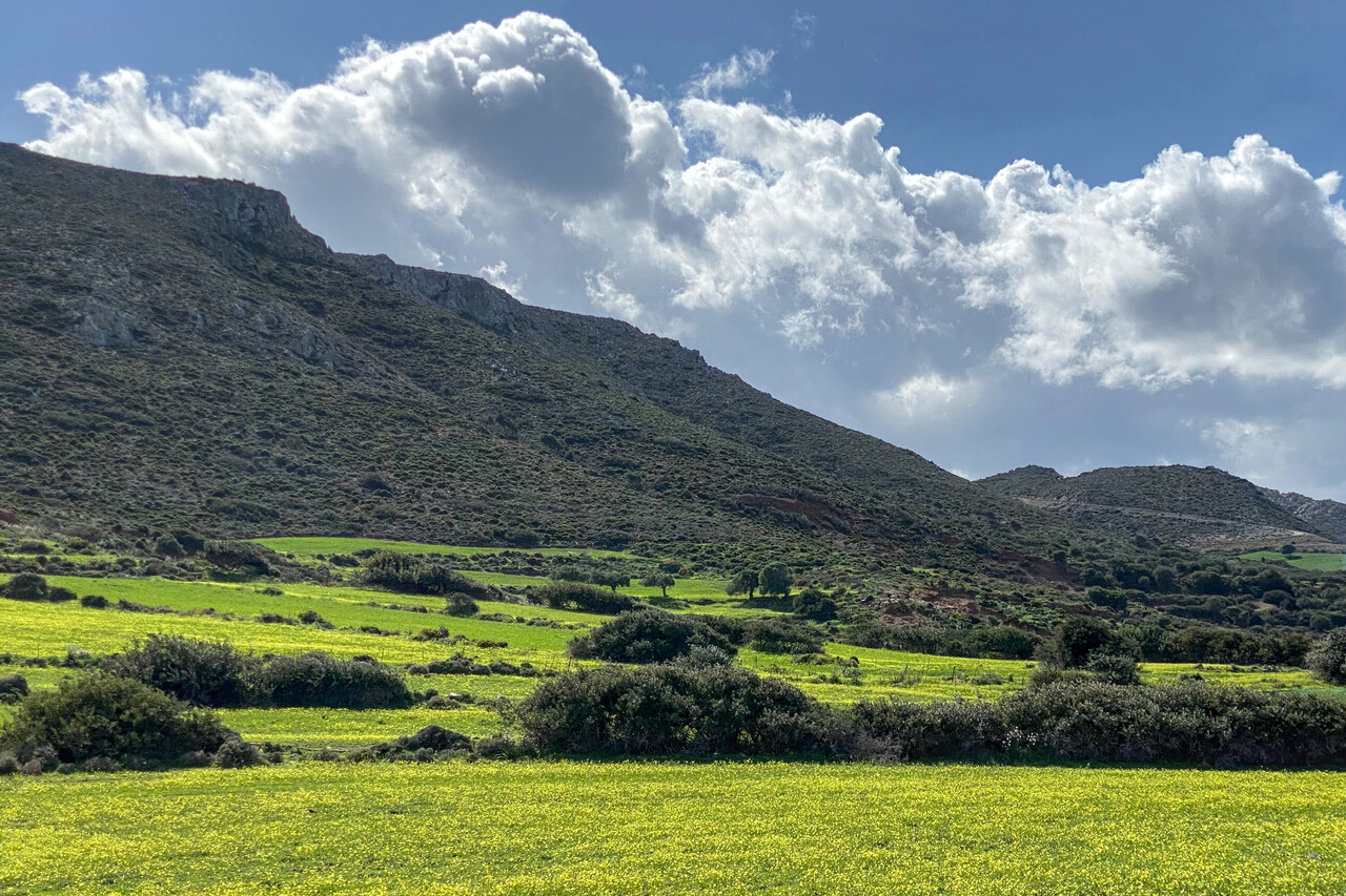
As everything had worked out so nicely, we weren’t in a hurry to get home and opted for a final stop in Greece on the island of Zakynthos. The flight to LGZA across the Peloponnese was quite delightful in perfect weather.
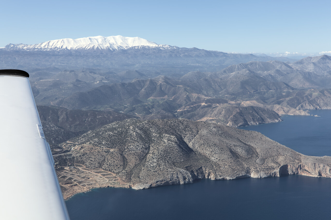
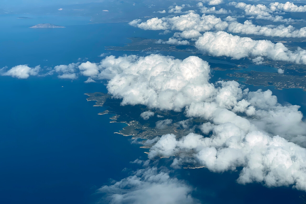
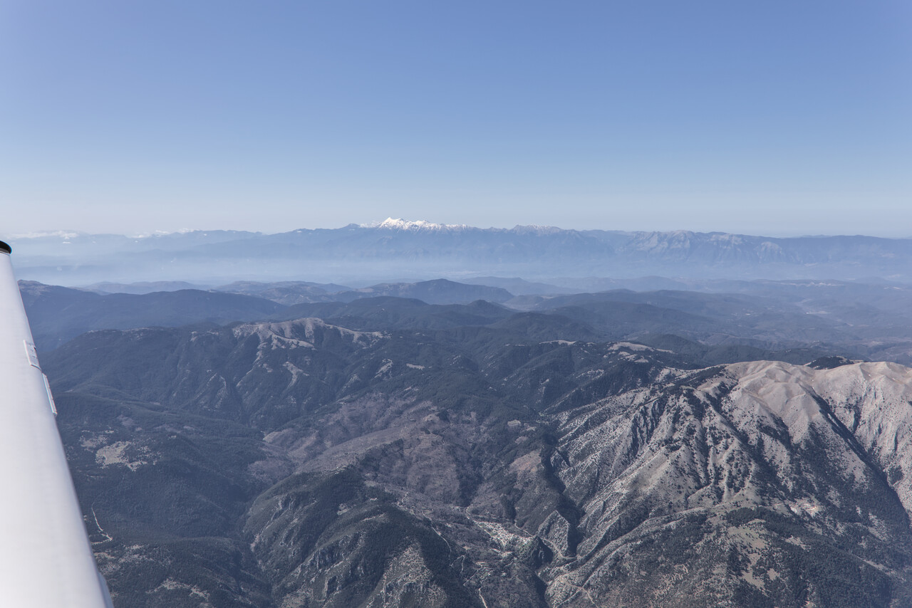
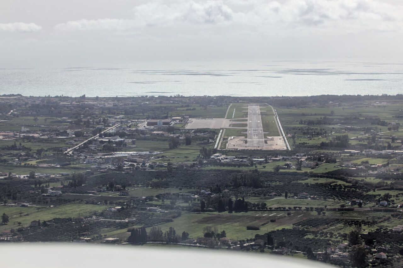
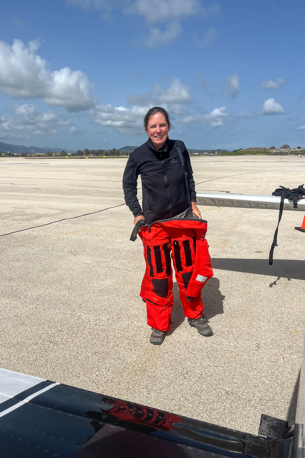
Except for Zakynthos town which is nice, the south and east of the island is overdeveloped and honestly not really worth a visit in my opinion. However, we found the center, north and west really beautiful. Moreover, we learned that they make more than passable wine on Zakynthos.
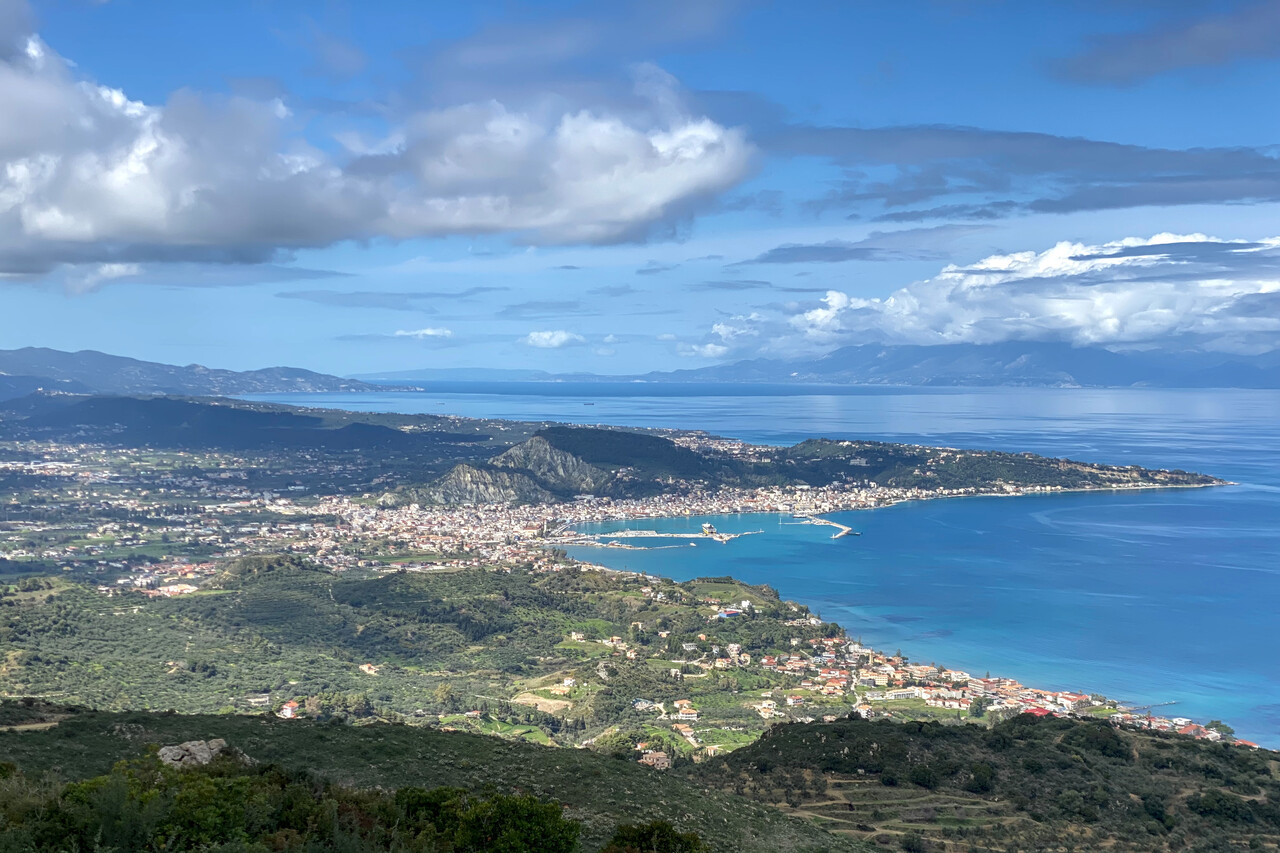
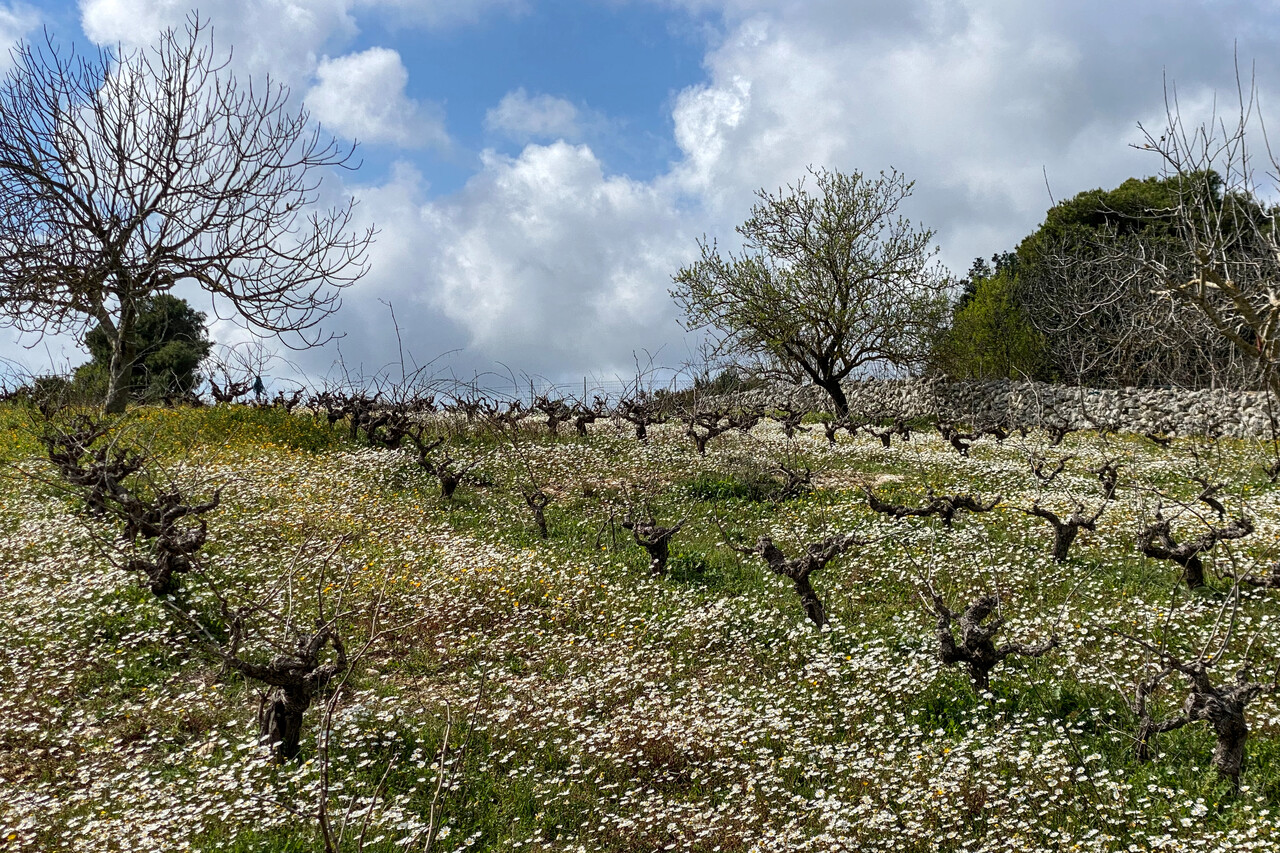
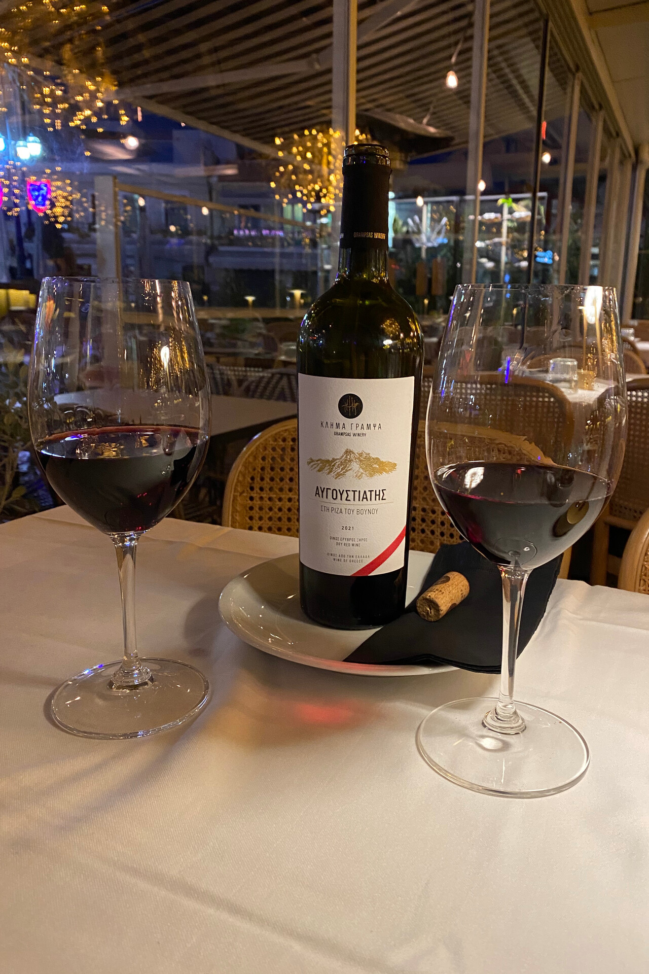
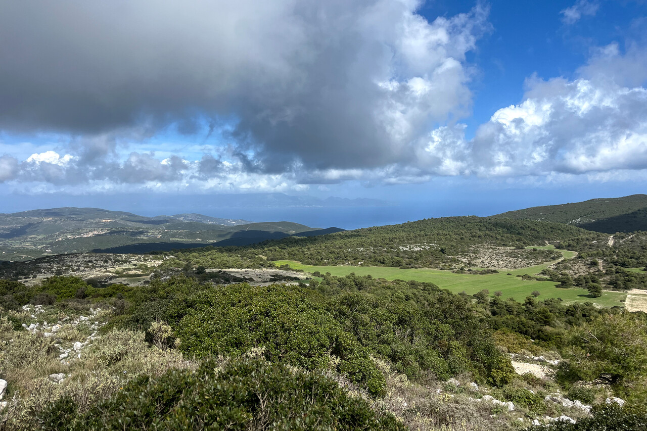
Actually we wanted to meet friends on the island of Brač what would have been our final stop. The weather was forecast to be terrible though, so this didn’t materialize. We spent one more day on Zakynthos to let pass the worst of the weather and then flew to Italy instead. We had chosen Pescara, LIBP as our final stop but this wasn’t our wisest decision. While we had another nice flight, we couldn’t refuel on arrival for absurd reasons. Moreover, one has to contract handling and it’s relatively expensive.
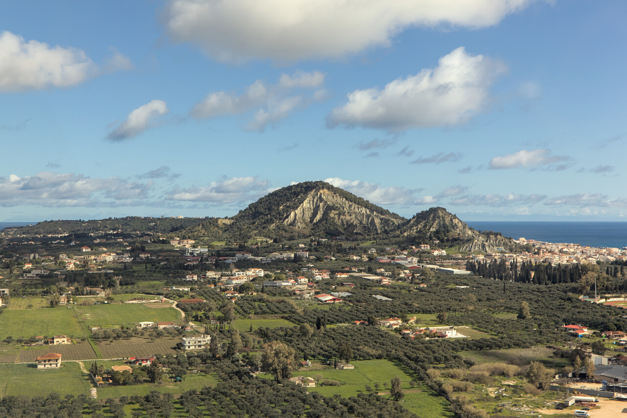
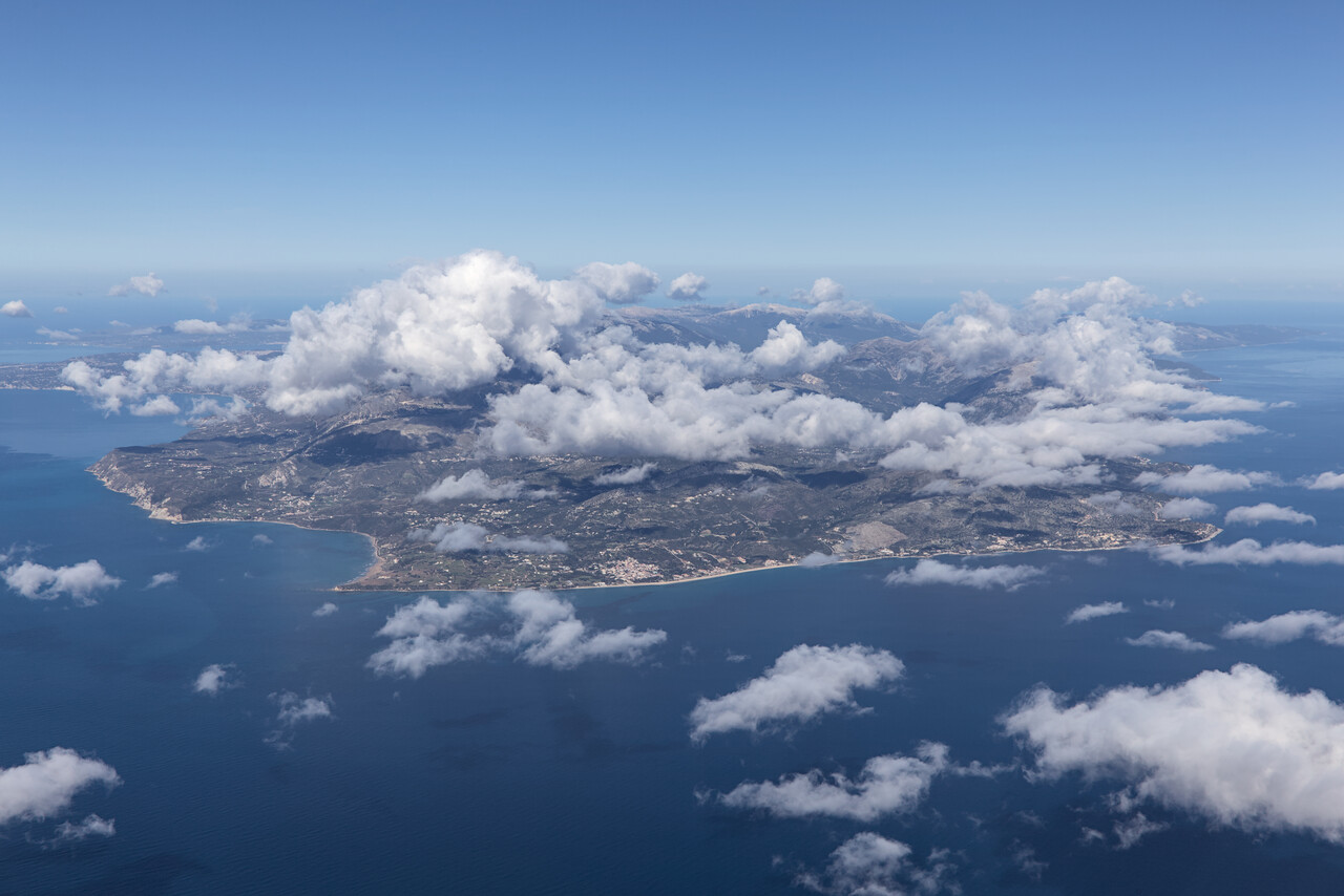
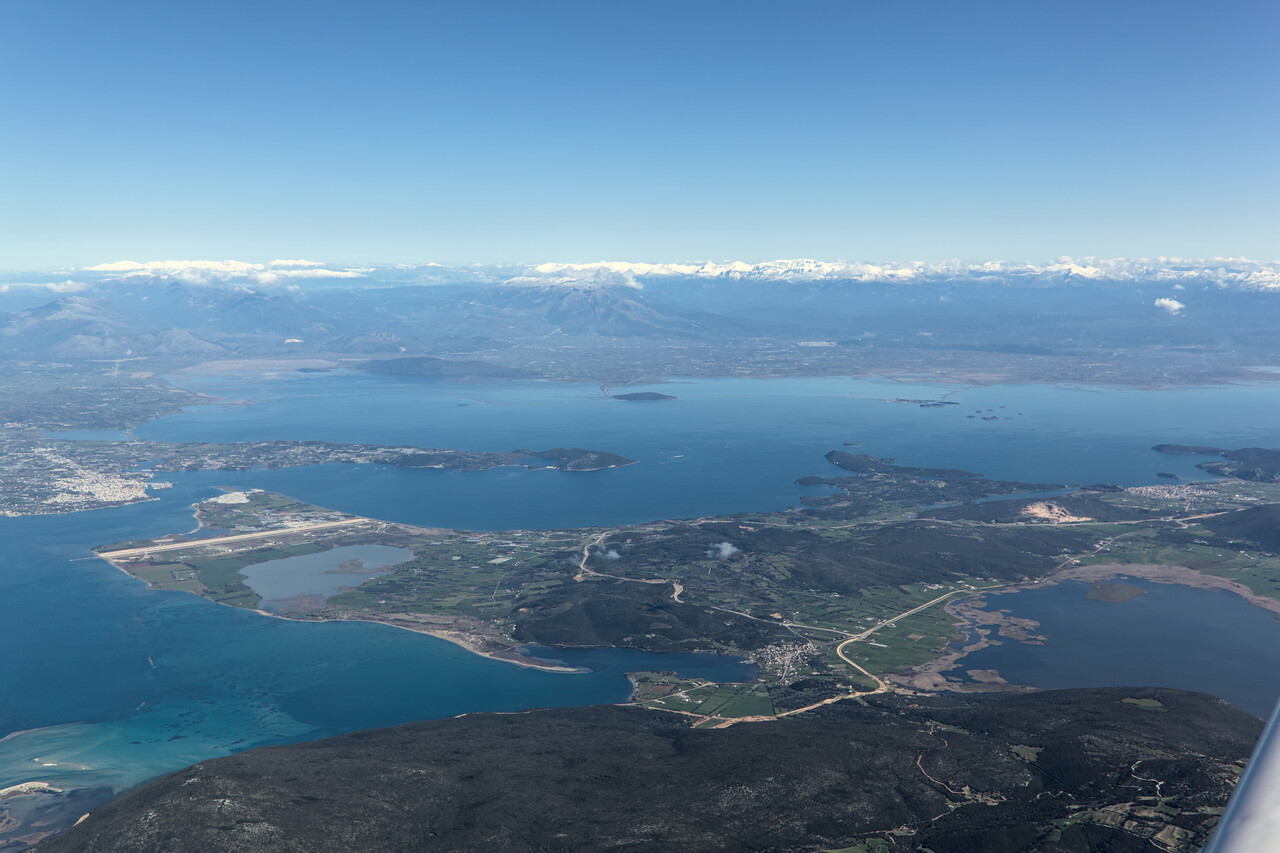
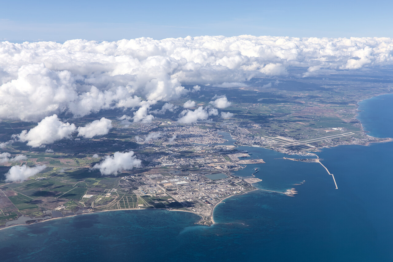
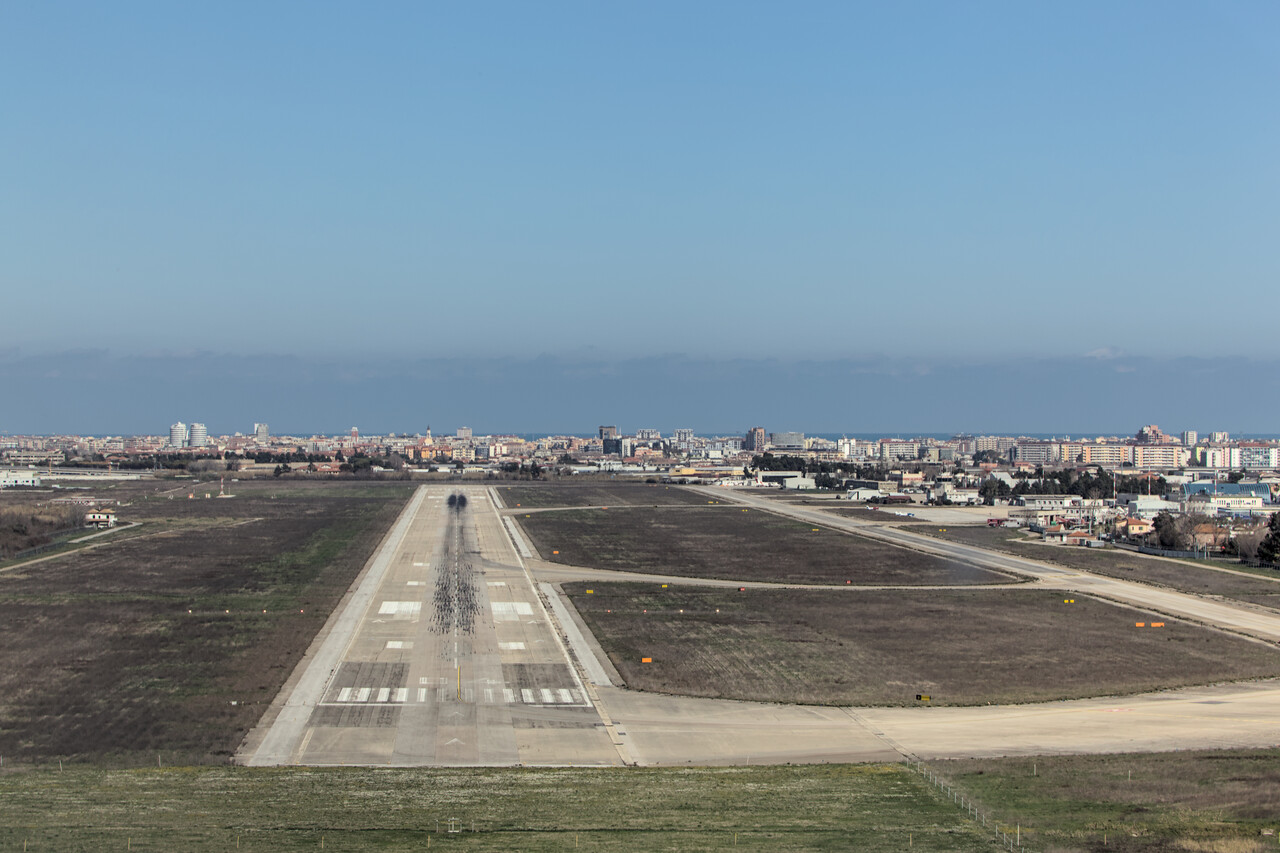
The rather mediocre impression we got at Pescara’s airport didn’t improve much in town. It has been largely destroyed towards the end of WW II and is certainly not one of Italy’s nicer cities.
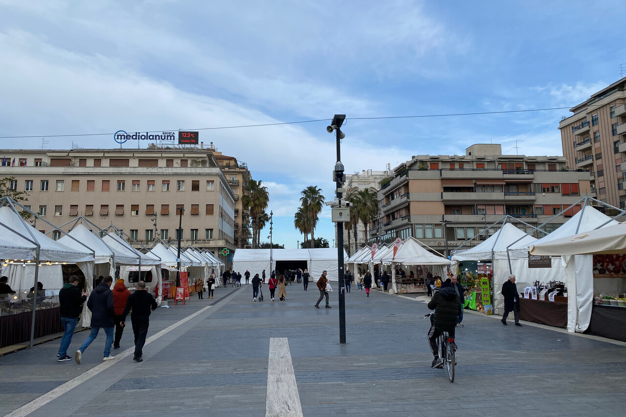
Weather wasn’t too good for the final leg of our journey from Pescara to Mannheim. We were glad that no convection was forecast over the Alps as refueling before departure was completely unpredictable. In the end it worked out despite the slot we had been assigned. We had filed Z with an IFR pickup north of Ancona as there were icy clouds over Pescara. This worked fine, Italian ATC understood what we were after. As forecast, there was an area with almost no clouds north of Ancona, where we could climb to FL180 without picking up ice. The southern part of the Alps was covered in clouds, but further north it was nice.
After almost five months we had crossed the Alps once again and were back over Germany. Less than an hour later we approached our home base where we received a warm welcome.
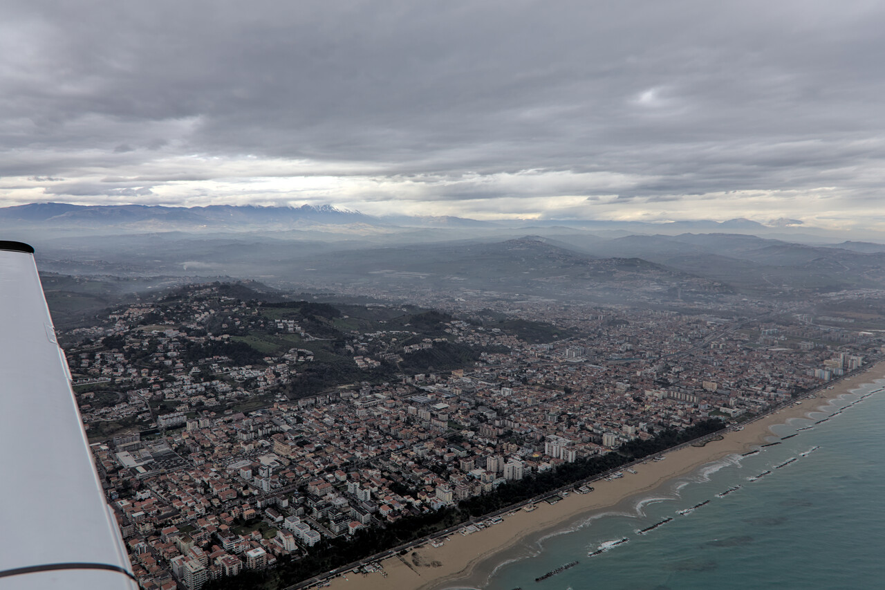
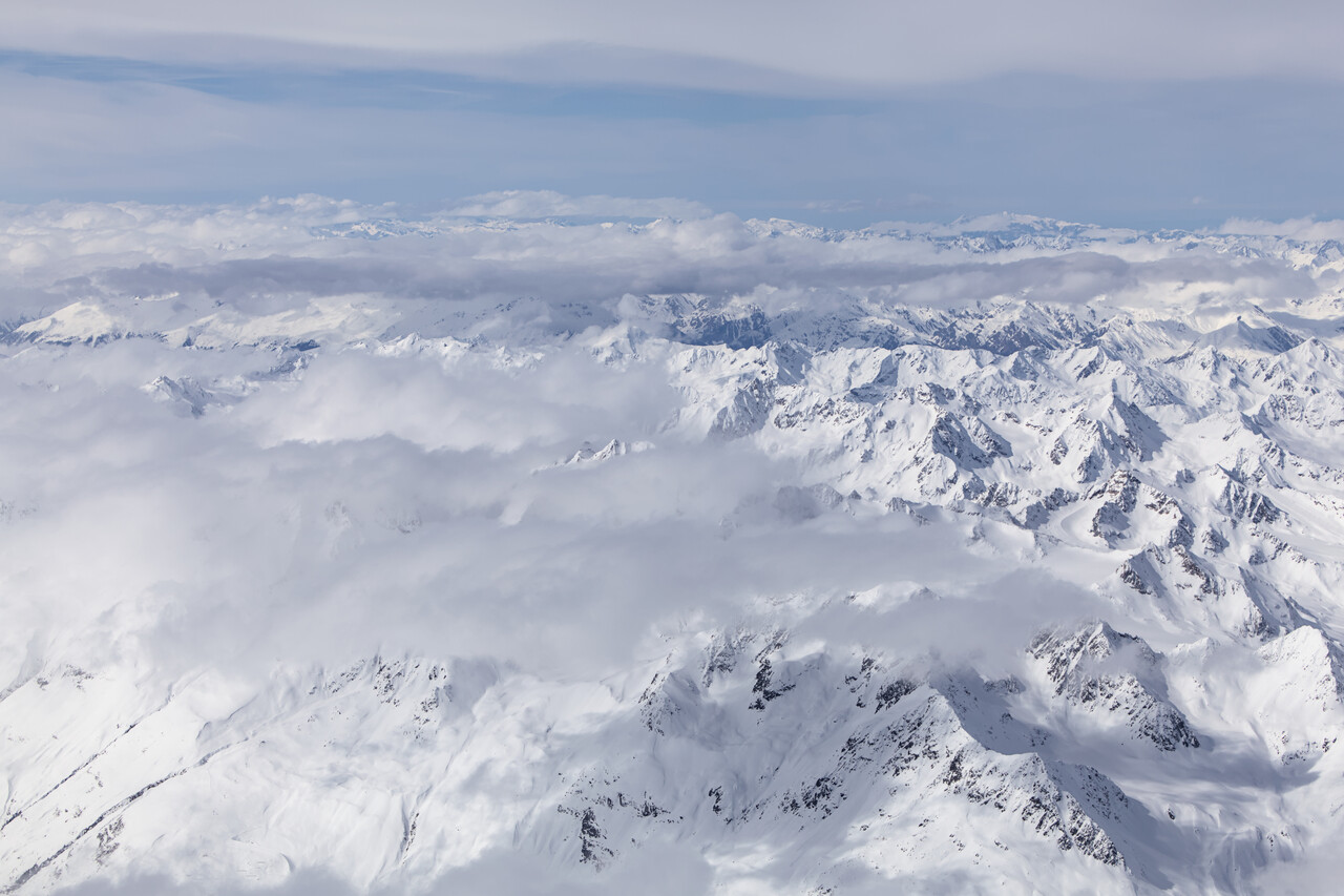
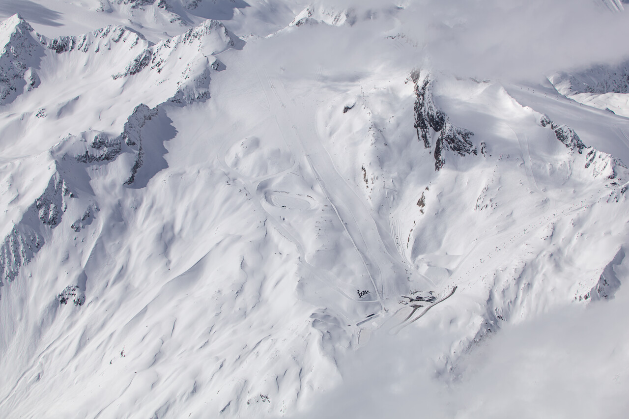
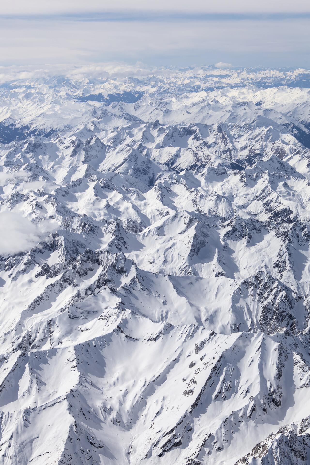
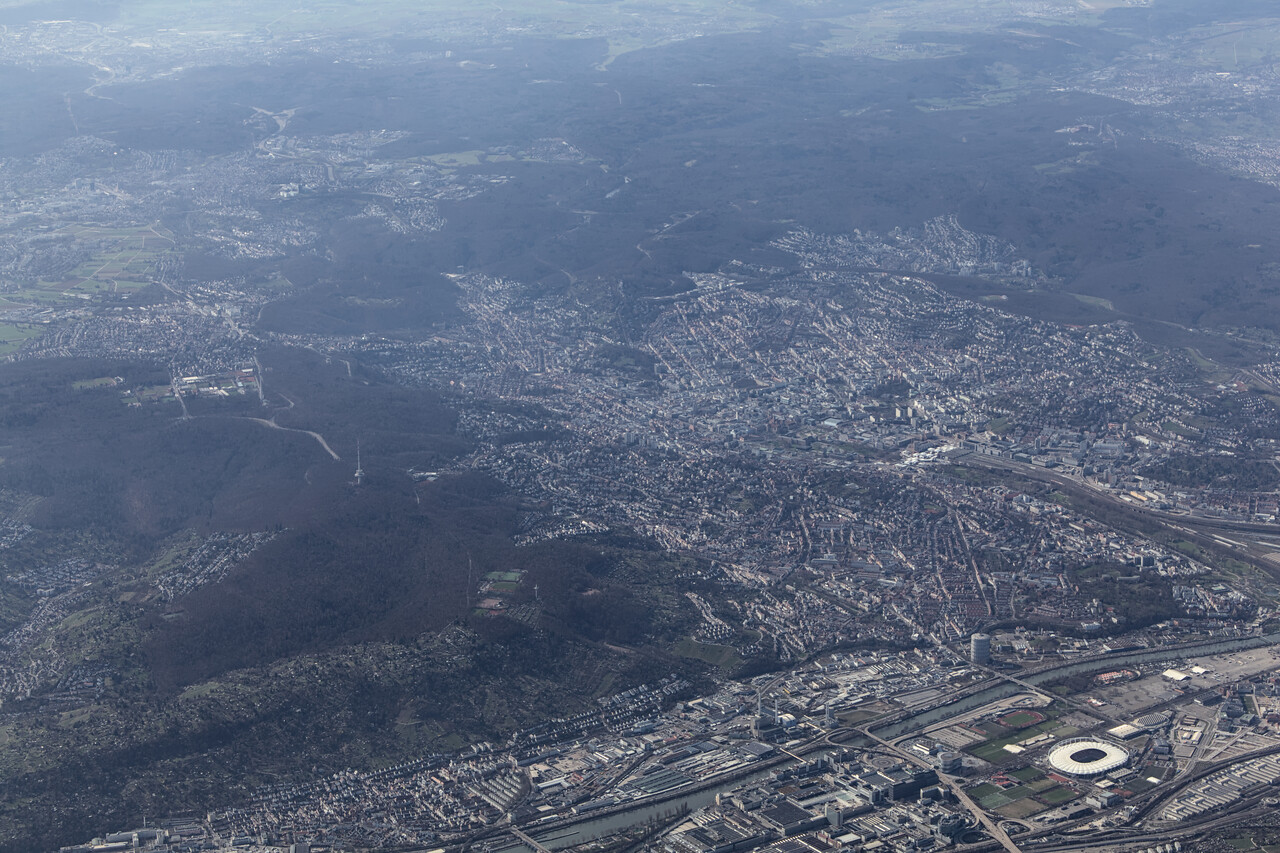
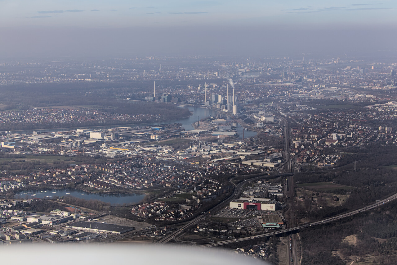
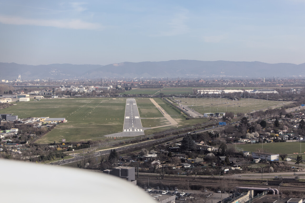
In Retrospect
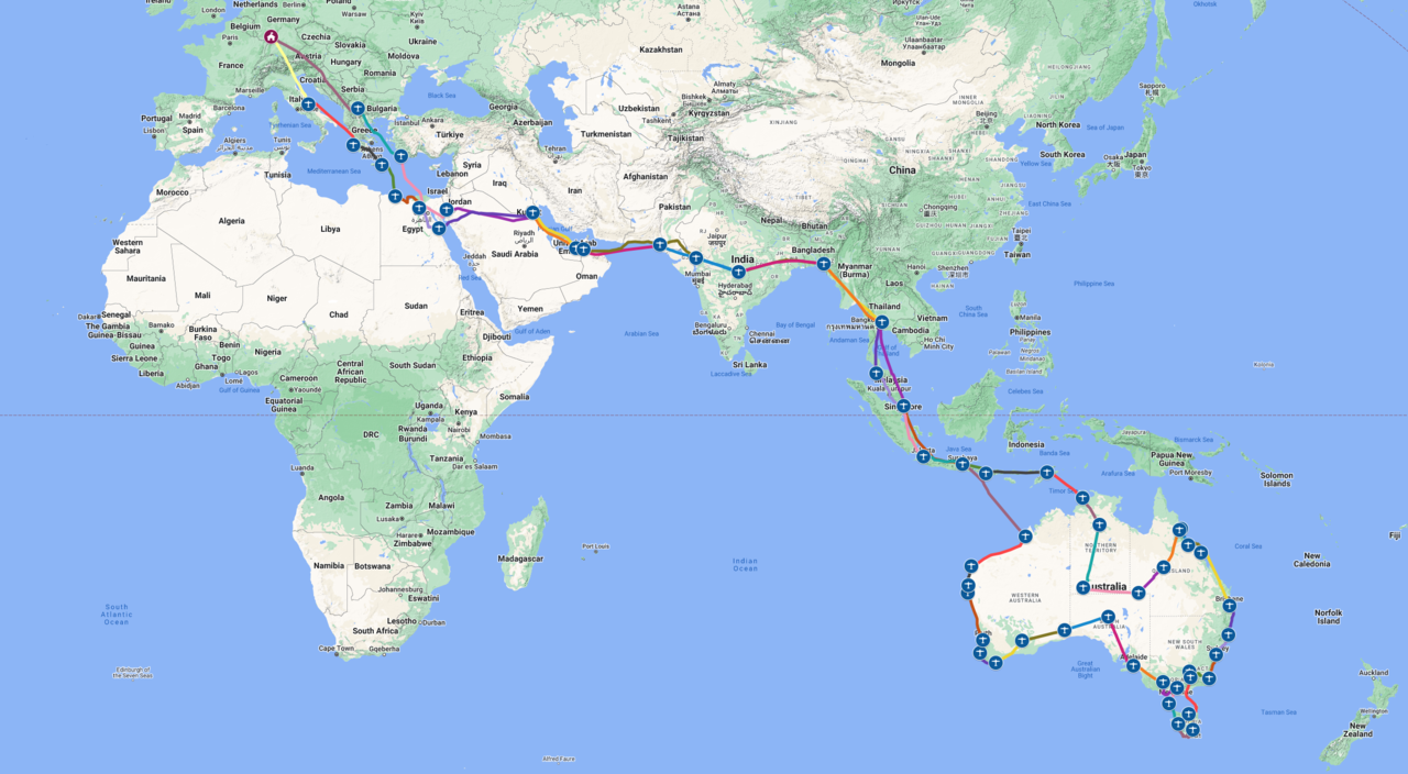
We completed 26377 track miles in 191 hours flight time on this trip. This means we reached an average groundspeed of 138 knots. This is terrible of course, but I already complained a lot about the awful headwind.
While it wasn’t the first long journey for us, it was the first time for us to fly in this region and we had never before worked with an agency which takes care of the permits. We learned a lot to say the least.
Permits and handling
It was the hardest part to make a CAA talk to us at all when we organized permits on our own during our South America trip. The asset of permit agencies are local contacts they know and they work with for many years. These local agents know how to interact with the respective CAA and how to get the permits. I don’t believe it would have been possible to obtain a permit directly from say the Bangladeshi CAA. This may be a prejudice, though, I didn’t try.
You most probably could work with local agents directly if you had the contacts. I would maybe even do that if I needed it just for one country – say we wanted to fly to Egypt and back. However, we were very happy with the service of White Rose and would work with them again any time. For a longer journey that requires overflight and landing permits of numerous countries, I would really highly recommend them.
Contracting handling at the airports between Egypt and Indonesia can’t be avoided realistically. We once self handled at Cali what was a considerable effort (even though we speak the local language) but this would never work at these airports, I guess. Moreover, filing flight plans apparently is only possible via a handler. Therefore one simply has to contract handling and hope to get a decent service without being ripped off completely.
In hindsight I’m quite happy with what we got except for Kuwait and in part Langkawi, Malaysia. In Kuwait it really was a nuisance and I still suffer from mild hypertension when I think about it. The guy in Malaysia was really clue-less, but he was so nice and friendly, I couldn’t get really angry.
Indonesia was a bit different as White Rose didn’t want to coordinate with the local agencies, we had to do this ourselves. Probably they suffered from a let-down in Indonesia before. We had been to Indonesia many times by airline transport and were well aware of the cultural particularities. Countless phone calls and constant mild pressure are required to make things run smoothly but even then there is no guarantee. Fuel wasn’t available in Jakarta on the way down, otherwise everything worked fine.
In comparison
Of course we couldn’t resist to compare this trip to the South America loop we did in 2017/2018. Fun fact: at 26069 track miles we covered almost exactly the same distance but that only took us 167 hours. This results in 156 knots average groundspeed, so we had much more favorable winds back then.
I could never tell which of the journeys was better, both were unforgettable and full of flying highlights. We met great people on both trips, even more this time, though. However, the two journeys were completely different. Flying in Latin America is never as free as in Australia, not even in Chile. OTOH permit requirements are nowhere as restrictive there as they are in the Middle East or in South and Southeast Asia (maybe in Peru they were, but that was just one of many countries).
To get to Australia and back we had to follow the schedule of the permits for weeks. In South America we obtained necessary permits ourselves, usually for the next one or two countries we wanted to fly to. However, these flights would still be A to B and mostly under IFR. This time, once we were in Australia, almost all flights were under VFR, as low as possible and with as many circles as we pleased, like in this example.
Final thoughts
Was it worth it? Most definitely! However, this was most probably a once-in-a-lifetime trip. While we would go flying around Australia tomorrow if we could, we wouldn’t fly down there a second time. The money and effort required is simply too much and we would not repeat a trip anyway. Moreover, there are still a few other tempting destinations. Maybe the stars will align once again in a couple of years, who knows 🙂.
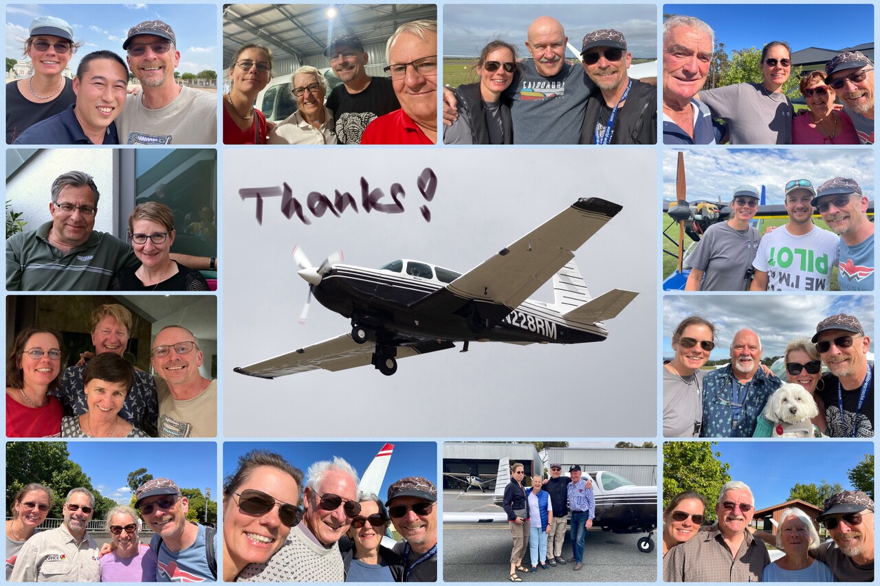
|
This journey would not have been possible without the help of old and new friends of ours; at least it would not have been what it was without their support and hospitality - thanks so much for that! In particular I would like to thank Kathleen and Guido Warnecke for sharing their knowledge and helping us out in so many ways during and after our journey. Barom Somritvanitcha bent backwards to help us in Bangkok. Moreover, he took us flying and, most important, invited us for lunch — ขอบคุณ ครับ. As I wrote before, it’s the Australian pilots who made this journey unique. I’m really grateful and would like to thank all of you. Special thanks to: Jane and Simon Errey for all the fun we had and for lending us the best car on the continent. Victor Rimkus for his help and advice. Jennifer and Ted Munckton for their hospitality. John Smith and Judi Dunning for having us at their beautiful home and for introducing us to Tobi. Michael ‘Banjo’ Young for all the stories and for the nice time we had. Joshua Schuessler for the barbie and for taking us flying. John and Rosemary Hillard for having us in Mount Beauty and for taking us to the secret museum. Anne and Michael Smith for the buttered scones and for the Gin. Rachel and David Markus for showing us the kangaroos. Jim and Sue Leeke for food and wine and the fun evenings — you are our role models for the next 25 years! Chris and Viv Thomson for the most memorable wine tasting in our lives. Suzette Rains and Owen Crees for interesting conversation and for the Paella. Moreover, it was Owen who made all this possible via AMPA. And finally Helen Porter and Kevin Lewis for the fun evening and for the great food. |